Jebel Sahro (April 2014) -- Part 2: From Tizi n′Tagourt to Qalaat Mgouna
![]()
Return
to Sahro & Atlas 2014 webpage
Map.
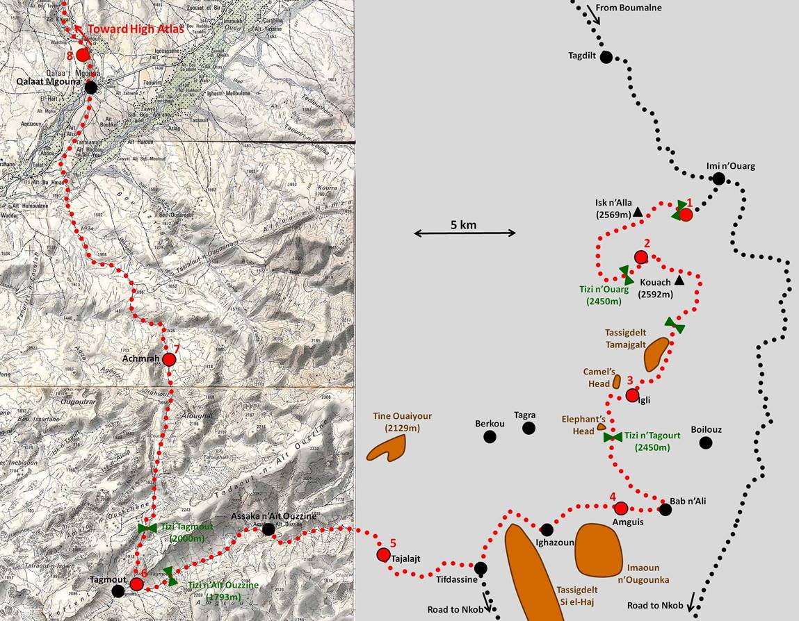
(Trek itinerary is in red dotted line.
Big red dots labeled by numbers designate night camps.)
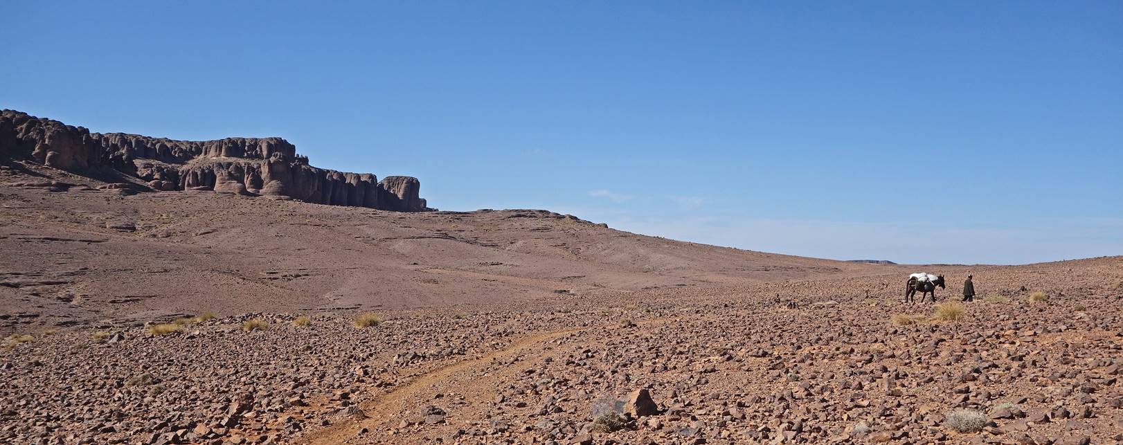
Approaching Tizi n′Tagourt.
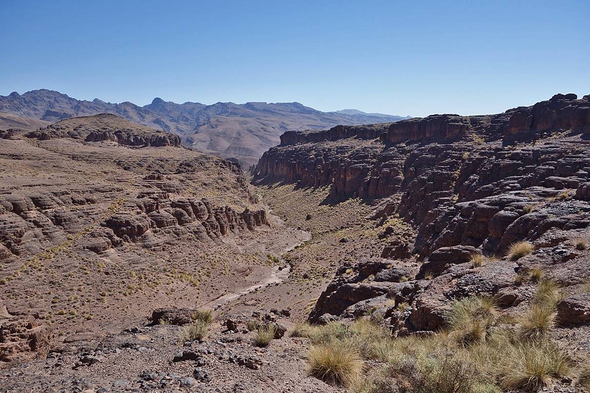
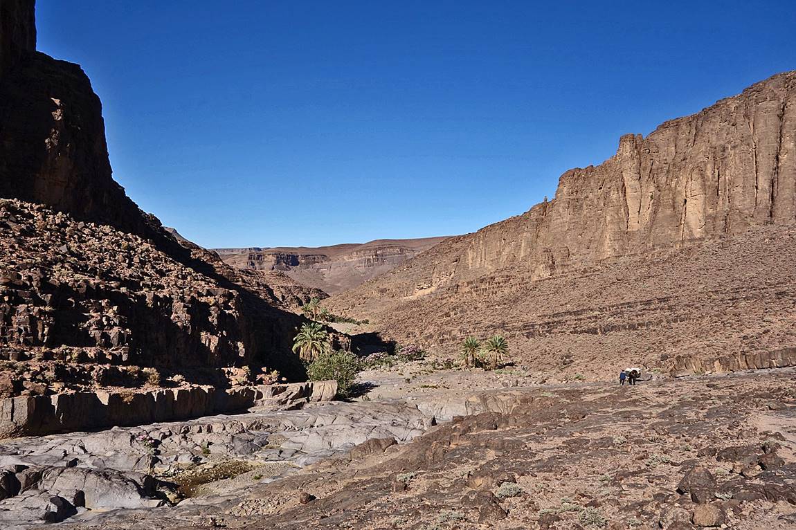
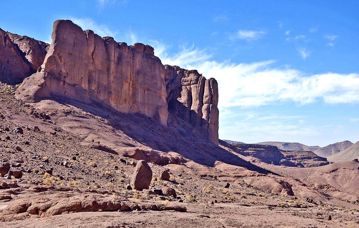
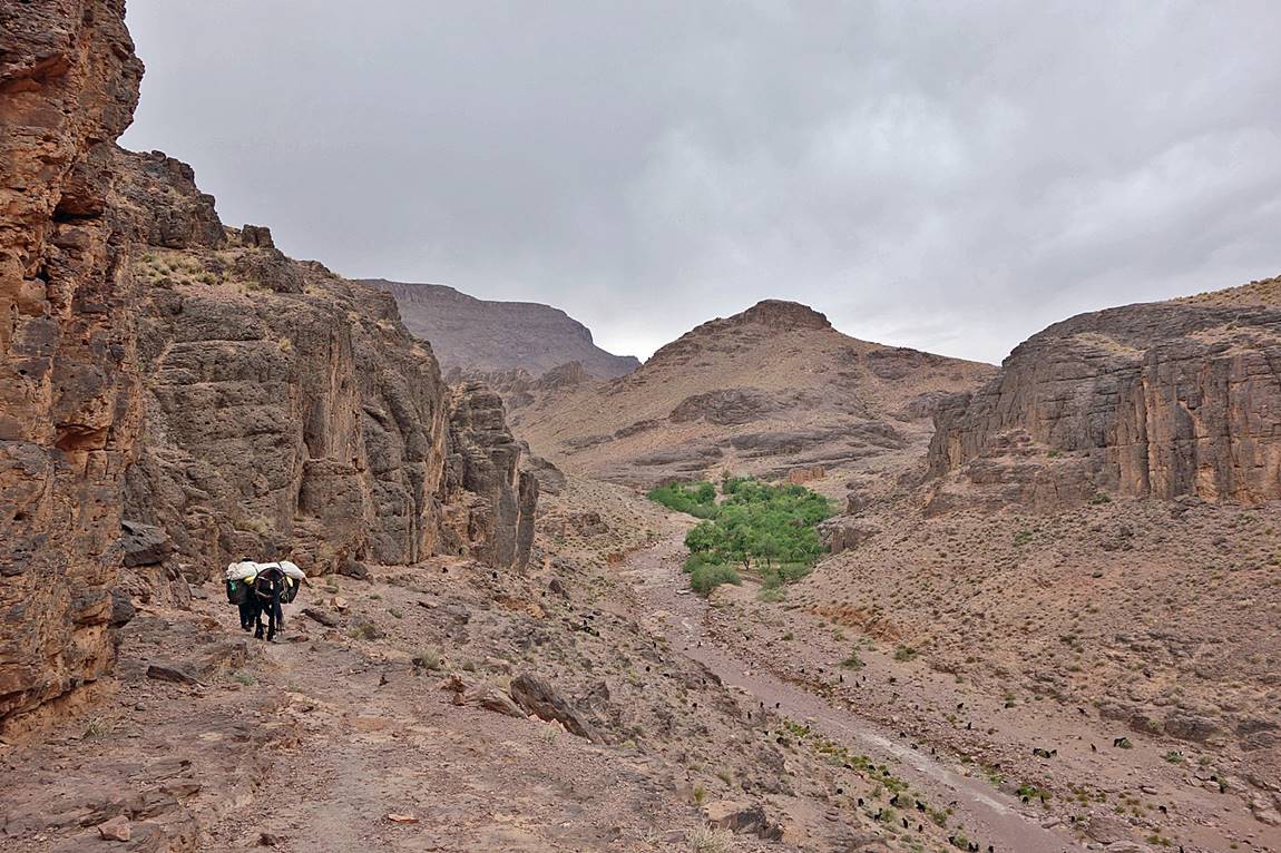
Canyon between Tizi n′Tagourt
and Bab n′Ali.
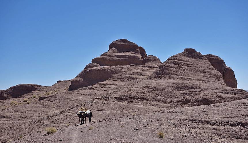
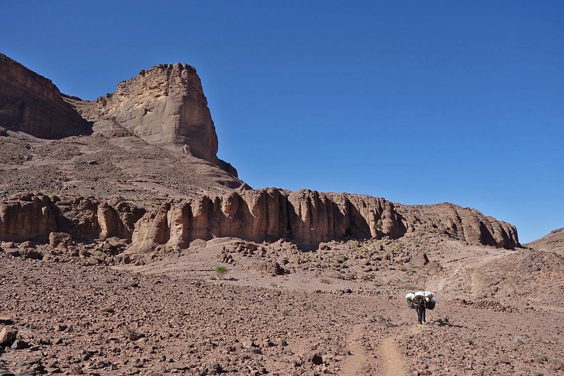
Rock formations before reaching Bab n′Ali.
|
|
|
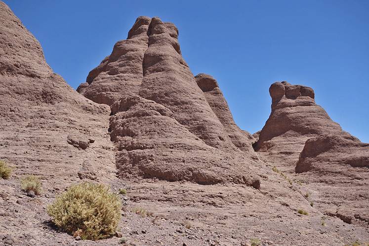
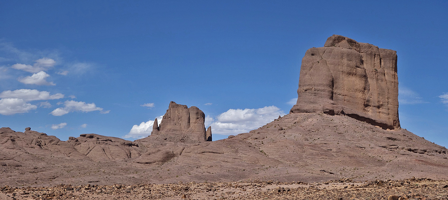
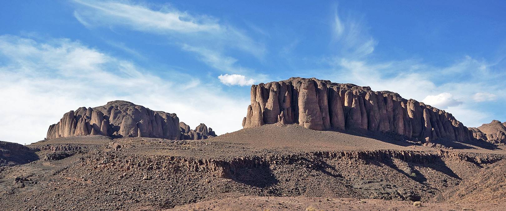
Rock towers of Bab n′Ali.
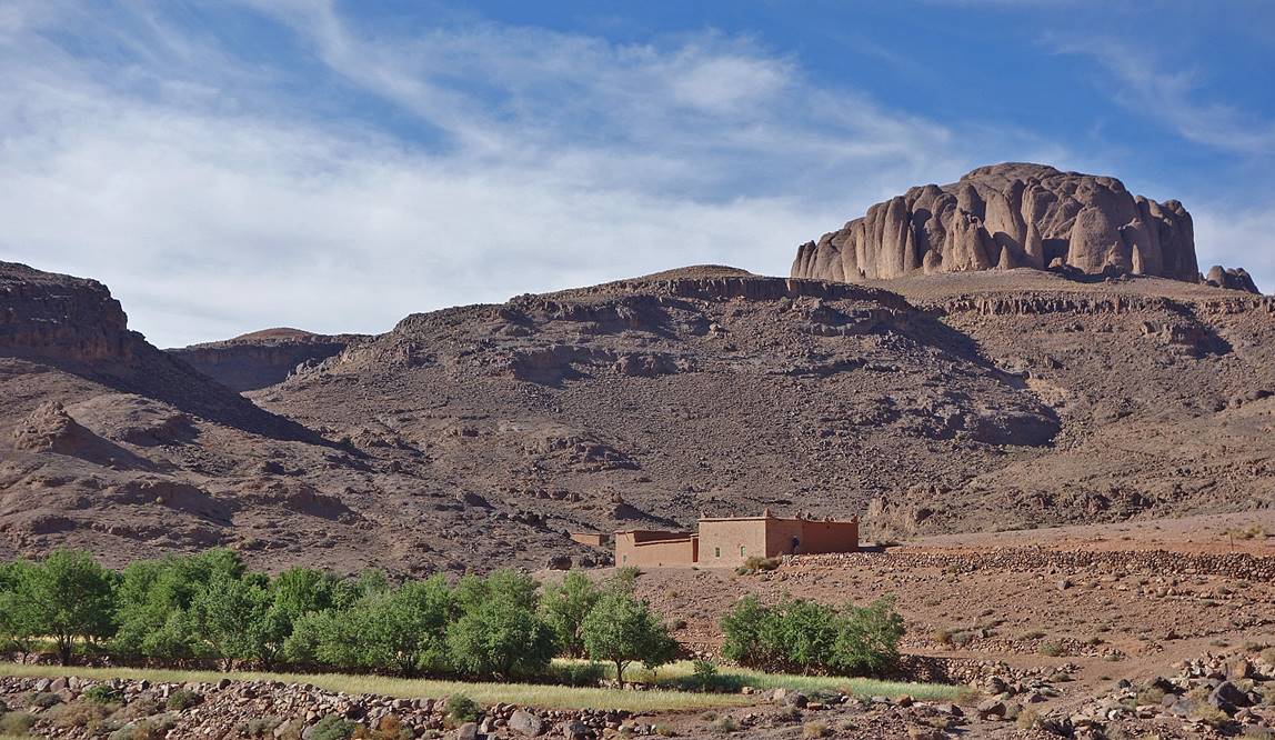
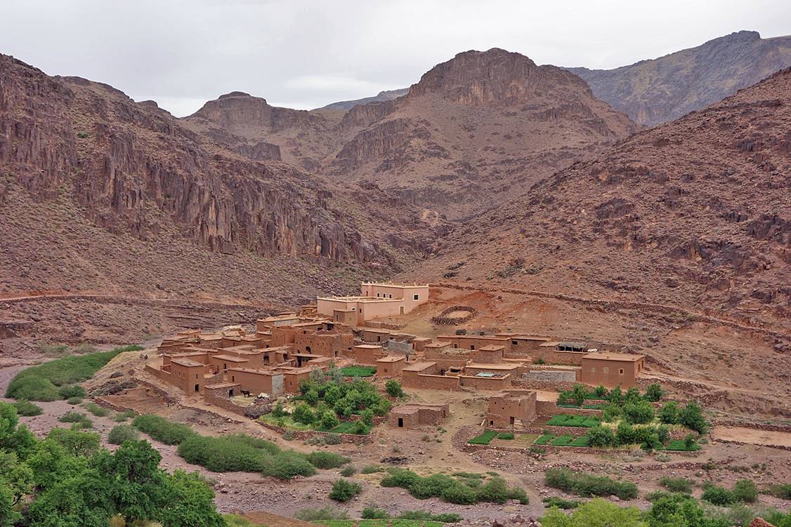
Cliffs above the small hamlet of Amguis, where
we spent night #4.
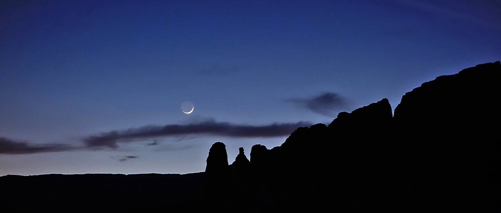
View from my tent at dusk in Amguis.
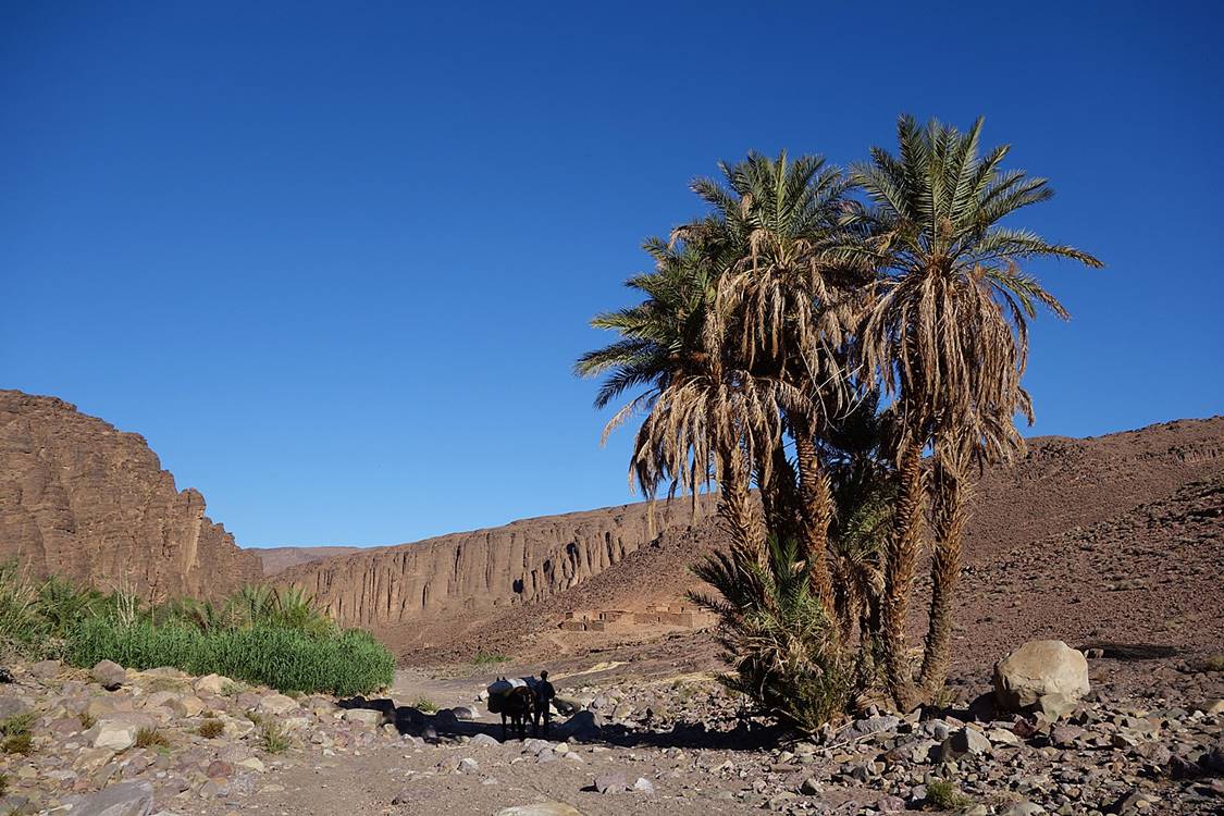
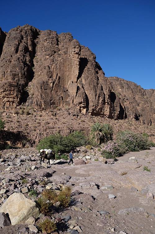
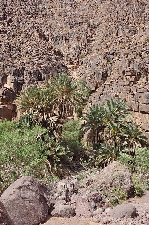
Along the riverbed of Assif Amguis
(mostly dry at that time of the year) between Amguis
and Ighazoun.
|
|
|
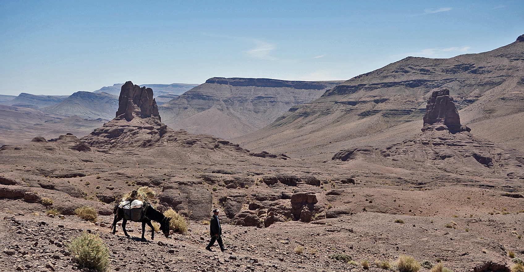
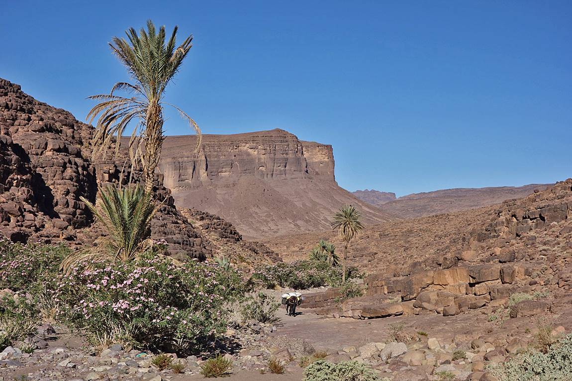
Still in the riverbed of Assif Amguis, with the cliffs of Imaoun
n′Ougounka visible in the center-left of the
photo.
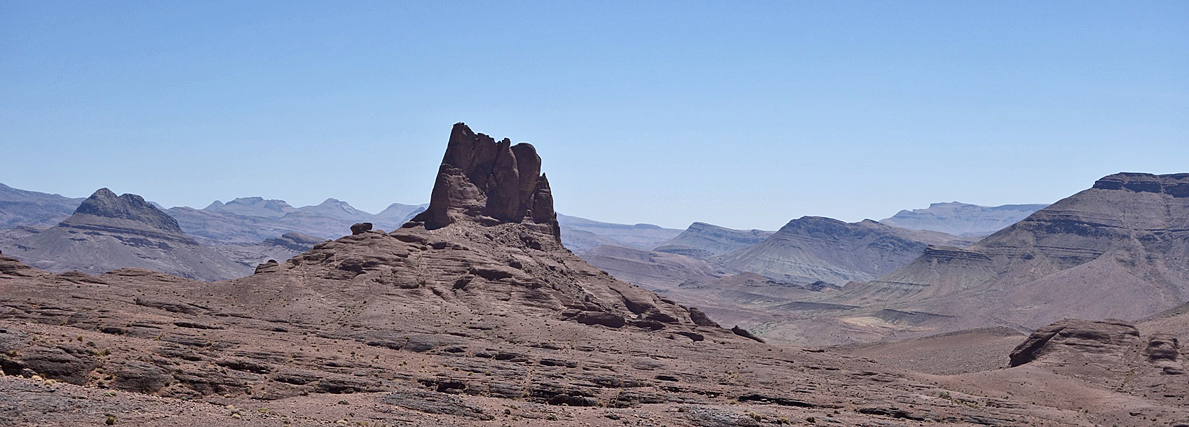
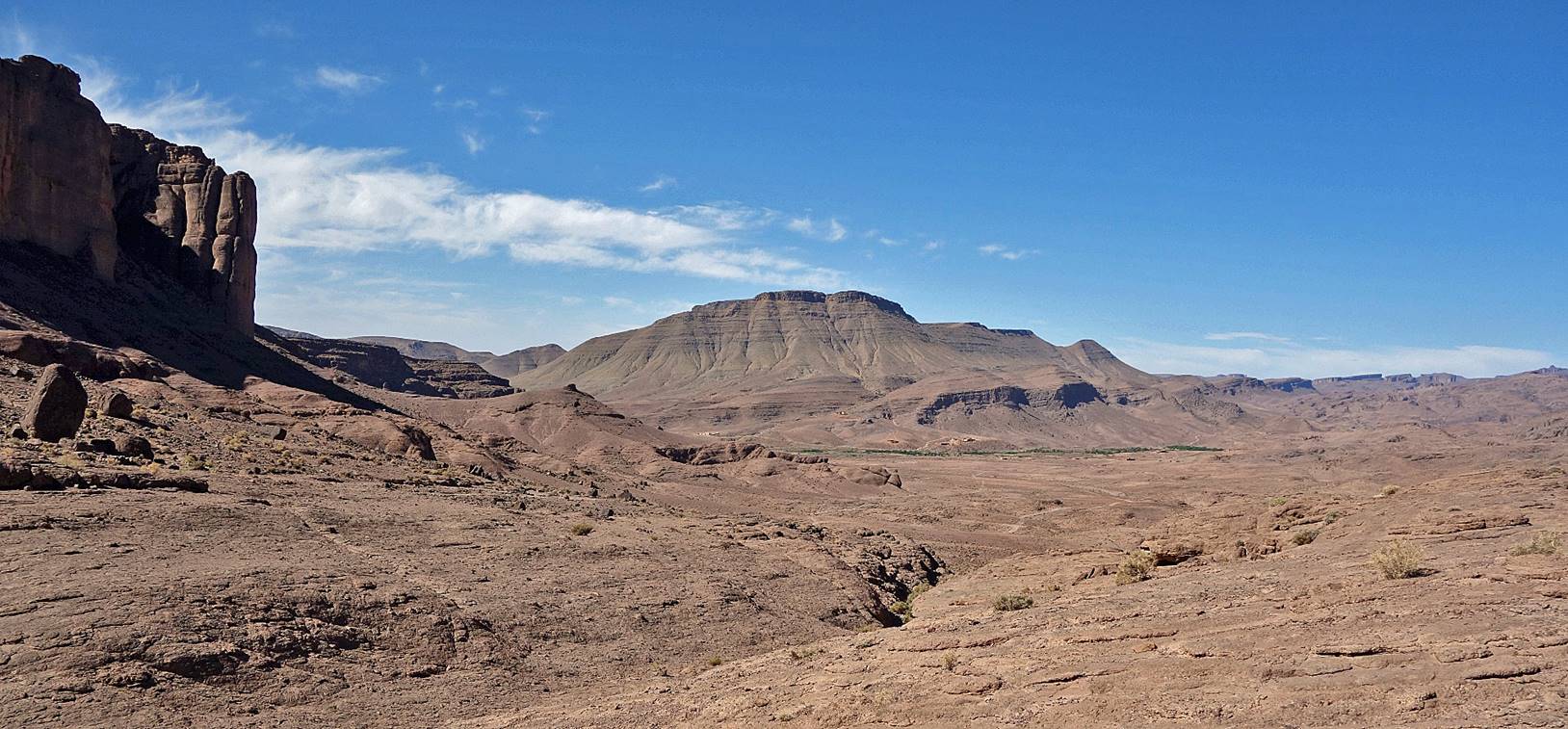
Arriving at Ighazoun, with Tassigdelt Si el-Haj visible in the background.
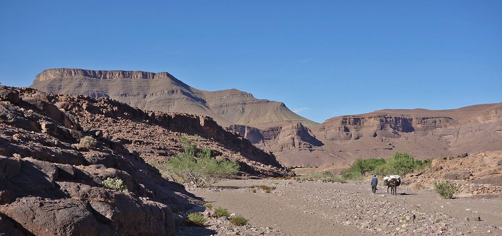
Cliff of Tassigselt
Si el-Haj.
Approaching the village Tifdassine.
Small village of Akerkour a few kilometers
before reaching Tajalajt where we spent night #5.
|
|
|
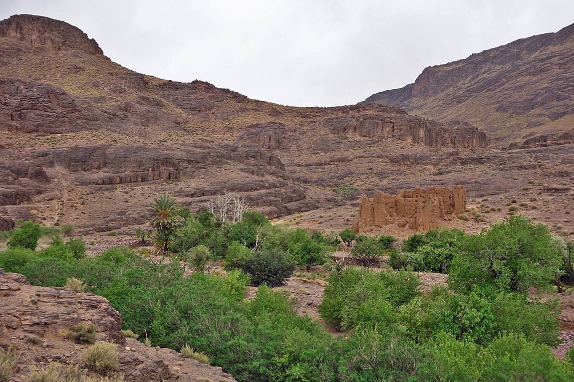
Small oasis between Tajalajt and Tizi n′Ait Ouzzine, with crumbling kasbah.
Reaching Tizi n′Ait Ouzzine.
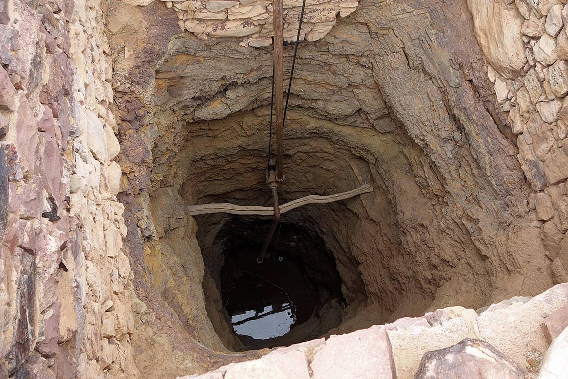
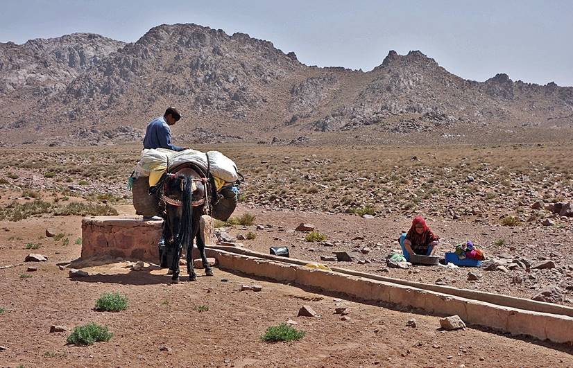
Well at our campsite #6 near Tagmout.
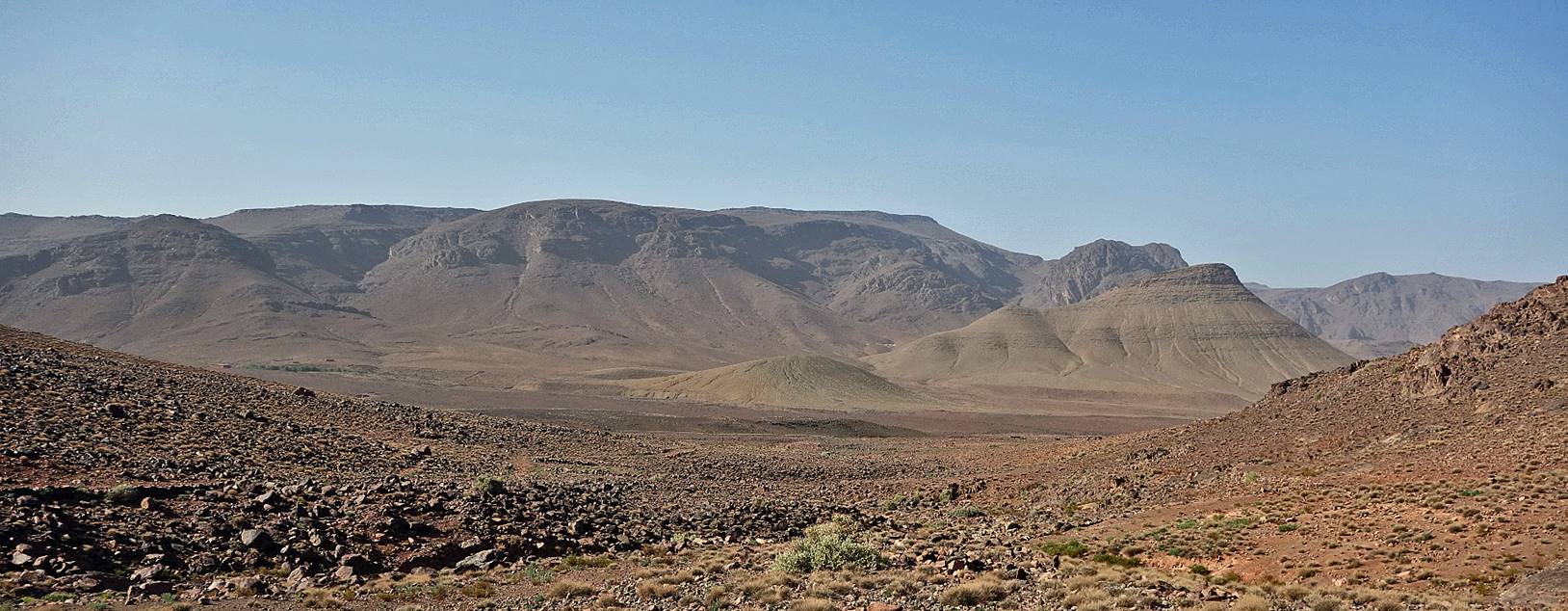
Looking south from Tizi
Tagmout. Our campsite #6 was in the green patch
visible on the left of the photo.
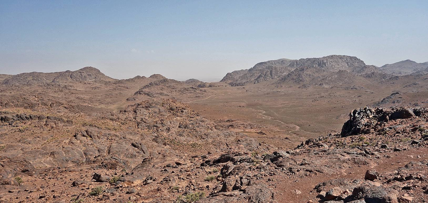
Looking north from Tizi
Tagmout.
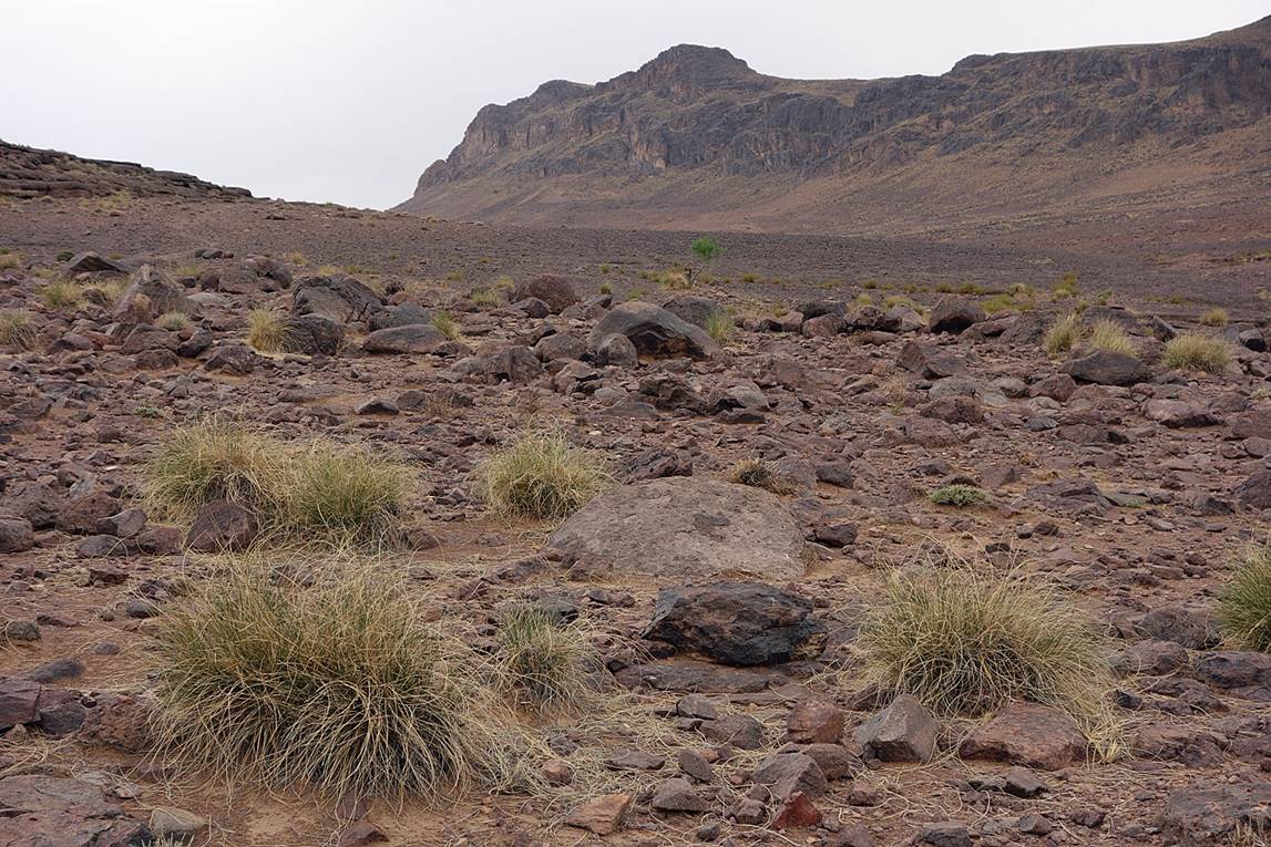
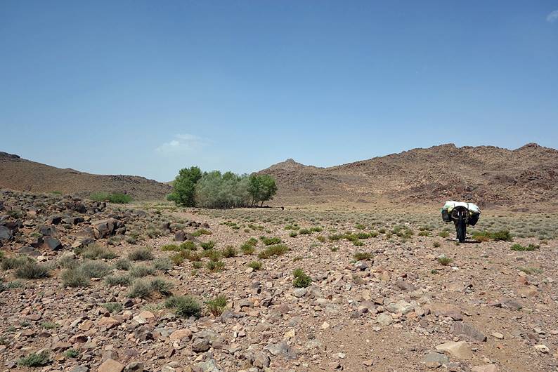
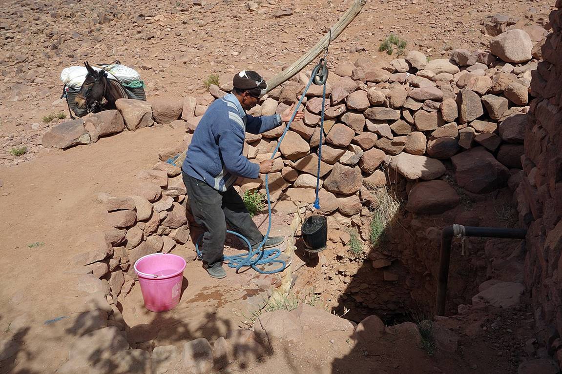
Short halt at a small water source.
|
|
|
Another well further north.
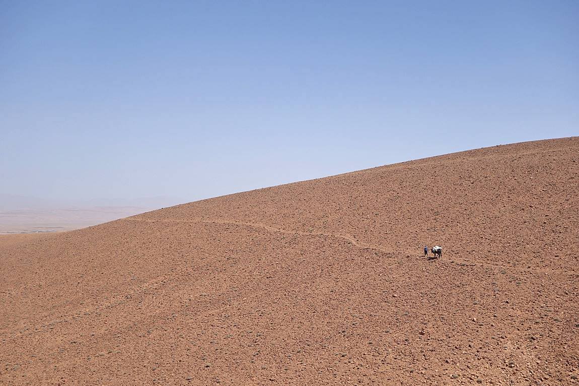
Last hill before reaching Qalaat Mgouna.
Finally Qalaat Mgouna
was getting close. It was a very hot day. Only the foothills of the Atlas mountain are visible on the other side of the town.

Click on the following links to see photos of other sections of the trip:
- Jebel
Sahro, Part 1: from n′Ouarg
Valley to Tizi n′Tagourt,
- Central
Atlas, Part 1: from Qalaat Mgouna
to Assif Imejdag,
- Central
Atlas, Part 2: from Assif Imejdag
to Zawyat Ahancal.
![]()