Algeria
(1973): Chott el Hodna,
Timgad, Mzab and Tassili n′Ajjer
![]()
Return to my
mountaineering/trekking/travel webpage
This page shows
pictures of two trips that I made to Algeria in 1973. On the first tri, in
April, I first went trekking along the southern shore of Chott
el Hodna located about 200km southeast of Algiers,
then I visited the Roman ruins of Timgad some 35km east of the town of Batna (see map below). On the second trip, in December I
visited the M′zab region and the Tassili n′Ajjer,
respectively 460km and 1500km south of Algiers.
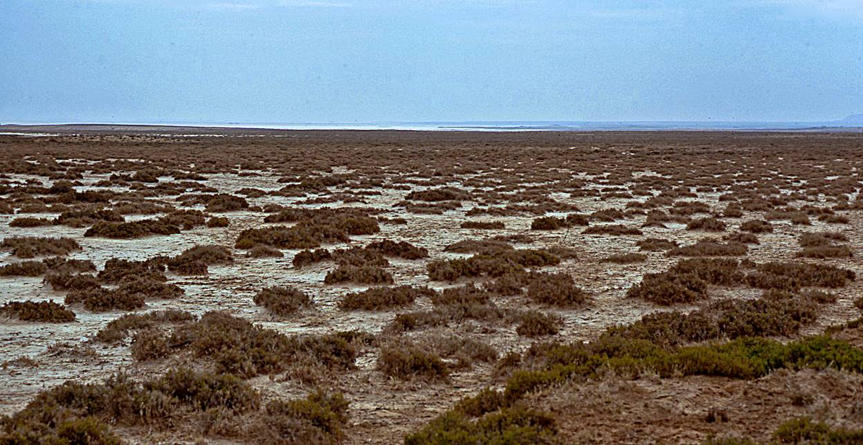
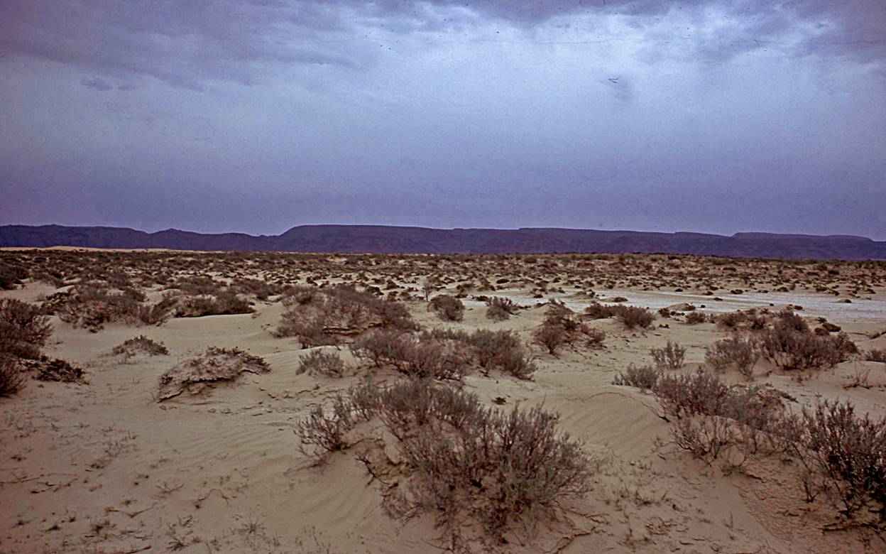
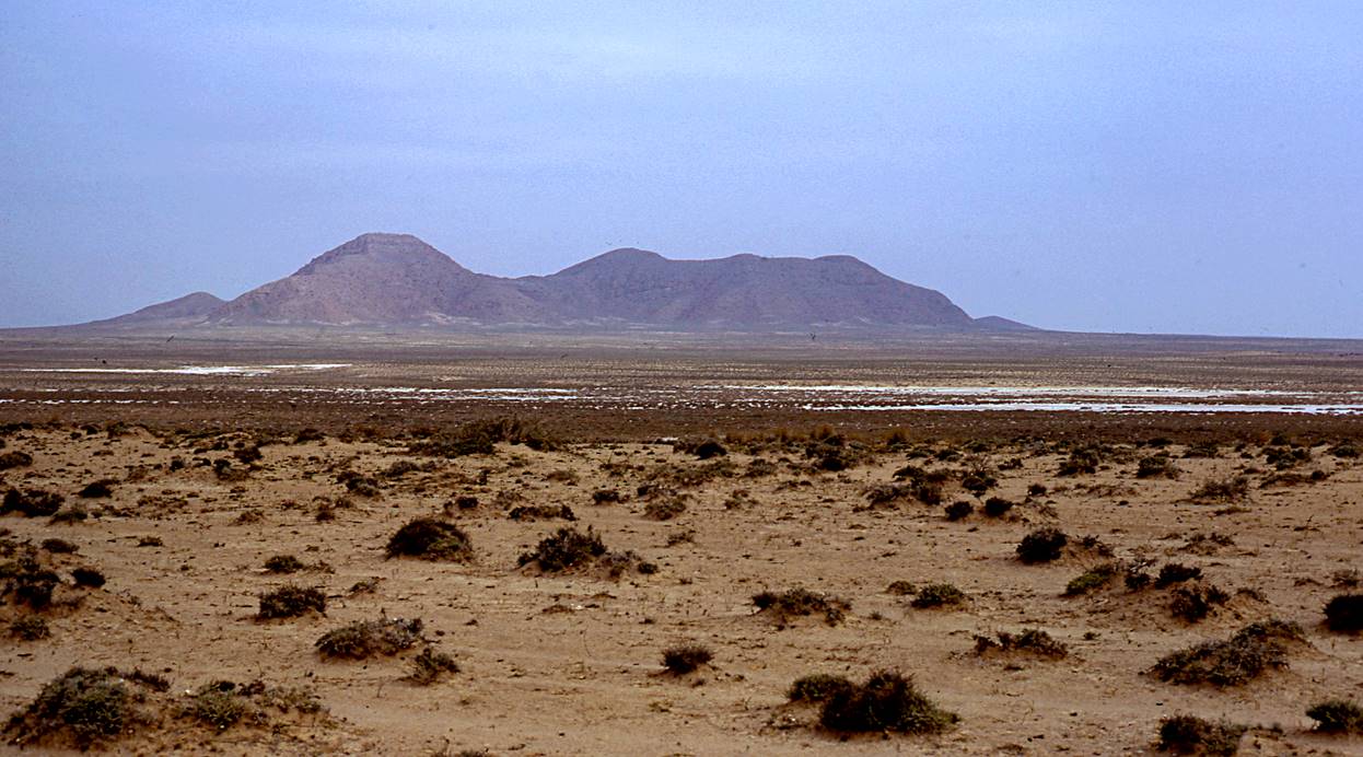
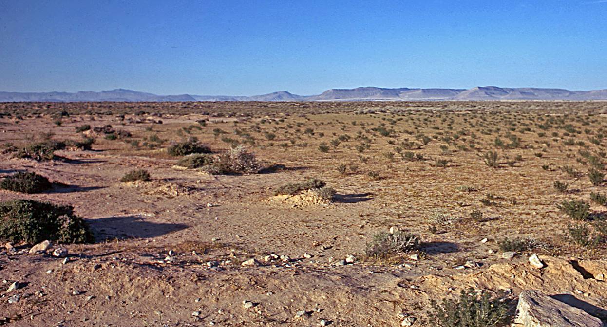
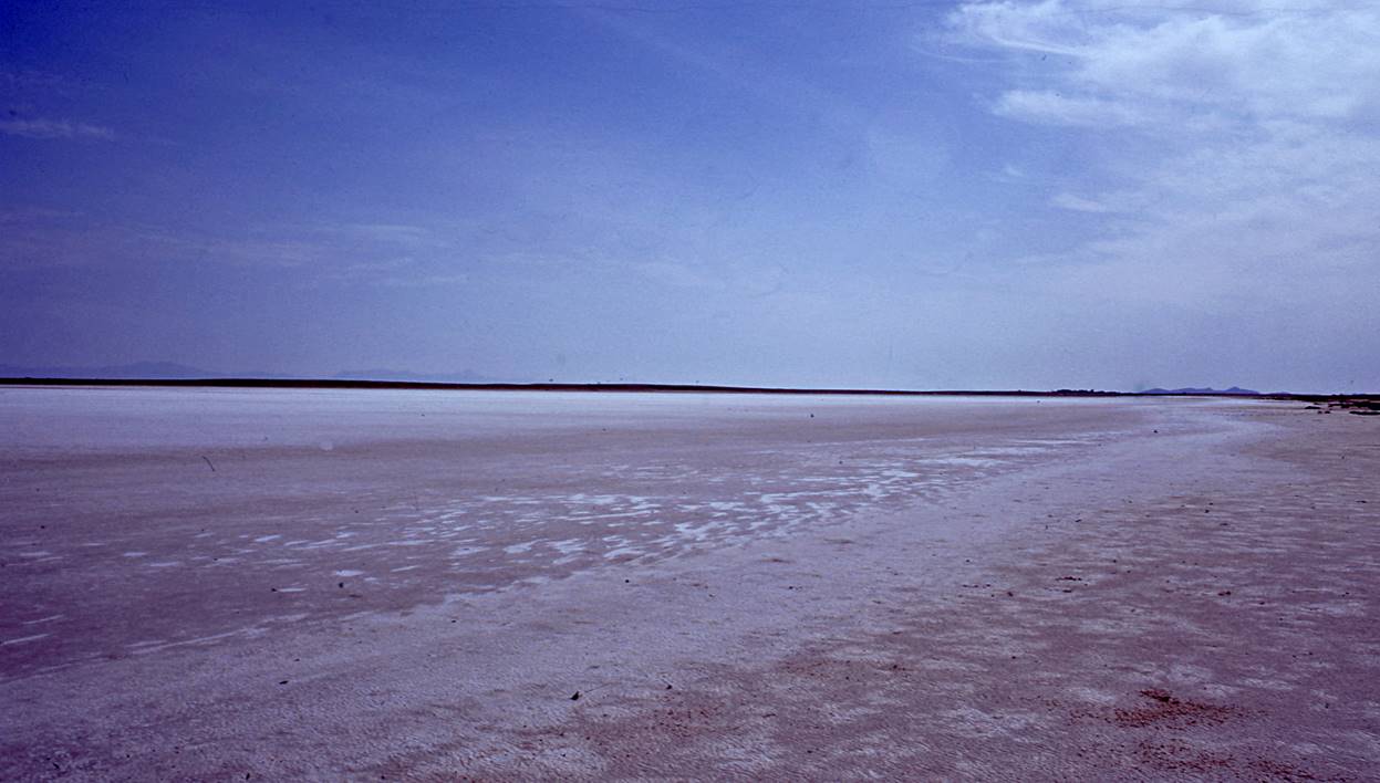
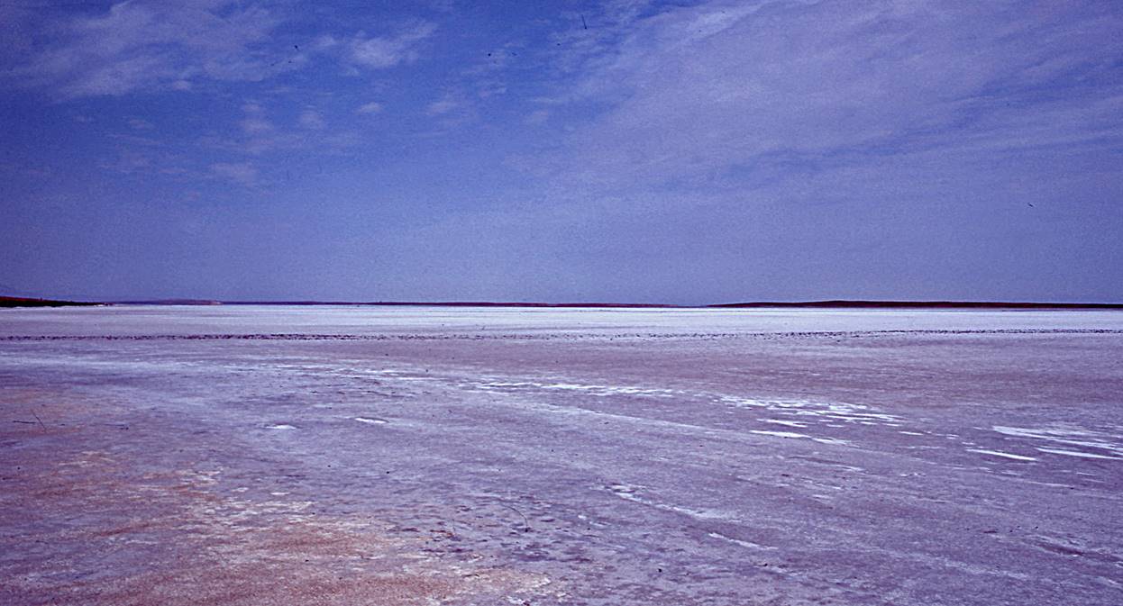
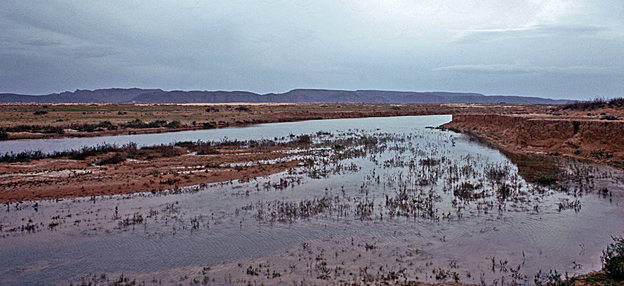
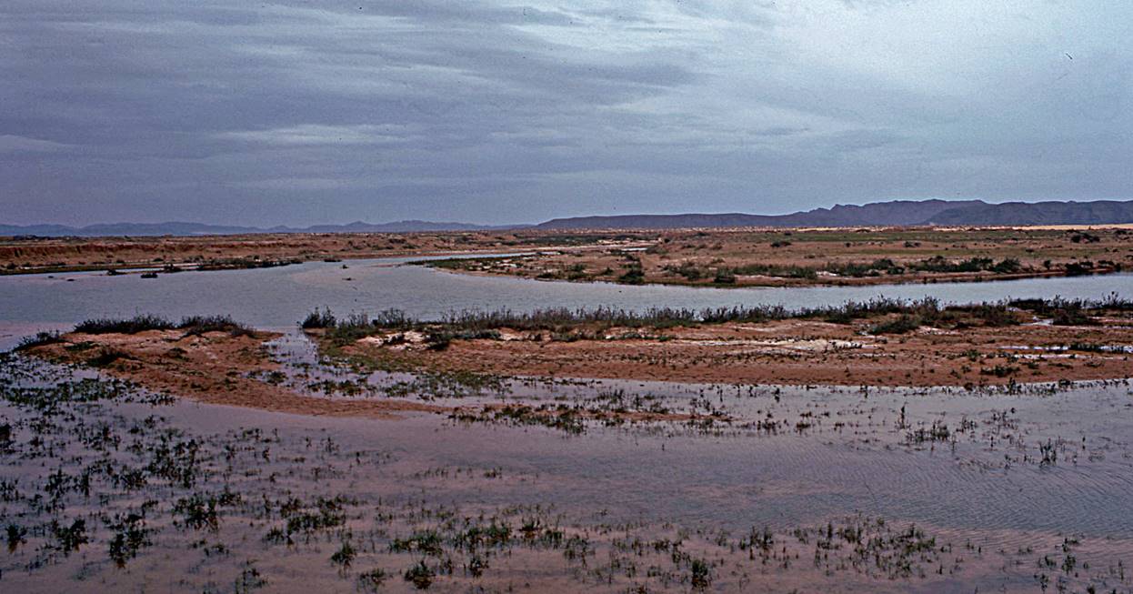
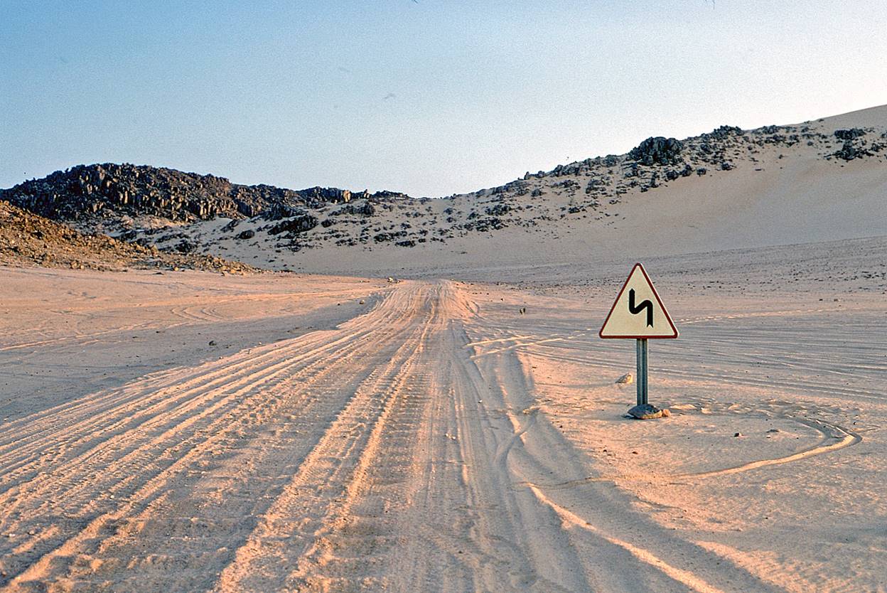
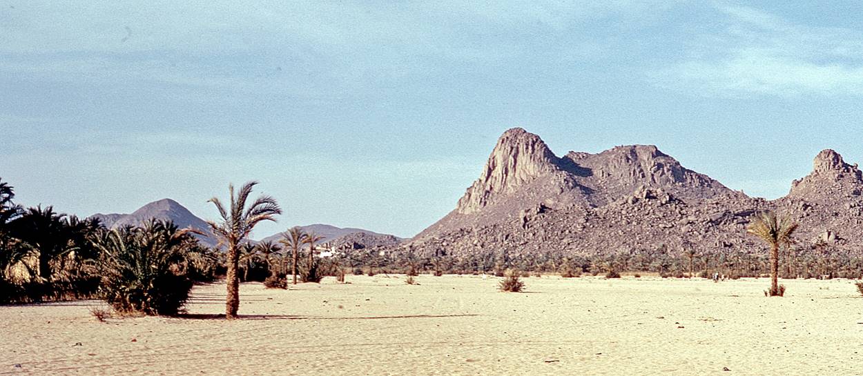
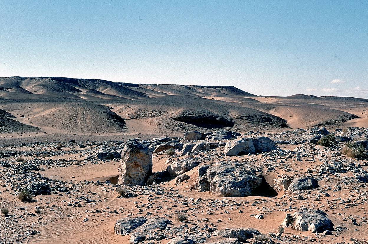
Chott el Hodna:
Most of this shallow
saline lake was dry when I trekked along its southern shore in April 1973. I
had picked this place as a kind of training ground prior to the much more
difficult trekking trip in the Danakil Depression that I had planned for the
summer 1973 (see here).
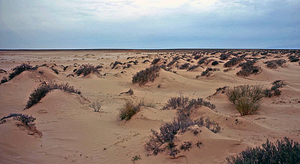
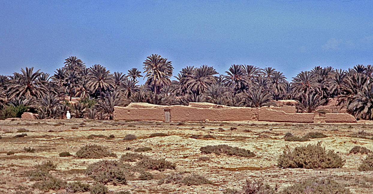
Landscapes along the Chott el Hodna.
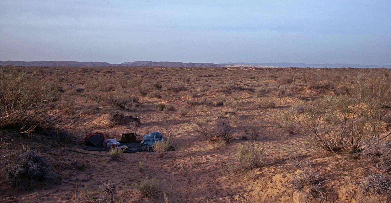
[One
of my camps during the trek.]
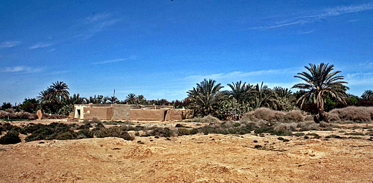
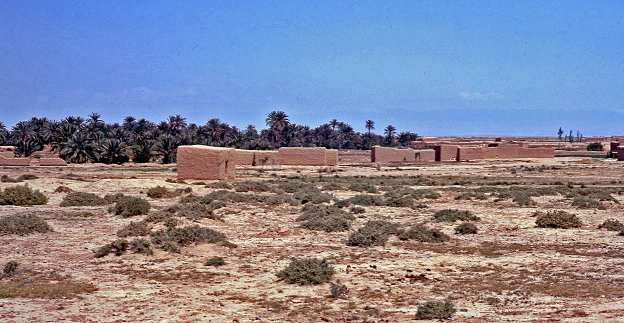
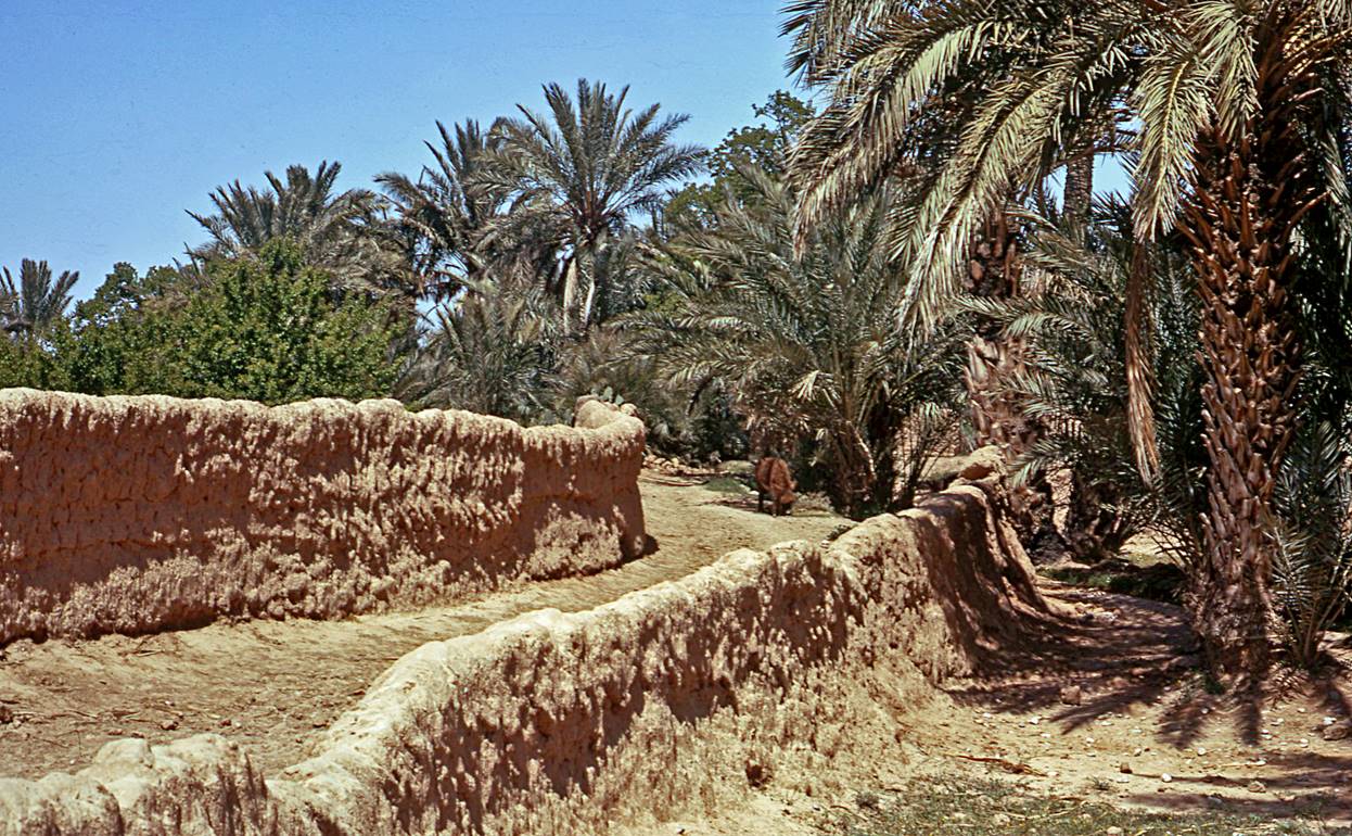
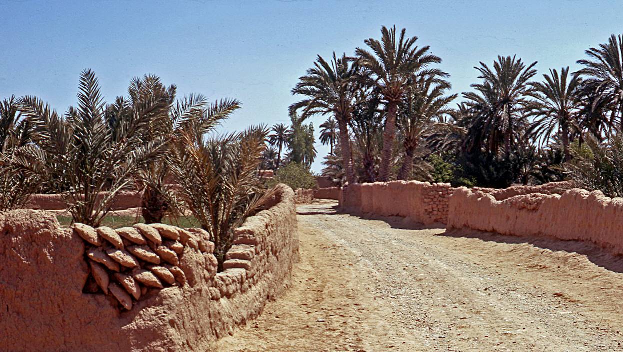
Hamlets and oases
south of Chott el Hodna.
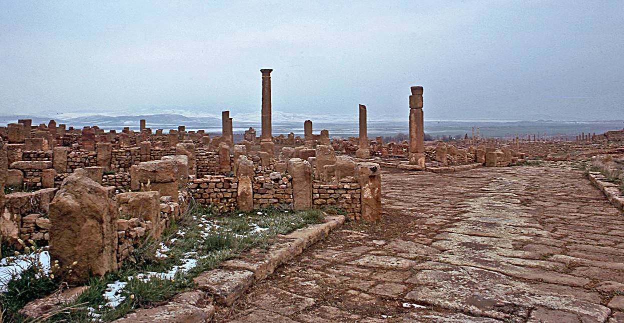
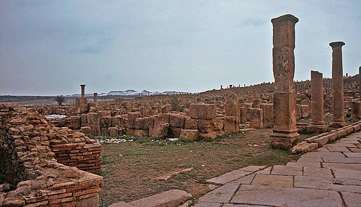
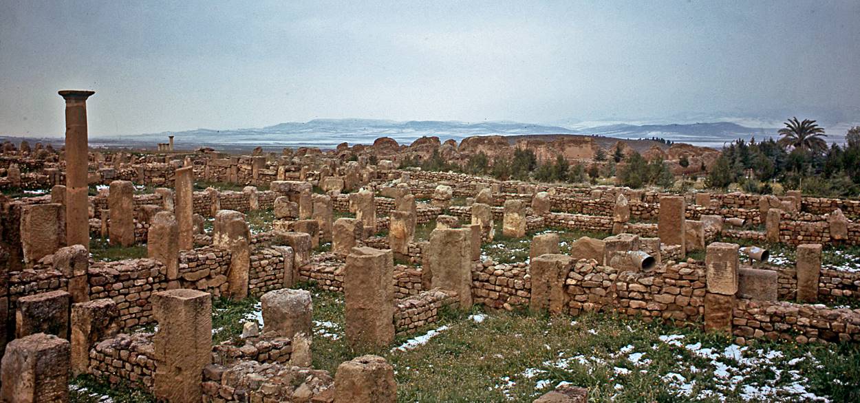
Timgad:
The Roman town of
Timgad was founded by Emperor Trajan around AD 100 and flourished until it was
sacked by the Vandals in the 5th century. It is located on the northern side of
the Aures mountains. During
my visit in April these mountains (visible in some of the photos below) were
still covered by snow. At an elevation of about 1000m Timgad was much colder
than the Chott el Hodna and
there were traces of snow in the ruins.
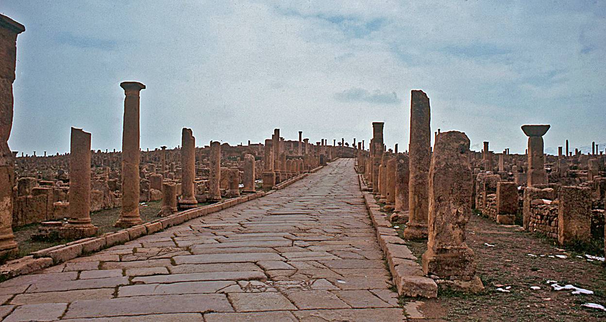
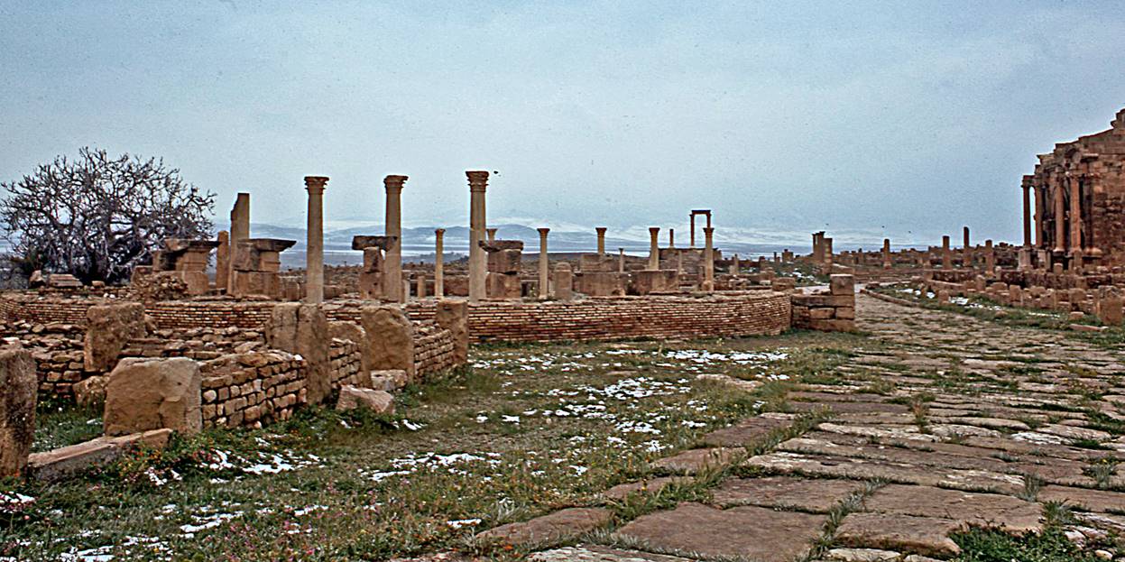
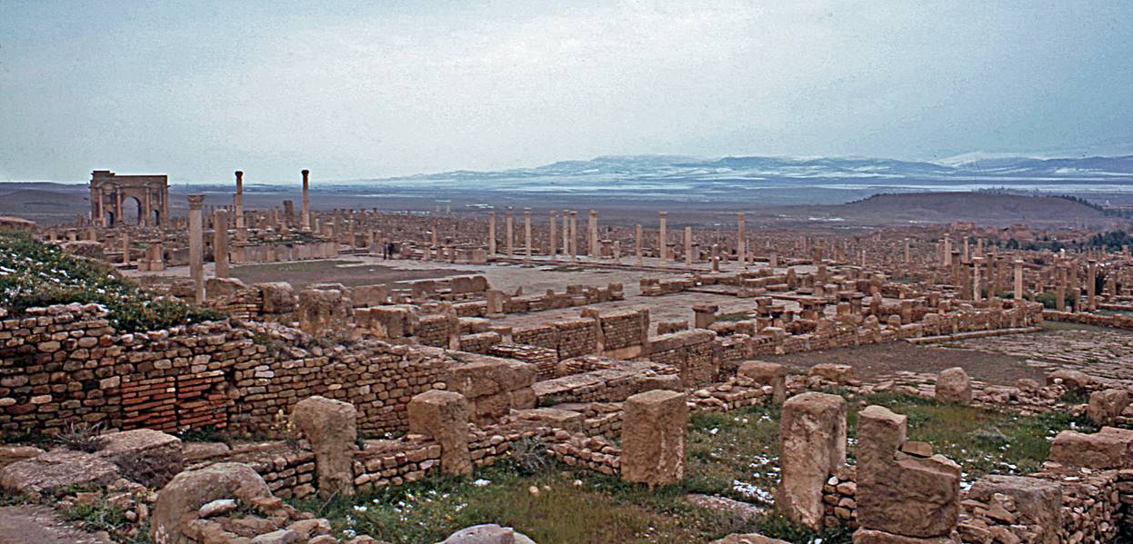
The
Trajan Arch and the Forum are visible in the above photo, respectively on the
left and on the center-left. The Aures mountains are visible in the background.
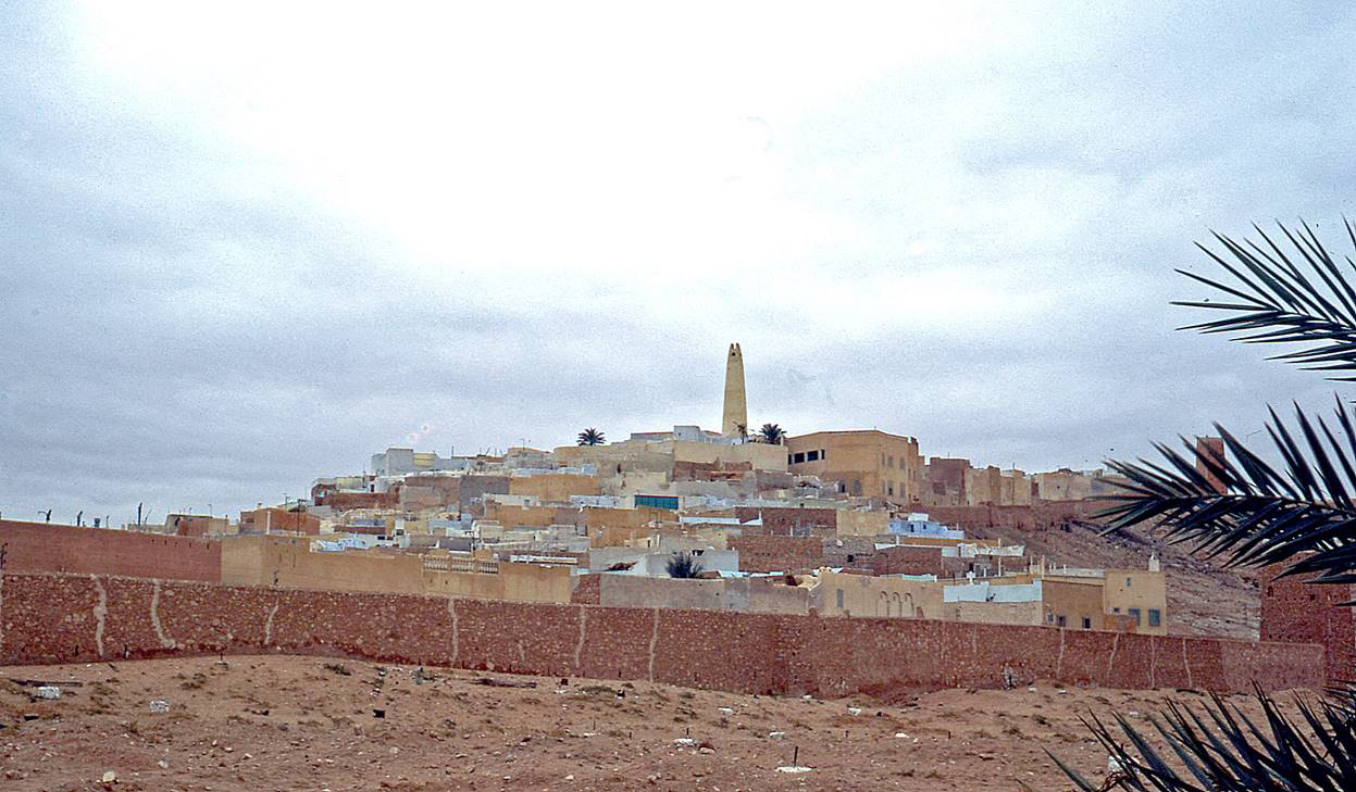
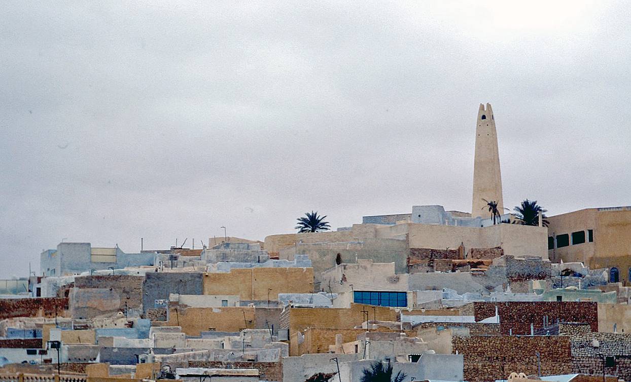
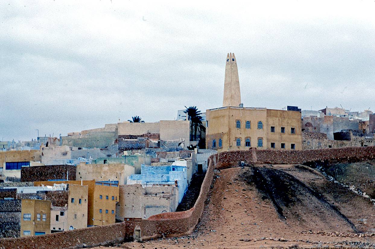
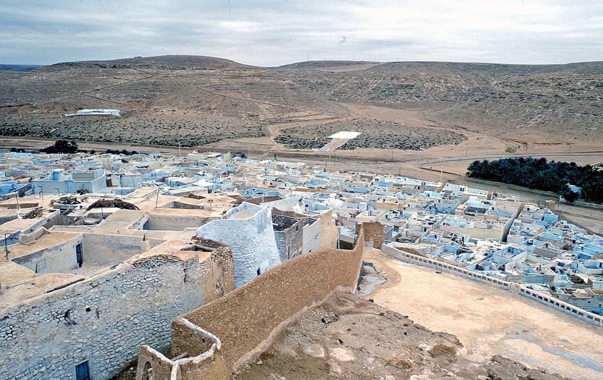
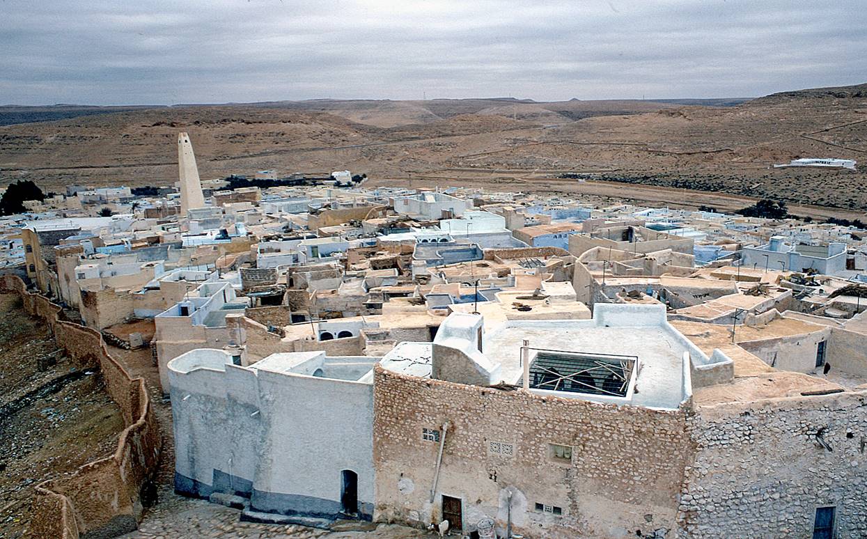
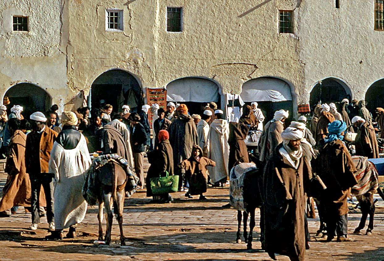
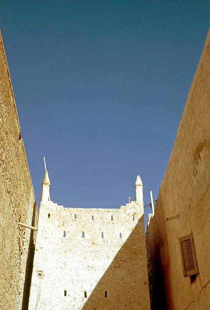
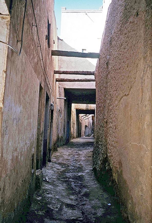
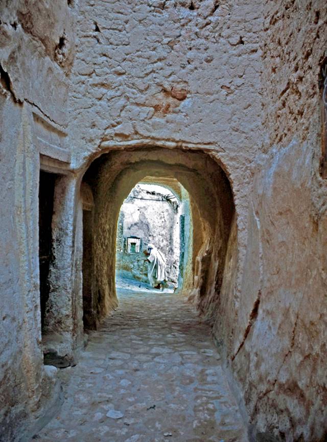
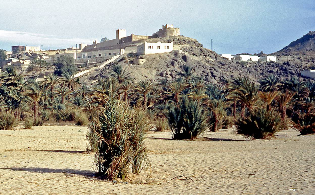
M′zab:
The M′zab is a
small region of the northern Sahara that is populated by Mozabites,
a Berber tribe. It consists of five walled towns, including Ghardaia
and Beni Isguen, the architecture
of which is particularly well adapted to the harsh environment.
Towns of M′zab.
Market square (Azghar Oughame) in Ghardaia.

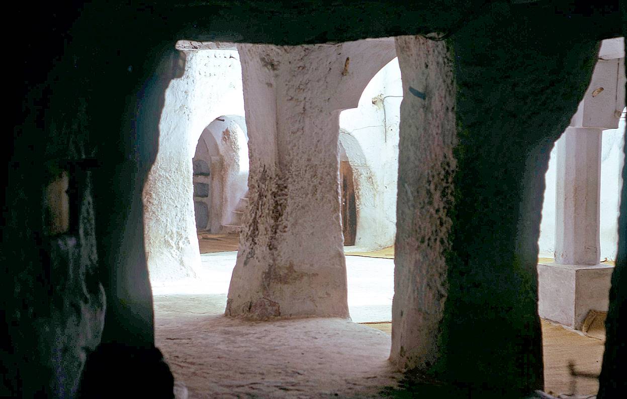
Inside a Ghardaia′s mosque.
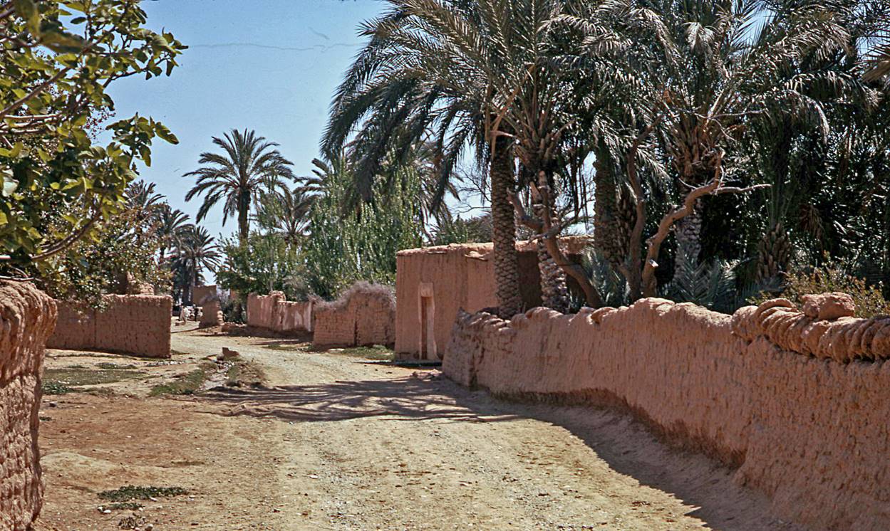
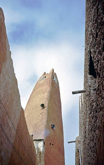
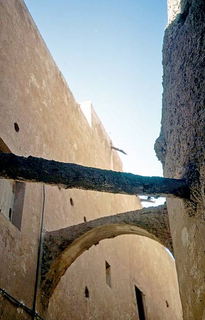
In the streets of Ghardaia
and Beni Isguen.
|
|
|
|
|
|
|
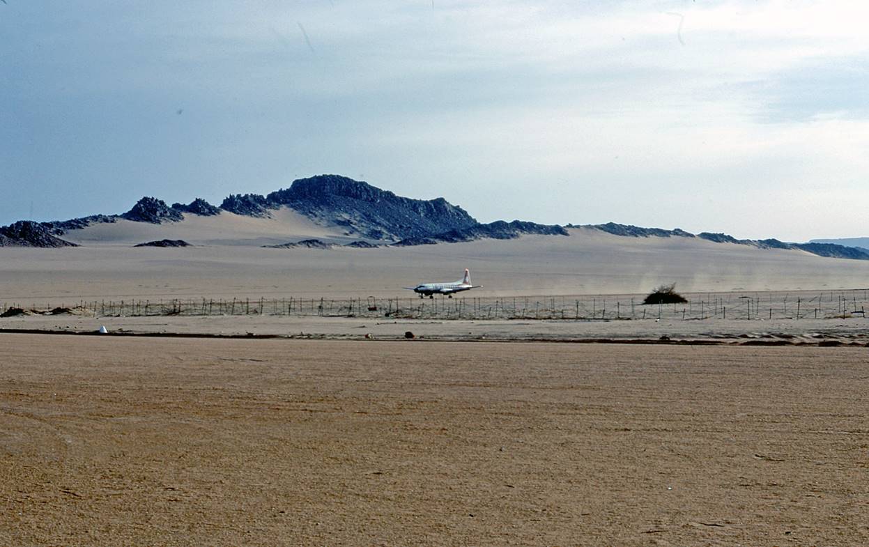
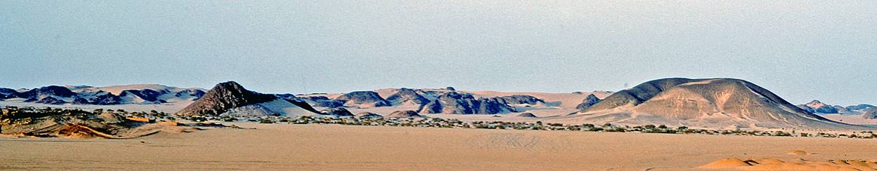
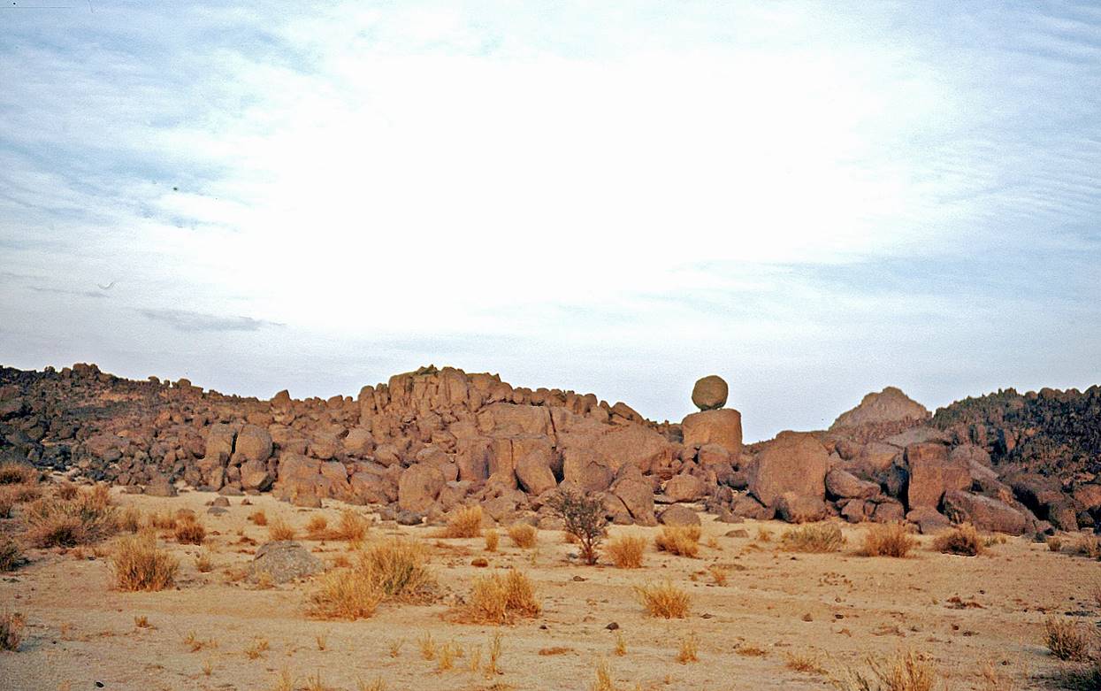
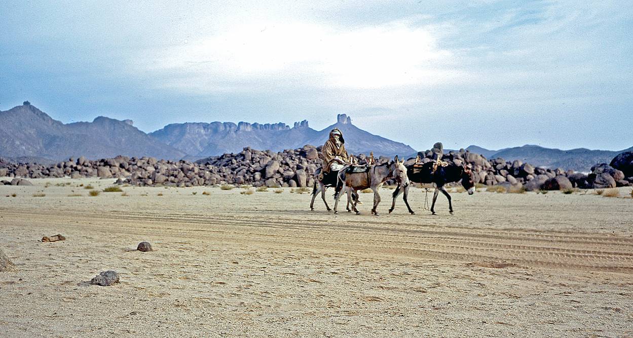
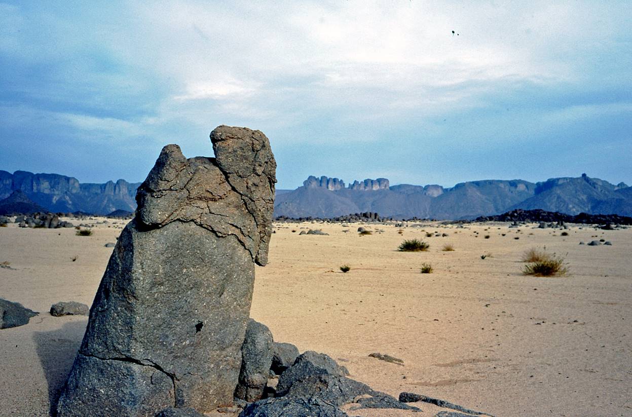
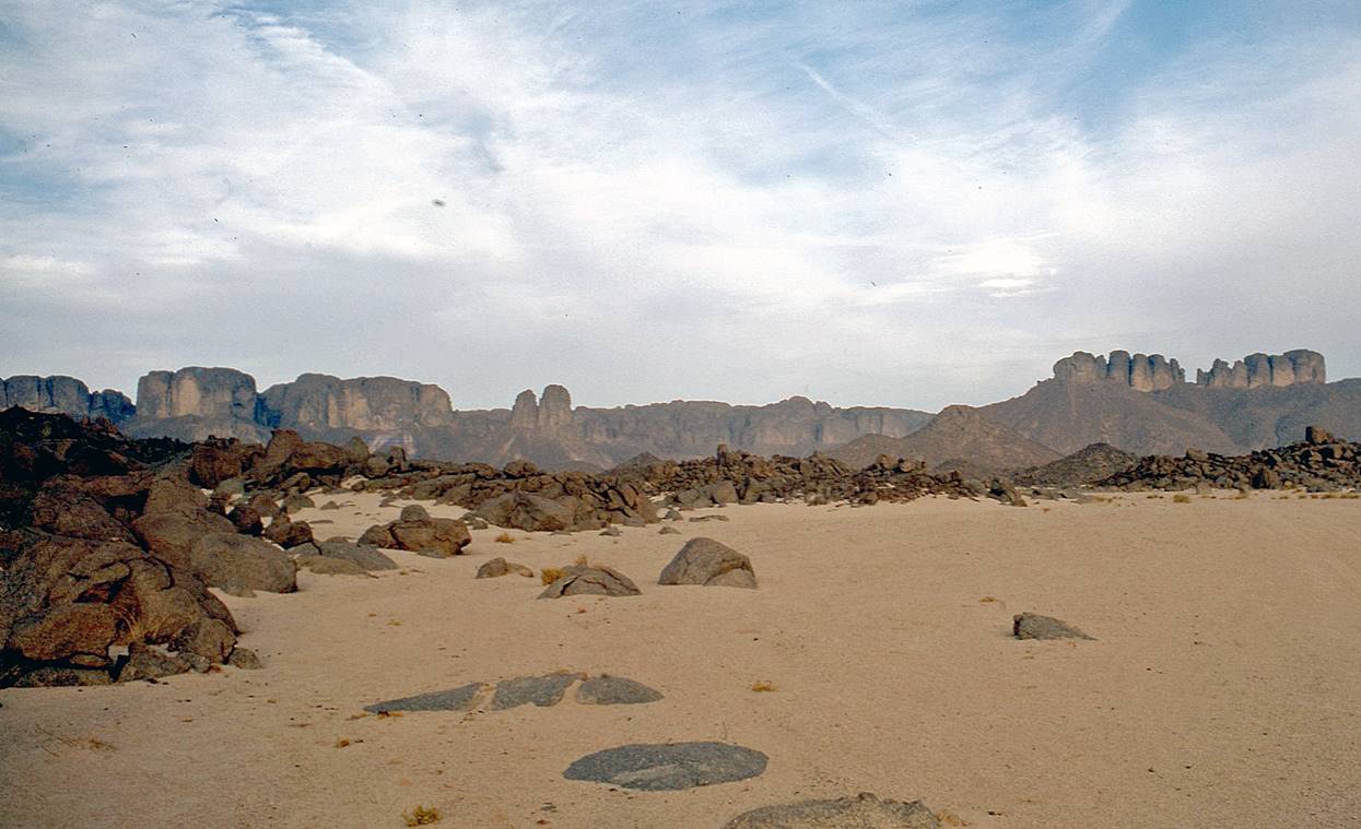
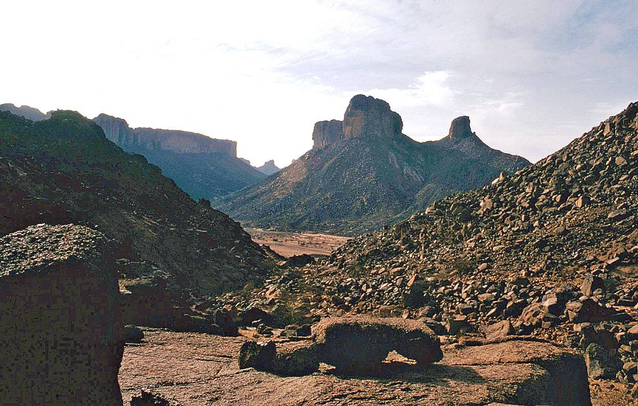
Tassili n′Ajjer:
Djanet′s airport.
Along the road
between the airport and Djanet.
Djanet.
Landscapes of Tassili n′Ajjer.
|
|