Trek around Djebel Toubkal (June 2003)

Return to my mountaineering/trekking/travel webpage


My daughter Laurence and I did a trek to and around Djebel Toubkal (4167m, the highest peak in Morocco) in June 2003. These are photos of this trek. The itinerary is covered by the 100K topographic map ″Oukaimeden″: click here to see the map.


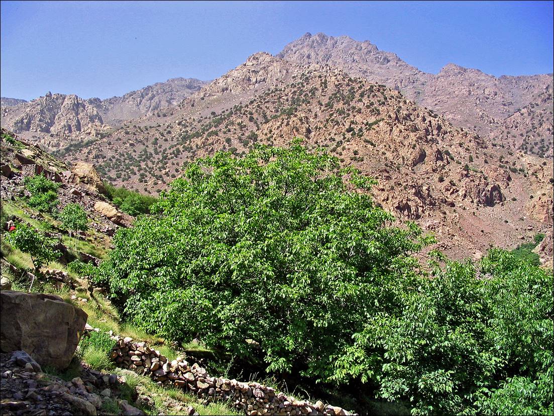
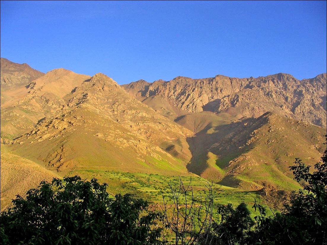
The trail above Imlil (start of the trek).

A mountain with trees in the background

Description automatically generated


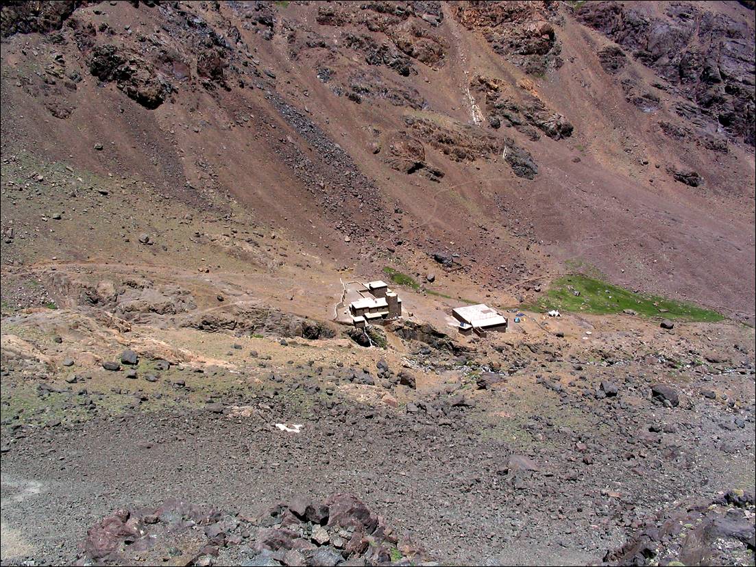
Reaching the Toubkal refuge.

A rocky mountain landscape with snow

Description automatically generated


A stone buildings in a mountain

Description automatically generated


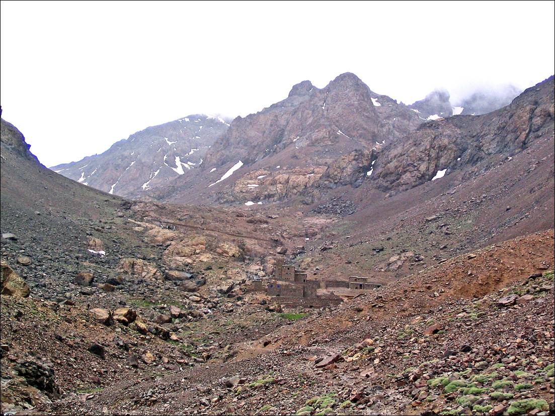
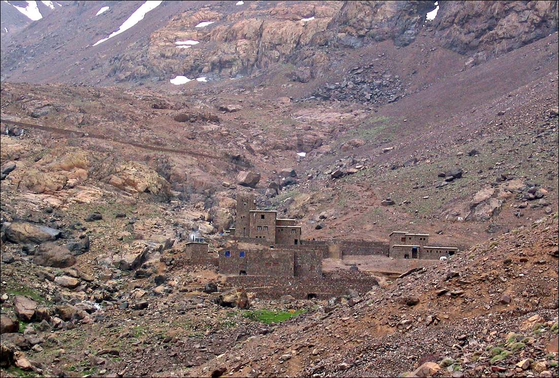
The refuge seen from above at the beginning of the ascent of Jebel Toubkal.

A rocky mountain with a building in the background

Description automatically generated with medium confidence


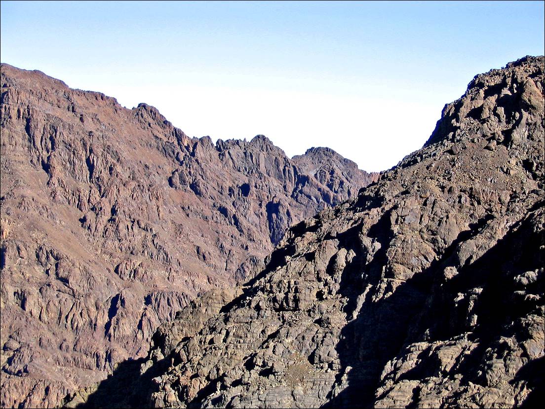
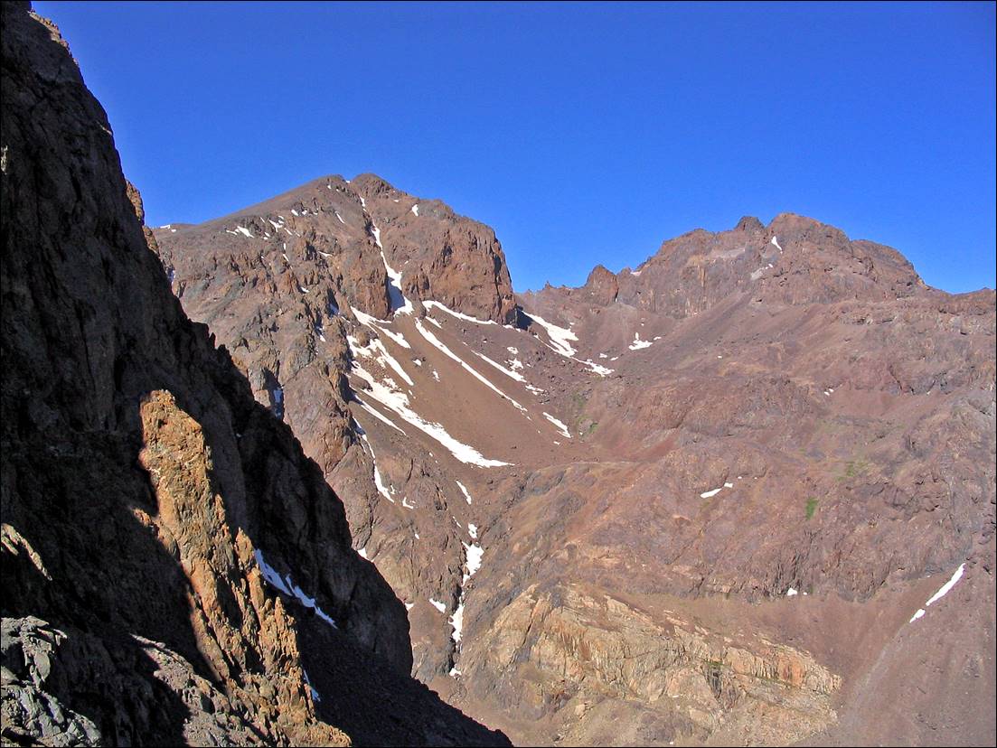
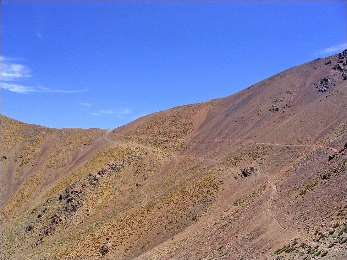
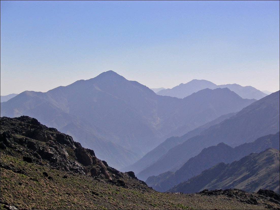
View of surrounding peaks during the ascent.
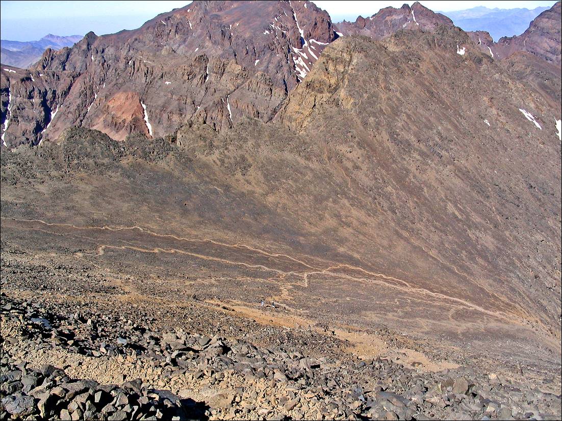
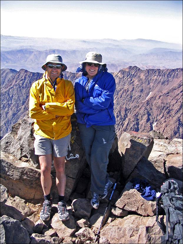
A close-up of a mountain

Description automatically generated


Left: trails in the scree below the summit. Right: at the summit of Jebel Toubkal (4167m).


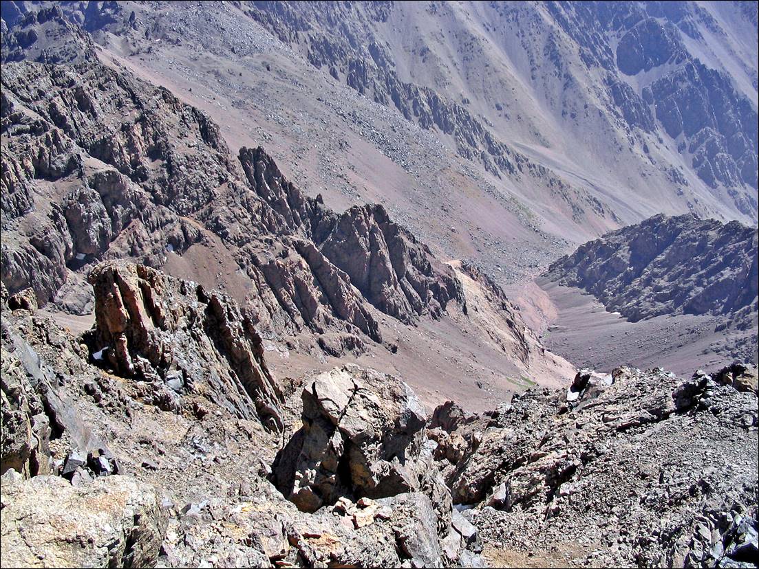
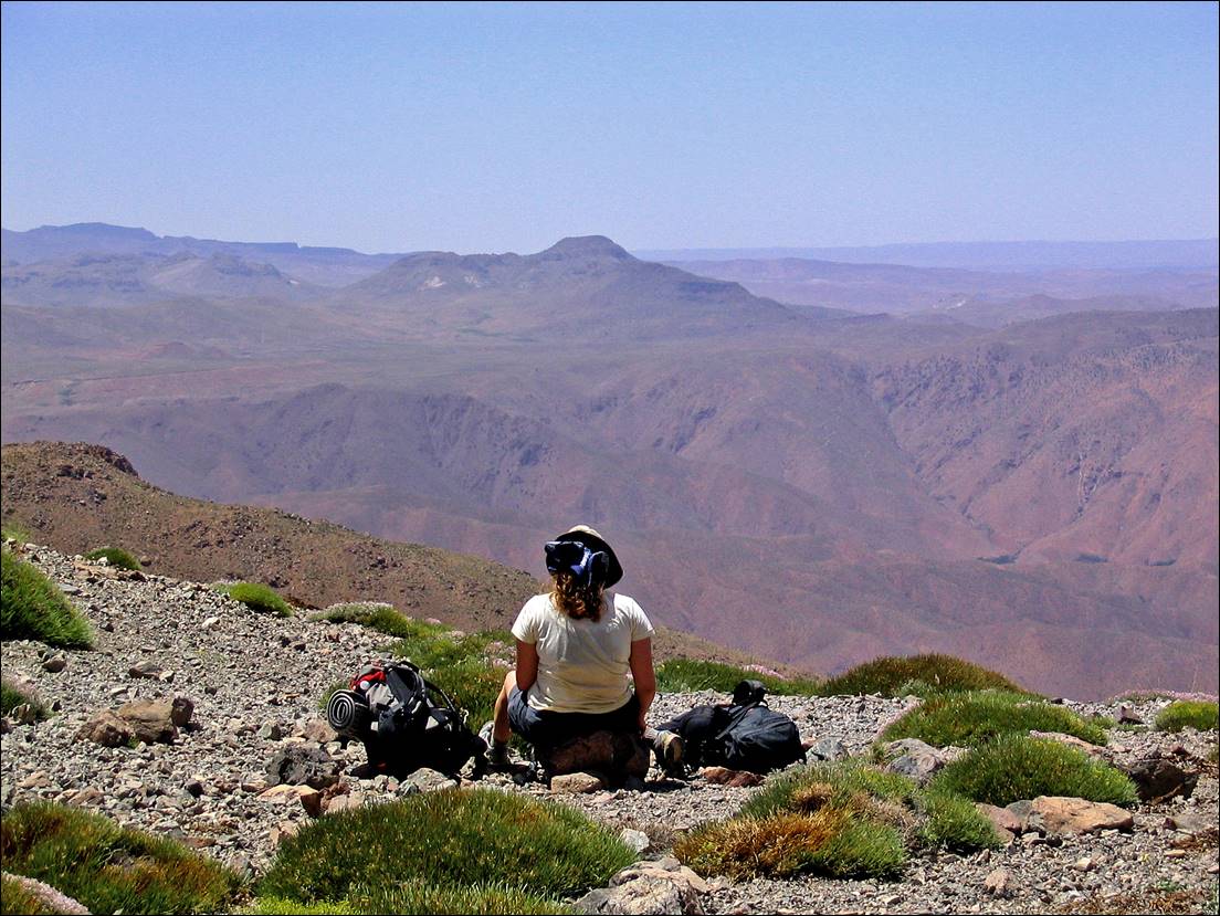
View (toward the east) from the summit.

A rocky mountain range with a valley

Description automatically generated with medium confidence


Jebel Ouanoukrim (4088m) seen during the ascent of Tizi-n-Ouanoums (pass).

A mountain range with snow on the top

Description automatically generated


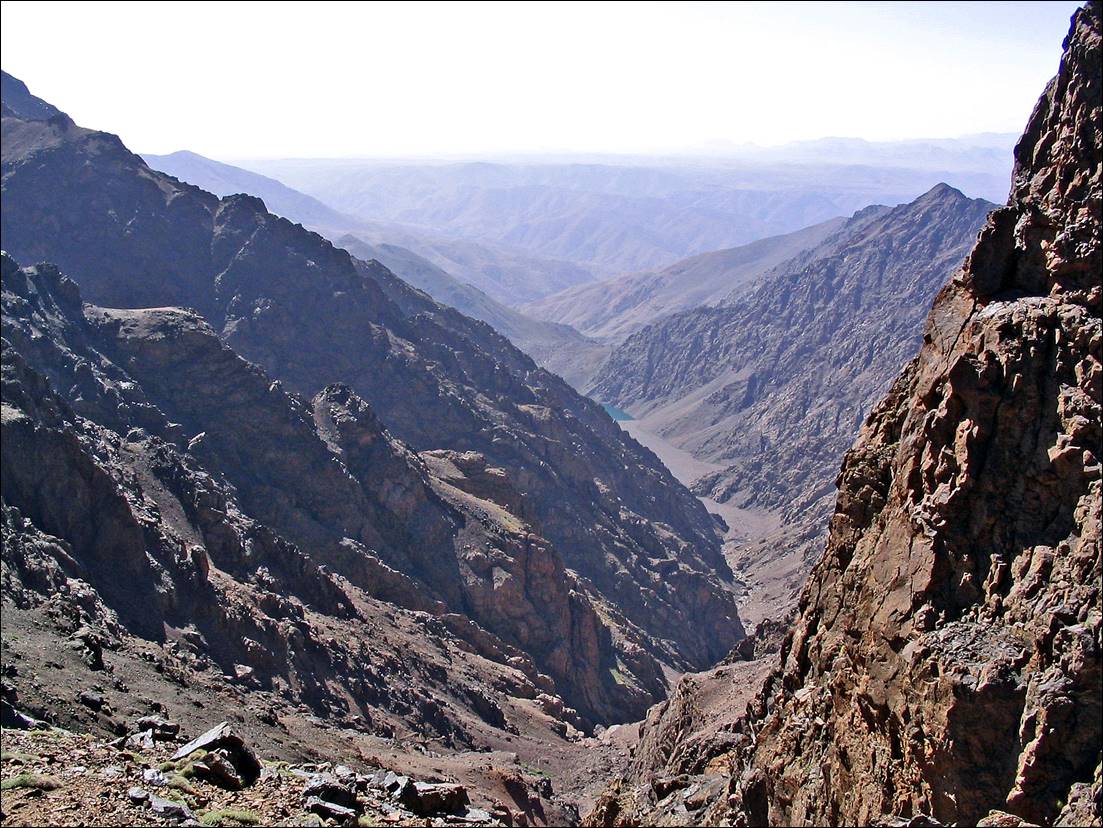
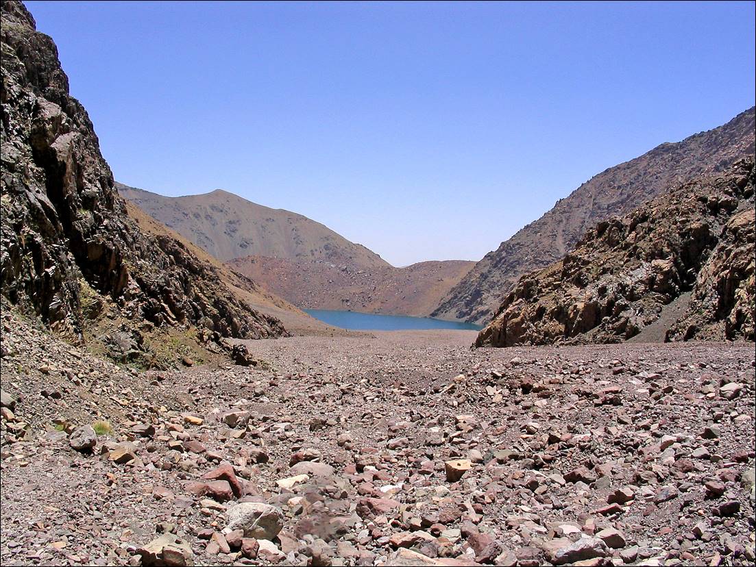
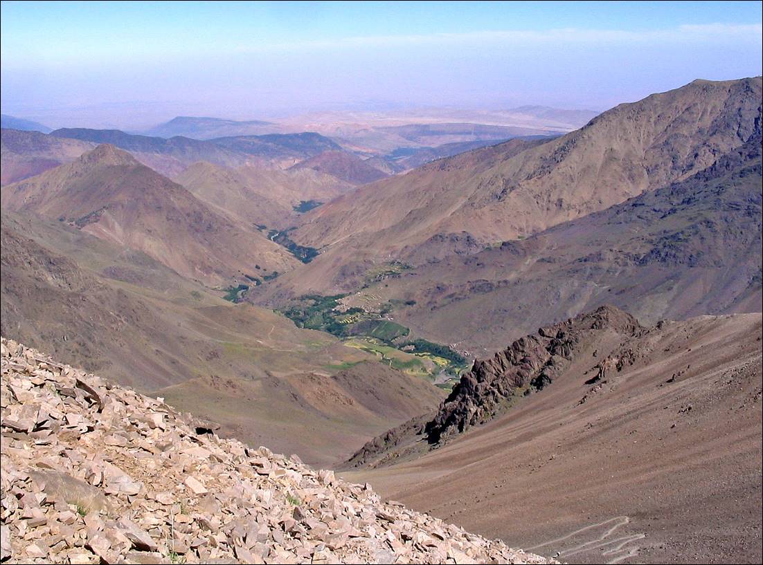
View from Tizi-n-Ouanoums, with lake Ifni (small blue patch) at the bottom.

A high angle view of a valley

Description automatically generated


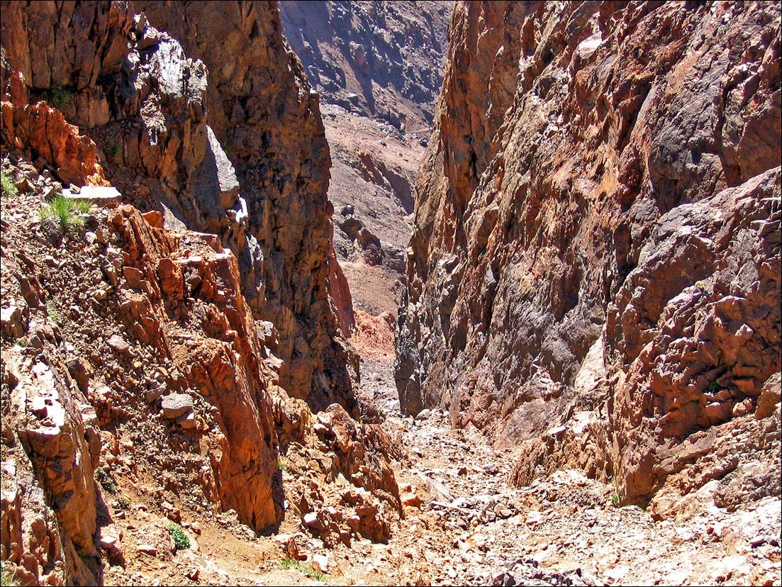
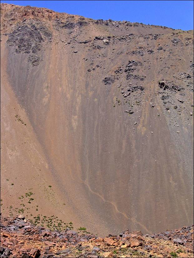
Narrow gully below Tizi-n-Ouanoums.

A rocky canyon with a narrow path

Description automatically generated


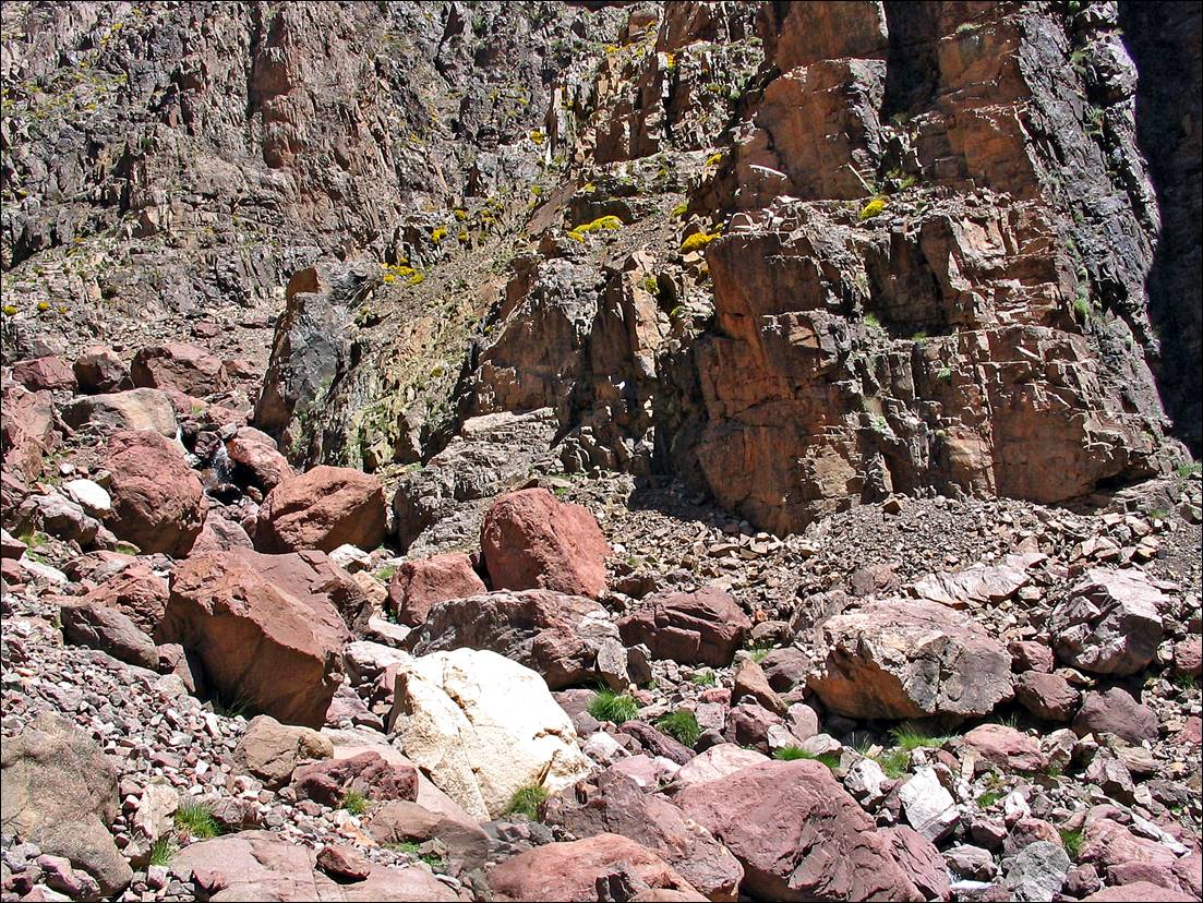
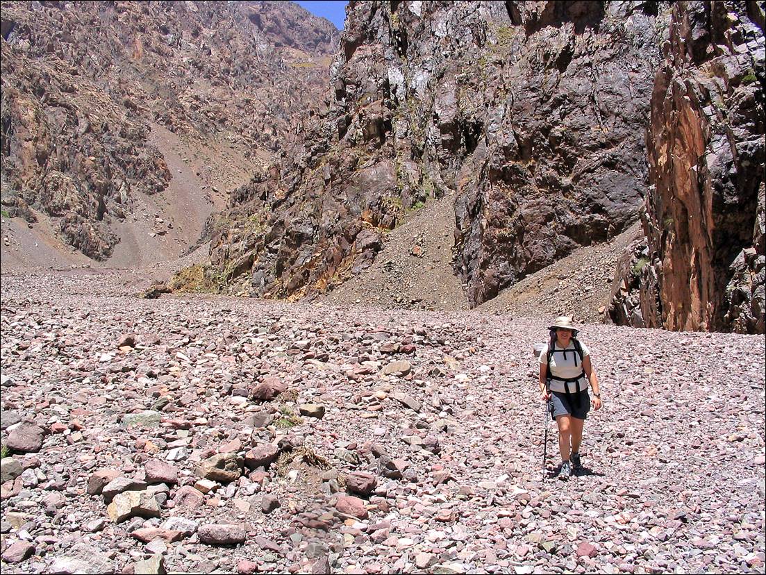
Midway during the descent toward lake Ifni.

A rocky mountain side with many rocks

Description automatically generated with medium confidence


Approaching lake Ifni.

A rocky area with a lake in the background

Description automatically generated


A person hiking in a rocky area

Description automatically generated


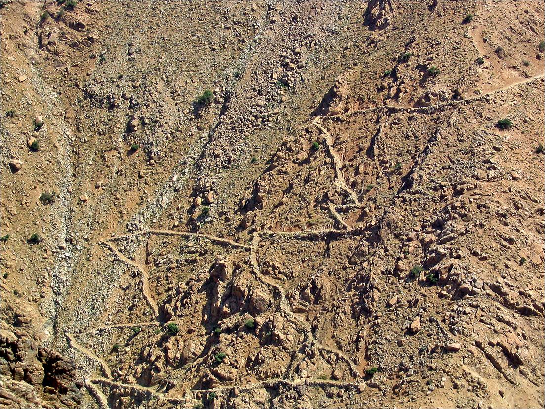
Left: lake Ifni. Right: steep scree on the side of the lake, with a daring goat track.


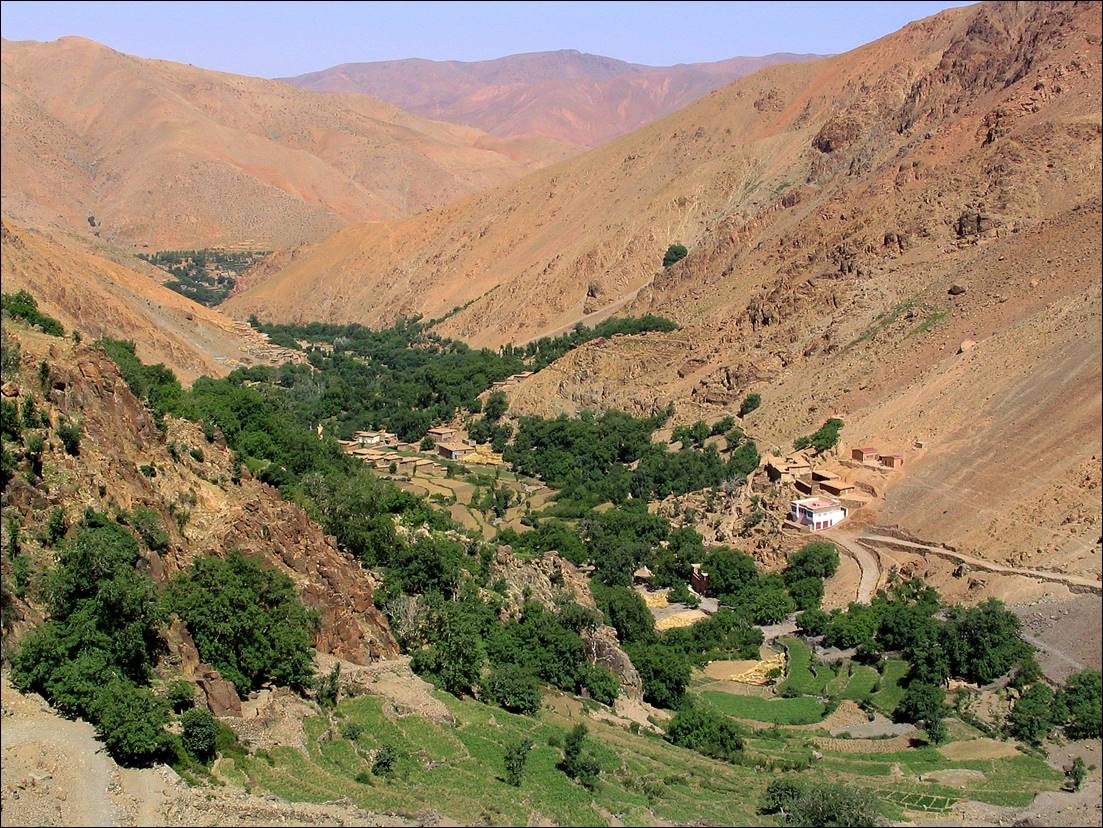
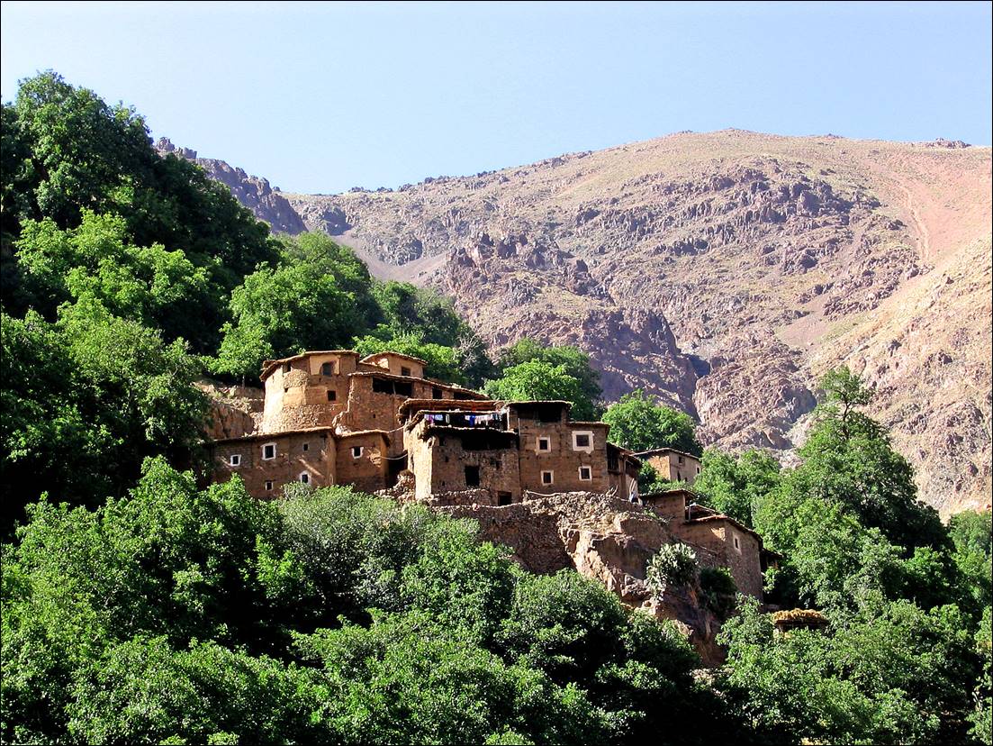
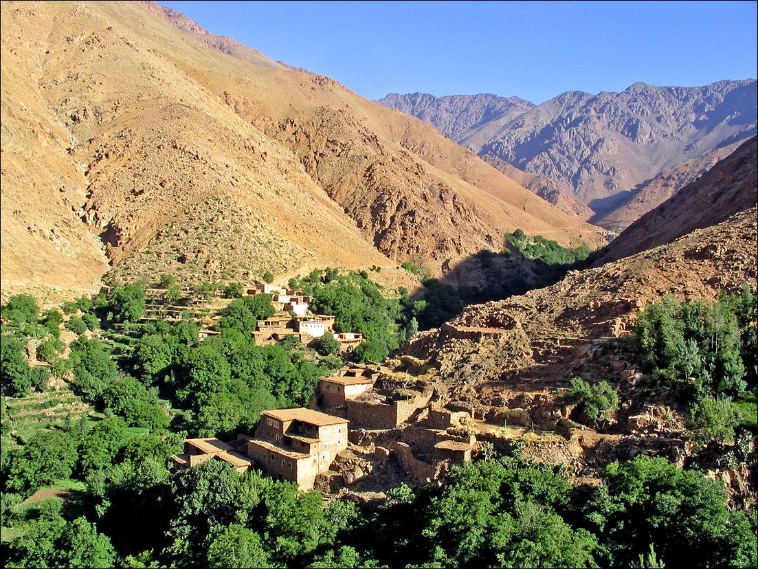
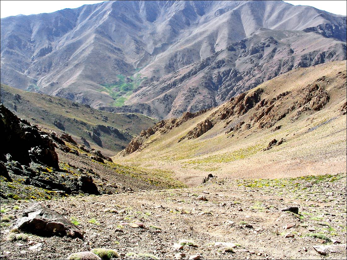
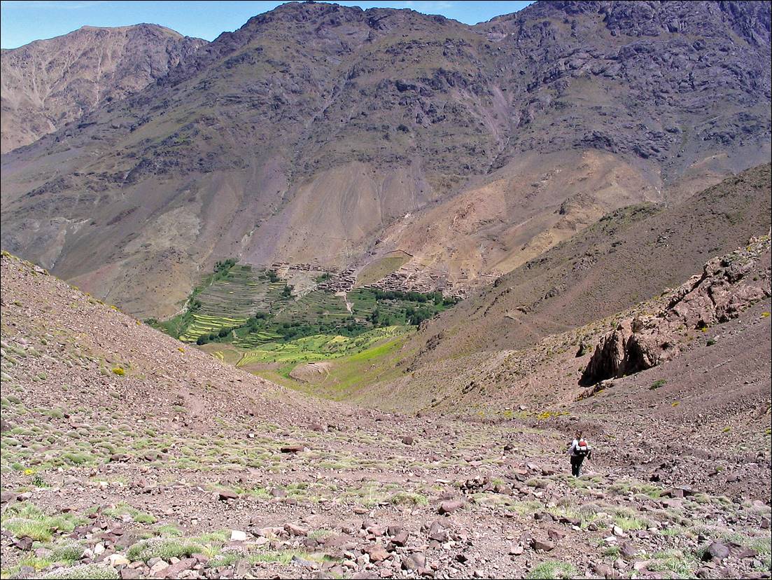
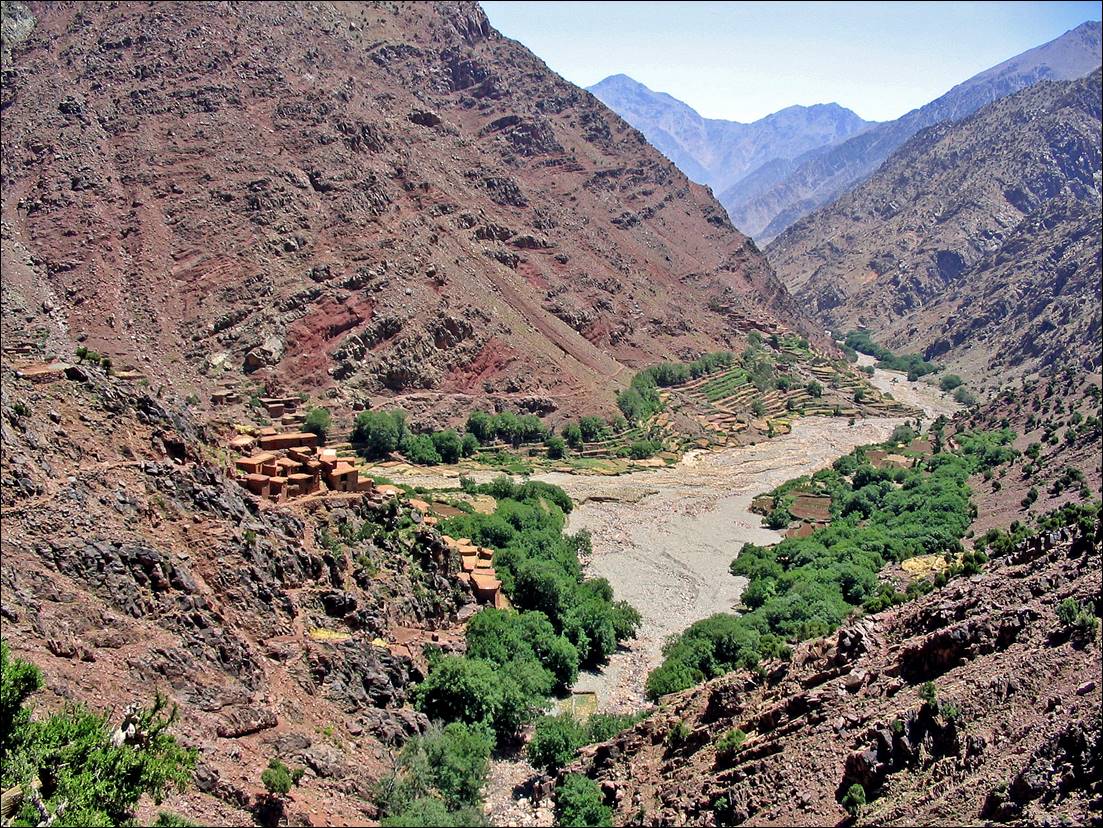
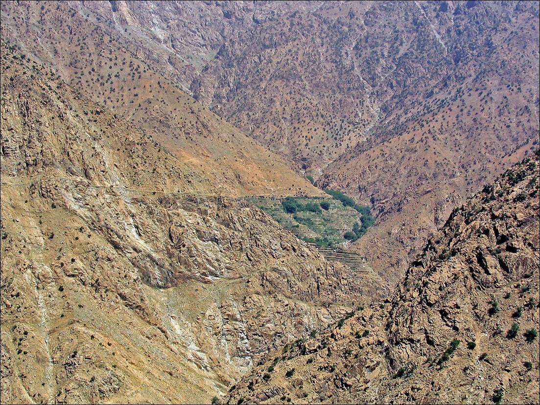
Village of Imhilene and its valley.

A valley with trees and mountains

Description automatically generated with medium confidence


A stone building on a hill

Description automatically generated


A village on a hill

Description automatically generated


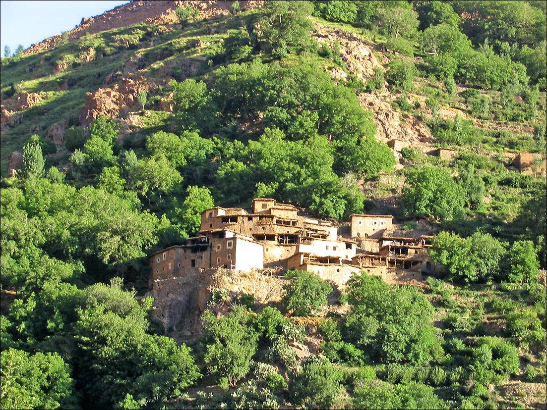
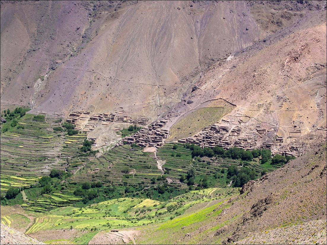
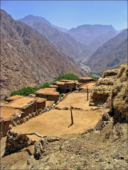
Village of Armsouzart. From there we climbed to Tizi-n-Ourai.

Atlas Mountains range with a village

Description automatically generated with medium confidence


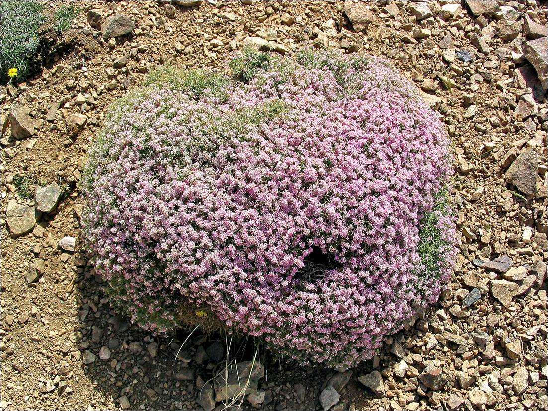
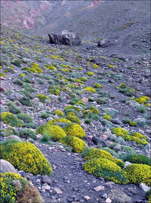
Flowers along the trail.

A close-up of a small bush

Description automatically generated


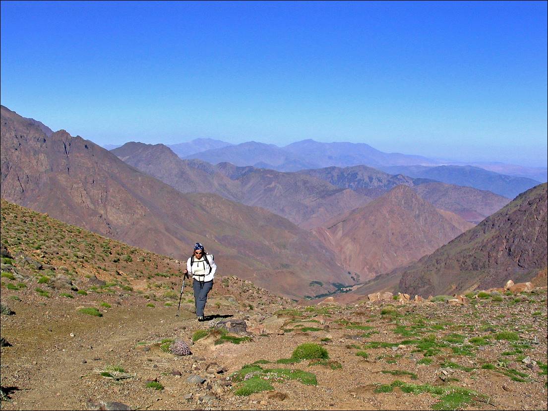
Laurence looking toward the south on our way up to Tizi-n-Ourai.

A person sitting on a rocky hill

Description automatically generated


Reaching Tizi-n-Ourai.

A mountain with a trail

Description automatically generated


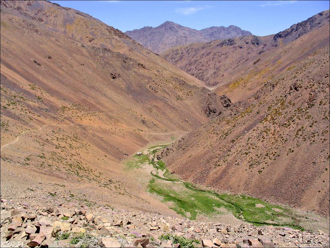
View toward the north from Tizi-n-Ourai, on our way to Azib Likemt. Note the small nomad camp (white tent) near Assif Tinzart (river).

A valley with a river in the middle

Description automatically generated


Azib Likemt.

A landscape with a hill and a hill

Description automatically generated with medium confidence


A close-up of a mountain

Description automatically generated


View during the ascent of Tizi-n-Likemt.

A rocky mountain landscape with a valley

Description automatically generated with medium confidence


Views from Tizi-n-Likemt toward the valley of Tacheddirt.

A view of a valley between mountains

Description automatically generated


During the descent from Tizi-n-Likemt toward Tacheddirt.

A person standing in a rocky area

Description automatically generated


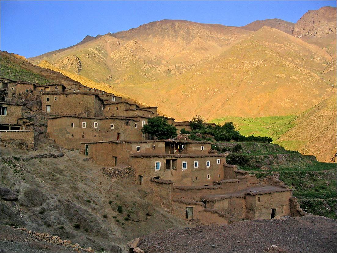
Village of Tacheddirt.

A high angle view of a mountain

Description automatically generated


A village on a hill

Description automatically generated


Late afternoon view of Djebel Aksouat from Tacheddirt.

A mountain range with a blue sky

Description automatically generated


Left: ground covered with yellow flowers at the start of our early morning ascent of Tizi-n-Tacheddirt. Right: reaching Tizi-n-Tacheddirt.


Starting our descent from Tizi-n-Tacheddirt toward the valley of Oued Ourika.

A mountain range with blue sky

Description automatically generated


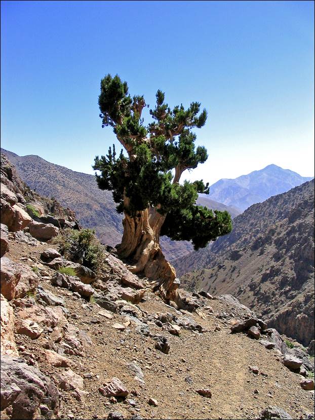
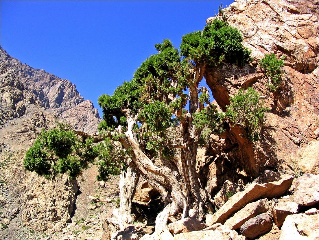
Juniperus along the trail.
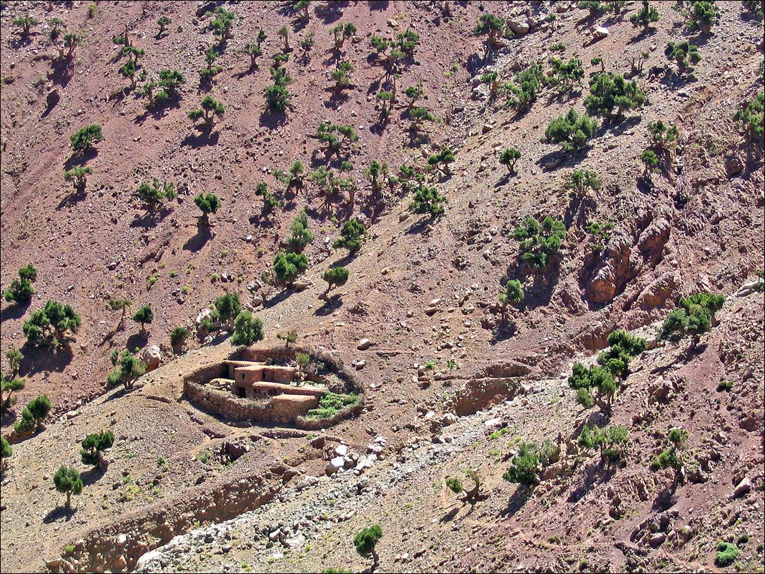


Local farm.

A small house in a rocky mountain

Description automatically generated with medium confidence


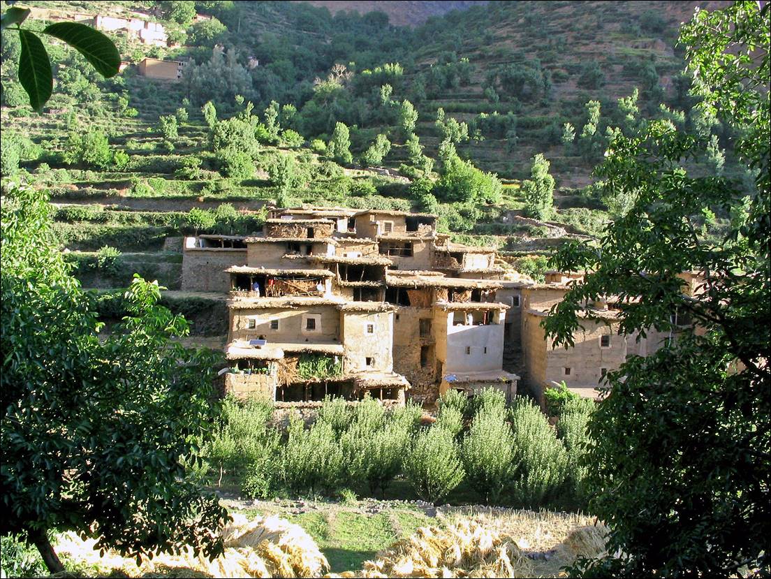
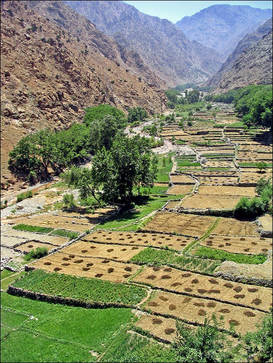
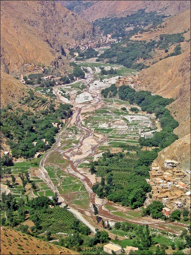
Village of Ibassene.

A village on a mountain

Description automatically generated


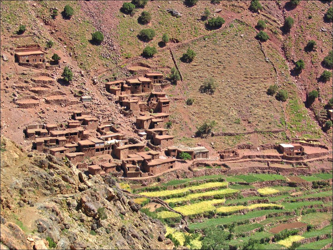
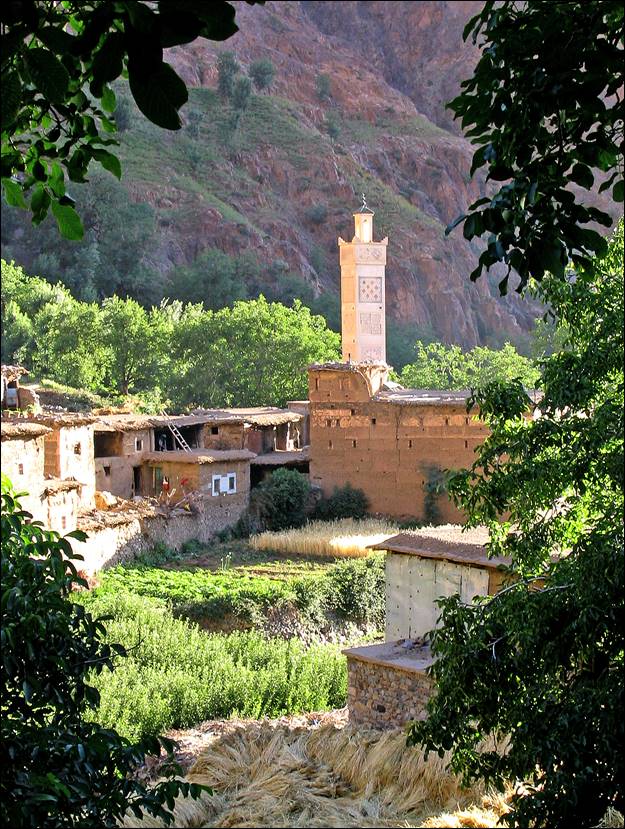
Village of Timichchi, where we reached Oued Ourika.

A valley with a river in the middle of the mountains

Description automatically generated


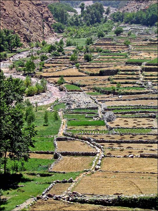
Small village and fields further down in the valley of Oued Ourika.


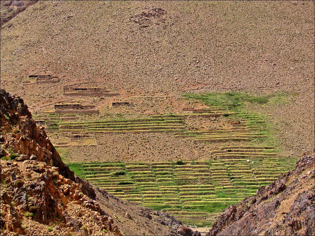
Green terraces of the village of Tamatert, seen from our trail (first photo below) and beginning of the trail above Oued Ourika to reach this village (second photo).

A high angle view of a valley

Description automatically generated


A close-up of a rocky hill

Description automatically generated


Left: reaching the village of Setti Fadma on Oued Ourika (end of our trek). Right: Laurence′s hand after a visit to a henna lady on the Jemaa el-Fna square in Marrakesh.


Return to my mountaineering/trekking/travel webpage