Tabant-Mgoun-Imejdag-Taghia-Oussikis (June 15-21, 2008): 1.
From Tabant to the Cirque of Taghia
![]()
Return
to main tabant-mgoun-imejdag-taghia-oussikis webpage
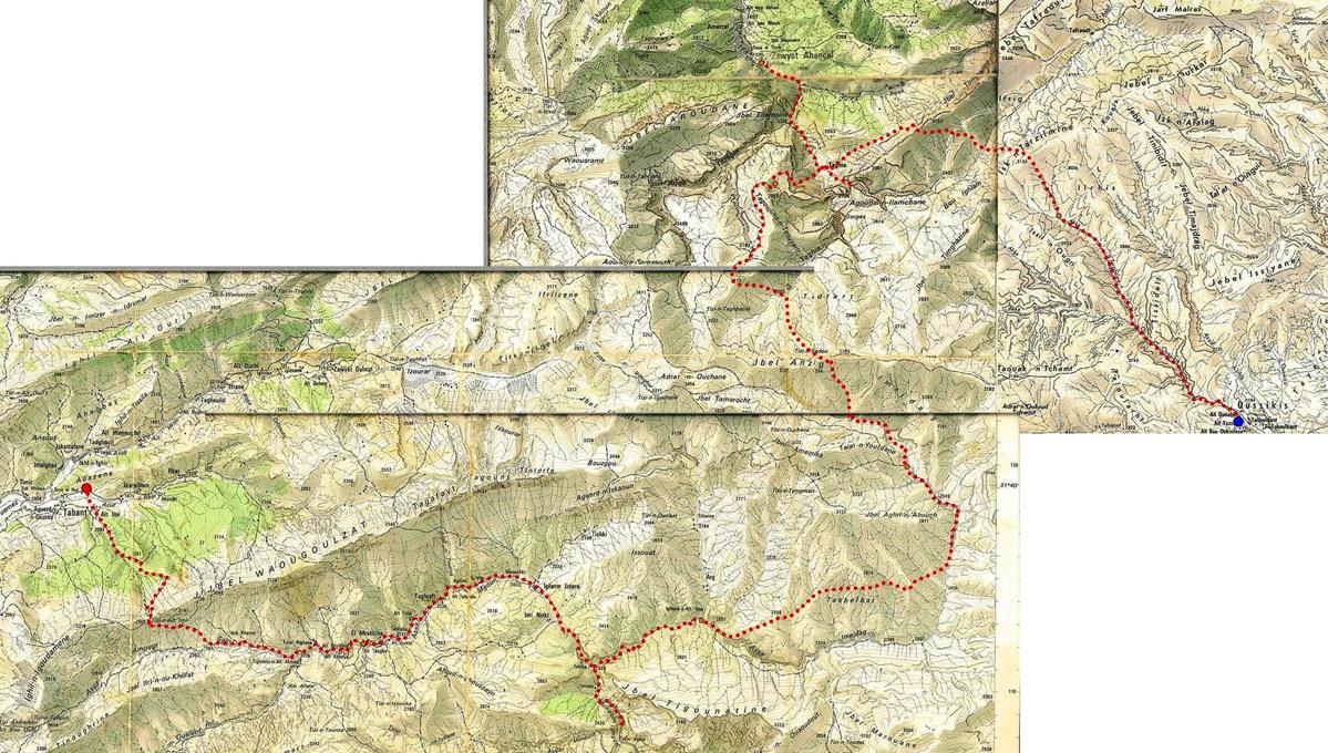
Click here for a high-resolution topographic map.
June 15: Tabant to El-Mrabitine via Tizi-n-Ait Imi
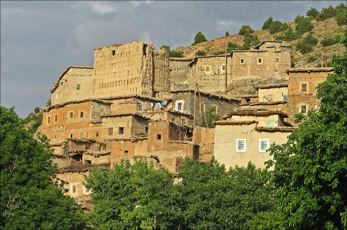
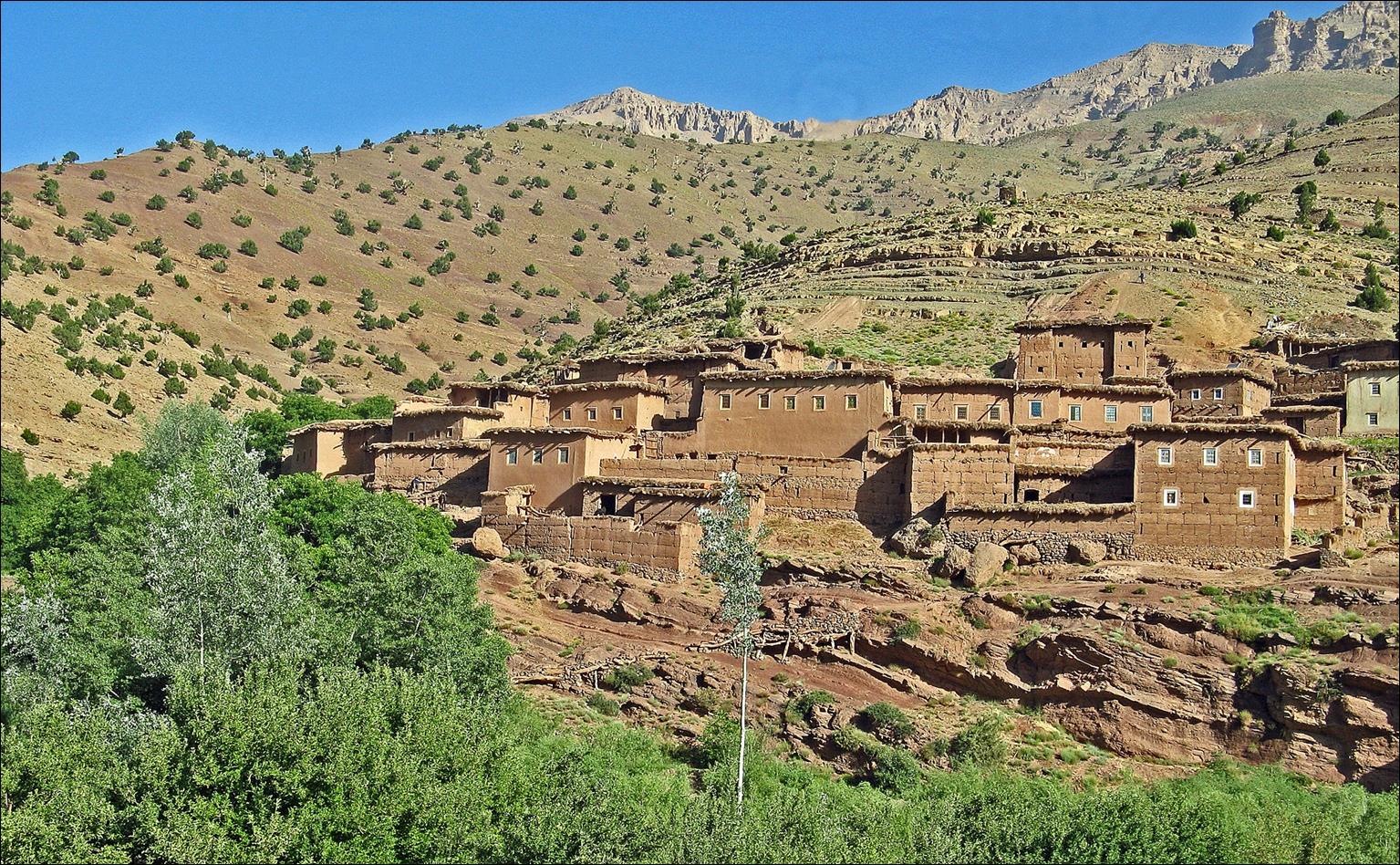
Village of Ait Imi seen from Tabant. In the first photo below Tizi-n-Ait-Imi (pass) and the path to it are visible in the
background.
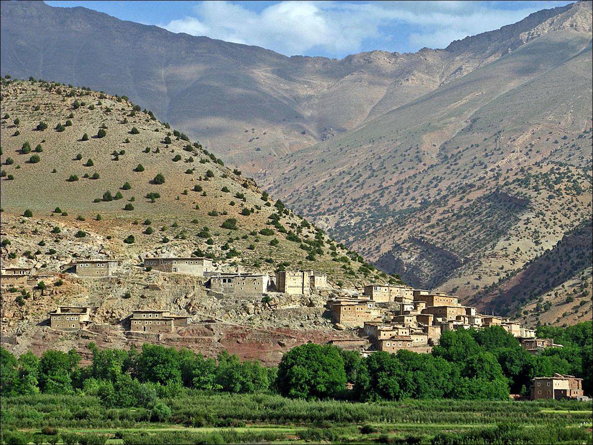

Old granaries in Ait Imi.
|
|
|

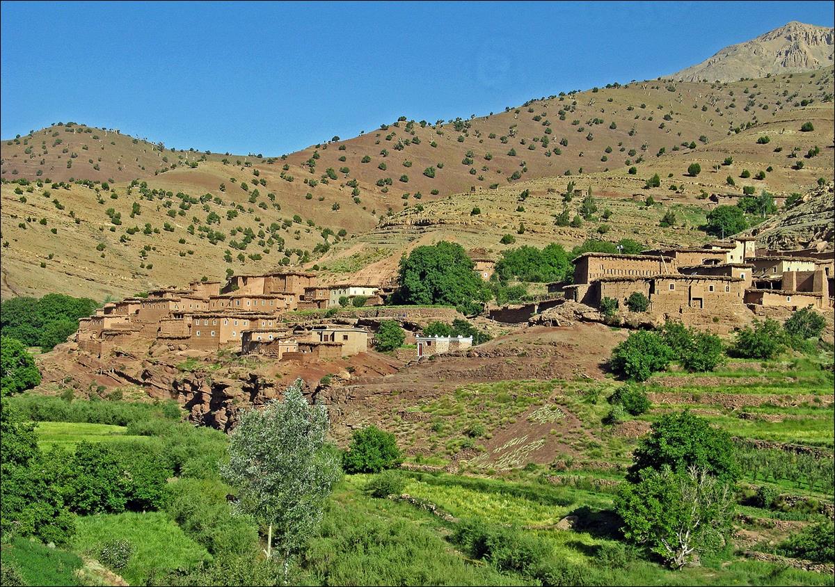
Other views of Ait Imi.
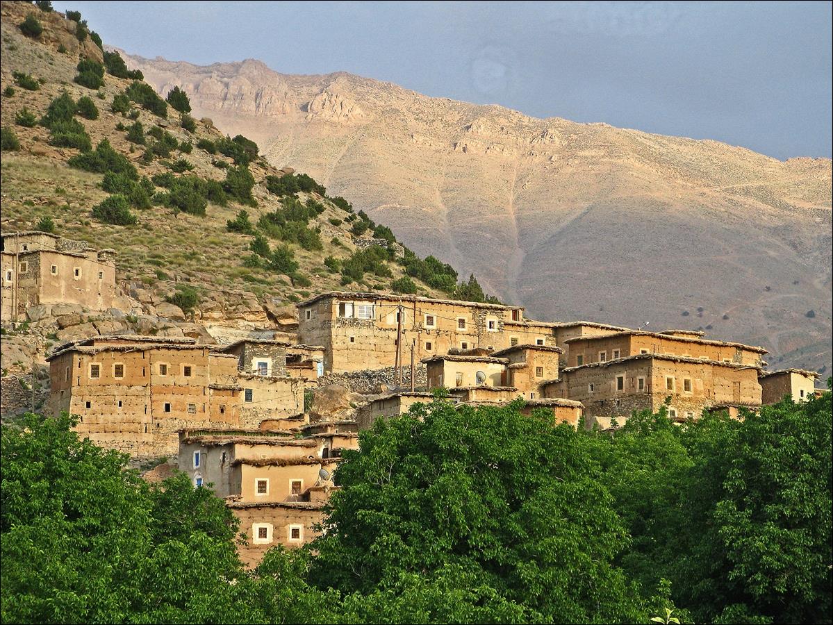
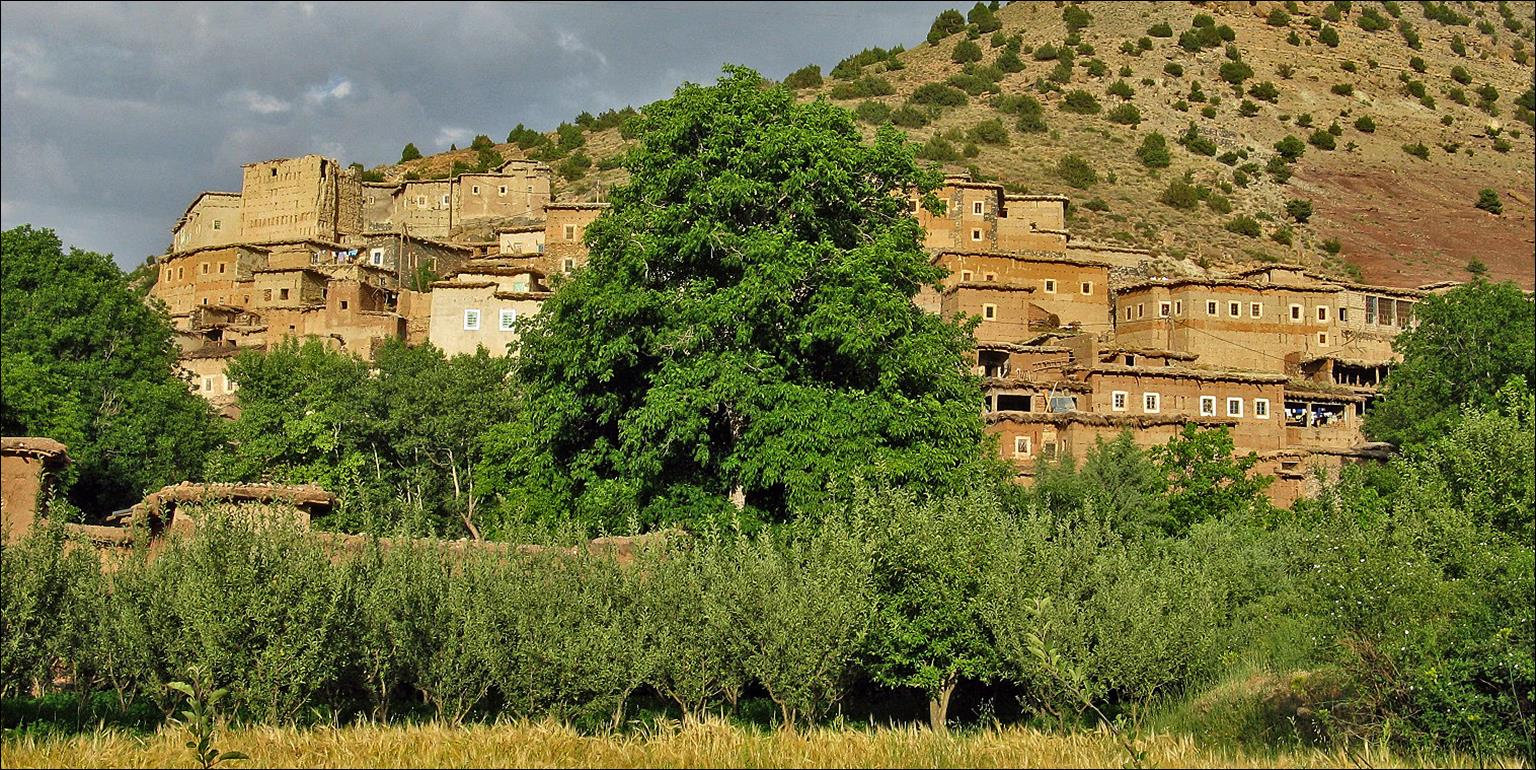
Looking back toward the
village of Ait Imi from the
beginning of the trail ascending toward Tizi-n-Ait Imi, with Ighil-n-Ait Ourit (mountain range) in the
background.
Successive views toward
the Ait Bouguemez valley
during the ascent of Tizi-Ait-Imi.
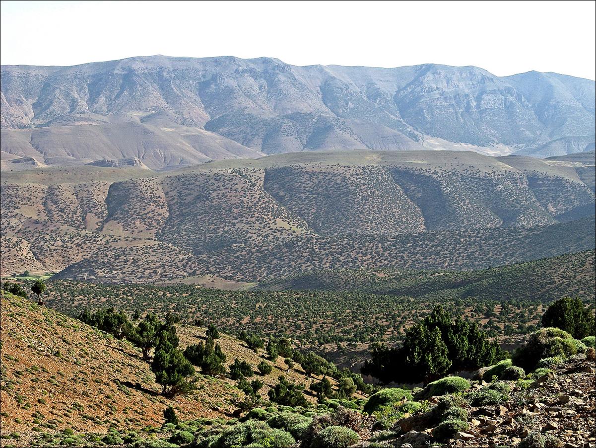
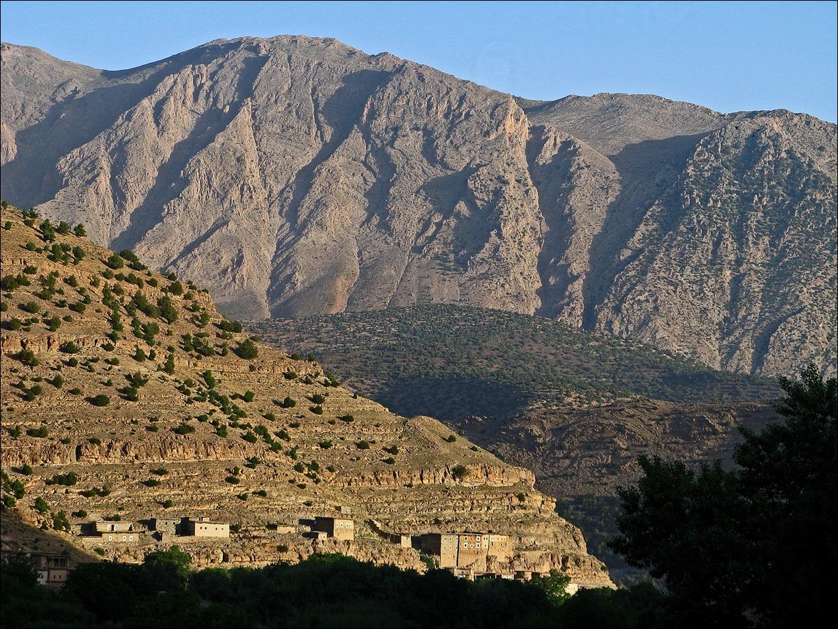
View toward the South from
Tizi-n-Ait Imi. The first
valley is Assif Amougr. The Mgoun
range (with a few snow patches) is in the background.
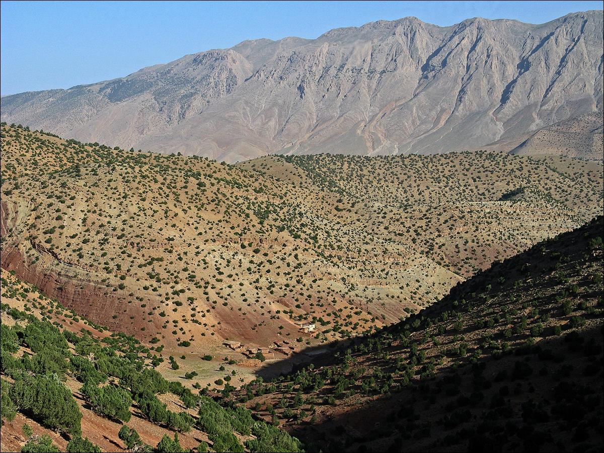
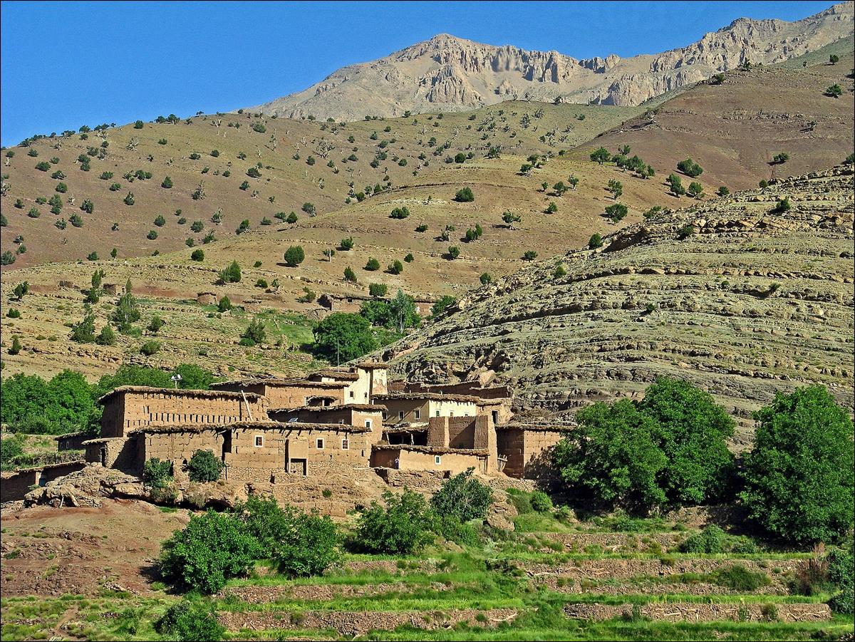
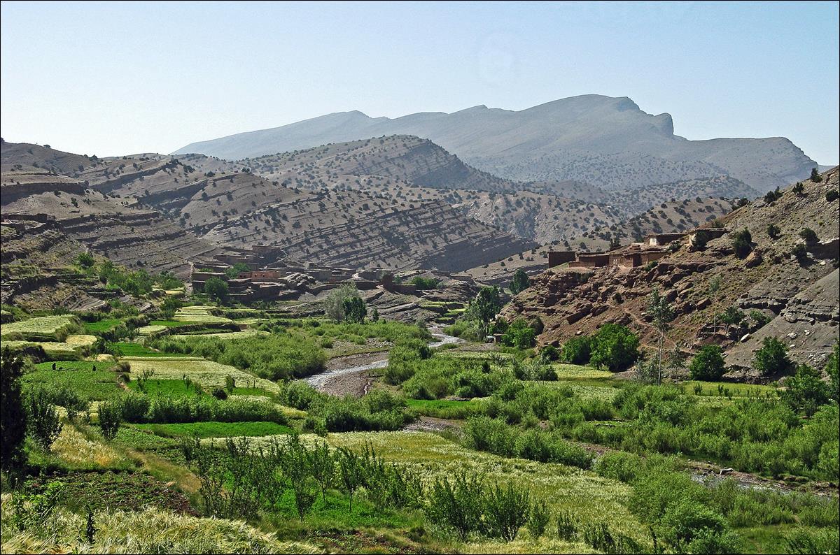
Valley of Assif Amougr.
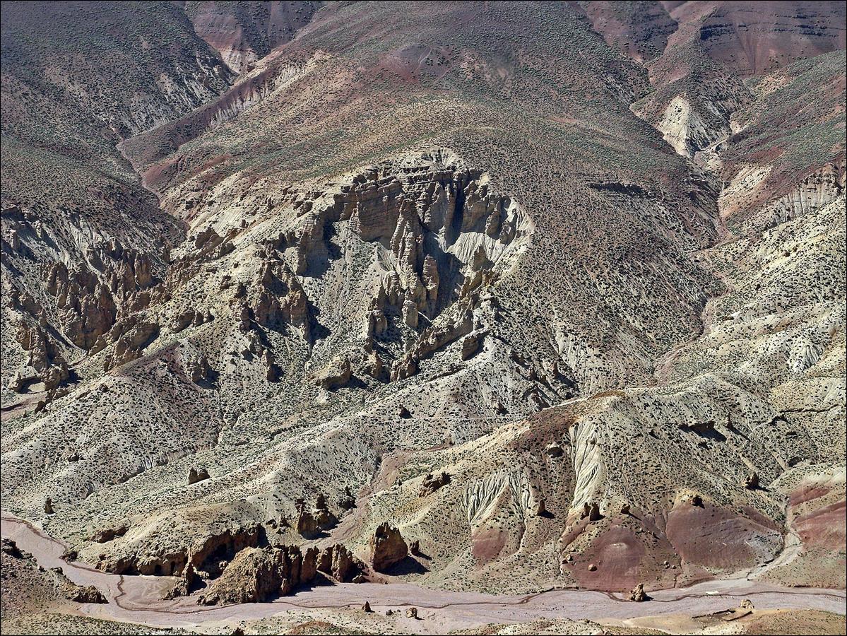
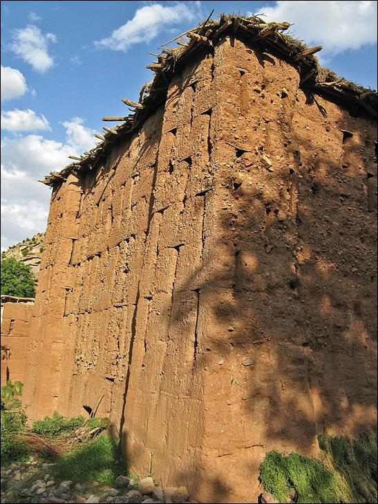
The
photogenic granary of Tighremt-n-Ait
Ahmad, where Assif Amougr and Assif Oulilimt merge to form Assif Mgoun.
June 16: El-Mrabitine to Ighrem-n-Ait Issa along Assif Mgoun and Assif Imejdag
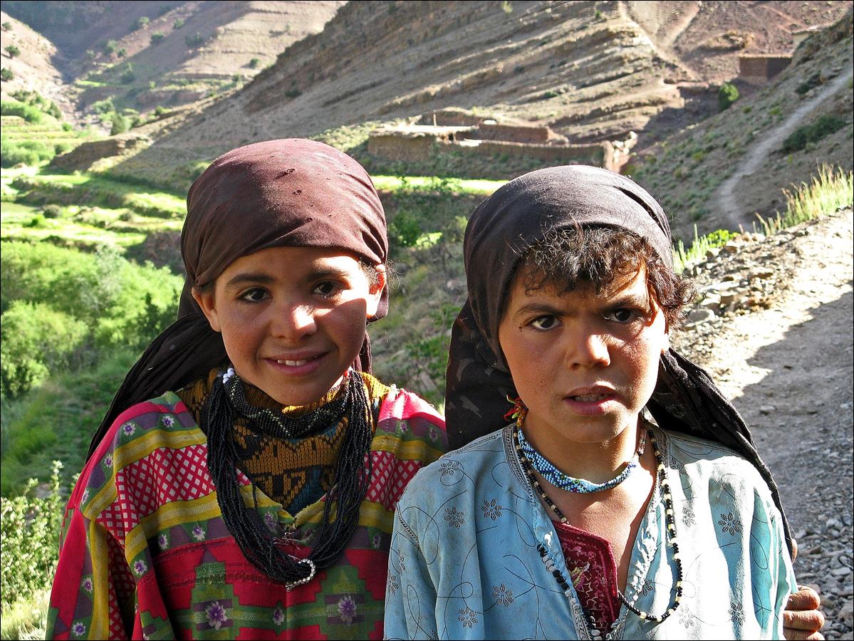
Villages along Assif Mgoun.
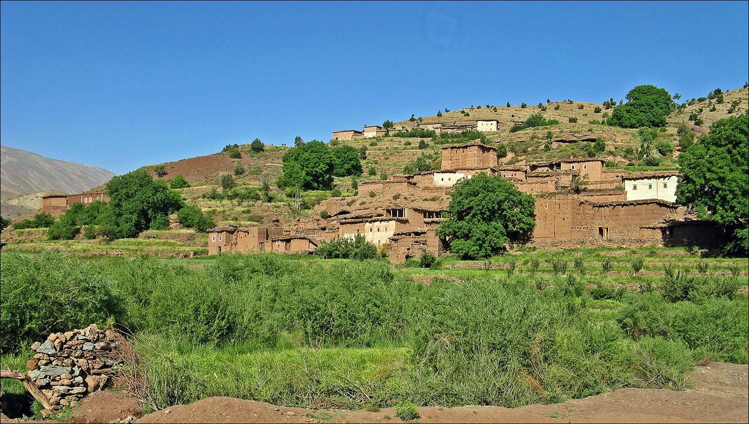
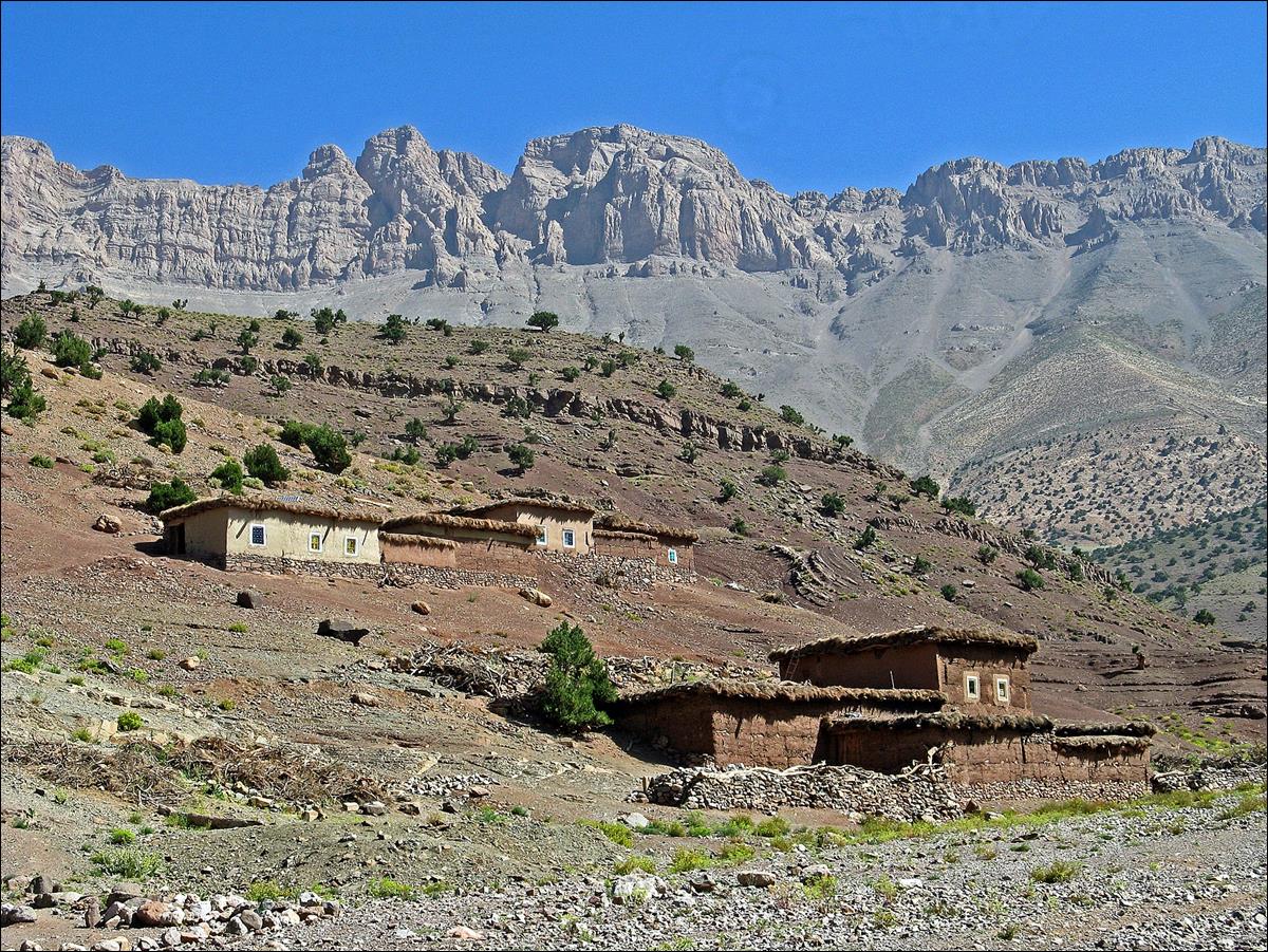
Berber
girls.
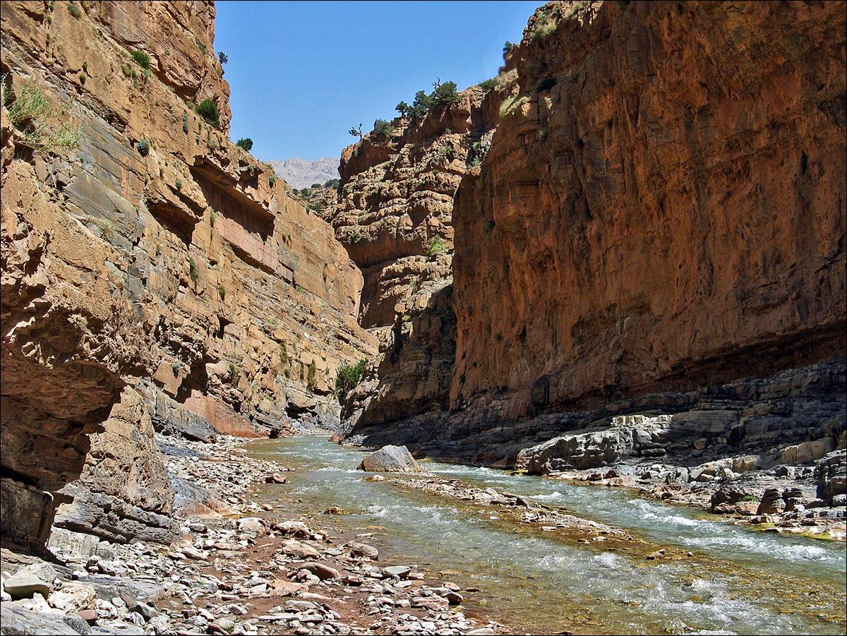
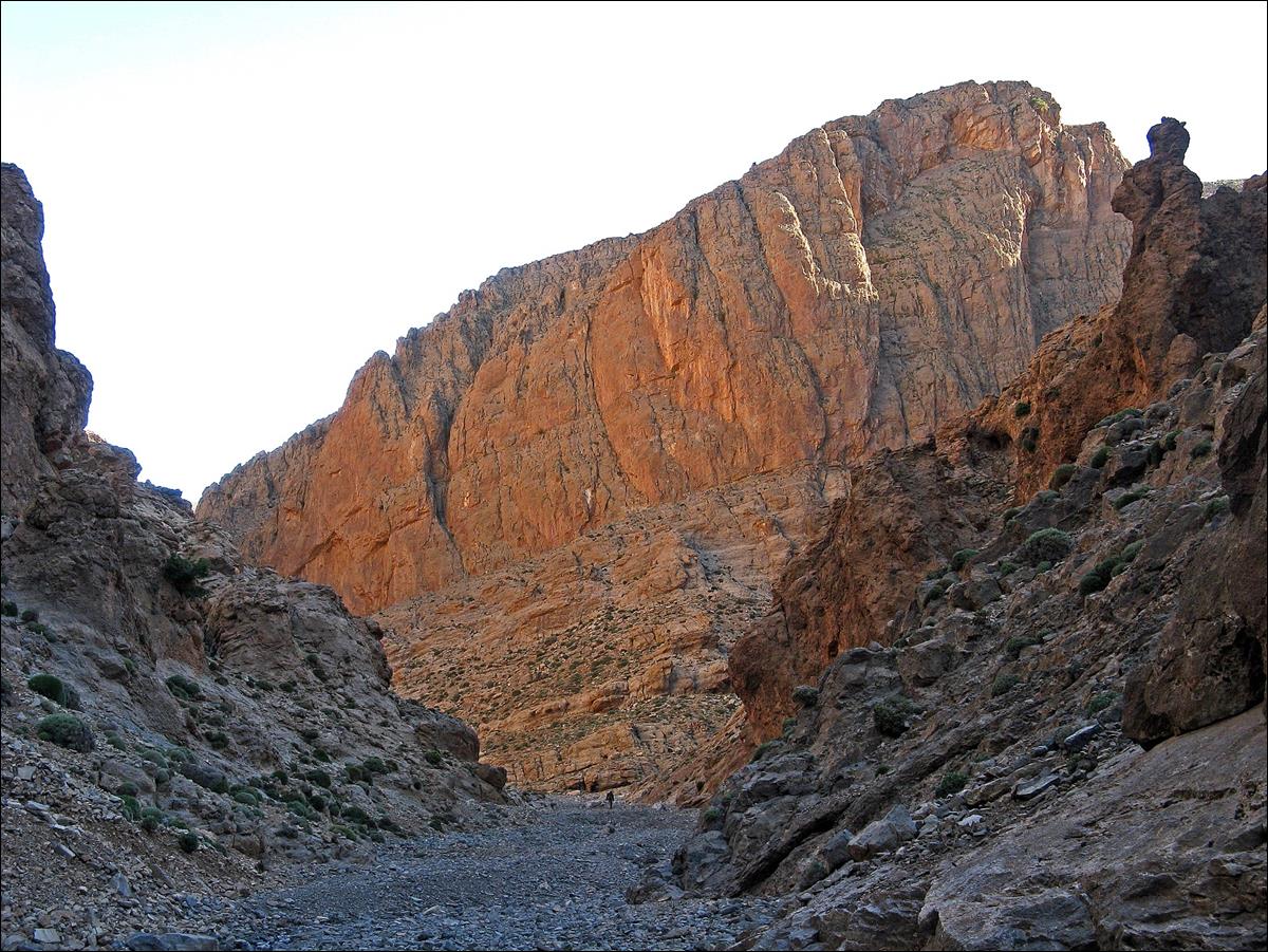
Along the Mgoun river further downstream before entering the gorge.
Beginning of
the gorge of Assif Mgoun.
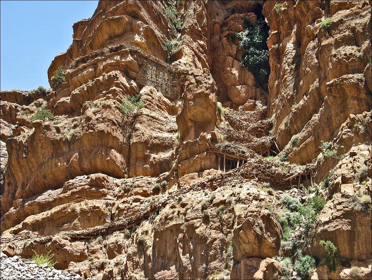
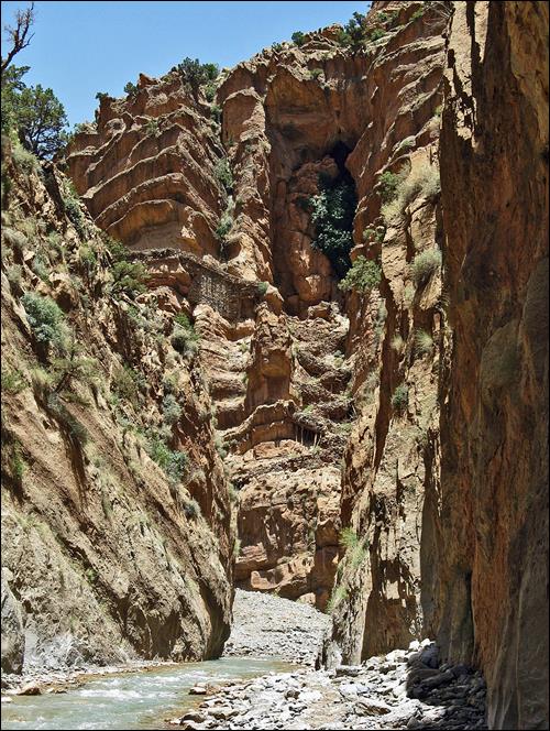
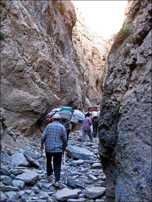
An amazing
section of the Mgoun trail, which is used to avoid
the bottom of the canyon when there is too much water.
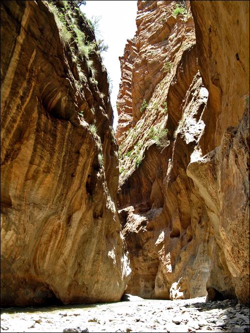
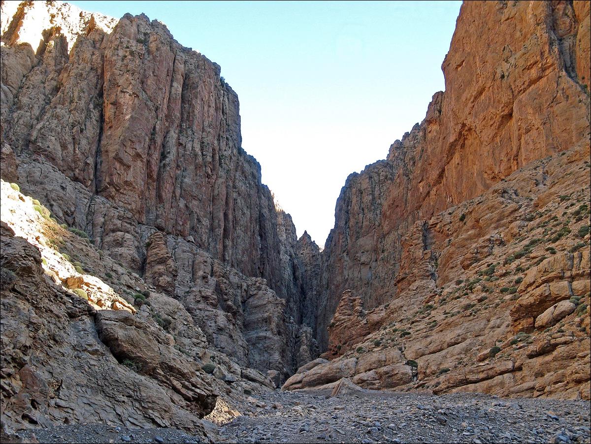
In the
narrows of Assif Mgoun. (The trail in the previous
picture is also visible in the picture on the left.)
|
|
|
|
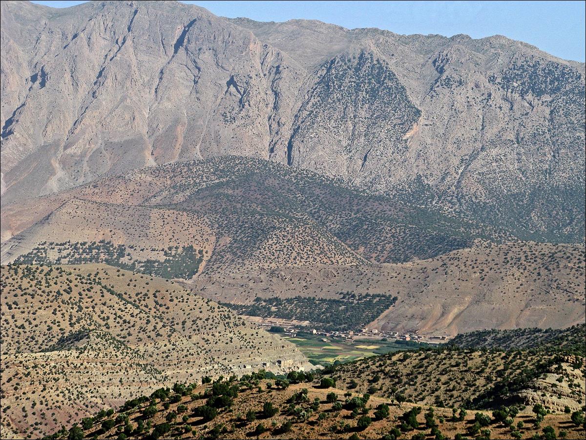
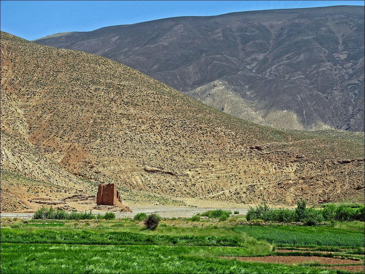
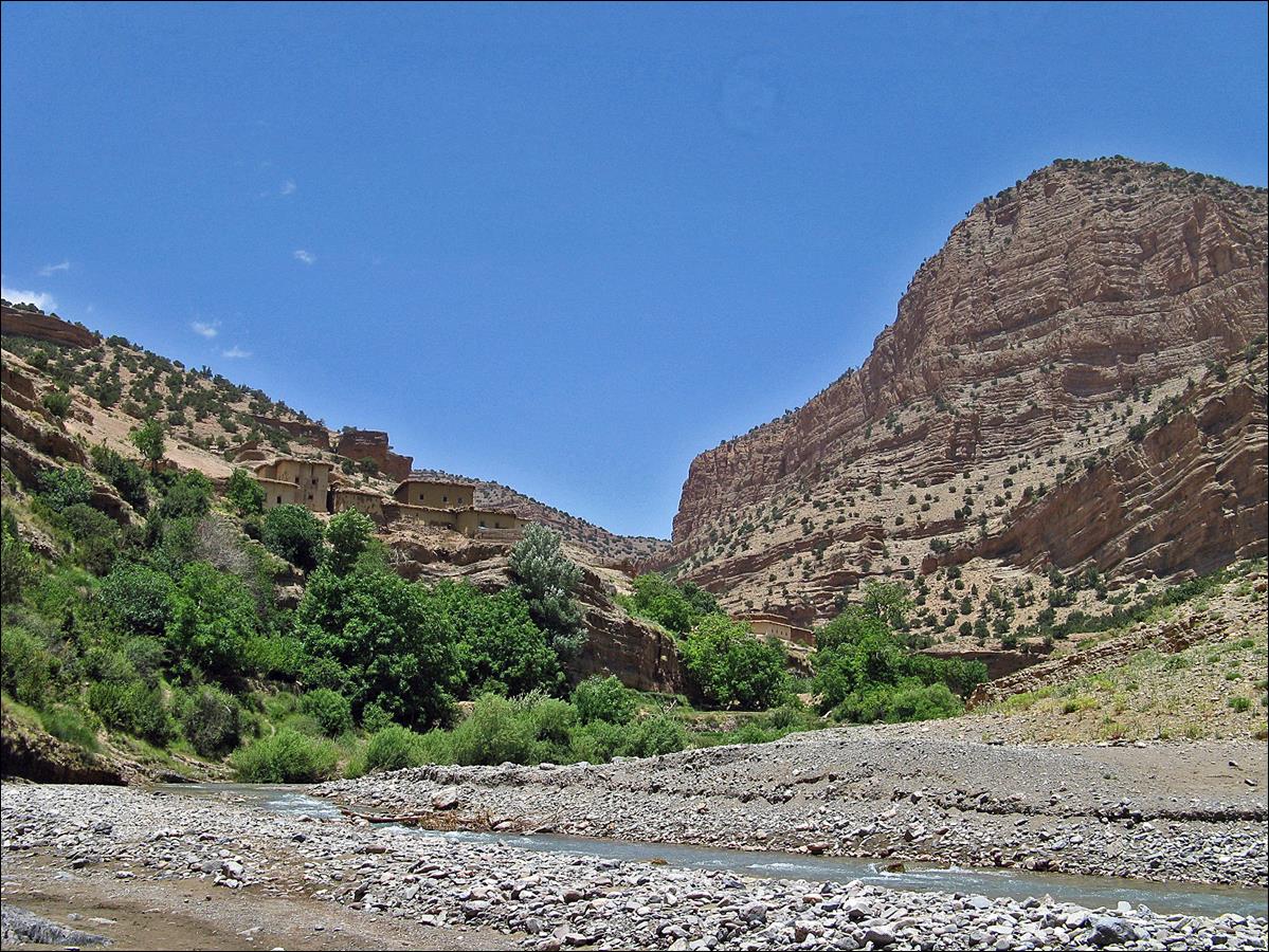
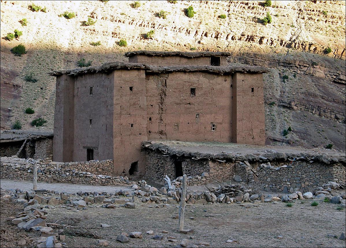
Reaching Ighrem-n-Ait Issa in the canyon
of Assif Amejgag.
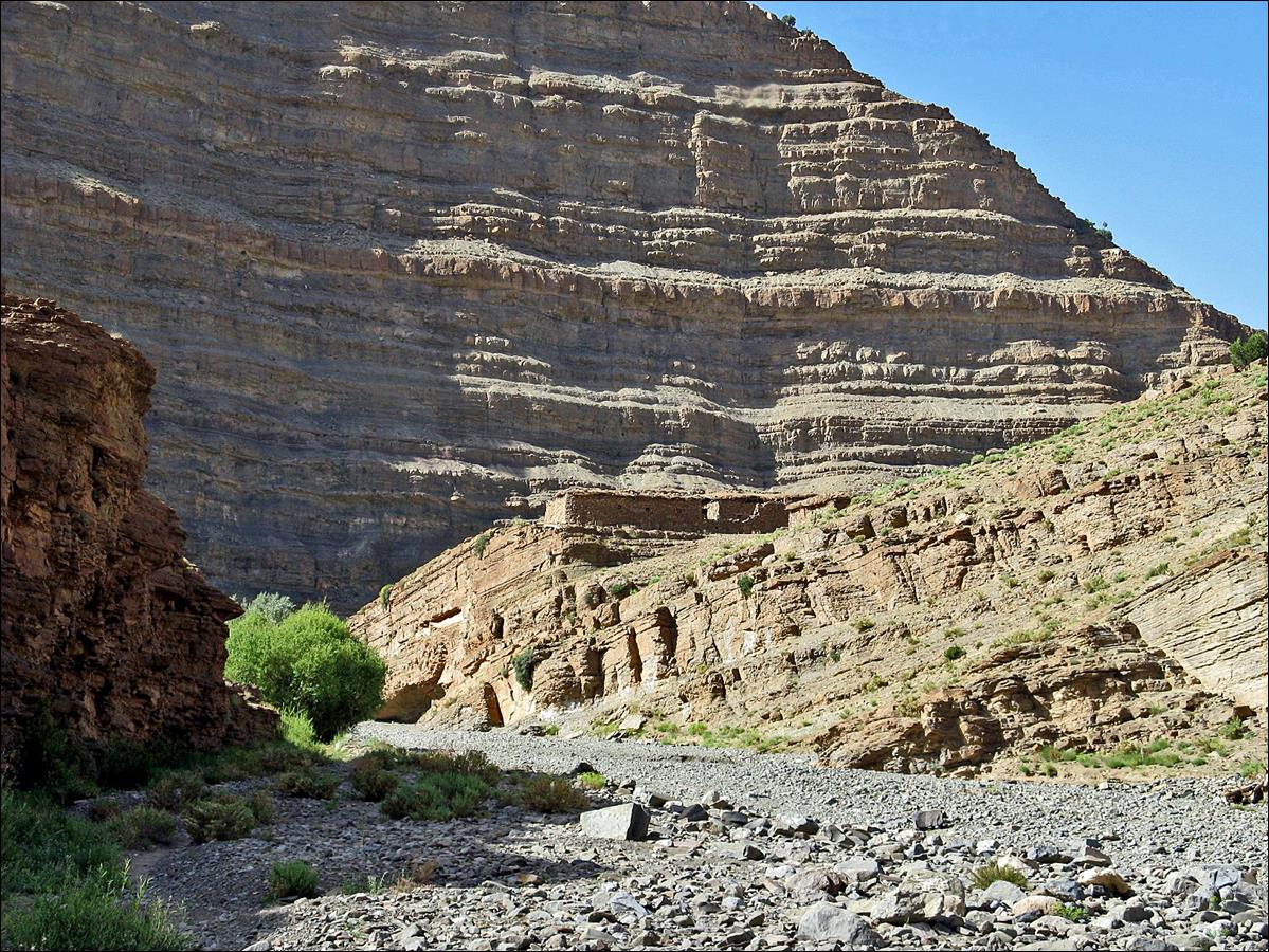
Granary of Ighrem-n-Ait Issa.
June 17: Ighrem-n-Ait Issa to the upper gorges of Assif Imejdag
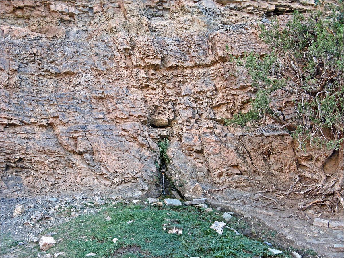
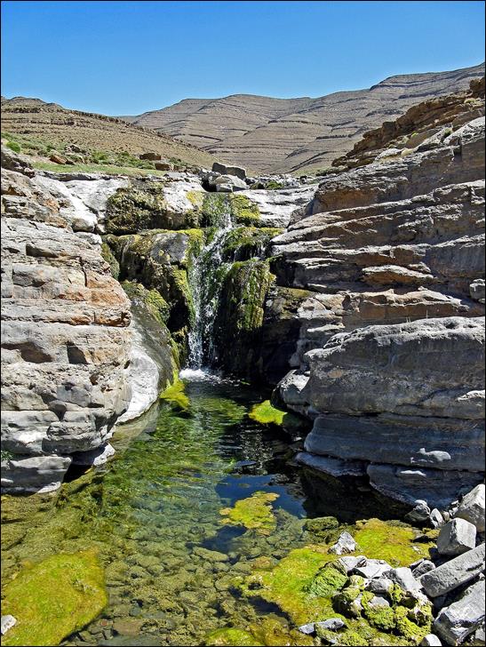
Small source
soon after leaving Ighrem-n-Ait
Issa.
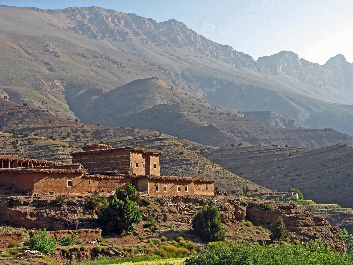
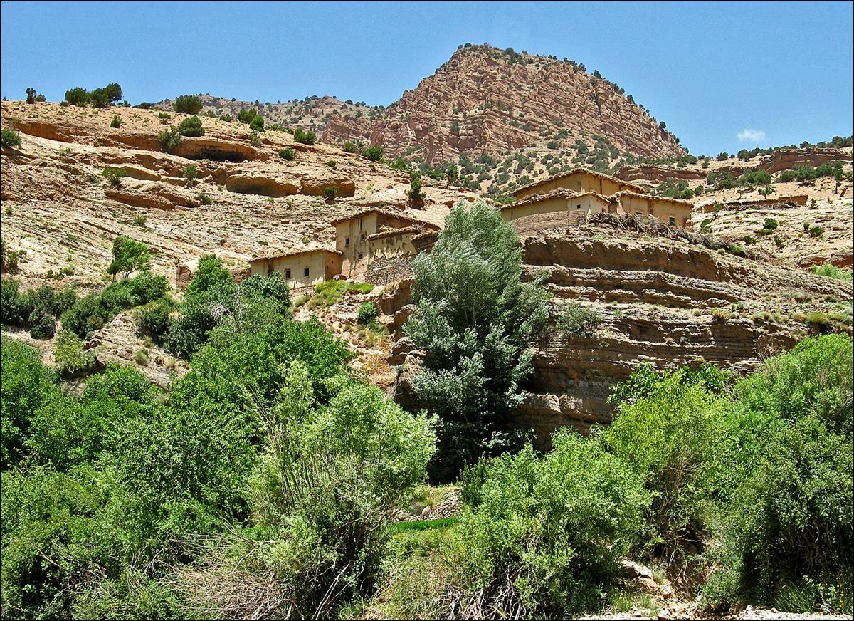
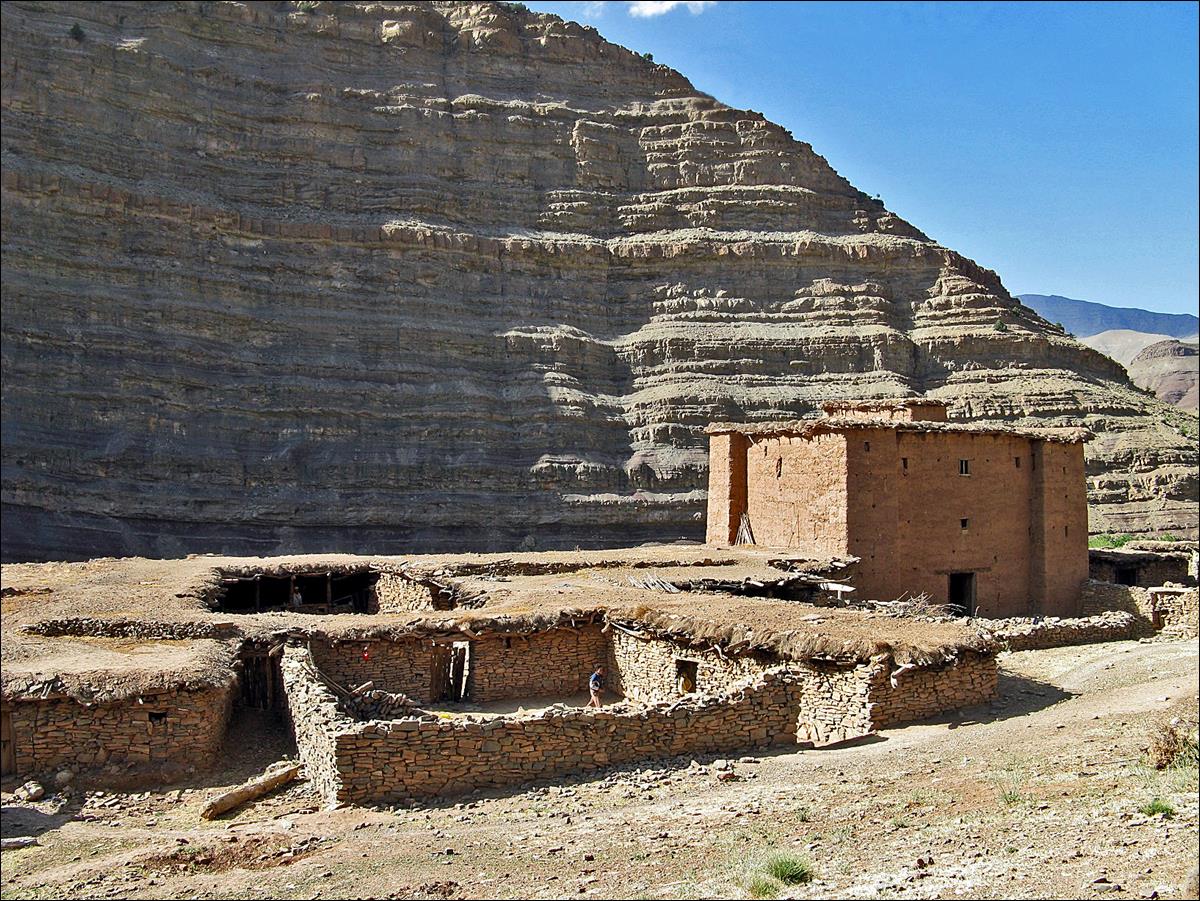
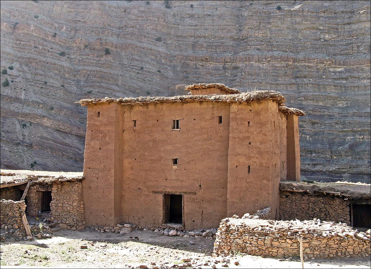
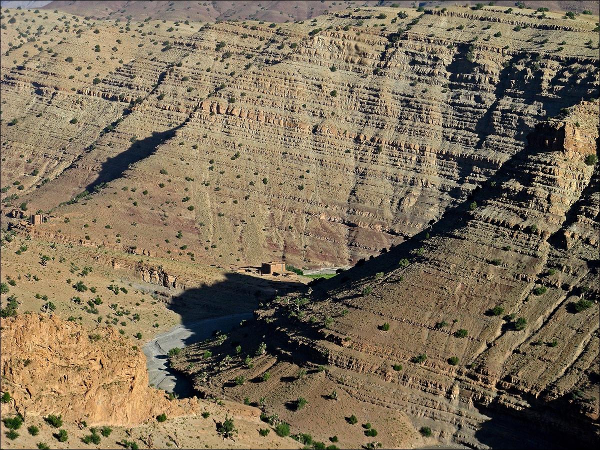
The granary
of Ighrem-n-Ait Issa seen
from the ridge above Assif Imejdag.
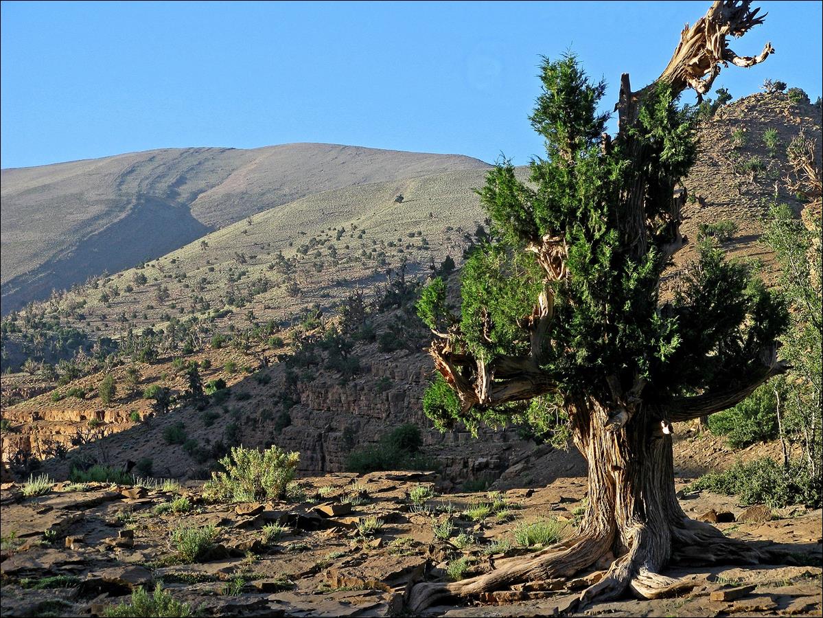
Juniperus
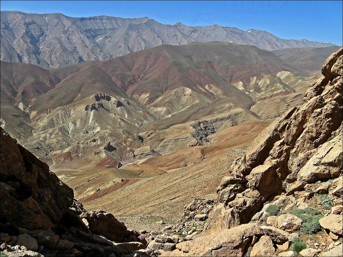
on the ridge, with Jebel Tigounatine in the background..
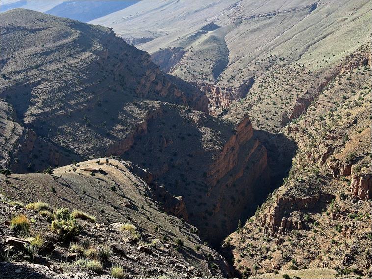
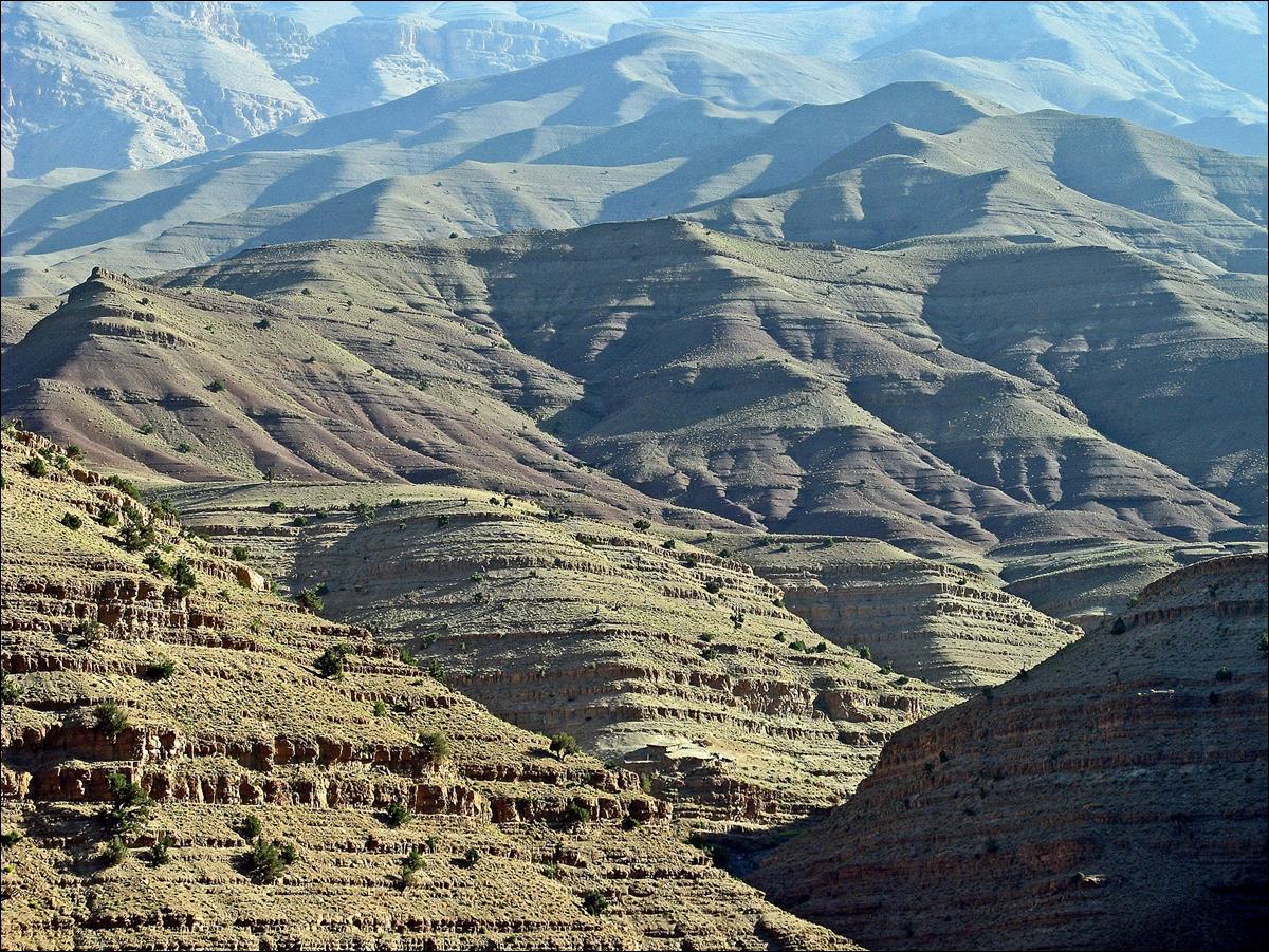
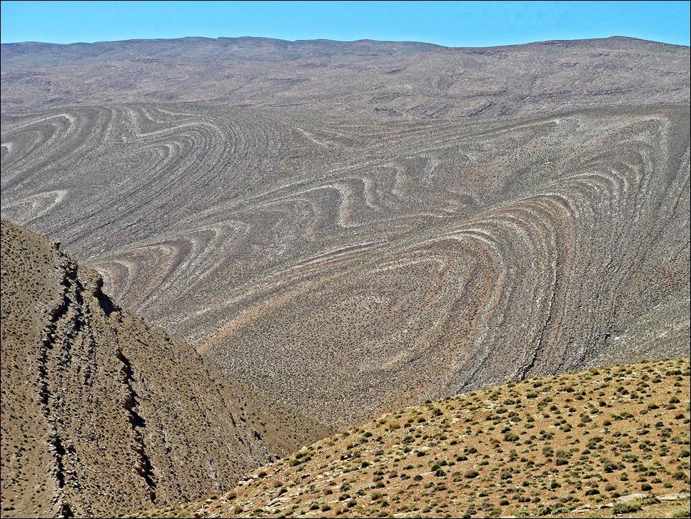
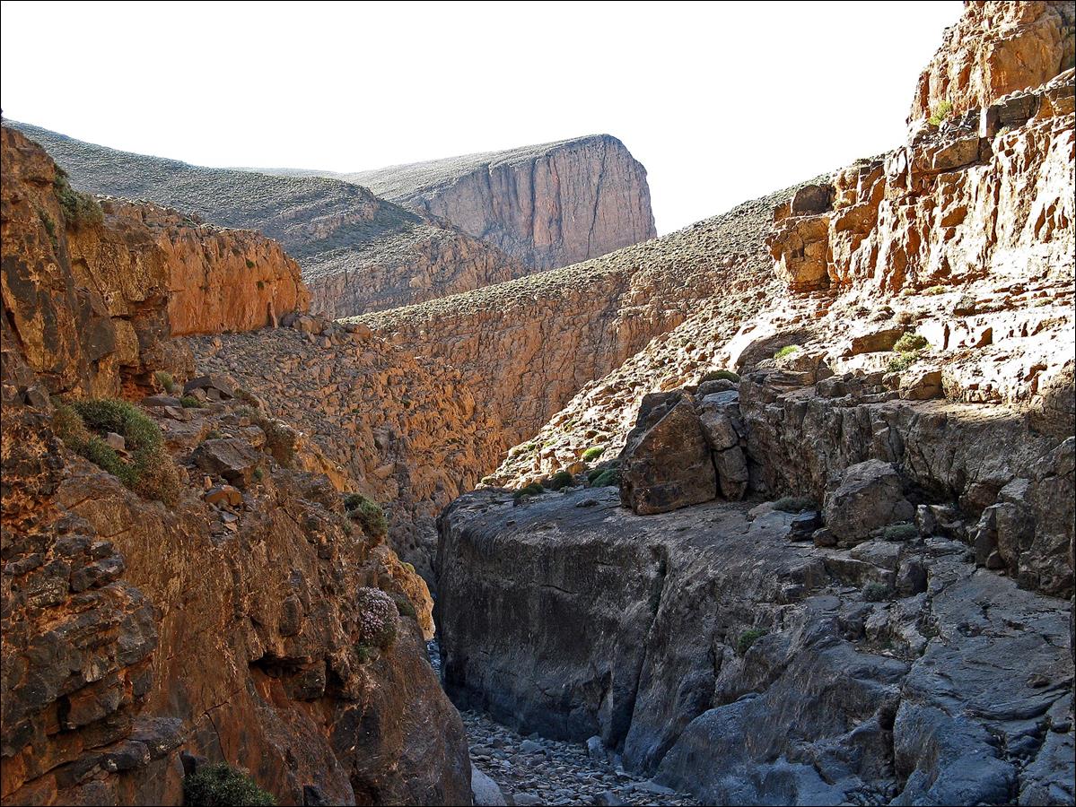
The mid-section canyon of
Assif Imejdag seen from the ridge.
|
|
|
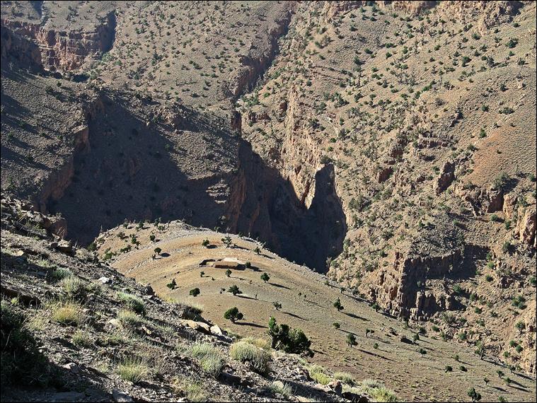
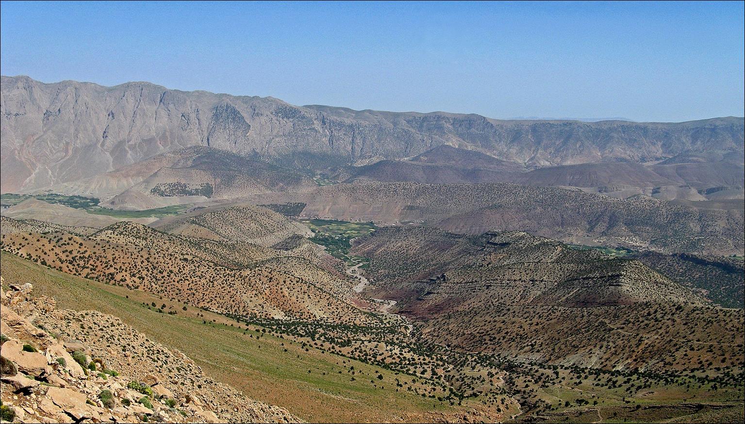
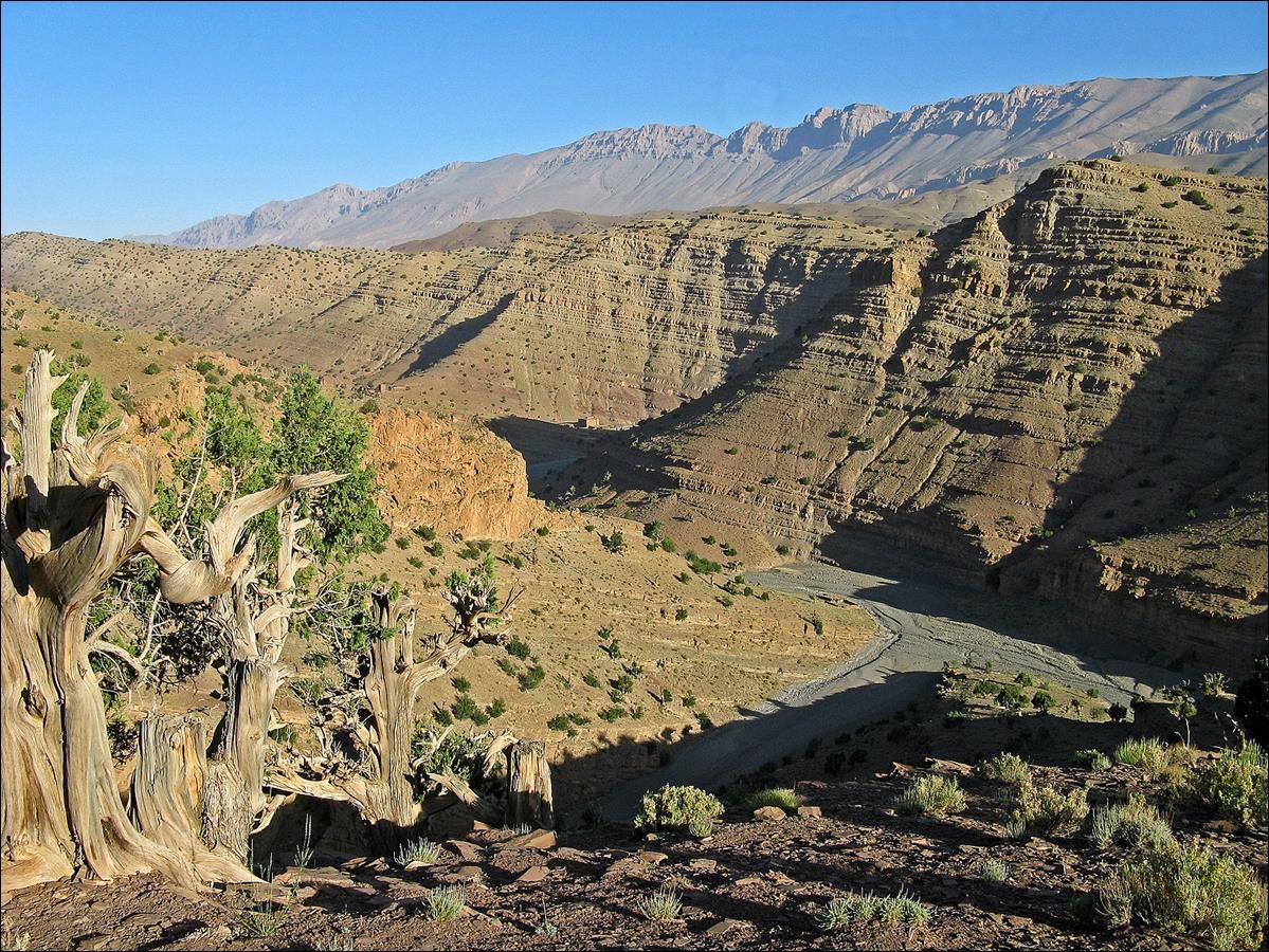
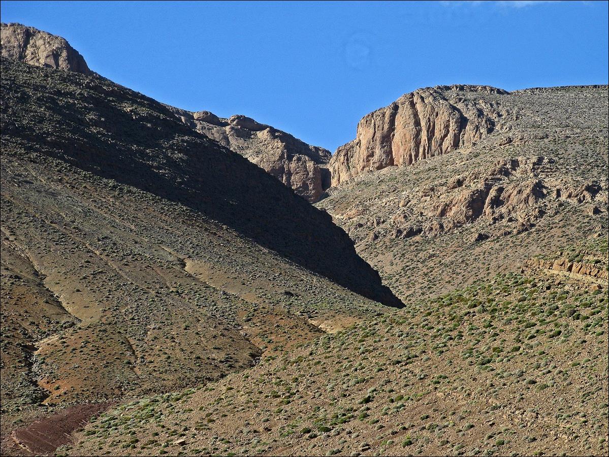
View toward Adrar-n-Ouchane and Jebel Tamaracht.
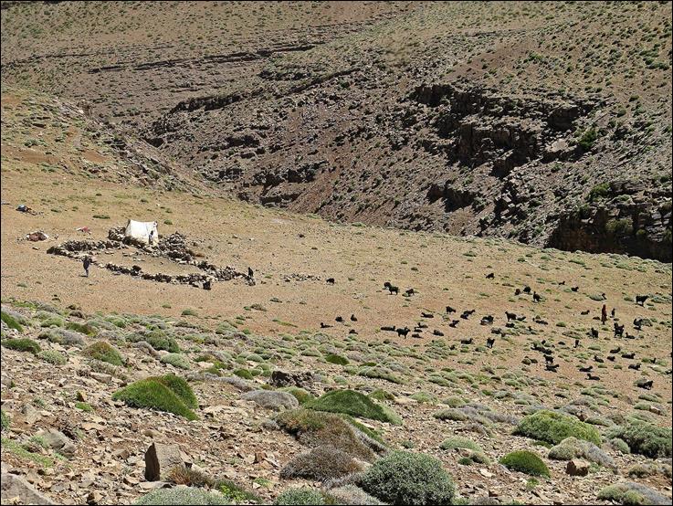
Nomad camp
on the northern slope of Jebel Tigounatine (south of
Assif Imejdag).
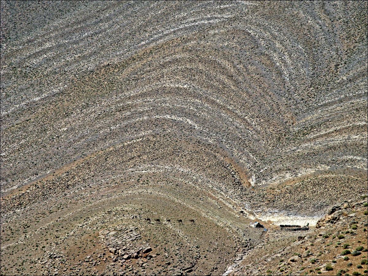
Left: more
land pattern on the slope of Jebel Tigounatine. Right:
Water in dry landscape, beautiful source on the opposite side of Assif Imejdag.
|
|
|
Approaching
the upper gorges of Assif Imejdag.
June 18: Upper gorges of Assif Imejdag
to the cirque of Taghia
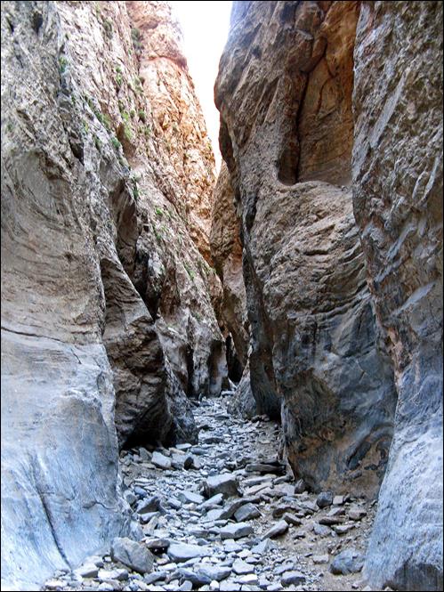
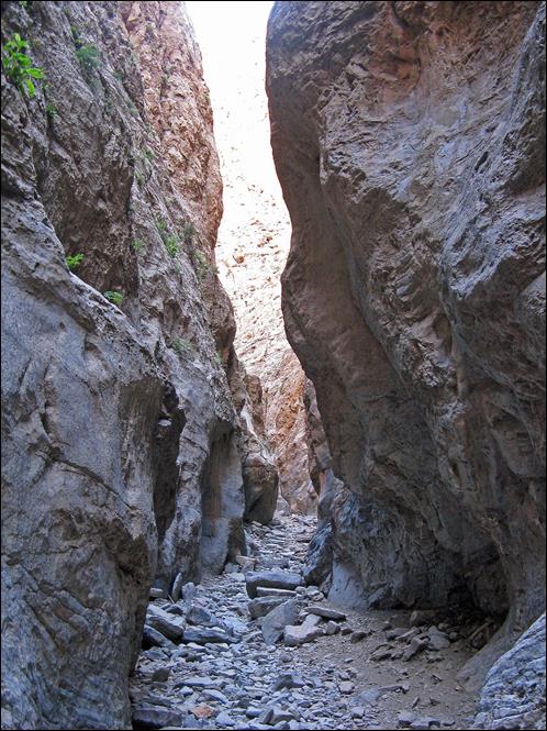
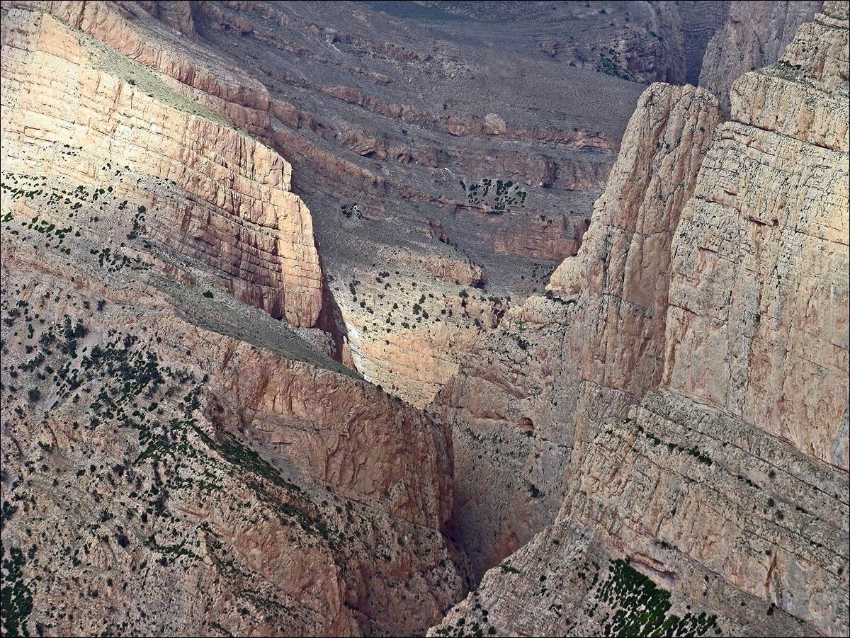
Entering the
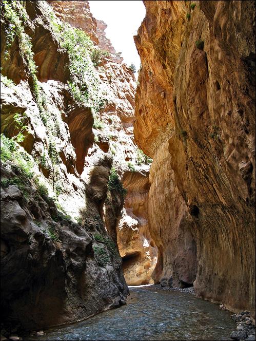
narrow upper gorge of Assif Imejdag.
In the
narrow section of the gorge.
|
|
|
|
Leaving the
narrow section.
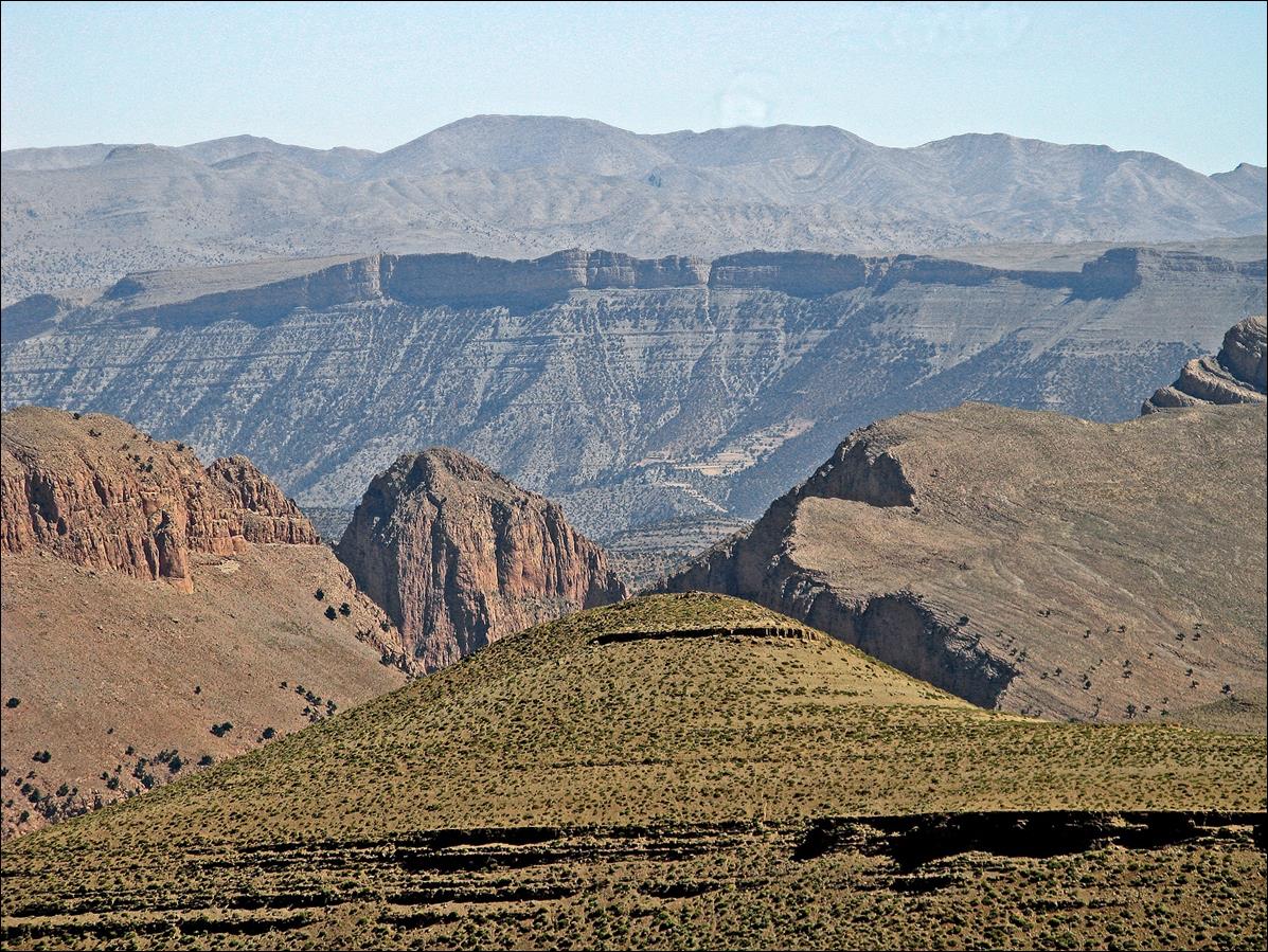
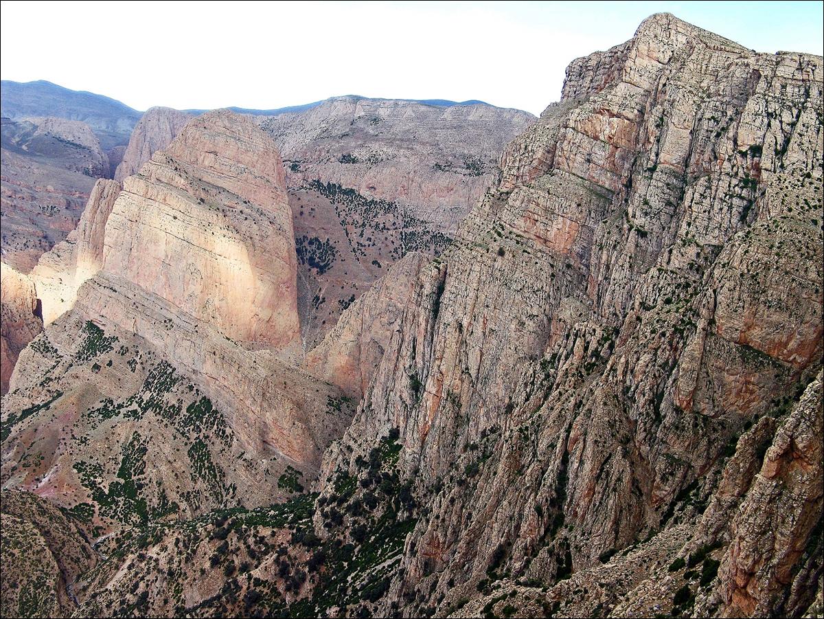
View from
Tizi-n-Wadou on Jebel Anzig: top of a sharp rock dome
that dominates the Taghia cirque and Koucer plateau in the background.
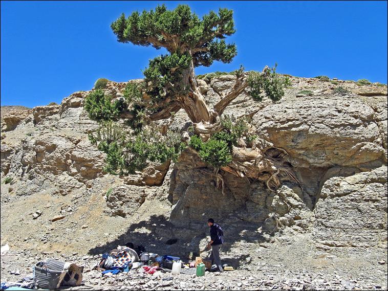
Lunch under
the shadow of an old juniperus and the surrounding
valley.
|
|
|

Nomad camp.
|
|
|

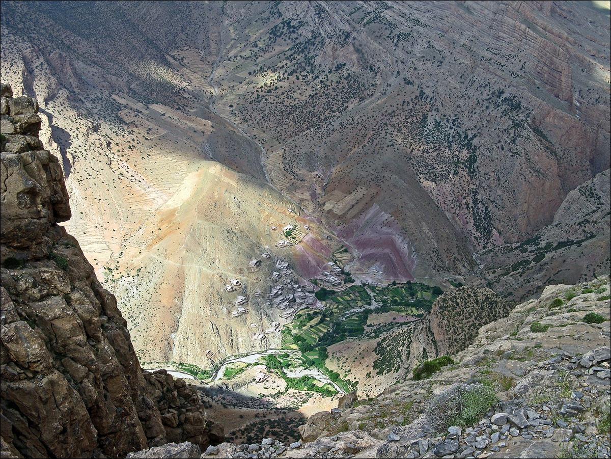
Views of the
village of Taghia and rock cliffs around it from the
ridge of the plateau. (For other pictures of the Taghia
cirque that I took in 2005, see here.)
Link
to the photos of the second part of the trek: From
the Cirque of Taghia to Oussikis.
![]()
Return
to main tabant-mgoun-imejdag-taghia-oussikis webpage