High Atlas of Morocco: From Arous to Amniter (April
2013)
Section 3: Tarbat-n-Tirsal to Ait Ali-n-Ito (Oued Tessaout)
![]()
Return
to main Atlas 2013 webpage | Go to sections: 1,
2,
3,
4,
5
To
reach the village of Imazayn from Tarbat-n-Tirsal, we first headed south-west along a small valley on
the northern flank of Jebel Rat to reach Tizi-n-Kark (2850m). Then for a while
we followed a level trail on the western side of Jebel Rat before dropping down
to Imazayn. We set our tents a short distance beyond Imazayn across Assif Ghast.
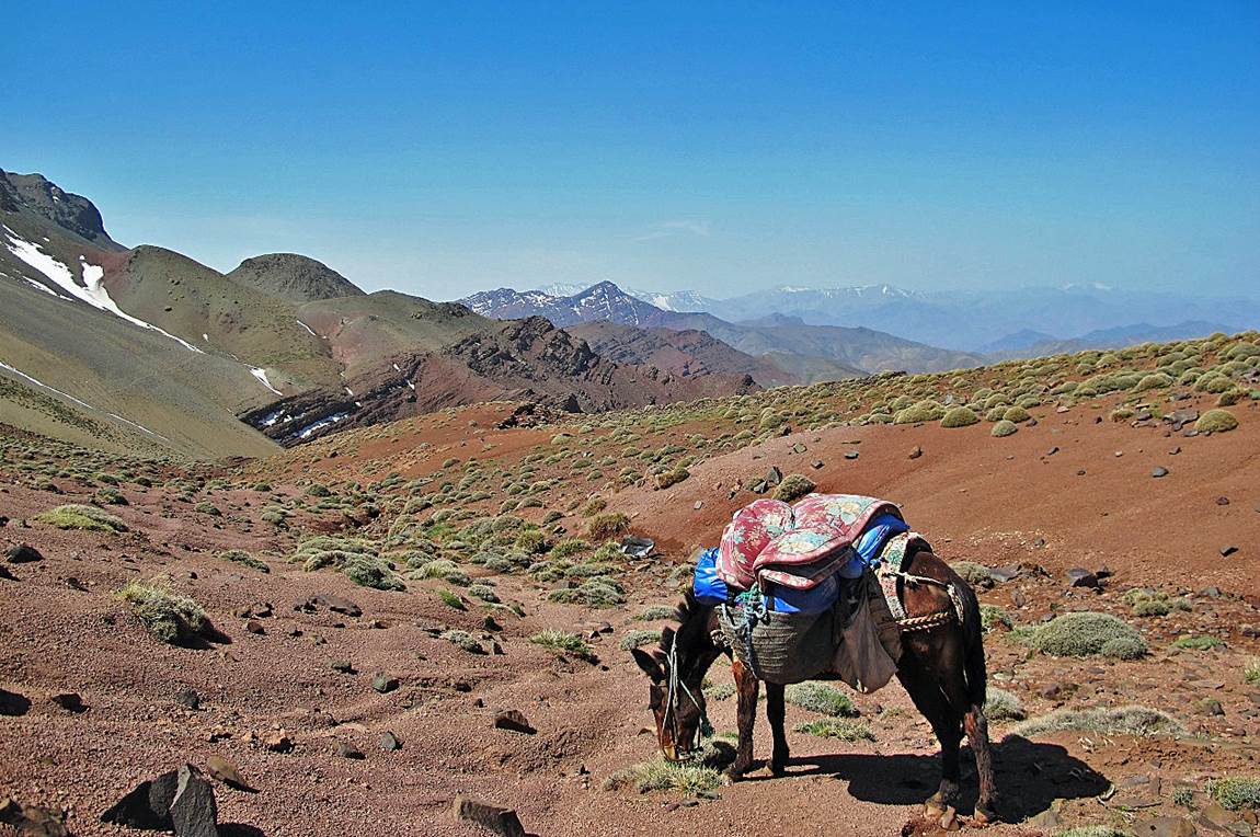
At
Tizi-n-Kark. The level trail that we followed next is barely visible on the
left side of the photo.
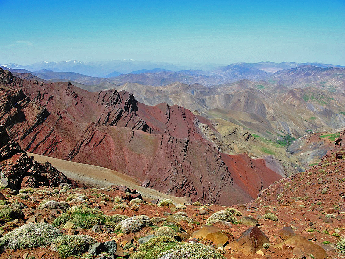
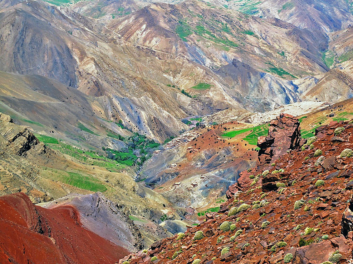
The trail contours
the western slope of Jebel Rat as shown in these two photos. The small village
of Tala-n-Izri is visible on the right near the bottom of the valley.
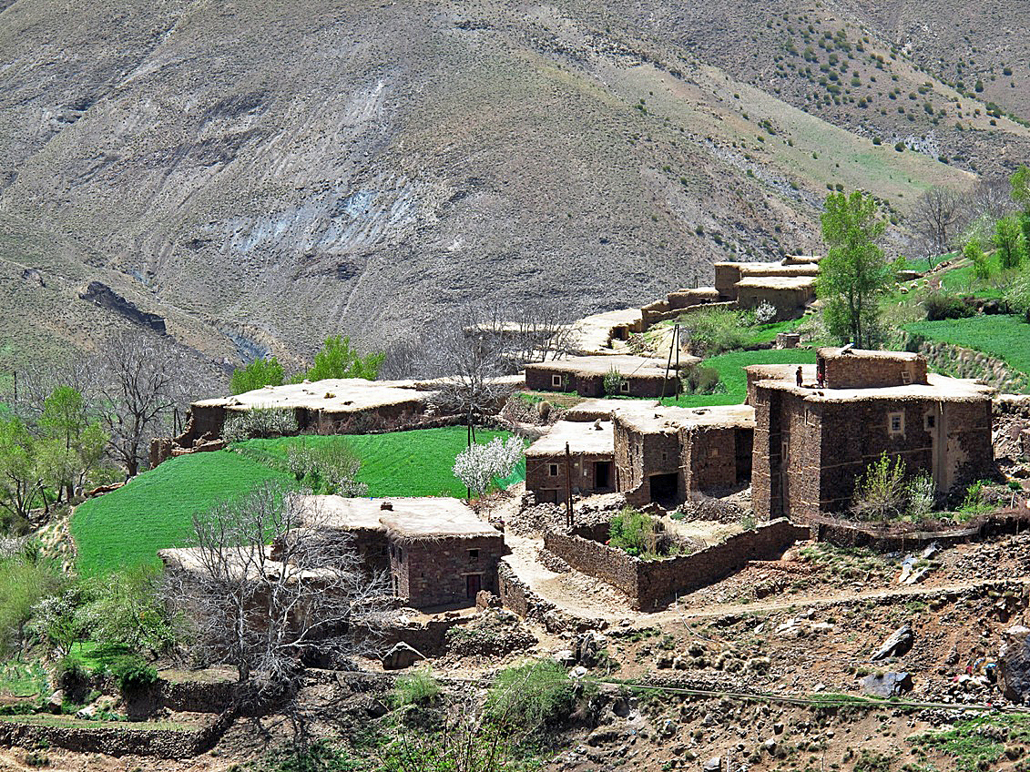
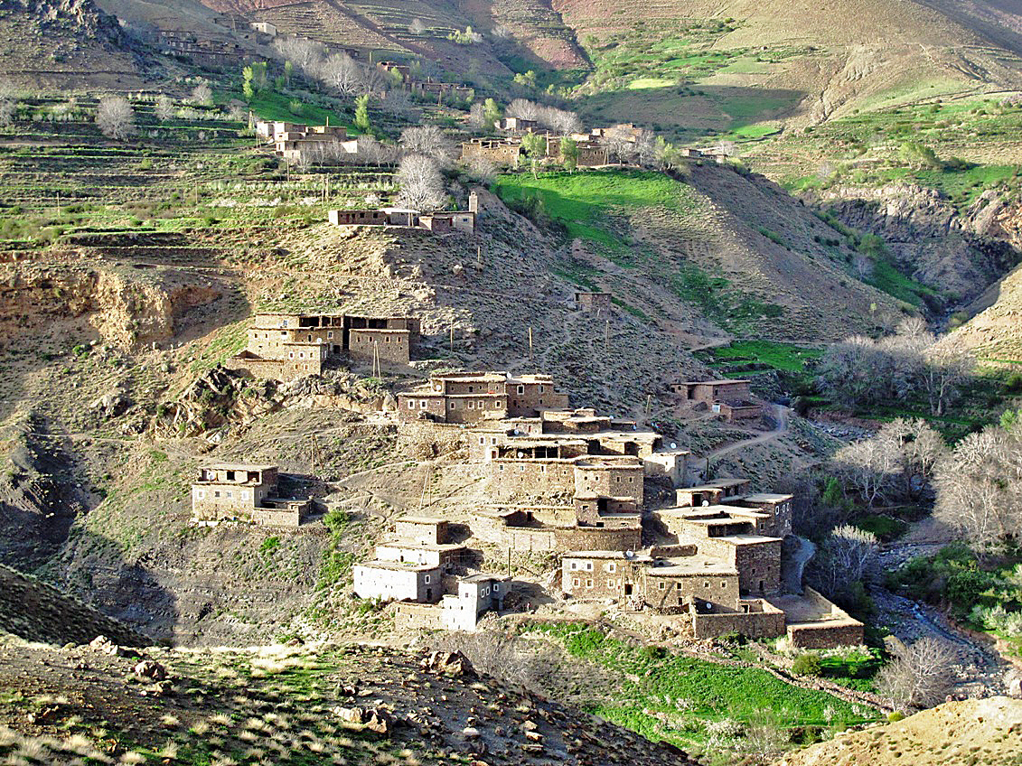
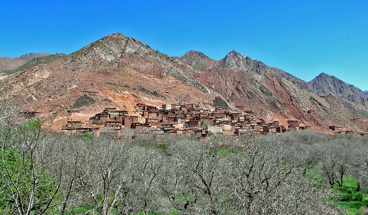
Upper and lower Imazayn. The second photo was taken from our campsite.
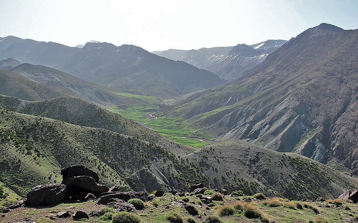
The upper valley of
Assif Tissili.
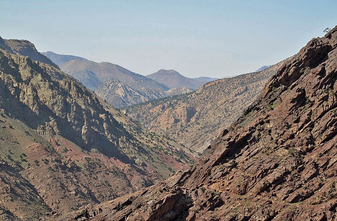
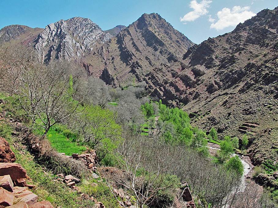
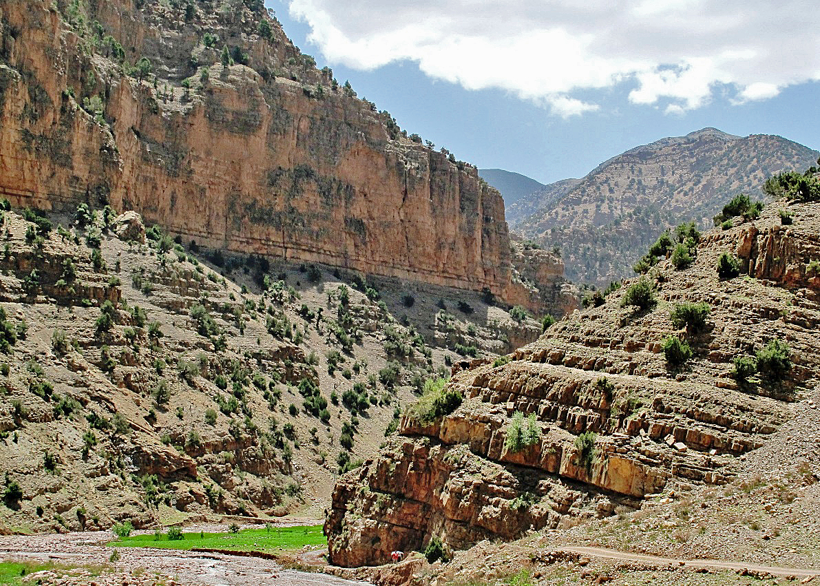
The beginning of the
canyon of Assif Tissili.
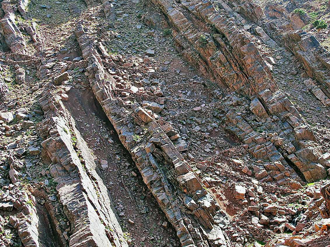
A
portion of the trail engineered between inclined rock strata in the canyon of Assif Tissili.
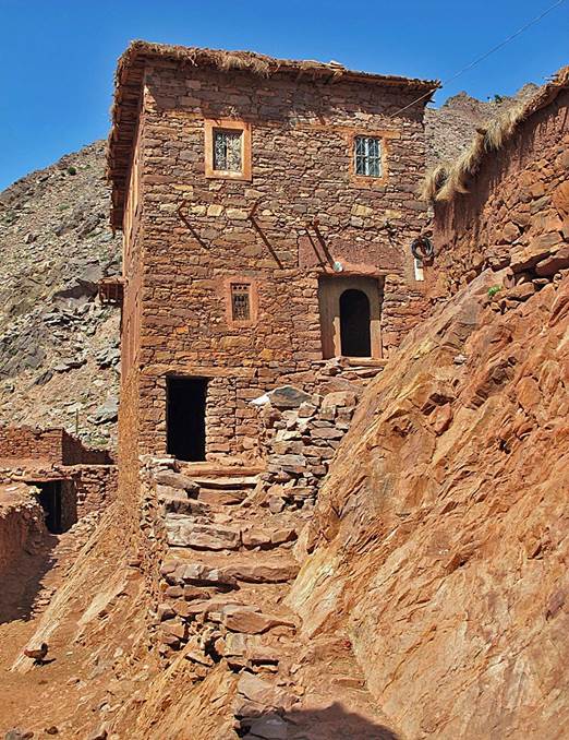
The valley Assif Tissili and a house in the village of Imi-n-Tizgui.
|
|
|
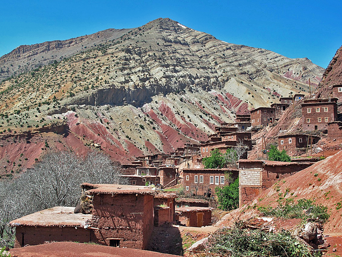
The relatively big
village of Tissili.
The lower part of the
Assif Tissili before it joins Oued Tessaout.
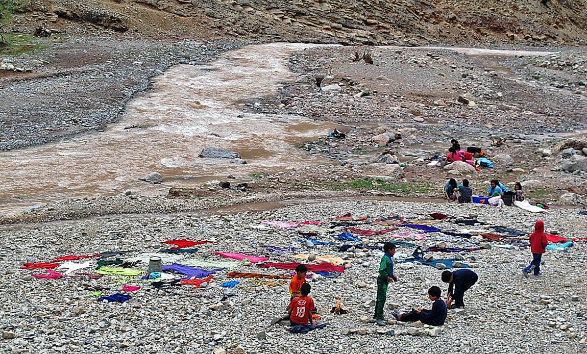
Laundry in Oued Tessaout at the village of Fakhour.
![]()
Return
to main Atlas 2013 webpage | Go to sections: 1,
2,
3,
4,
5