High Atlas of Morocco: From Arous to Amniter (April
2013)
Section 4: Ait
Ali-n-Ito to Tagoukht
![]()
Return
to main Atlas 2013 webpage | Go to sections: 1,
2,
3,
4,
5
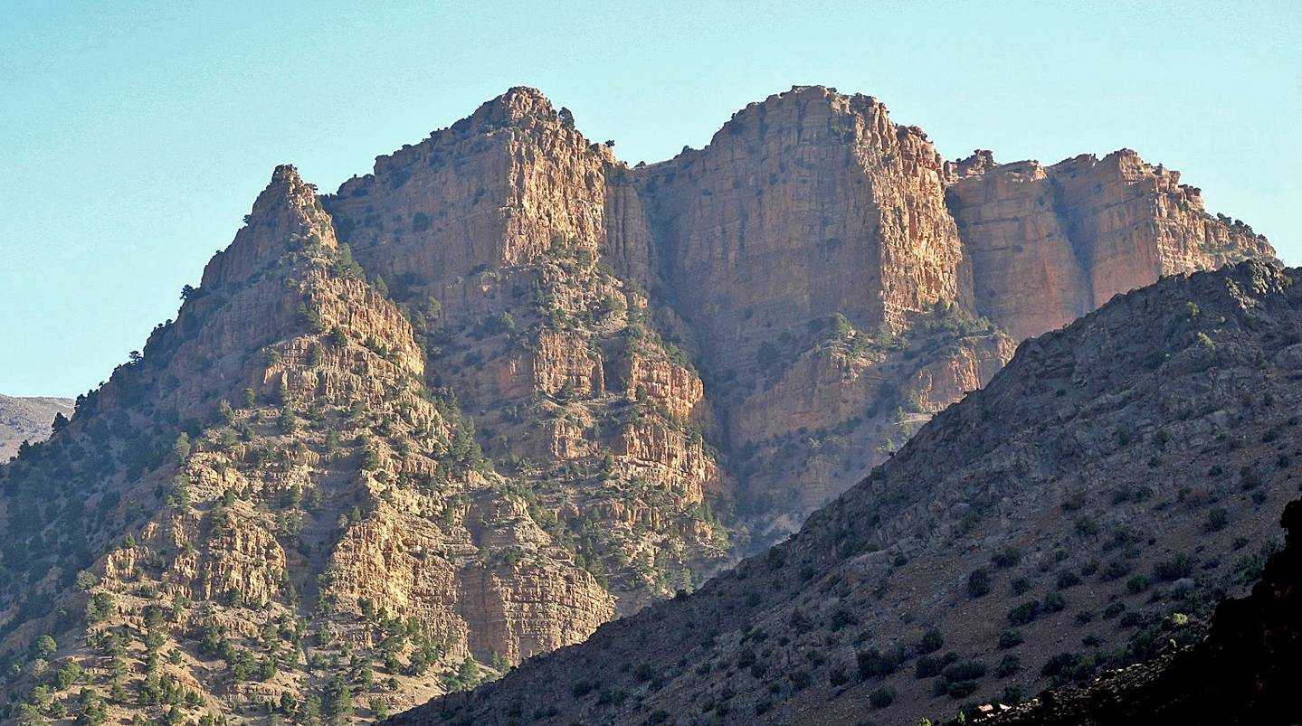
Cliffs
above Oued Tessaout near Ait Ali-n-Ito.
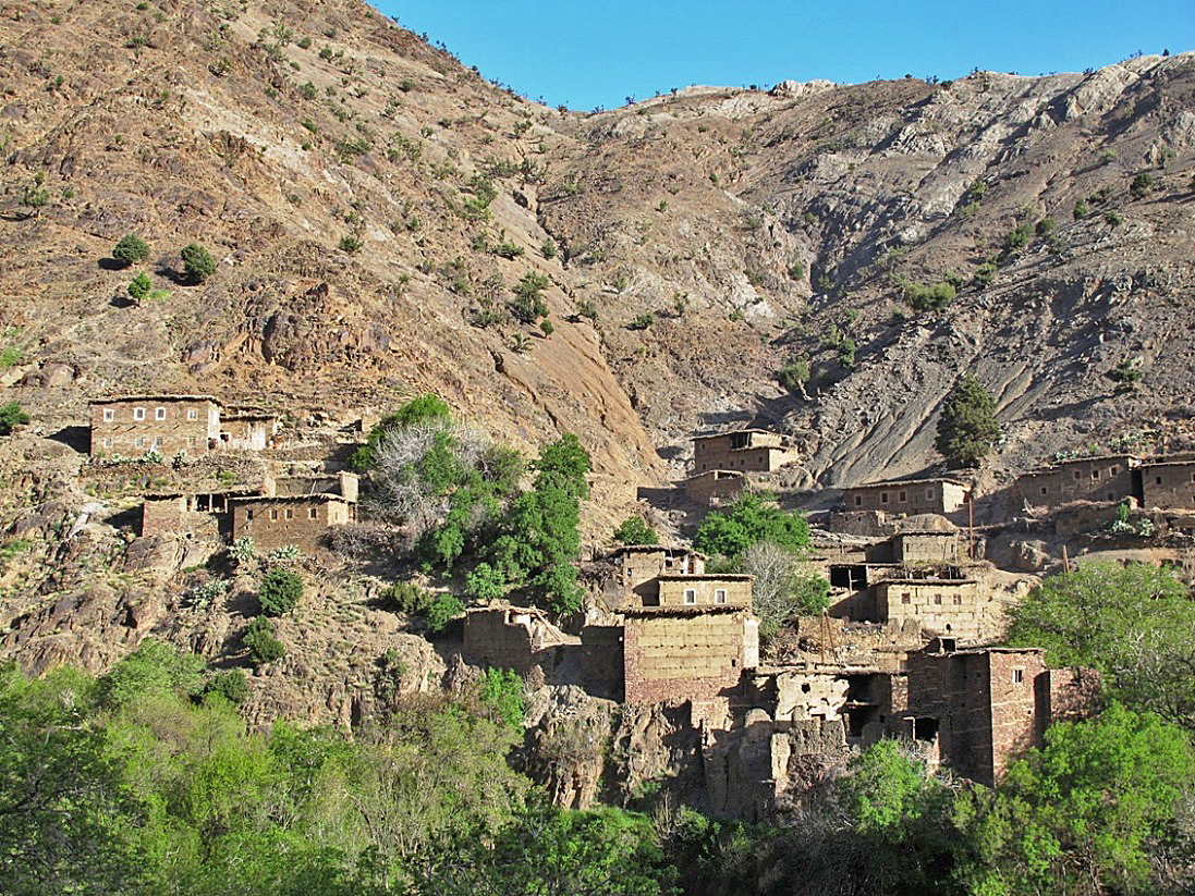
The small village of Imziln between Ait Ali-n-Ito and Megdaz.
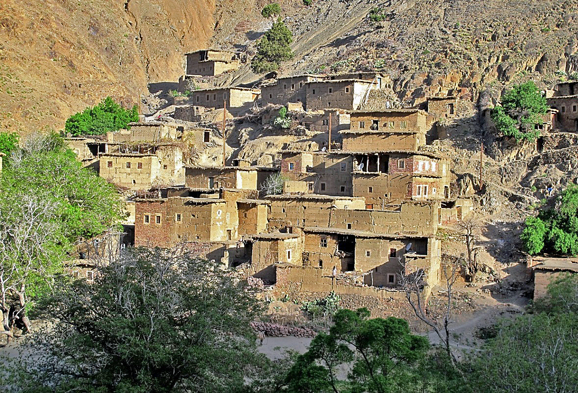
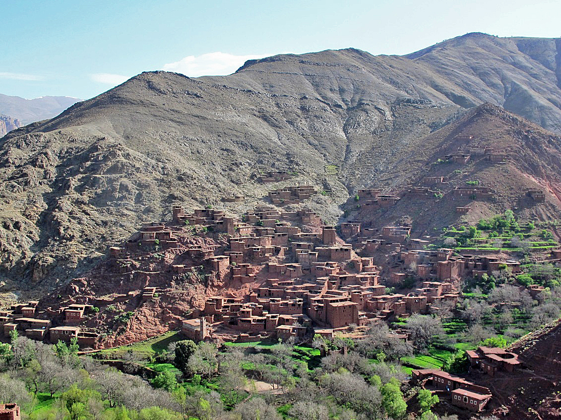
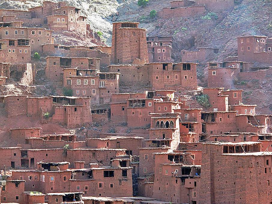
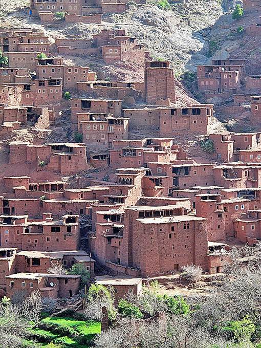
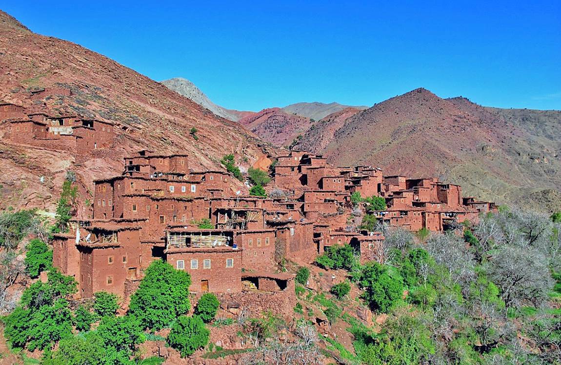
Megdaz, perhaps the most
beautiful village in the High Atlas.
|
|
|
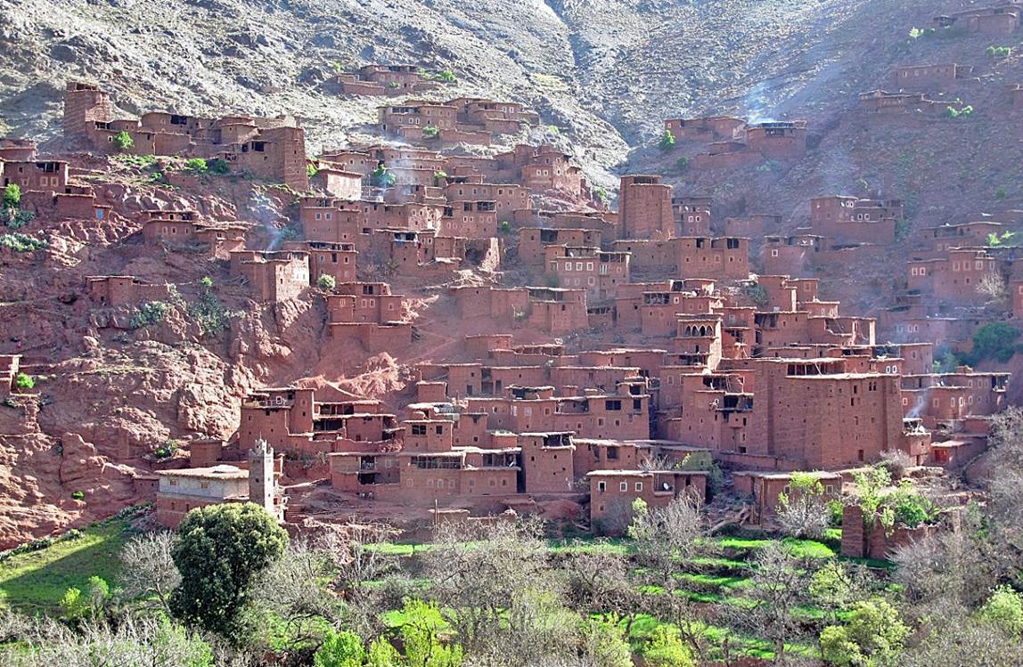
Megdaz is divided into two
main groups of houses. This is the western group on the other side of the
valley.
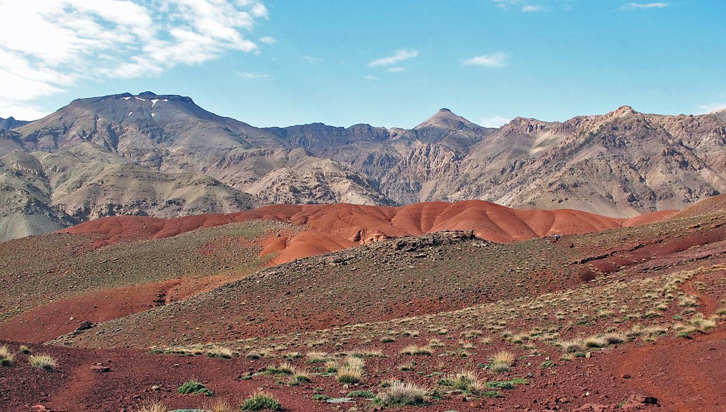
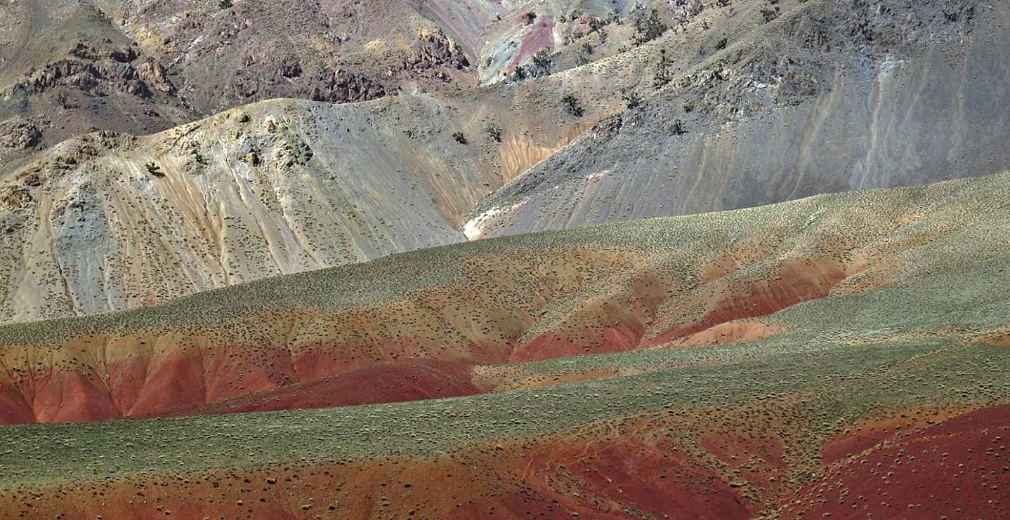
Colorful landscape
above Megdaz.
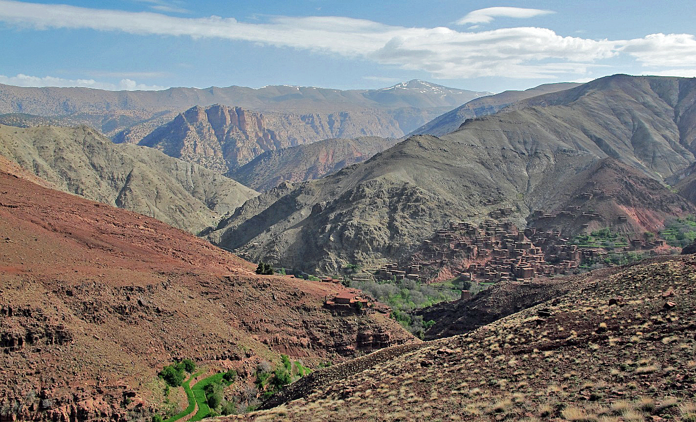
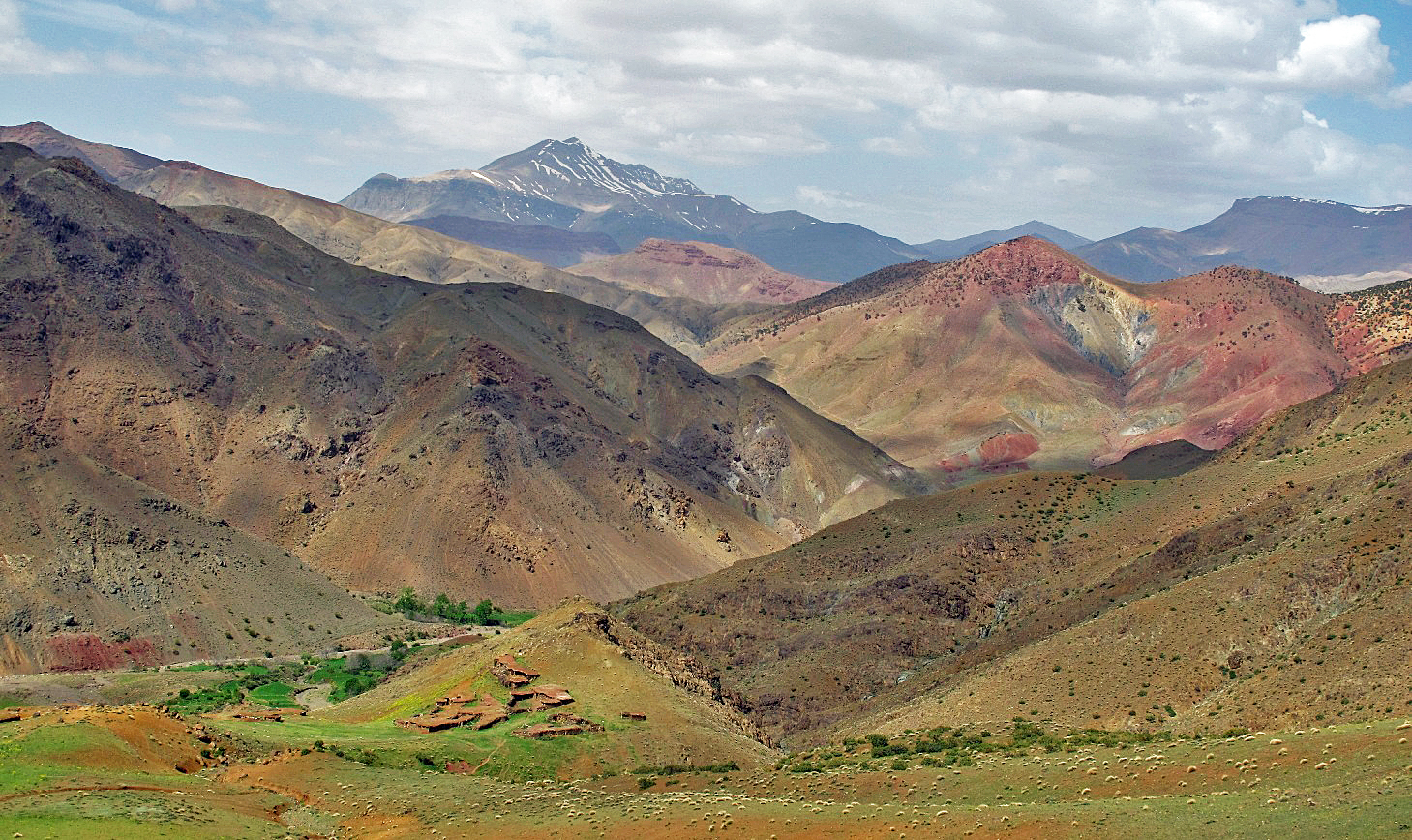
View toward the west
from Tizi Awrghiz (2454m), the pass between the
villages of Megdaz and Tagoukht.
The snowy peak in the background is Jebel Anghomar
(3610m).
![]()
Return
to main Atlas 2013 webpage | Go to sections: 1,
2,
3,
4,
5