Morocco (May-June 2016): 1. From Tabachirt
to Amassine
![]()
Return to main Morocco 2016 webpage
Oumar
and I went by car from Marrakesh to Tabachirt, where
we met our muleteers. We spent the night there at the ″Maison d‛Hotes″ (kind of guesthouse) and started
trekking on the next morning. Tabachirt is located in
the beautiful valley of Assif-n-Wamrane,
approximately 27km north-east of the town of Taliwine.
Topographic
and Google Earth maps of this section of the trek. Click here to see the complete full-resolution 100K topographic
map ″Taliwine″ (without annotations) that
covers this section of the trek and here
(.kmz file) to access all the waypoints and
placemarks in Google Earth. (Reminder: the green dots/markers are campsites.)
|
|
|

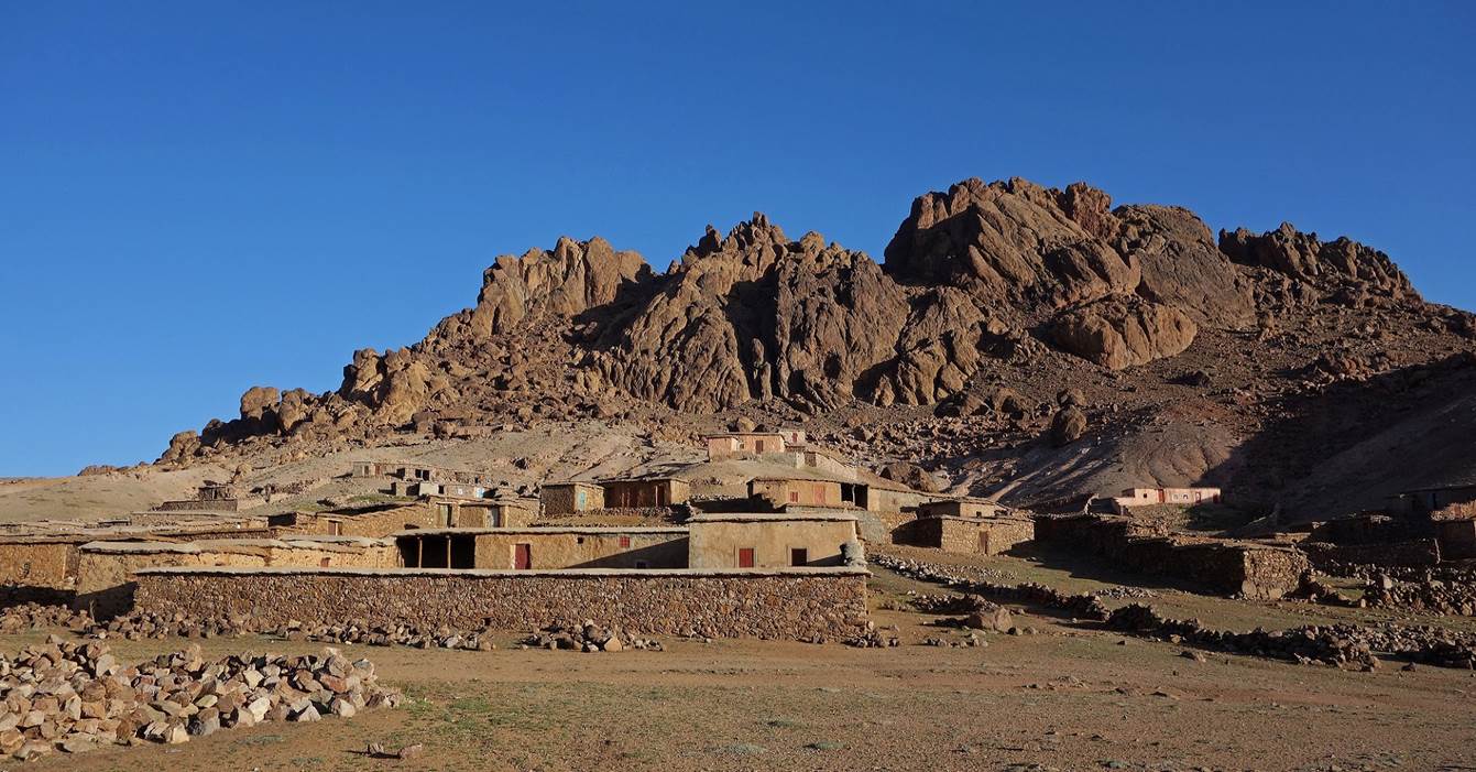
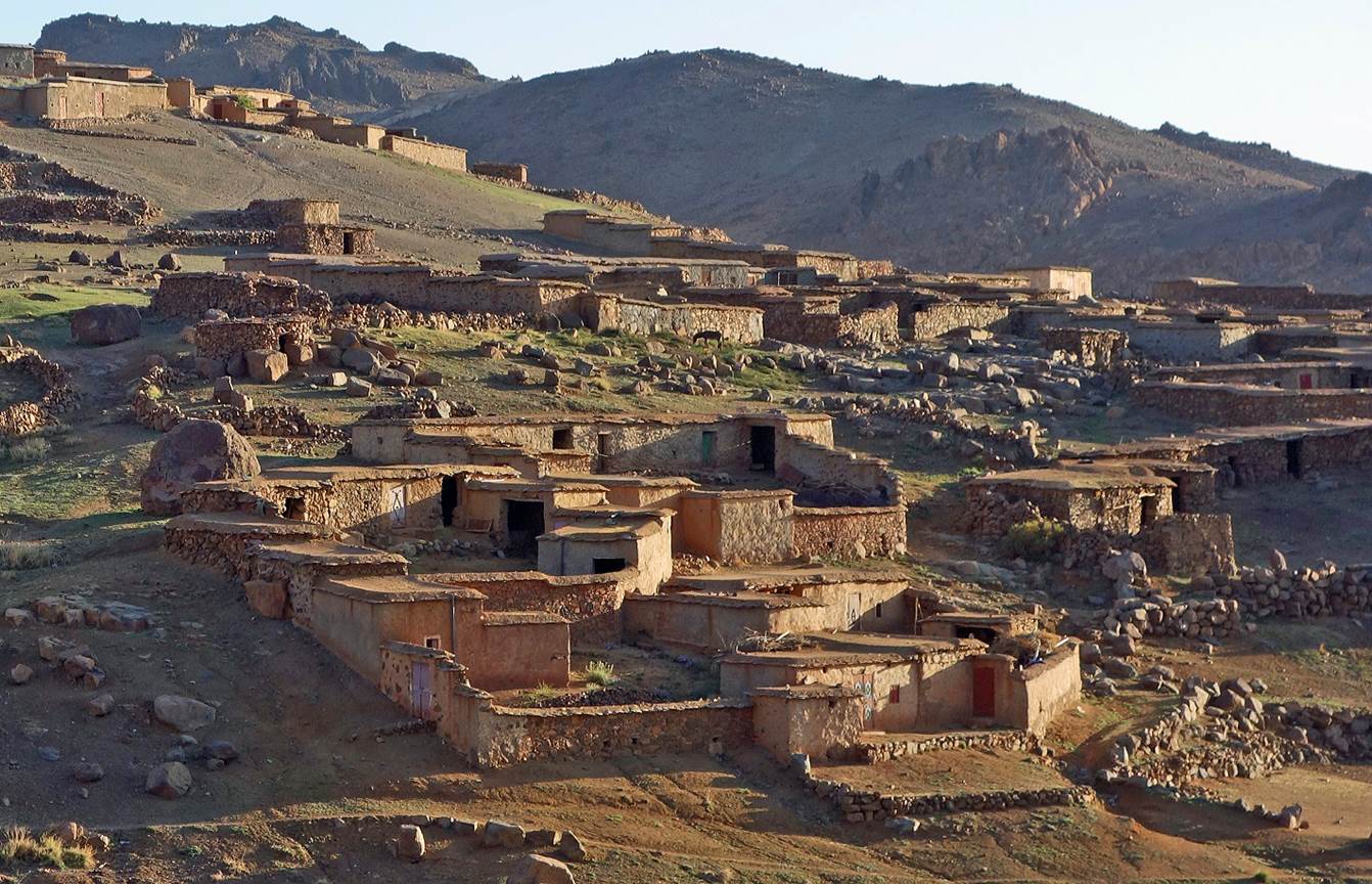
Village
of Tj-n-Iddr, located 1.5km
south of Tabachirt, in the same valley.
Start
of the trek at the Maison d‛Hotes in Tabachirt (WP 01-01).
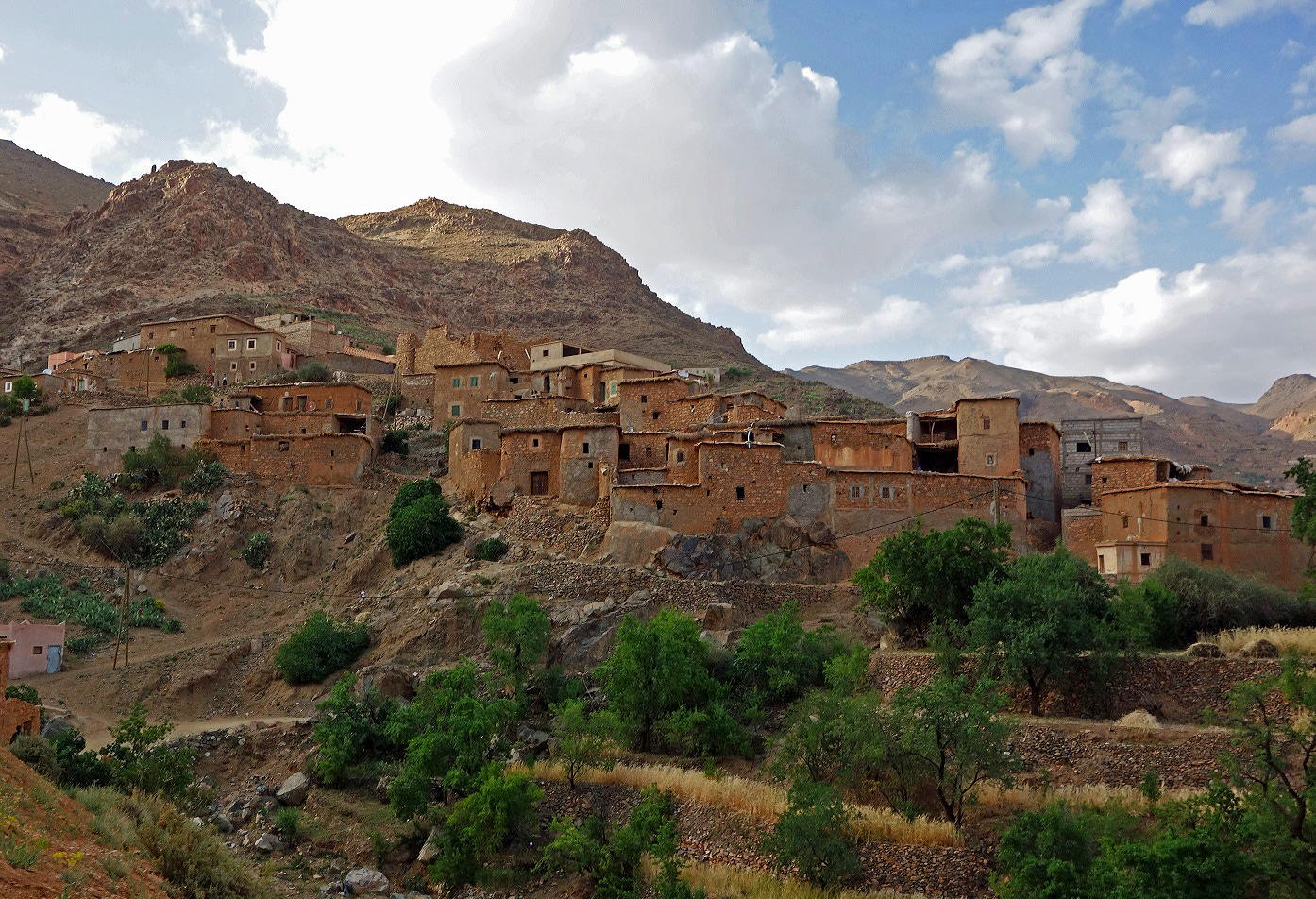
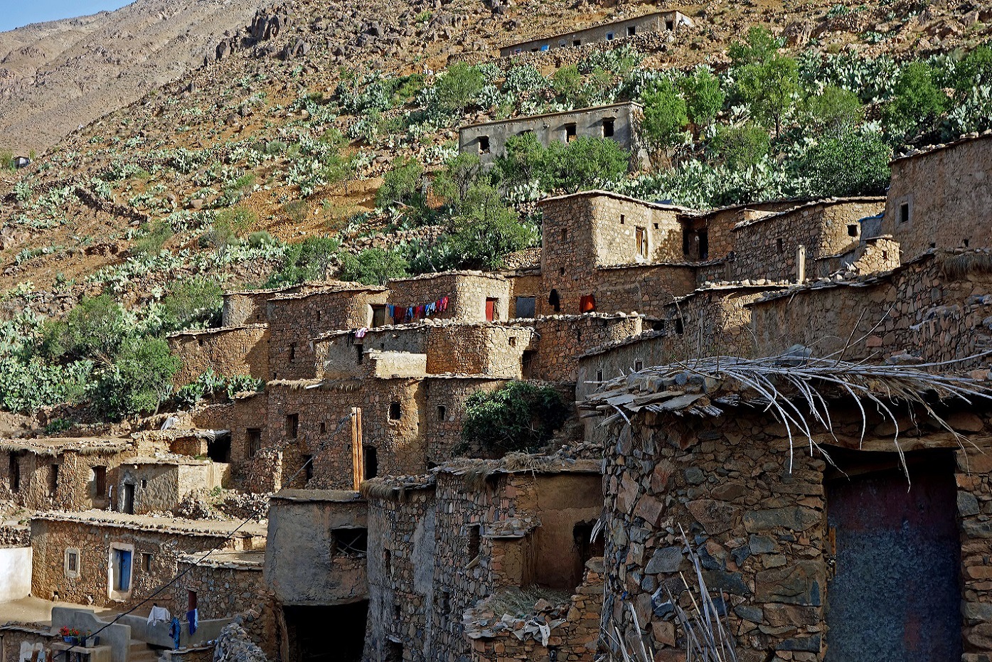
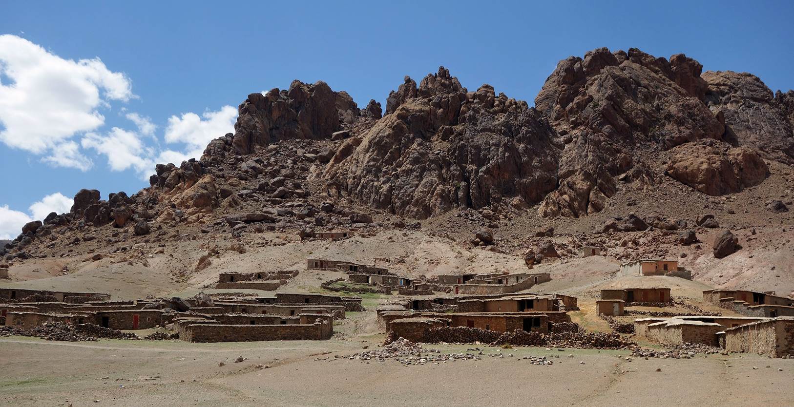
Village
of Atougha, a short distance north of Tabachirt. (The
photo was taken from the Maison d‛Hotes.)
Houses
in Atougha.
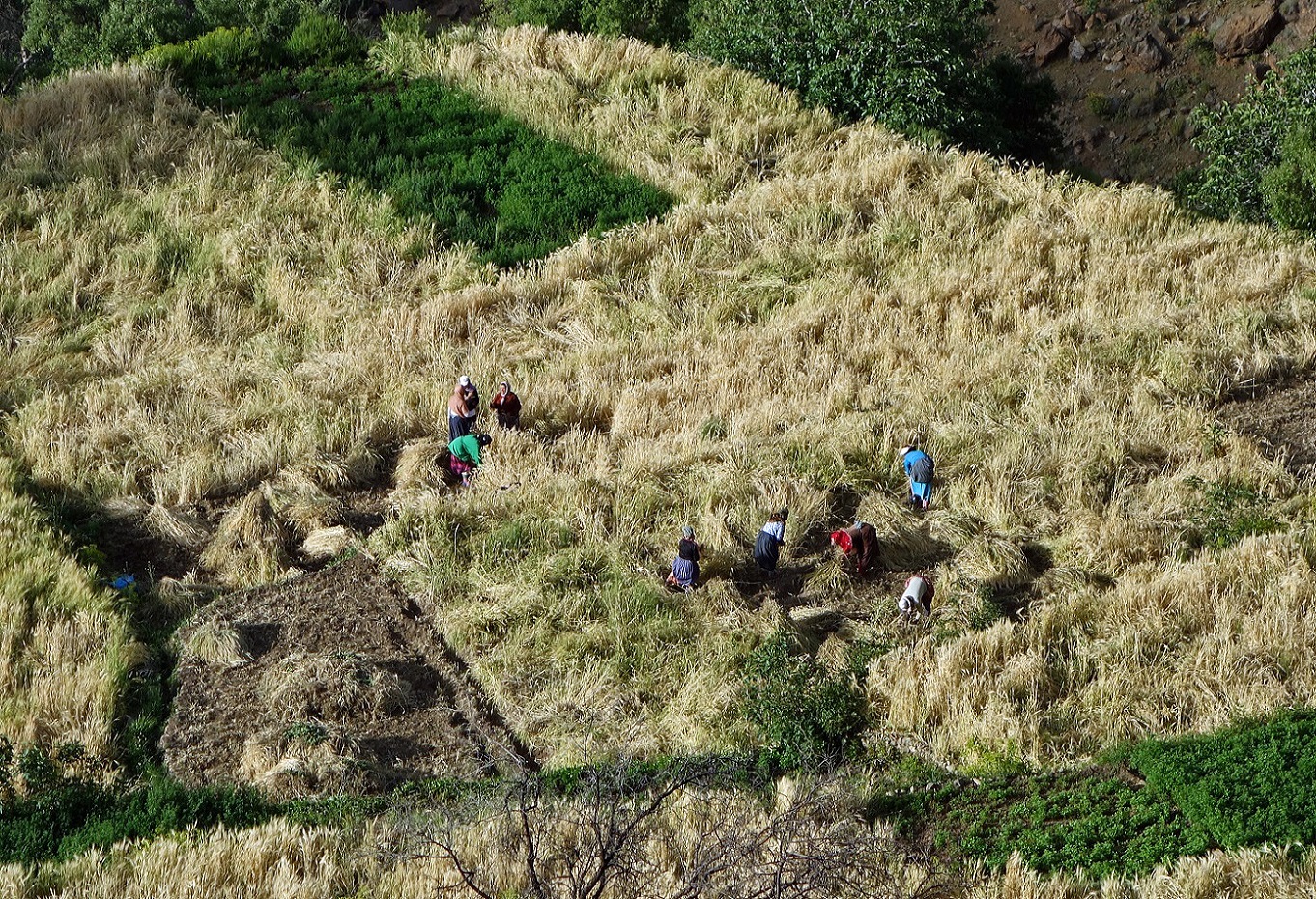
Women
working in the fields near Atougha.
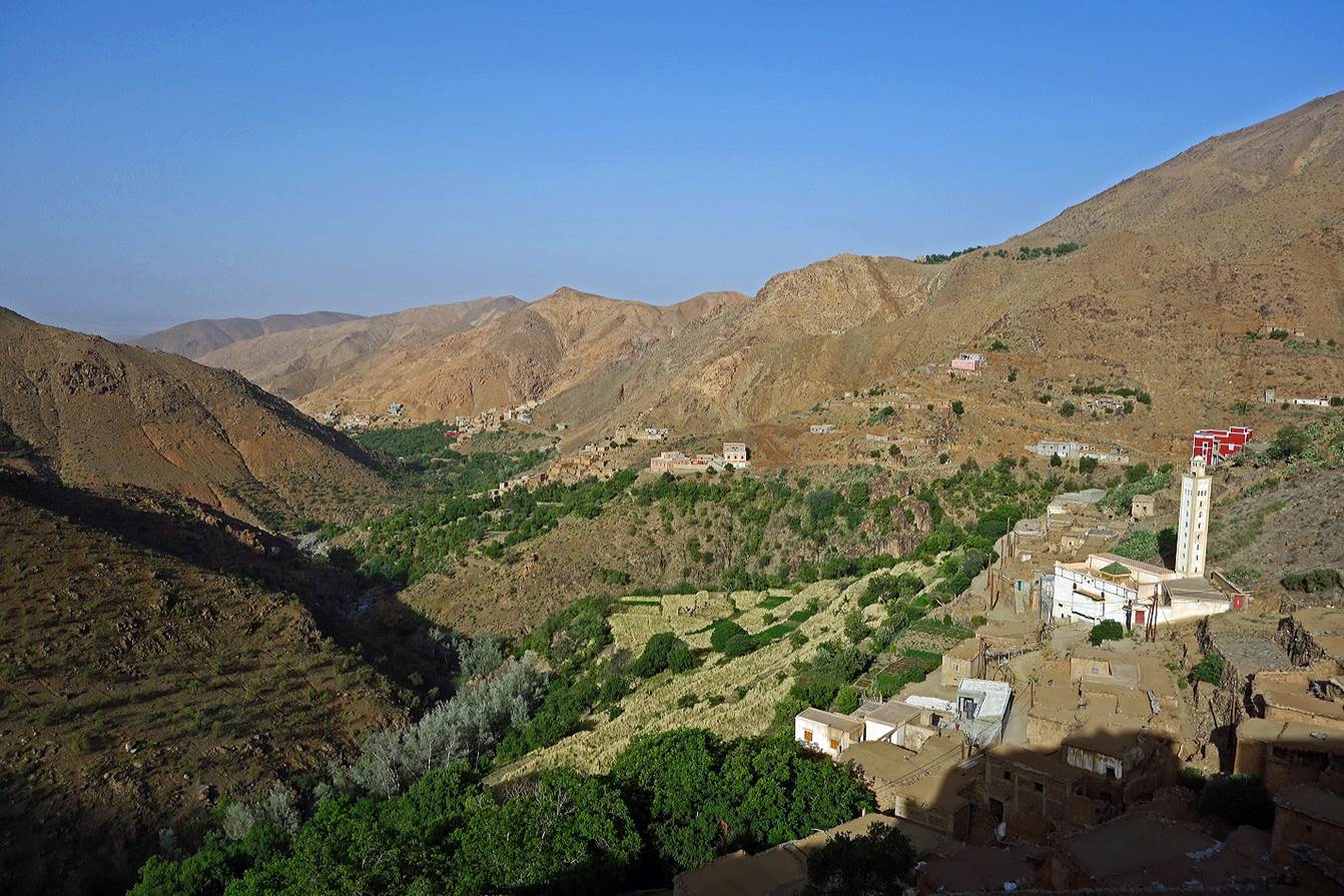
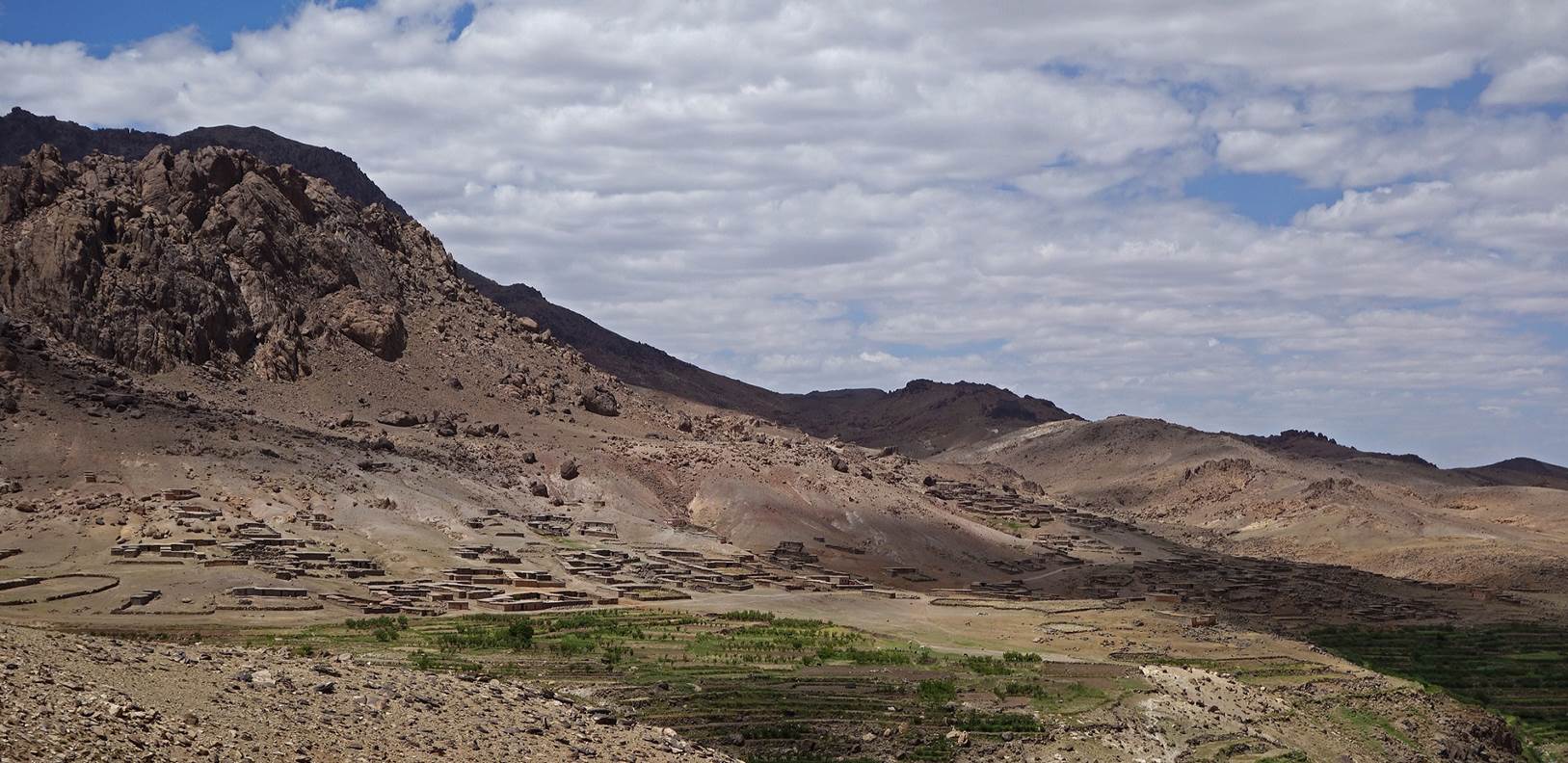
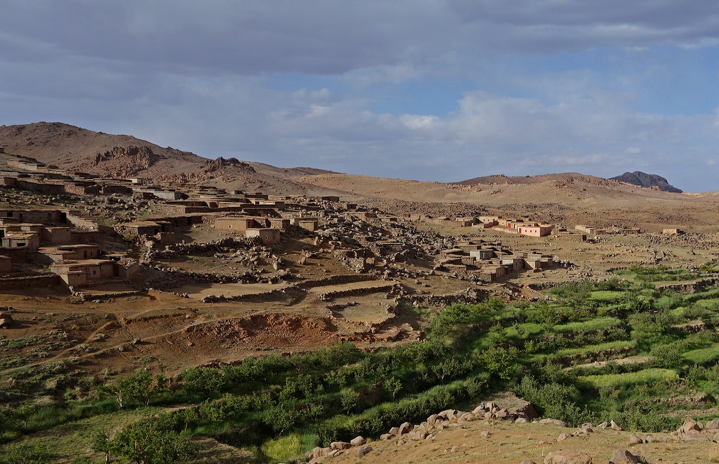
Valley
of Assif-n-Wamrane, with Atougha at the bottom-right corner of the photo and Tj-n-Iddr near the center.
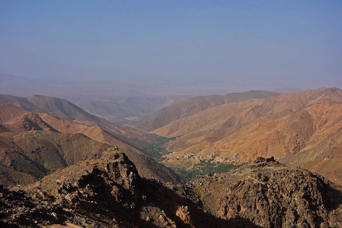
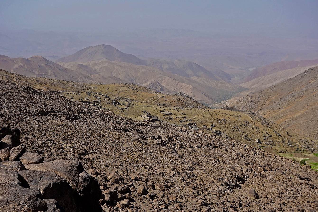
Another
view of the valley of Assif-n-Wamrane from a higher location. The Sahara desert
lies not far away in the background. A ruined observation post is visible on
the rocky hill on the right. It was used in the past to spot raids (razzias) by
Berber tribes coming from the Sahara.
Another
view from an even higher location.
As
we were going up, the terrain became more typically volcanic and increasingly
austere.
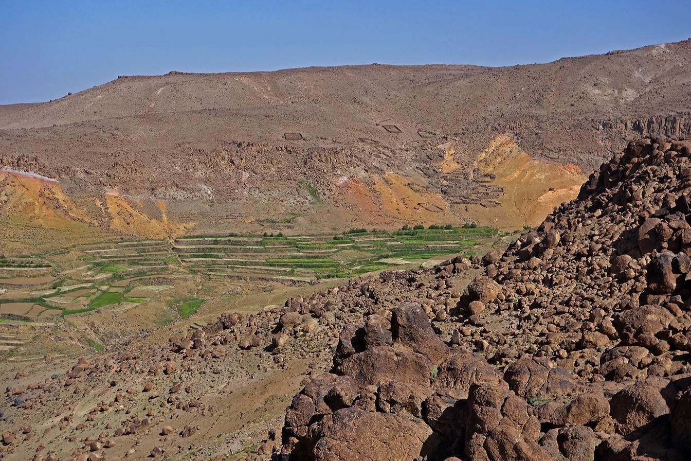
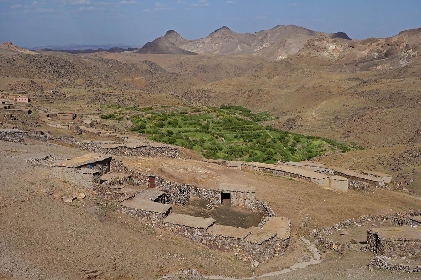
Nevertheless,
thanks to water springs, there were cultivated terraces and sheepfolds in a
small valley at a short distance from the trail.
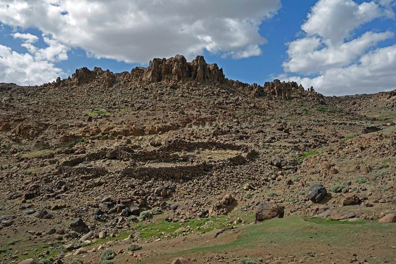
We
set our first campsite (WP 01-06) near a small spring, east of Jebel Talzouggaght.
Dry
stone sheepfolds near our camp.
|
|
|
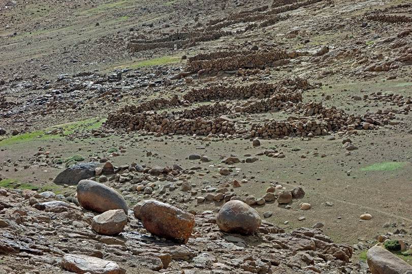
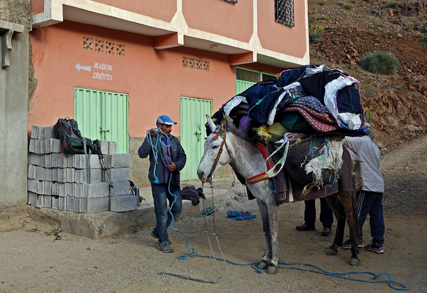
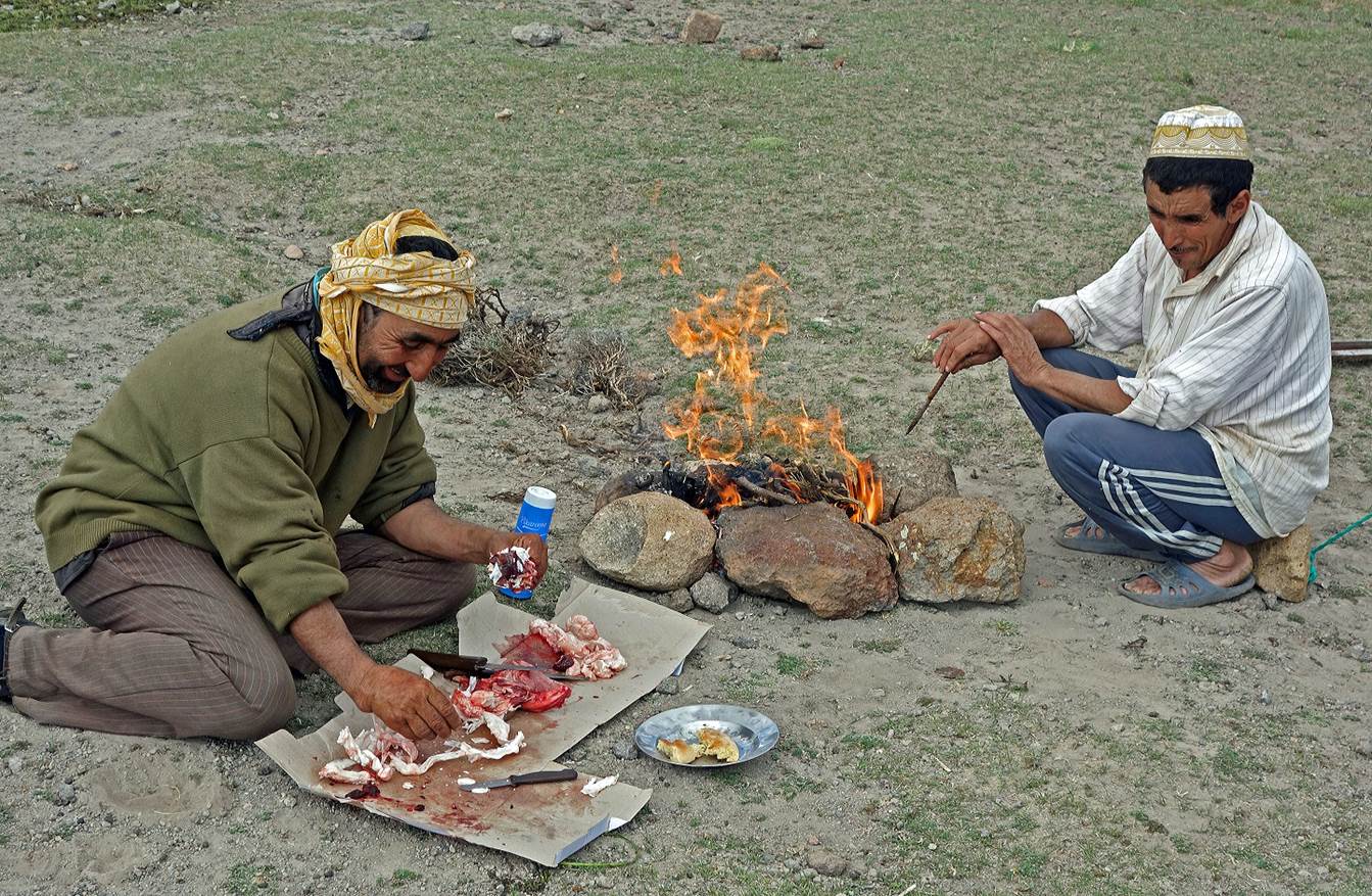
On that first evening we bought a small goat from local
herders and we shared kebabs with them.
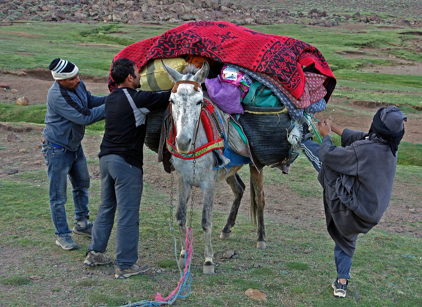
Loading
the mule on the next morning. A mule can carry up to 150kg. A good mule costs
between 1,500 and 2,000 Dirhams (approximately US$150-200).
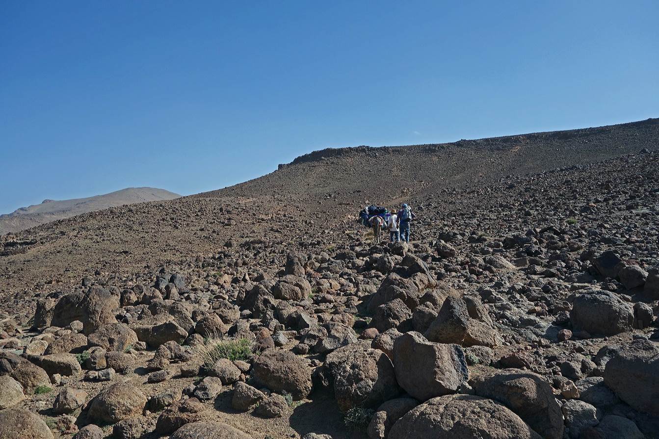
Our
path soon entered an area of many volcanic outcrops.
View
toward the north-west, with the High Atlas range visible in the background. The
sharp peak at the center of the photo is Jebel Toubkal (4167m) and the snowy
peak on its left is Jebel Ouanoukrim (4088m). Jebel Toubkal is also visible on
the left-hand side of the previous photo.
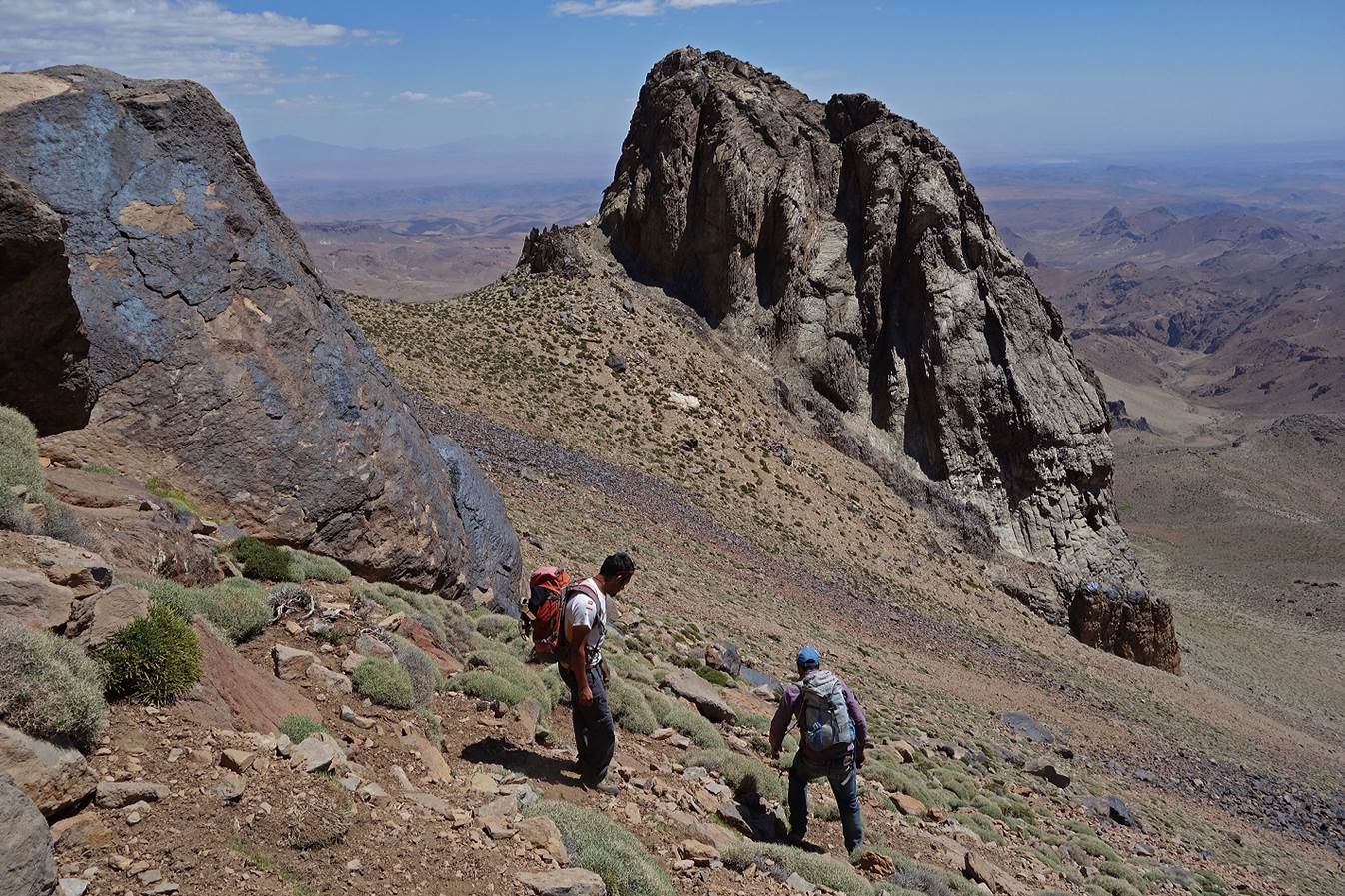
We
climbed toward Jebel Sirwa on its western flank.
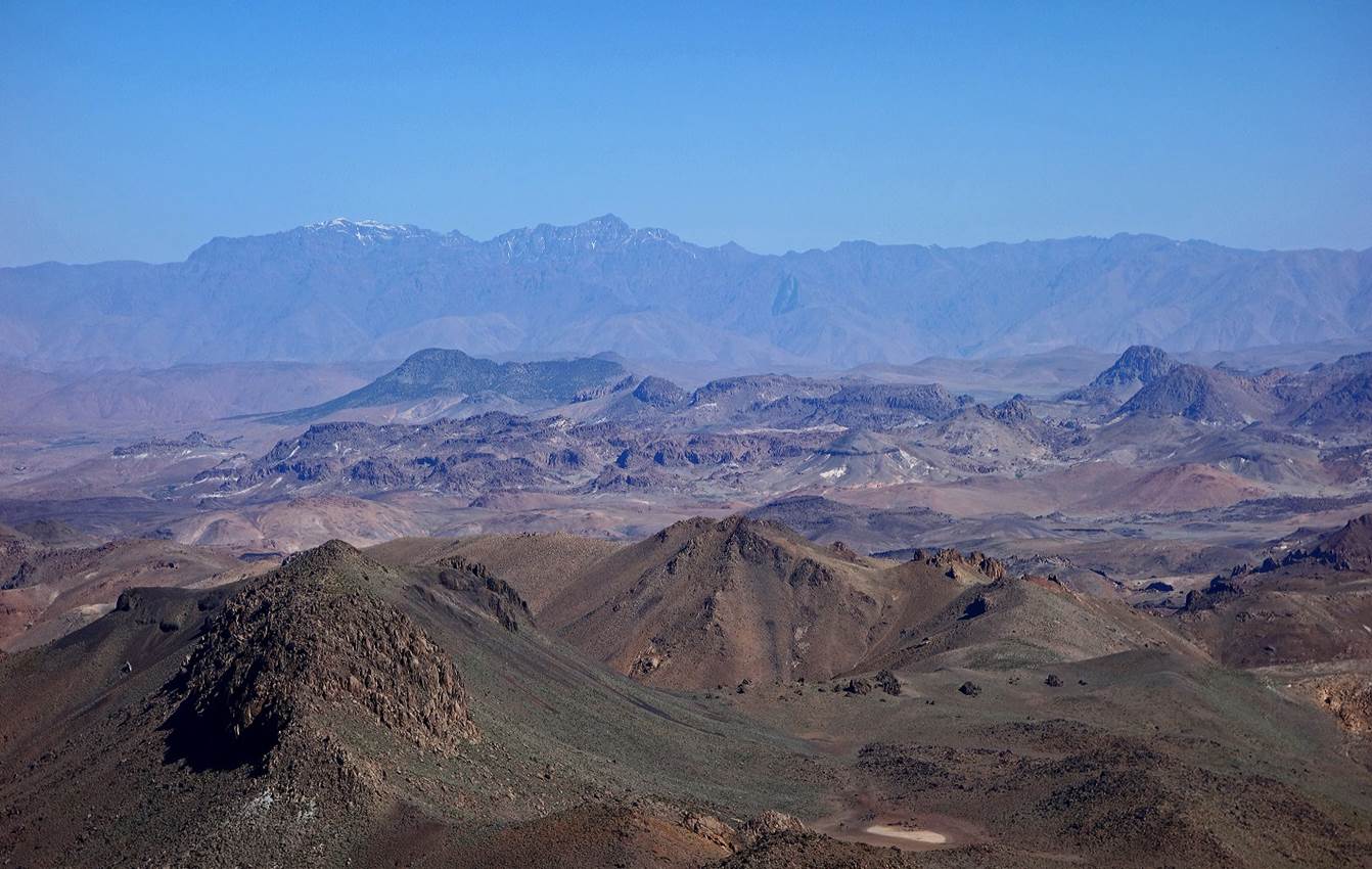
Successive
views of Jebel Amzdour (the rock bar in the middle of the first photo, 3002m)
and Jebel Tikniwine (the two volcanic buttes), located north of the Sirwa
summit. In Berber language, Tikniwine means ″twins″. Only one of
the two twins is visible in the third photo below.
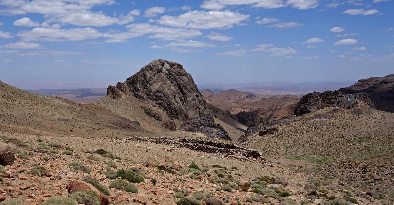
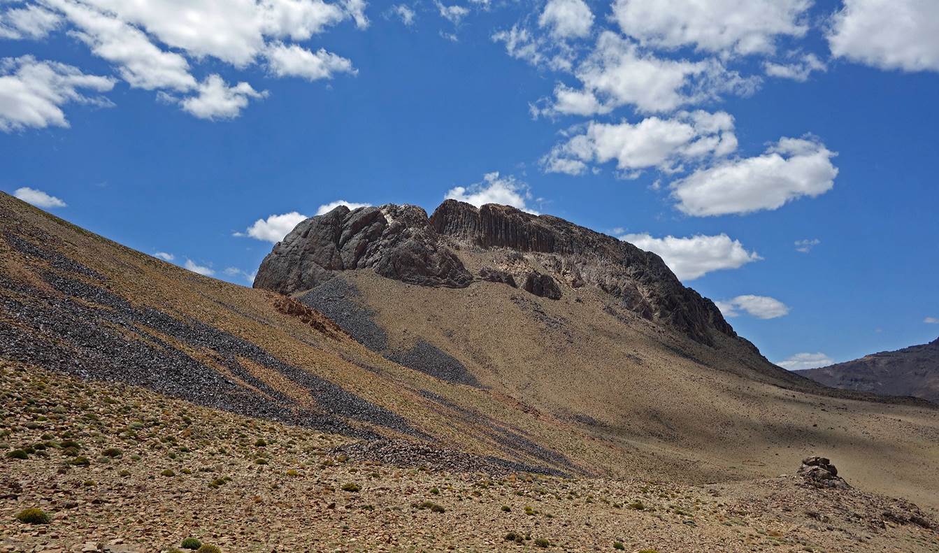
Three
views of the Sirwa summit (3305m). We did not climb the approximately 50m
summit cone.
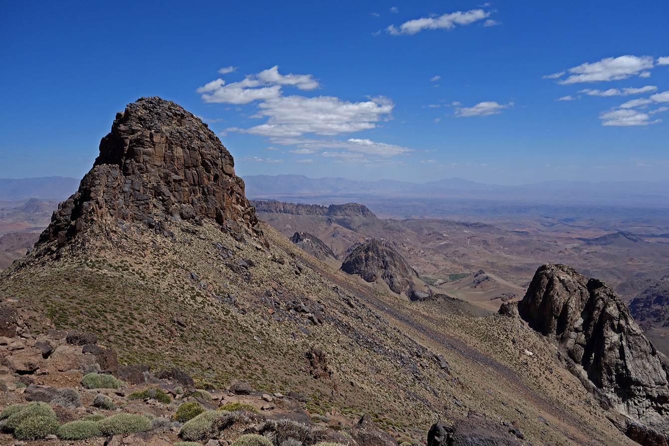
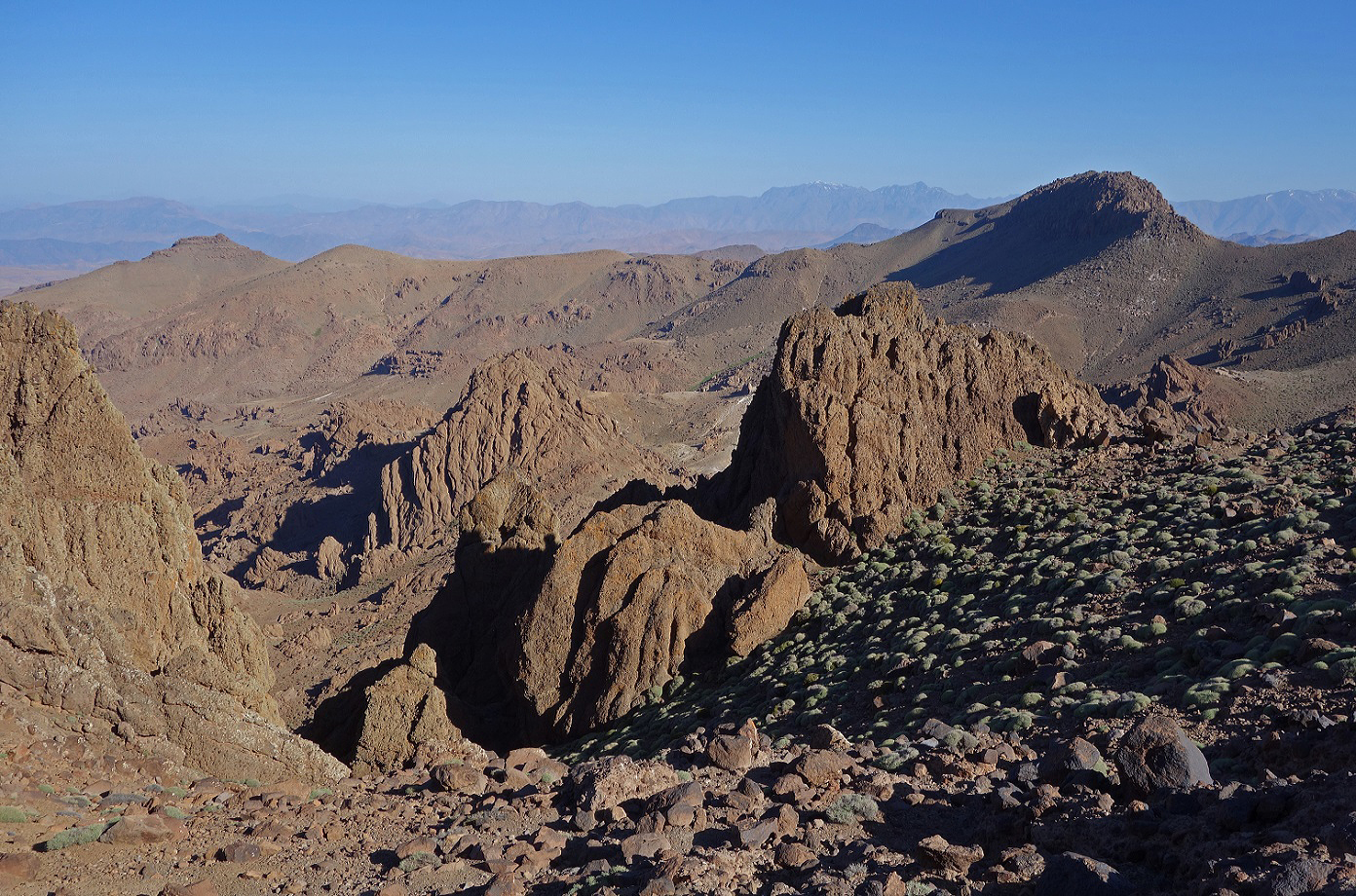
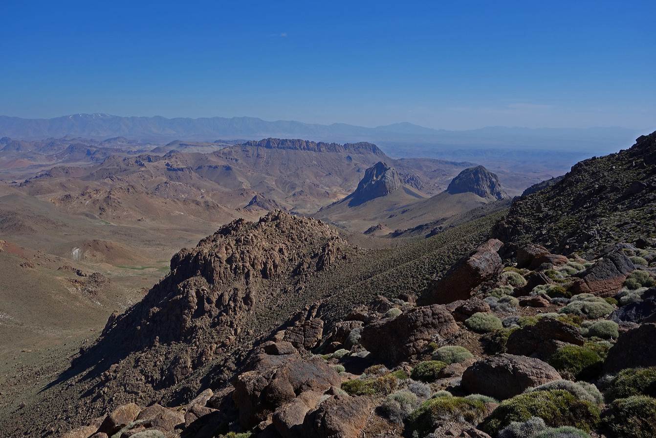
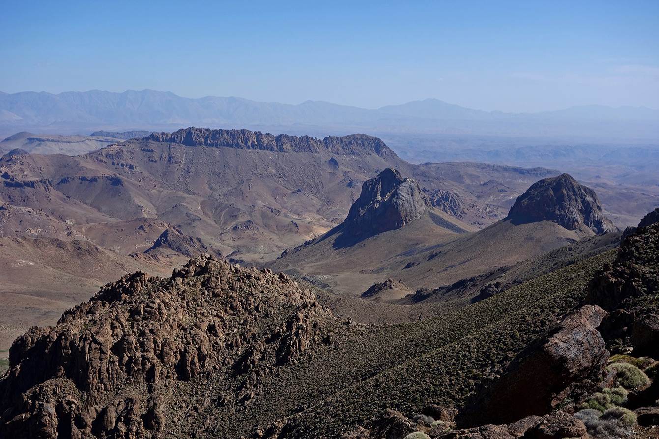
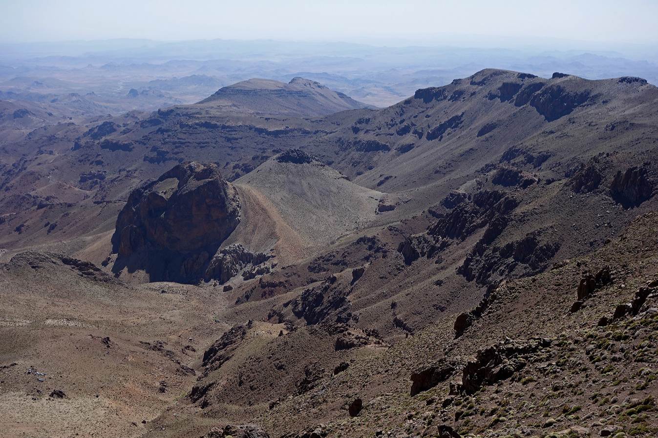
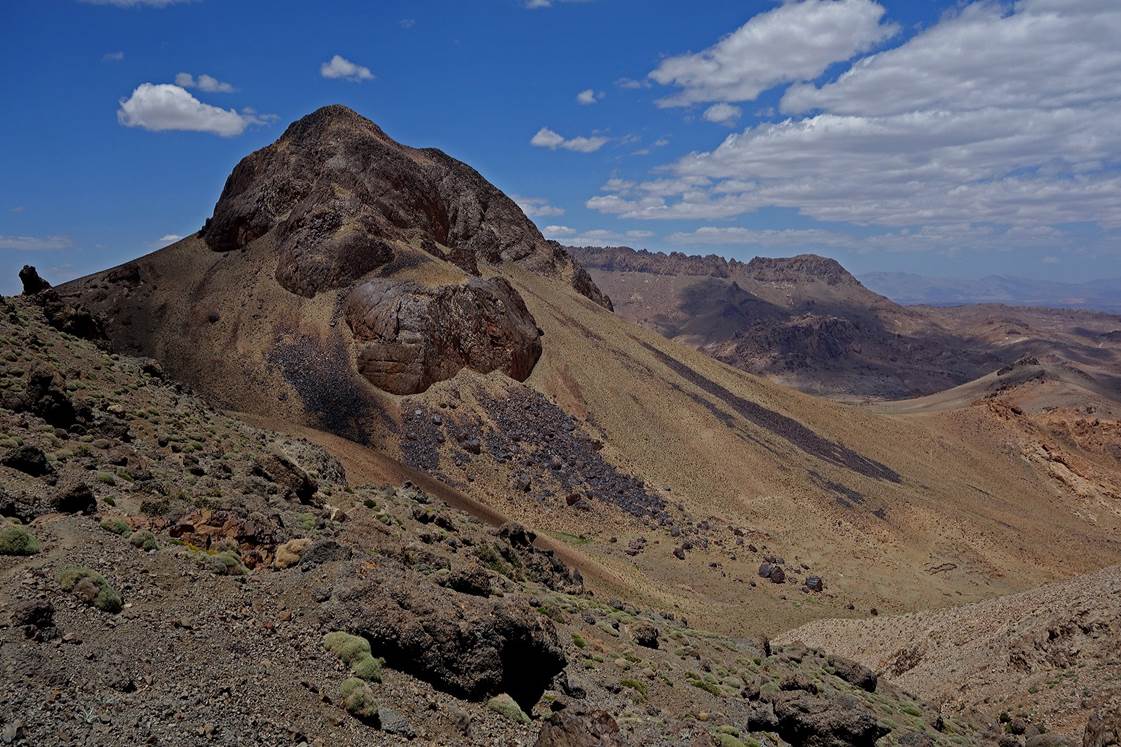
Three
views of surrounding scenery toward the north-east, taken from different
locations on the southern ridge of the Sirwa summit. Note the two large dark
volcanic outcrops in the first photo (one on the left, the other at the
center-right). During the descent we will first head east, pass on the right of
the first outcrop and then on the left of the second. From the second outcrop
our path will head north toward Azib-n-Iriri.
View
toward the south-east from the ridge.
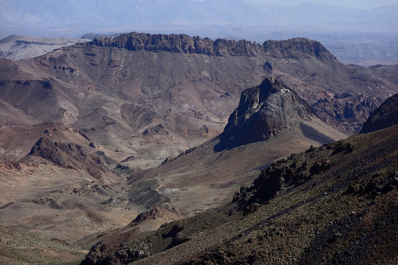
Beginning
our descent on the eastern side of Sirwa. (Our mule had followed an easier
itinerary toward Azib-n-Iriri.)
Below
the first outcrop, with the summit cone of Jebel Sirwa on the left.
Reaching
the second outcrop.
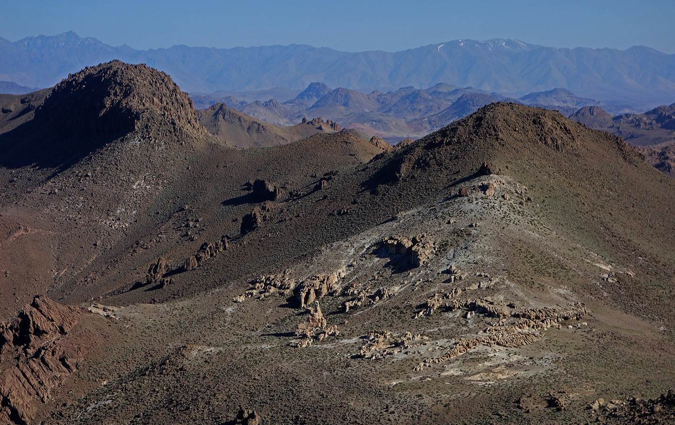
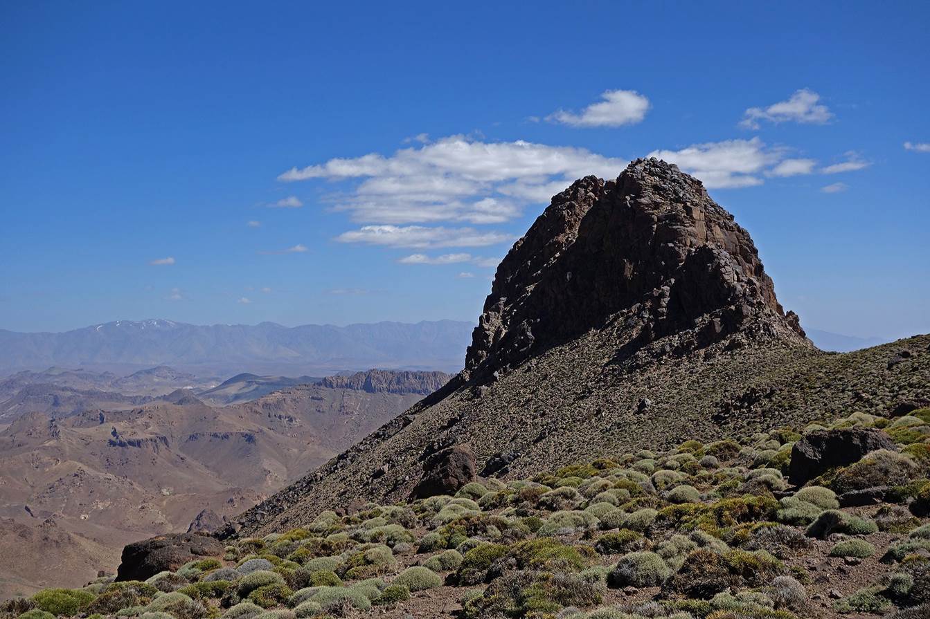
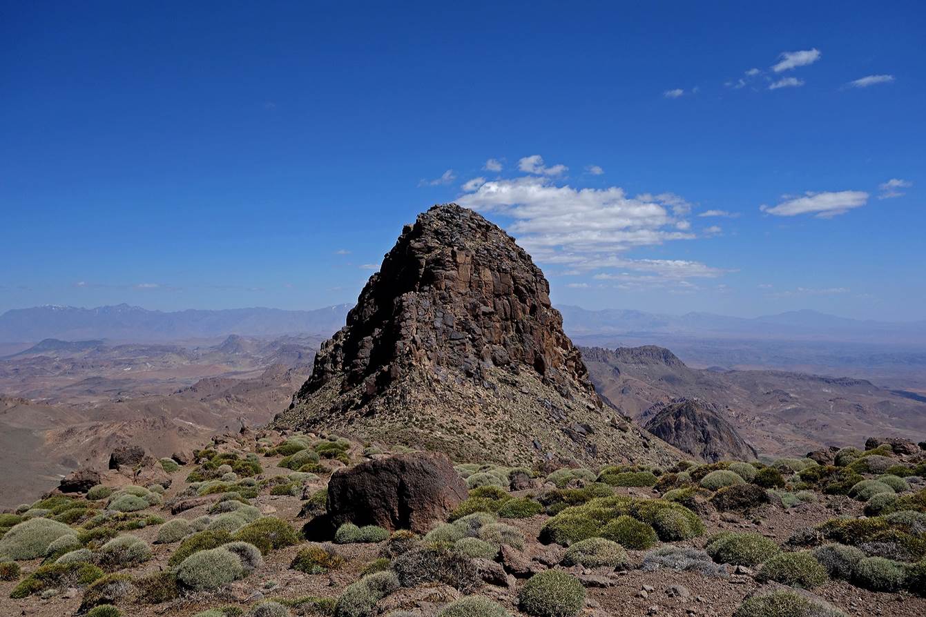
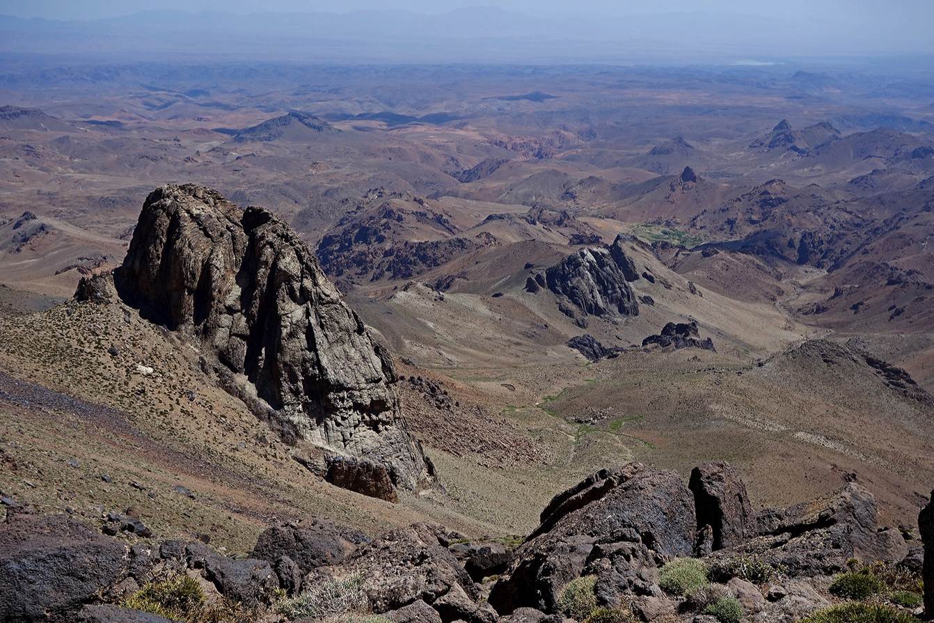
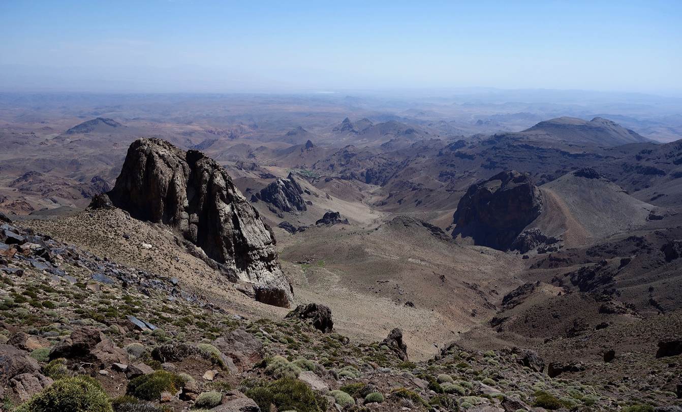
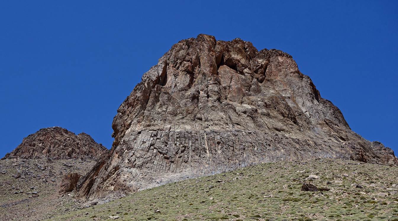
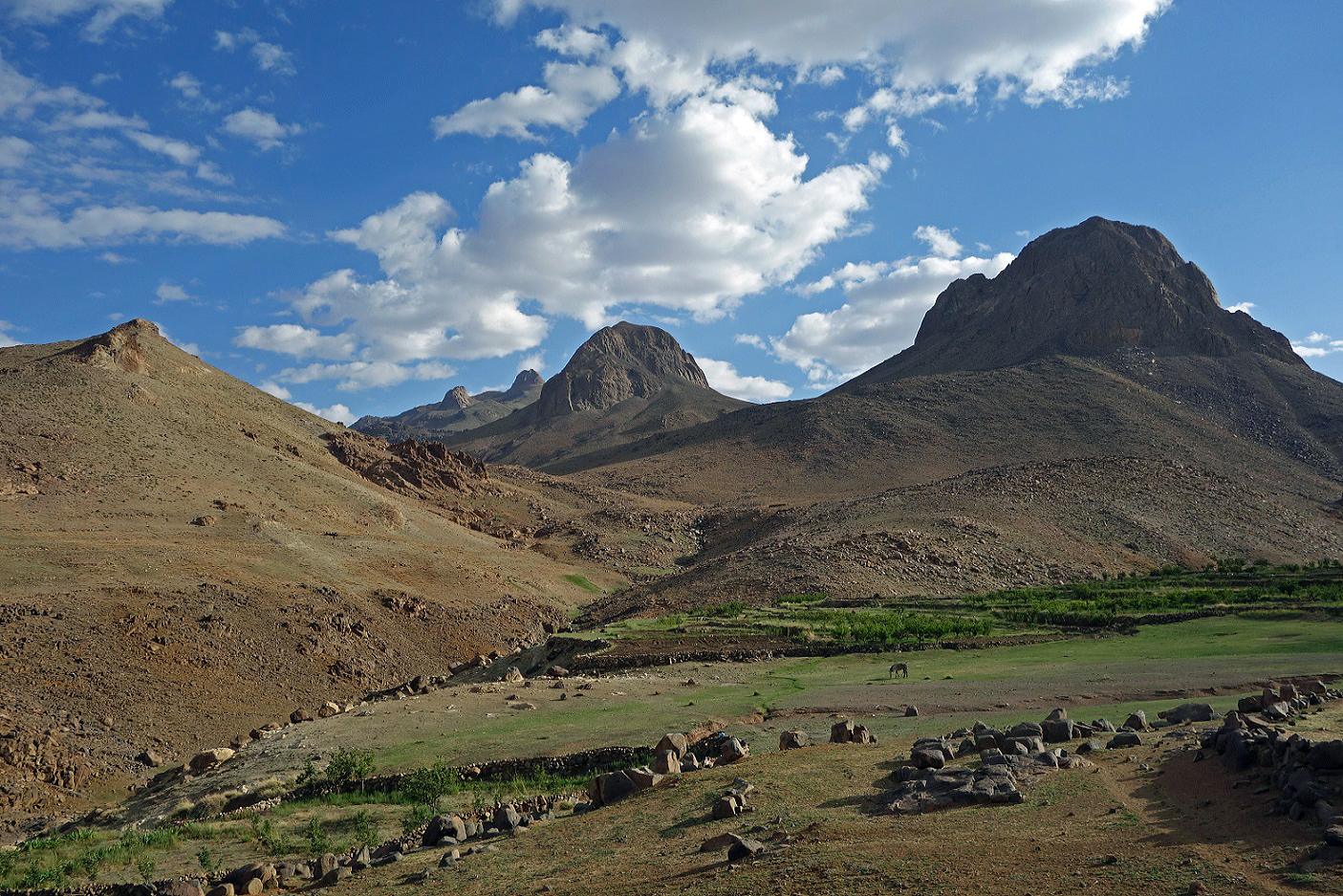
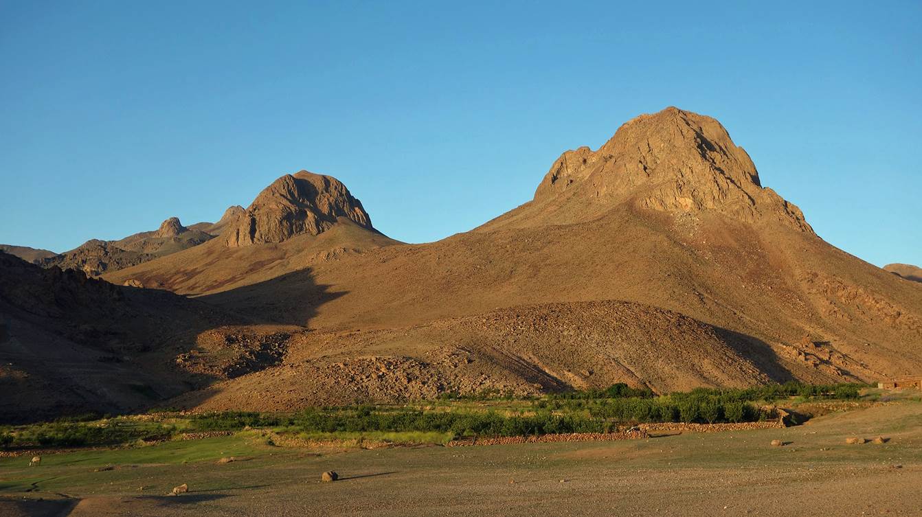
Views
of the southernmost Tikniwine butte (2952m) as we were heading north toward
Azib-n-Iriri. Jebel Amzdour is also visible in the
background.
|
|
|

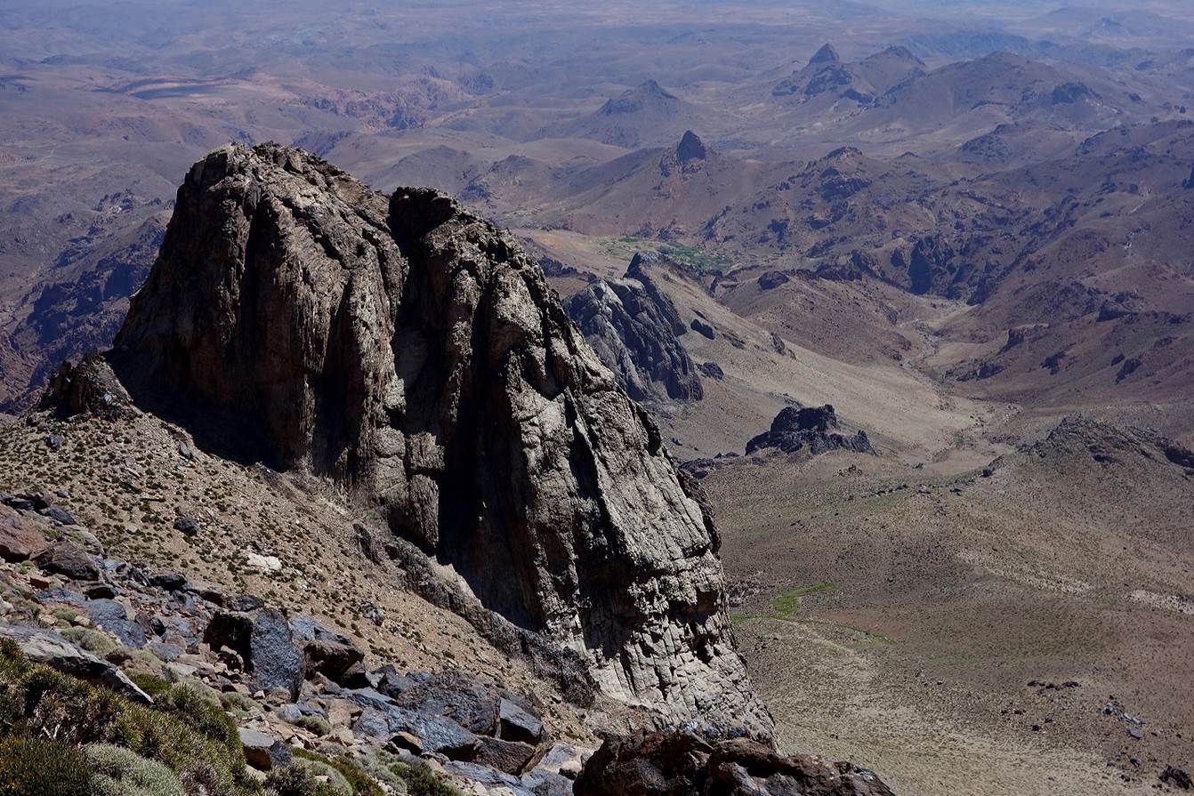
View
of the northernmost Tikniwine butte (2907m).
View
toward the north-east from approximately the same location.
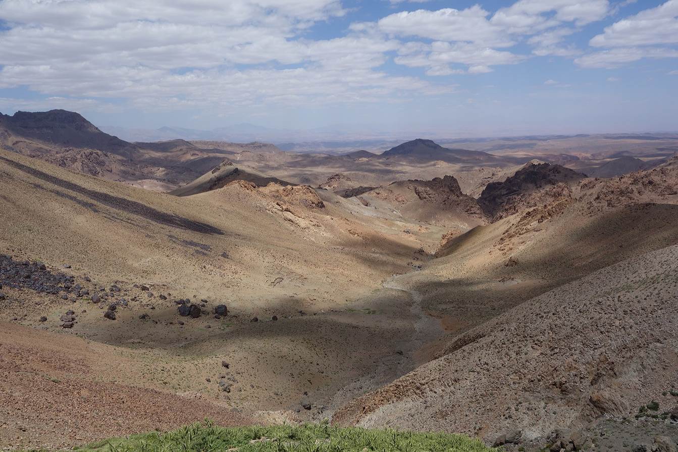
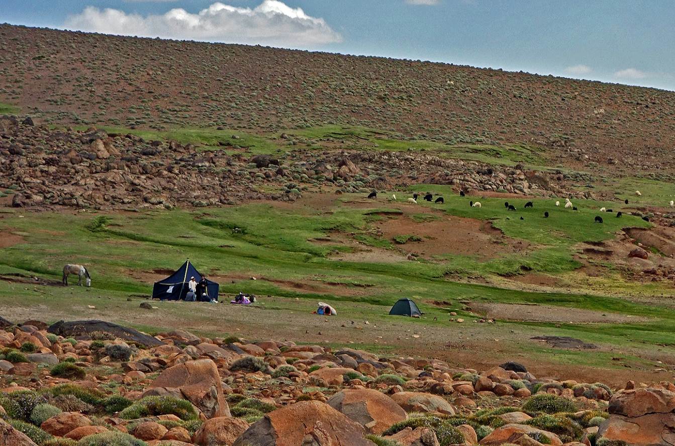
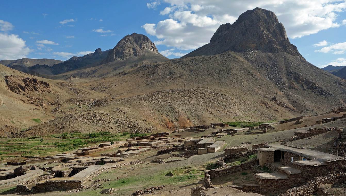
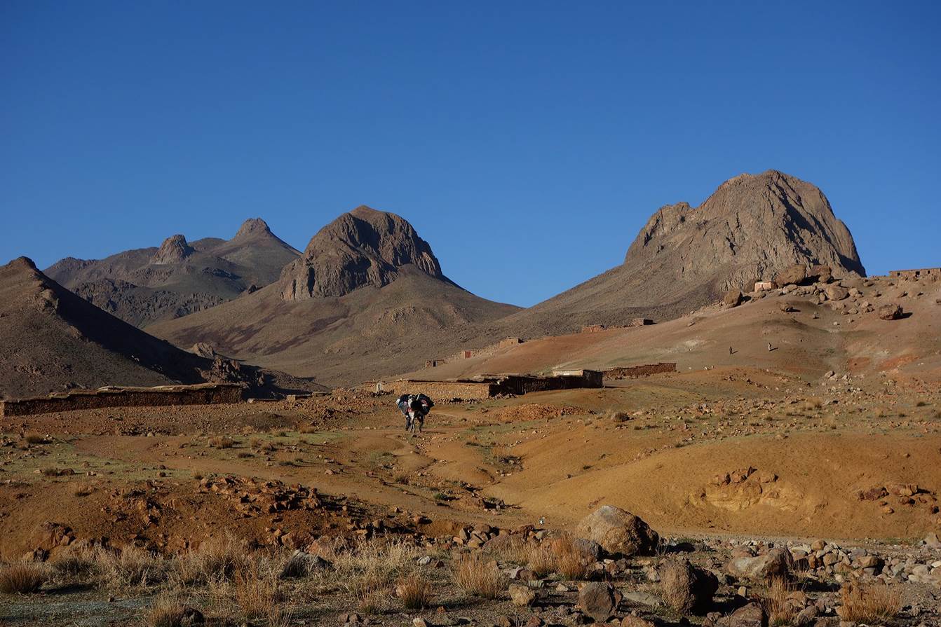
Reaching
Azib-n-Iriri, located below Jebel Amzdour. This large group of azibs was almost
empty of people when we got there. Hundreds of people from the village of Amassine (and other nearby villages) were expected to move
here with their livestock (sheep and goats) a couple of weeks later, after
having harvested their fields at lower elevation, to spend the summer months.
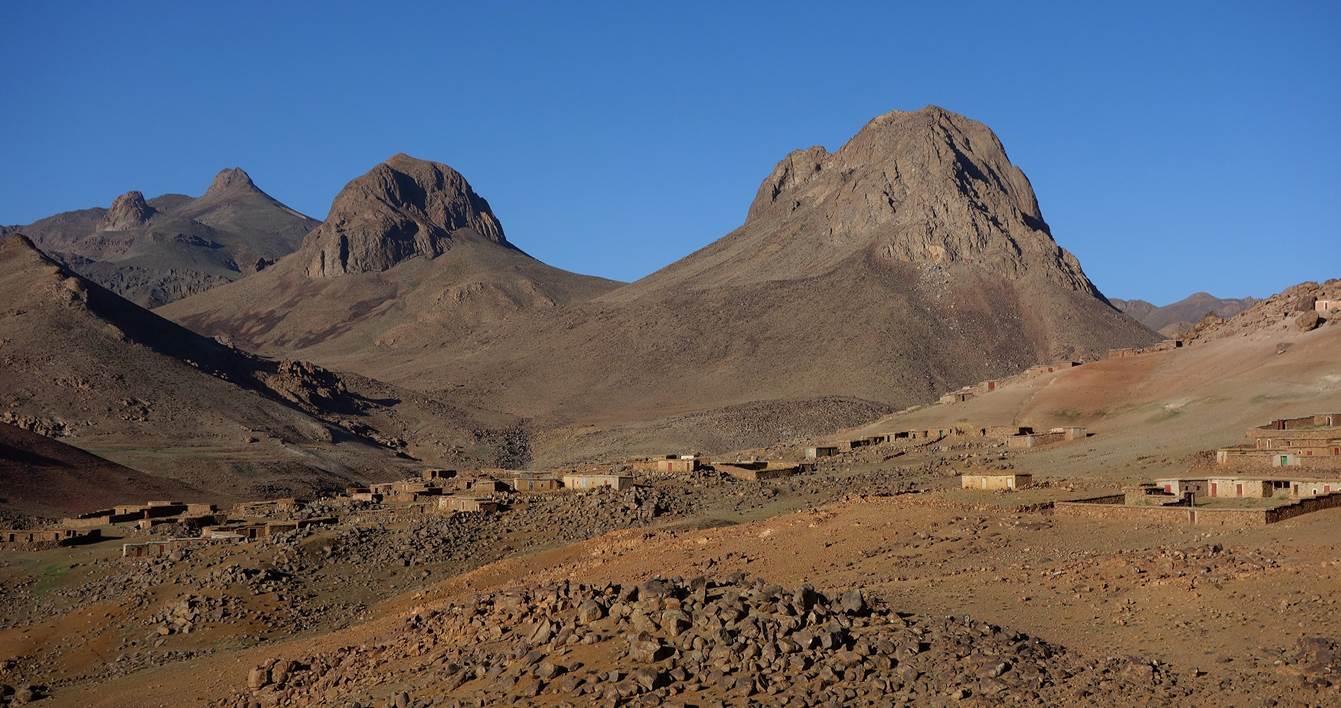
Azibs
in Azib-n-Iriri (WP 02-07). I took some photos in the
evening and some on the next morning.
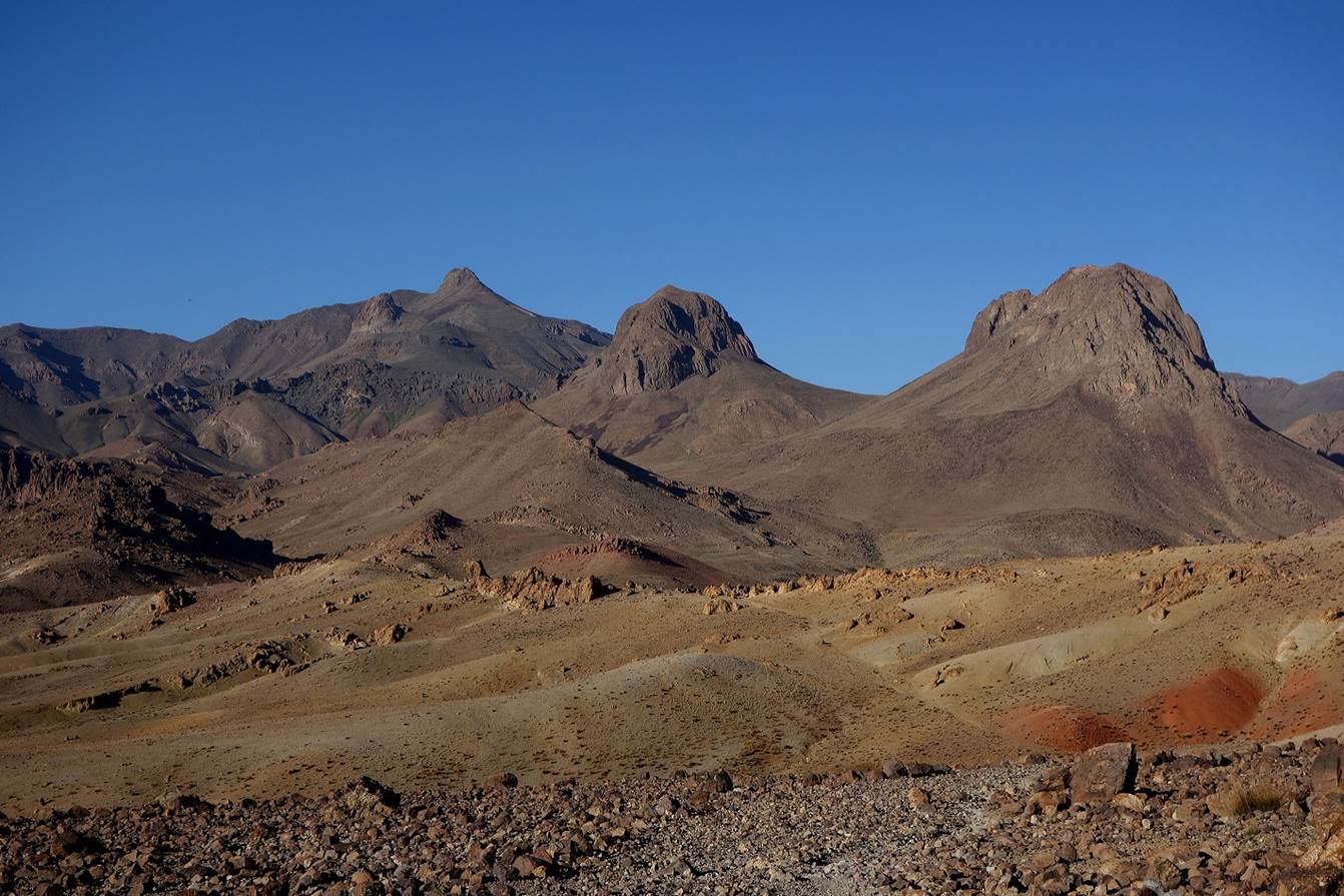
Looking
back at the two Tikniwine buttes from Azib-n-Iriri. The summit cone of Jebel Sirwa
is hidden by the southernmost Tikniwine butte in the first photo, but is
visible in the second photo below.
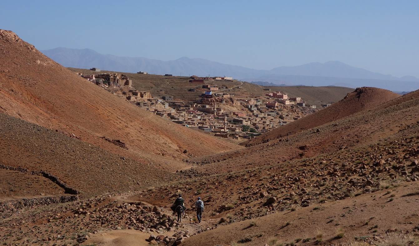
Leaving
Azib-n-Iriri on the next morning toward the village of Amassine. The sky was
cloudless and the morning light was beautiful.
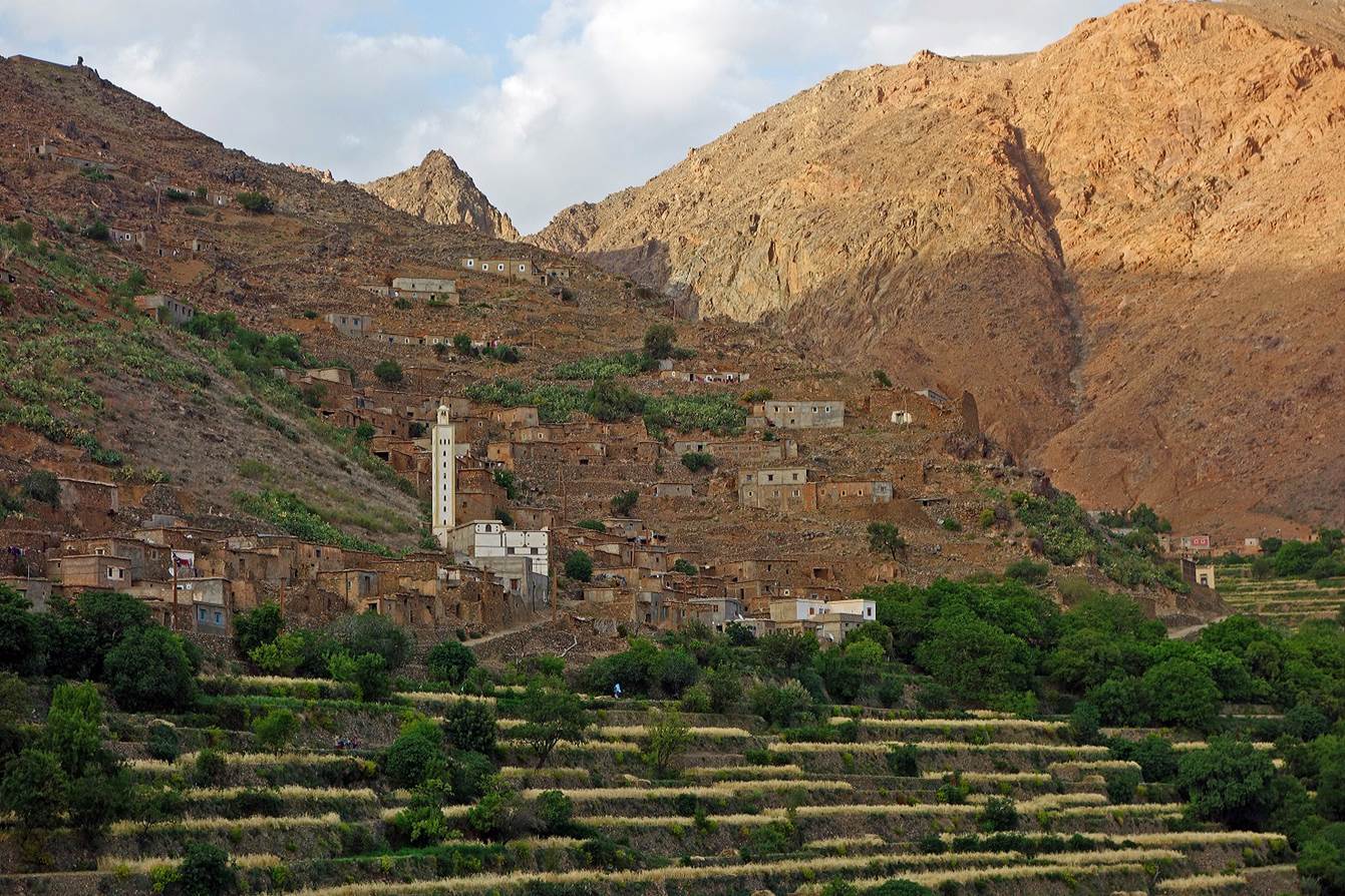
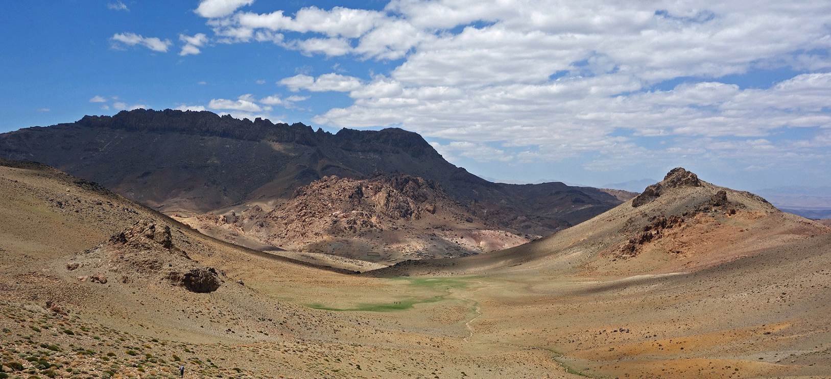
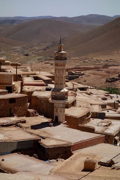
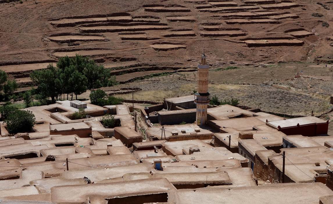
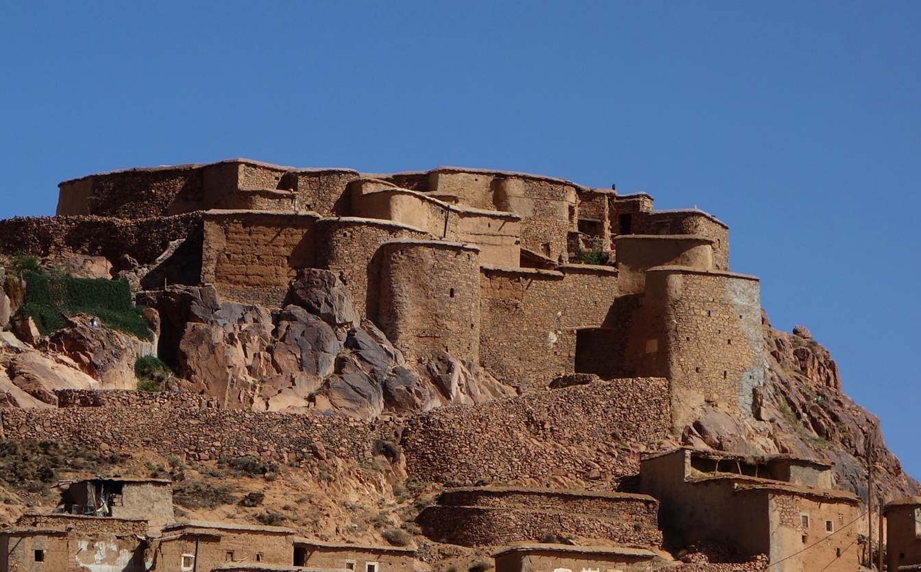
Reaching Amassine.
This relatively large village is built in a depression and is dominated by an
impressive collective granary. The village is famous for the making of
long-pile carpets.
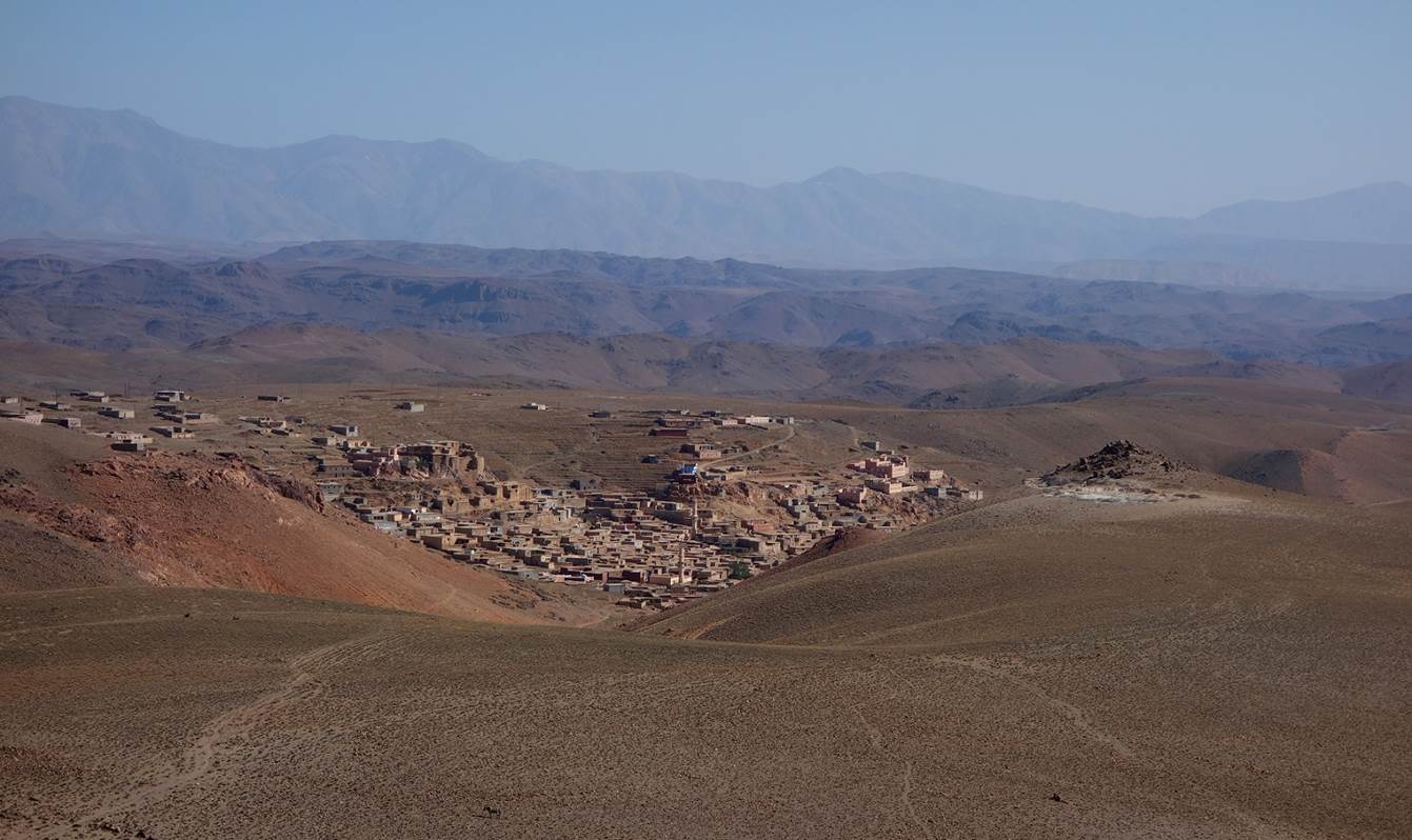
General view of
Amassine.
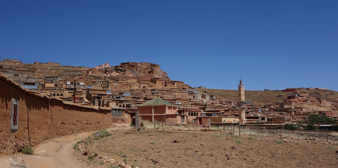
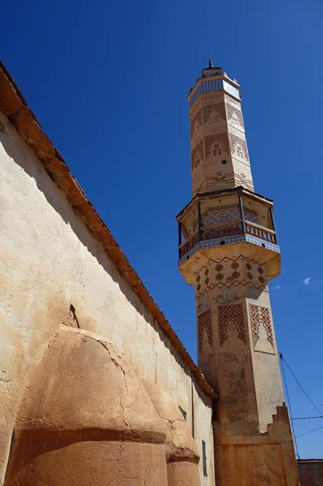
Minarets of Amassine.
|
|
|
|
|
|
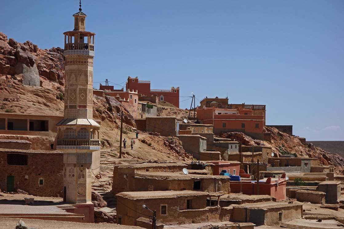
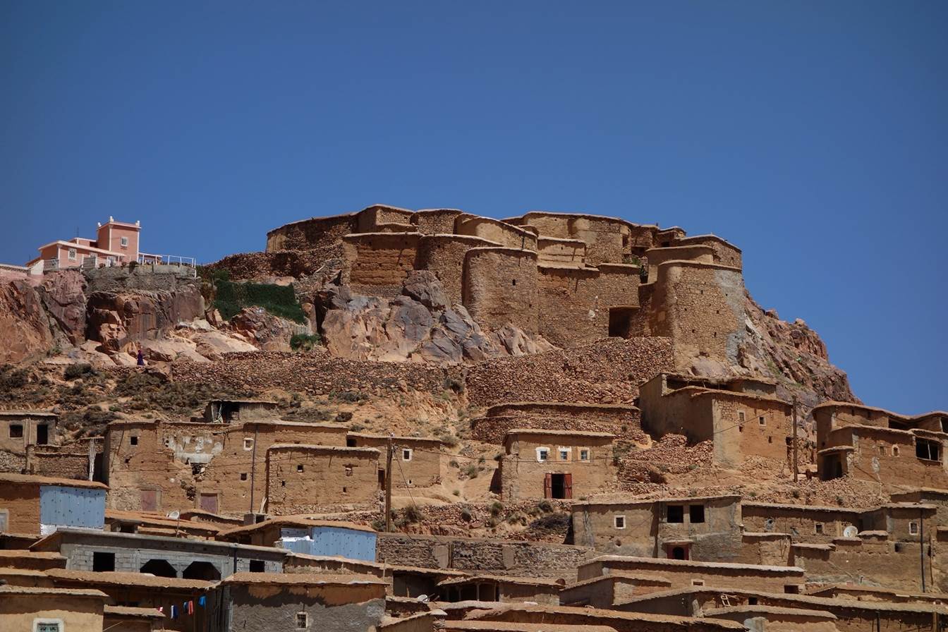
The old collective
fortified granary (″agadir″ in Berber language) that dominates
Amassine. It is still in use today, with each family owning one of its
sections. Many granaries in the Anti-Atlas and High Atlas were fortified to
defend them against raids by Berber tribes from the Sahara. The ovoid-shaped
granary of Amassine was built in several phases to accommodate the growing
needs of the village.
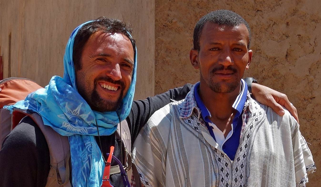
We had arrived in
Amassine on a late morning. A very nice and hospitable man (on the right in the
photo below, with Oumar on the left), whom we had met on the trail before
reaching the village, invited us to stay at his home for lunch. One specialty
of our host is sheep shearing for local carpet makers. He also cultivates
saffron, the most expensive spice in the world (because it is extremely
difficult to collect). Saffron from the Sirwa massif is considered one of the
very best worldwide.
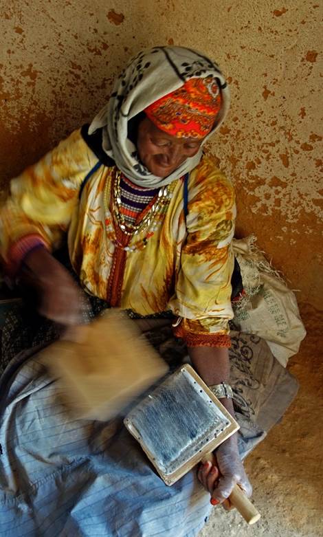
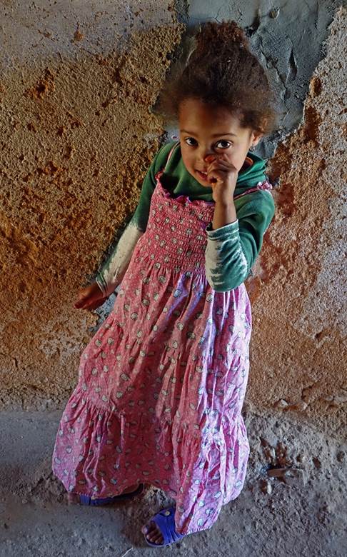
Left and center: our
host‛s mother carding wool. (The purpose of carding is to clean and
disentangle wool fibers to prepare them for spinning.) Right: our host‛s
daughter.
|
|
|
|

After
spending a few relaxing and enjoyable hours in Amassine, we left the village to
continue our trek (stage
2).
![]()