Morocco (May-June 2016): 2. From Amassine
to Ijoukak
![]()
Return to main Morocco 2016 webpage
Topographic
maps of this section of the trek:
-
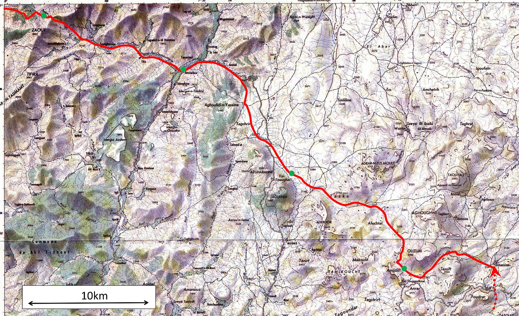
South-east part of the section, covered by the 100K topographic map ″Taliwine″: click here to see the complete full-resolution map (without
annotations). The green dots are campsites.
-
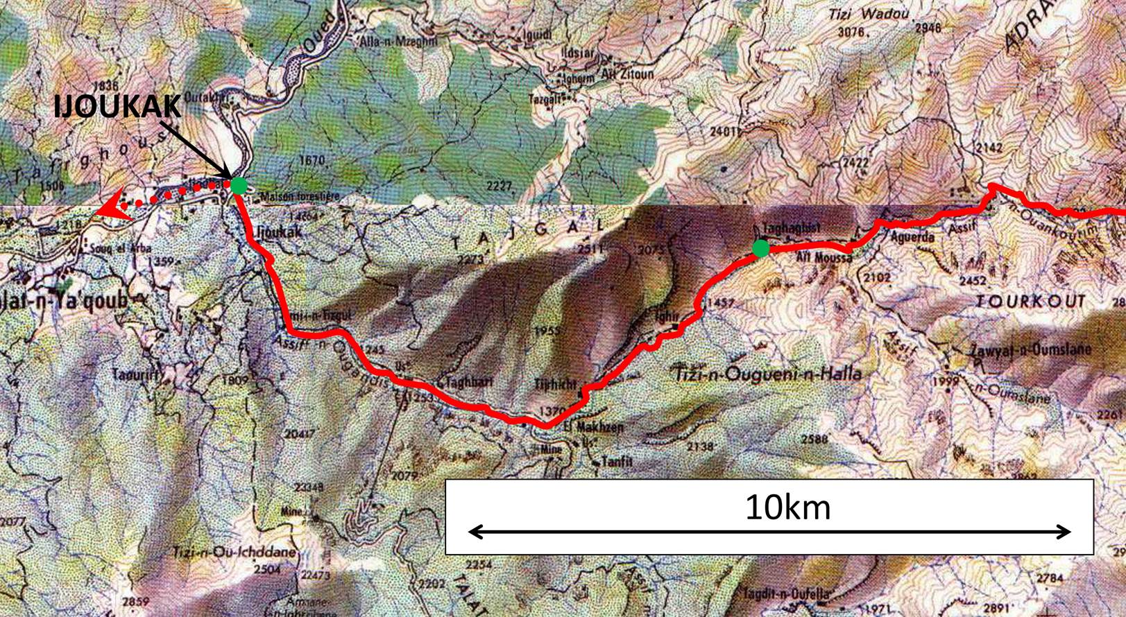
North-west part of the section, covered by the 100K topographic maps ″Tizi-n-Test″
and ″Amezmiz″:
click here and hereto see the complete full-resolution maps (without
annotations). The two maps have been established on two different years and do
not match perfectly.
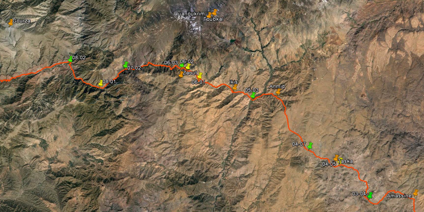
Google
Earth map of the entire section: click here
(.kmz file) to access all the waypoints and
placemarks in Google Earth. (Reminder: the green markers are campsites)
We
left Amassine in the afternoon of the third day of
trek. We headed east and for a while we crossed an arid monotonous plateau.
Later
the terrain got more interesting, first with large boulders and rock
formations.
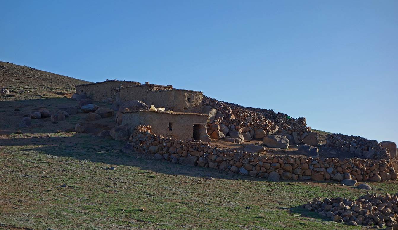
Soon
we passed by several groups of azibs among
surprisingly large green pastures and fields.
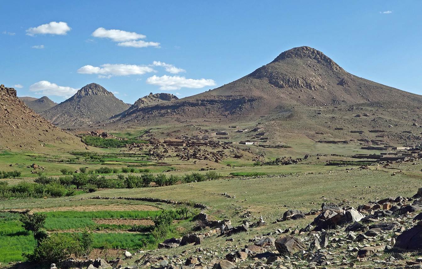
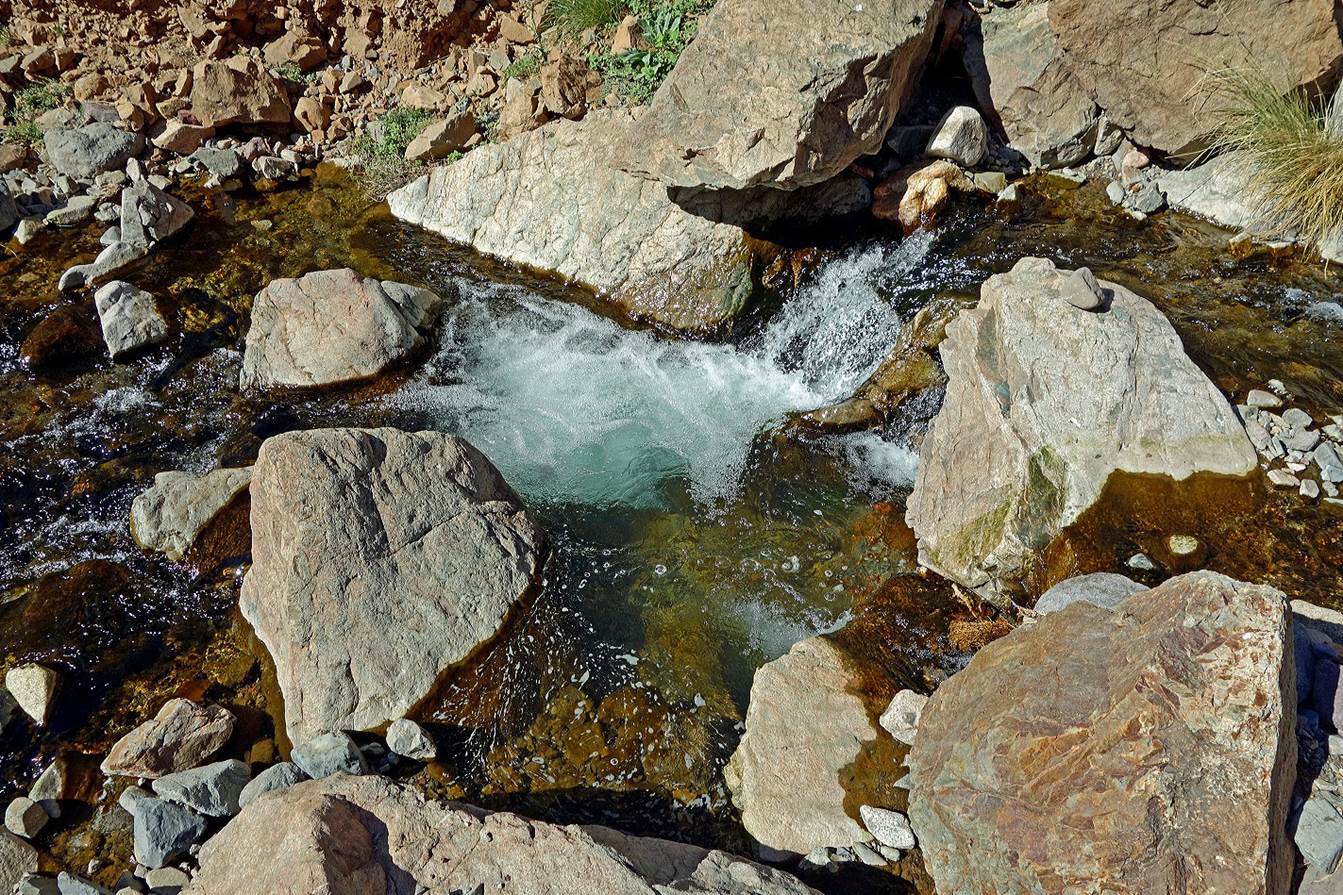
A
substantial fraction of the water feeding these pastures and fields comes from
a set of sources called Ait Maghlif
(″ait″ is the Berber word for ″spring″)
located between Jebels Ouzim and Amjjod (see
topographic map at the top of this page).
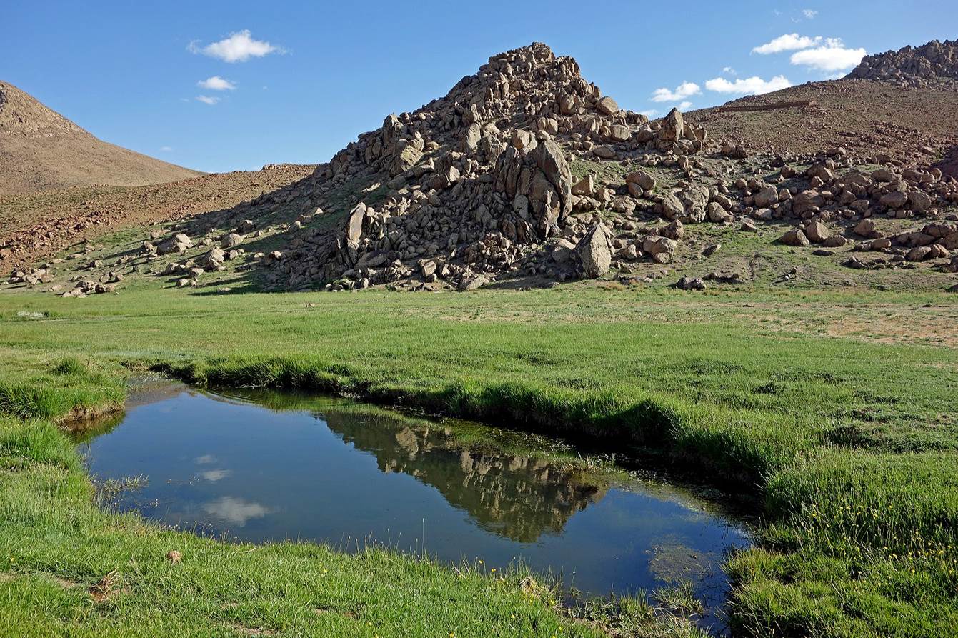
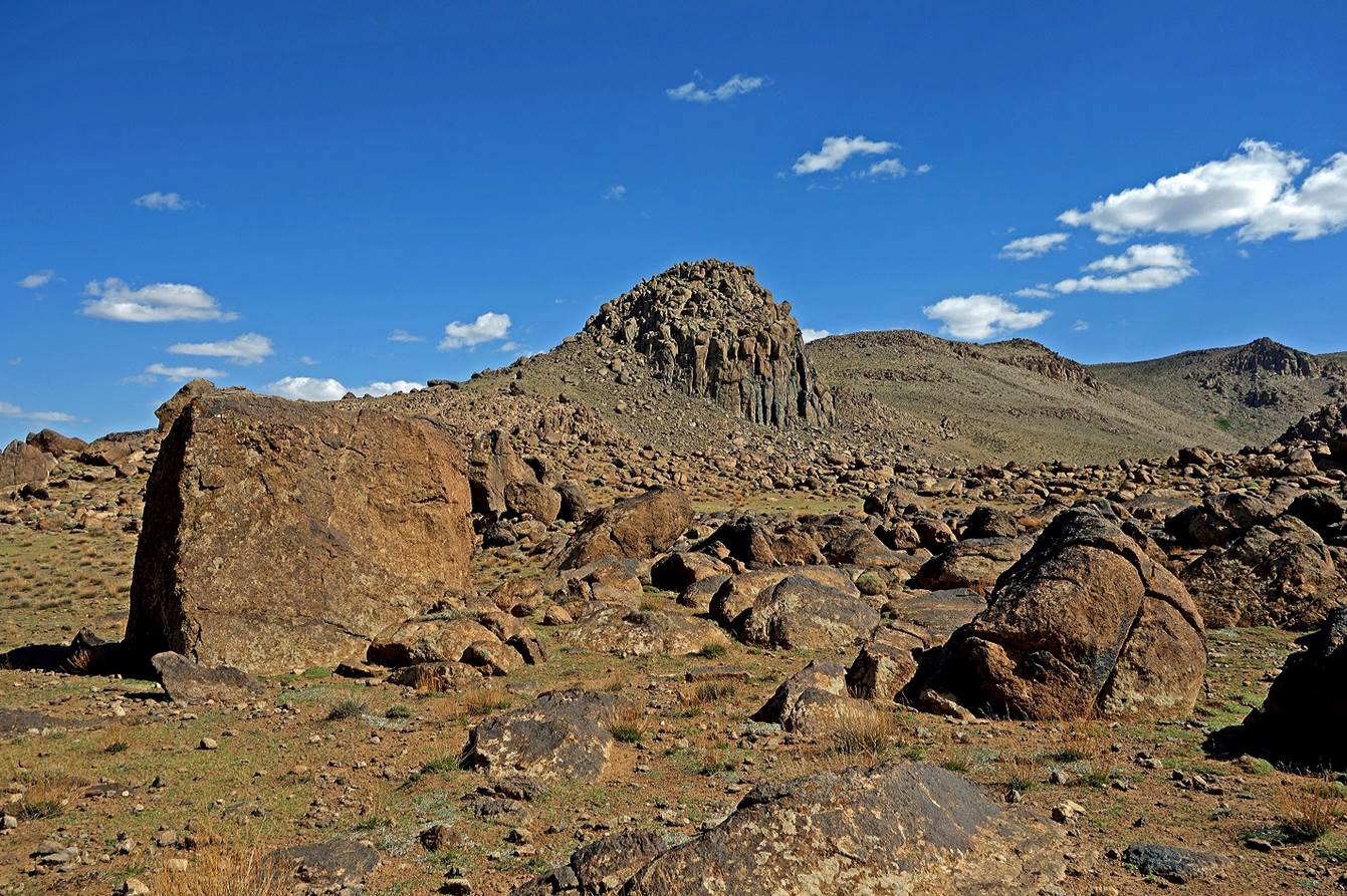
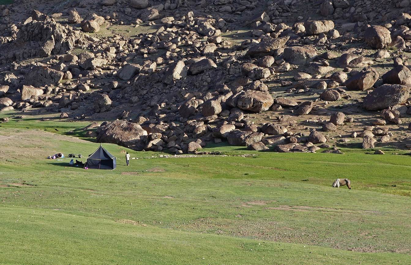
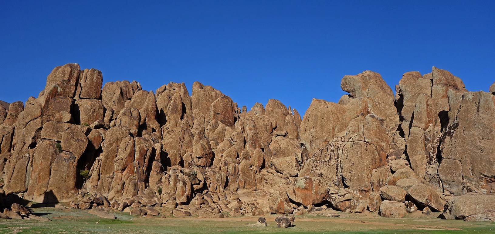
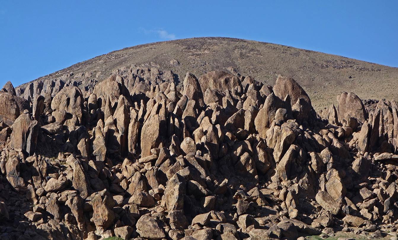
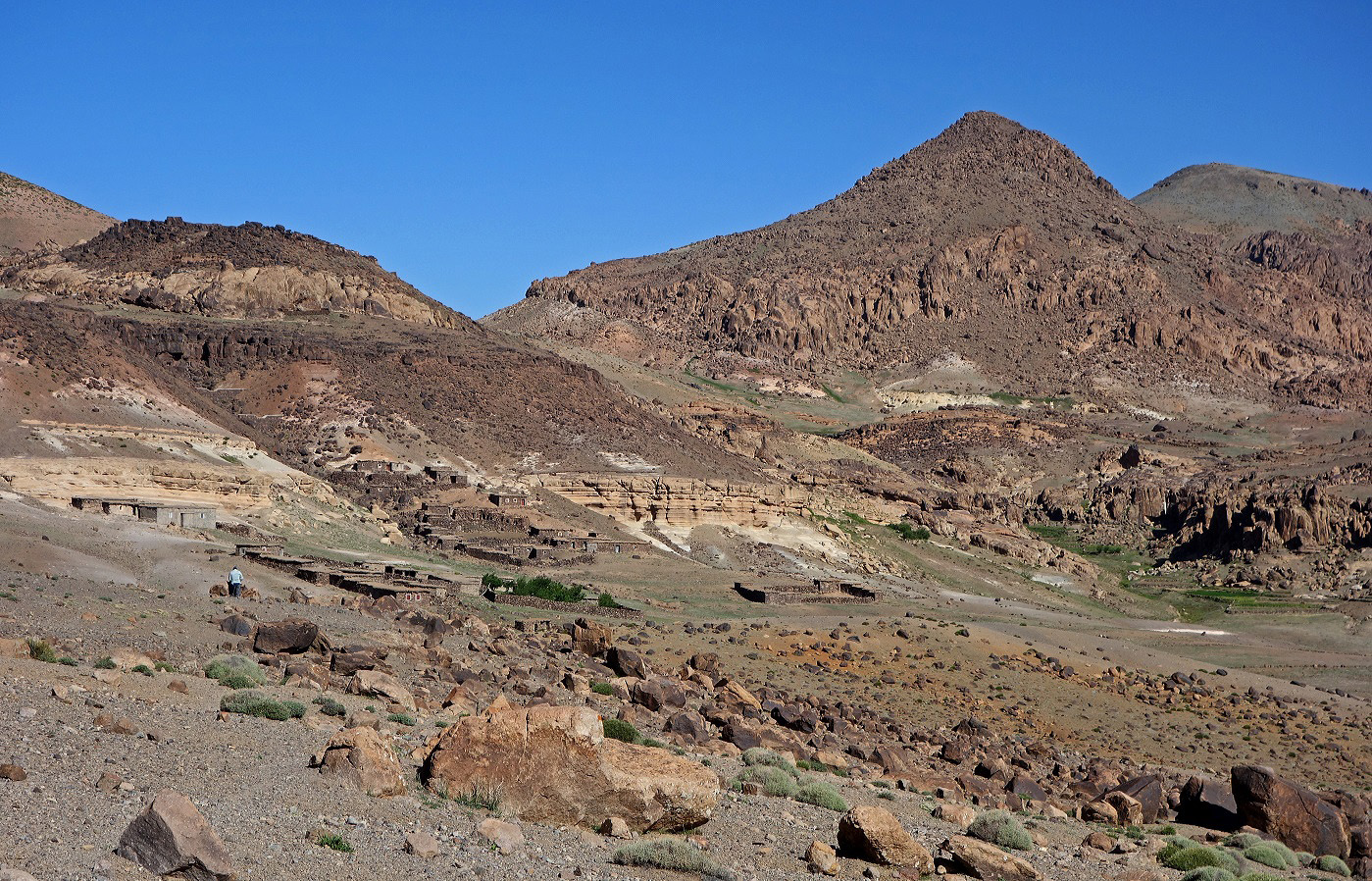
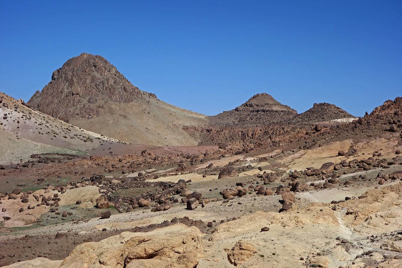
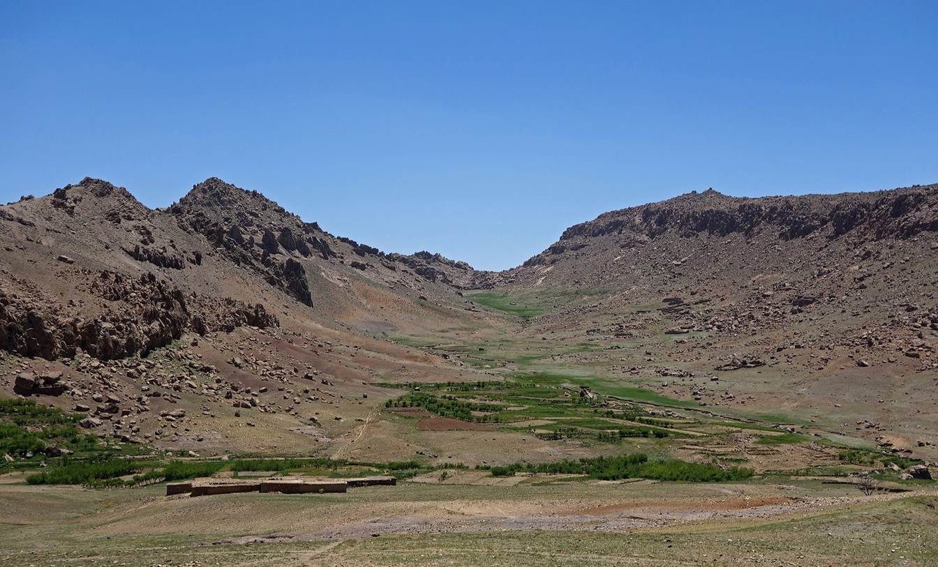
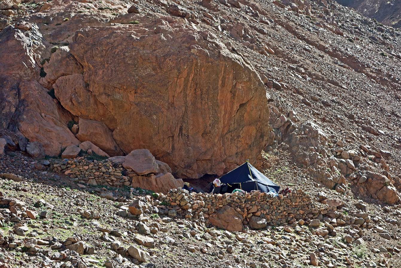
The
small valley between Jebels Ouzim and Amjjod is an
exceptionally beautiful area surrounded by stunning rock formations...
...where
we set our camp for the night (WP 03-04).
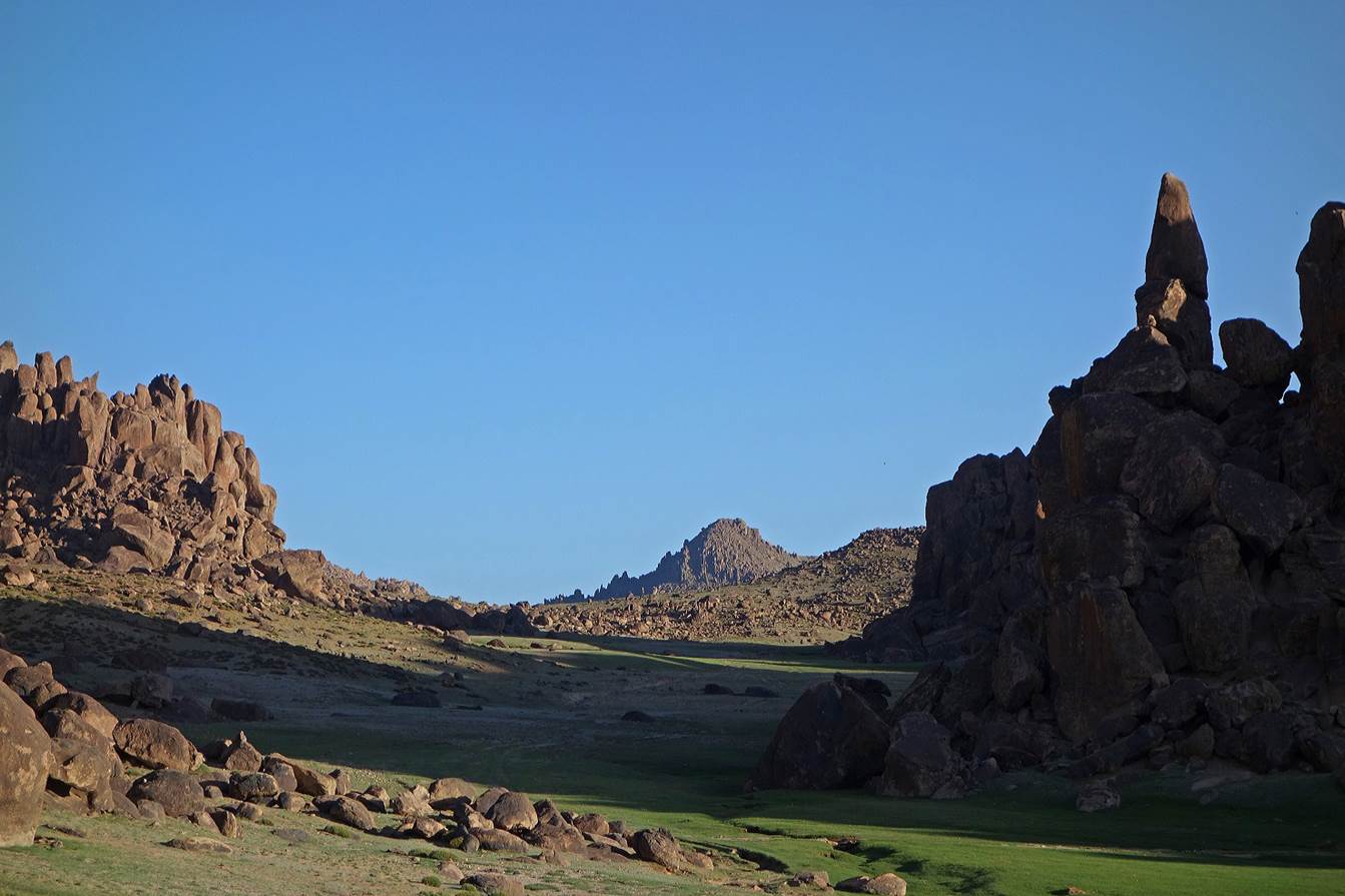
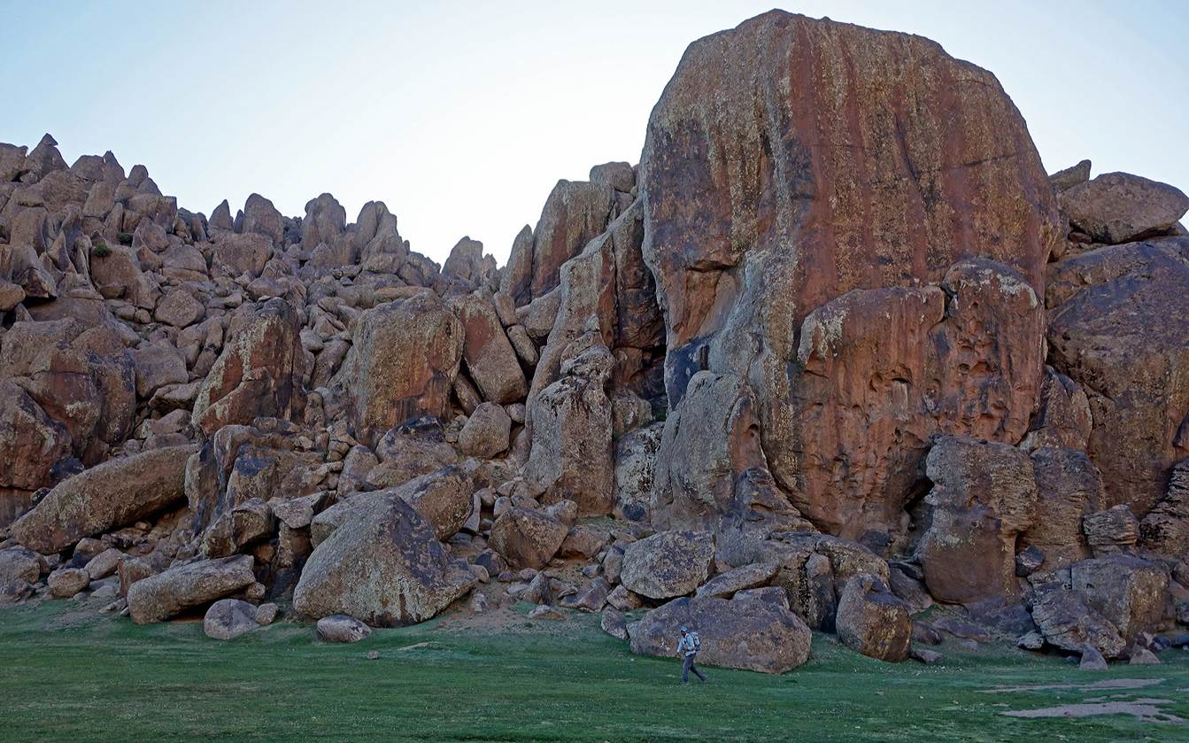
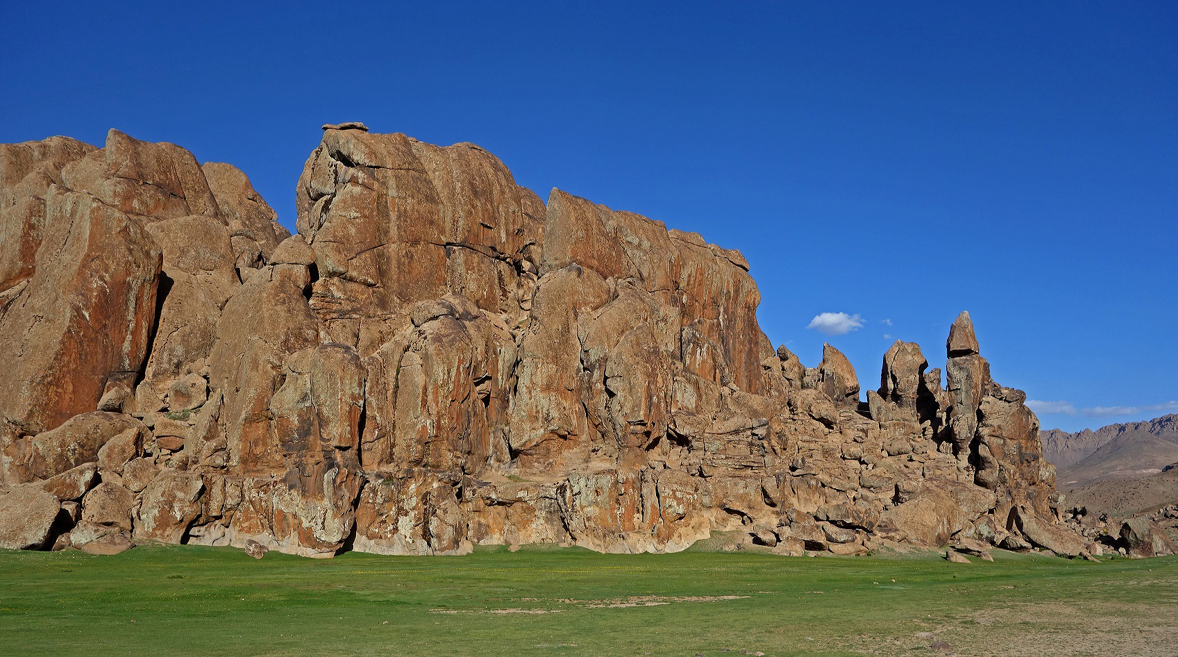
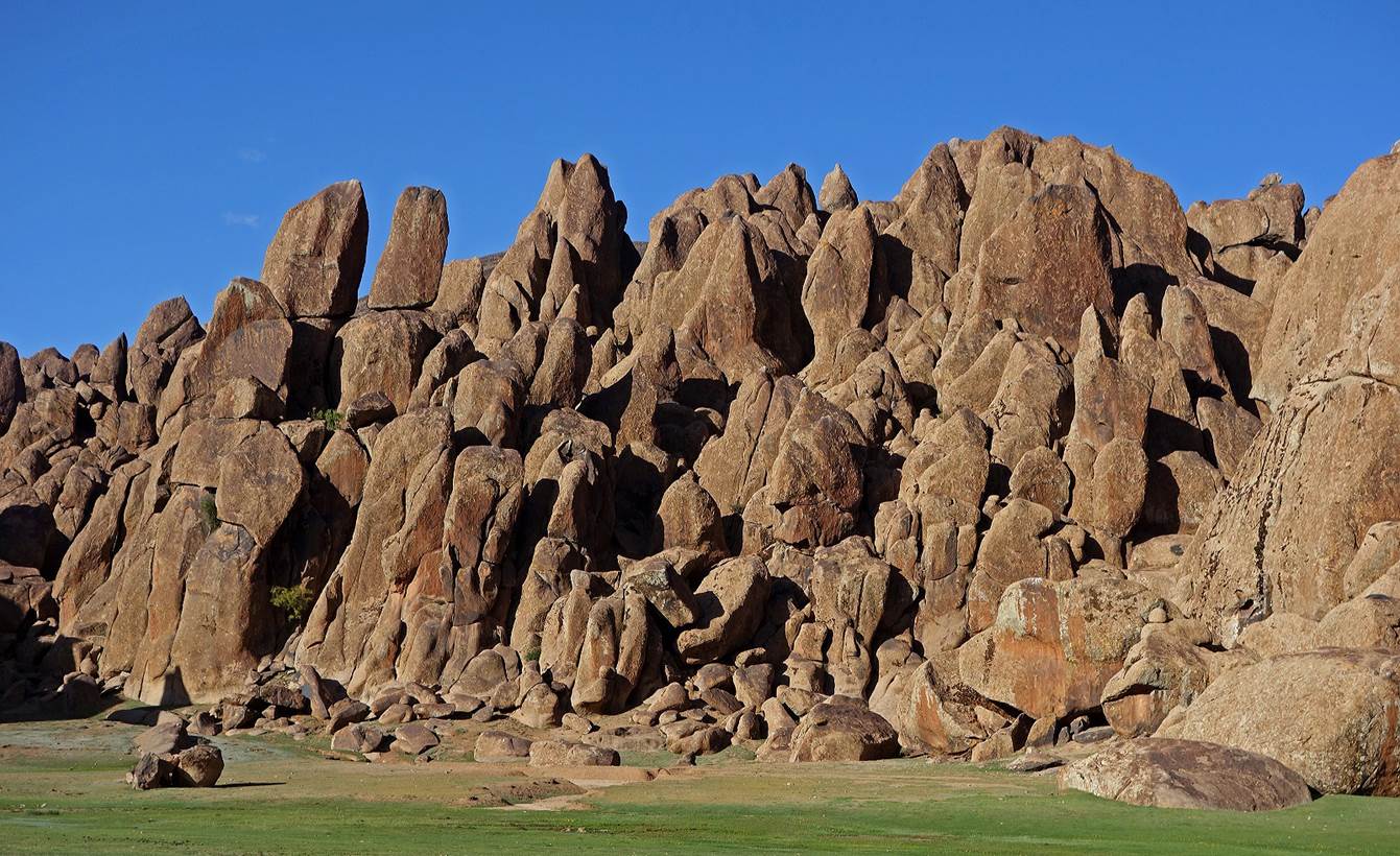
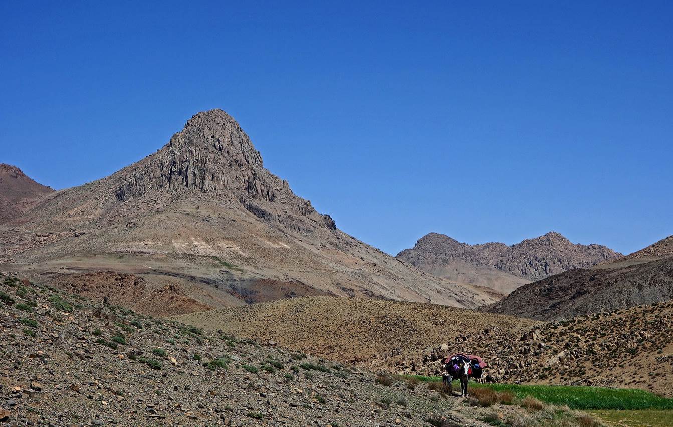
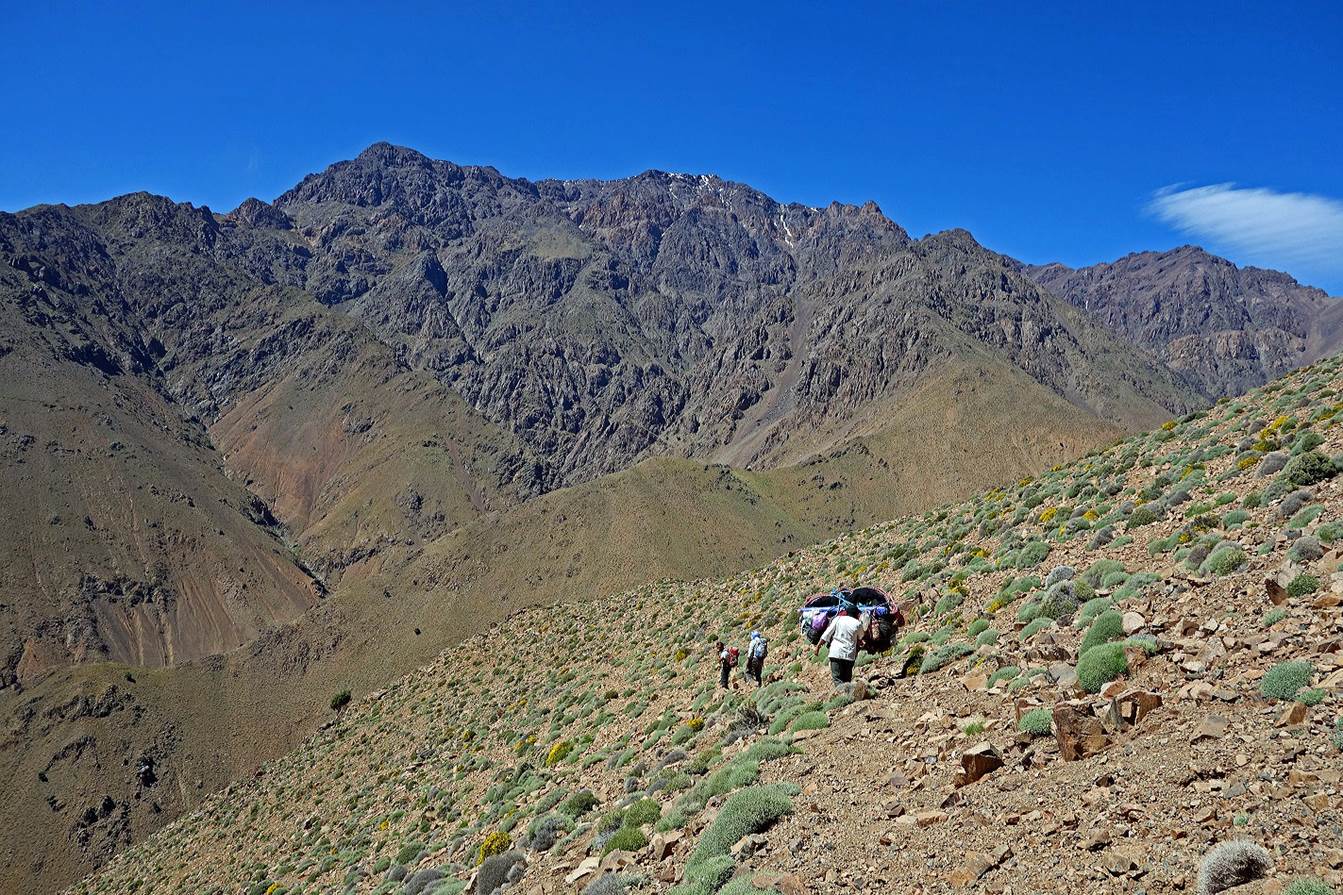
Large
rock formation near our camp. The first picture below, with Abderrahmane hiking, gives a sense of
the size of some of the rocks.
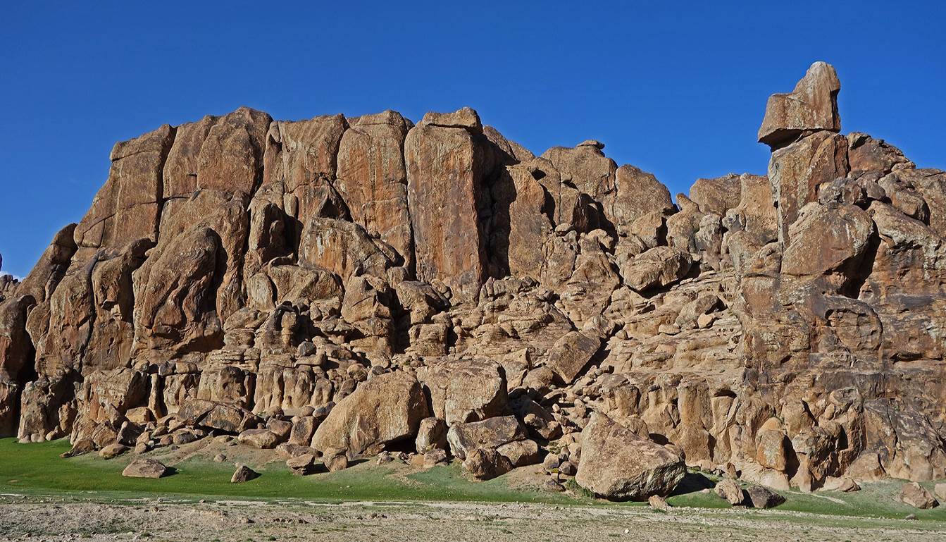
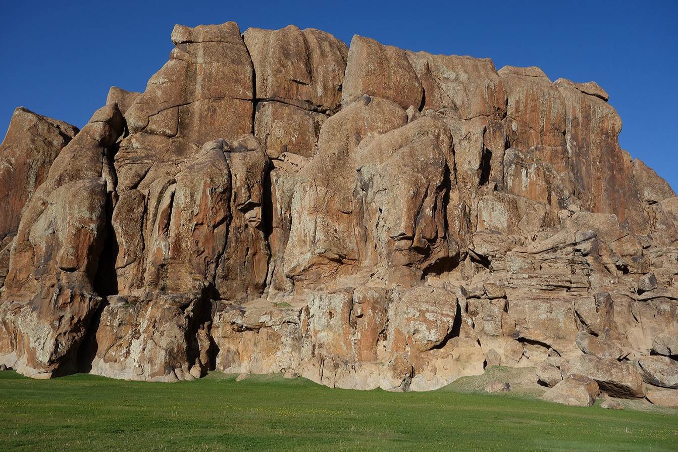
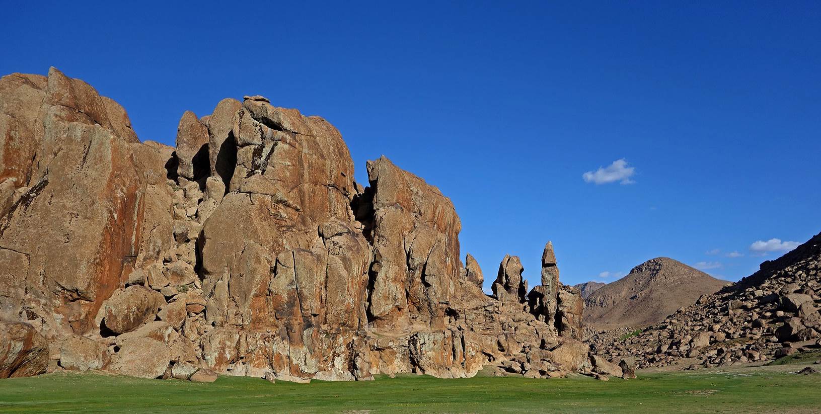
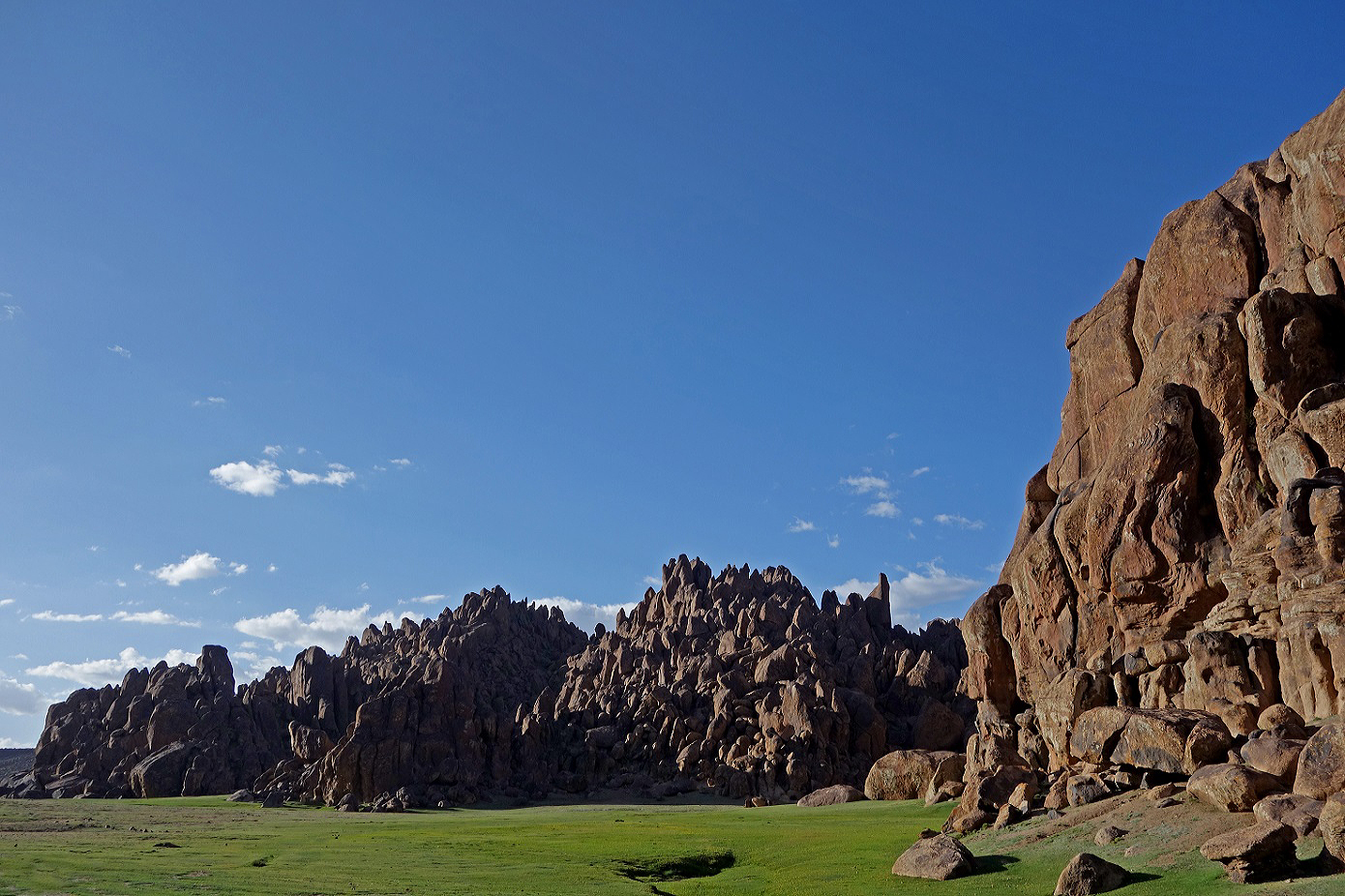
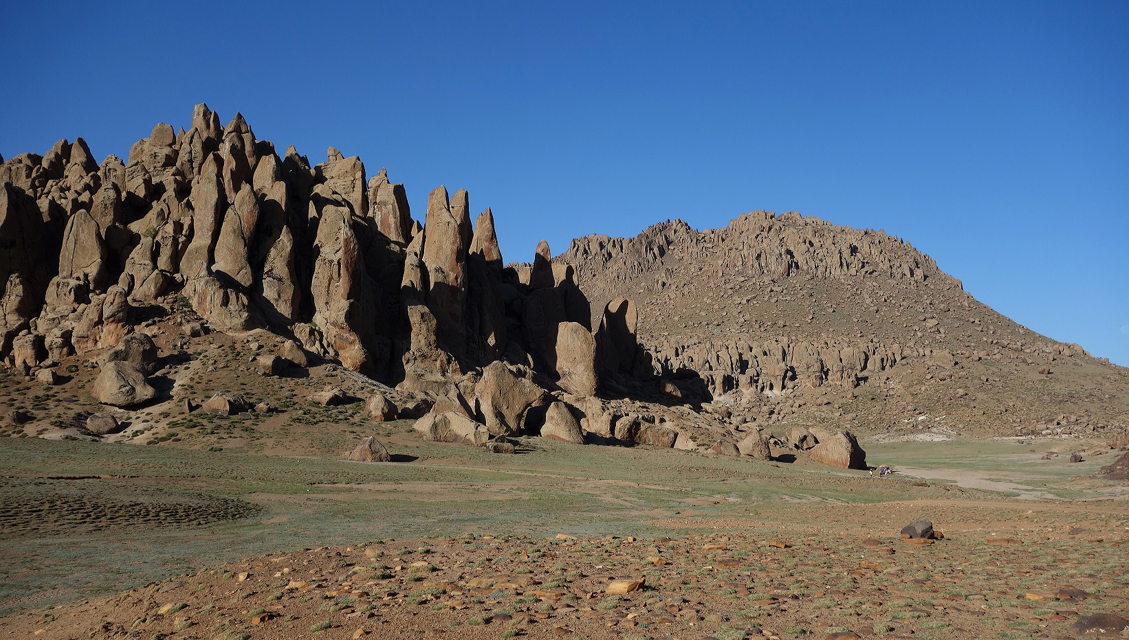
Other
rock formations.
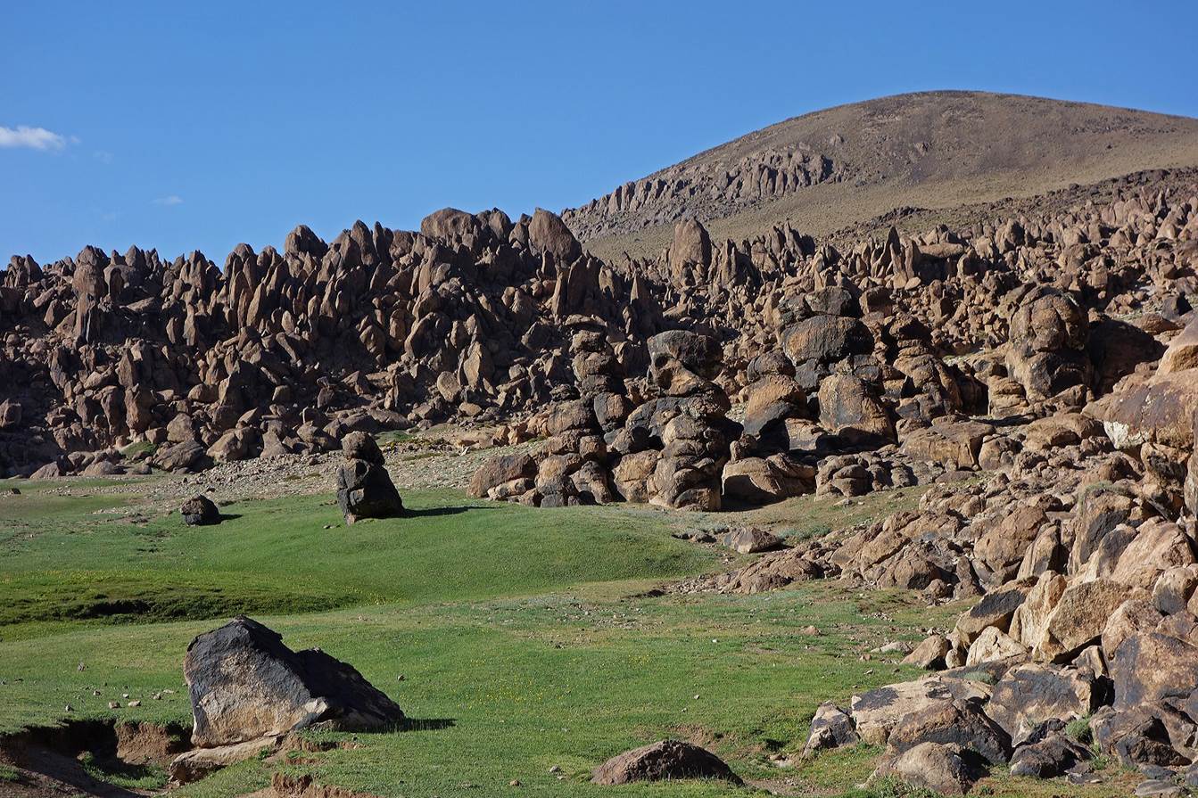
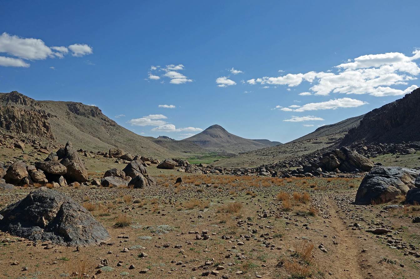
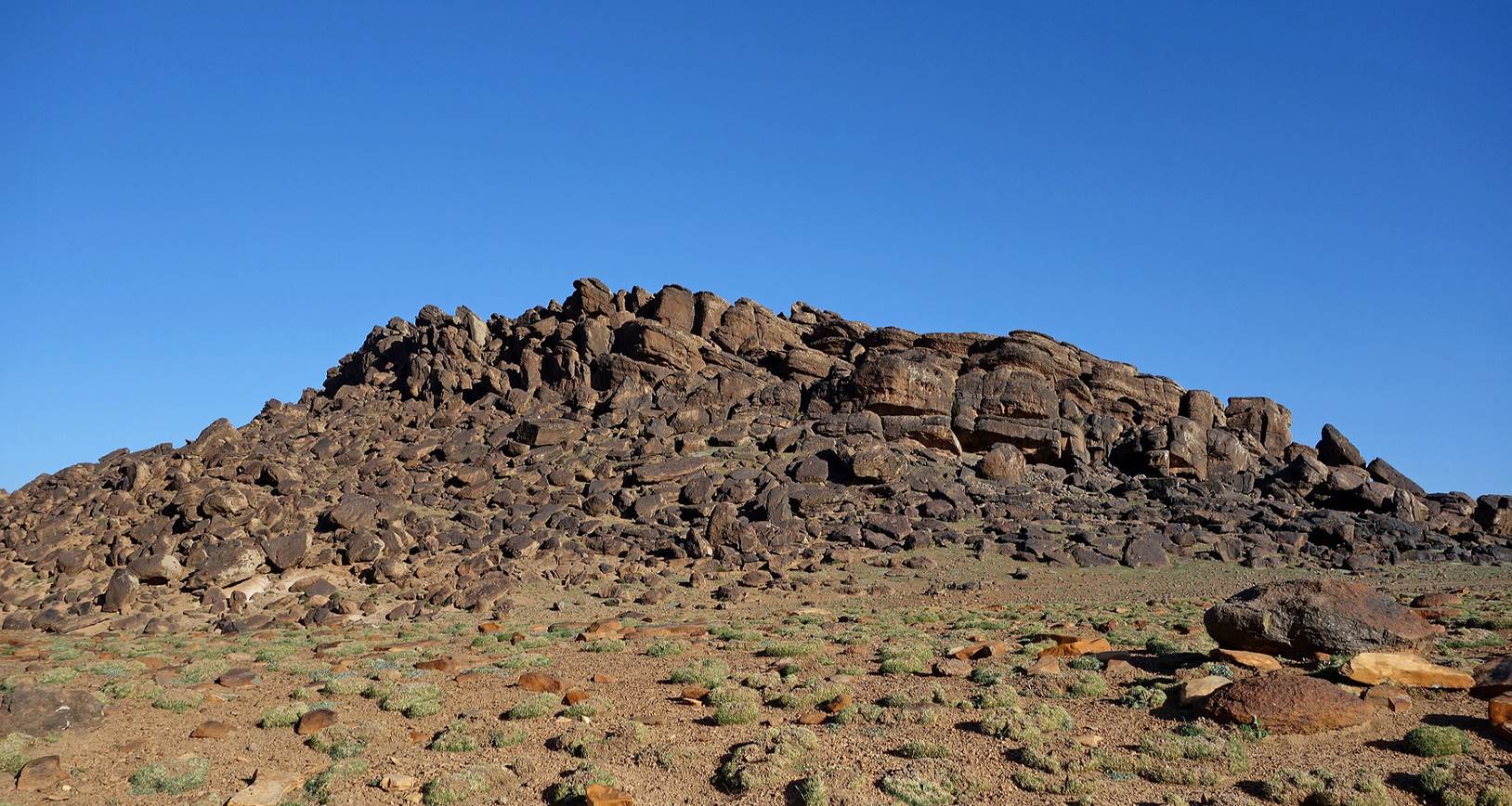
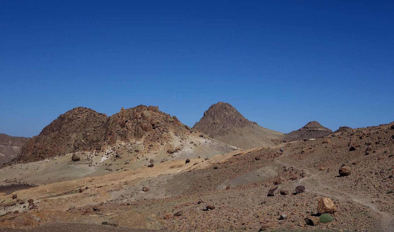
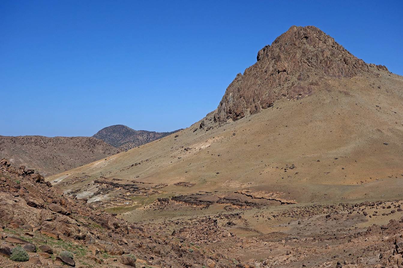
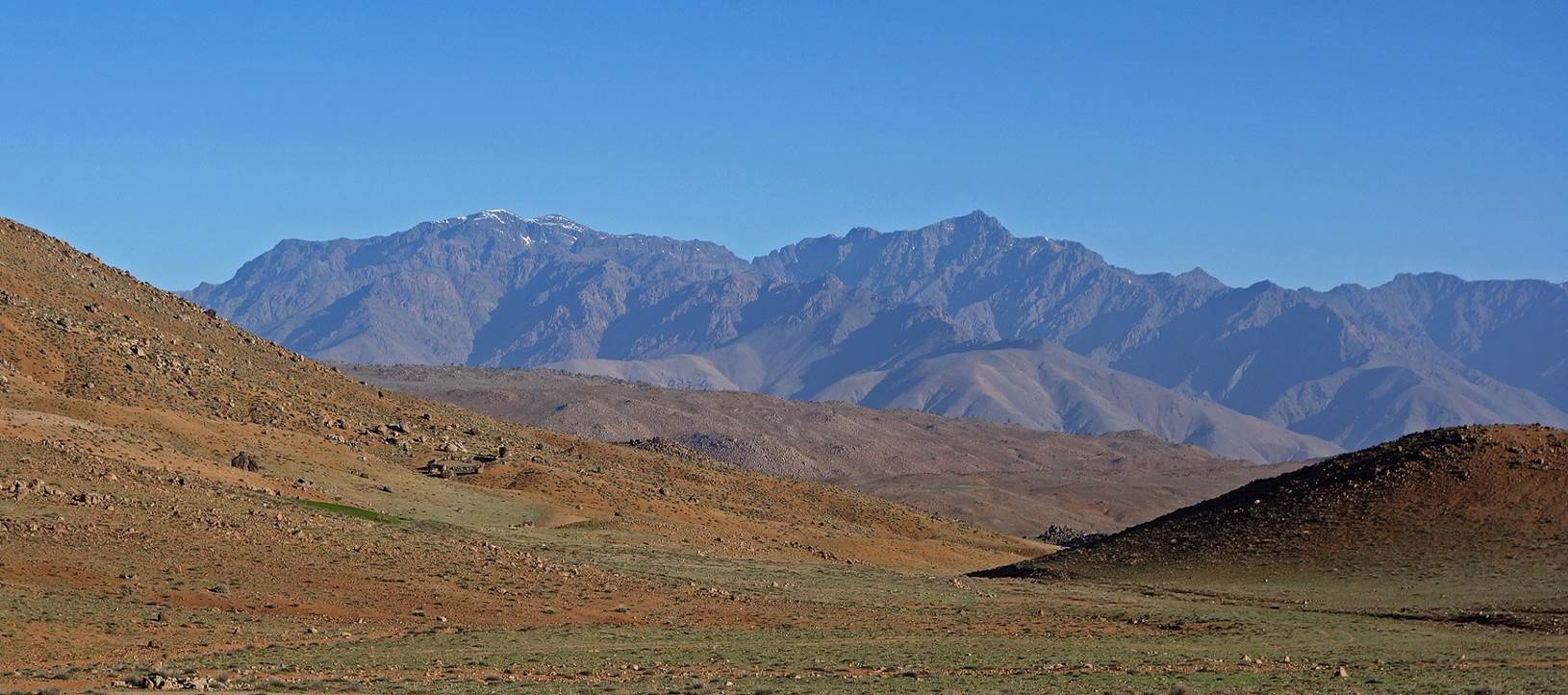
On
the next morning, as we left the Ait Maghlif area toward Jebel Taska, the rock formations became
much smaller.
Jebel
Toubkal in the High Atlas became visible again (main peak in the background of
this photo).
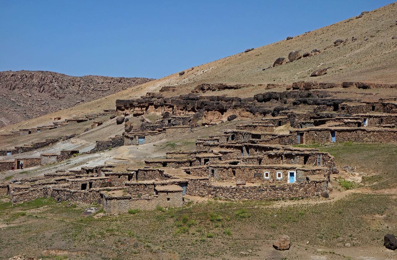
We
then passed several small groups of azibs.
We
climbed along the rim of a small canyon...
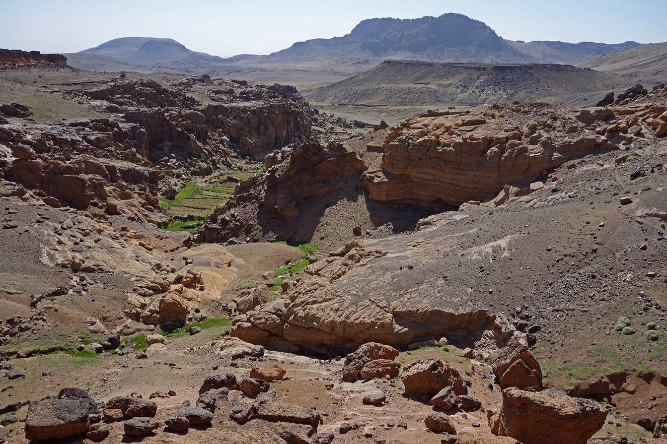
...to
reach a small pass leading to Jebel Taska (2764m).
Azibs
(yellow pin WP 04-05) below Jebel Taska. We stopped there for a lunch on a hot
day. (Several peaks in the Atlas mountains are called Taska. In Berber language
″taska″ means ″carpet loom″.
I assume that in the eyes of local people the so-named peaks look like looms.)
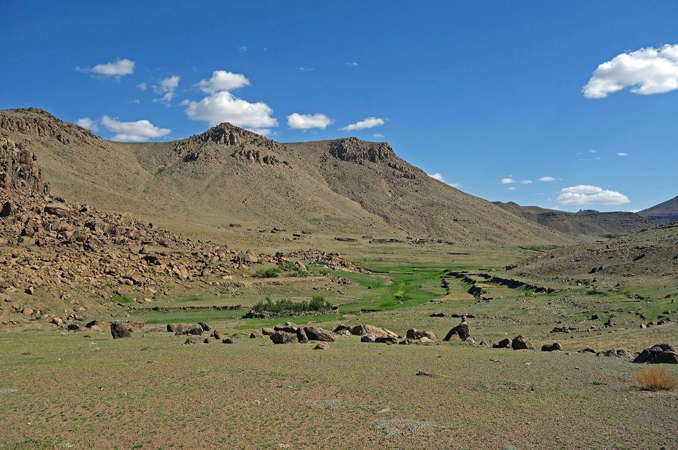
Pastures
and fields below the azibs, with Jebel Aderdor on the right (see topographic map).
Looking
back toward Jebel Taska.
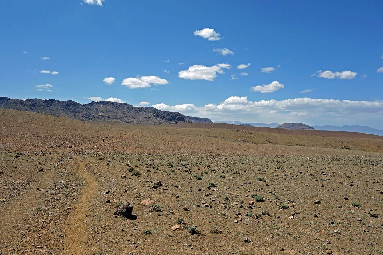
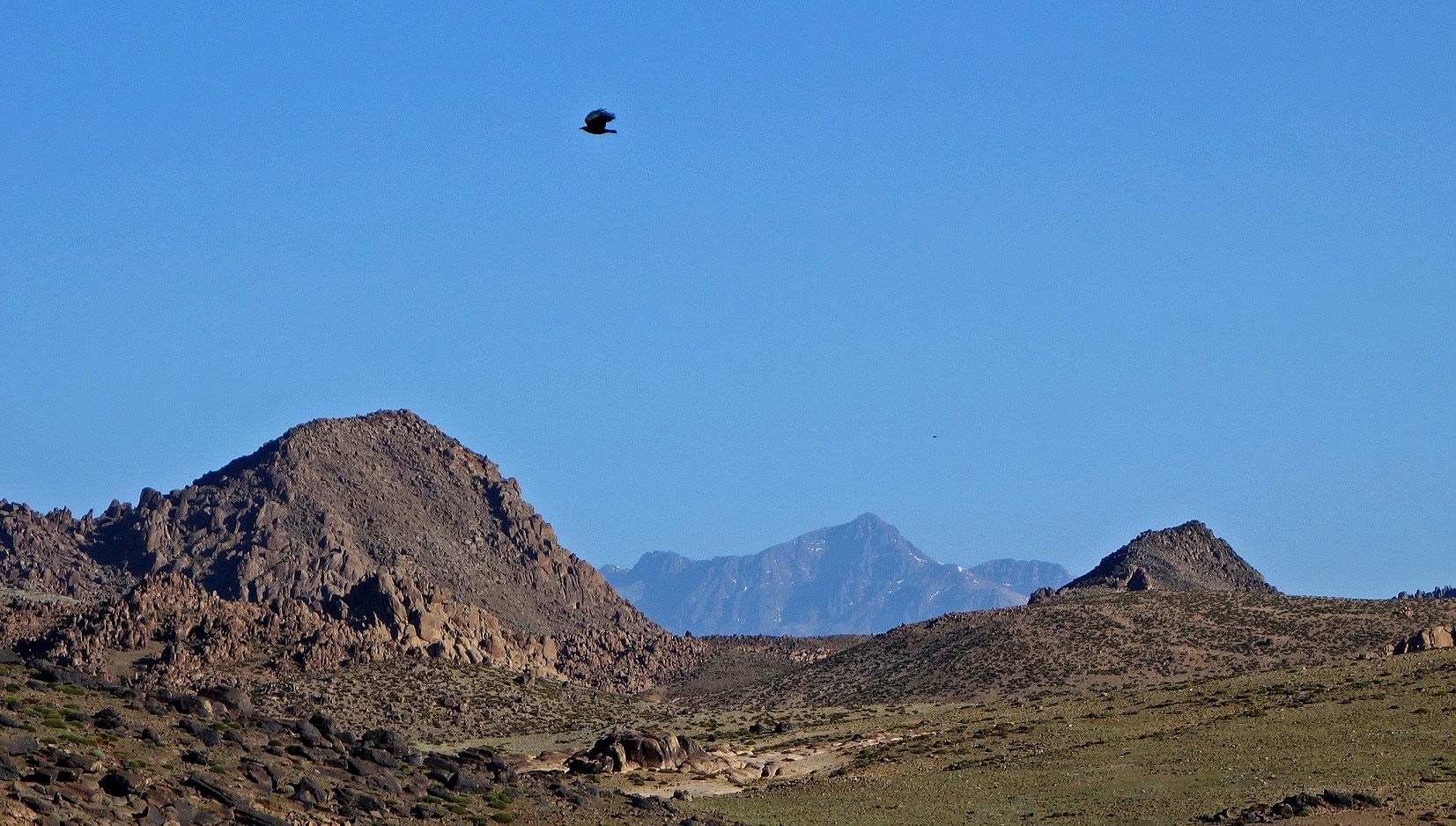
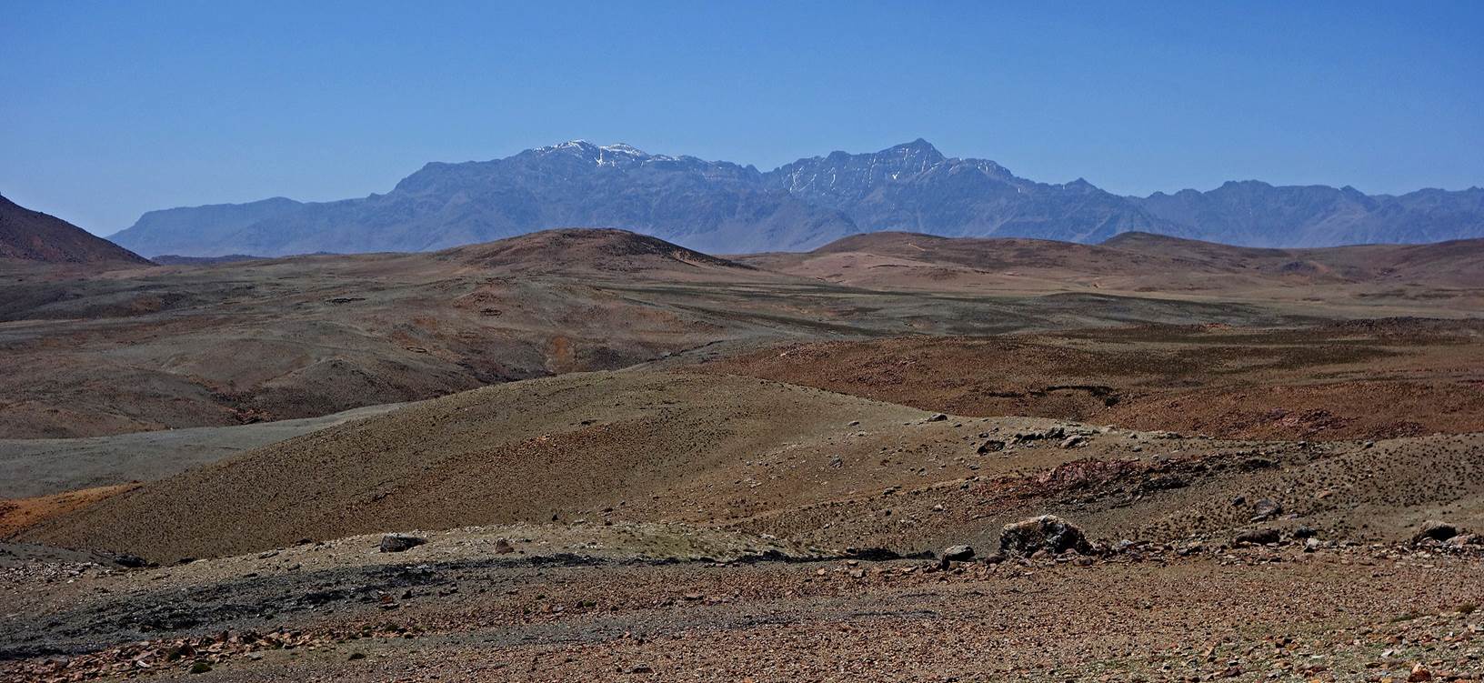
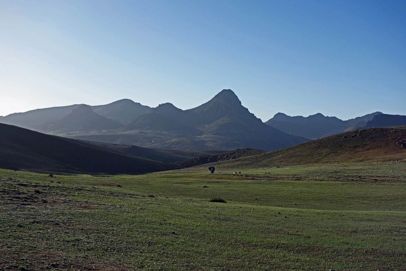
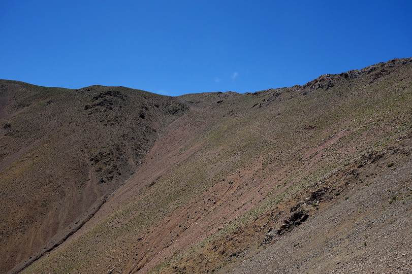
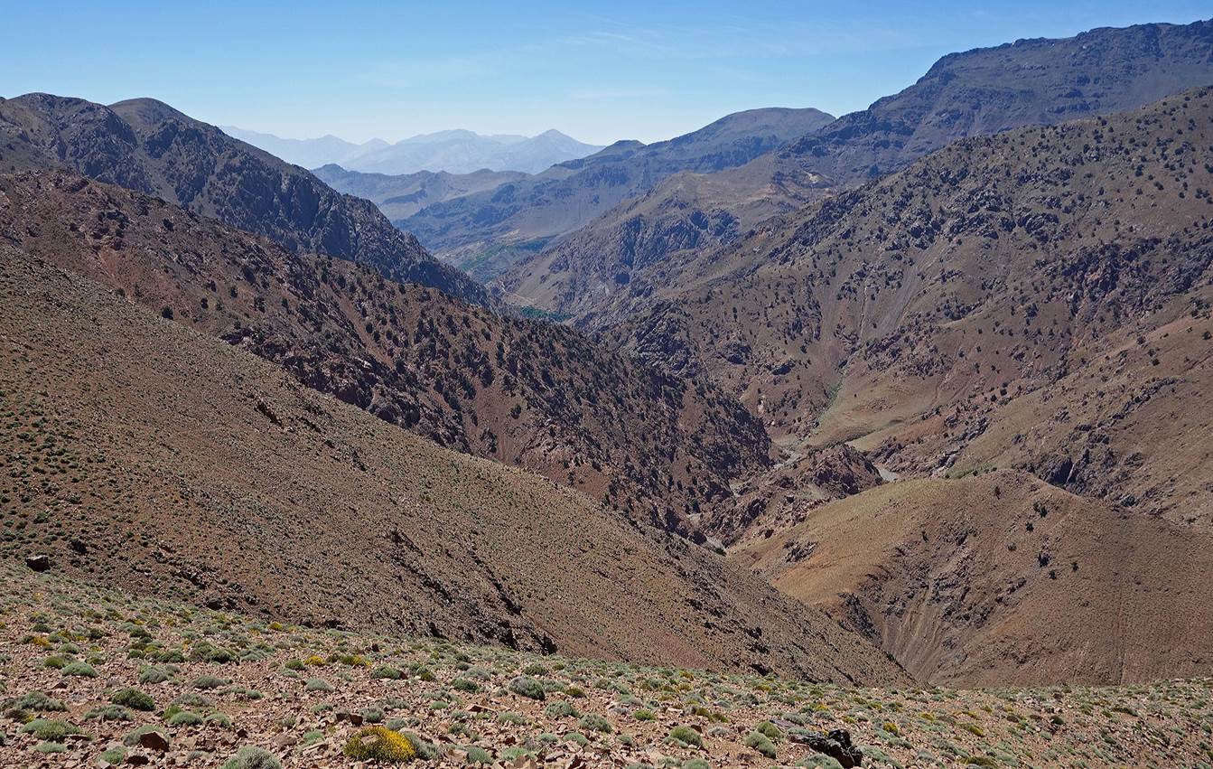
We
crossed again an arid plateau, mostly off any trail, with view over Jebels Ouanoukrim (the mountain with the most snow) and Toubkal
(the sharper peak) in the background. (See annotated Google Earth image at the
top of this page.)
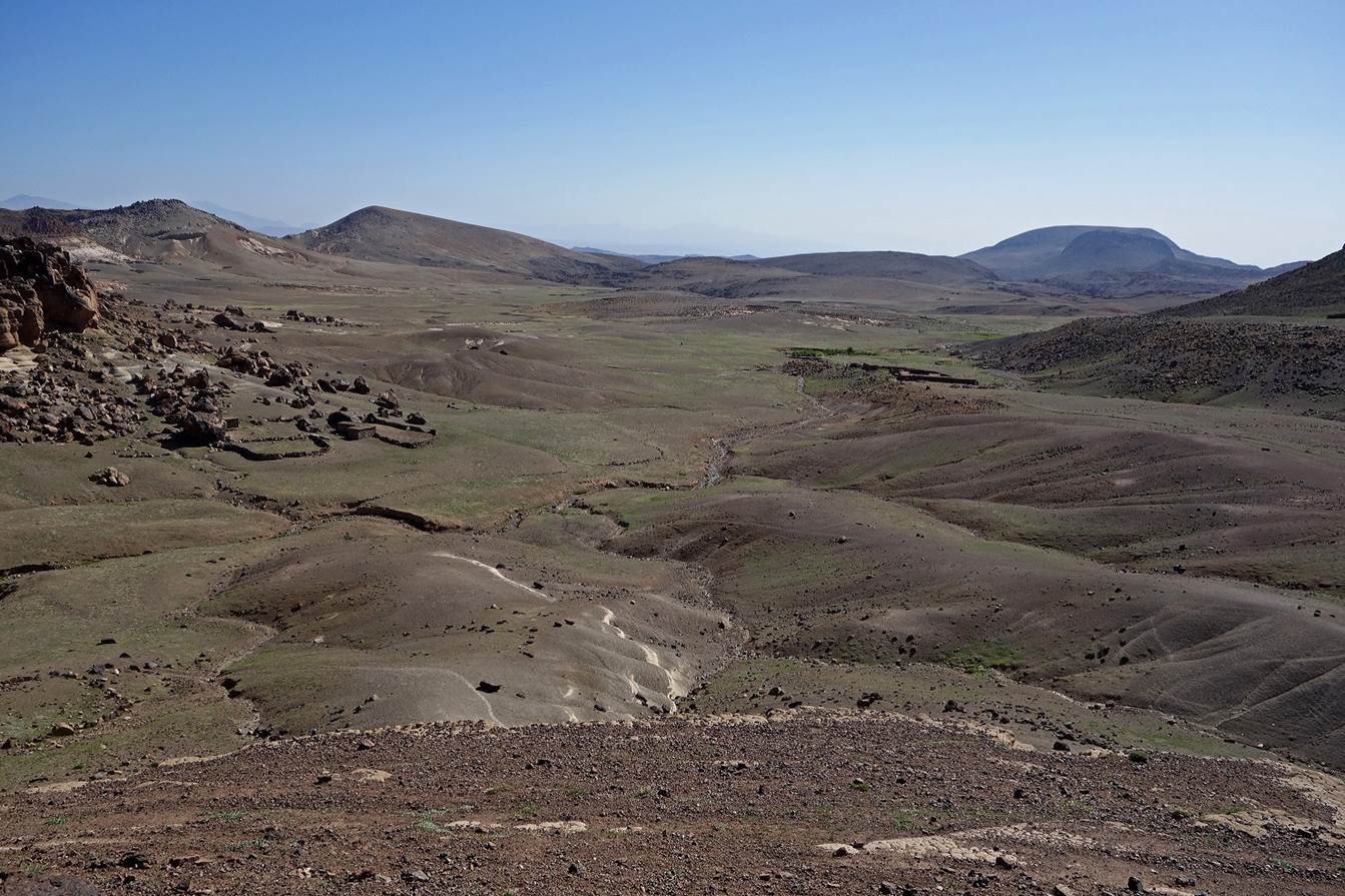
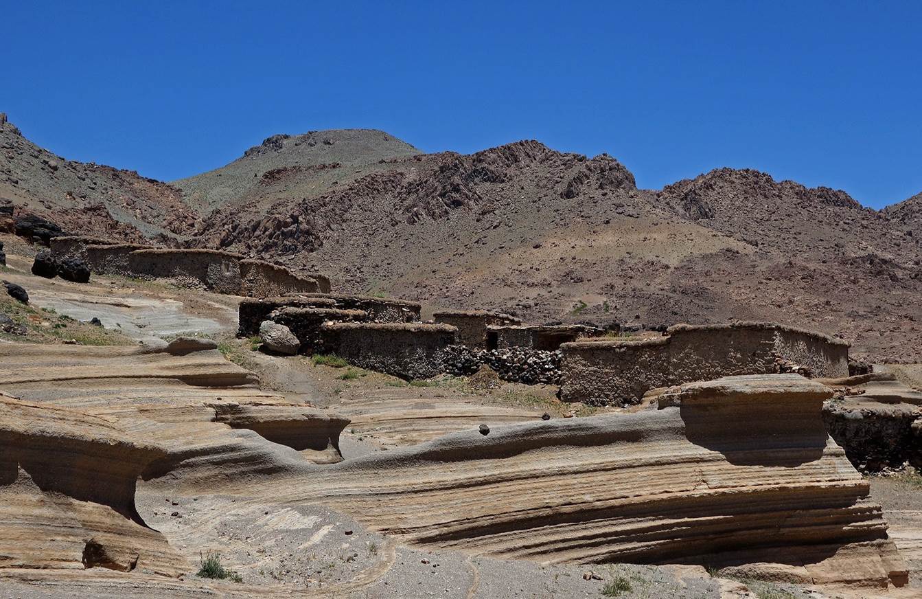
Surprisingly,
despite the absence of any significant peaks nearby, we reached a green area.
We set our camp (WP 04-07) near a small spring below an azib.
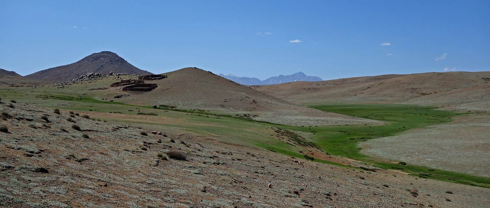
View toward the east as we left our camp on the next morning,
with Jebel Taska still visible in the background.
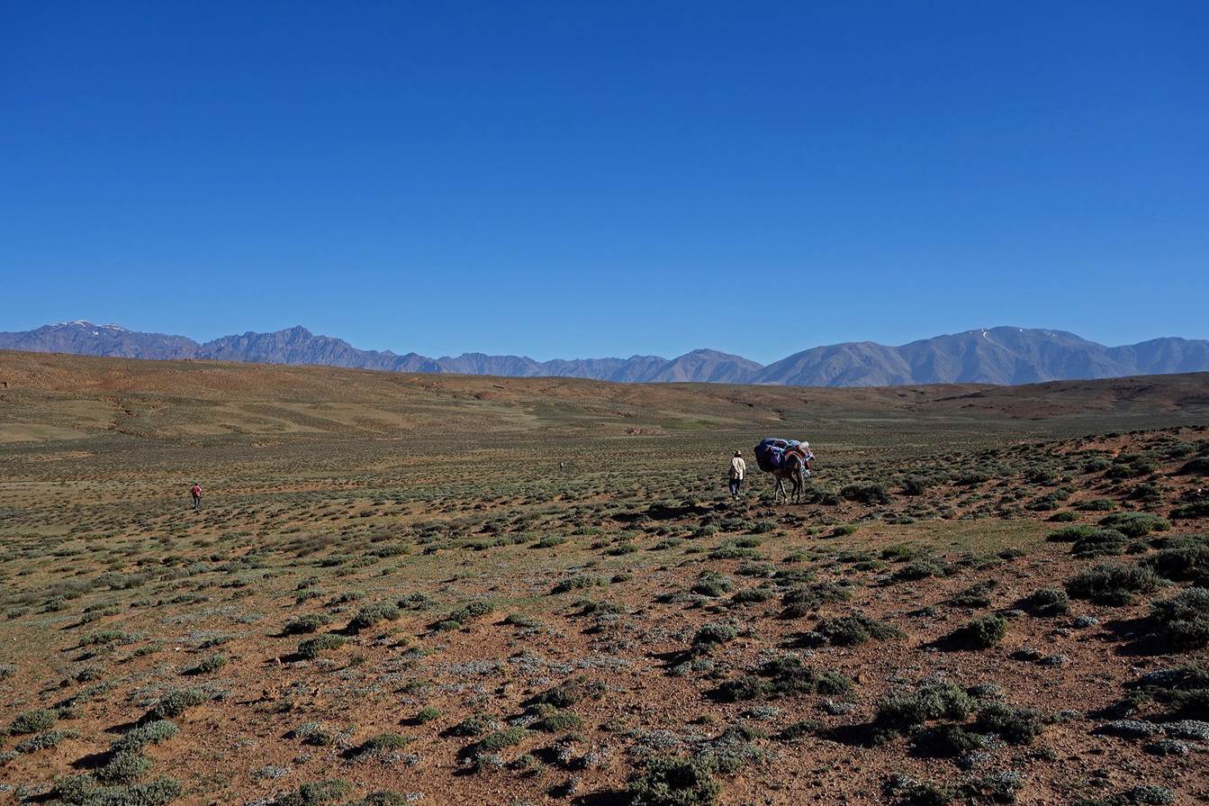
More
plateau landscape, with views over the High Atlas in the background.
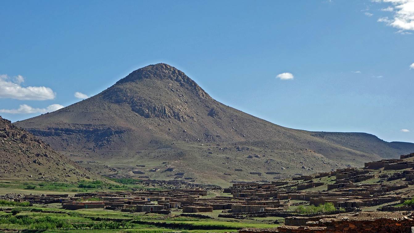
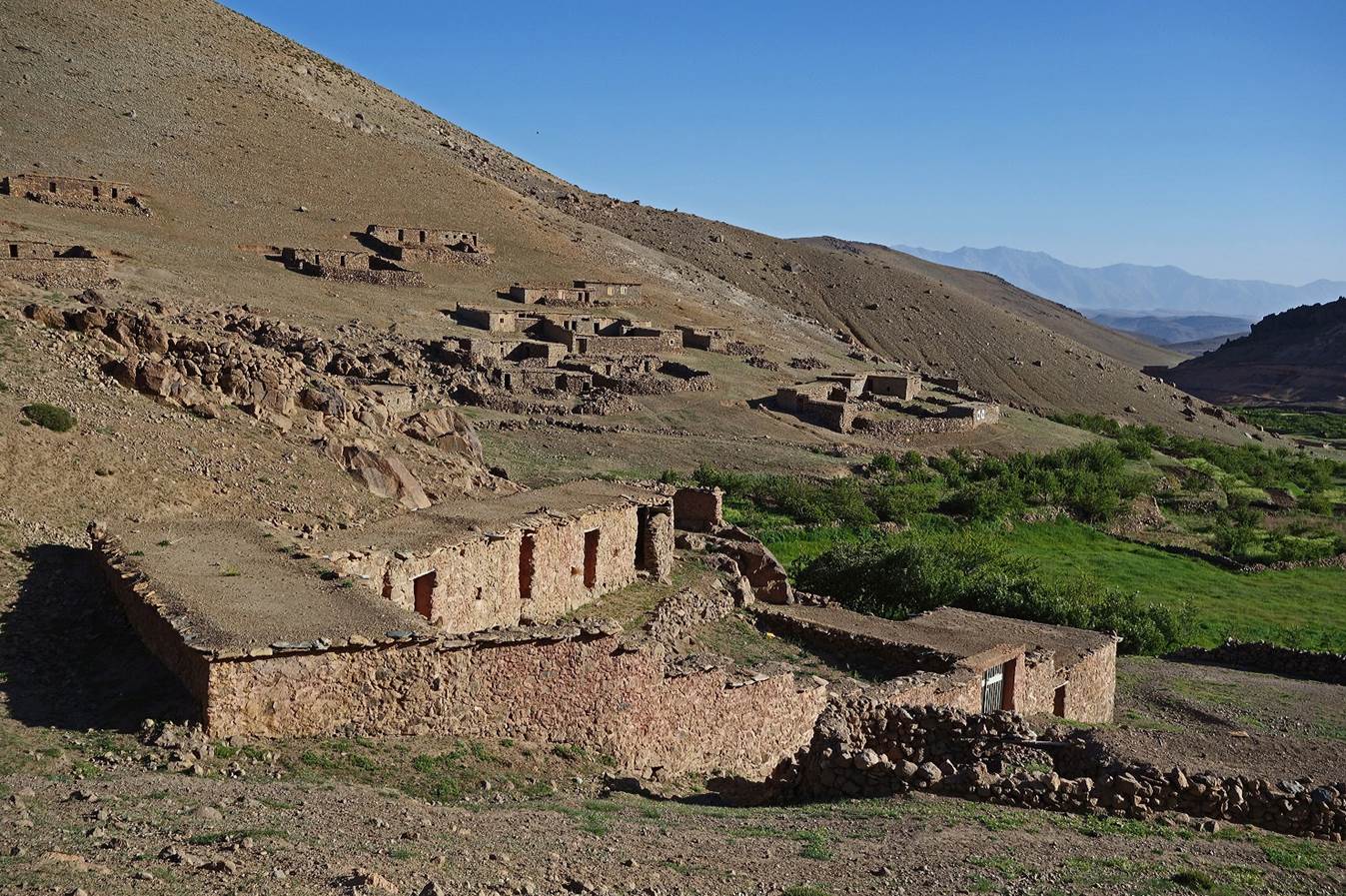
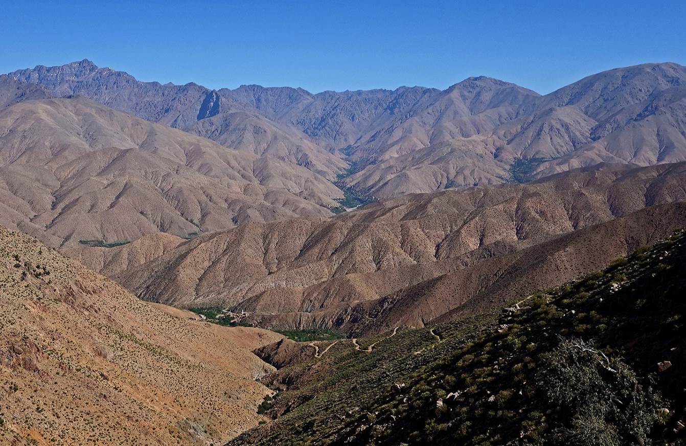
Finally,
we reached the end of the plateau, above a valley that roughly marks the limit
between the Anti-Atlas on the south and the High Atlas on the north. We went
down into the valley to reach the pretty village of Anmid.
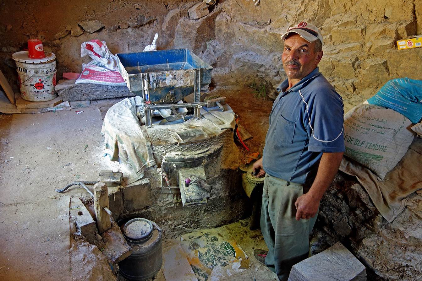
From Anmid we hiked first on a dust road, then for a couple
of kilometers along a paved road, to the village of Amzerkou, where we set our
camp for the night (WP 05-03). Below, the friendly miller of Amzerkou proudly
showing his self-made mill.
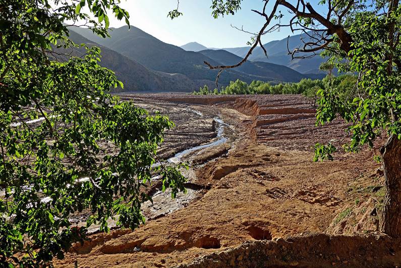
On
the next morning, we hiked toward Tizi-n-Zaout (WP
06-02) along Assif-n-Oumoumen (river). There had been
a major storm a couple of weeks earlier. The damages of the flood were still
visible in the river bed.
|
|
|

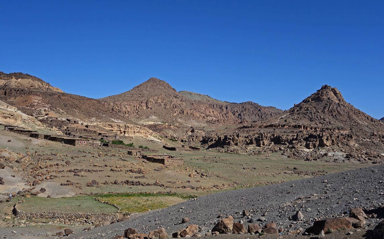
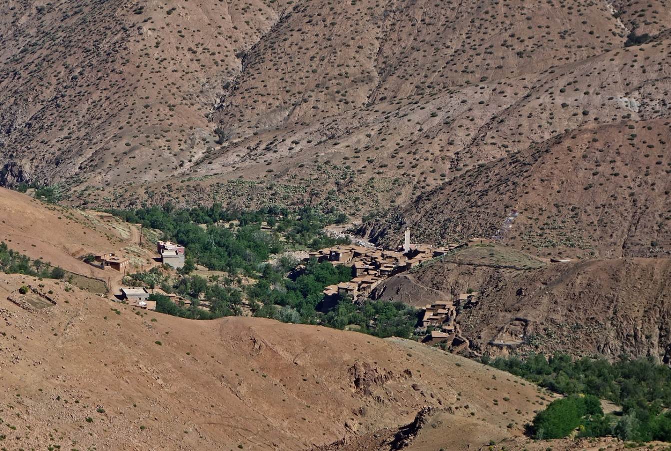
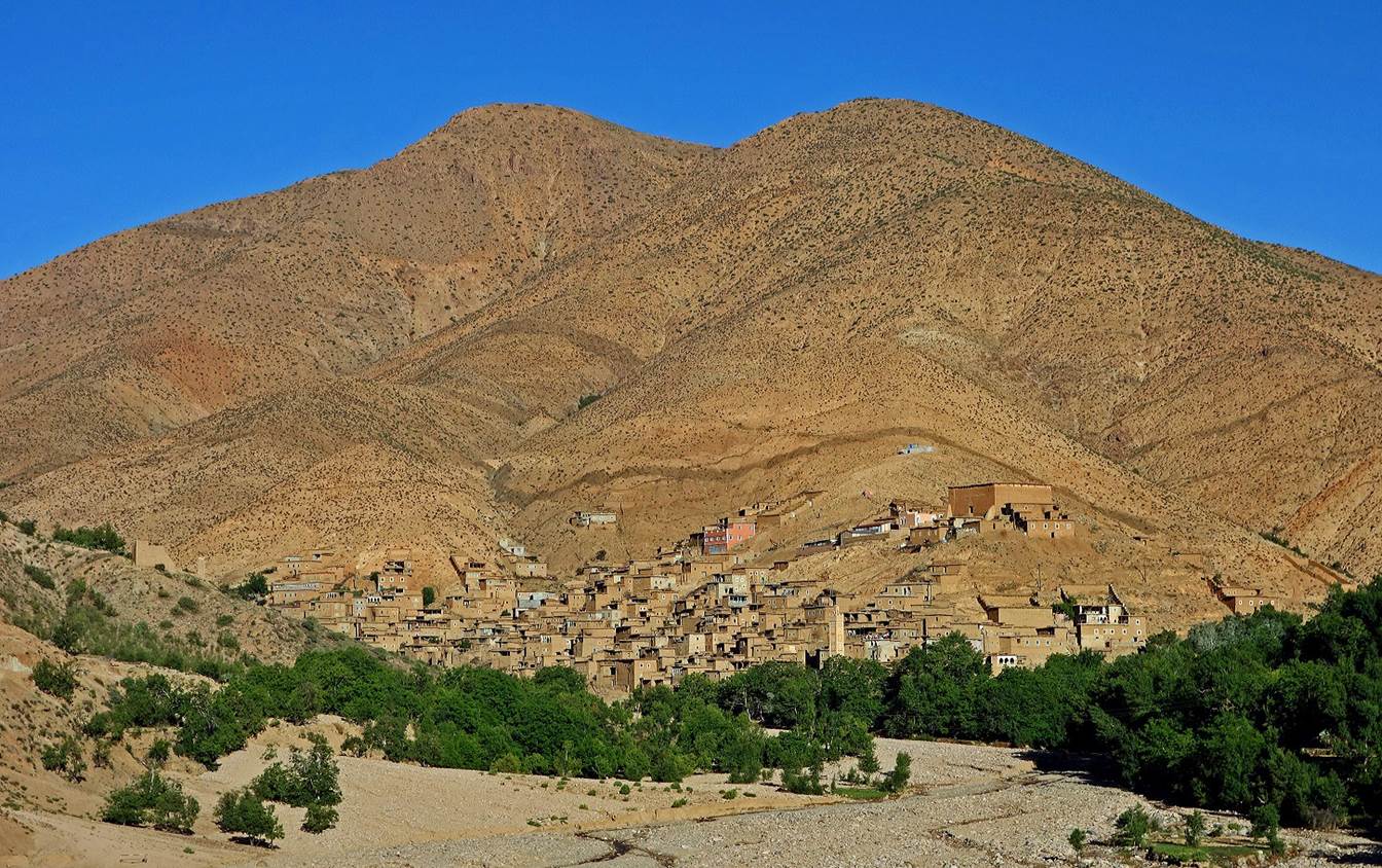
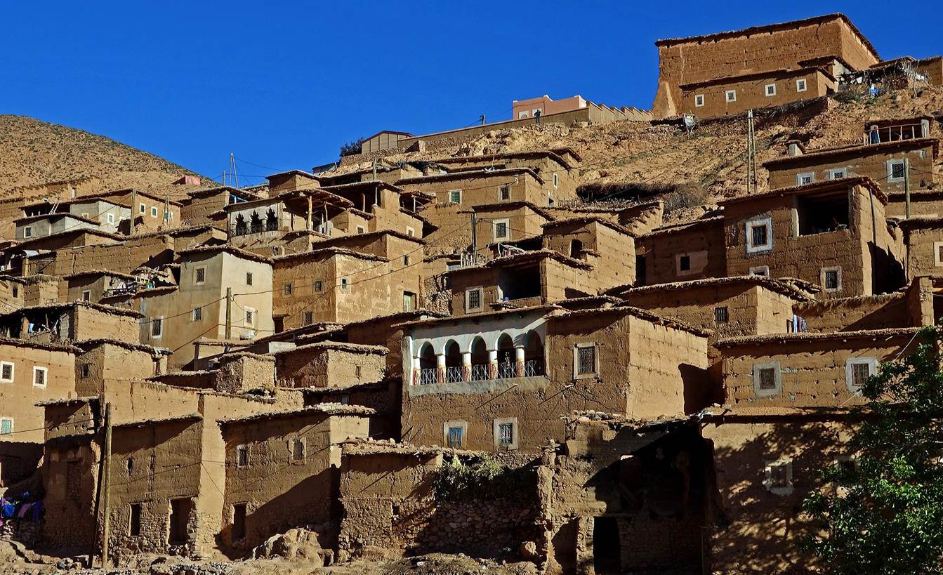
The
village of Ikis (misplaced on the wrong side of the
river in the topographic map).
|
|
|
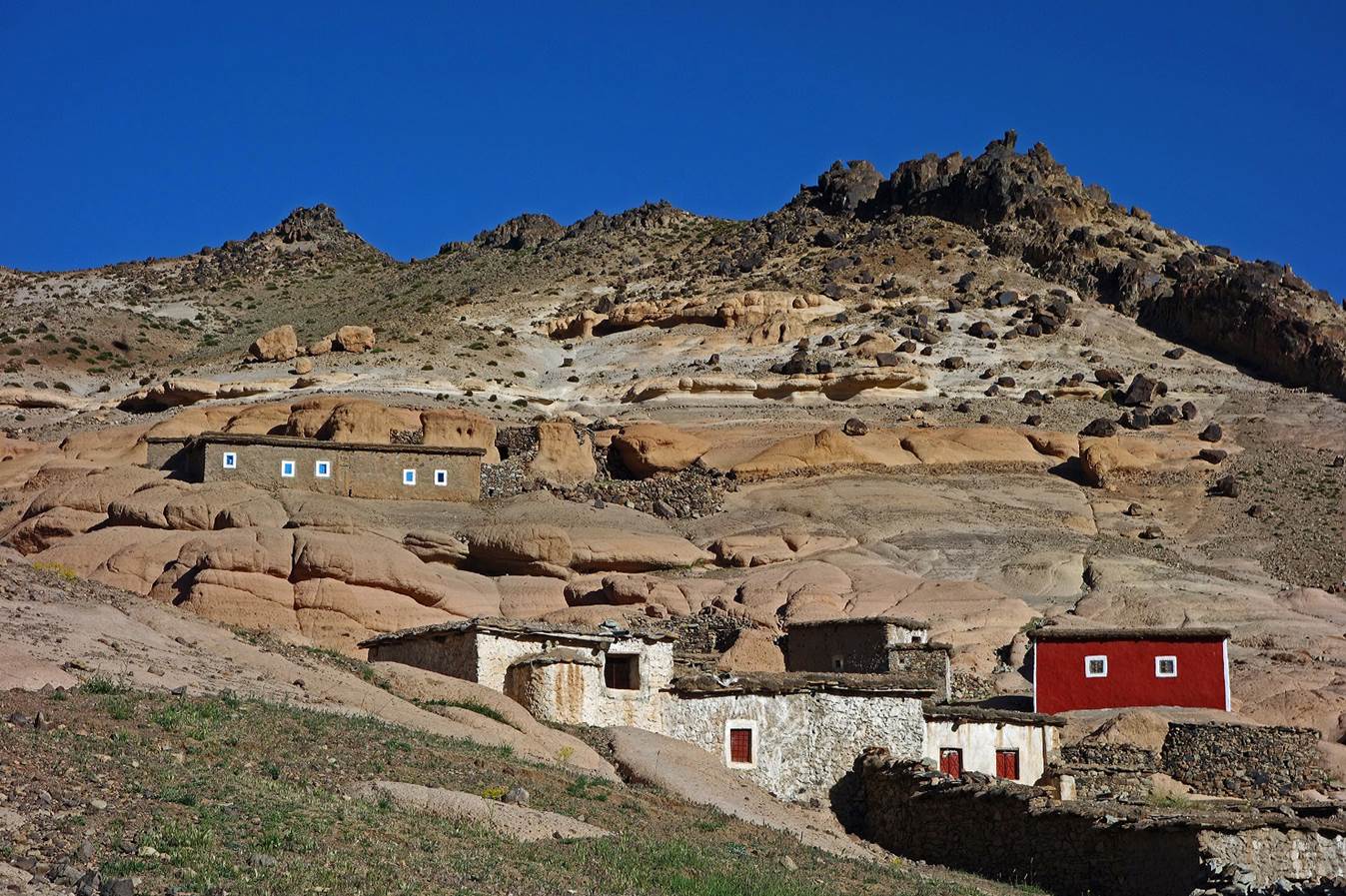
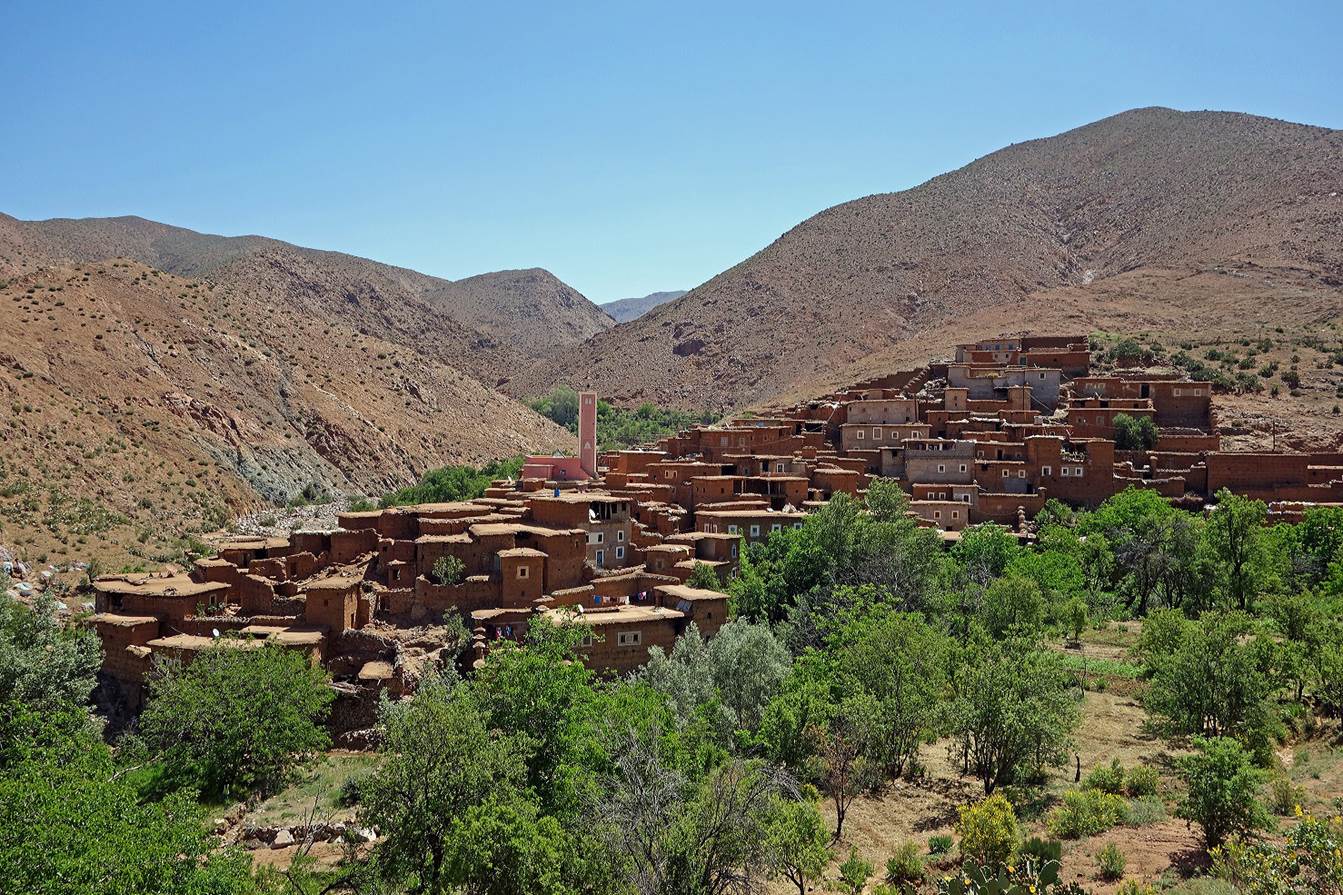
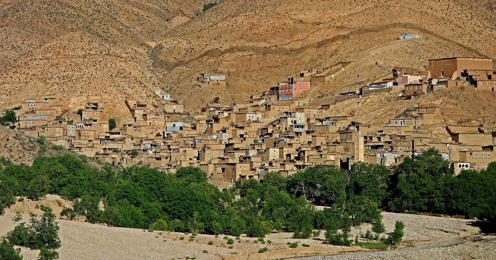
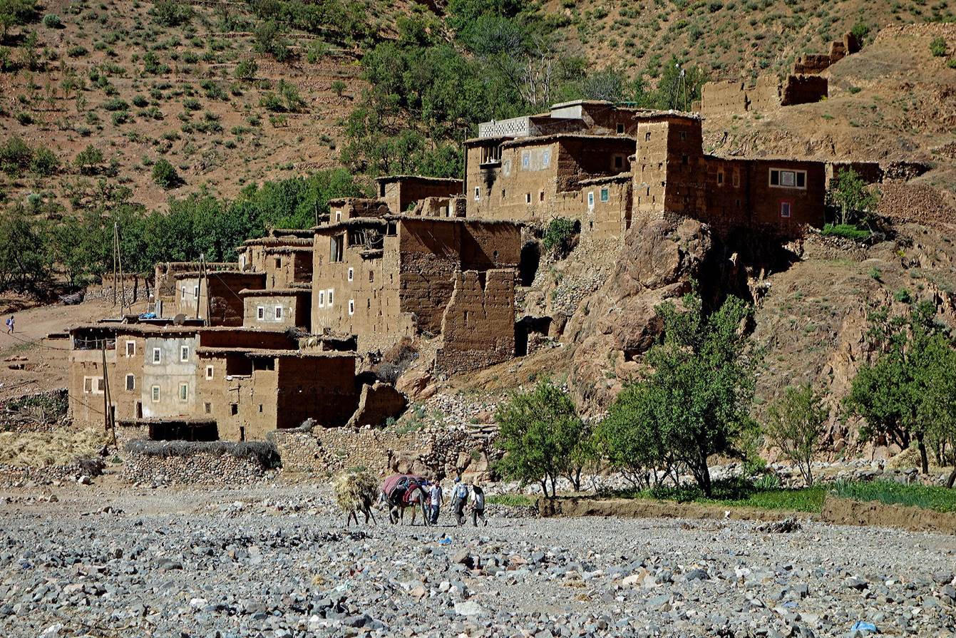
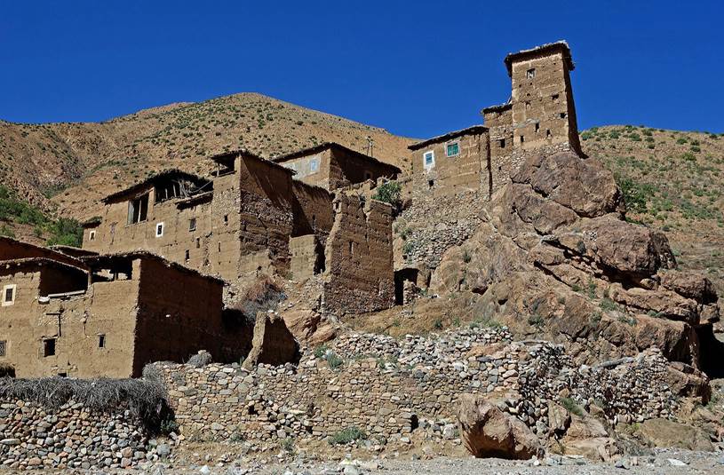
A
smaller village higher up in the valley of Assif-n-Oumoumen.
|
|
|
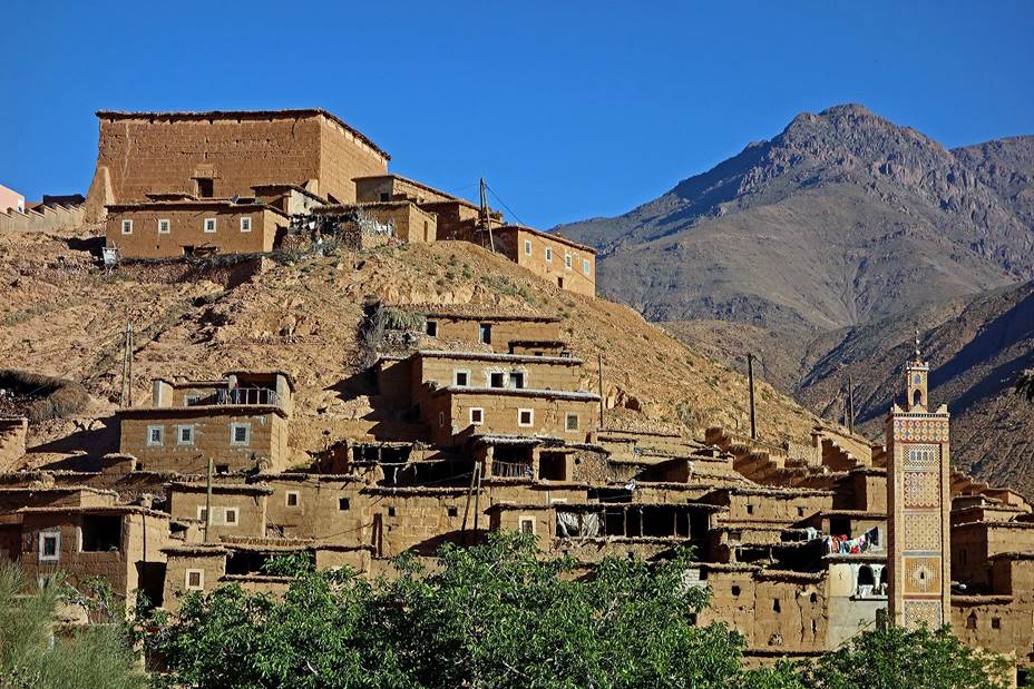
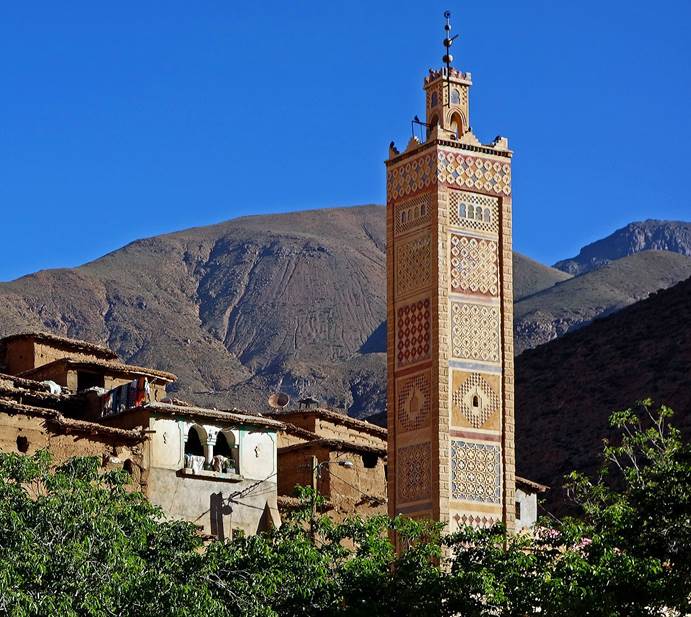
We
then left the valley of Assif-n-Oumoumen to climb a
steep trail toward Tizi-n-Zaout. Below, the small
mosque in the last village before the pass (WP 06-01).
View
of the valley of Assif-n-Oumoumen during the climb to
the pass. The last village we crossed is visible in the middle of the photo.
The small cone on the center-left of the skyline in the far background is Jebel
Sirwa.
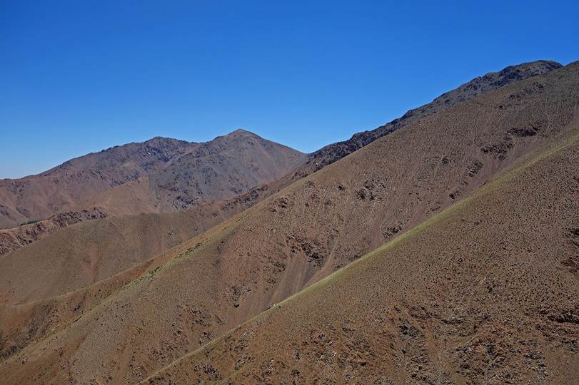
Views
of Jebel Zaout (3001m) on the left and Tizi-n-Zaout (2600m) on the right.
|
|
|
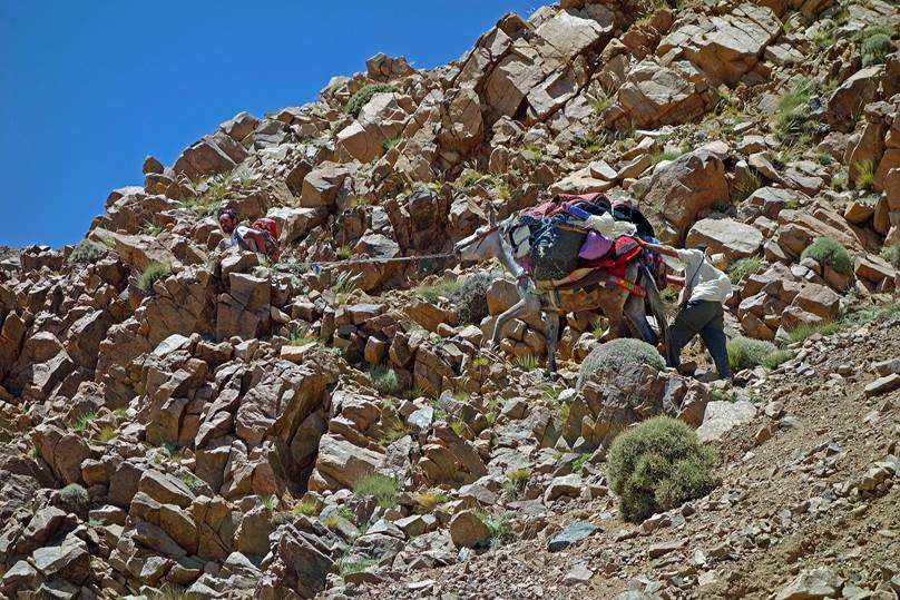
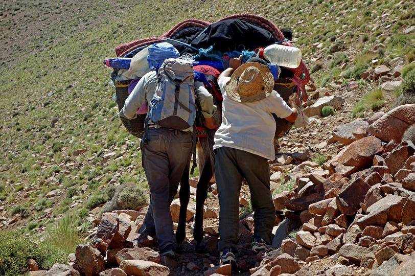
The
narrow trail had been damaged in several placed by the previous storm. The mule
had to be both pulled from the front and pushed from the back to overcome some
sections.
|
|
|
Finally,
the whole team reached the pass.
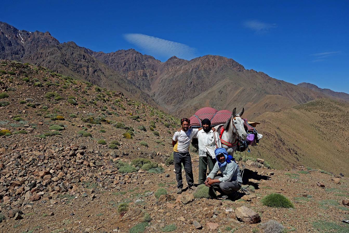
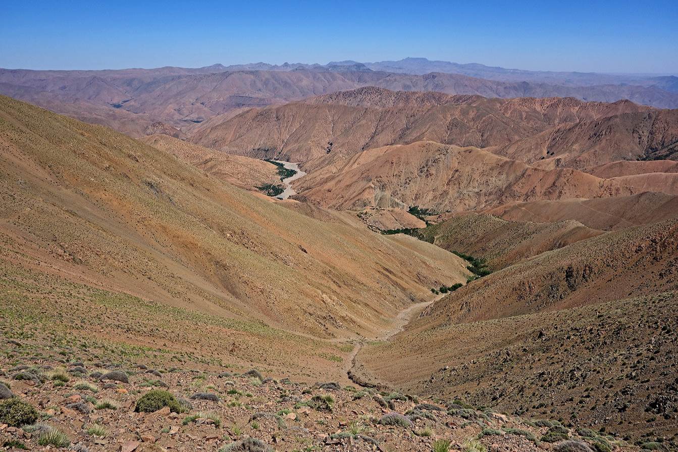
View
from the pass into the valley of Assif-n-Ouanoukrim.
Start
of the descent into the valley of Assif-n-Ouanoukrim,
with Jebel Ouanoukrim in the close background.
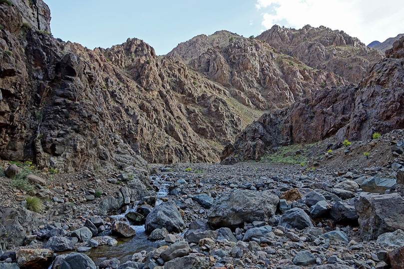
After
a steep descent we reached Assif-n-Ouanoukrim...
...and we set our camp near the river under the protection of
big boulder (WP 06-03)
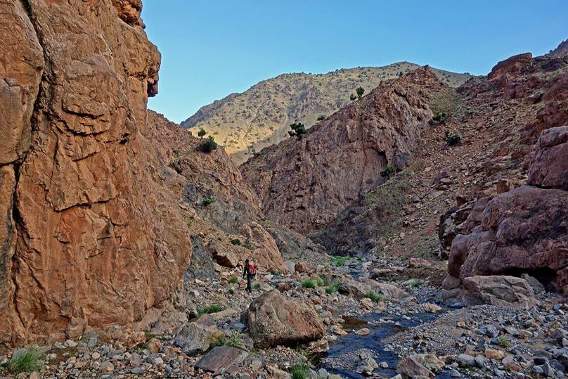
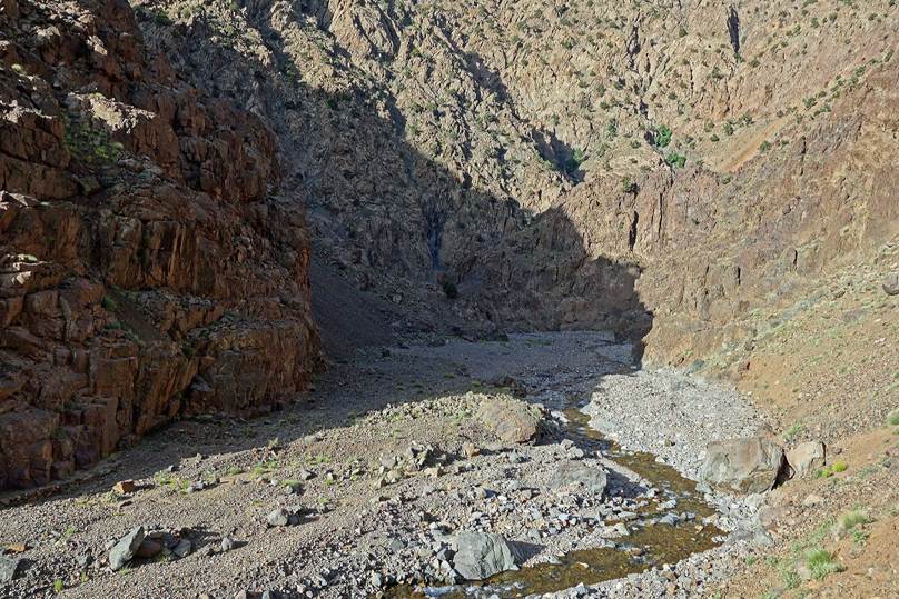
On
the next day we first hiked down the relatively narrow canyon of the river.
|
|
|
|
|
|

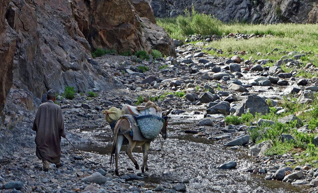
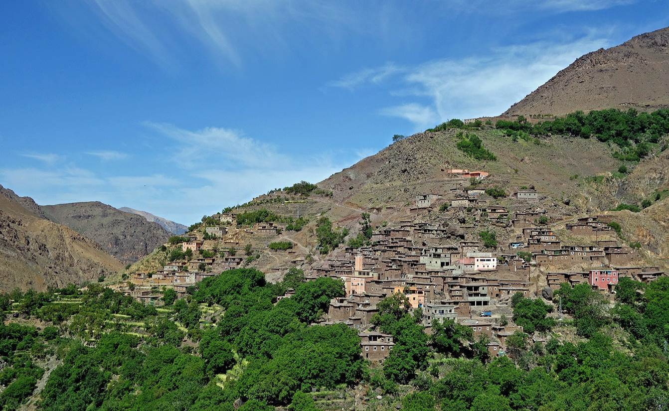
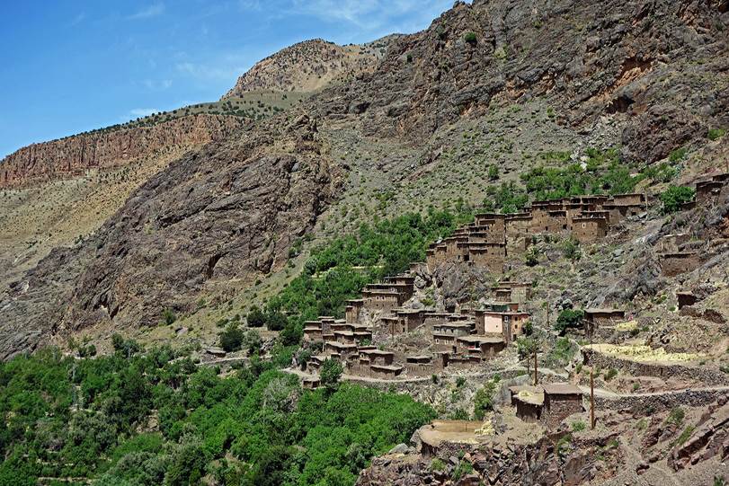
Later,
we started encountering local people and then we passed by several villages.
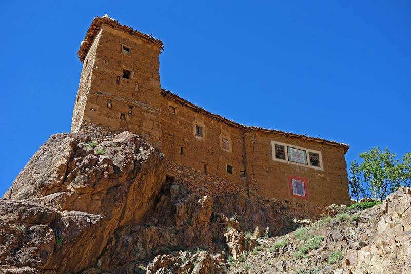
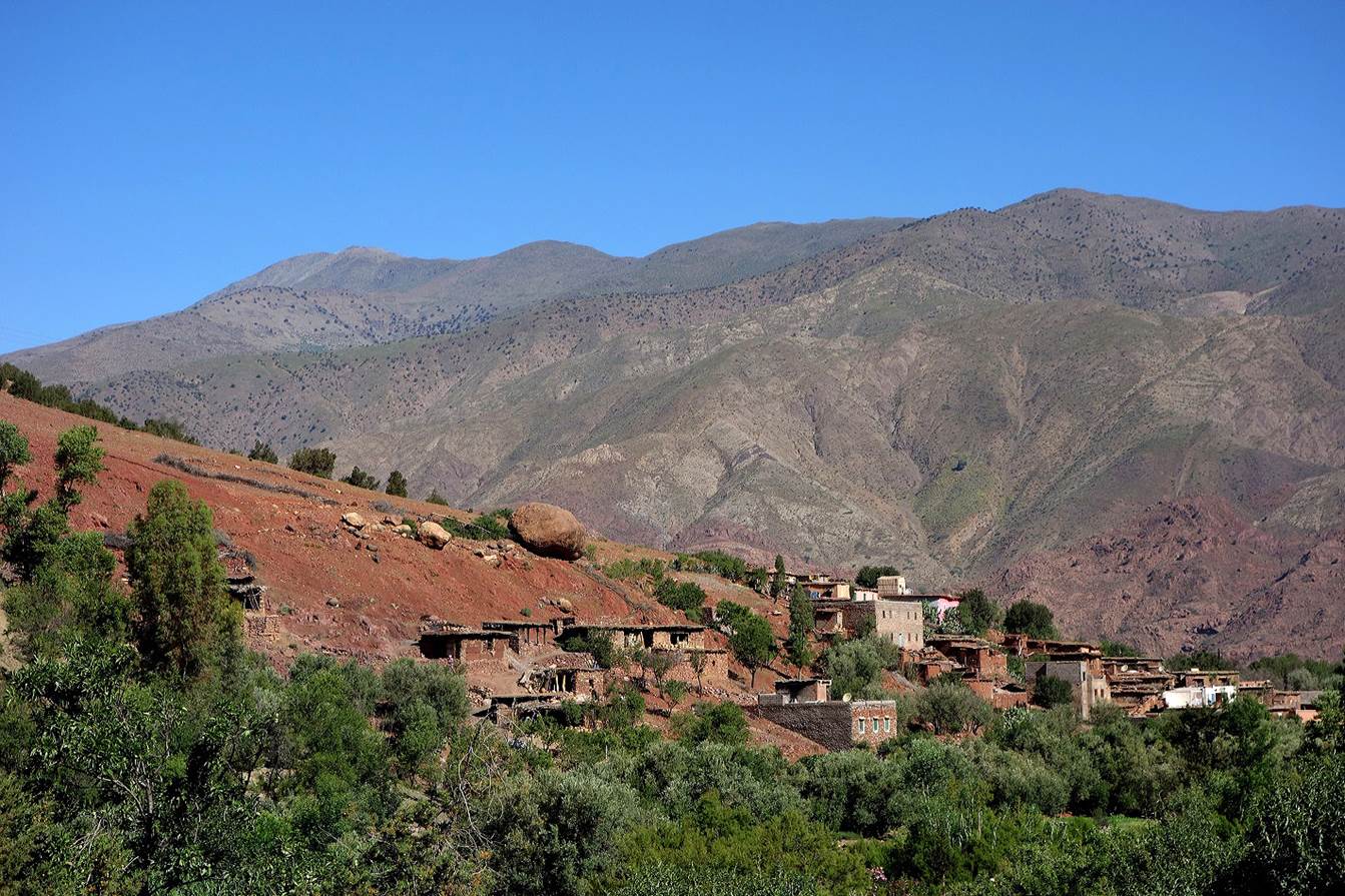
Village
of Ait Ayoub.
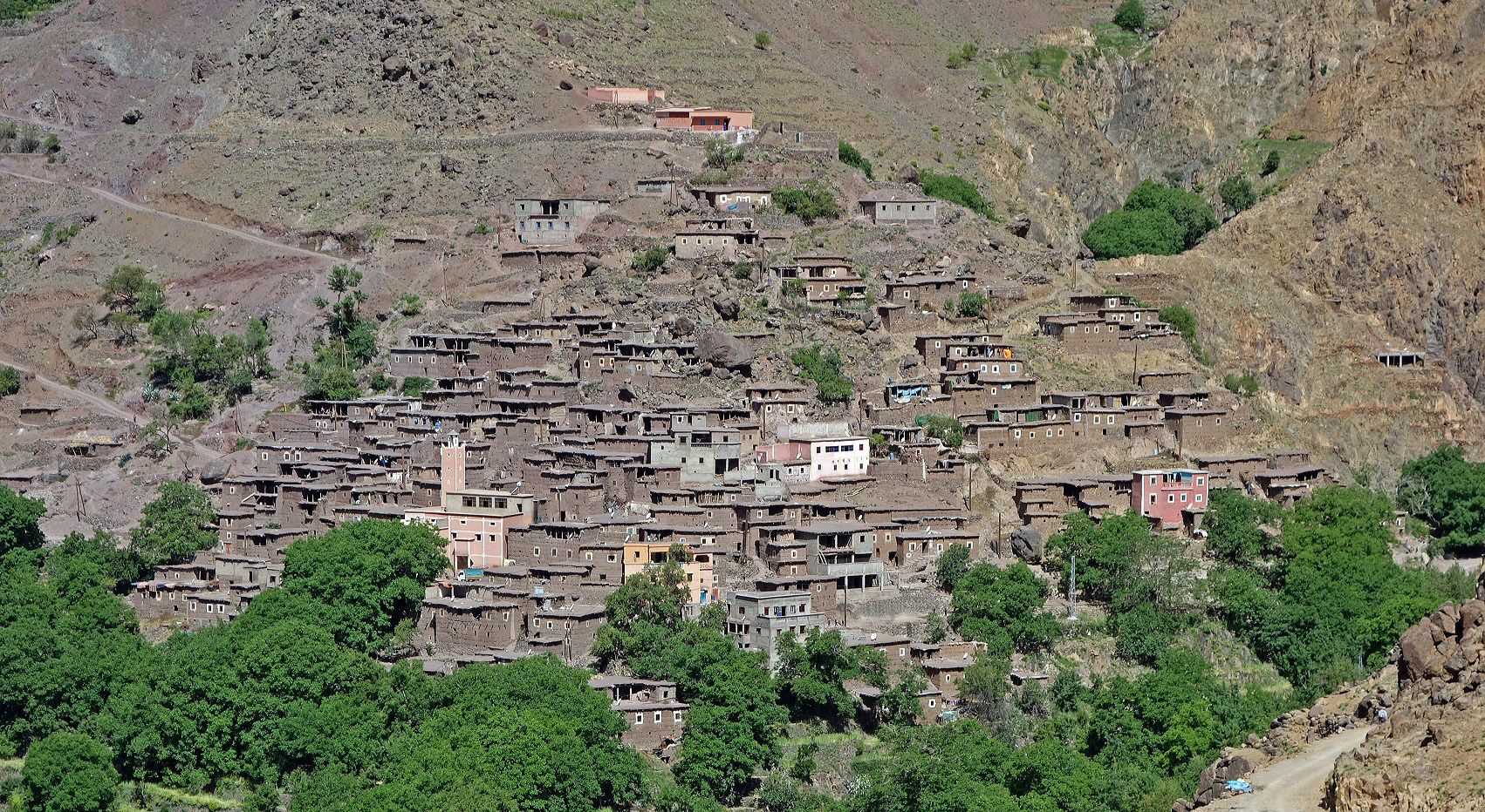
Village
of Taghaghist (WP 07-02), where we spent a night in a
″gite″ (sort of guesthouse).
|
|
|
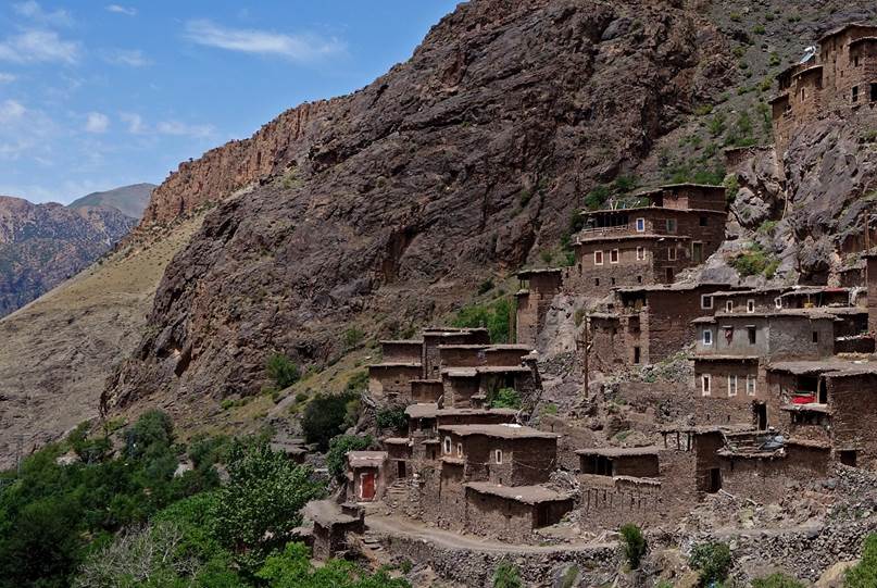
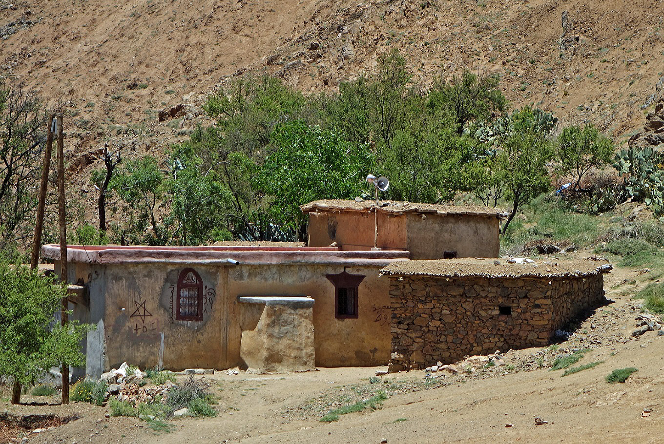
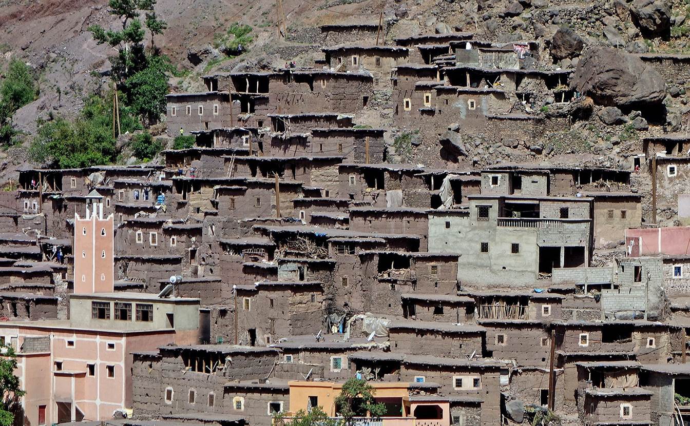
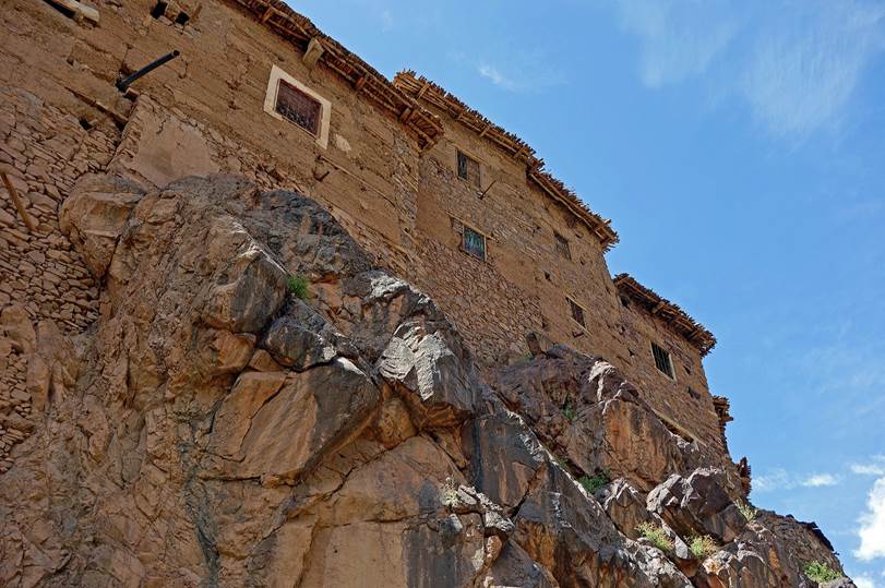
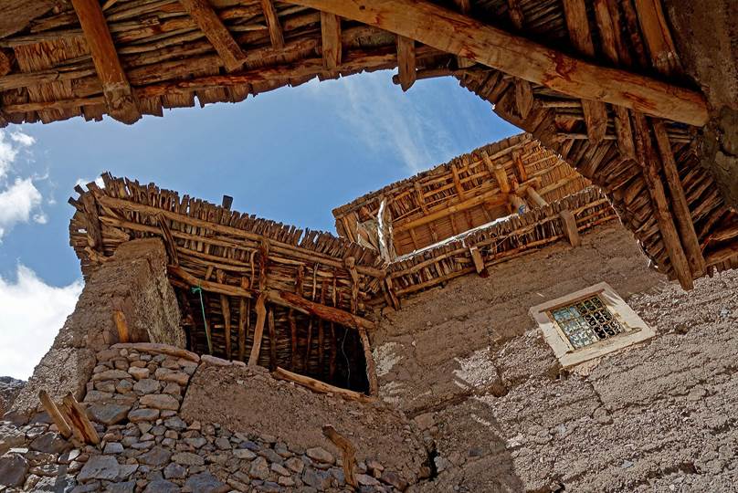
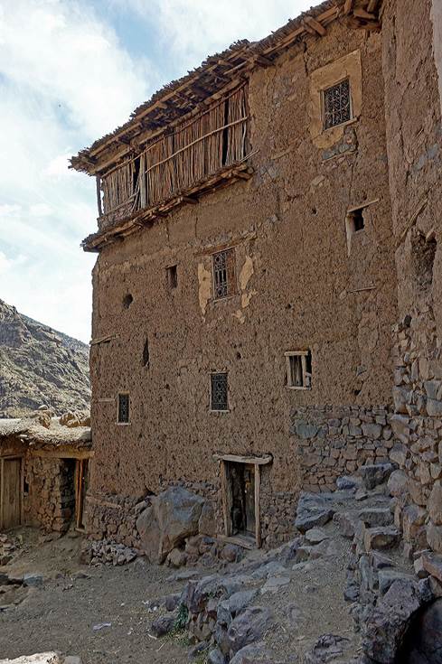
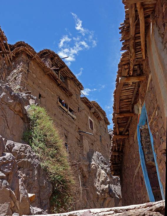
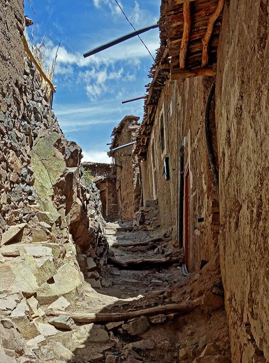
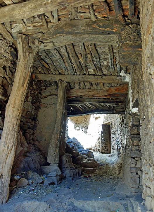
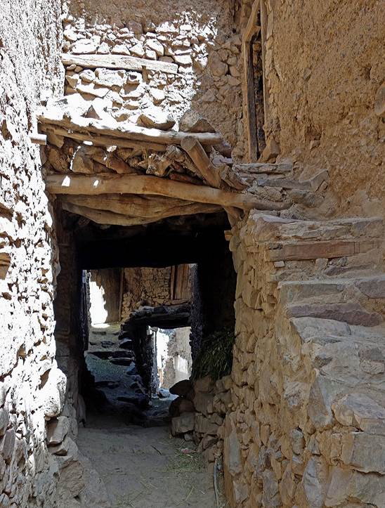
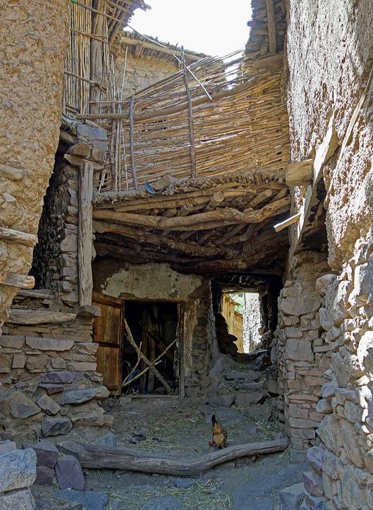
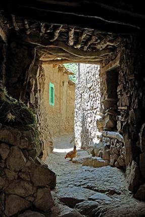
Houses
and streets of Taghaghist.
|
|
|
|
|
|
|
|
|
|
|
|
|
|
|


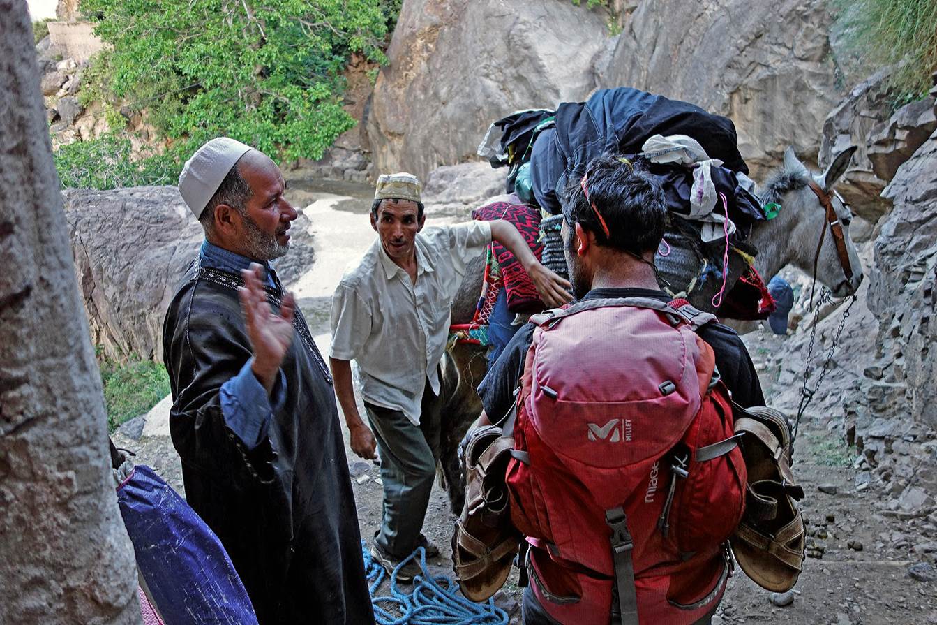
Leaving
Taghaghist. The gite‛s owner (on the left) was
also the muezzin of the village.
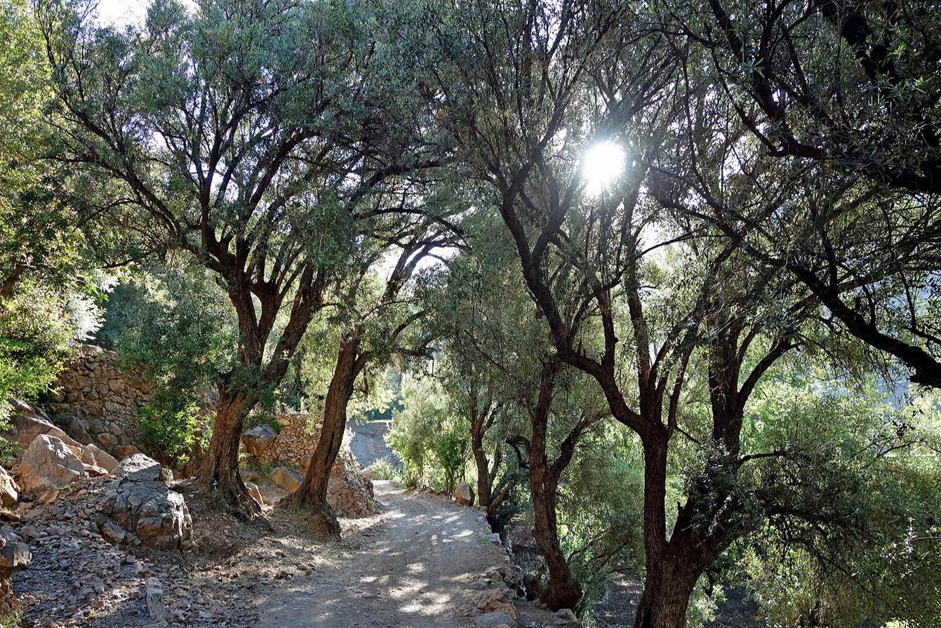
In
the shade of olive trees.
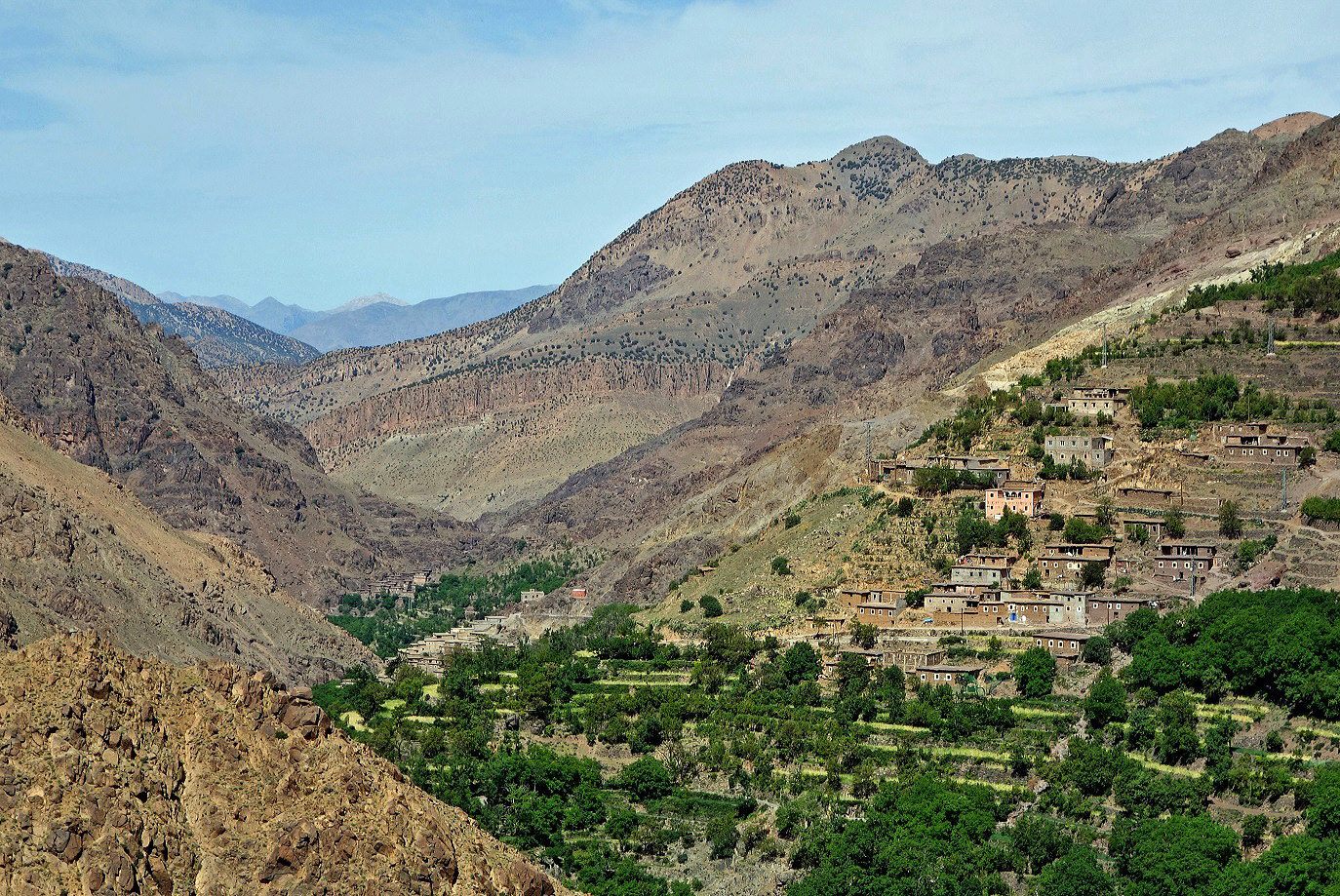
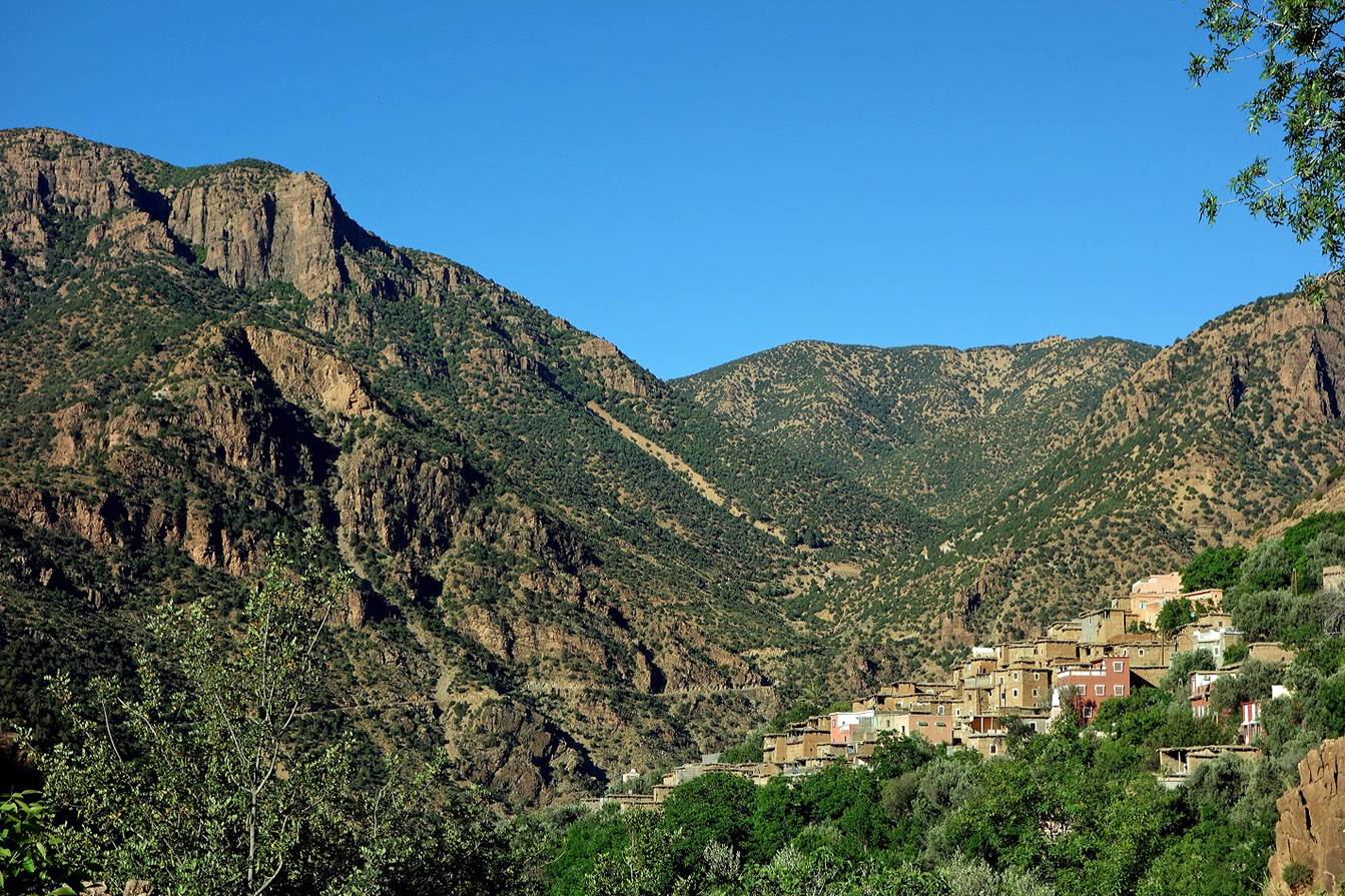
Another
village further down.
We eventually reached a paved road along Assif-n-Ougandis (WP
08-01). We had to hike about 7kms on this road to reach Ijoukak. Fortunately,
there was very little traffic.
Reaching Ijoukak, with Jebel Gourza (3280m) visible in the
background, which we will ascend three days later.
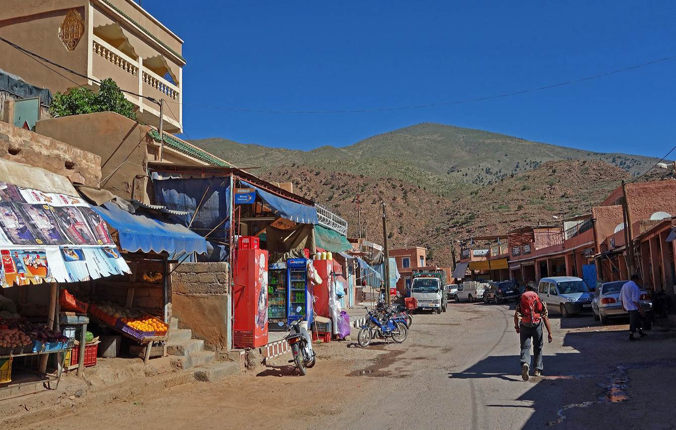
Ijoukak is a small stopover town on the road from Marrakesh
to Tizi-n-Test and Taroudant. We bought food for the rest of the trek and spent
the night in a local gite.
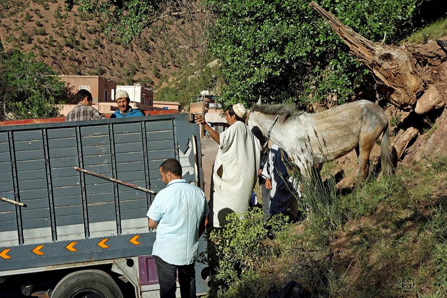
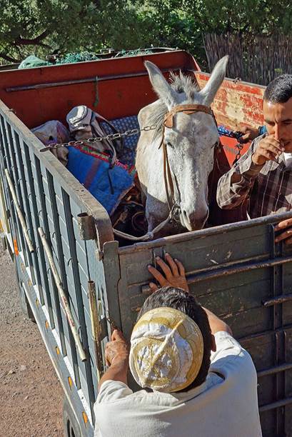
In Ijoukak, we also changed mule and muleteer. To facilitate
the return trip of the two muleteers (the two Abderrahmane) who had been with us since day 1, Oumar arranged for
a pickup truck to carry them and their mule back home in southern Sirwa.
|
|
|
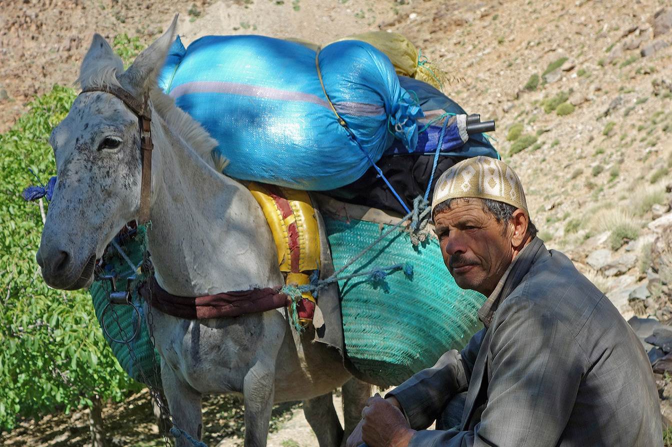
Our
new muleteer (Mohamed) was a good friend of Oumar.
From
Ijoukak we headed west and then north to cross the
High Atlas through Jebels above Amezmiz (stage
3).
![]()