High Atlas, Morocco (March 1977): Trek south of Beni Mellal
![]()
Return to my
mountaineering/trekking/travel webpage
This page shows photos
of my first trek in the High Atlas, in March 1977. Back then I had no
topographic maps of the High Atlas, I did not write notes, and I took
relatively few photos. So, when I created this page in May 2020, 43 years later,
my recollection of the itinerary was somewhat fuzzy and uneven.
Beginning from the
road between Azilal and Ait
M′Hamed (south-west of Beni
Mellal) this trek traversed low-elevation mountains to reach the village of Tillouguite.
It then crossed a pass (called Tizi n′Smekt in the map below) into the gorge of the Assif Melloul and followed this
gorge up to the village of Anergui. From Anergui it went north across a couple of mountain passes and
then east to reach a road leading to Taguelft
(south-east of Beni Mellal).
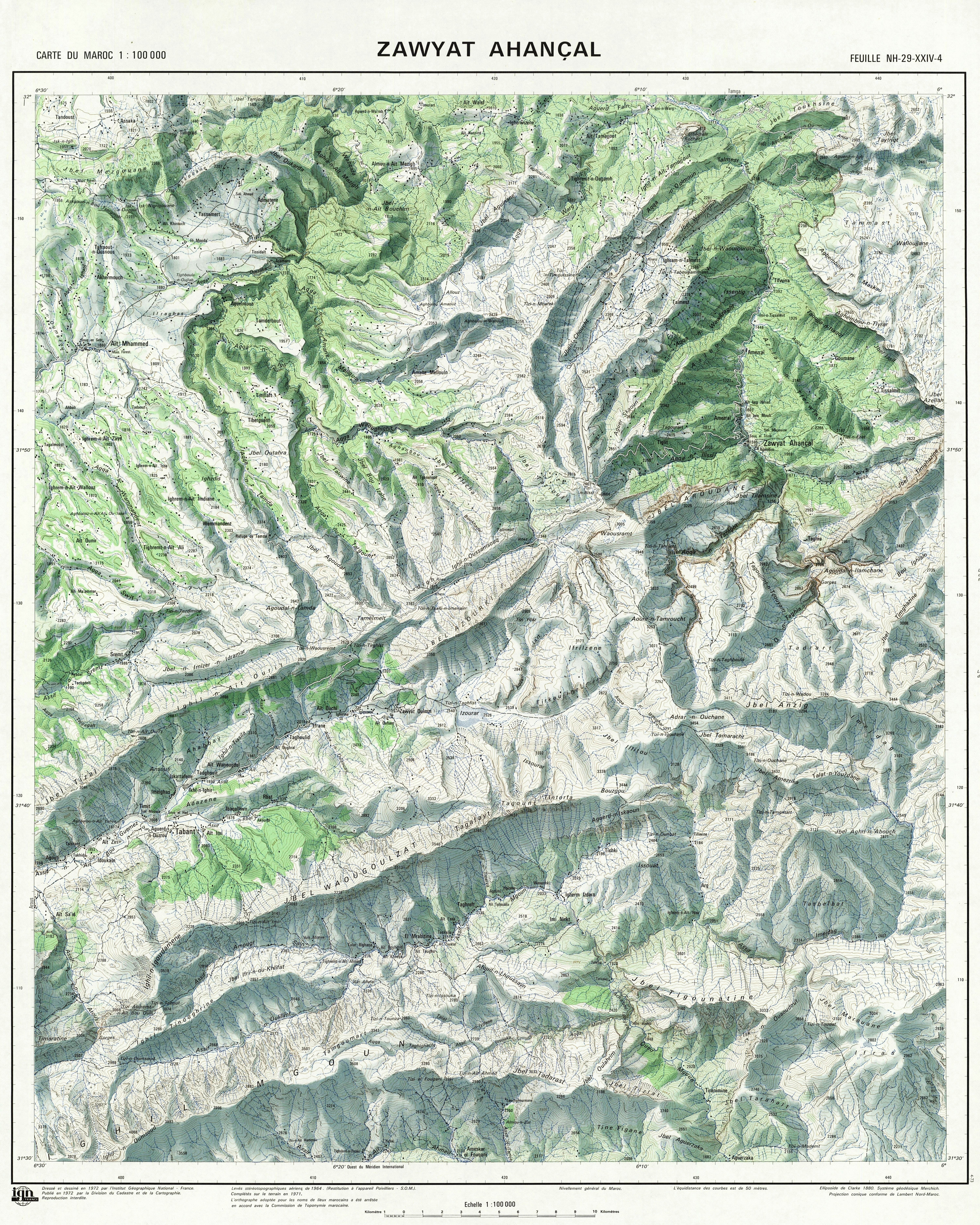
This itinerary is
sketched in dashed red line in the topographic map below. My memory of the
itinerary between the start of the trek and Tillouguite
was very rough, so the corresponding portion of the itinerary is only an
approximation, at best. The portion between Tillouguite
and Anergi is likely to be accurate. The rest of the
itinerary beyond Anergui is the most probable one,
but may not be completely accurate.
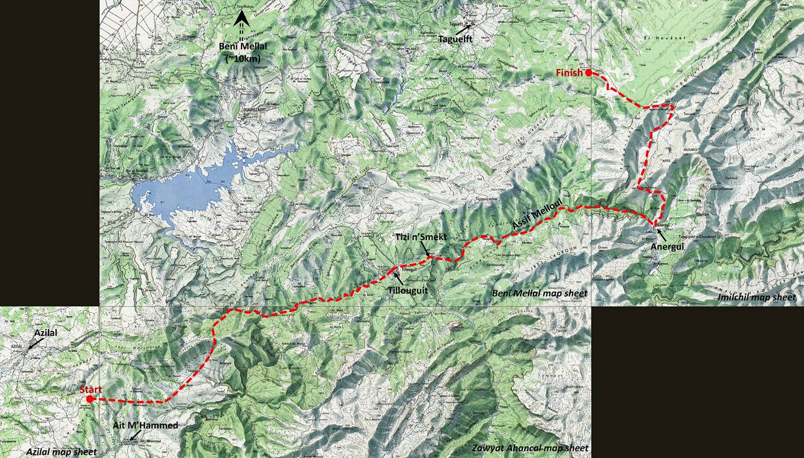
This
map overlaps four 100K topographic sheets of Morocco: Azilal, Zawyat Ahancal, Beni Mellal, and Imilchil. (Click here
for a helpful collection of topographic maps of Morocco.)
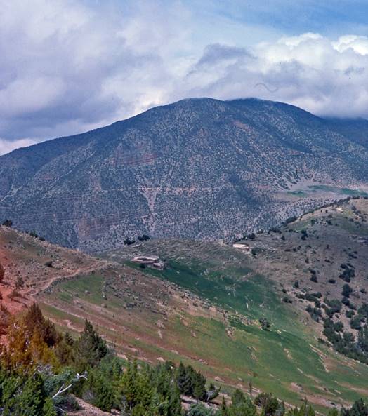
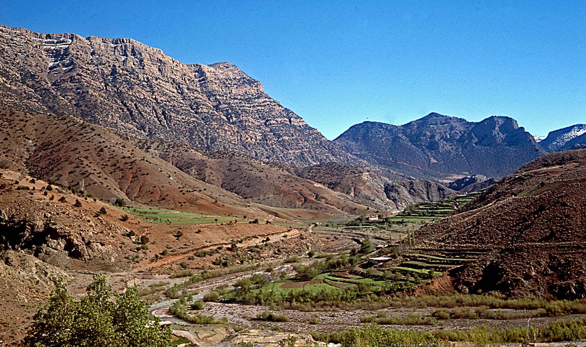
Landscape at the
beginning of the trek.
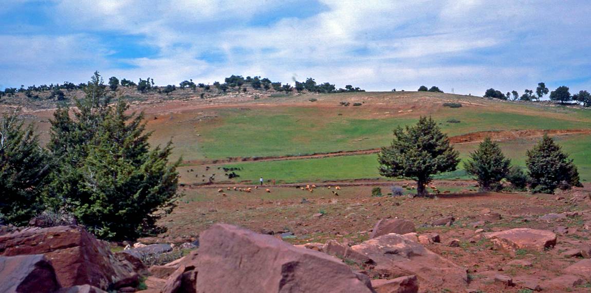
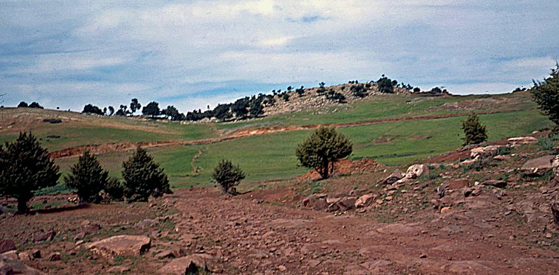
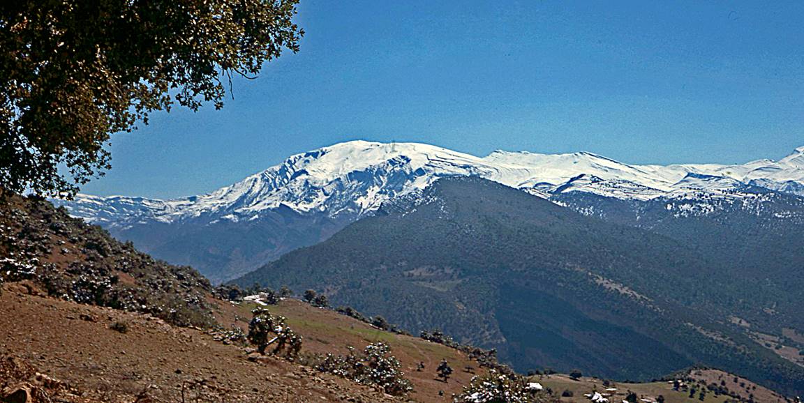
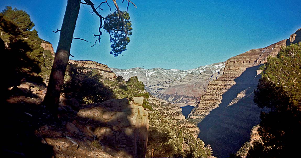
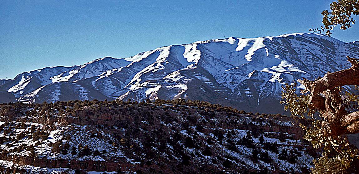
View toward the
south, with Jbel Azourki
(3677m) in the background.
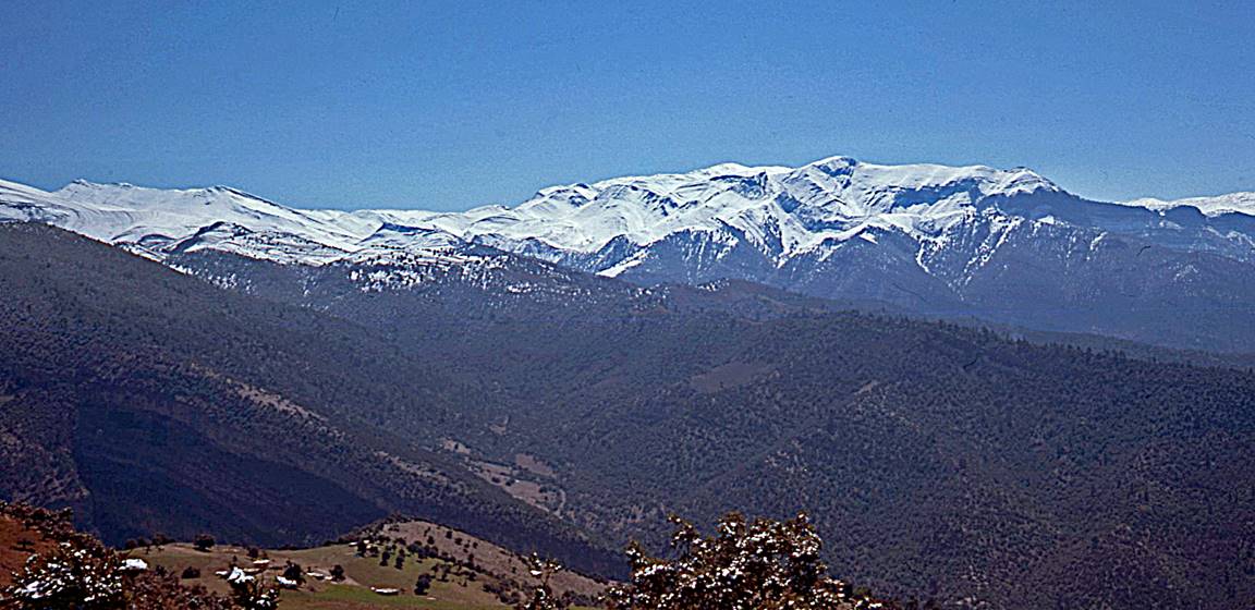
In the mountains
between Ait M′Hammed
and Tillouguit.
|
|
|
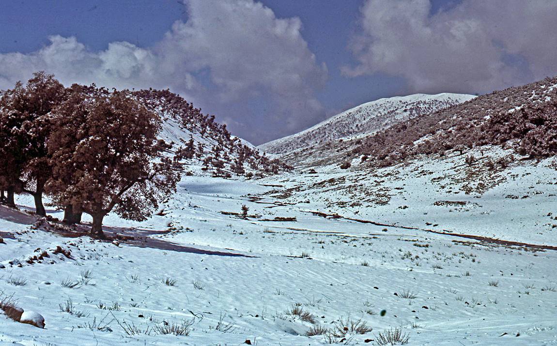
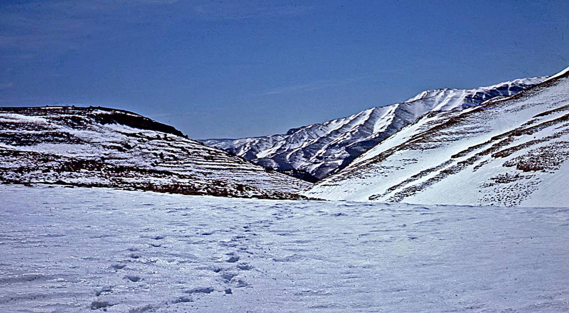
Start of a snowfall in
the mountains on a late afternoon.
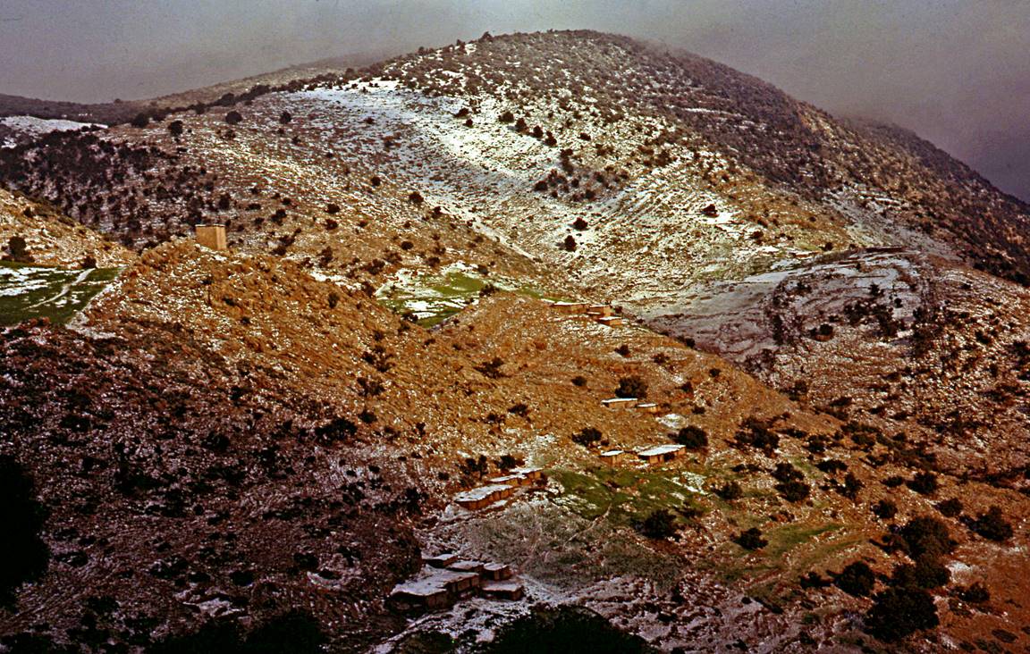
On the next morning
after the snowfall.

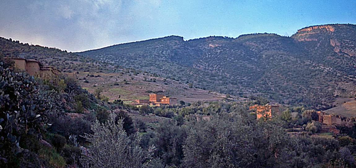
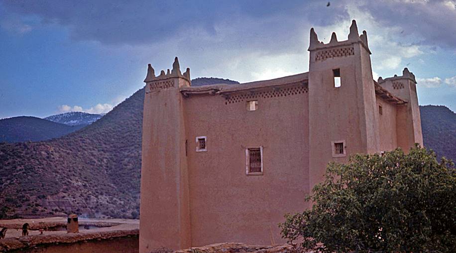
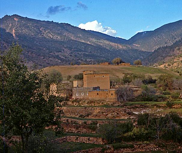
Houses and kasbahs, probably in and near the village of Tillouguit.
|
|
|
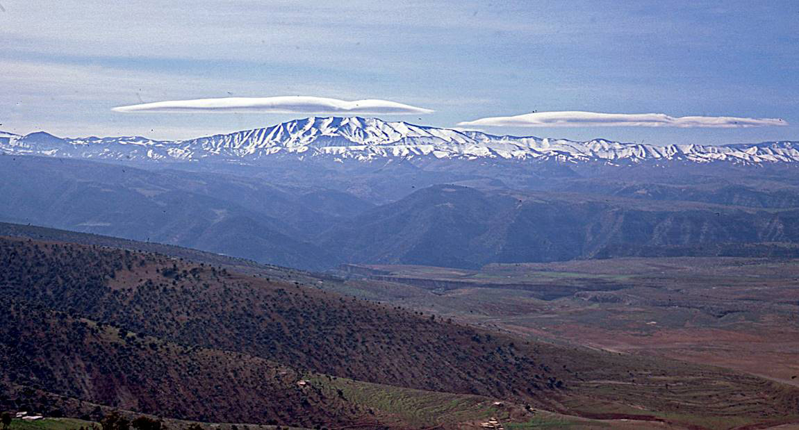
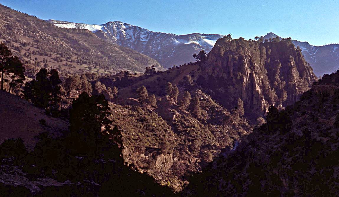
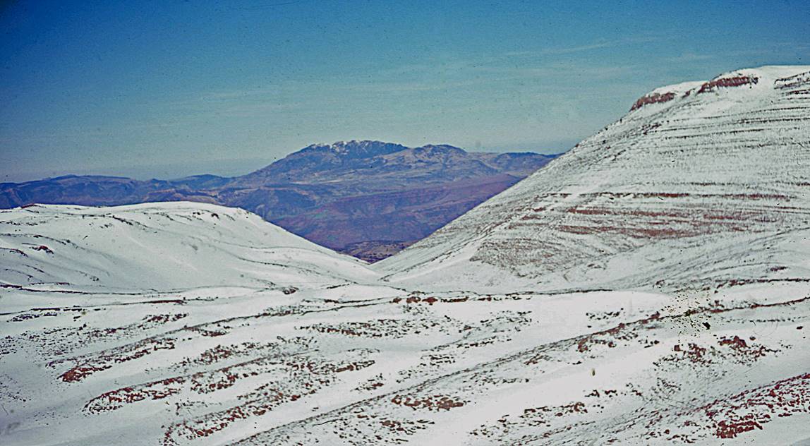
Views toward the
south from locations close to Tizi n′Smekt between Tillouguit
and the Assif Melloul.
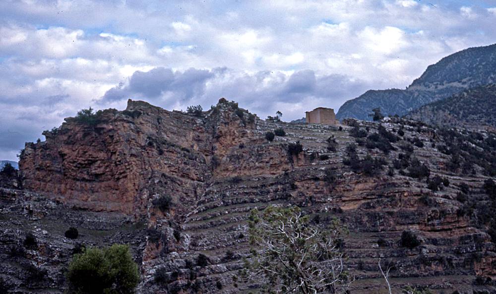
View over the
Cathedral (on the right) and the valley of the Assif n′Ahancal (center) toward the village of Zawyat Ahancal.

Views during the descent
into the gorge of the Assif Melloul.
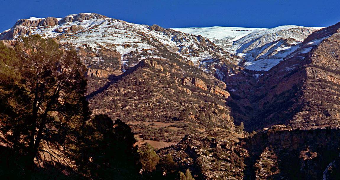
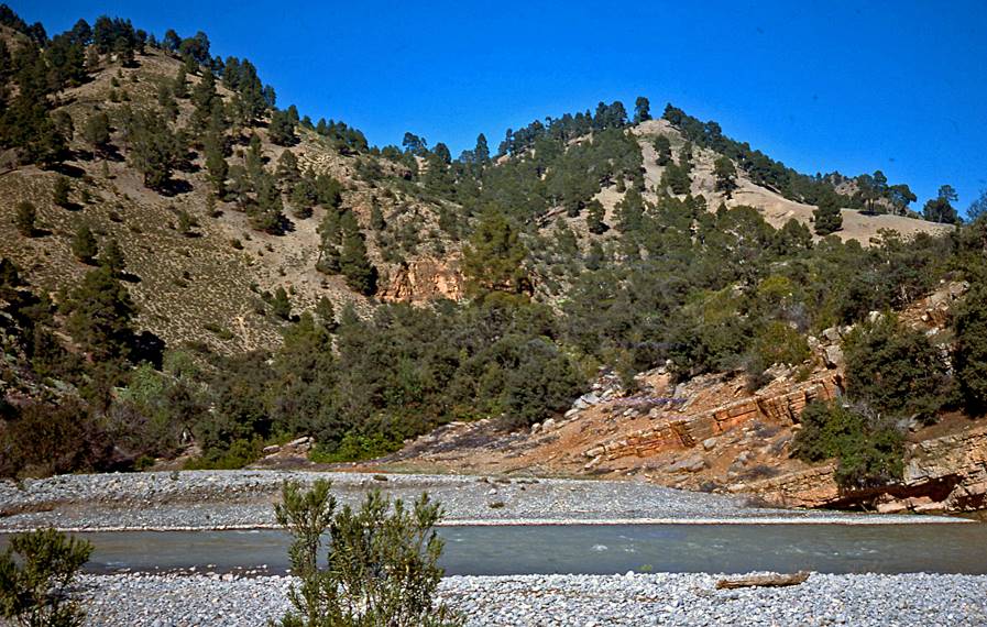
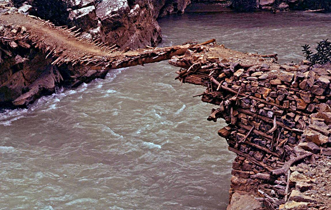
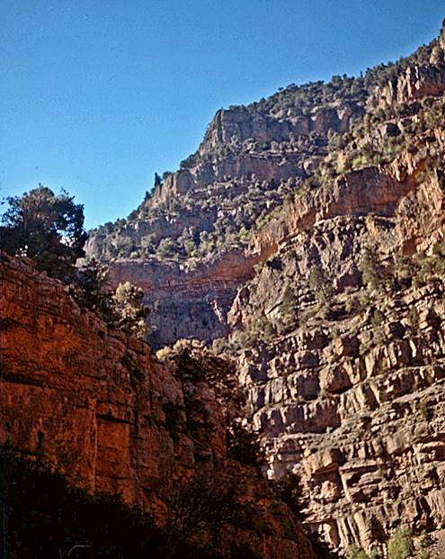
In the gorge of the Assif Melloul.
|
|
|
|
|
|
|
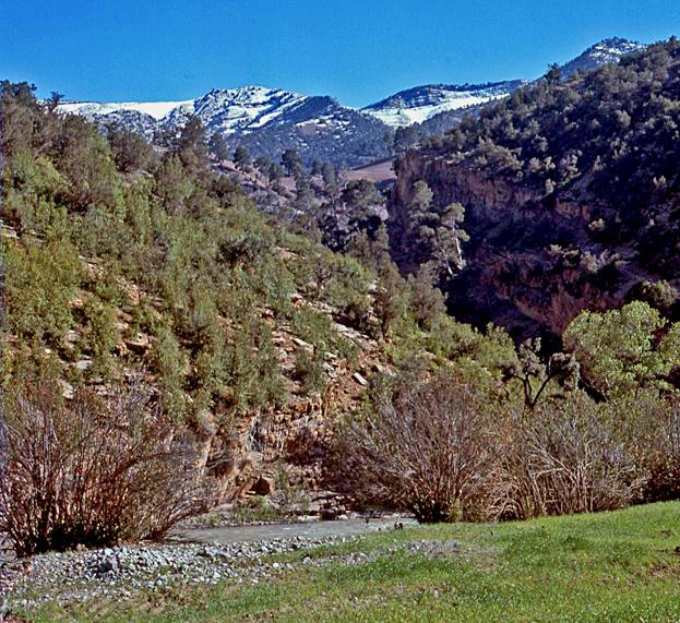
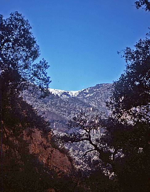
Valley of the Assif Melloul beyond the gorge,
soon before reaching Anergui.
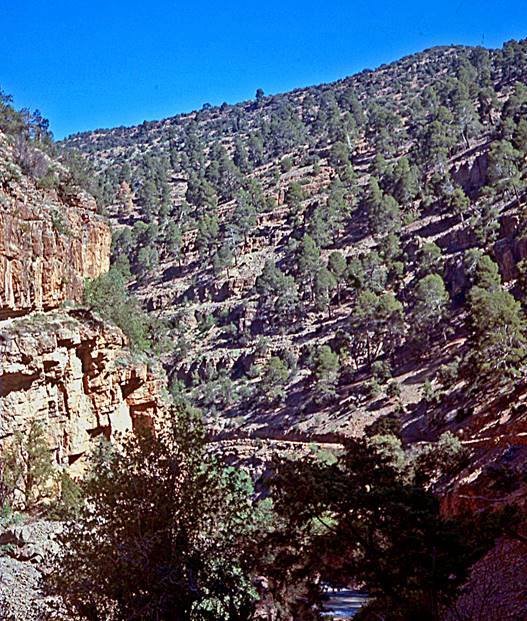
Above the gorge of
the Assif Melloul after
leaving Anergui.
View of a small
mountain range from the trail, first in the evening, then in the morning.

Crossing a last mountain
range (probably across Jbel Tingarlaft)
before the end of the trek.
![]()
Return to my
mountaineering/trekking/travel webpage