Trek
Around Djebel Mgoun (October 2003)
Return to my
mountaineering/trekking/travel webpage
These
are photos of a short trek that I did alone around Djebel Mgoun
in October 2003. I started the trek at the small village of Tatrarat
(south of Djebel Mgoun, north of Skoura).
I crossed the Atlas range at the pass between Djebels Mgoun
and Oumassine, to reach the source of Oued Tessaout. From there I crossed Tizi-n-Oumsoud
(pass) and went down along Assif Oulilimt (river) to
the
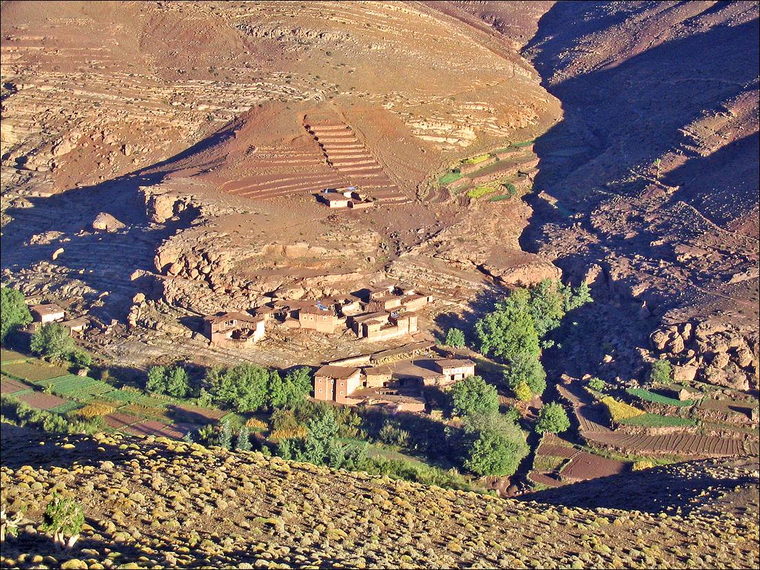
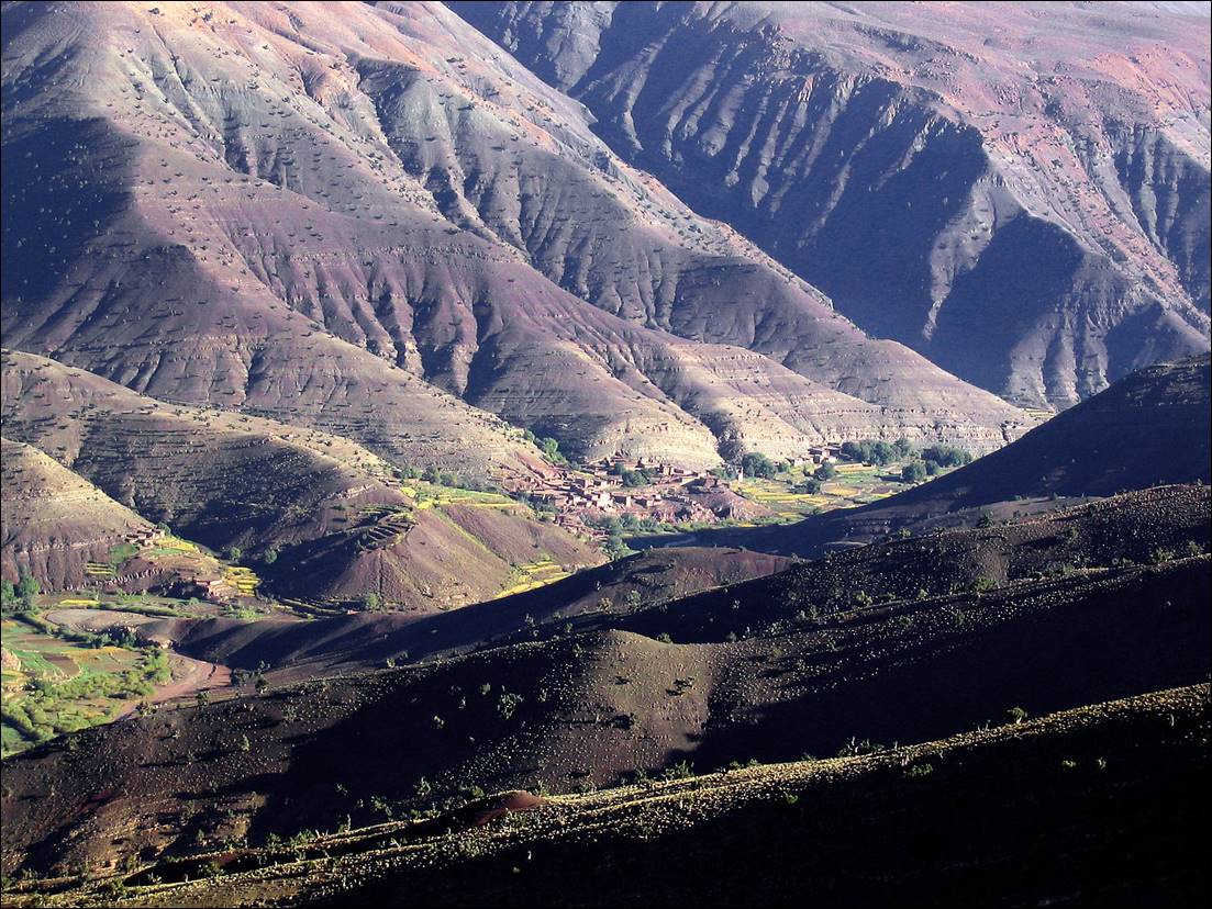
Views
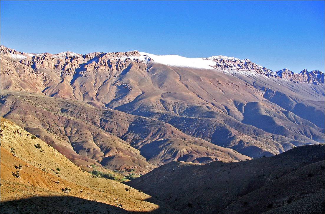
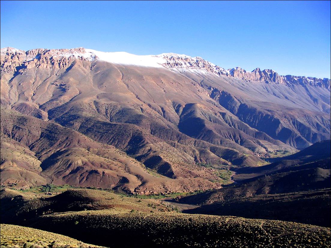
from locations above the village of Tatrarat.
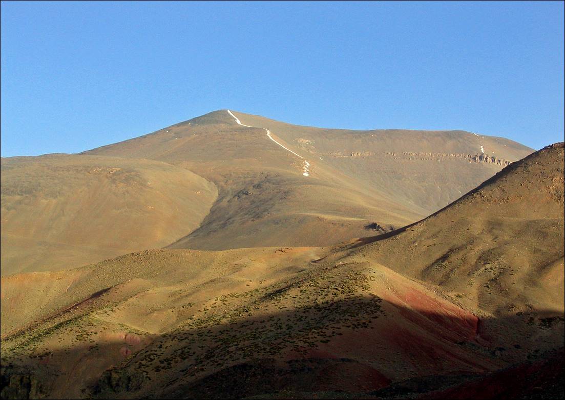
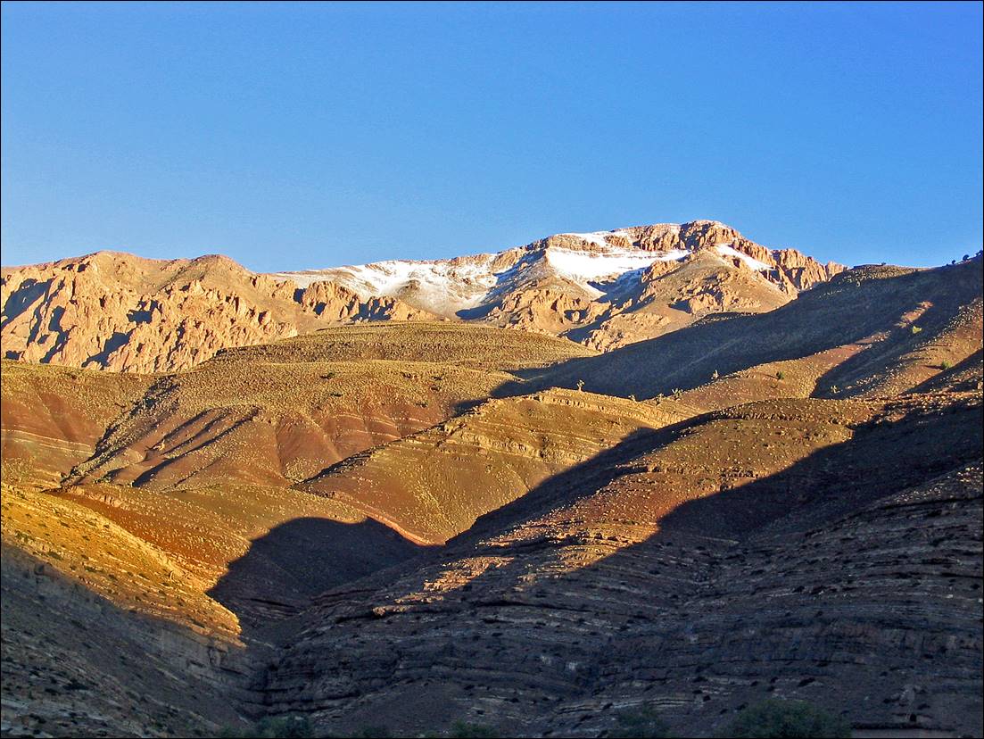
Djebel
Mgoun, 4068m.
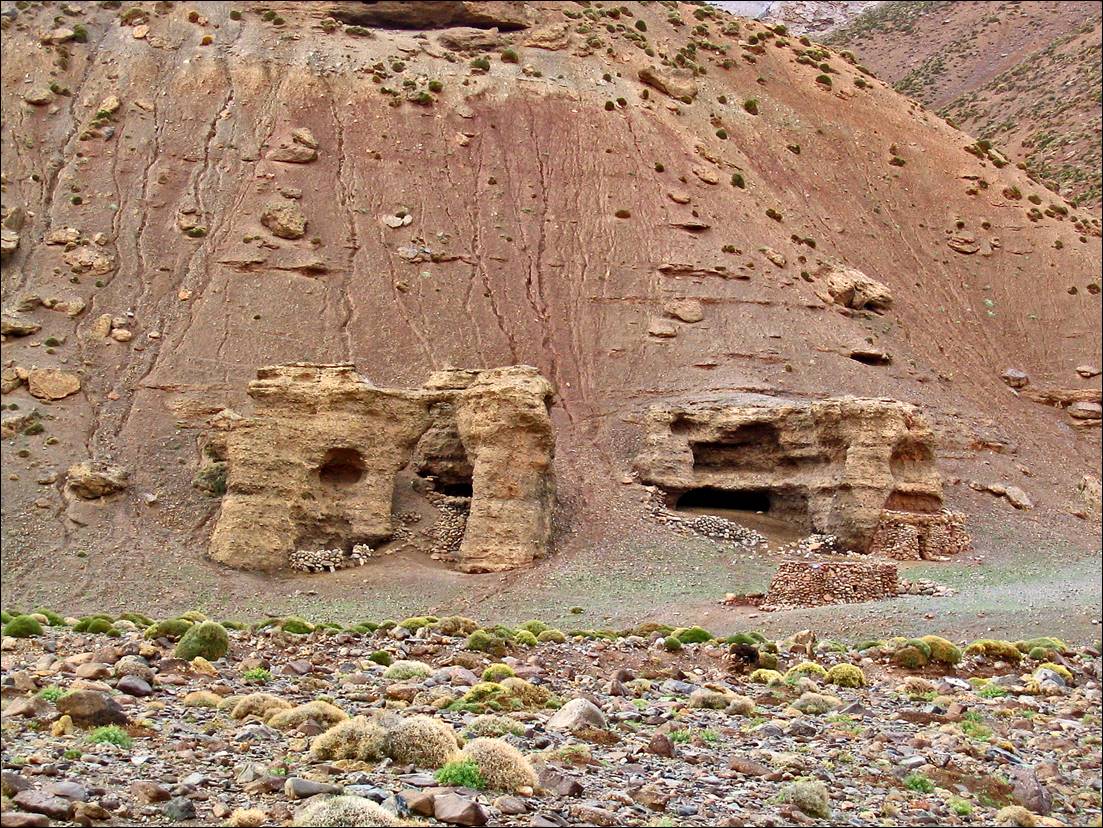
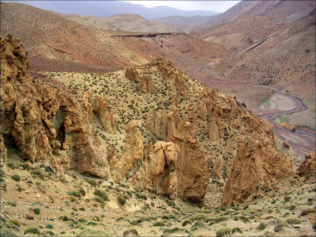
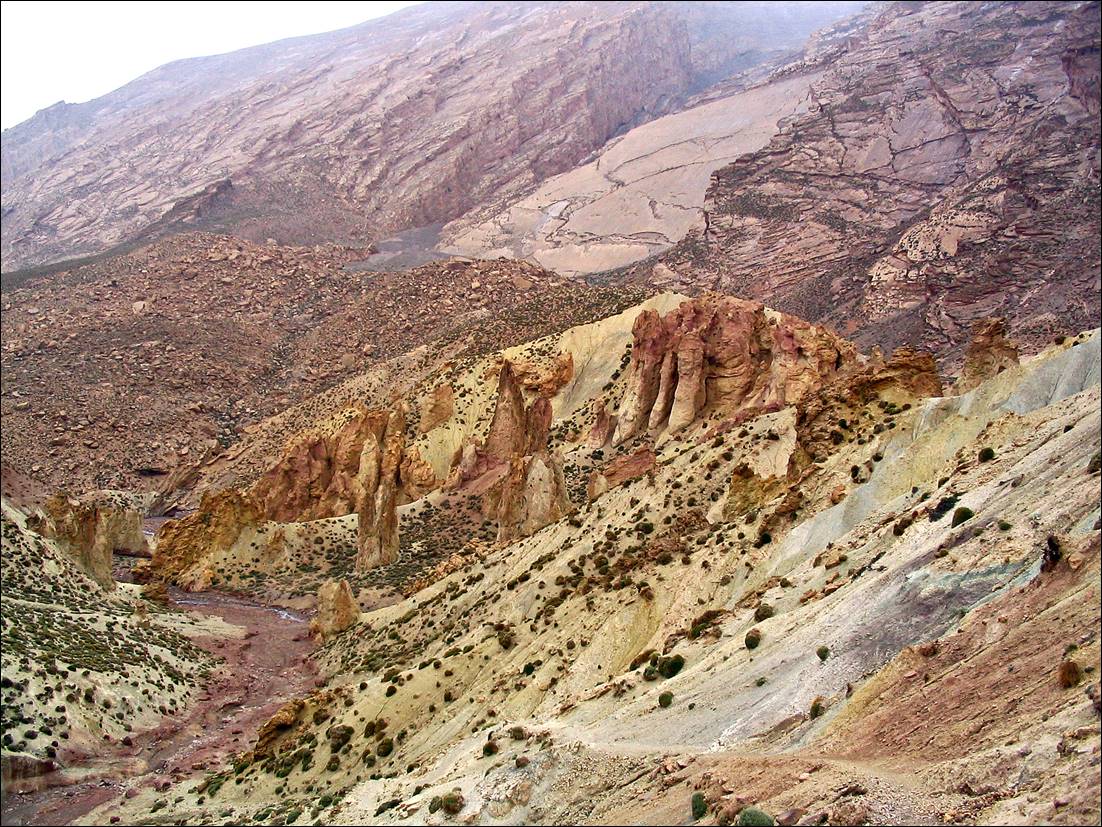
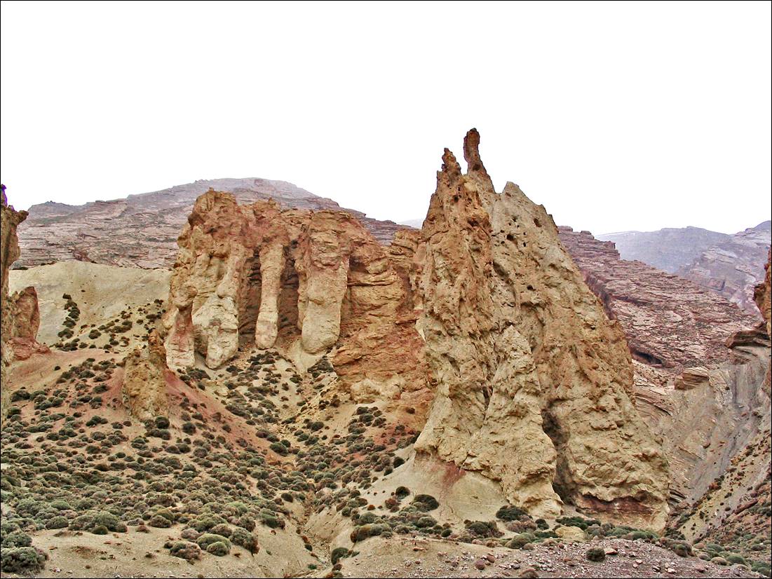
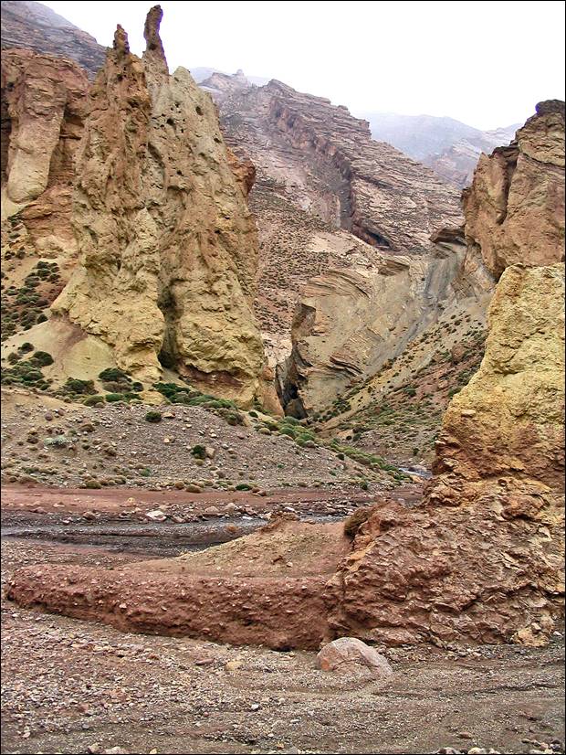
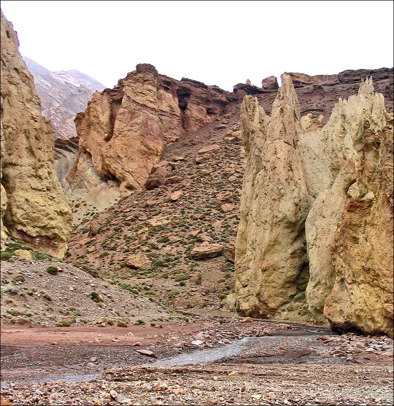
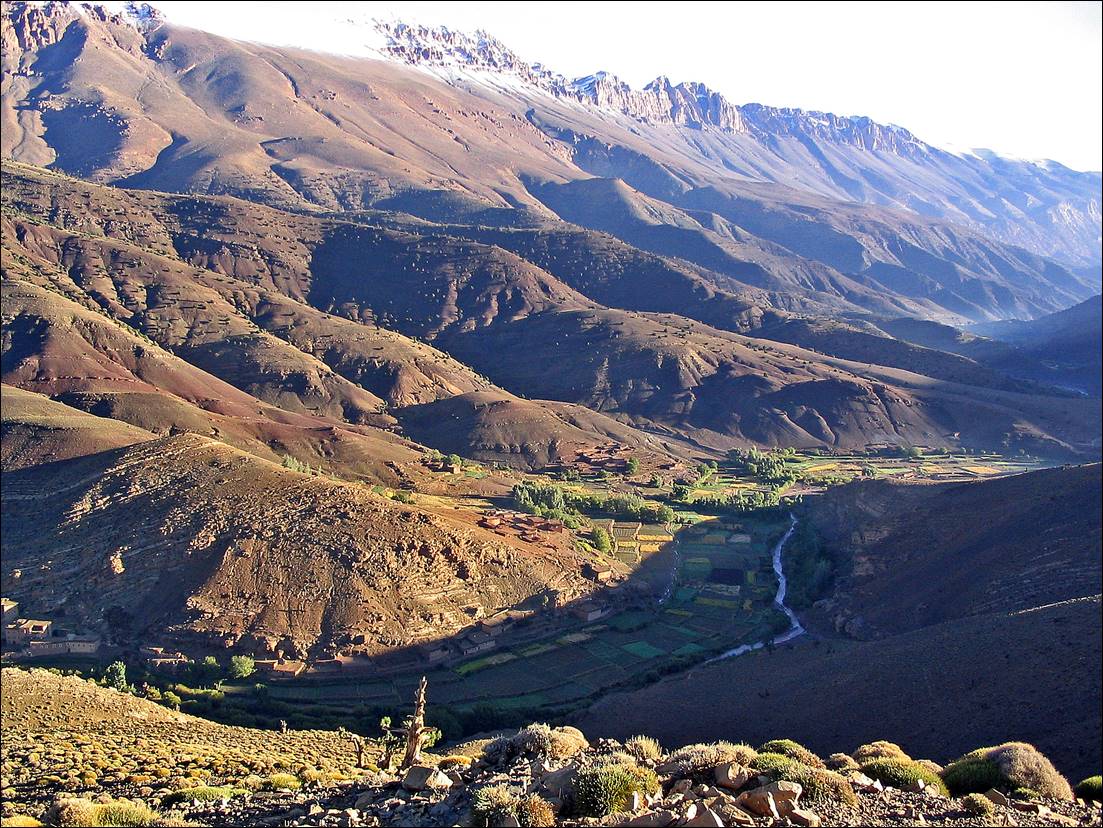
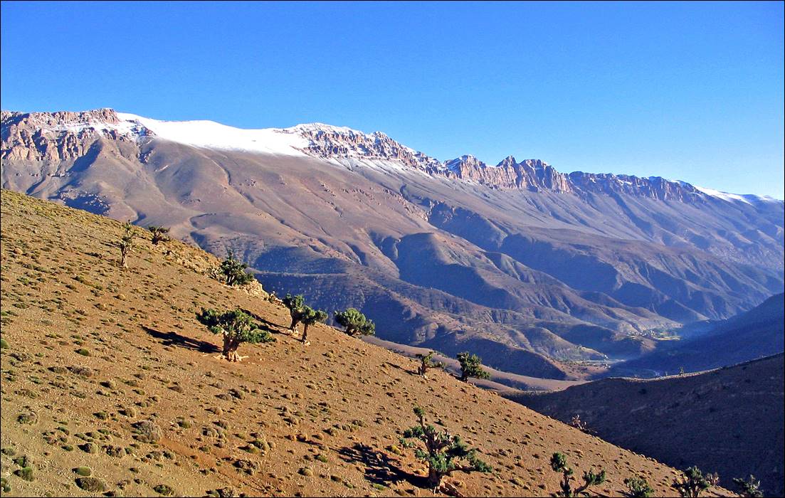
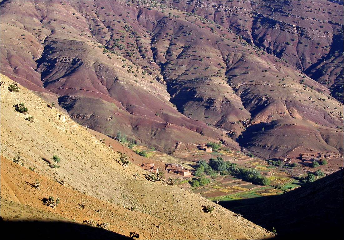
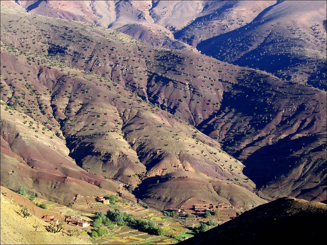
Along
Assif Oulilimt.
|
|
|
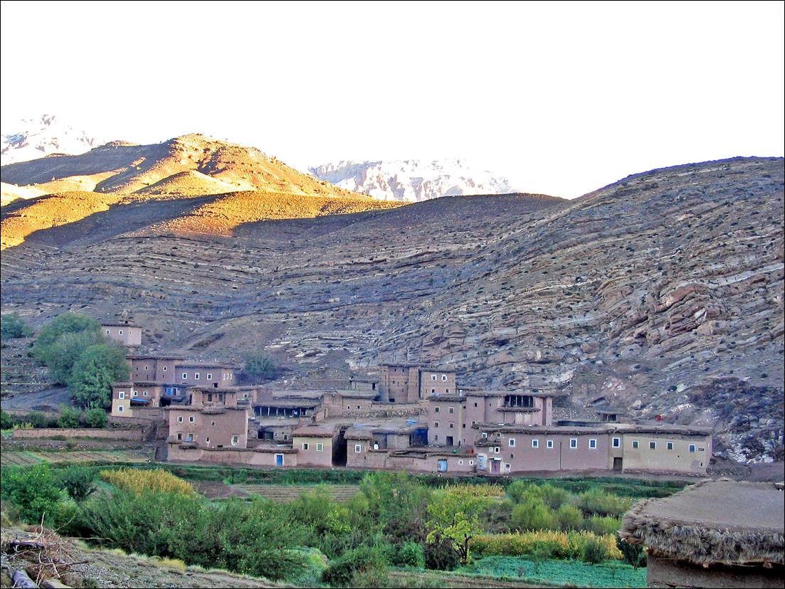
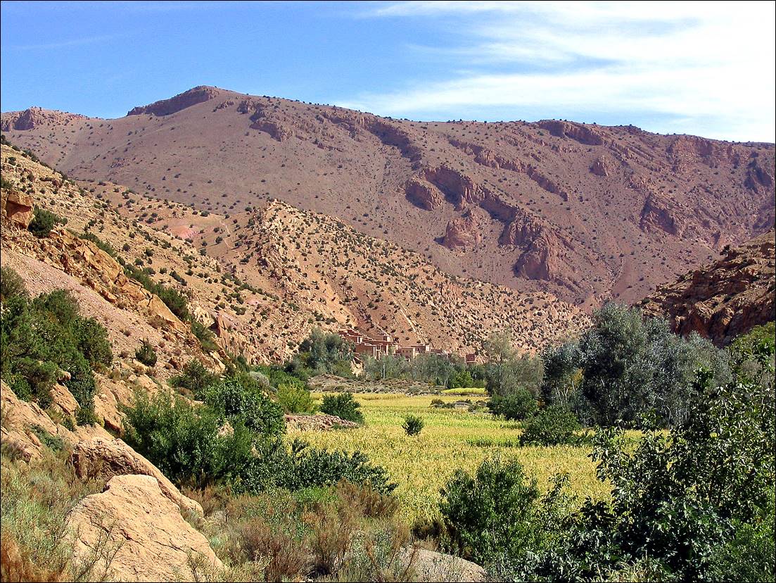
Village
of El Mrabitine in the morning.
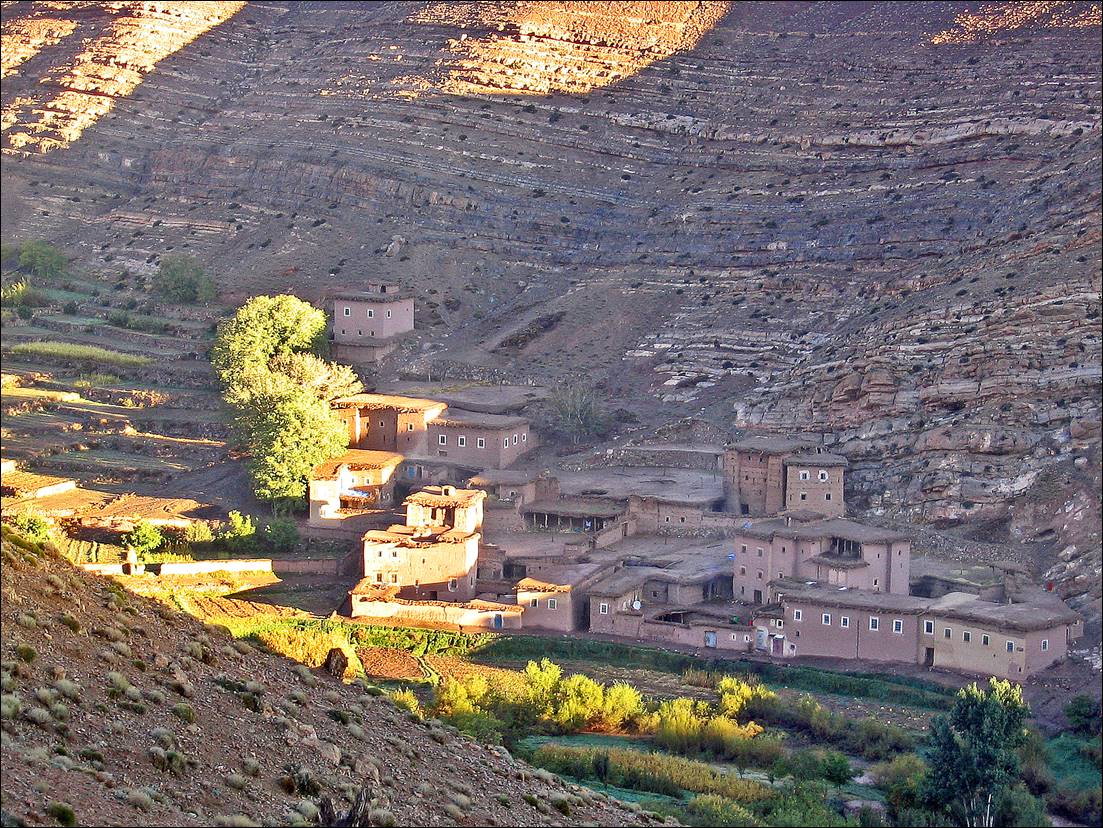
View of Jebel Waougoulzat above the village of El Mrabitine.
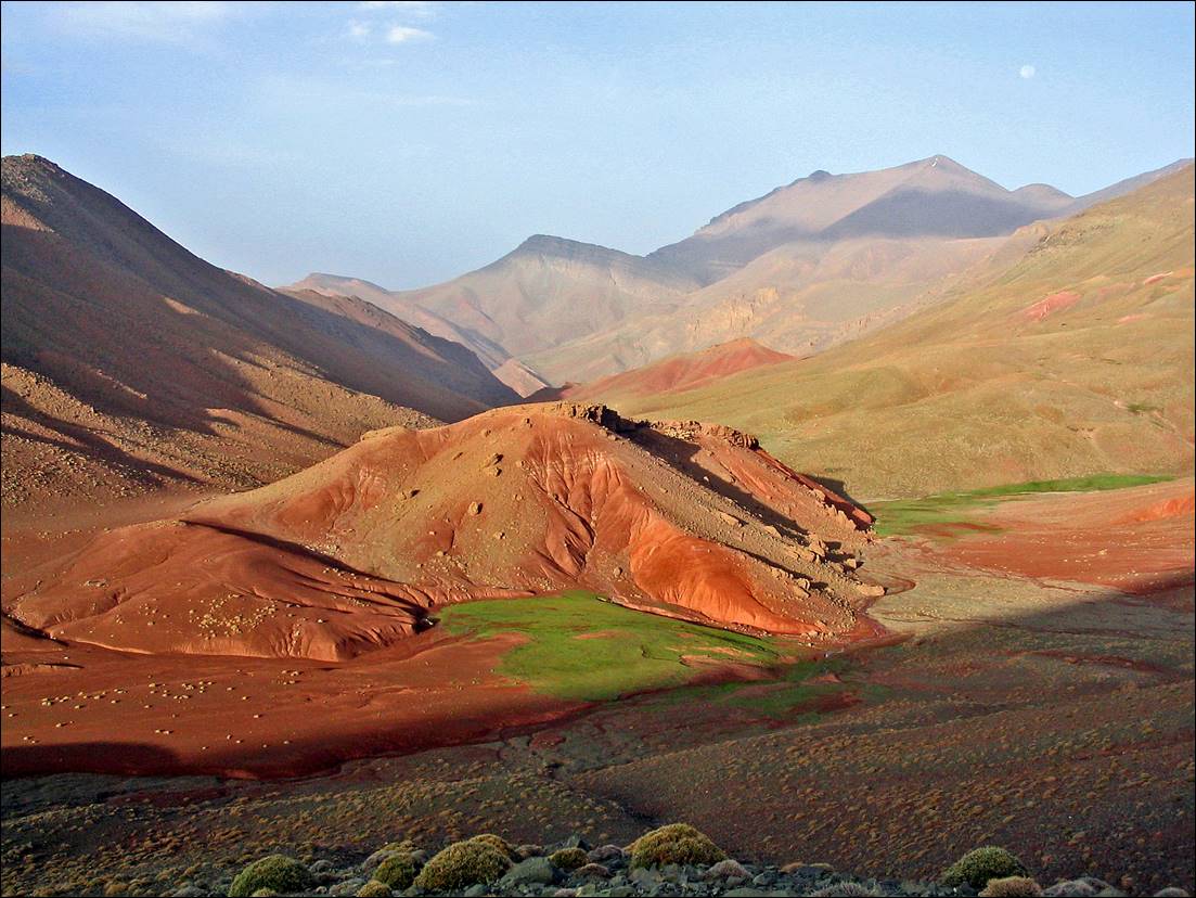
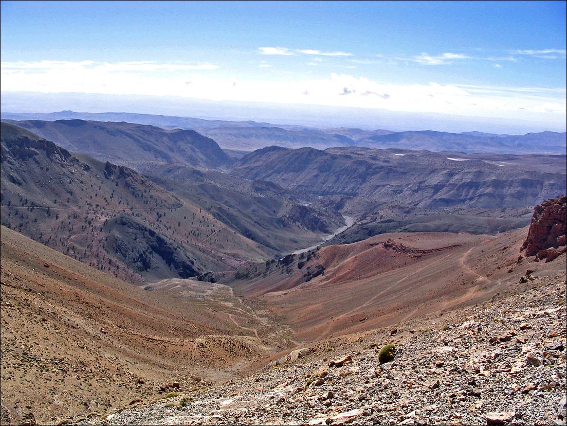
Views
over the beautiful Mgoun valley, with Jebel Waougolzat
in the backbround, while climbing
toward Tizi-n-Ait-Ahmed.
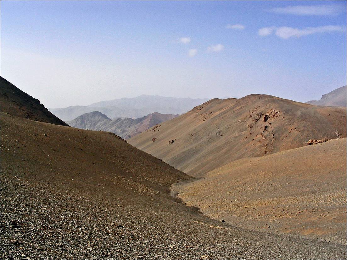
View
toward the south from Tizi-n-Ait-Ahmed (Djebel Sahro
is in the background).
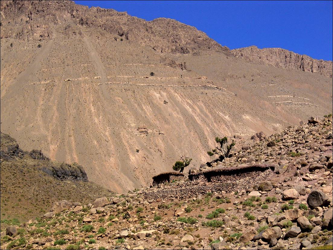
Azibs (shepherd houses) during
the descent from the pass.
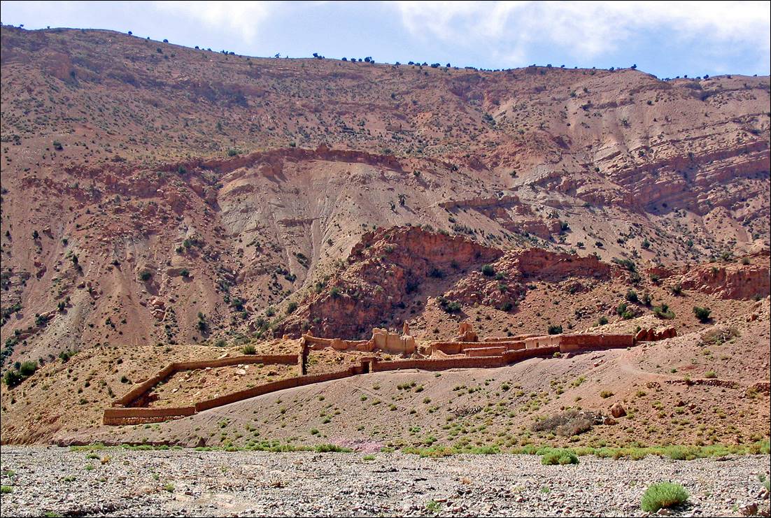
Village of Imeskar et Tahtani.
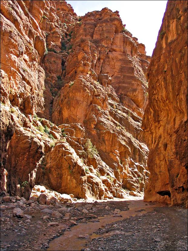
Gorge
of Assif Imeskar before reaching Amajgag.
|
|
|

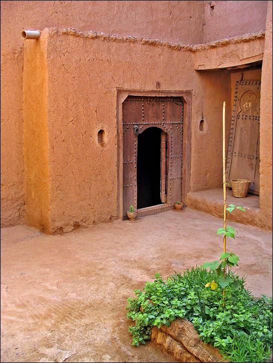
Inside
a Kasbah.
|
|
|