Zigzagging
in the Fann Mountains (August 8-23, 2006):
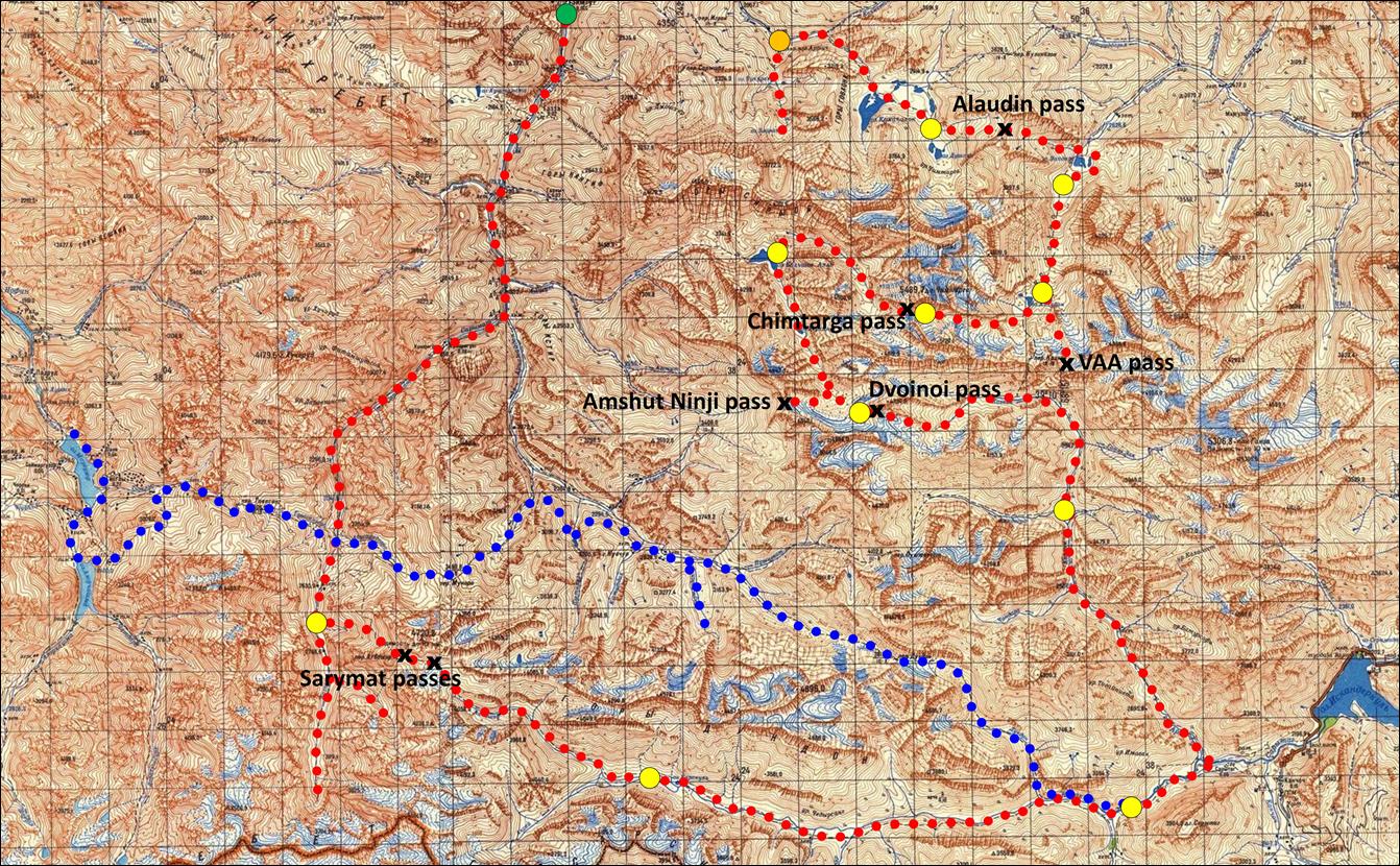
From Artuch to Lake Big Allo
![]()
Return
to main Fann-2006 webpage
Click here for a full-resolution map.
August 8: We left the town of Penjikent in the
morning, after buying fresh food at the bazaar. We drove to the Artuch mountain center, a comfortable hut where we spent
the night. In the afternoon, Slava and I hiked up to lakes Chukurak
and Ziorat above Artuch.
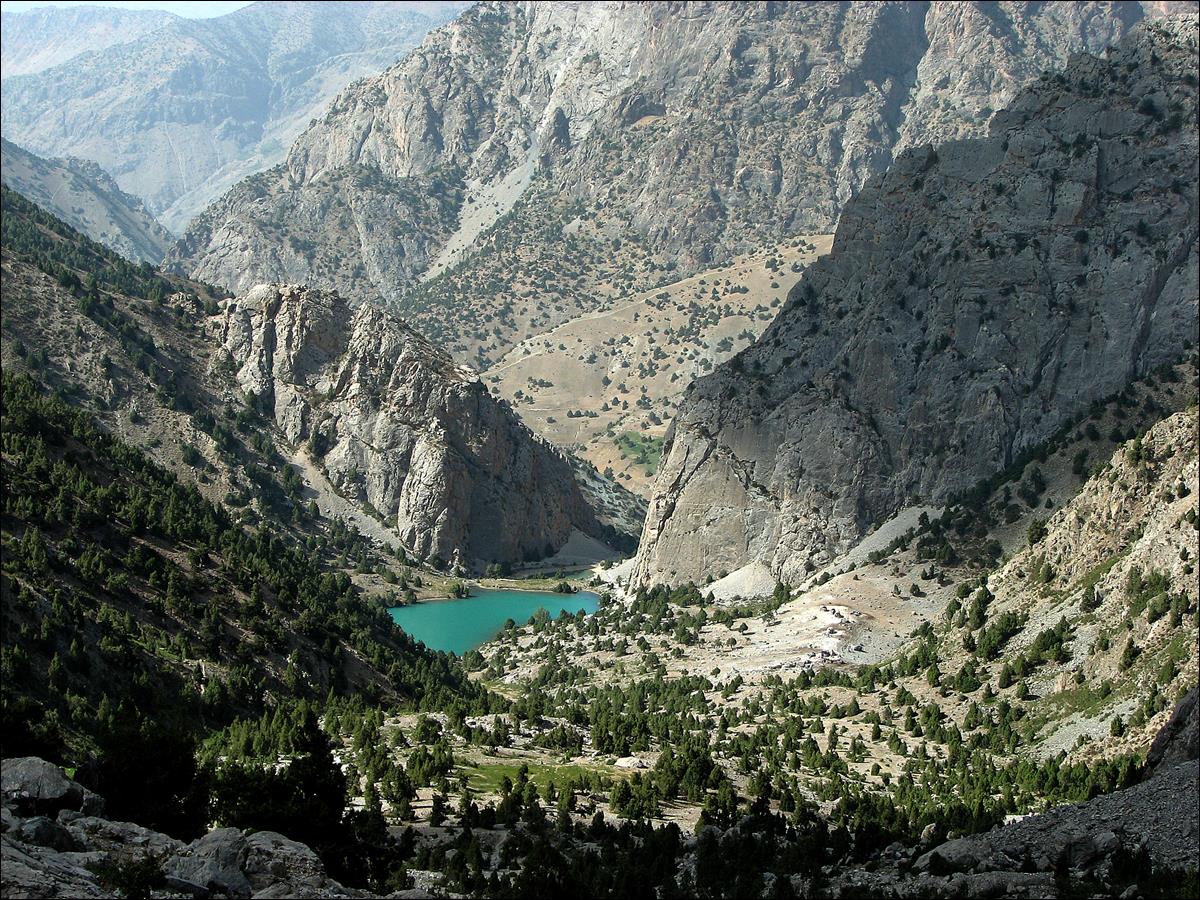
Lake Chukurak
seen while hiking up to lake Ziorat.
Artuch (not visible) is further down.
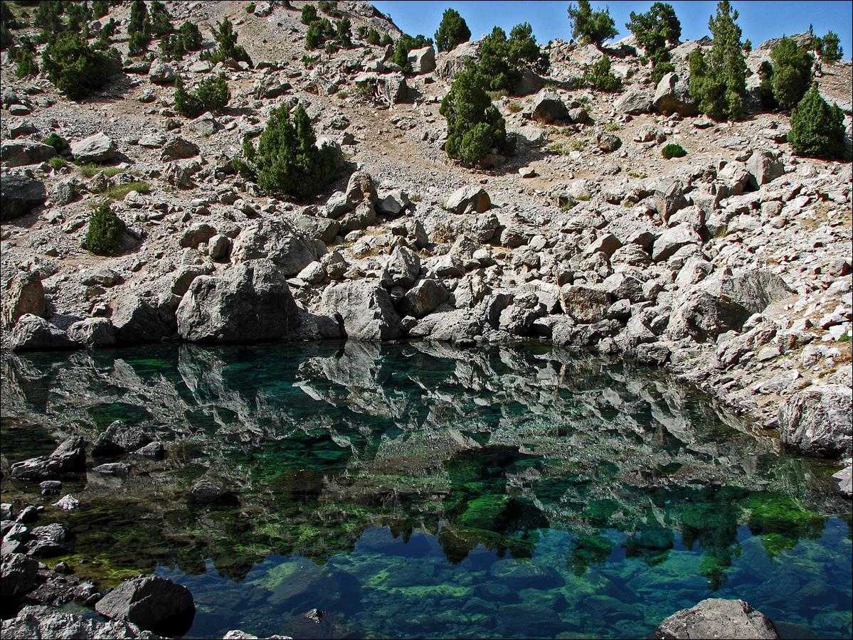
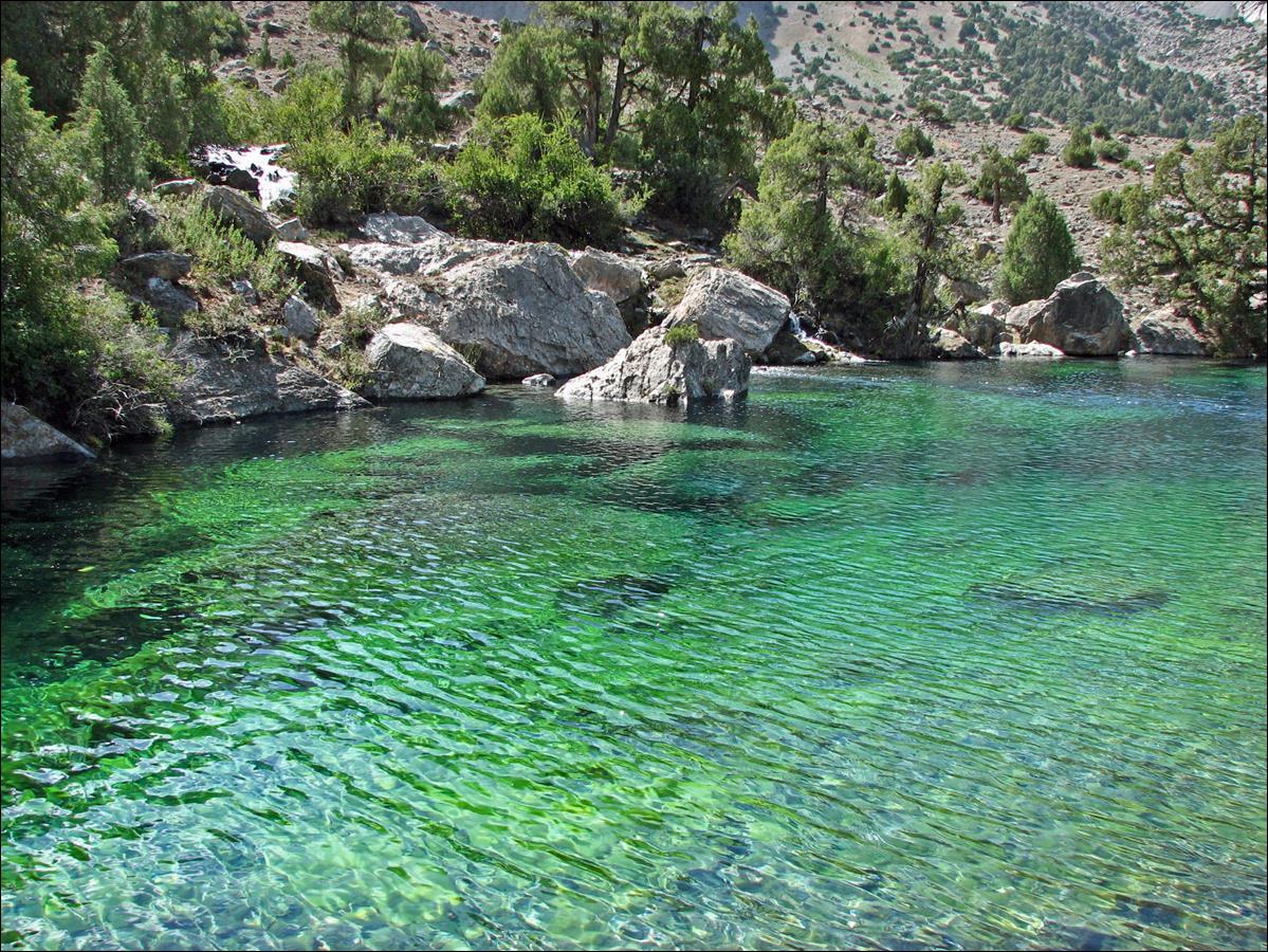
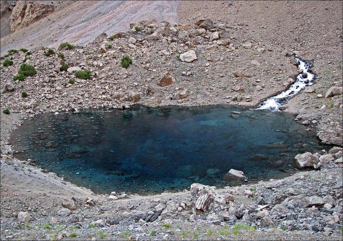
The clear water of lake Ziorat.
August 9: We hiked up over an easy pass to reach lakes Kulikalon, where we set our first camp (2800m). These lakes
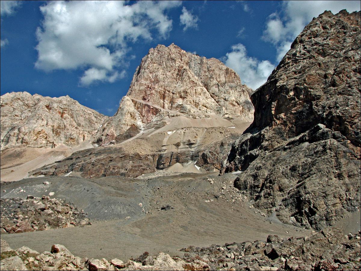
are dominated by two huge rock walls that attract many Russian climbers.
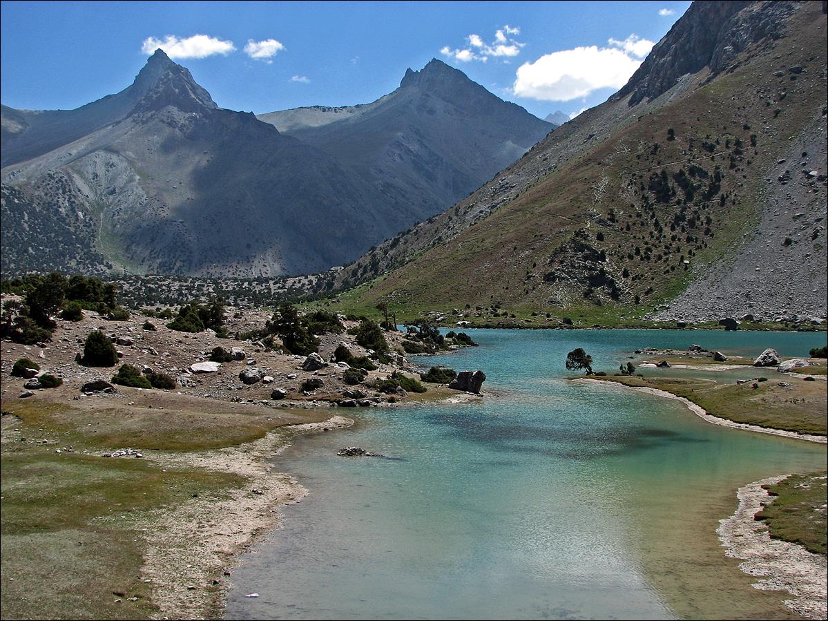
Main Kulikalon
lake, with one rock wall behind. The highest summit on the left is peak Maria
(4970m).
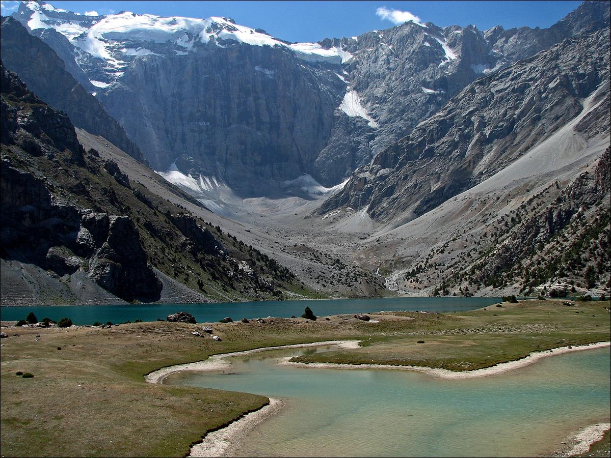
Another view of the main Kulikalon lake, from another location.
Our campsite at another
lake (Dushakha), near the second rock wall.
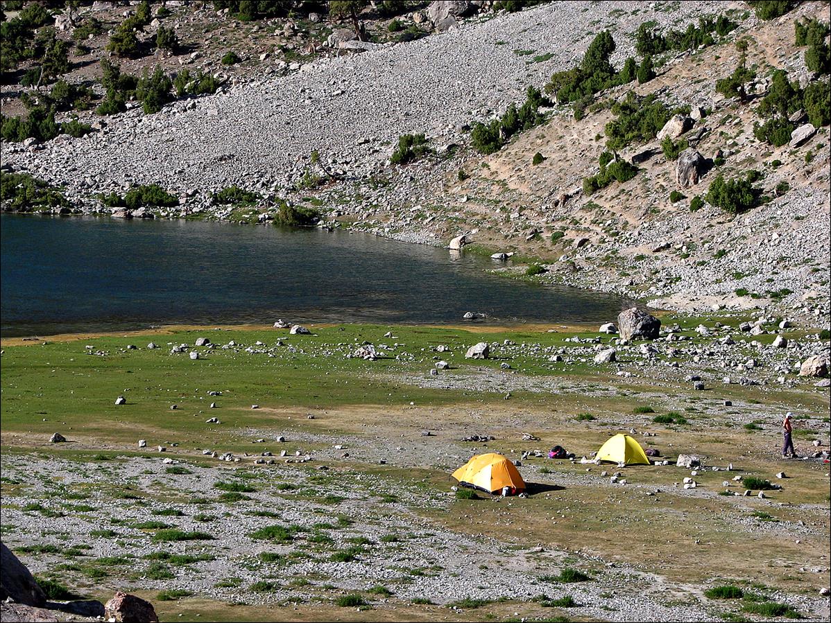
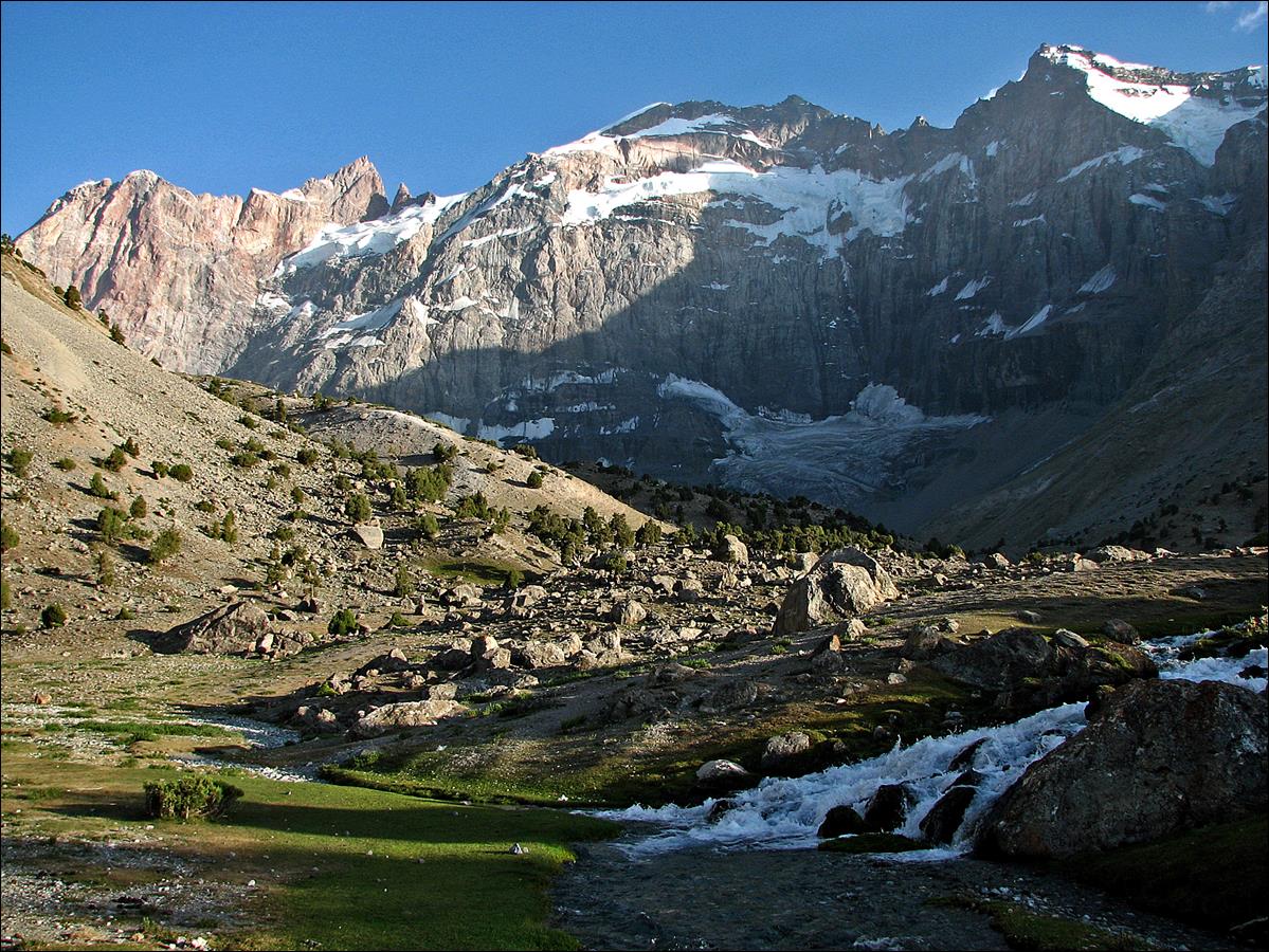
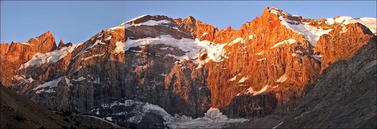
The second rock wall seen
from our campsite at lake Dushakha.
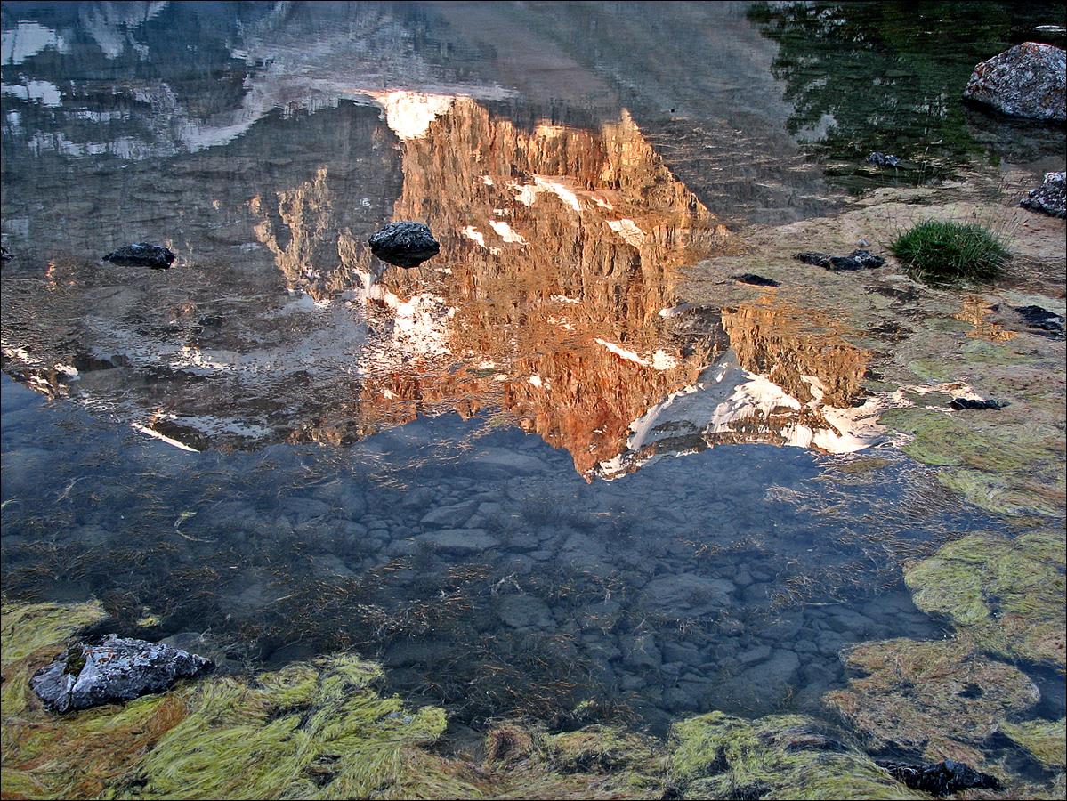
Reflection
of rock wall on lake
Dushakha.
The rock wall at sunset and sunrise (collage of a photo
taken at sunset, the leftmost third, and another photo taken at sunrise, the
other two thirds on the right).
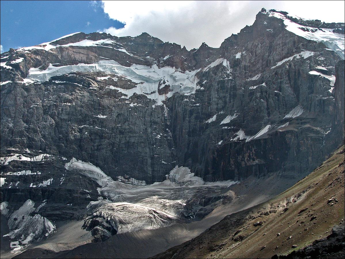
Other
views of the rock wall:
- Central
section.
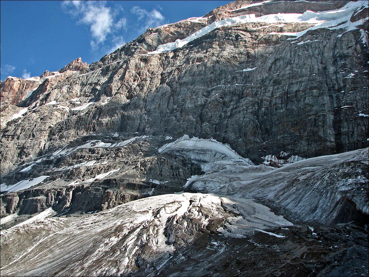
- Eastern
section
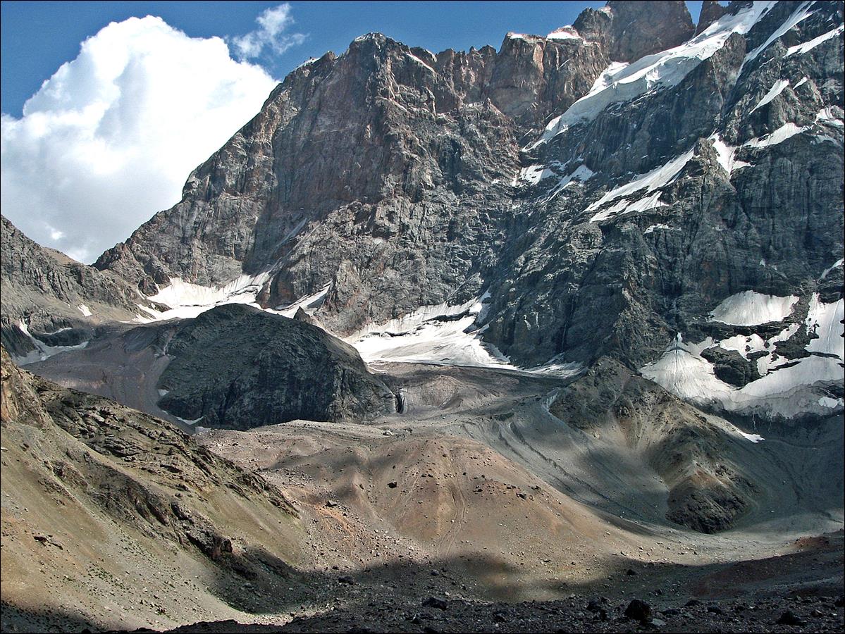
Small glacier
at the base of the rock wall.
August 10: We crossed Alaudin pass (3860m) to reach the
Alaudin lakes. These are arguably the most beautiful lakes in the Fann
mountains.
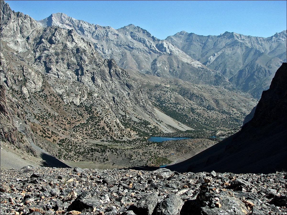
View over the Pasrud valley (toward the north-east) while descending from
Alaudin pass.
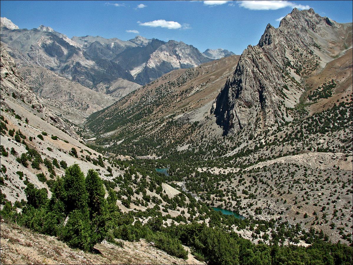
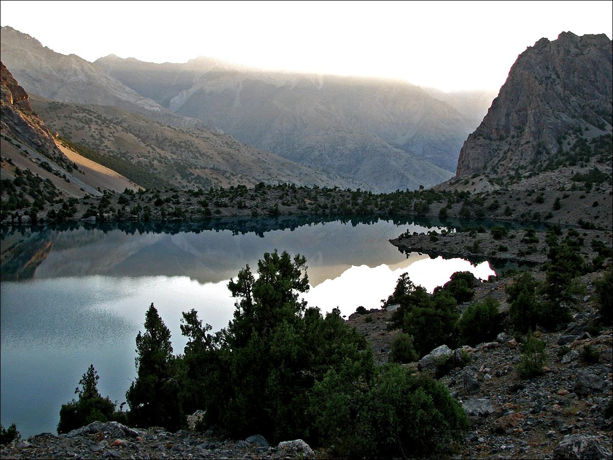
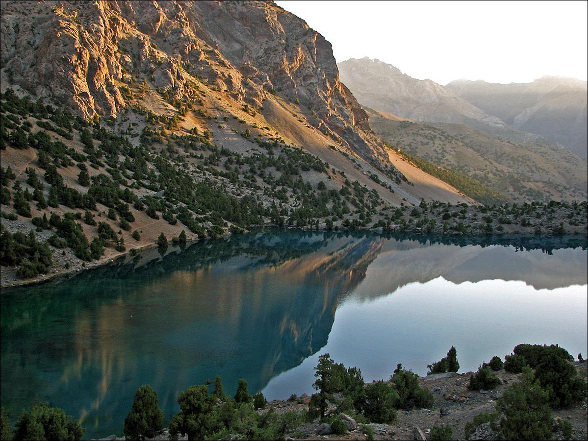
View over the main two
Alaudin lakes.
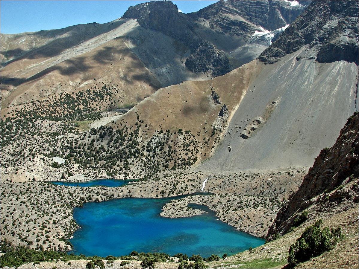
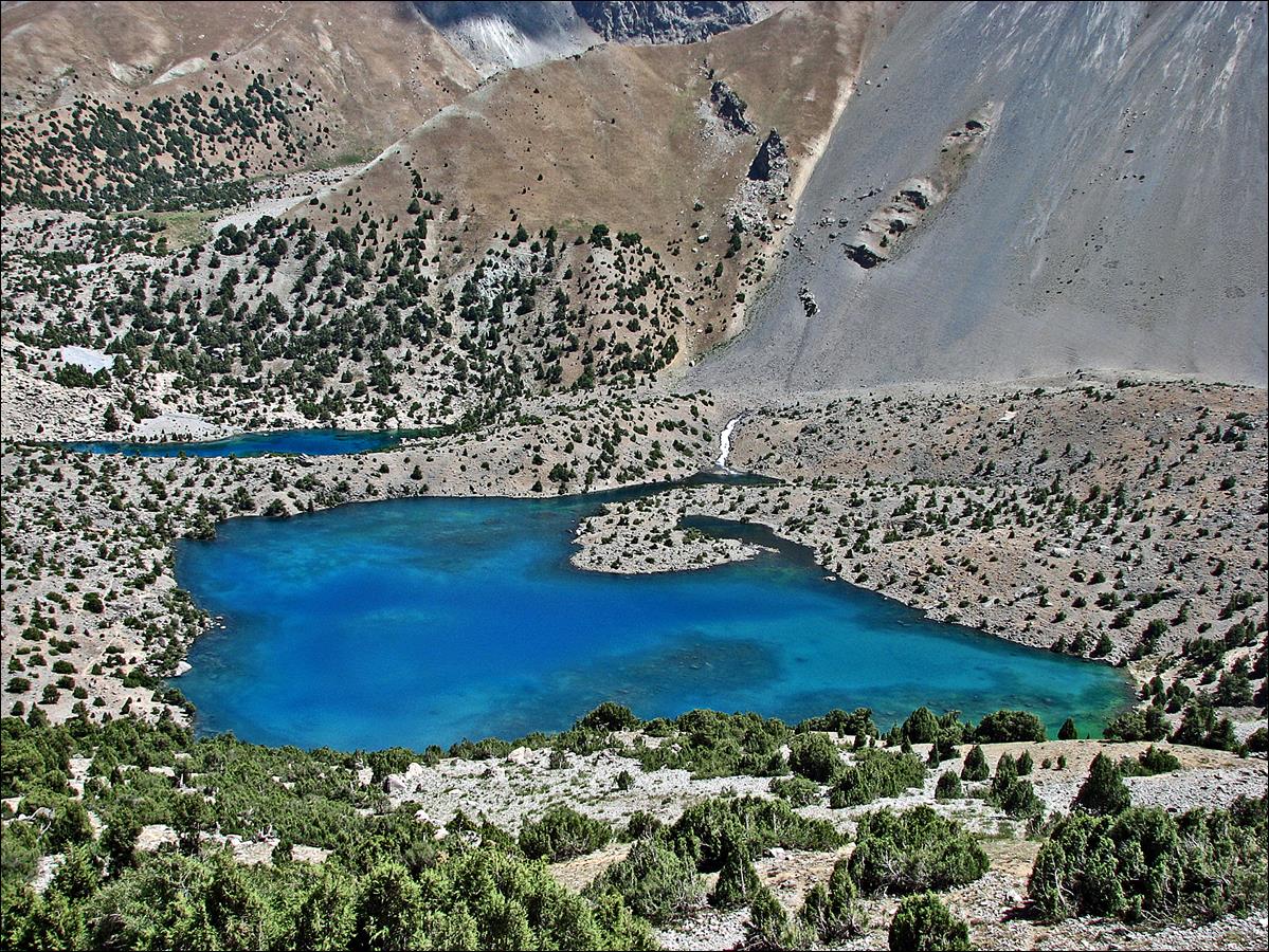
A smaller Alaudin lake.
August 11: In the morning we hiked up to lake Mutnyi (3600m) below Chimtarga
peak, where we established our camp for two nights. In the afternoon, I went to
VAA pass (4100m, south-east of Mutnyi lake), which
dominates the Kaznok river on its southern side. A few days later we will be
hiking along Kaznok river.
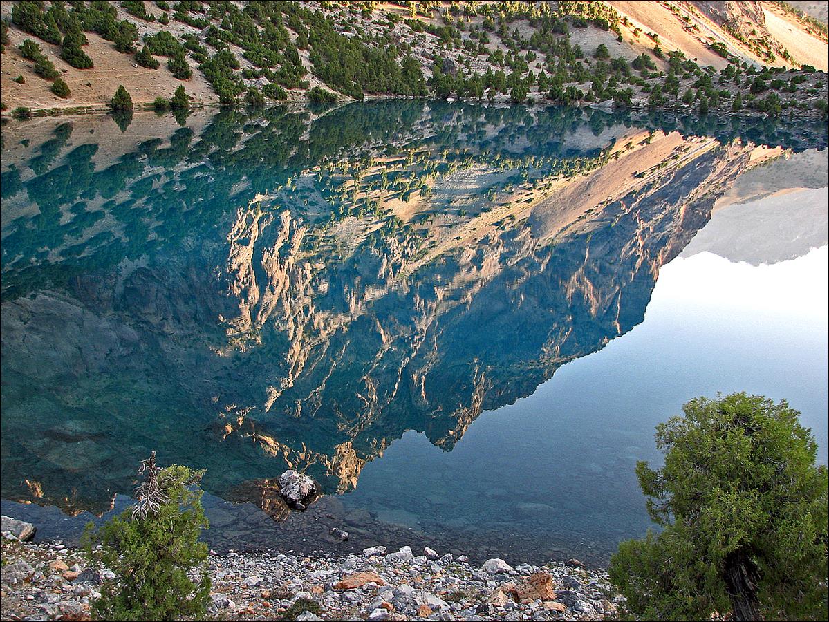
Early morning reflection
over an Alaudin lake.
Cup lake (I cannot
remember its local name, but it means ″cup″).
Looking back at Alaudin
lakes and Pasrud valley before reaching lake Mutnyi. The descent from Alaudin pass (on the left) is
hidden.
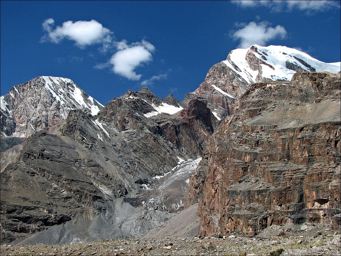
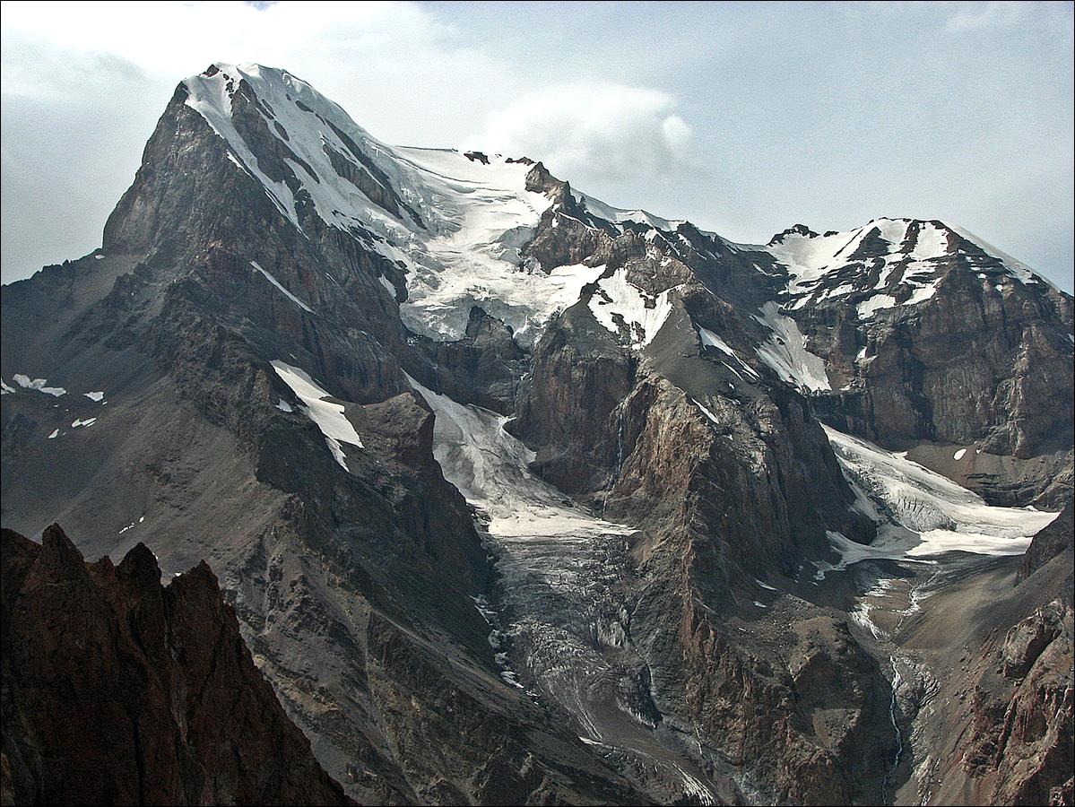
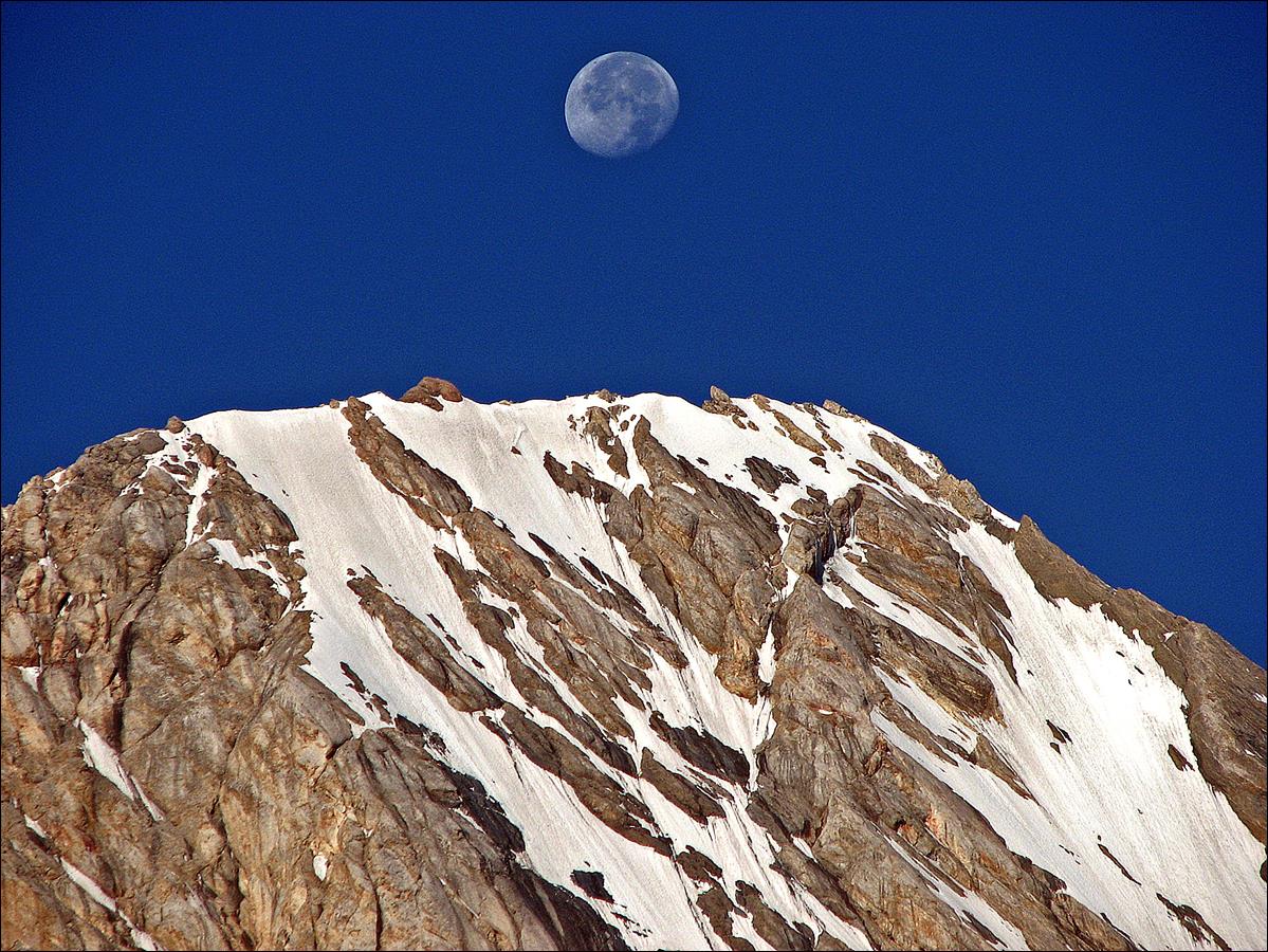
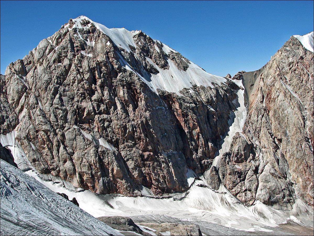
Energia peak (5120m) on the left
and Chimtarga peak on the right (5489m) peaks seen
before reaching lake Mutnyi. Chimtarga
peak is the highest point in the Fann mountains.
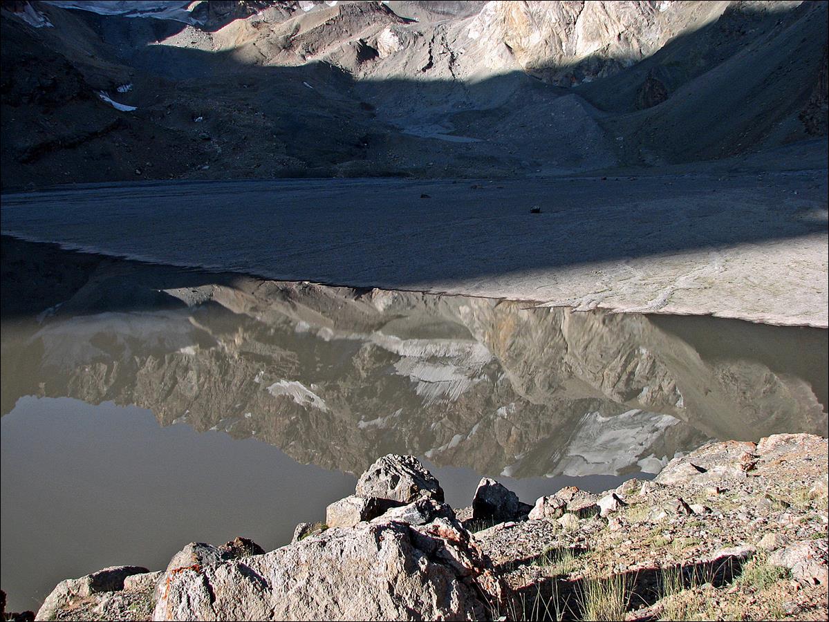
Reflection on lake Mutnyi.
Lake Mutnyi
seen from above at the beginning of the ascent of VAA pass.
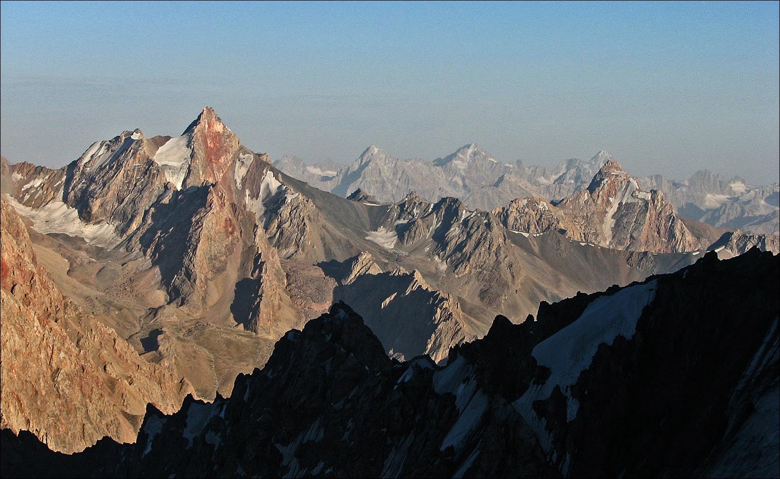
More views of Energia and Chimtarga peaks, with
Chimtarga pass between them, on the way to VAA pass.
Other views (toward the
north) during the ascent VAA pass, with lake Mutnyi
visible at the bottom.
VAA pass viewed from the ridge
above it. It is quite steep on both sides.
View of Chimtarga peak from VAA pass.
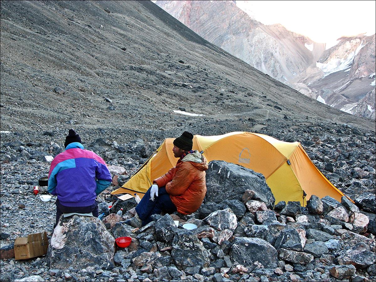
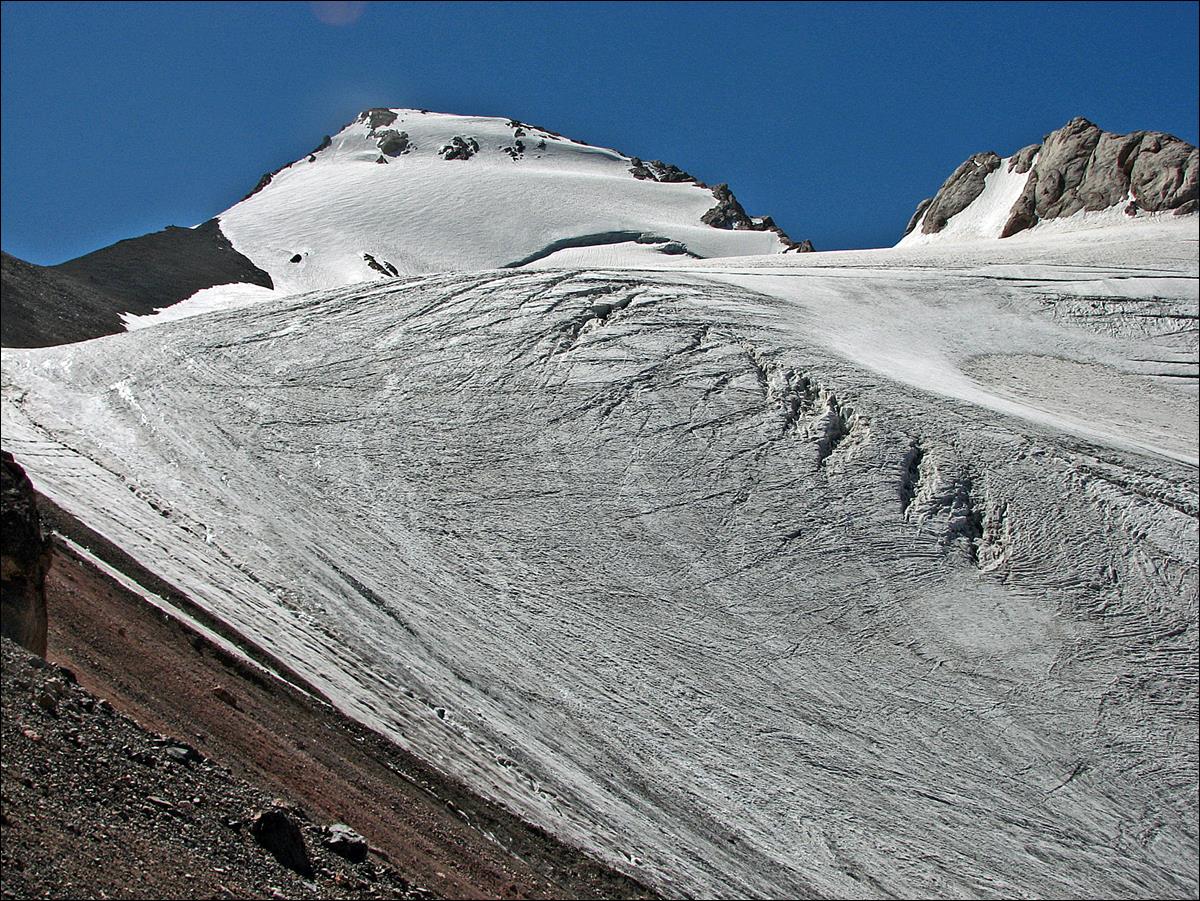
August 12-13: On August 12 we did a carry to our camp at 4500m
below Chimtarga pass and on August 13 we moved to
that camp.
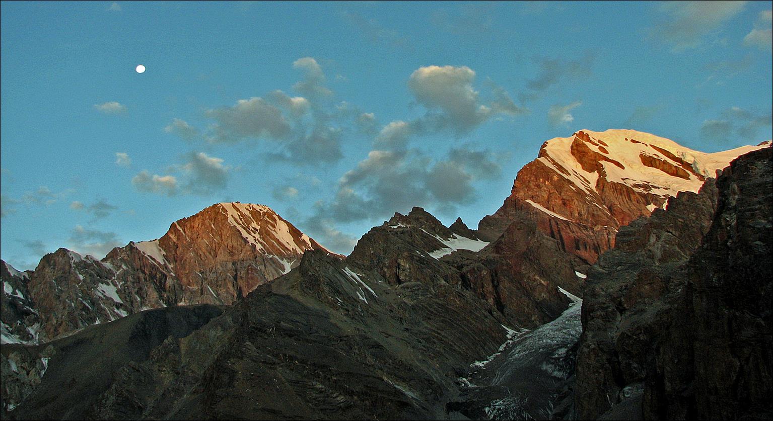
Energia and Chimtarga
peaks at sunrise seen from our camp at lake Mutnyi.
Another view of peak Energia at the beginning of the ascent.
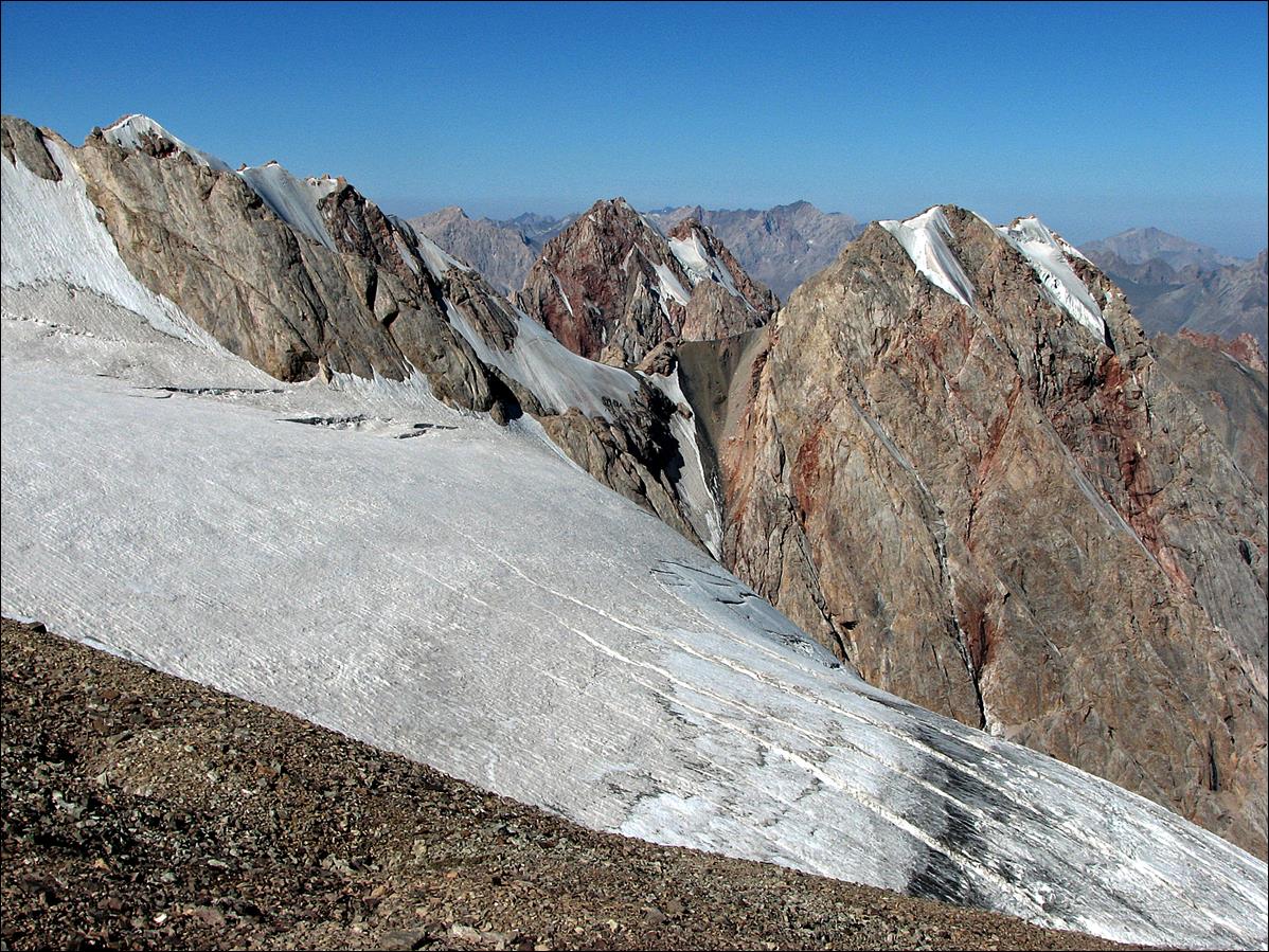
View during the ascent.
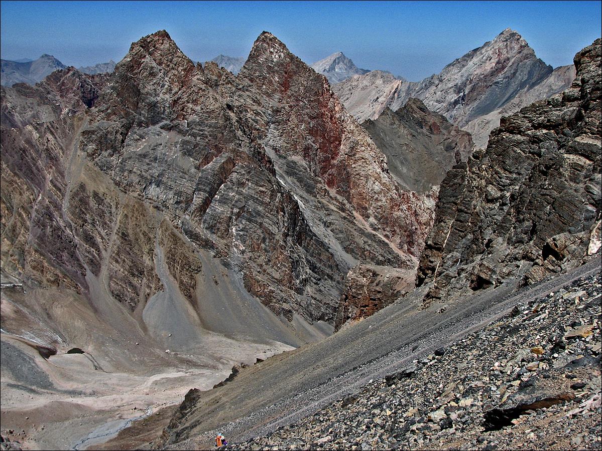
Looking east from further
up. The big peak on the left is Big Ganza (5308m).
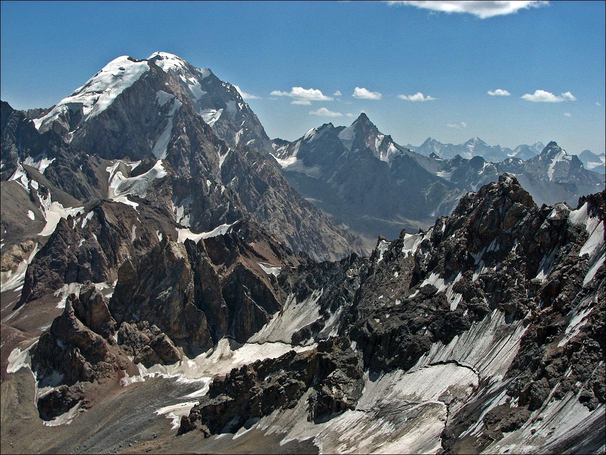
Another view toward the
east in the late afternoon sun.
Slava (left) and Mishra
(right) at our camp below Chimtarga pass.
Chimtarga pass (4740m) viewed from
our camp.
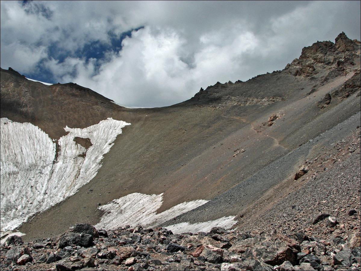
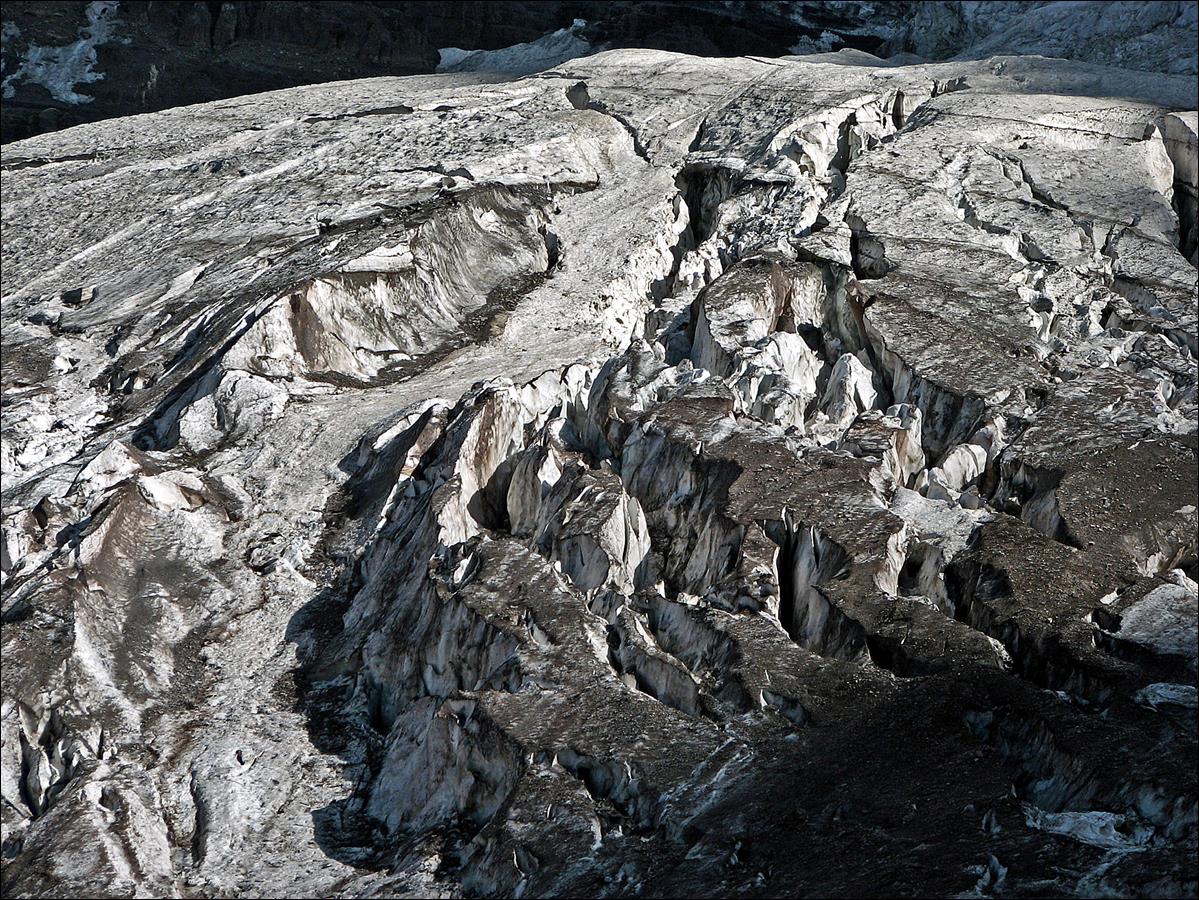
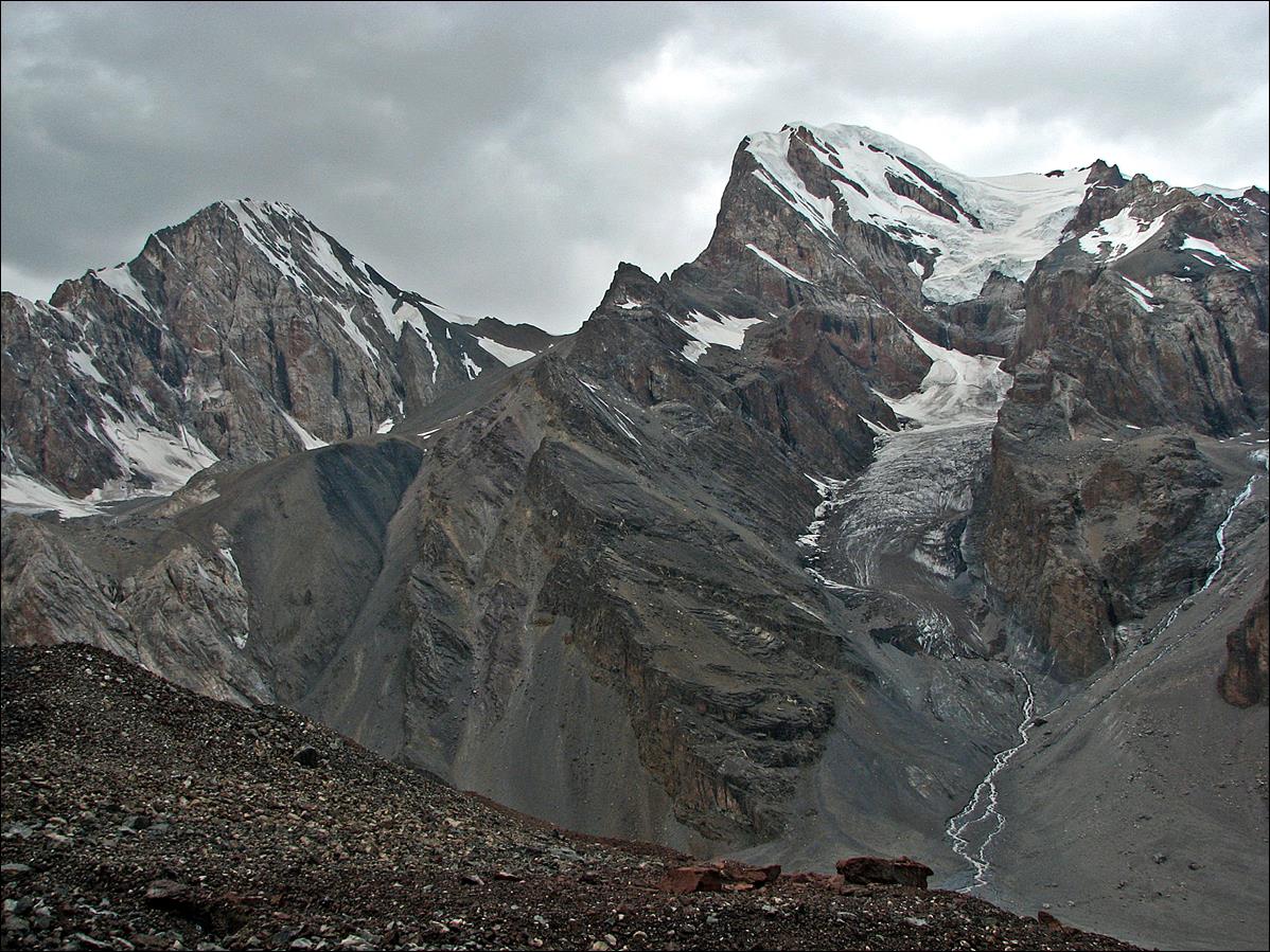
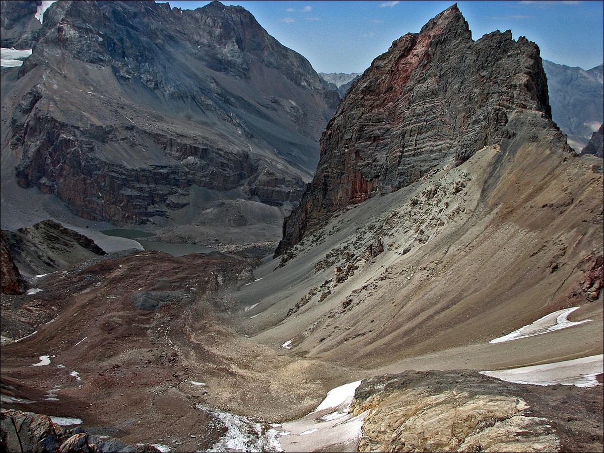
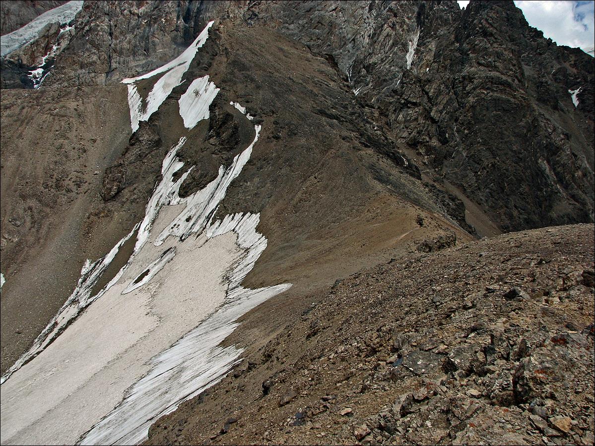
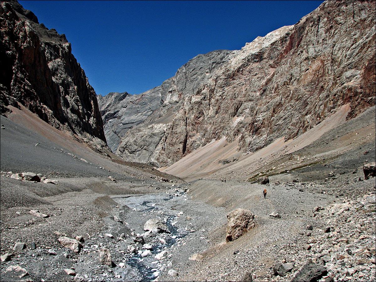
August 14: We crossed Chimtarga
pass (4740m) and made a long descent into the large canyon of the Zindon river. This canyon leads to lake Bolshoi (Big) Allo (3180m) where we established our camp for two nights.
At Chimtarga
pass.
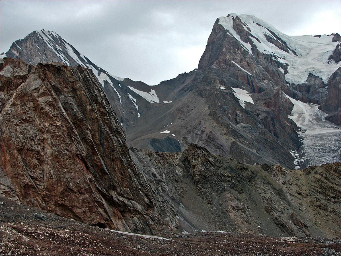
Beginning of the descent.
Looking back at Chimtarga pass.
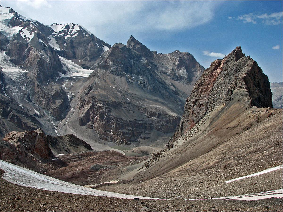
Reaching the mineral Zindon canyon, with Slava is visible at the bottom of the
photo.
Further down into the Zindon canyon.
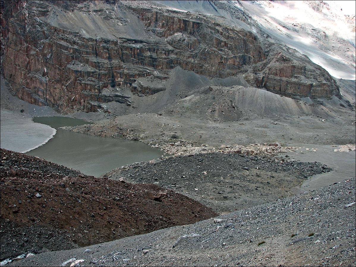
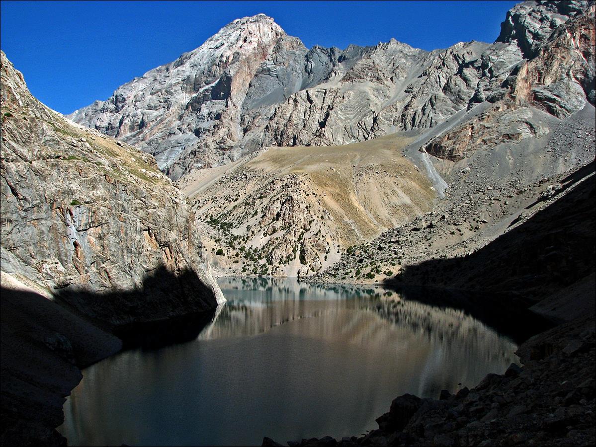
Reaching Big Allo lake. We will continue our trek toward the South along
the canyon visible on this photo.
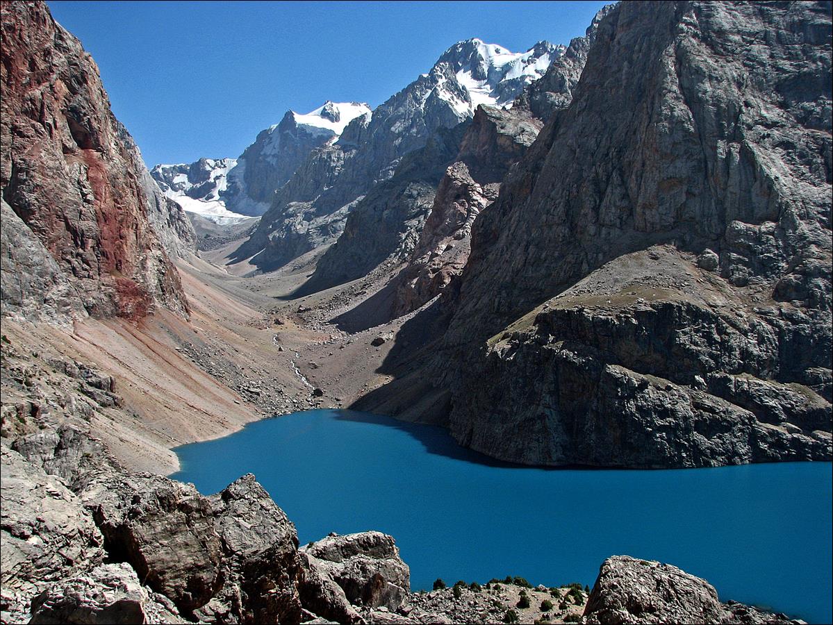
Big Allo
lake viewed later in the afternoon from its southern
end.
Link to the photos of the second part of the trek: From
Lake Big Allo to Gazza Village.
![]()