Zigzagging
in the Fann Mountains (August 8-23, 2006):
From Lake
Big Allo to Gazza Village
![]()
Return
to main Fann-2006 webpage
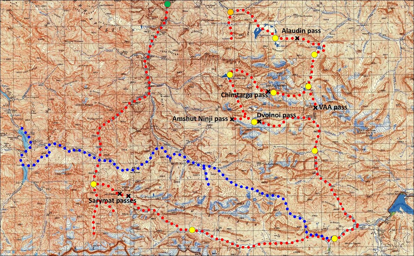
Click here for a full-resolution map.
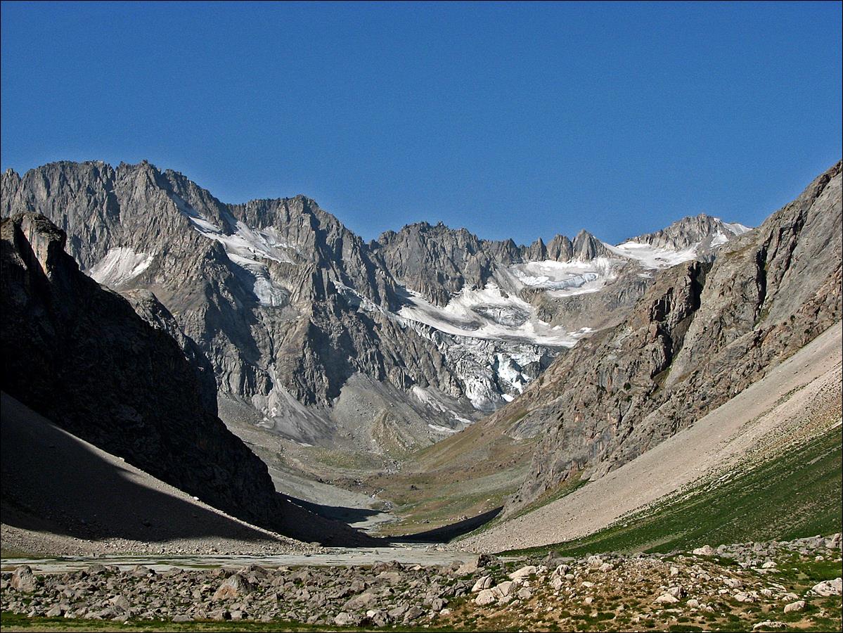
August 15-16: On August 15, while Slava and Mishra were resting,
I did a reconnaissance trip to Amshut Ninji pass south of lake Big Allo.
This pass faces Dvoinoi pass that we will cross two
days later. On August 16 we partially retraced the same path to set a camp just
below Dvoinoi pass.
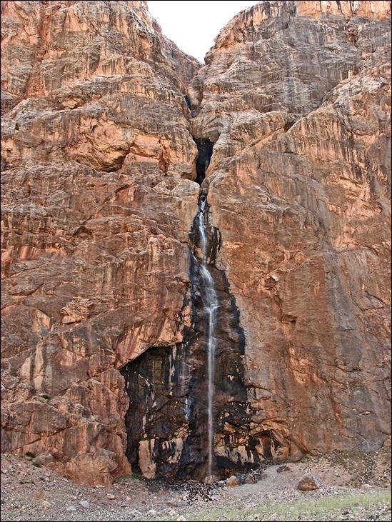
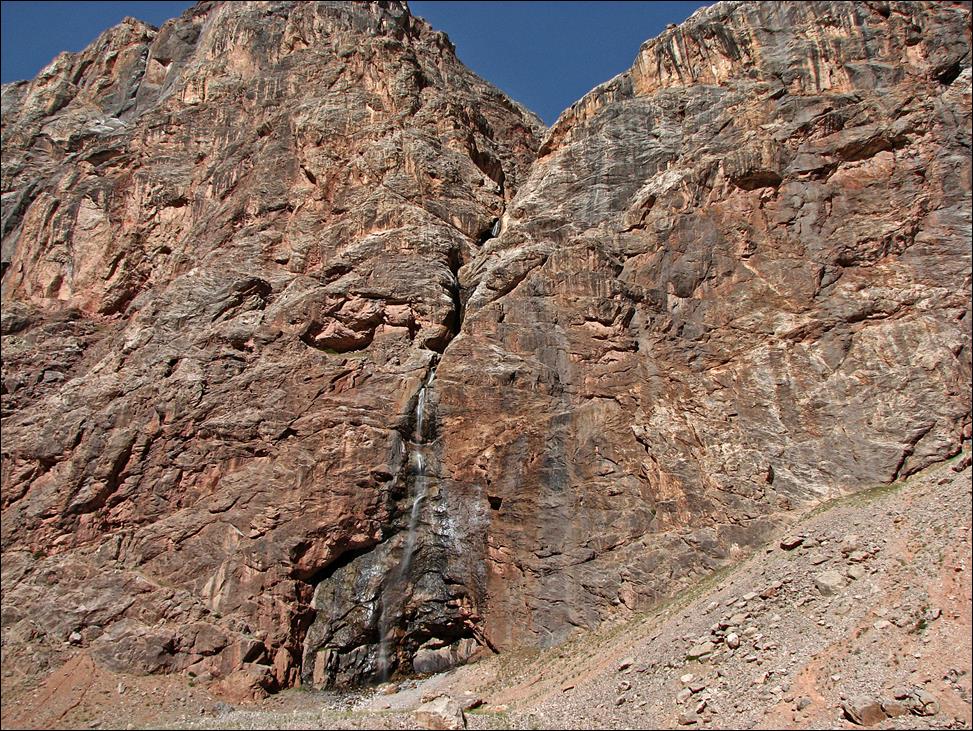
Waterfall along the way,
in the morning shade (left) and in the afternoon sun (right).
|
|
|
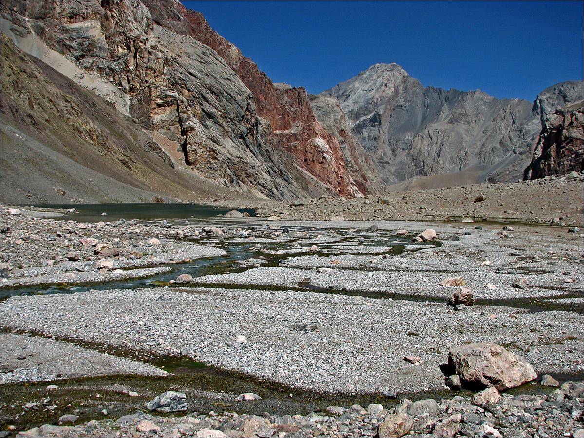
Lake Upper Allo, 3km south of lake Big Allo.
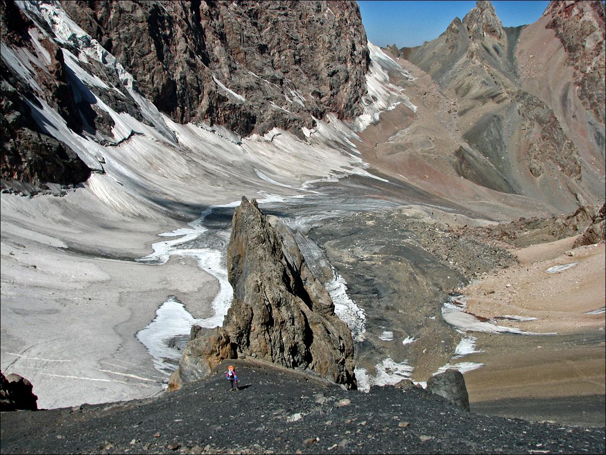
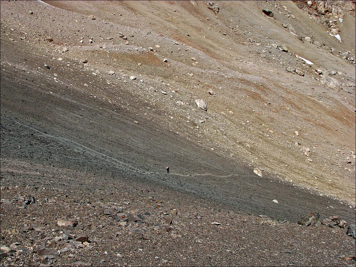
Gulley leading to Amshut Ninji pass.
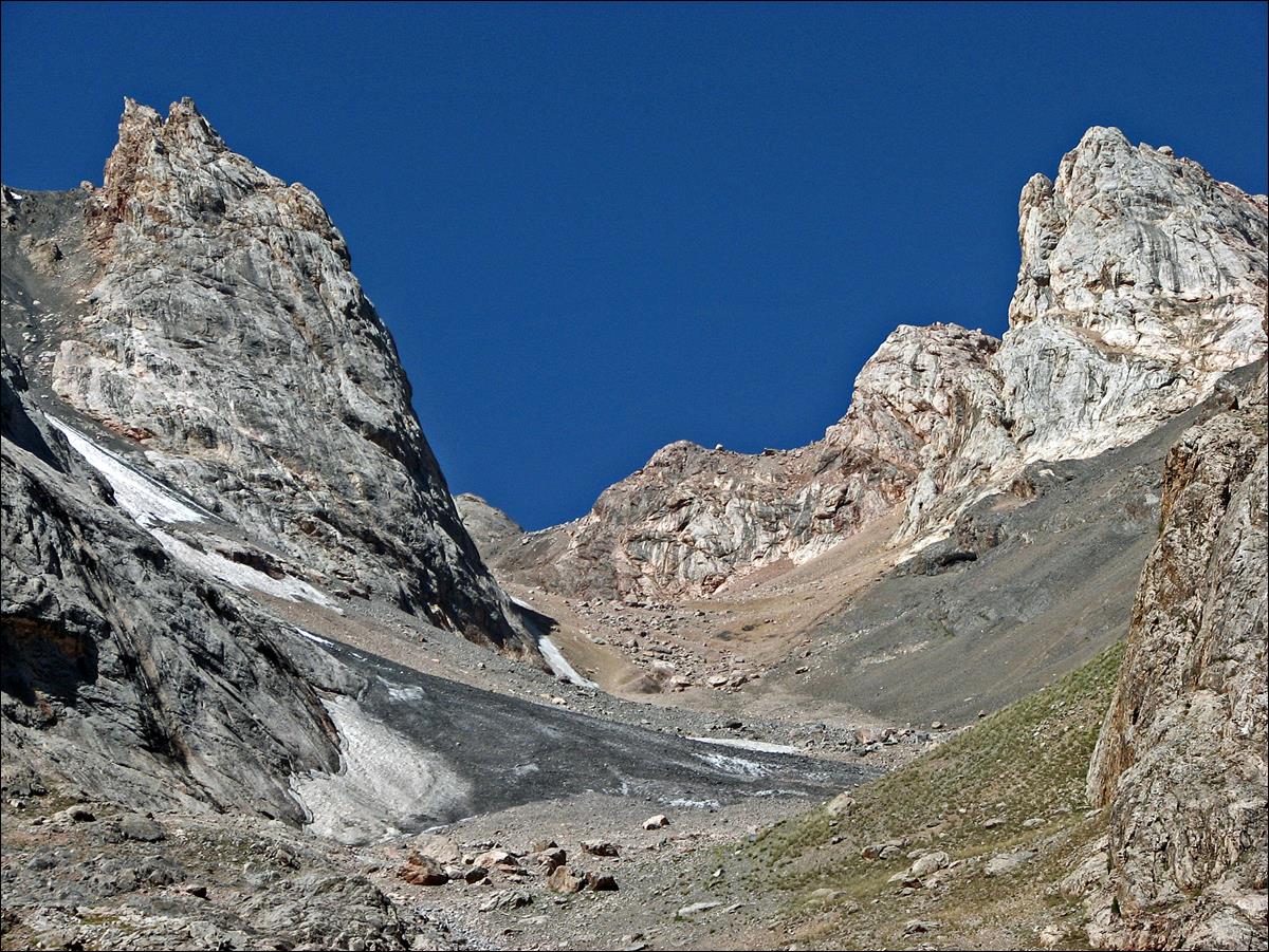
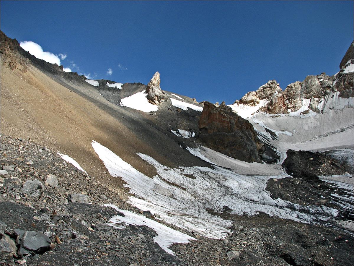
View of Amshut Ninji pass.
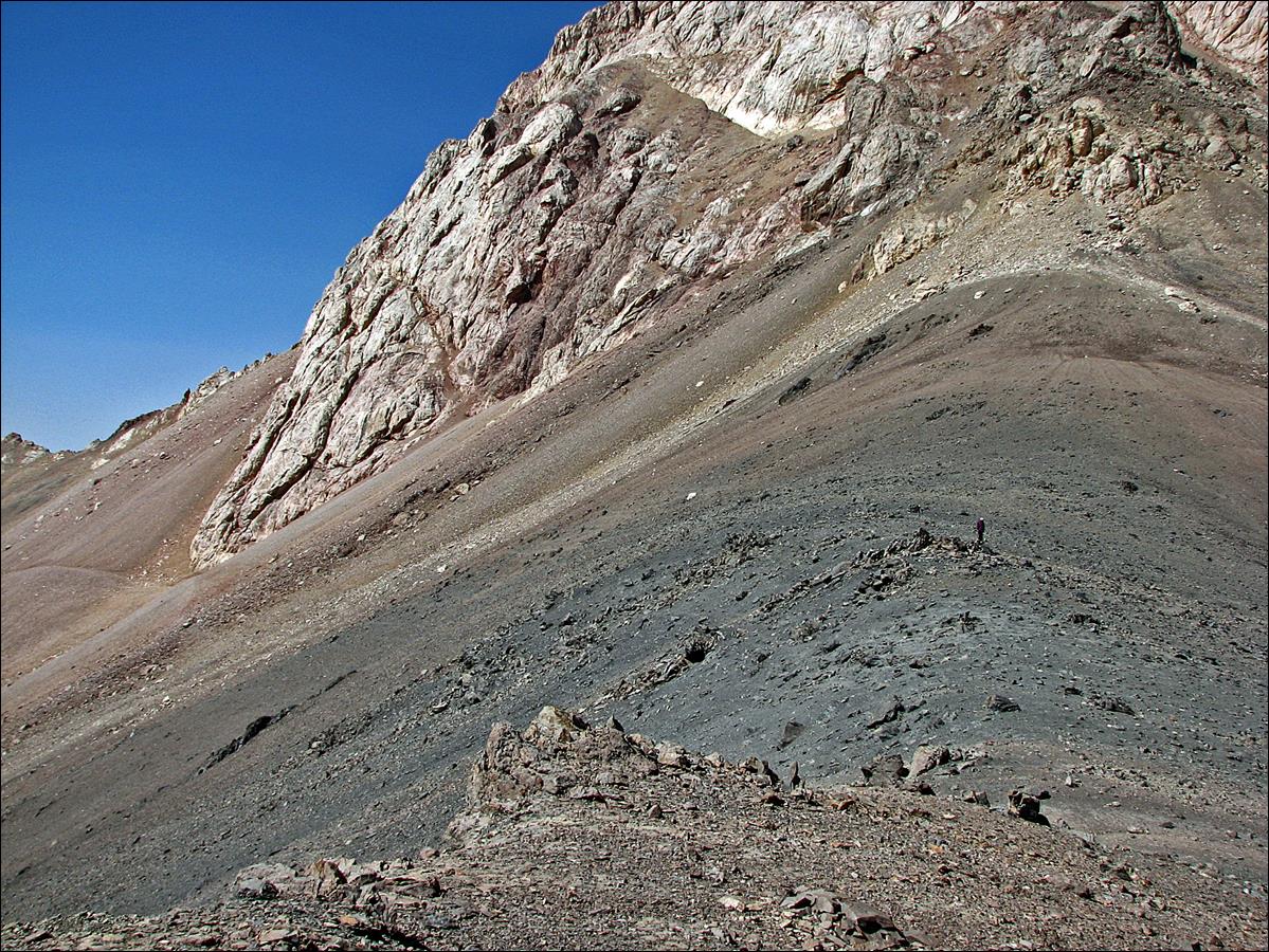
At Amshut
Ninji pass (4380m) looking toward the west.
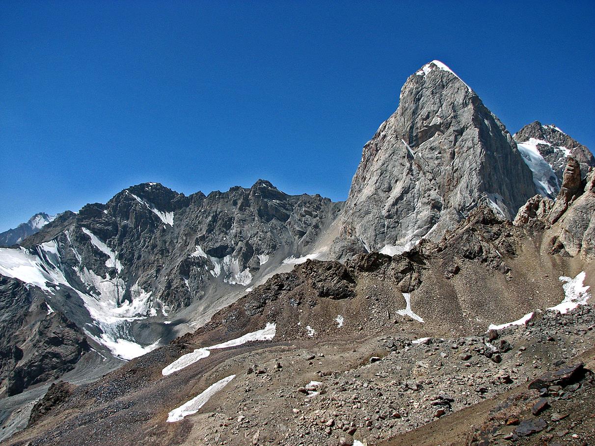
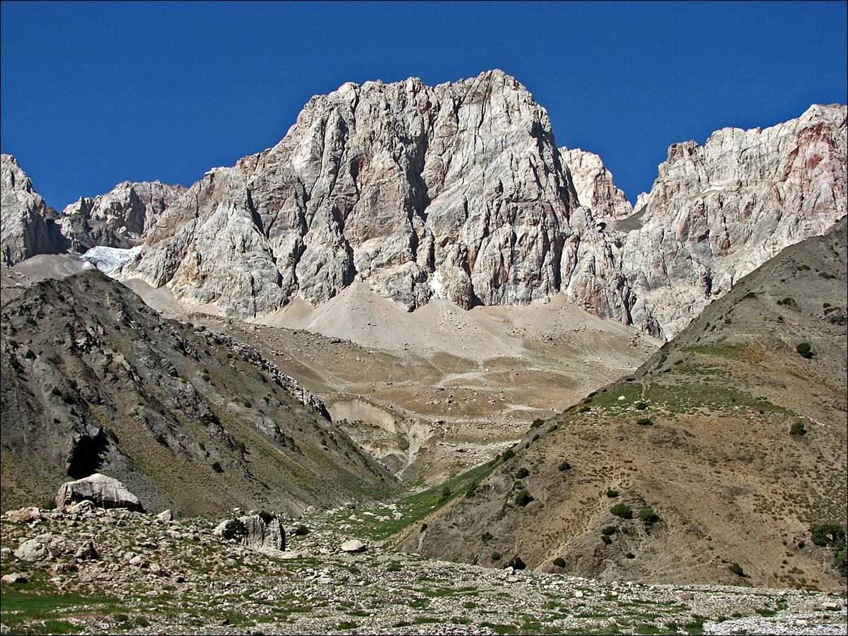
Dvoinoi (which means ″double″)
pass (4260m) seen from Amshut Ninji
pass. We will not cross this pass at its lowest point, but on the left (north)
side of this point, near the small vertical rock band.
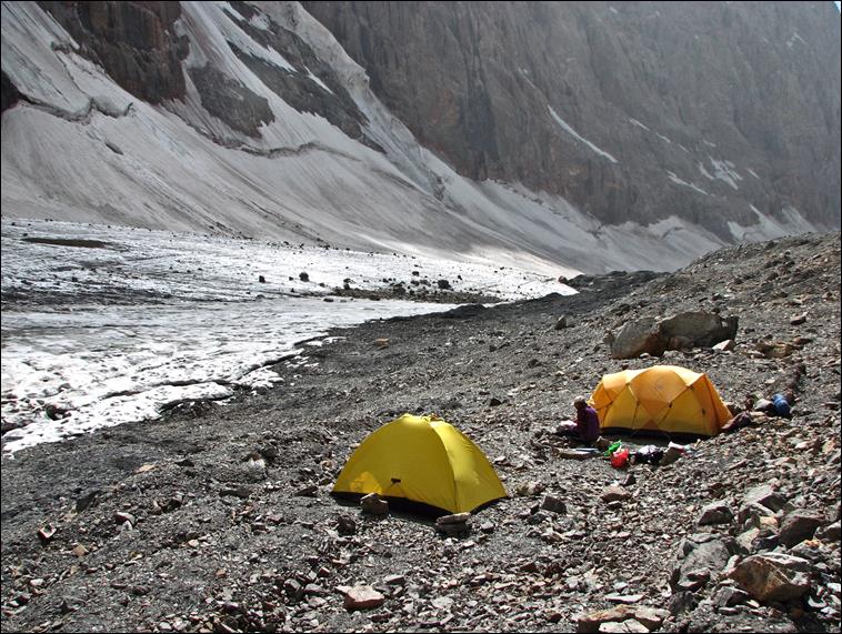
On the next day (August
16) we established a camp below Dvoinoi pass.
|
|
|
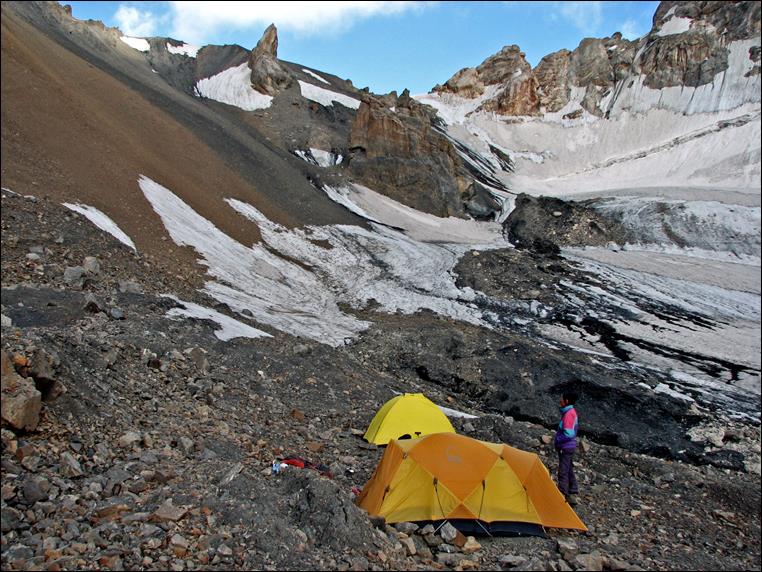
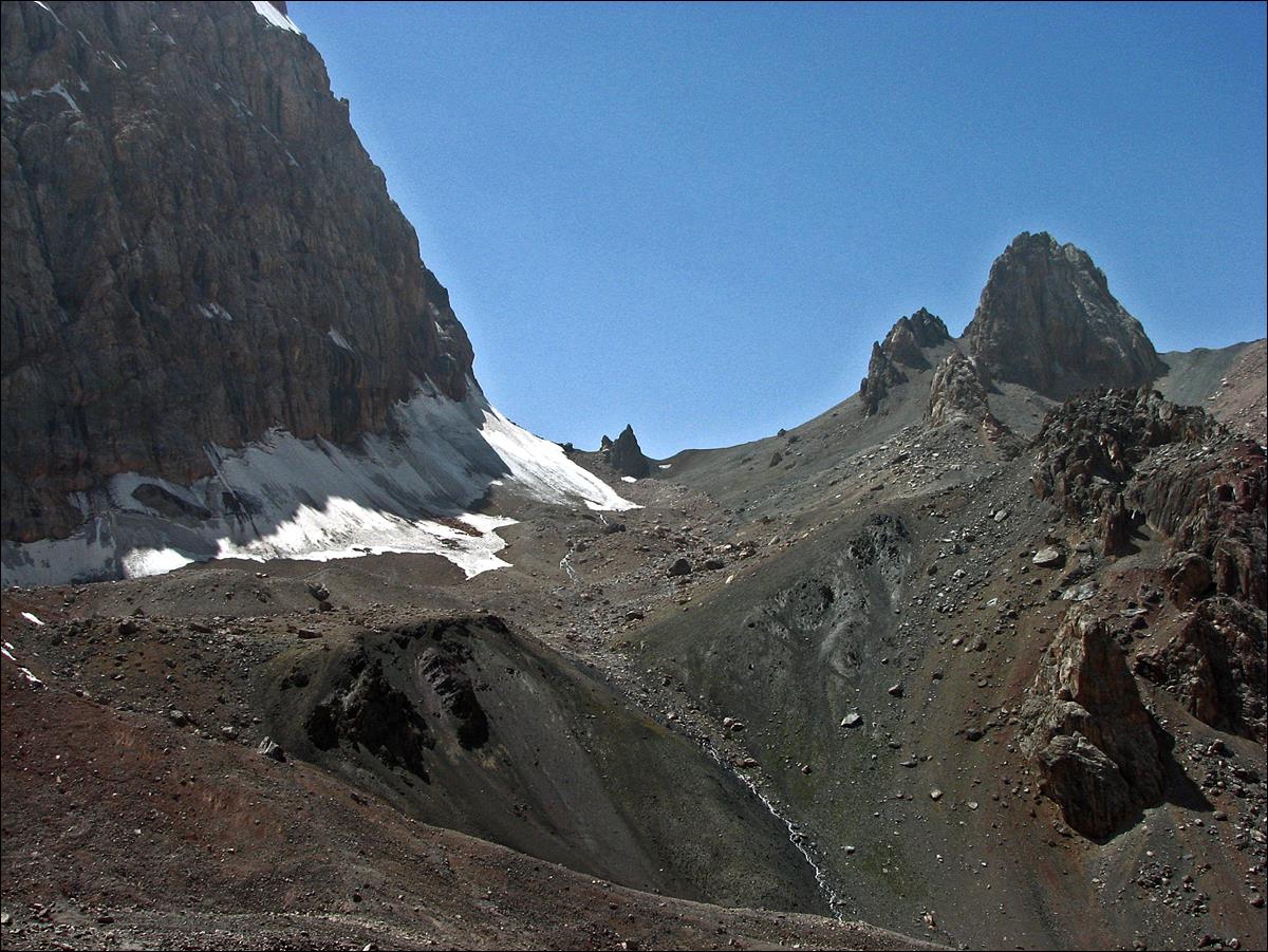
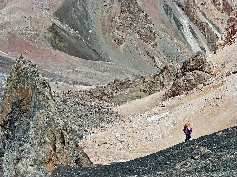
View of Dvoinoi pass from our camp. The path leading to the pass
lies on the left of the sharp gendarme.
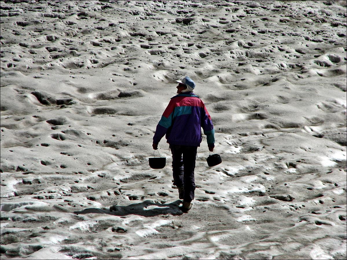
Slava searching for water
on the old packed snow near our camp.
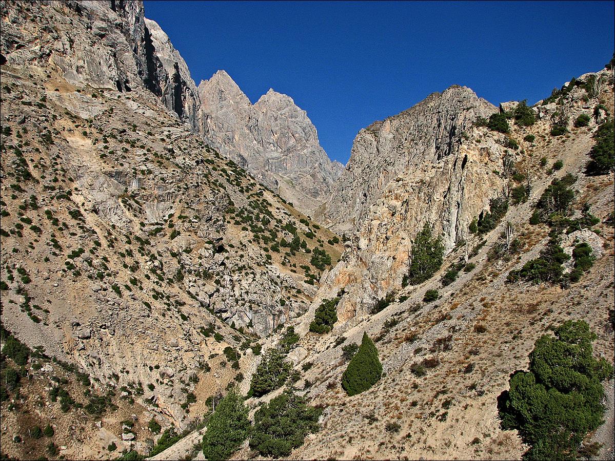
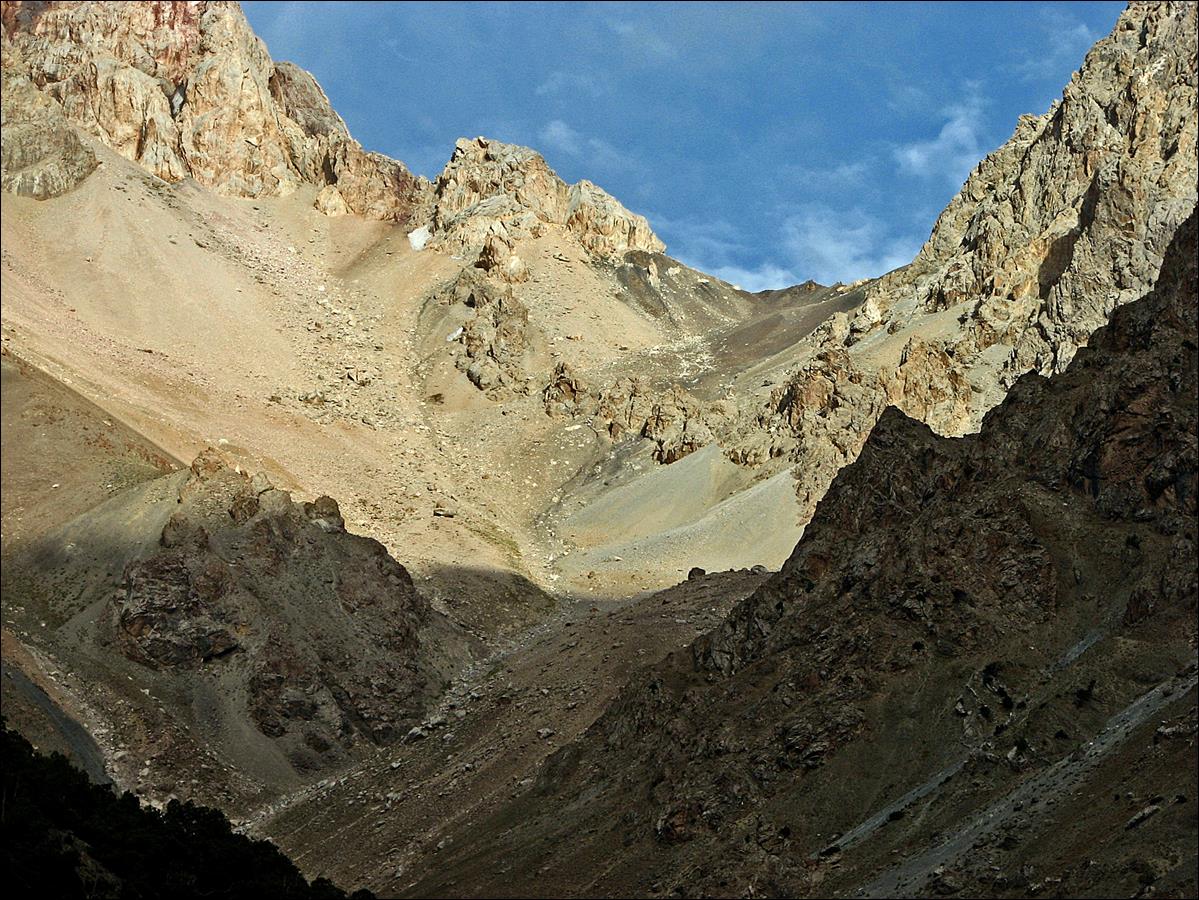
August 17-18: We crossed Dvoinoi pass
and descended along the Kaznok and Arkh rivers to eventually reach the village
of Sarytag, which had been the starting point of my 2004
trek in the Fann mountains. During this descent the scenery changed quickly
from austere rocks to lush green grass and trees. We spent one night near a
place called Maslokhatepe. We then set our next camp
along the Karakol river, a couple of kilometers
upstream from Sarytag.
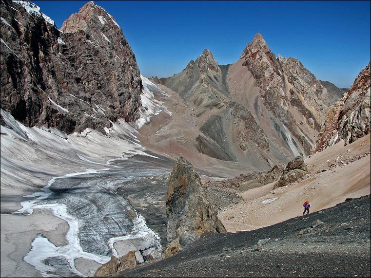
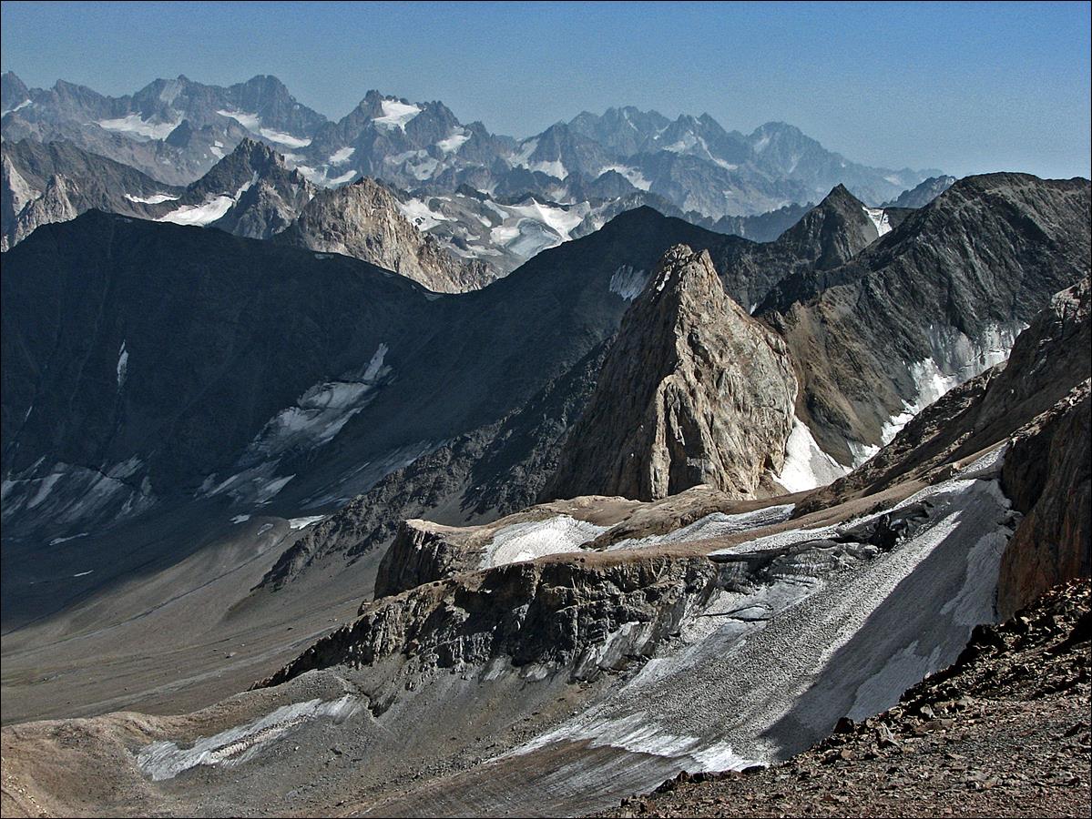
Slava ascending Dvoinoi pass above the rock gendarme. Amshut
Ninji pass is the pass in center-right background.
The other pass on its right is Vierkhni Amshut pass (4480m).
Other views of Slava
climbing.
|
|
|
Views toward the east
(first photo below) and the south (second photo) at Dvoinoi
pass.
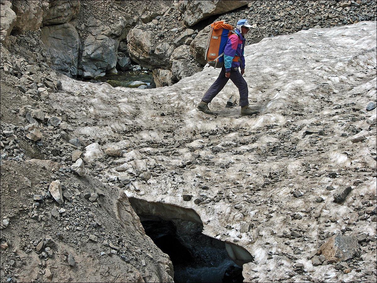
Slava crossing a scary
snow bridge over Kaznok river.
Descending into Kaznok
canyon.
Bonsai-shaped trees.
|
|
|
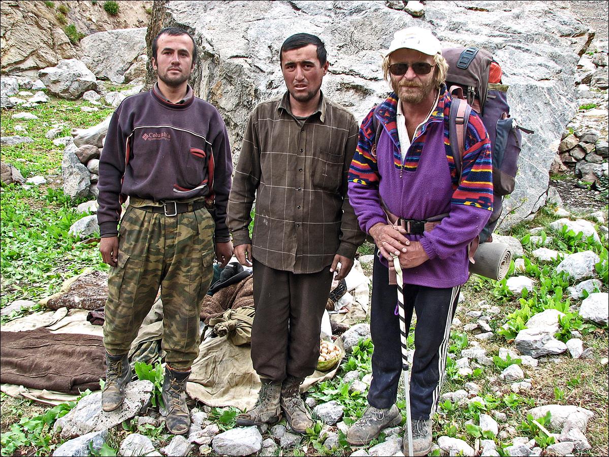
Herders (with Mishra) and
their sheep.
Successive views in the
Kaznok canyon.
Kaznok river merges with
other rivers to eventually become Arkh river seen in this photo.
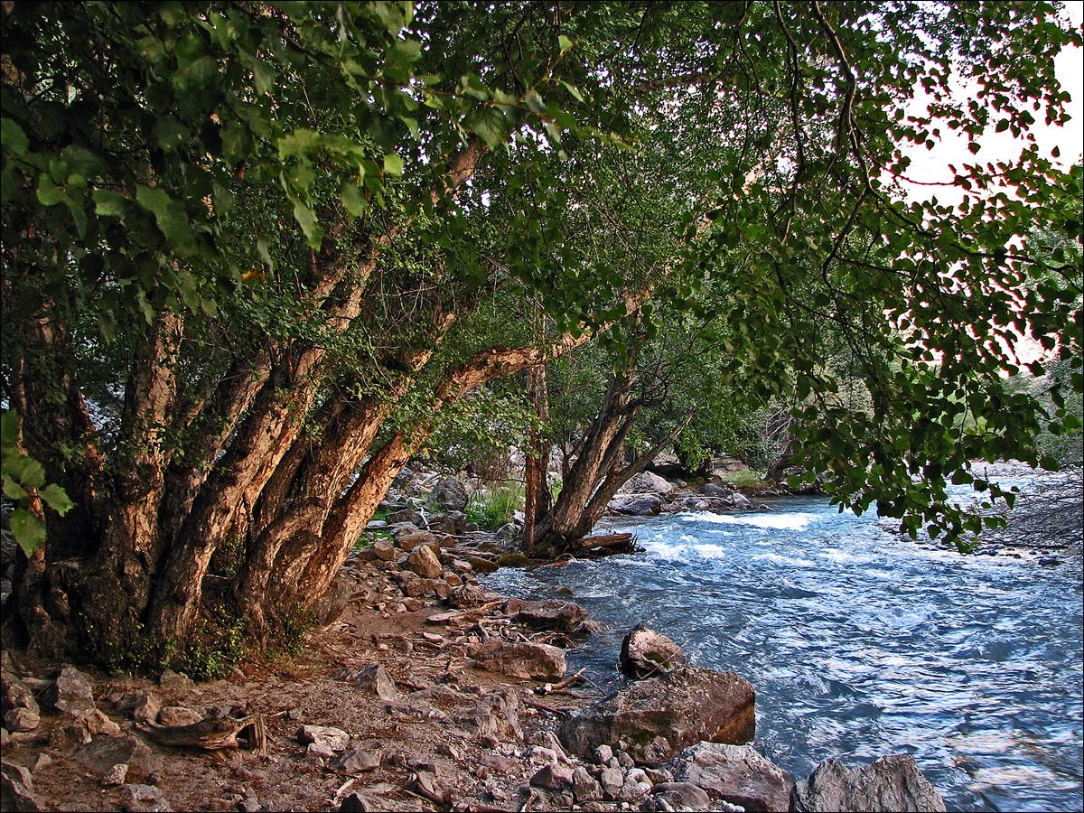
Lush green scenery along Arkh river.
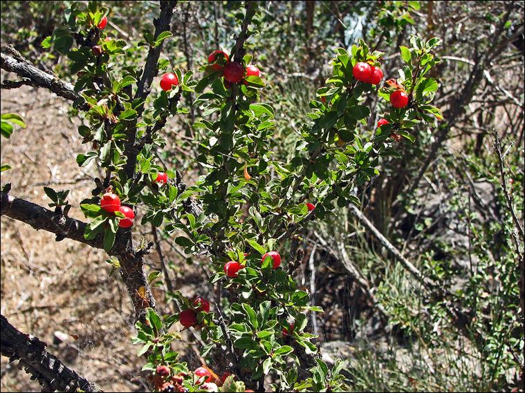
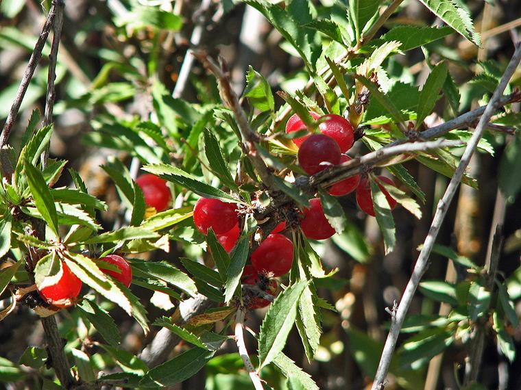
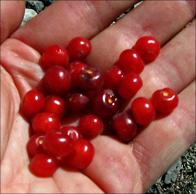
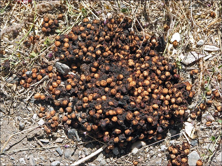
Mountain cherries. They
are delicious, but have big pits. Bears seem to like them too, but unlike us
they do not mind swallowing the pits!
|
|
|
|
|
|
Sarytag village (2400m) along the
Sarytag river (formed by the confluence of the Arkh
and Karakol rivers).
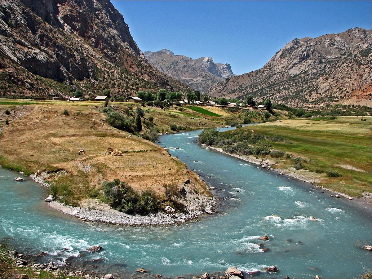
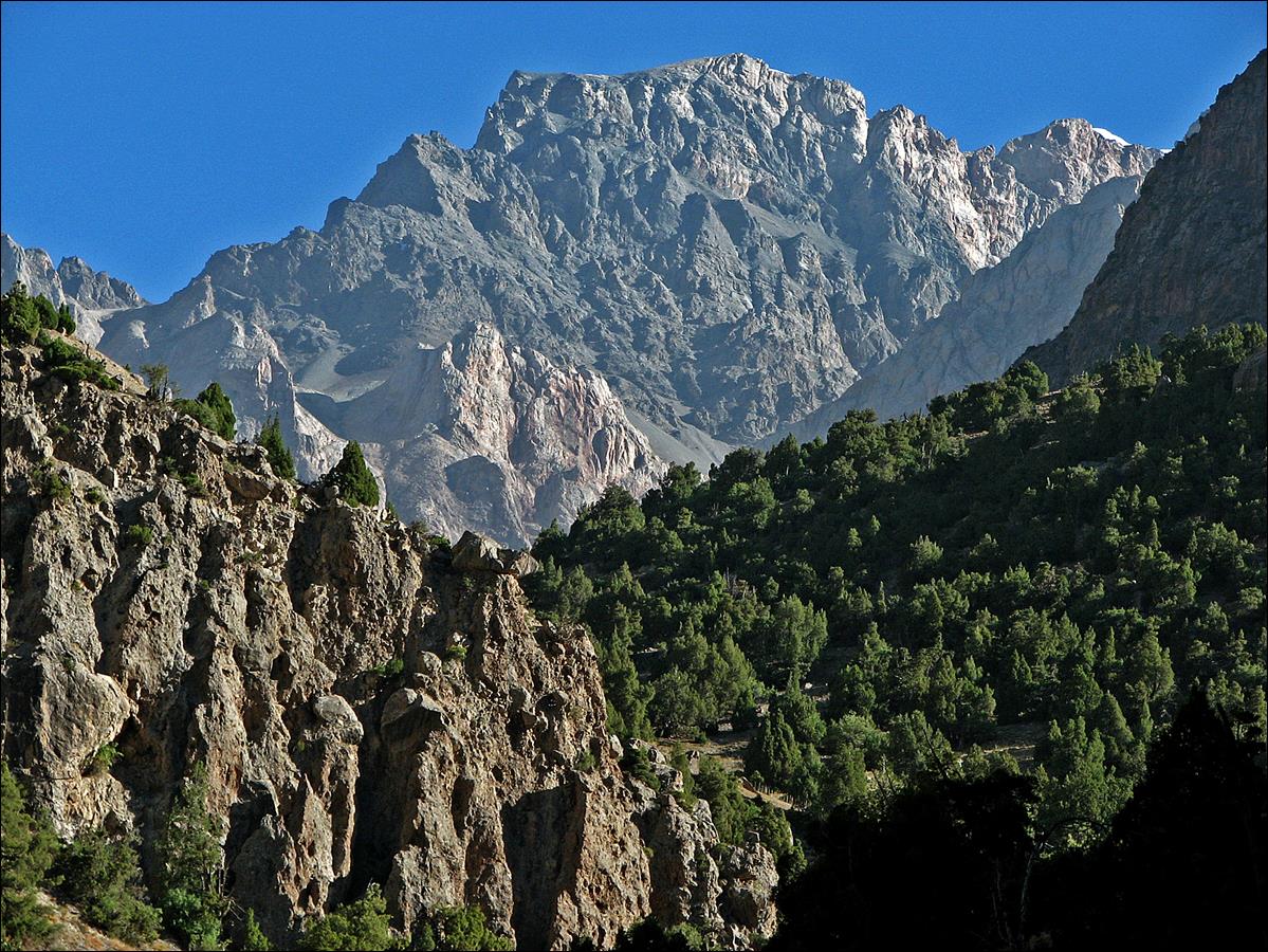
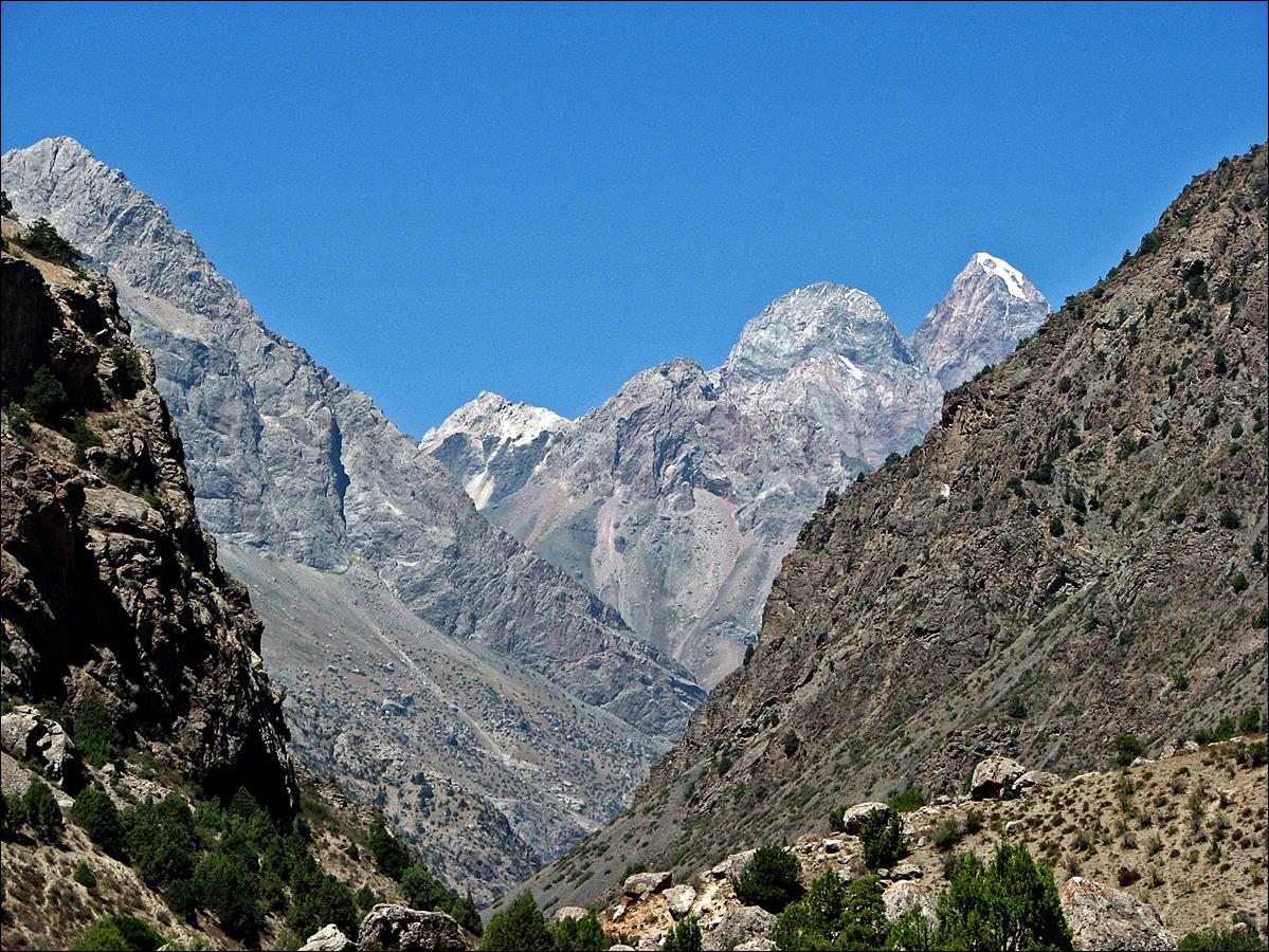
Last view of Chimtarga and Energia peaks from Sarytag through the Arkh canyon.
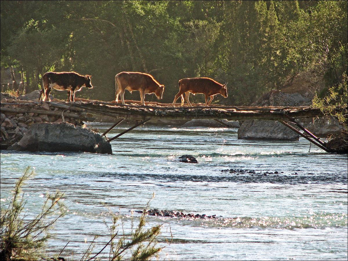
Cattle crossing Karakol river in the late afternoon.
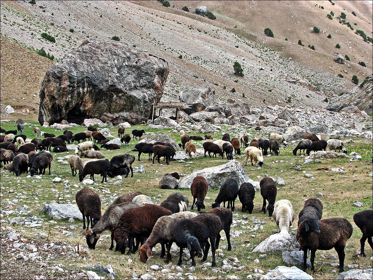
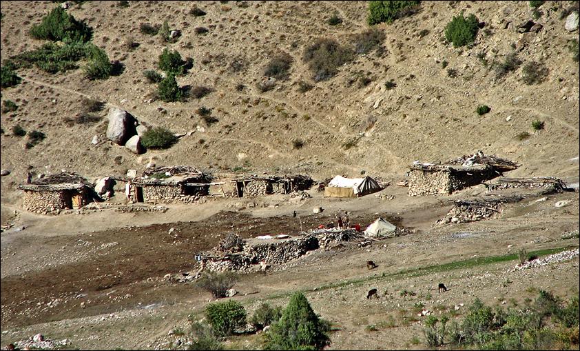
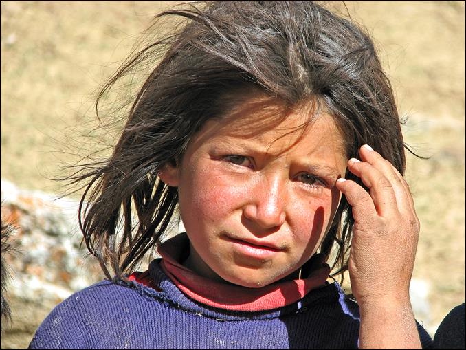
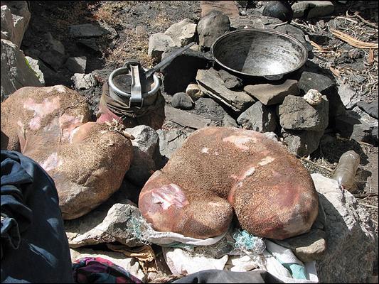
Small kosh
near Karakol river and girl from this kosh.
|
|
|
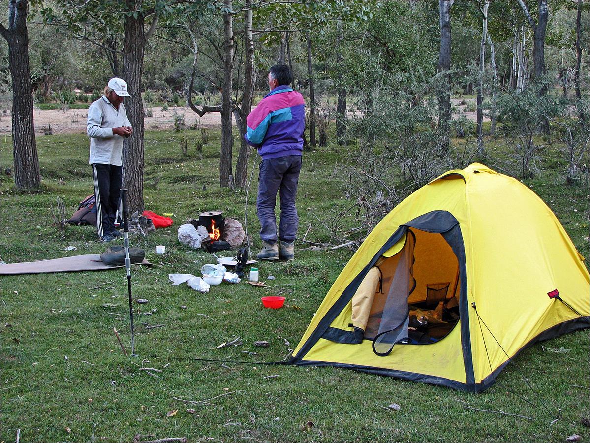
Our
camp near Karakol river.
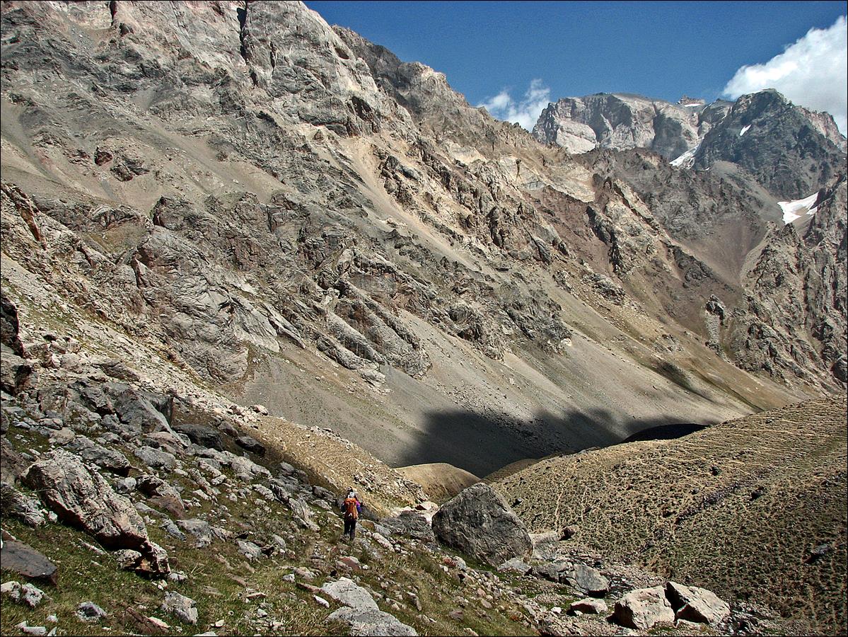
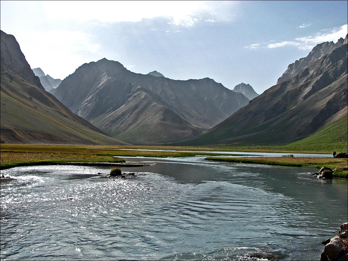
August 19-20: We hiked up in the long and wide Karakol valley, crossed Sarymat
pass (4160m) and descended into the valley of Kaznok river. This Kaznok river
is not the same as the one we followed a few days earlier. Many rivers (peaks,
passes...) in Central Asia have the same names (e.g., Aksu, Karasu, Karakol...), which can be quite confusing. This Kaznok
river flows south to north, while the former one flows west to east. Karakol river, which we followed during most of those two
days, flows west to east and reaches the southeastern end of the Fann
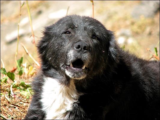
mountains. In its valley we met very hospitable herders (and their much less
friendly dogs).
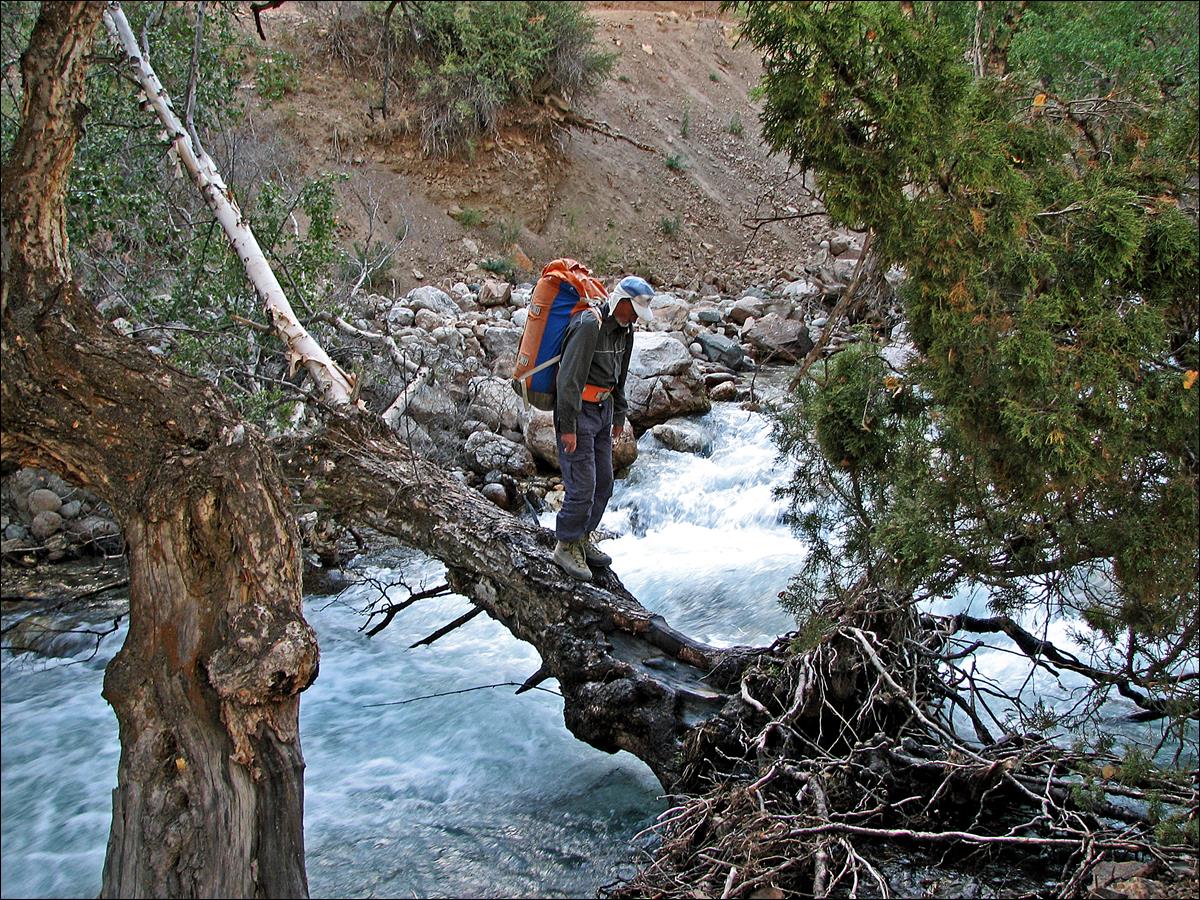
Slava crossing a tributary
(Dikondara) of the Karakol
river.
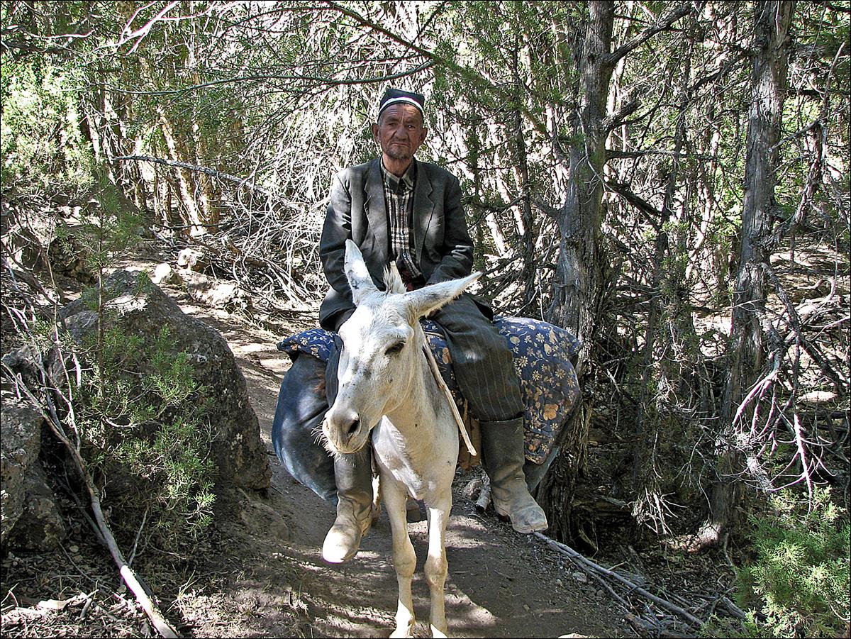
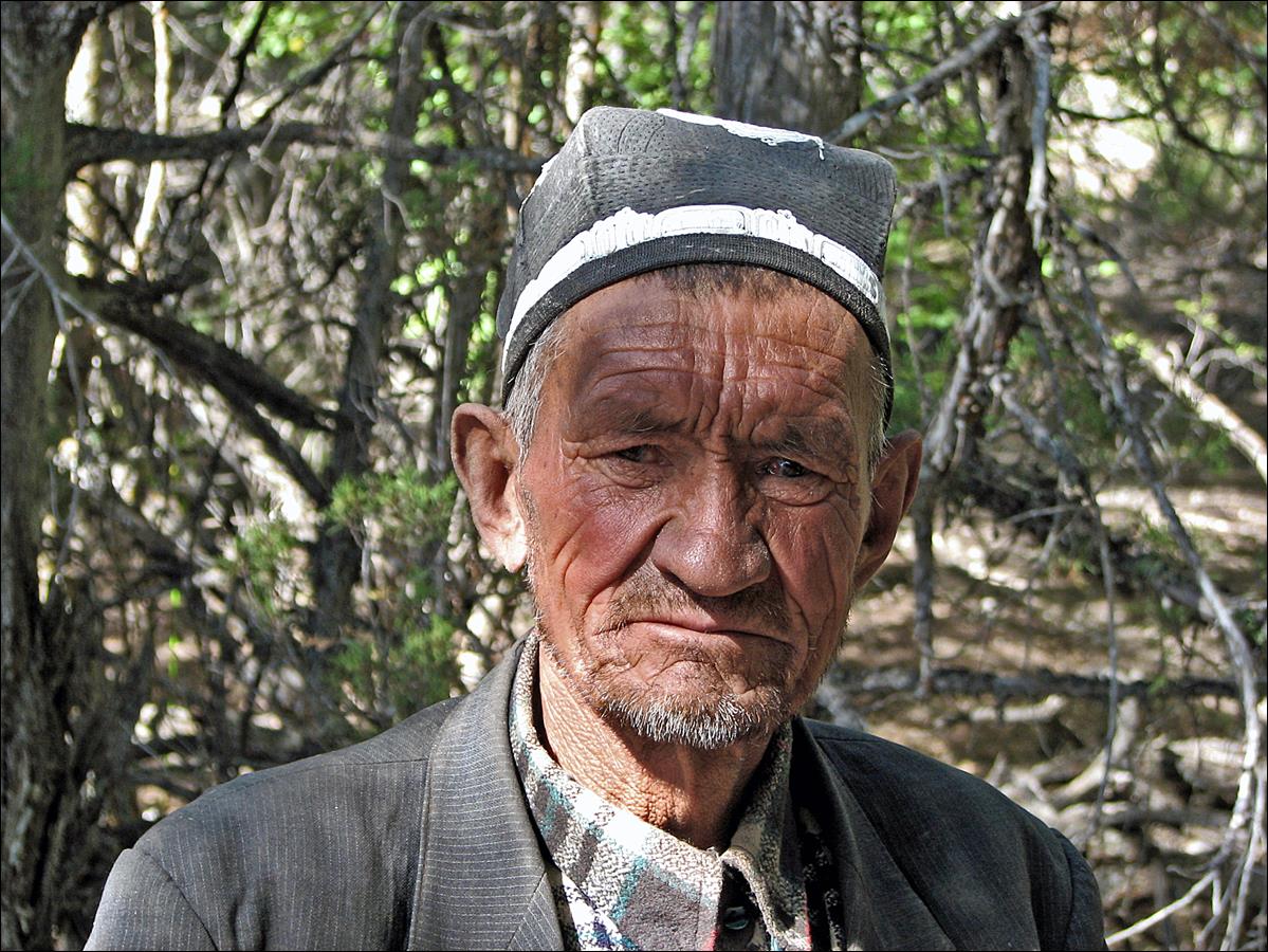
Tajik man on his donkey.
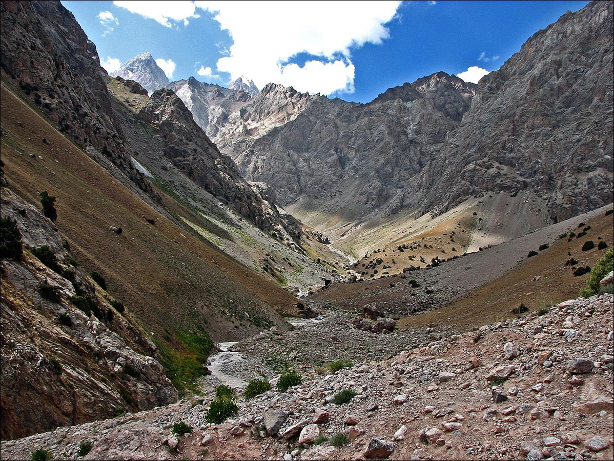
View of Karakol valley (looking toward the east, hence toward Sarytag).
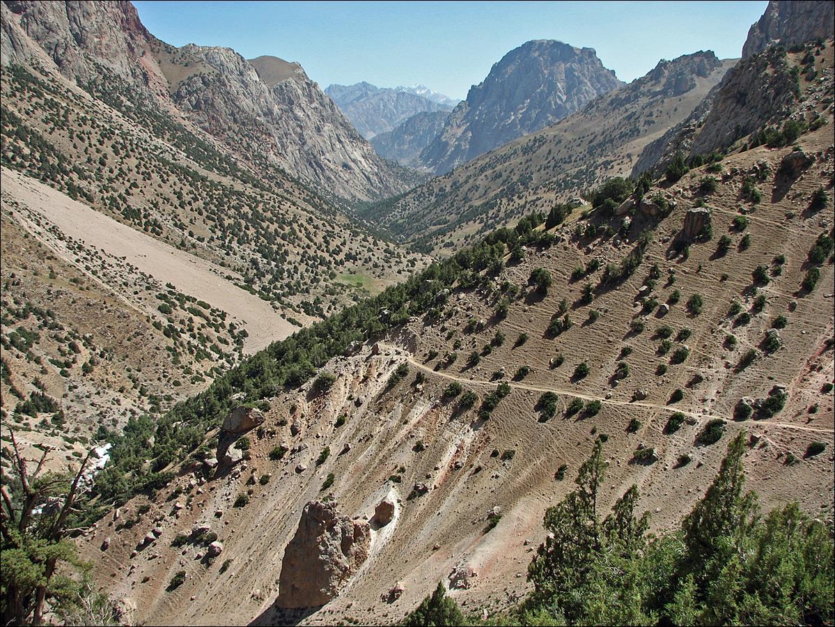
For a while the valley was
V-shaped with steep sides. We followed a trail high above it.
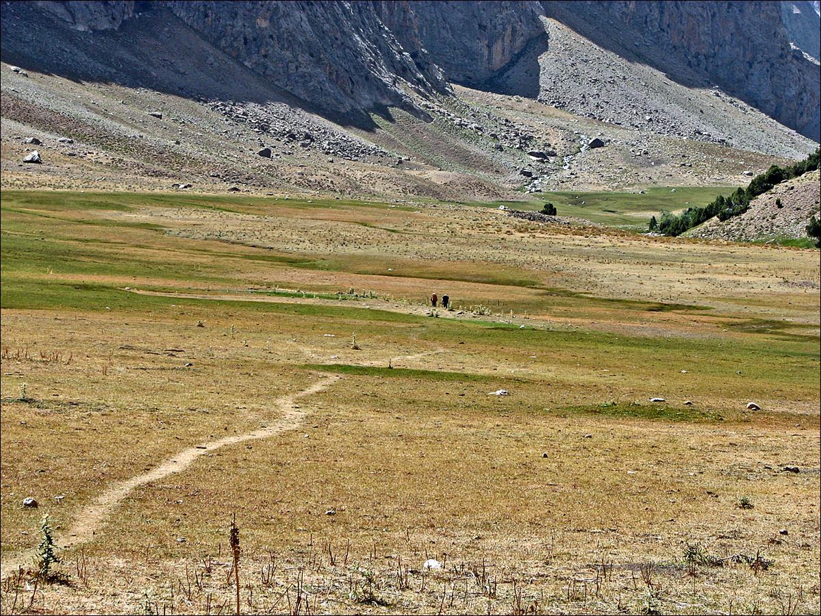
Eventually the bottom of
the valley became flatter. Here, a view toward the west, with Mishra and Slava
hiking ahead of me.
Side view along the way.
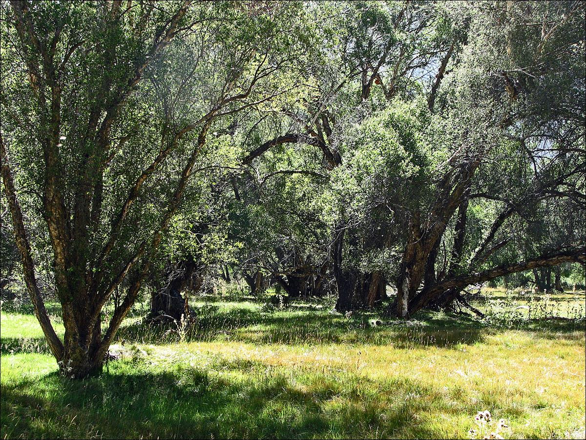
We established a camp in a
grassy area near the end of the wide section of the valley.
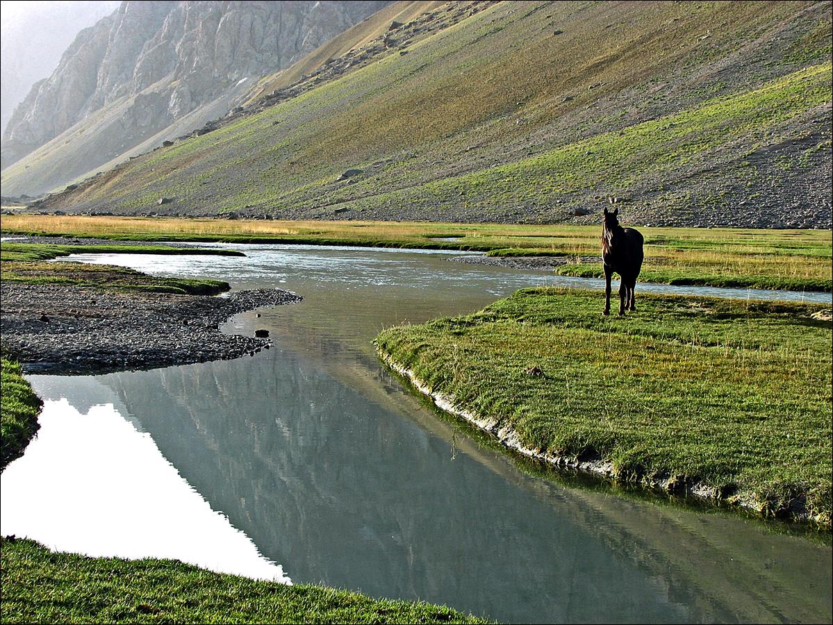
Herd of sheep and goats
rushing down to Karakol river in the evening.
|
|
|
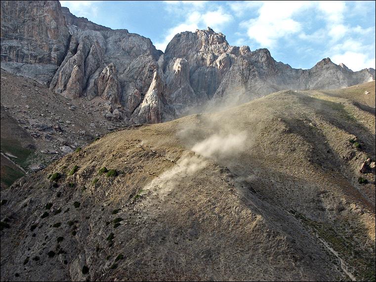
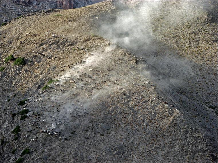
Curious, they stopped by
our camp. It was a bit overwhelming.
|
|
|
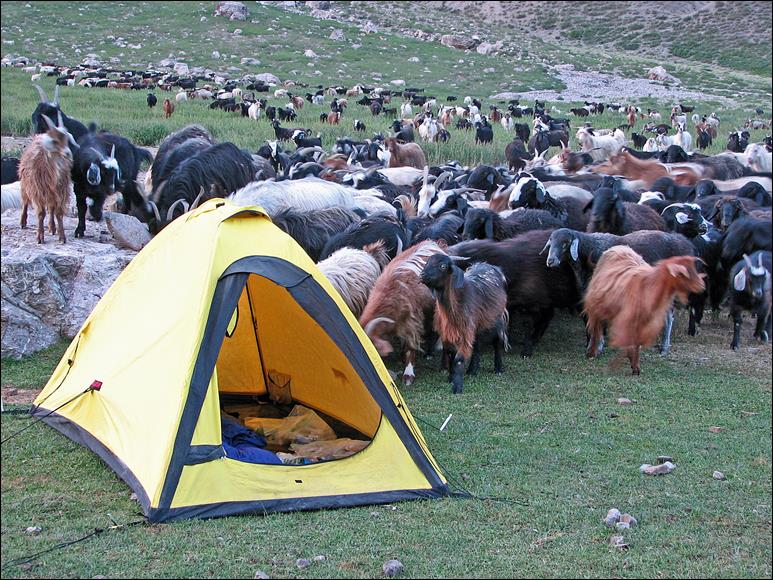
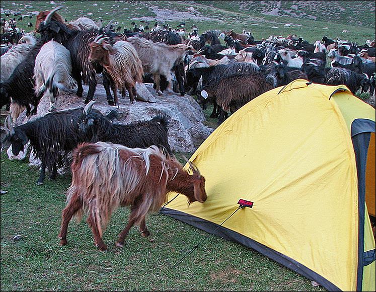
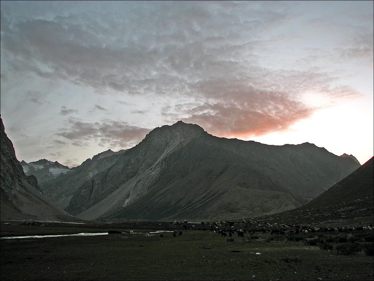
Sunset seen from our camp.
On the next day, before
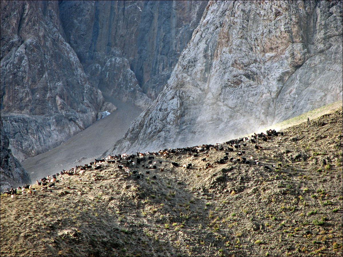
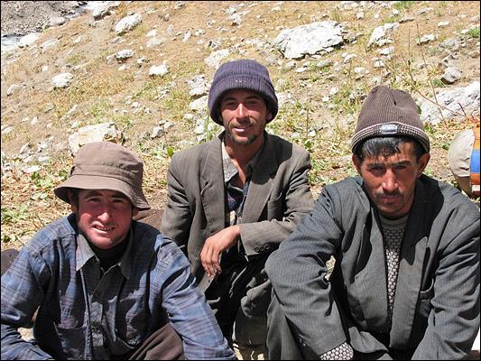
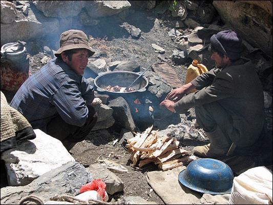
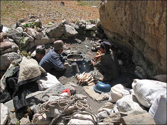
ascending Sarymat pass, we met a group of shepherds,
who generously offered us a great lunch with the meat of a goat they had just
killed. They were from Penjikent, spending several
consecutive weeks in the mountains to watch over several herds of sheep and
goats. In the bottom-left photo the two bags made of sheep skin are used to
ferment yoghourt. The shepherds‛ dogs had been trained to protect herds
against bears and wolves. They were not very big, but they were mean,
aggressive, and totally fearless. Their ears had been cut so that they are not
bitten during fights (see bottom-right photo). Slava, Mishra, and I always
courageously stayed closely together in the presence of such dogs.
|
|
|
|
|
|
|
|

Start of the ascent toward
Sarymat pass.
View toward the east while
ascending Sarymat pass.
Slava on the last stretch
of slope below Sarymat pass.
Mishra at the pass.
Actually, there are two successive passes at about the same elevation. This is
the first one. The second pass is not visible in this photo, but the path to it
is visible on the left.
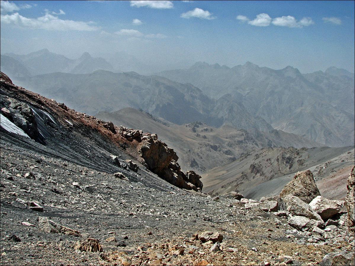
View from the first pass.
The second pass seen from its western side near Kaznok river.
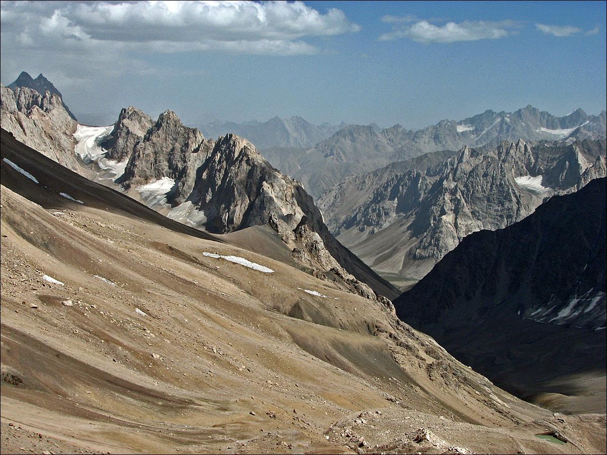
August 21: While Slava and Mishra stayed at our camp near
Kaznok river below Sarymat pass, I spent the day
exploring the upper part of Kaznok valley and a side canyon leading to a peak
called Aksu peak.
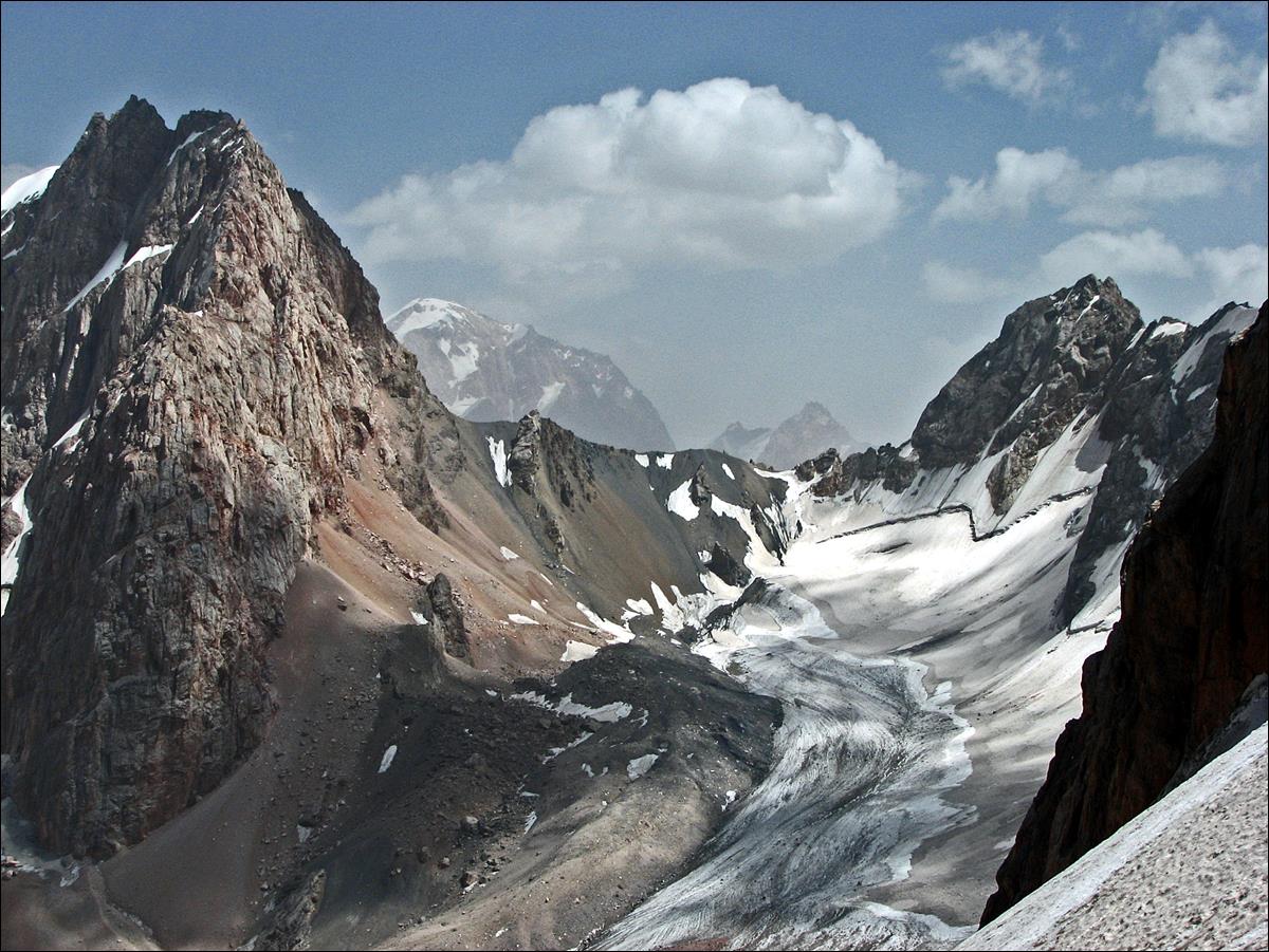
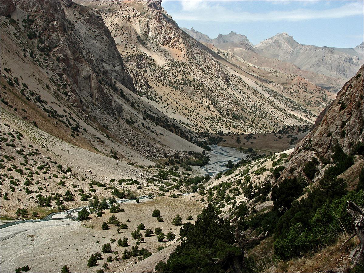
Kaznok river flows south
to north. This is a north-looking view of its valley.
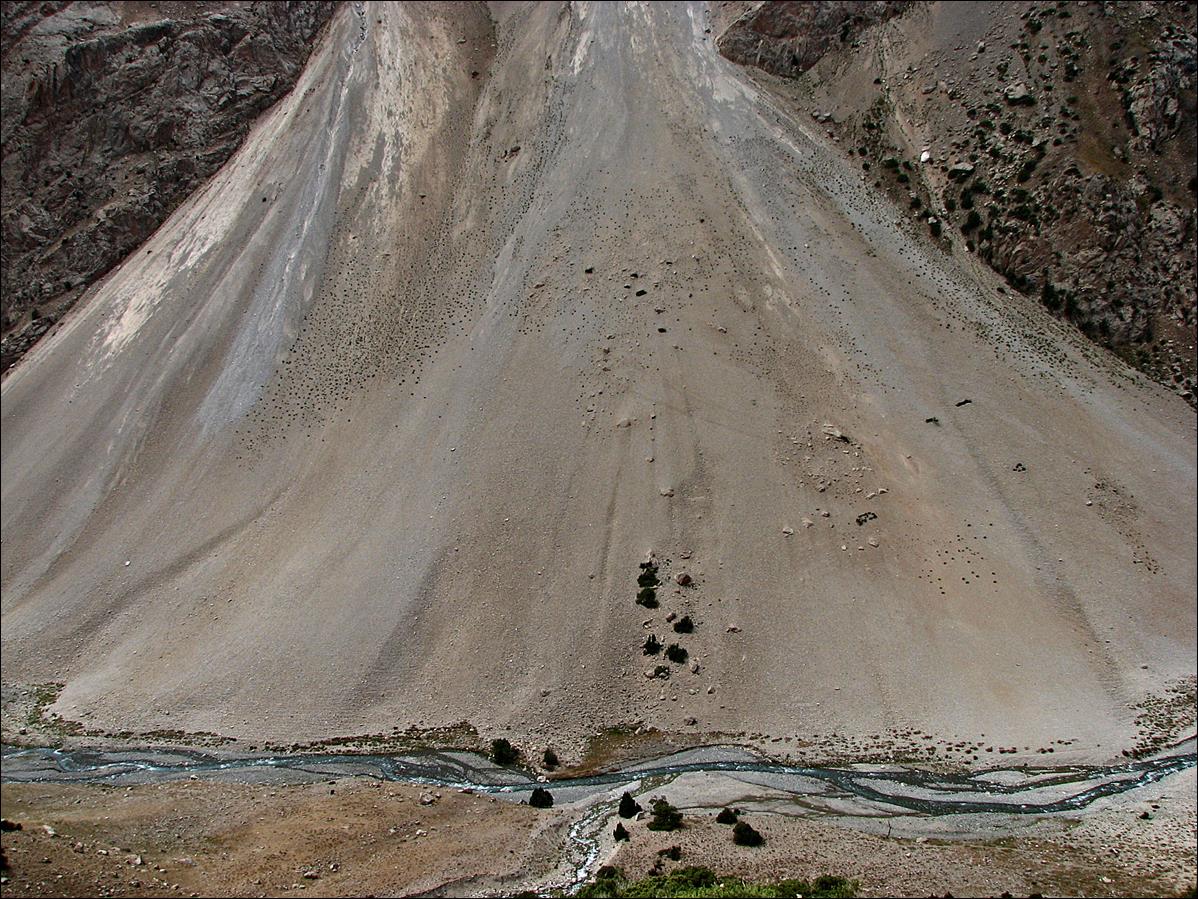
An almost perfect cone of
dejection.
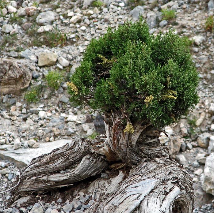
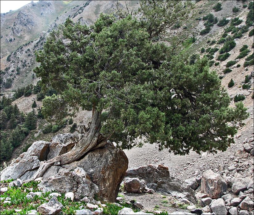
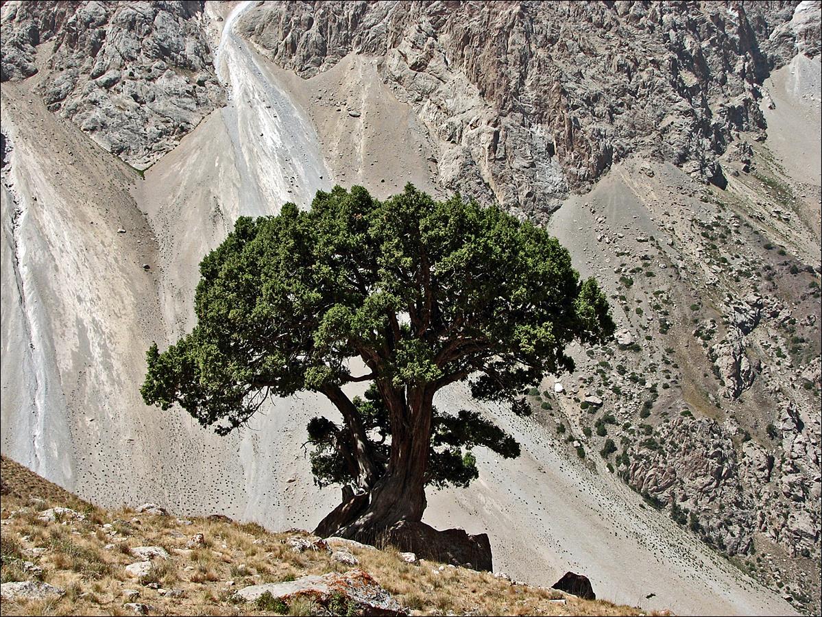
A lonely juniperus.
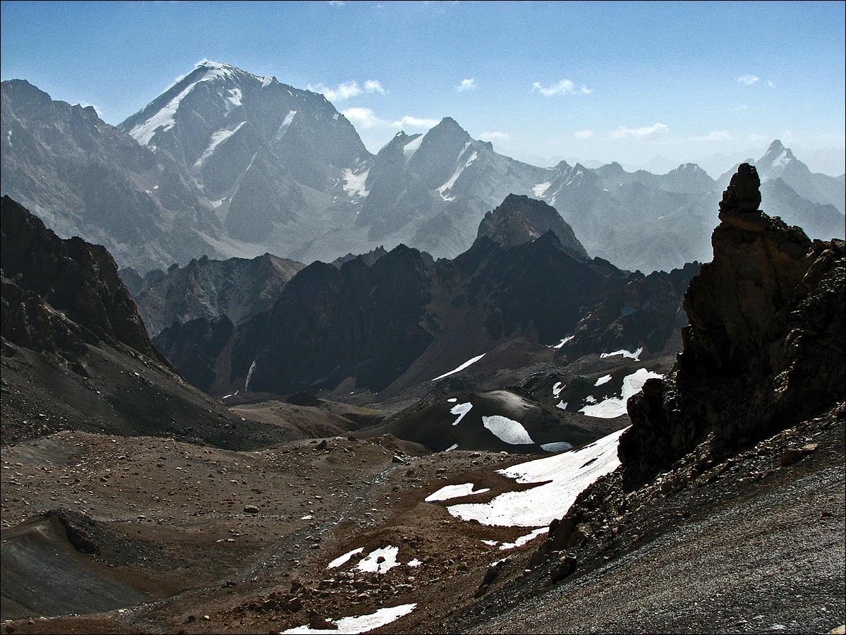
Southern end of Kaznok
valley. The border with Uzbekistan is on the ridge two kilometers away.
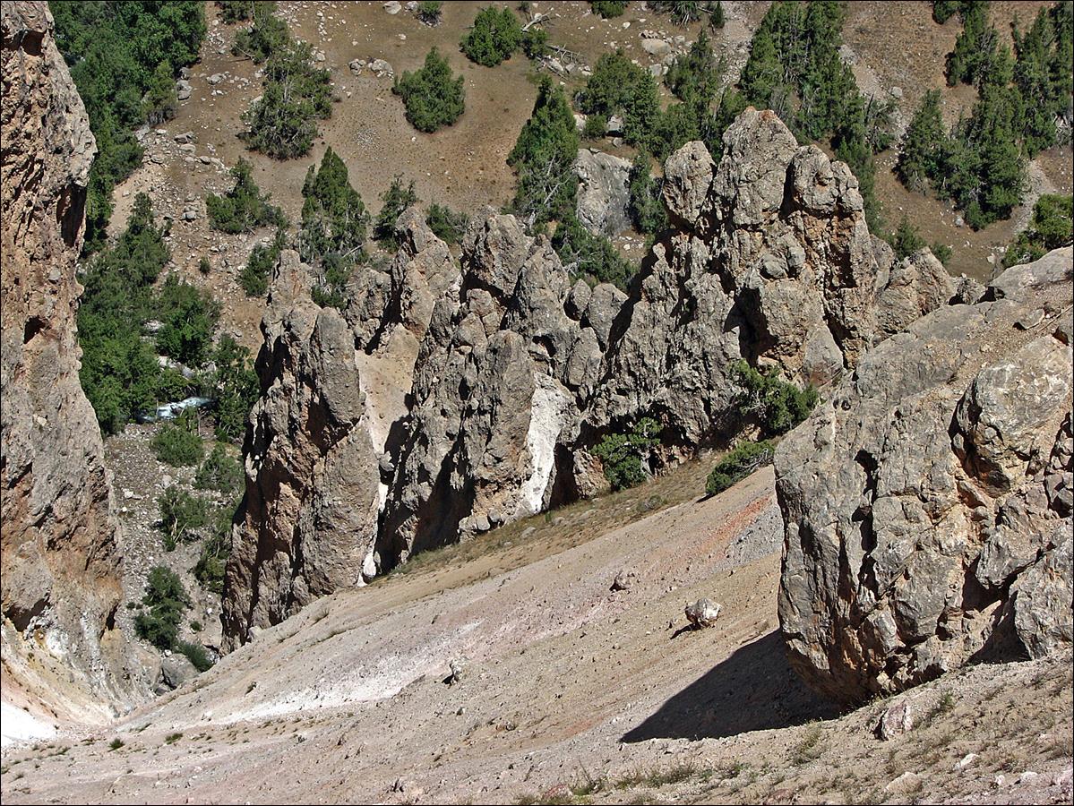
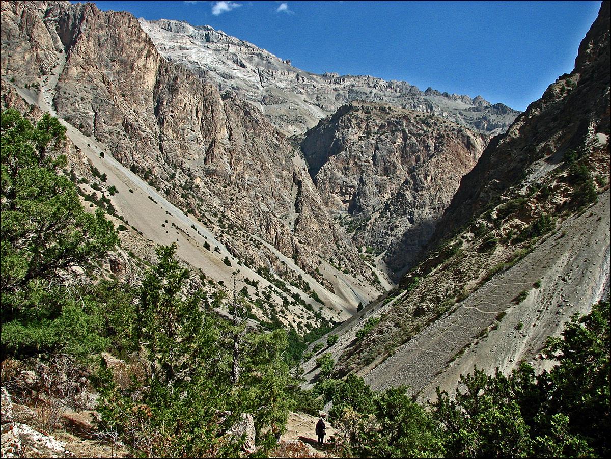
August 22: We hiked Kaznok river down (toward the north). It
soon becomes Sarymat river, until this river merges
with Archamaidan river. We hiked along Archamaidan river down to Gazza village, which is
accessible by car. We spent our last night near this village. At
the beginning of the day we crossed the path of my 2004
trek between Munora and Tavasang
passes. This is roughly where Kaznok river becomes Sarymat river.
The canyon of Sarymat river.
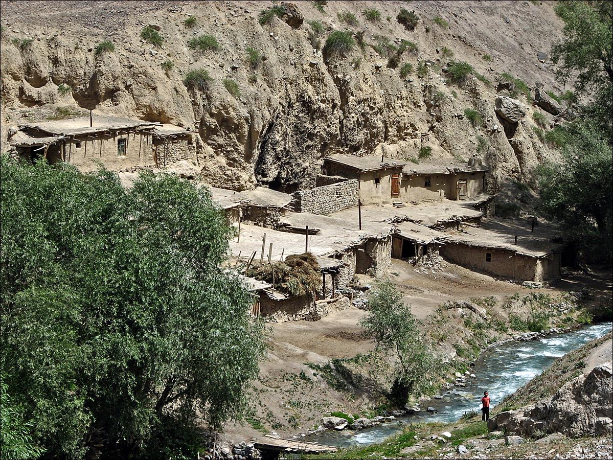
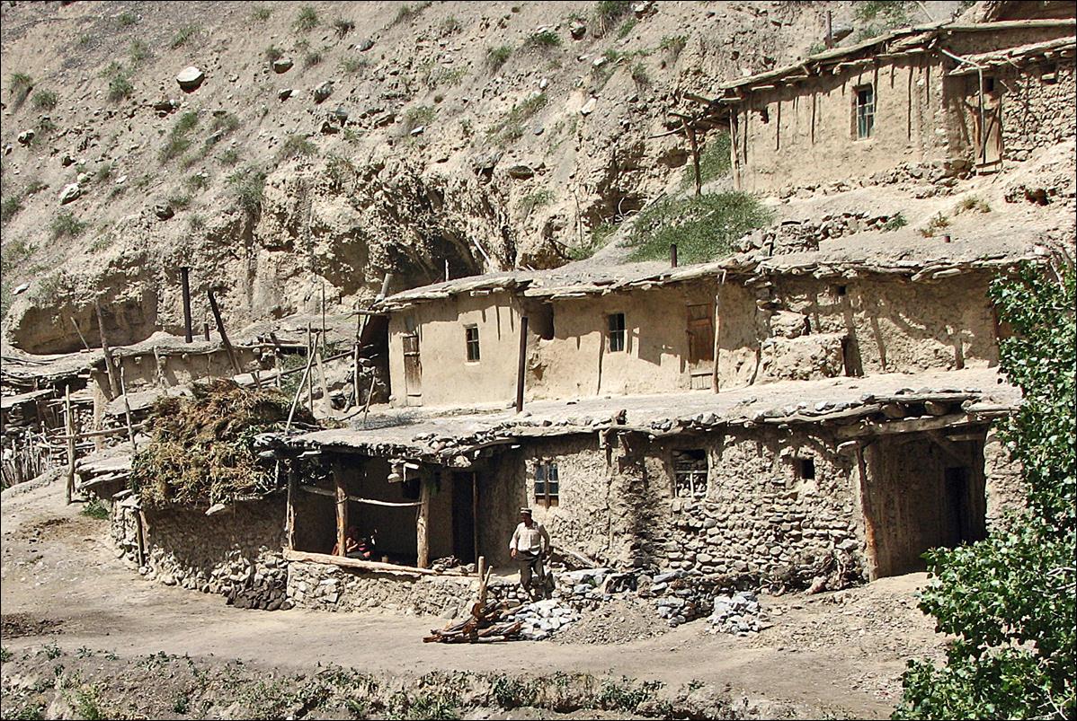
Khumorigung village.
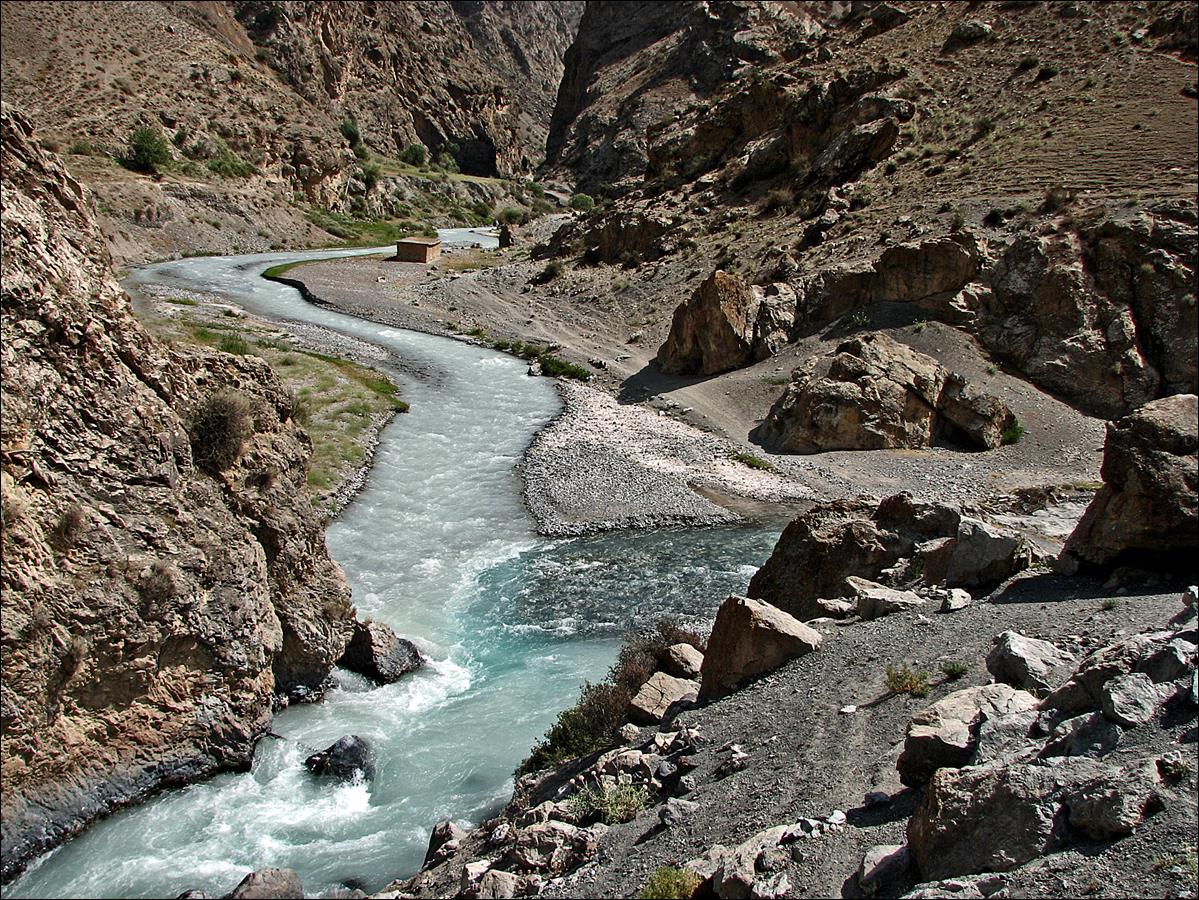
Conluence of Archamaidan
and Sarymat rivers. Sarymat
river is the one with clear water on the right.
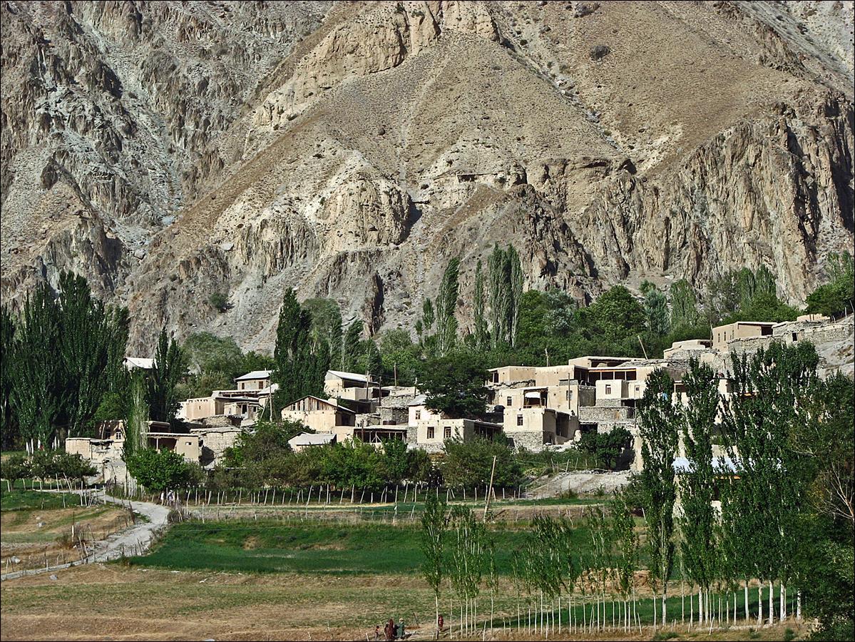
Gazza village. We spent
our last night near this village. In the evening, children from the village
brought us bread and dried apricots as a gift.
On August 23 we waked up
at 3am and started walking. We were one day early (we had arranged a car to
pick us up on the 24th), so we walked for a few hours until we found a car that
took us to a busy farmer market where we found another car to Penjikent.
![]()