Chile (July-August 2015): Precordillera between Arica and Putre
![]()
Return to main Chile 2015 webpage
|
Map of the region between Arica and Putre: |
Old map with the Ruta de la Plata between Potosi and Arica: |
|
|
|
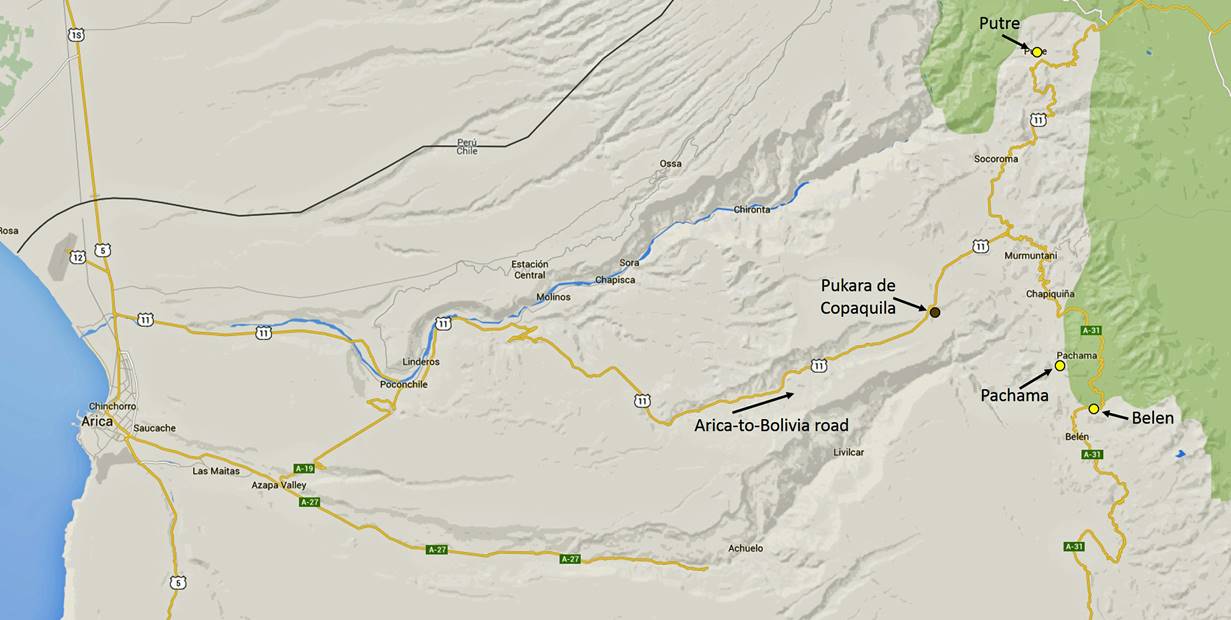
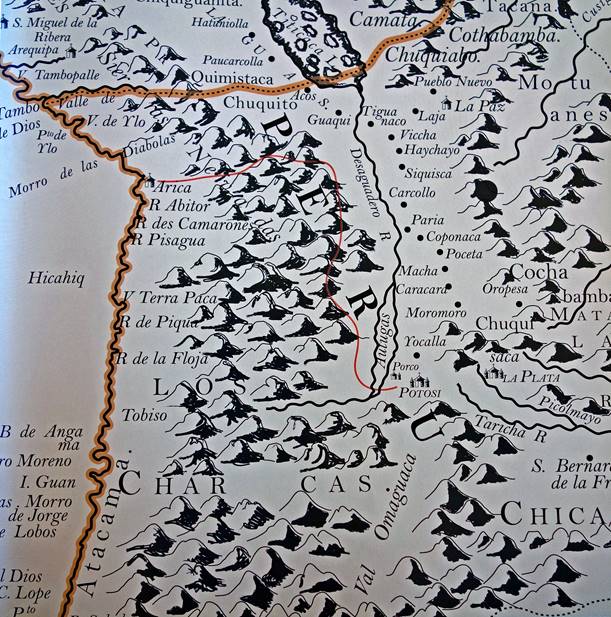
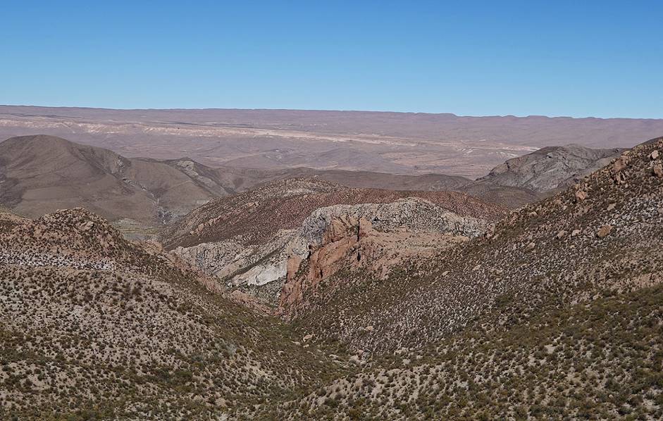
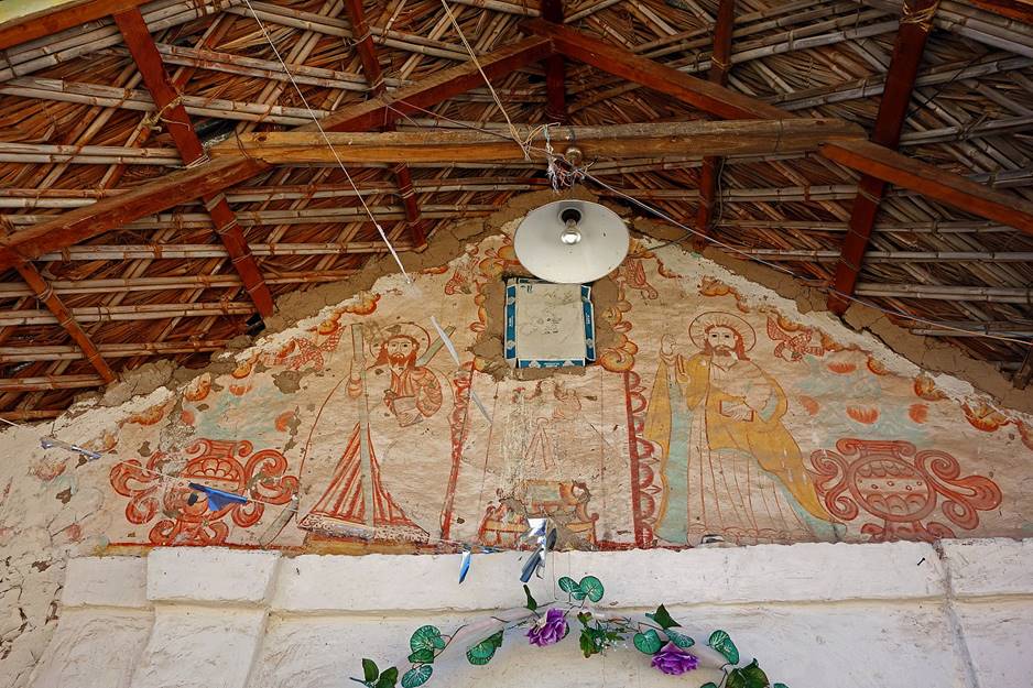
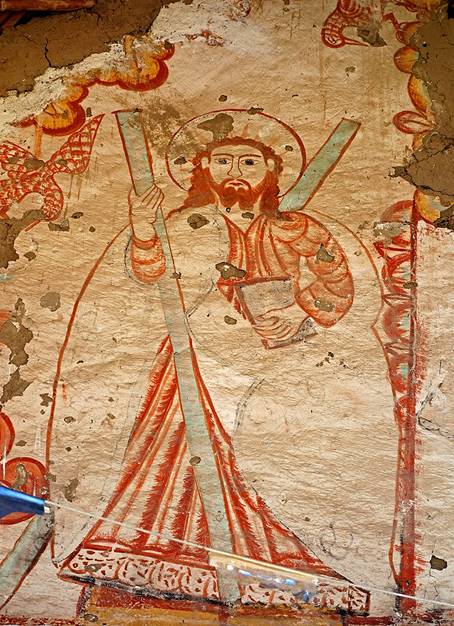
The Precordillera refers to the region of hills and mountains lying approximately between 2000m and 3500m on the west of the Altiplano and the central cordillera. Its landscape, fauna and flora are very different from those found at higher elevation. In the 16th to 18th centuries silver mined in Potosi was transported by caravans run by Spanish colonizers through the Precordillera to Arica, where it was shipped to Spain (see map on the right above). New villages were founded to serve as supply points for these caravans. Simultaneously the indigenous population of the region (Aymara people) was evangelized by missionaries and about 90 small, rustic adobe and/or stone churches were built (e.g., Pachama, Belen, Socoroma, Putre, Parinacota, Guallatiri...). Many of these churches are now crumbling, but efforts are underway to renovate some of them (project Ruta de las Misiones). Today, the rural Aymara population is dwindling and most villages have fewer than 30 inhabitants. On the other hand, the Arica-to-Bolivia road across the Precordillera (road #11) is busy with lines of Bolivian trucks carrying goods back and forth between Arica and Bolivia and, during the dry season, Chilean trucks carrying borax between Salar de Surire where it is mined and a treatment plant near Arica. The modern Arica-to-Bolivia road follows roughly an ancient Tiwanaku/Inca route.
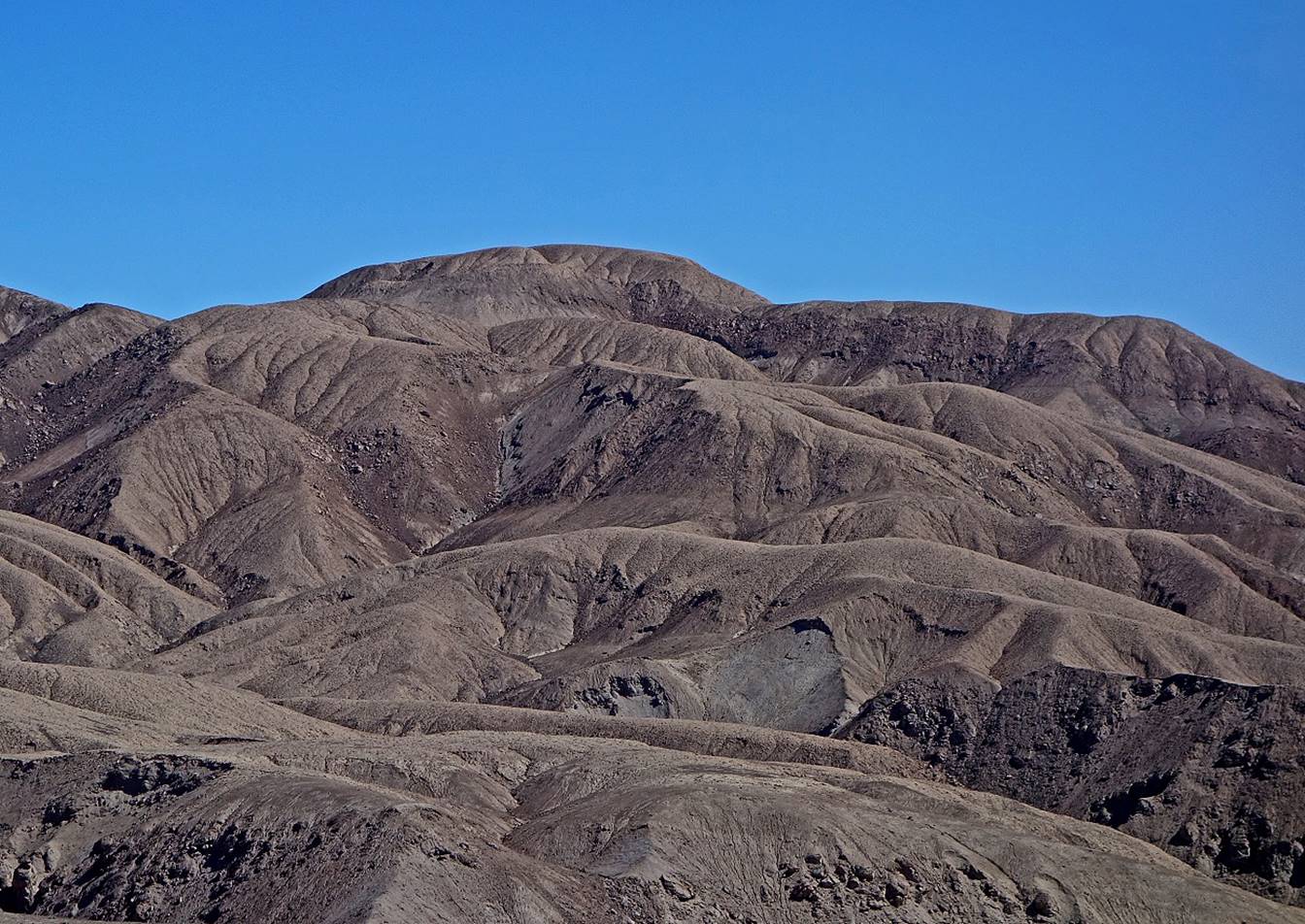
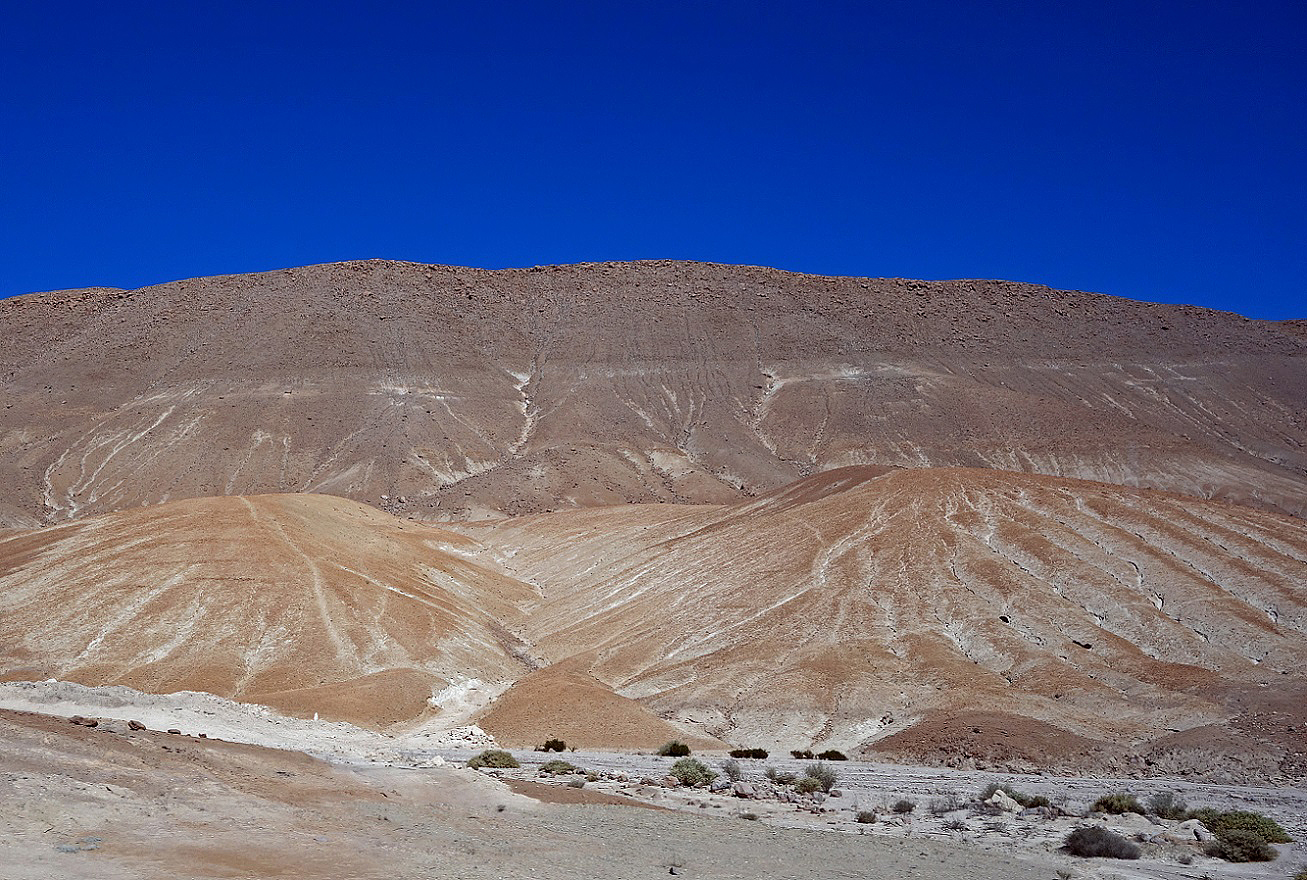
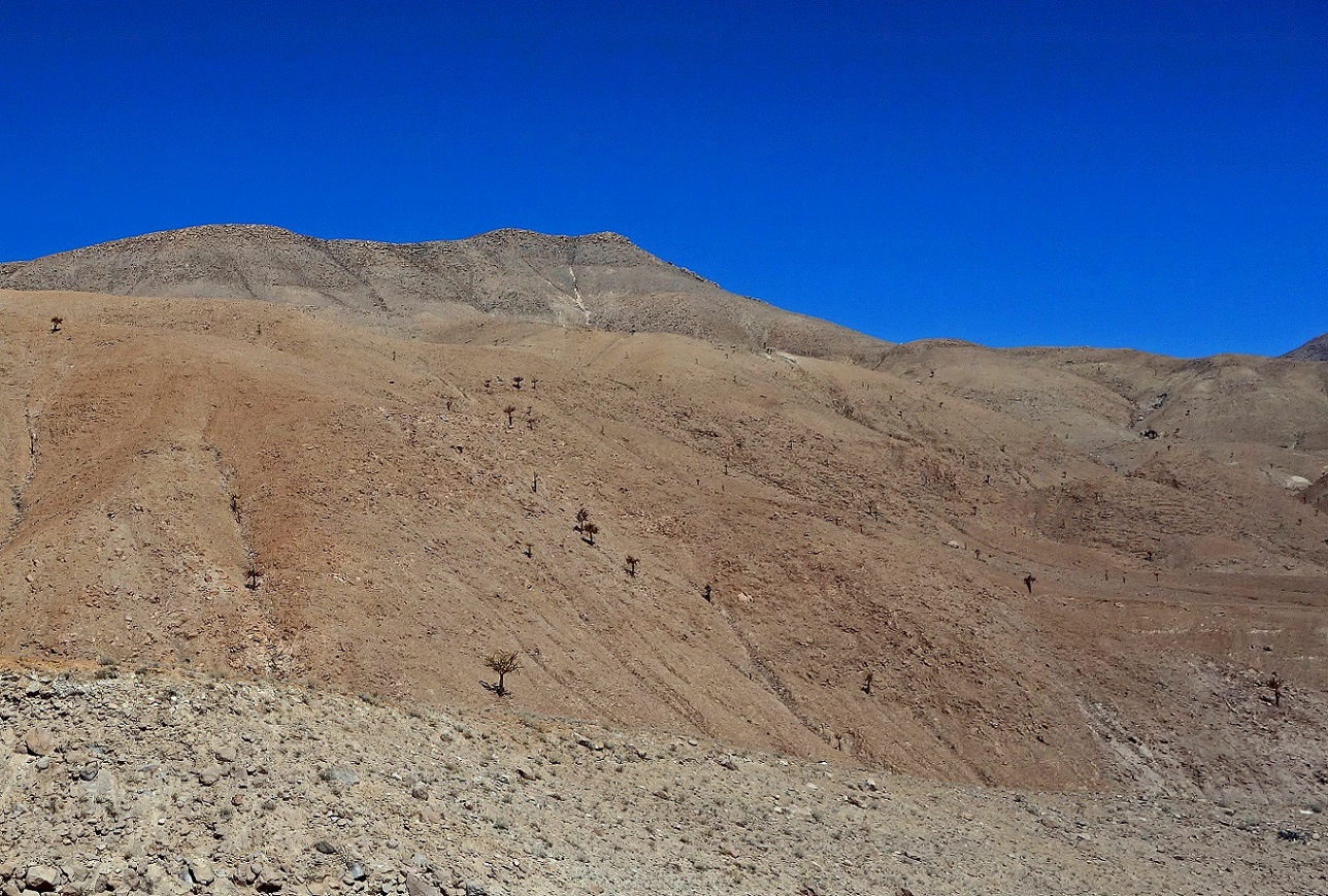
Dry hills at low elevation seen from the Arica-to-Bolivia road (soon after leaving the Lluta valley).
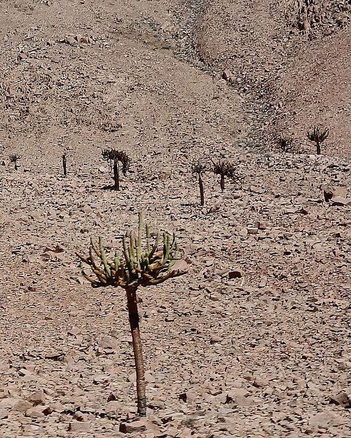
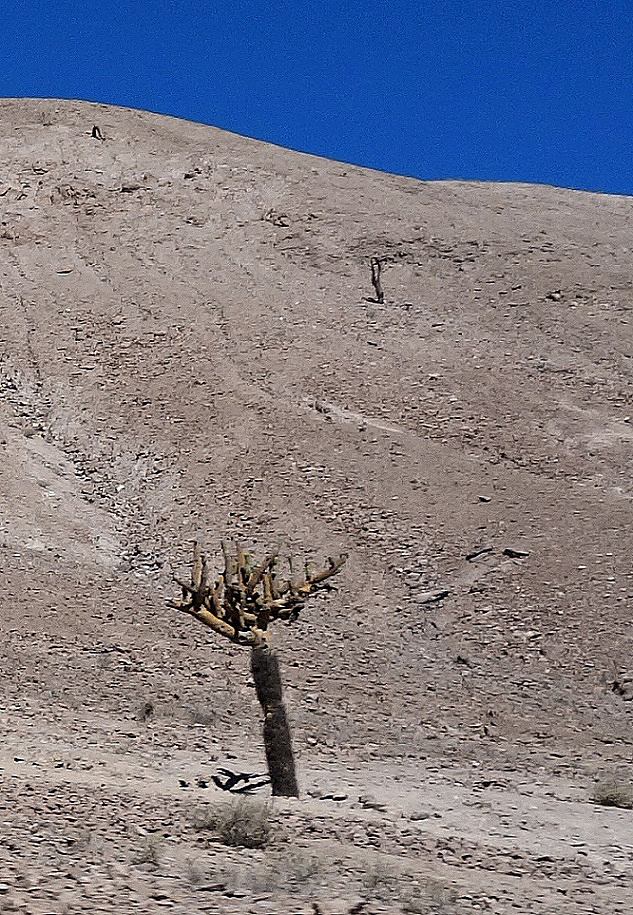
At higher elevation (around 2000m) some sparse candelabra cactus grow on the dry terrain.
|
|
|
|
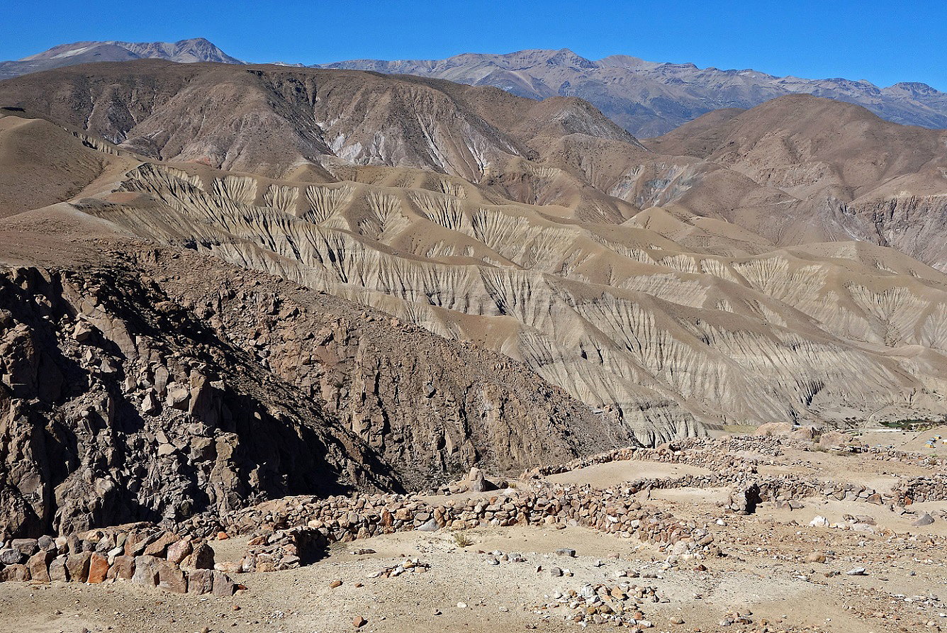
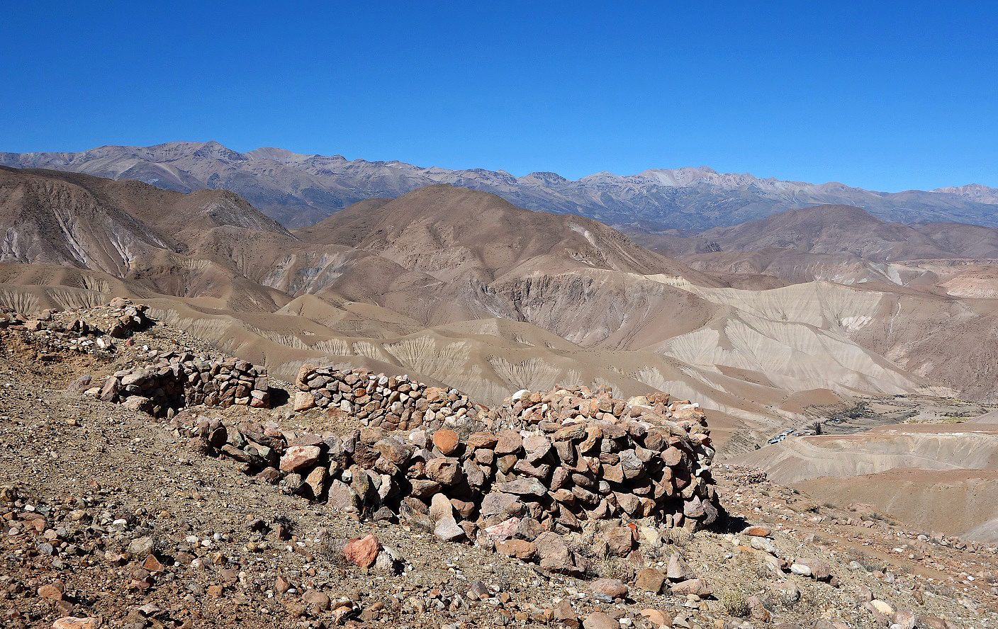
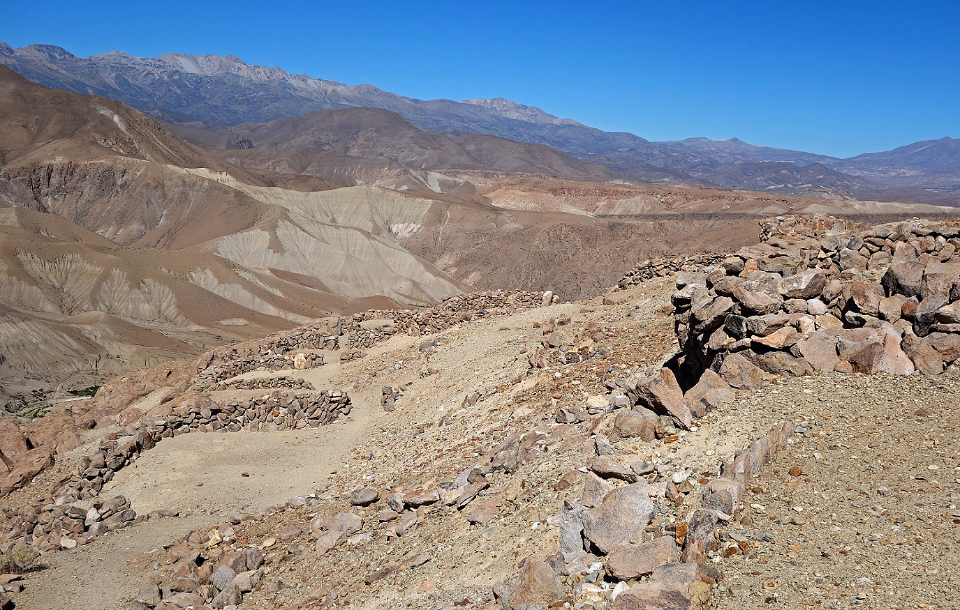
Pukara de Copaquilla at 3000m. A ″pukara″ is a prehispanic fort. This pukara was used to protect an ancient Tiwanaku/Inca route between the Altiplano and the ocean and to store food supplies.
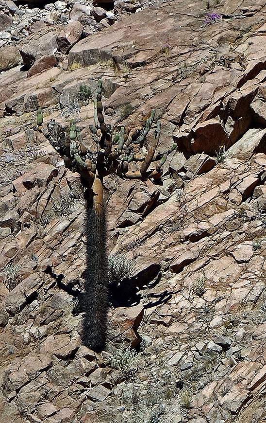
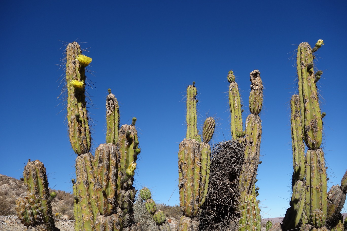
Cactus at about 3000m along the side road leading to Belen. The nest in the first photo is that of a bird called ″canastero″ (literally, ″basket maker″). Its construction between cactus trunks provides protection against predators.
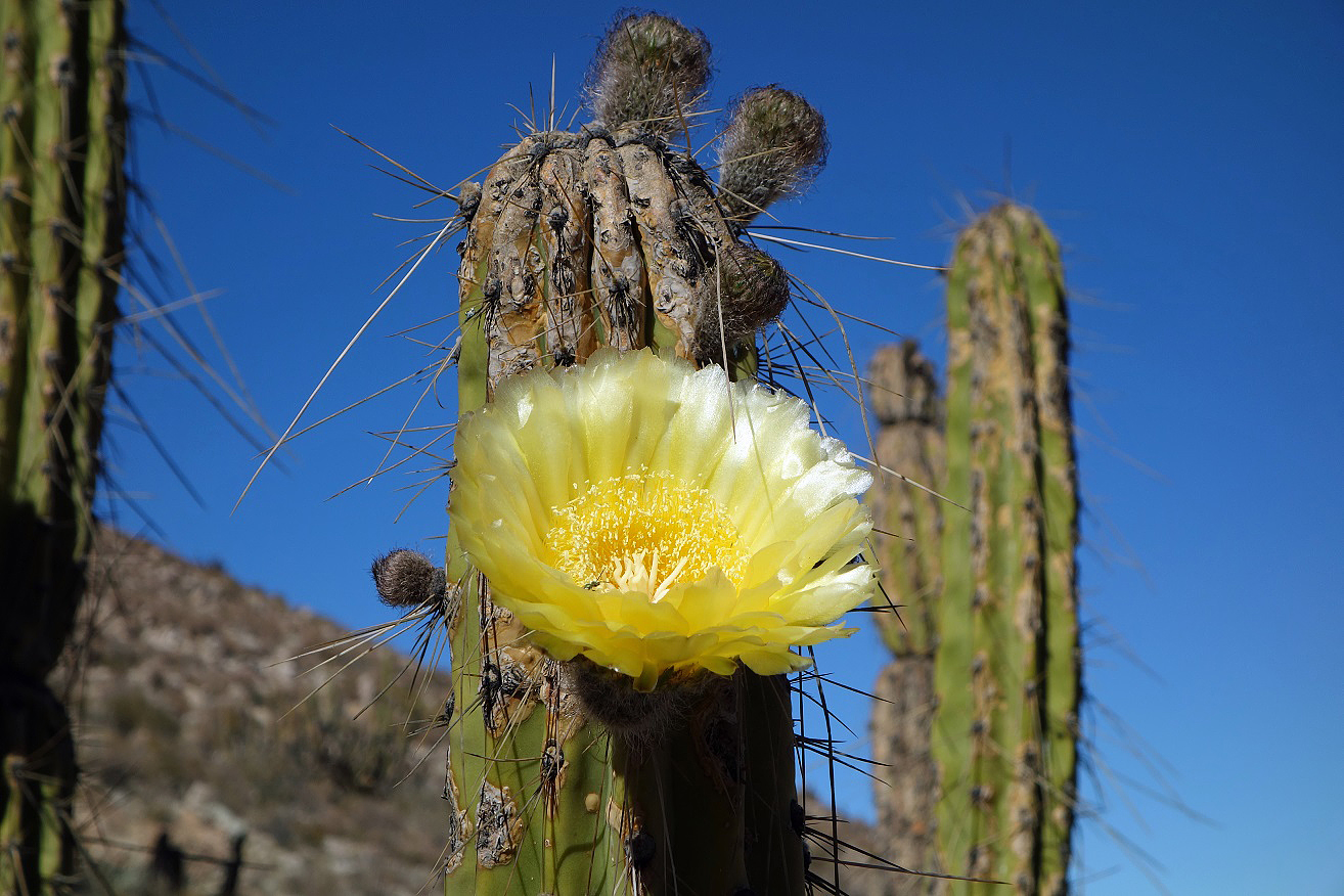
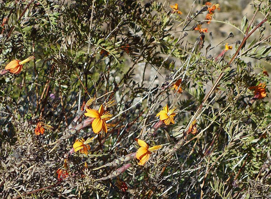
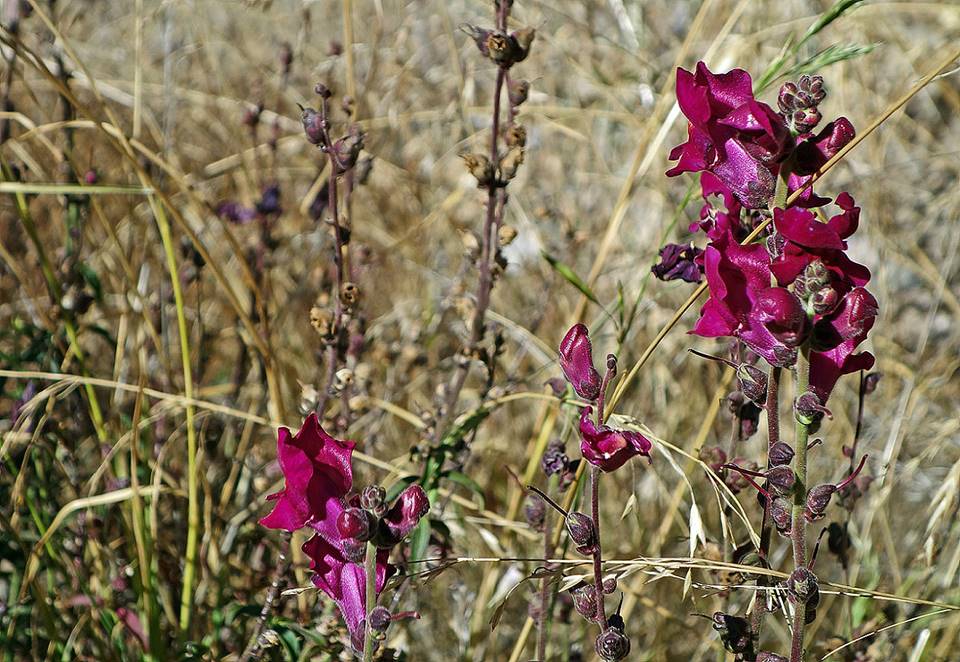
Some flowers of the Precordillera.
|
|
|
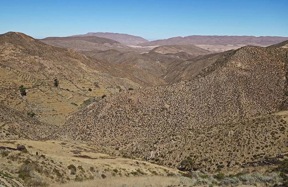
Typical landscape of the Precordillera near Pachama and Belen.
|
|
|
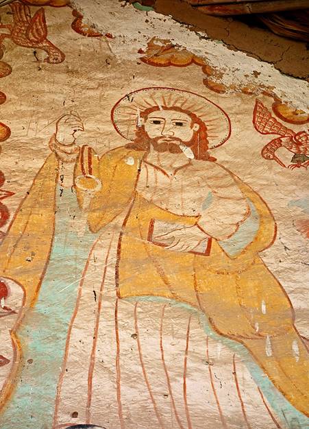
Iglesia de San Andres Apostol in Pachama.
|
|
|
|
|
|
|
|
|
|
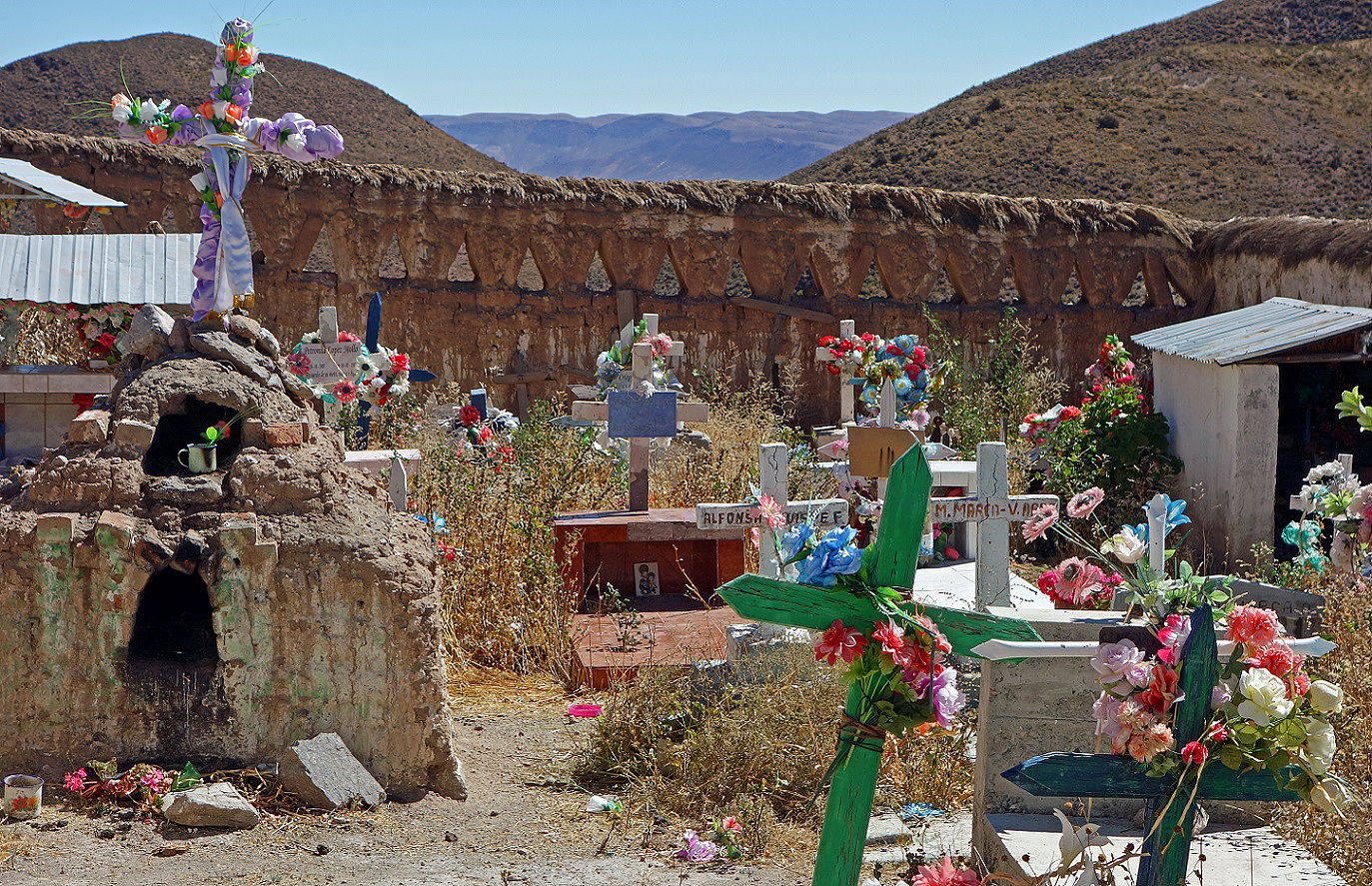
Colorful cemetery of Pachama.
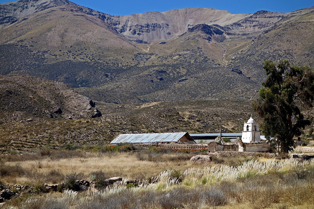
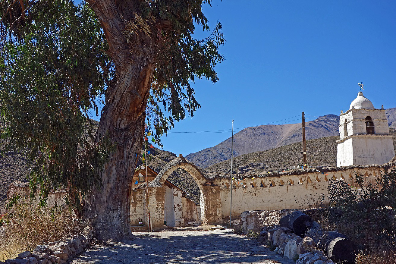
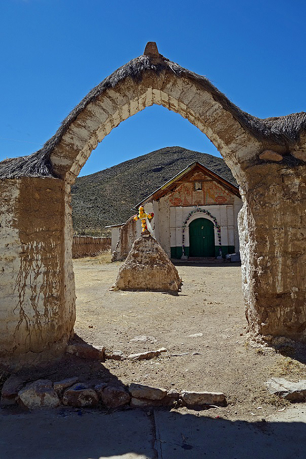
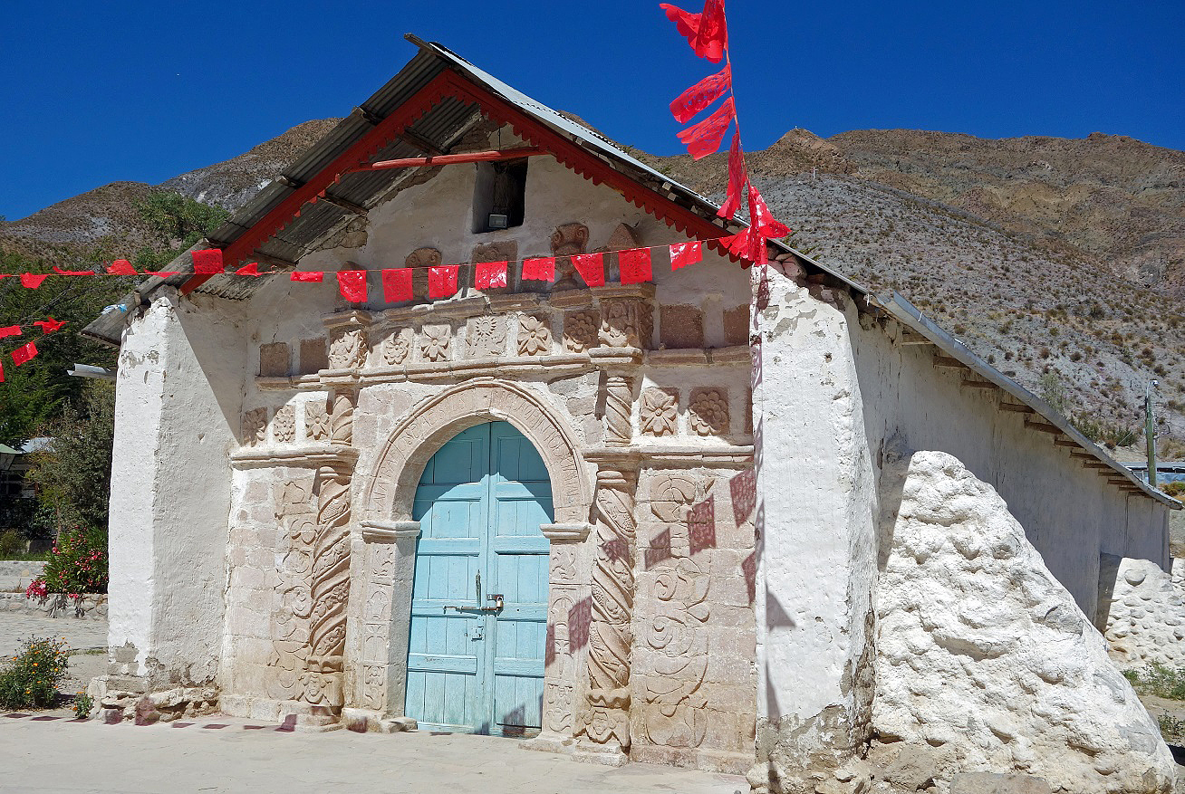
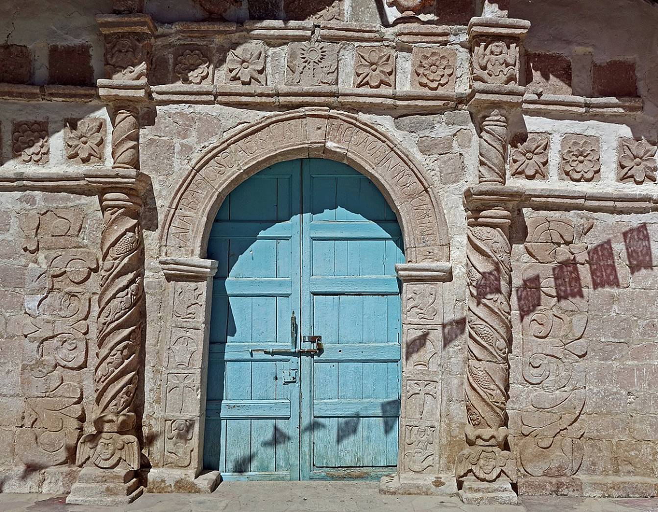
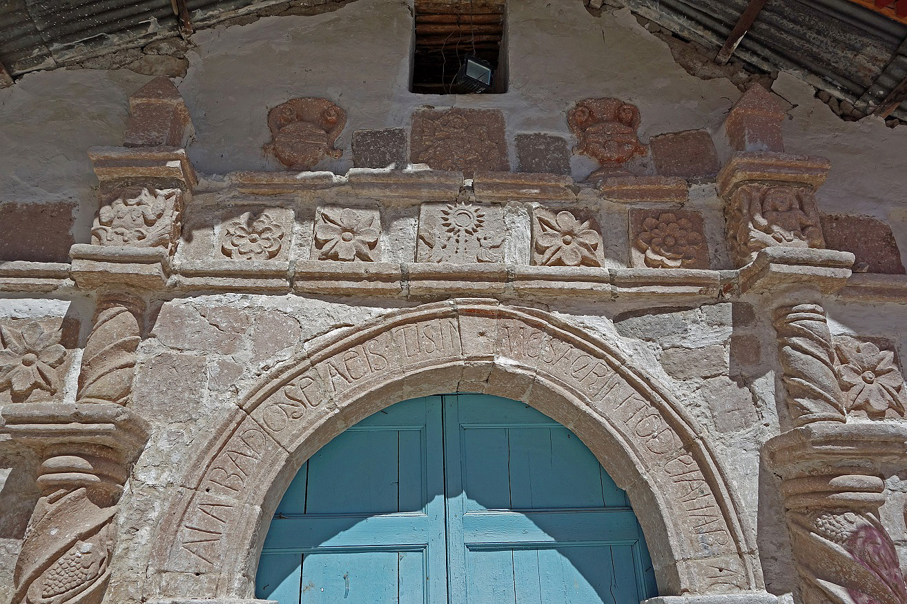
Iglesia de Santiago in Belen, originally constructed during the 16th century, reconstructed in the early 18th century. The portal is exceptional with two spiral columns with plant and animal decoration and ornamental carvings representing Spanish royal emblems (lion, sword, and crown) and sirens with raised arms.
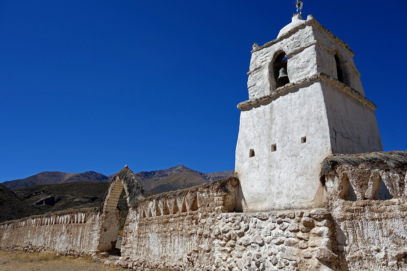
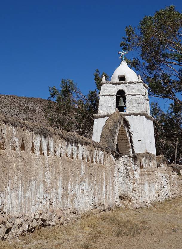
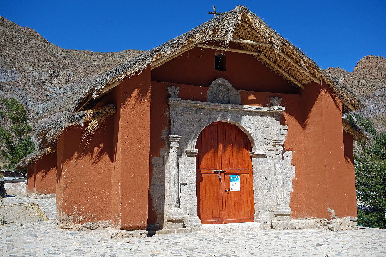
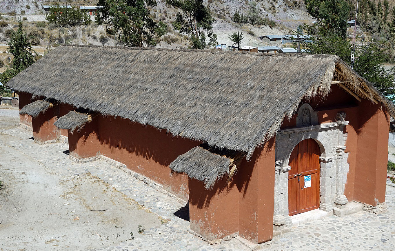
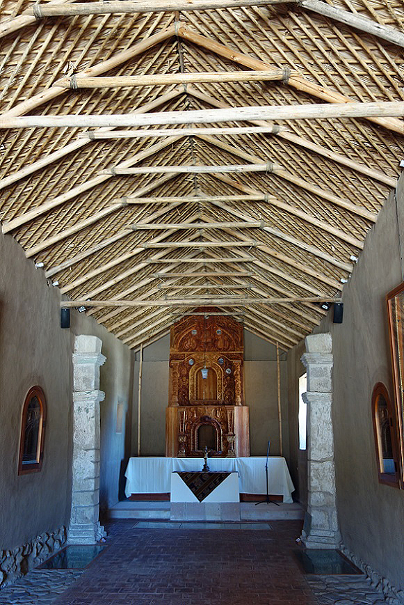
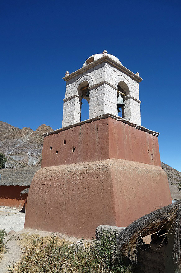
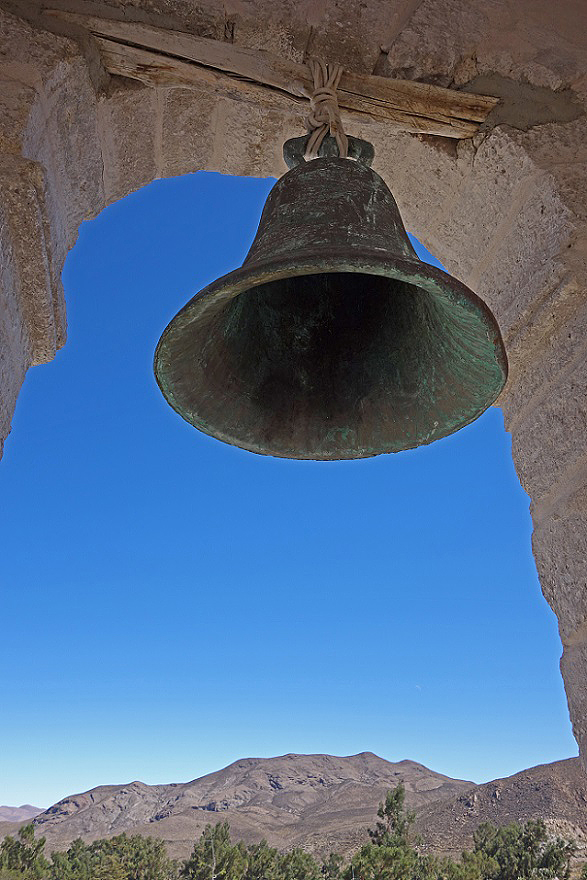
Iglesia de la Virgen de la Candelaria in Belen and its bell tower, constructed during the second half of the 18th century, restored between 2010 and 2012.
|
|
|
|
|
|
![]()