Chile (July-August 2015): Putre and around
![]()
Return to main Chile 2015 webpage
|
Map of the Arica y Parinacota Region: |
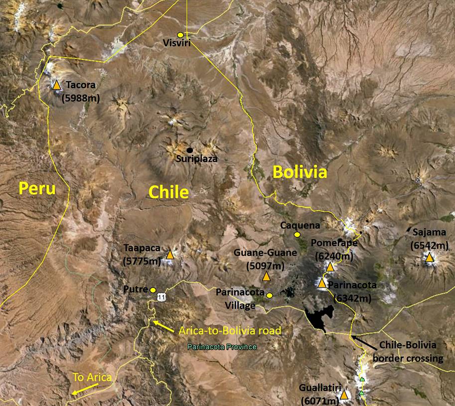
Satellite view of the region around Putre: |
|
|
|
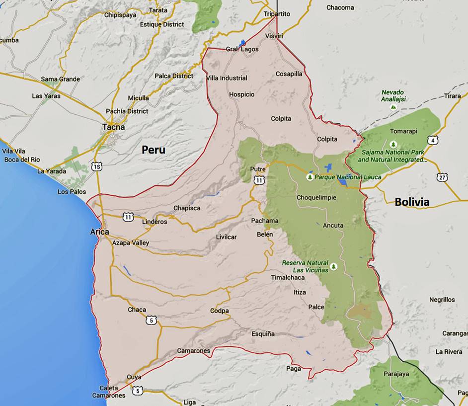
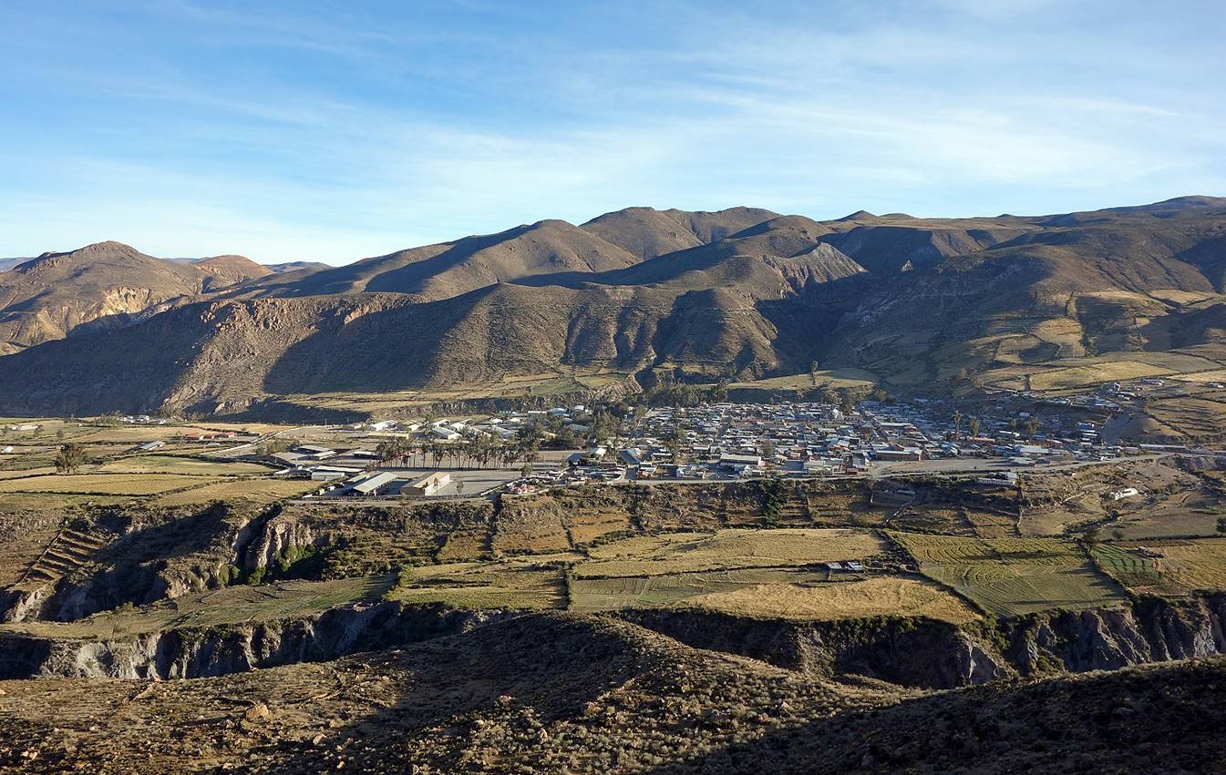
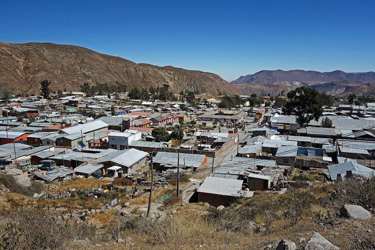
Putre is the largest village between Arica and the border with Bolivia, and the capital of the Parinacota Province that forms about half of the Arica y Parinacota Region of Chile. It lies on a small plateau at an elevation of 3500m, a few kilometers north of the Arica-to-Bolivia road and is dominated on its northern side by Cerro Taapaca (5775m), also called Nevado de Putre. Most of its inhabitants are Aymara people. The name ″Putre″ is a deformation of the Aymara word ″Puxturi″ that means ″murmur of water″.
I spent 18 days in the Parinacota Province and literally used the Terrace Lodge in Putre as my basecamp. The lodge is very comfortable and its owners, Flavio and Patrizia, are wonderful hosts. Moreover, Flavio, who is a terrific source of information about the region, arranged most of the transportation and pick-ups I needed. I did a few acclimatization hikes around Putre, before visiting more remote parts of the province.
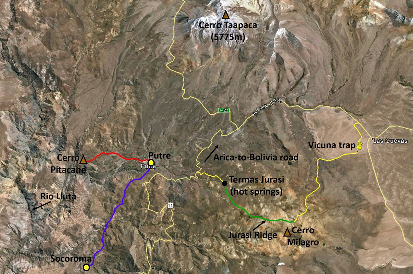
Hikes around Putre:
- Path in red: hike to Cerro Pitacane (~10.5km roundtrip).
- Path in Blue: hike from Socoroma to Putre (~12km).
- Path in green: hike from Cerro Milagro to Termas Jurasi (~7km).
- Yellow lines: paved and dust roads.
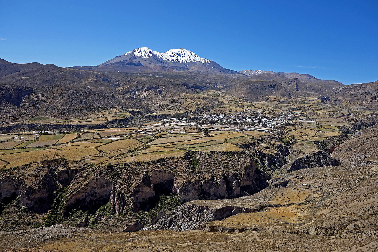
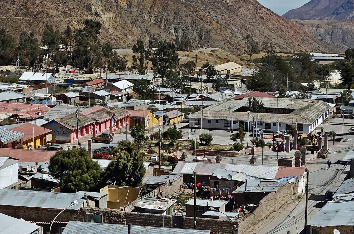
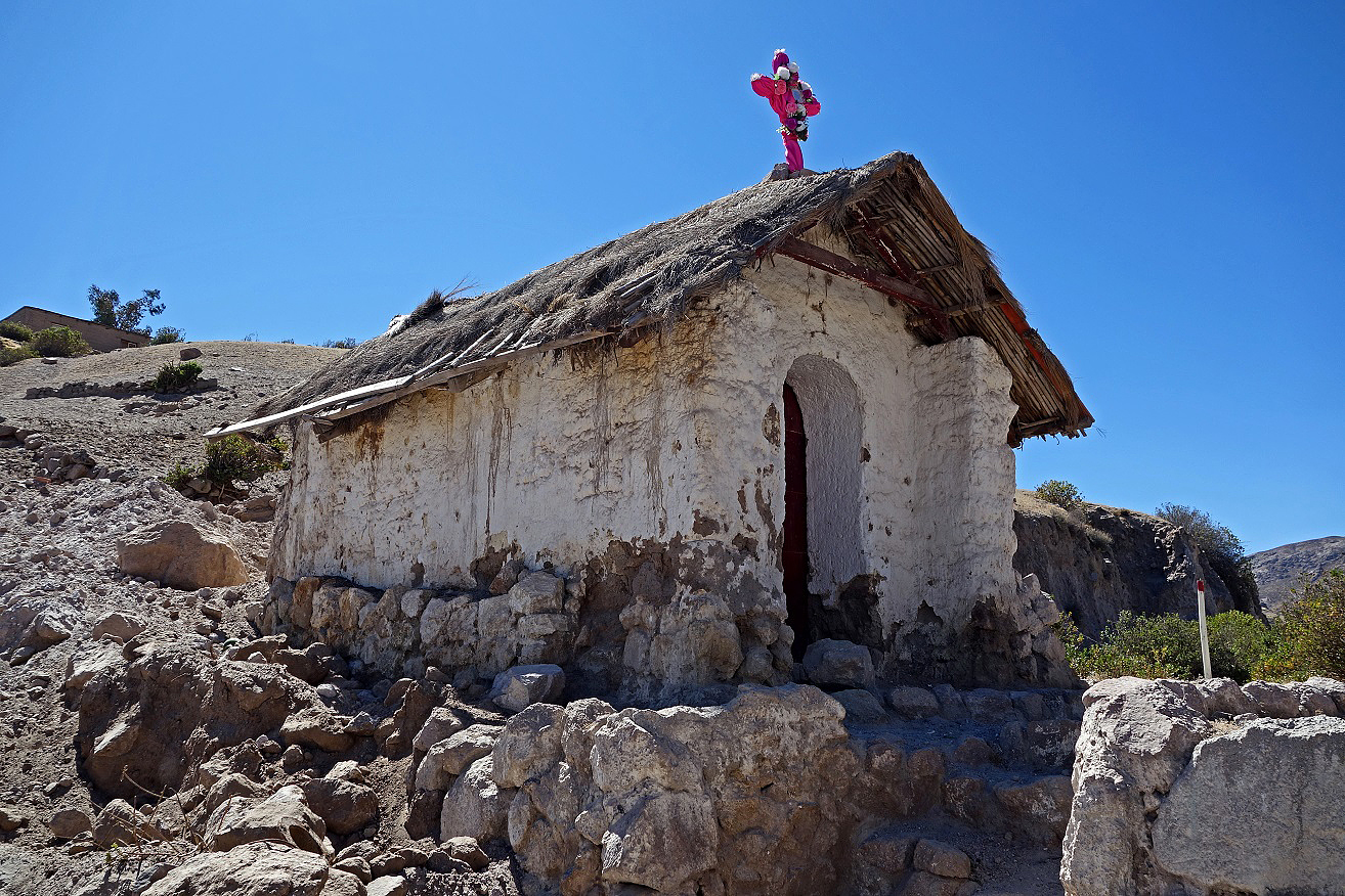
Village of Putre:
Three views over Putre, respectively from the south-west, the south (from the Arica-to-Bolivia road), and the east. Cerro Taapaca is visible in the first photo.
Central plaza.
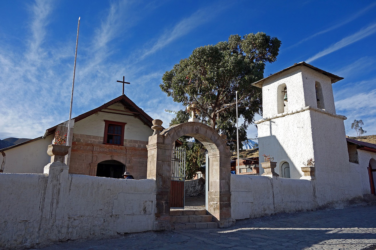
Small chapel at the entrance of the village.
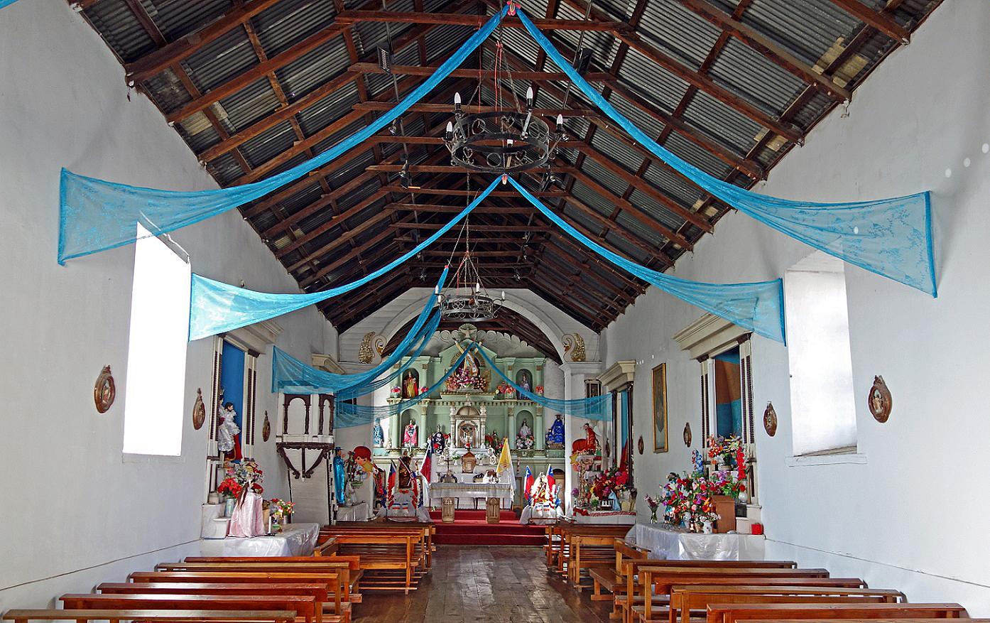
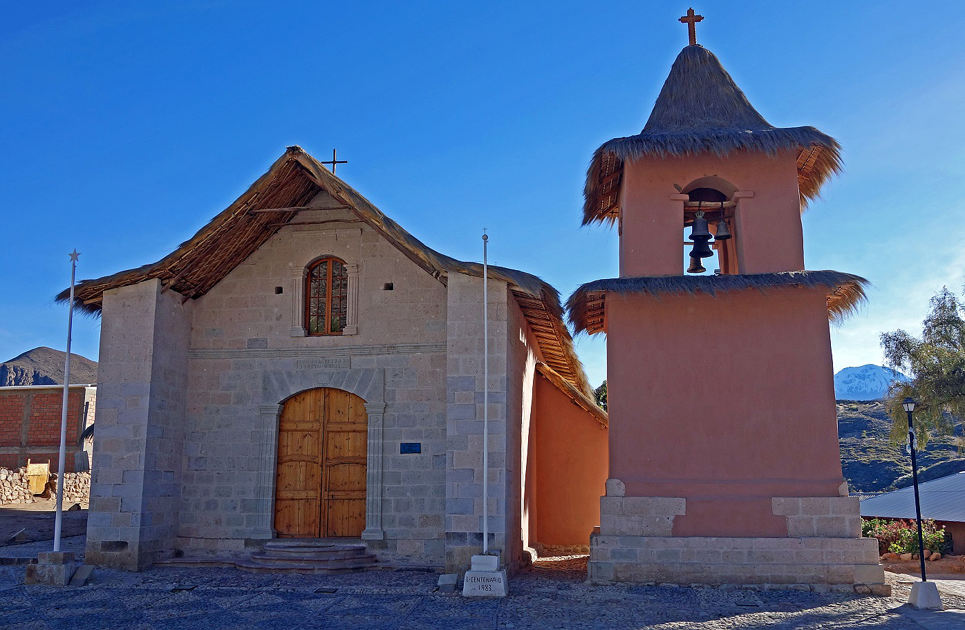
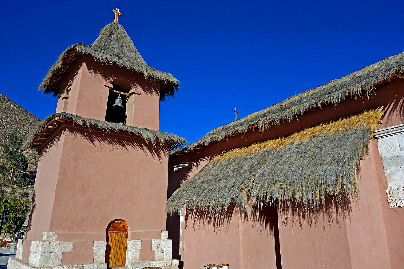
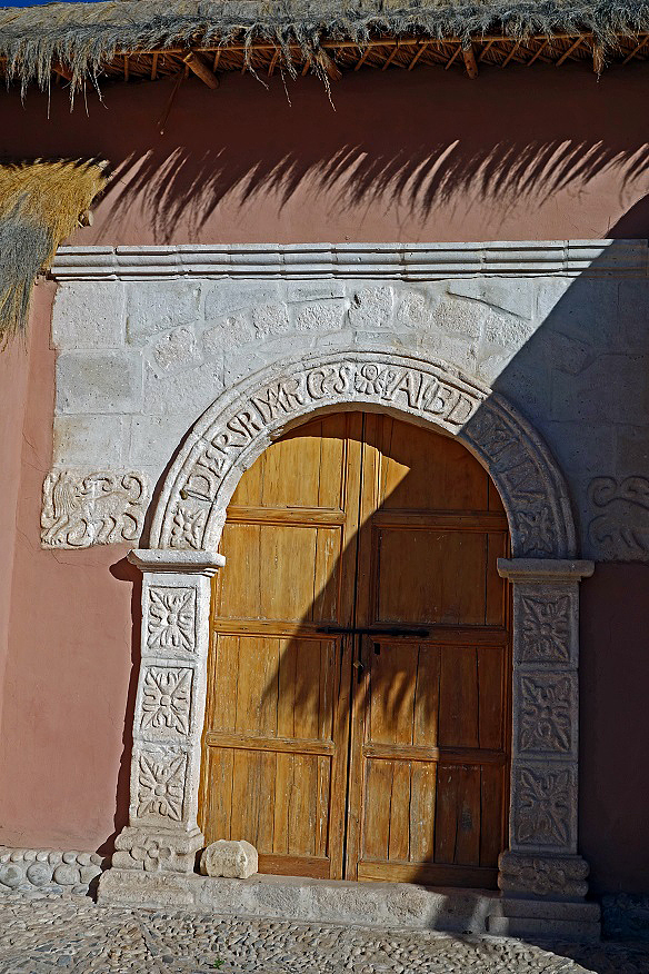
Church Virgen Asuncion of Putre was originally constructed in the 17th century and reconstructed after the earthquake of 1868.
Hike to Cerro Pitacane:
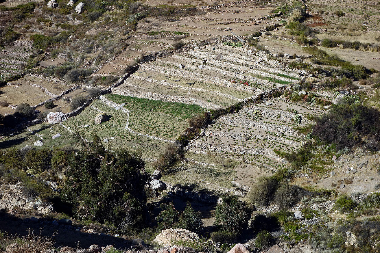
Terrace fields below Putre.
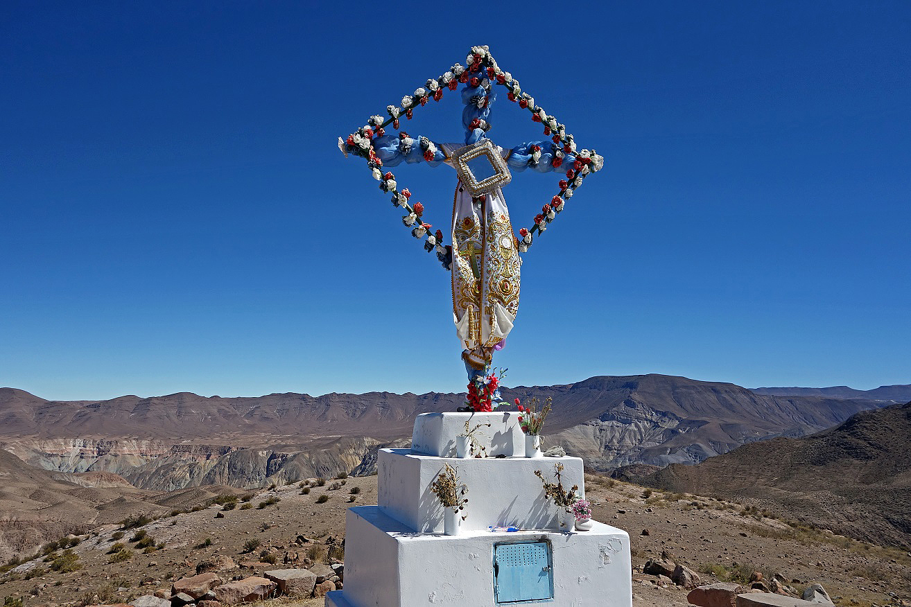
Summit cross.
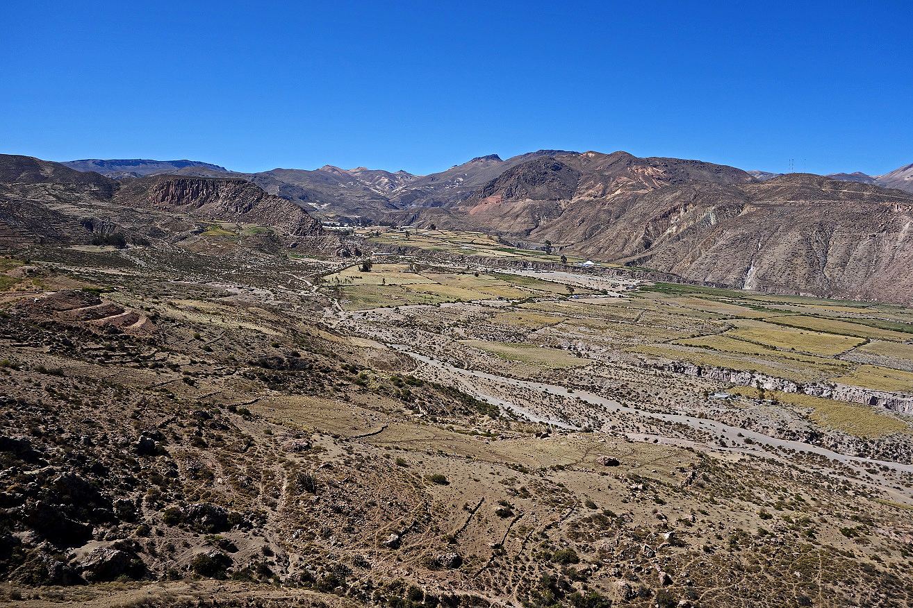
Lluta valley seen from the summit (view toward the south-west).
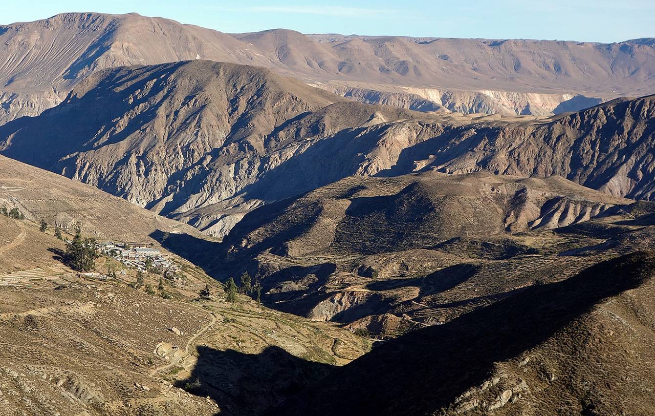
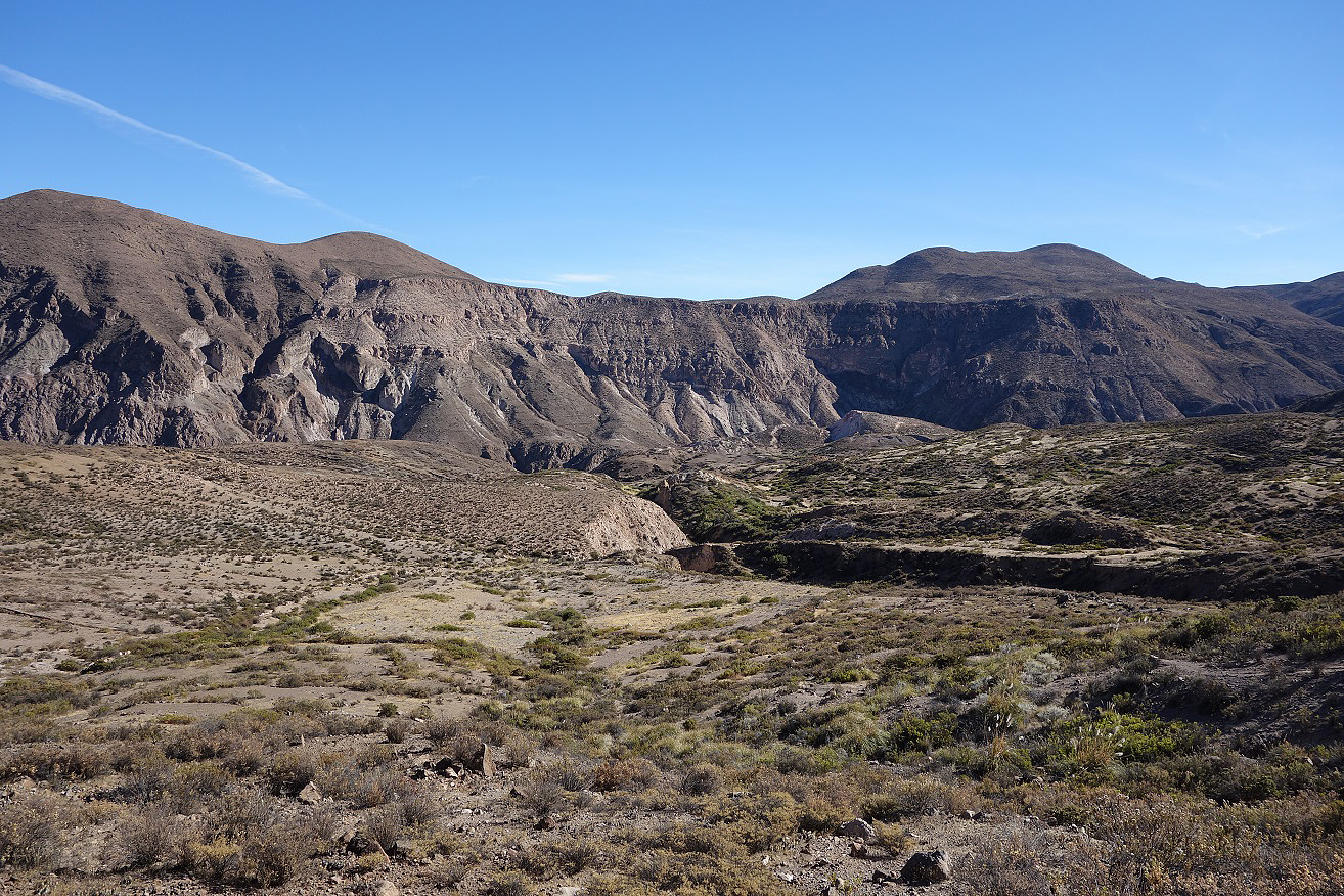
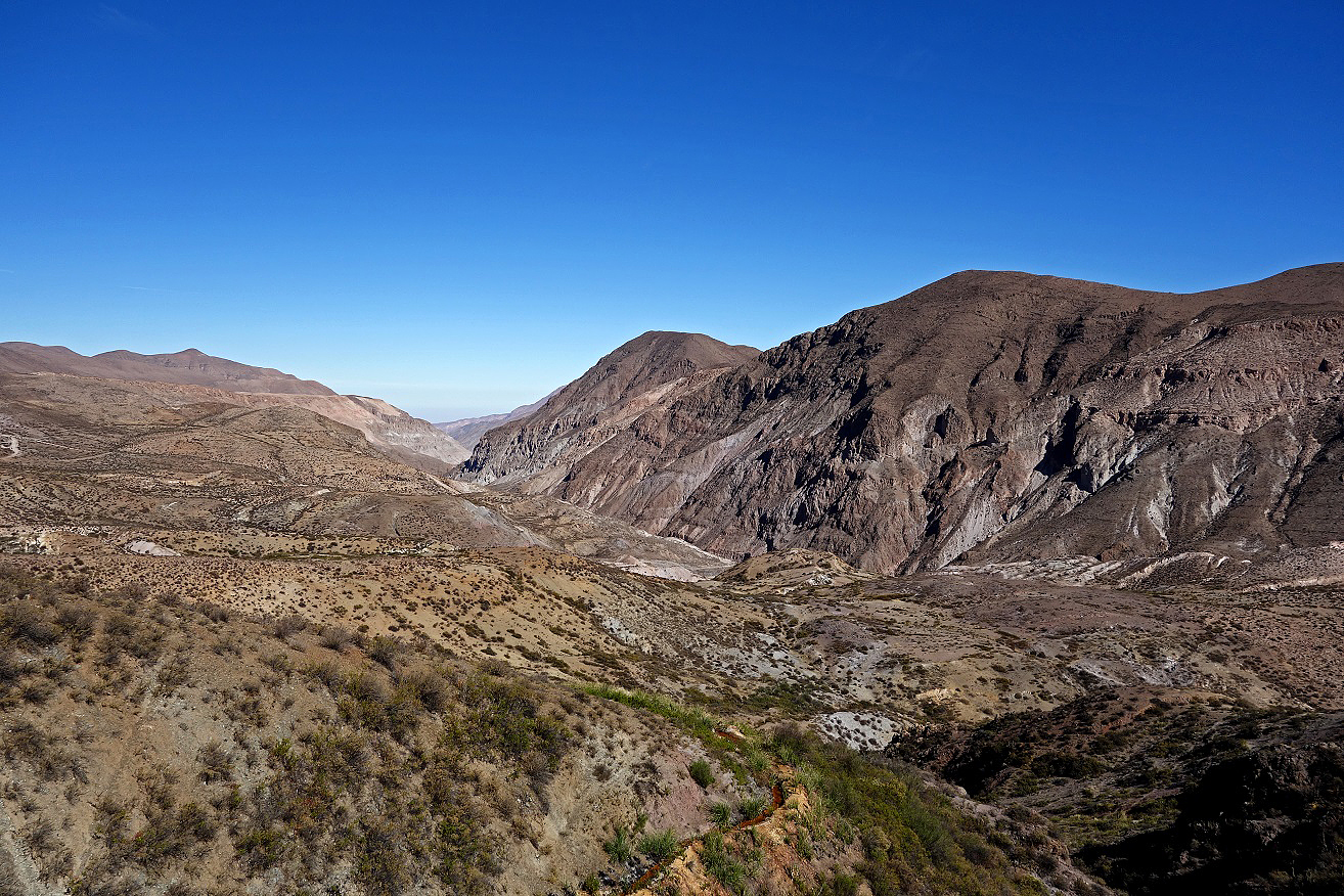
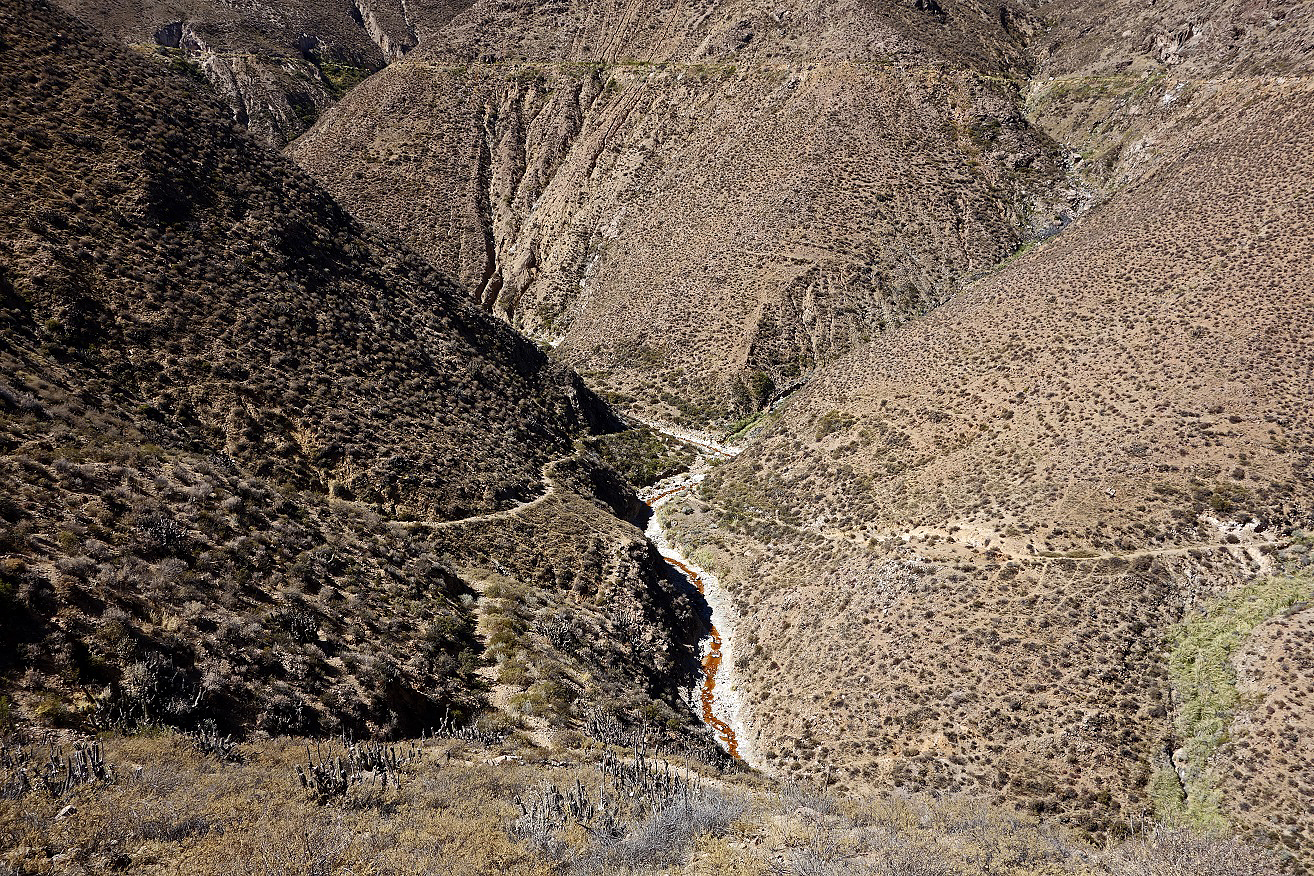
Hike from Socoroma to Putre:
This hike follows rather closely an ancient Tiwanaku/Inca path, but very little of it is visible.
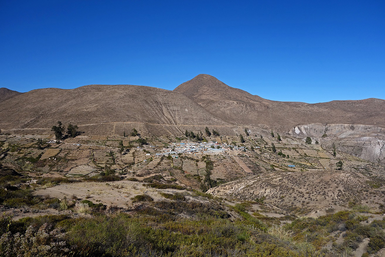
View of Socoroma village from the Arica-to-Bolivia road.
Church San Francisco de Asis in Socoroma, originally constructed in the 17th century, reconstructed in the 19th century, renovated in 2012.
|
|
|
Oregano terrace fields below Socoroma. Oregano is a very popular food ingredient in northern Chile and the one from Socoroma is famous for its intense flavor.
Looking back toward Socoroma from the trail.
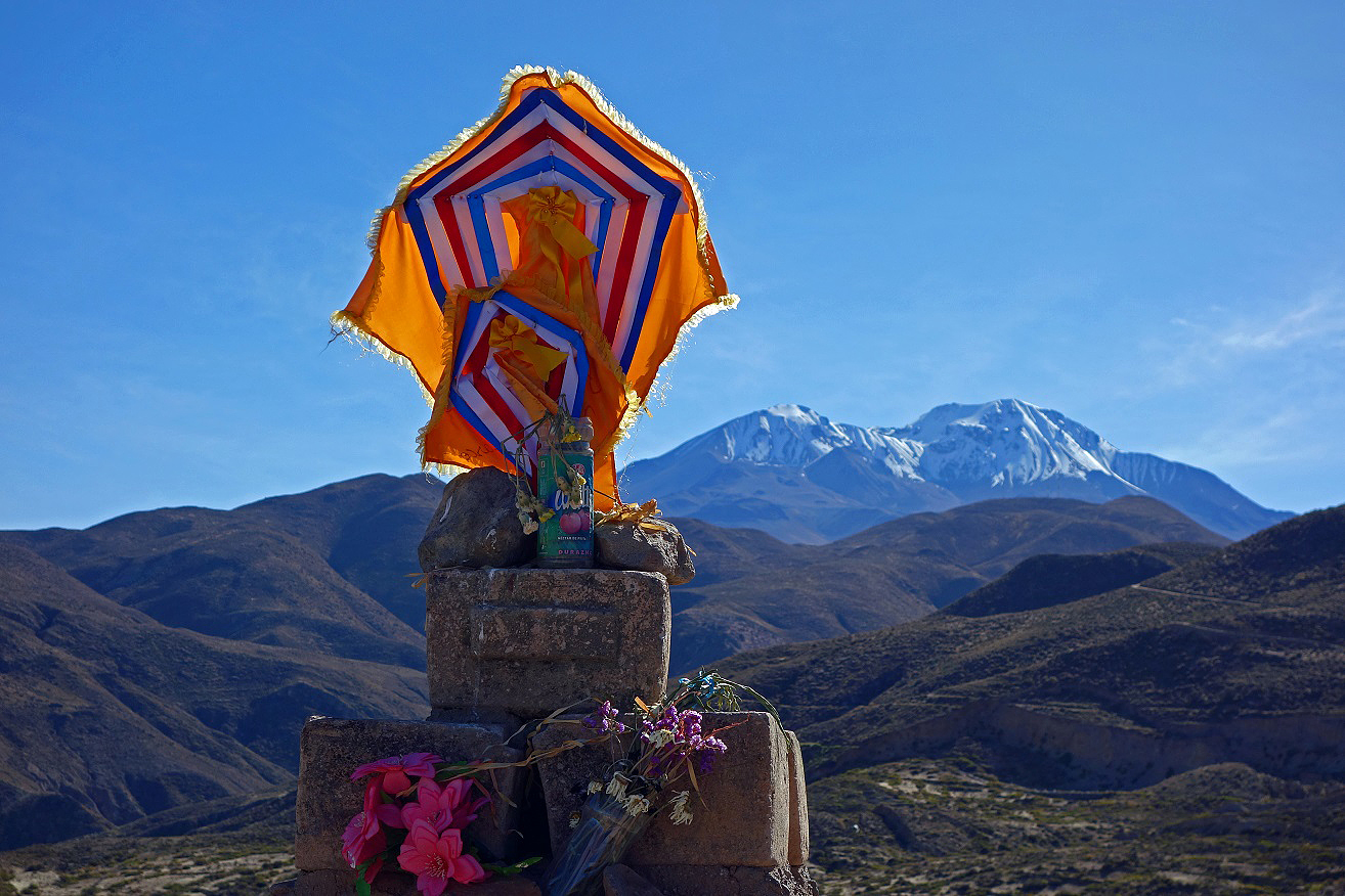
Decorated cross at a small pass along the way, with Cerro Taapaca in the background.
Successive landscapes during the hike.
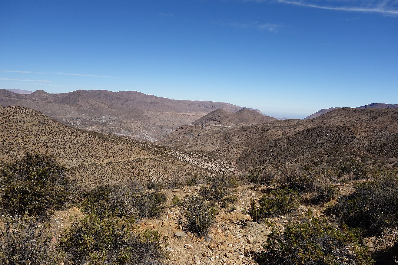
View over Putre at the end of the hike.
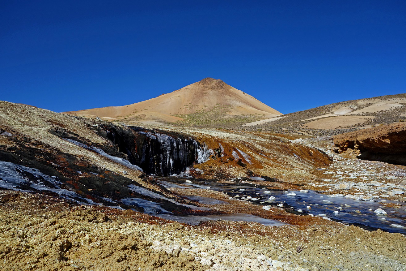
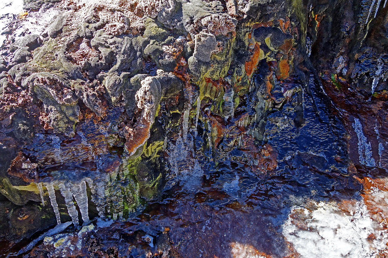
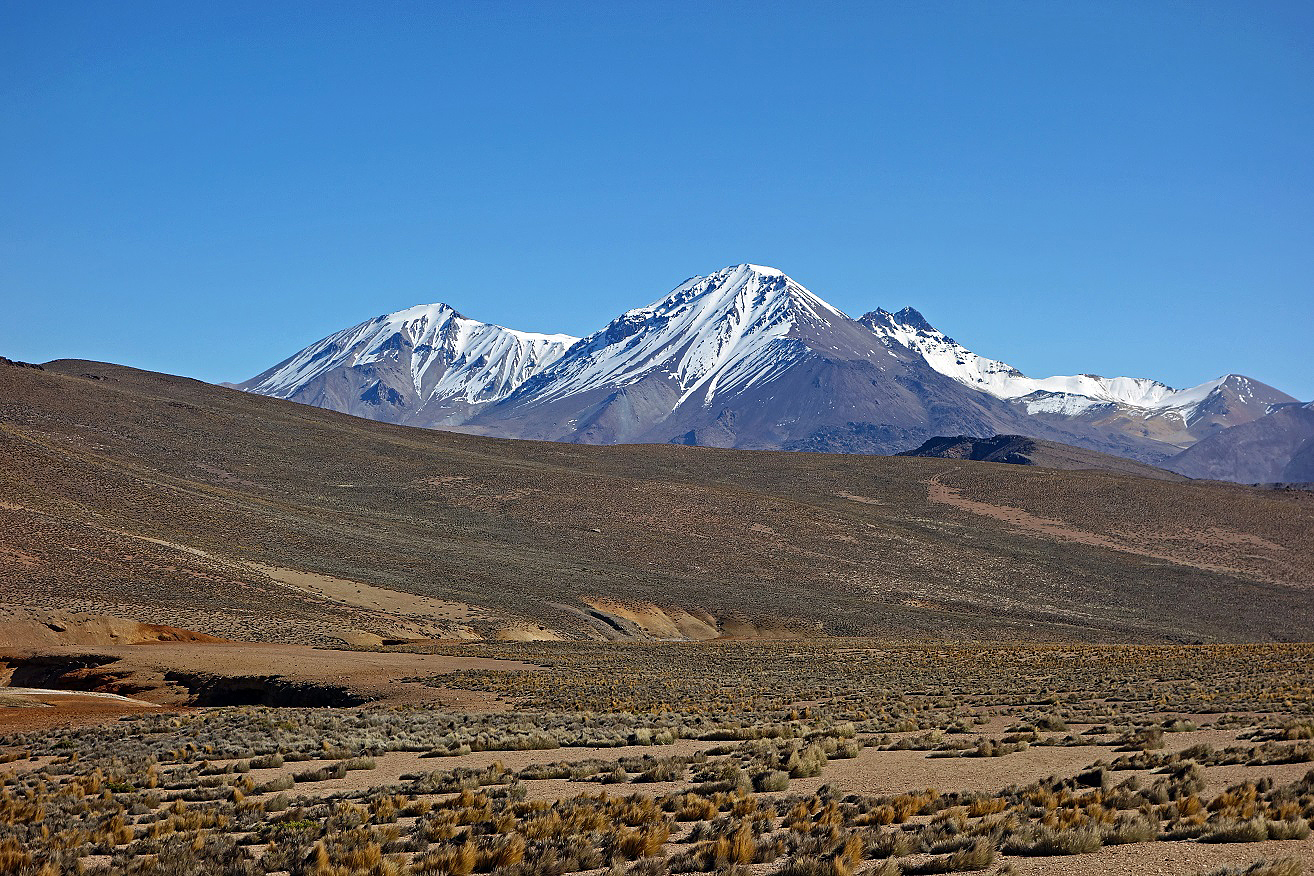
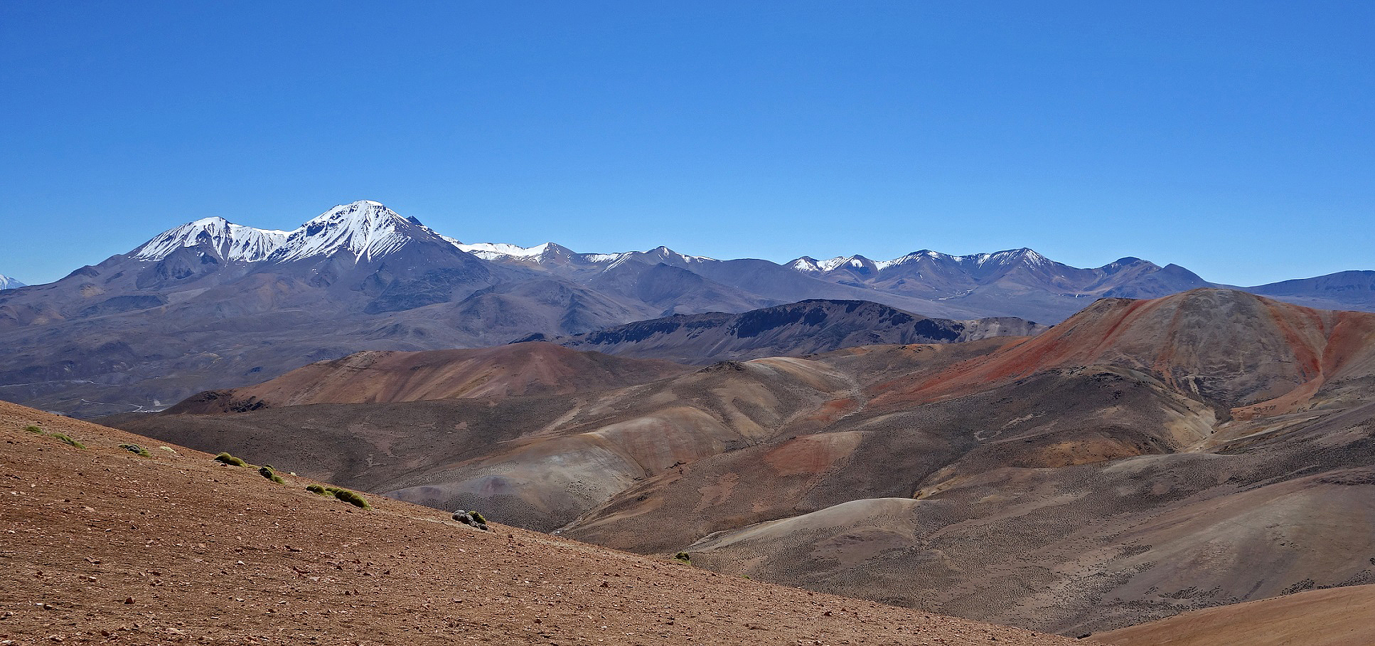
Hike along Jurasi ridge from Cerro Milagro down to Termas Jurasi (hot springs):
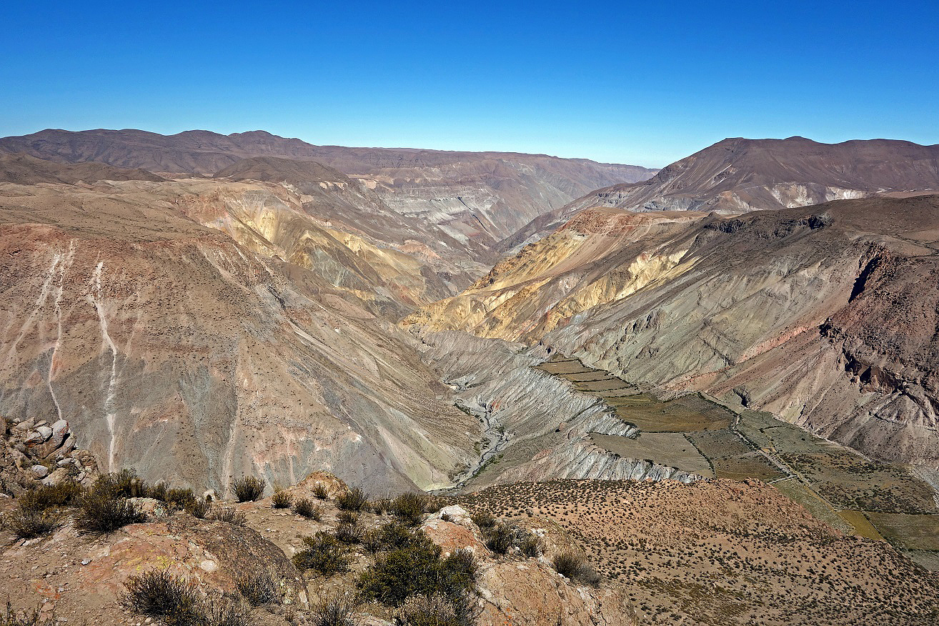
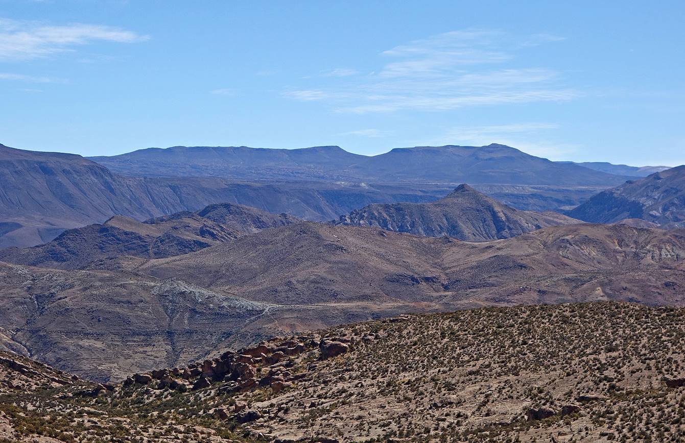
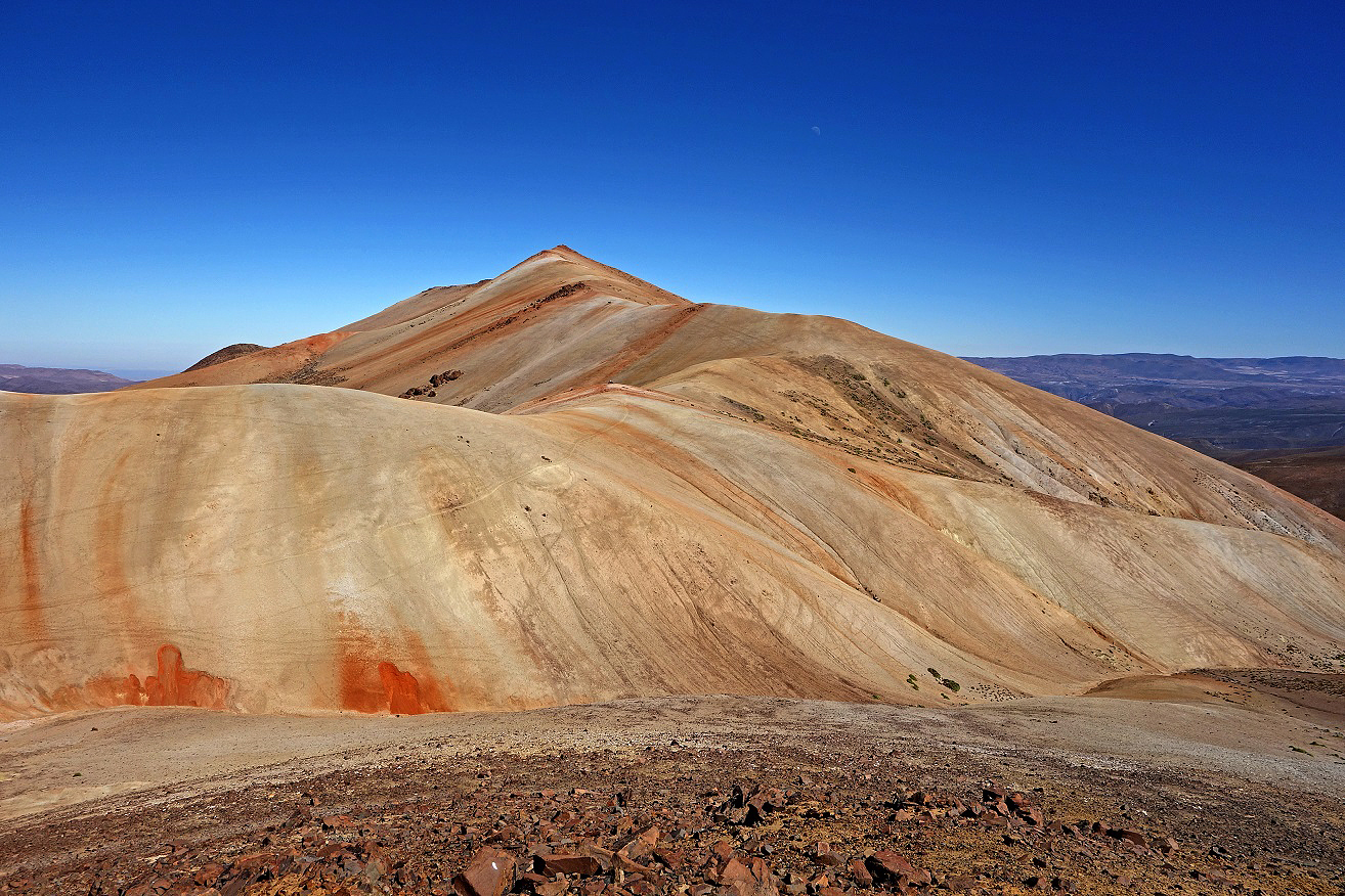
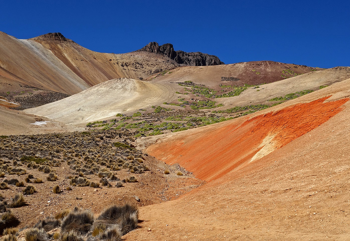
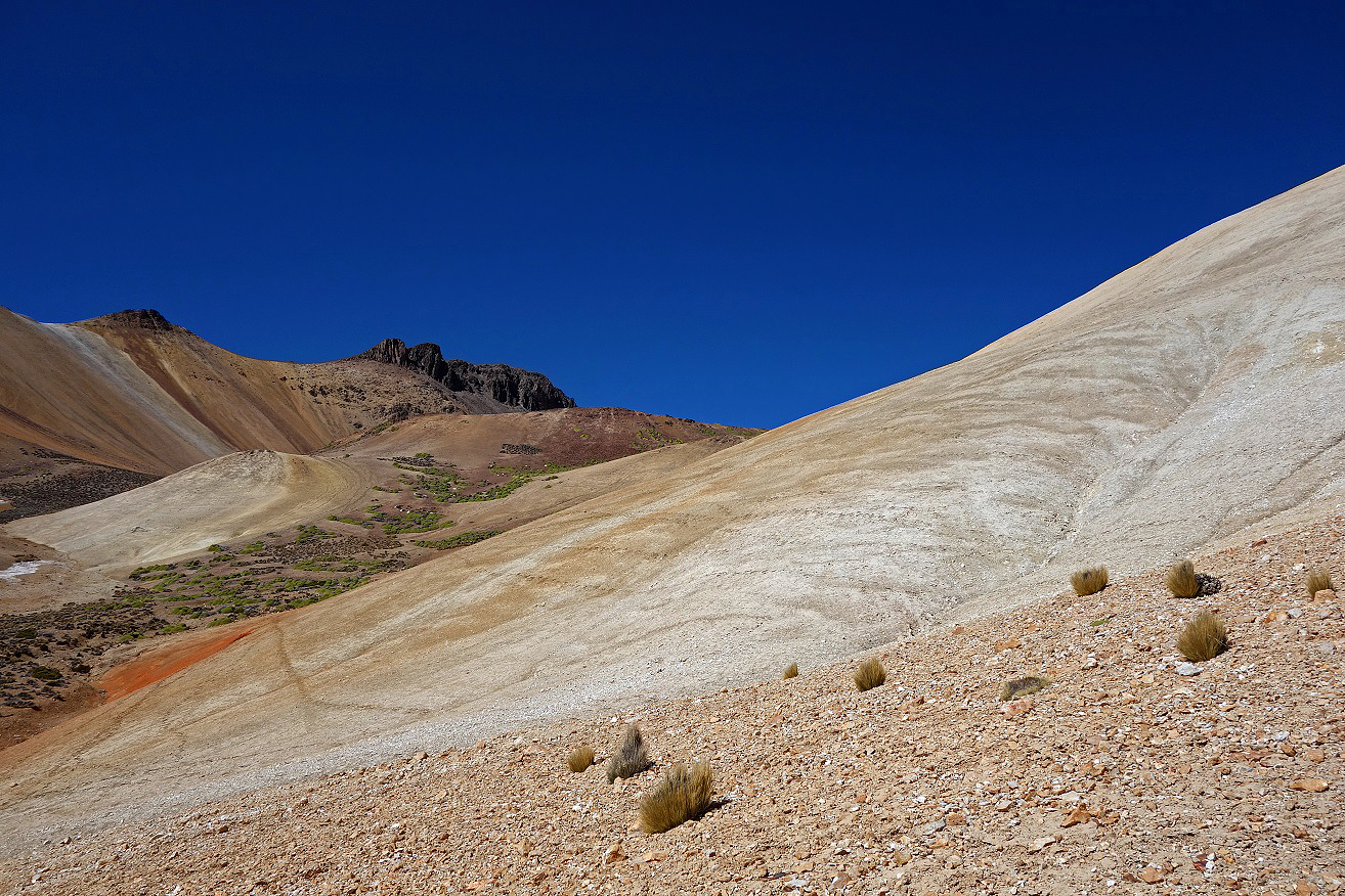
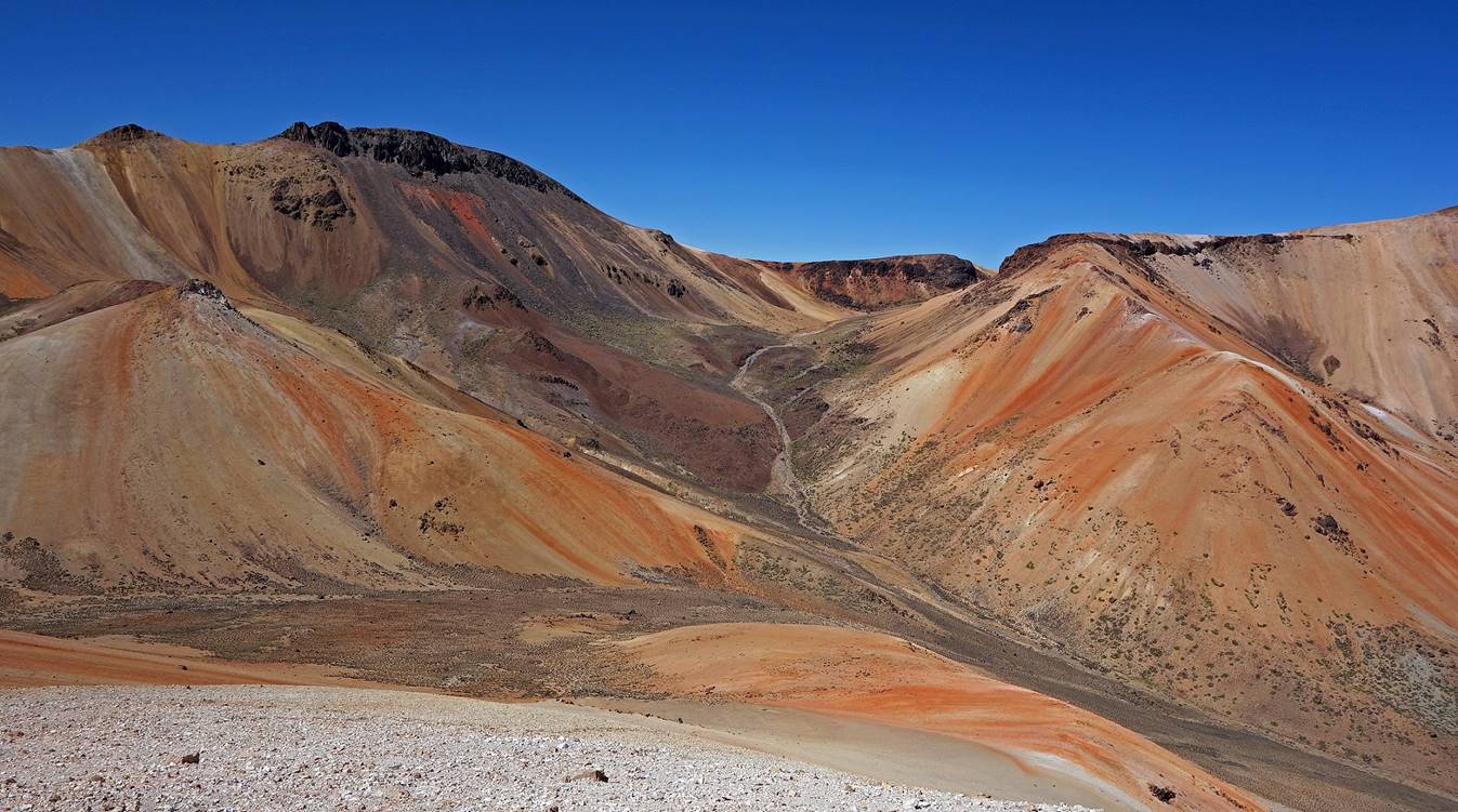
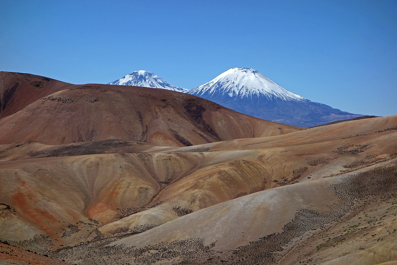
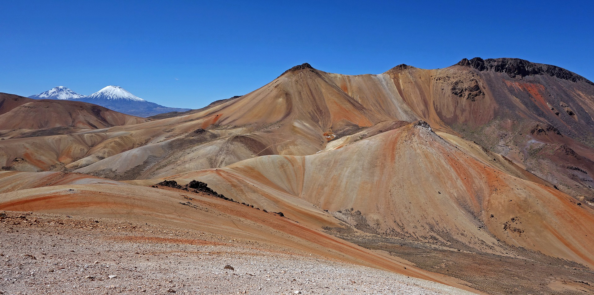
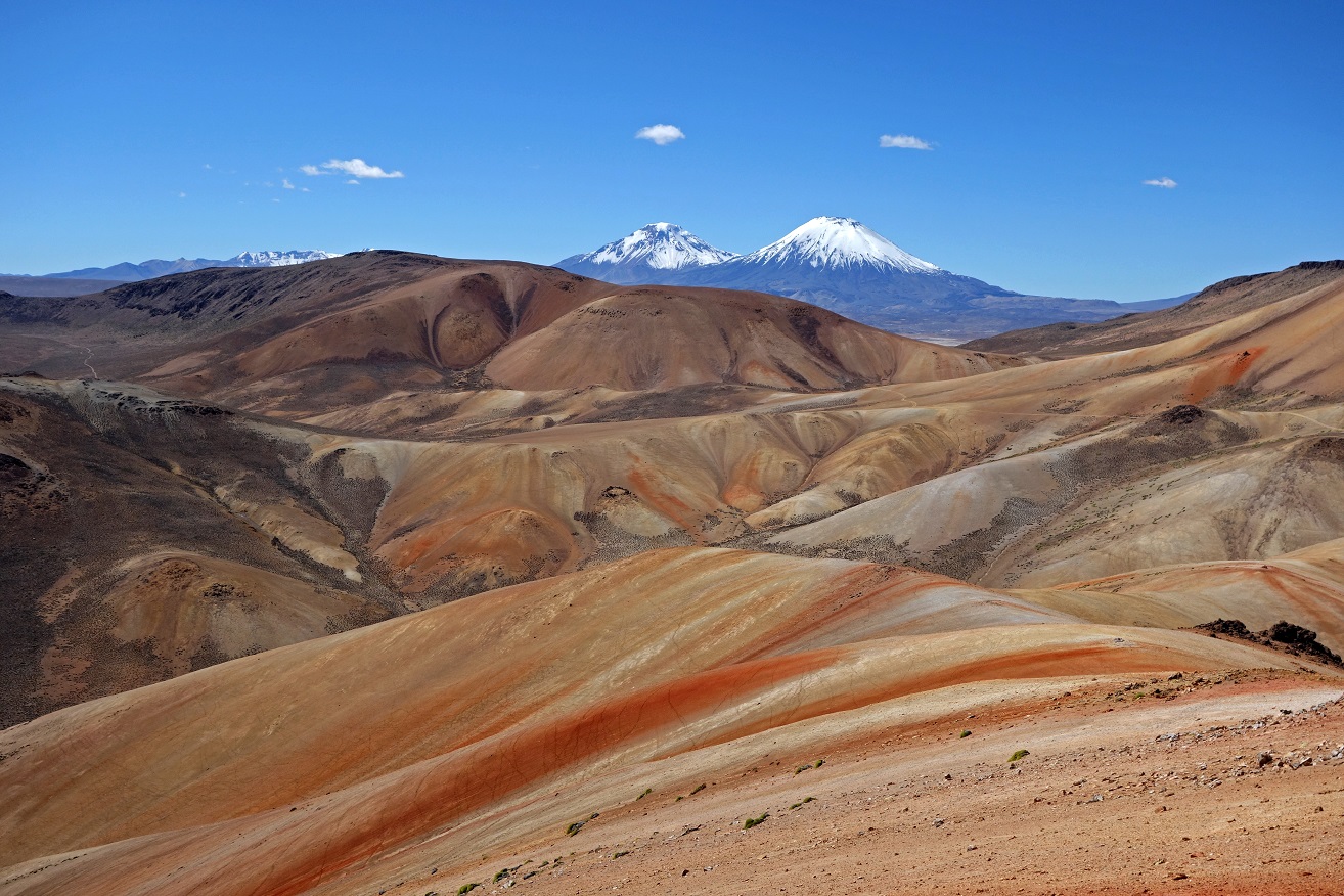
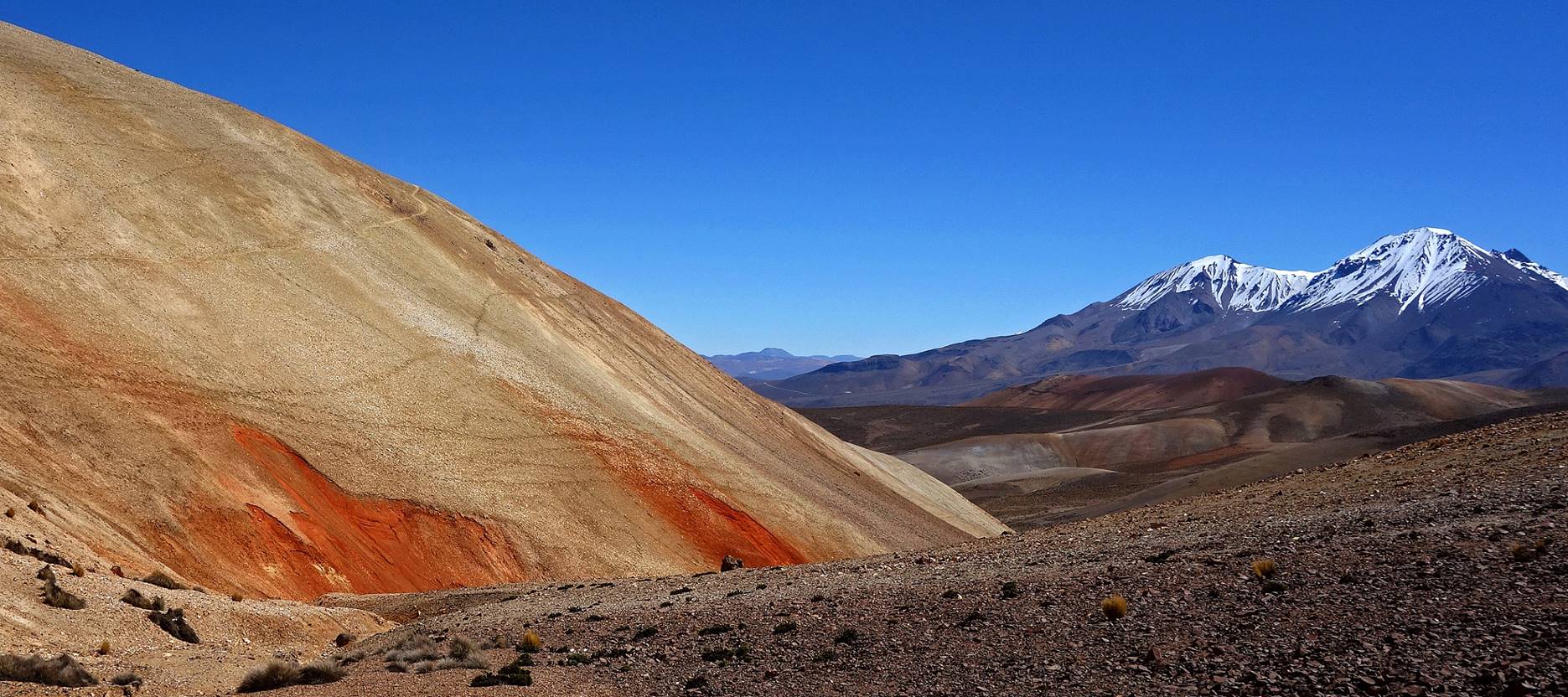
Unlike the previous two hikes that lie in the Precordillera, most of this hike lies above 4000m and is part of the High Andes. The landscape is completely different with views over incredibly colorful hills and mountains, within a few kilometers from Putre.
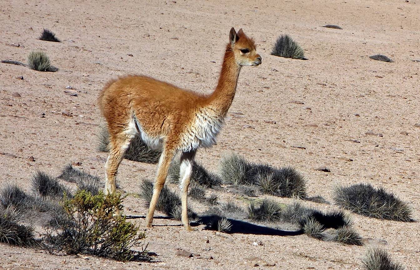
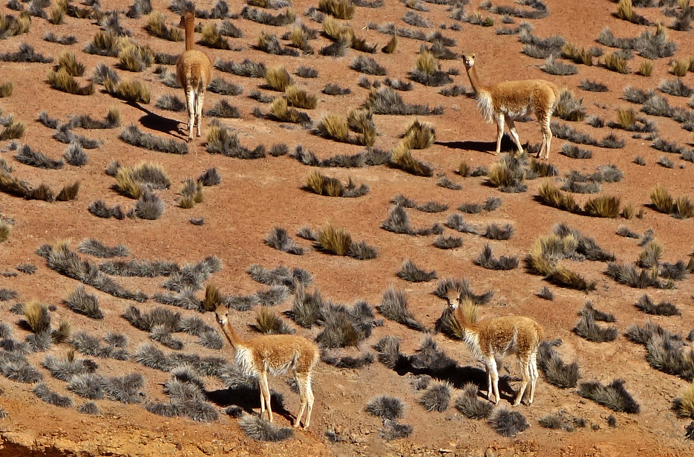
Vicunas along the dust road toward Cerro Milagro. Vicunas are one of the four types of camelids living in the Andes, the others being the alpacas, the llamas, and the guanacos. Only vicunas and guanacos are wild, with vicunas living at higher elevations. Of all the camelids, vicunas produce the finest wool, but in very small amount.
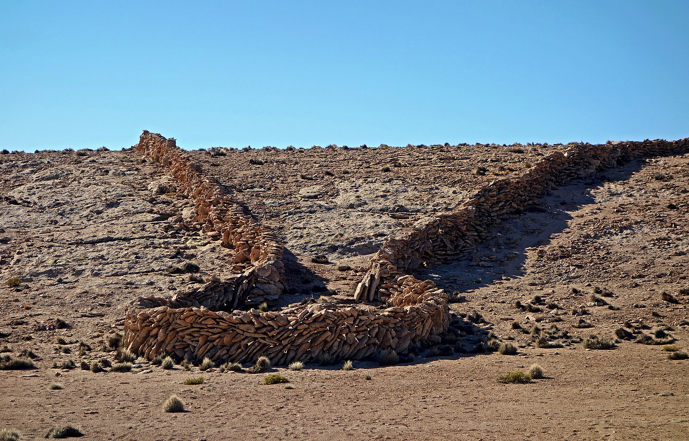
Ancient (reconstructed) vicuna trap used by locals to capture vicunas (see location in the map at the top of this page). The funnel-shaped trap lies behind a hill. The vicunas were pushed toward the trap from the other side of the hill. They could not see the stone walls until it was too late for them to escape. Once trapped the vicunas can be sheared to collect their fine wool and then released.
Colorful landscapes toward Cerro Milagro.
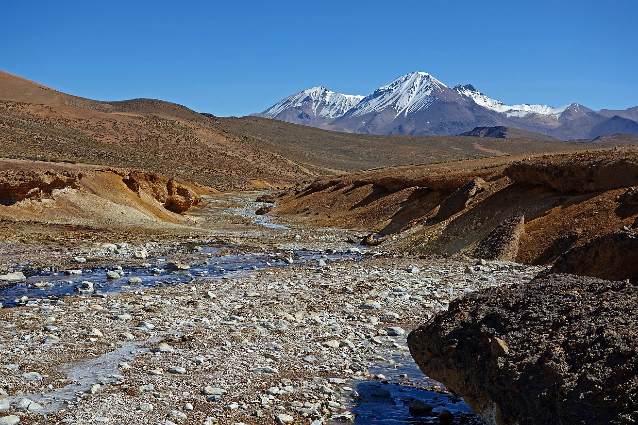
Jurasi ridge.
Successive views from Jurasi ridge.

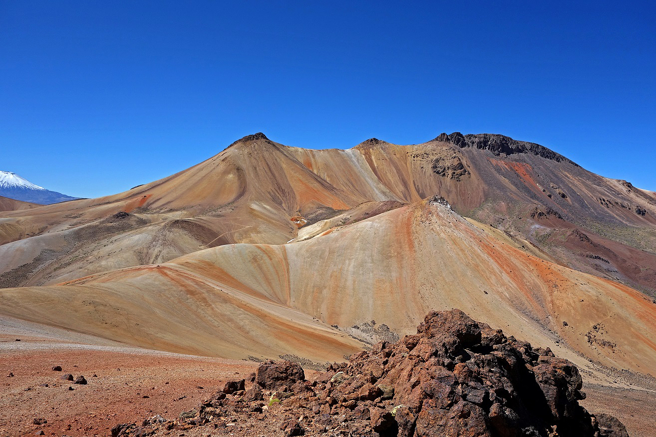
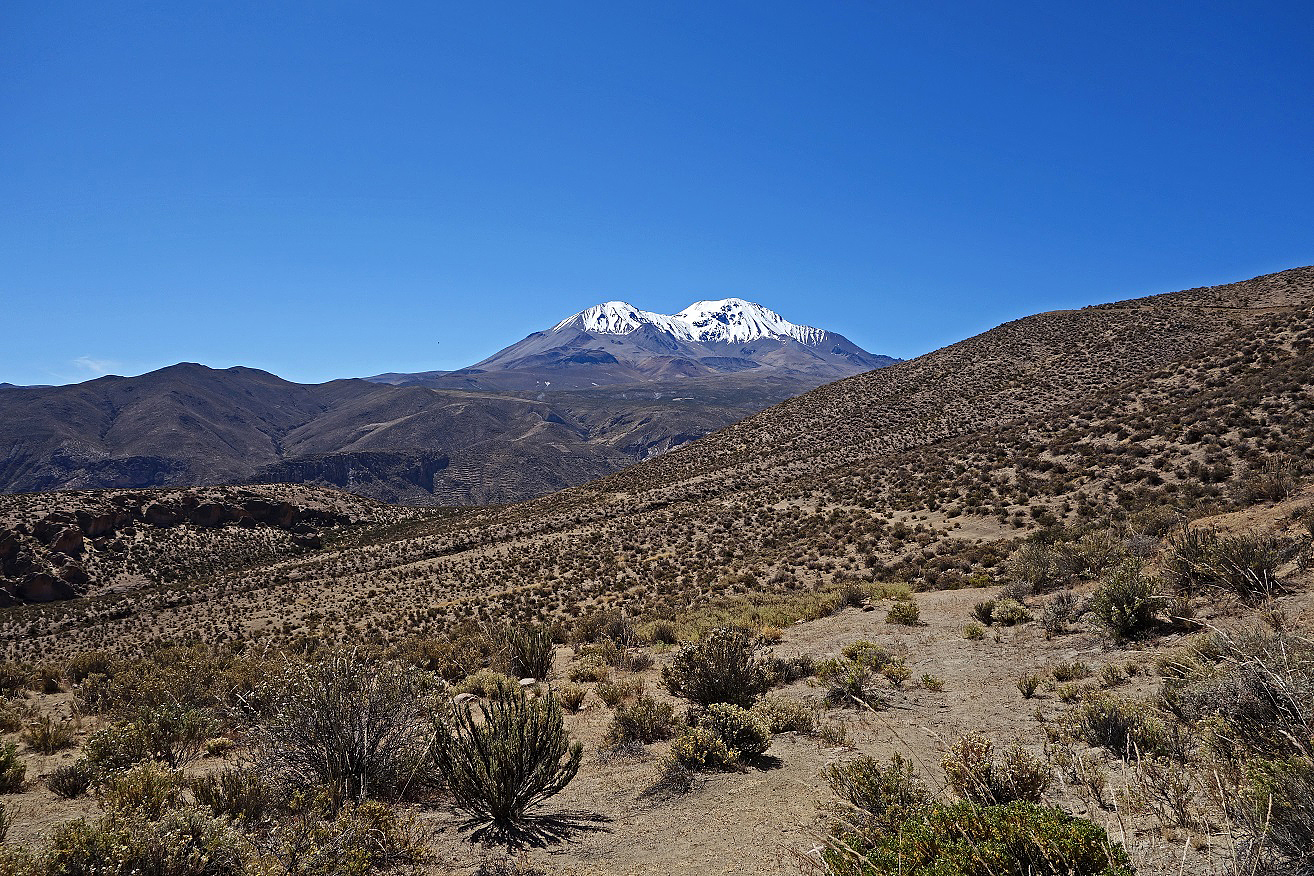
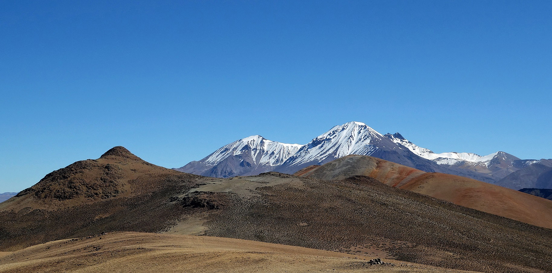
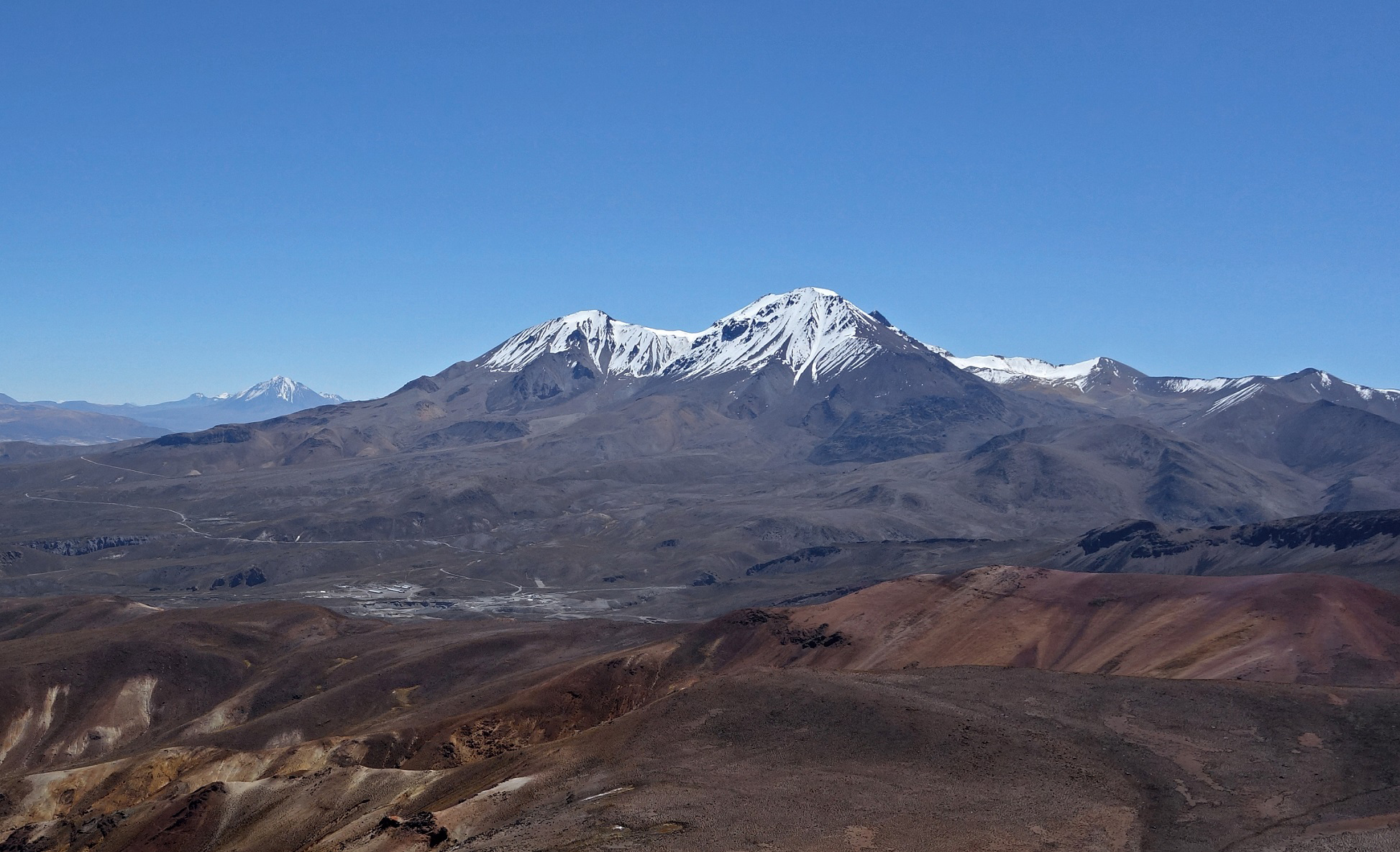
Other views with Volcans Parinacota (6342m) and Pomerape (6240m) in the background. Both volvanos lie on the border between Chile and Bolivia.
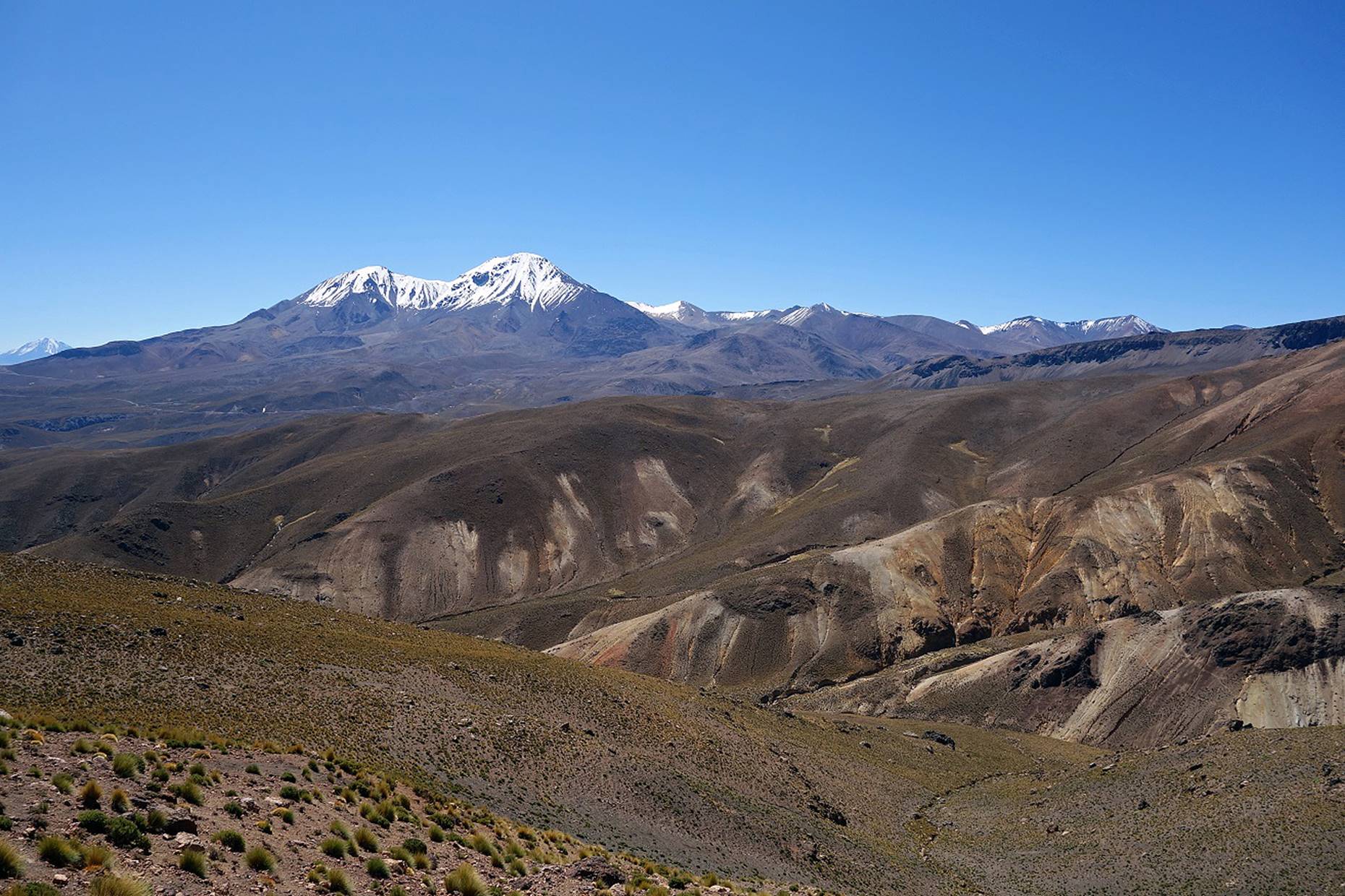
Successive views with Cerro Taapaca in the background.
|
|
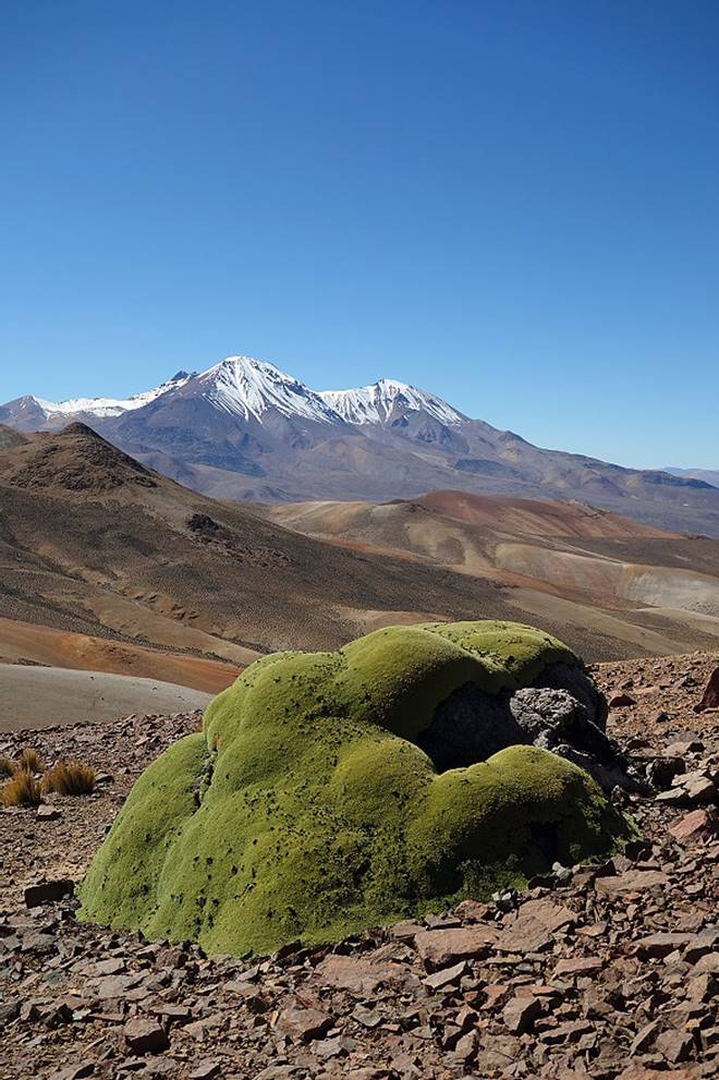
View with a llareta in the foreground.
The llareta is an extremely compact, slow-growing plant that can live several thousand years. |
View just before the descent to Termas Jurasi.
![]()