Cho Oyu, 2001 &
2002
|
|
Return to my mountaineering/trekking/travel webpage
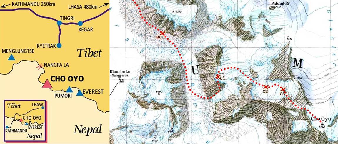
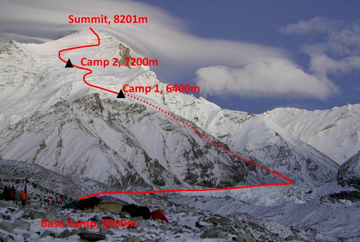
At 8201m Cho Oyu
is the 6th highest mountain in the world. It stands on the Nepalese-Tibetan
border, 20km west of Mt. Everest. Its normal climbing route on the Tibetan side
(shown in the map below) is considered to be one of the easiest and safest
routes to climb an 8000m peak. I tried to climb Cho Oyu along this route twice,
in September-October 2001 and in September 2002. For various reasons I failed
twice to reach the summit and did not went further than Camp 2 at 7200m on
either climb. Having previously failed on Makalu
in the spring of 2001, I realized that 8000m peaks were not suited for me
and I decided that I will not attempt to climb one of them again. Climbing an
8000m peak requires considerable skill, courage, and endurance. But it also
requires wasting an incredible amount of time in a tent for acclimatizing,
struggling with headaches, waiting for clement weather, melting snow, and
boiling water! There must be better ways to enjoy mountains.
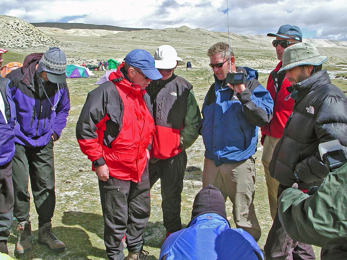
In 2001 I
went to Cho Oyu as part of an expedition led by Cathy Cosley and Mark Houston and assisted
by a support team of 5 Sherpas arranged by Windhorse
Trekking. In 2002 I went alone with only one Sherpa (also arranged by Windhorse
Trekking) to help me carry loads to upper camps. In both trips we drove
from Kathmandu in Nepal to Tingri (a small Tibetan
town located north of Cho Oyu and Everest) via the
border town of Zhangmu. From Tingri
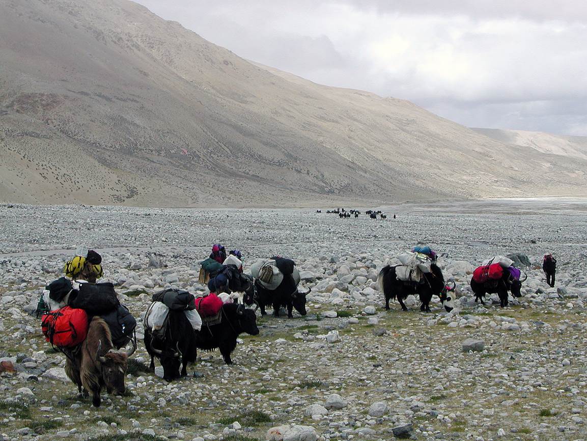
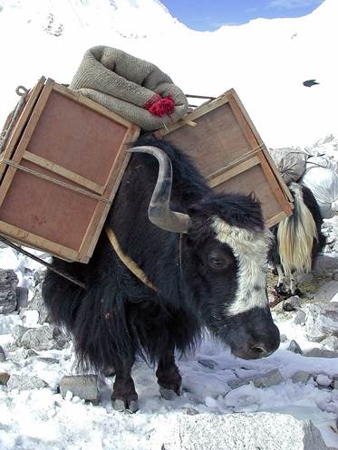
we went by truck to the so-called Chinese Base Camp (4908m). We started hiking
from there. Yaks carried our loads up to the actual Base Camp (5650m).
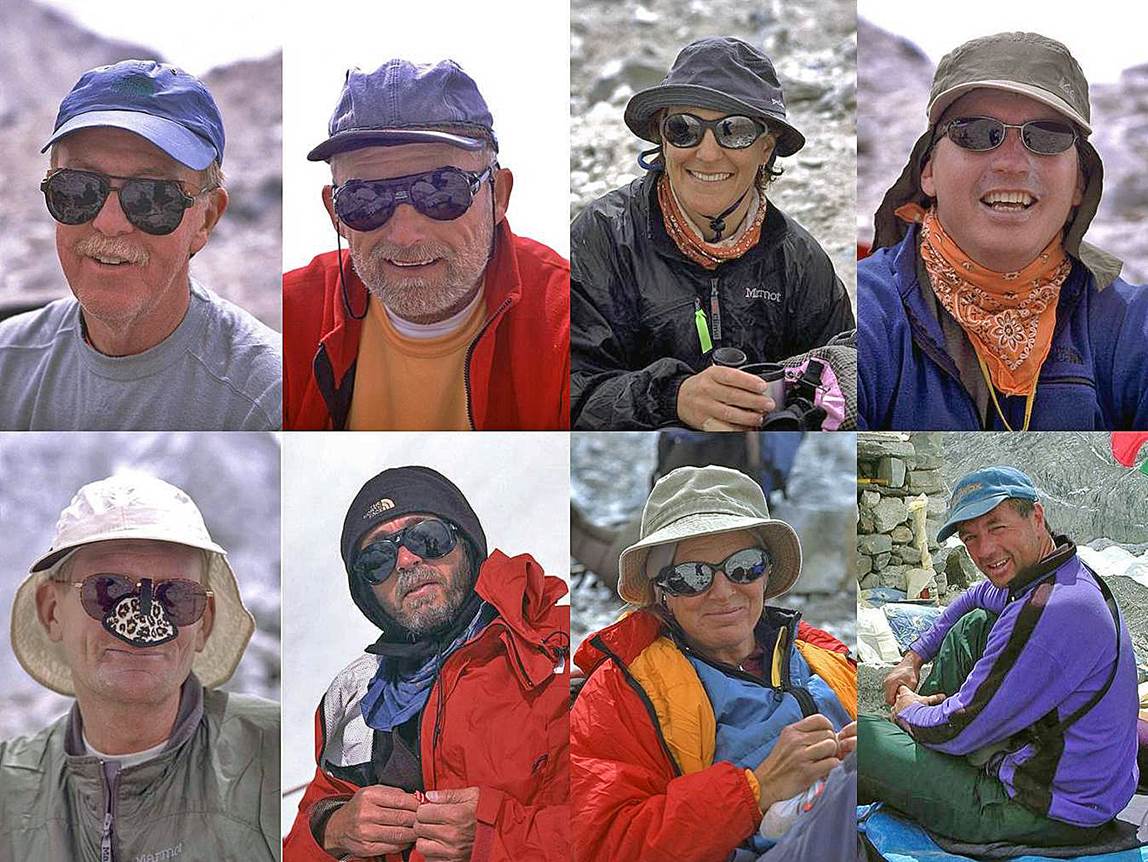
Most of the
photos below are from Mark Houston and were taken during the 2001 trip.
Member of the
2001 expedition (Cathy and Mark appear on the right of the second row).
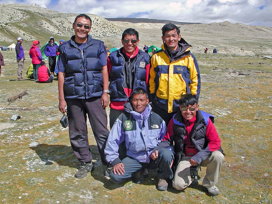
The Sherpa
support team in 2001, from left to right: Ngima,
Dawa, Pasang (standing), Pemba, and Wongchu (front row).
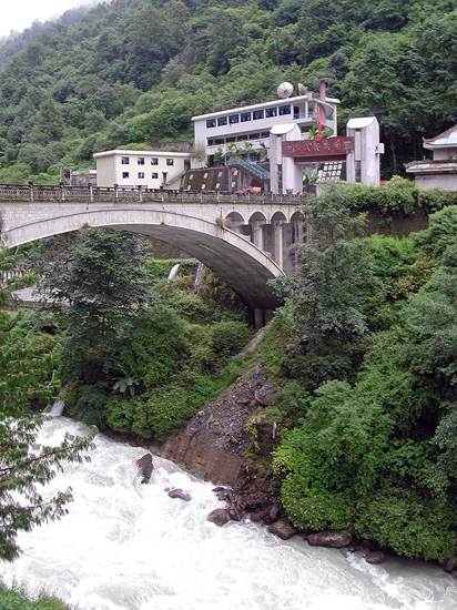
The Friendly
Bridge (so called by the Chinese) between Nepal and Tibet, and the border town
of Zhangmu on the Tibetan side.
|
|
|
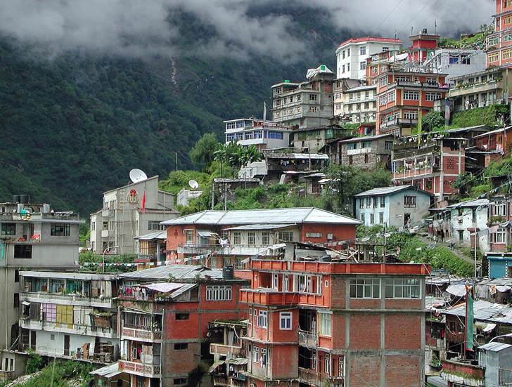
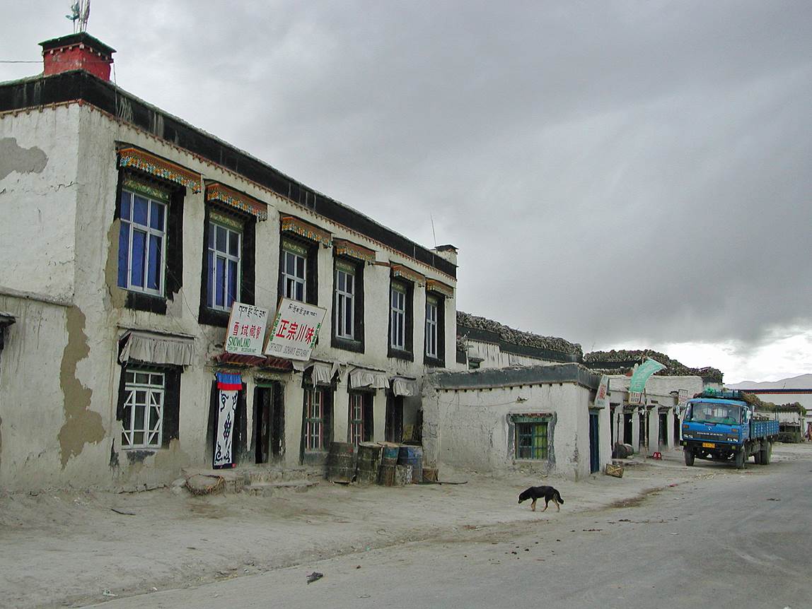
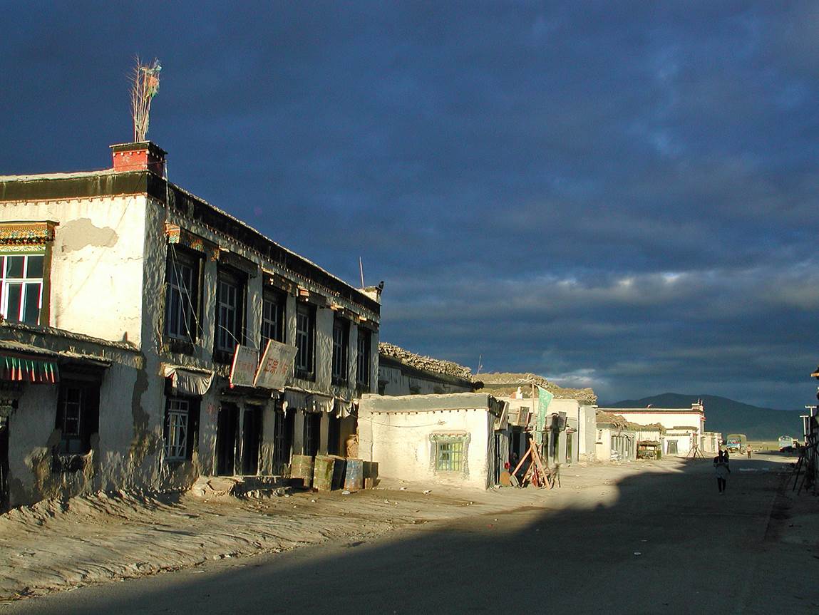
The town of Nyalam.
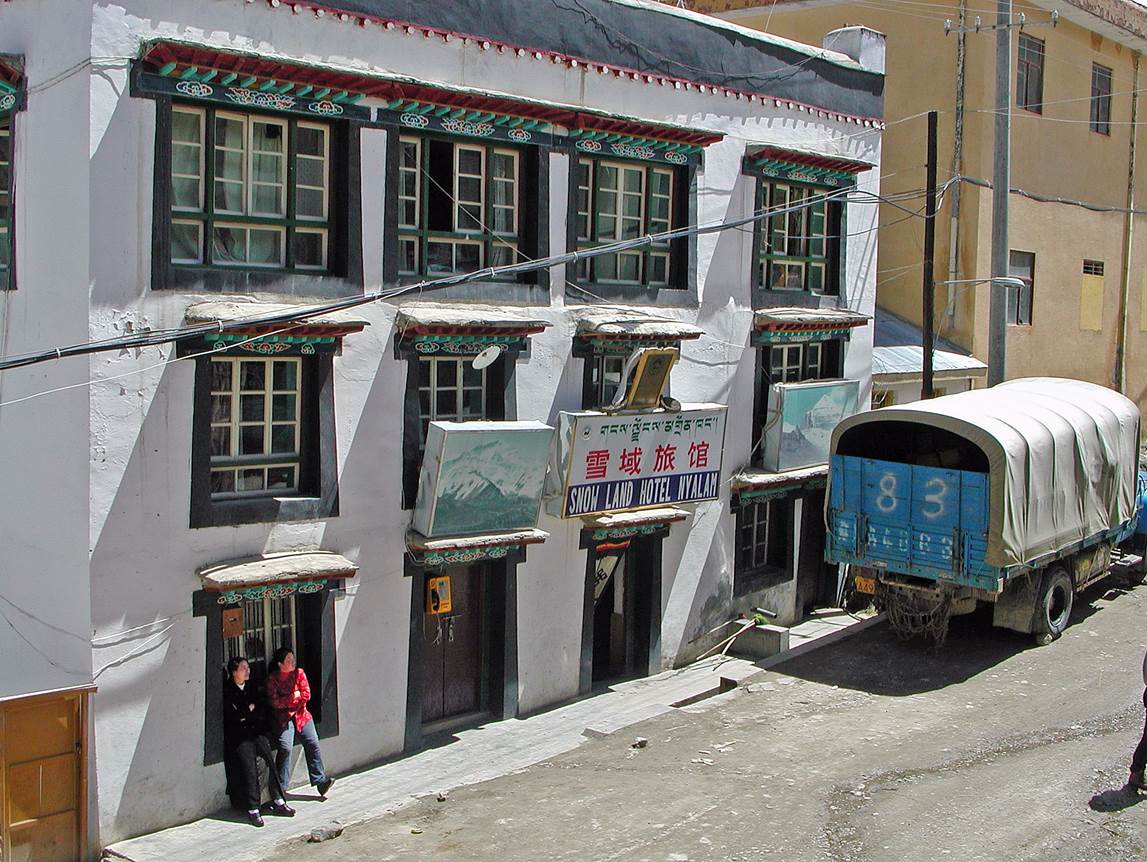
Our hotel in Nyalam.
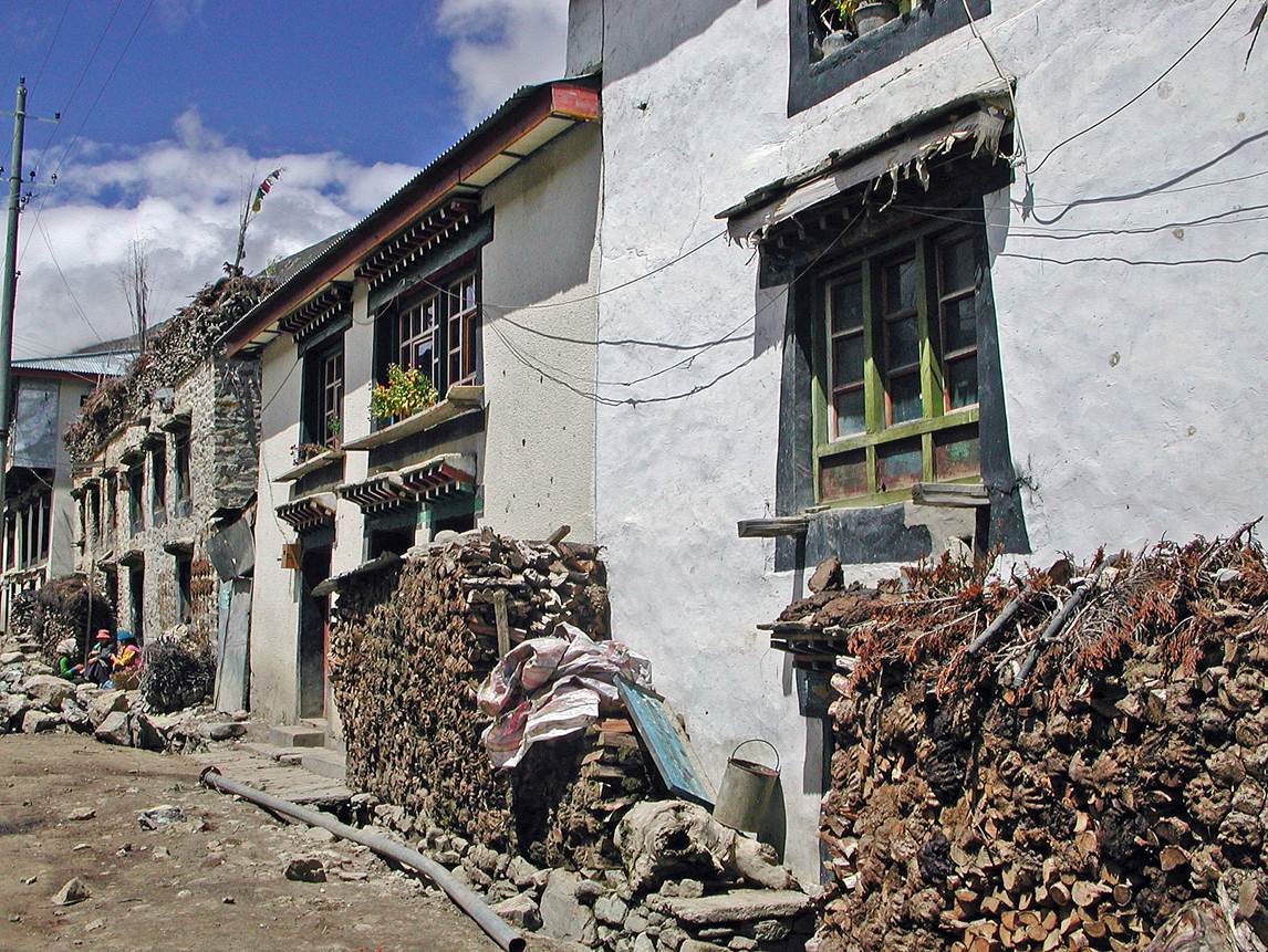
Tibetan-style
houses in Nyalam.
Along the road between Nyalam and Tingri.
View of Shishapangma from the road. (At 8013m
it is the lowest of the fourteen 8000m peaks.)
Small Tibetan village along the road.

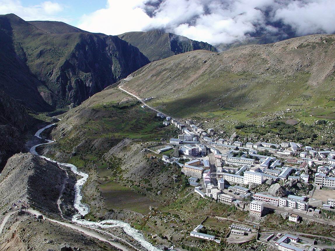
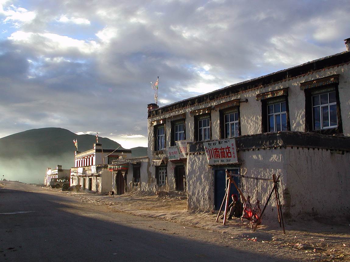
Village of Tingri (4300m). We spent a few days here for acclimatization.
This small village is occupied by a relatively large Chinese military presence.
Each morning military groups are conducting exercises (like marching, running
and chanting) in the only street of the village.
|
|
|

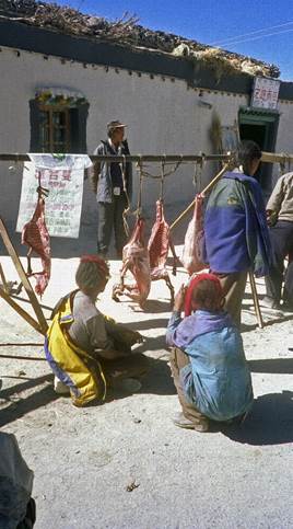
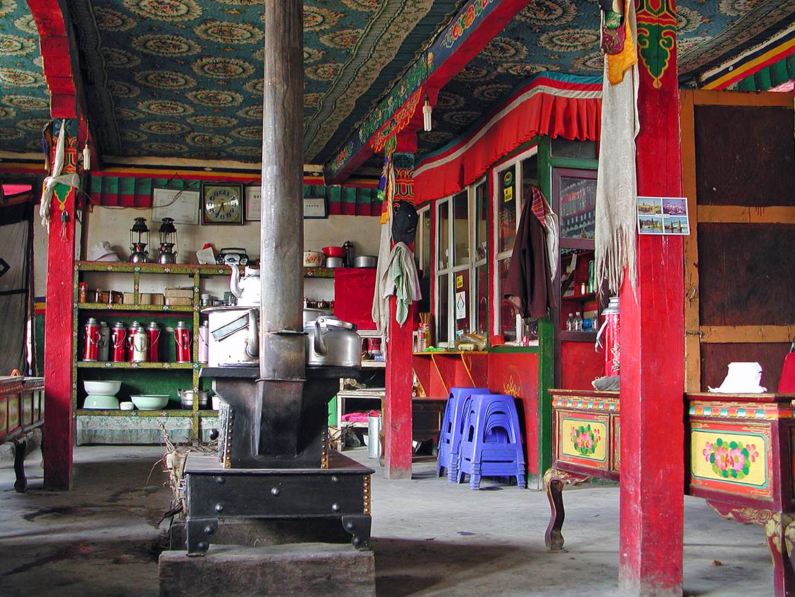
In a teahouse
of Tingri.
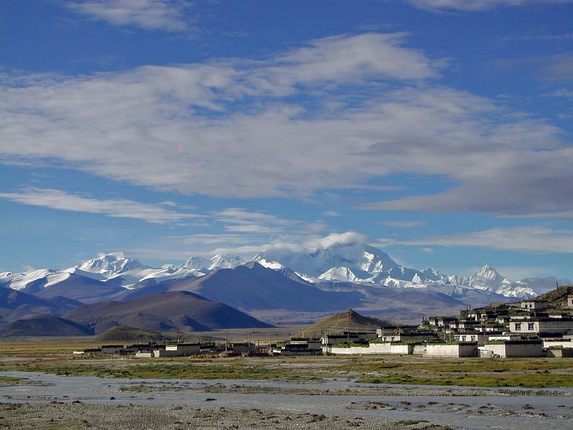
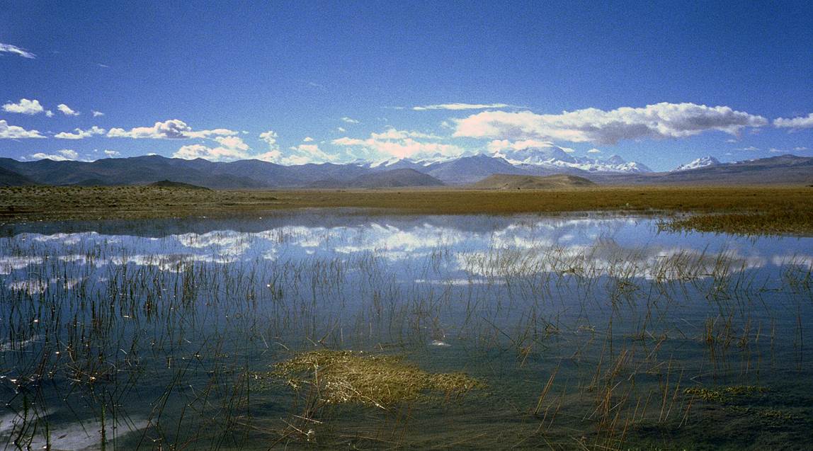
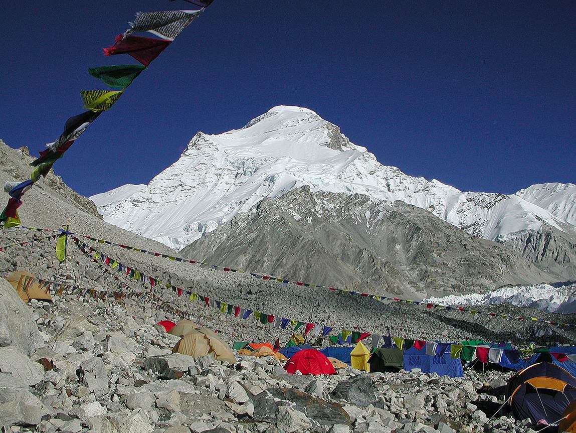
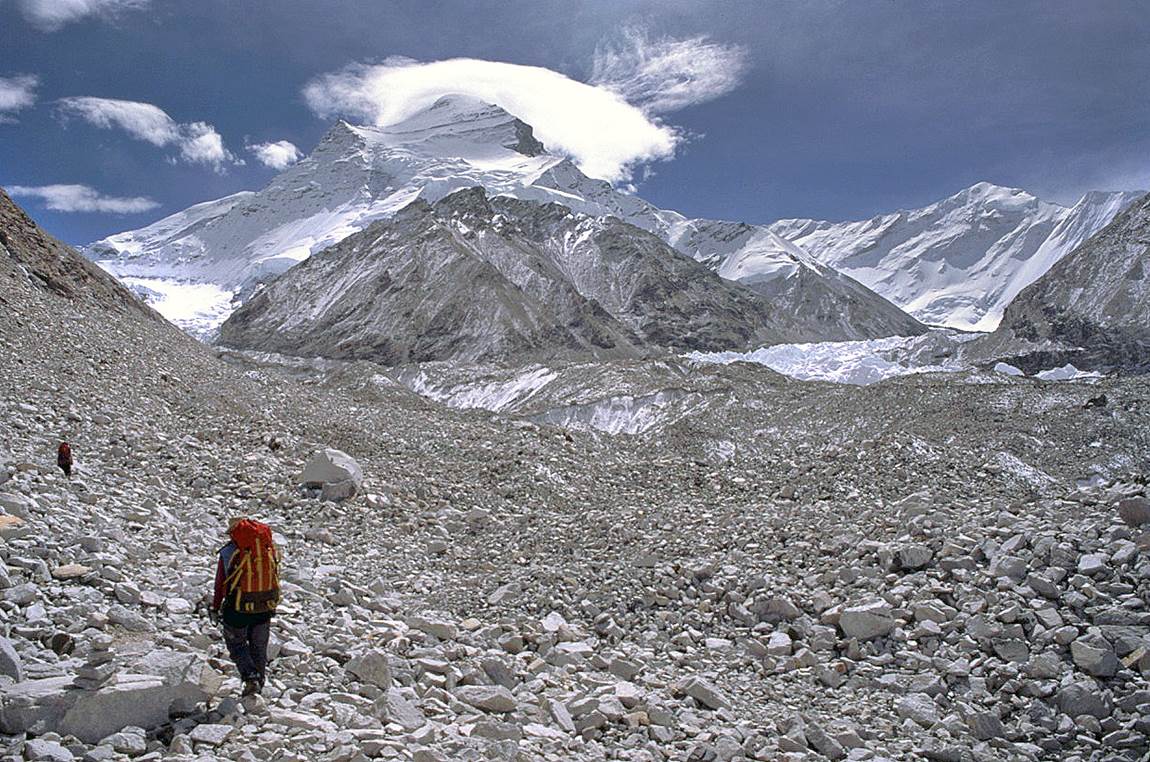
Views of the
plain around Tingri, with Cho Oyu
in the background.
At Chinese
Base Camp (4908m).
Learning about the 9/11 attacks on a small radio on the morning of
September 12, 2001, at Chinese Base Camp.
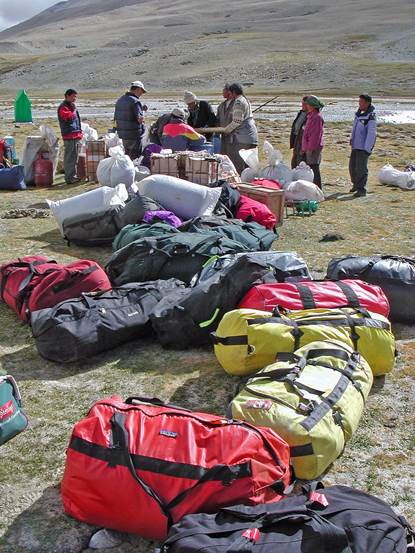
Loading the
yaks.
|
|
|

On our way
toward the actual Base Camp.
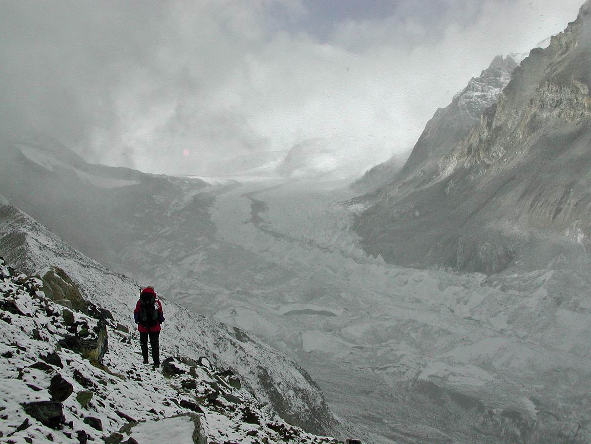
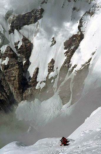
Bad weather
further up in the mountain.
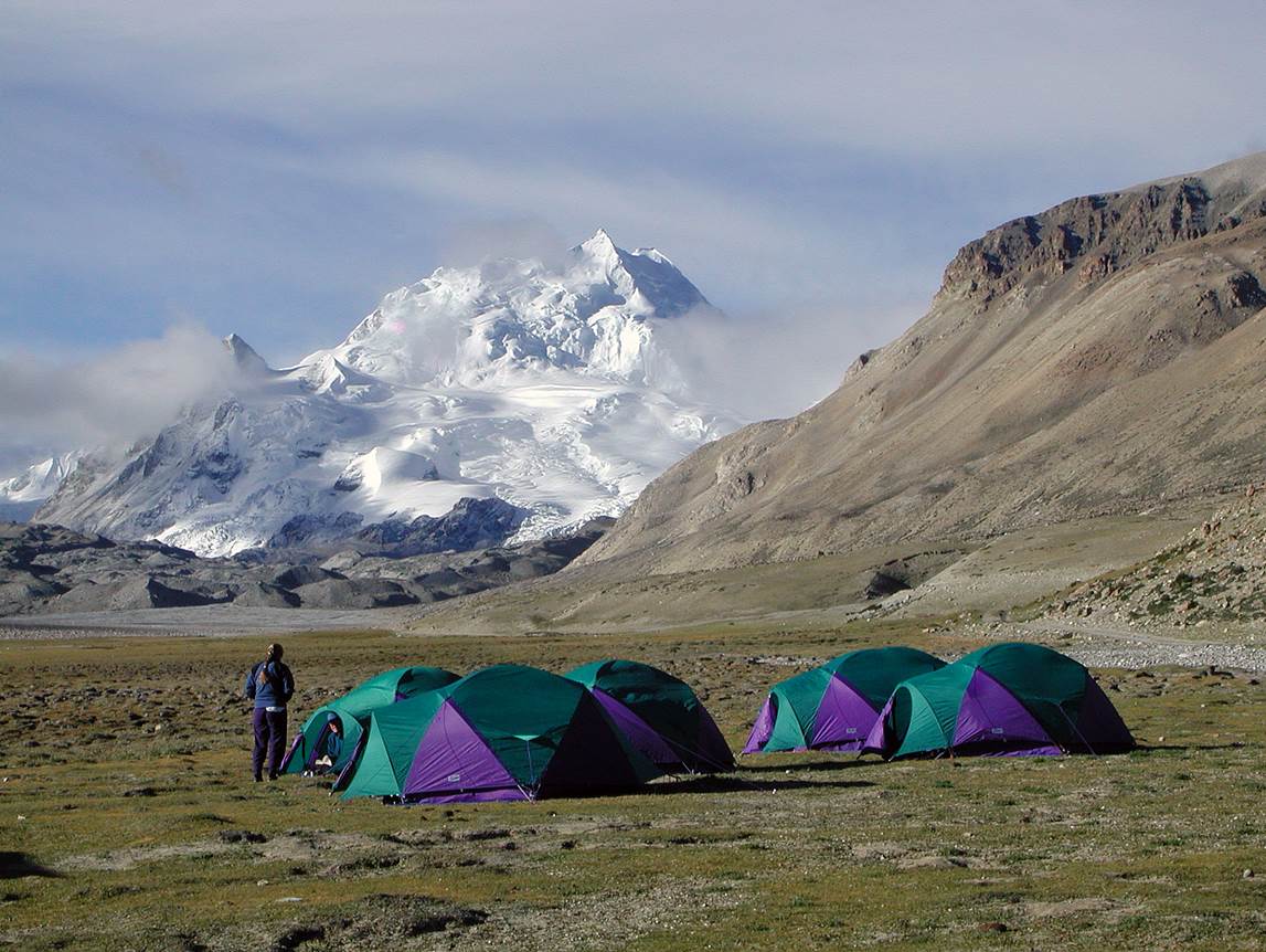
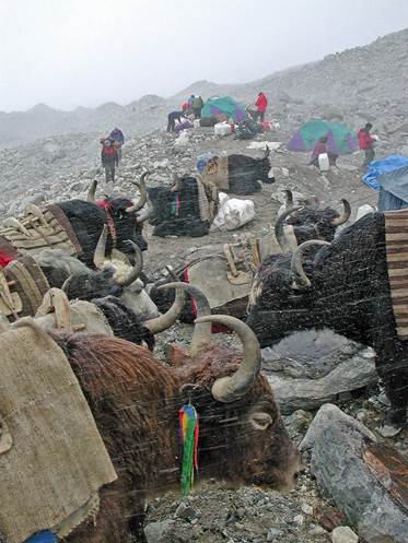
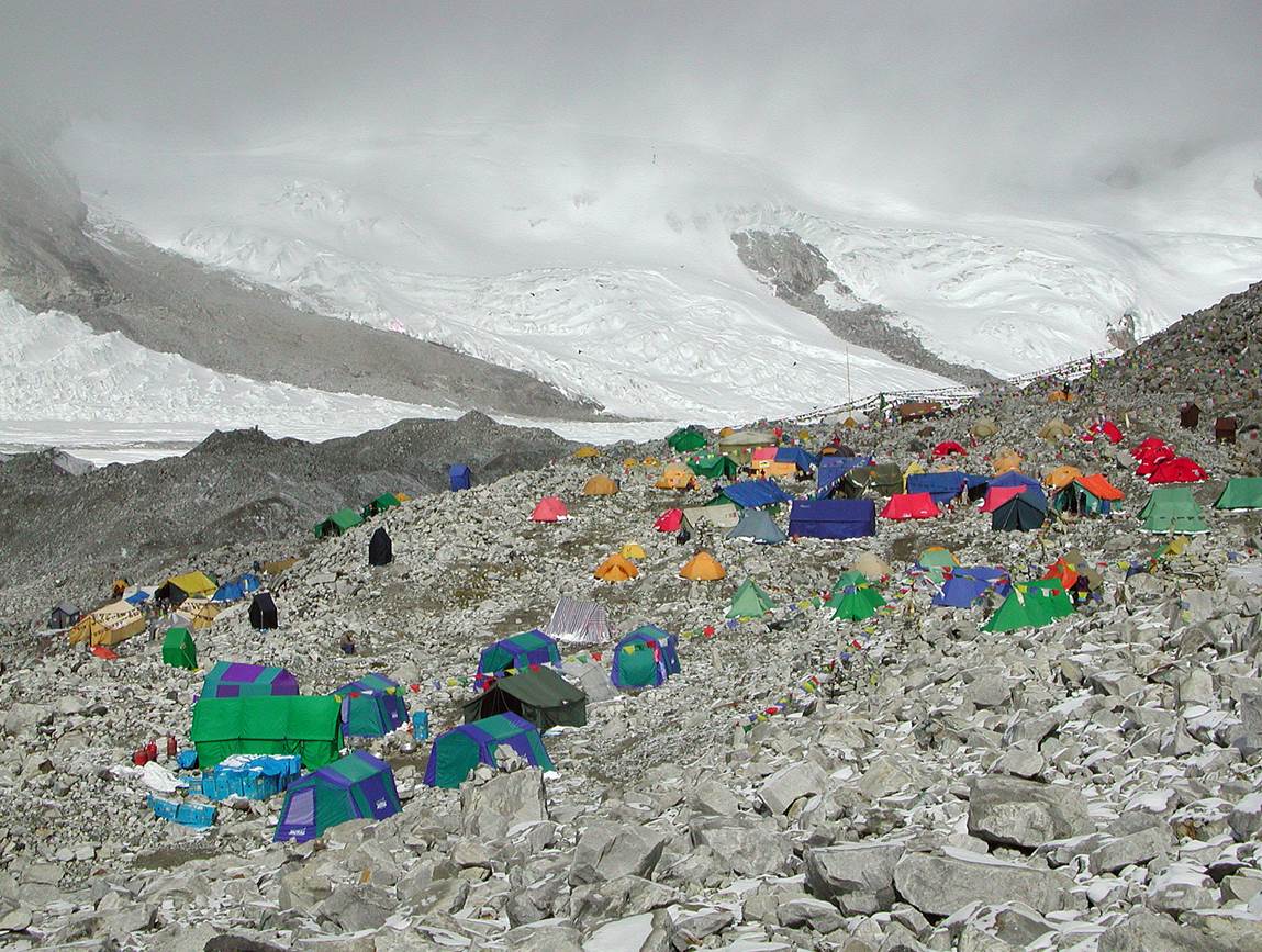
At Base Camp
(5650m).
|
|
|
|

View over
Base Camp.
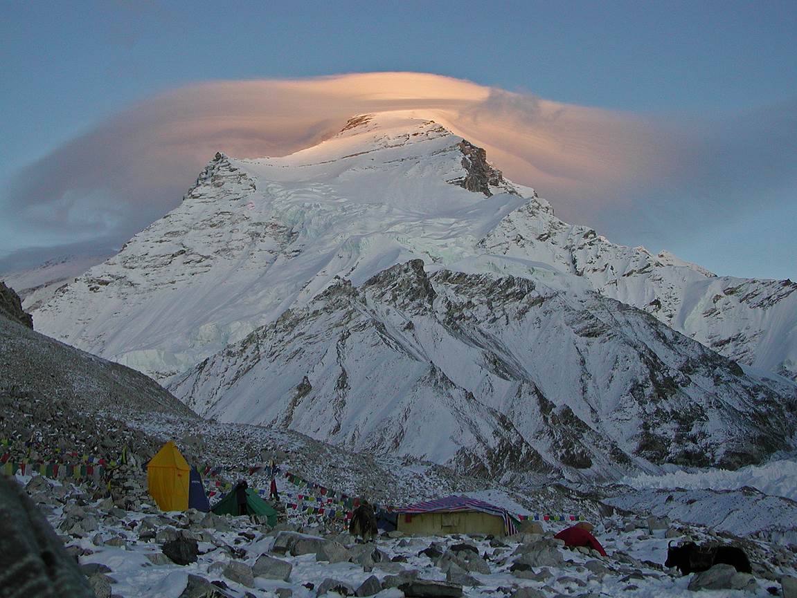
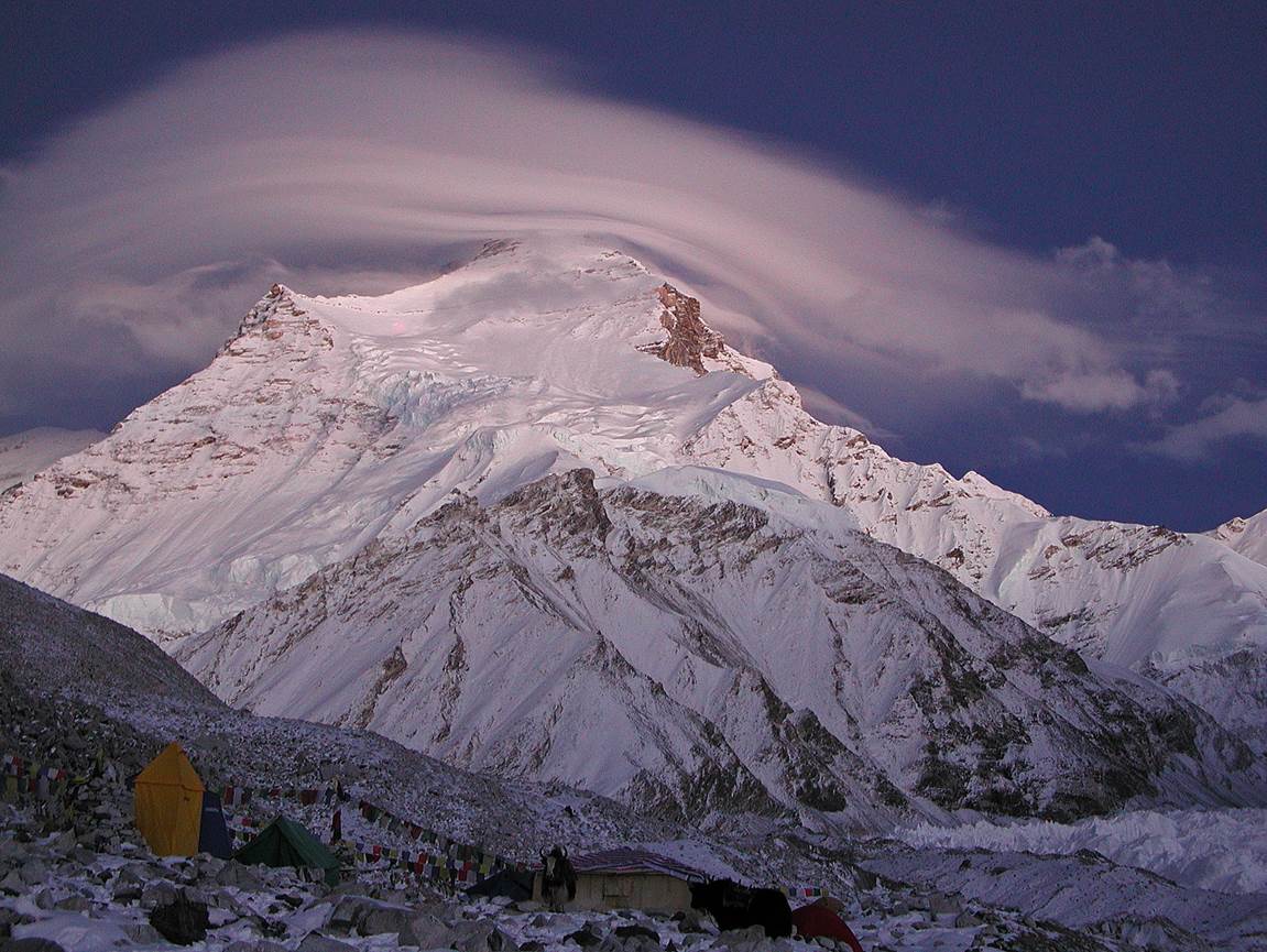
Cho Oyu seen from Base Camp.
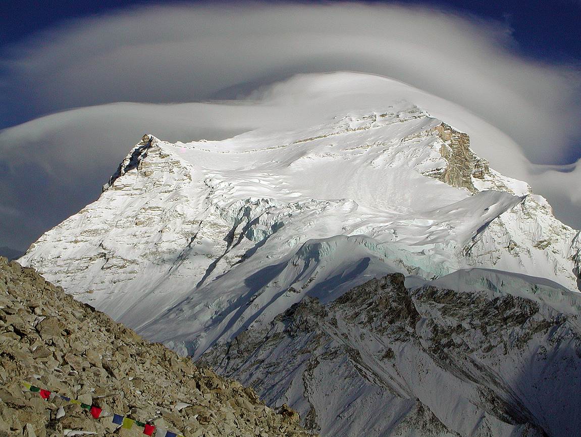
Views with lenticular cloud over the summit.

View of Nangpa La, a pass (5806m) between Tibet and Nepal. On an
early morning of September 2001 a large number of Chinese soldiers came to Base
Camp and searched all tents for Tibetan ″terrorists″. Eventually,
they spotted a Tibetan trying to cross the pass and they simply shot him from a
distance without any check. A similar event occurring in September 2006 has
been reported here.
In fact, until a relatively recent past, Nangpa La
used to be crossed by many Tibetans (traders and pilgrims) to go to the Khumbu
region in Nepal. During my early visits to Khumbu in the 70s and 90s I actually
saw many Tibetans who had crossed Nangpa La. Sadly, on my last three visits to
Khumbu in 2011, 2012, and 2013 I saw none of them. It seems that by now the
Chinese have completely sealed the pass.
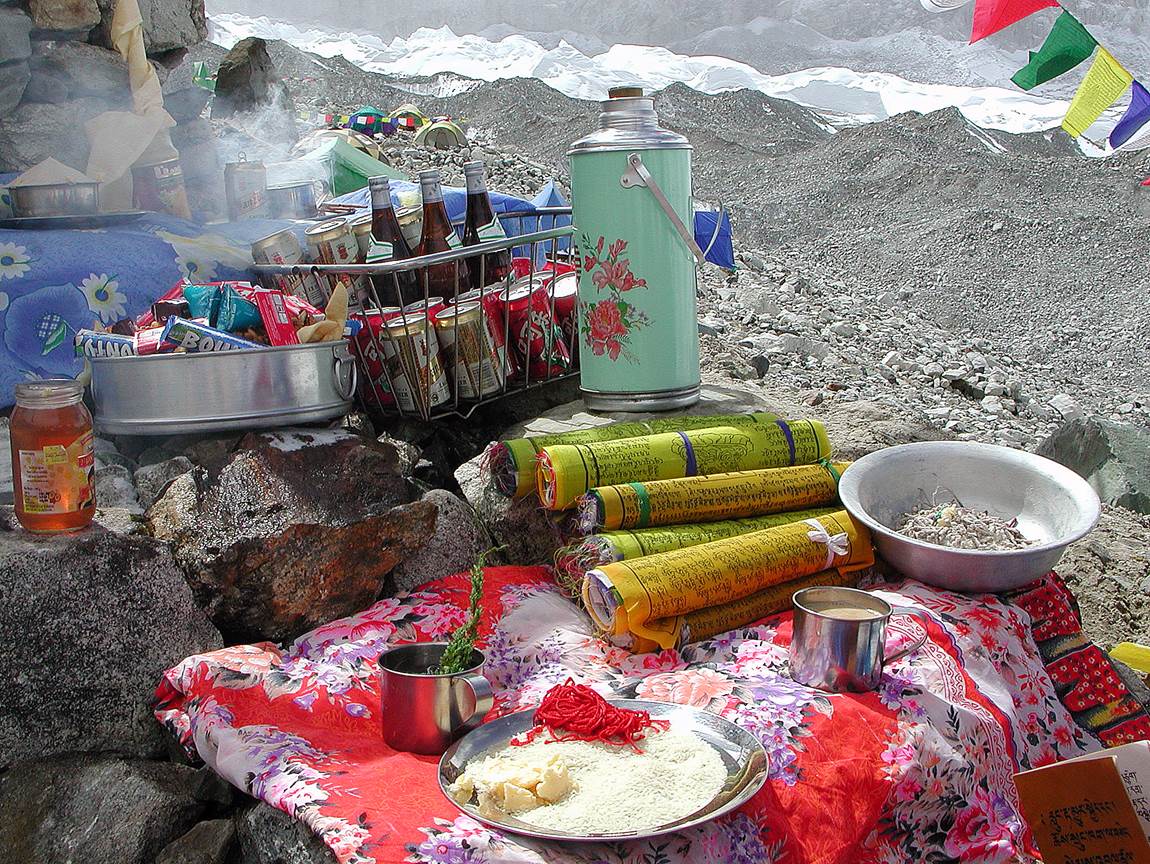
Offerings for
the puja (Buddhist ritual asking permission from the Gods to climb the mountain
and inviting blessings for the climb) preceding our ascent to Camp 1.
Leaving B.C.
to Camp 1. (Actually, we made several carries from B.C. to Camp 1.)
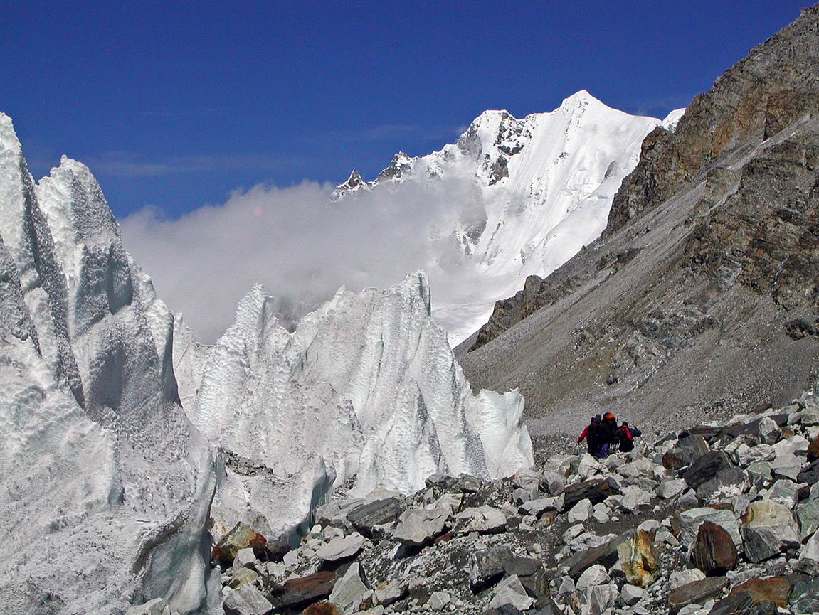
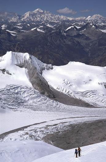
Navigating
alongside the glacier.
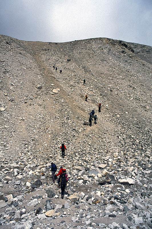
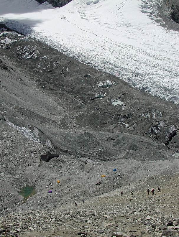
The infamous
scree leading to Camp 1, seen from below (left) and from above (right). A few
people establish an intermediate camp at the base of the scree.
|
|
|
At the top of the scree, a short walk from Camp 1 (hidden on the left
side of the photo).
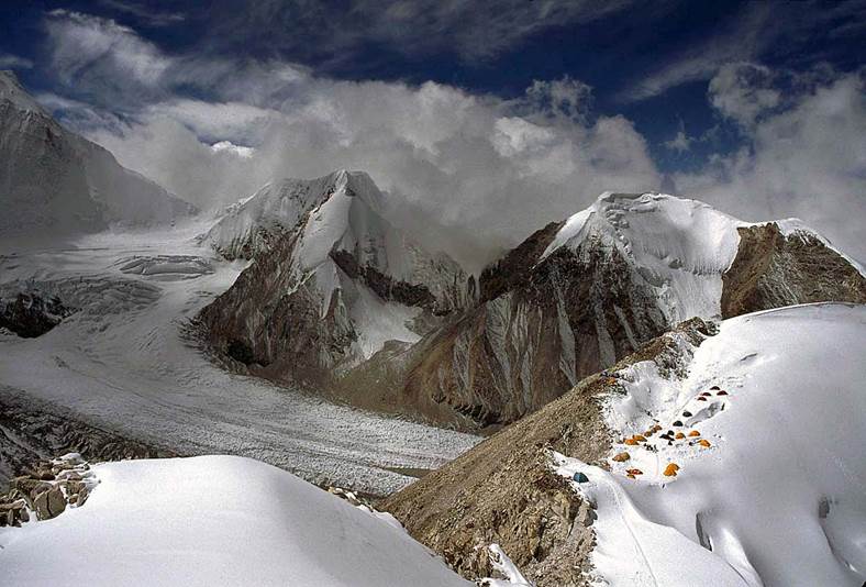
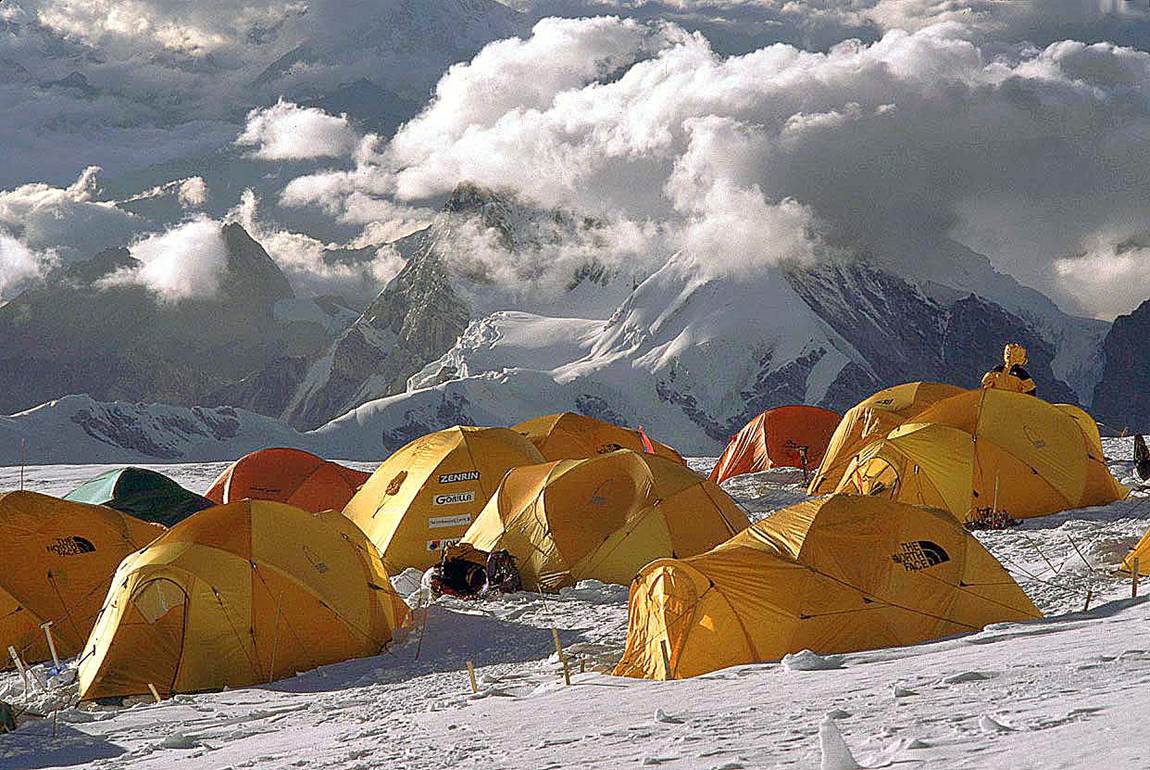
Views of Camp 1 (6400m).
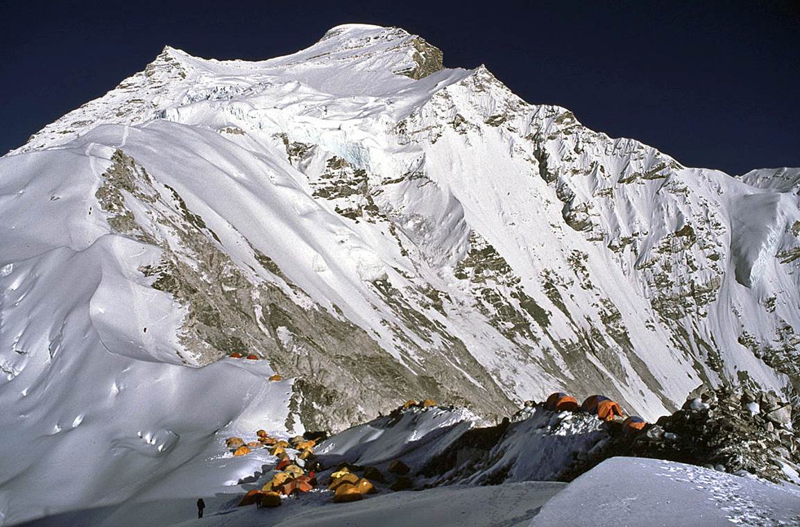
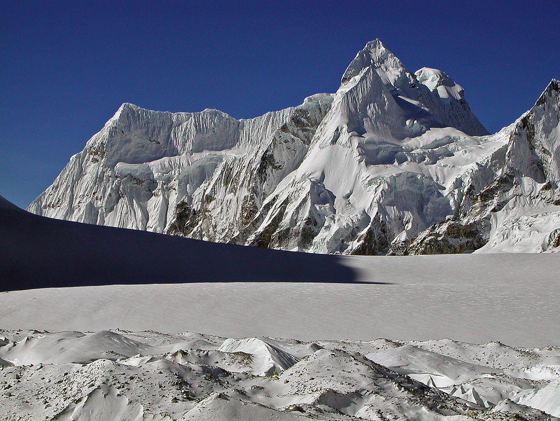
Above Camp 1.
|
|
|
Shishipangma in the background of the photo on the left. Serac
field in the photo on the right.
|
|
|

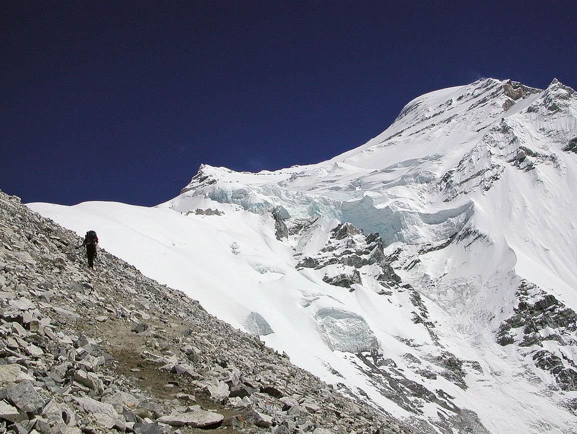
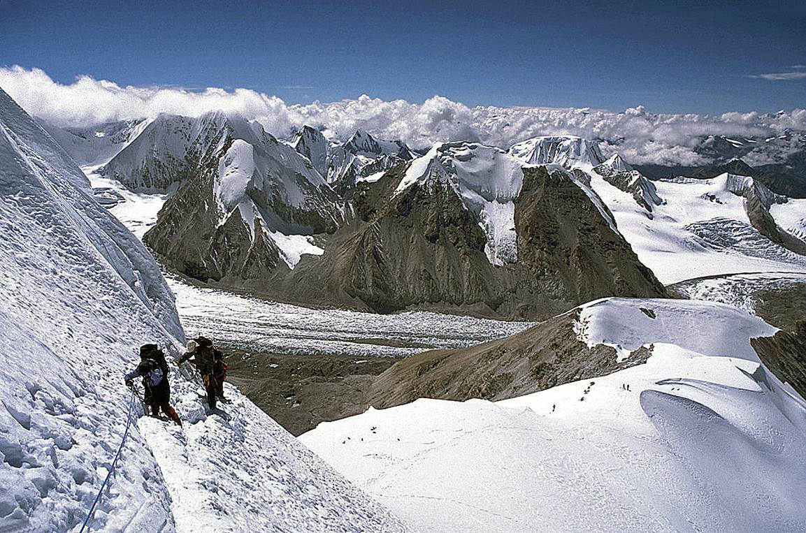
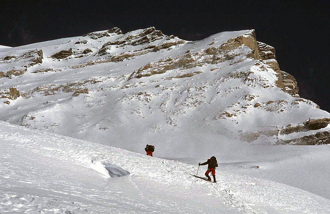
Some steeper
sections higher up.
|
|
|
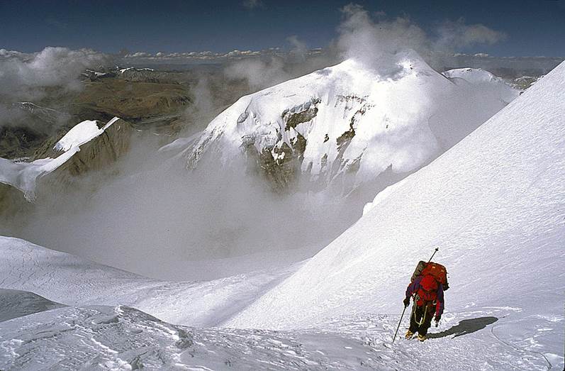
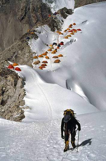
Getting close
to Camp 2.
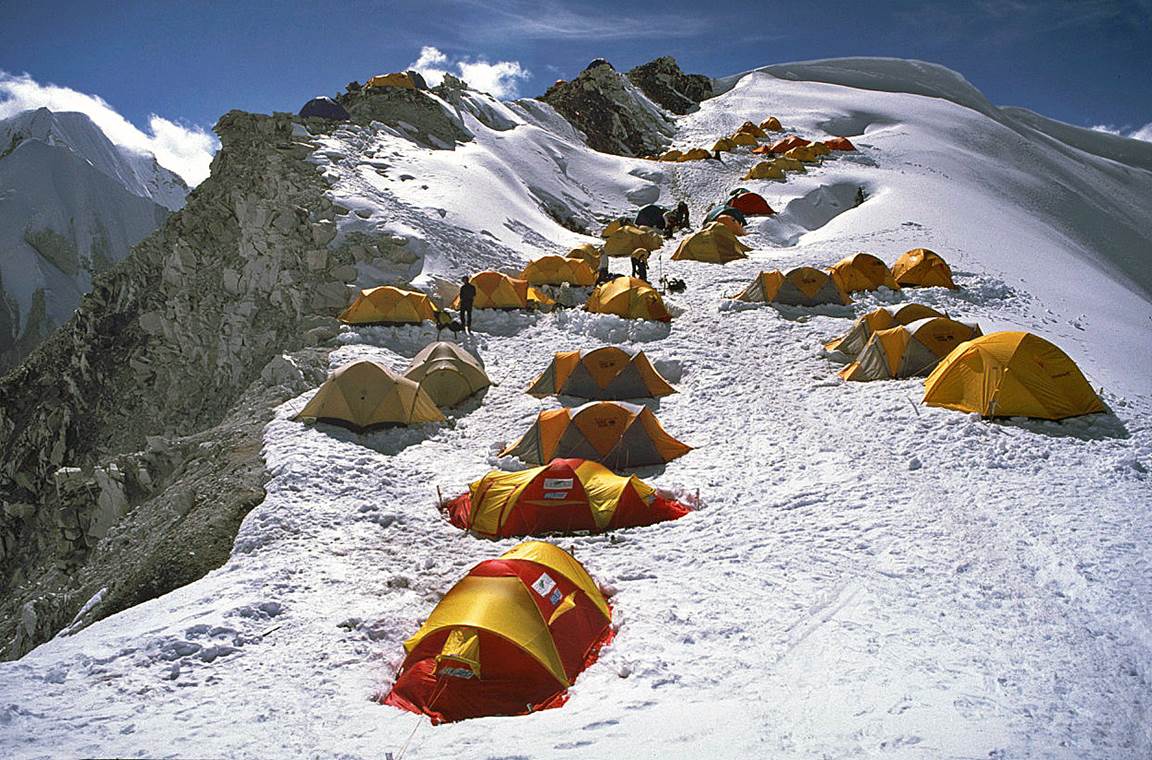
Camp 2 (7200m) before a storm ...
... and after (with the remain of a snowslide behind
the camp).
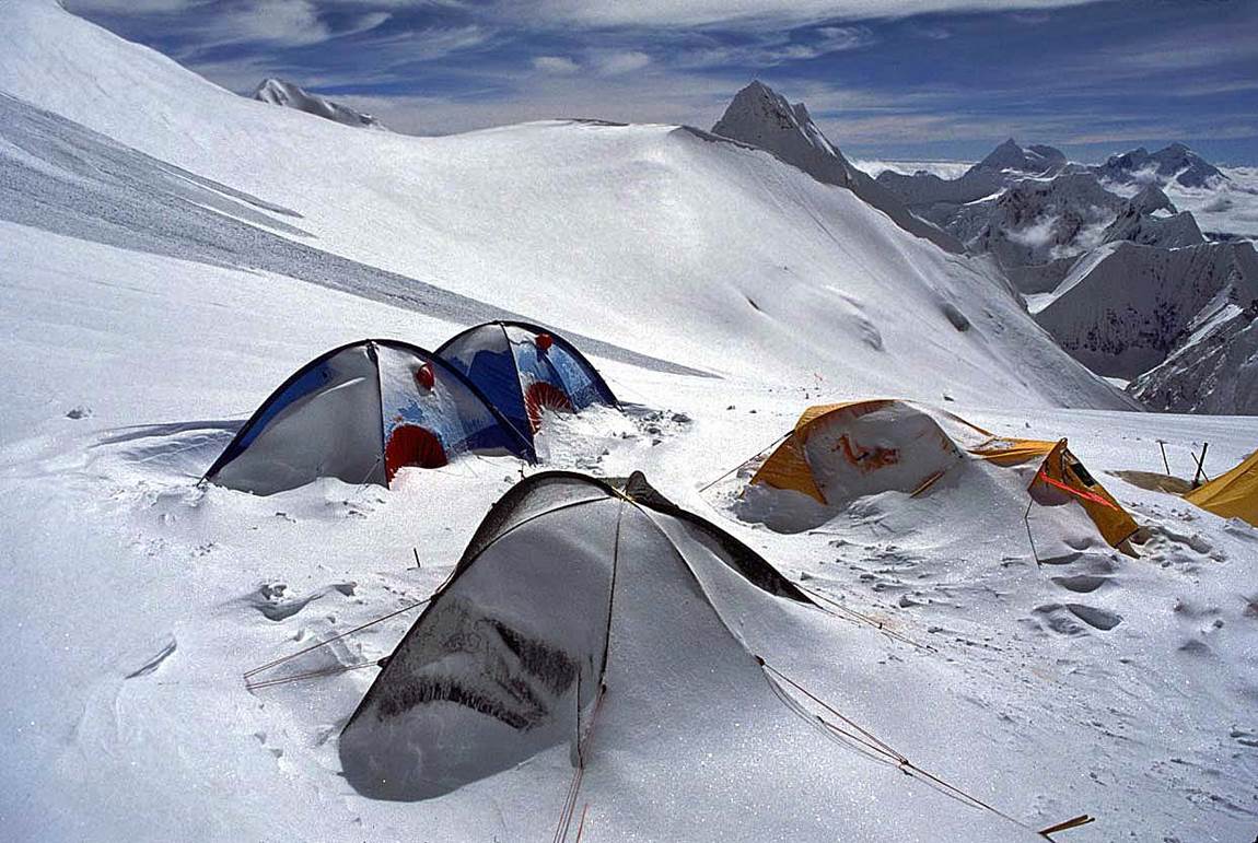
This was the
highest place that we reached on Cho Oyu.
|
|