Colombia (February-March 2018): Across PNN Los Nevados, from Salento to Santa Isabel de Tolima
Part 1: From Salento to Finca La Playa
![]()
Return to main Los Nevados trek page | Return to main Colombia 2018 page
Map:
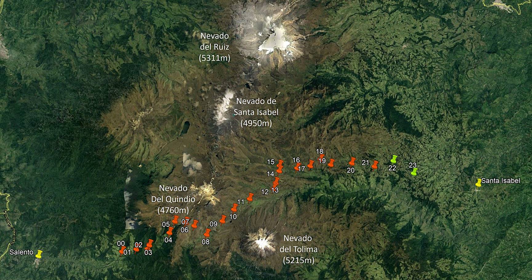
[Reminder: Click here (.kmz file) to access the waypoints in Google Earth.]
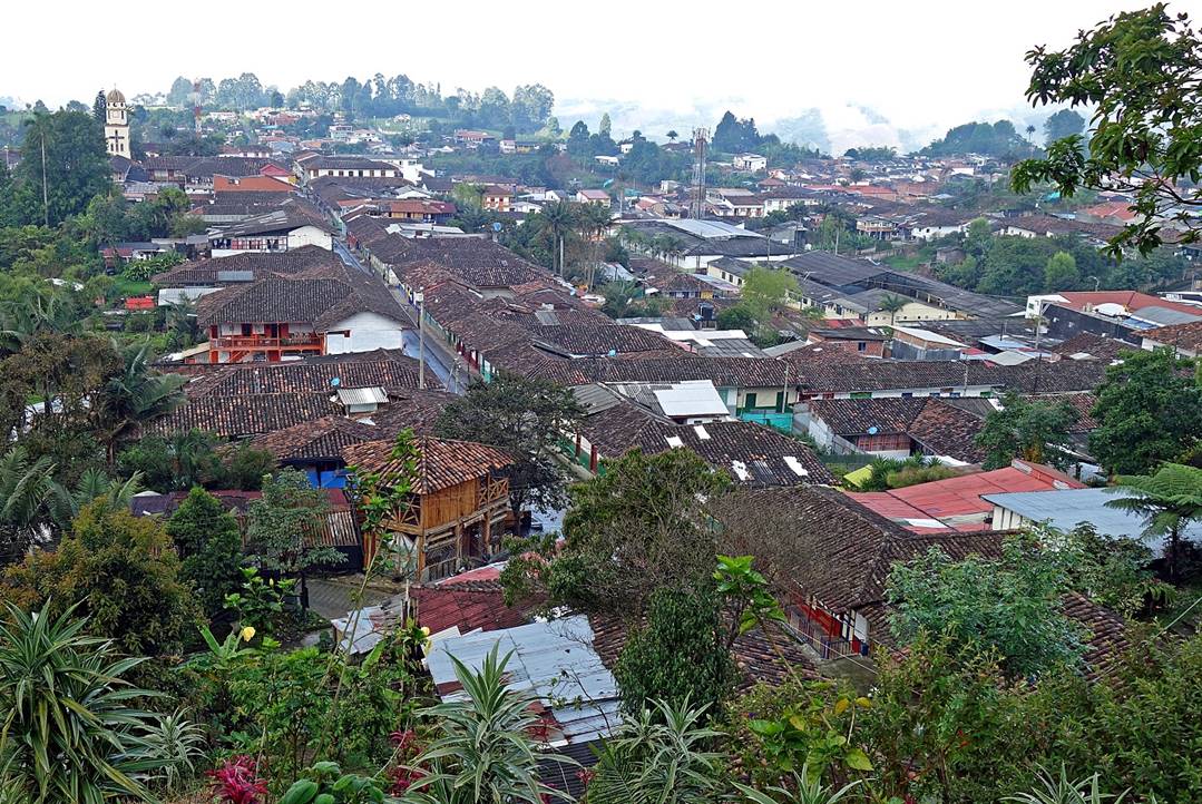
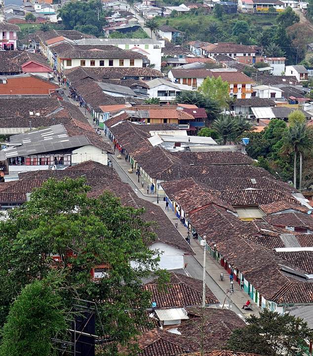
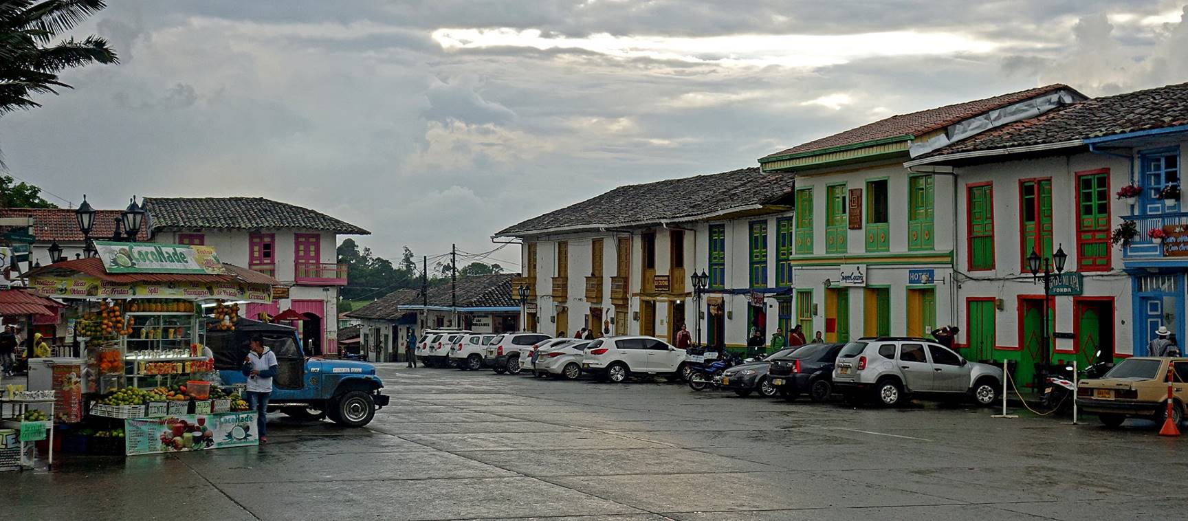
Salento:
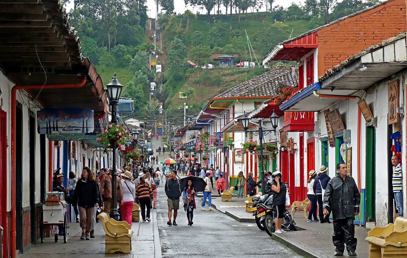
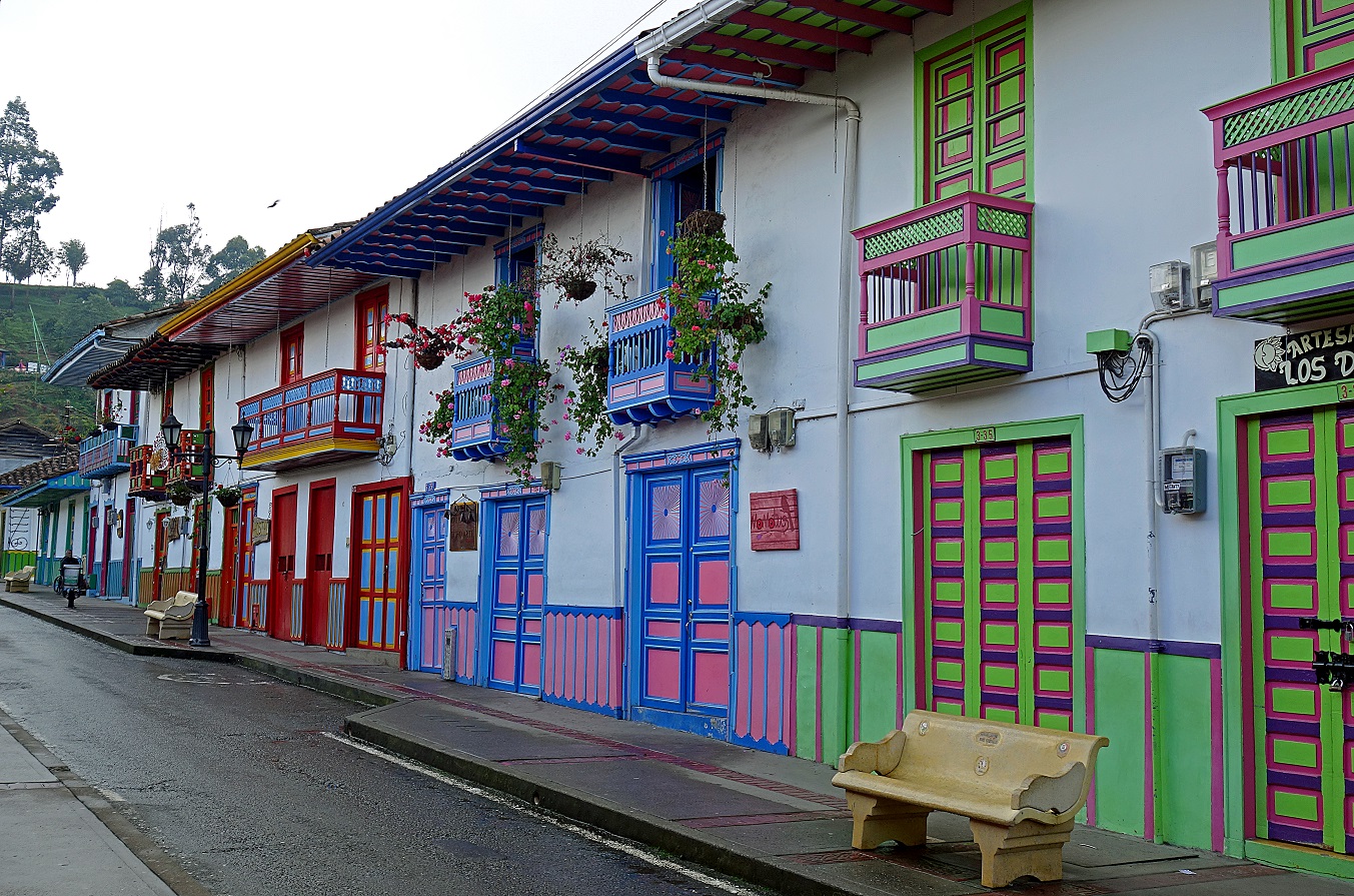
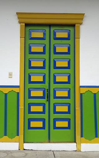
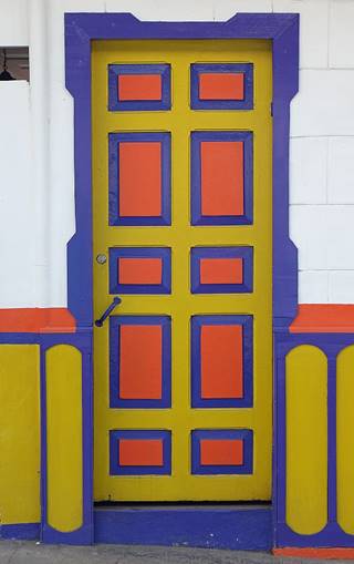
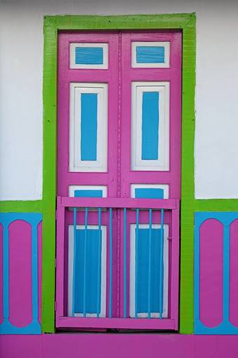
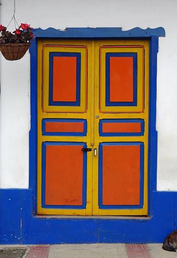
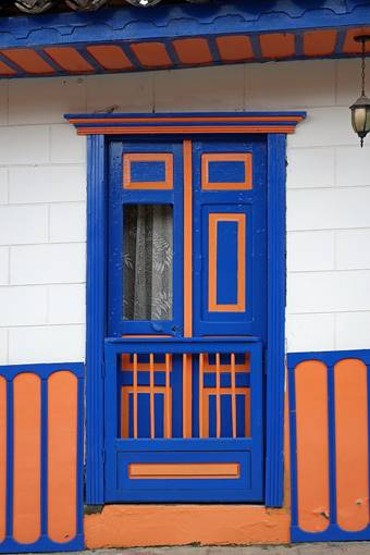
Salento is a pleasant, colorful small town located at an altitude of 1895m next to the main coffee-growing region of Colombia. Unfortunately, most of the town seems to cater to tourists, both Colombians and foreign, who come in huge numbers (for the size of the town), especially on weekends.
|
|
|
|
|
|
|
|
|
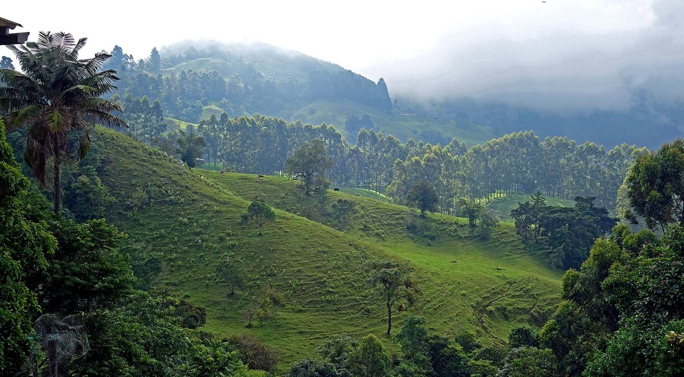
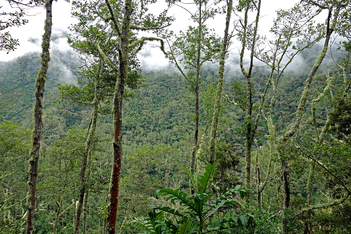
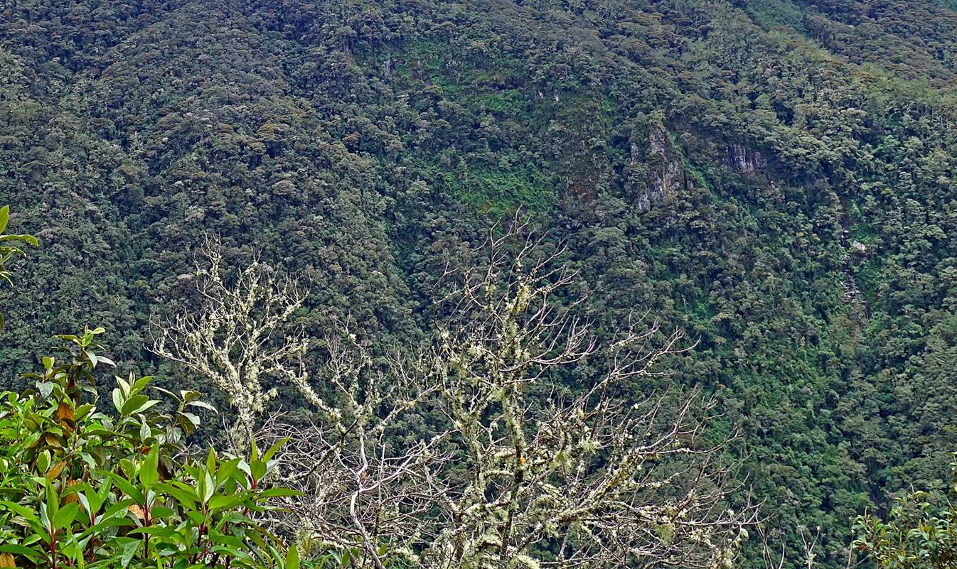
Landscape outside Salento.
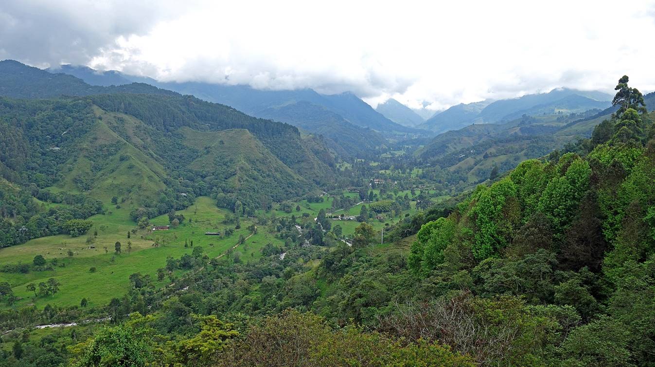
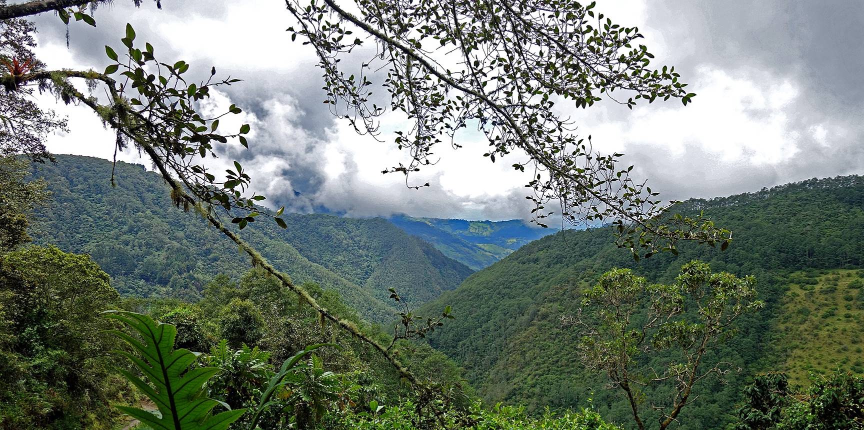
Cocora valley seen from the Mirador above Salento. Waypoint 00 is at the very end of this valley.
Day 1 of trek: From Cocora Valley (waypoint 00) to Finca La Argentina (waypoint 05):
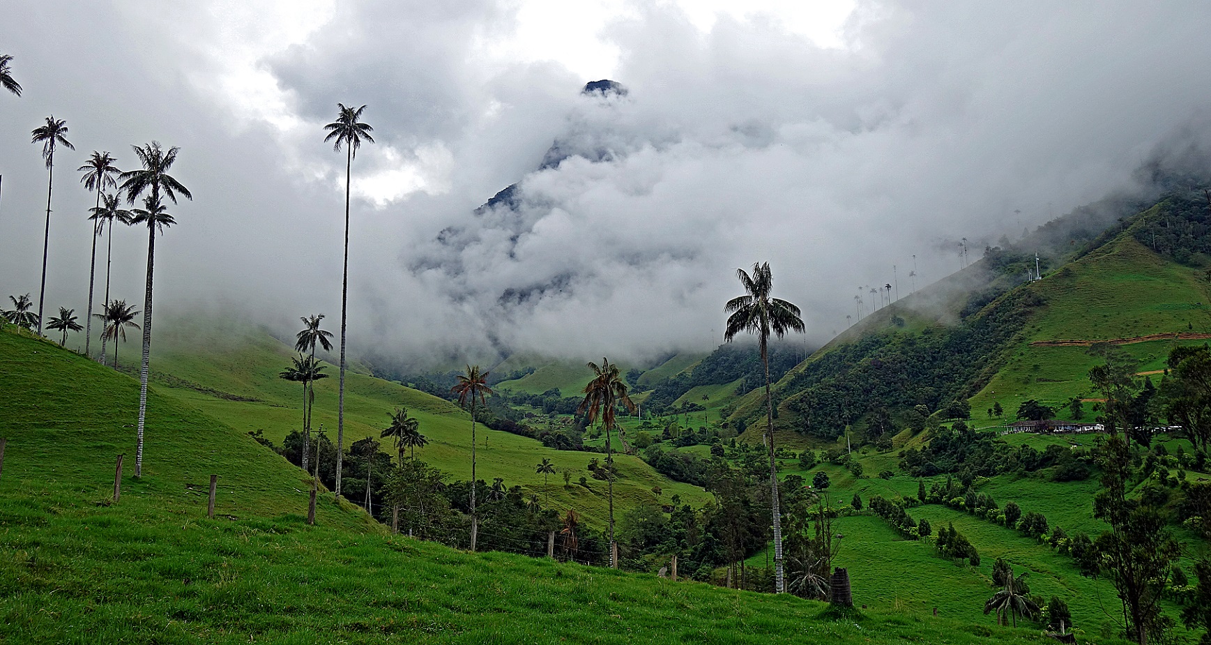
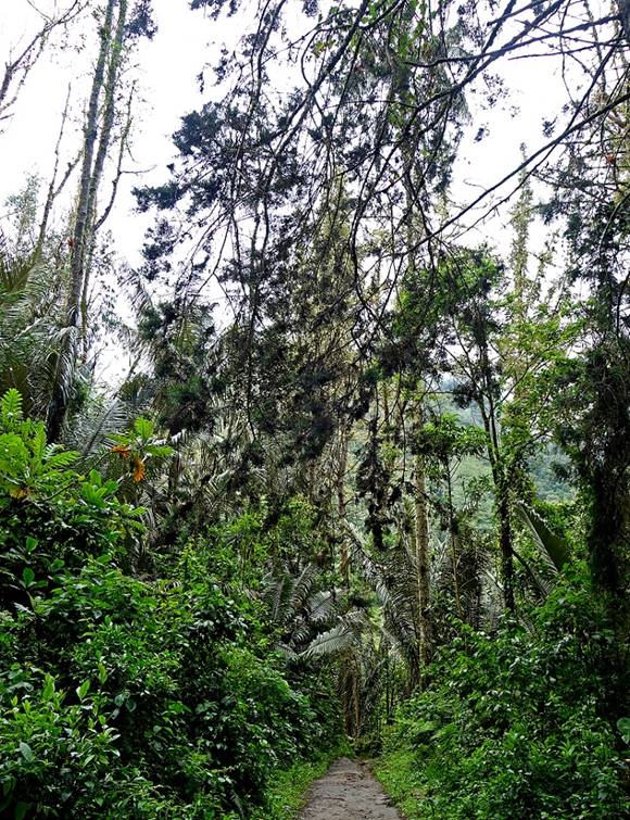
Cocora valley, with its famous tall palm trees, near the start of the trek.
|
|
|
|
|
|

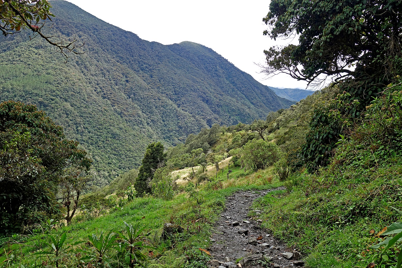
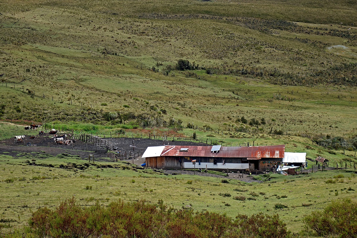
First sight of Finca La Argentina (at the center of the photo).
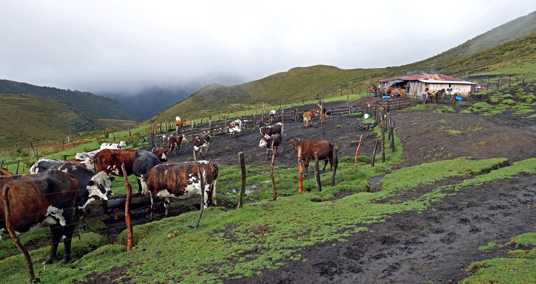
Reaching Finca La Argentina (waypoint 05, see map at the top of this page).
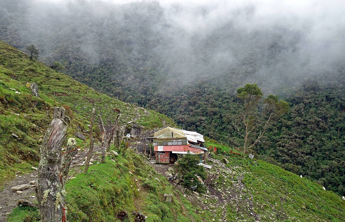
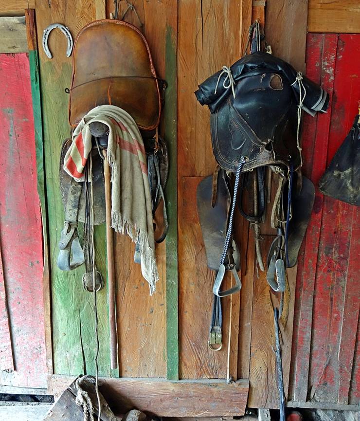
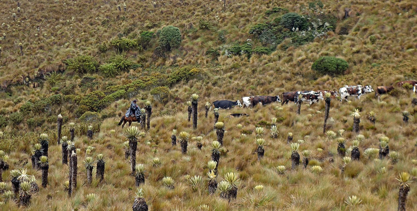
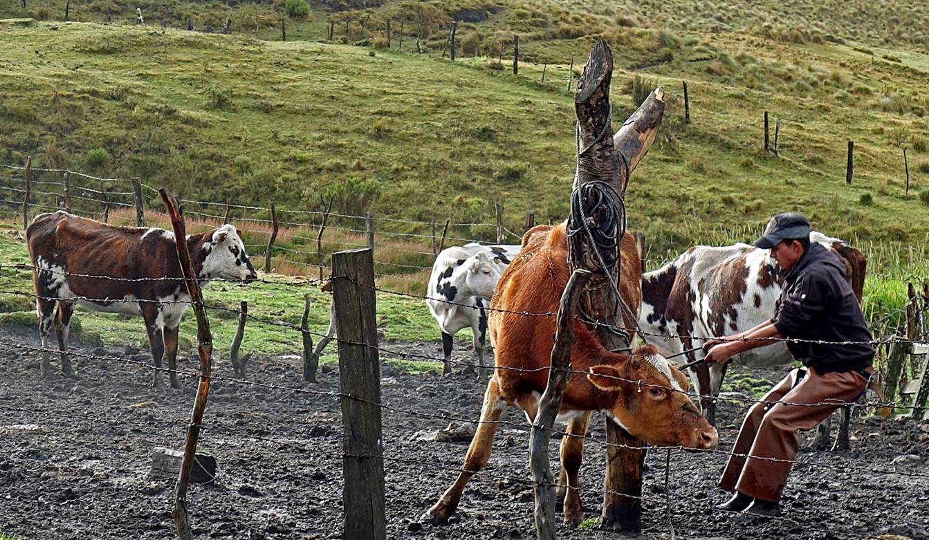
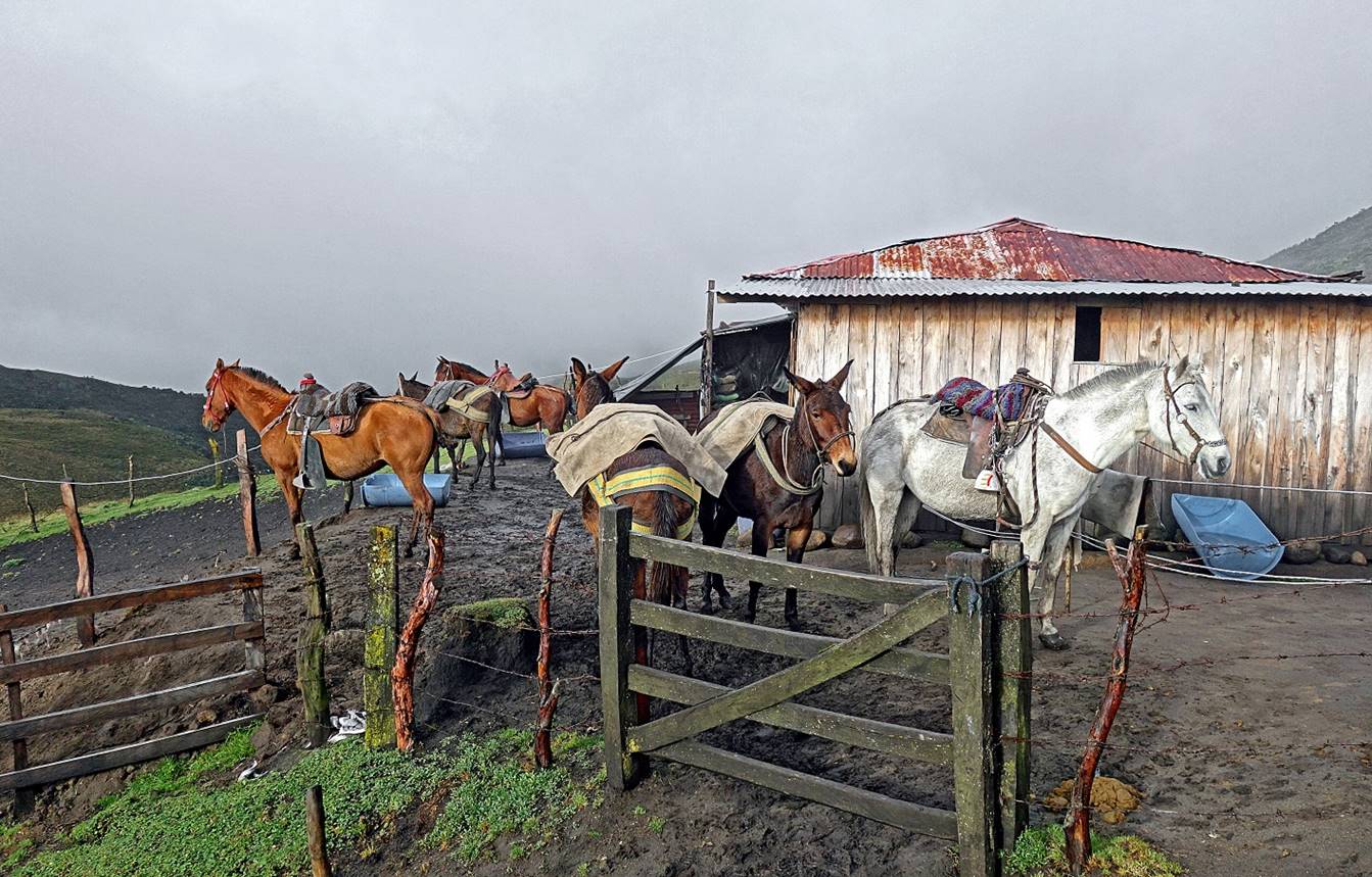
Life in the finca is almost entirely about horses and cows. We spent our first night there.
|
|
|
Day 2 of trek: From Finca La Argentina to Finca La Playa (waypoint 08):
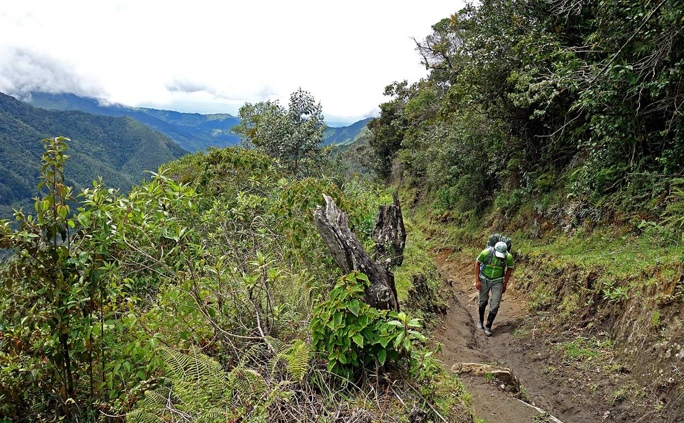
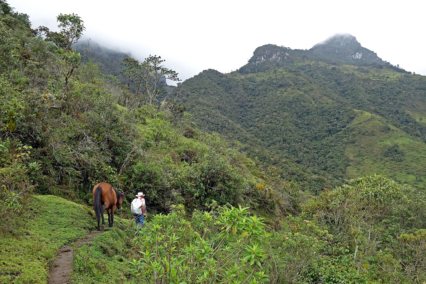
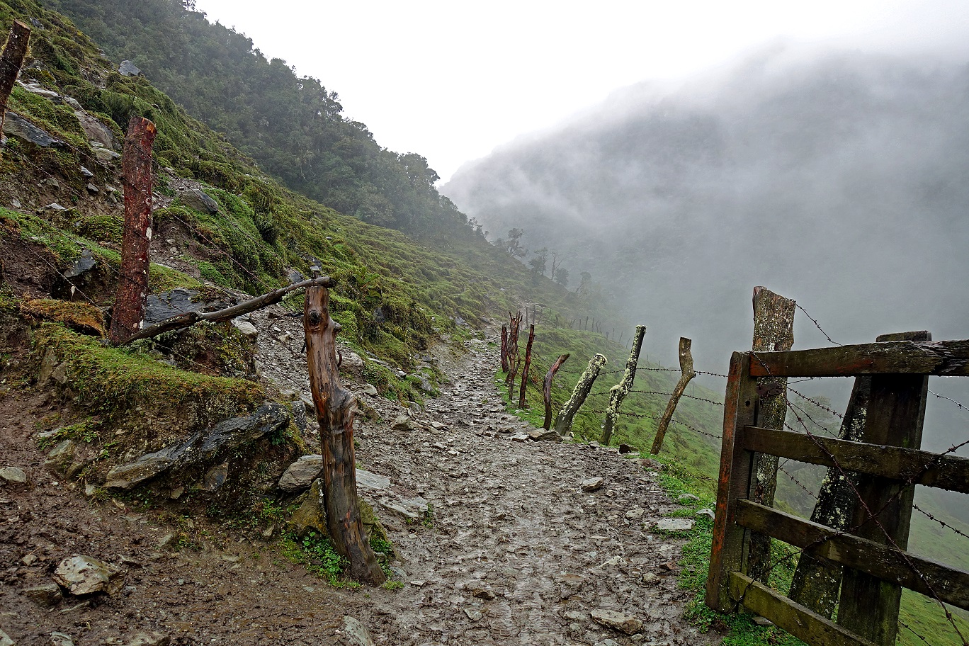
Leaving Finca La Argentina.
|
|
|
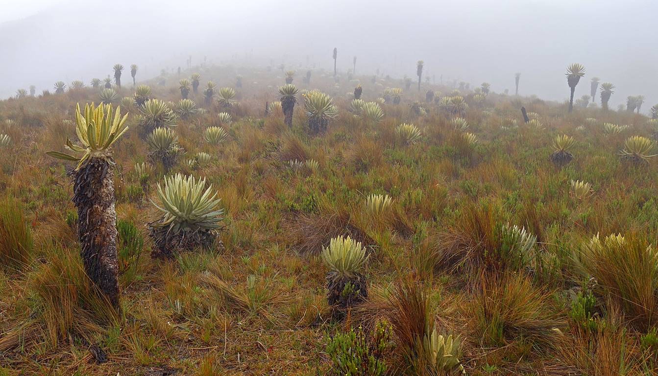
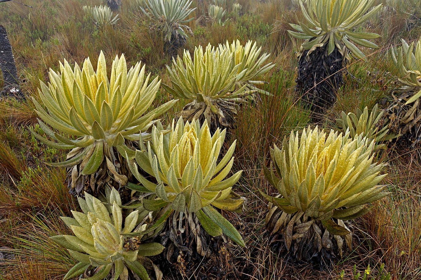
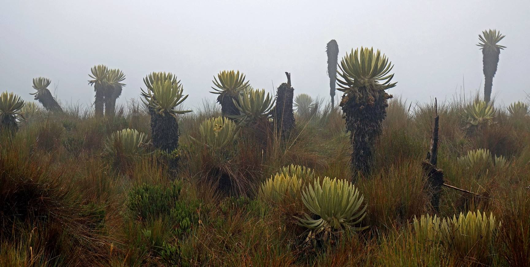
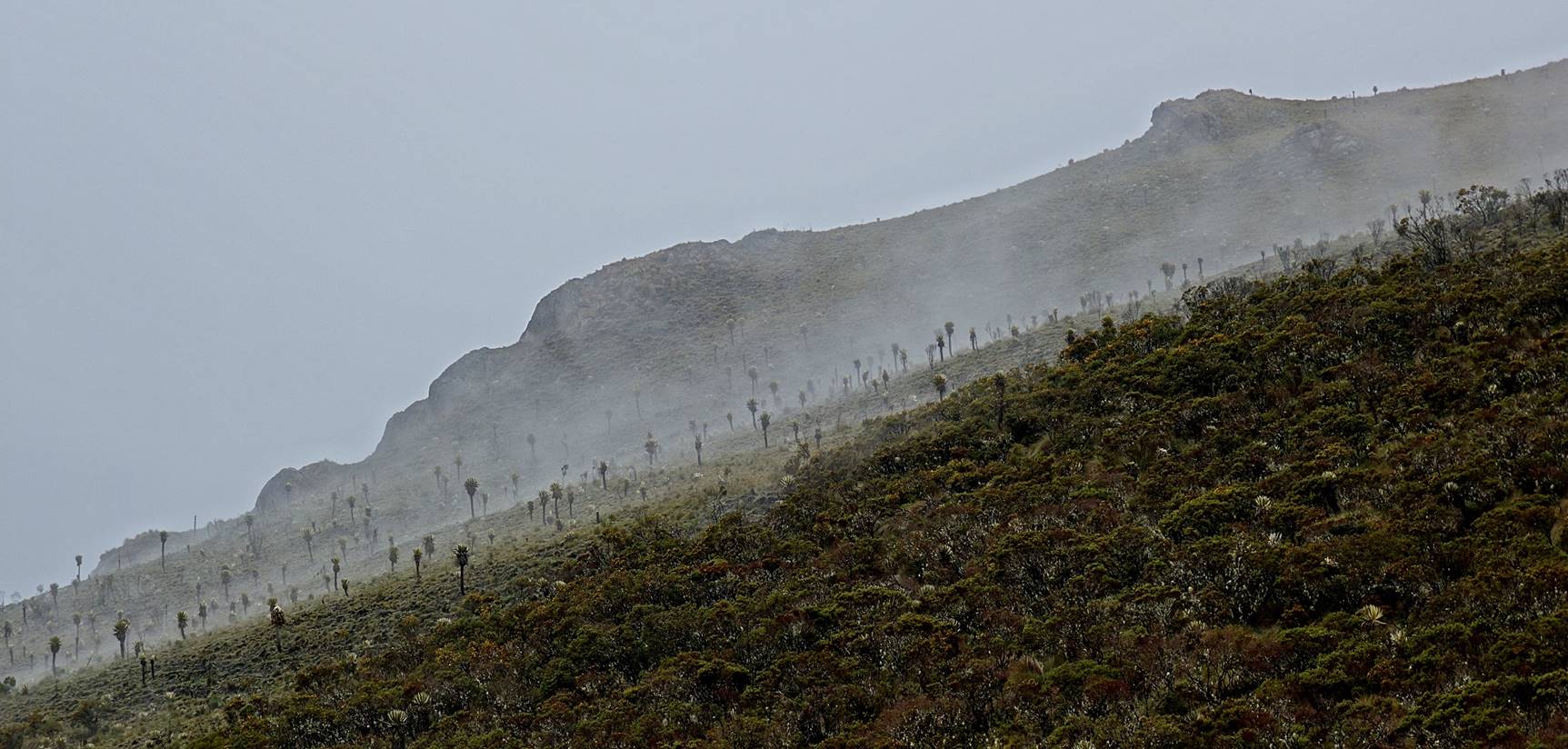
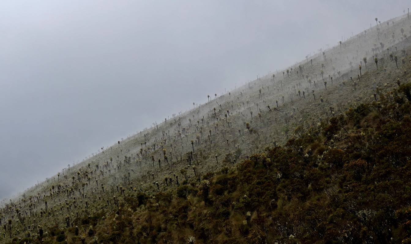
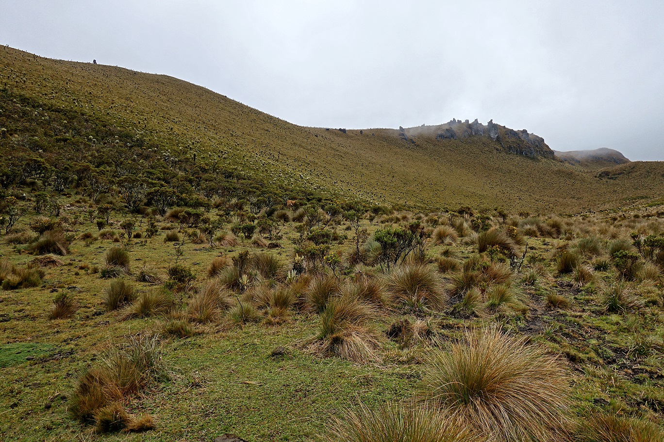
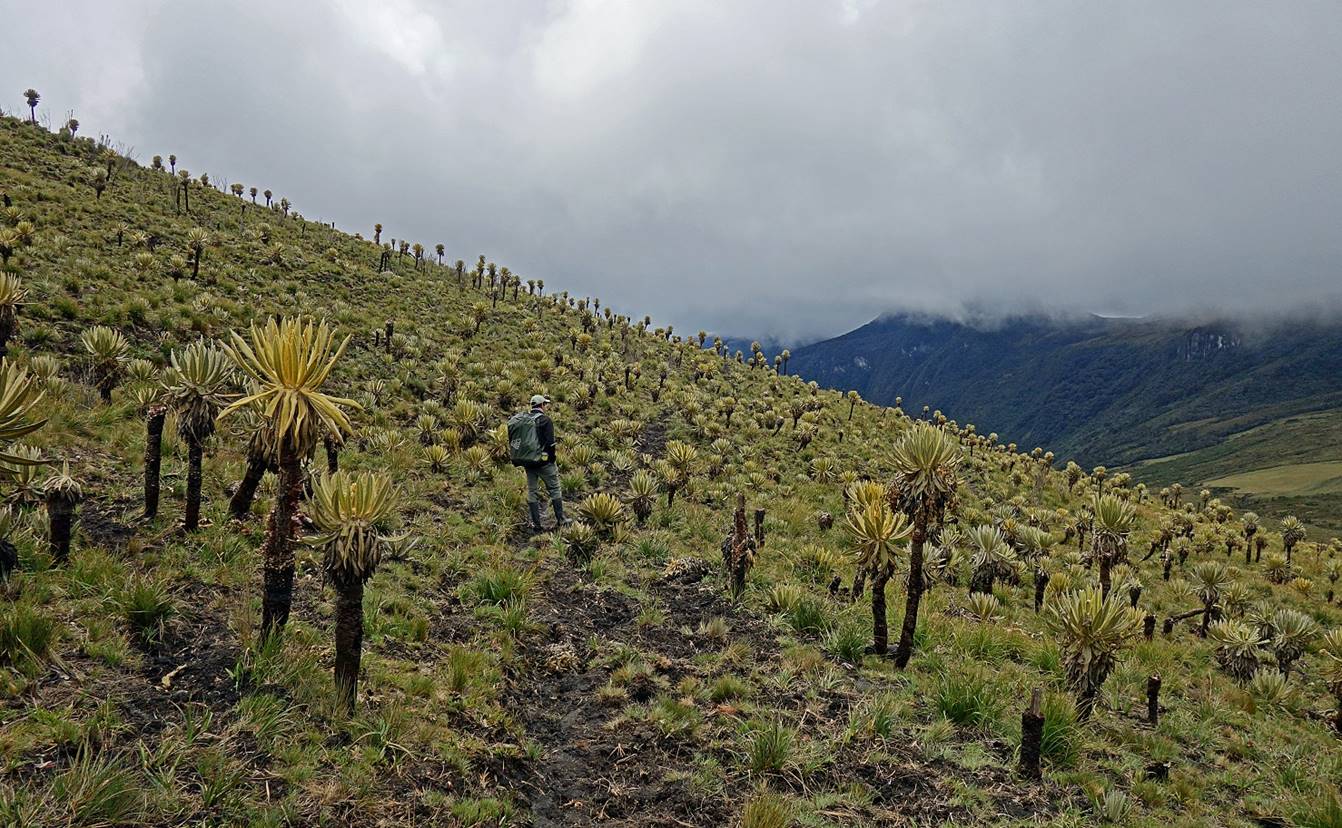
First encounter with frailejones (a.k.a. espeletia). Unlike cactus, this similar-looking plant is dry. It captures water from air moisture in its spongy trunk, which passes it into the ground, helping to create subterranean water deposits. It grows slowly (about one centimeter per year). Some individuals live several hundred years and grow tall.
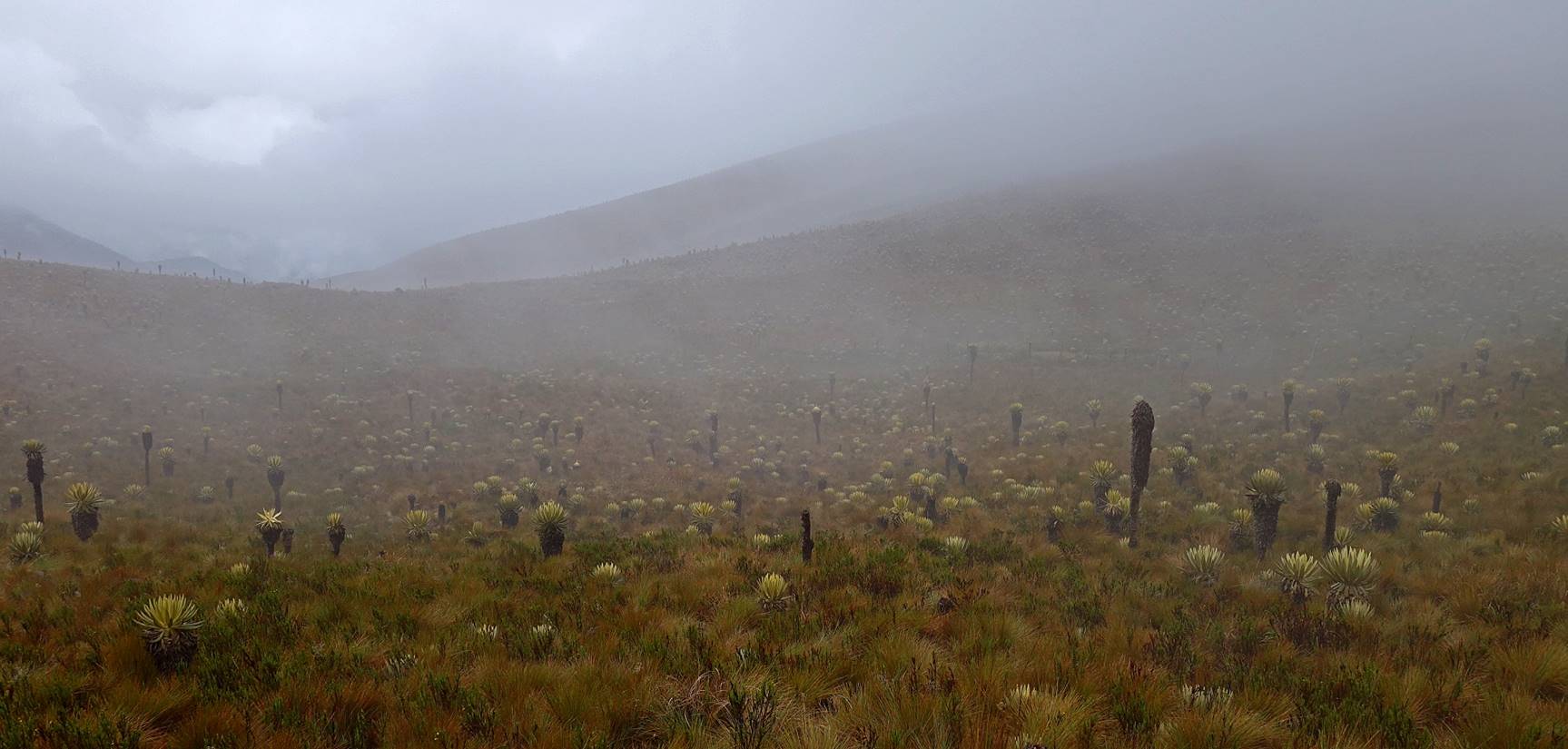
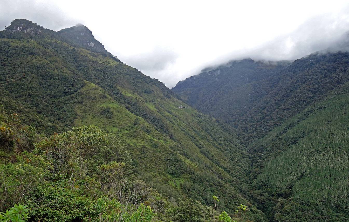
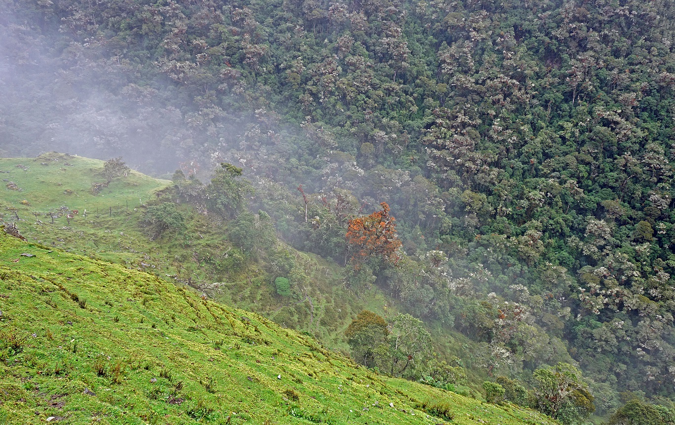
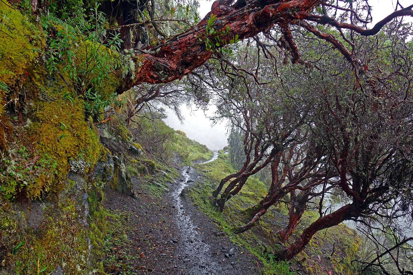
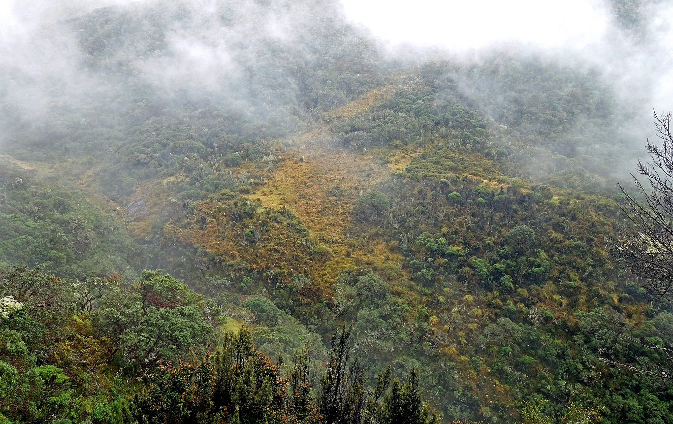
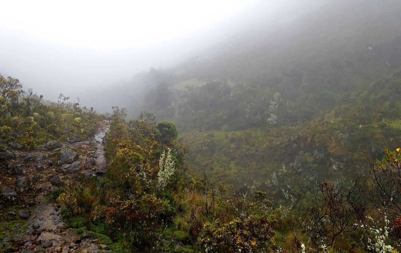
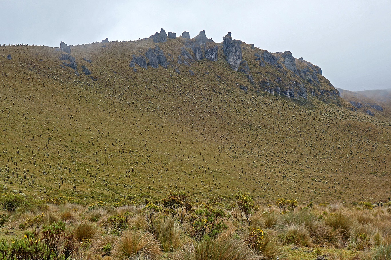
Here, wind was pushing up moisture from lower elevation, creating this eerie scenery.
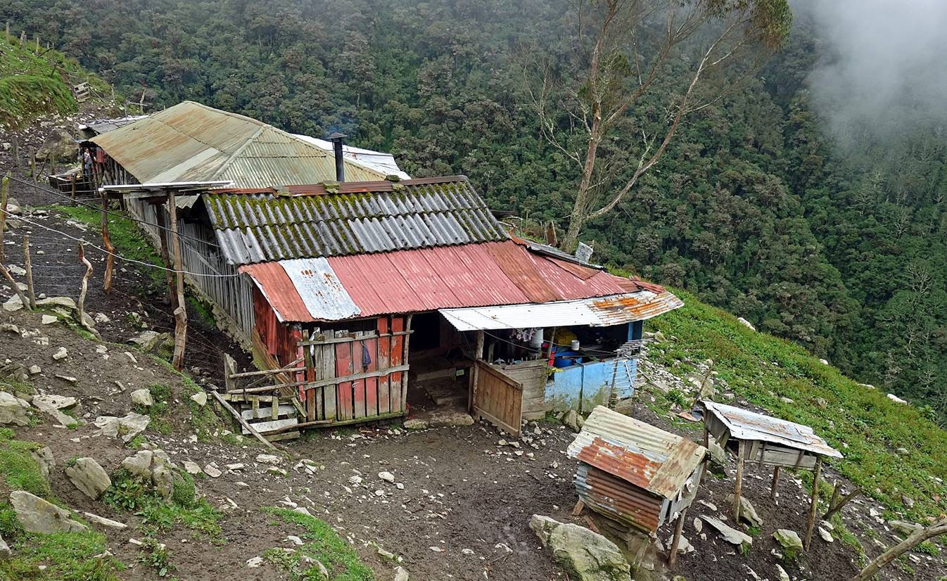
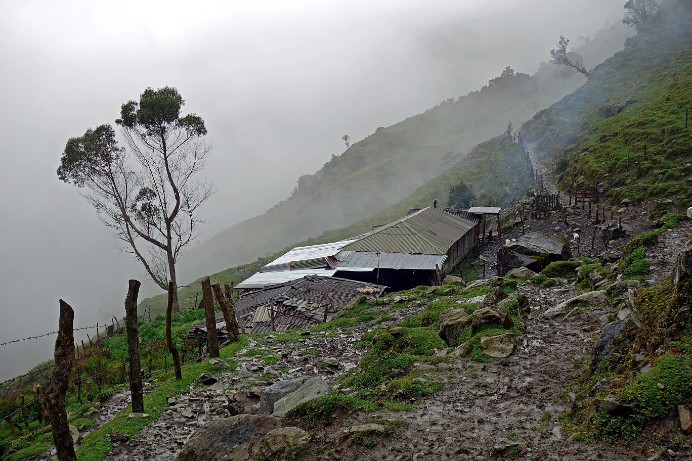
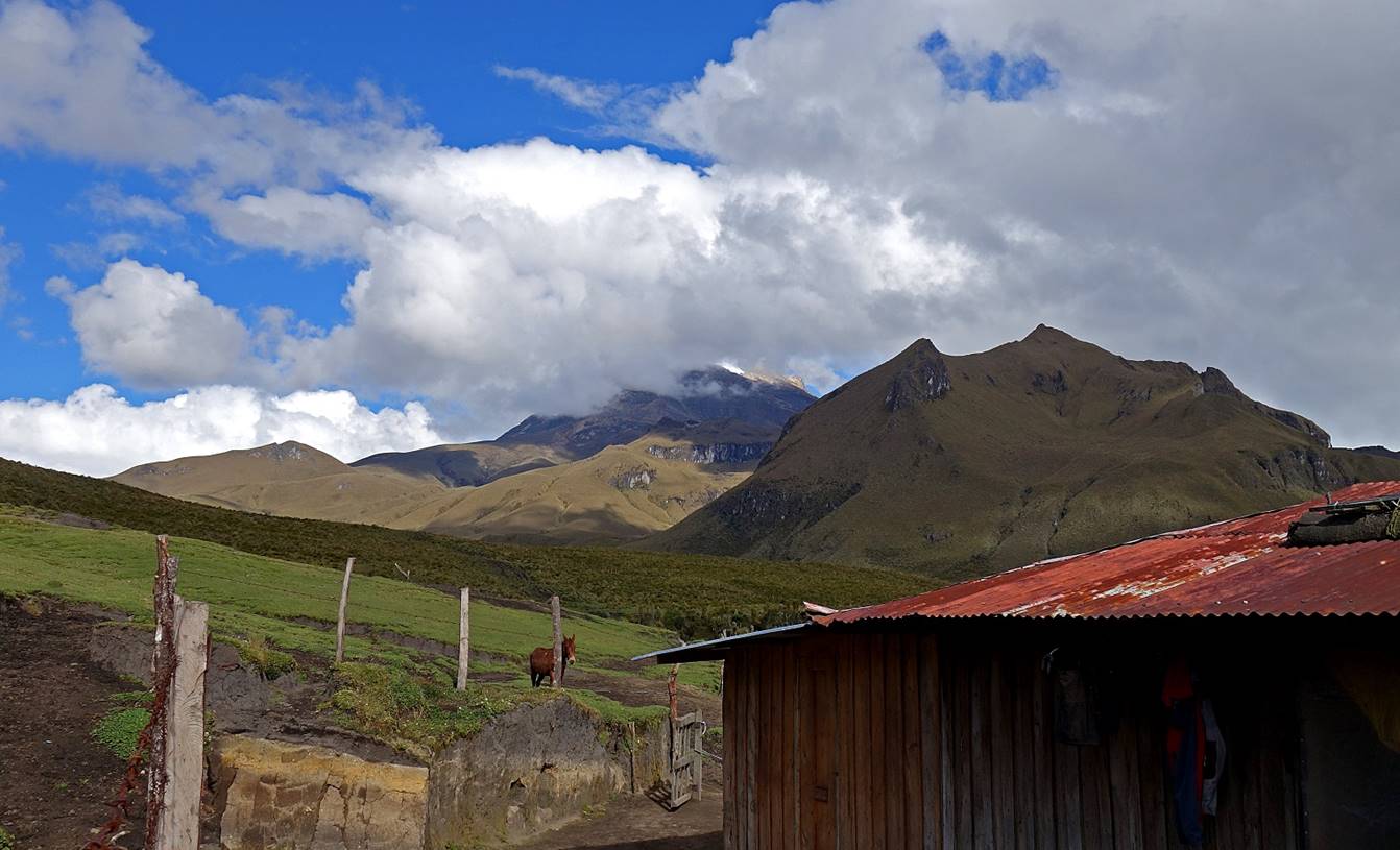
Reaching Finca La Playa (pero sin playa!) at waypoint 08, where we spent our second night.
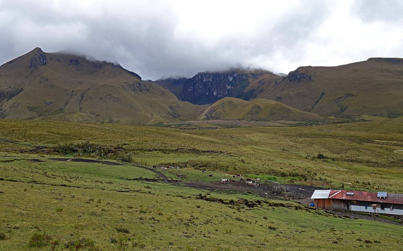
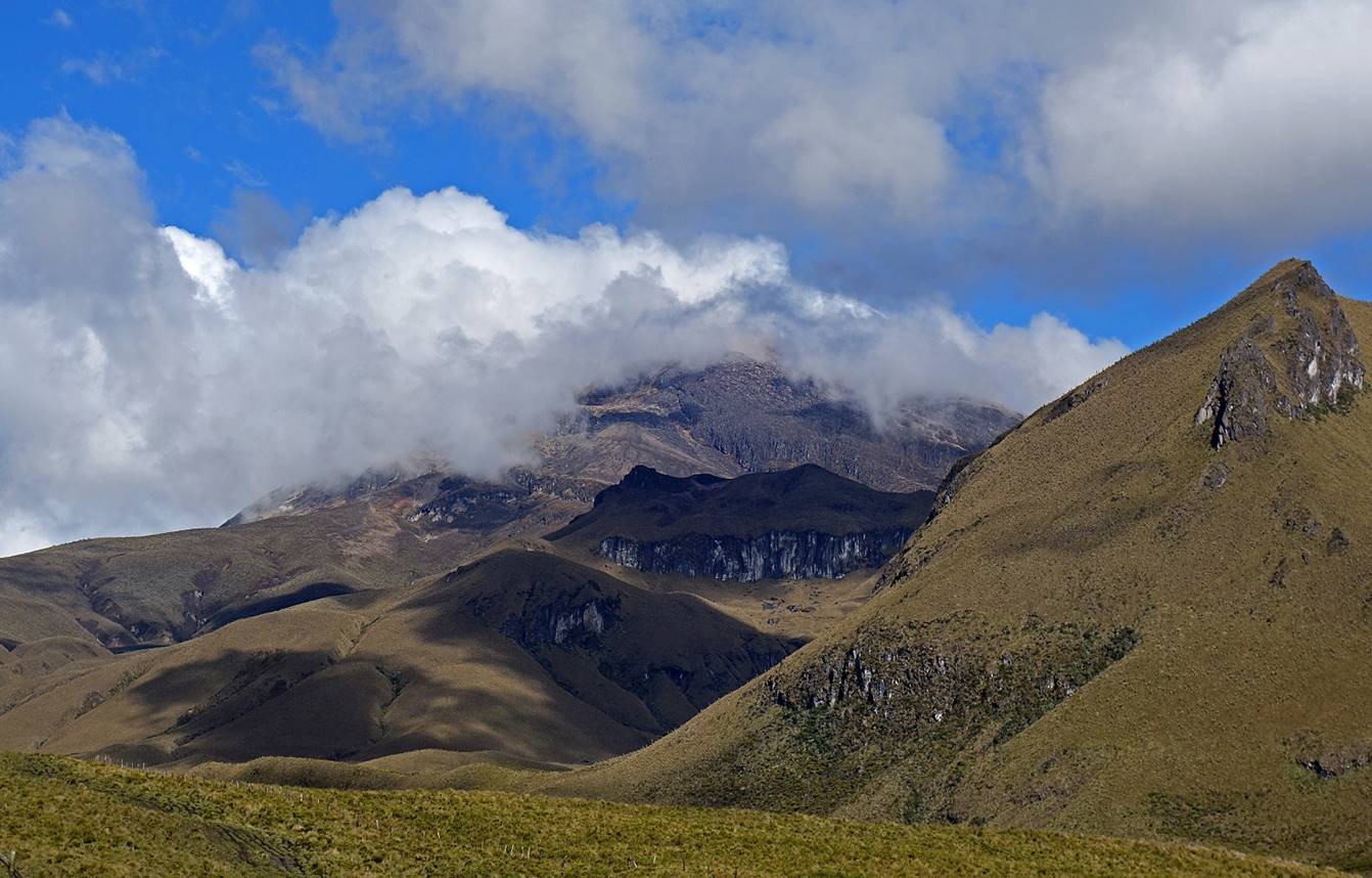
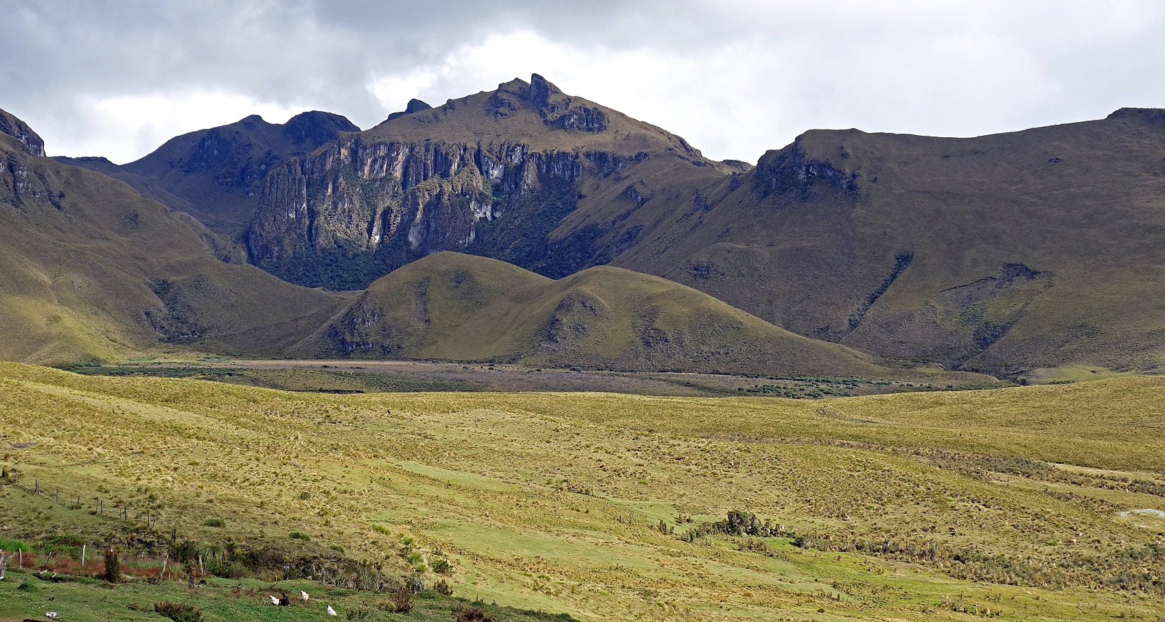
Nevado del Tolima, a stratovolcano, seen from the finca. At 5215m the glaciated summit is hidden in the cloud. Only a little bit of snow is visible in the second photo below.
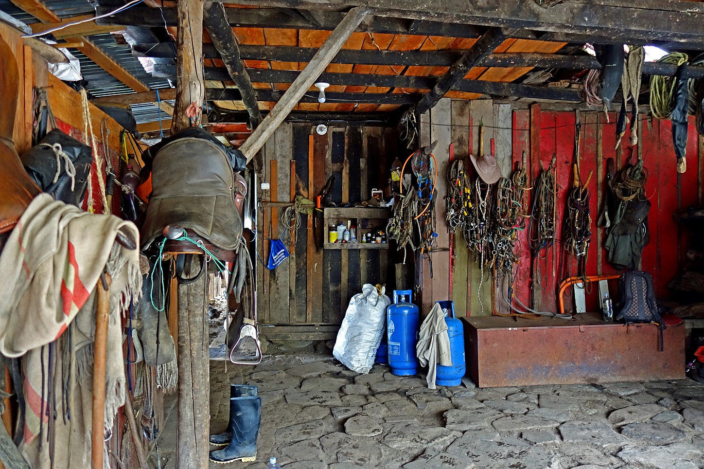
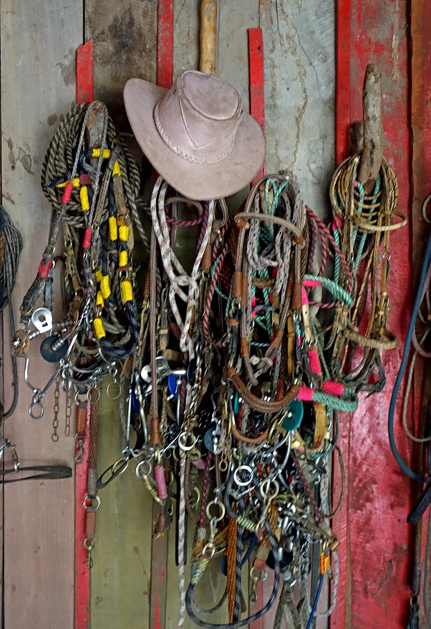
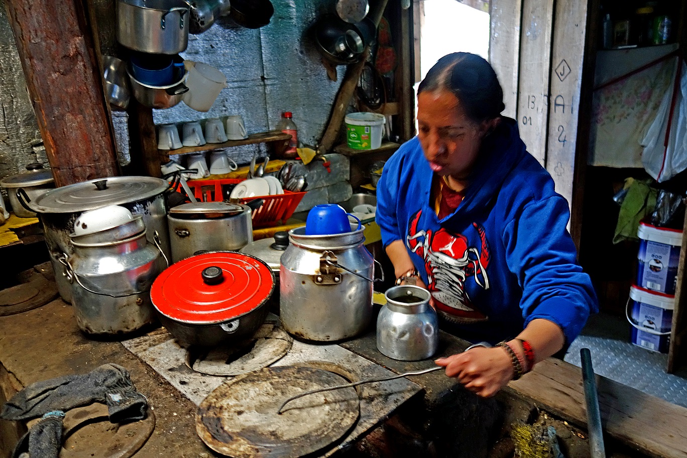
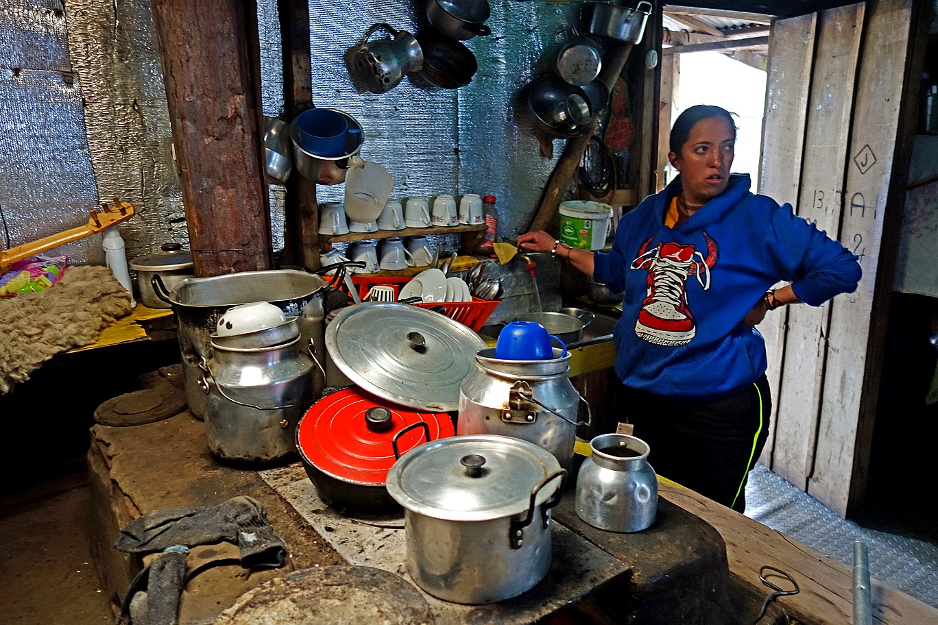
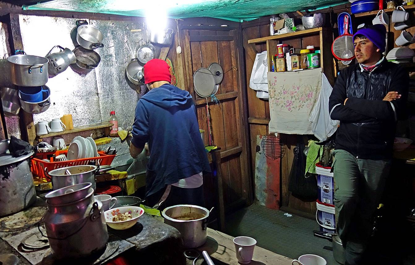
In the finca′s kitchen.
![]()
Return to main Los Nevados trek page | Return to main Colombia 2018 page