Colombia (February-March 2018): Across PNN Los Nevados, from Salento to Santa Isabel de Tolima
Part 2: From Finca La Playa to Santa Isabel de Tolima
![]()
Return to main Los Nevados trek page | Return to main Colombia 2018 page
Map:
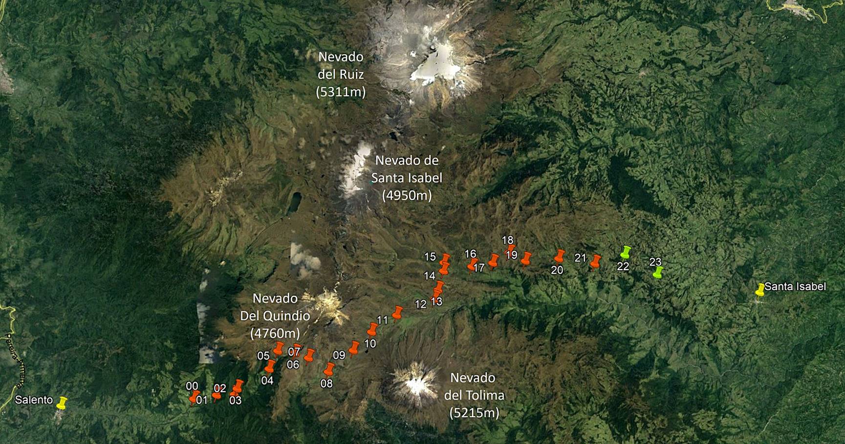
[Reminder: Click here (.kmz file) to access the waypoints in Google Earth.]
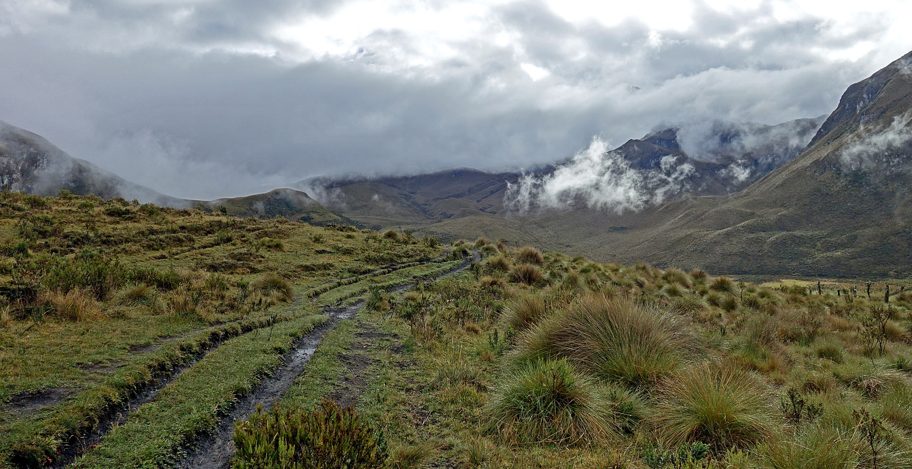
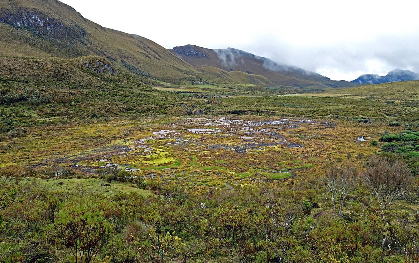
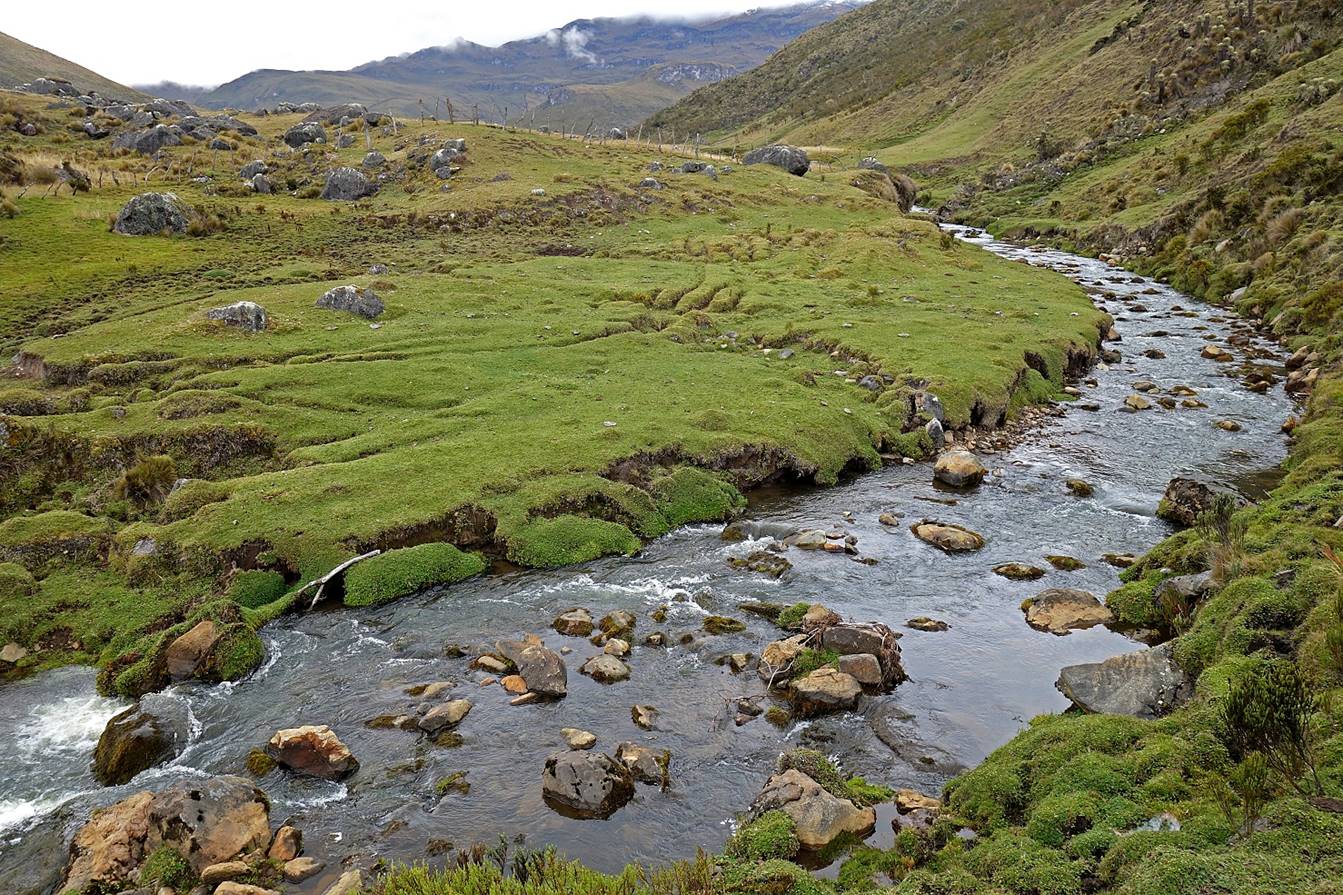
Day 3 of trek: From Finca La Playa (waypoint 08) to Finca El Aguila (waypoint 15).

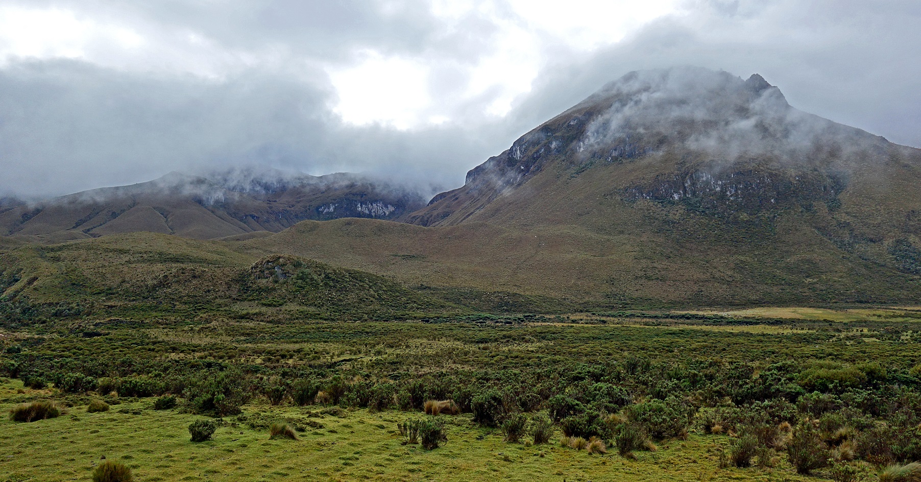
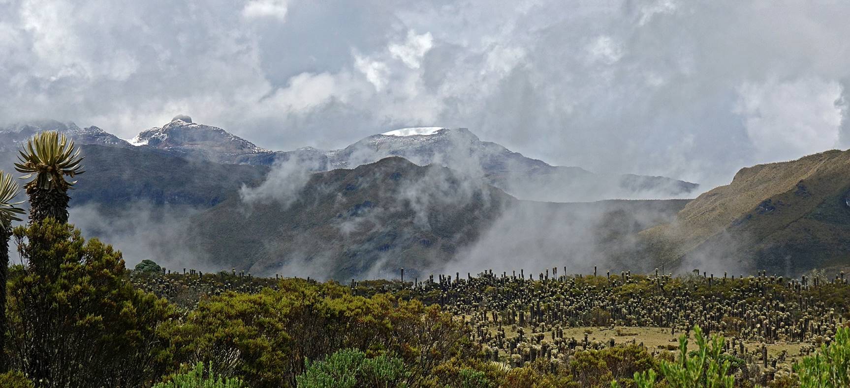
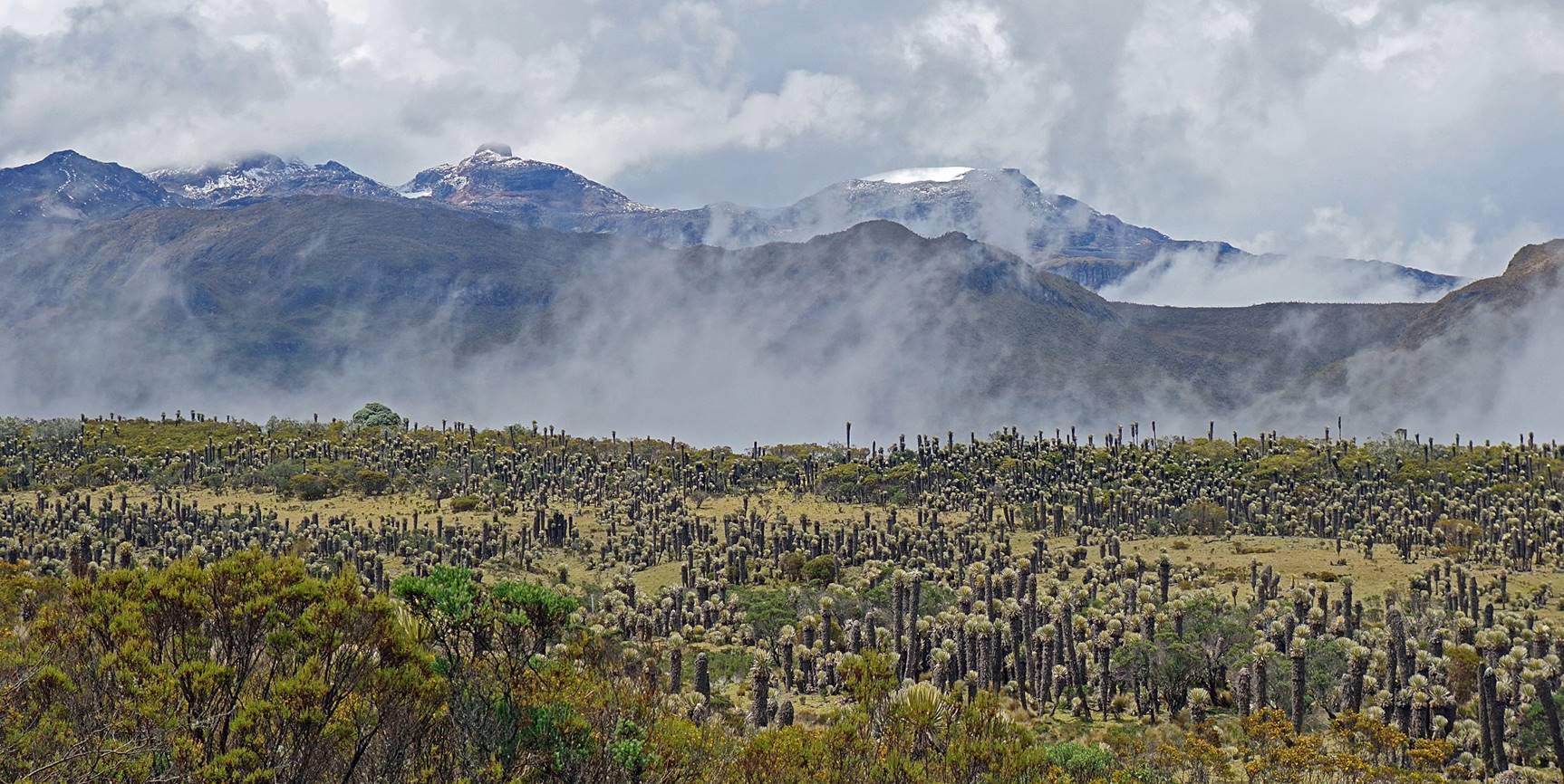
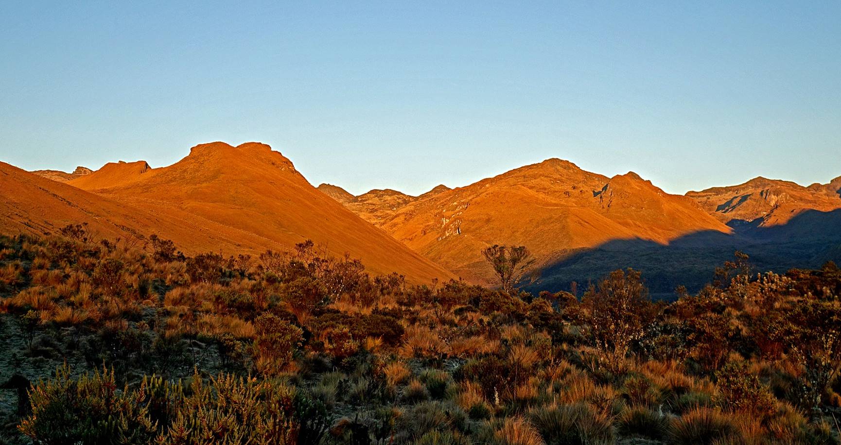
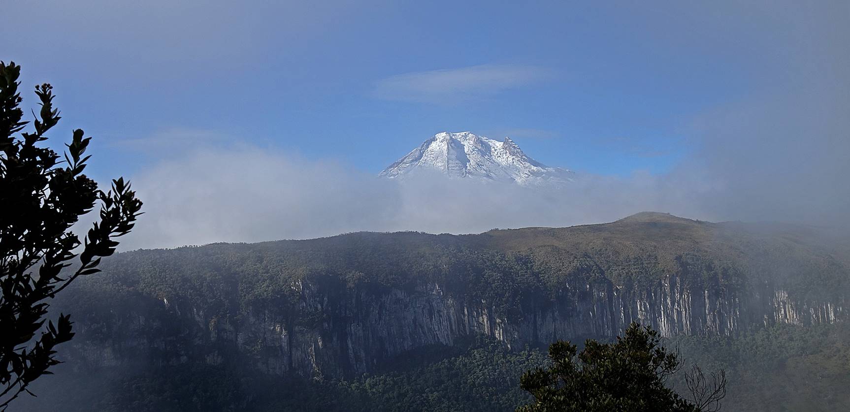
Nevado del Quindio with some fresh snow in the background.
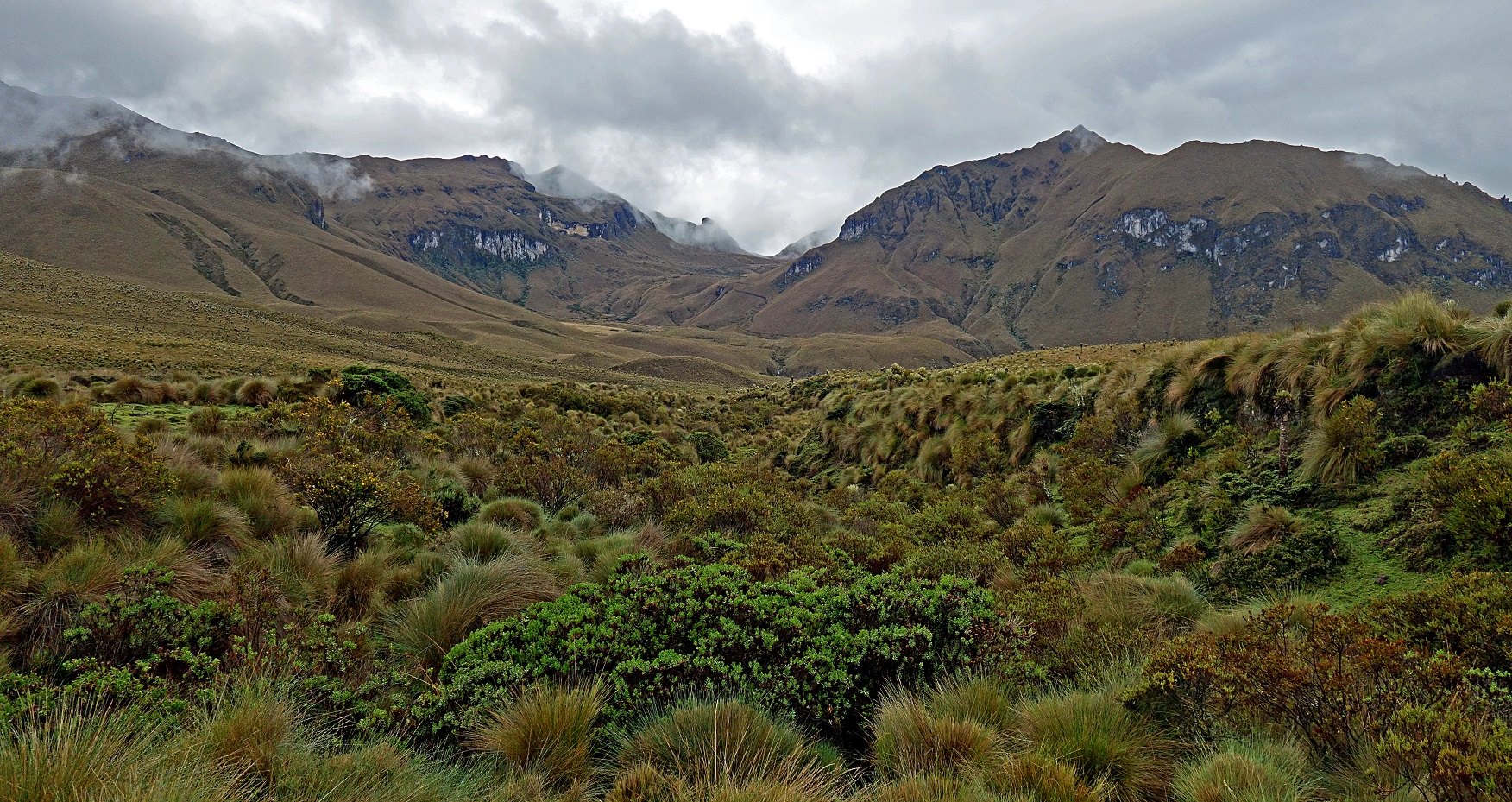
Nevado del Quindio (4760m) seen from the upper valley del Placer.
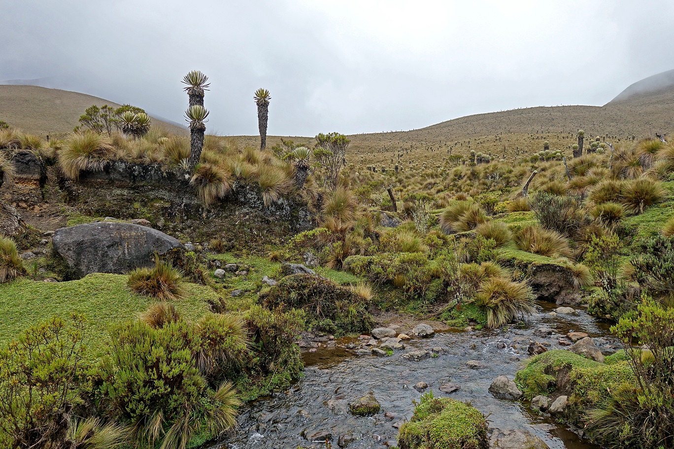
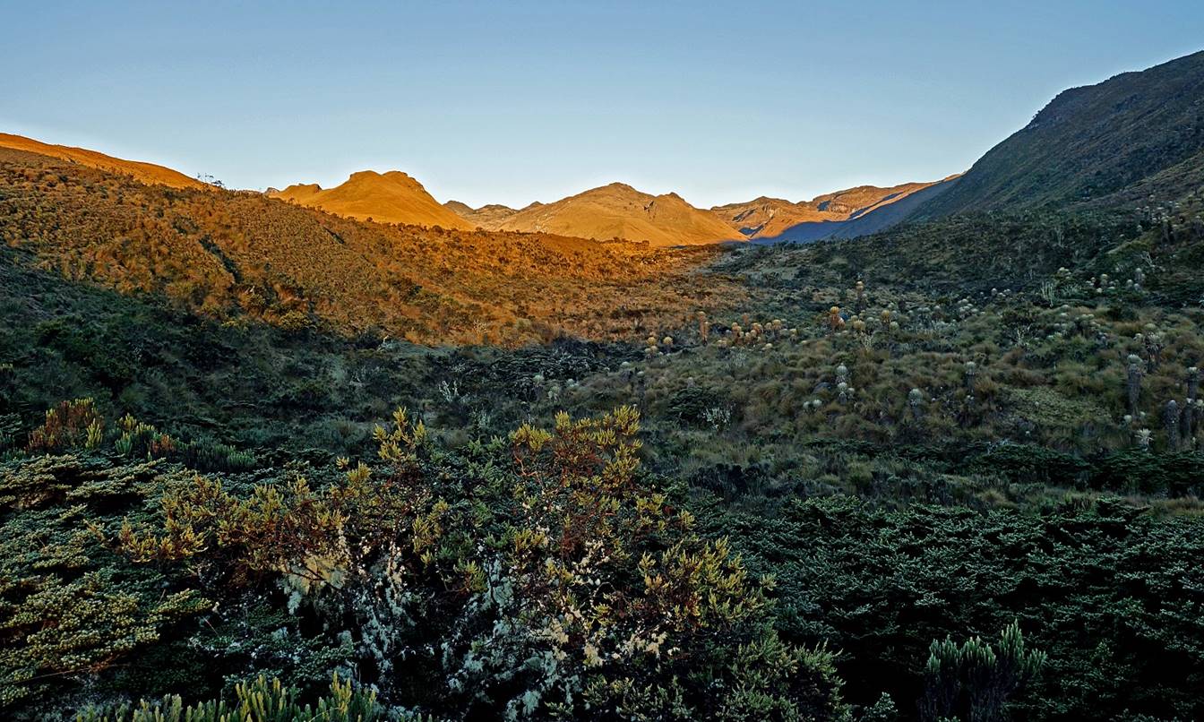
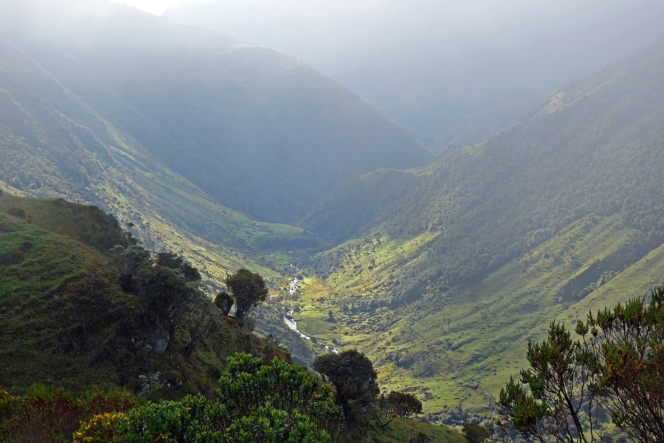
In the valley del Placer.
Finca Agua Blanca (we did not stop at that finca) in the valley of Quebrada Agua Blanca.
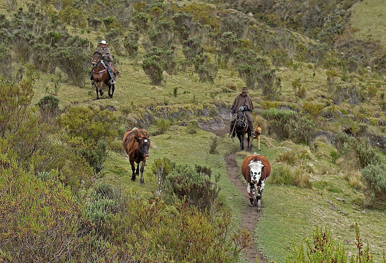
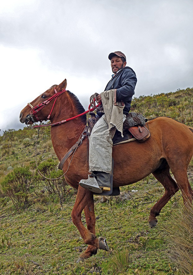
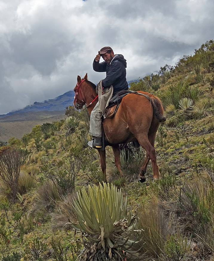
Friendly man from Finca La Playa. He had brought his daughter to a school about 20km away from his finca and was on his way back. His daughter returns to the finca once every two weeks.
|
|
|
|
|
|
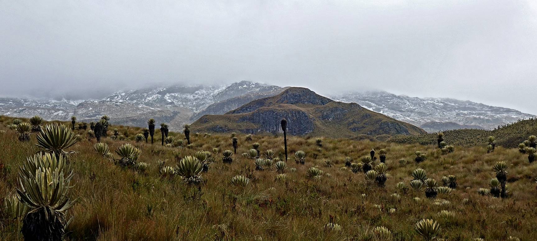
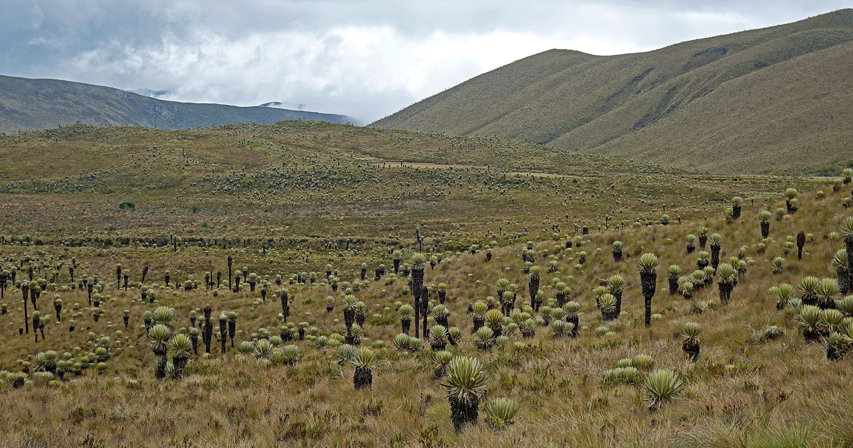
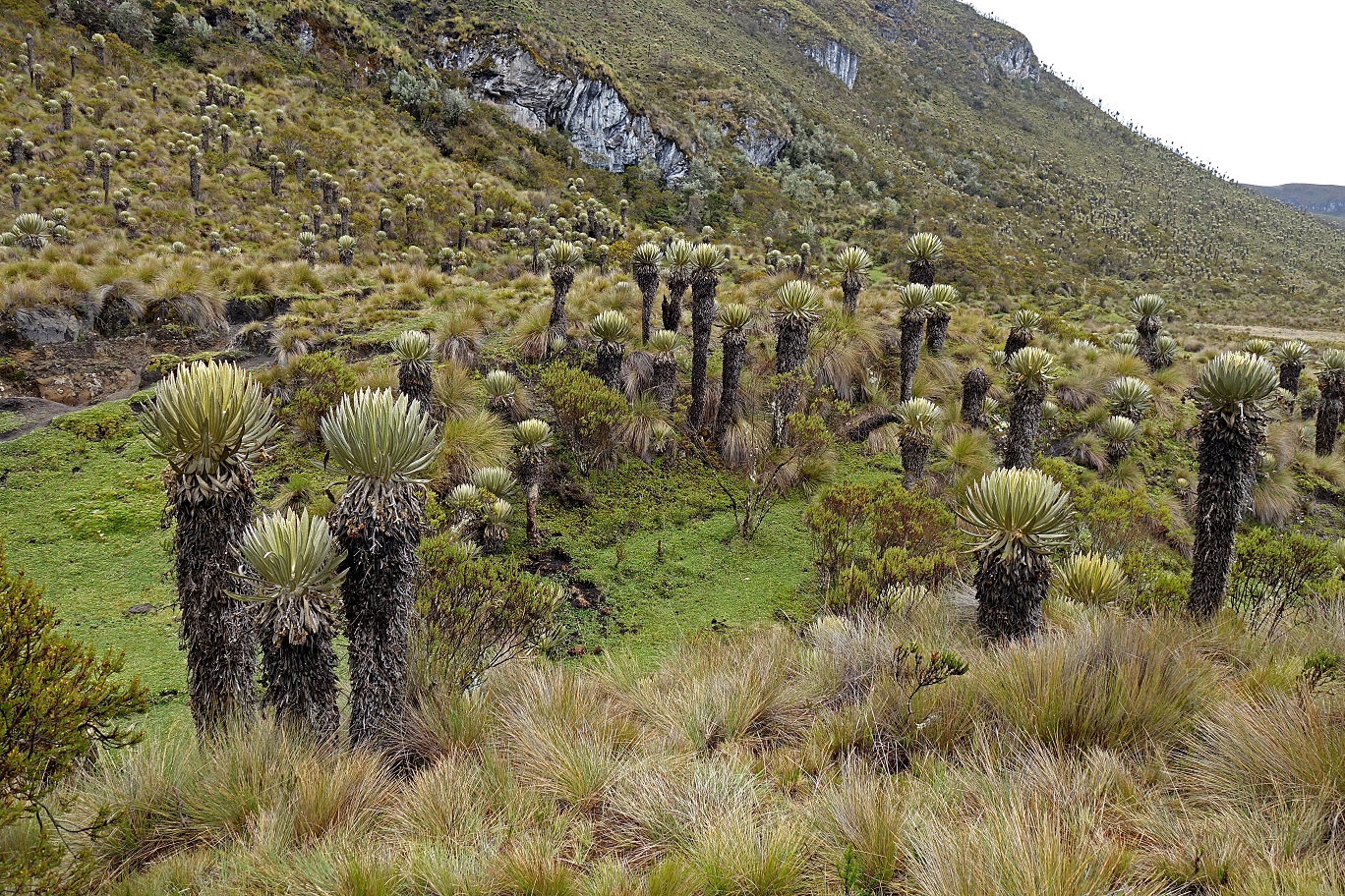
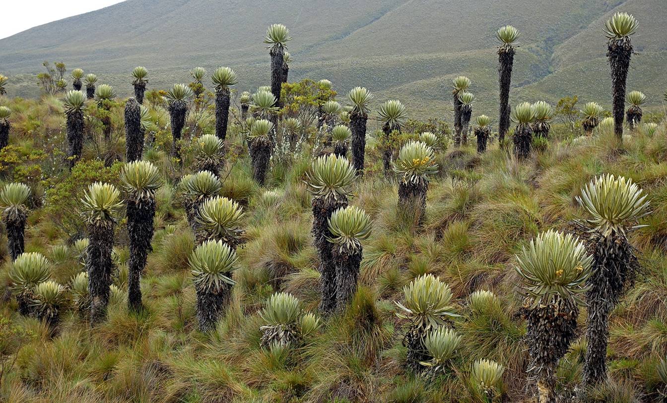
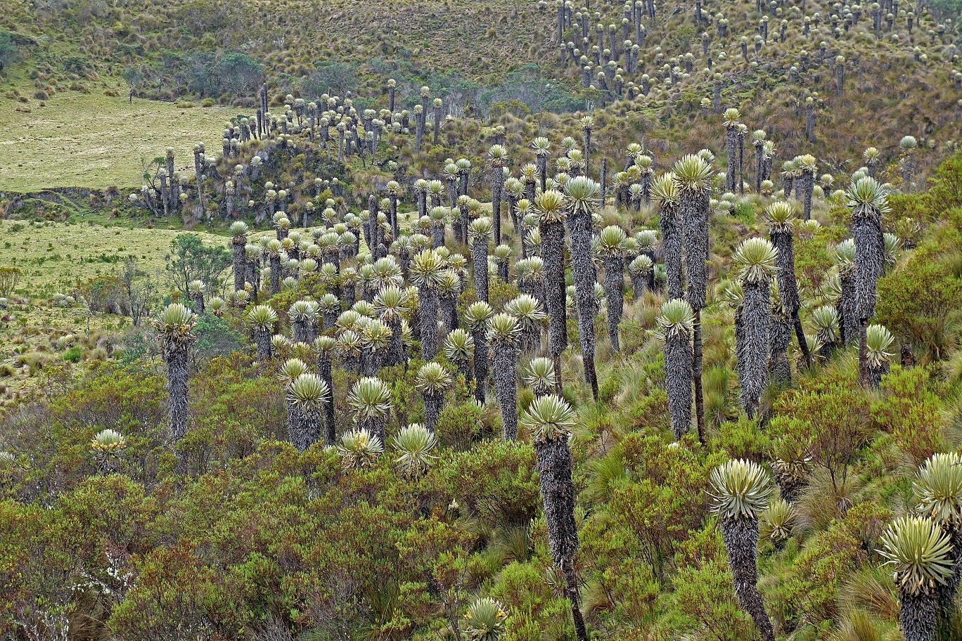
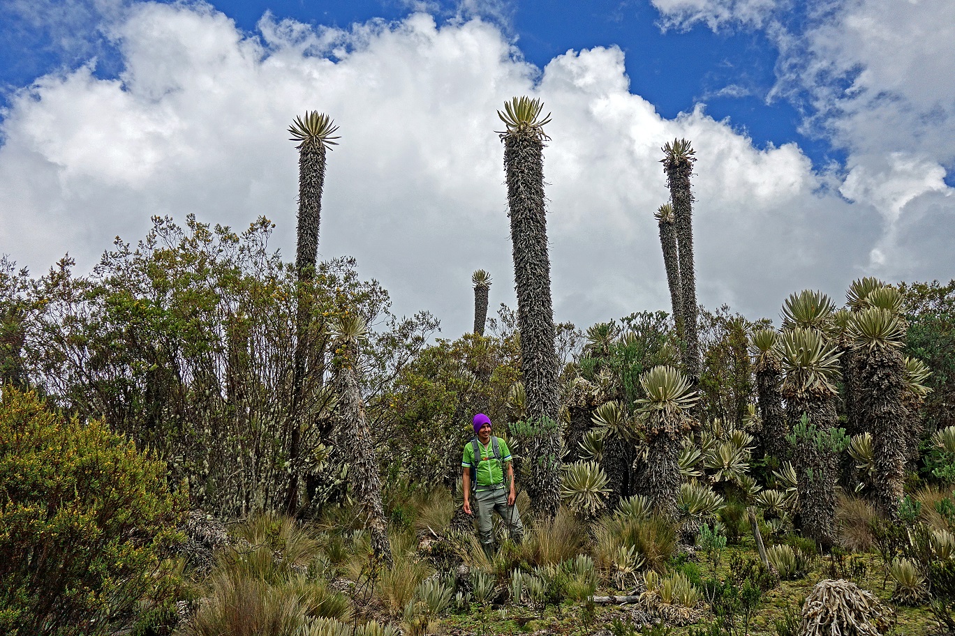
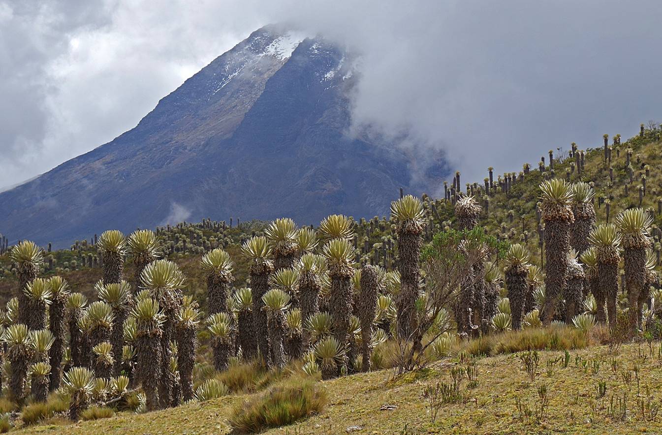
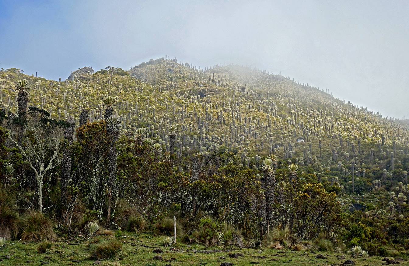
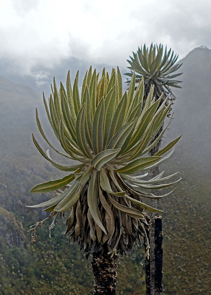
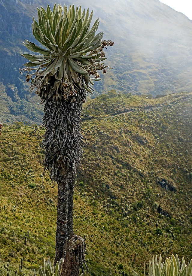
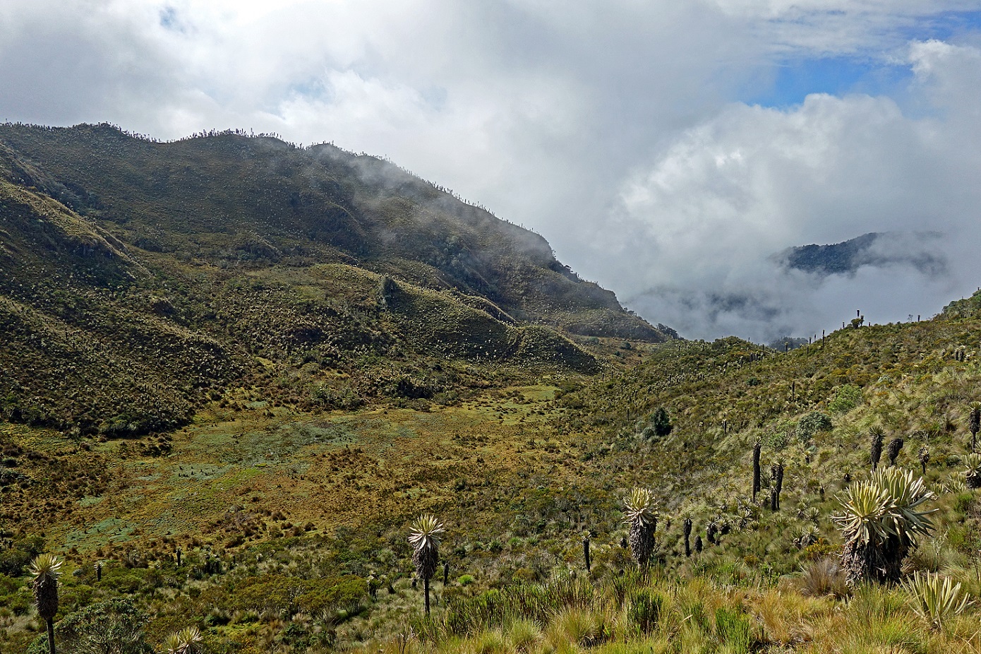
Christian standing in front of high frailejones. Since they grow at a rate of about one centimeter per year, some of these fraijelones might be more than 500 years old.
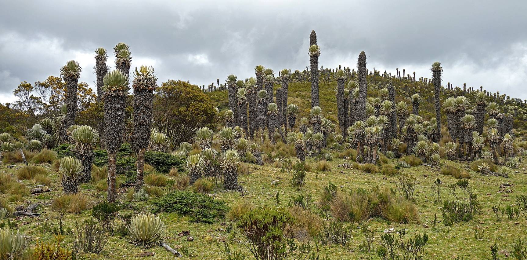
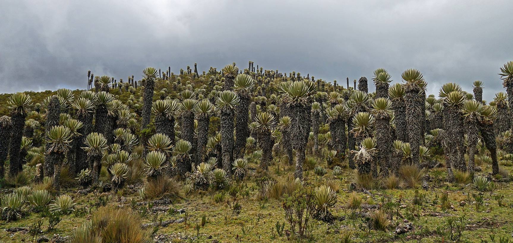
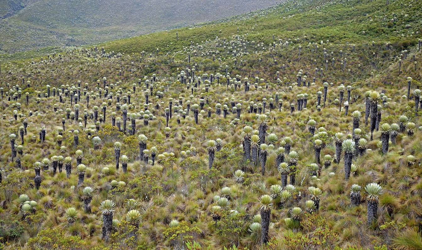
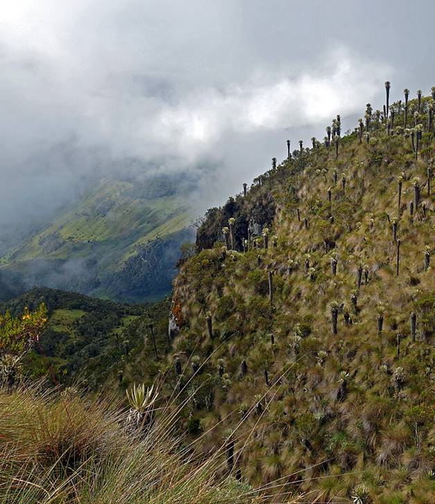
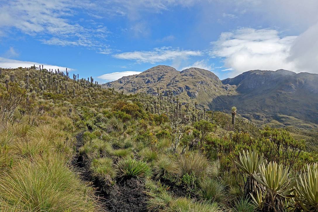
Dense forests of frailejones.
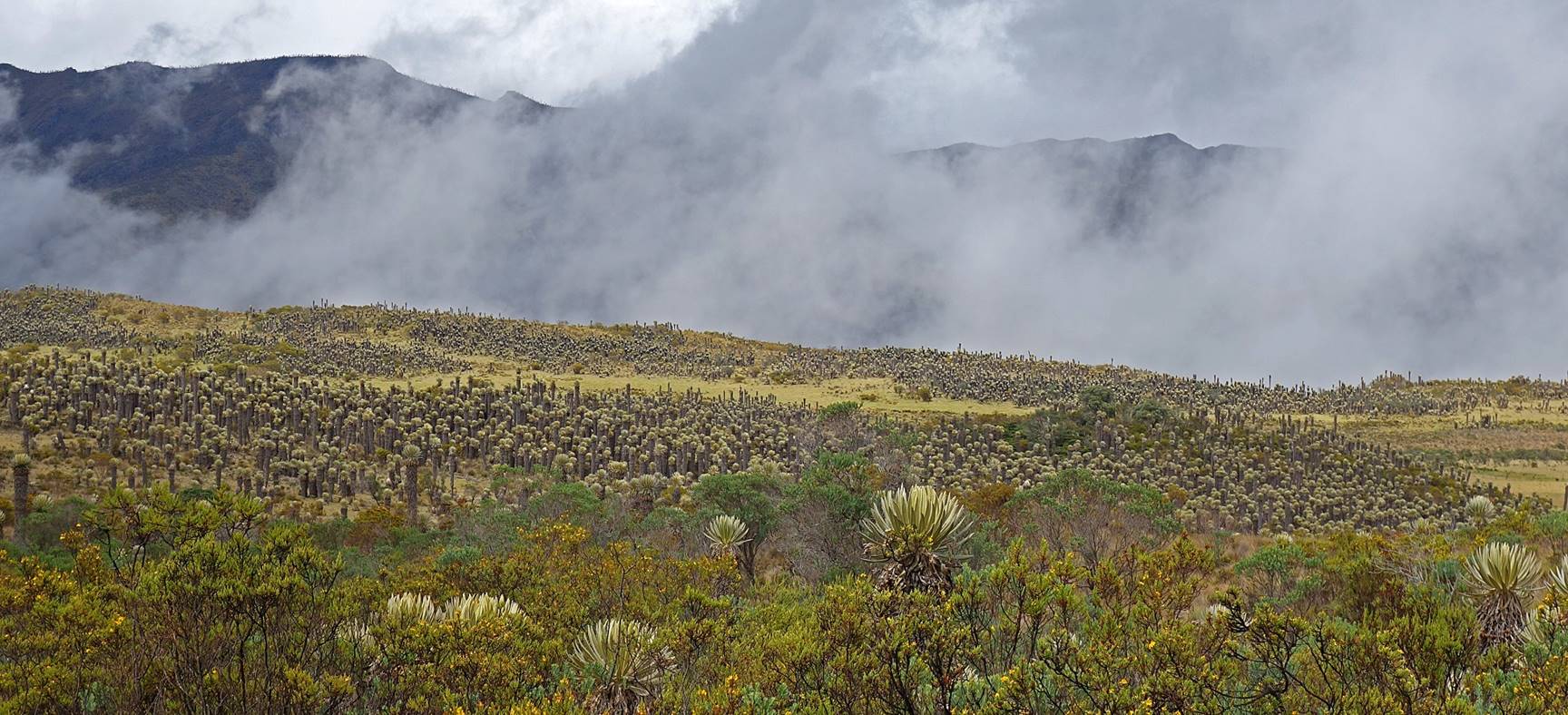
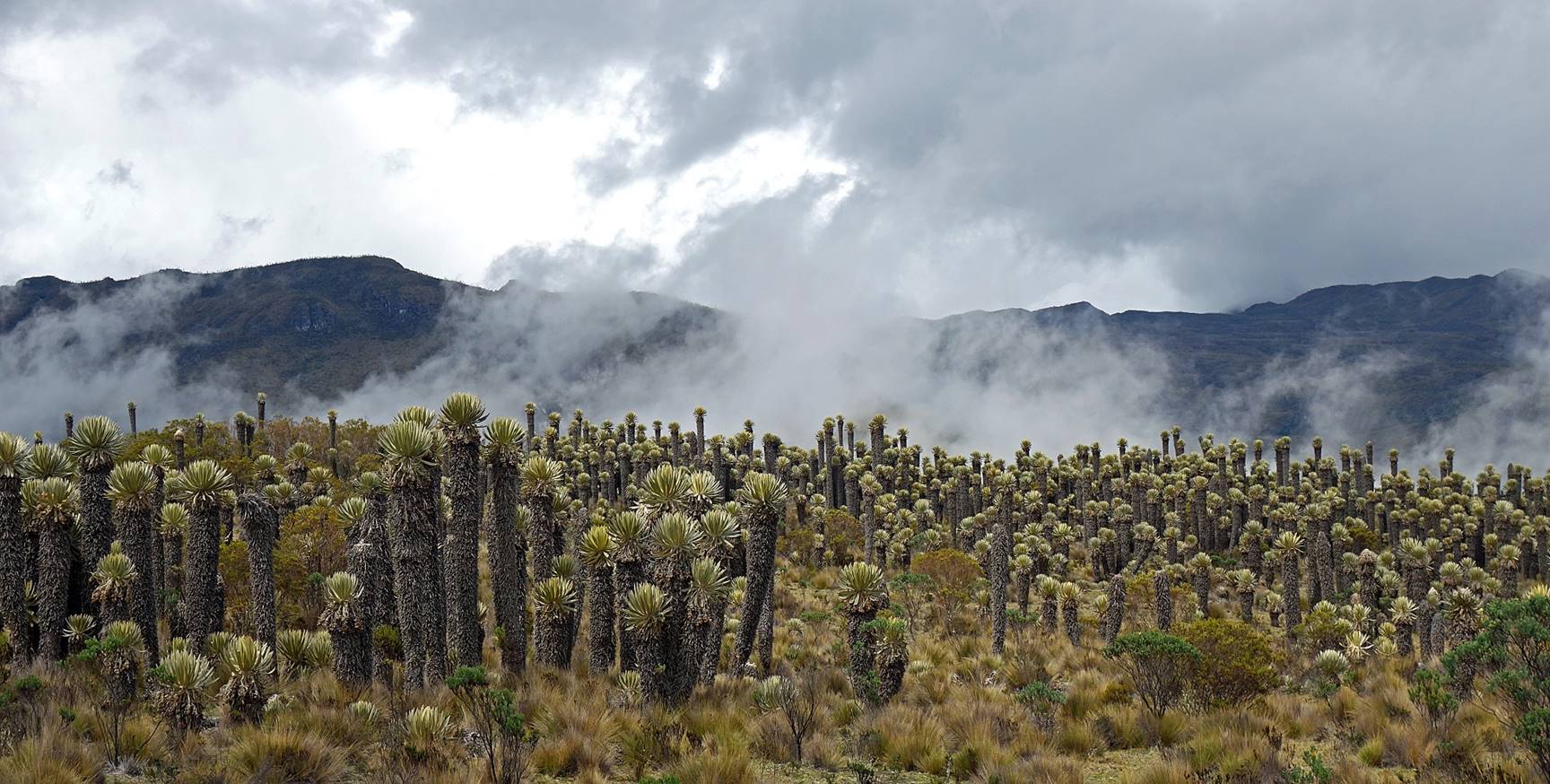
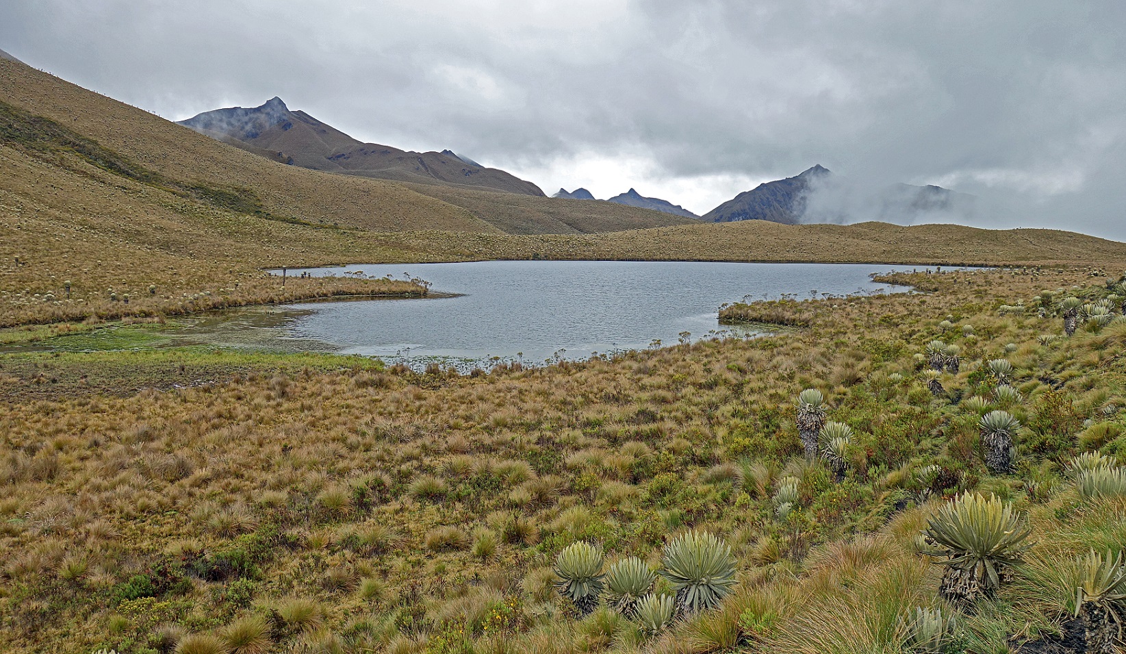
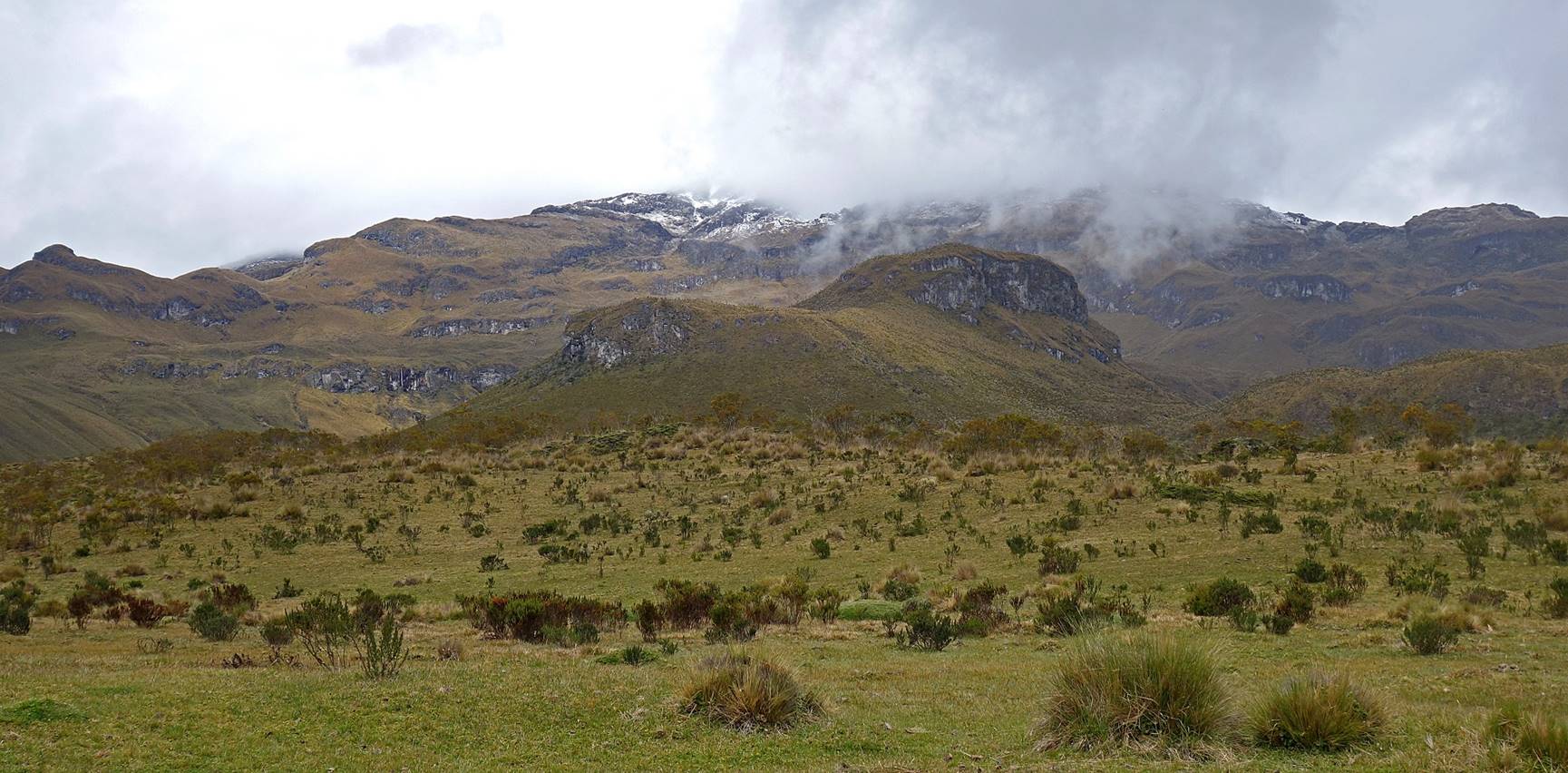
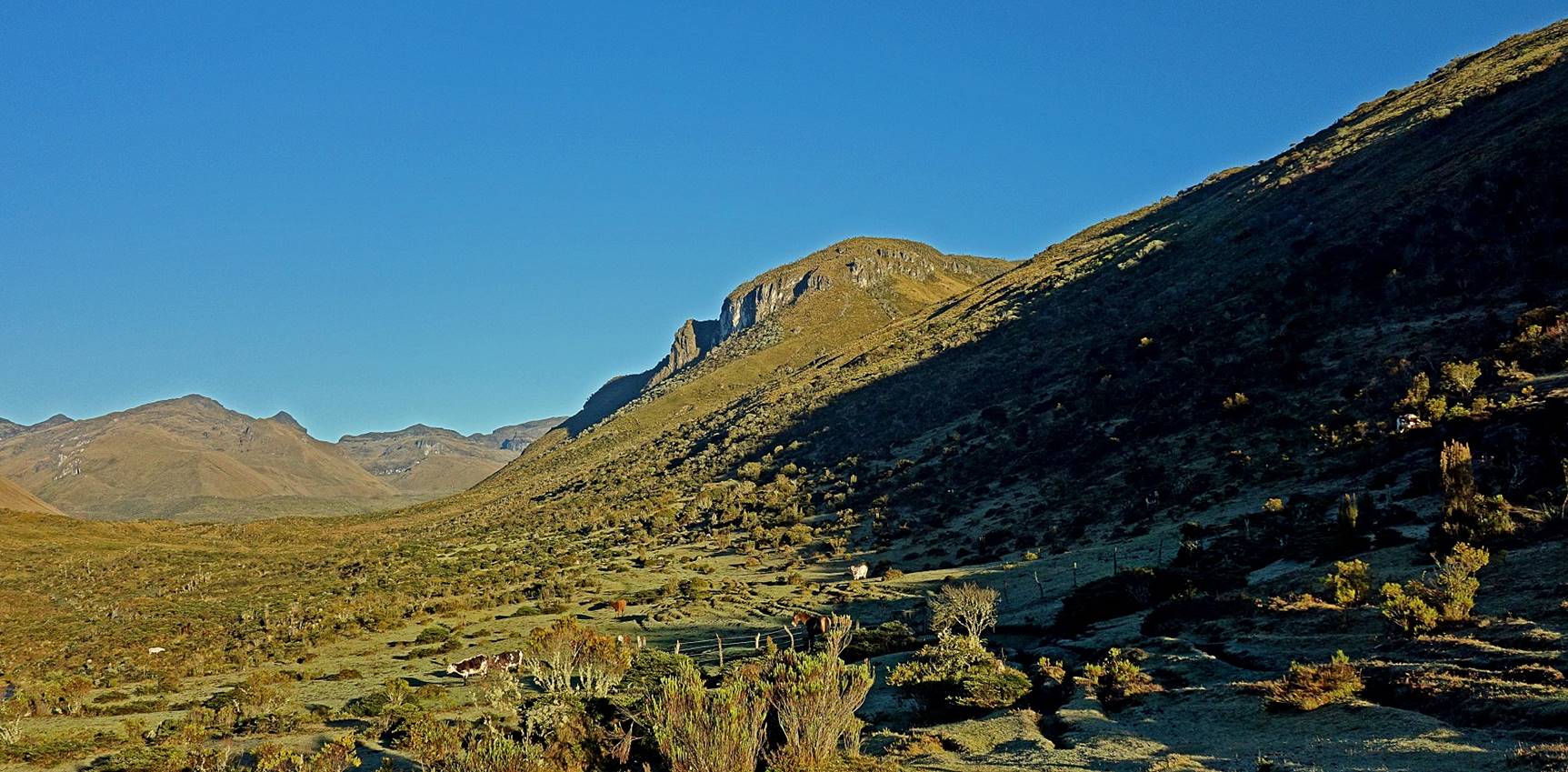
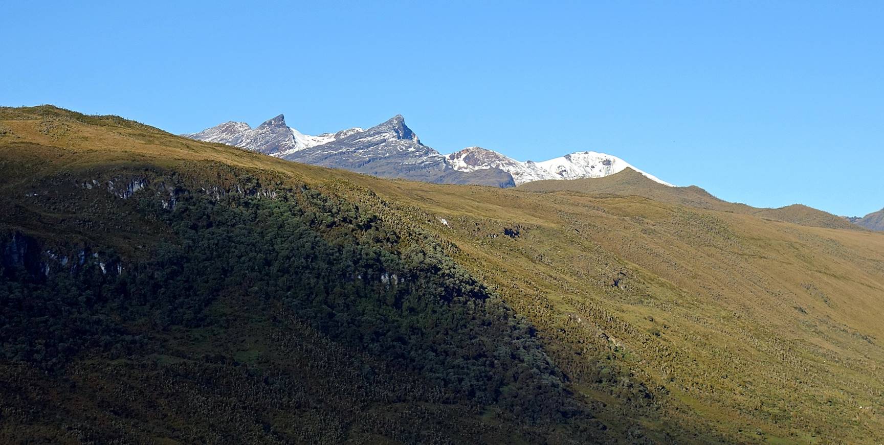
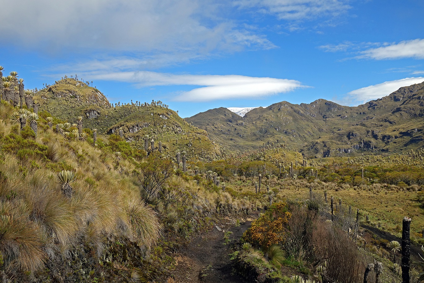
In the three photos below Nevado de Santa Isabel (4950m) is visible in the background.
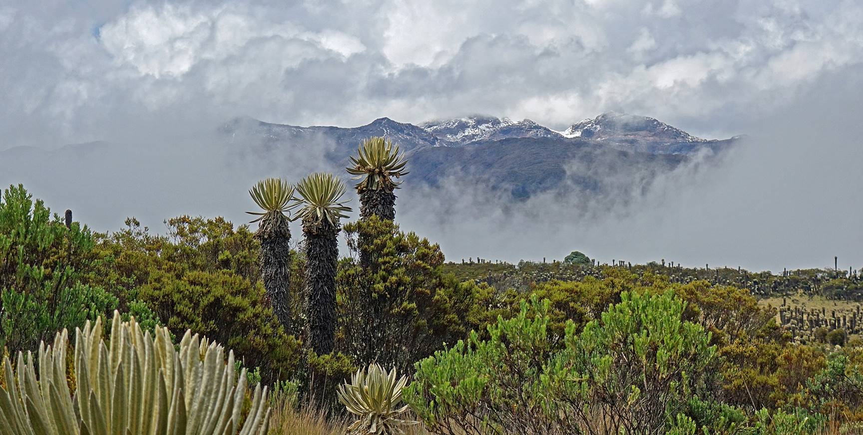

Nevado del Tolima (still in the clouds) in the background.
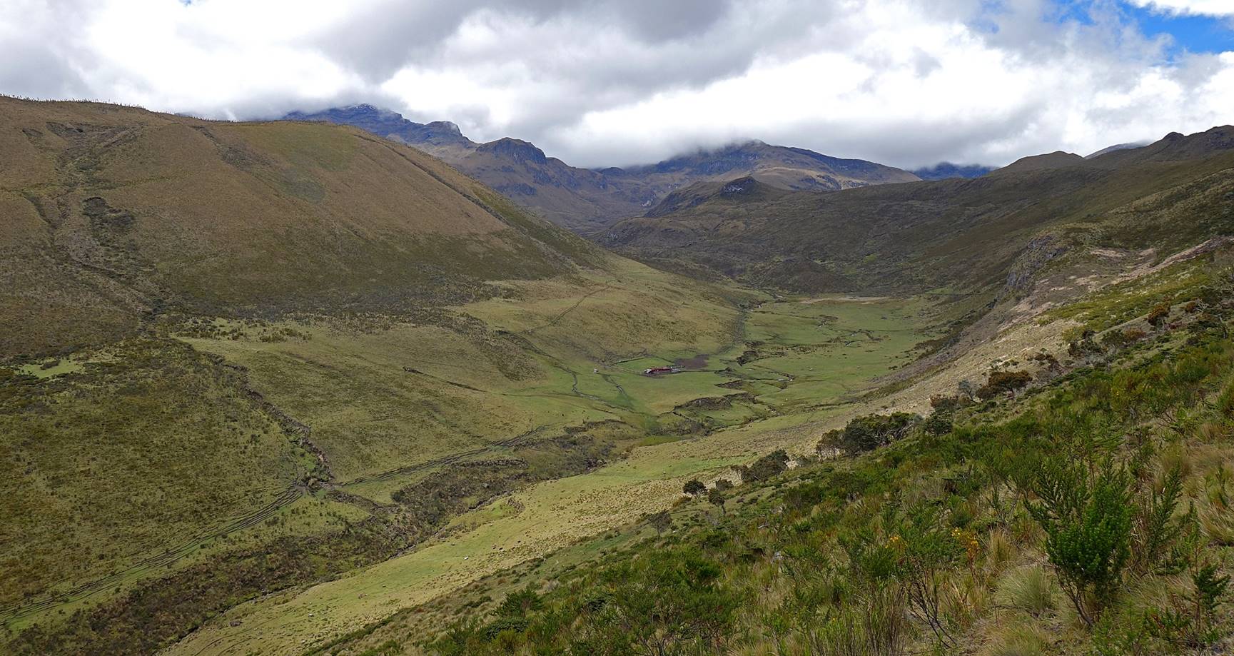
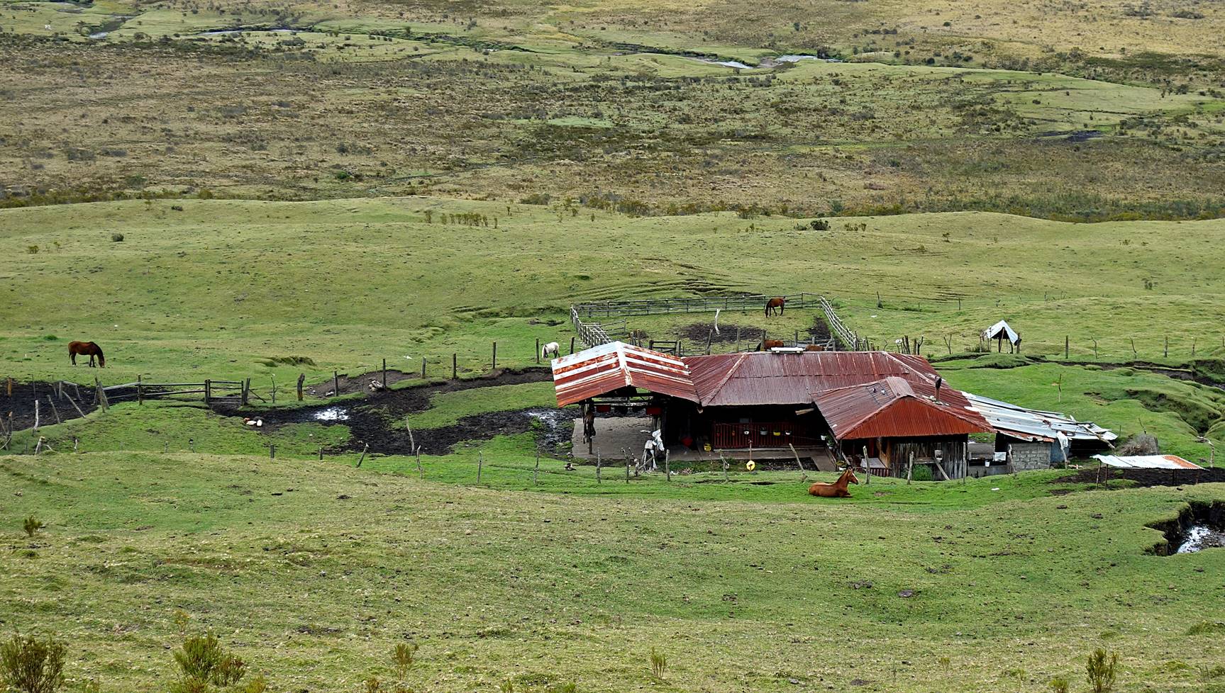
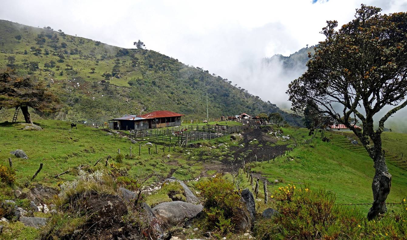
Reaching Finca El Aguila (visible at the bottom right of the picture below) at waypoint 15, where we spent our third night.
|
|
|
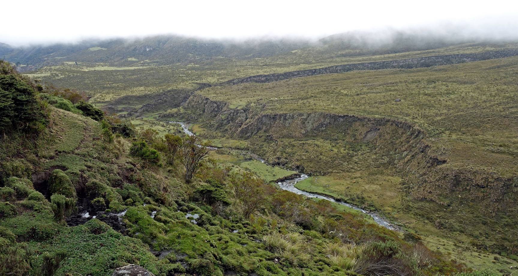
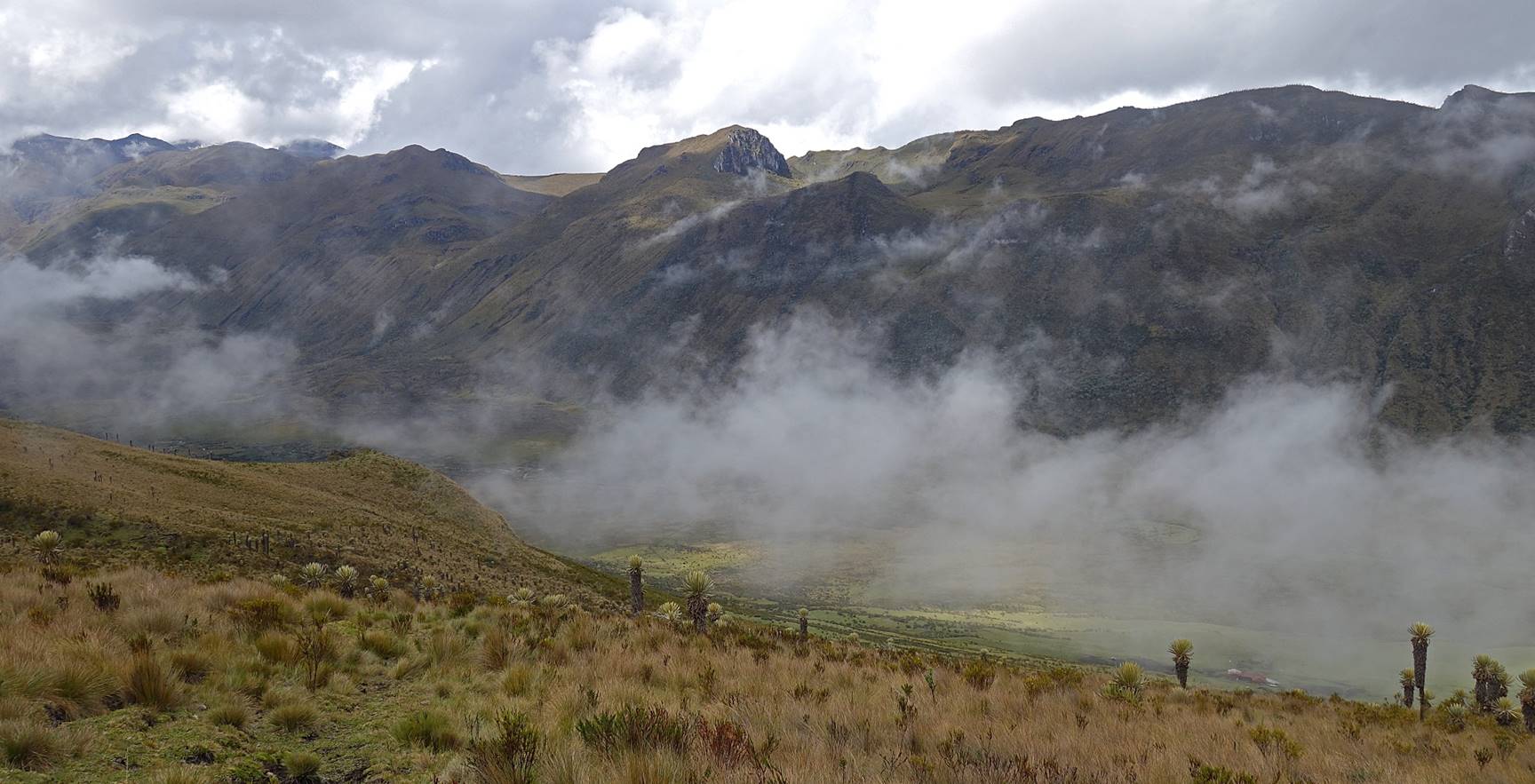
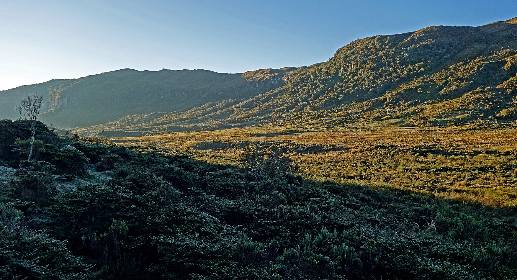
Day 4 of trek: From Finca El Aguila to Santa Isabel de Tolima.
We started the day with blue sky and some frost in the shade, a first on this trek.
Nevado de Santa Isabel rising in the background.
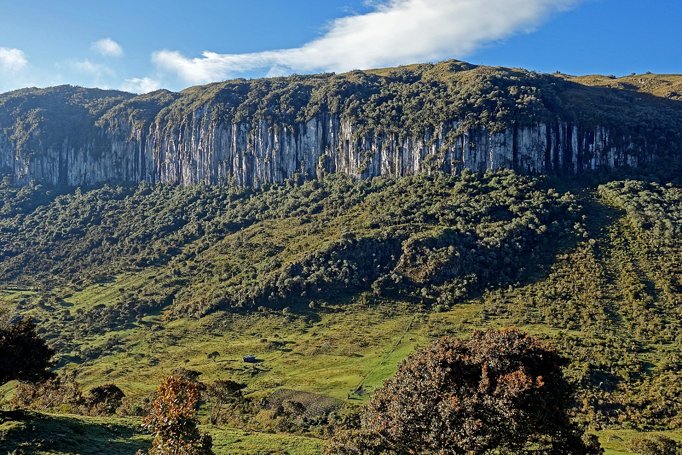
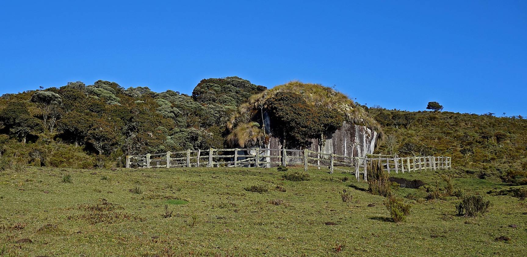
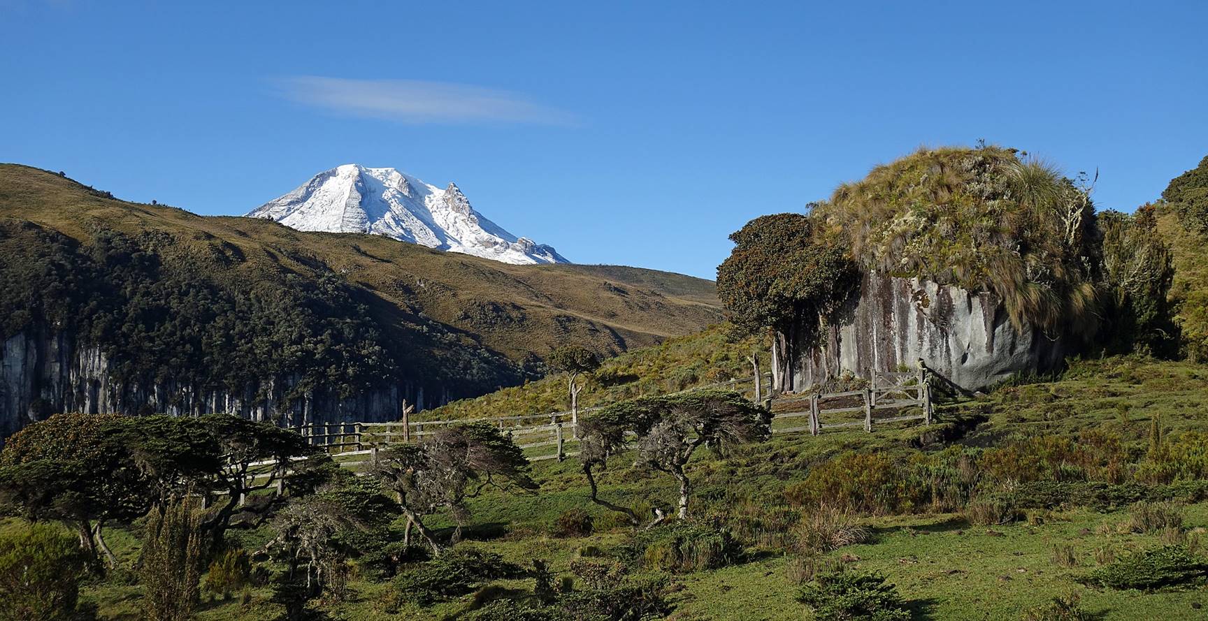
Corral around a big boulder locally called Piedra Gorda (Fat Rock).
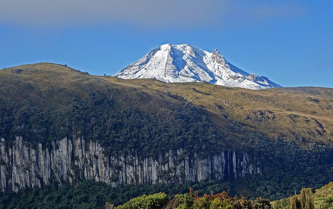
Finally some clear views of Nevado del Tolima.
|
|
|
|
|
|
The tip of Nevado del Ruiz (5311m), the highest summit in PNN Los Nevados, is visible near the center of the picture below.
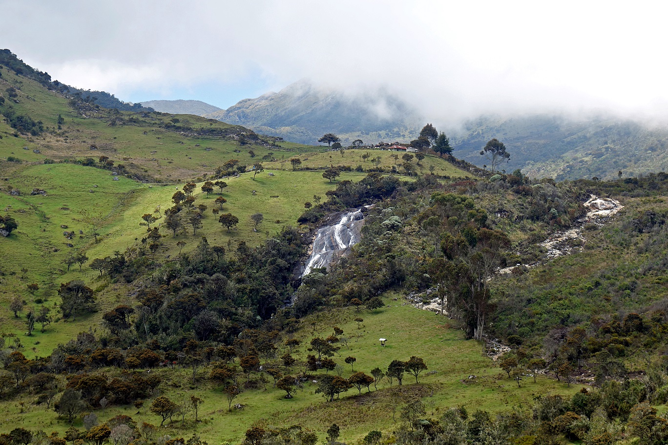
Finca near the end of the trek (hiking portion).
Waterfall below the finca. Soon after I took this photo, we reached a wide trail where we stopped hiking (waypoint 21). An additional two-hour (slow) horse ride followed by a one-hour (also slow) motorcycle ride led us to Santa Isabel.
 (
(
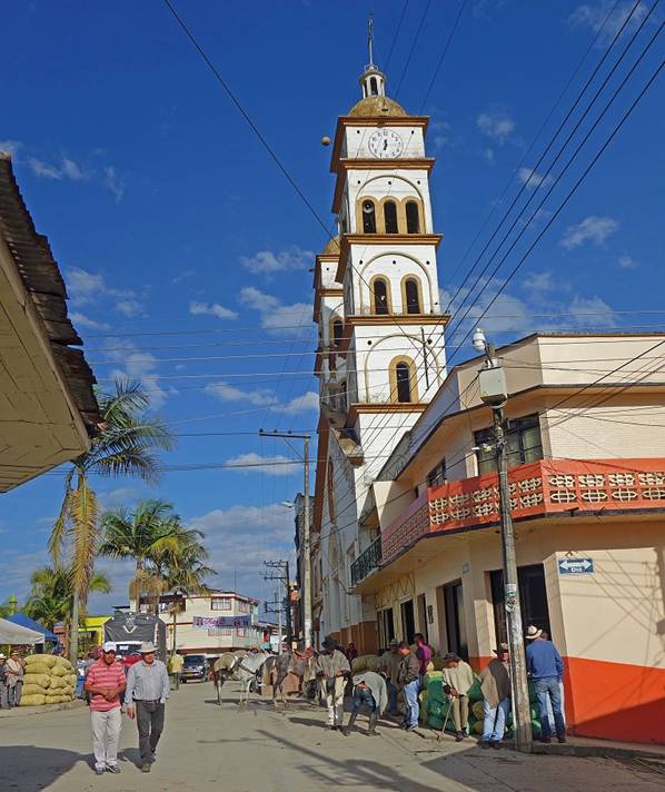
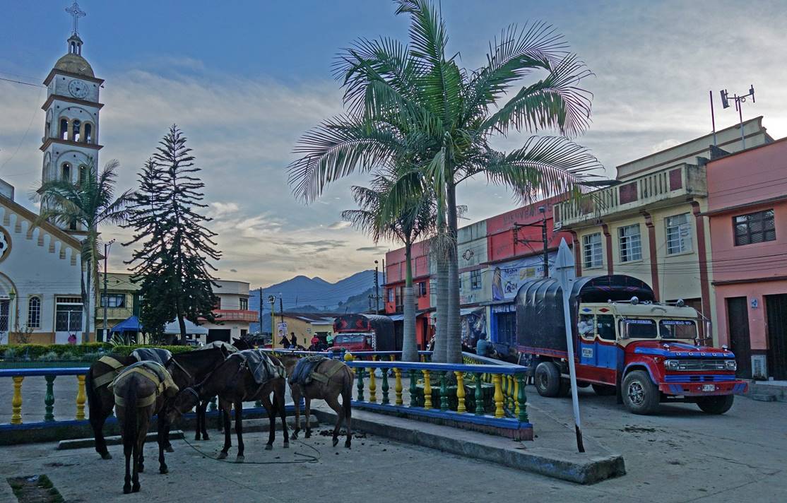
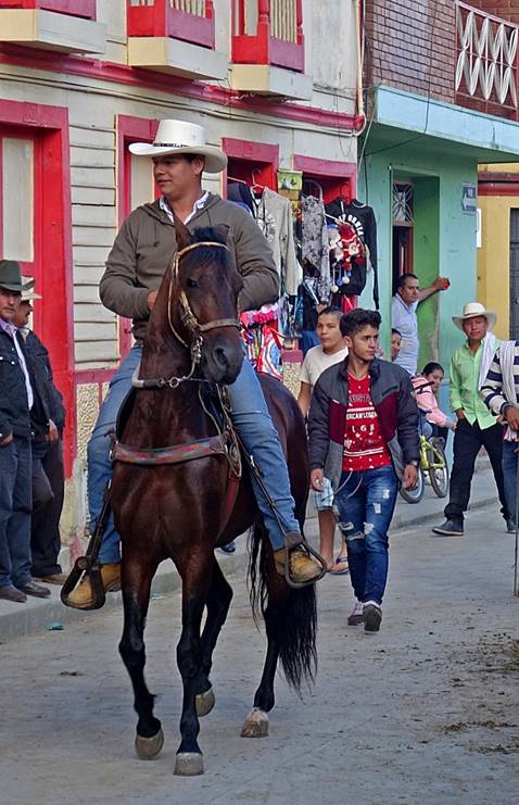
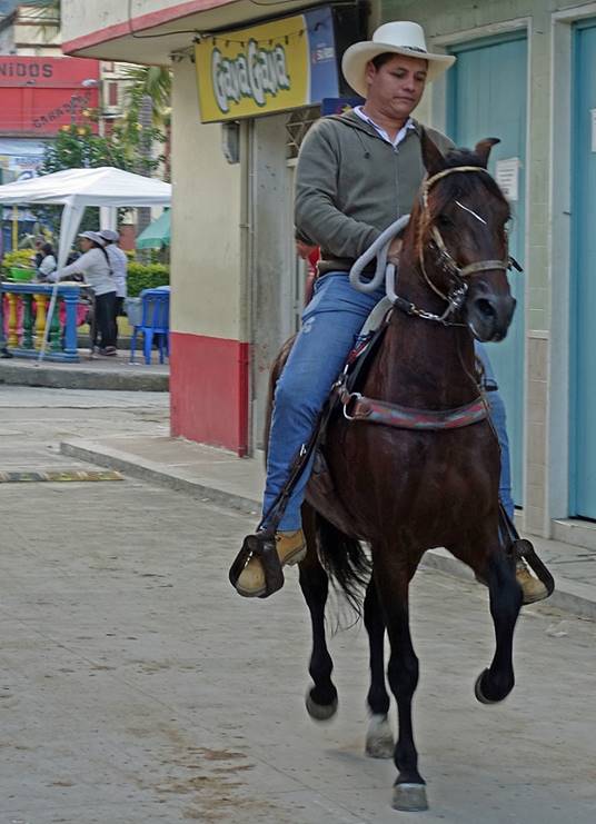
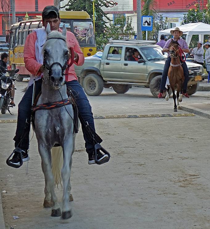
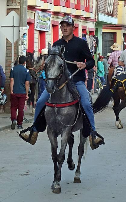
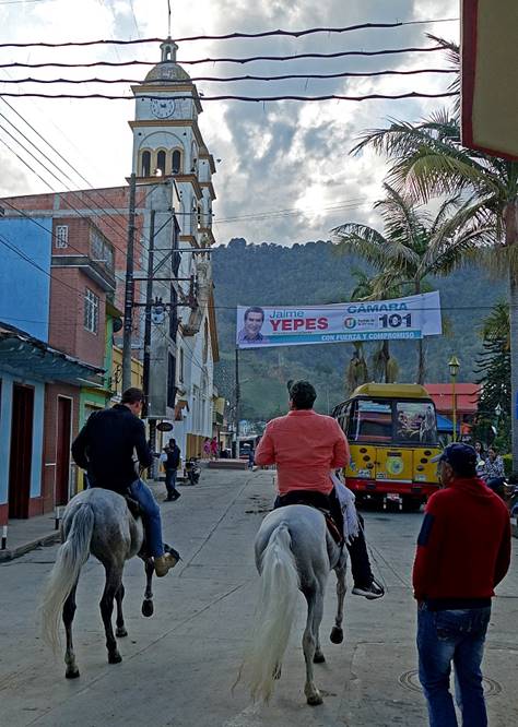
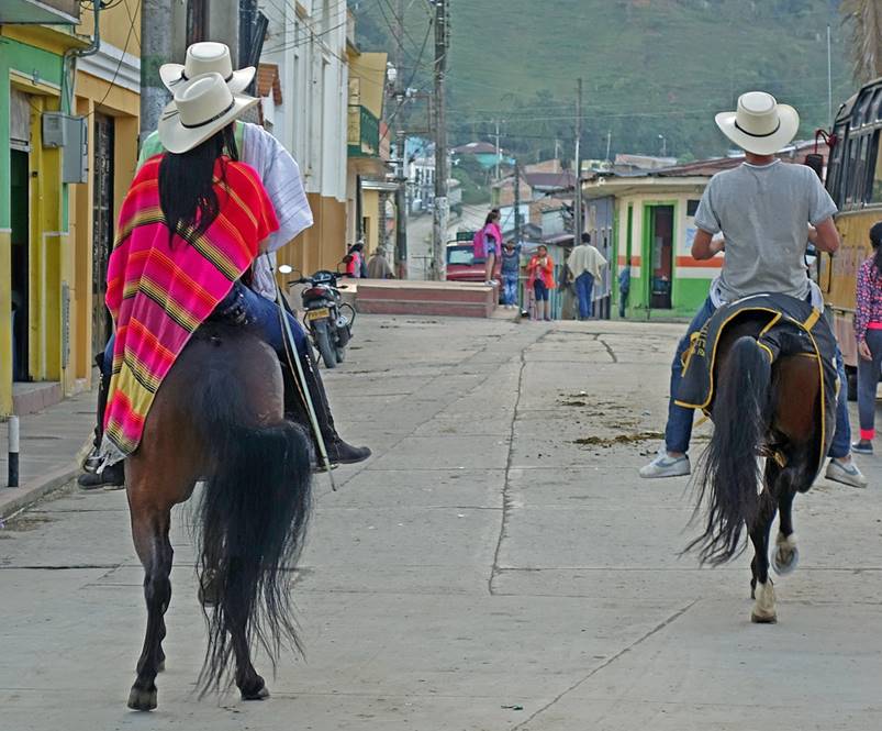
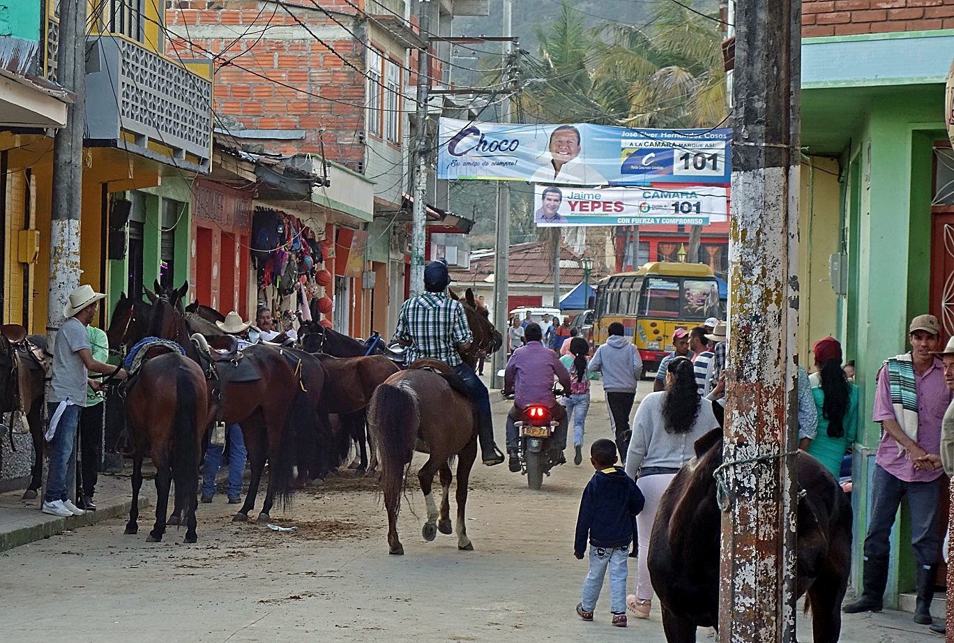
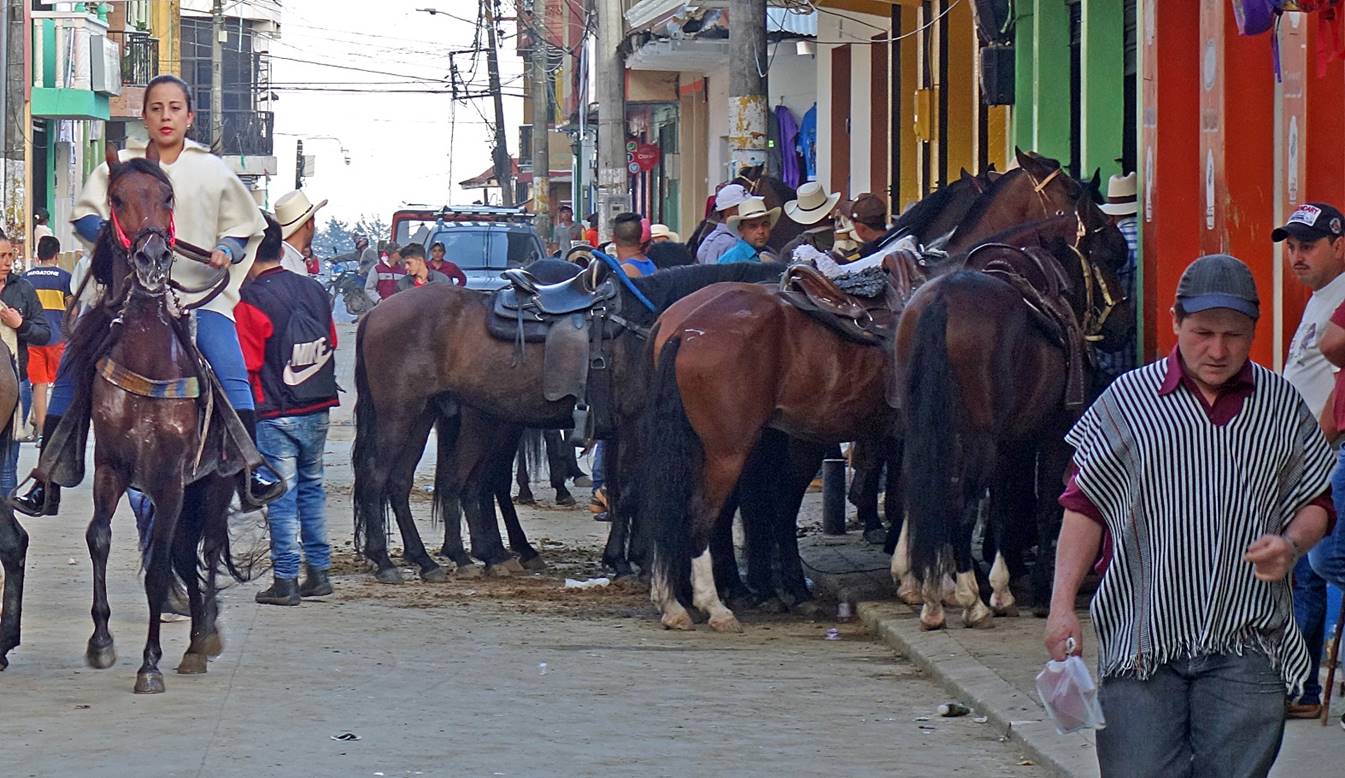
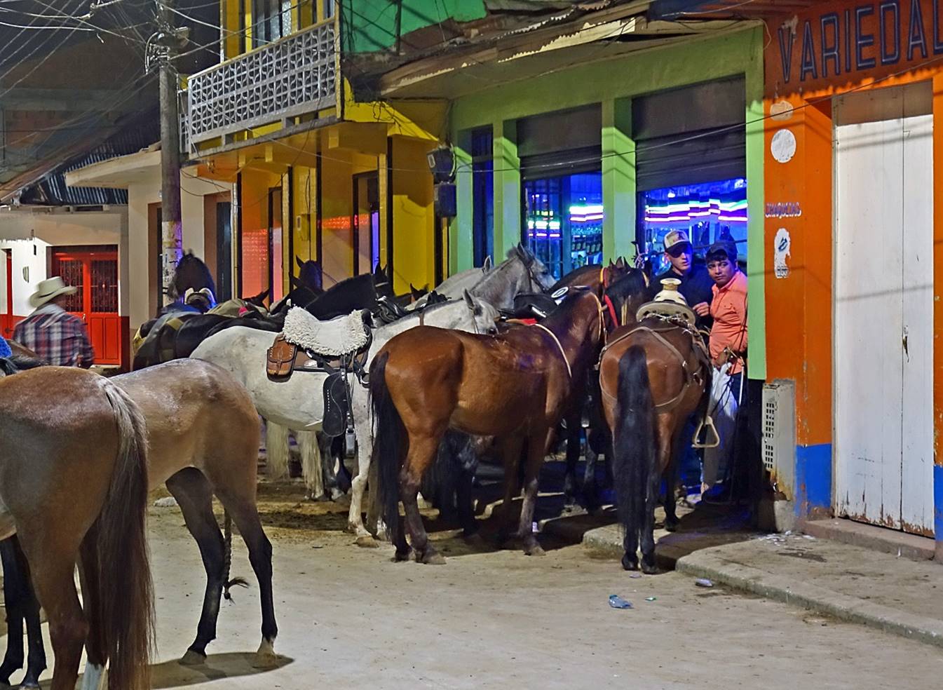
Santa Isabel de Tolima:
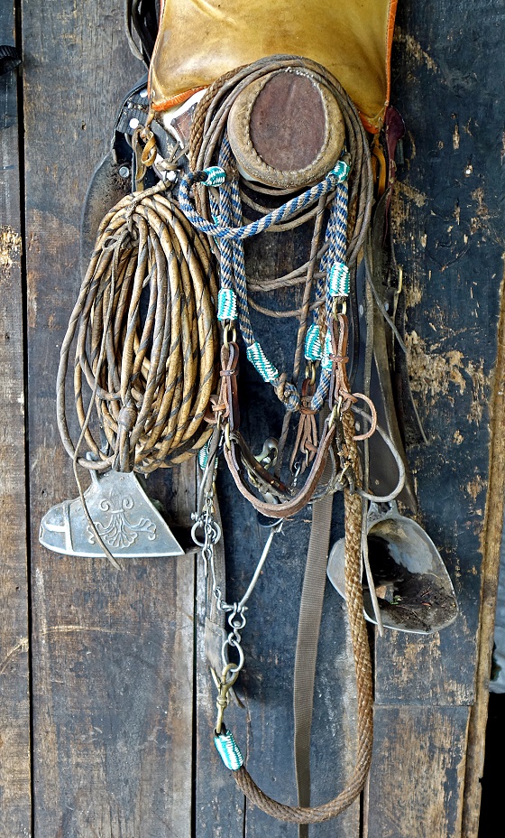
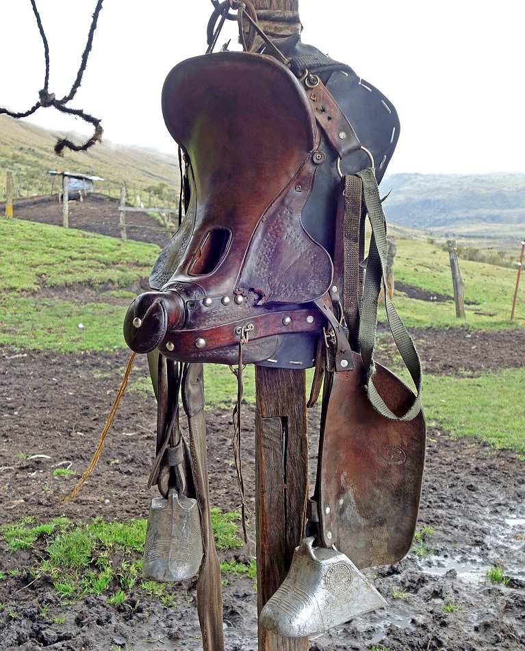
Santa Isabel (2250m) is a typical small cowboy town, with many local people proudly riding horses. It is not as manicured as Salento, but it is definitively more authentic and friendly, and its surrounding are at least as beautiful. Moreover, unlike Salento, it attracts no tourist!
|
|
|
|
|
|
|
|
|
|
|
One bar seems particularly popular in the late afternoon and evening, if one judges by the number of horses ″parked″ at its door step.
![]()
Return to main Los Nevados trek page | Return to main Colombia 2018 page