Ethiopia (April-May 2012): Mekele-to-Lalibela-to-Debark
trek (page 4 of 8)
|
|
Return to main Ethiopia 2012 webpage | Go to
pages: 1
| 2
| 3
| 4
| 5
| 6
| 7
| 8
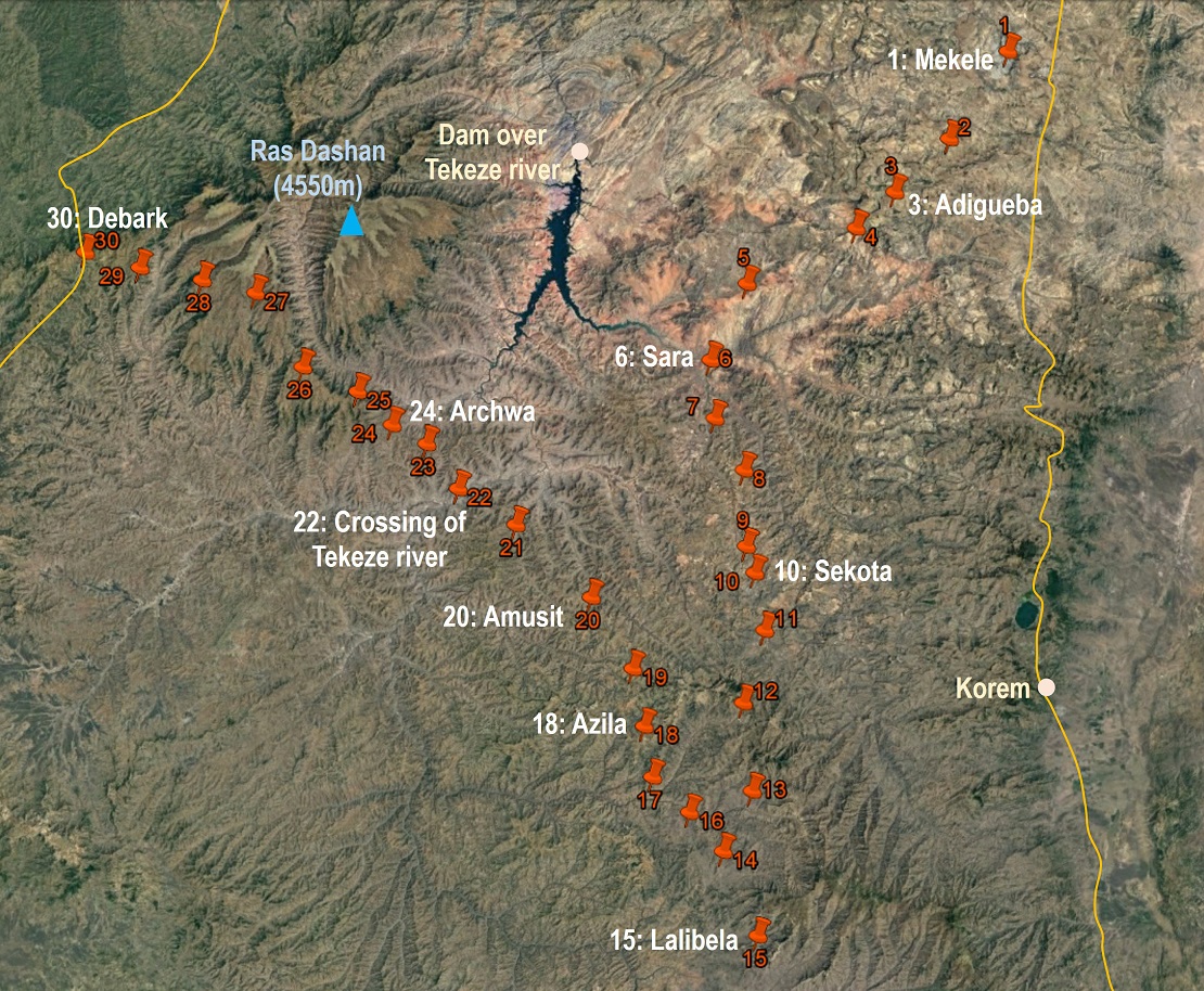
Map. (Click here to access the waypoints in Google Earth. Click
on the map to get a better-resolution picture of it.)
|
|
|
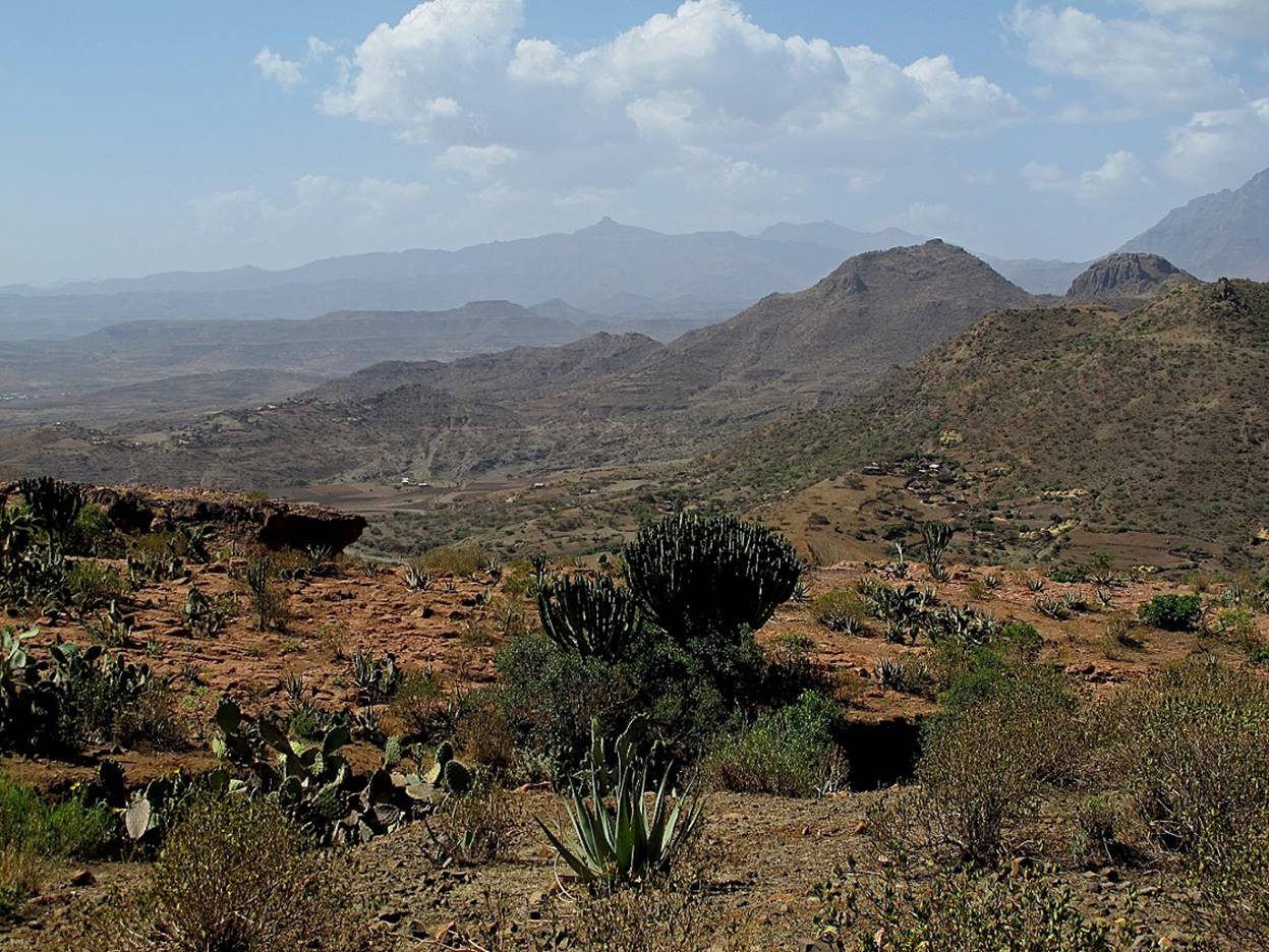
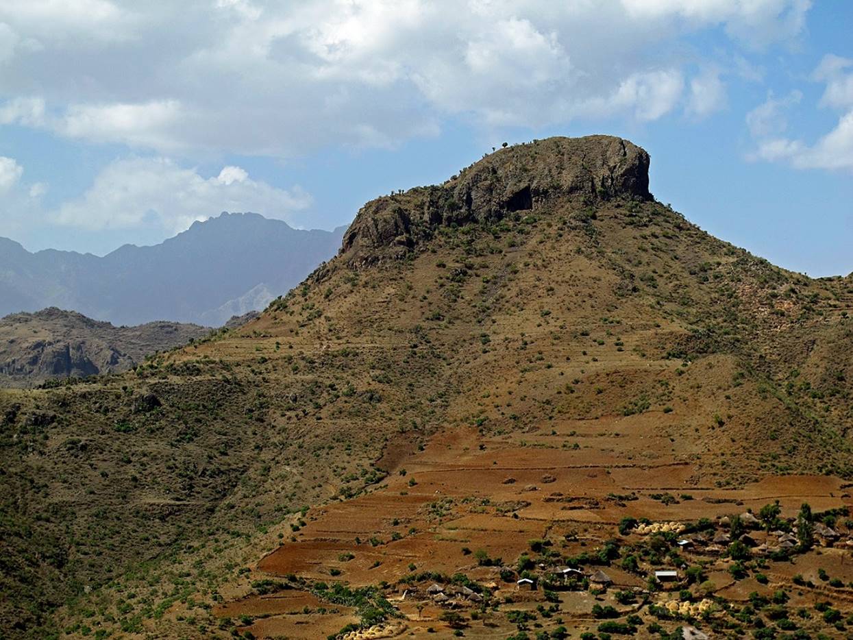
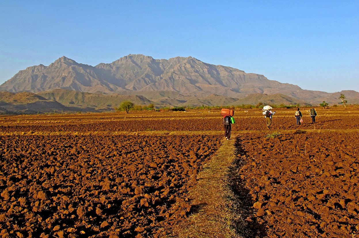
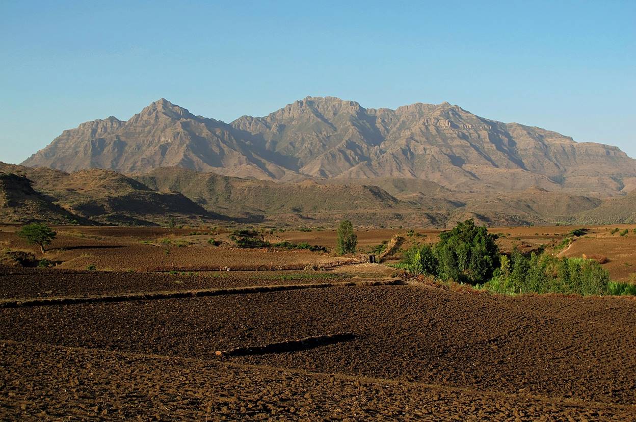
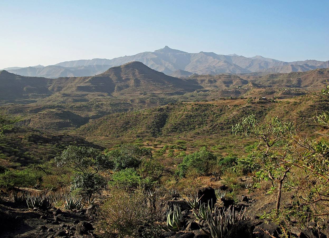
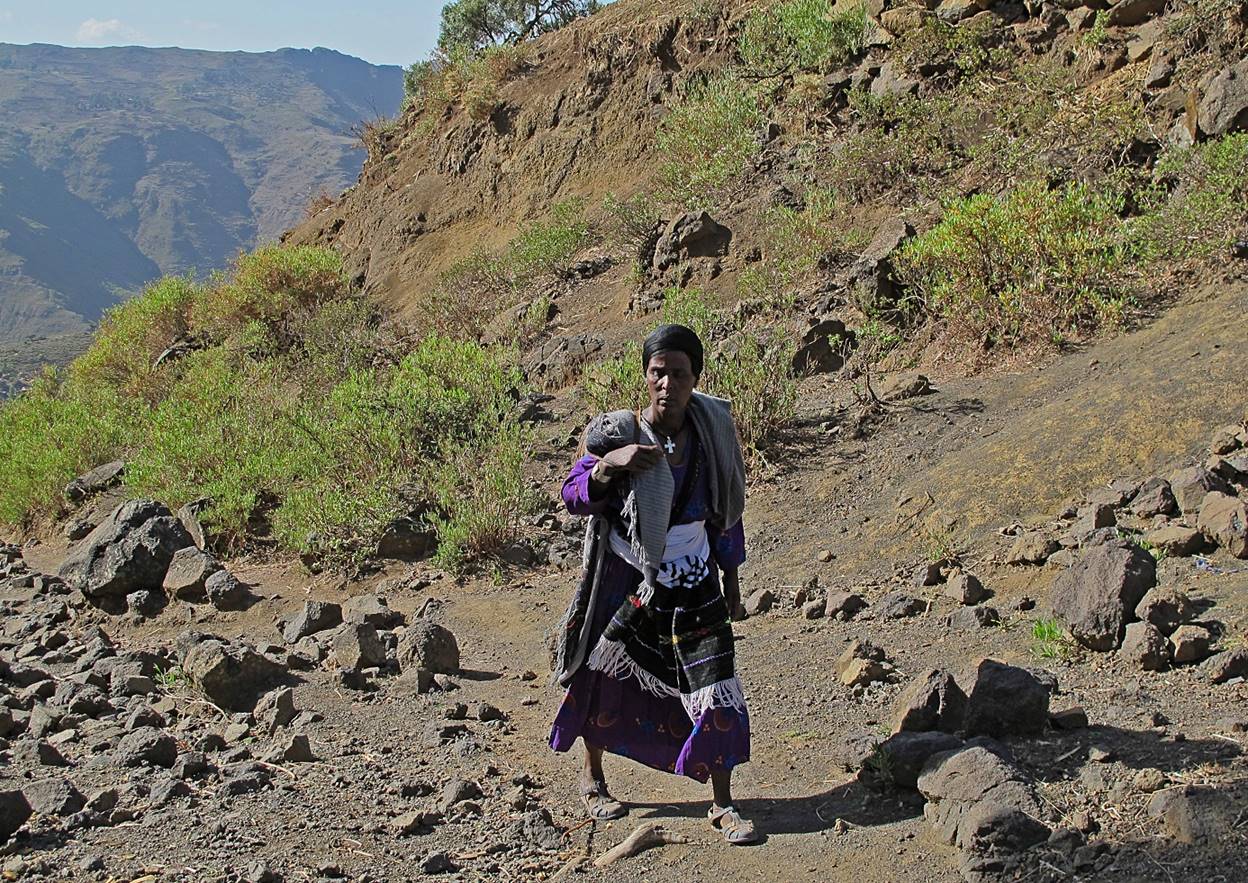
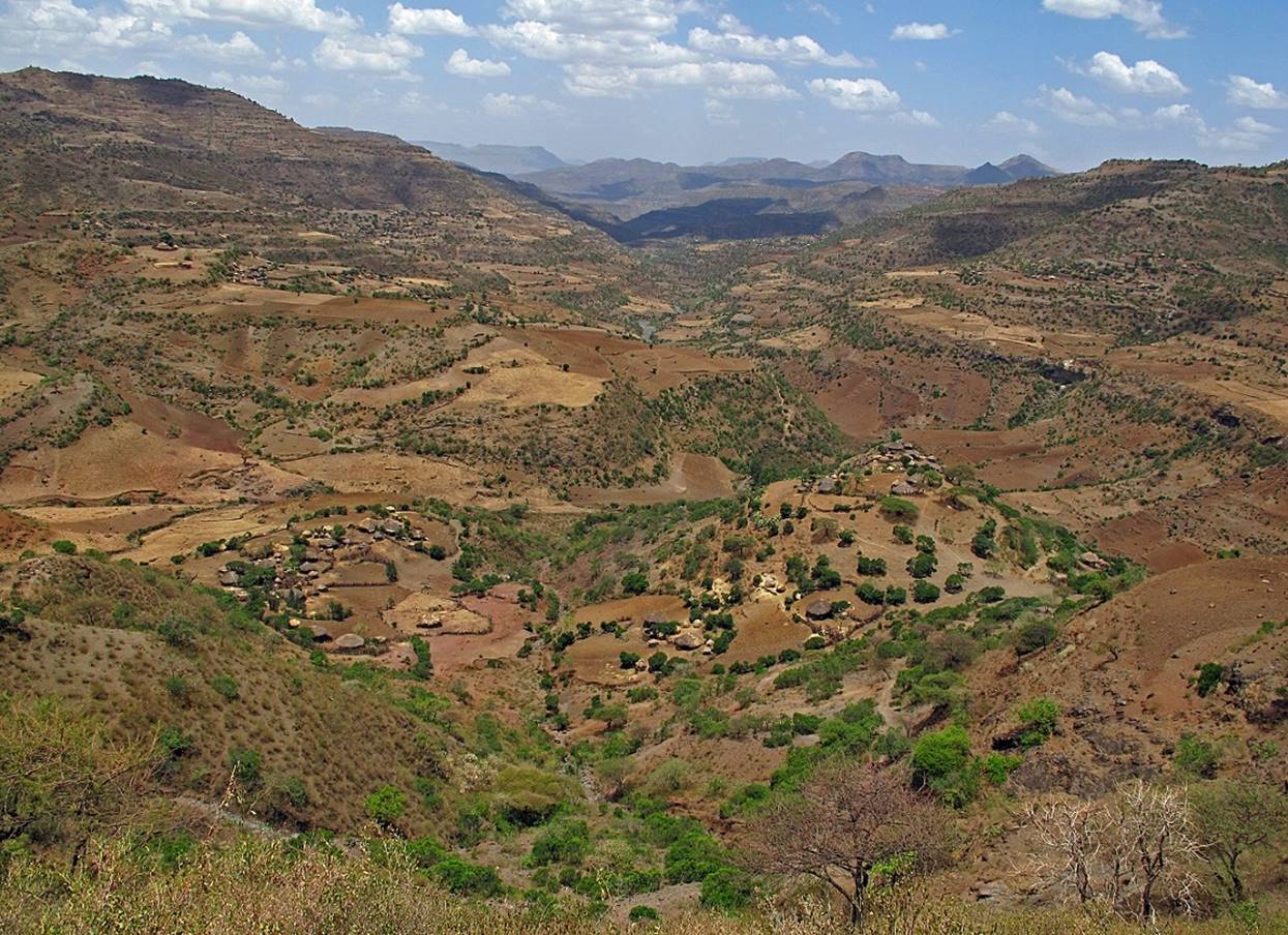
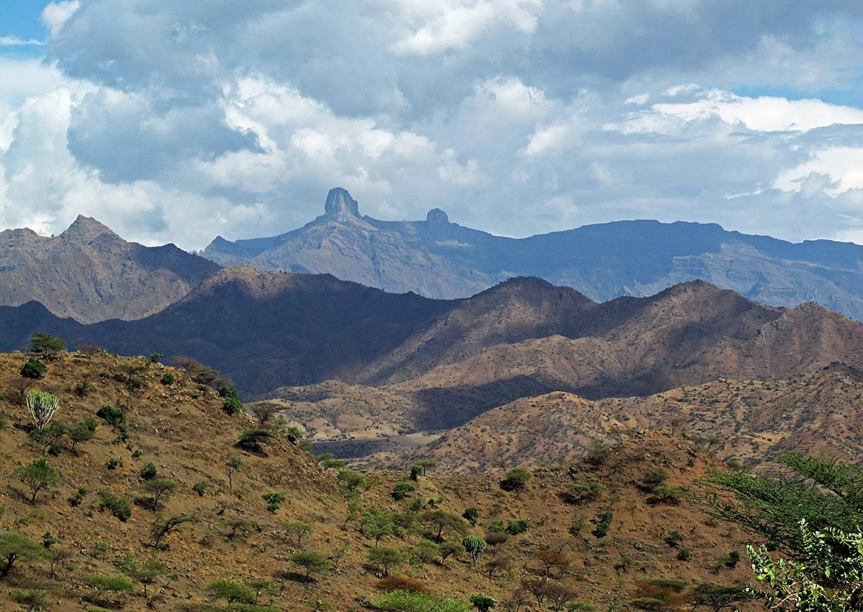
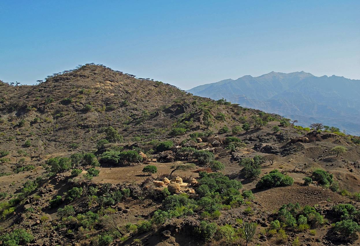
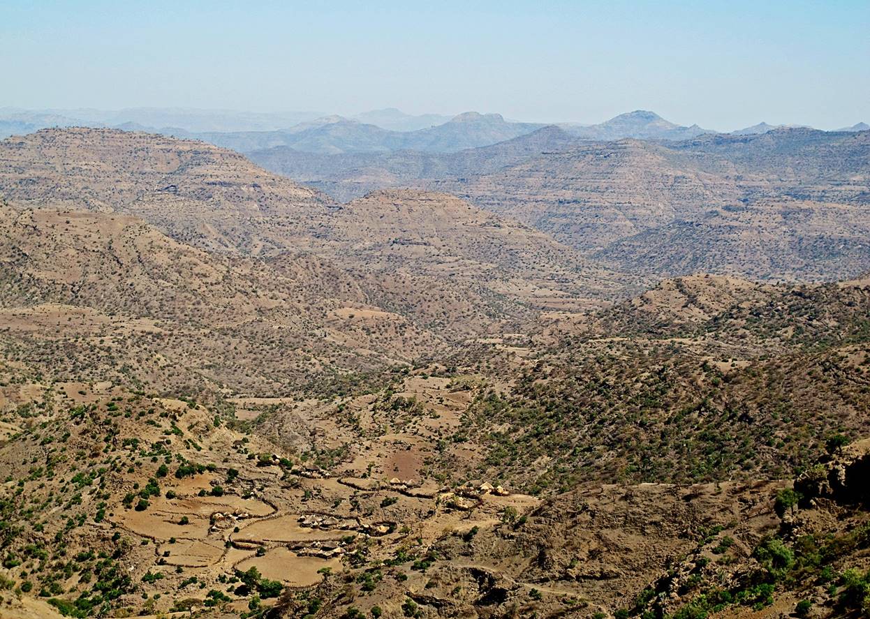
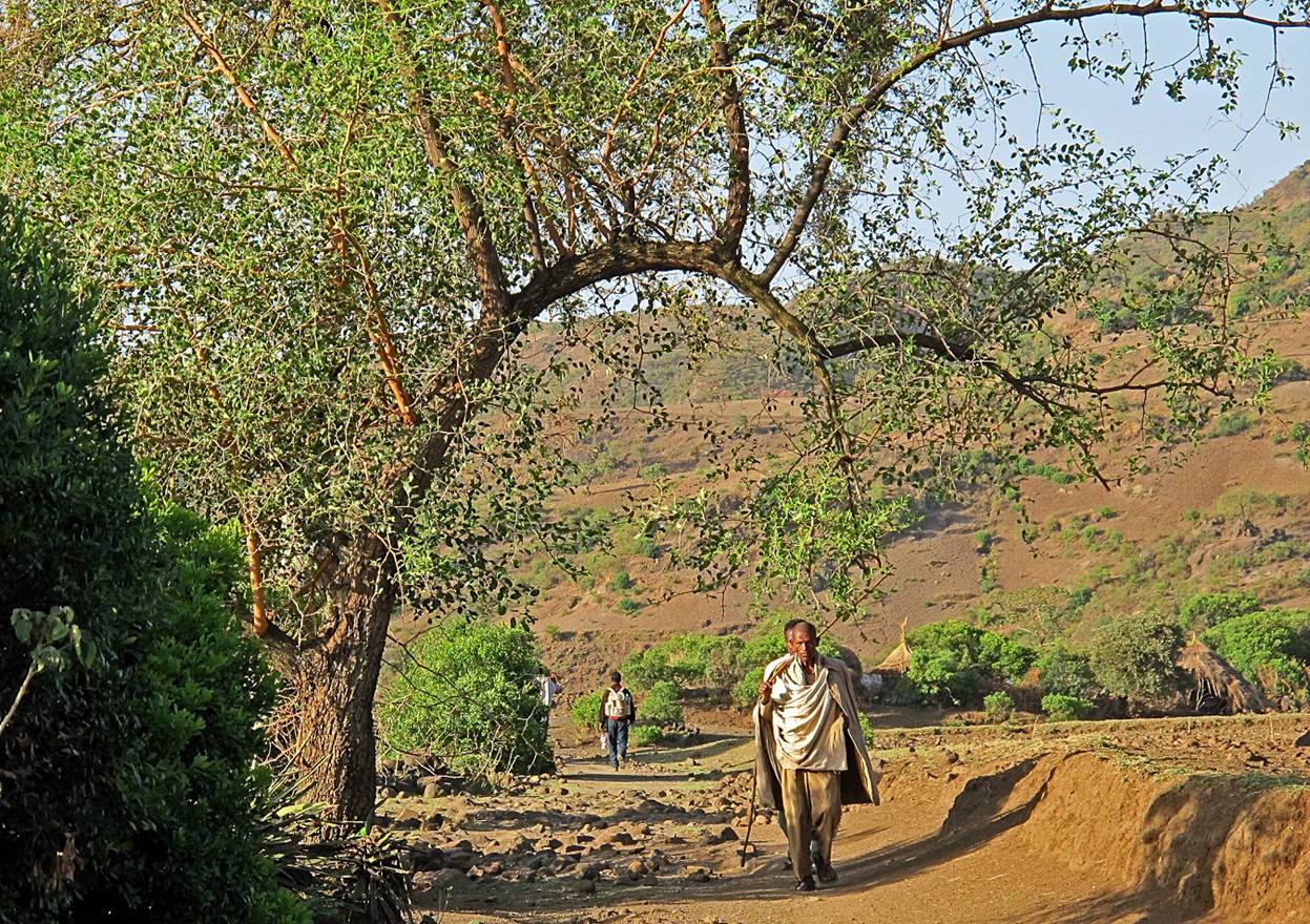
Landscapes between WP #10 (Sekota) and WP #11 (Wouala).

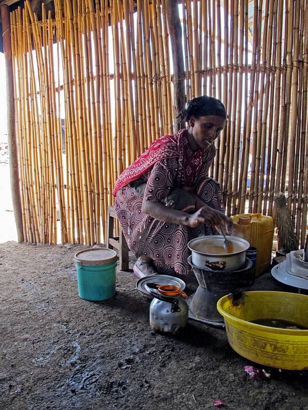
Preparing ″wat″, a spicy gravy to spread over injera.
|
|
|

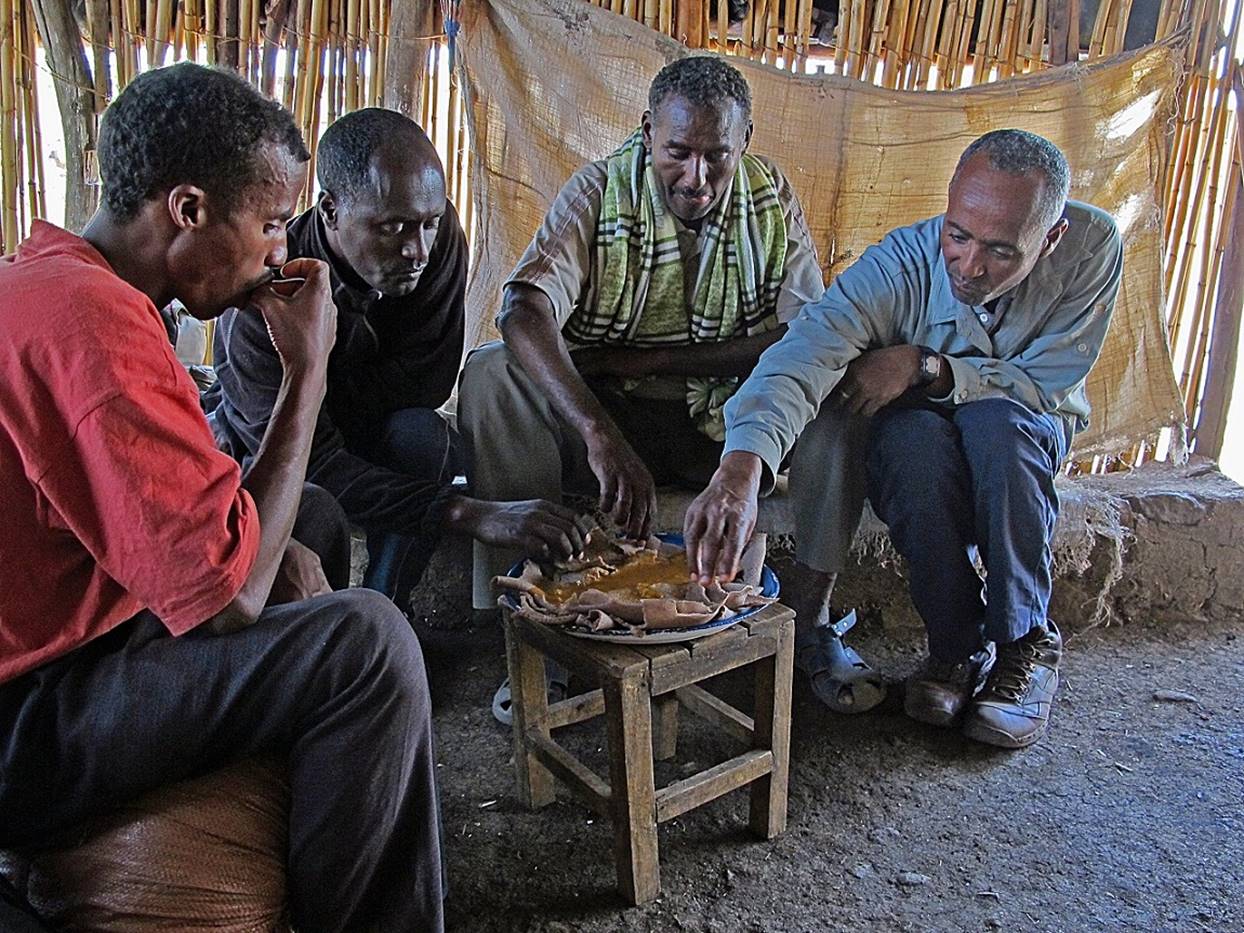
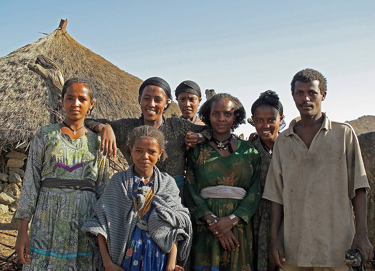
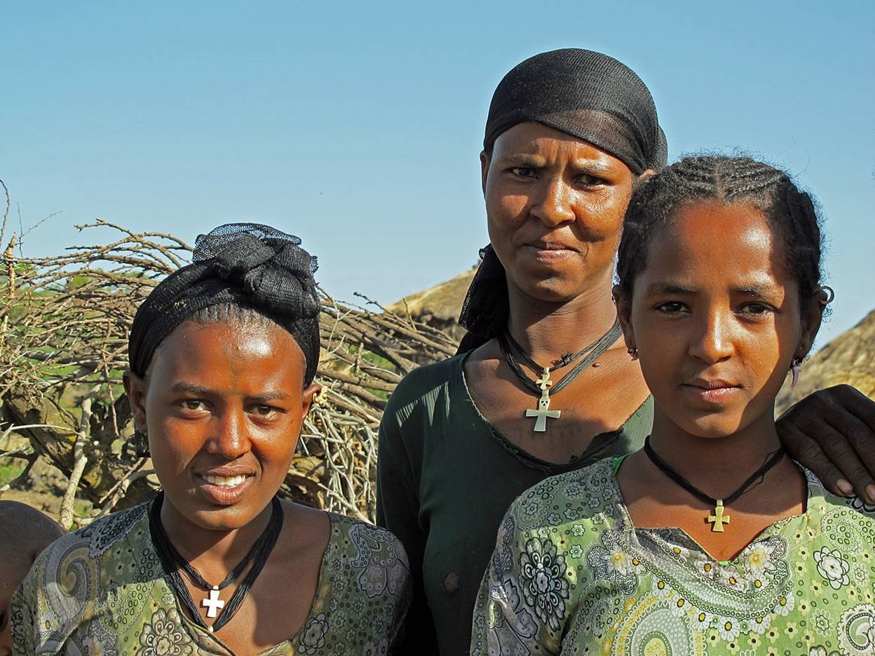
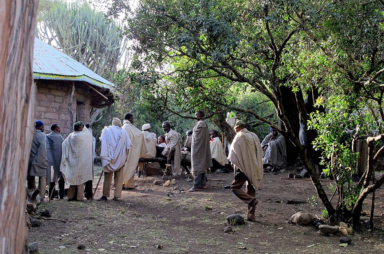
Gebrehiwet, Mulat, Gebru, and Negussie (from left to
right) eating injera.
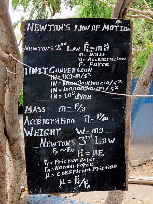
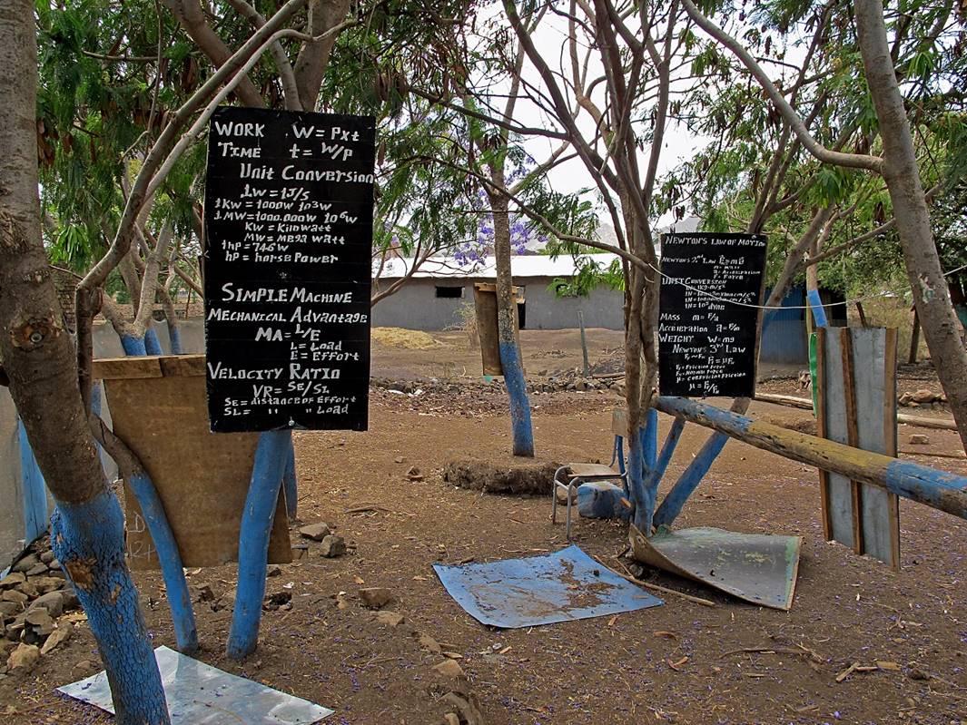
Boards in the school of Wouala (WP #11). We
pitched our tents in this school yard. The lessons on the boards are
surprisingly sophisticated. But I am not sure that they are very useful, since
I did not meet a single kid in Wouala speaking
English.
|
|
|
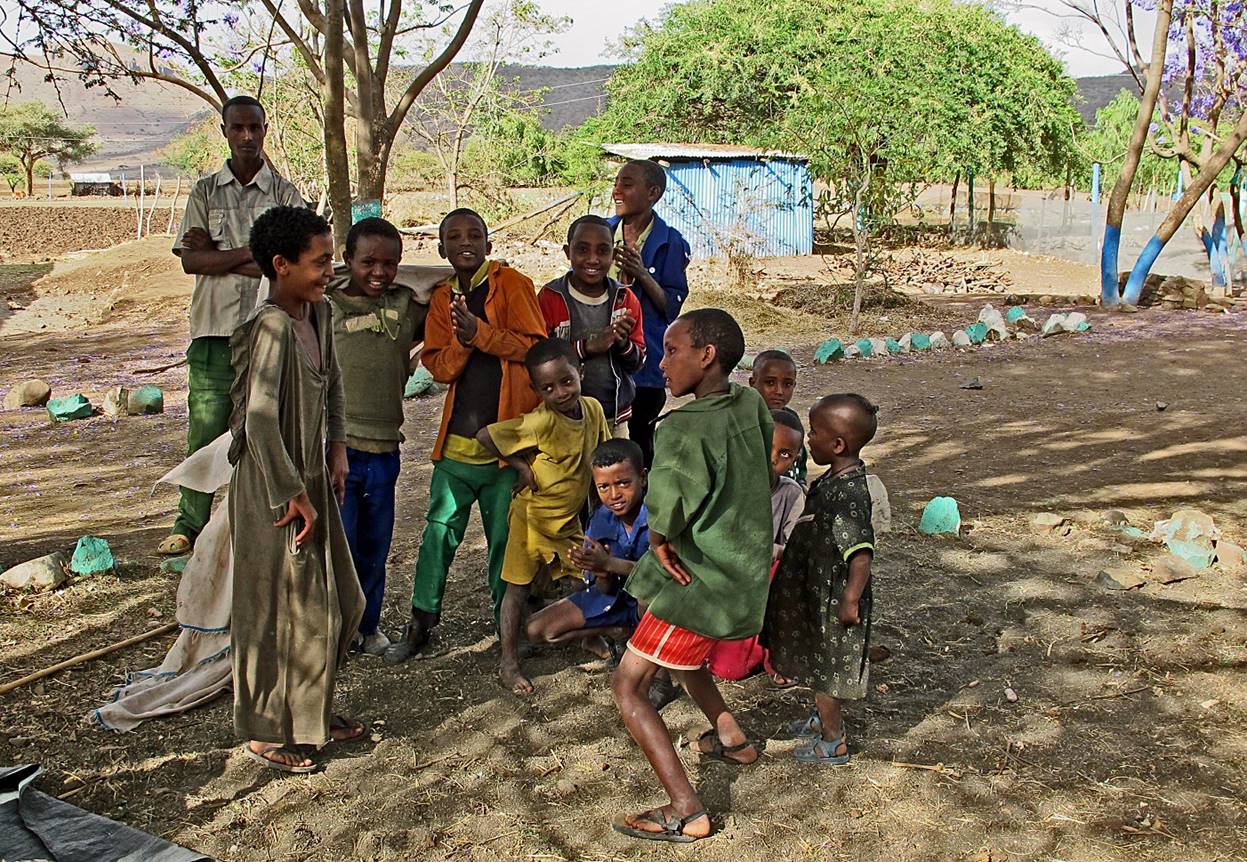
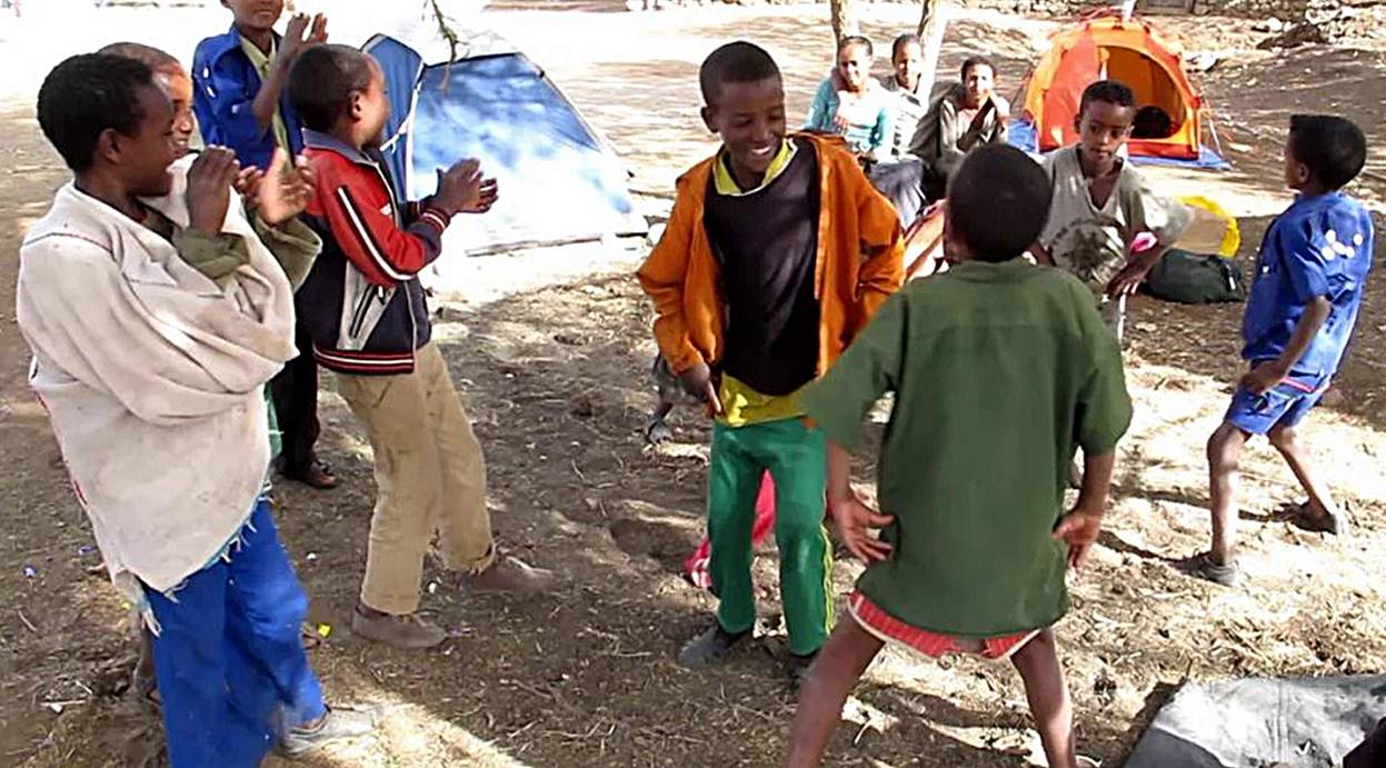
Kids in the school yard. Here we make them dance on our cell phone music.
Click on the second photo below to see a short movie.
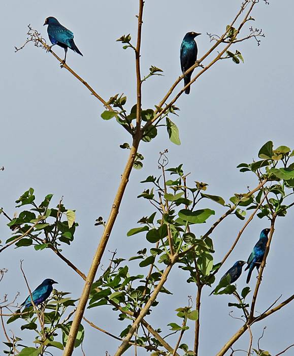
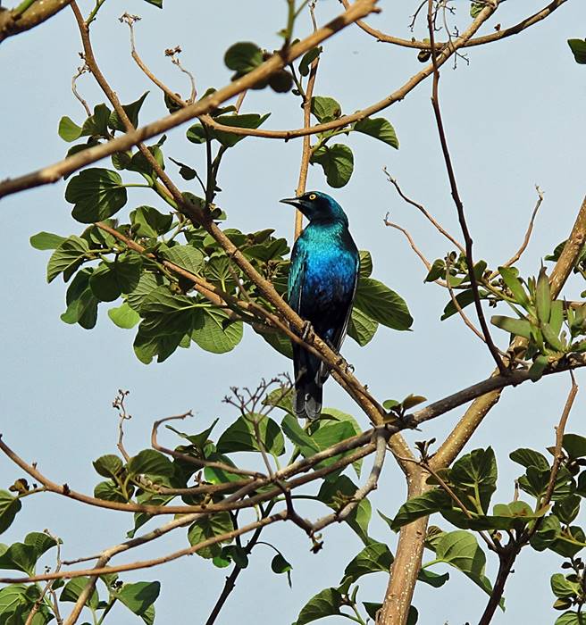
Glossy starling birds in the school of Wouala.
Ethiopia boasts an incredible variety of birds. These shining blue birds are
ubiquitous in most regions of the country.
|
|
|
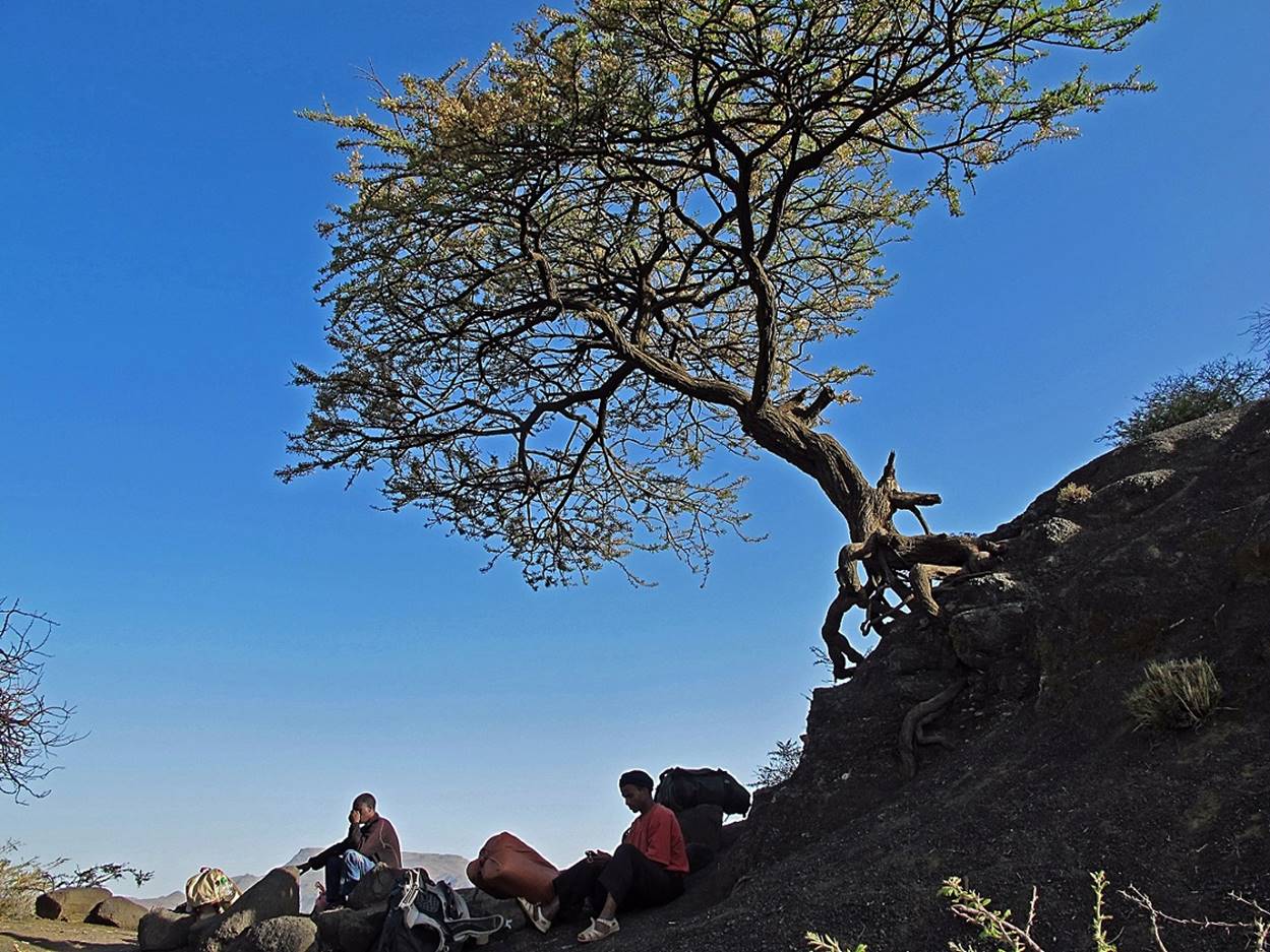
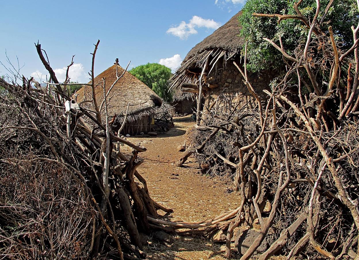
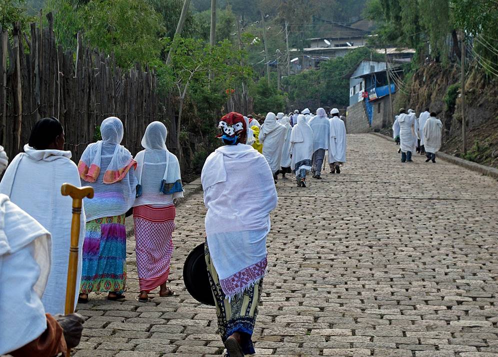
Leaving Wouala.

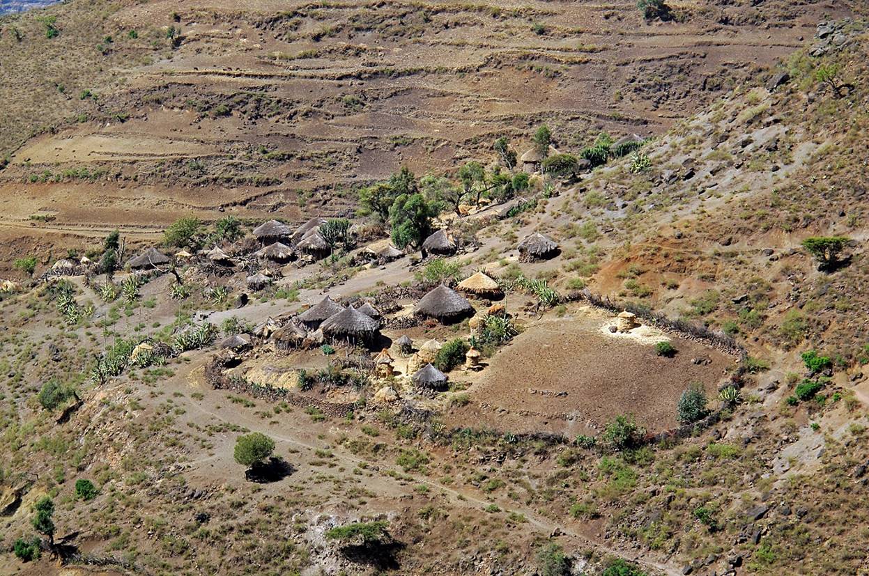
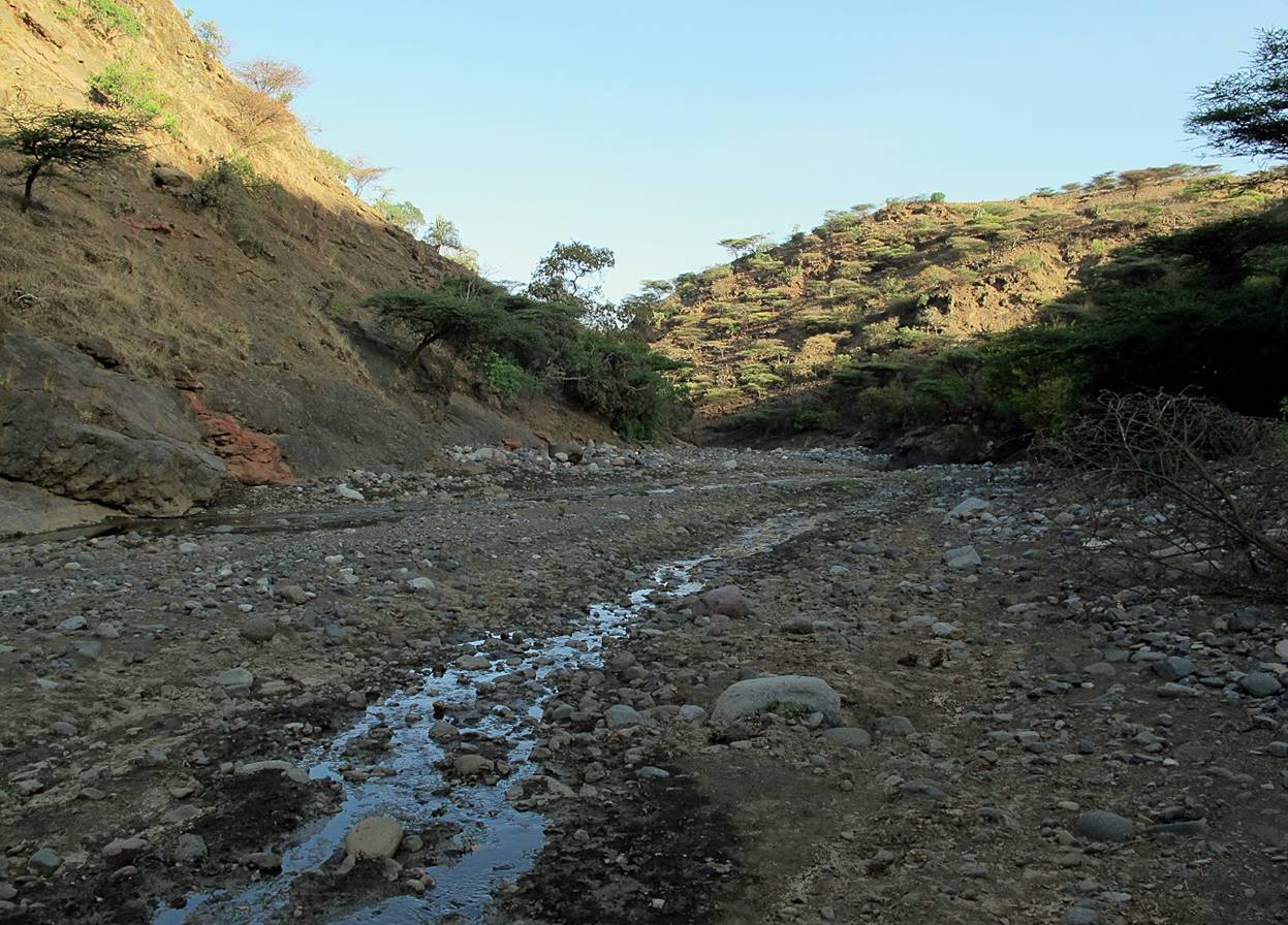
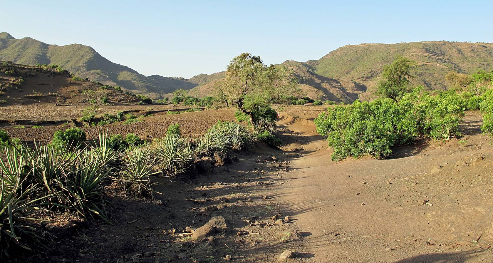
Between WP #11 and WP #12 (village of Hass).

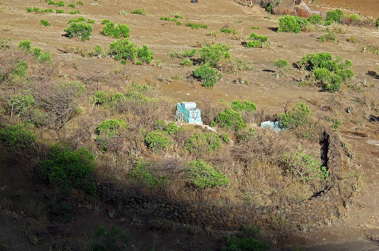
Old Jewish cemetery. Until the 1980′s there was a rather large
community of Ethiopian Jews in the states of Tigray and Amhara.
Most of them were transferred to Israel between 1984 and 1991
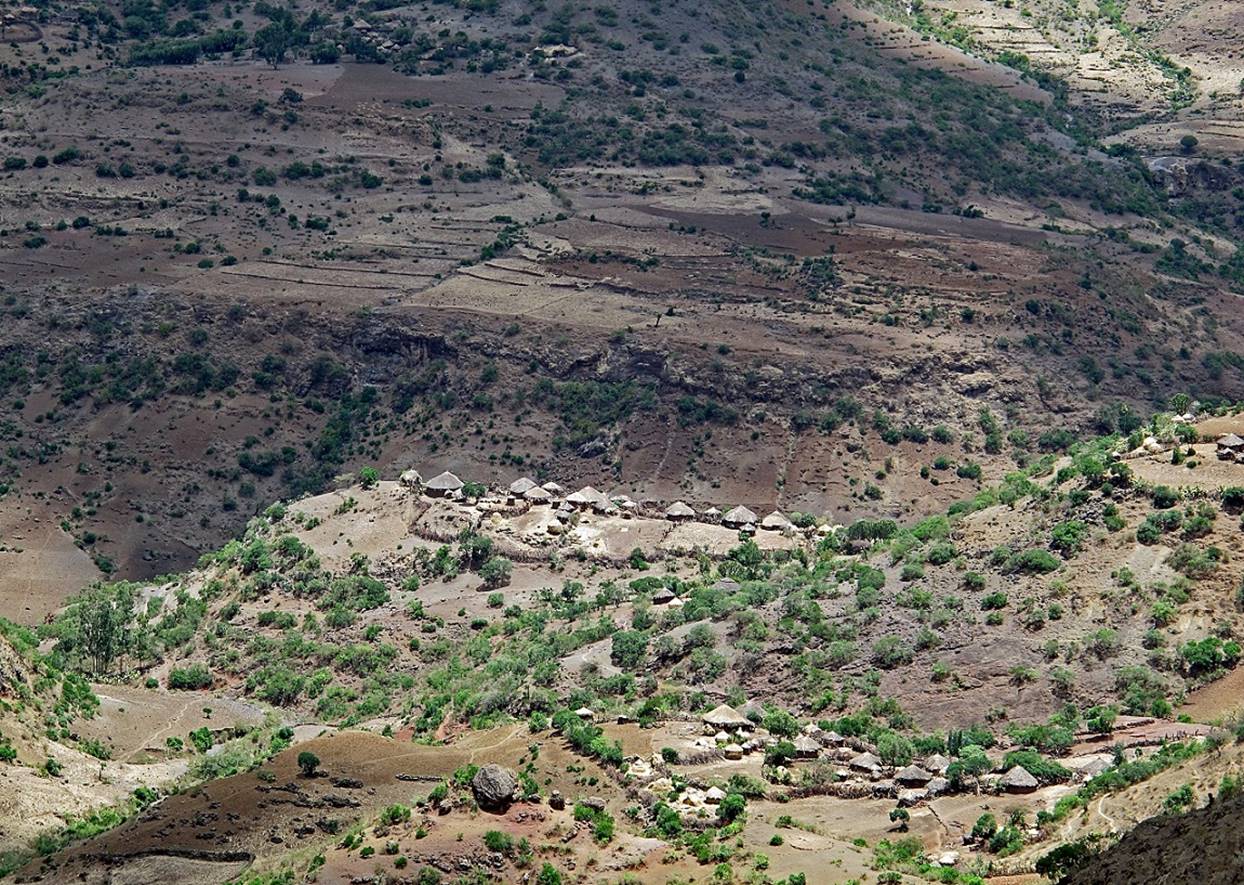
More photos taken between WP #11 and WP 12.


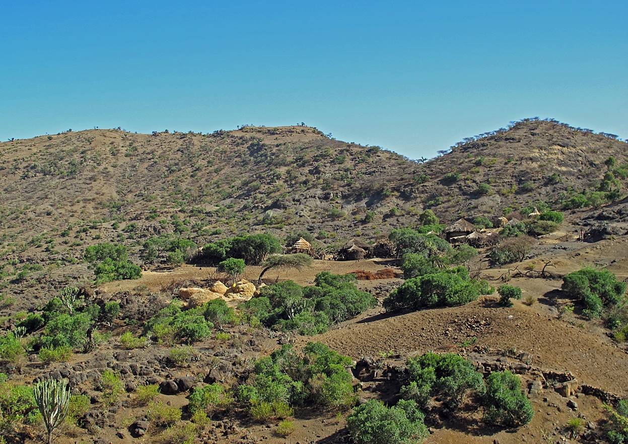
Leaving the village of Hass (WP #12) in the morning.

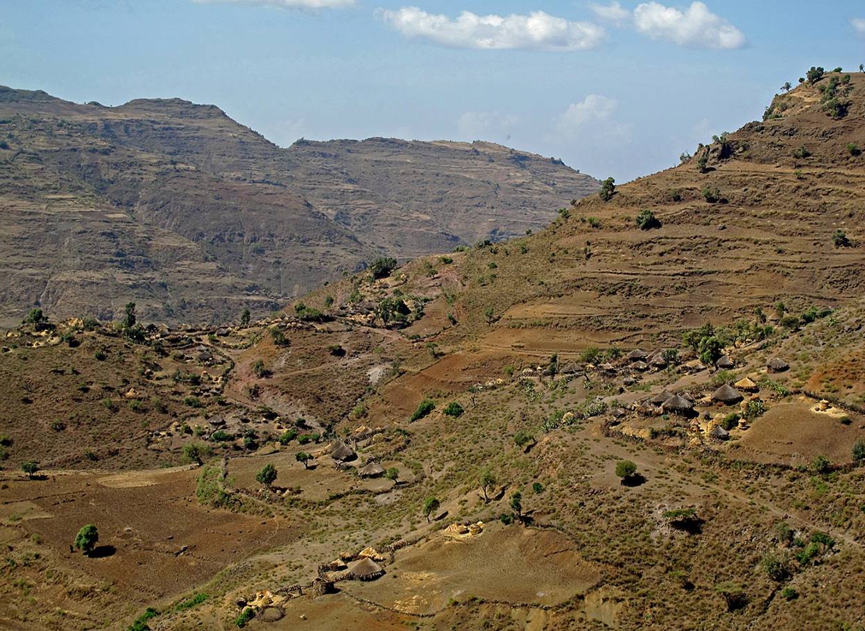
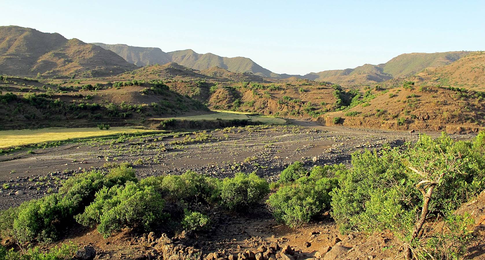
Between WP #12 and WP #13.

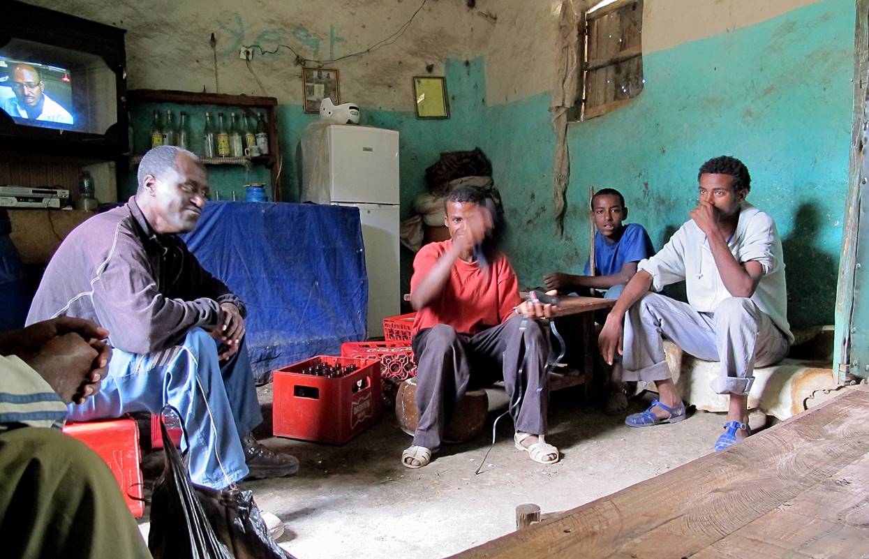
In a small ″restaurant″ before reaching the village of Hava (WP #13).
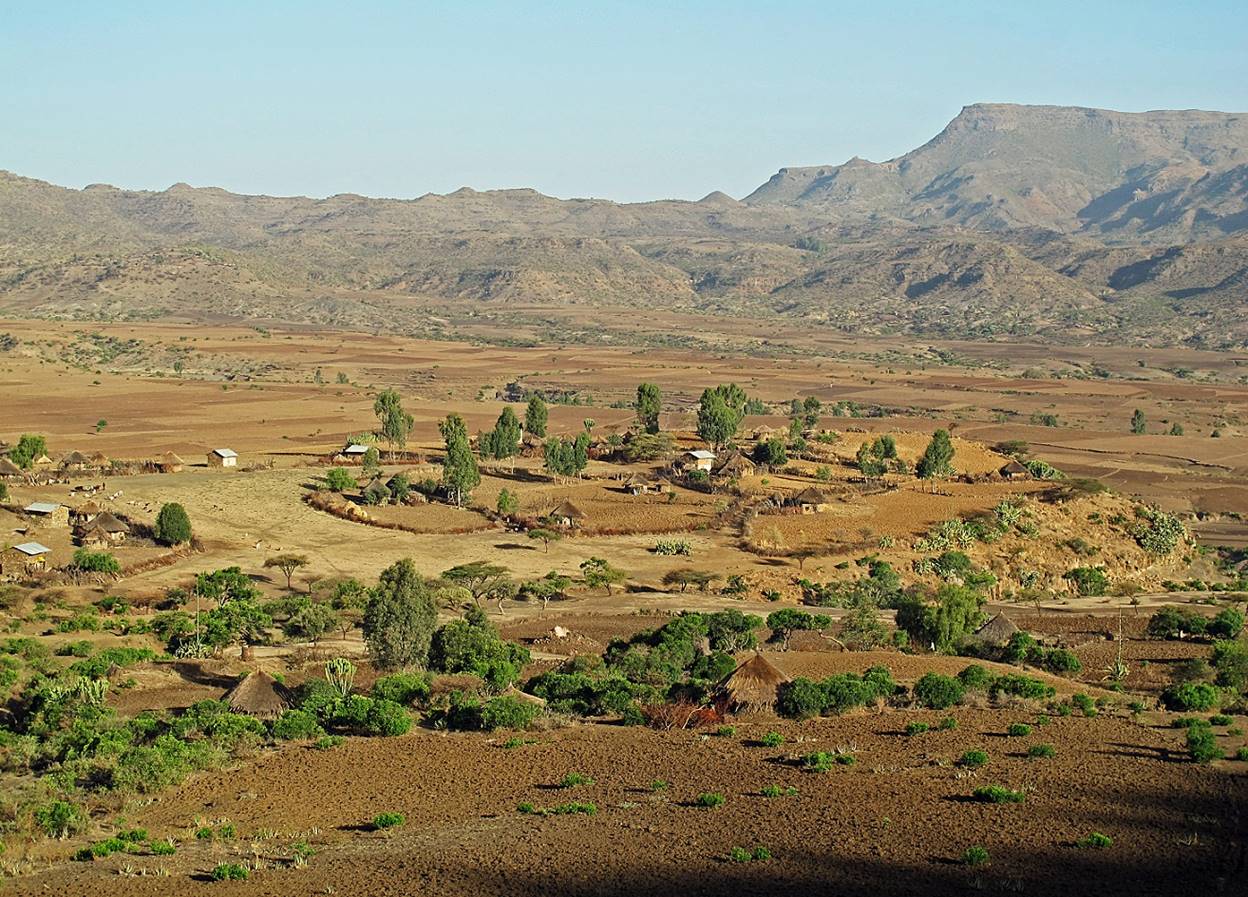
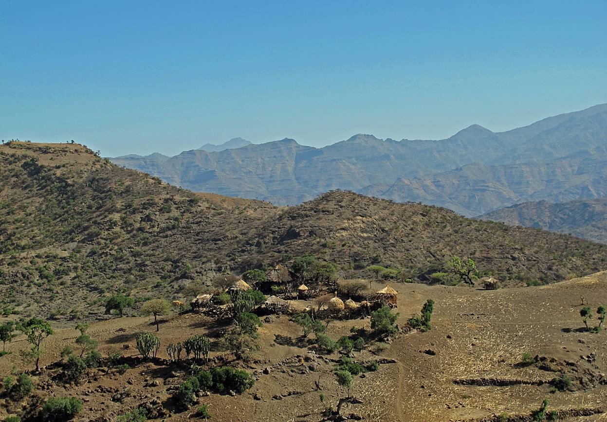
Scenery near Hava.

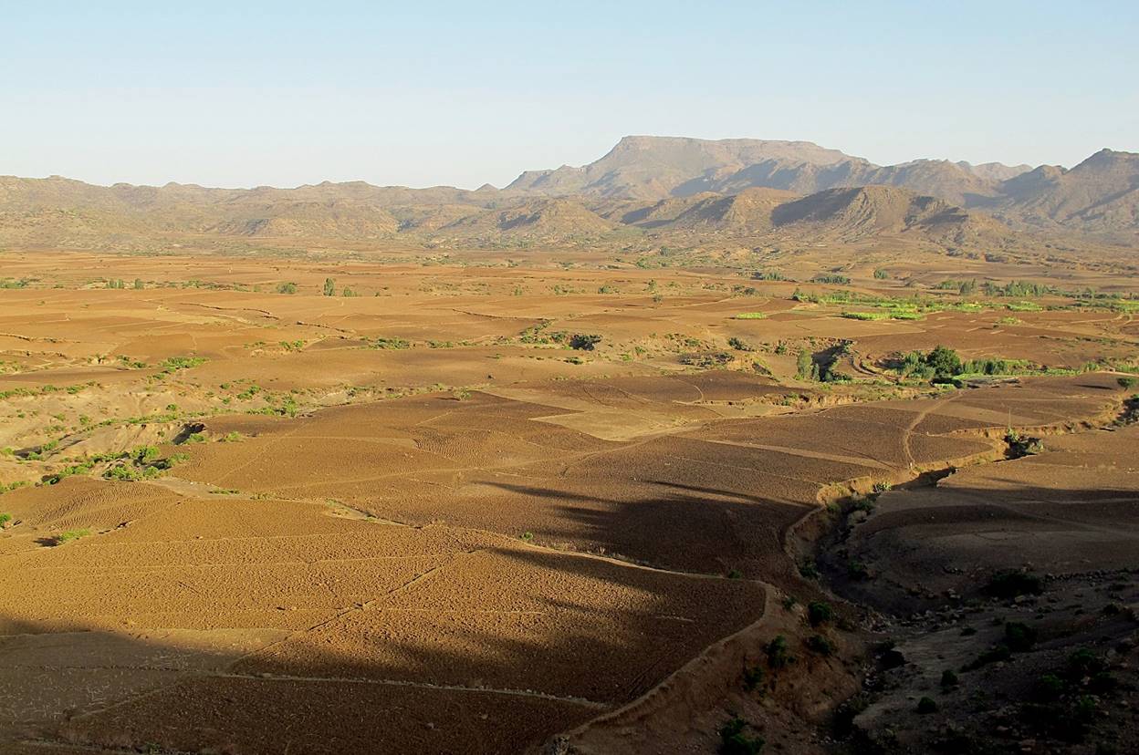
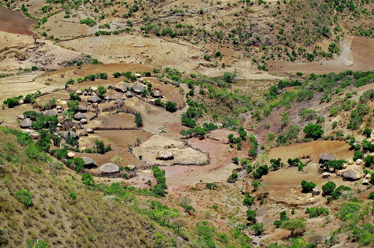
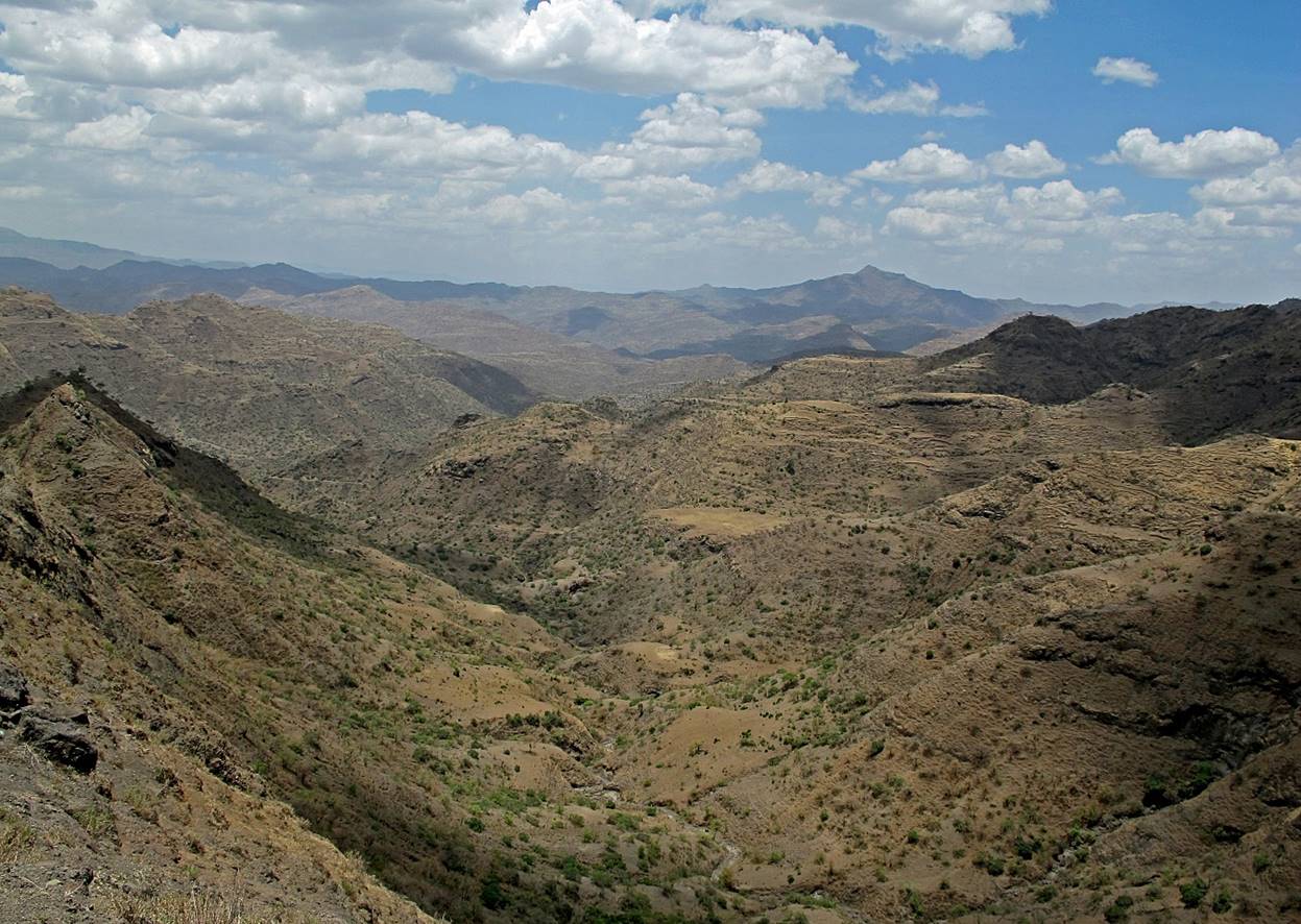
Between WP #13 and WP #14.
Between WP #13 and WP #14. Looking toward Tekeze river (toward the west).
More landscapes between WP #13 and WP #14.
At a church near the small town of Bilbela (WP
#14).
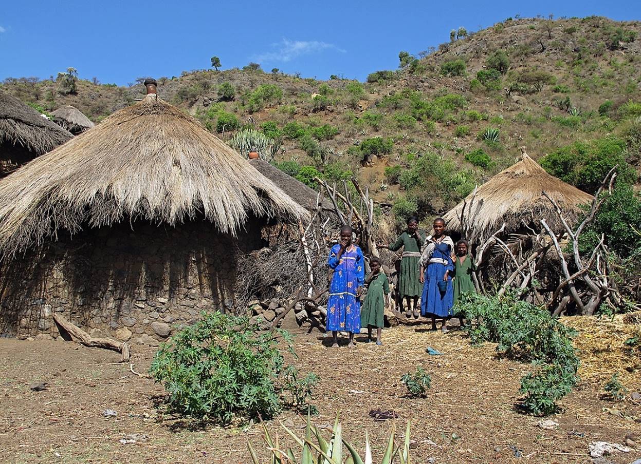
Children in Bilbela.

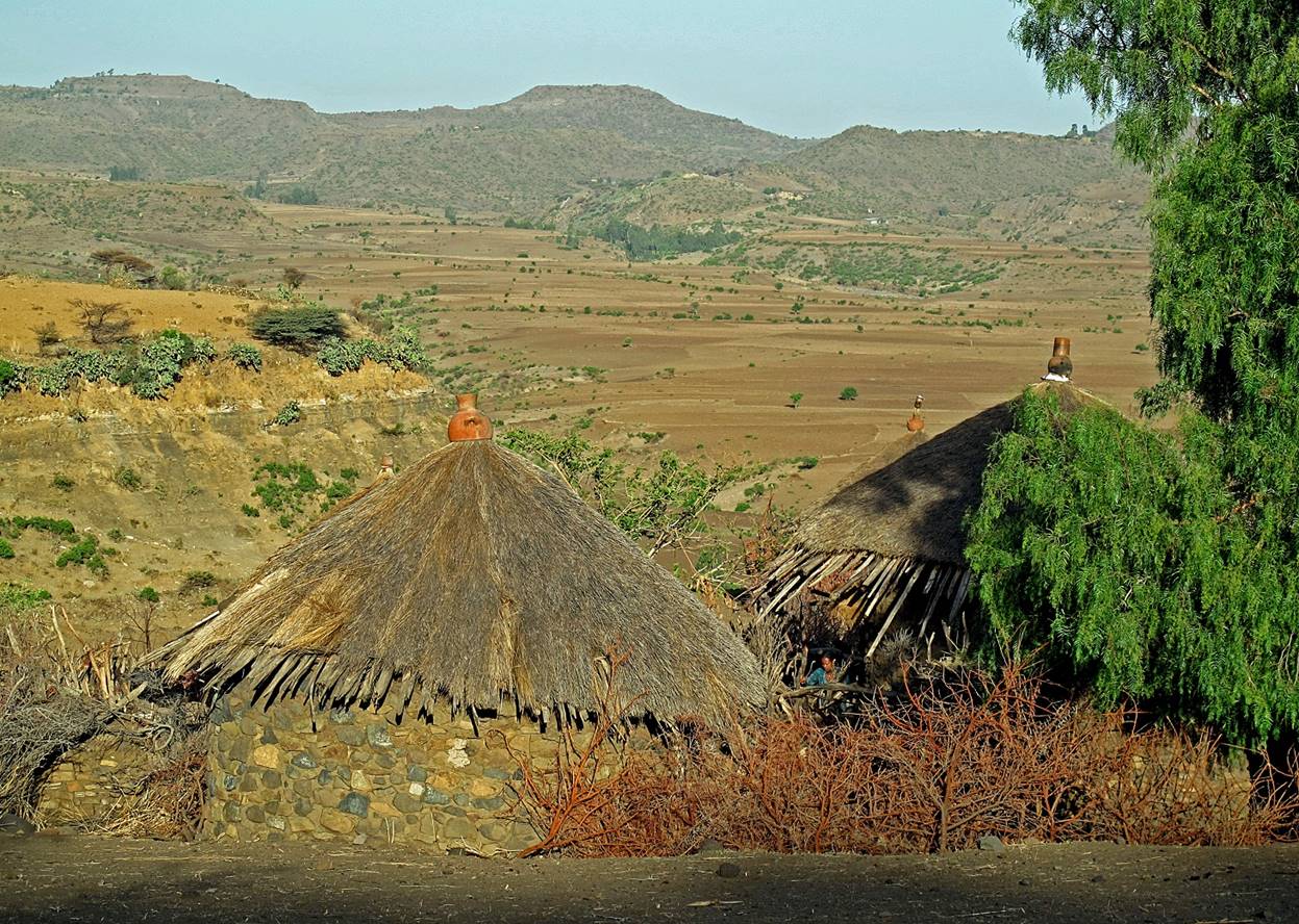
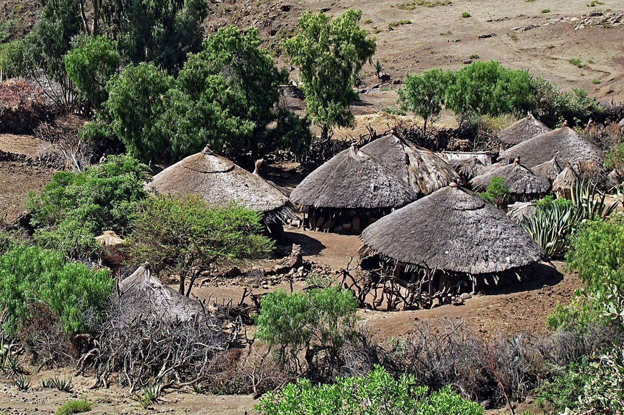
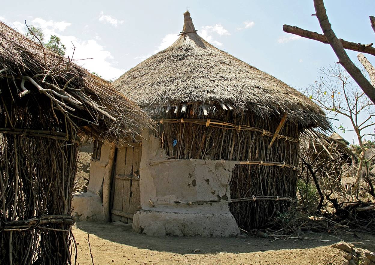
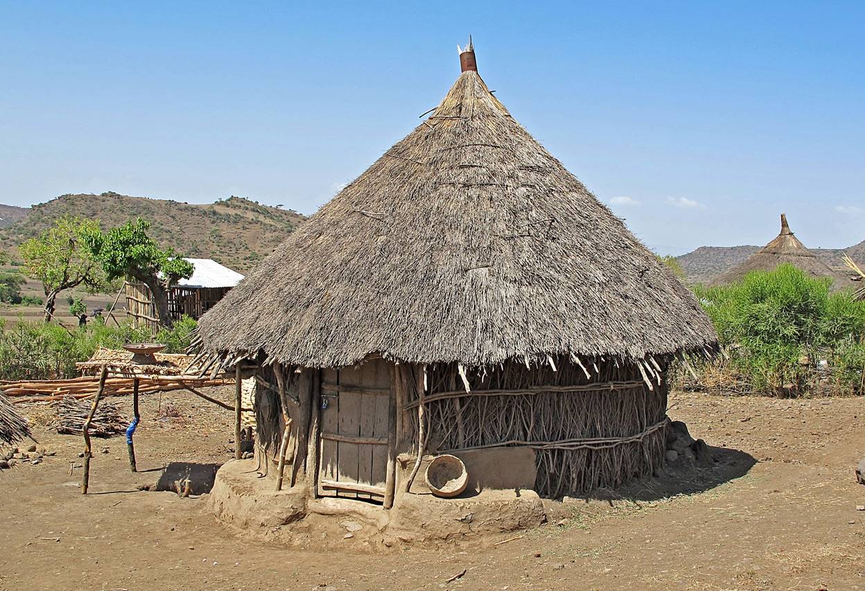
Huts (″toukouls″) between Bilbela and Lalibela (WP
#15).

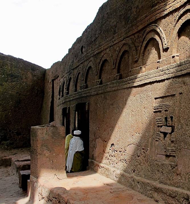
In Lalibela (WP #15). Click here
to see more pictures of Lalibela taken during this
trip.
|
|
|
![]()
Return to main Ethiopia 2012 webpage | Go to
pages: 1
| 2
| 3
| 4
| 5
| 6
| 7
| 8