Ethiopia (April-May 2012): Mekele-to-Lalibela-to-Debark
trek (page 7 of 8)
|
|
Return to main Ethiopia 2012 webpage | Go to
pages: 1
| 2
| 3
| 4
| 5
| 6
| 7
| 8
Map. (Click here to access the waypoints in Google Earth. Click
on the map to get a better-resolution picture of it.)
|
|
|
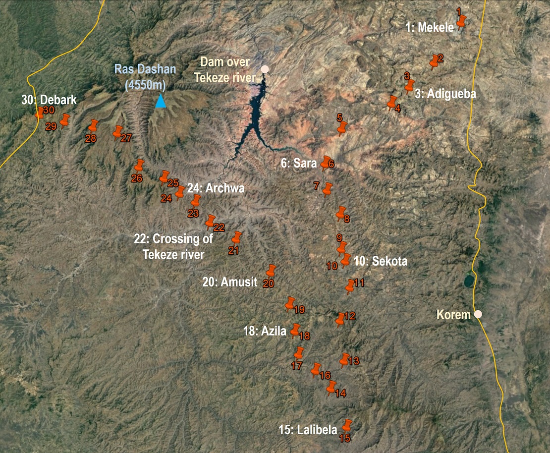
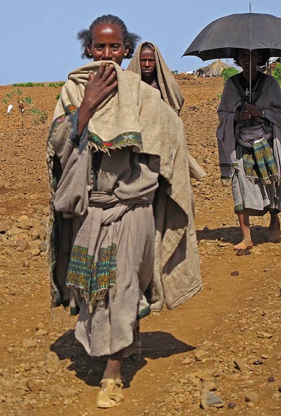
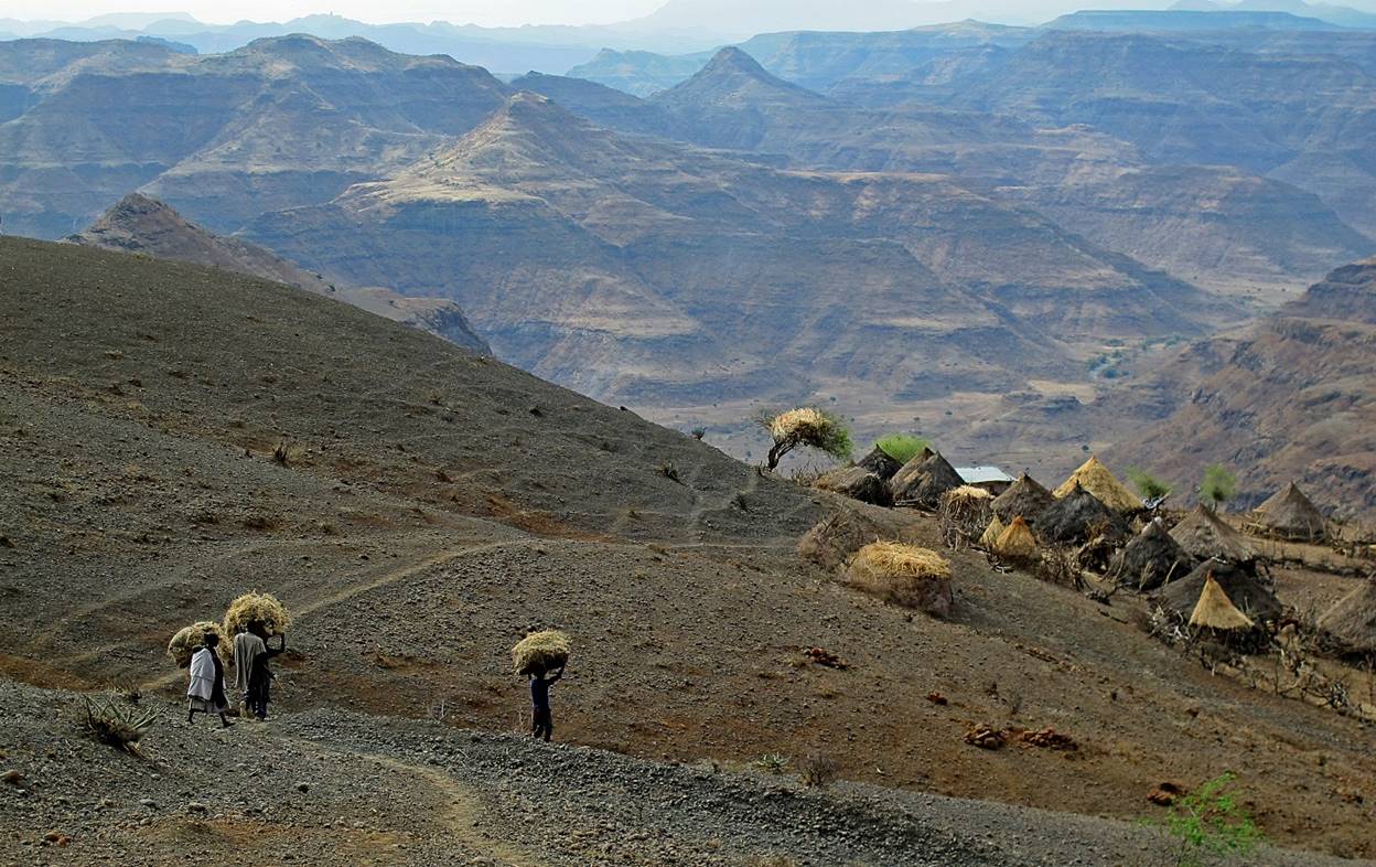
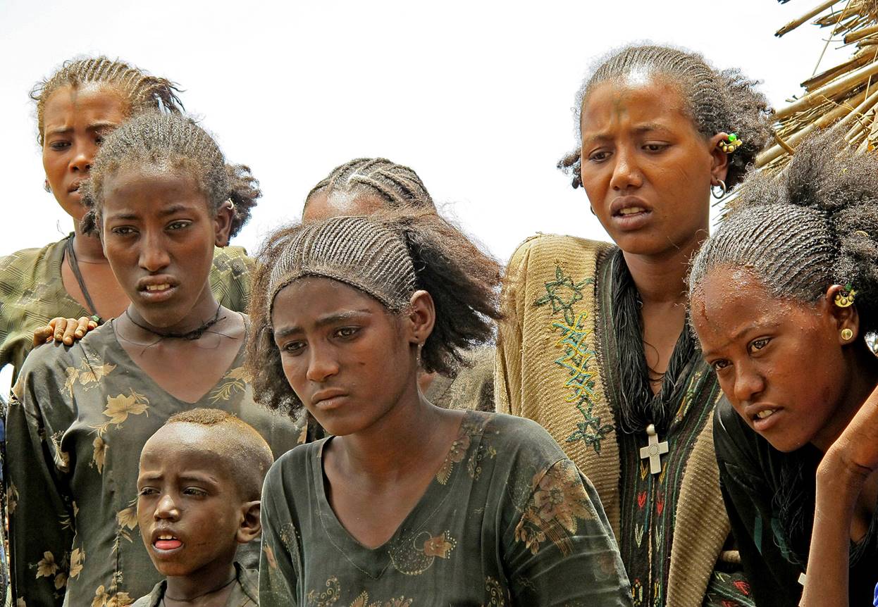
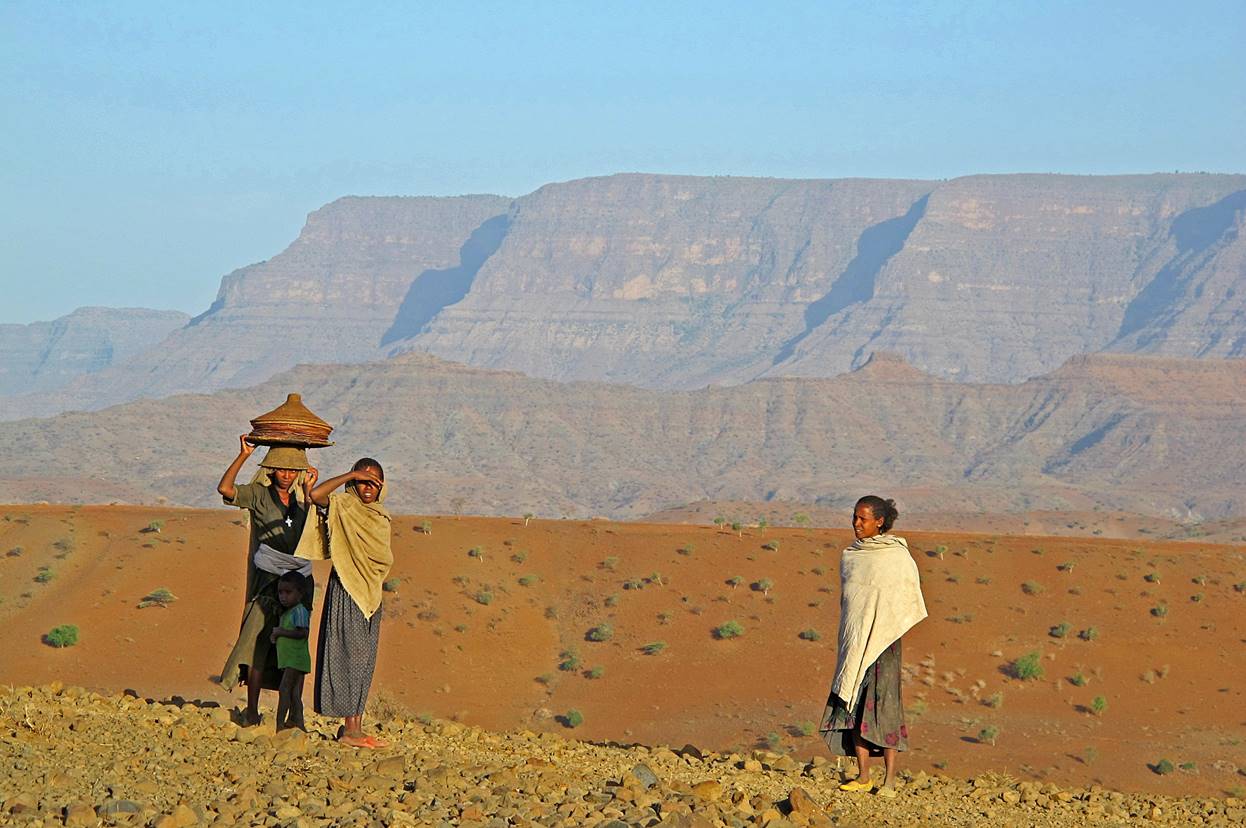
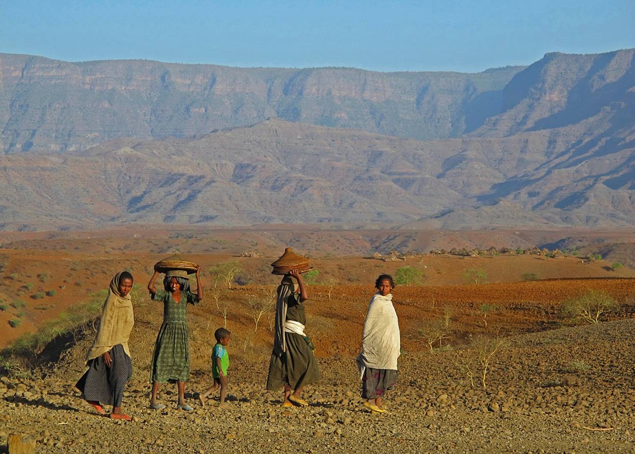
Women
encountered along the way after leaving the village of Amusit
(WP #20).
|
|
|
|
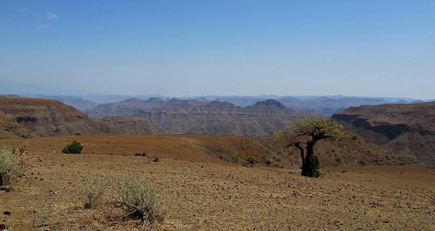
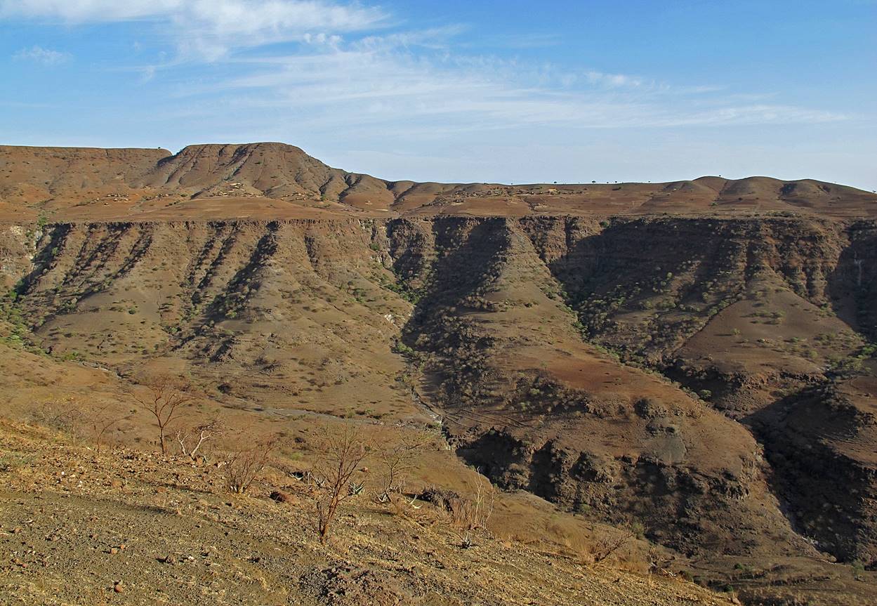
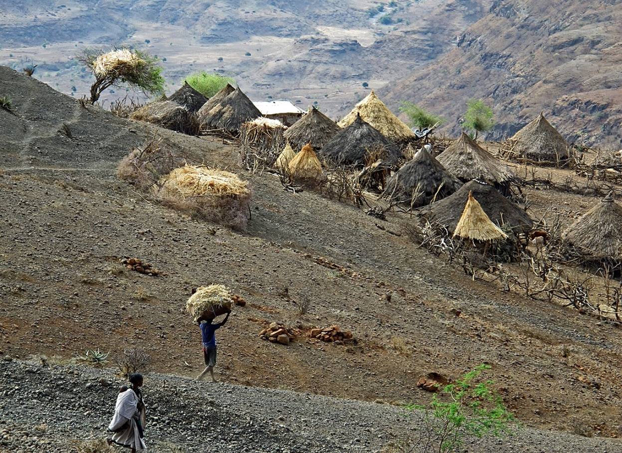
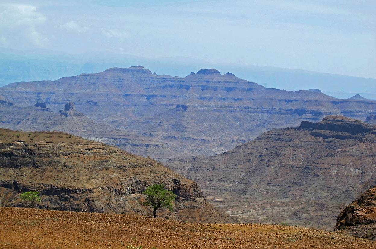
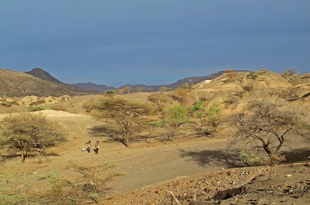
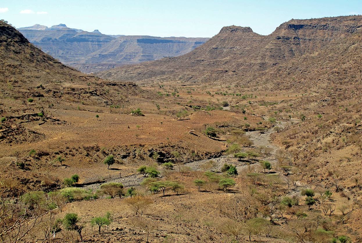
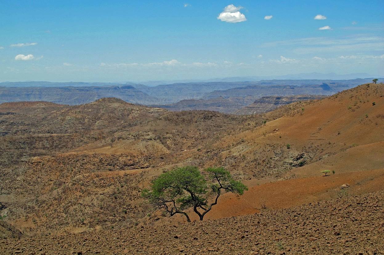
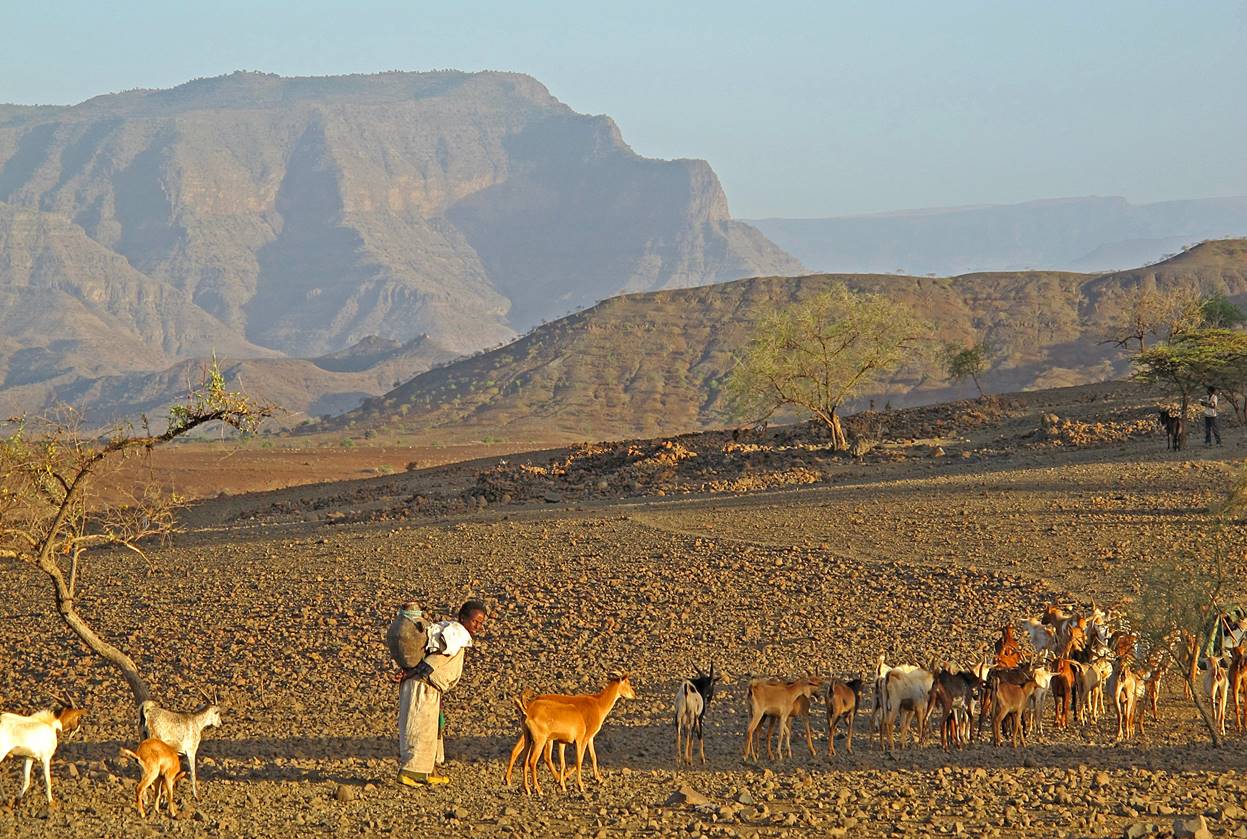
Further
on between WP #20 and WP #21 the landscape gets increasingly dryer.
″One wonders how people can live
here. Why are they here? At noon ground temperature must reach that of melting
metal, it must burn the feet, transform everything to ashes. Who ordered these
people to be banished so close to the sun? Why? For which sins? Their
existence is ignored by all.″ (Adapted from ″Ebony″, by Ryszard Kapuscinski.)
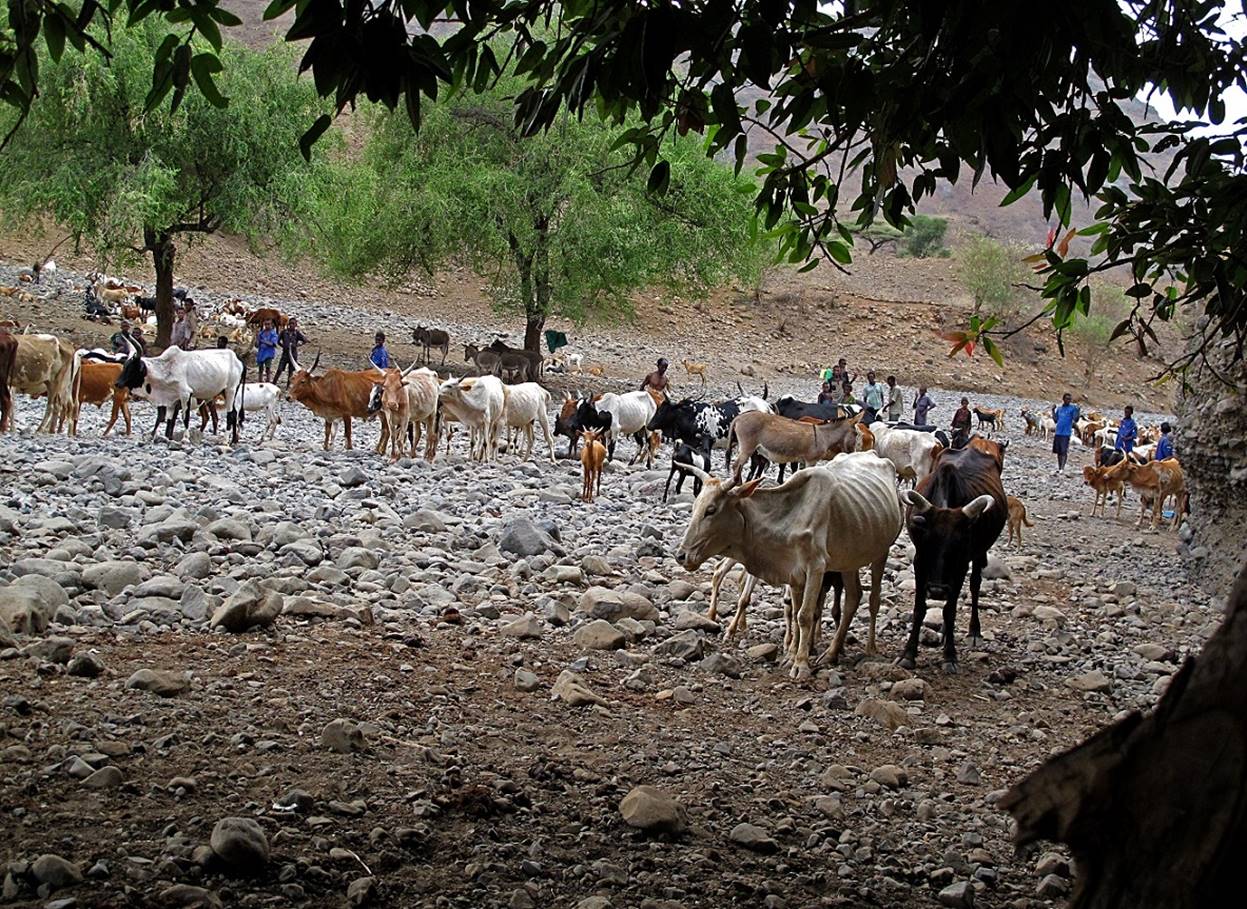
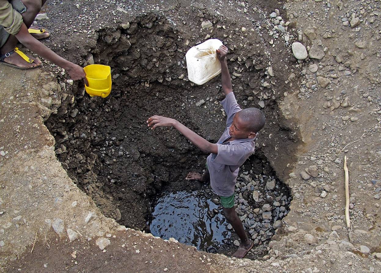
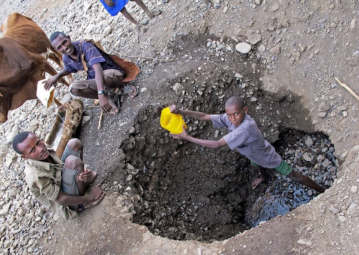
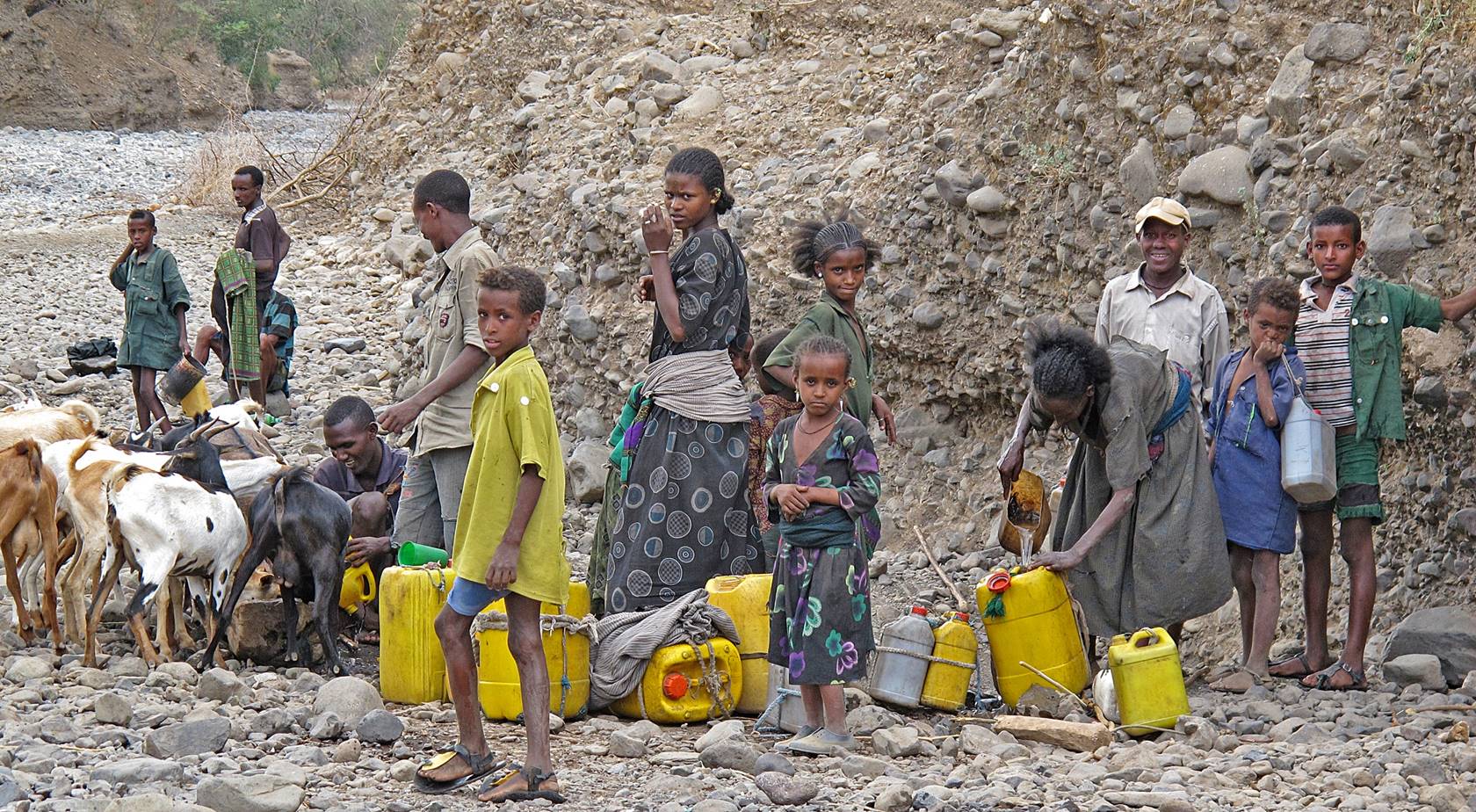
At a well dug into the bed of a dried river.
A boy was collecting water from the bottom of the well. In a well-organized
manner, several groups of skinny oxen, sheep, and goats, each under the control
of its herder, were taking turns to drink water. Other people were filling jerrycans to carry them back to their settlements.
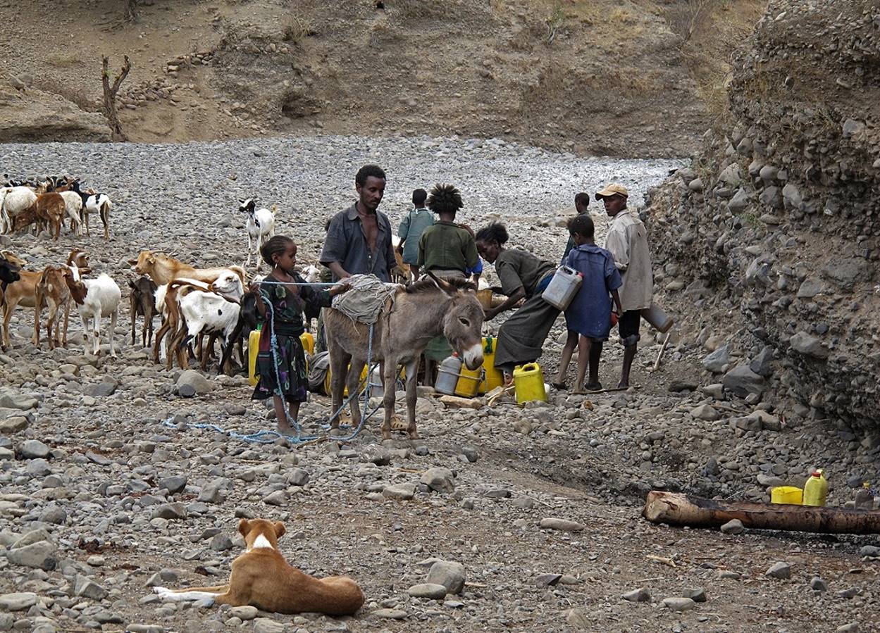
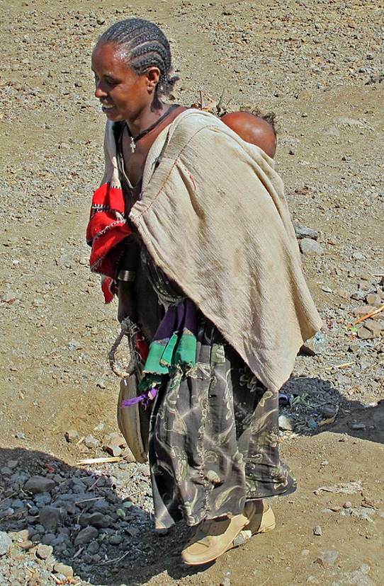
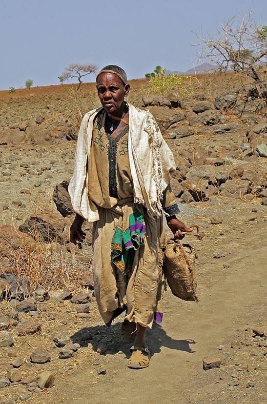
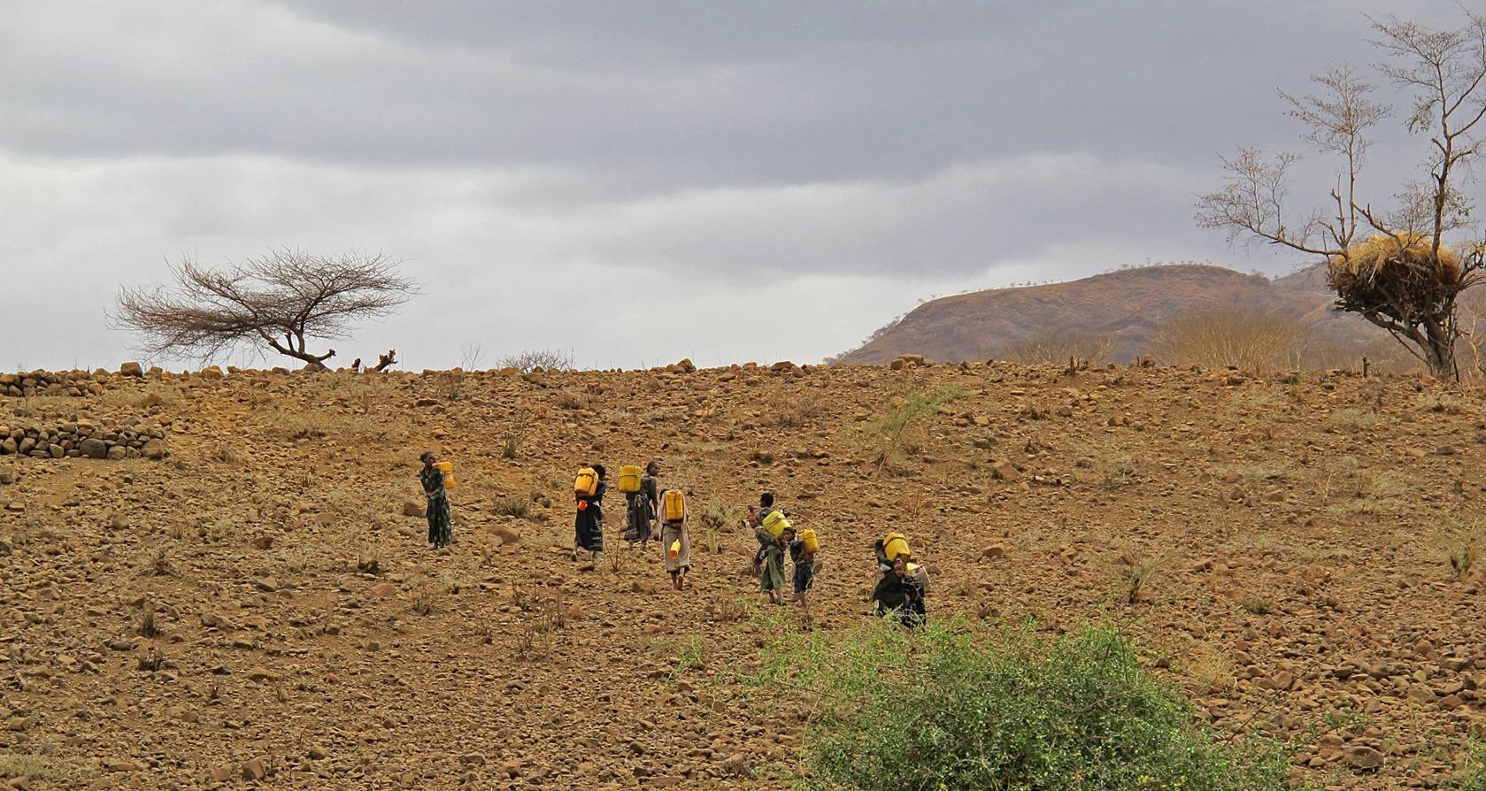
Women
carrying filled jerrycans back to their settlements.
Most jerrycans have a capacity of 40 liters.
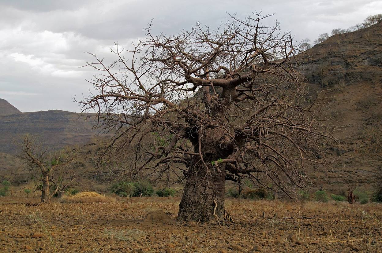
Baobabs
near WP #21.
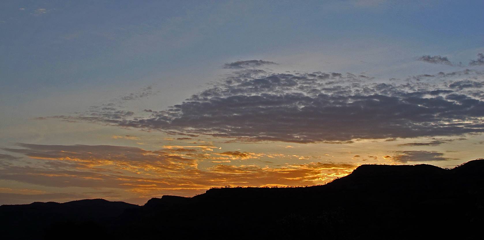
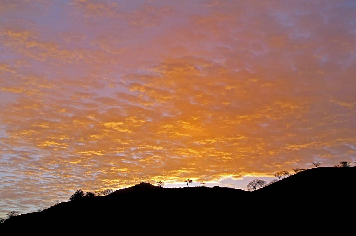
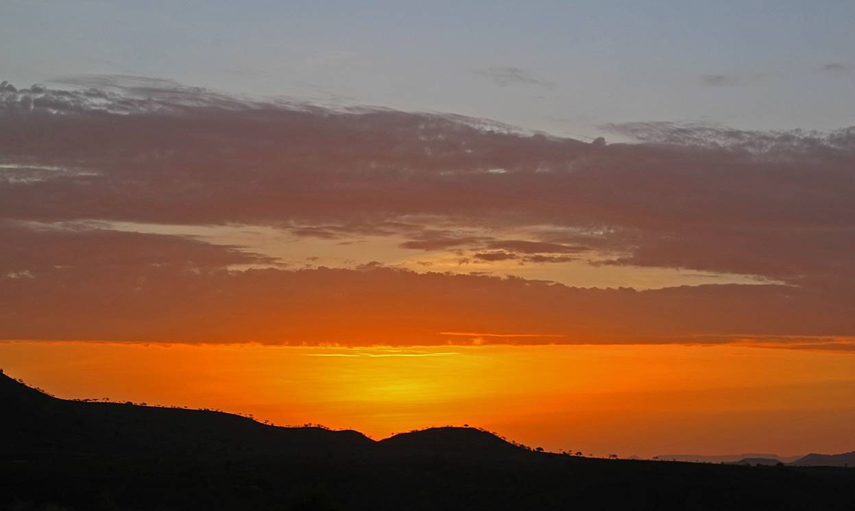
Sunset
at our camp at WP #21.
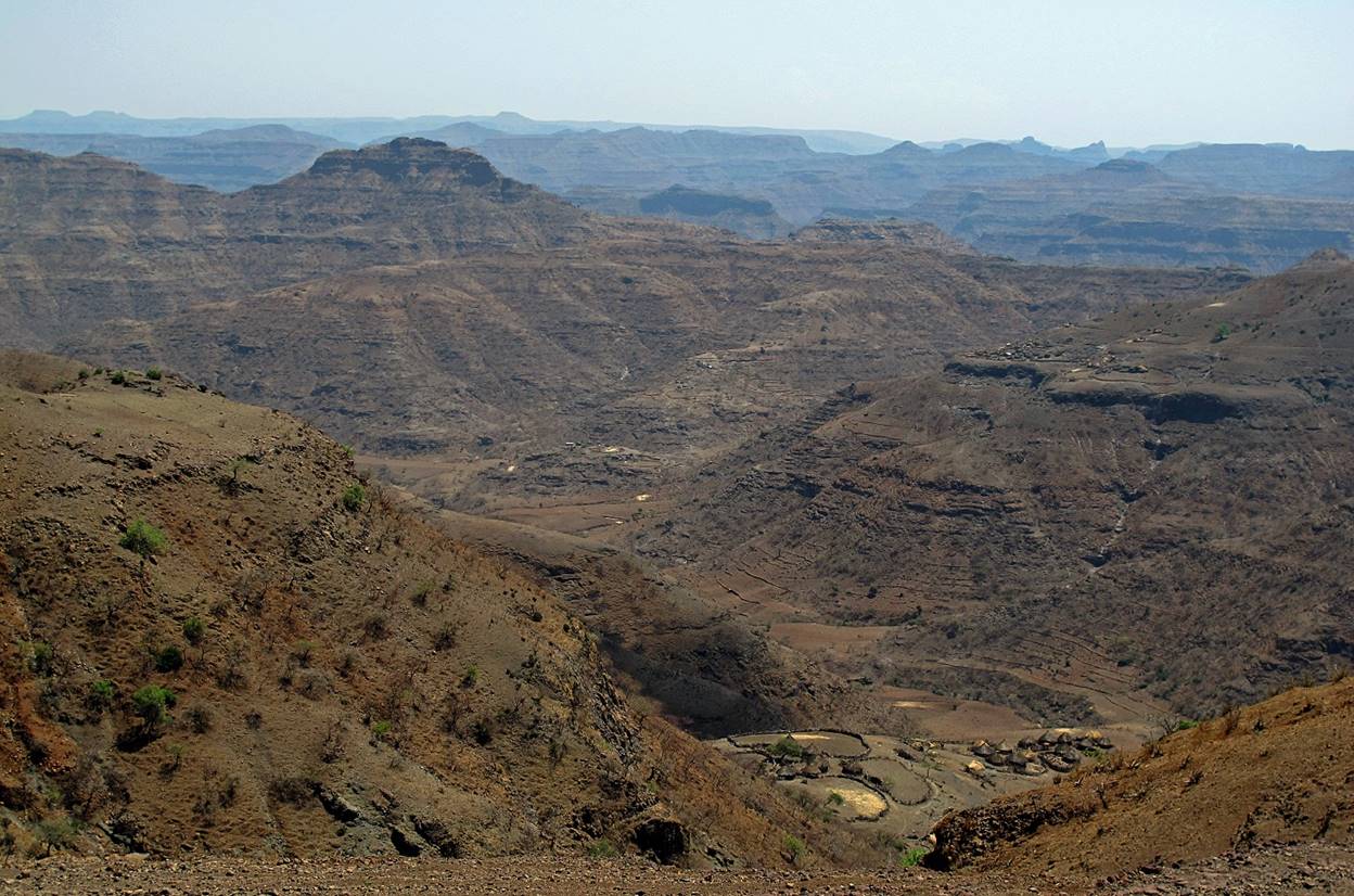
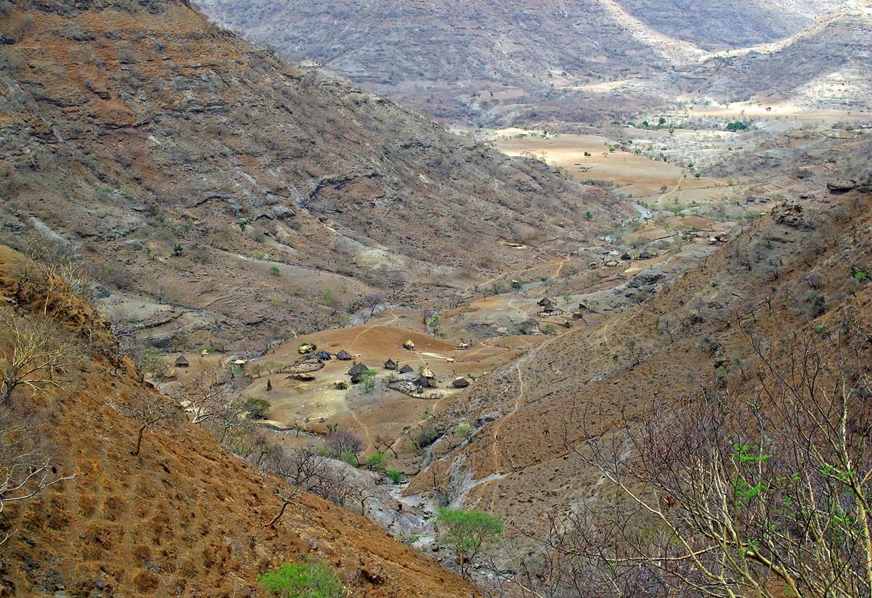
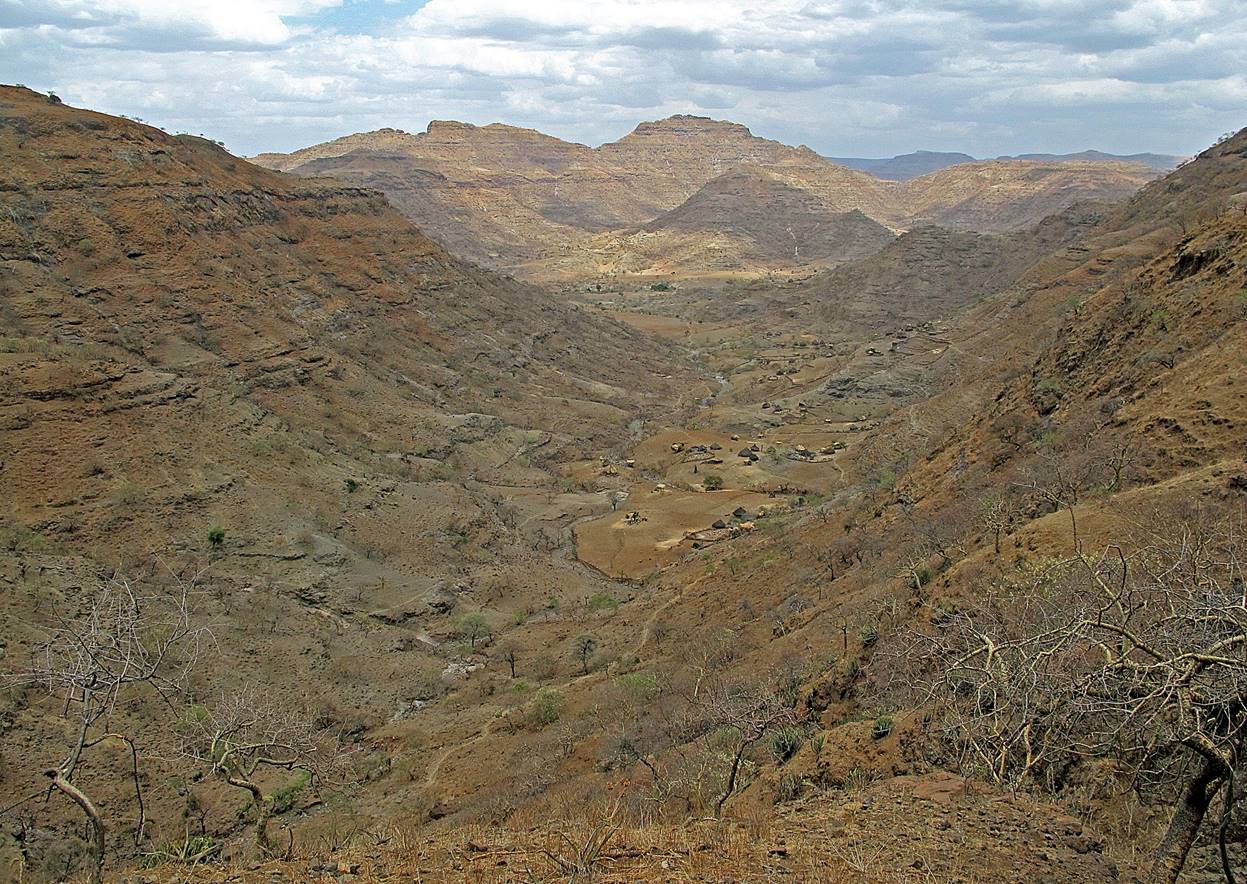
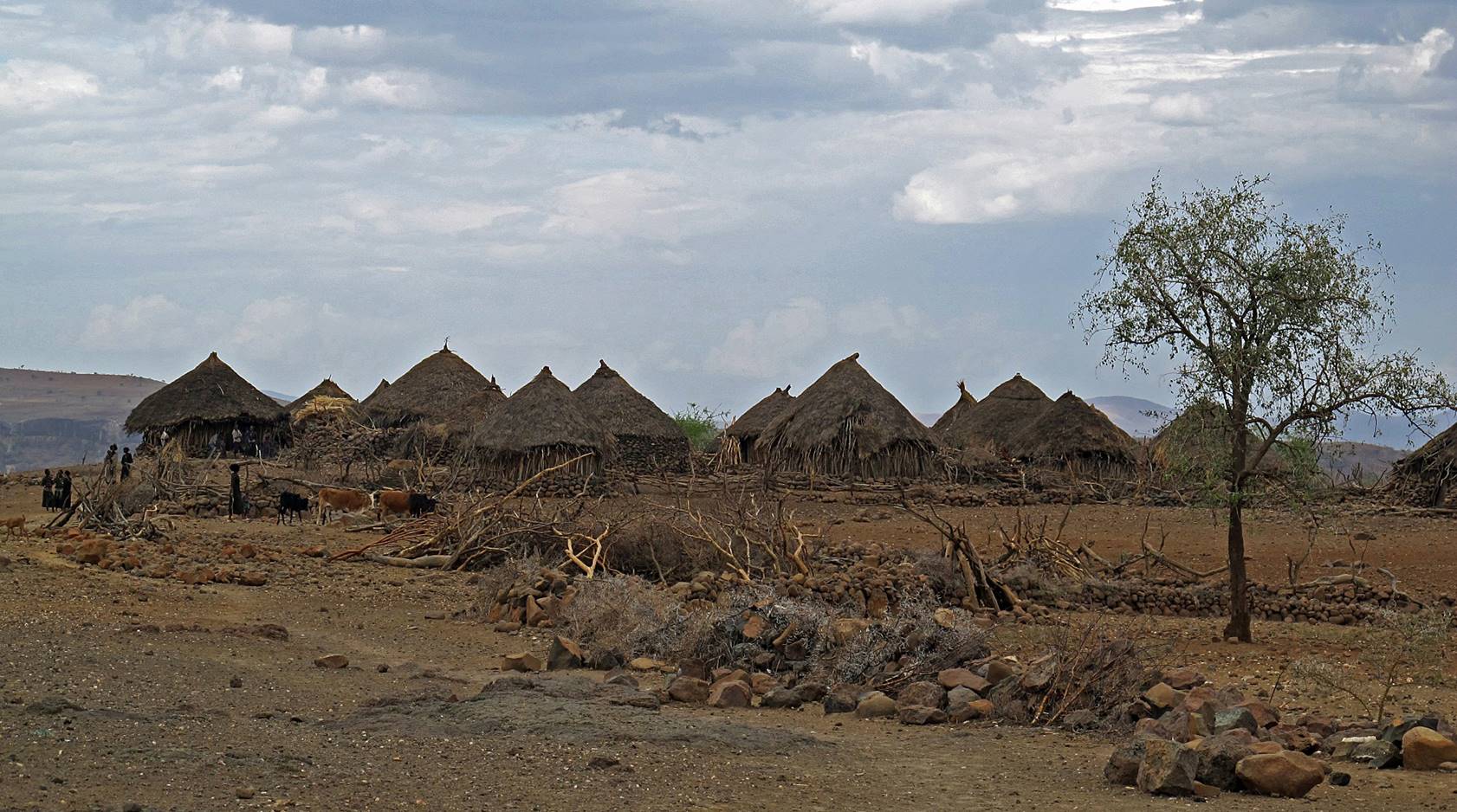
Between WP #21 and the village of Debize, located on the plateau above WP #22 (Tekeze river).

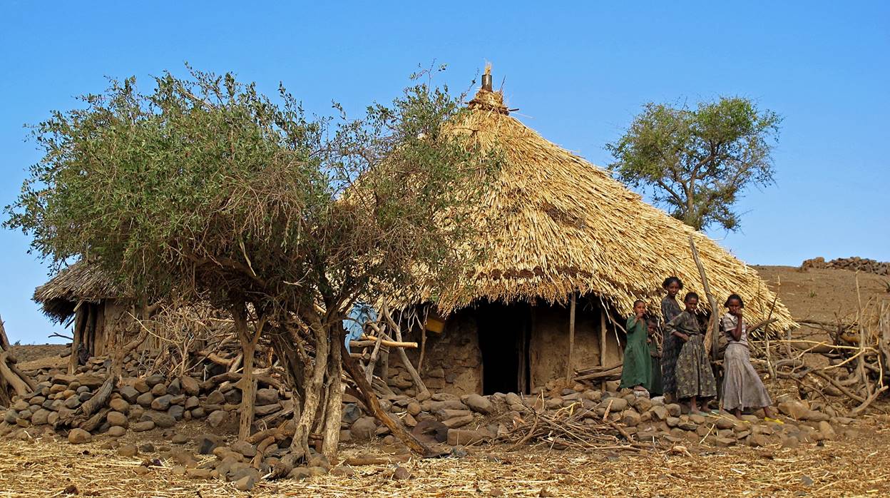


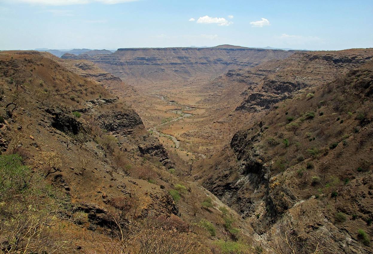
Left: reaching the village of Debize.
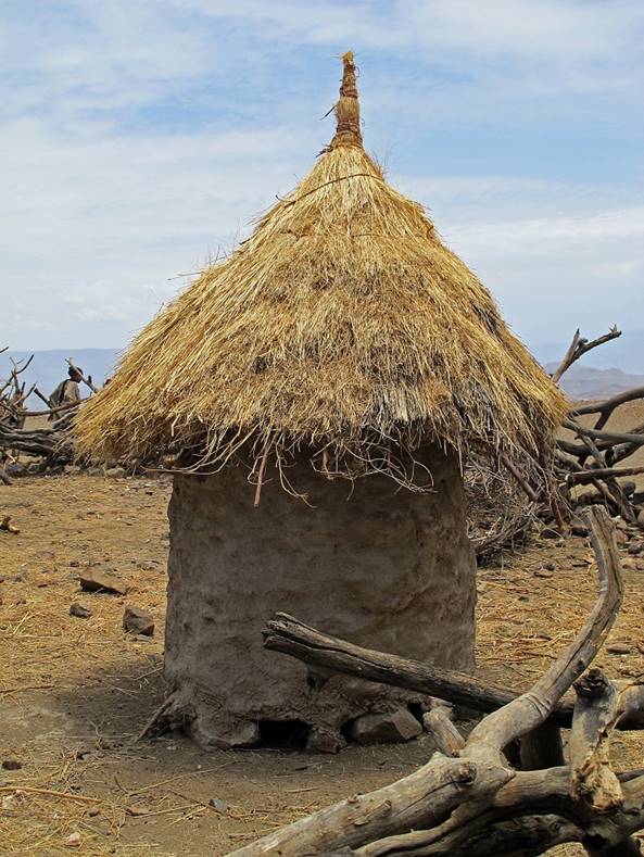
Right: Grain storage in Debize.
|
|
|
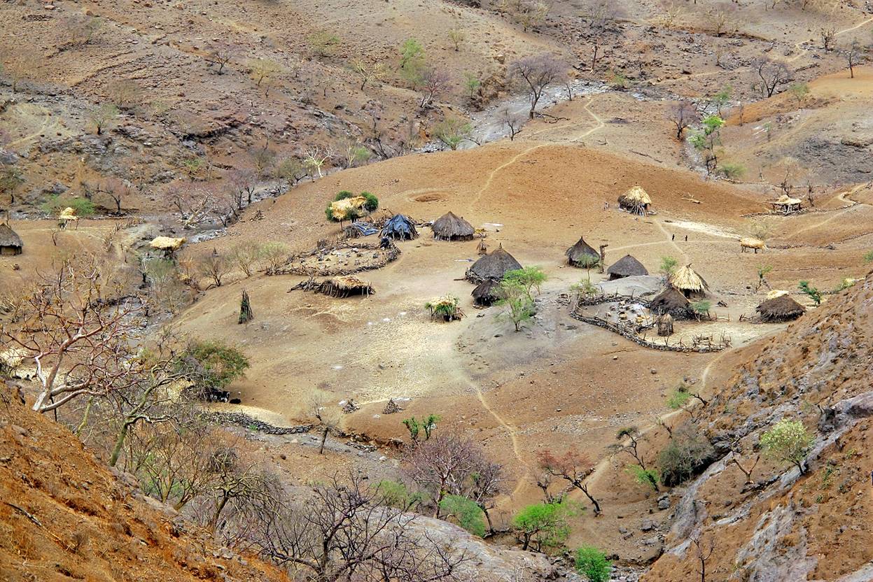
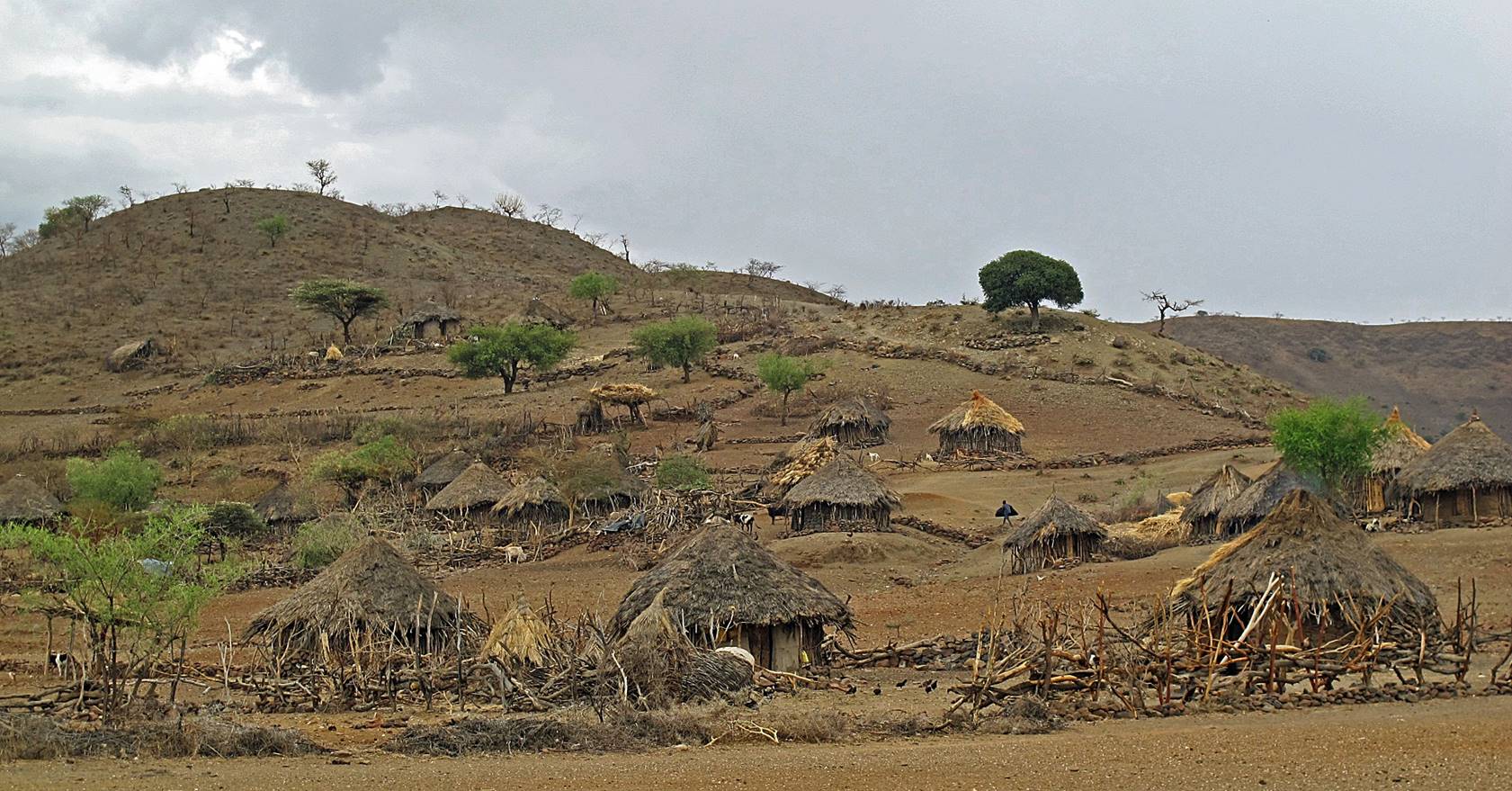
Views of Debize.
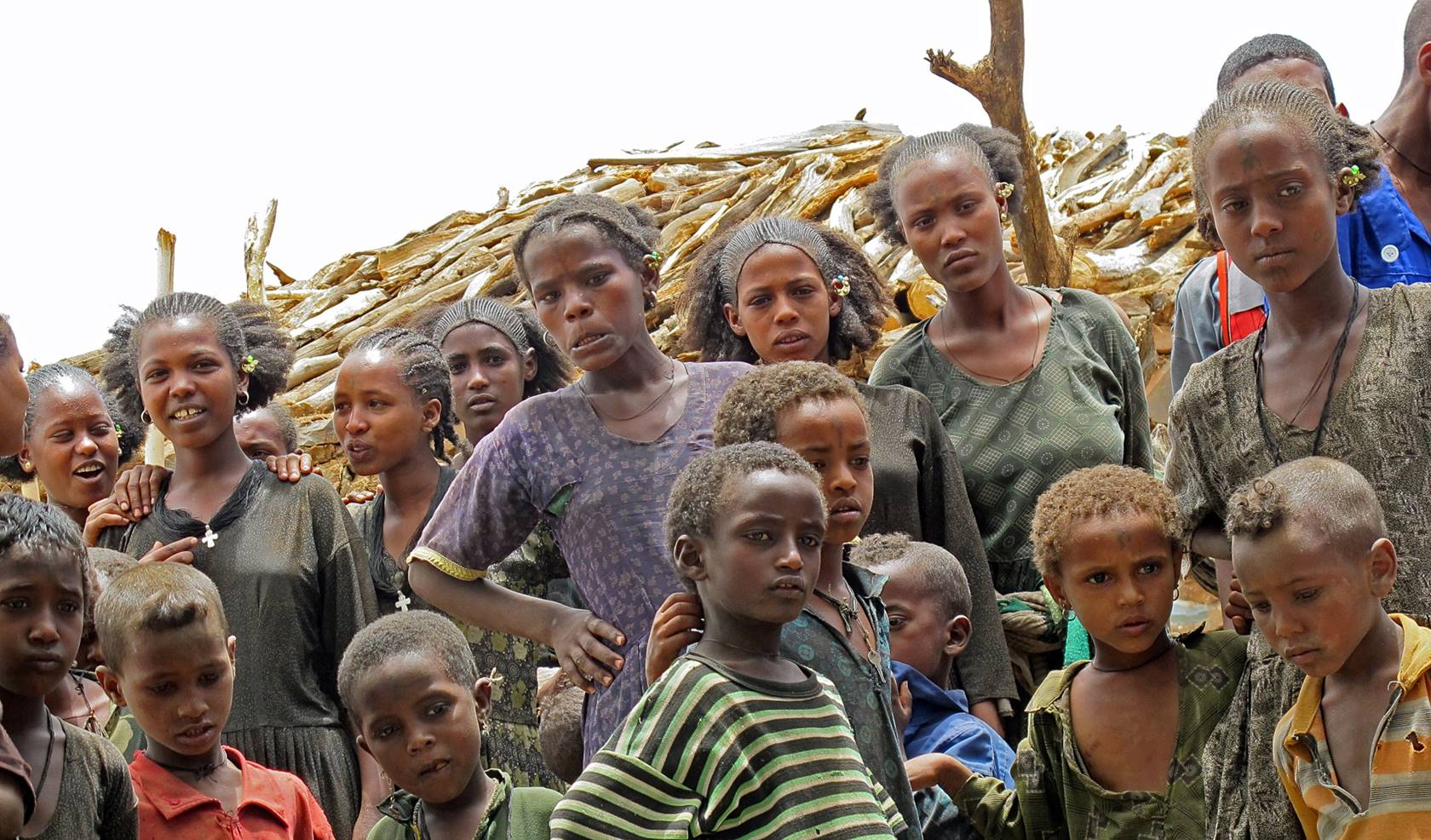
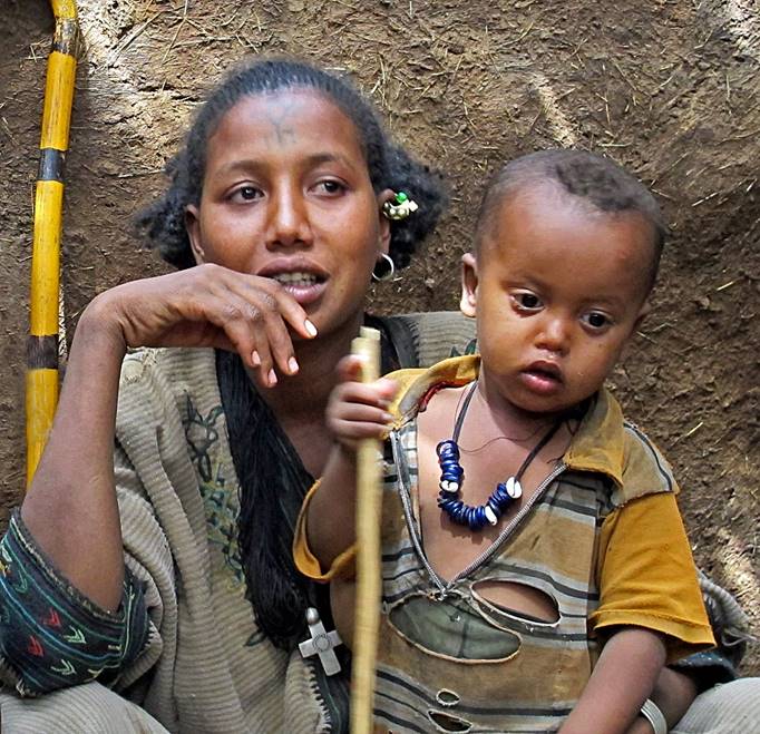
People in Debize. They
look interested and doubtful, trying to make sense of our presence.
|
|
|
|


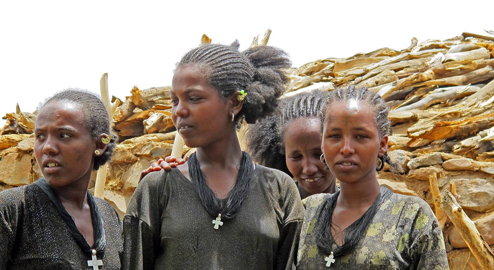
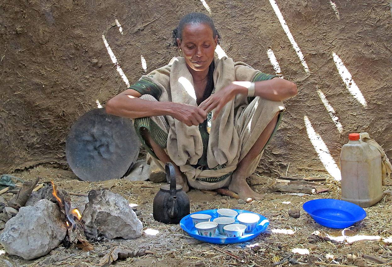
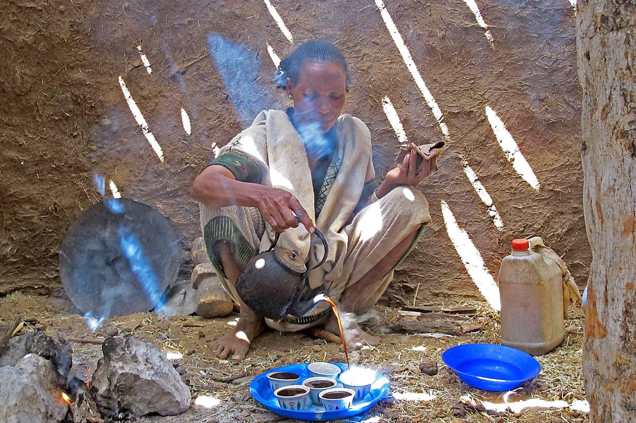
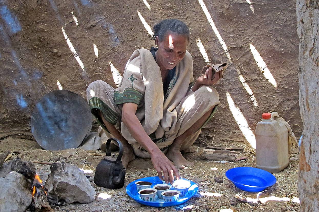
A nice woman prepared coffee for us.
Debize
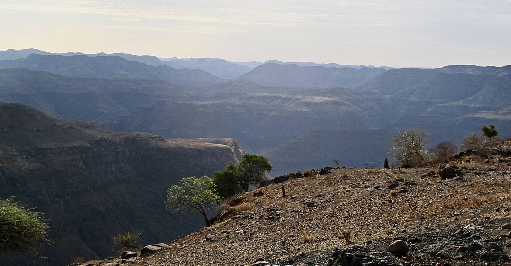
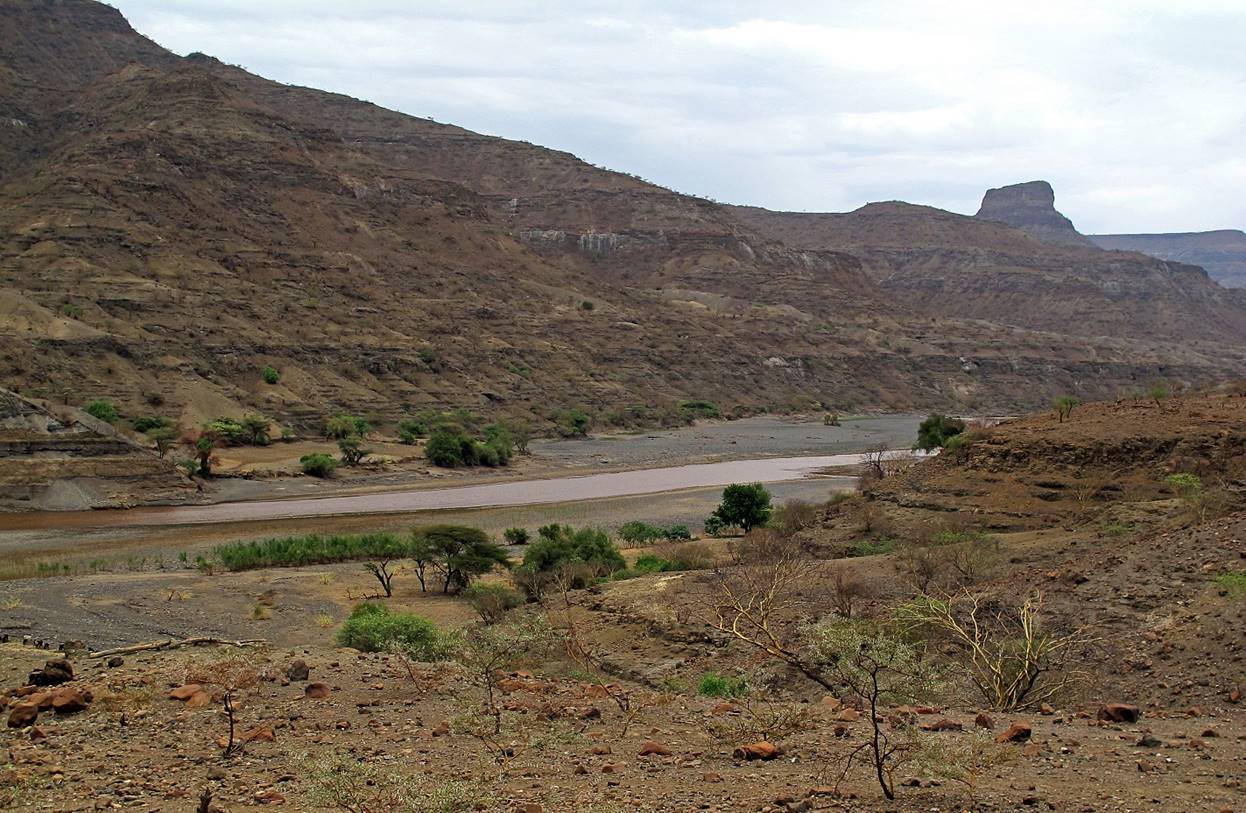
lies on the edge of a plateau. View from this edge toward the Tekeze river visible at the bottom
of the valley in the middle of the photo.

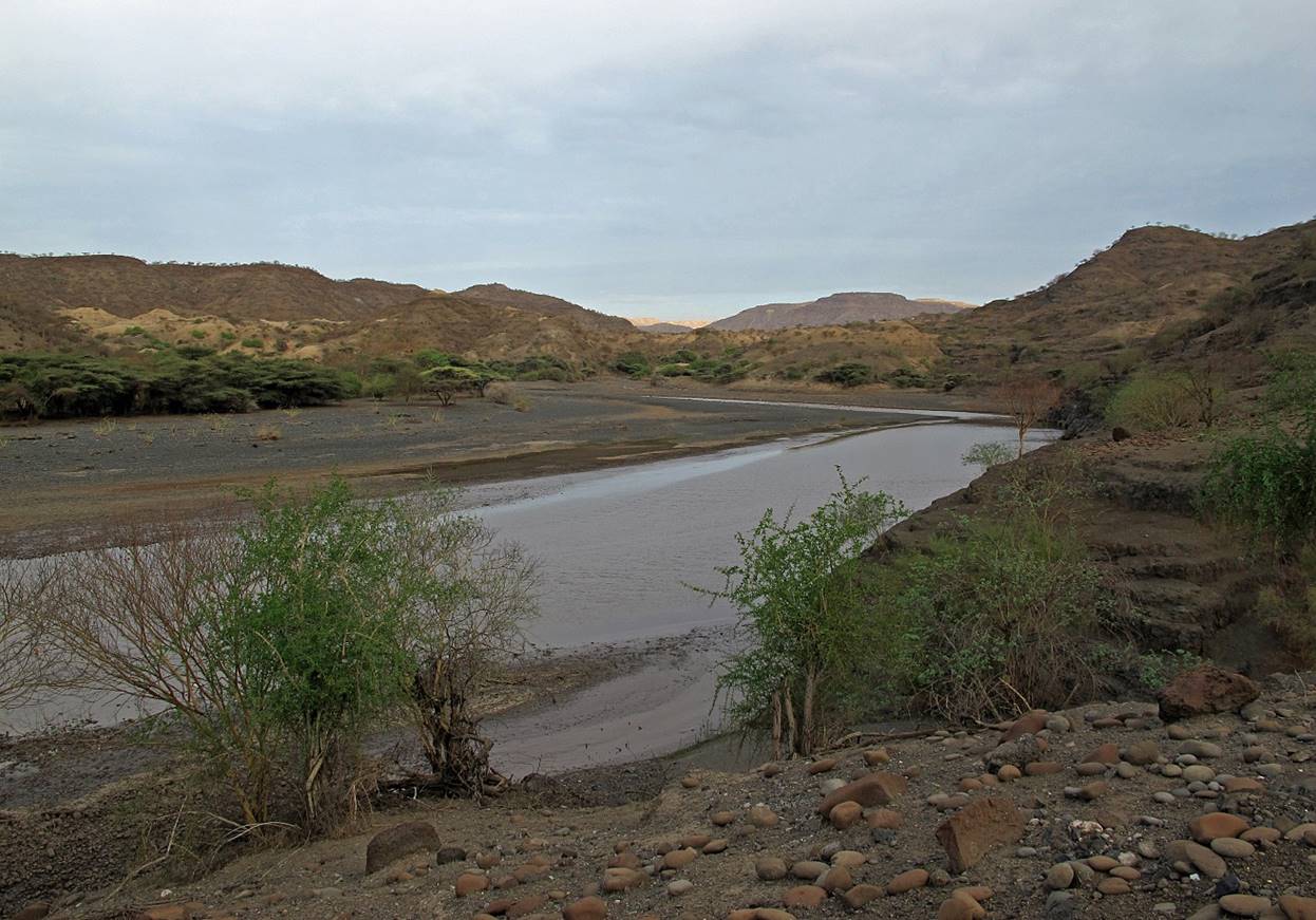
Reaching
the Tekeze river.
The Tekeze river at WP #22 where we put one of our camps. There was a
nice source of clear water close to our camp slightly above the river.

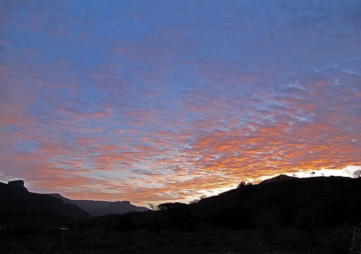
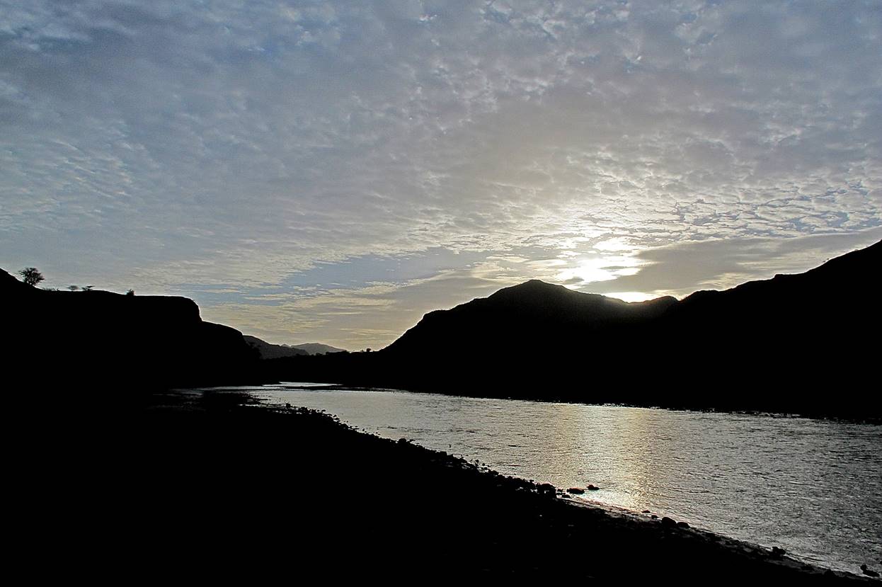
Sunrise
seen from our camp at WP #22.
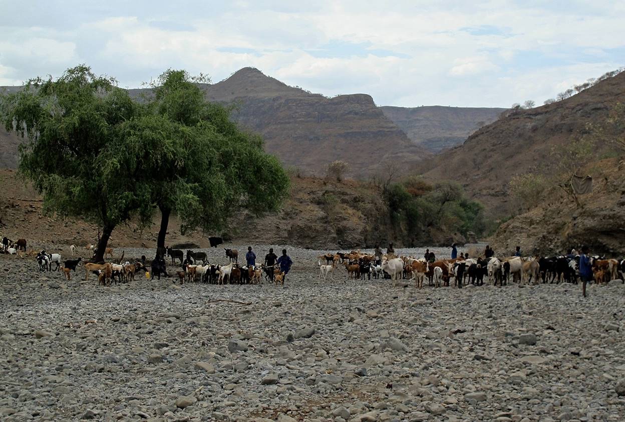
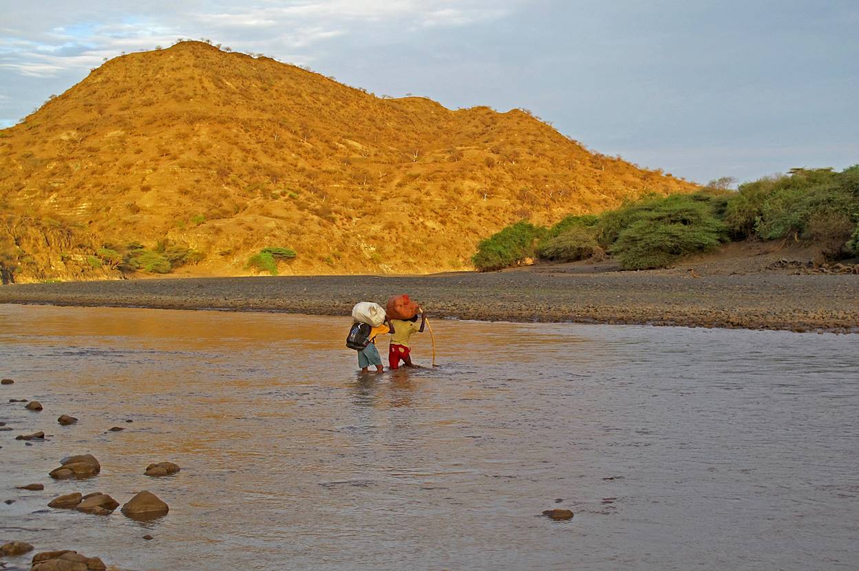
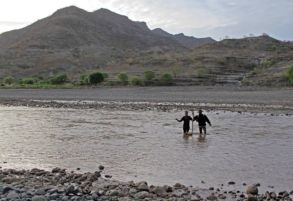
Fording Tekeze river in the early morning. Nile crocodiles
inhabit the river. Local herders helped us to cross safely.
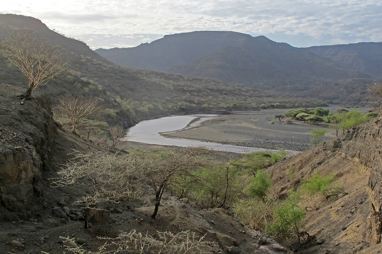
Light
play of clouds and sun over the Tekeze river.
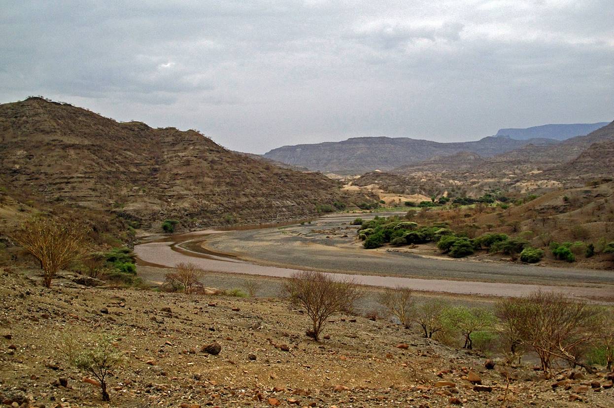
More
views of the Tekeze river.
We followed the river upstream for a couple of kilometers before climbing into
a side-canyon (second photo below).
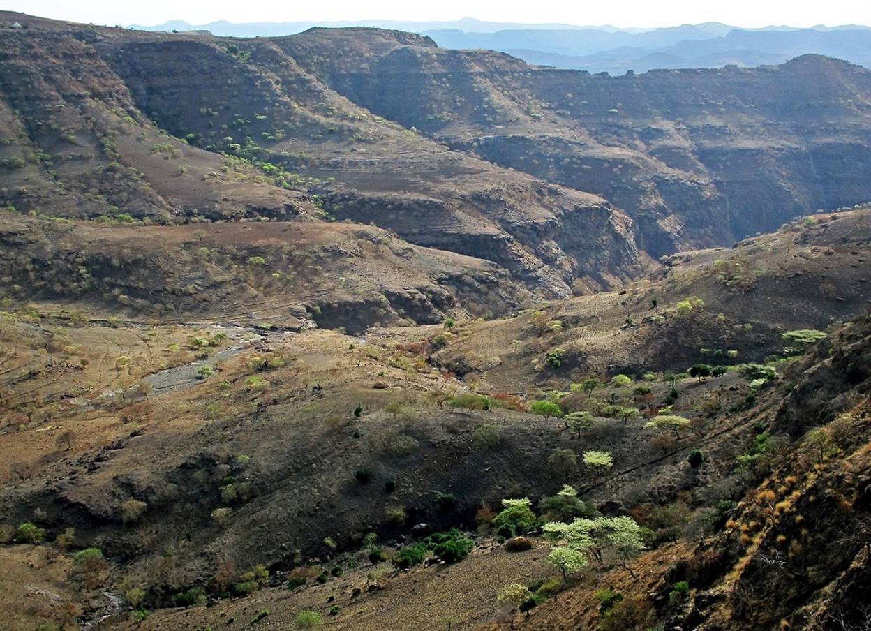
In
the side-canyon.

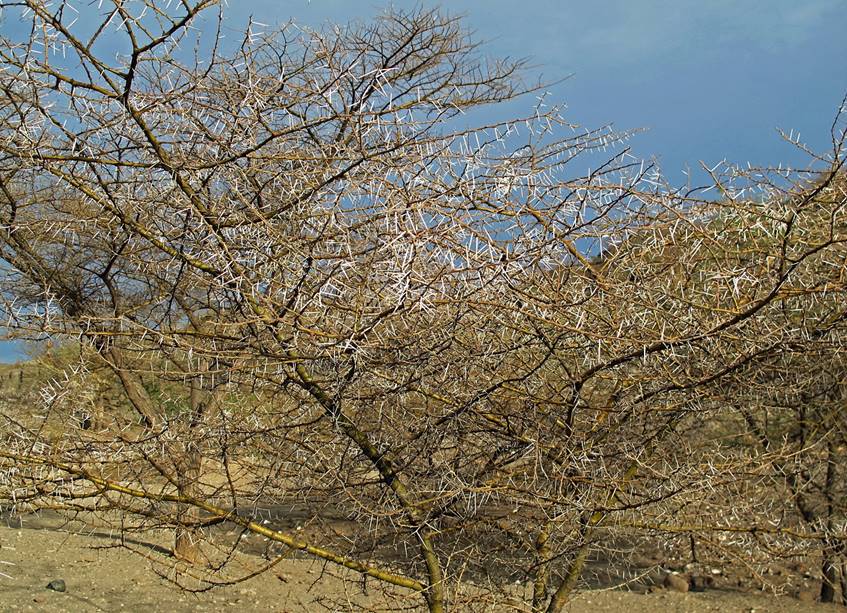
Thorny
trees. Long thorns are the best defense against goats.
|
|
|

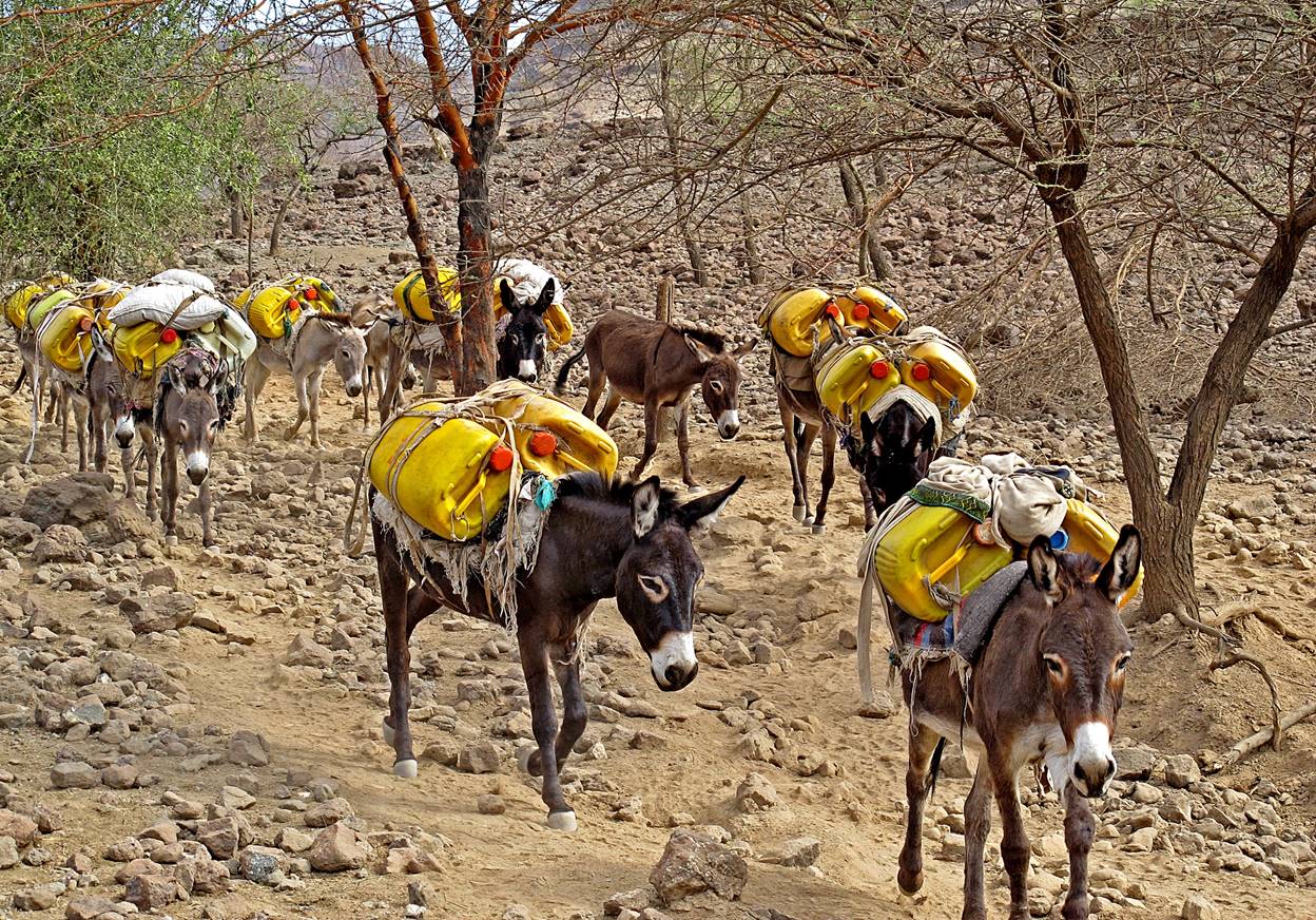
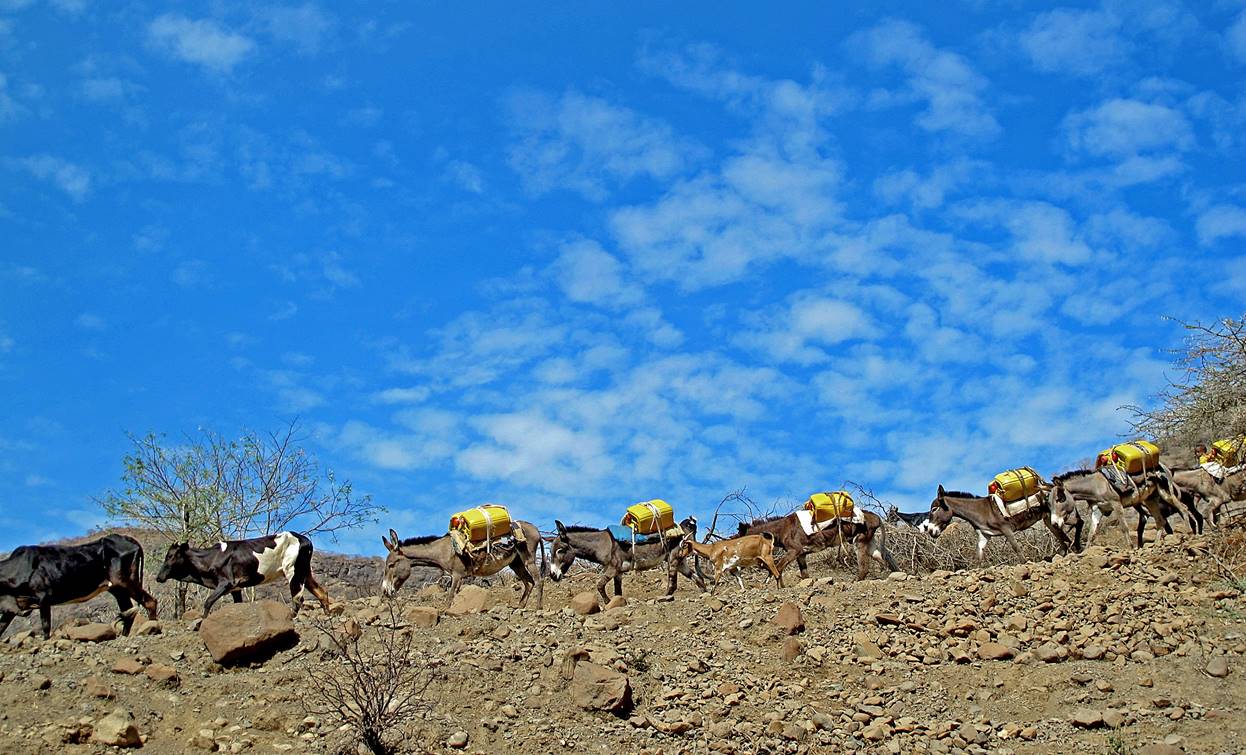
Donkeys
carrying water from the Tekeze river.
Villages located several hundred meters above the Tekeze river have no water during the dry season. Every morning a
group of donkeys and people go down to a small source near the Tekeze river, filled the jerrycans,
and return to their villages. They bring about 40 liters per family.
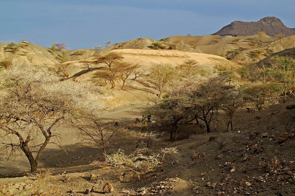
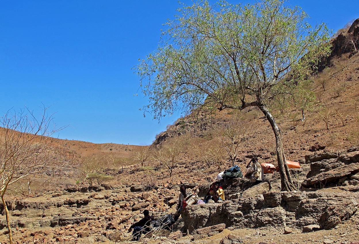
Taking
a rest in the meager shade of a tree. But a meager shade is better than none.
View
over the side-canyon we just climbed, before reaching the plateau.
Reaching
the plateau.
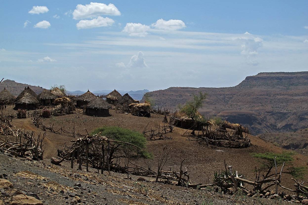
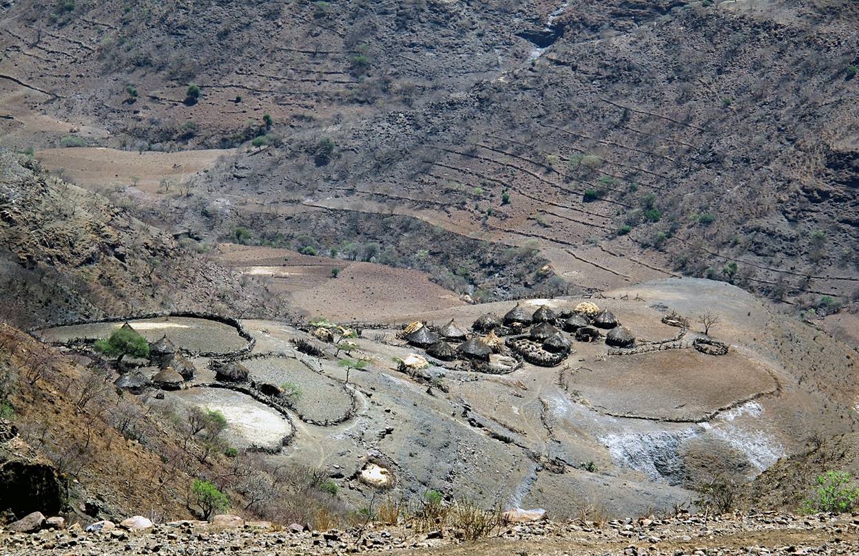
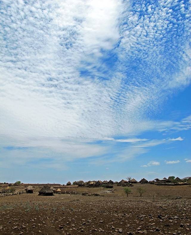
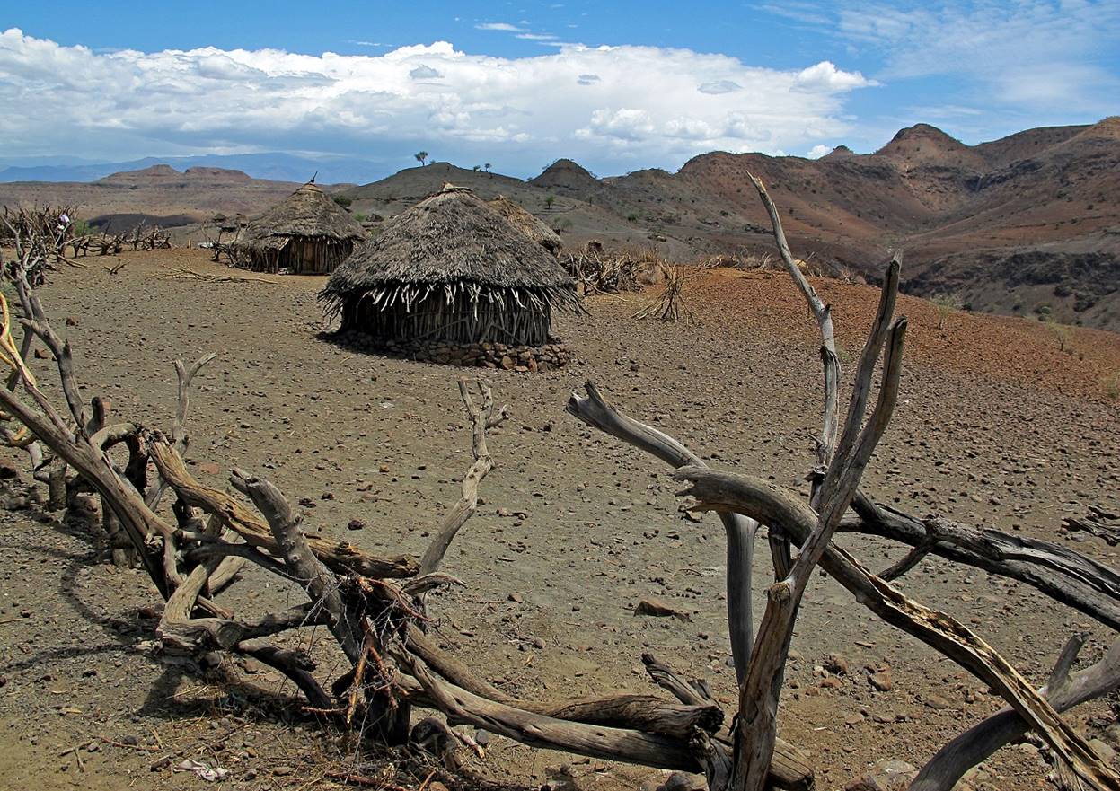
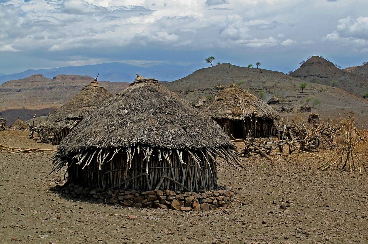
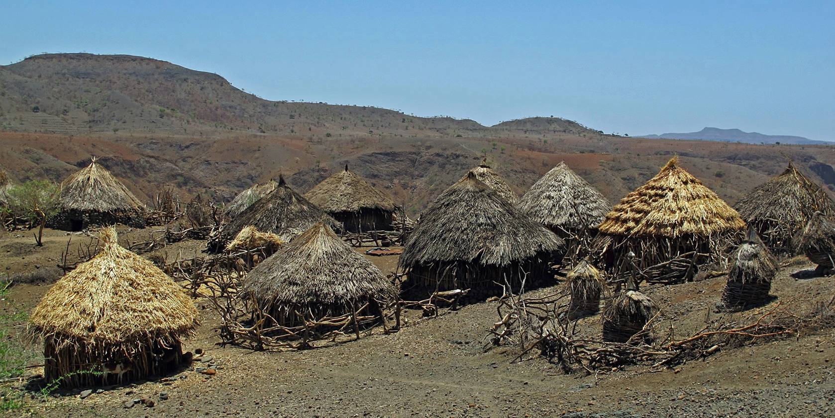
Village
of Chinamba (WP #23).

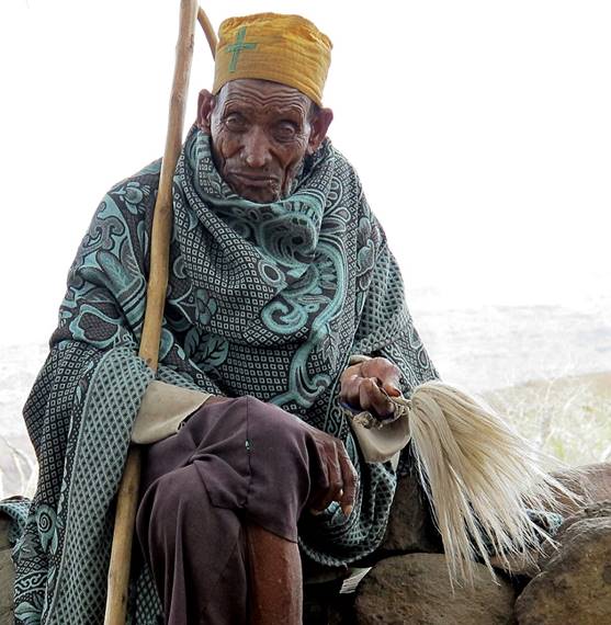
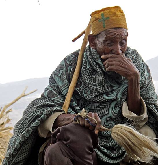
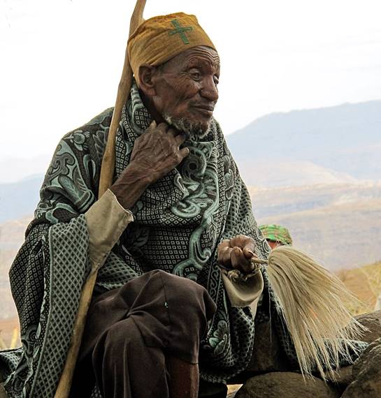
Orthodox
monk in Chinamba.
″It
is easy to become a monk in one's old age.″ (Ethiopian proverb.)
|
|
|
|
Sunset
at Chinamba.
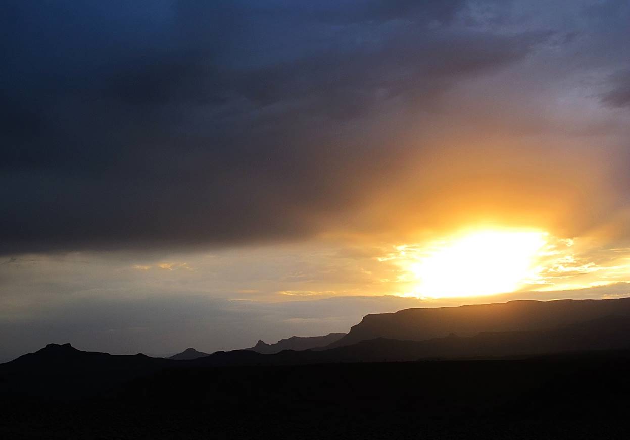
Sunrise
at Chinamba.

Early
morning scenes in Chinamba.
Village of Archwa (WP #24).

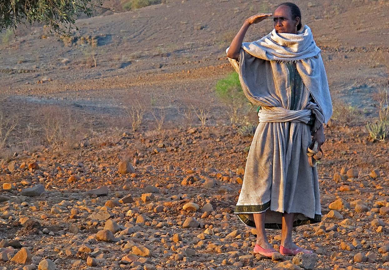
Sunrise seen from Archwa.
Woman
looking at the sunrise.
![]()
Return to main Ethiopia 2012 webpage | Go to
pages: 1
| 2
| 3
| 4
| 5
| 6
| 7
| 8