Ethiopia (April-May 2015)
3. Gabriel Wukien to Axum via Damo Gellila
|
|
Return to main Ethiopia April-May 2015 webpage
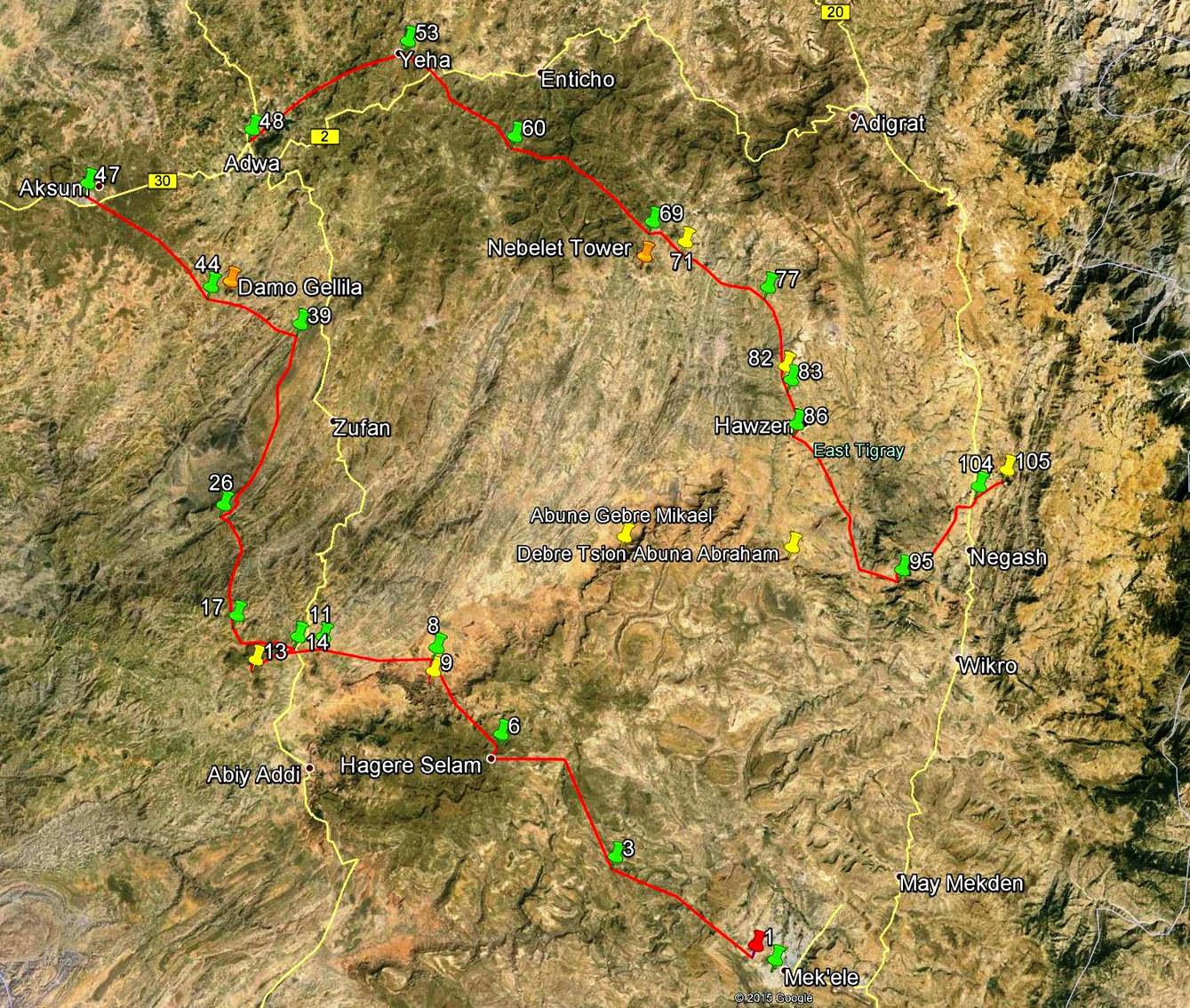
To see the map below
with a better resolution in another tab, click here.
To see all the waypoints in Google Earth, click here (.kmz file).
This page covers the section of the red path between waypoints 14 and 47.
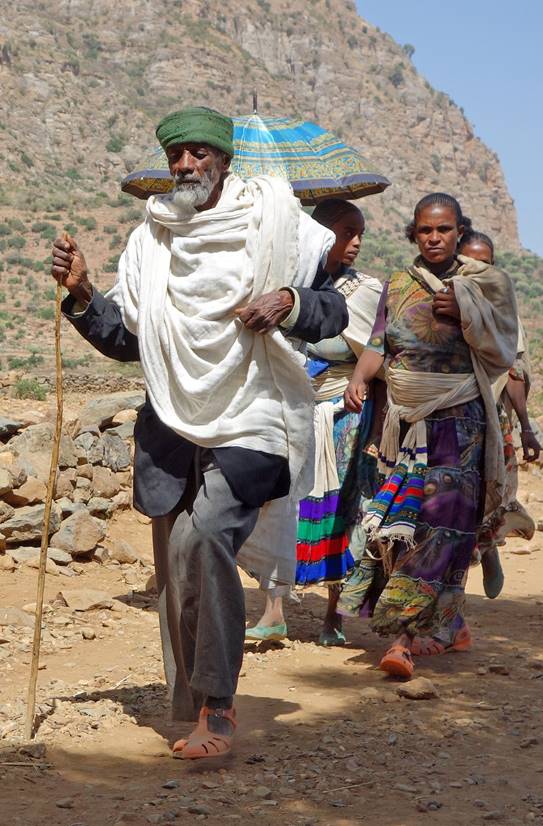
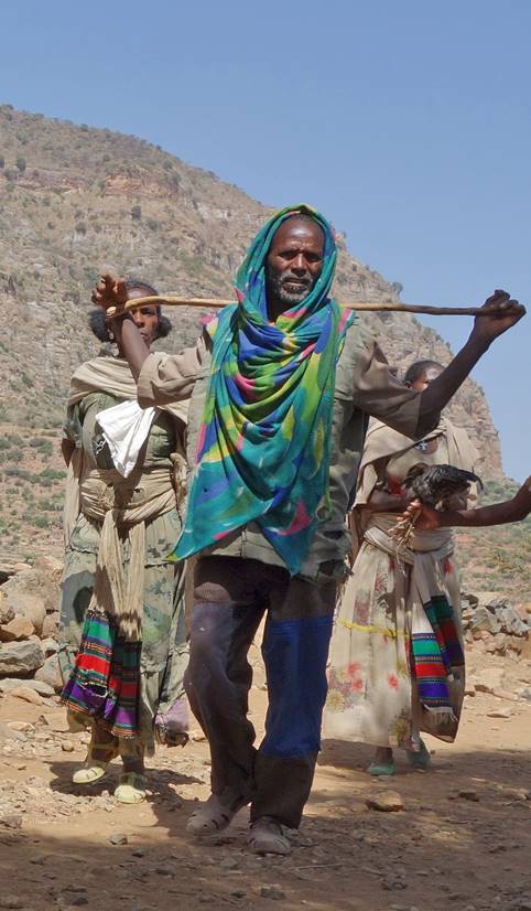
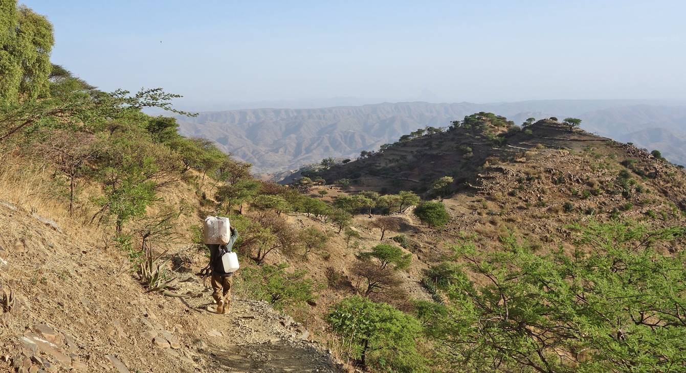
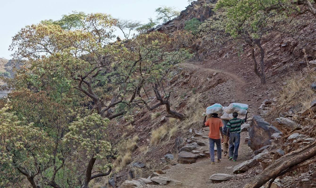
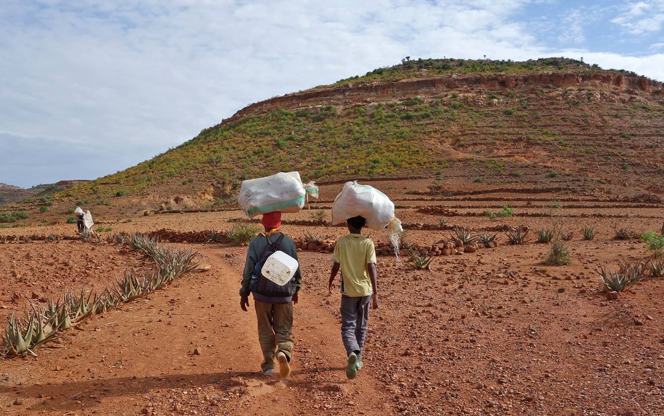
Just after leaving
our 5th camp (waypoint 14) we crossed many villagers going to a
market, probably in Werkamba. I stopped and took a
few photos. My interpretation of the scene in the rightmost photo is the
following: the man is trying to sell a chicken to the woman at a reduced price
(if he succeeds he will not have to carry the chicken to the market and he will
have immediate cash to buy other products); the woman is interested by the
discounted price, but wonders if she may get a better chicken or better deal at
the market.
|
|
|
|

School along the way.

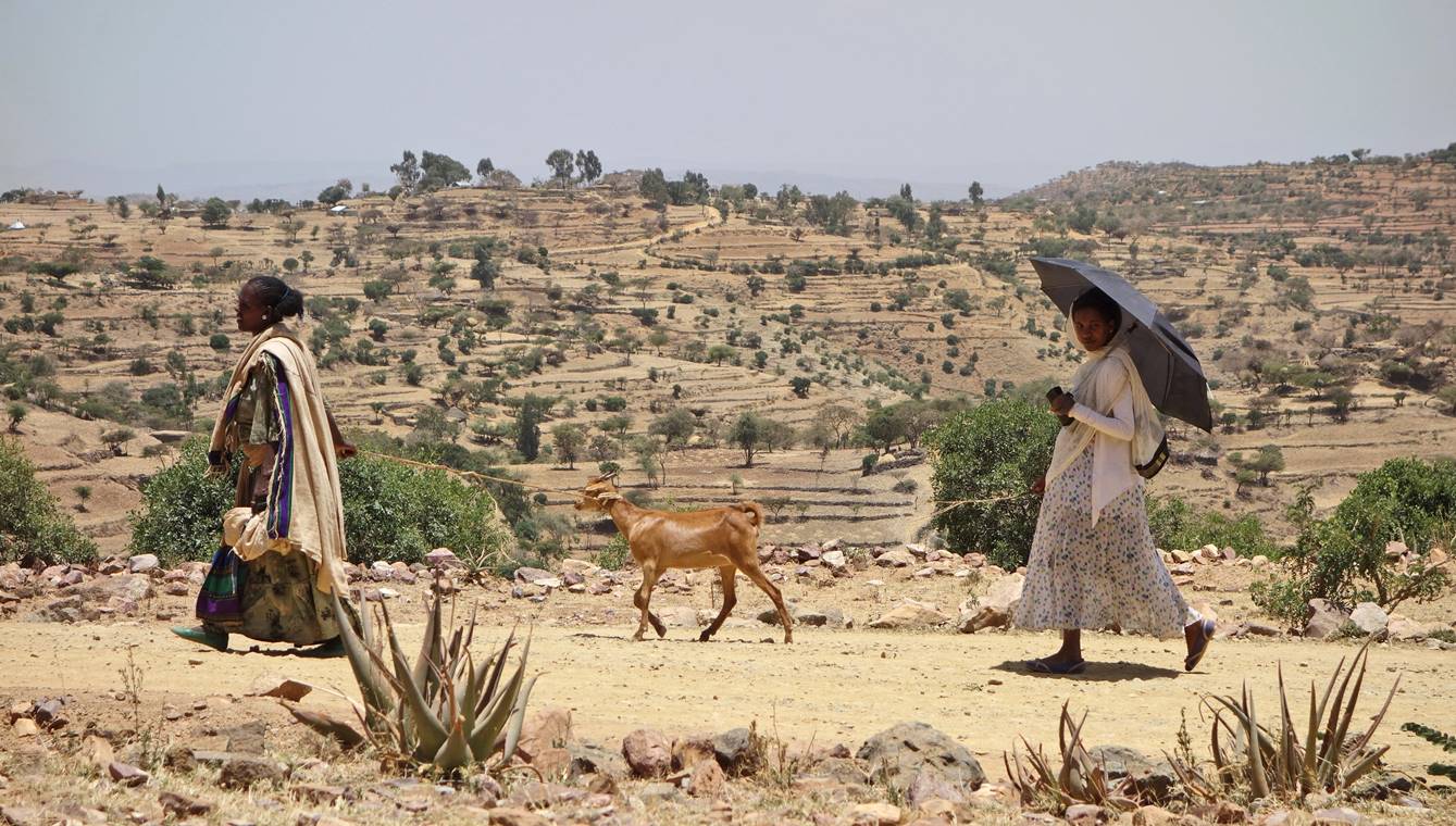
Women walking in the
sun.
Traditional farm.

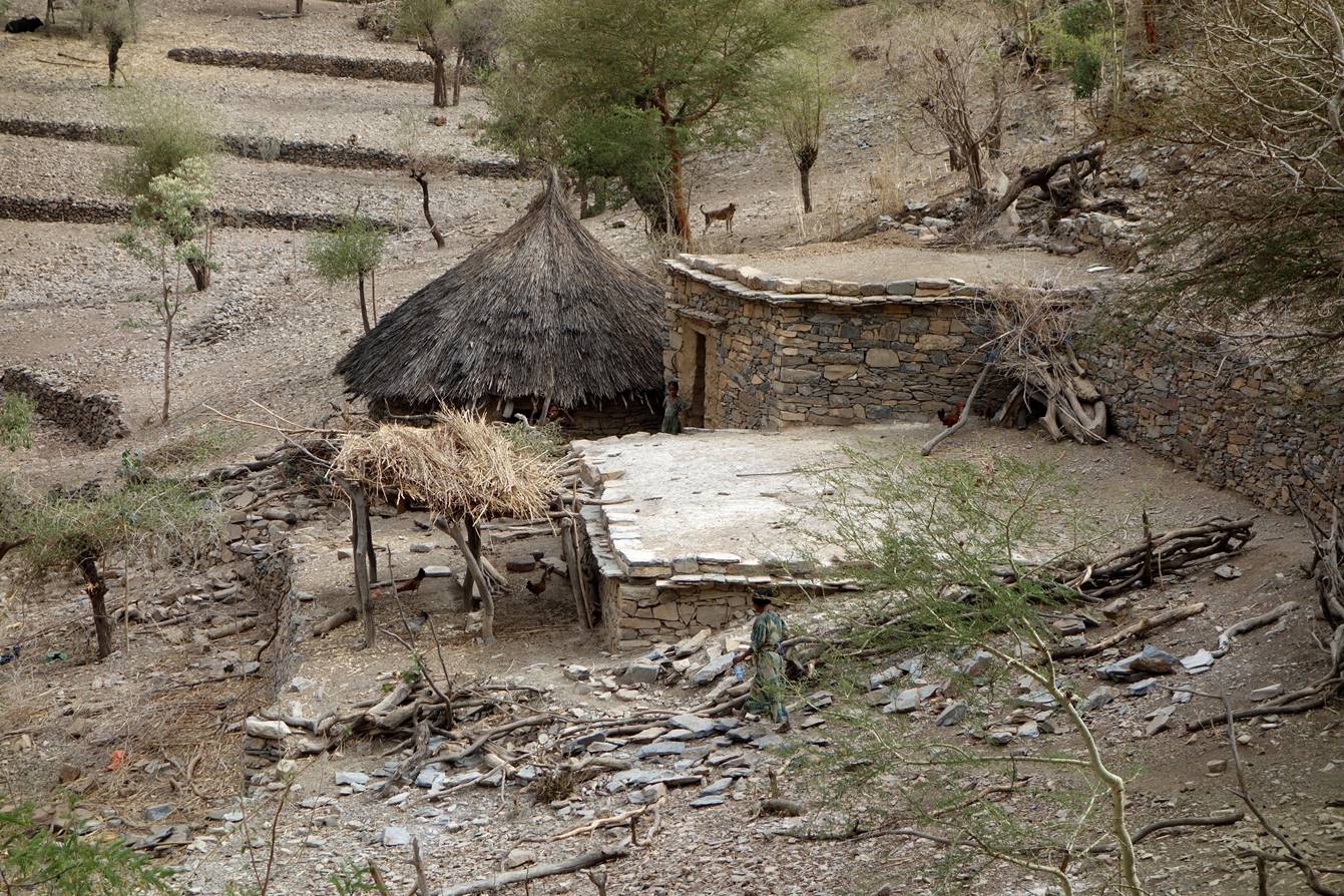
Soon after passing
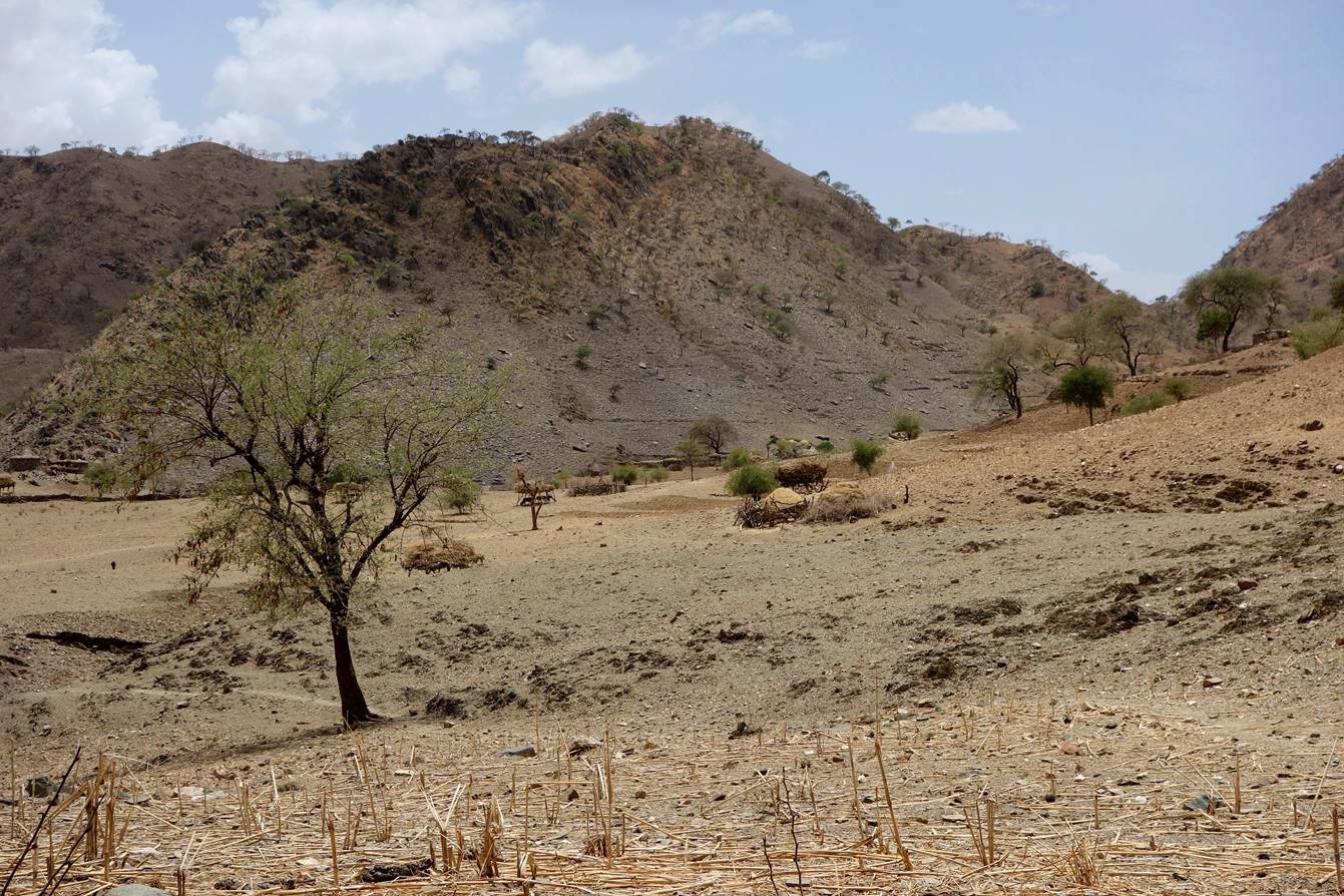
this farm we reached a small village named Tabia Selam. There a policeman (the only one in the area)
confiscated both my passport and the IDs of Gebru
and Gebrehiwet. It soon became obvious that he wanted money from me in order to
return them to us. I refused and many hours later, in the evening, he finally
gave us back our IDs without any counterpart. It was too late to resume hiking
and we set our 6th camp in the village (waypoint 17).
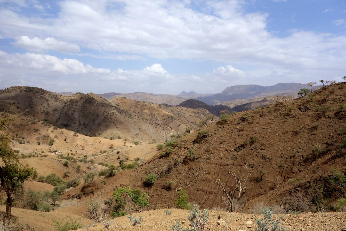
The trail after Tabia Selam crossed hilly terrain
with many ups and downs.
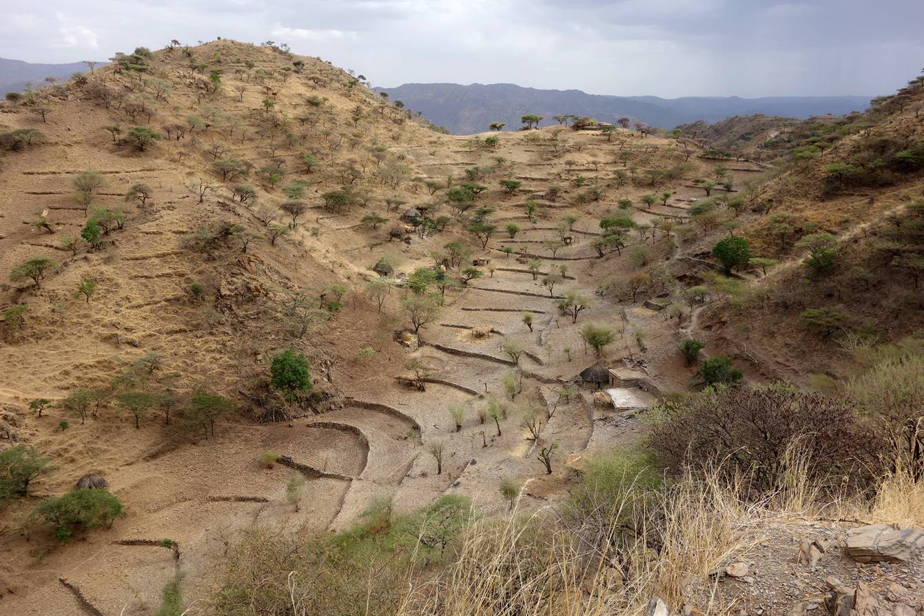
Farm on a hill.
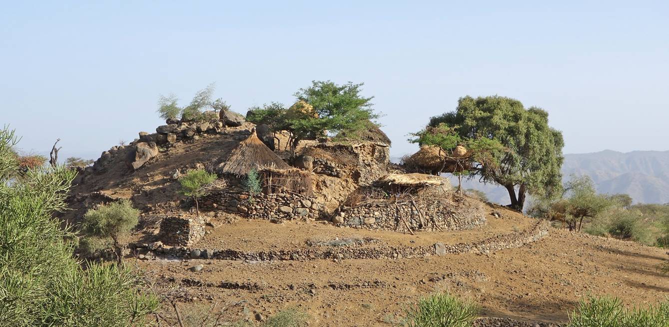
Farms amidst
extremely steep terraces (?).

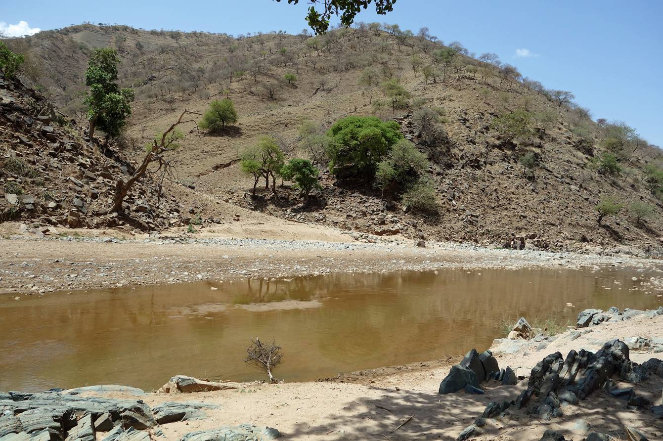
We then reached a
river where we all (Gebru, Gebrehiwet, our two porters of the day, and
me) bathed and washed (waypoint 22).
On the other side of
the river we climbed steep terrain, mostly through dry, narrow gullies. We only
found this small source where Gebrehiwet filled
several bottles.

Landscape, terraces,
and farm further up.
After crossing a pass
we reached the nondescript (but very friendly) village of Gwala
Goulo at the bottom of a small valley. We put our 7th
camp near the school (waypoint 26).

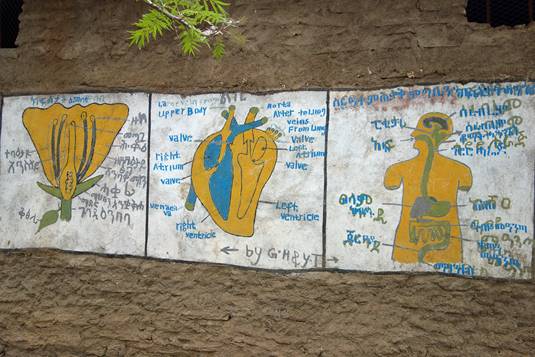
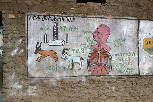
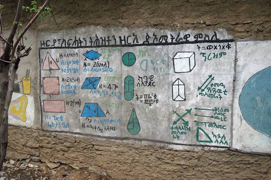
Paintings on the
walls of the school buildings.
|
|
|
|
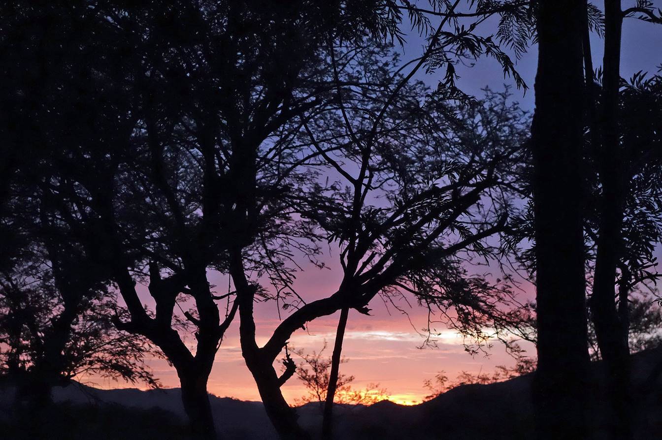
On the next morning
we had a gorgeous sunrise, here seen from my tent.
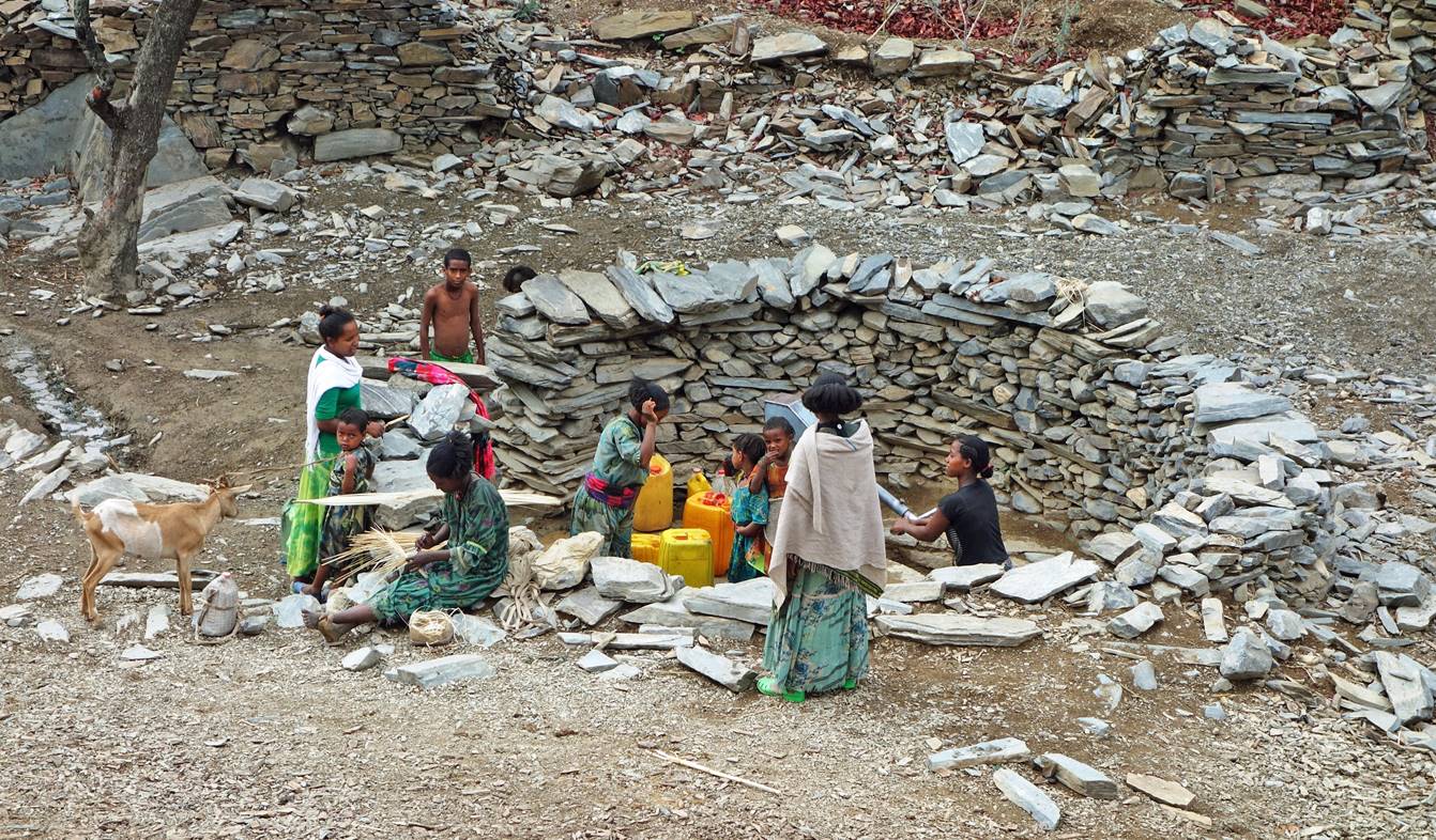
Soon after leaving Gwala Goulo we passed by a well
equipped with a pump, the village′s main source of clean water. Women
were active pumping water into their ubiquitous yellow jerricans.
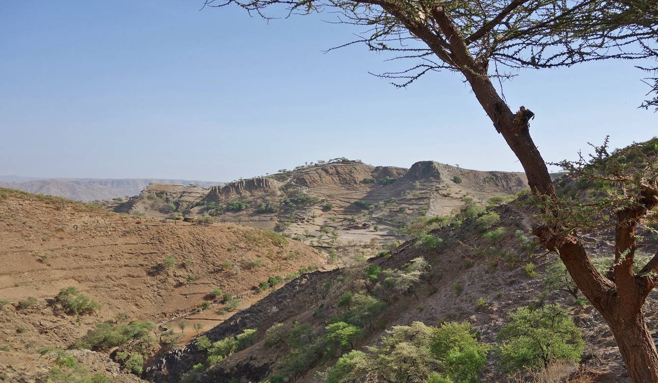
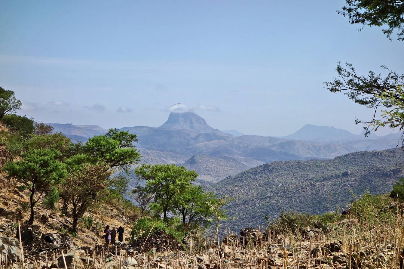
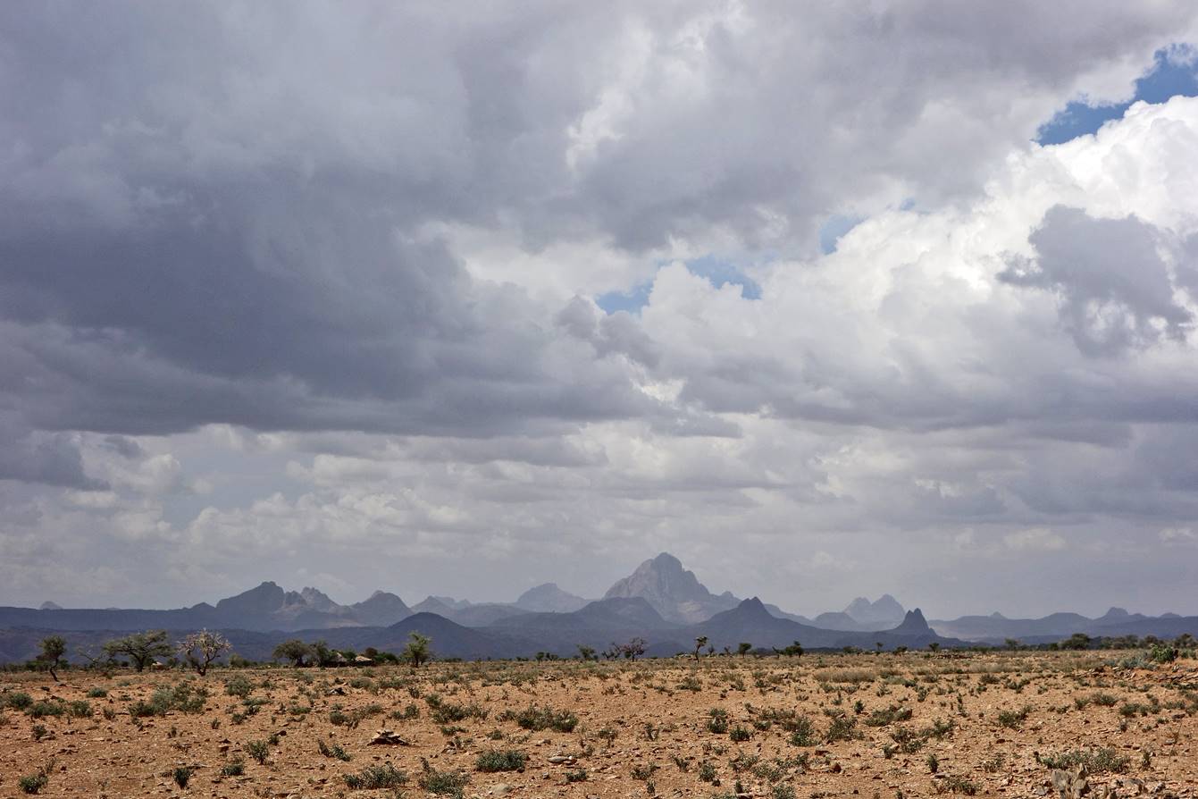
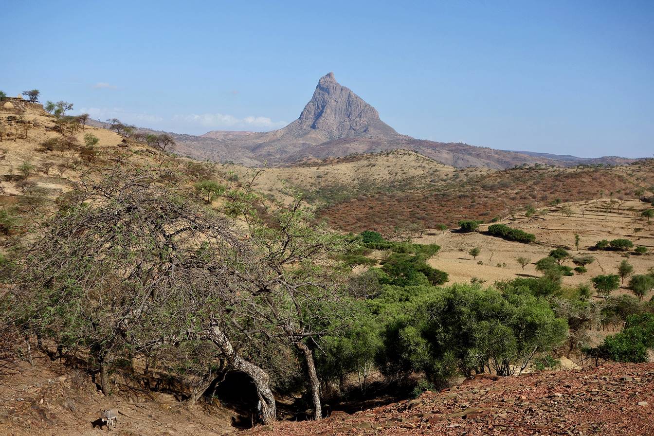
We ascended another flank
of the Gwala Goulo′s
valley and reached a pass facing north, offering a beautiful view toward Damo Gellila (the big rock formation at the center of the
picture). The location of Damo Gellila is marked with
an orange pin in the map at the top of this page.
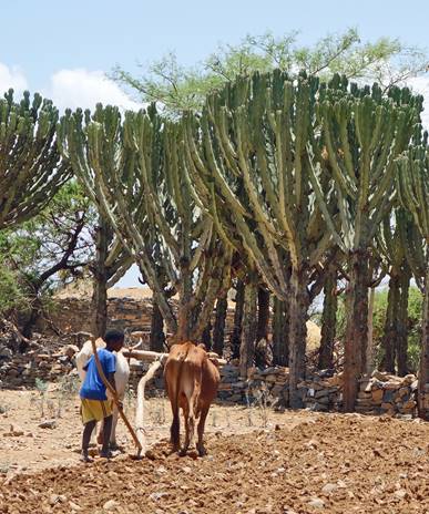
Later we reached a
plateau. We passed by a number of farms where people (often young kids) were
active plowing fields.
|
|
|

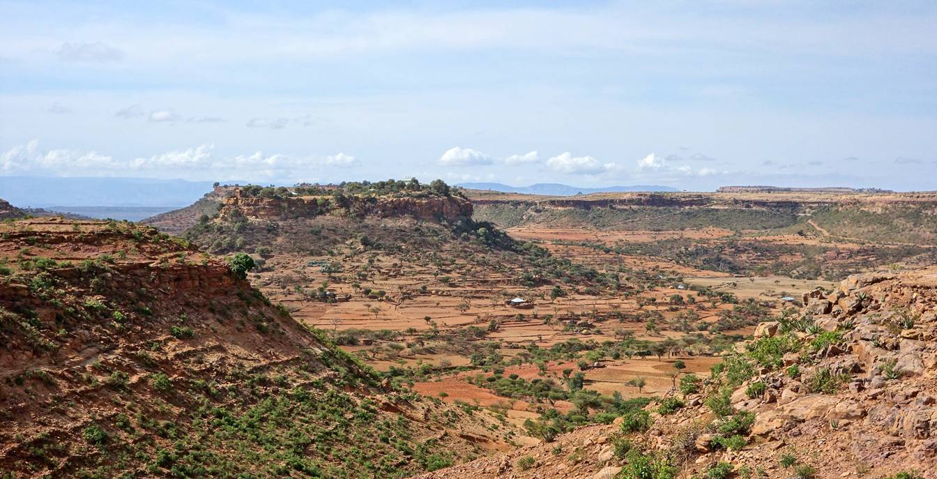
Another view of Damo Gellila in the background.

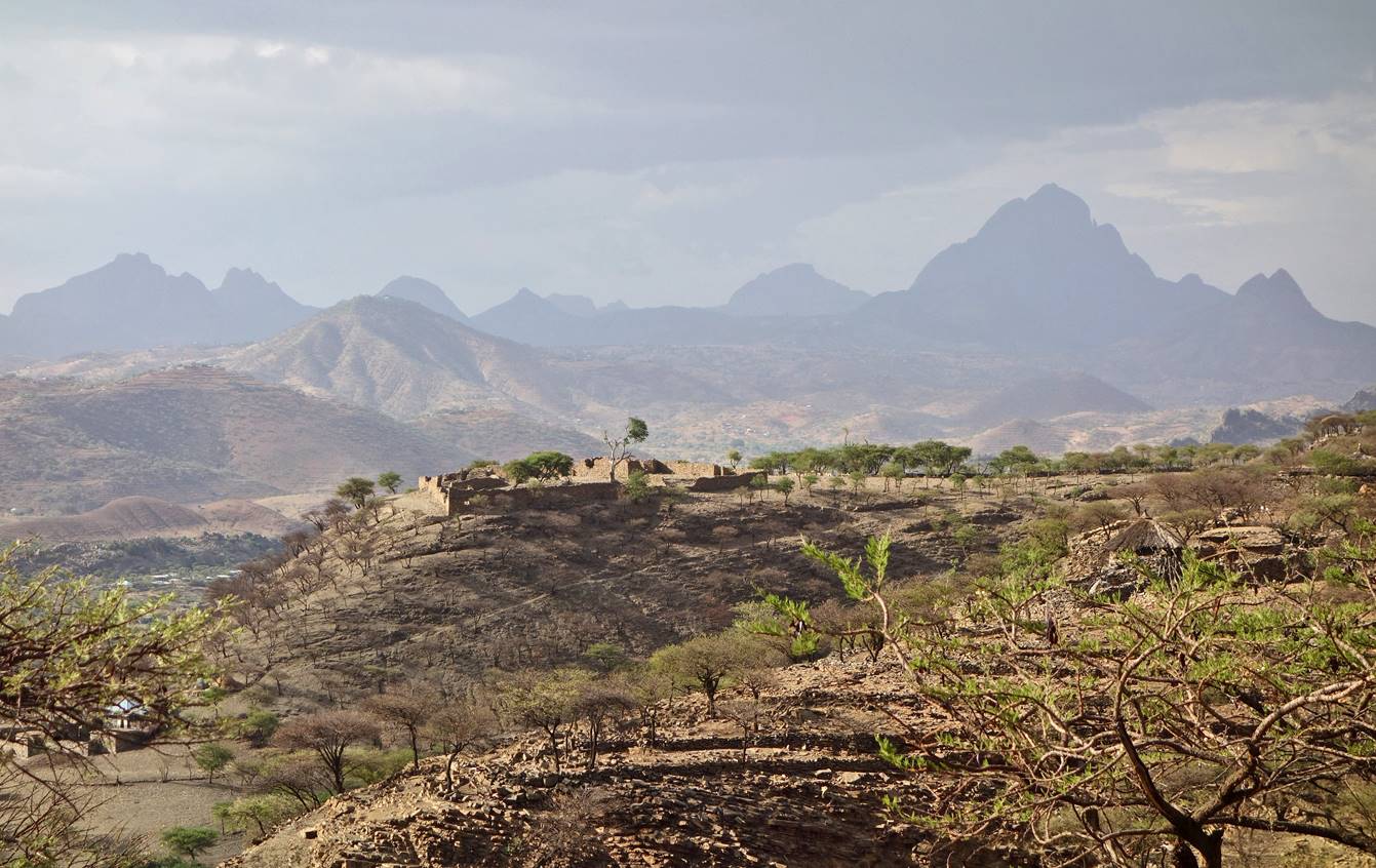
Looking north to the
southern portion of the so-called Adwa Mountains. These ″mountains″
are a collection of differently shaped rock formations created by erosion. They
spread over a relatively large area east of the town of Adwa.
Another view toward
the Adwa Mountains, as we were approaching the village of Edarga
Amous (in an area called Kurkura).
I was told that the large construction in the middle of the photo was the
remains of a house owned by a governor in Emperor Haile Selassie′s time.
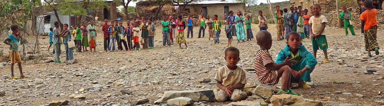
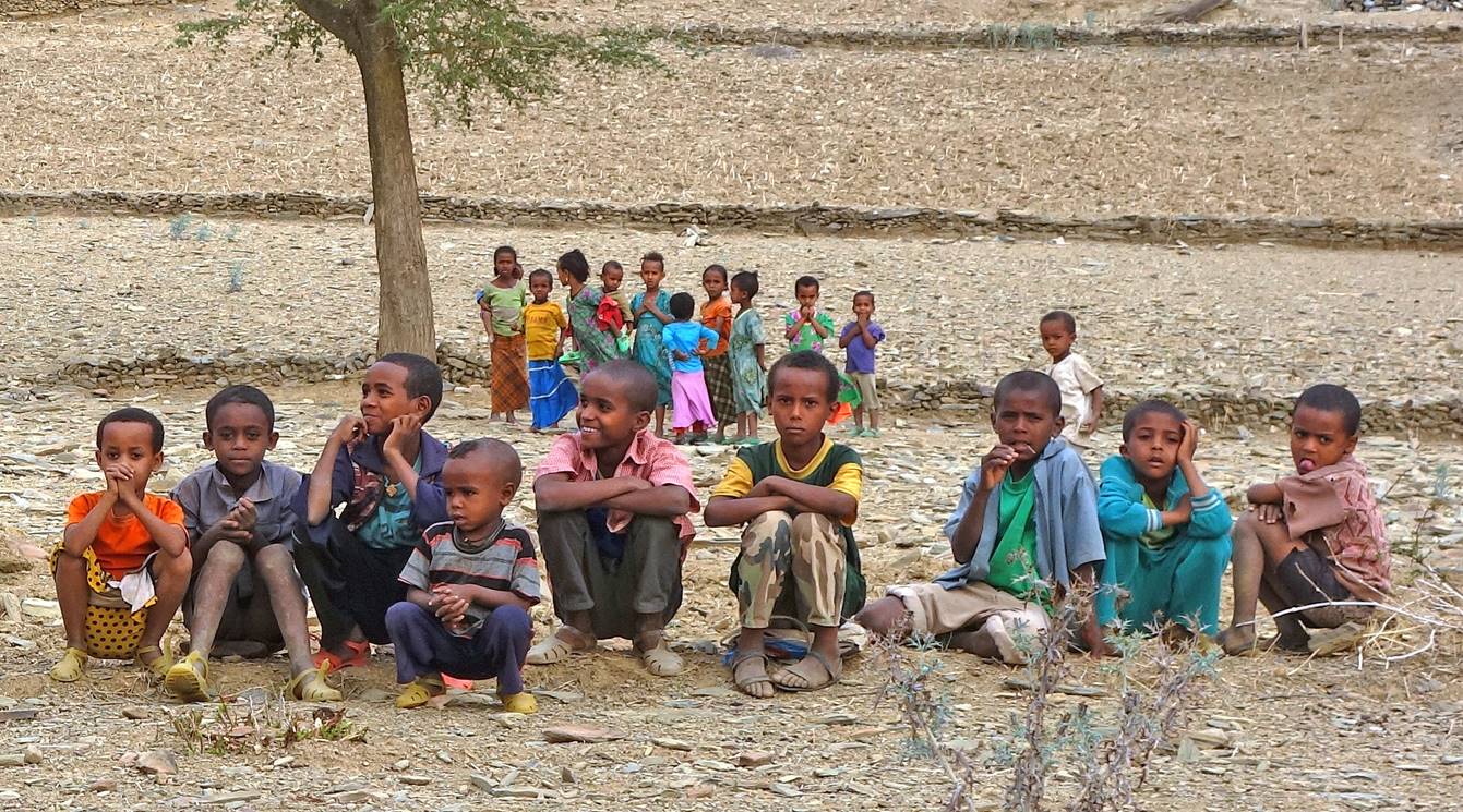
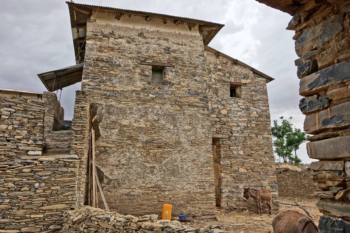
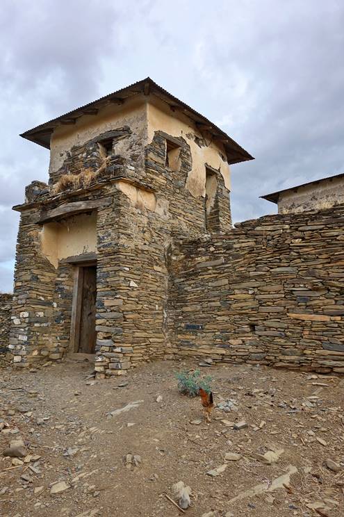
Kids in the village
of Edarga Amous. Although
the village was not very large, there were many young kids.
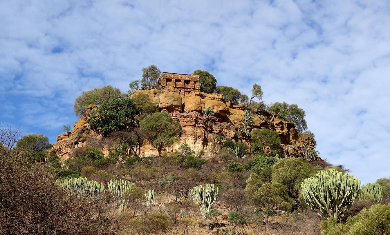
Unusually large house
in Edarga Amous. I heard
that it had been built by an Italian during the Italian occupation of this
region (1936-41). We set up our 8th camp in this village (waypoint
39).
|
|
|
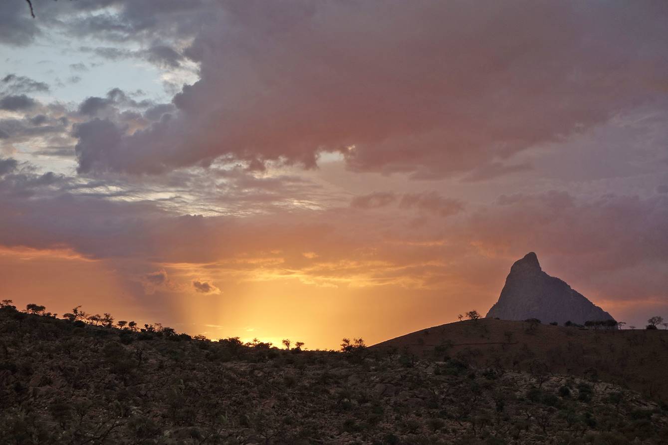
Sunset seen from our
camp in Edarga Amous with
Damo Gellila on the right.

On the next morning
we left accompanied by a family from Edarga Amous.


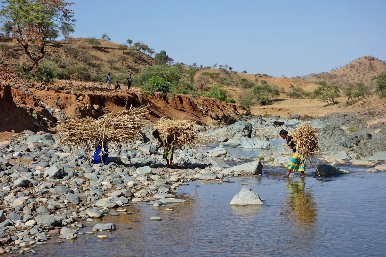
We stopped by this
relatively clean river where we washed ourselves and a few clothes (waypoint
40).
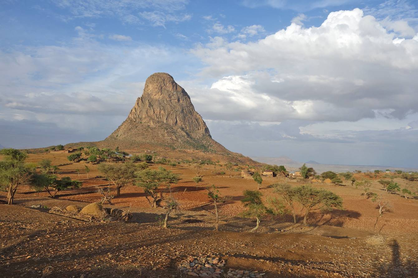
As we were getting
closer to Damo Gellila, the rock formation looked
increasingly impressive.

A woman and her
donkey.

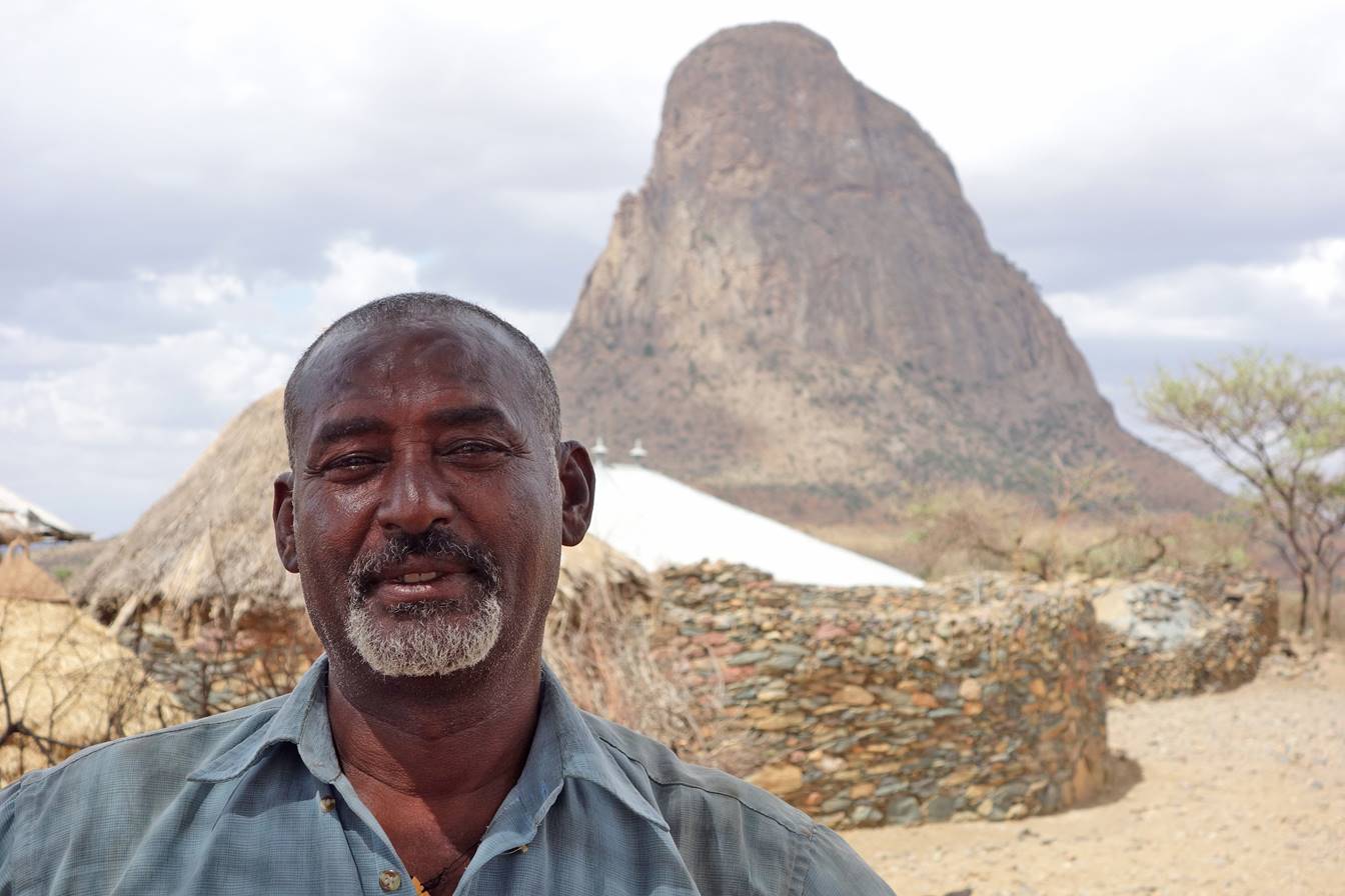
We put our 9th
camp under this tree (waypoint 44) near Damo Gellila.

Gebru at the camp with
Damo Gellila in the background.
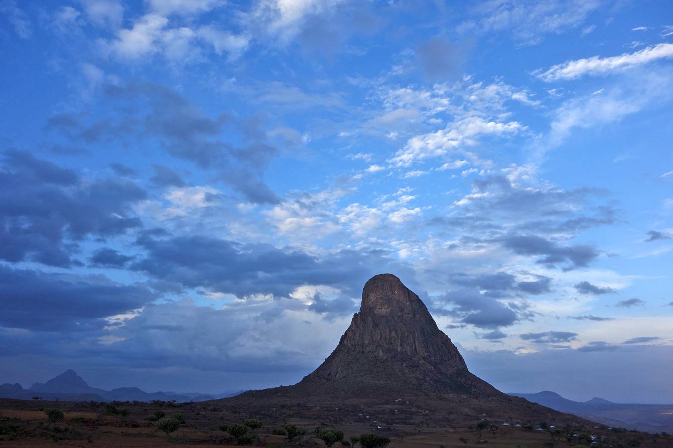
Damo Gellila seen from the camp at two different times in the
evening.
Leaving our camp
toward Axum.
Along the way we
passed by several ambas (flat-top mountains).
The impressive sight
of high-schoolers leaving ONE school as we reached
Axum. There are several such high-schools in Axum, each with its distinct
uniform: blue, brown, green.... (Ethiopia′s fertility rate was still 4.64
in 2012, compared to 4.78 in Eritrea, 3.26 in Bolivia, 2.71 in Morocco, 2.21 in
Bangladesh, and 1.88 in the United States.)

For more photos in
Axum see Section 4 below.
Sections of the
trip (click on the
links below to access the corresponding webpages):
-
2.
Maryam Hibeti to Abba Yohanni
and Gabriel Wukien
-
3. Gabriel Wukien
to Axum via Damo Gellila
-
6. Abuna Gebre
Mikael and Debre Tsion Abuna Abraham
-
7.
Hawzen to Medhane Alem Adi Kasho via Abreha we Atsbeha
|
|