France (May 2017): Hikes on the southwestern slope of
Mt. Ventoux and on the Crete de Saint-Amand
![]()
Hike on the southwestern slope of Mt. Ventoux: Combe Obscure and Combe de Malaval.
Map: The hike (in dotted red line) starts at
the yellow dot north of Bedouin, in a parking next to the Domaine of Belezy, follows a path toward the west to the entrance of
the Combe Obscure, follows the combe
up to the ridge of the western shoulder of Mt. Ventoux,
crosses the ridge, follows a series of paths on the upper northern side of the
massif toward the east, crosses the ridge back to the south, and descends into
the Combe de Malaval to
return to the starting point.
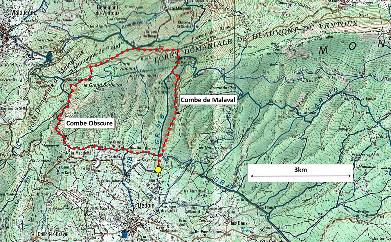
[From the map ″Massif du Ventoux″
1:50,000, Editions Didier Richard, 9 Grand Rue, 38000
Grenoble, France.]
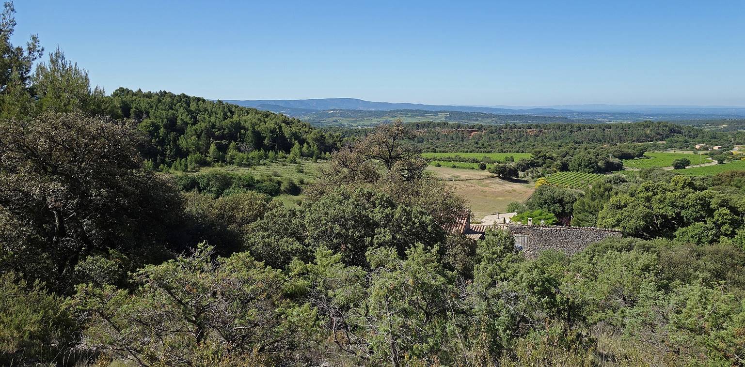
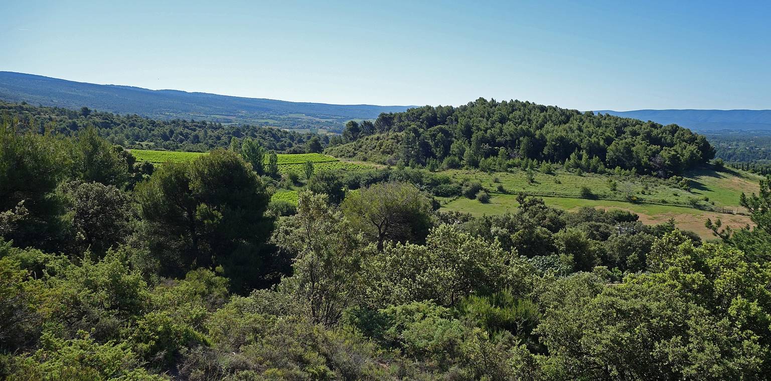
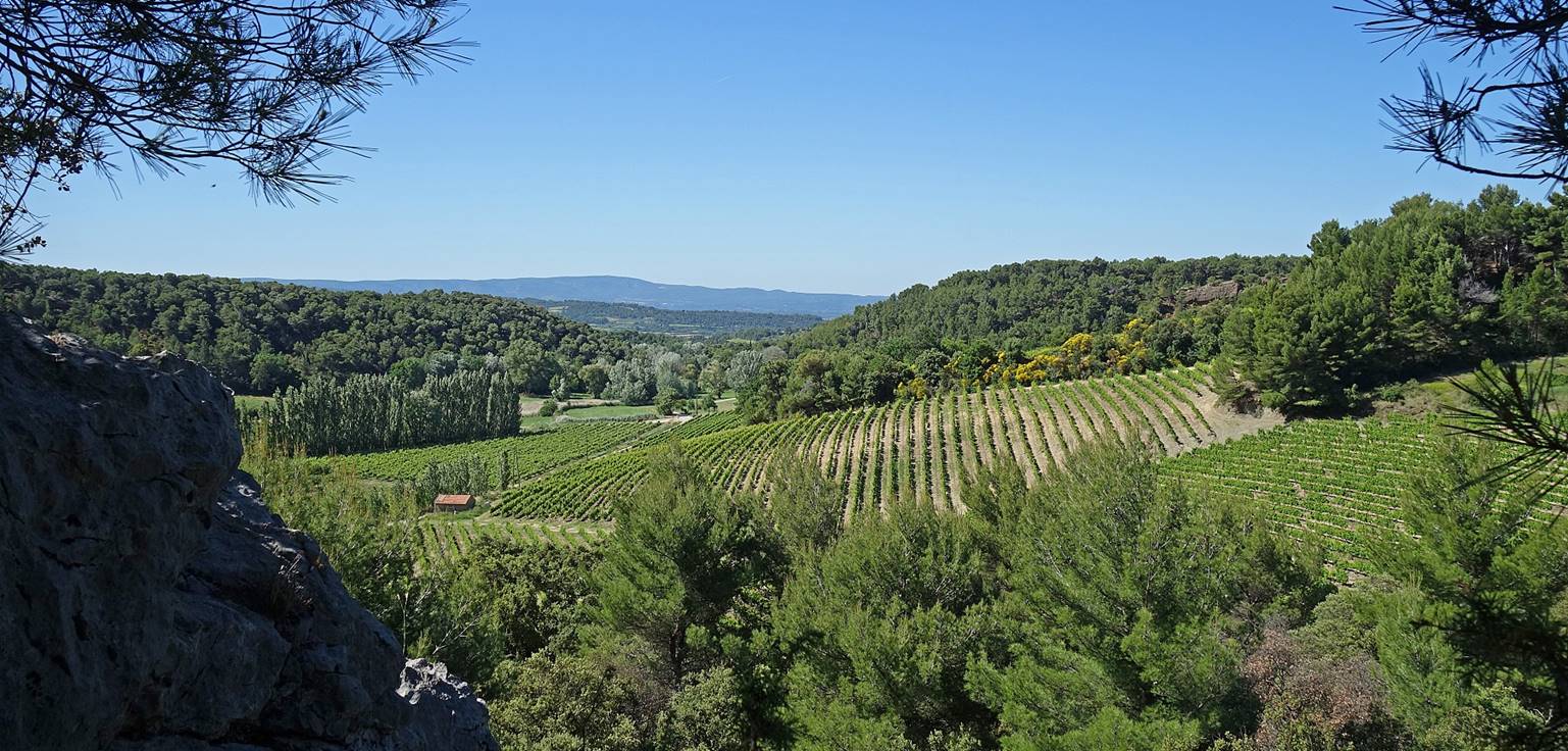
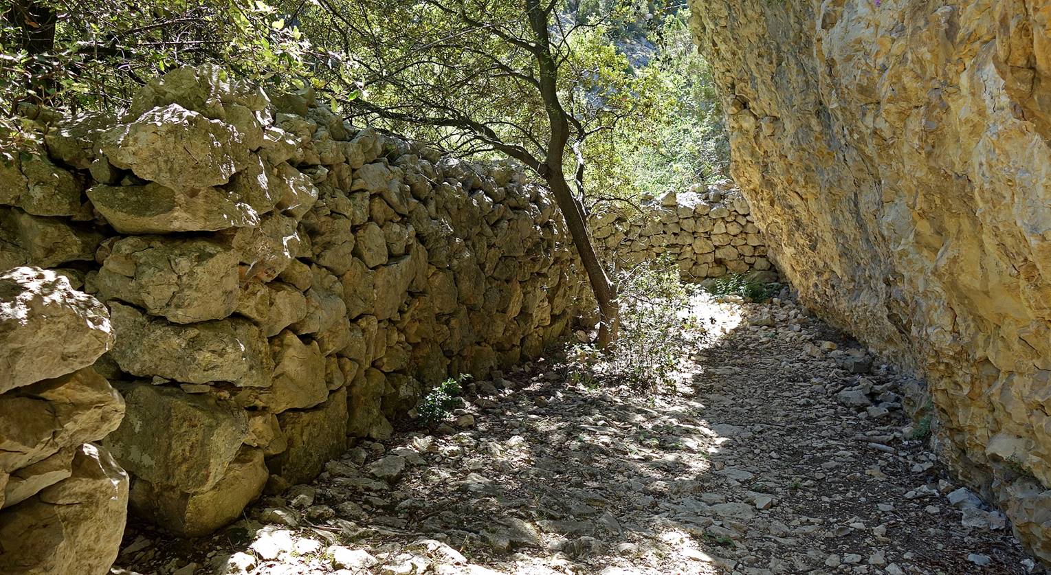
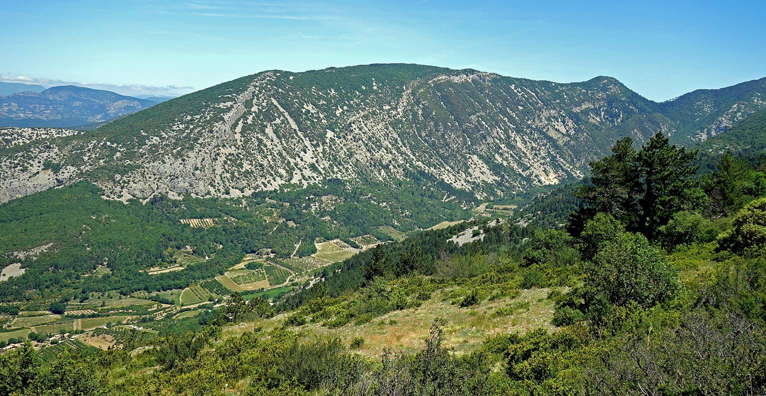
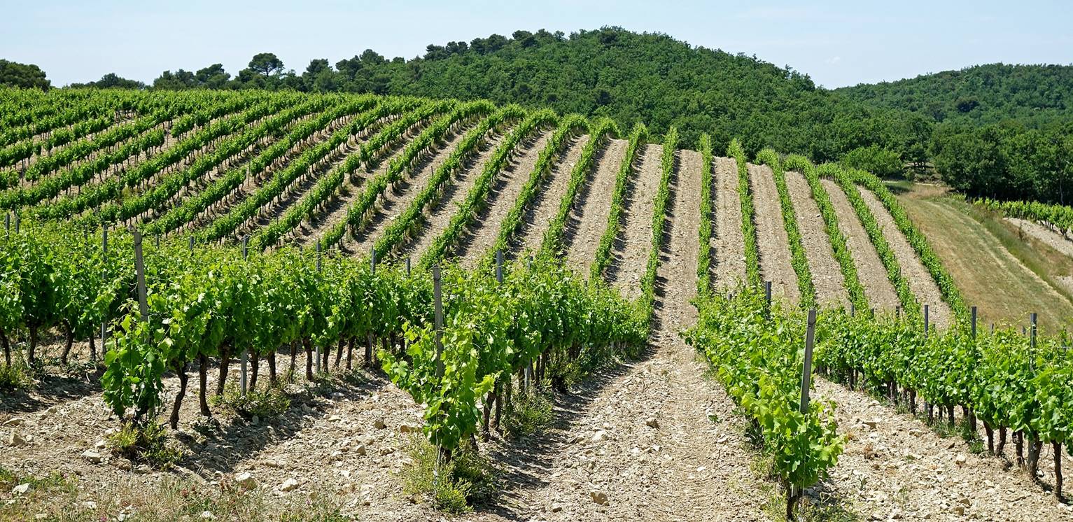
The path toward the Combe
Obscure is a rocky trail with many small ups and downs.
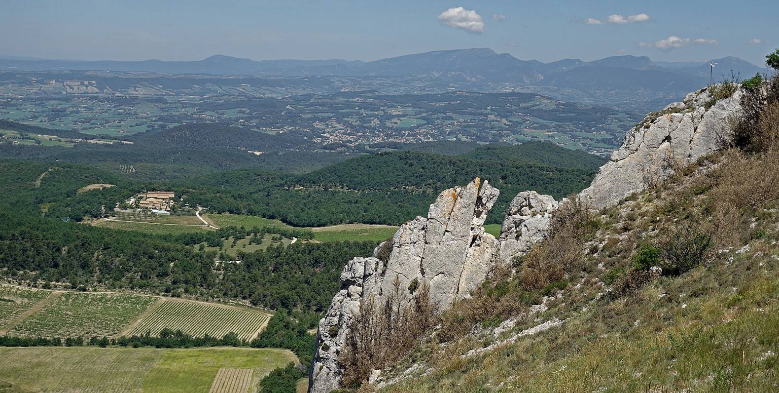
The path overlooks vineyards and, in the
background, the plain of the Comtat Venaissin.
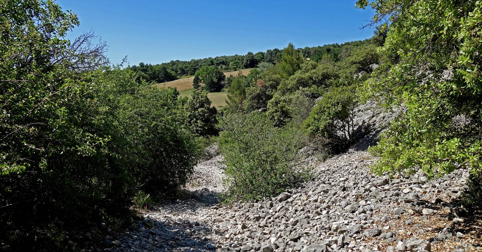
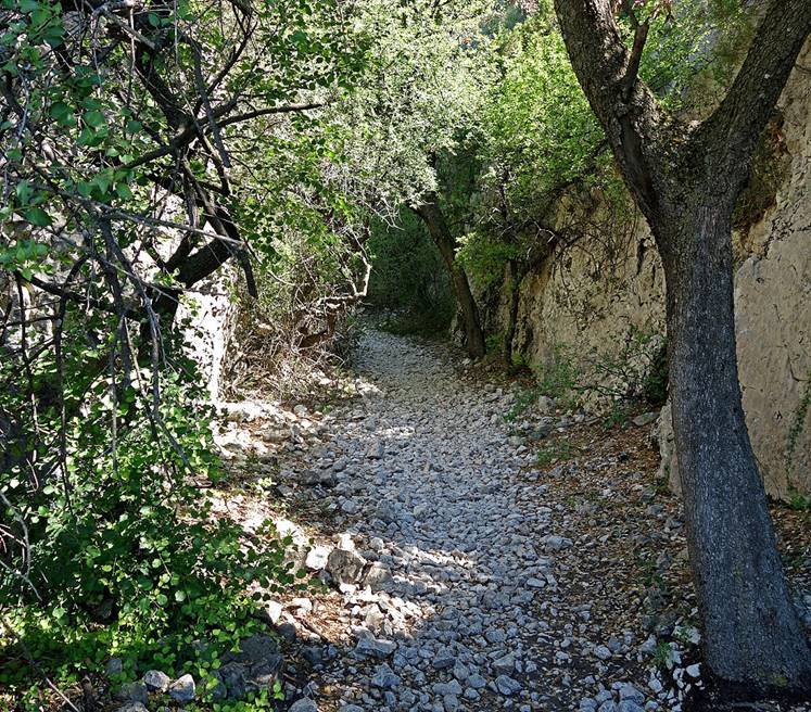
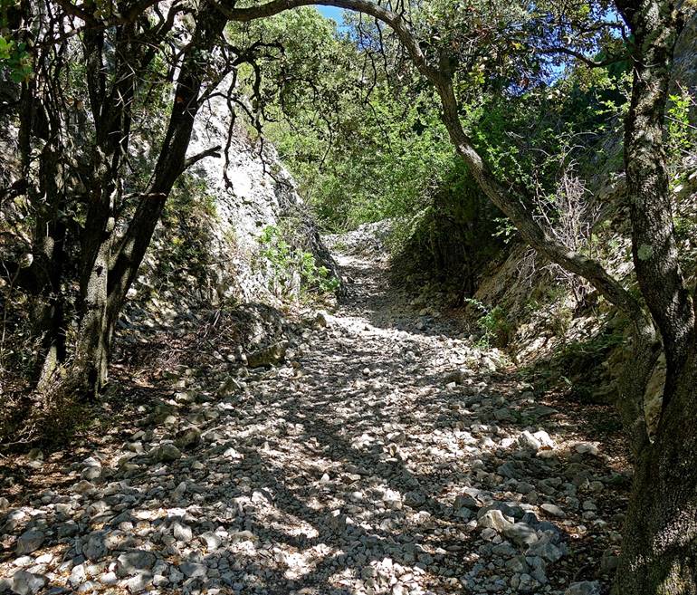
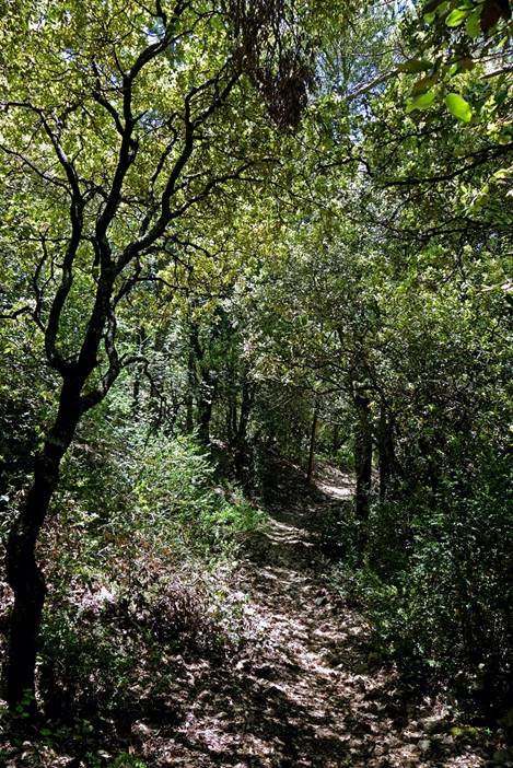
Entry into the Combe
Obscure. ″Obscure″ means ″dark″ and, indeed, most of it
lies in a comfortable shade.
|
|
|
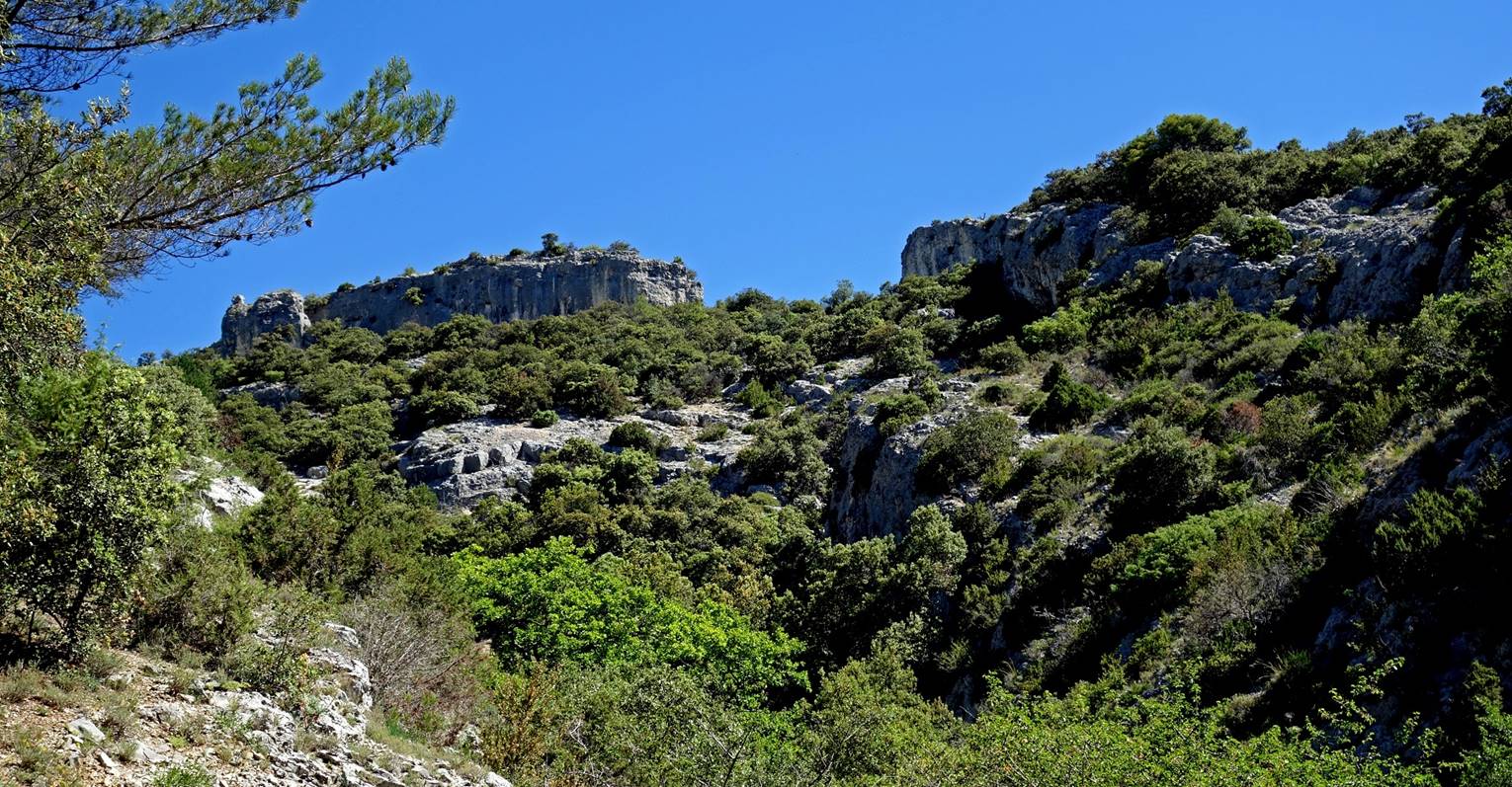
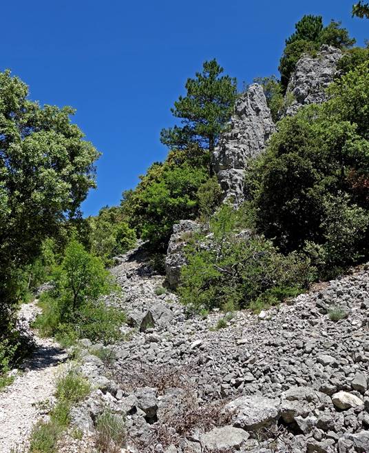
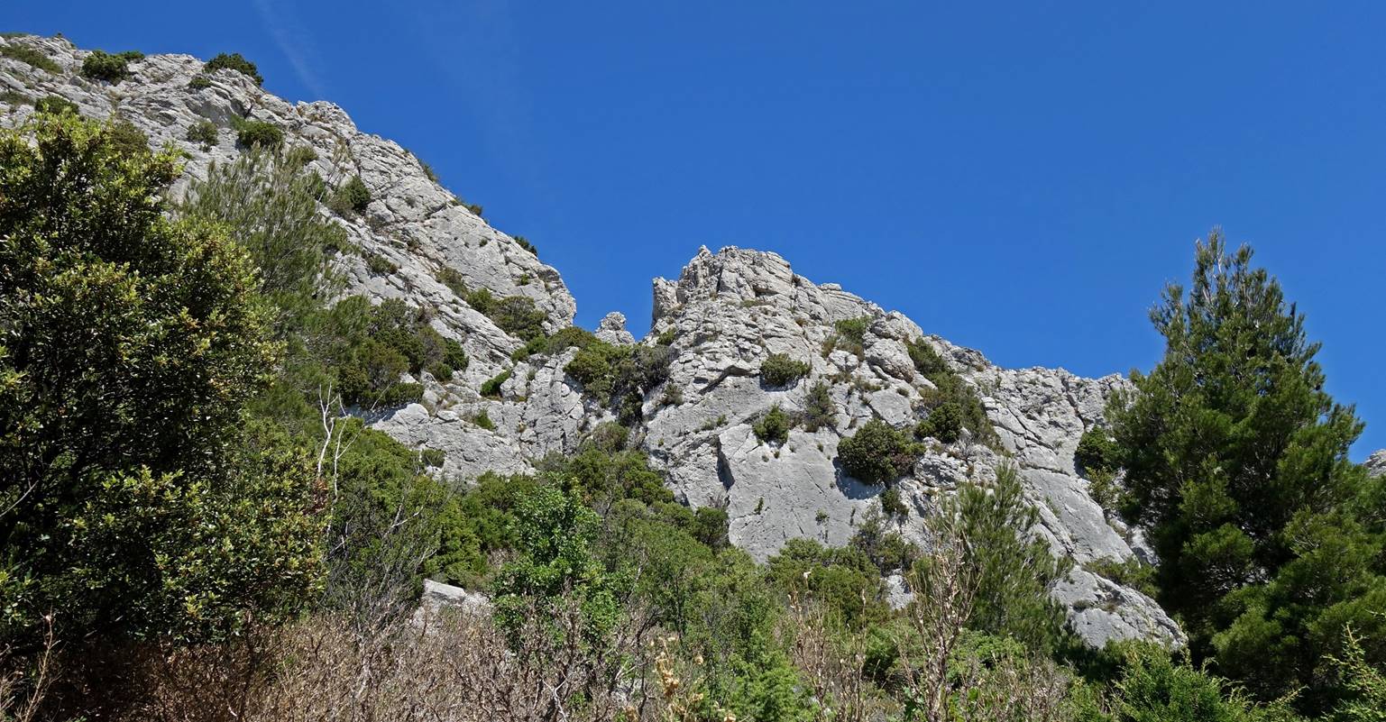
Rock formations above
the combe.
Sheepfold. Mt. Ventoux
used to be a major sheep farming area.
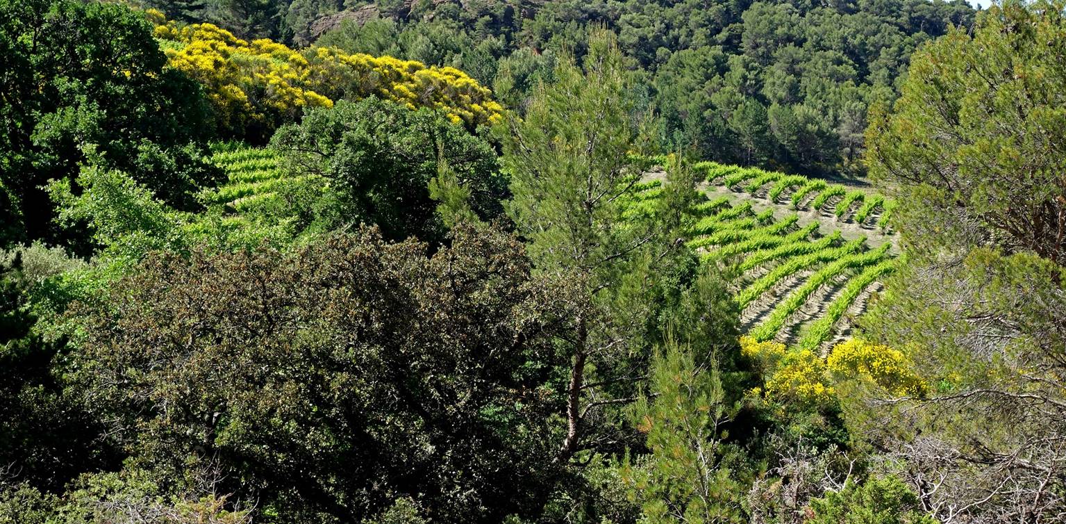
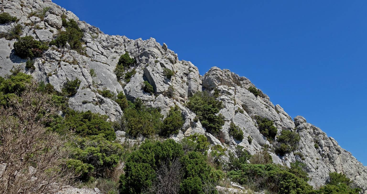
Further up the path passes
by clean limestone crags equipped with bolts. Not surprisingly (it was a
Saturday), there were a few local climbers (see photo on the right below).
|
|
|


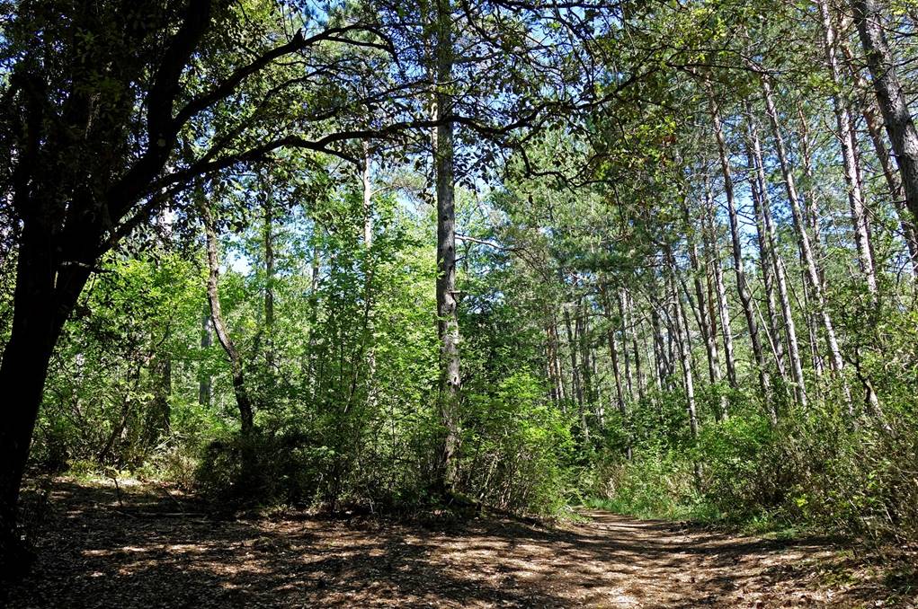
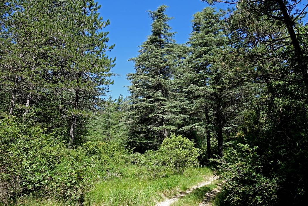
The Combe Obscure
finally opens up (left) and soon after the path enters a forest of pine trees
(right)...
|
|
|
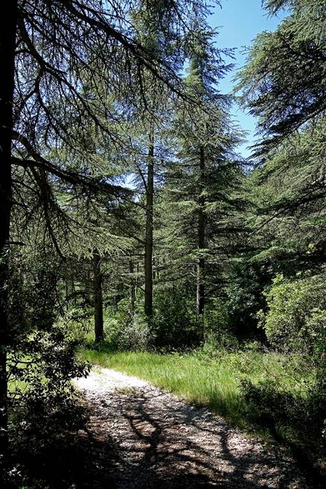
... and then a forest
of cedar trees.
|
|
|
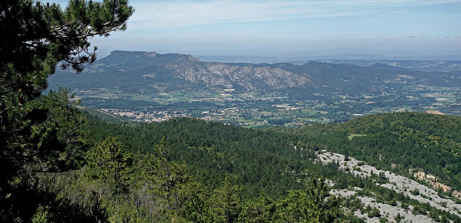
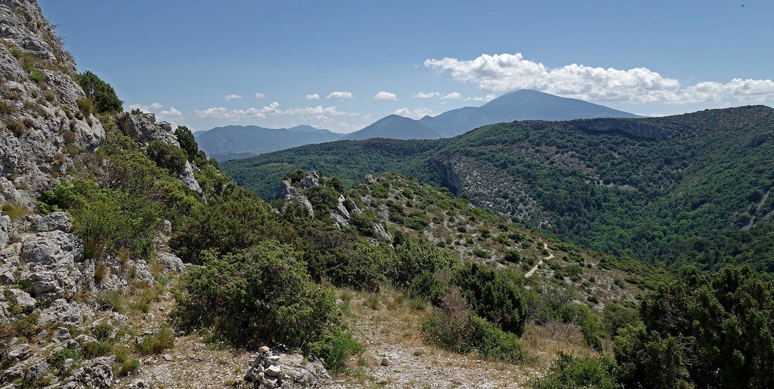
View toward the west
after crossing the ridge. The town of Malaucene is visible in the valley on the
left of the photo. The Crete de Saint-Amand stands in the background behind
Malaucene.
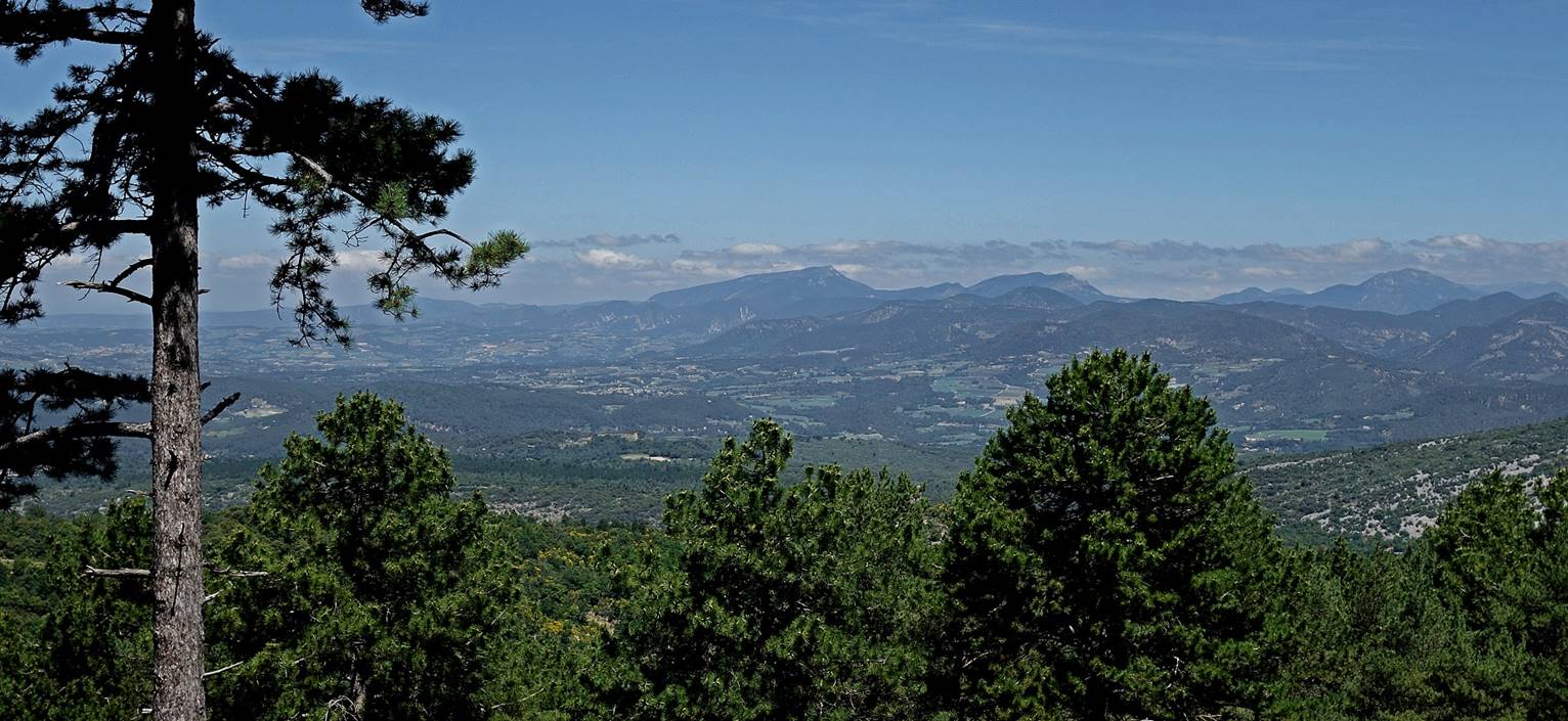
View toward the north
(Dauphine).
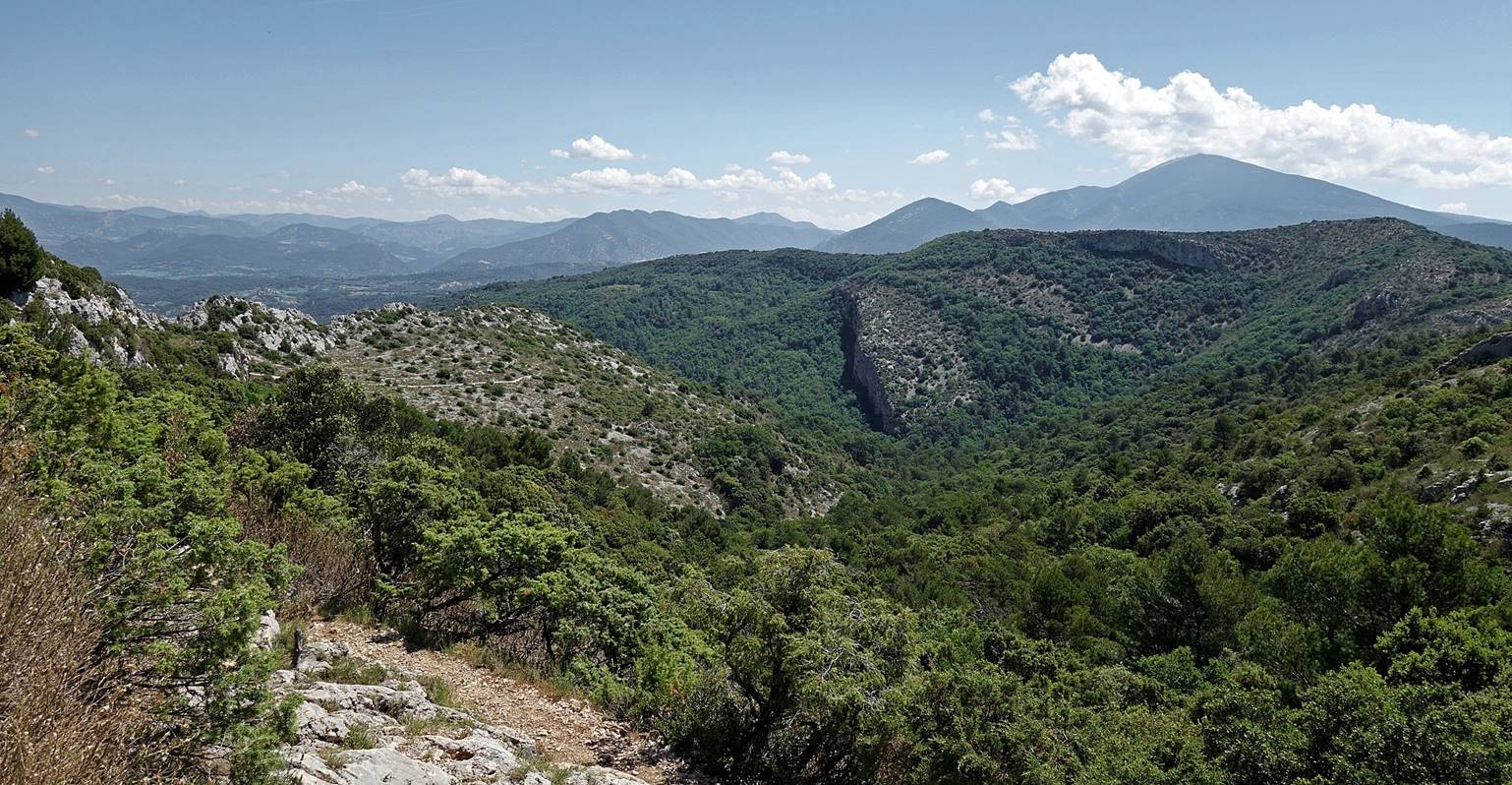
View toward the
northeast. The massif in the background behind the small valley is the Sommet
de la Plate and the pass on its right is the Col du Comte.
Crossing the ridge back
to the southern slope of the mountain.
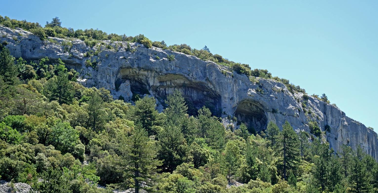
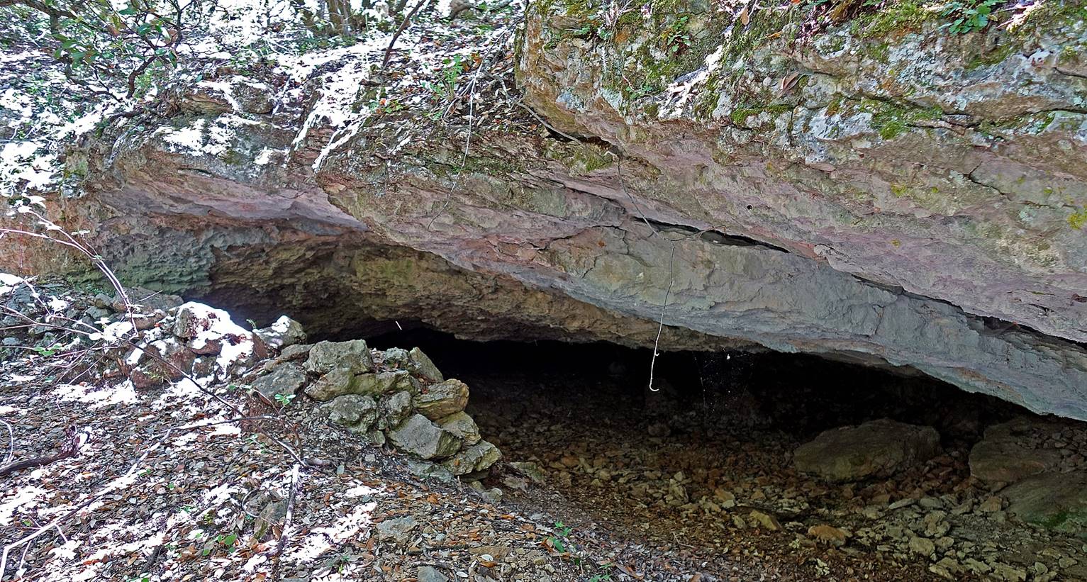
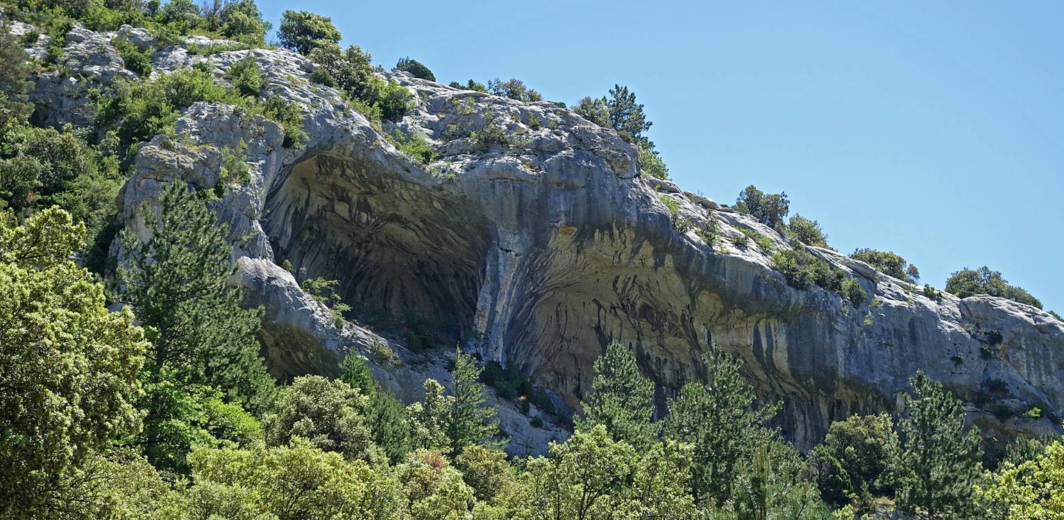
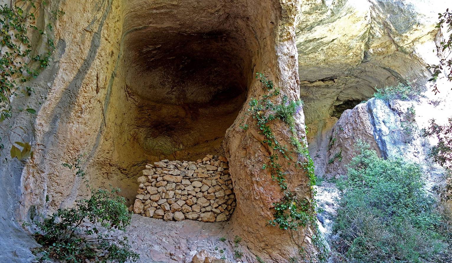
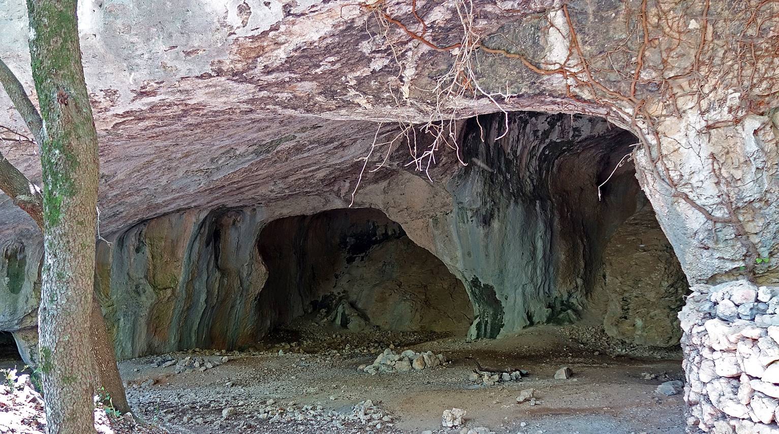
Large caverns in a limestone
cliff at the start of the descent into the Combe Malaval.
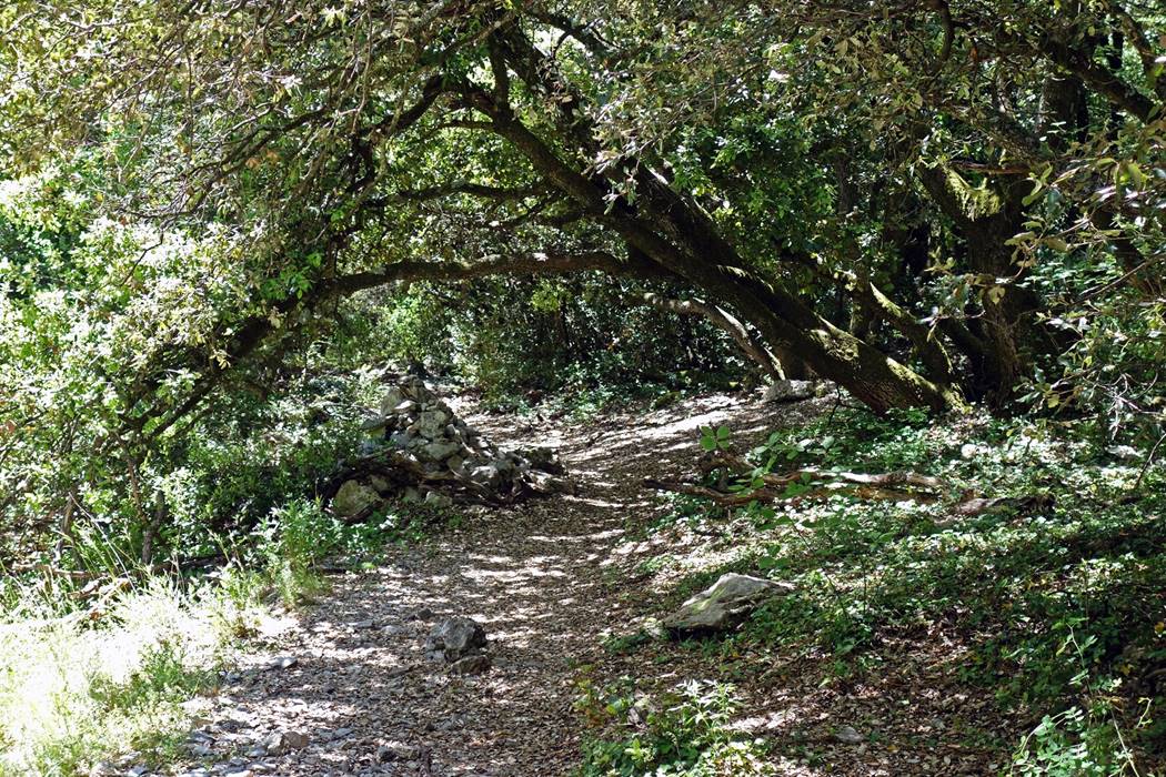
The initial part of the
descent in the Combe Malaval is gentle and in the shade of small trees.
|
|
|
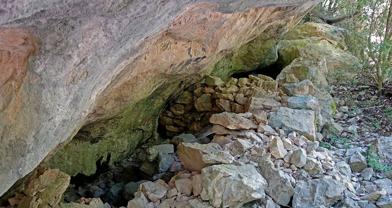
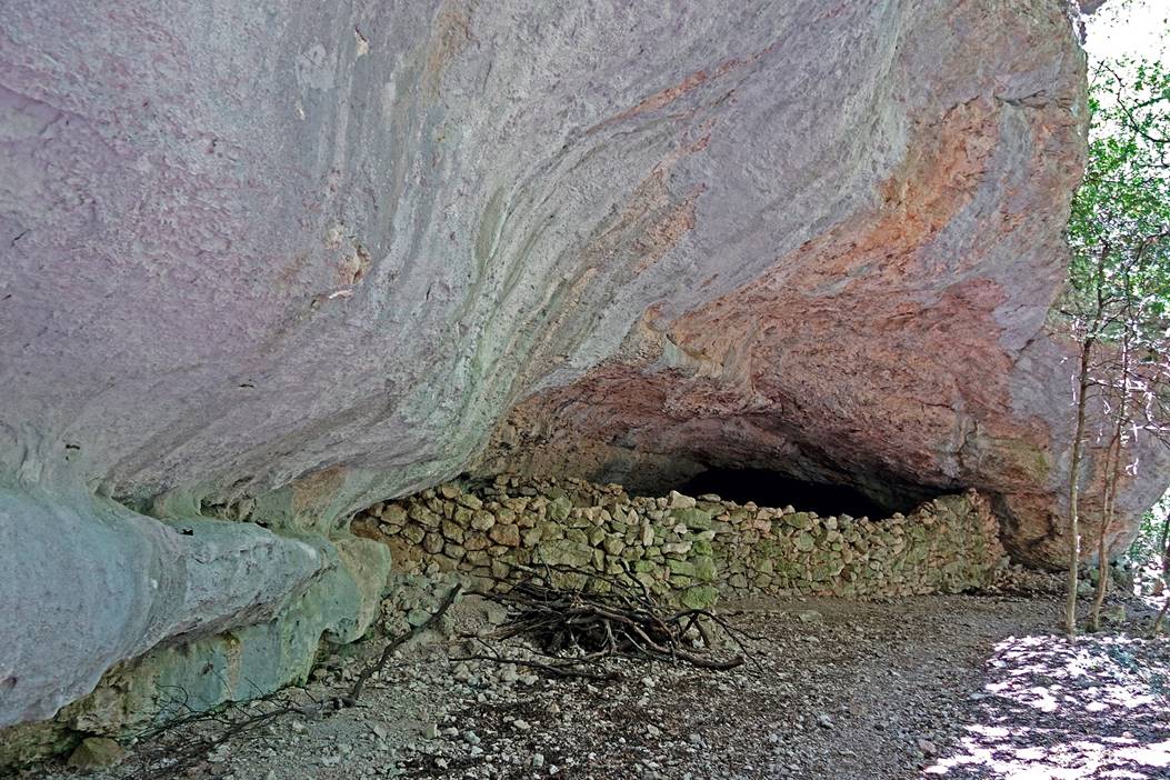
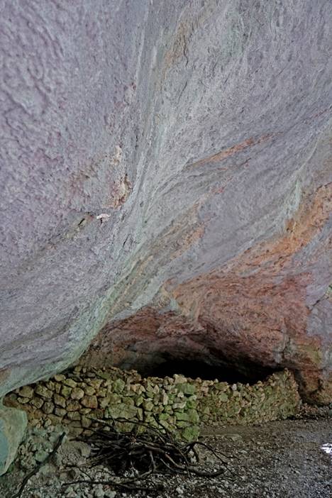
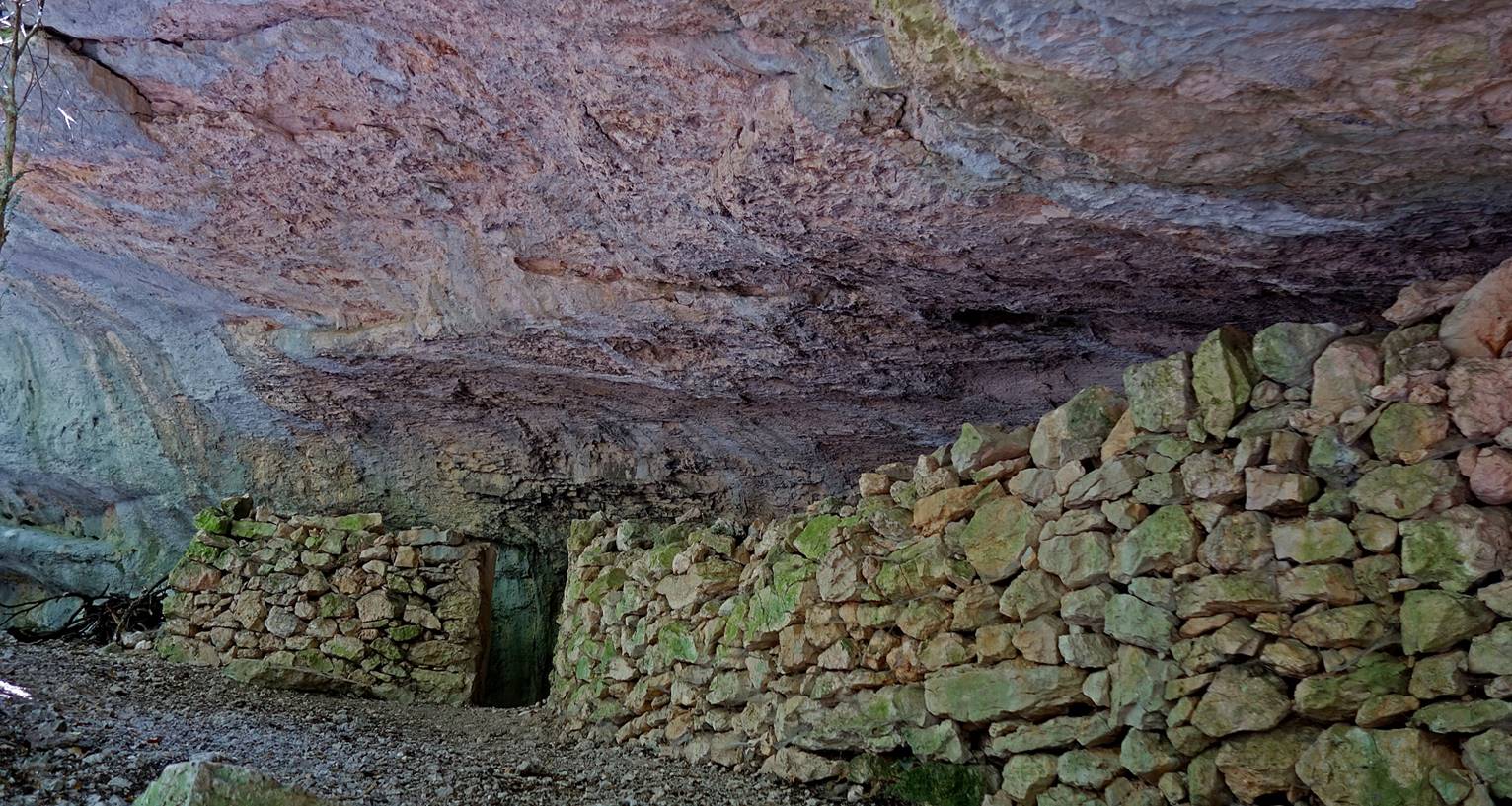
Sheepfold sheltered in
a cave.
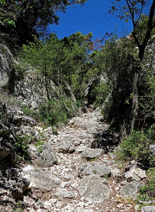
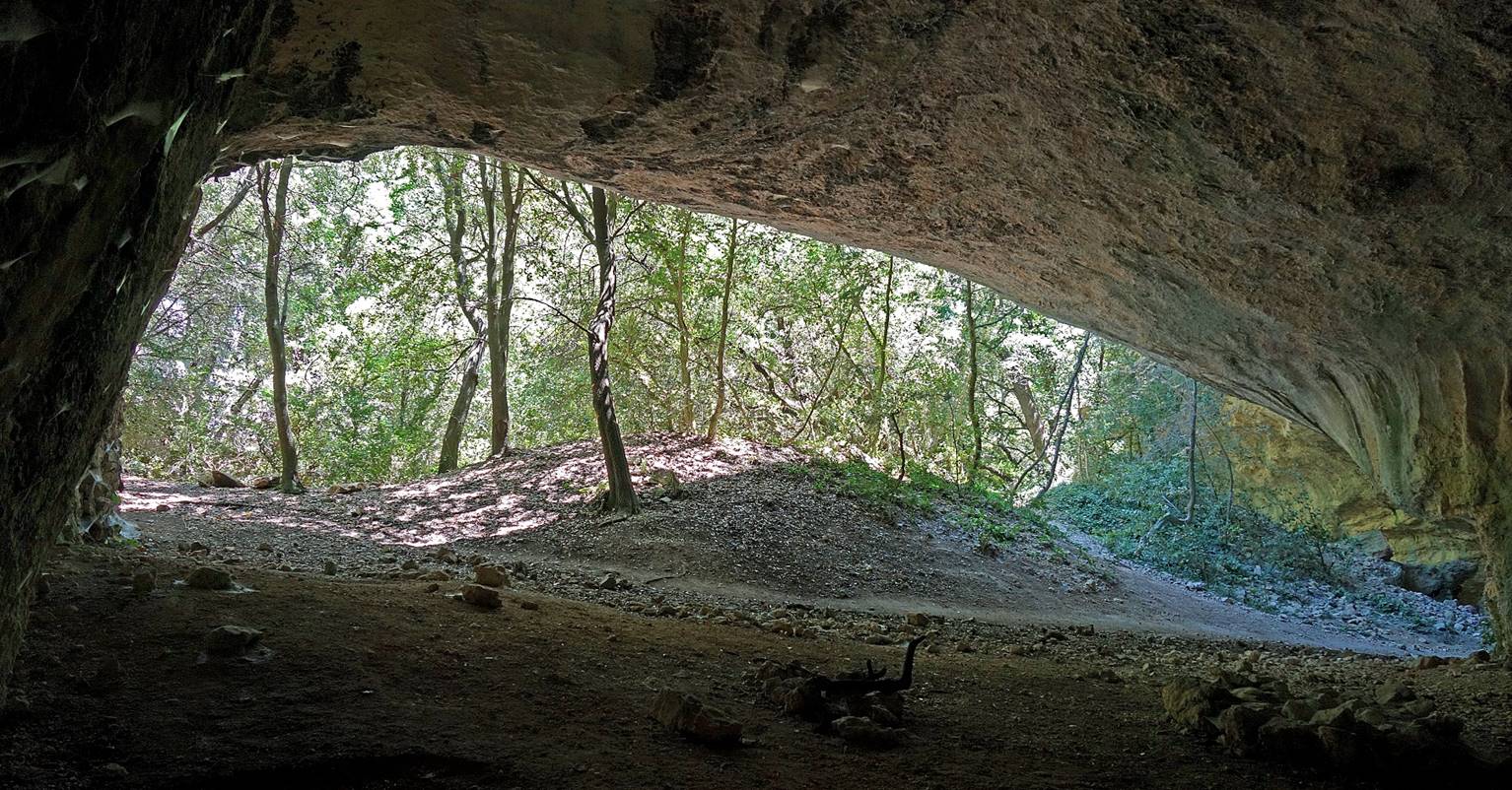
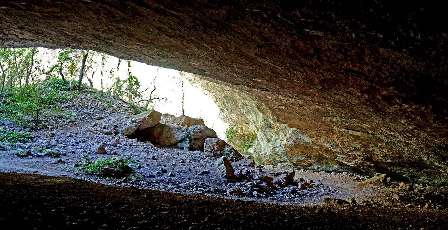
Soon the trail becomes
rocky again...
|
|
|
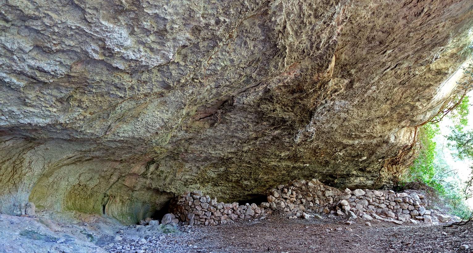
...with more large carverns
in the uper parts of the cliffs on both sides of the trail.

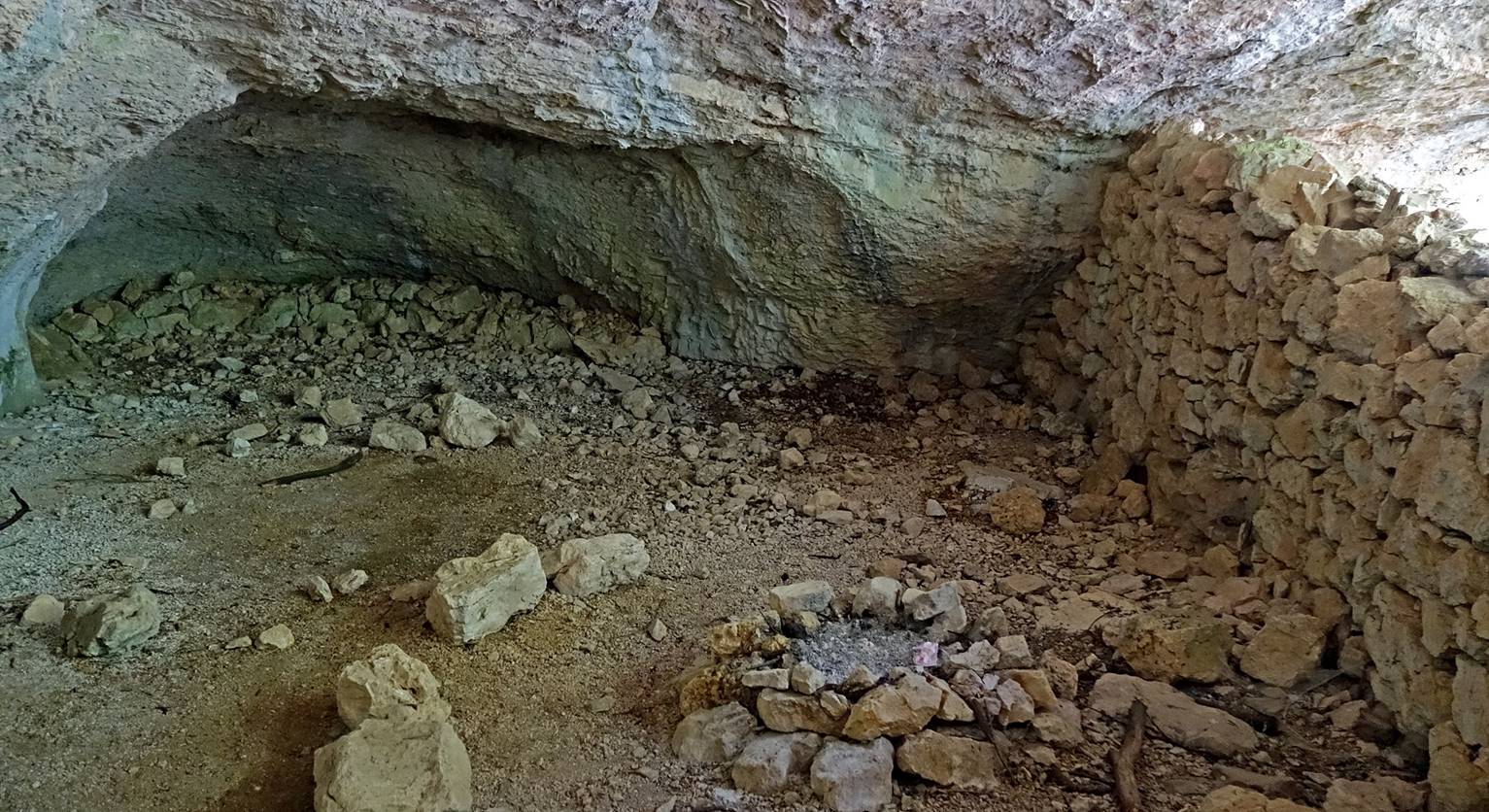
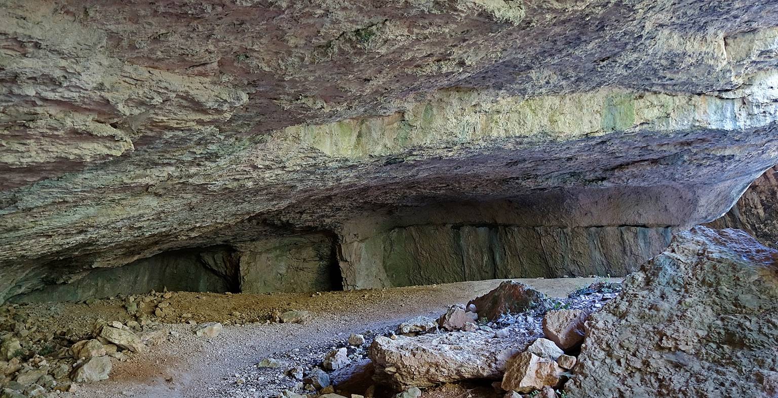
These caverns are followed
by a series of impressive sheepfolds in caves at the bottom of the combe.
|
|
|
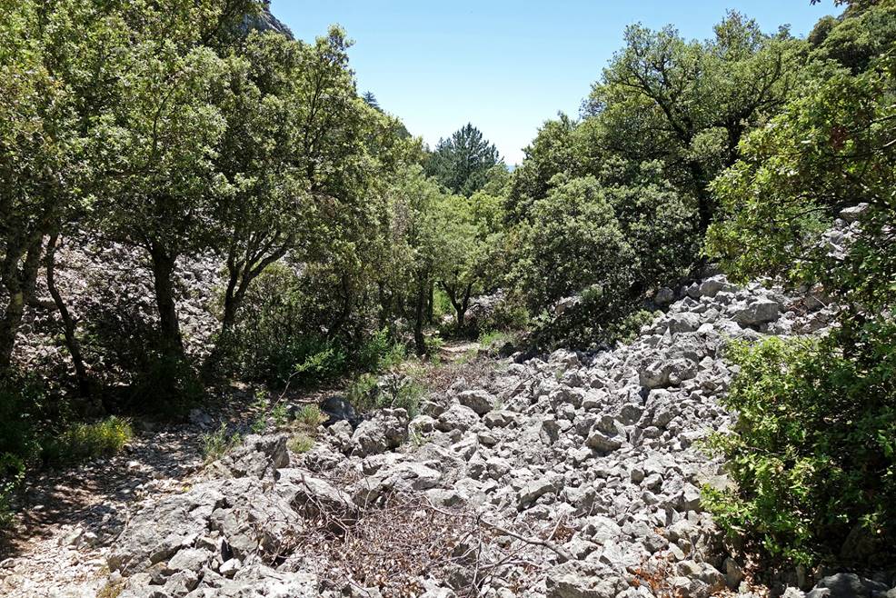
Reaching the Combe
Malaval.

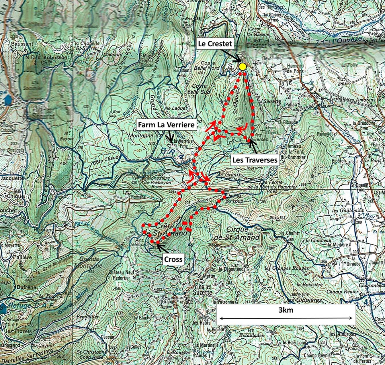
Hike on the Crete de Saint-Amand: From the village of Le Crestet
to the cross of Saint-Amand and back.
Map: This hike shown in dotted red line starts
at the yellow dot in the parking below the entrance of the village of Le Crestet.
Annotated photo from the previous hike
showing the relative locations of Le Crestet, the
Crete de Saint-Amand, and the town of Malaucene.

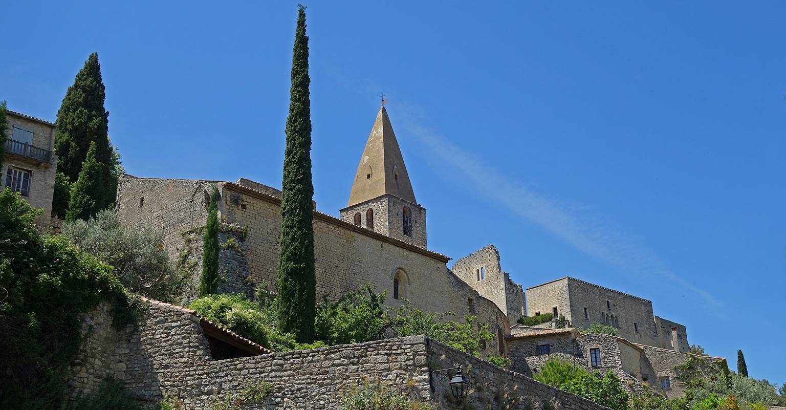
View of le Crestet,
with its 11th-century church on the left and its 9th-century castle on the
right, from the start of the hike.
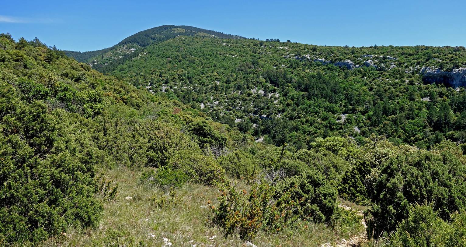
The Crete de Saint-Amand
seen from a location called Les Traverses (see map above).
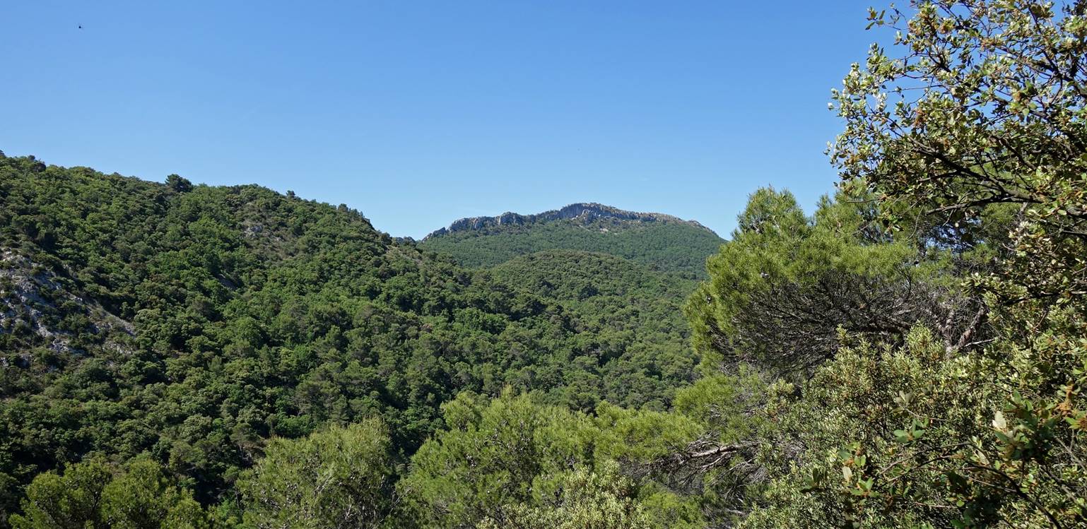
Zoom on the Crete de Saint-Amand.
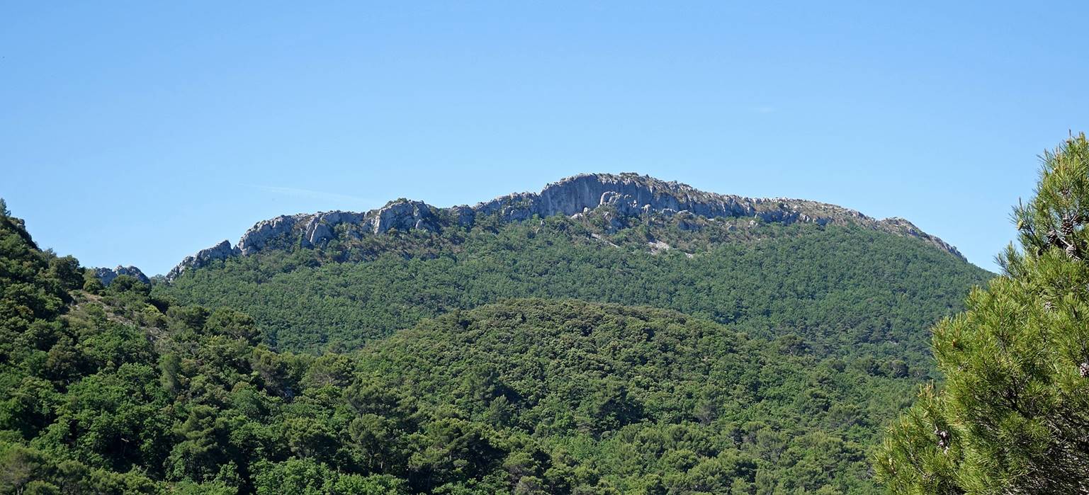
Views from the south-eastern side of the
Crete de Saint-Amand toward Mt. Ventoux.
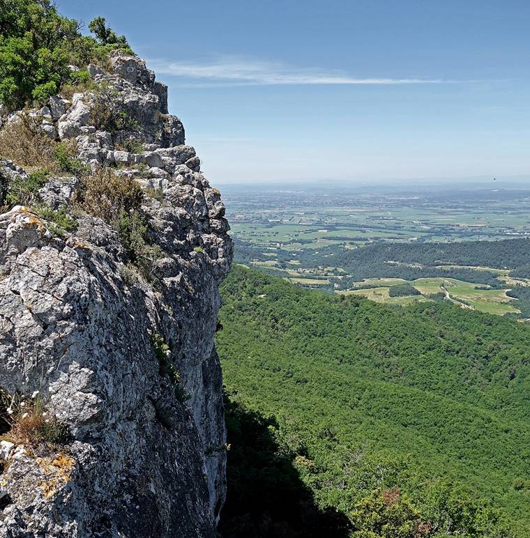
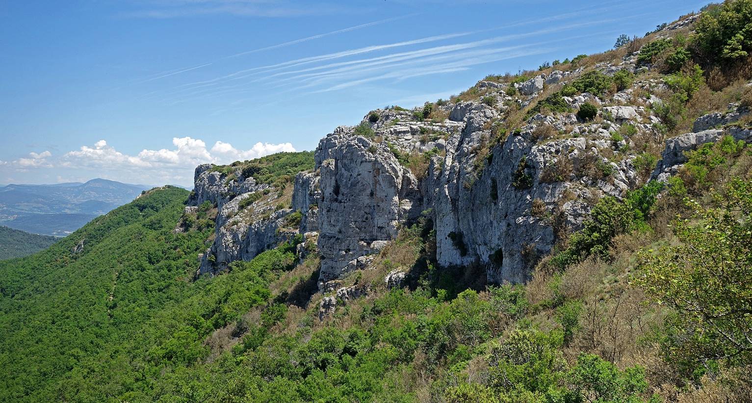
The limestone ridge seen from below.
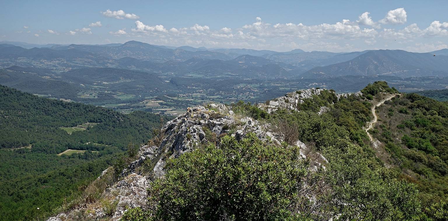
The northeastern portion of the rocky
ridge seen from the ridge.
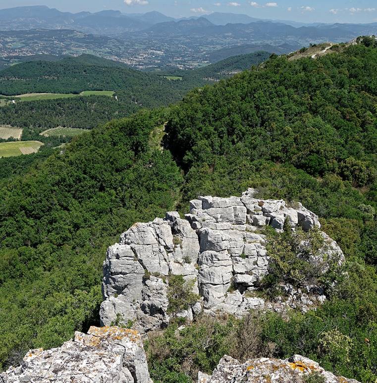
Other views from the ridge, toward the
north (left) and the south (right).
|
|
|
Mt. Ventoux
seen from the middle of the Crete de Saint-Amand.

View toward the south-east from the
ridge.
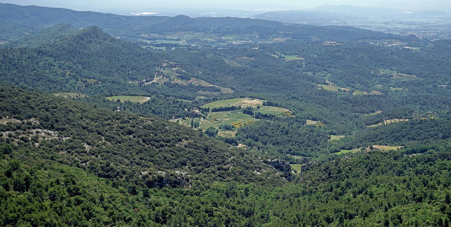
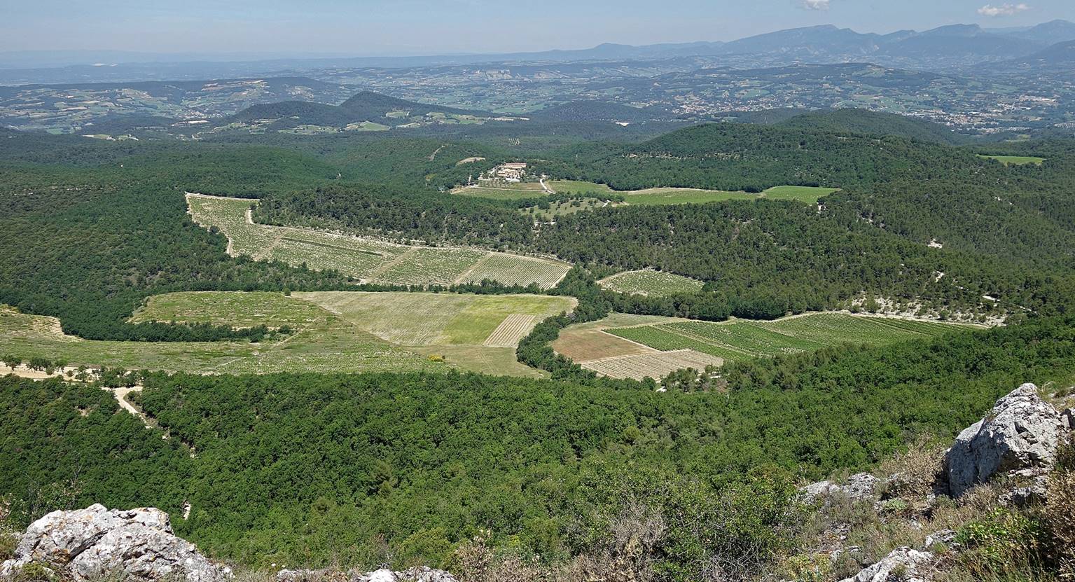
The Farm La Verriere
(see map) and surrounding vineyards and forests seen from the ridge.
Another view of the Farm La Verriere and its surroundings.
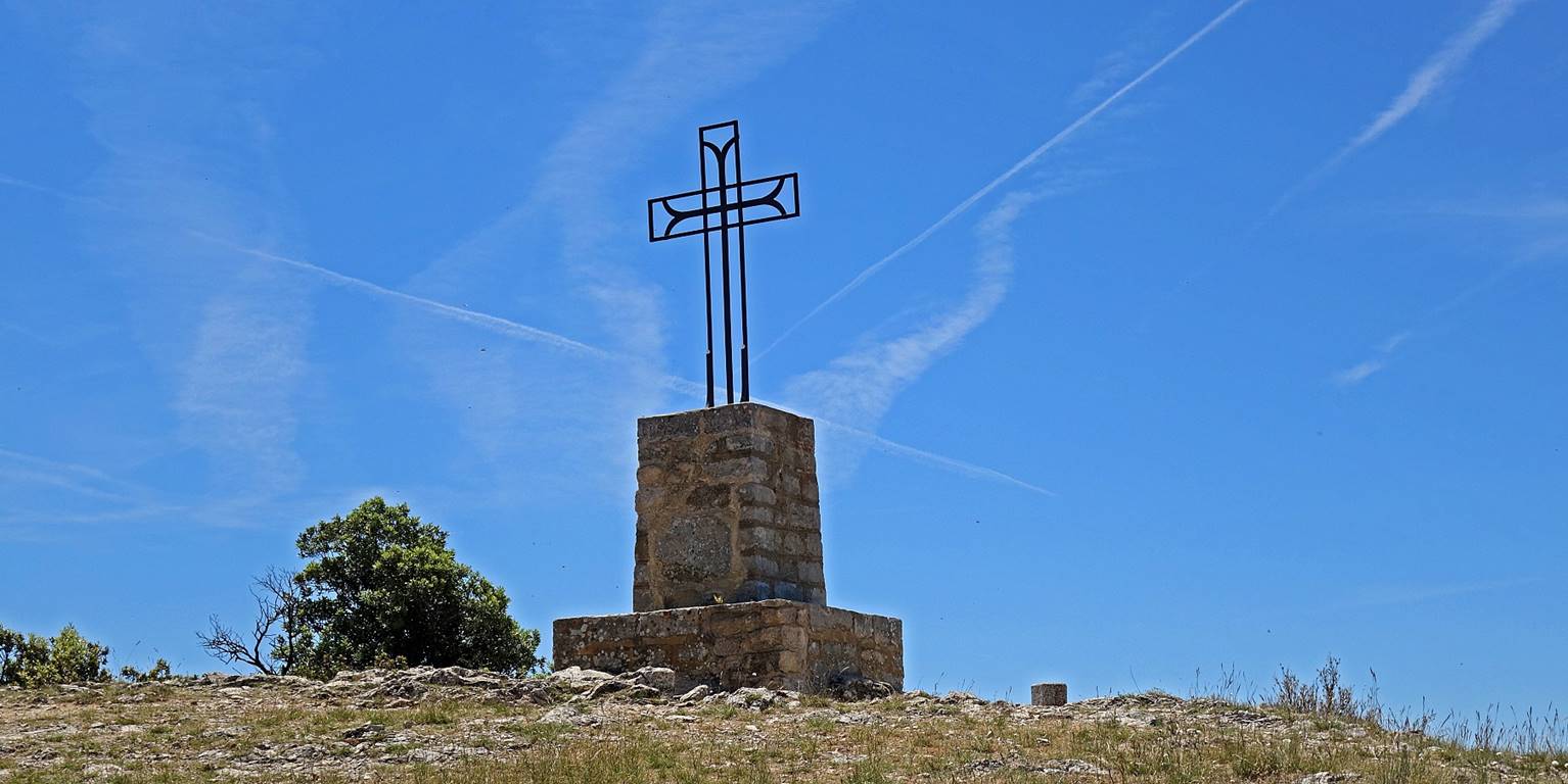
The cross standing at the southwestern
end of the ridge, the highest point (~730m) of the Crete de Saint-Amand.
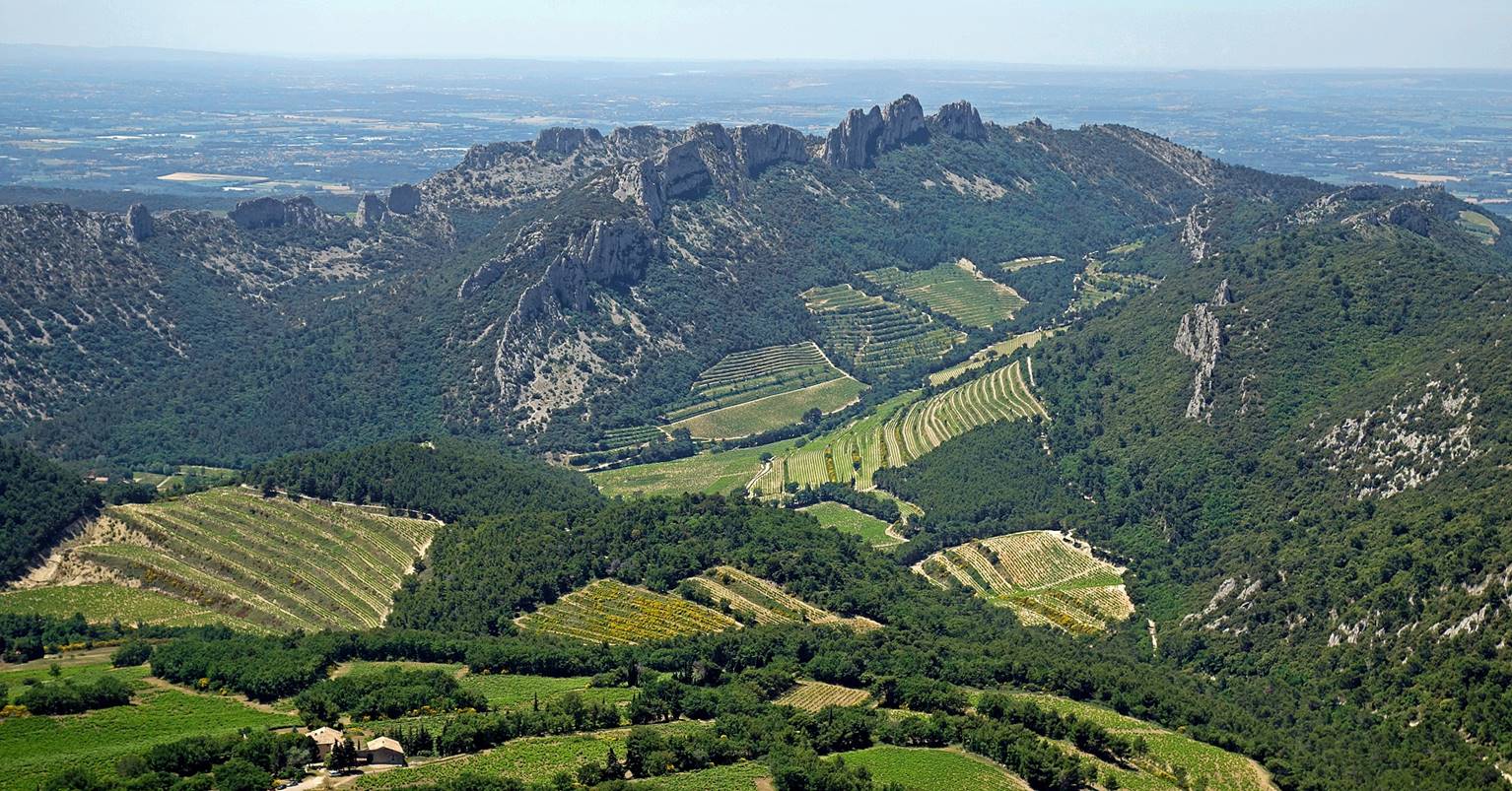
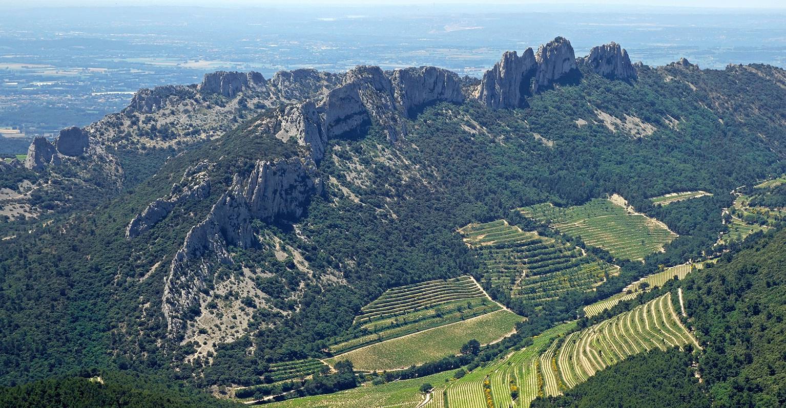
Gorgeous views over the Dentelles de Montmirail from the cross, with the Chaine
du Clapis on the left, the Dentelles Sarrasines in the middle, and the Grande Montagne on the
right (visible only in the first photo below).
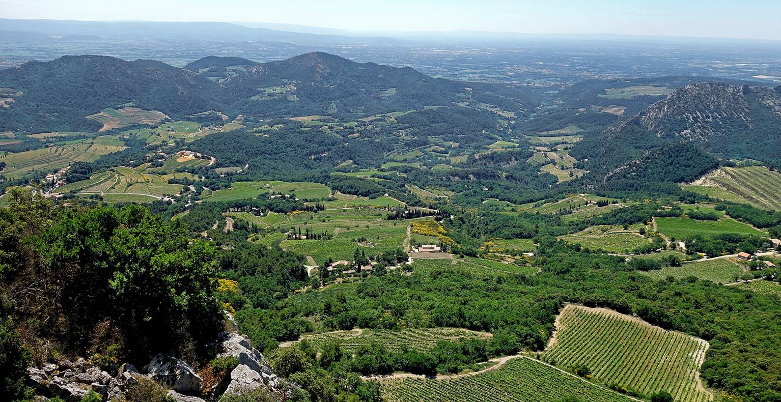
View over vineyards south of the cross,
with the Comtat Venaissin
plain in the background.
View at the start of the descent on the
western side of the Crete de Saint-Amand, below the
cross.
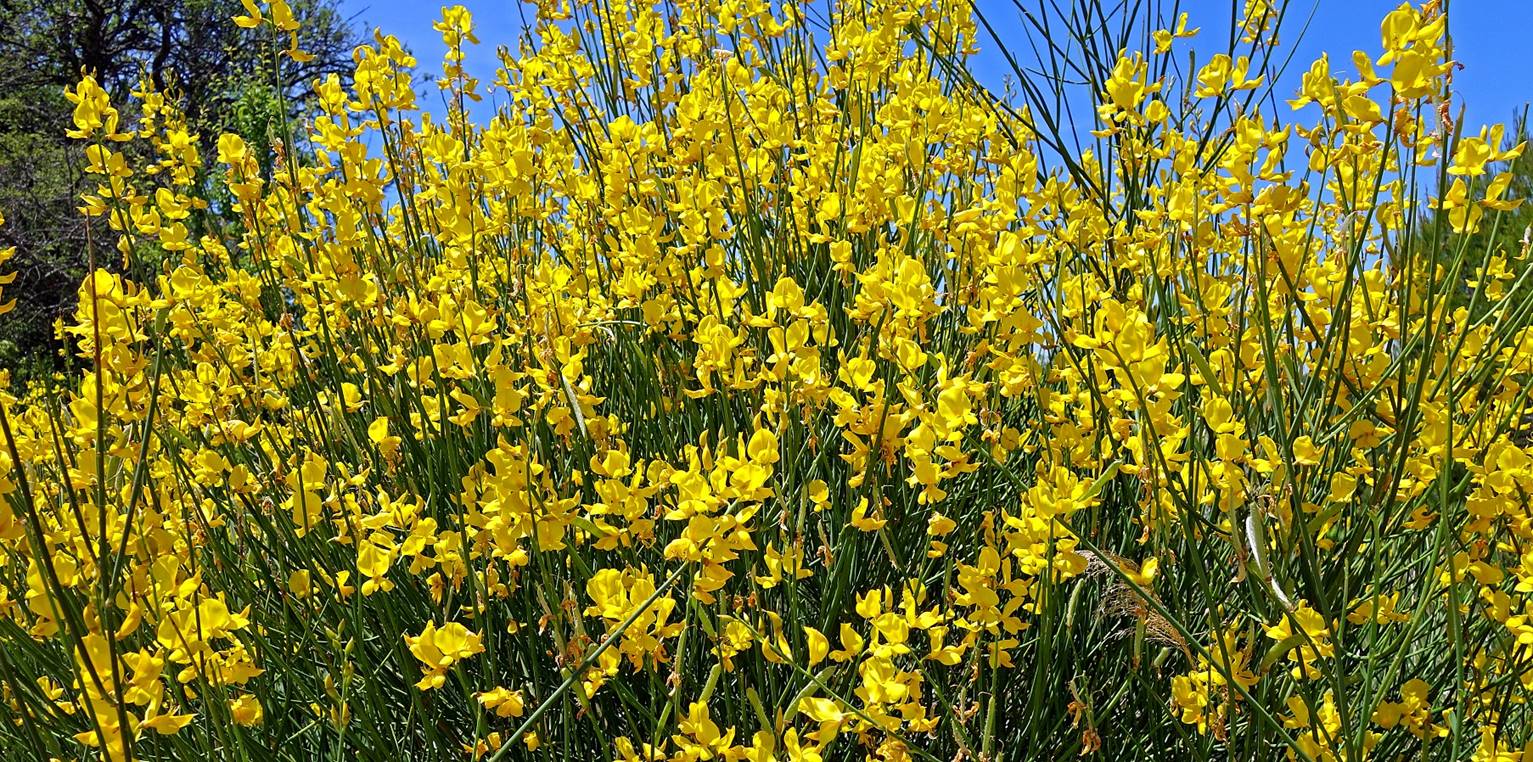
Beautiful and fragrants
brooms (Genisteae) along the way back to Le Crestet.
Manicured vineyard near the farm La Verriere.
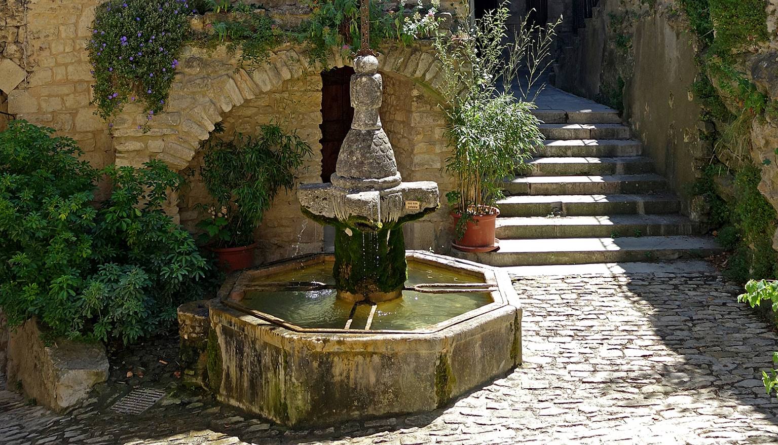
The fountain in the small central square
of Le Crestet, the end of the hike.
![]()