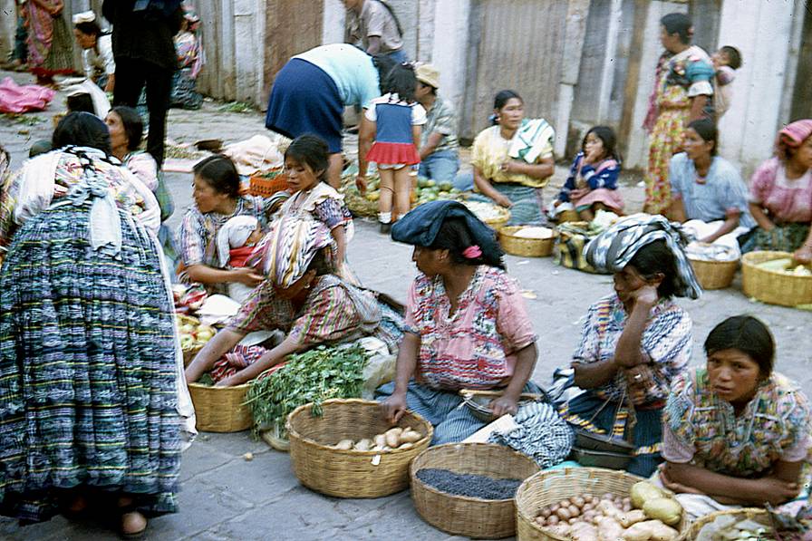
Guatemala (August 1971)
![]()
Return to my mountaineering/trekking/travel webpage
Here are
scans of some photos of a trip that I made to Guatemala in 1971. The photos are
old and the scans are not always good. For photos of a more recent trip (2014)
click here.
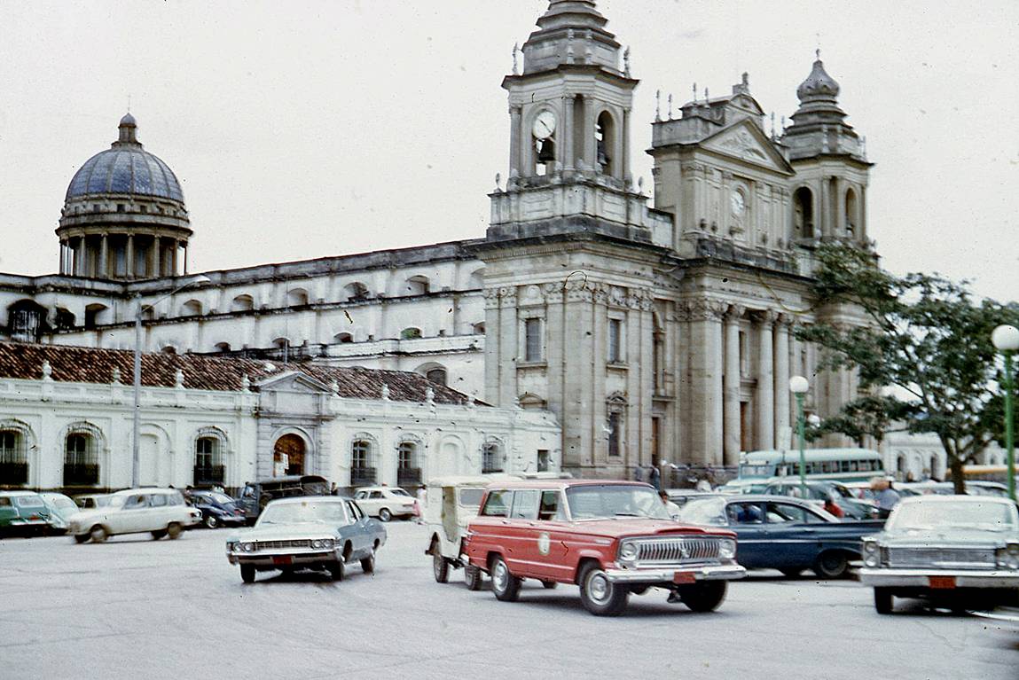
Cathedral of Guatemala City.
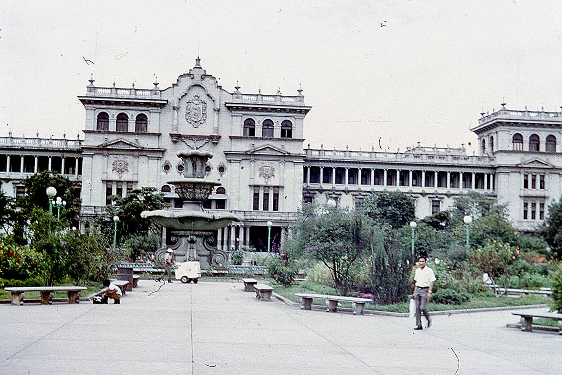
National Palace on Plaza Major in Guatemala City.
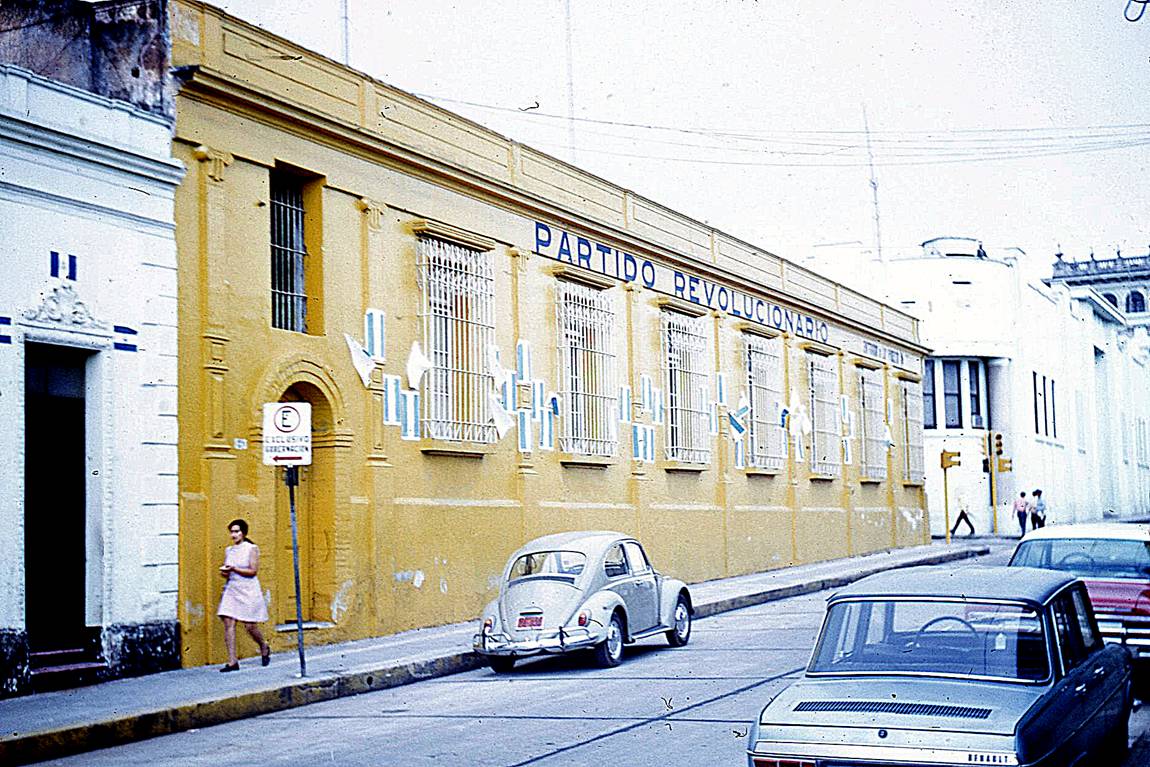
Building of the Revolutionary Party in Guatemala City.
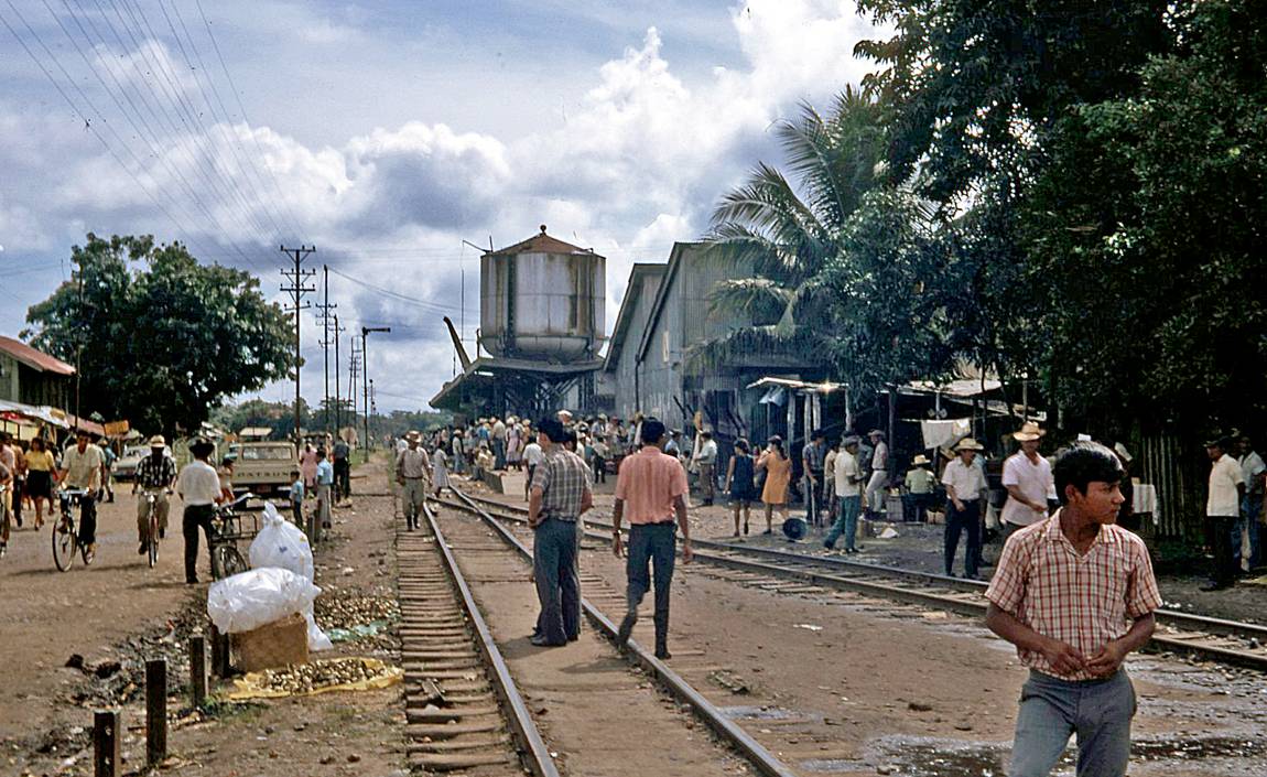
Railway from Guatemala City to Puerto Barrios. This line was completed in
1908, shut down in 1996, rehabilitated in 1999, then suspended again in
September 2007.
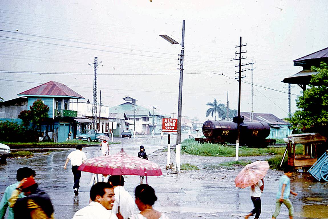
Rainy day in Puerto Barrios.
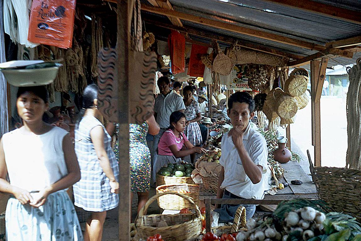
Shop in Puerto Barrios.
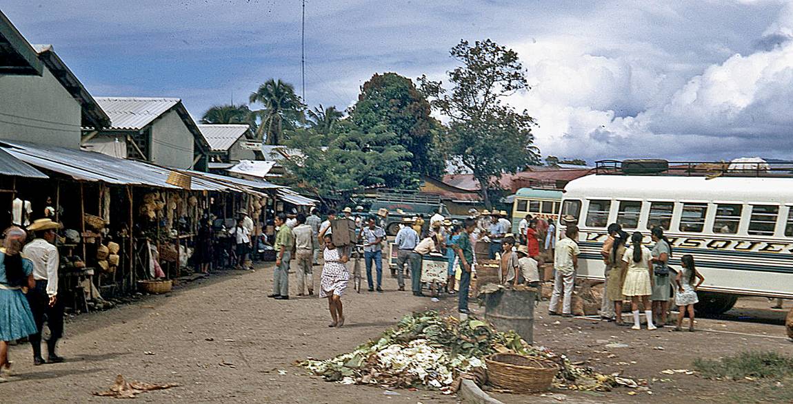
Bus station in Puerto Barrios.
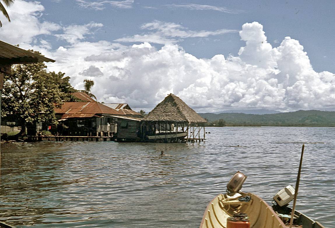
Lake de Izabal on Rio Dulce.
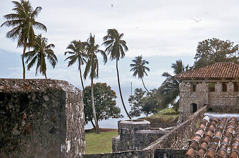
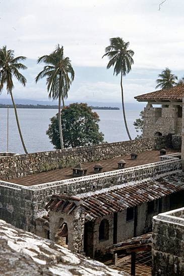
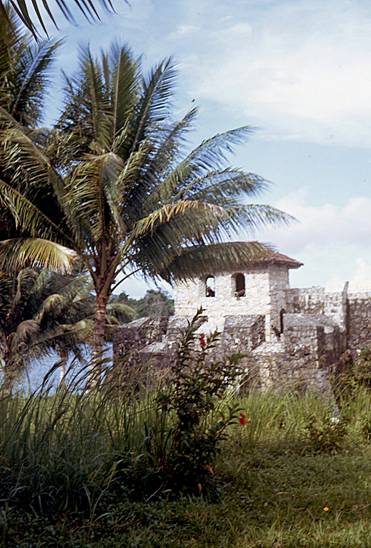
Castillo de San Felipe on the shore of Lake de Izabal.
|
|
|
|
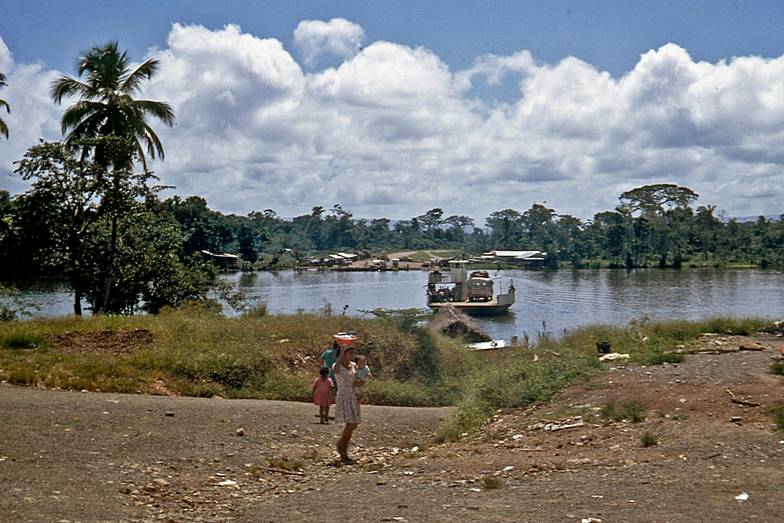
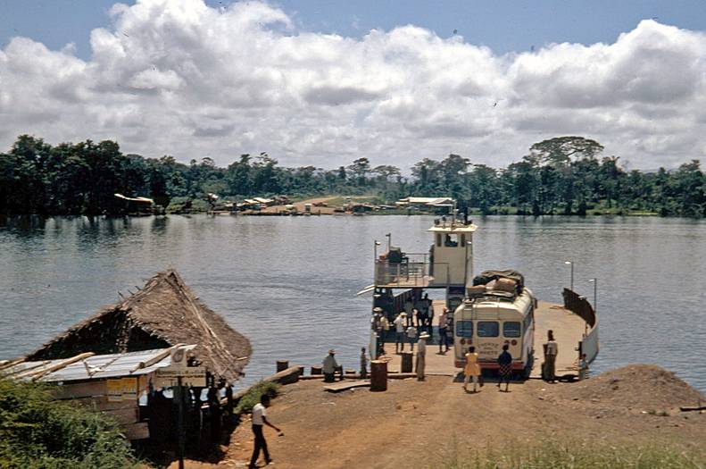
Ferry across Rio Dulce on the way to Flores and Tikal.
|
|
|
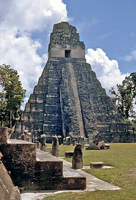
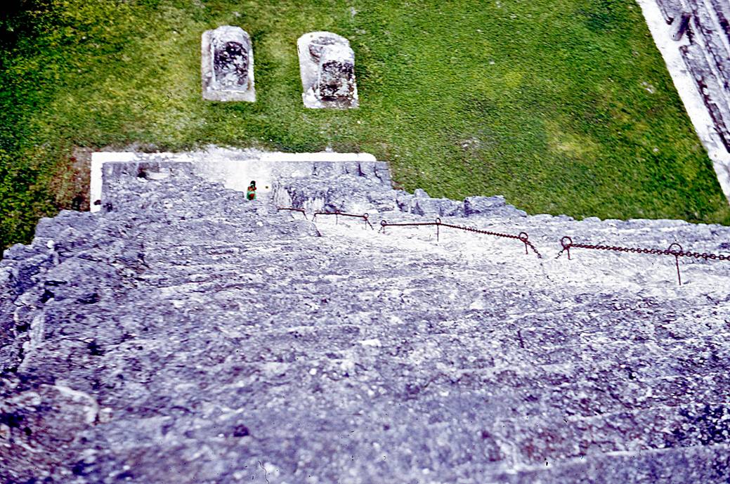
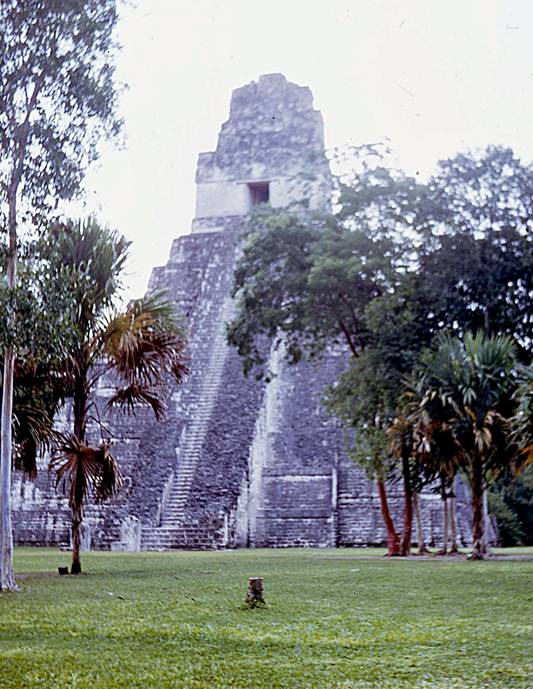
Templo I on the Gran Plaza of Tikal. In 1971, climbing to the top of this
pyramid was still allowed.
|
|
|
|
|
|
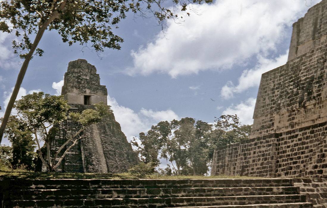
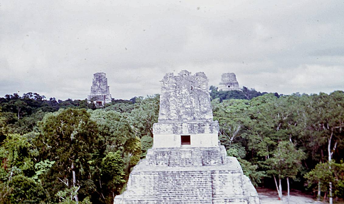
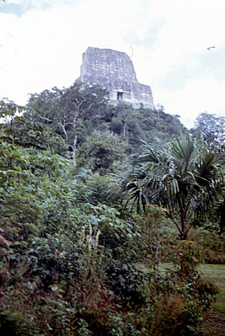
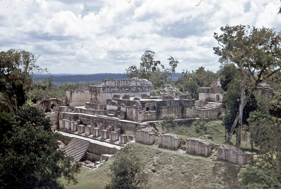
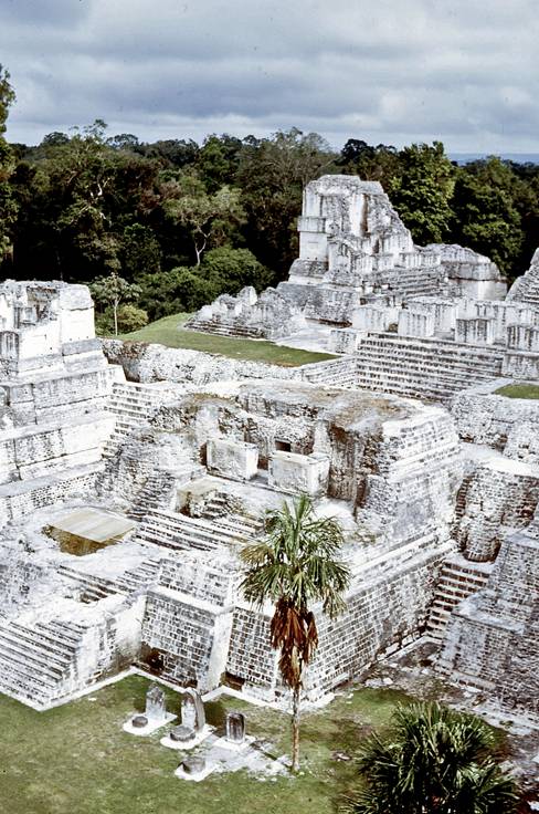
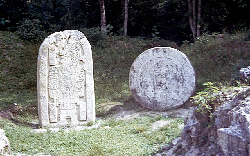
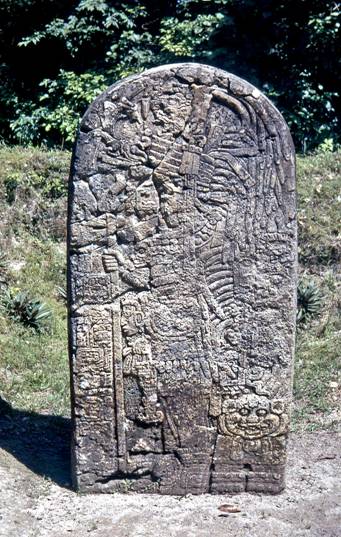
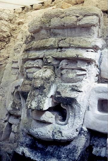
Other temples, pyramids and stelae in Tikal.
|
|
|
|
|
|
|
|
|
|
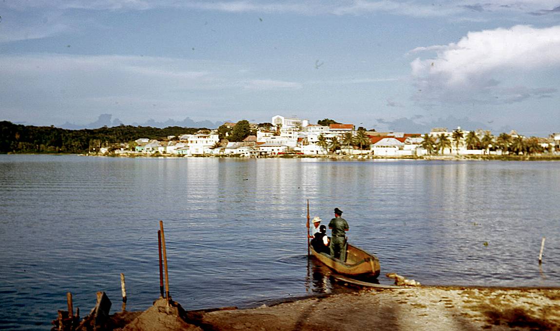
The town of Flores. It entirely occupies a small island on Lake Peten
Itza and is connected by a causeway to the south shore of the lake (were the
town of Santa Elena is now located). From the end of the 19th
century until the early 1970′s the economy of Flores and its area
depended heavily on ′′chicle′′, the resin of the
sapodilla tree used in the manufacturing of chewing gum. During the 1970′s
chicle was replaced by artificial substitutes. Fortunately for Flores, tourism
came to the rescue.
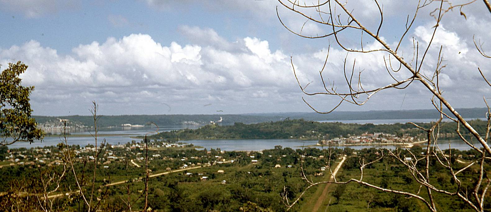
Flores seen from a hill south of Lake Peten Itza. Nowdays,
the town on Santa Elena lies at the foot of this hill. In 1971, there were only
a few houses.
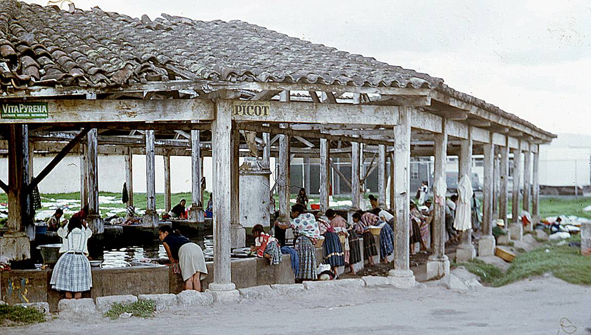
Communal wash house near Lake Peten Itza.
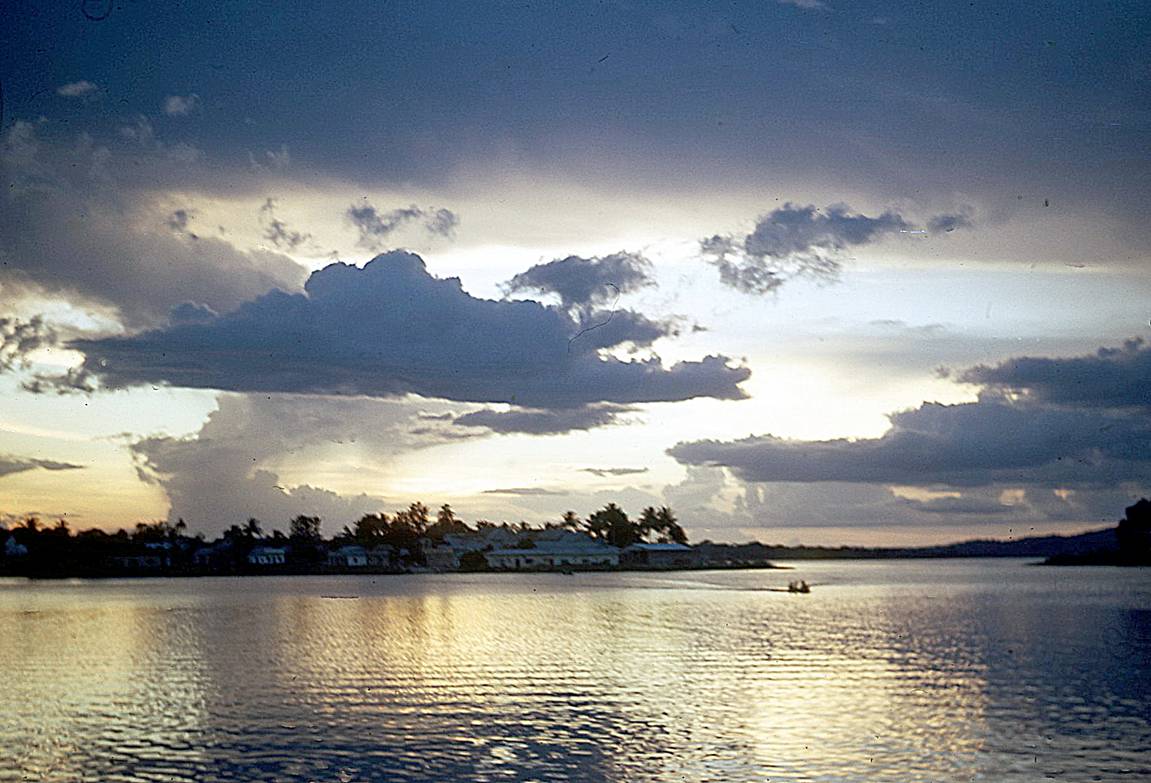
Sunset over Lake Peten Itza seen from Flores island.
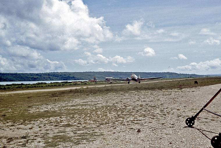
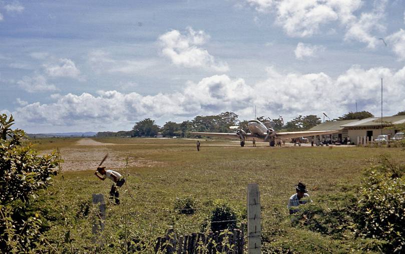
In 1971 Flores airport was serviced by DC3 aircrafts.
|
|
|
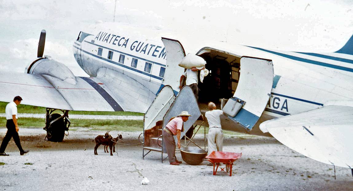
Loading the DC3 that I took from Flores back to Guatemala City. During
the flight the goats roamed free between the seat rows.
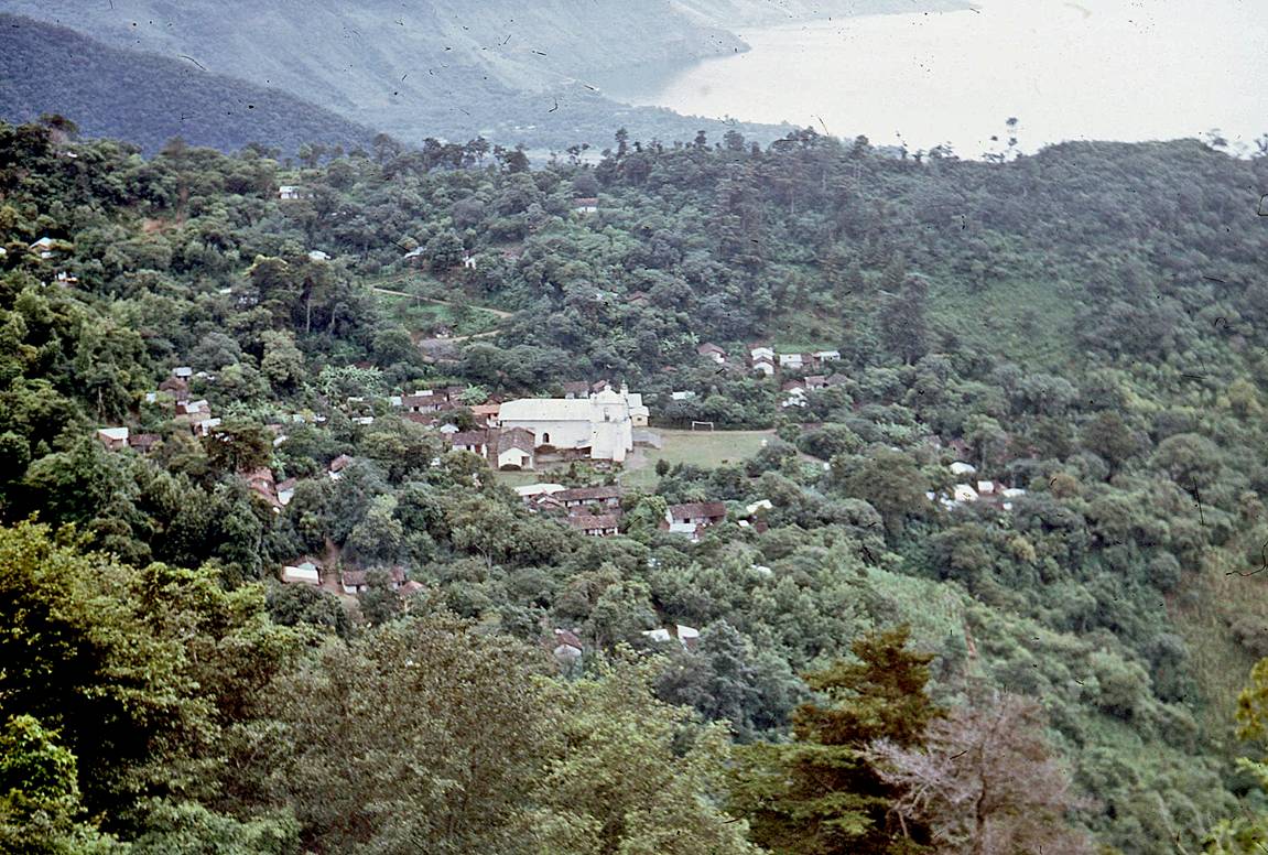
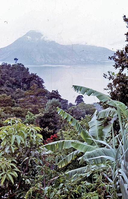
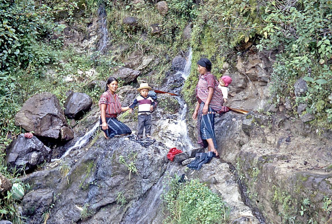
Around Lake Atitlan.
|
|
|

|
|
|