In the Lowlands of
Guatemala (July 2014):
Flores,
Tikal, Yaxha, Sayaxche, and
Aguateca
 Return
to Guatemala 2014 webpage
Return
to Guatemala 2014 webpage
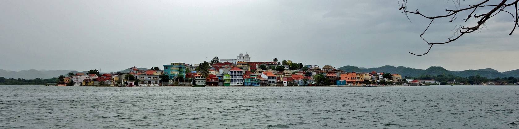
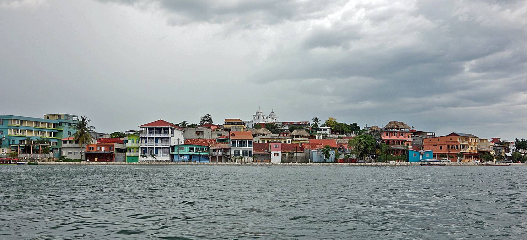
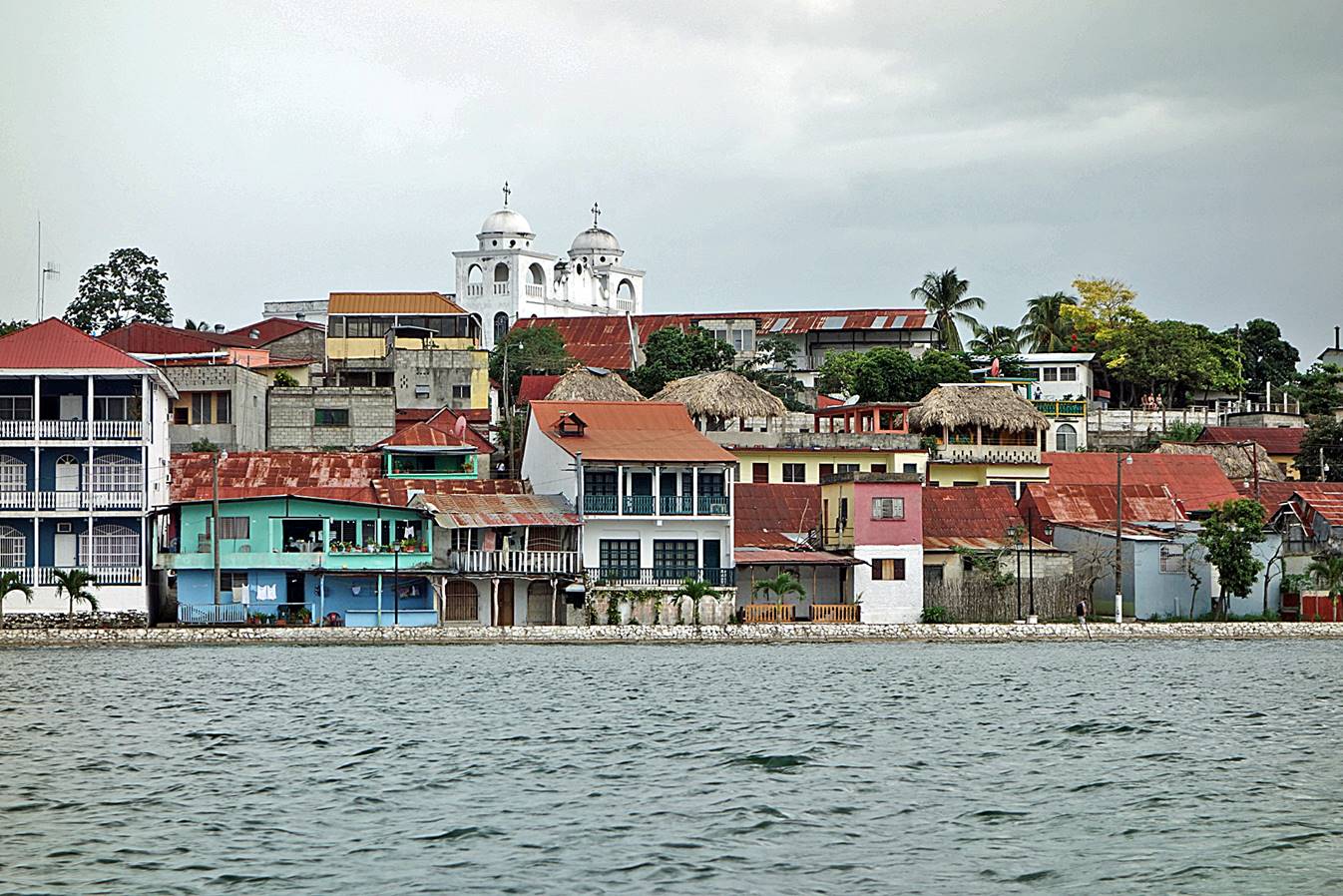
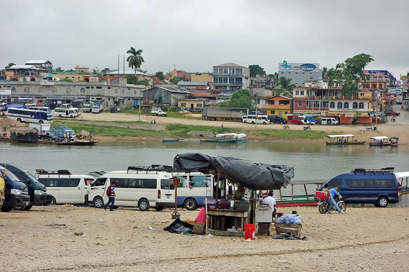
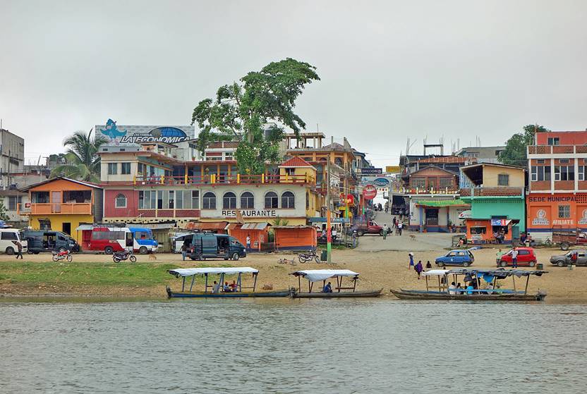
Flores and Lake Peten Itza:
The pretty
town of Flores is built on a small island on Lake Peten
Itza, connected by a causeway to Santa Elena on the southern lakeshore.
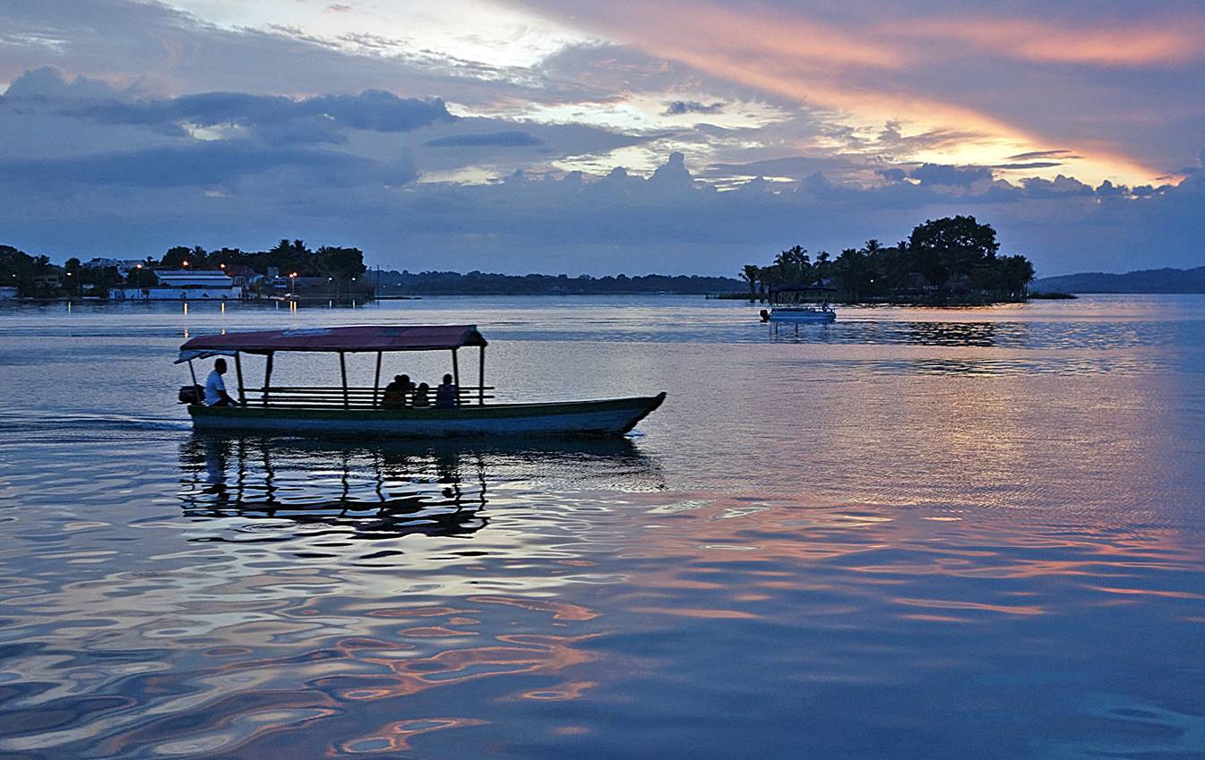
The three
following photos show Flores from the village of San Miguel located on the
lakeshore north of Flores and during a boat ride between the two places.
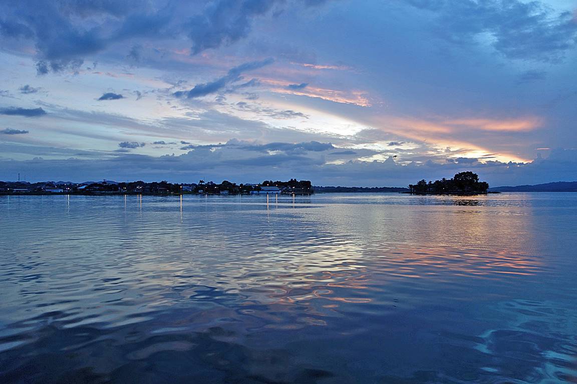
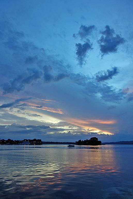
Sunset over
Lake Peten Itza seen from Flores.
|
|
|
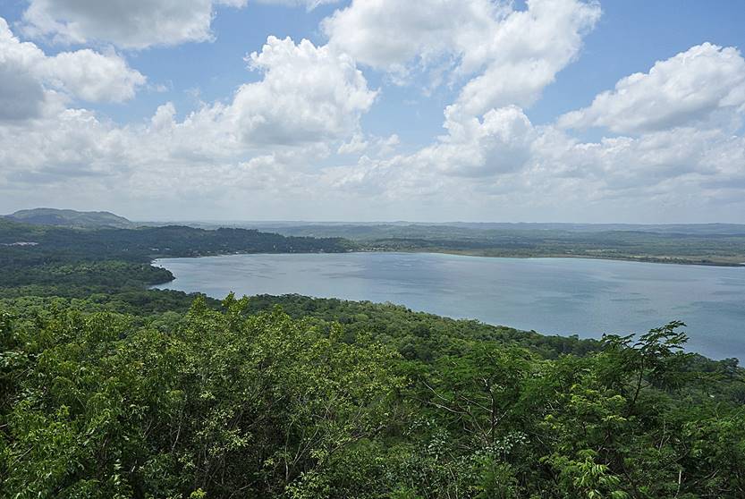
North-east
shore of Lake Peten Itza (near the village of El Remate).
|
|
|
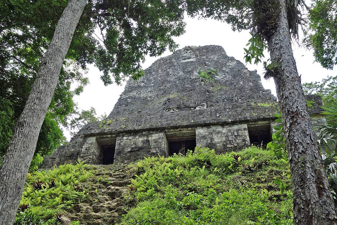
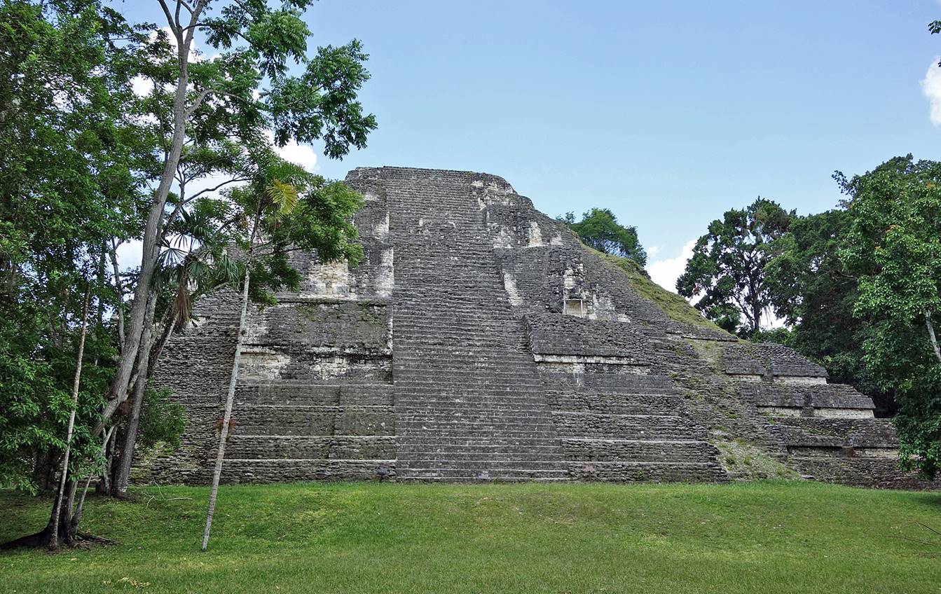
Tikal:
Templo VI.
|
|
|

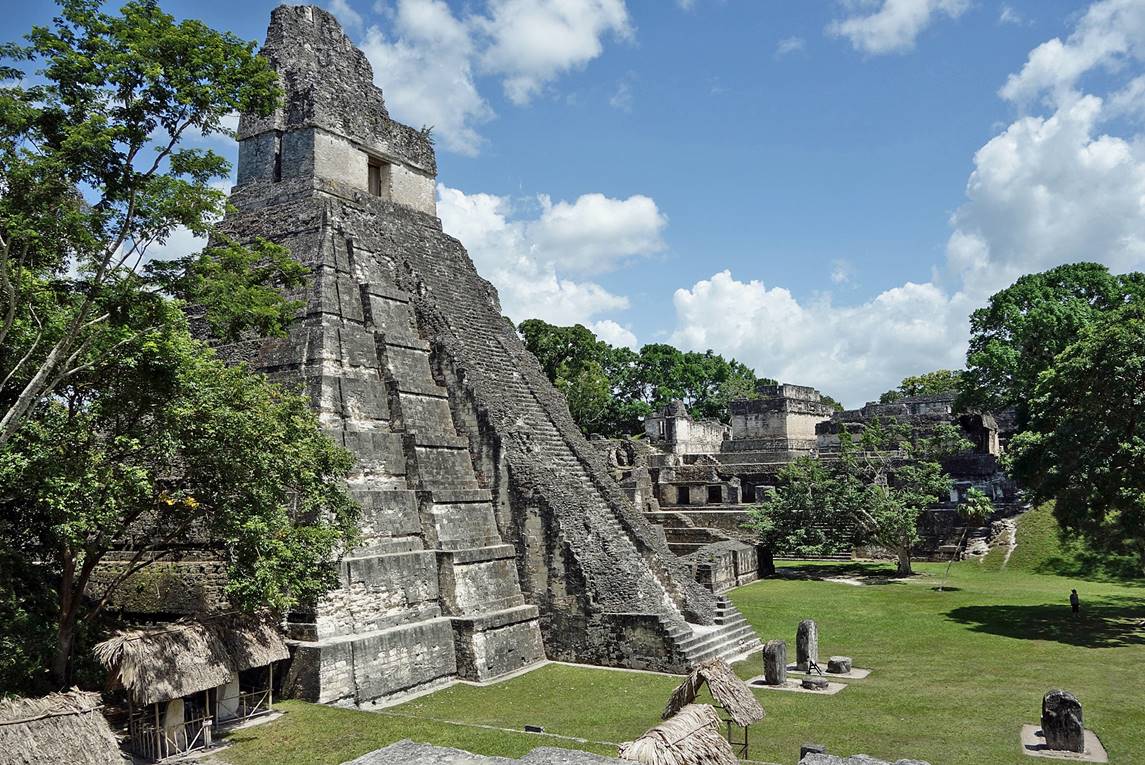
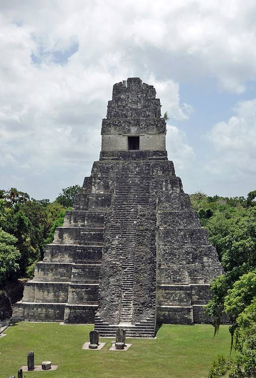
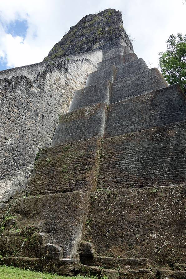
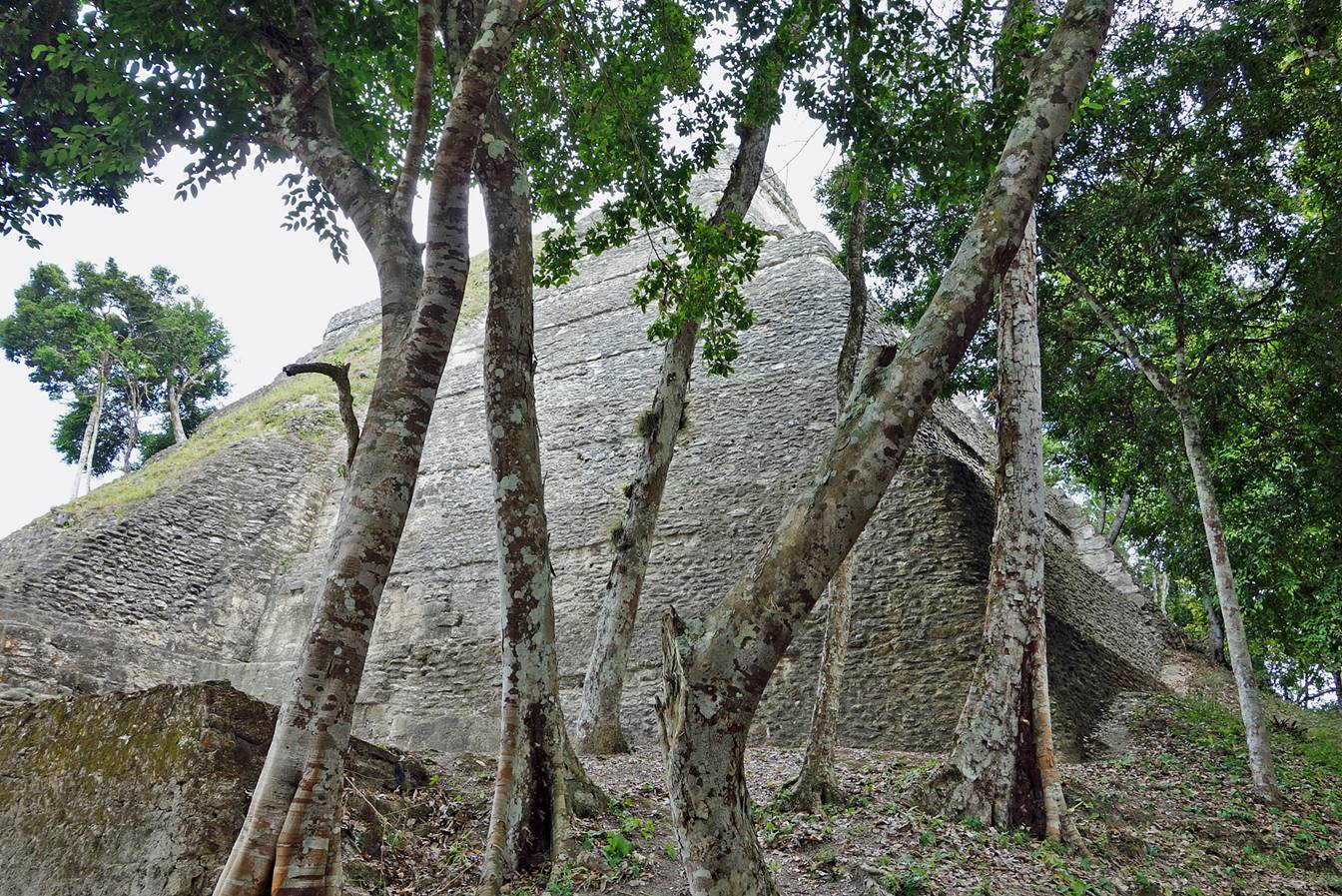
Templo I.
|
|
|
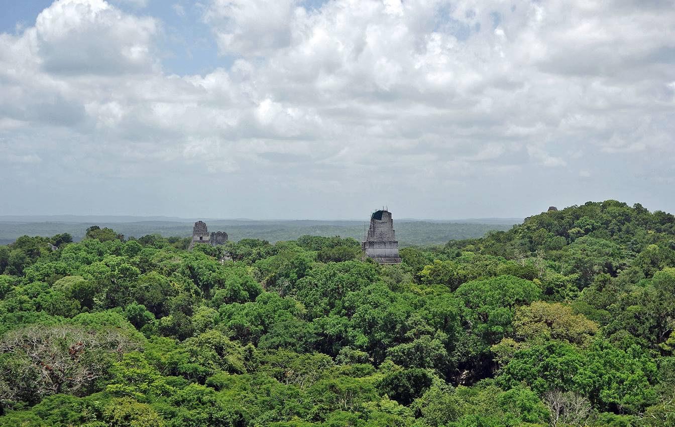
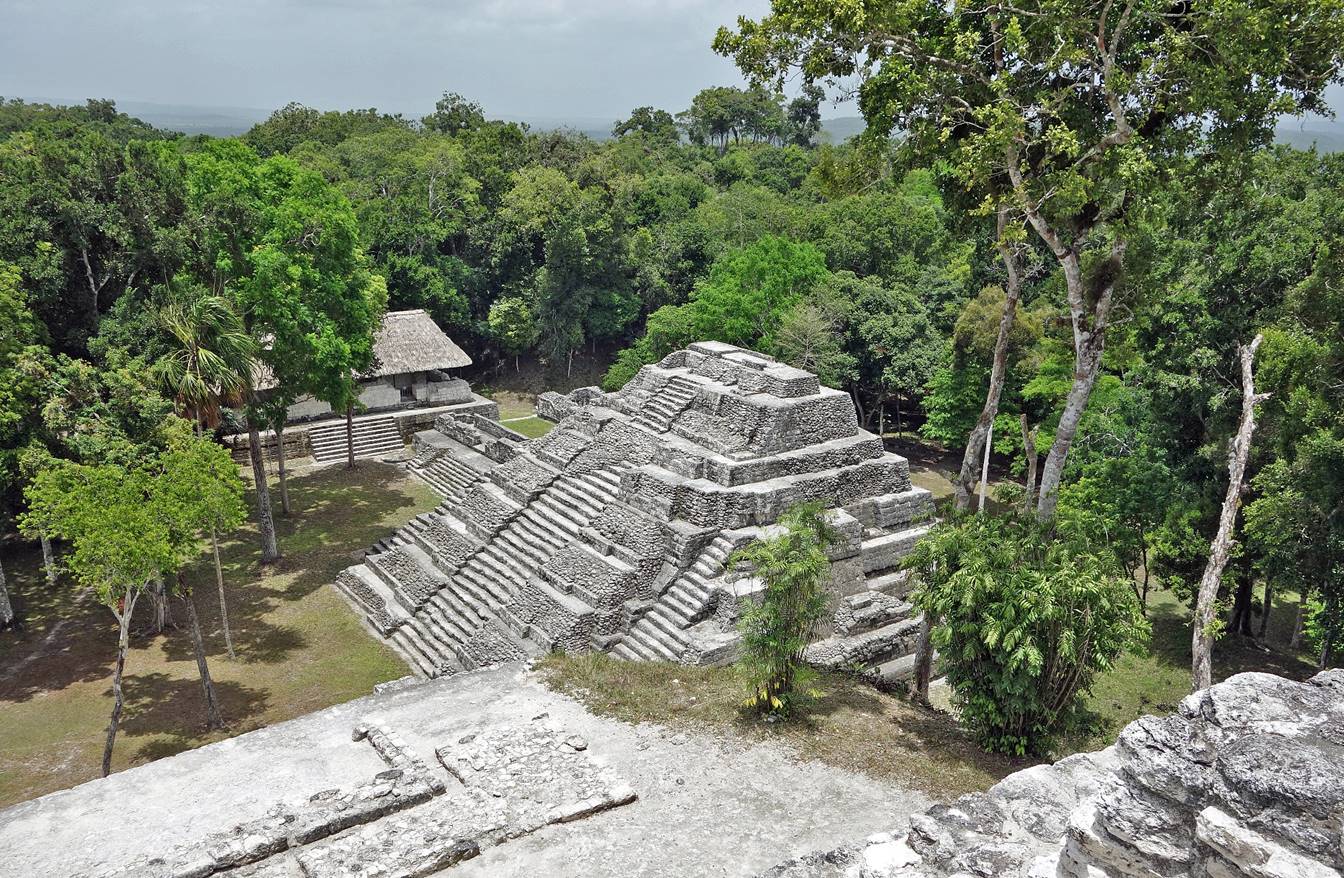
View over the
forest from Templo II.
Gran Pyramidi in El Moundo
Perdido.
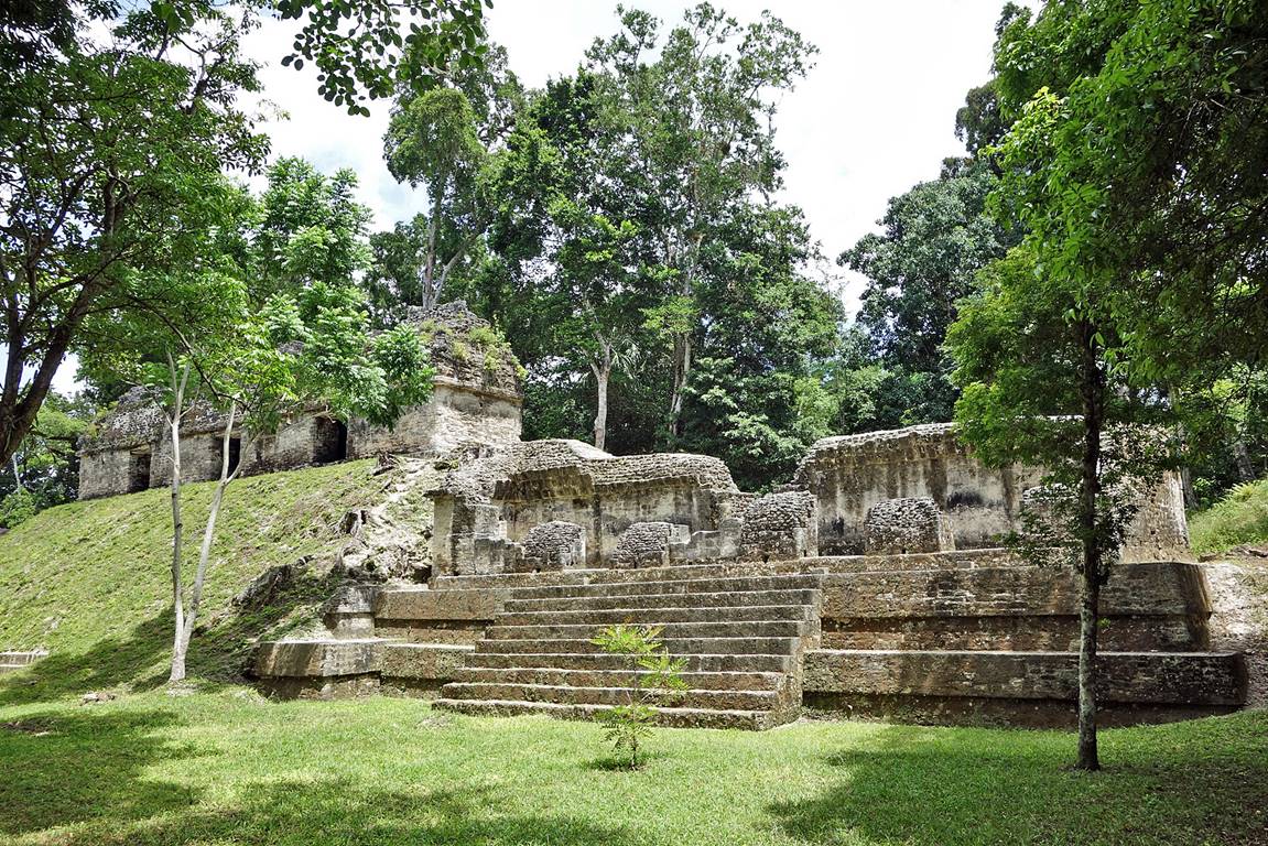
Around the Plaza de los Siete Templos.
|
|
|

Templo V rising above the forest foliage (seen from the
top of Templo II).

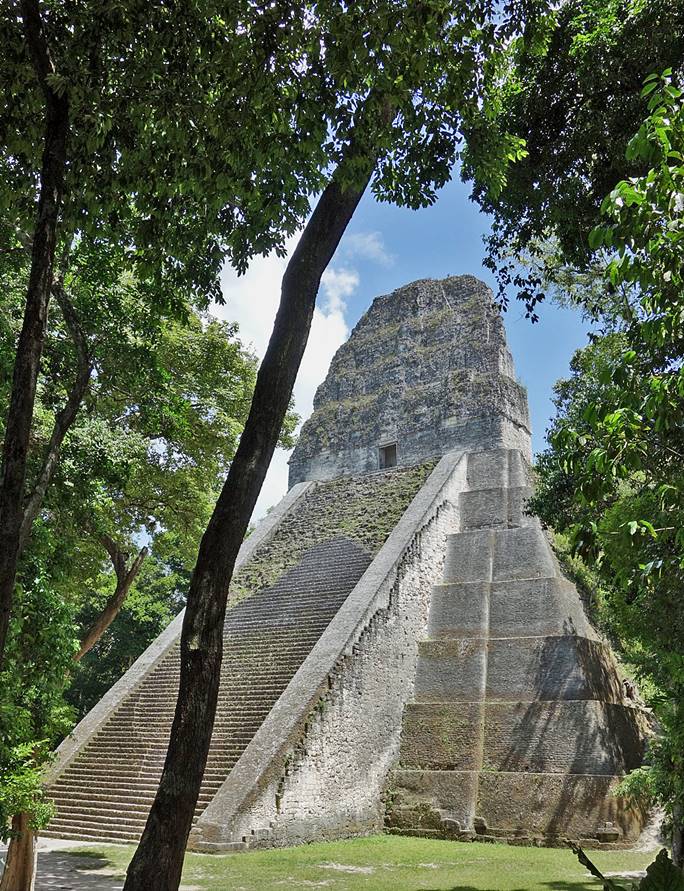
Templo V seen from its base.
|
|
|
Yaxha:
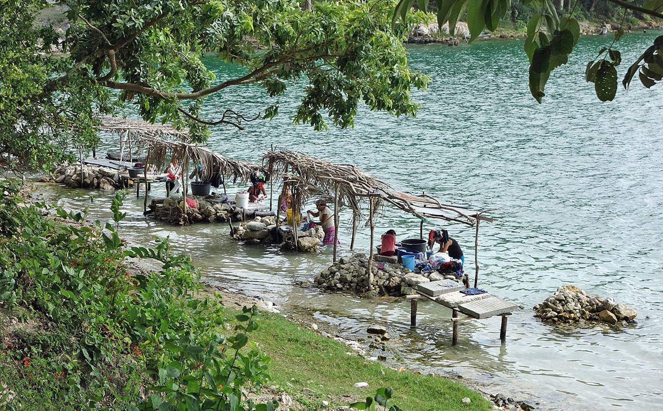
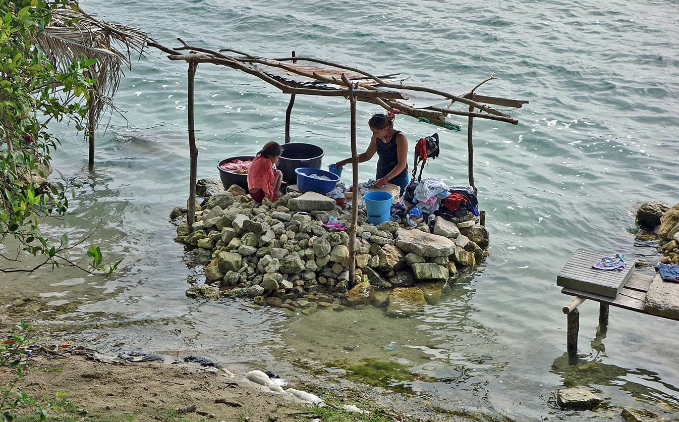
Washerwomen along the shore of Lake Salpeten Macanche (a few
kilometers east of Lake Peten Itza on the way to Yaxha).
Main pyramid
of the North Acropolis of Yaxha seen from the top of
the construction known as the ′′Greater Astronomical Complex′′.

Part of the
North Acropolis seen from the top of its main pyramid.
Pyramid known
as ′′Structure 216′′ in the East Acropolis.
View from the
top of ′′Structure 216′′ over Laguna Yaxha.

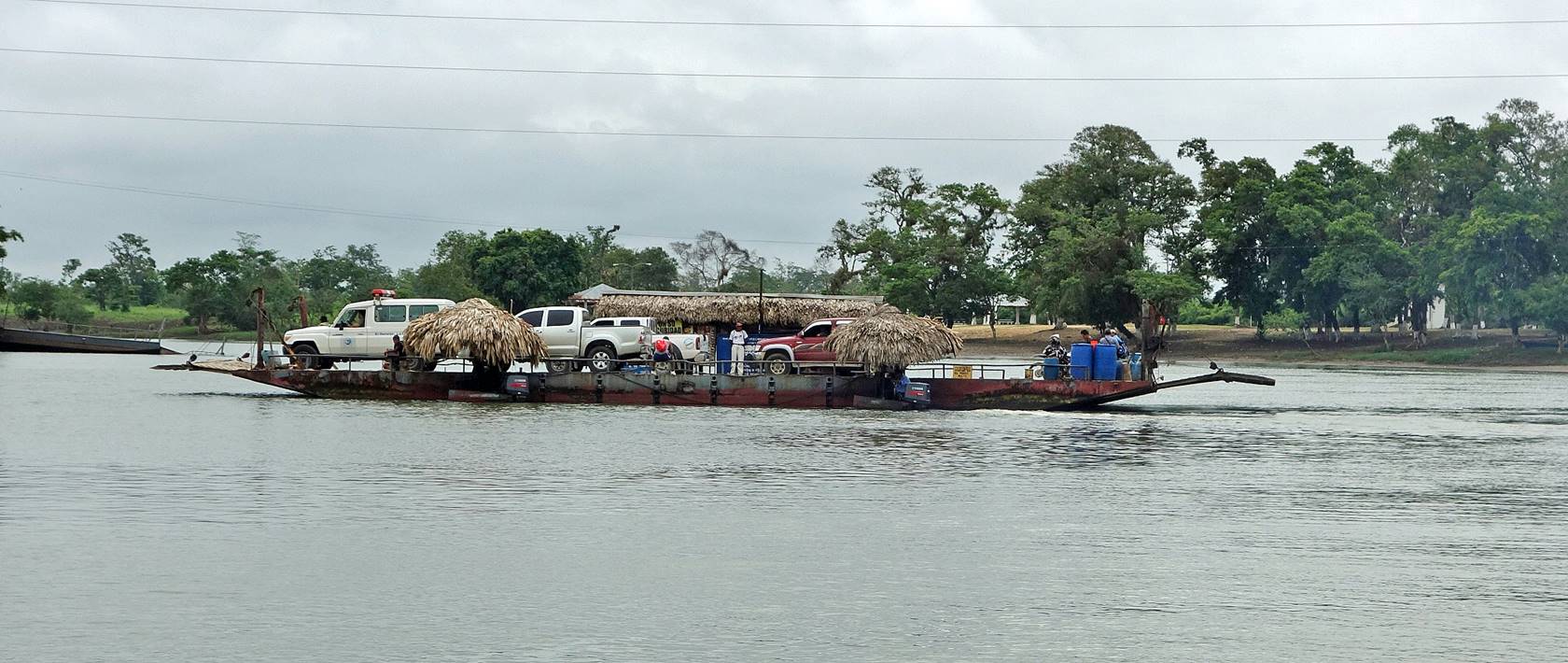
Sayaxche:
The town of Sayaxche,
located on the road between Flores and Coban, sits on
the banks of the Rio Passion. There is no bridge over the river, which must be
crossed by ferry or boat. Sayaxche is the gateway to
several archeological sites, including Ceibal and Aguateca. It is also possible to ride the Rio Passion down
to the Mexican border.
|
|
|
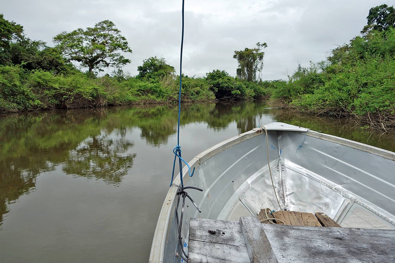
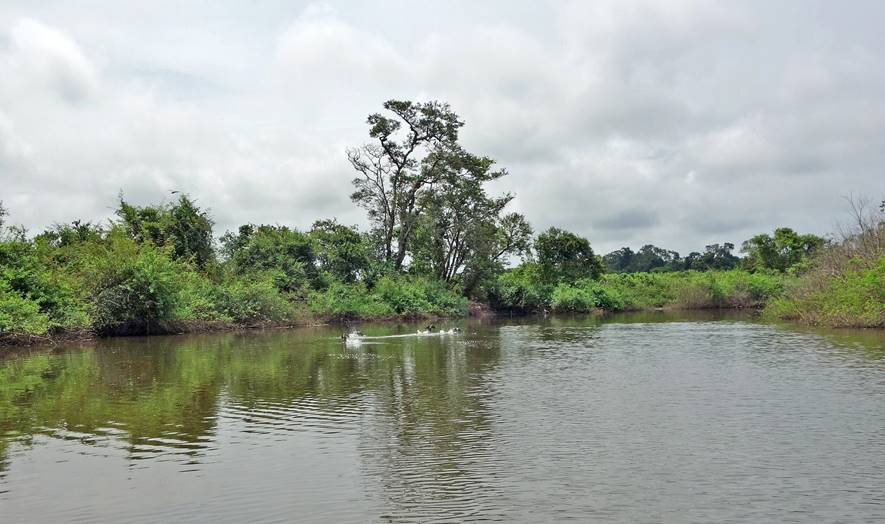
Aguateca:
The archeological site of Aguateca is reached from Sayaxche
by riding up the Rio Petexbatun (a triburary of the Rio Passion).
|
|
|
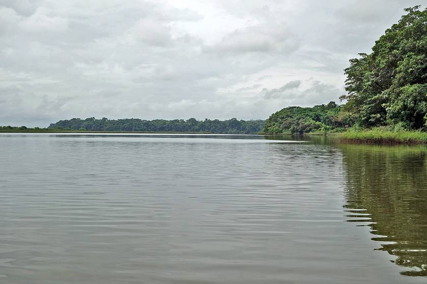
The trip to Aguateca eventually traverses the Laguna Petexbatun.
|
|
|
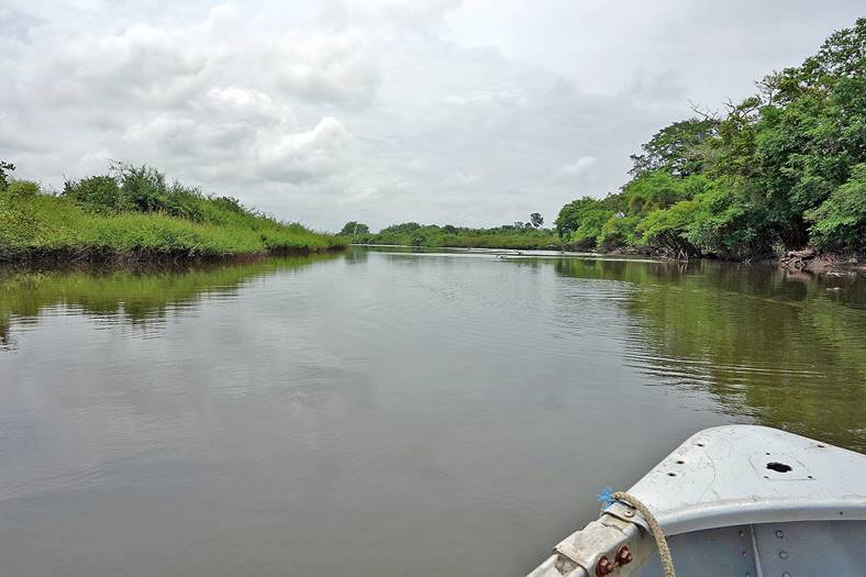
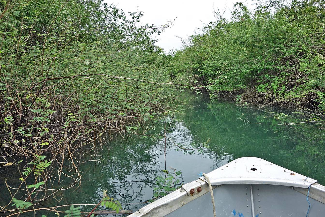
Beyond Laguna Petexbatun the Rio Petexbatun
becomes much narrower.
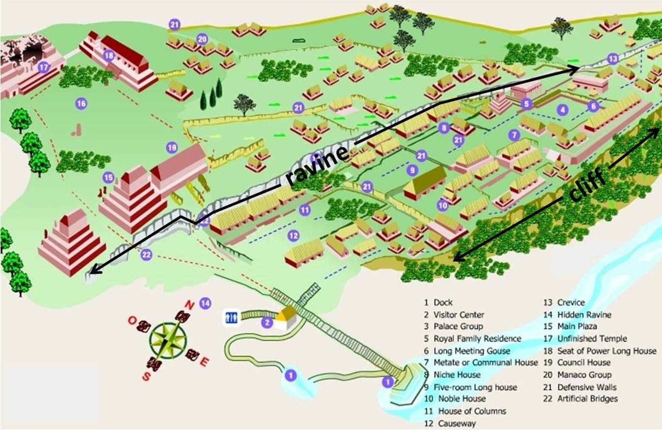
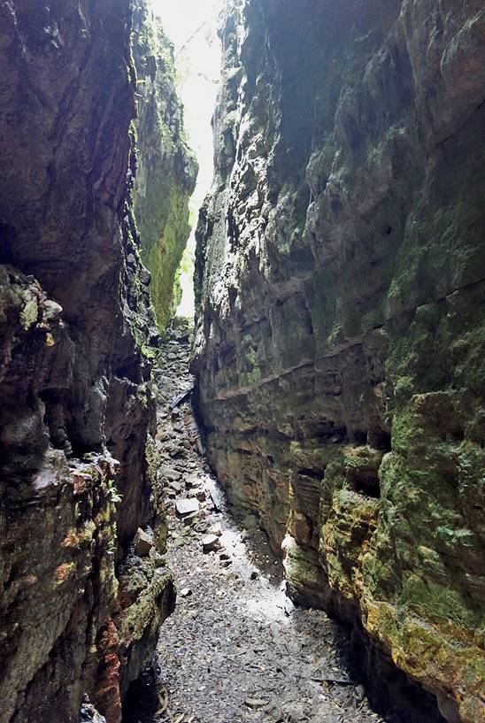
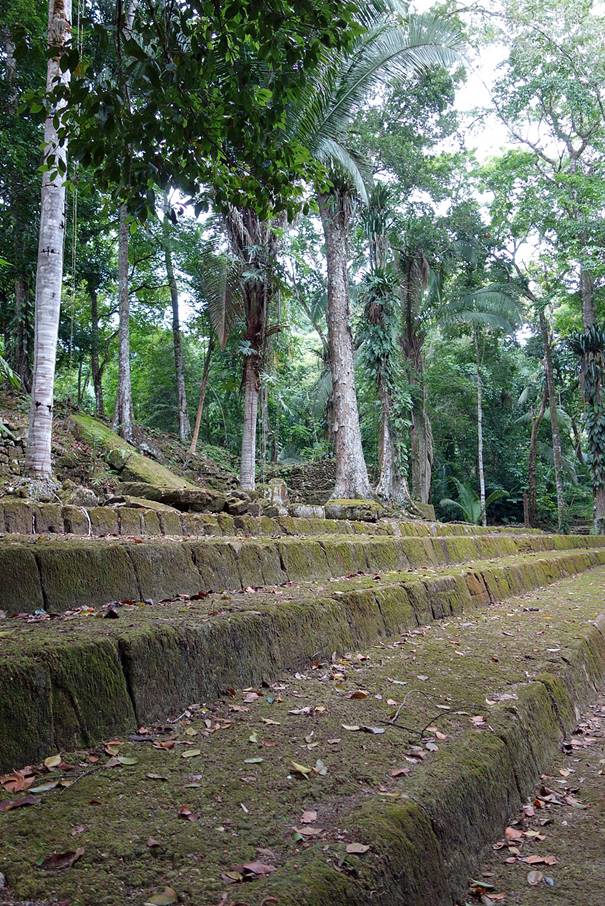
The remains
in the city of Aguateca are not as impressive as
those of Tikal or Yaxha. But the site is particularly
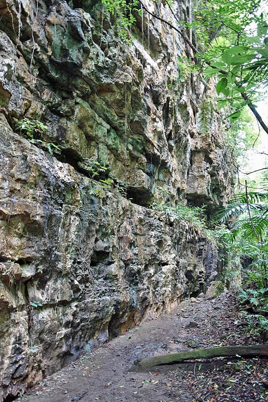
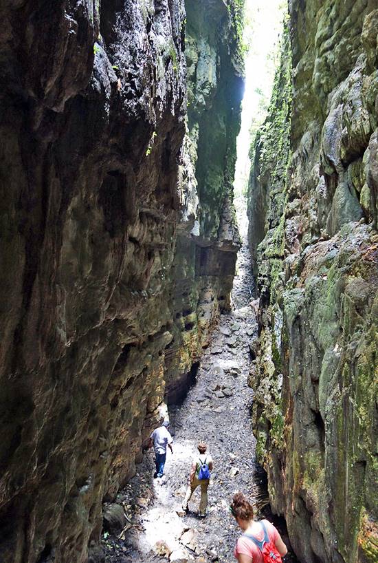
interesting: the city sits on a flat hill defended by vertical cliffs and split
by a deep narrow ravine (see map and photos below), a position that may explain
its military successes. In addition, Aguateca feels
more remote than Tikal or Yaxha.
Inside the ravine.
|
|
|
|


|
|
|
|

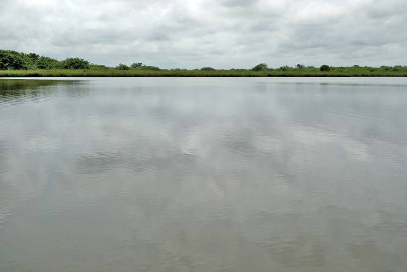
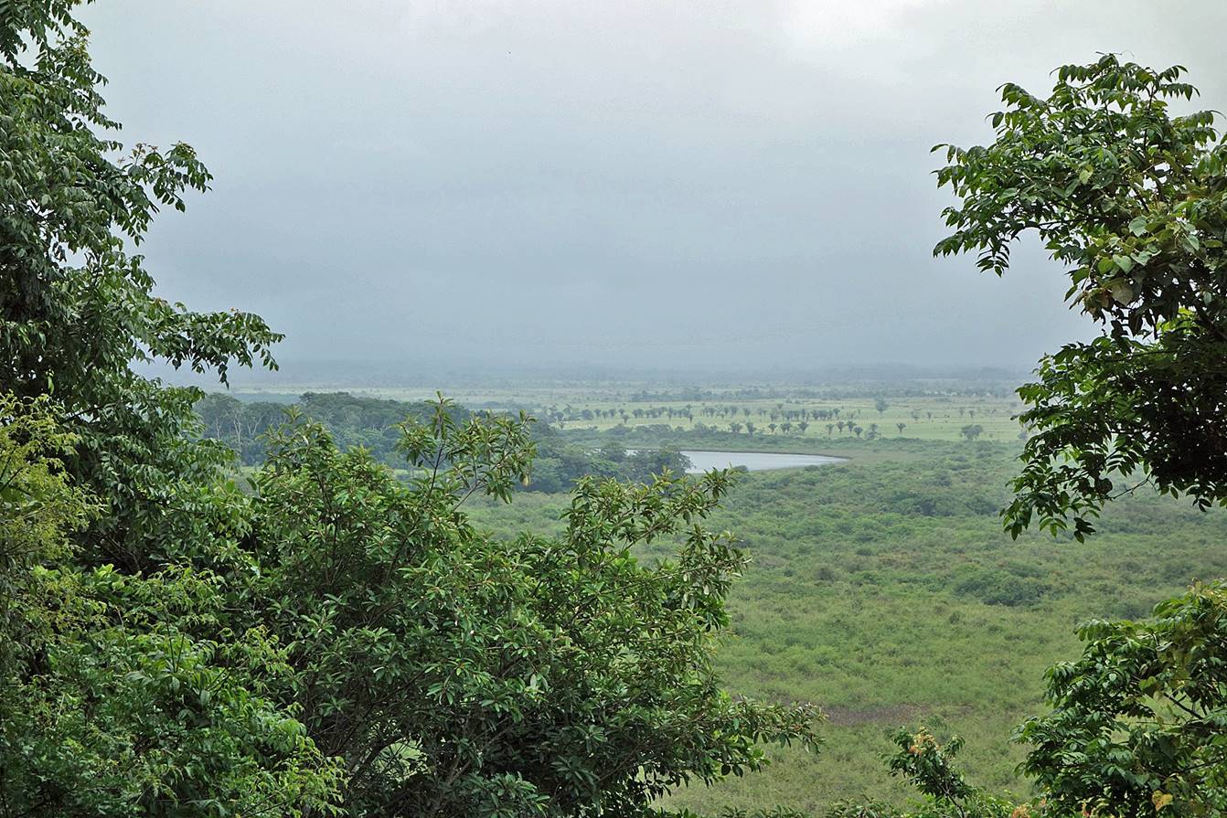
View from the hill toward the east over
swamplands and the south end of Laguna Petexbatun.
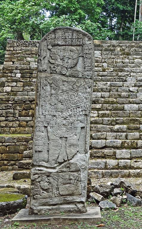
Royal family
residence.
|
|
|
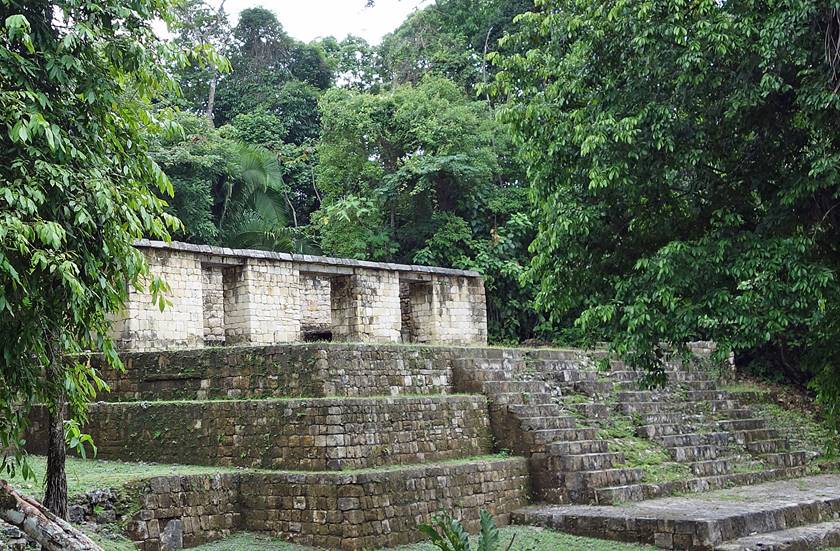
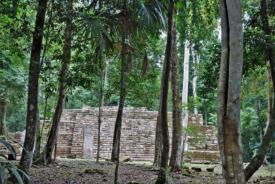
Casa Comunal.

Templo Dinastico.
|
|
|
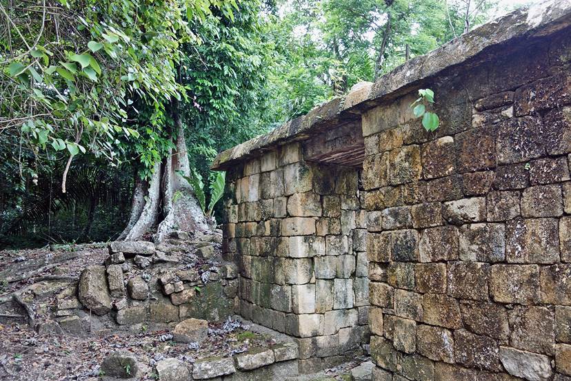
Templo Inconcluso.
|
|
|

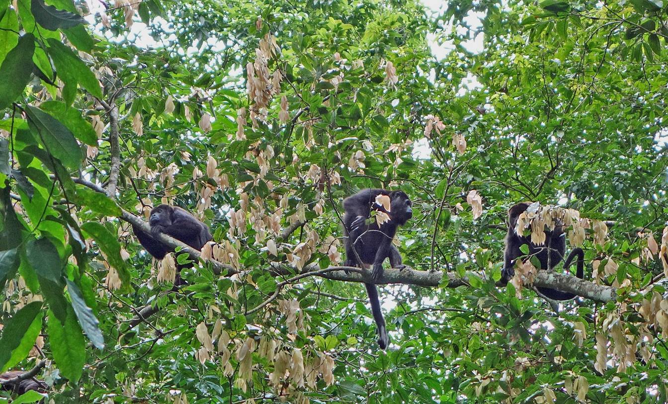
Monkeys
playing above the ruins.
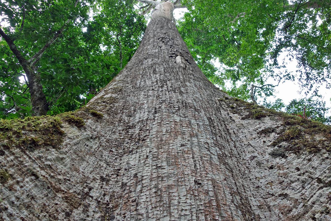
Large ceiba tree.
![]()