India (July-August 2016): Brandy Nala
(Ladakh) to Kibber (Spiti)
Days 1 to 3: Brandy Nala to Zara Chu
![]()
Return
to main India-2016 webpage
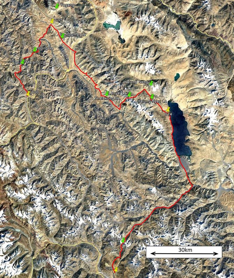
Left: map of this section. Right: map of
the entire trek. [Click here
(kmz file) to see the itinerary in Google Earth.]
|
|
|

Day 1:
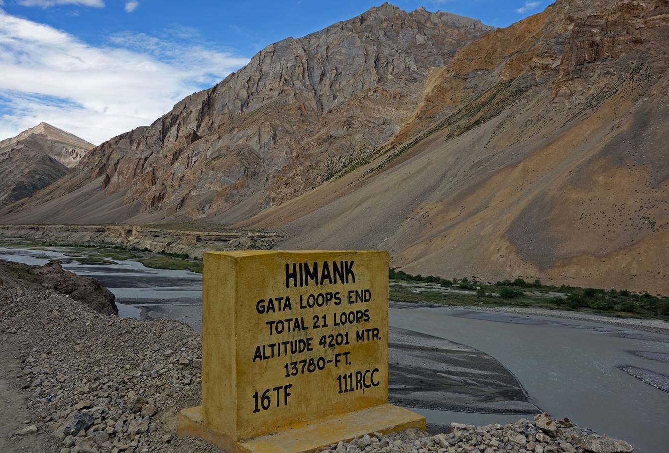
The trek starts at a place named Brandy Nala (roughly 4100m in elevation, camp C00) on the Tsarap
Chu (river), where the Leh-Manali road ends its
descent from Nakee La (pass, 4730m).
Marker on the side of the Leh-Manali road
indicating the end of the Gata Loops (21 hairpin road
bends) between Nakee La and Tsarap Chu.
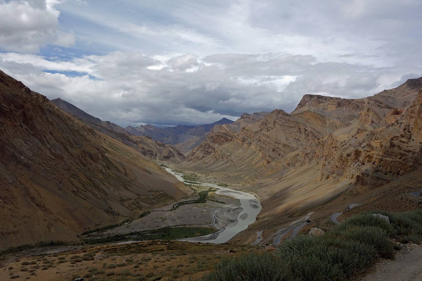
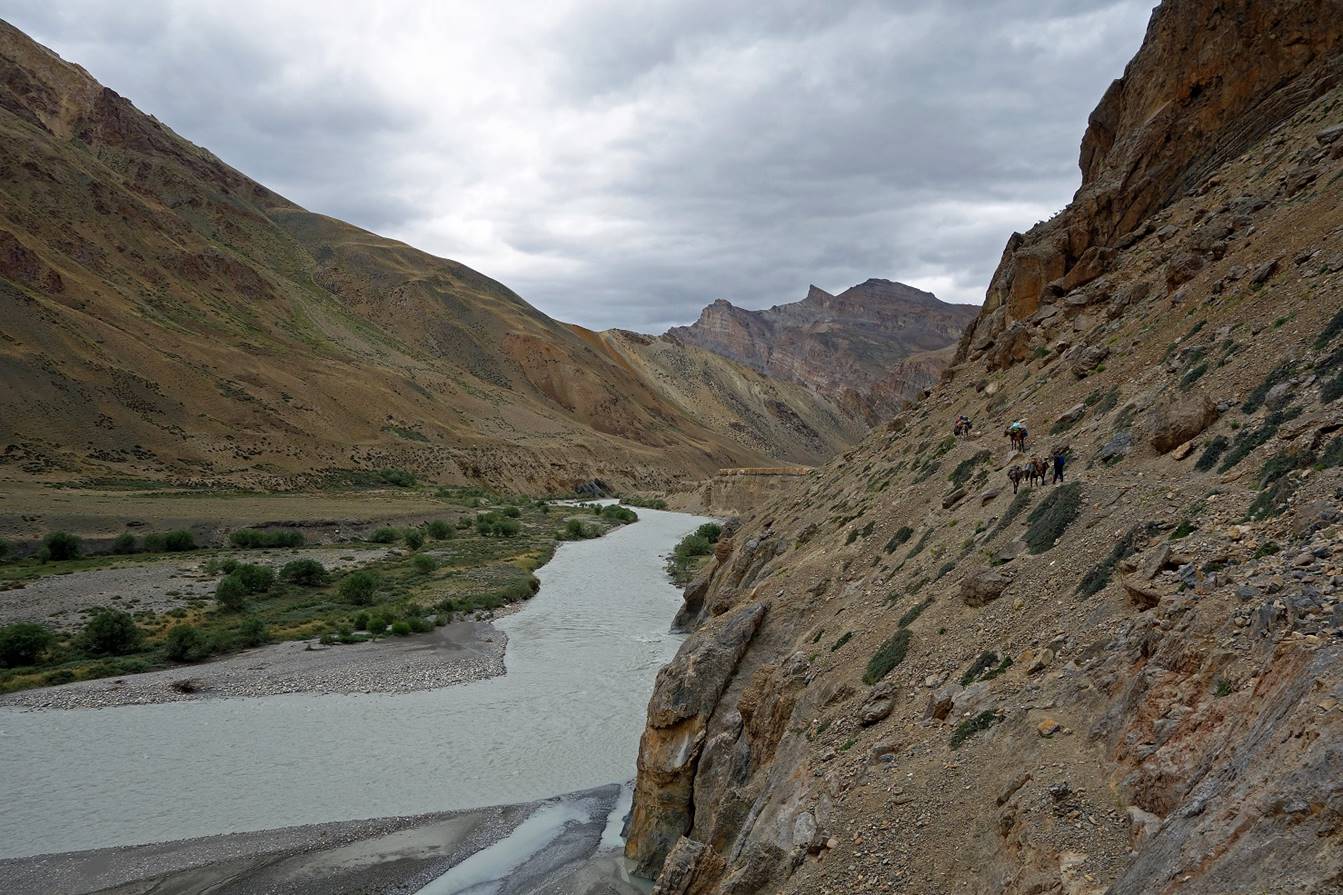
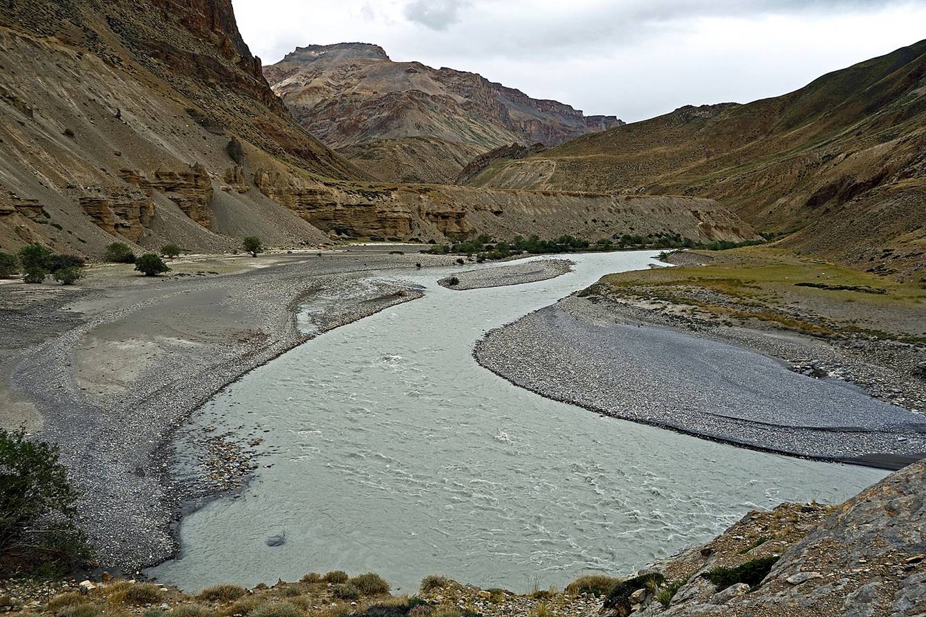
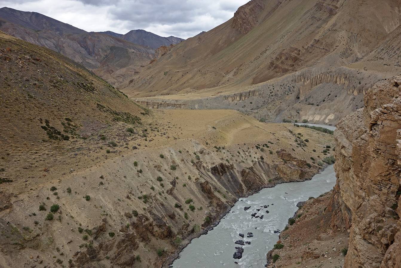
On this first day of trek we followed
Tsarap Chu toward the north (this is also the direction in which the river
flows).
View of the Tsarap Chu valley (toward
the north) from the Leh-Manali road.
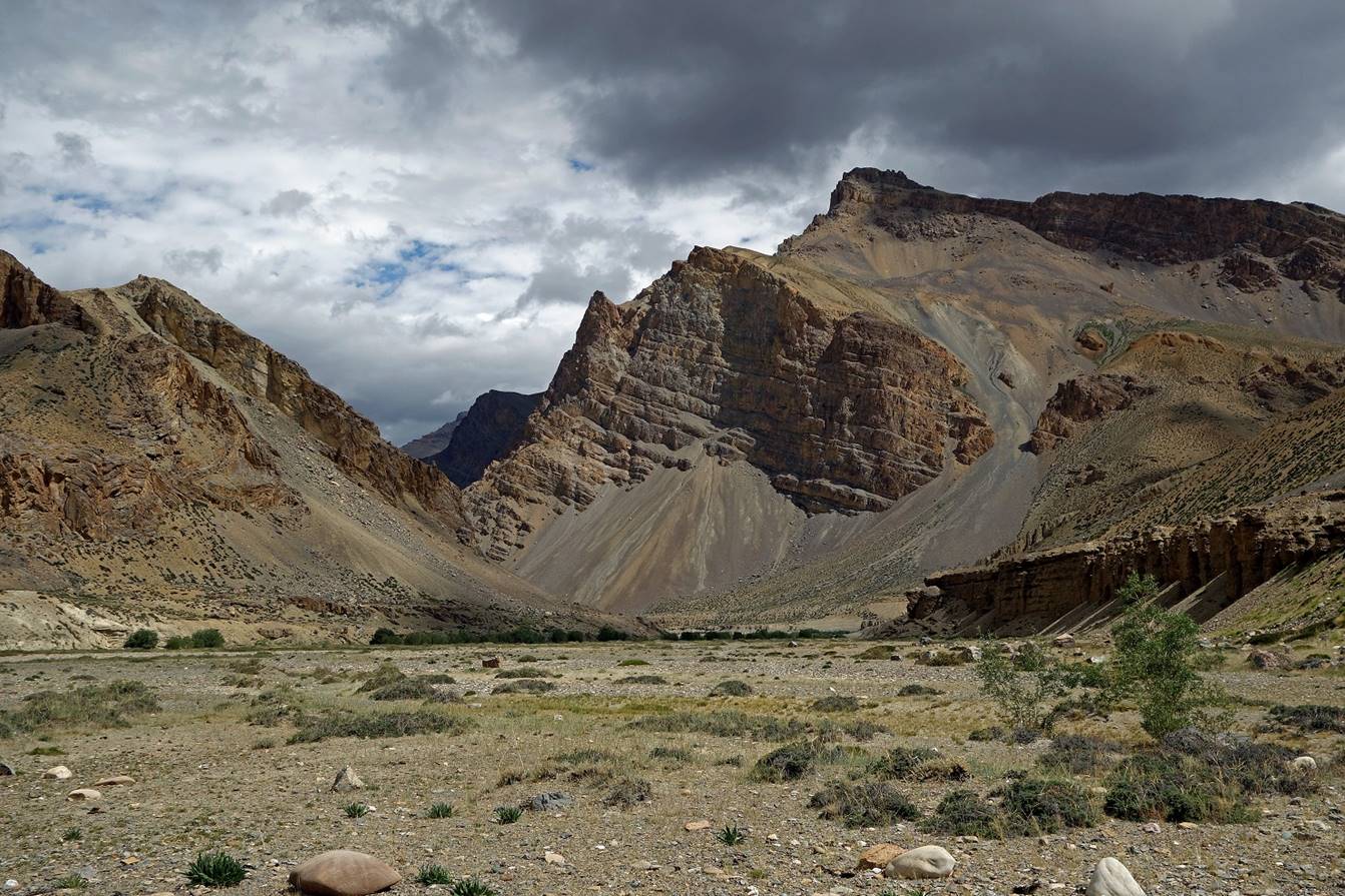
Along Tsarap Chu.
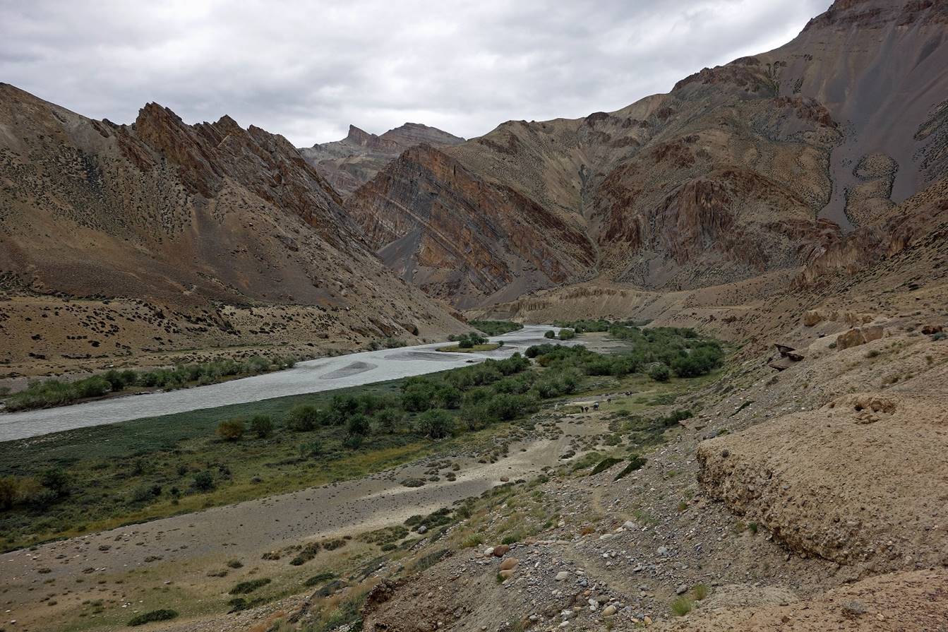
We set Camp C01 where Tsarap Chu bends
westward (see map above).

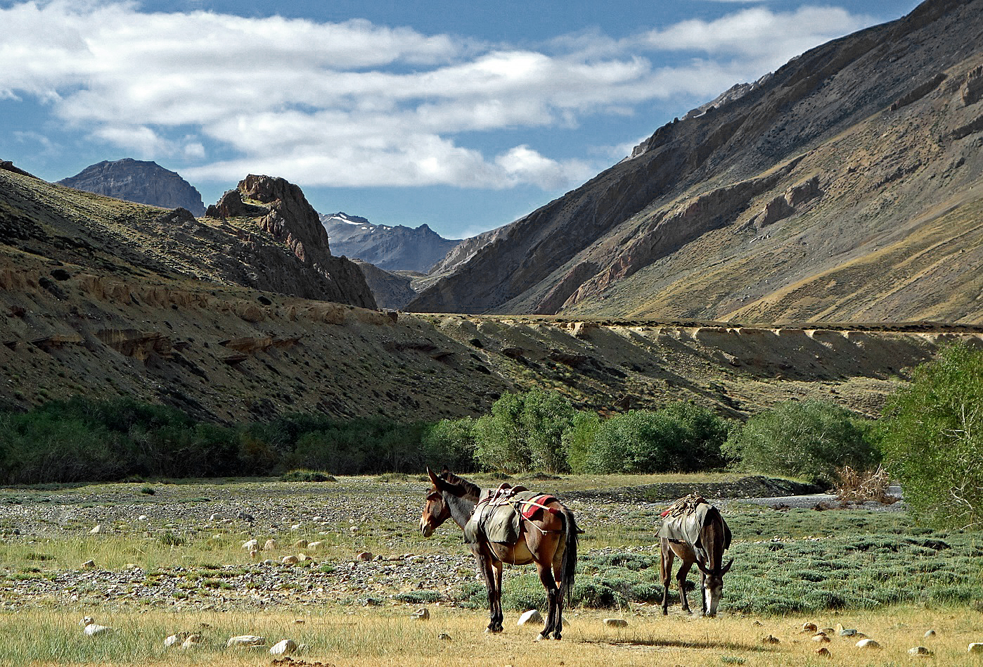
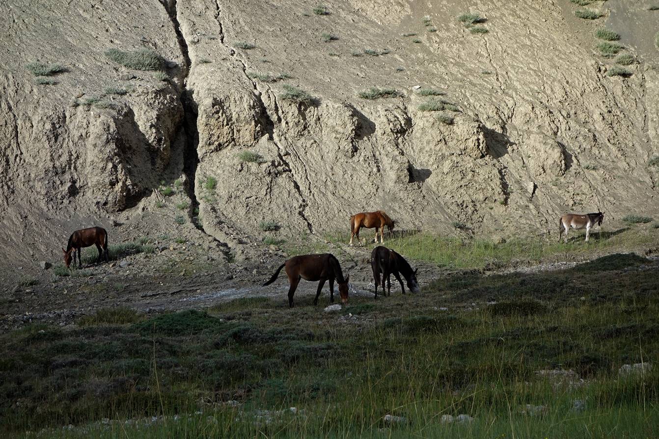
Two of our horses at C01.
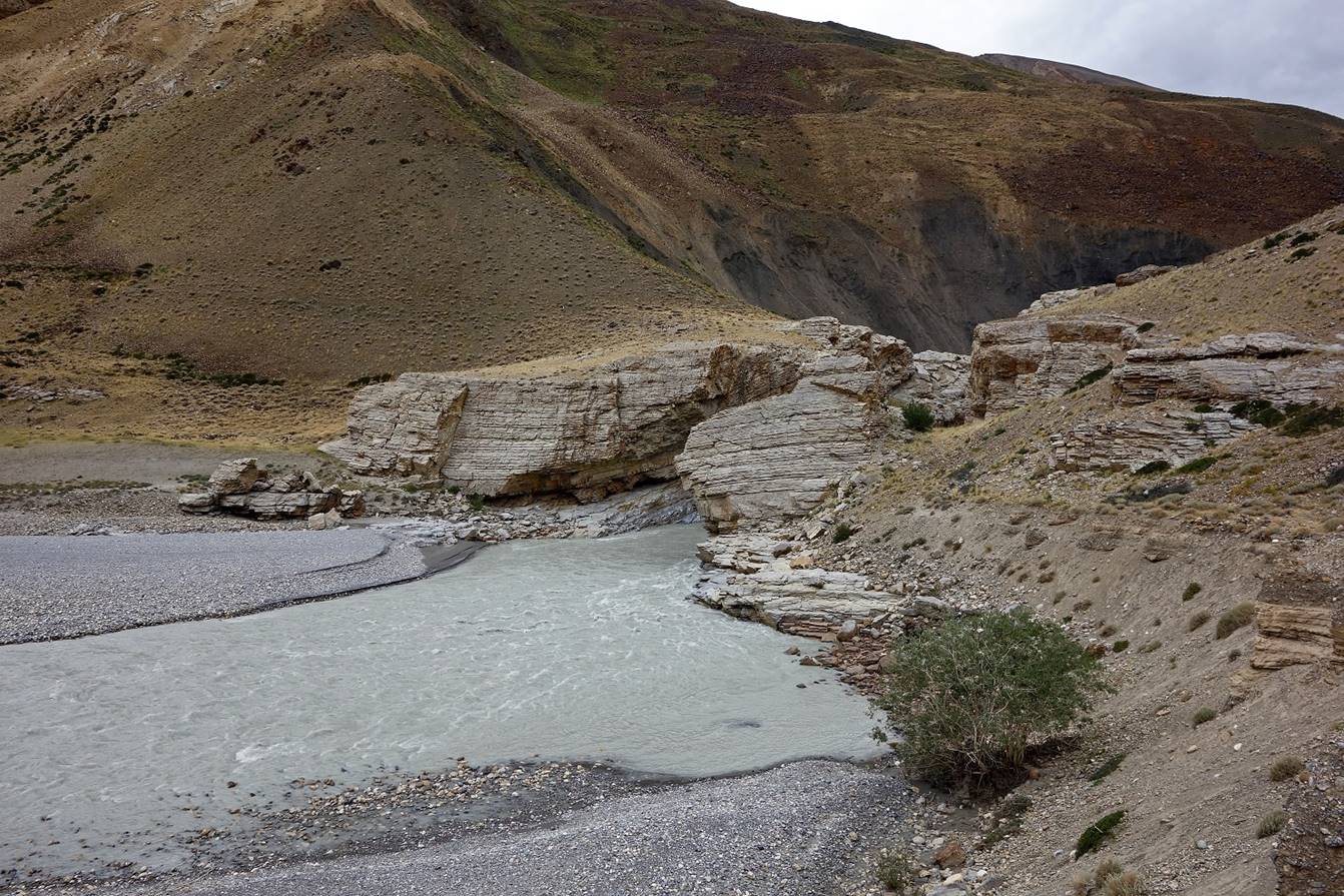
Since we reached C01 early in the day,
in the afternoon I went further along Tsarap Chu and returned back to the camp.
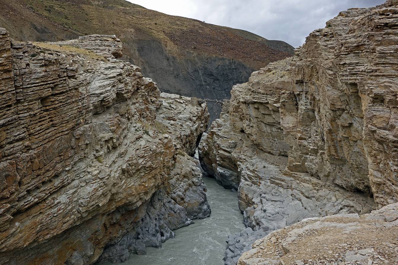
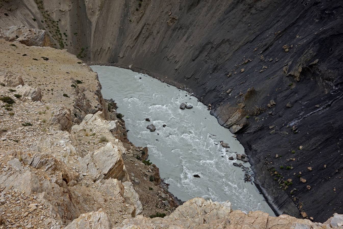
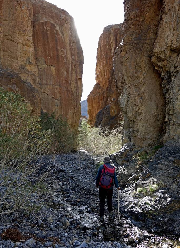
Tsarap Chu is usually quite wide.
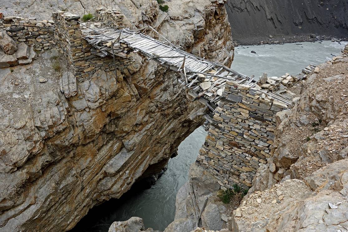
However, about one hour beyond C01 it narrows down between two large rock
formations. There, an amazing bridge has been built.

|
|
|

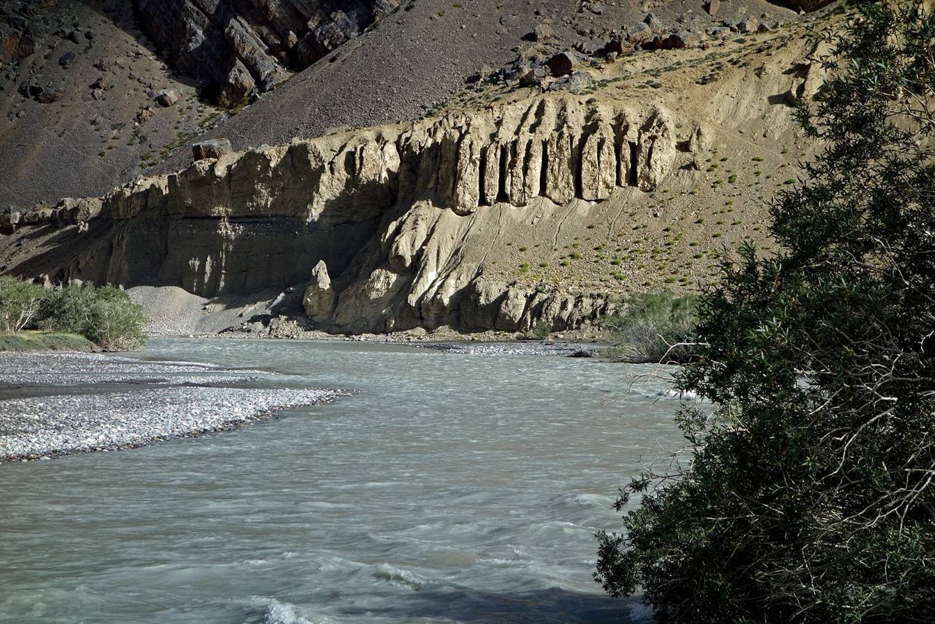
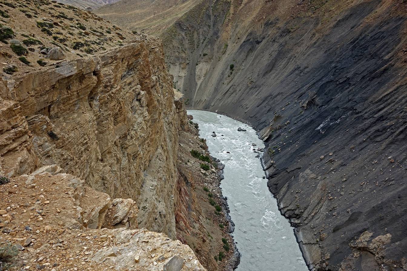
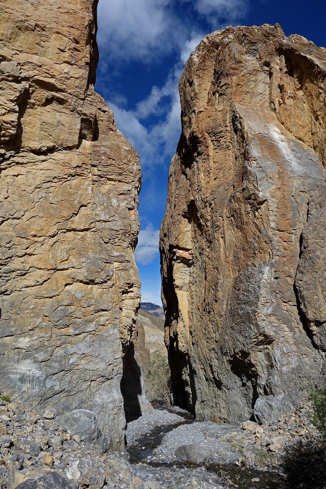
Tsarap Chu beyond the bridge.
Day 2:
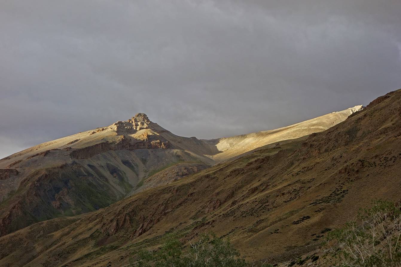
Morning light on a ridge above C01.
On Day 2 we
started our ascent toward Marang La. We left the Tsarap
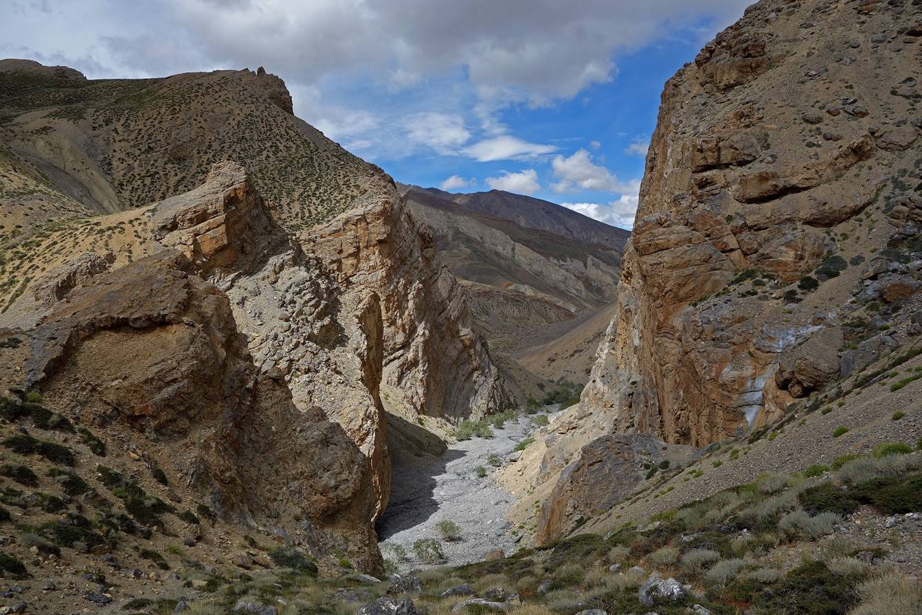
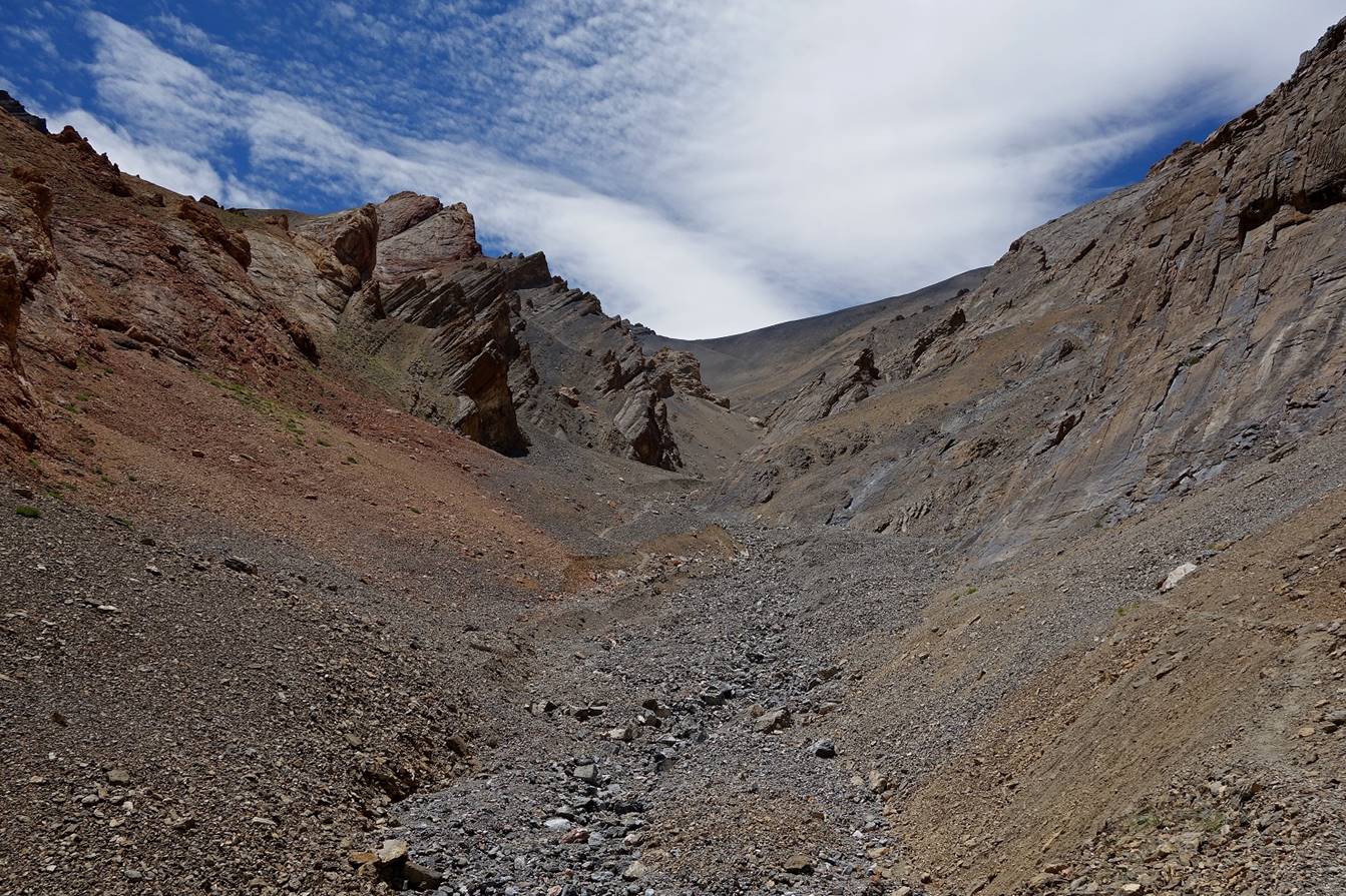
Chu valley toward the east through a canyon that was initially quite narrow.
|
|
|
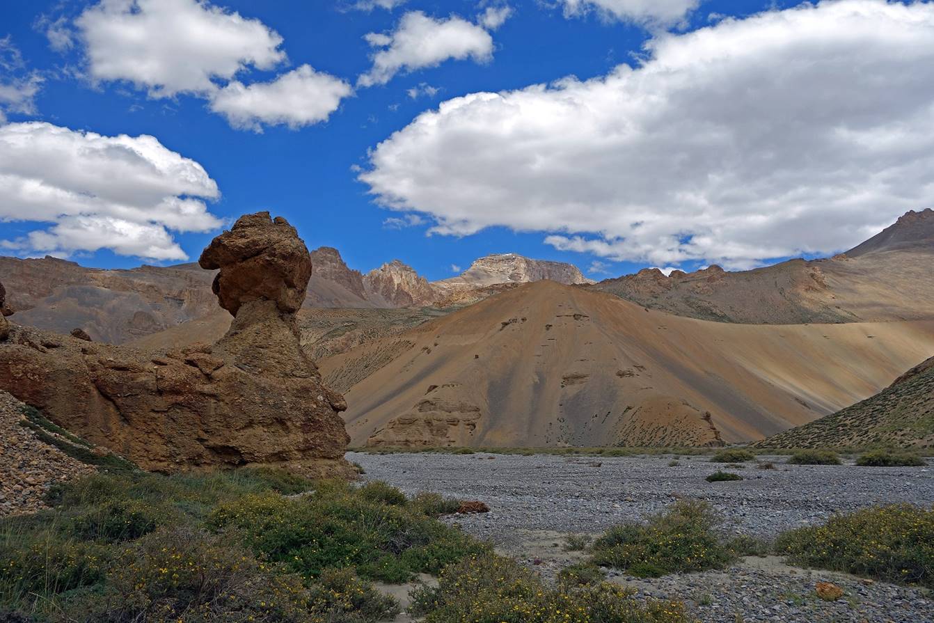
The canyon widened further up.
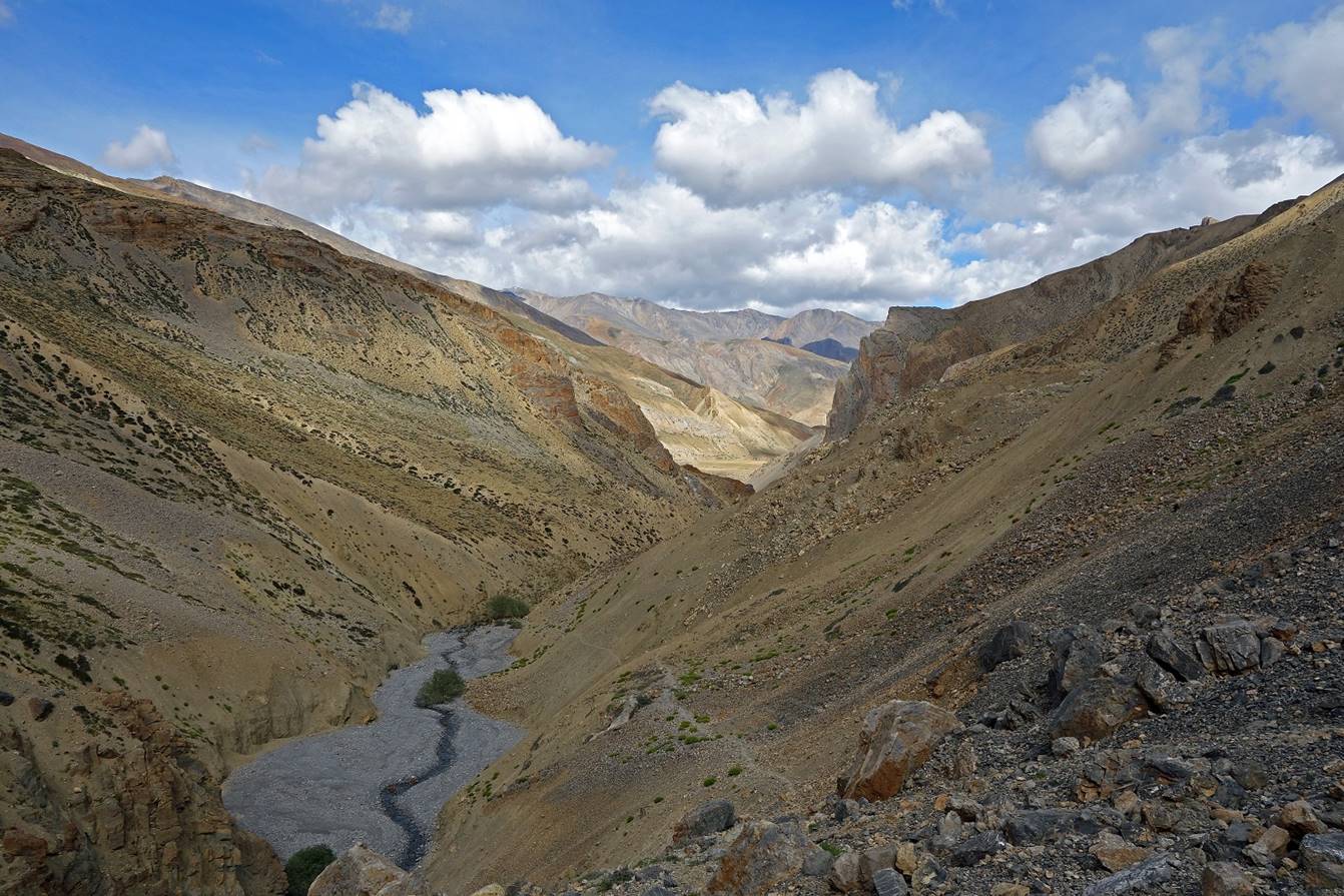
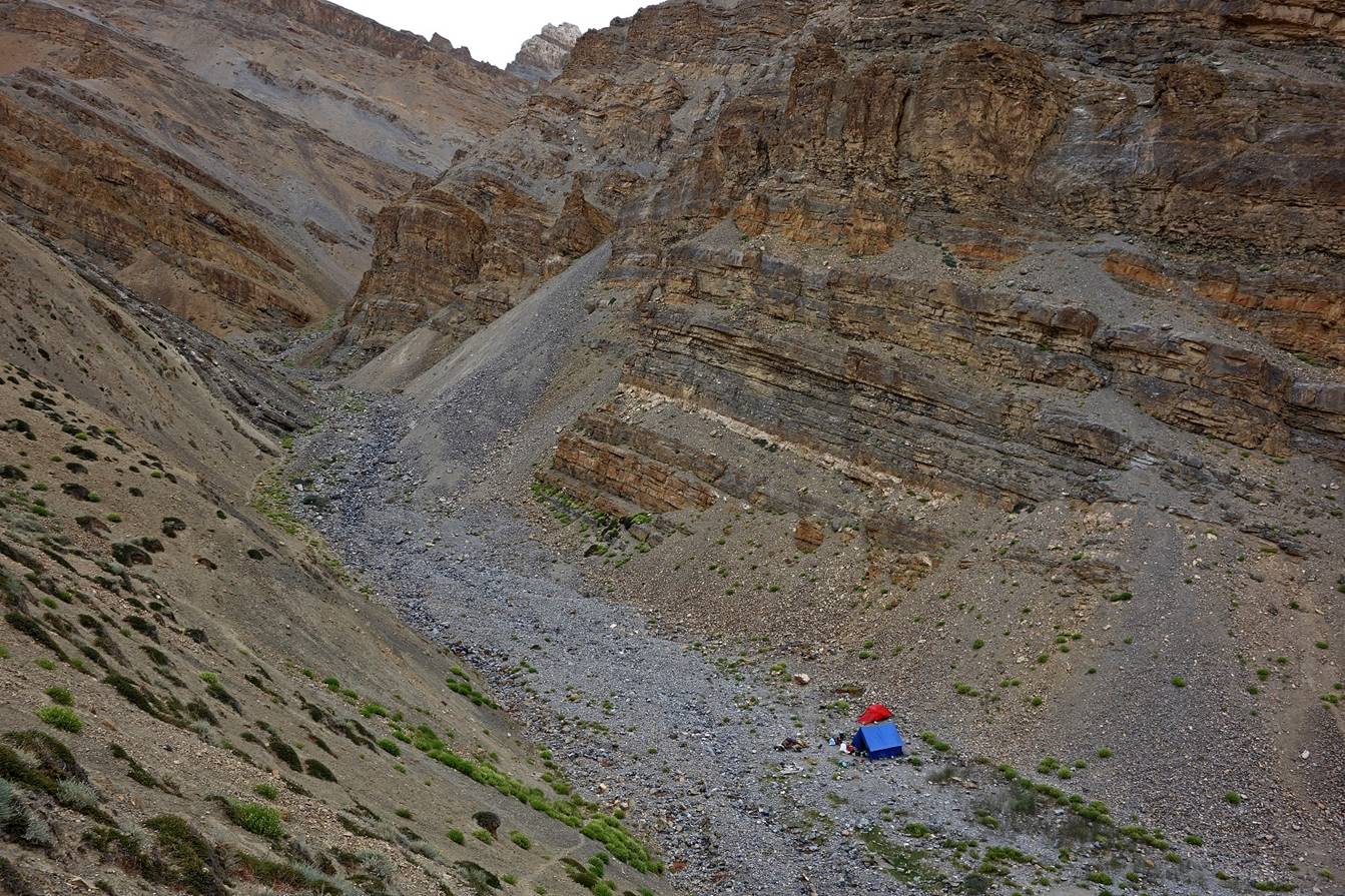
We established Camp C02 in the canyon at
about 4600m, near a small spring.
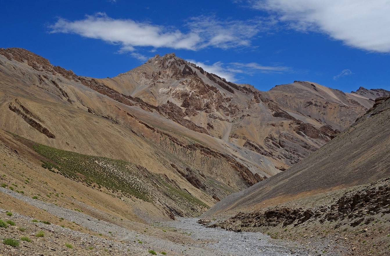
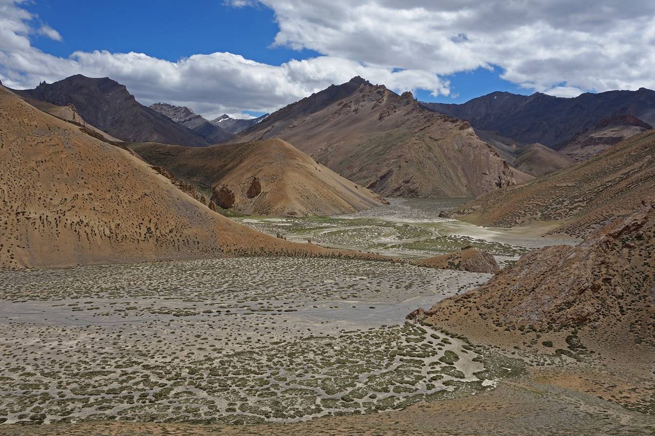
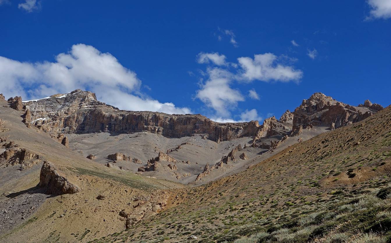
Views from a ridge above C02 over:
- a section of
the canyon that we had just hiked...
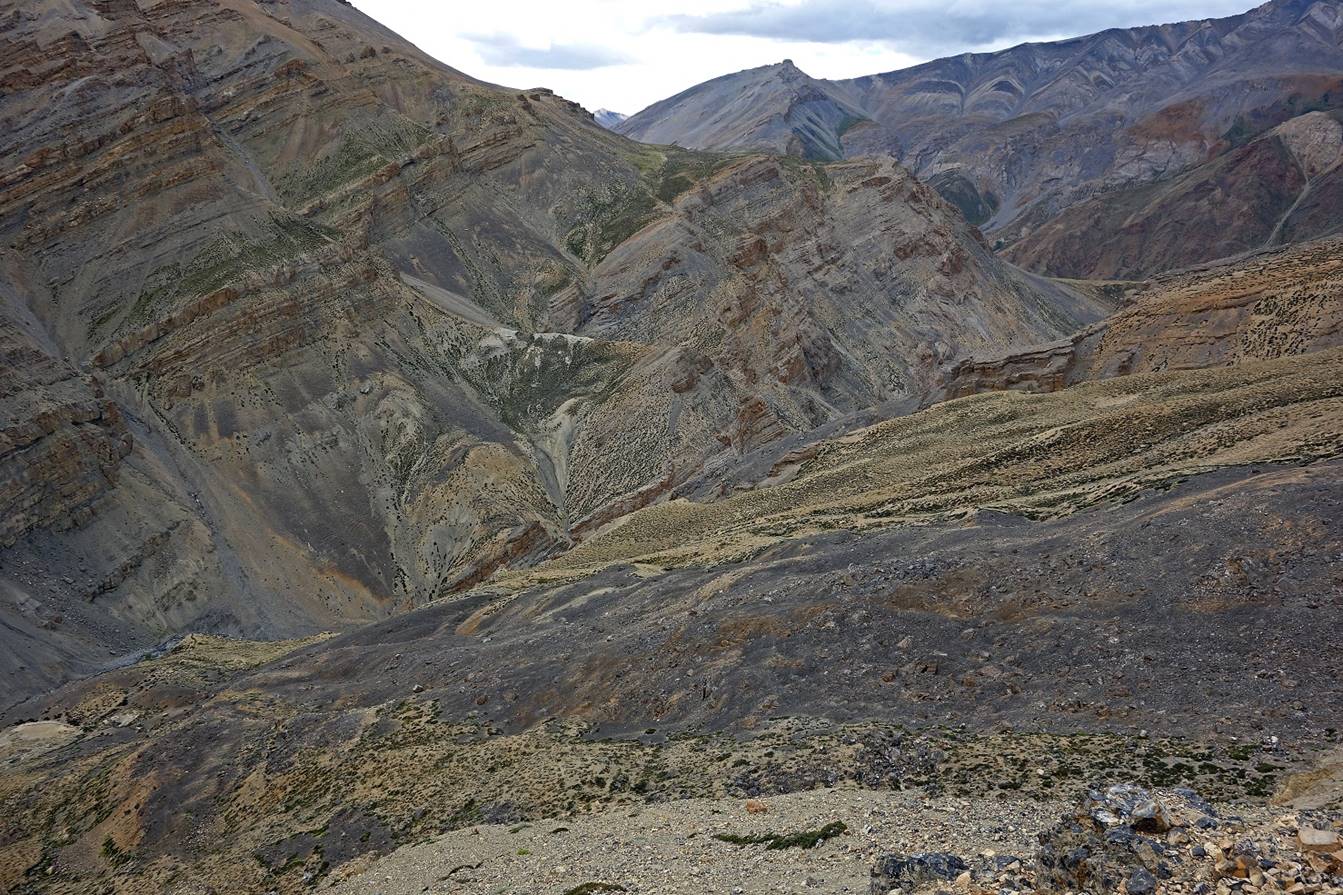
- the canyon beyond
C02 toward Marang La (this pass is located on the
right of the picture on the left of the rock cliff)...
- and cliffs
above our camp.

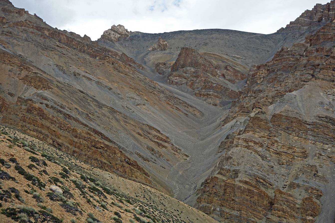
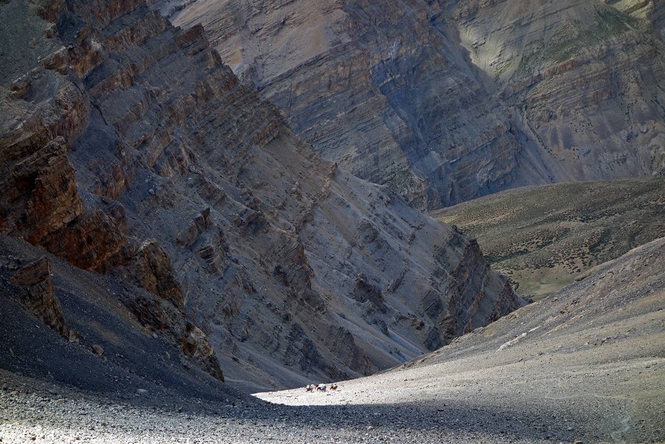
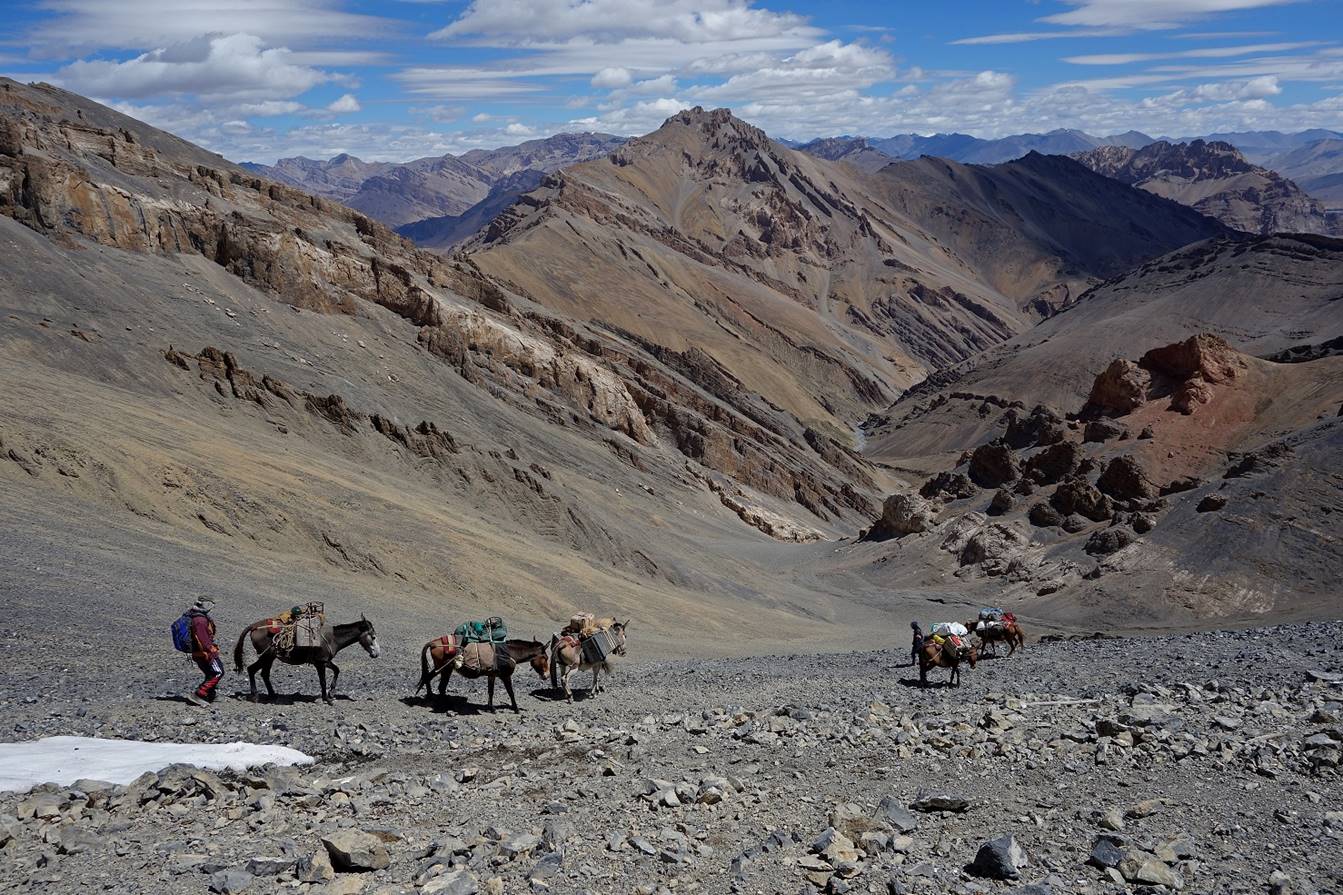
Day 3:
This was a relatively long day, during
which we crossed Marang La (5300m) and Bang La
(4670m) before reaching the valley of Zara Chu. During that day we enjoyed
truly spectacular landscapes.
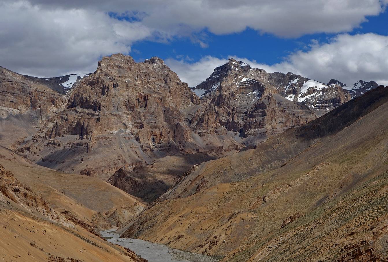
Views during the ascent of Marang La.
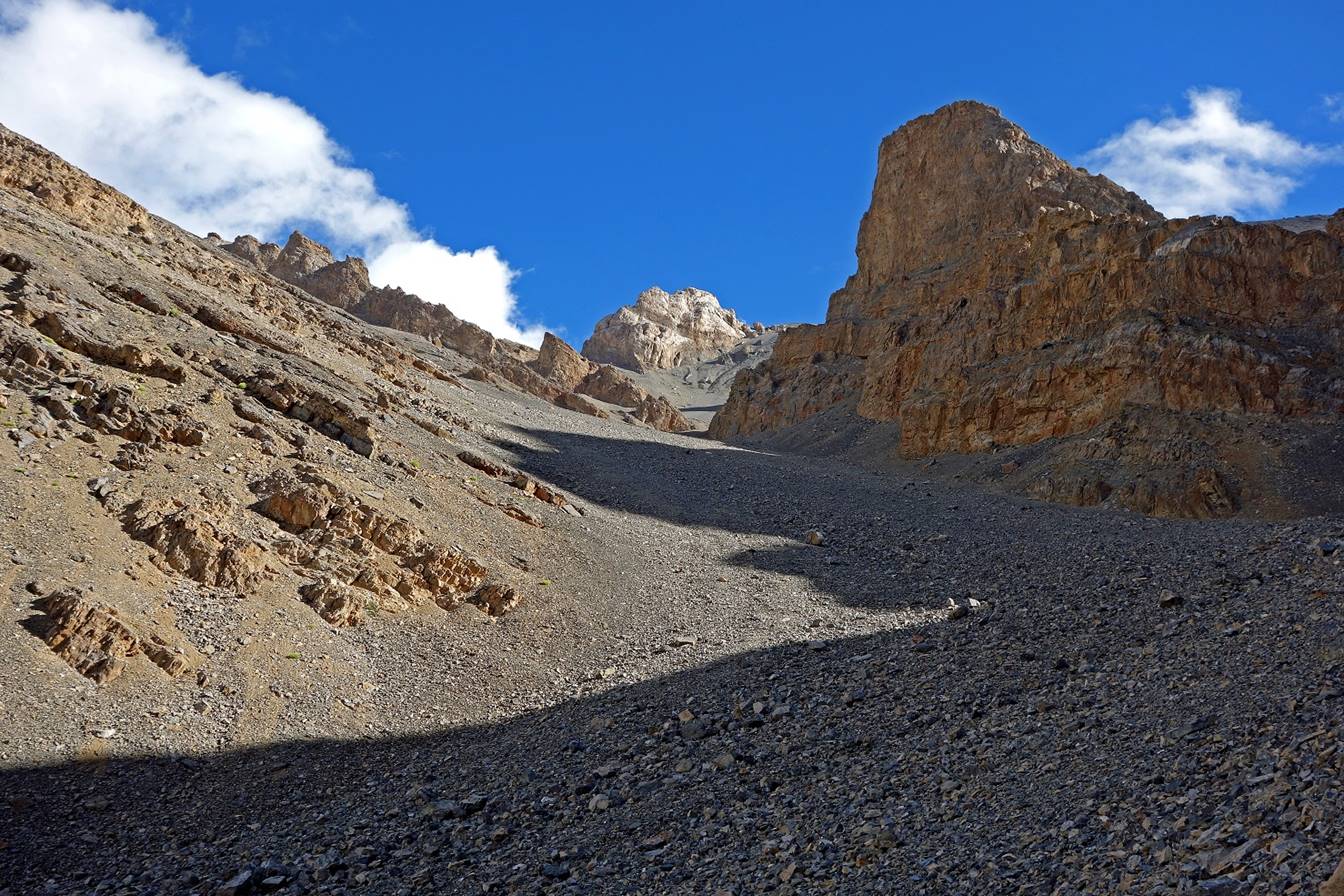

At Marang La
(5300m).
Views from Marang
La toward the west (ascent side), with the snowy Zanskar
range in the background...

...and toward the east (descent side).
Beginning of the descent from Marang La.

Looking back at the pass.
Further down.

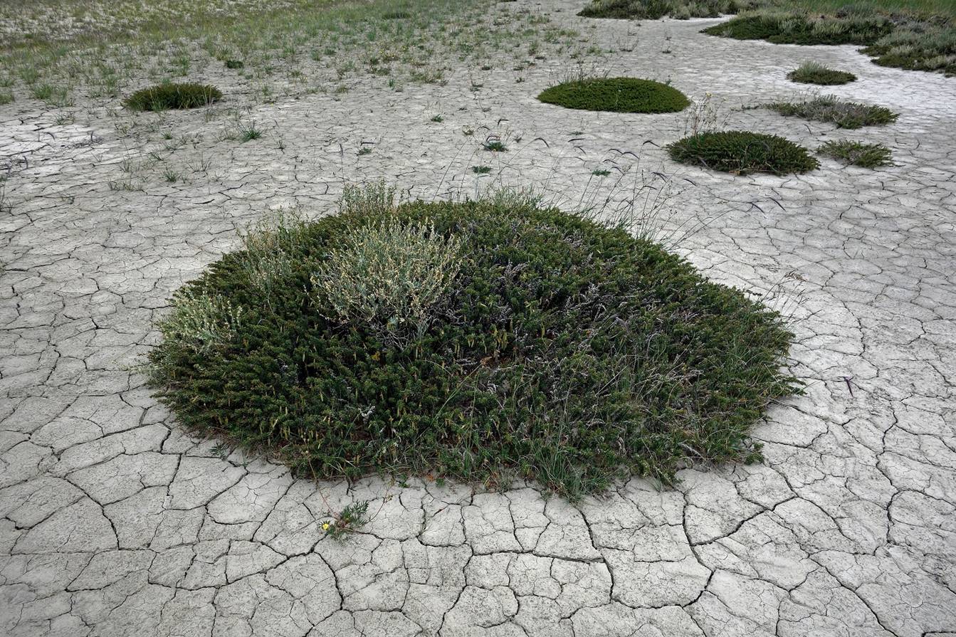
We then crossed a flat area (called Tozak) with some unusual vegetation, before ascending Bang
La.
Bang La (4670m) is more a shoulder than
a real pass. The shoulder and the path to Ban La are visible in the
center-right of the picture below.
View over the flat area
that we just crossed from the trail ascending Bang La.
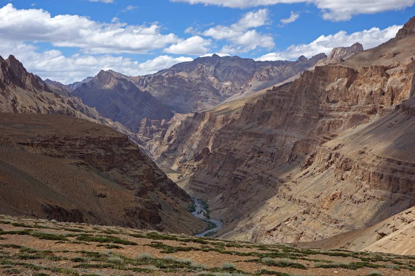
Side canyon (view toward the east) seen
during the ascent.
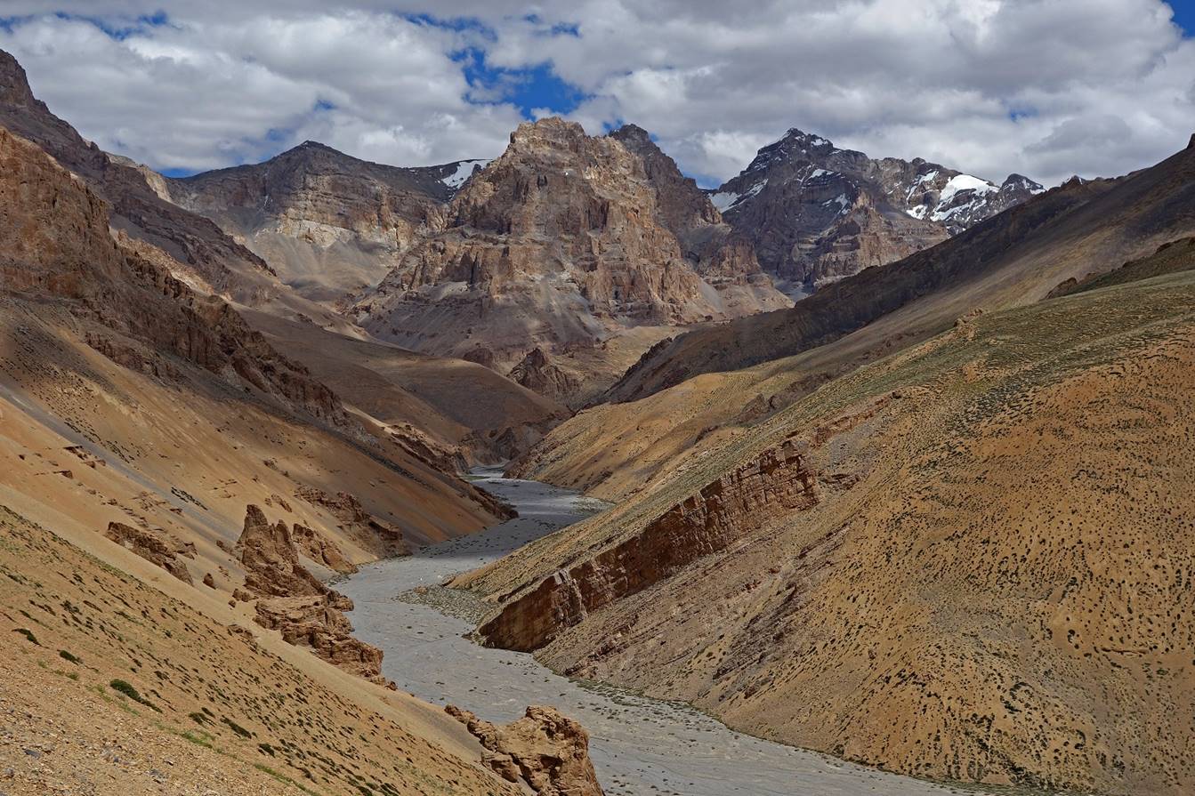
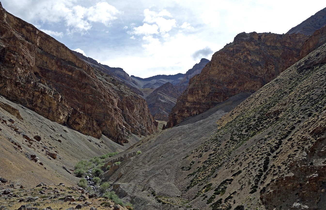
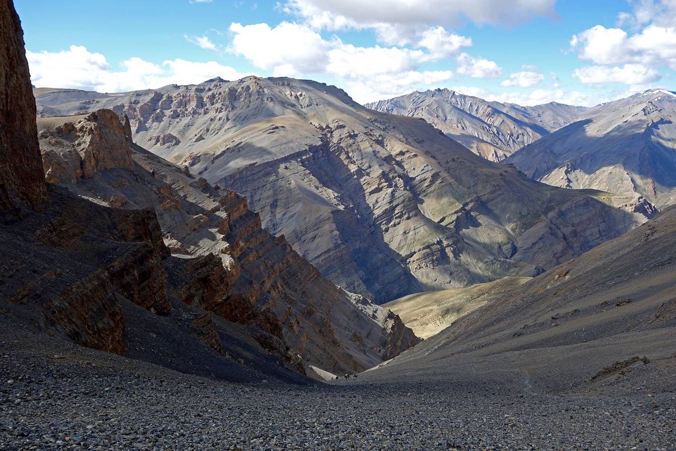
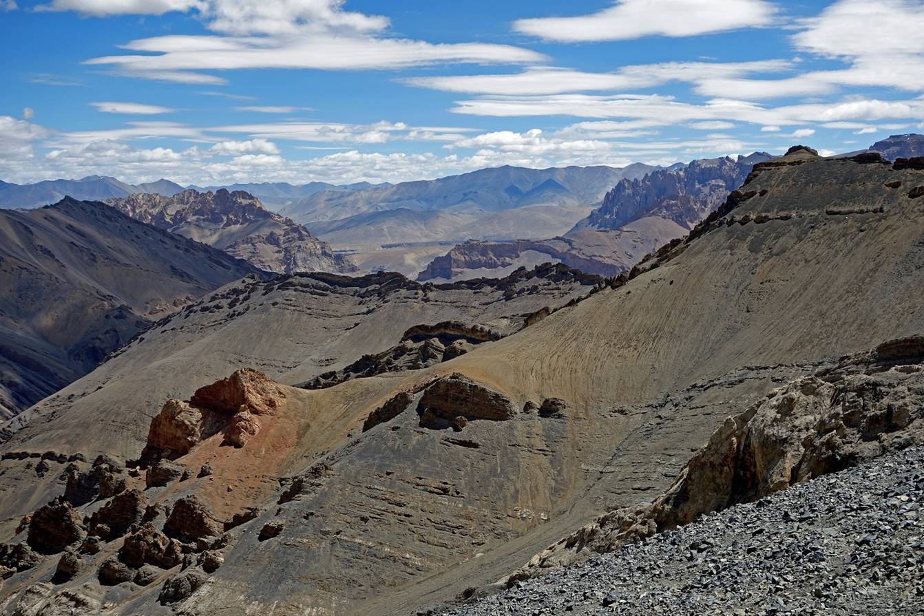
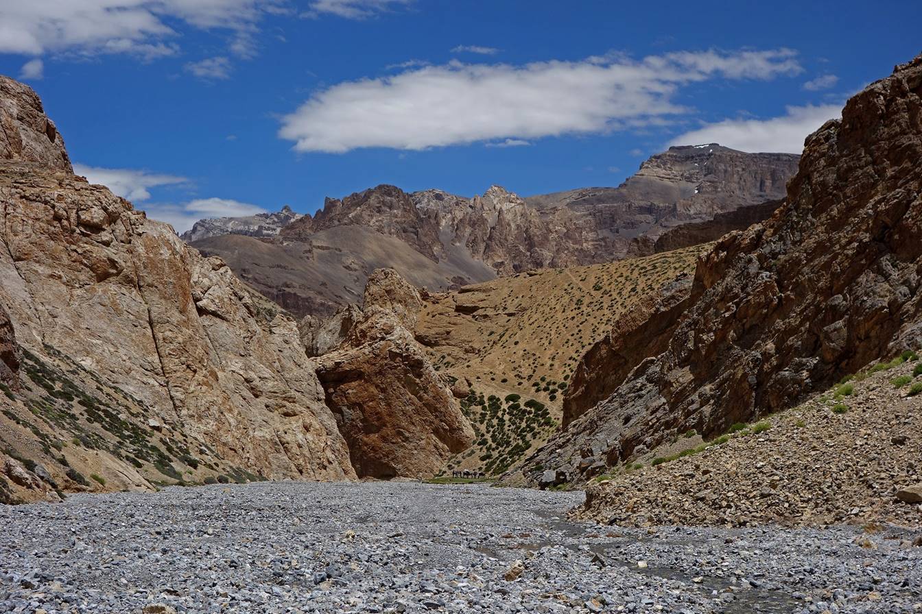
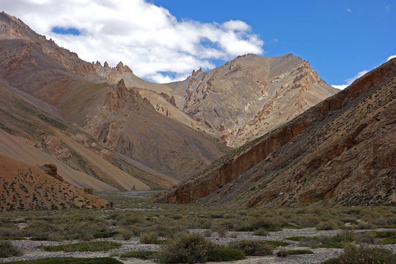
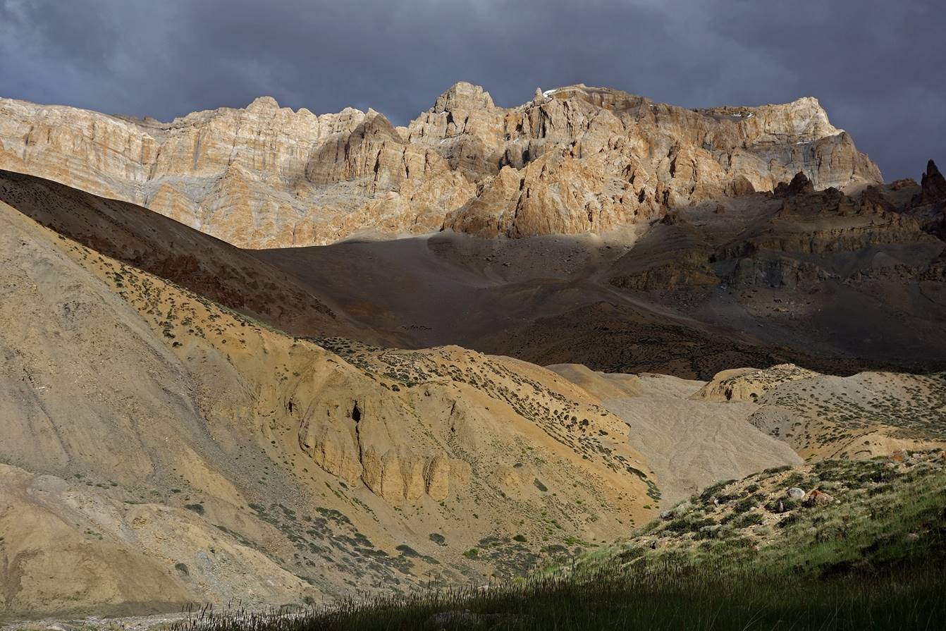
Views of the Zara Chu canyon after
crossing Bang La.
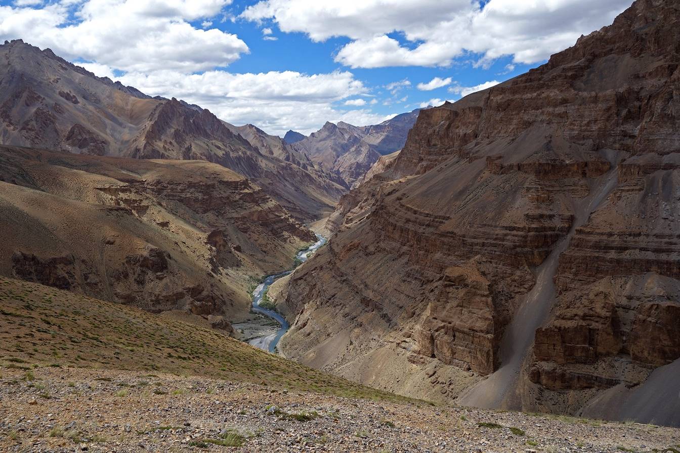

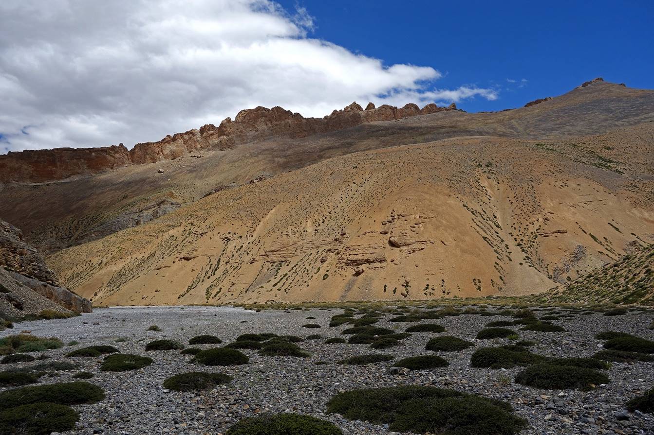
The cone-shaped 5300m peak around which
Zara Chu bends (see map map at the top of this page).
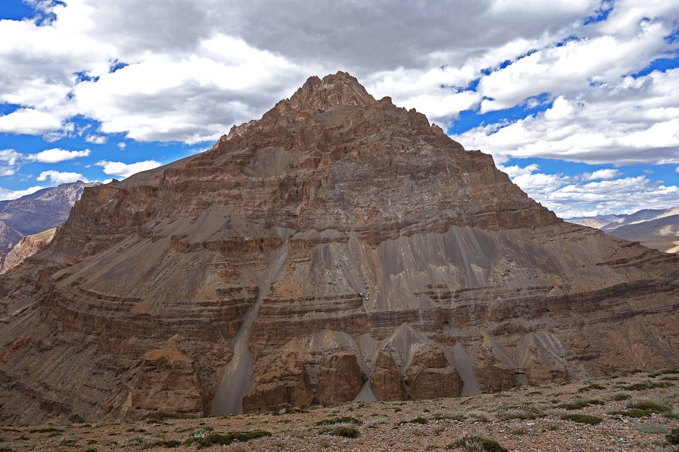
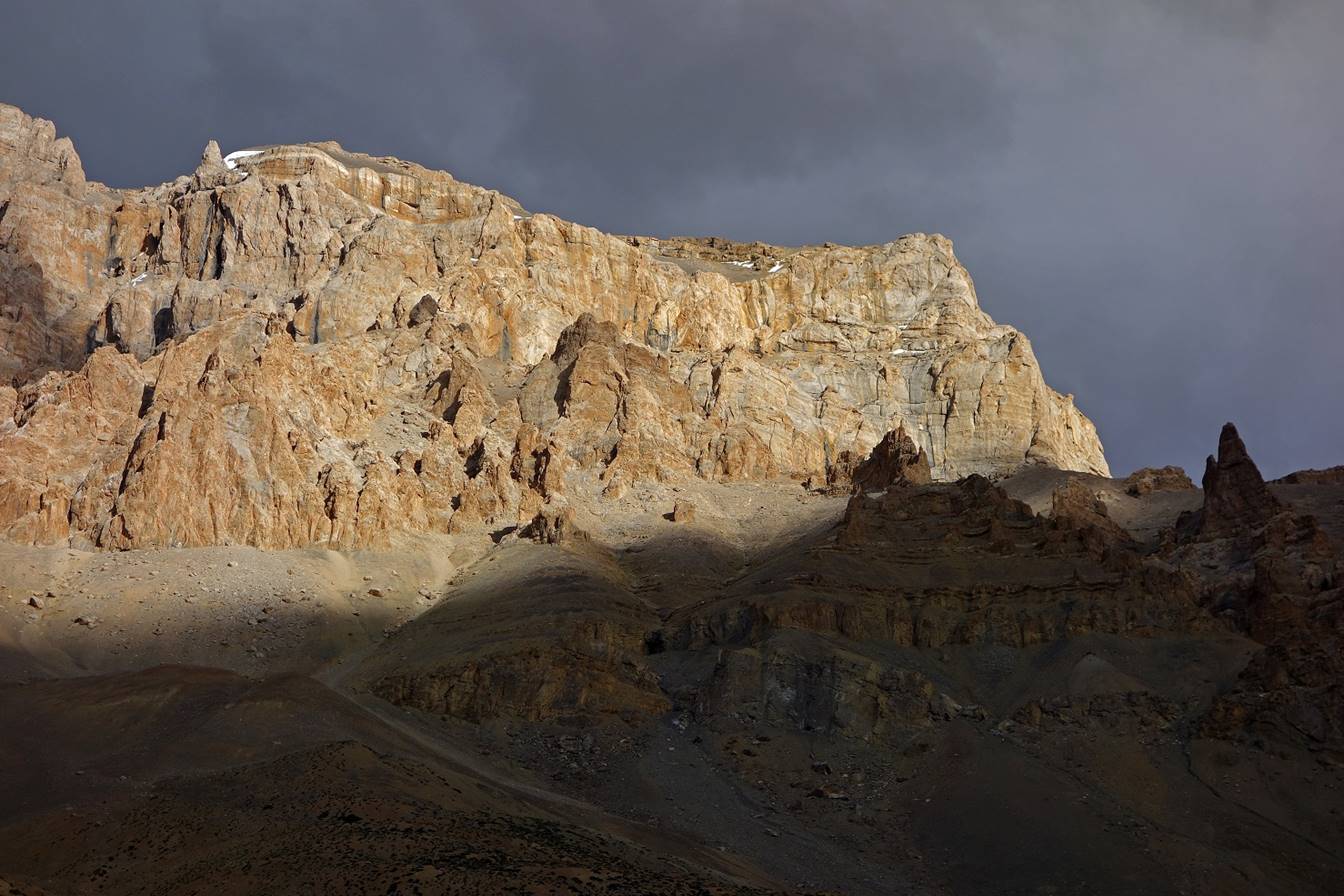
Sunlight on the lower part of this peak.

Zara Chu at the end of the bend.

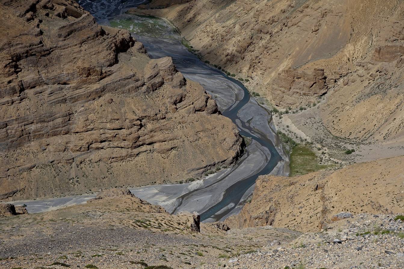
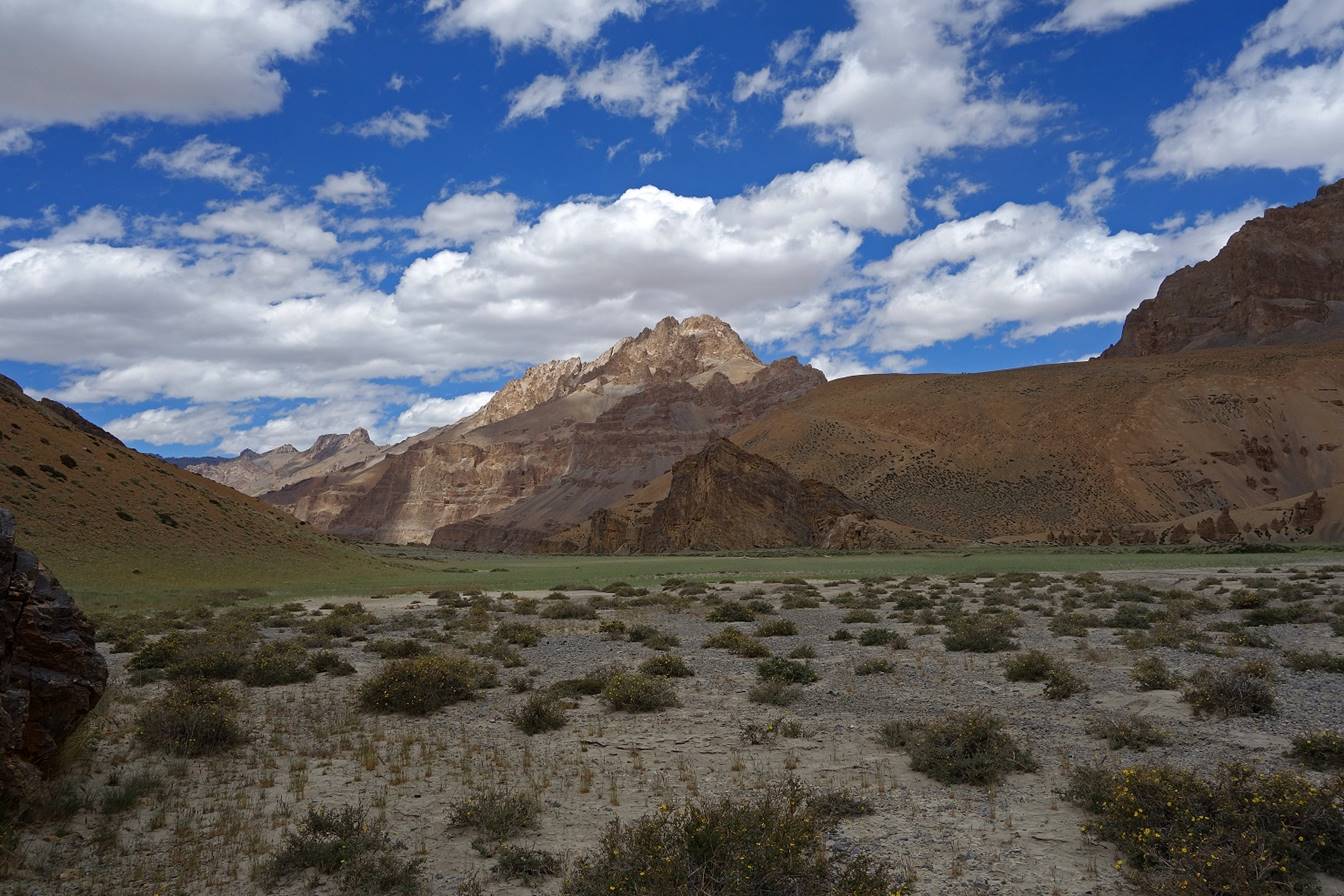
Cliffs above Zara Chu.
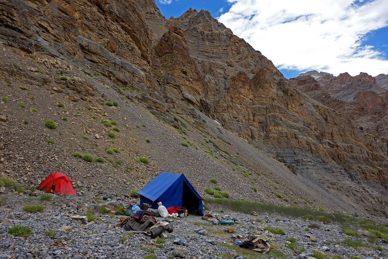
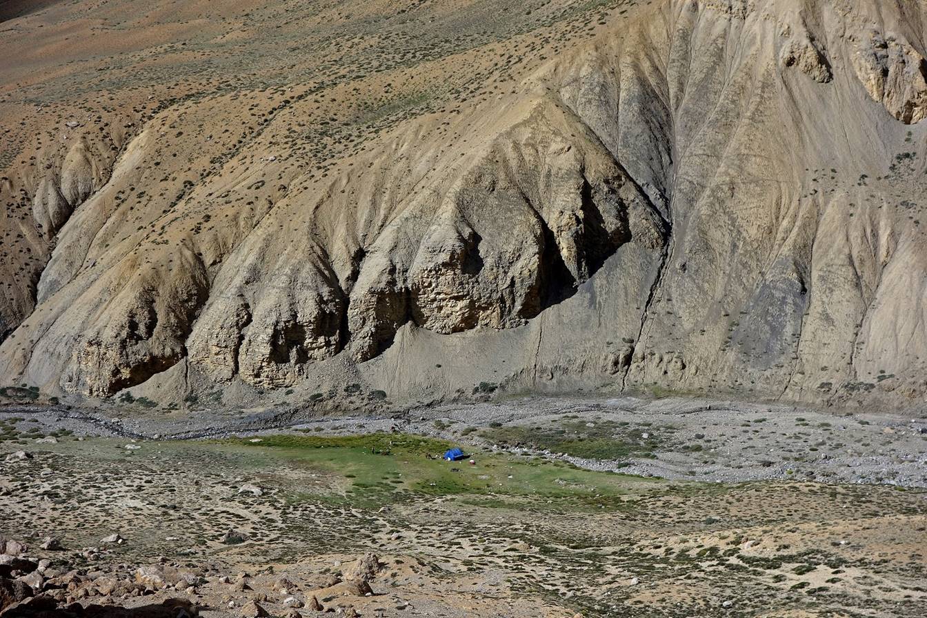
Our Camp C03 in a grassy area along a small
tributary of Zara Chu.
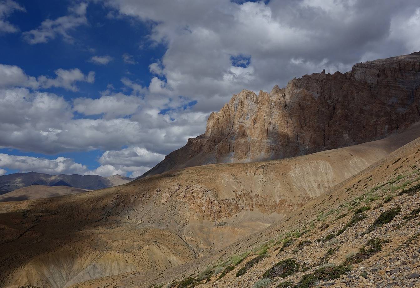
Views of the cliffs above our camp in
the late afternoon.

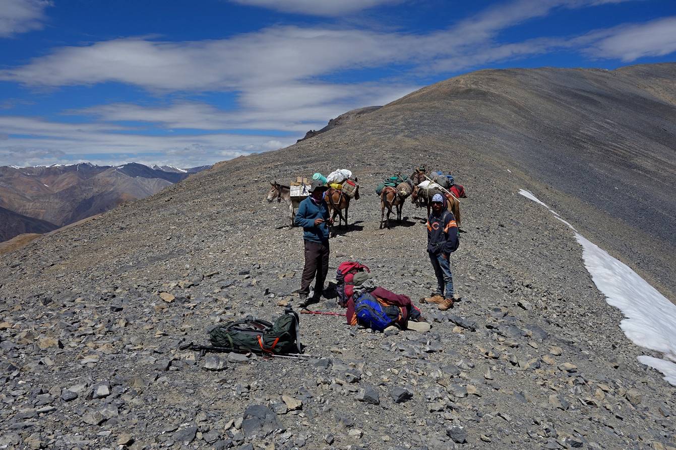
Our horses at the camp.
![]()