India (July-August 2016): Brandy Nala (Ladakh) to Kibber (Spiti)
Days 4 to 8: Zara Chu to Sumkhar
Togpo
![]()
Return
to main India-2016 webpage
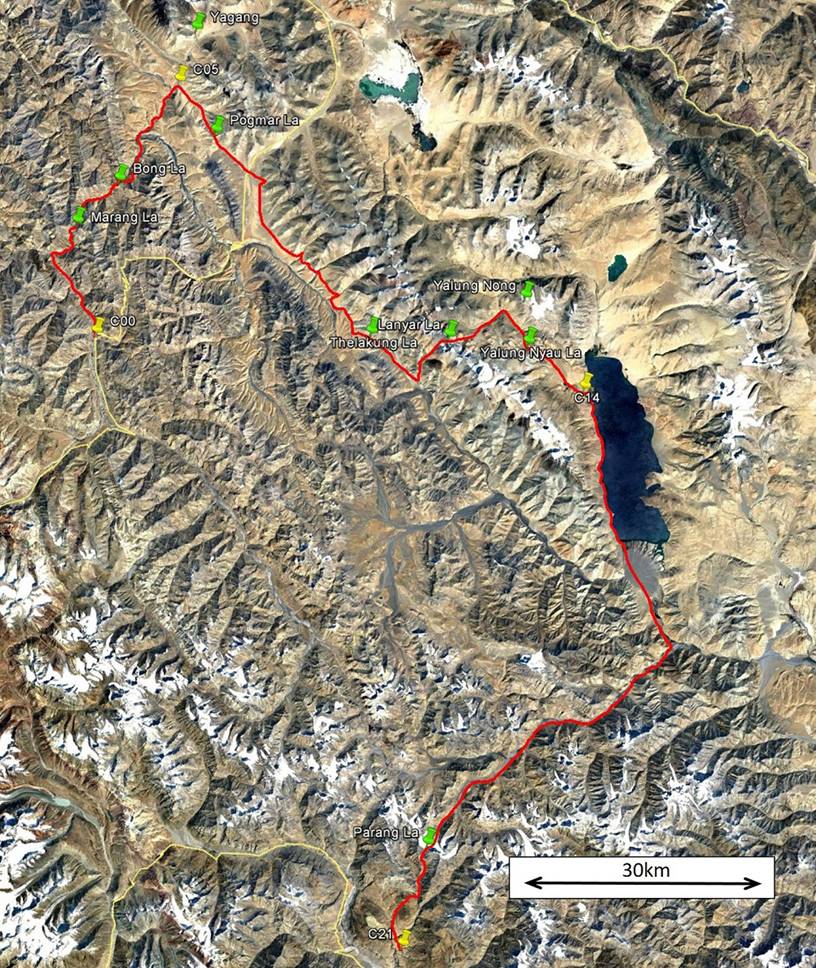
Left: map of this section. Right: map of
the entire trek. [Click here
(kmz file) to see the itinerary in Google Earth.]
|
|
|

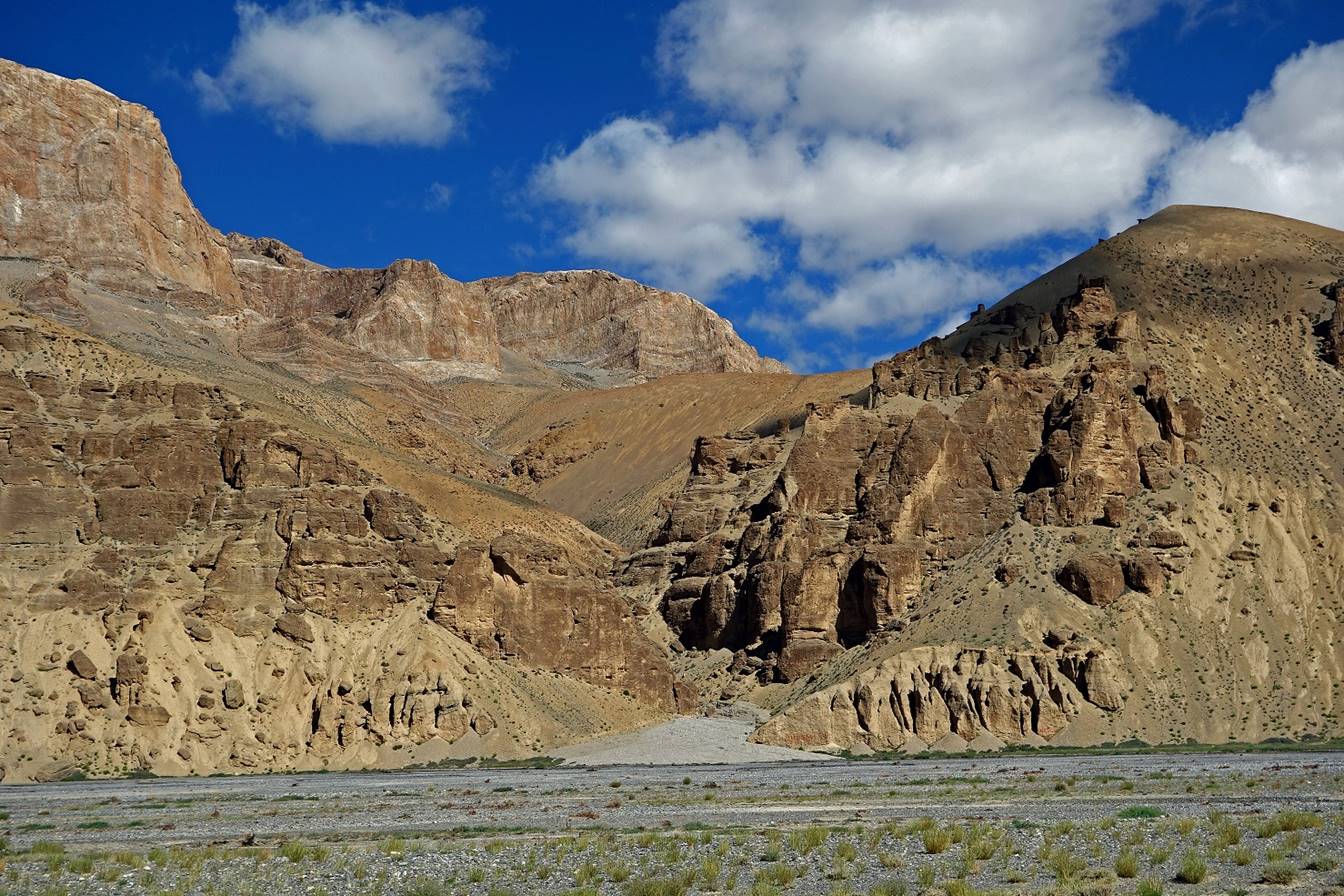
Day 4:
On that day we hiked up the Zara Chu
valley (toward the north).
Views along the valley.

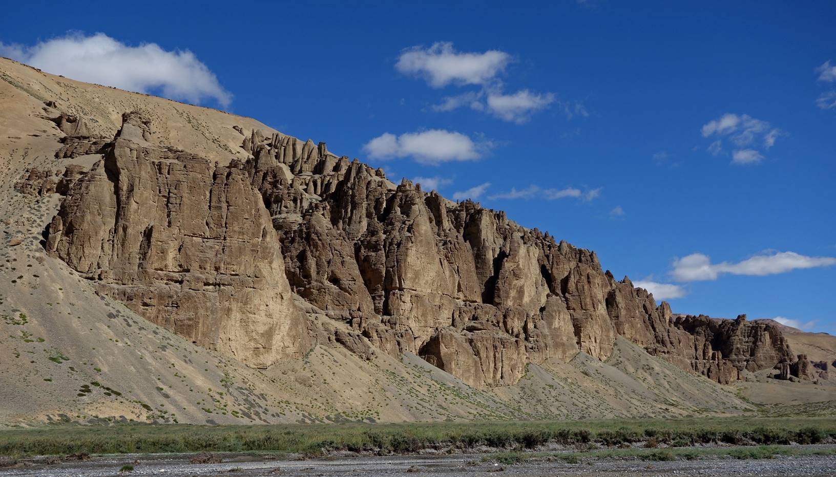
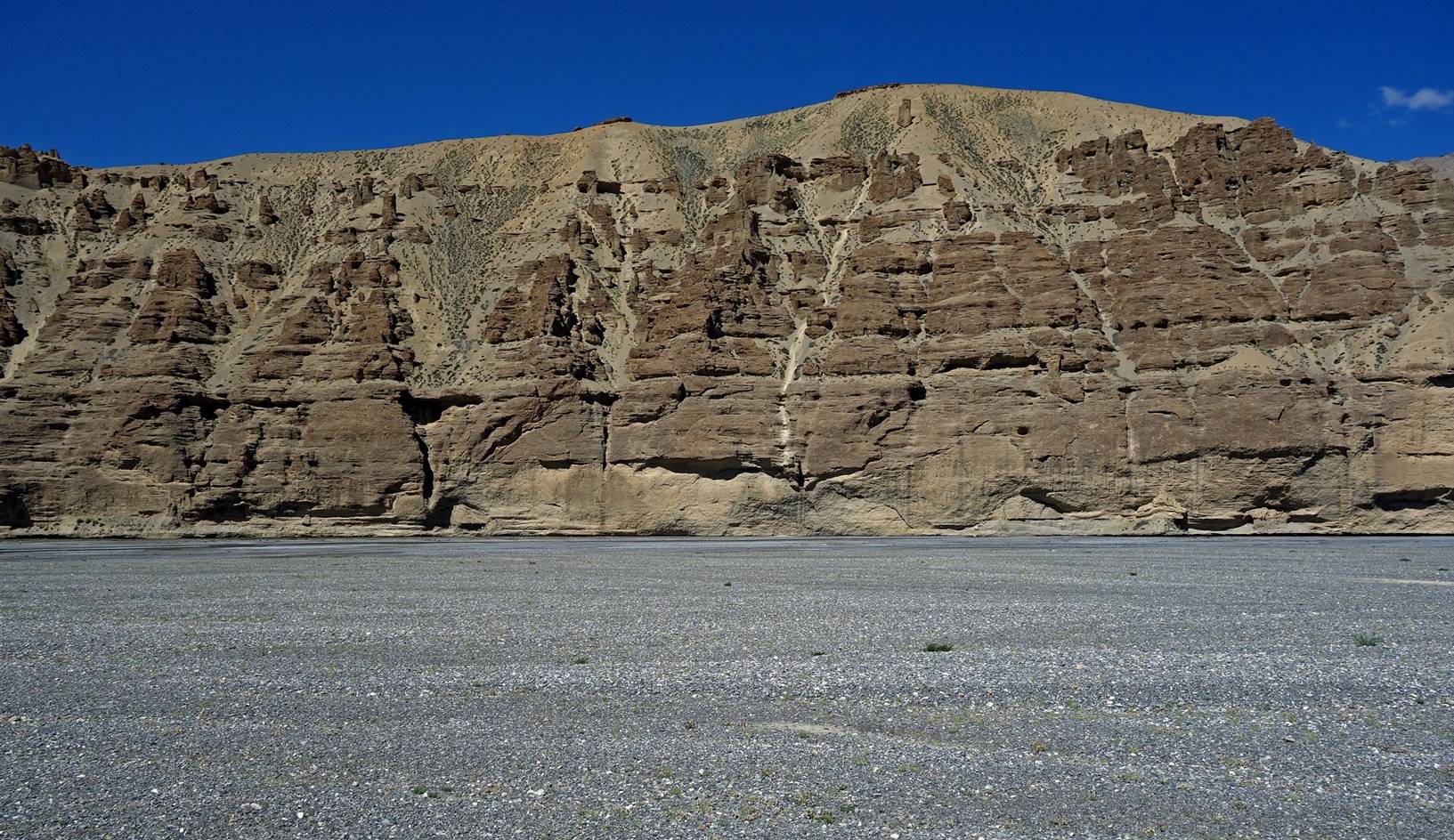


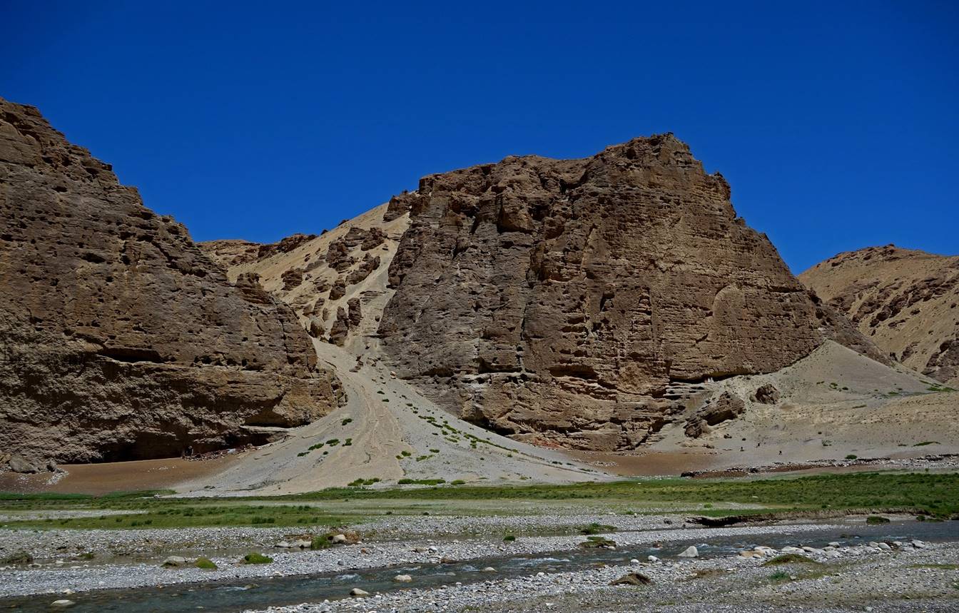
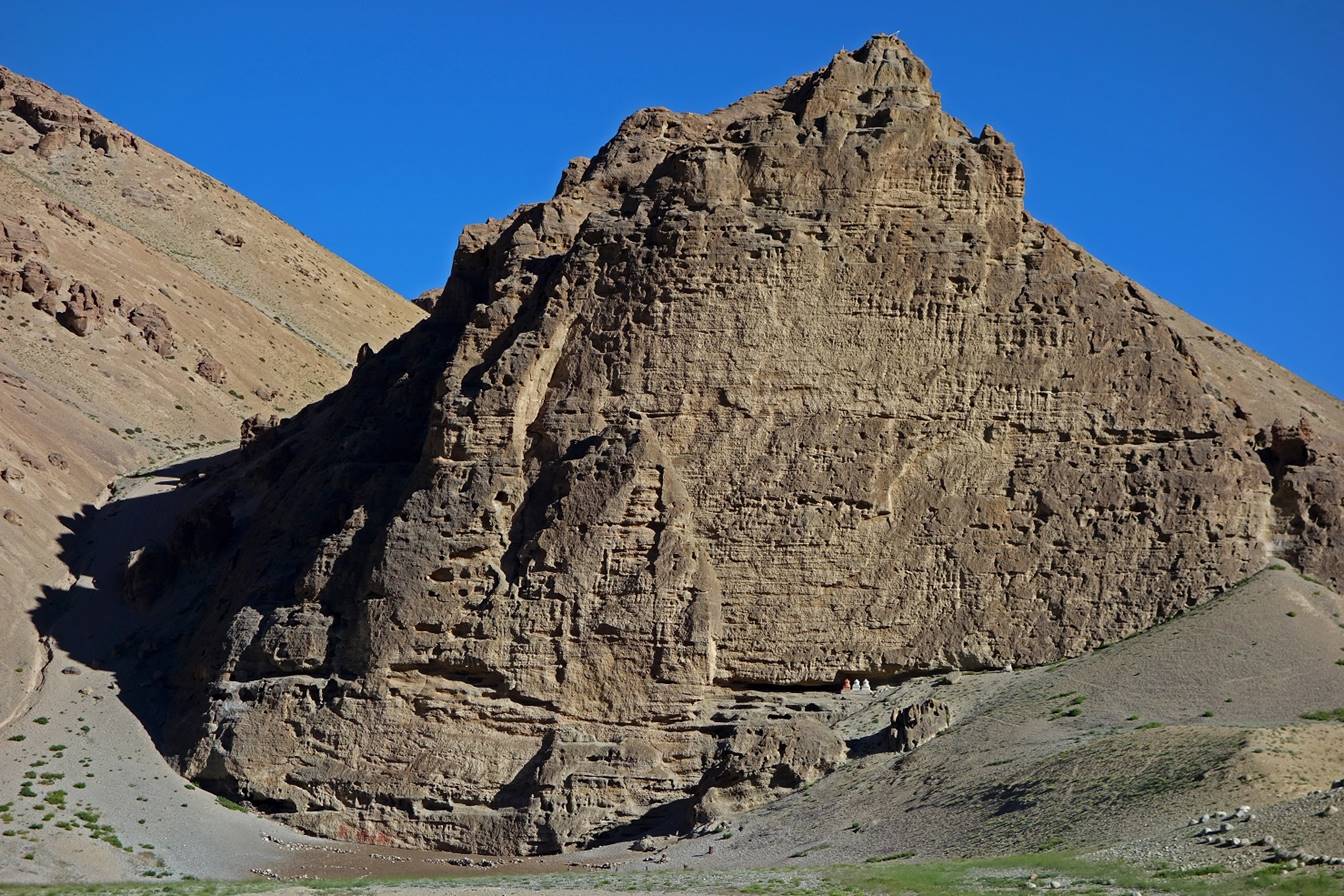
We set our camp C04 in front of this
large cliff on the opposite (eastern) bank of Zara Chu. Note the three-colored
stupas at the base of the cliff.
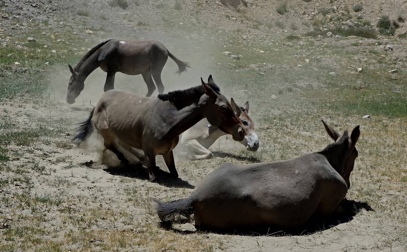
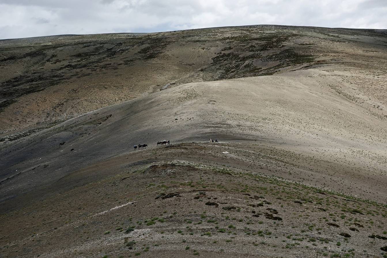
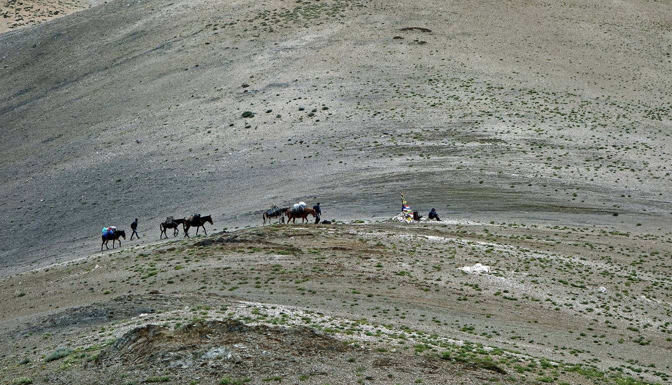
Our horses taking a dust bath to dry
their skins and remove bugs after being unloaded.
In a side-valley near Camp C04.


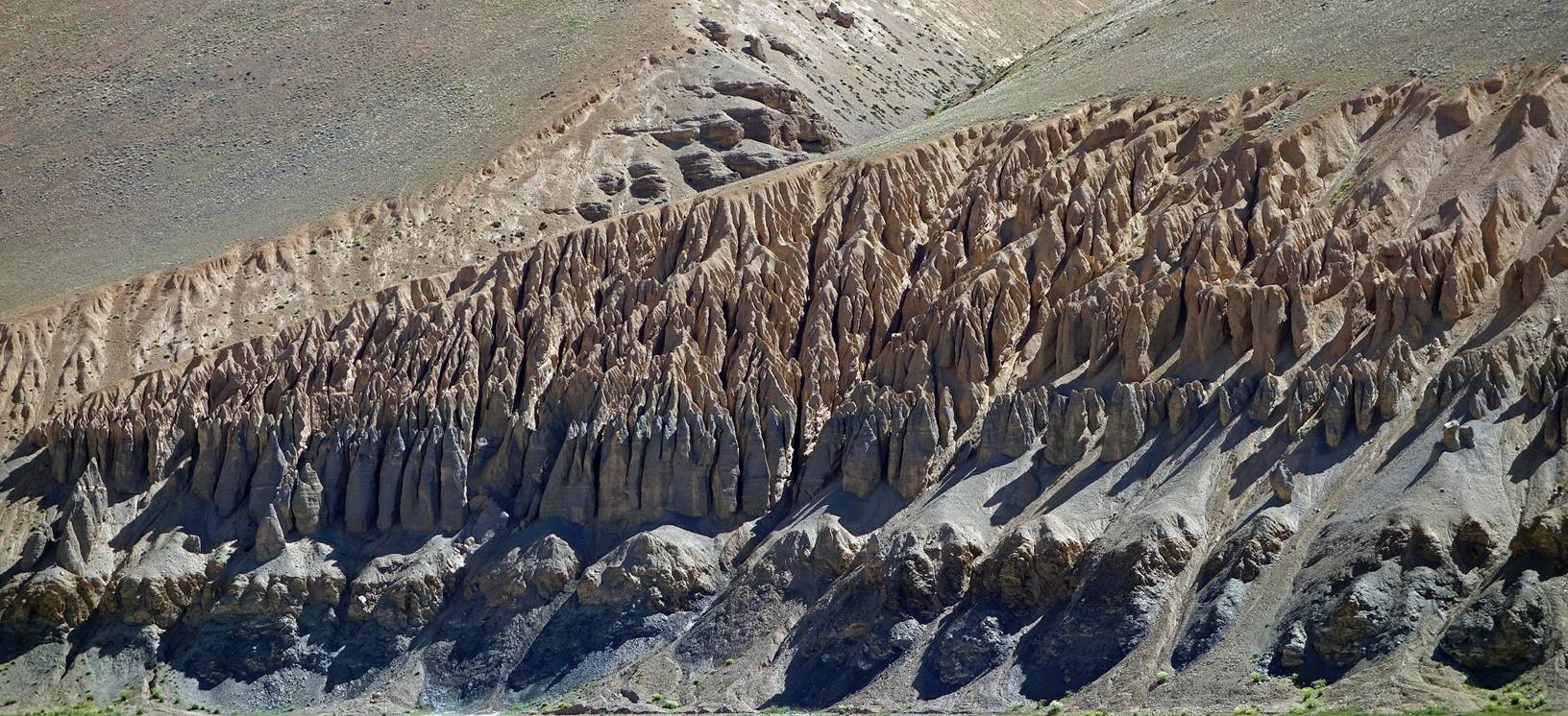
Day 5:
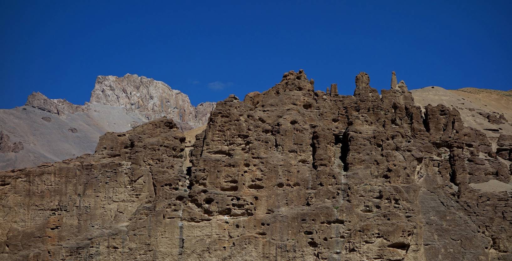
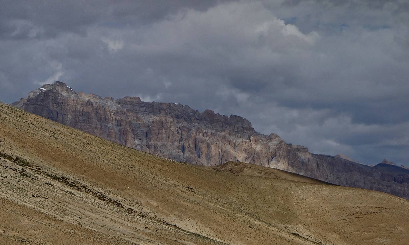
On that day we continued hiking up the
Zara Chu valley to reach Sangtha. The cliffs on both
sides of the valley were not as impressive as on Day 4.
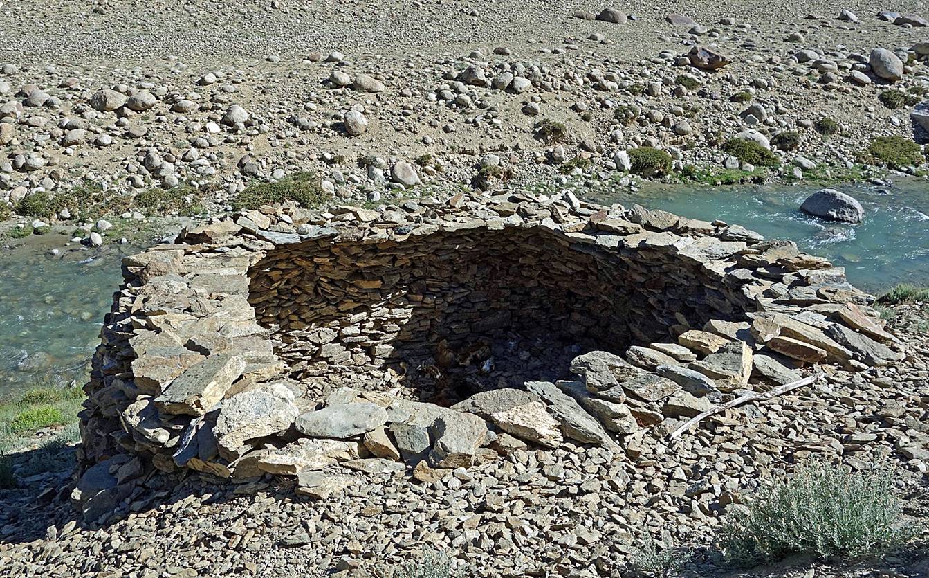
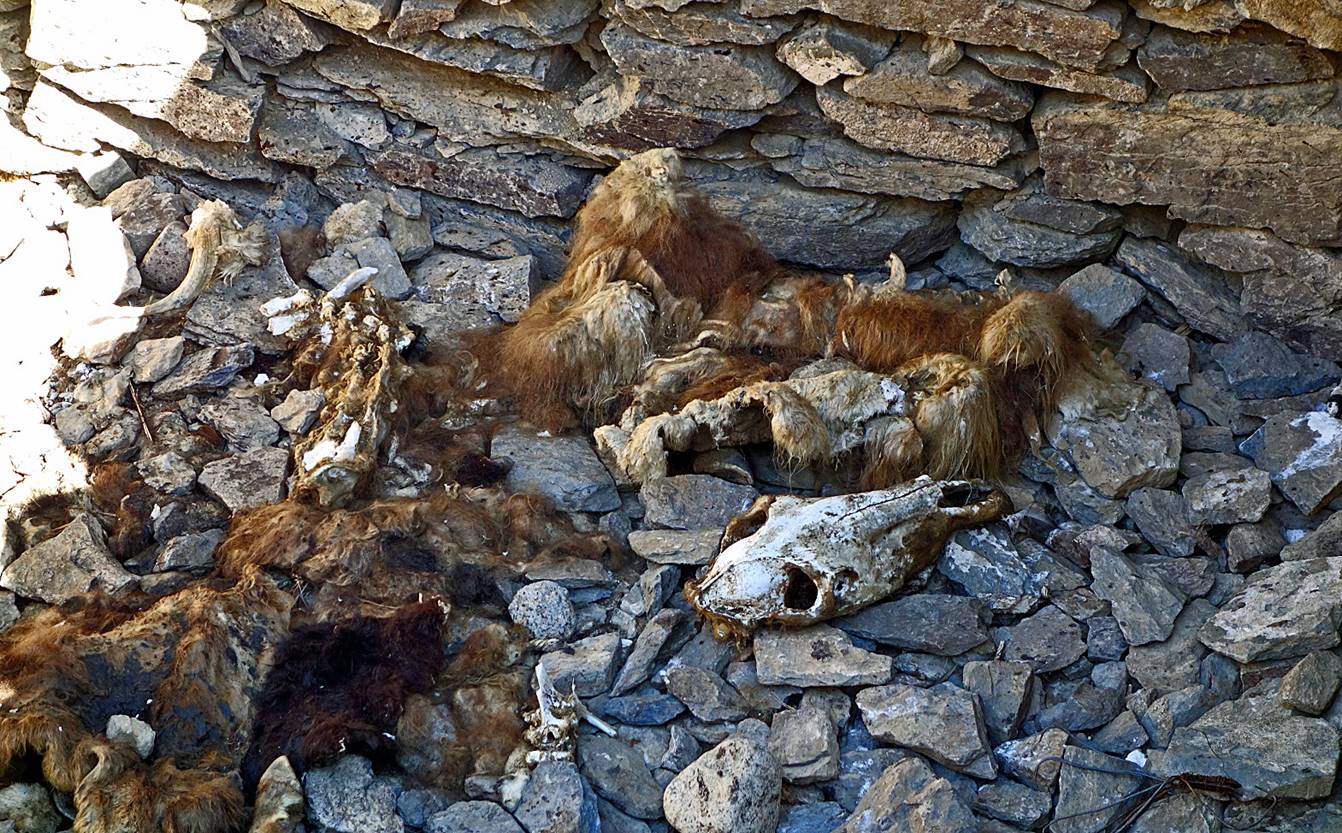
Wolf trap seen along the way. People put
dead animals in it to attract wolves. Once a wolf has jumped into the trap, it
can no longer escape.
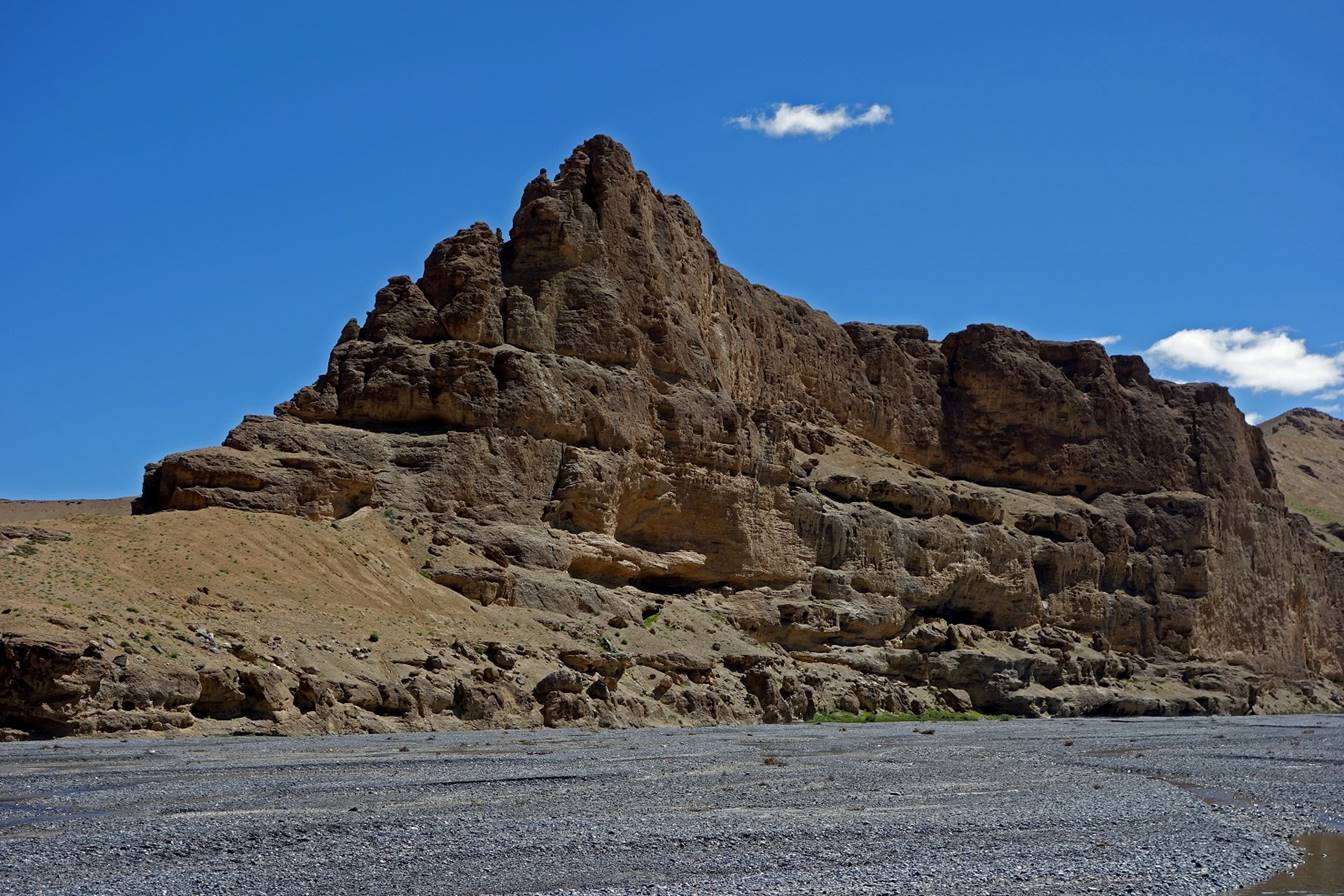
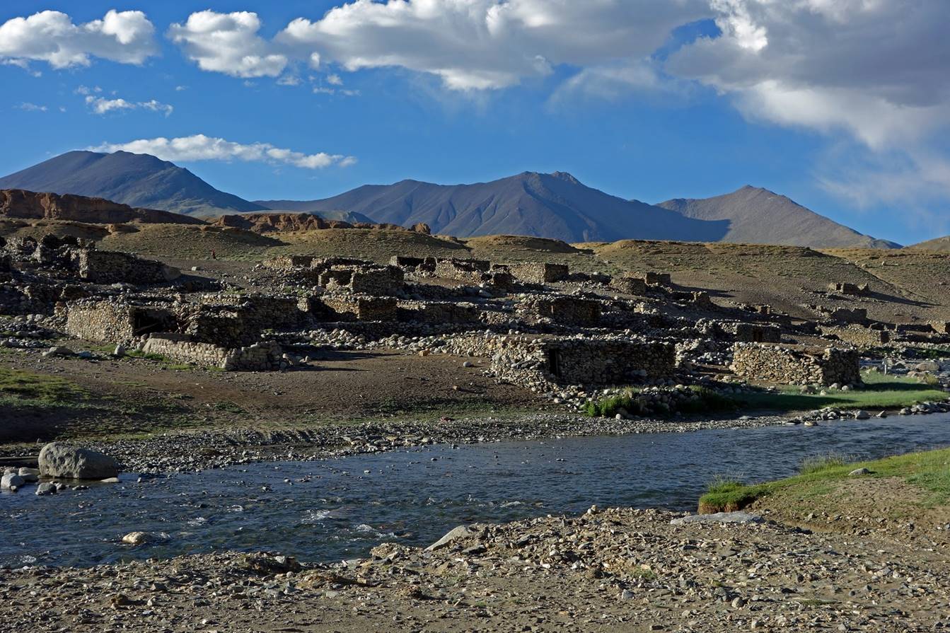
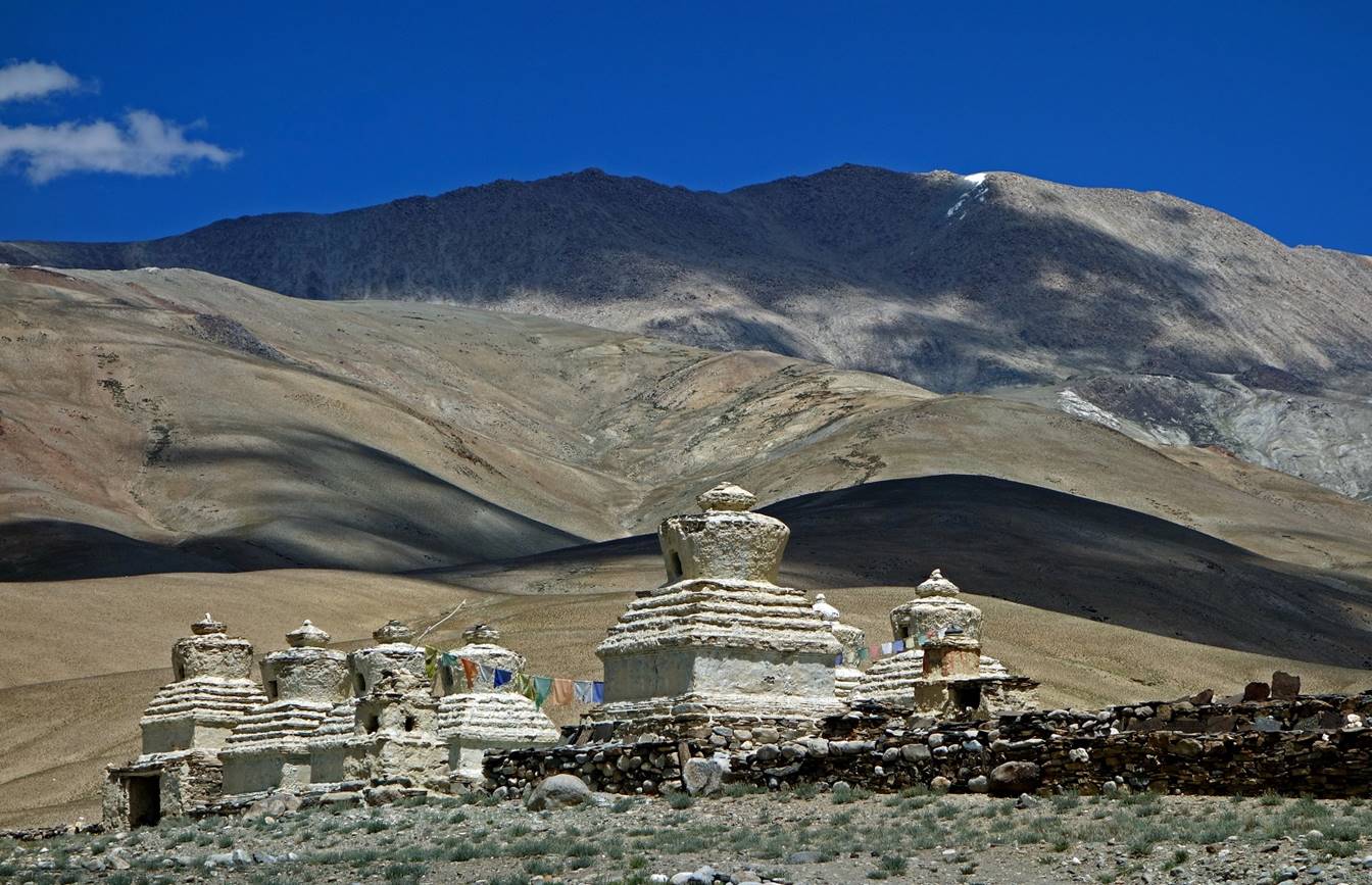
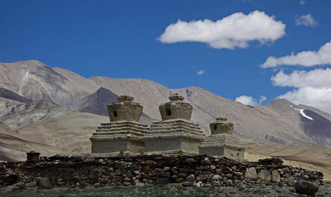
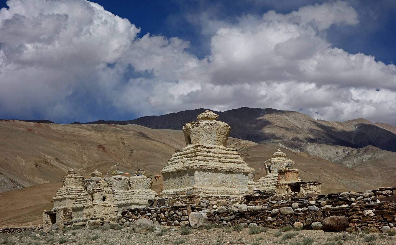
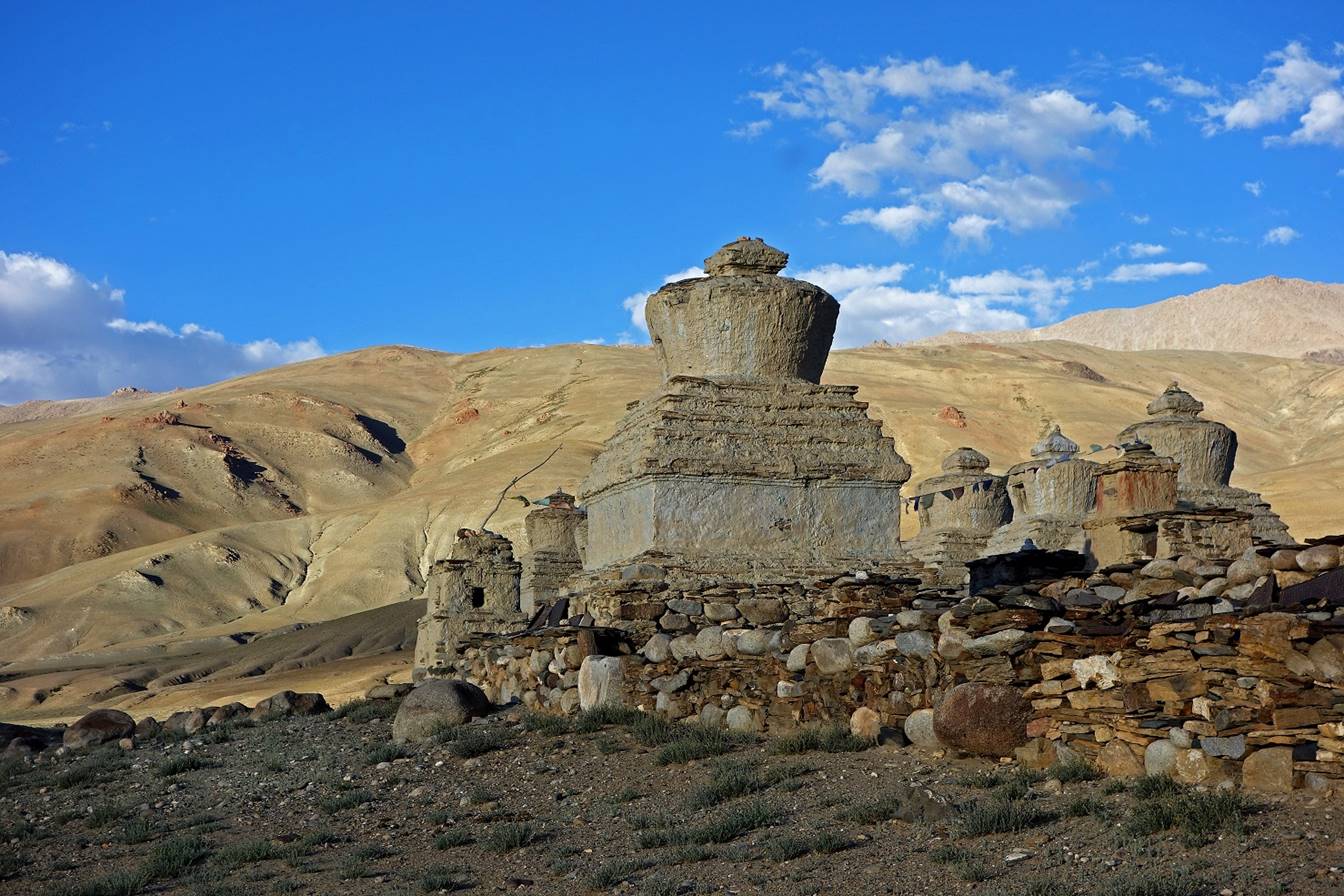
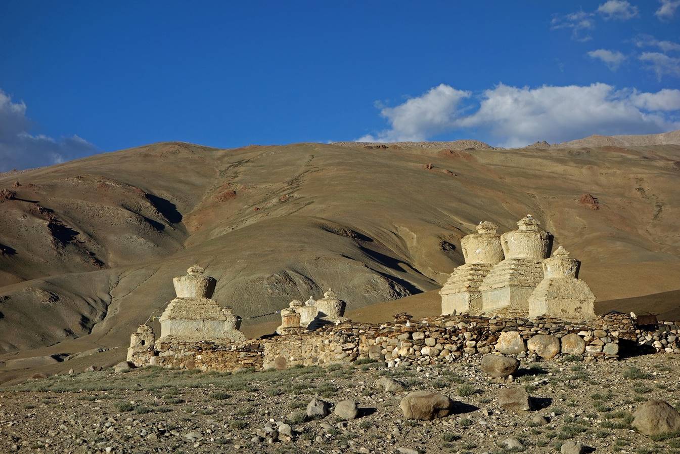
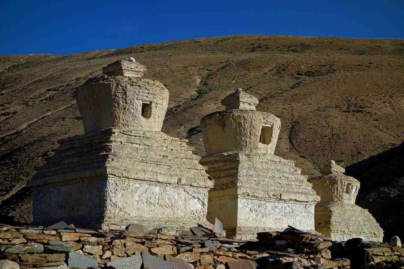
Sangtha and its chortens.
Until recently the village of Sangtha used to be
occupied by nomads during the winter season. I am not sure it is still the
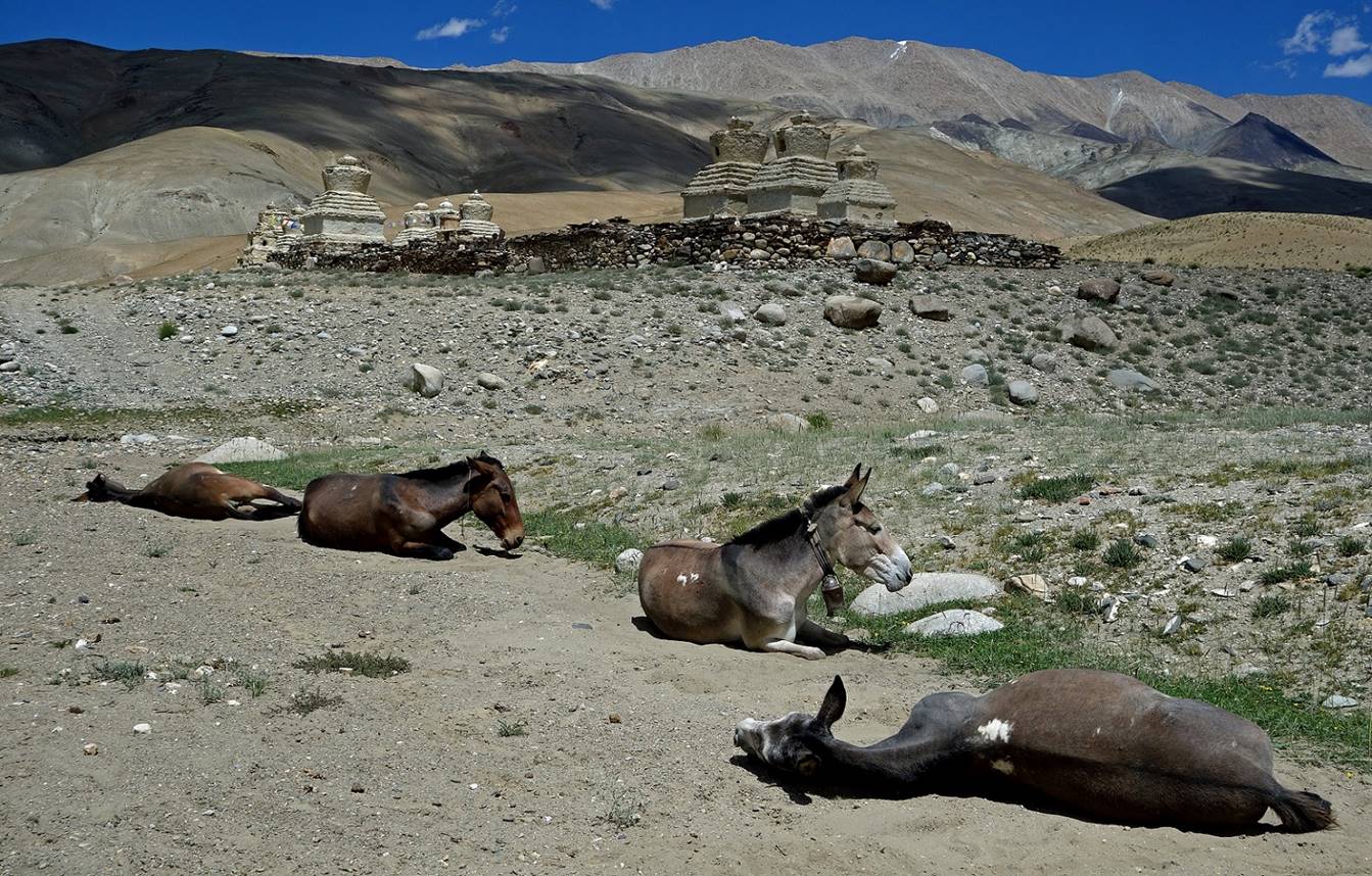
case. We set Camp C05 below the chortens.

Our horses resting below the chortens.
Pictures of the chortens
under different lighting conditions.
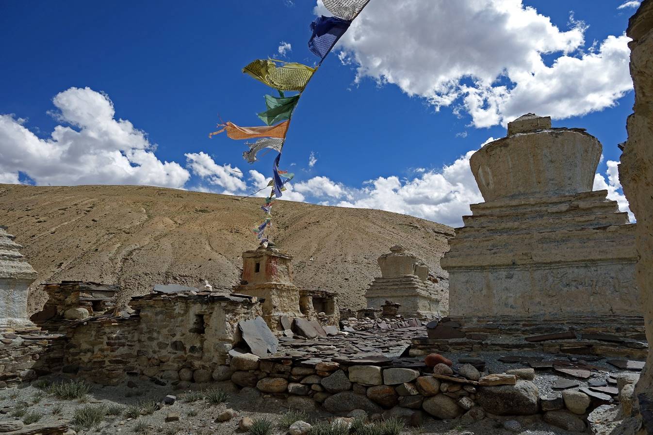
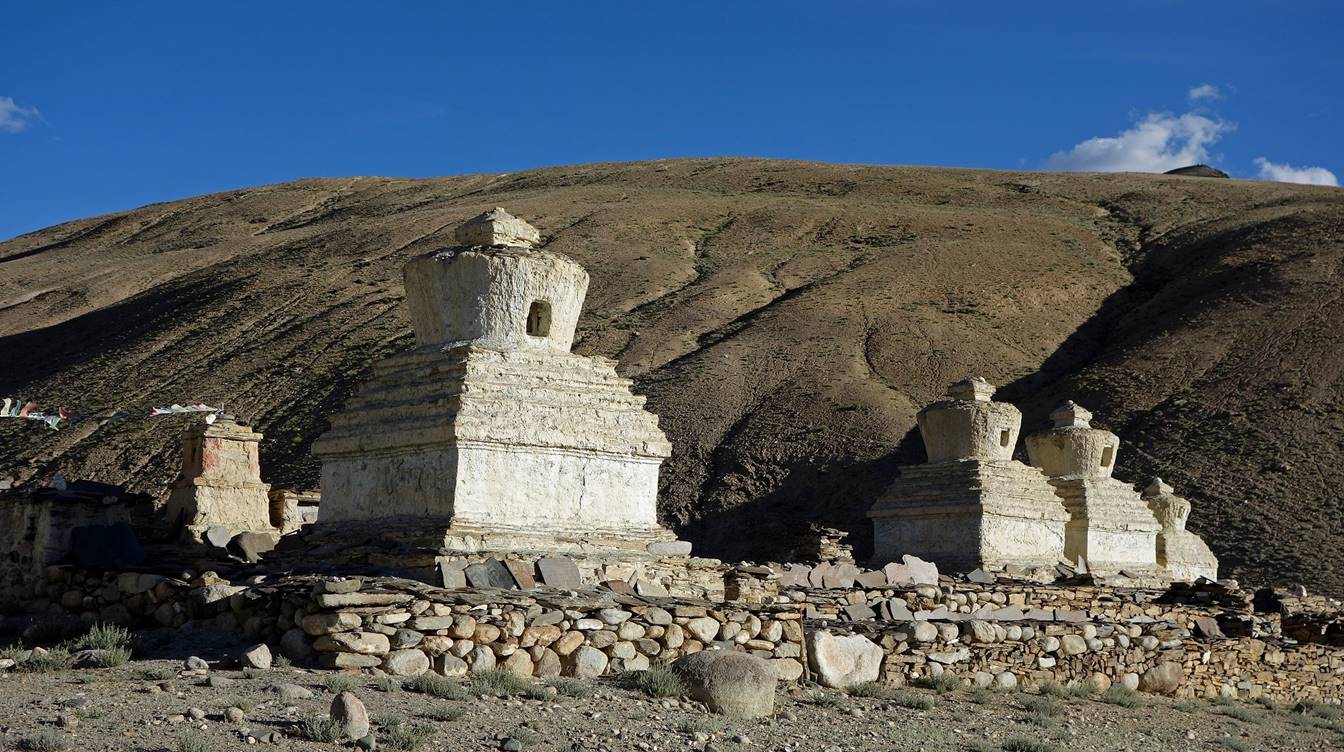
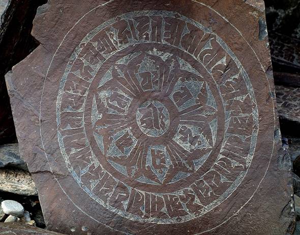
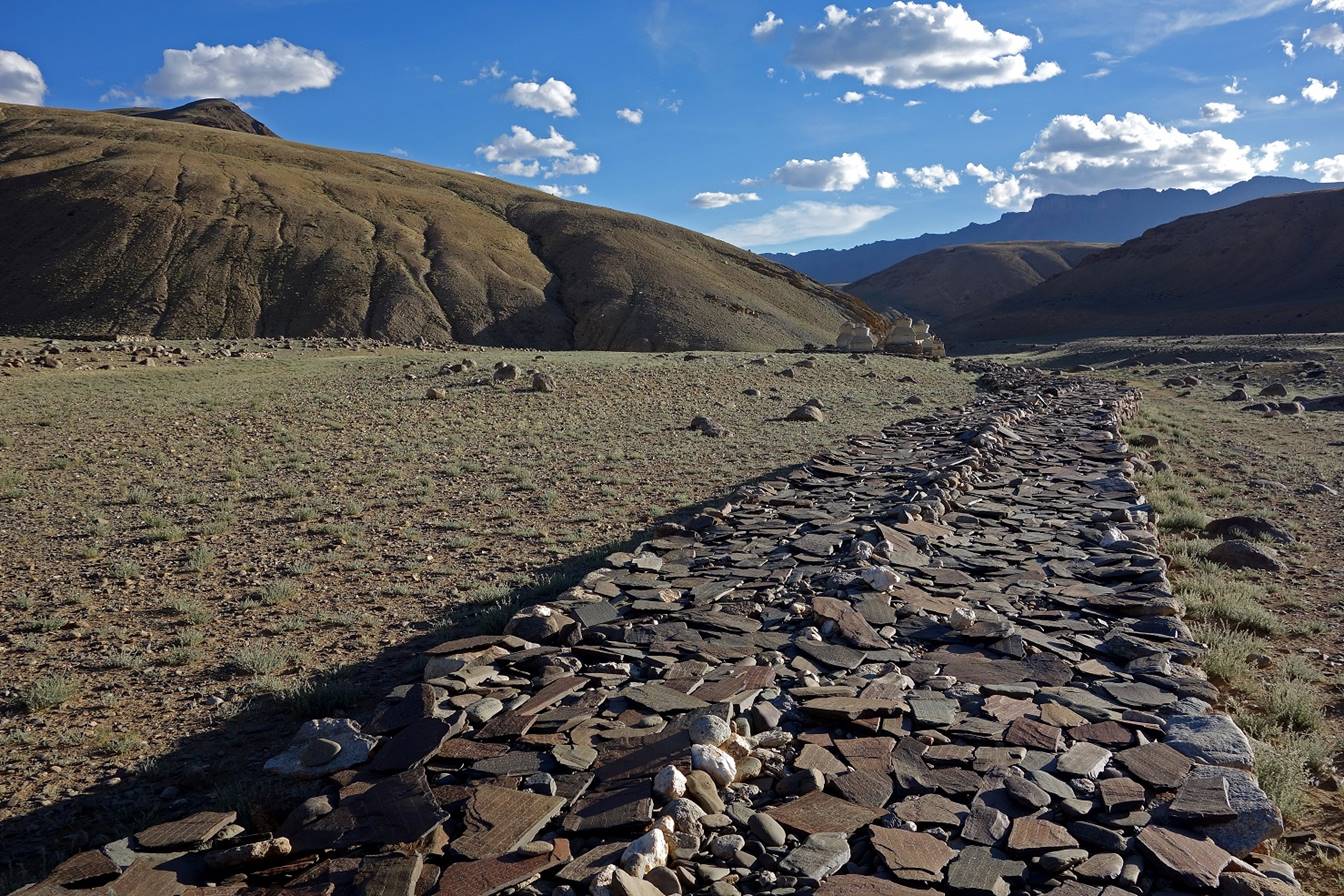
Mani stones and long mani wall near the chortens.
|
|
|
|


The hike between Camps C04 and C05 was
rather short. So, in the afternoon I went to Yagang,
another nomad village located some 7km north of Sangtha.
On the way to Yagang.
Note the kiang (Tibetan wild ass) in the middle of the grassland. In following
days we saw many more kiangs (see Day 13).
Small artificial pond below Yagang.
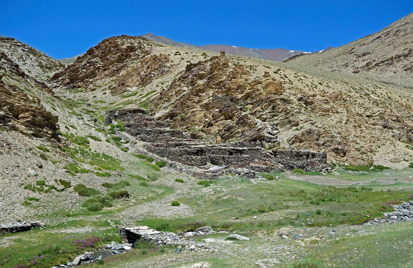
Houses in Yagang.
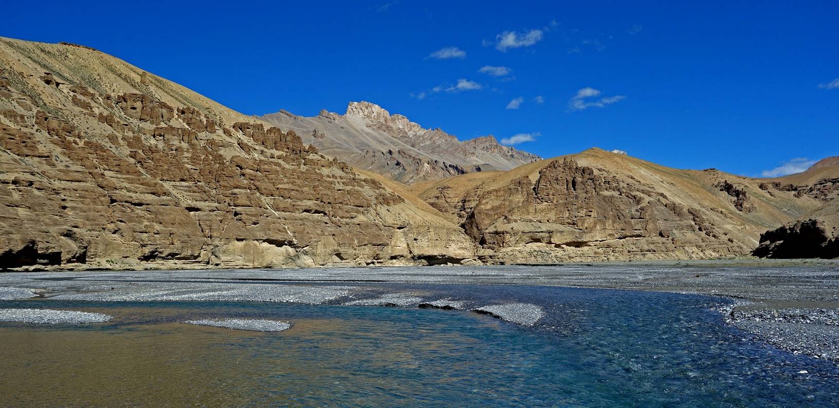
Day 6:
On that day we crossed Pogmar La (4950m), a very straightforward pass, to reach
the Leh-Manali road and soon after a nomad camp at a
place called Skyang Chu.
Looking back toward Sangtha
(toward the north-west) during the ascent of Pogmar
La.
Views (on the southwest side) during the
ascent.
Crossing the pass.
View from Pogmar
La over the valley crossed by the Leh-Manali some 6km
further down.
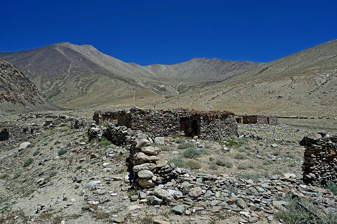
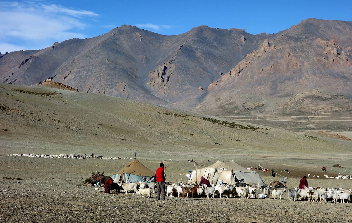
At the nomad camp where we put our Camp
C06, the only place where water was available several kilometers around.
Woman making butter by shaking milk,
cream, or yoghurt in a sheep skin (right).
|
|
|
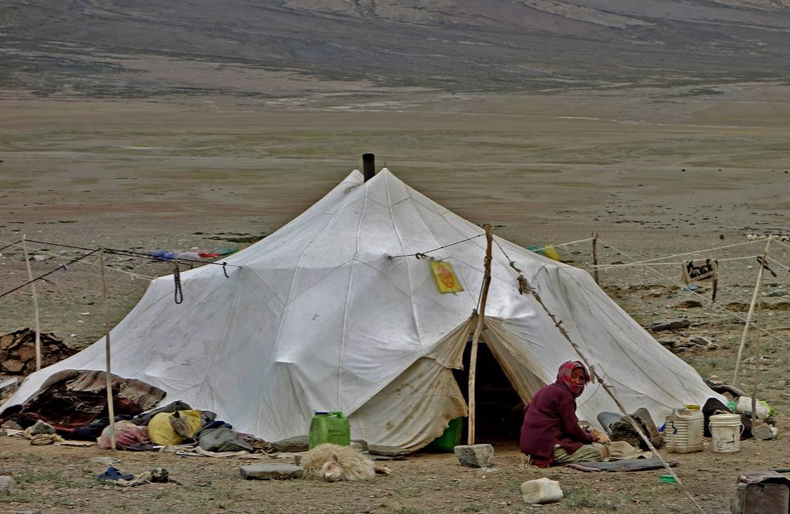

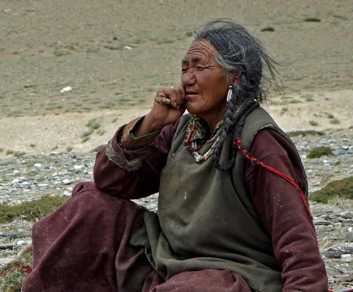
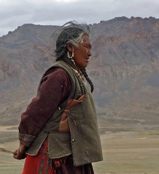
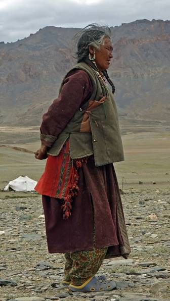
Other woman at the camp.
|
|
|
|
Day 7:
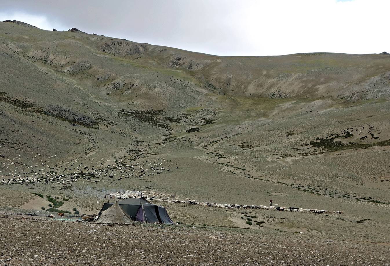
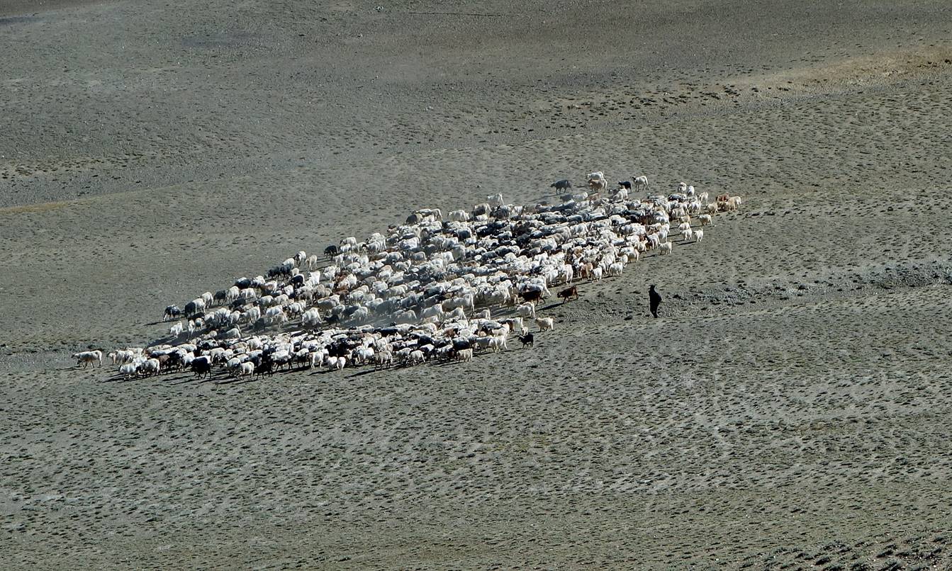
Morning sheep/goat
herding at the nomad camp. Herders then leave in different directions with
their respective flocks and return to the camp at dusk. After a few months in a
camp they move to another one.
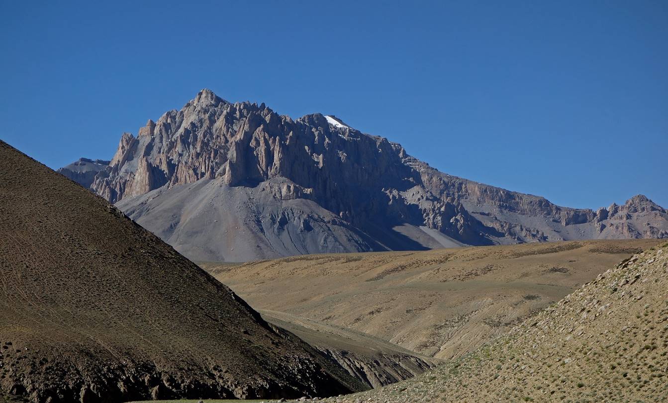
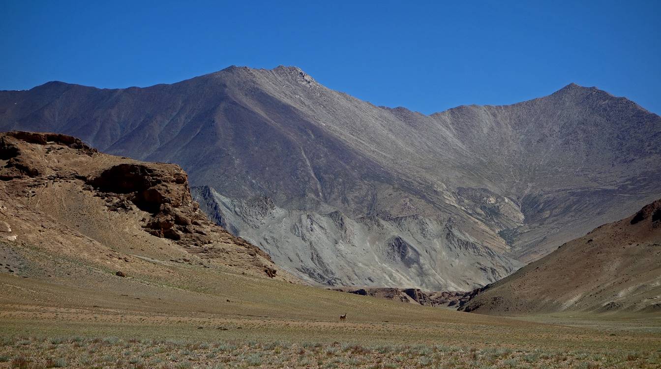
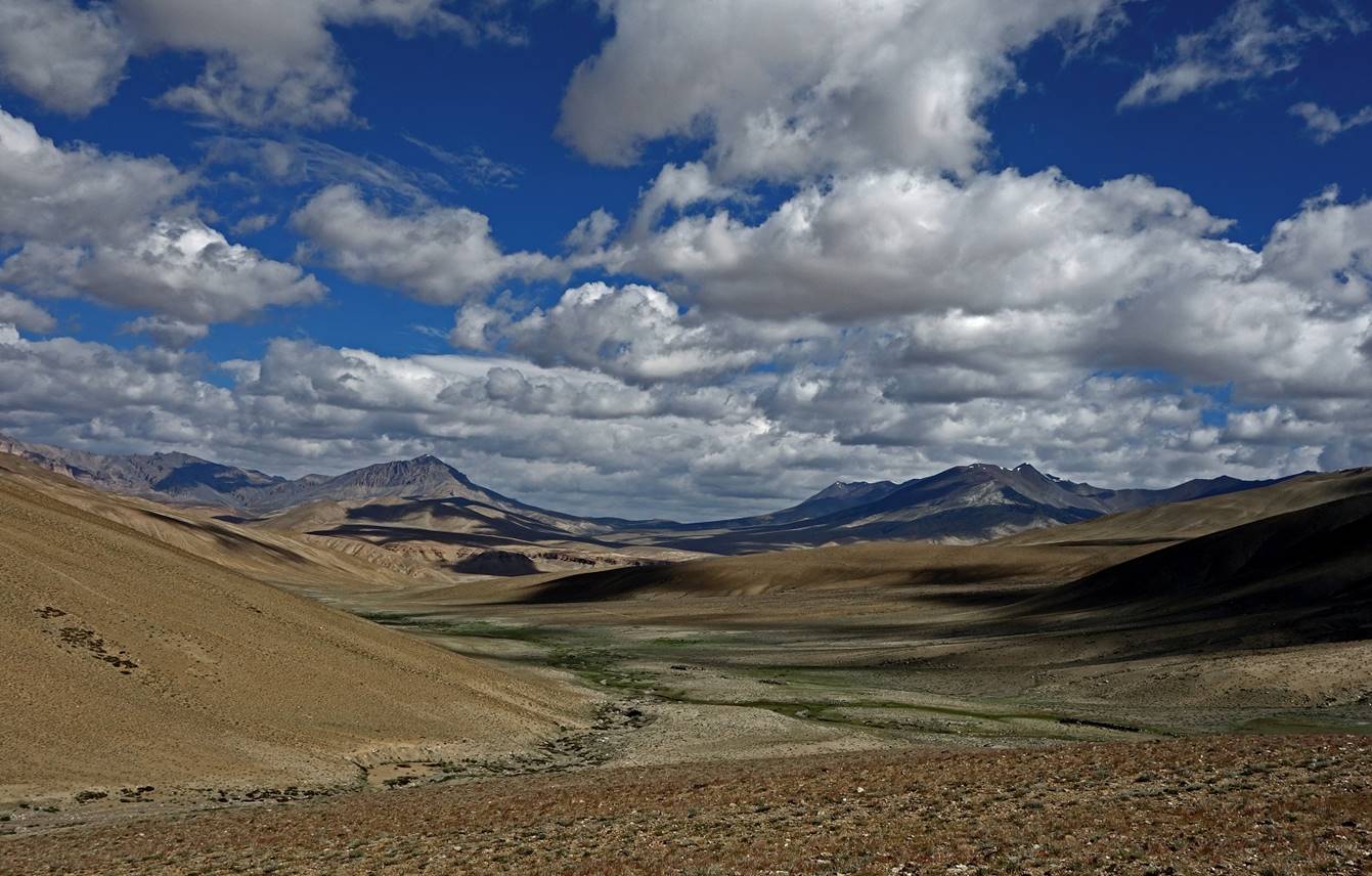
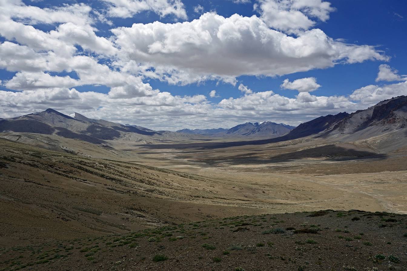
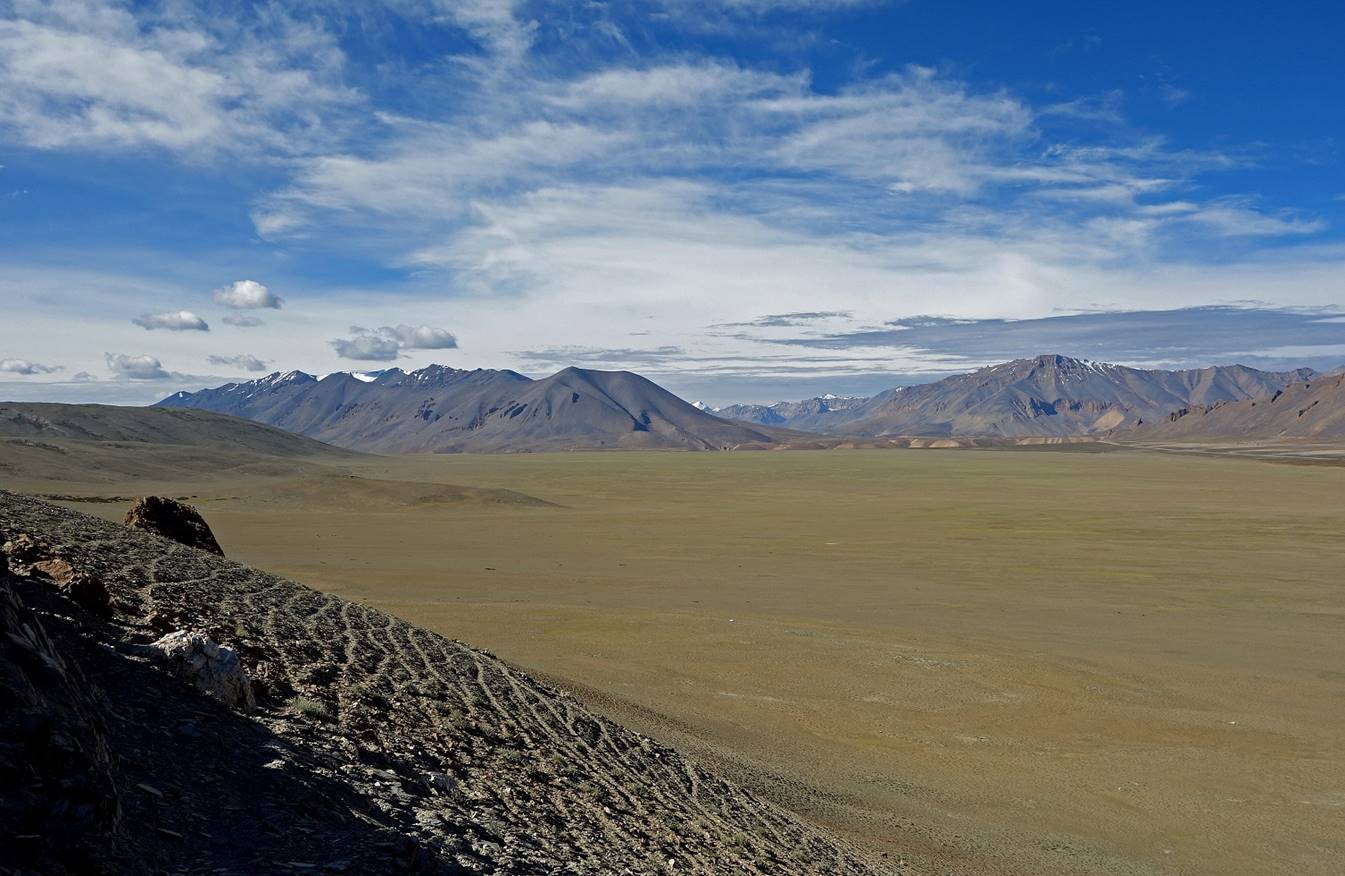
On that day (and on the
next) we hiked across rather monotonous open-space terrain. The mountain
background was beautiful, but distant.

We set Camp C07 in this
small ravine.
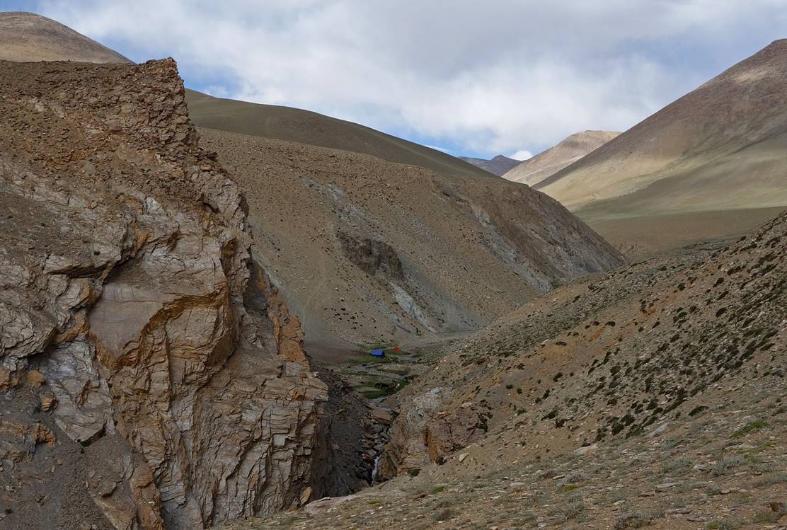
Day 8:
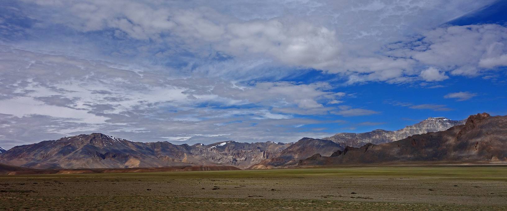
Day 8 was similar to the previous
one, on monotonous terrain occasionally broken by small ravines.
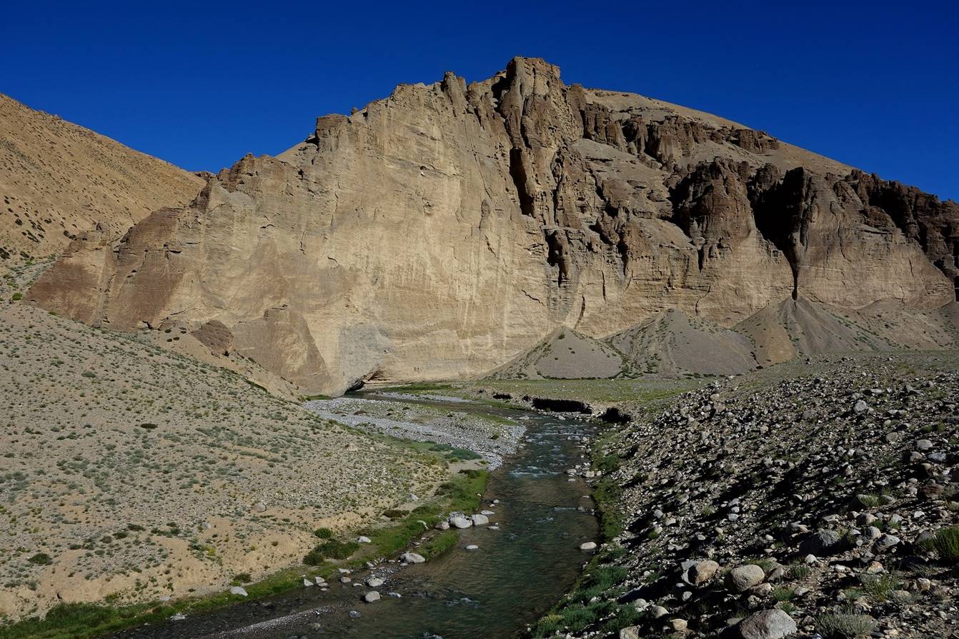
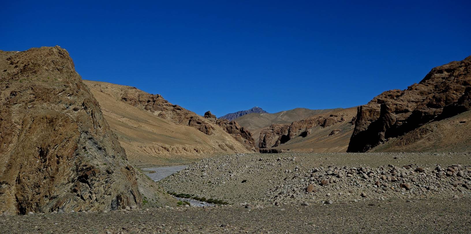
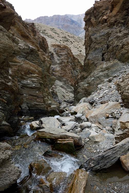
Again we set our camp
(C08) in a ravine above a steep narrow gorge leading the beautiful valley of Sumkhar Togpo (see map at the top
of the page).
|
|
|
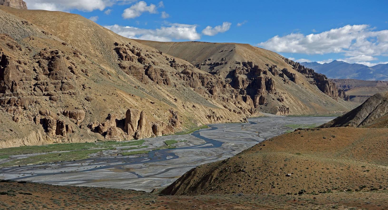
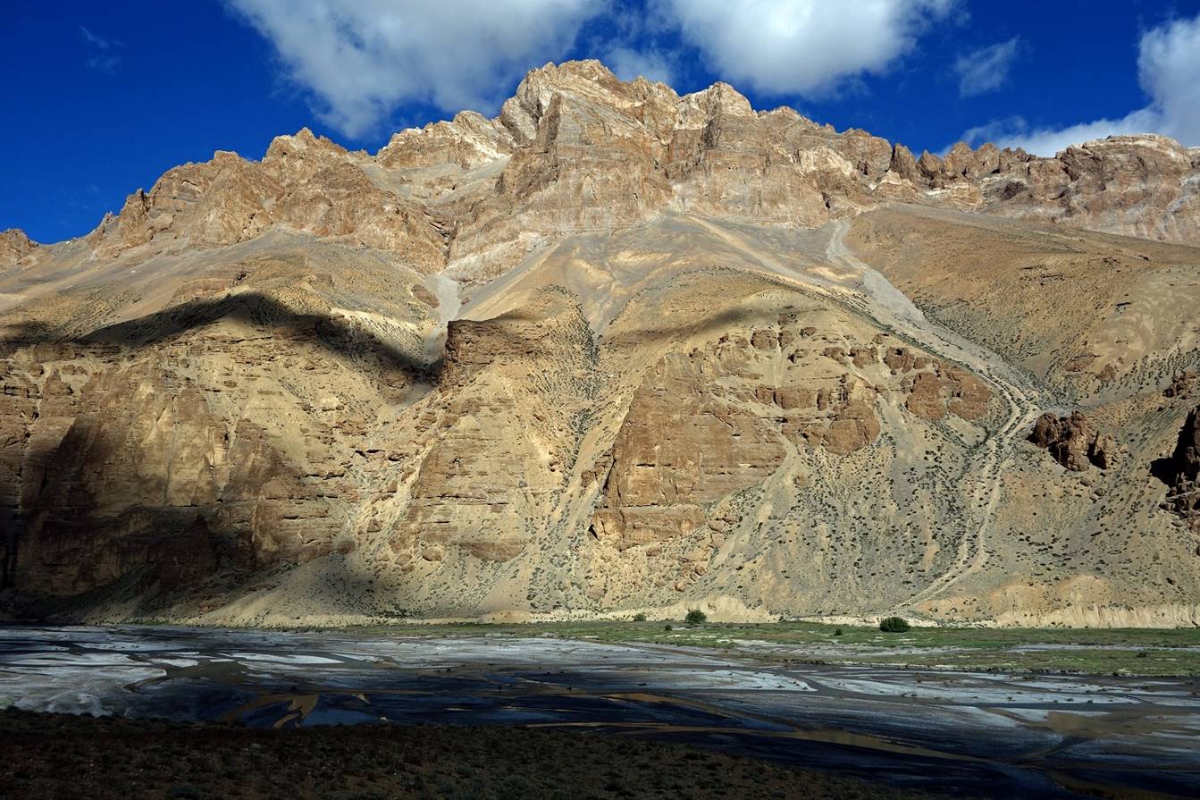
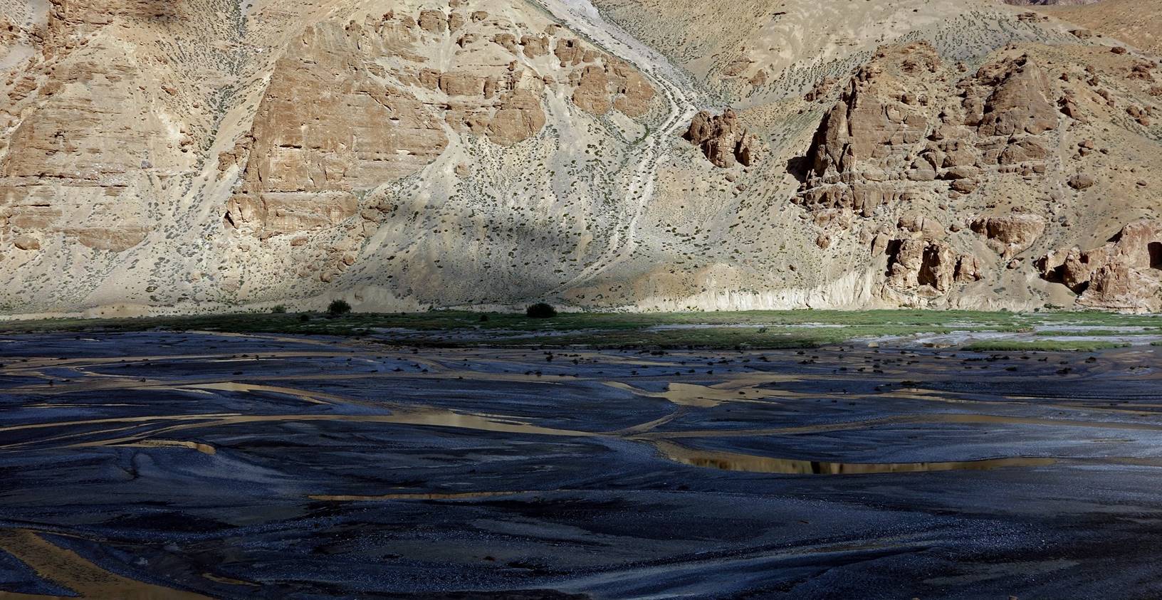
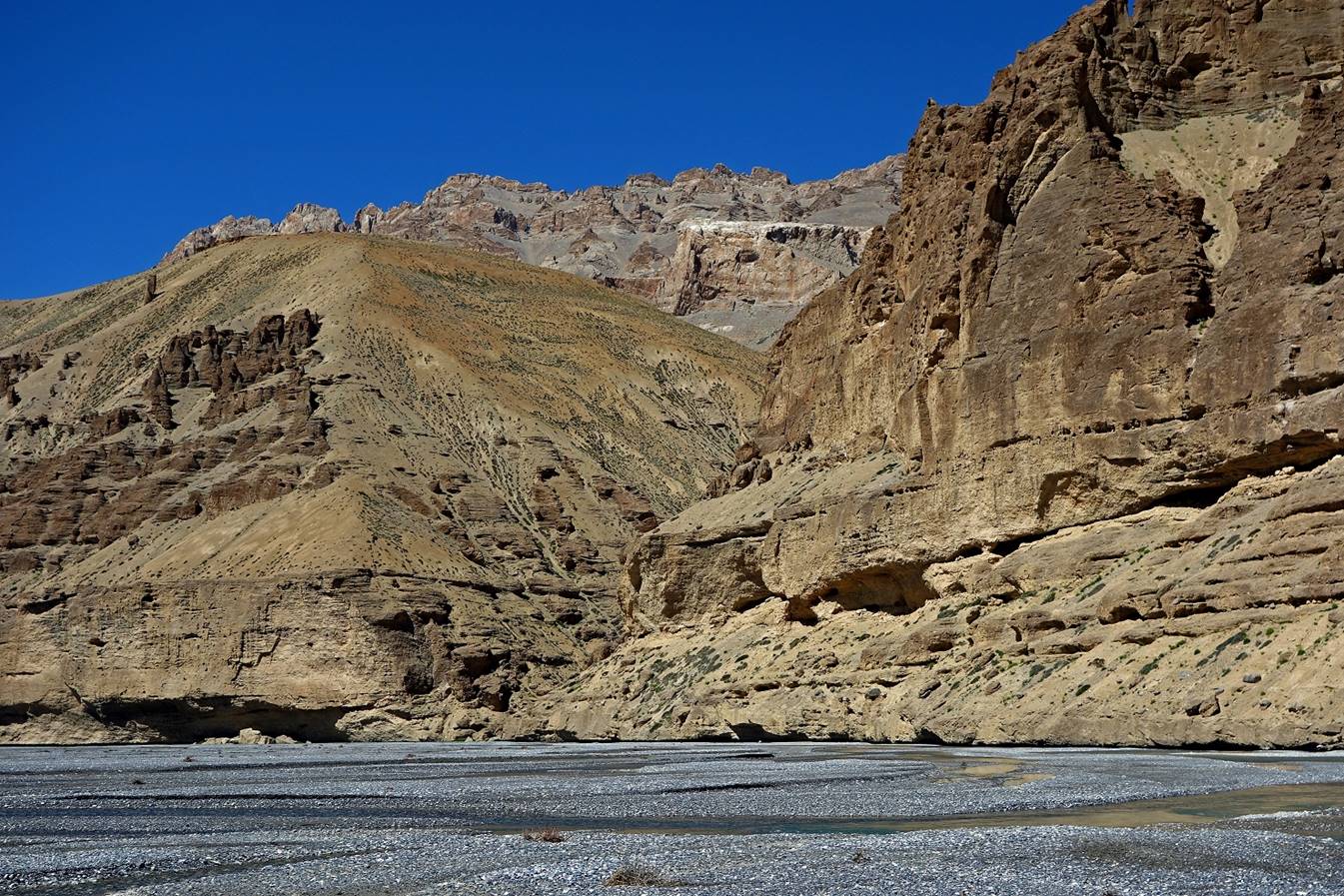
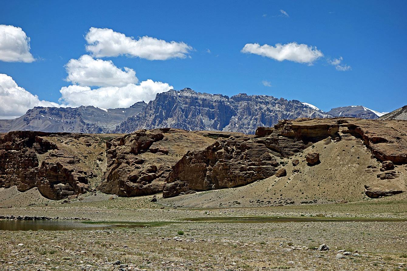
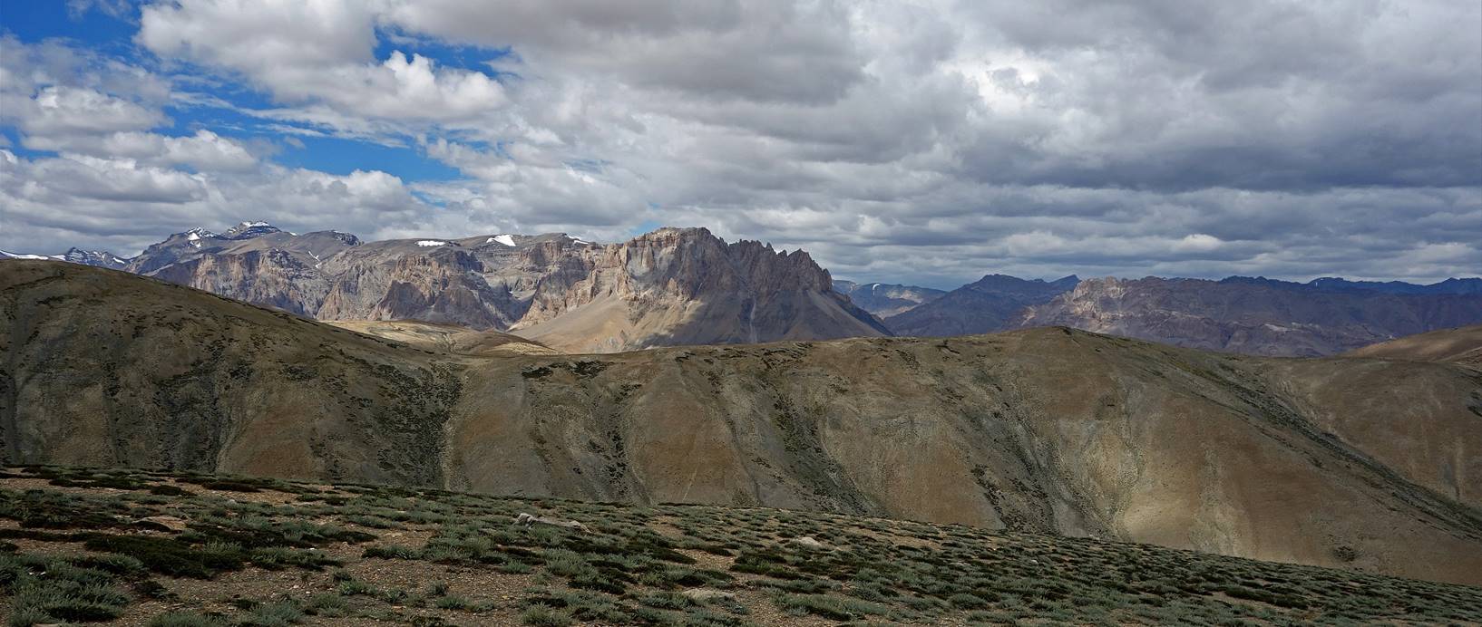
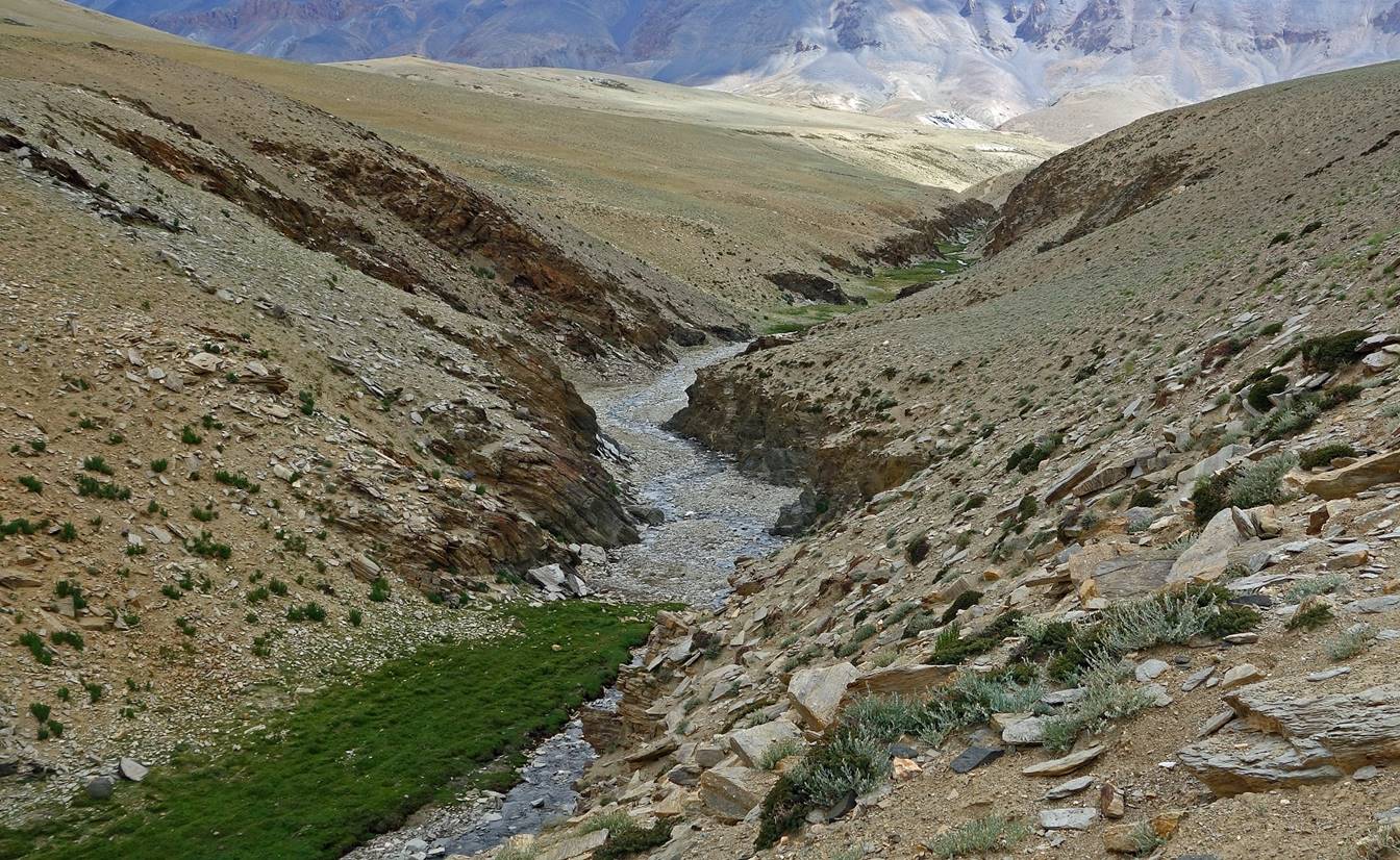
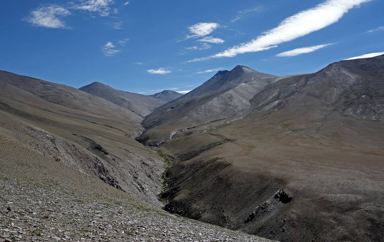
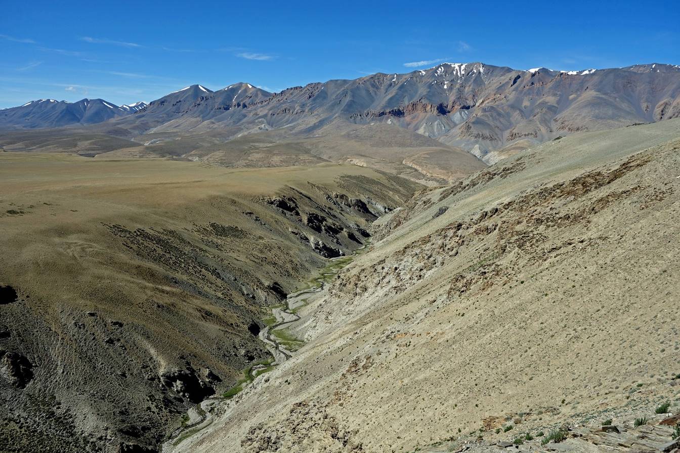
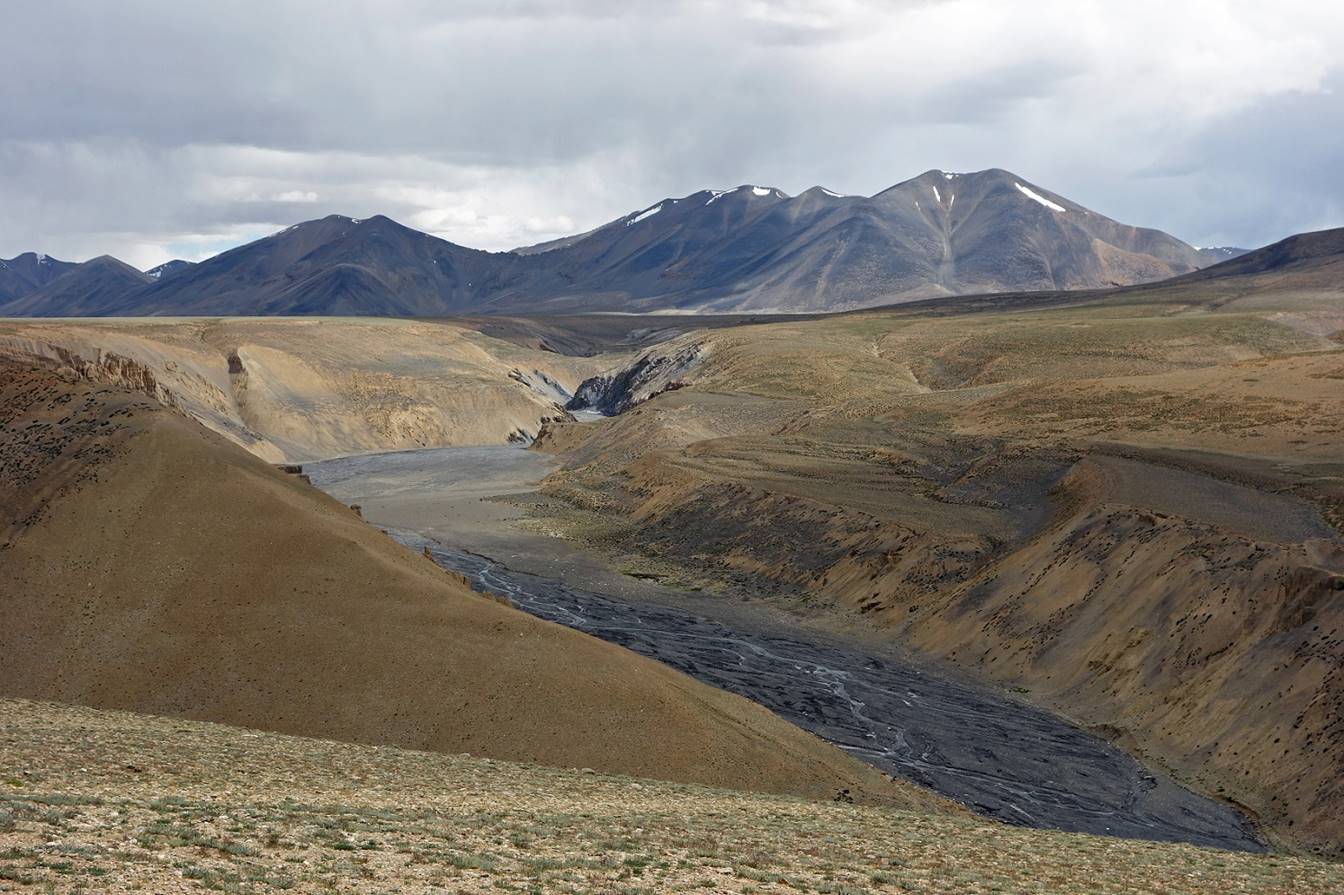
Views of the Sumkhar
Togpo valley from a ridge above C08 toward the
north-west...

...and toward the south. On the next day
we will follow a small tributary of Sumkhar Togpo (in the hidden valley at the forefront of this
photo).
![]()