India (July-August 2016): Brandy Nala (Ladakh) to Kibber (Spiti)
Days 9 to 15: Sumkhar Togpo to Kiangdam
![]()
Return
to main India-2016 webpage
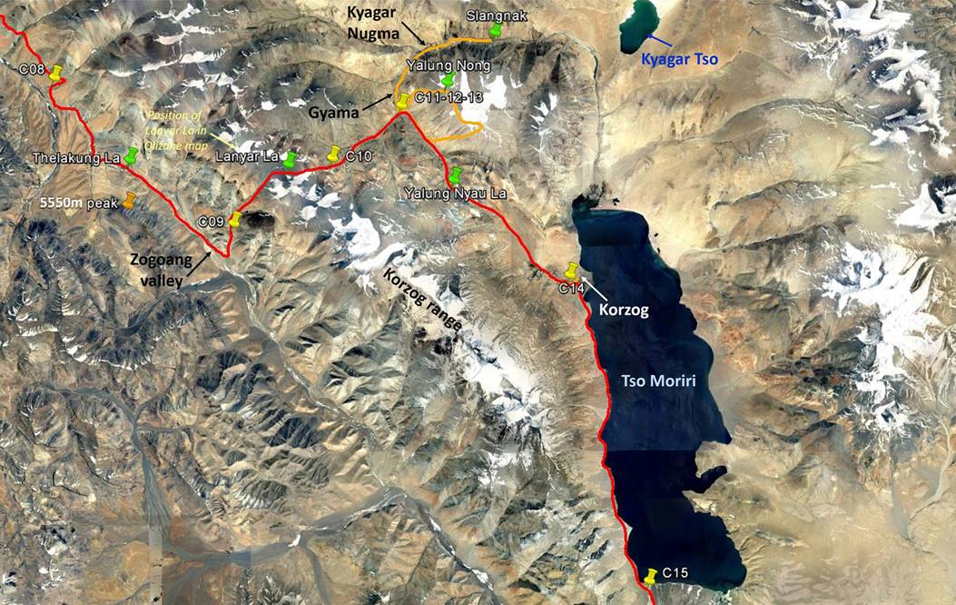
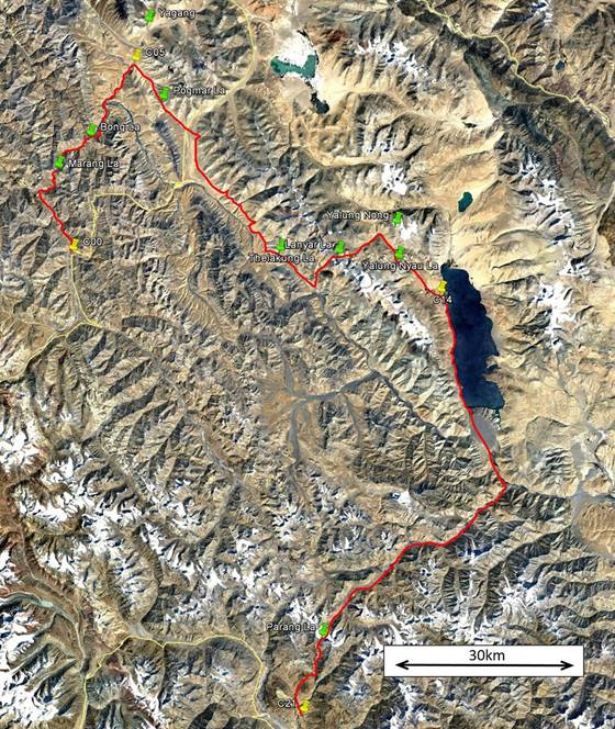
Left: map of this section. Right: map of
the entire trek. [Click here
(kmz file) to see the itinerary in Google Earth.]
|
|
|
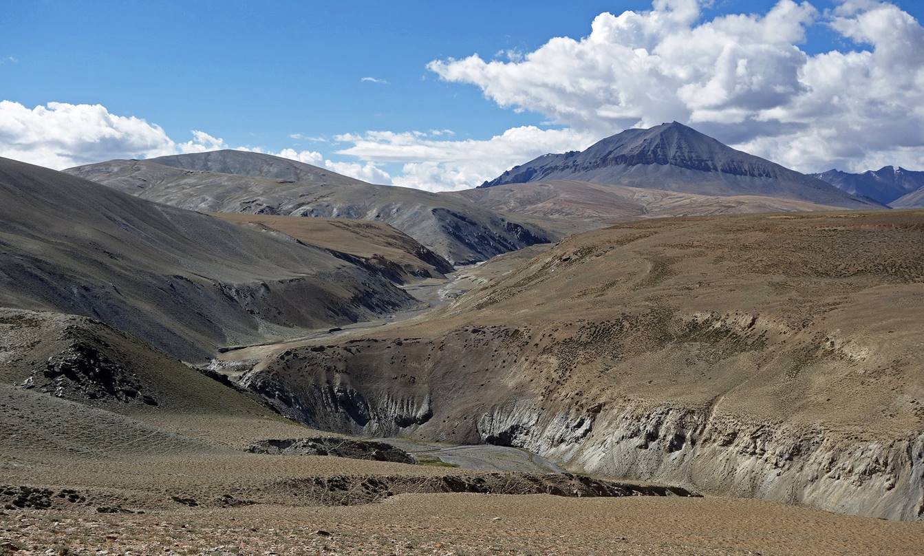
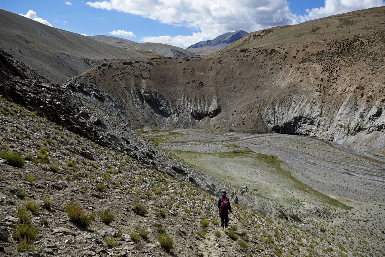
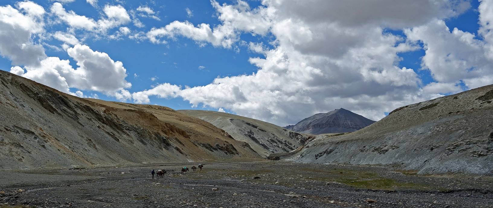
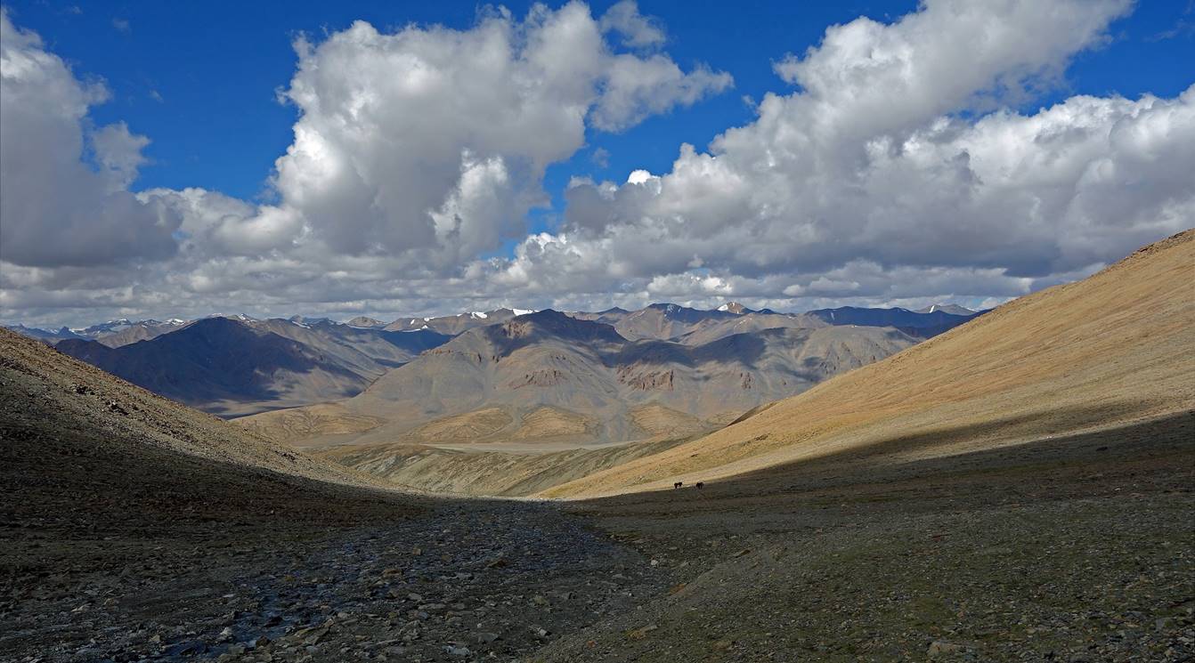
Day 9:
On that day we first hiked up a
tributary of Sumkhar Togpo.
Then we crossed Thelakung La and followed the valley
of the Zogoang river. We set
Camp C09 in a side-valley leading to Lanyar La.
Valley of the tributary.
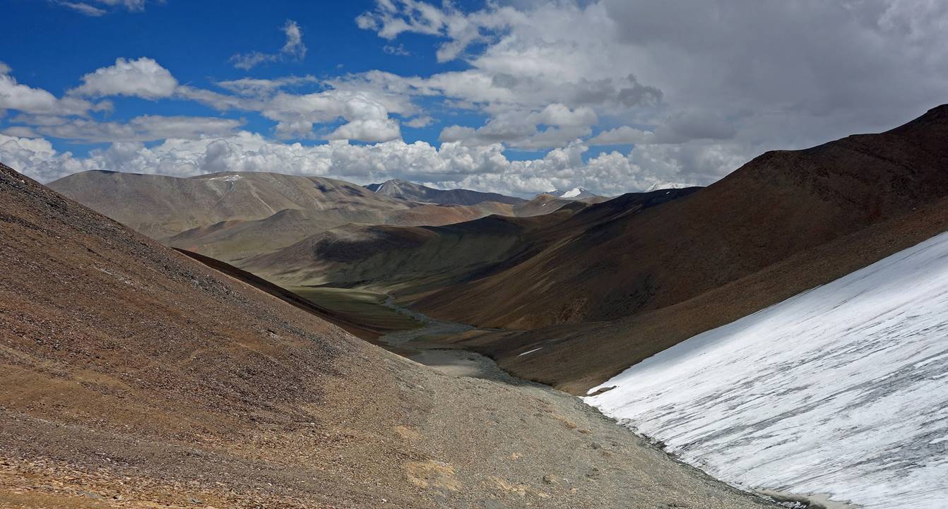
View of the 5550m peak (see map) before
reaching Thelakung La...

...and from the pass.

At Thelakung
La (5020m), with the Zogoang valley in front of us.
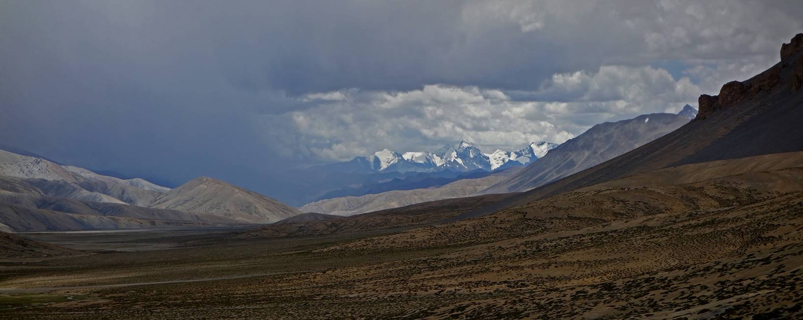
Views of the Zogoang
valley while descending from the pass with, in the background, the snowy
mountain range where the last pass of the trek (Parang
La) is located.
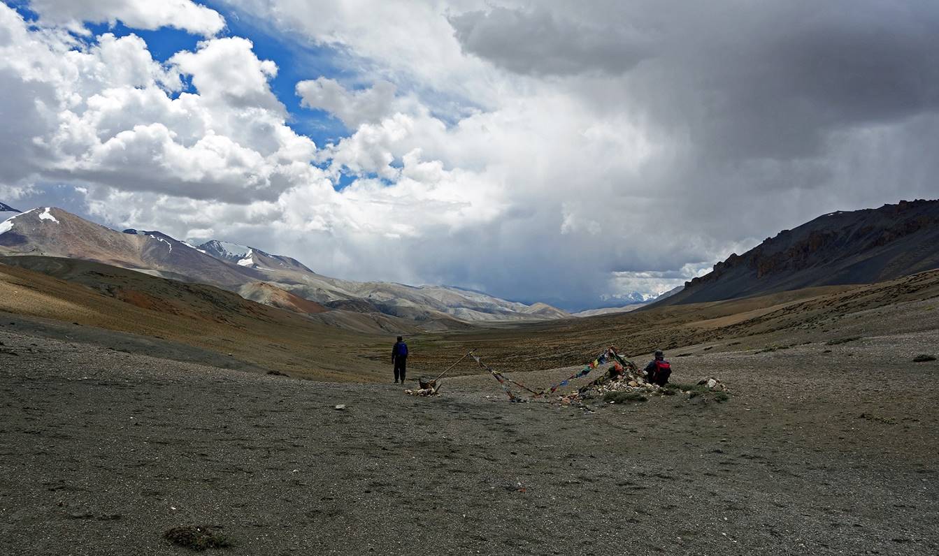
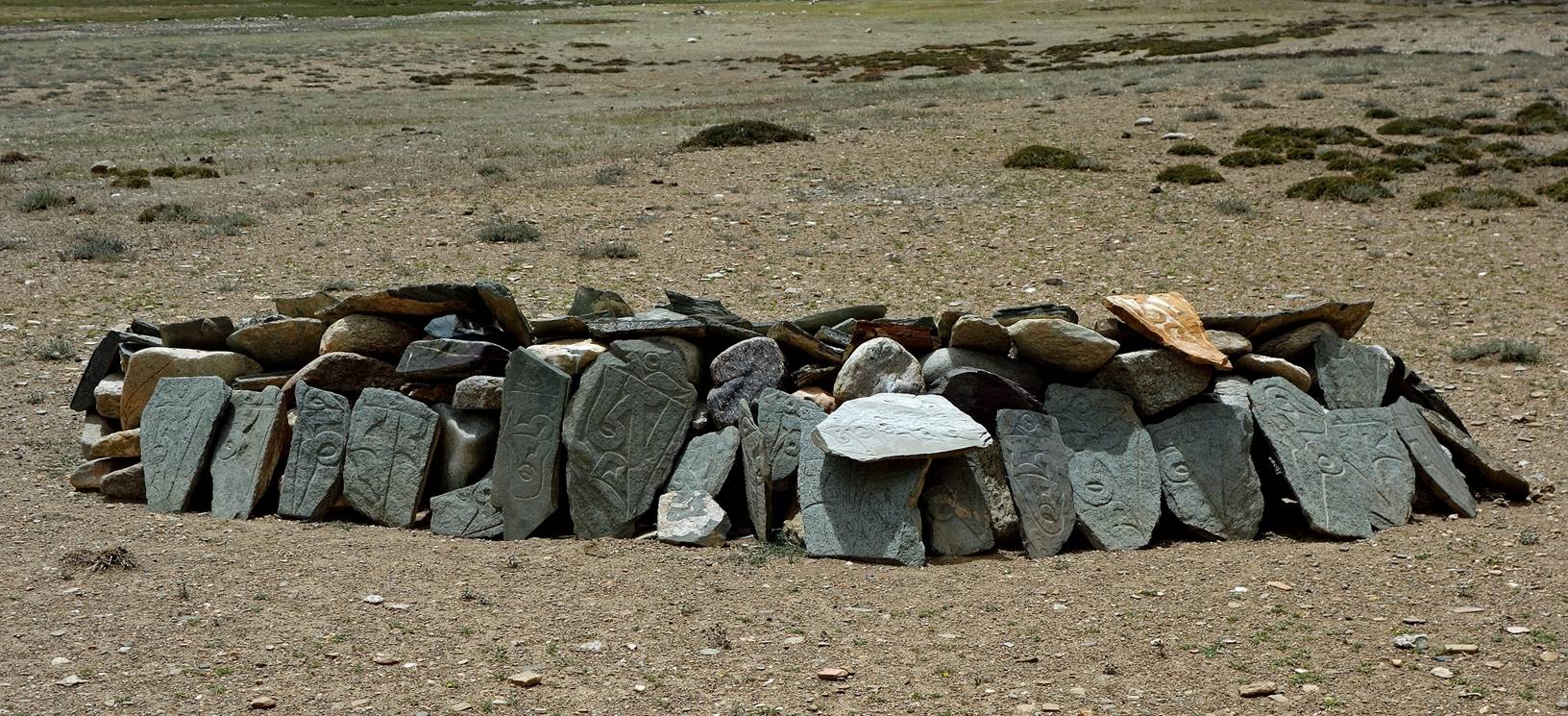
Mani wall along the way.
Further down.
Camp C09 below Lanyar
La (not visible in the photo).
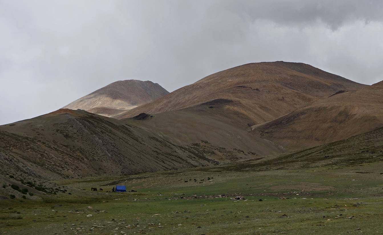
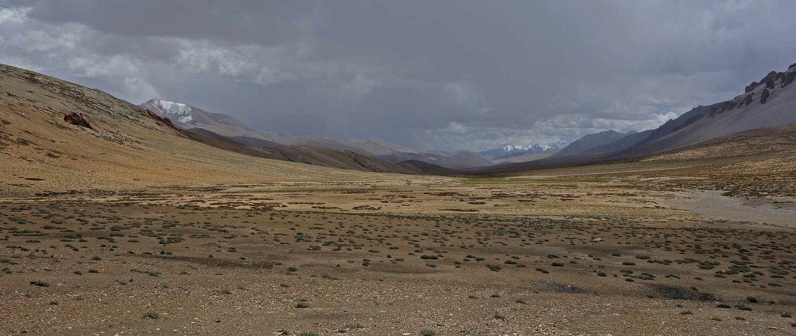
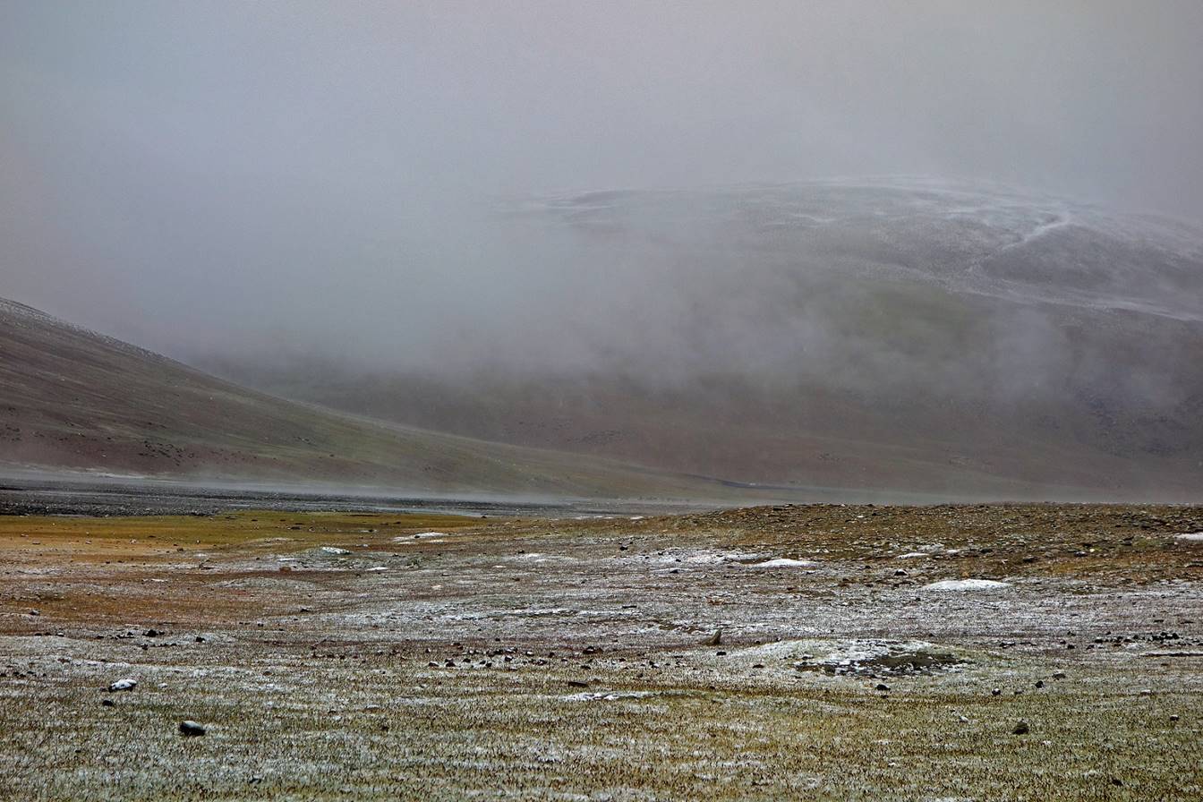
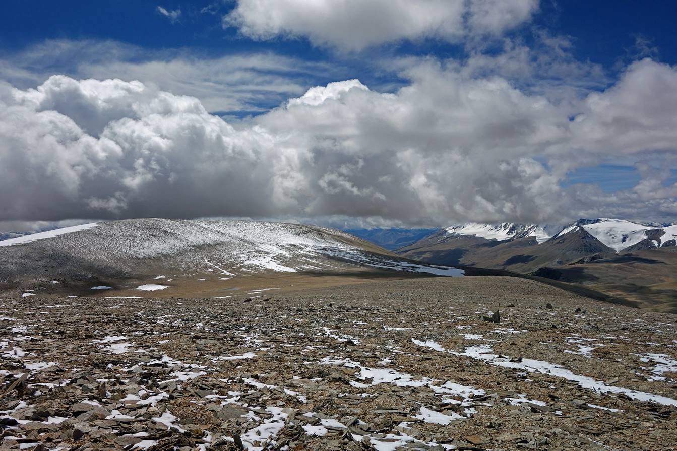
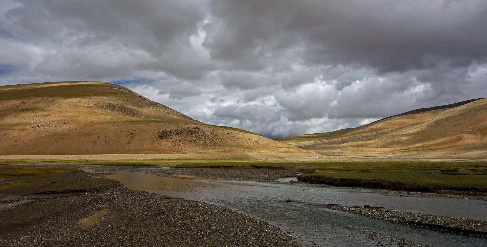
Late afternoon views of the Zogoang valley under a brewing storm, from C09.
Day 10:
View of the Zogoang
valley soon after leaving C09. We were lucky, the weather was good for crossing
the highest pass of the trek (Lanyar La, 5850m).
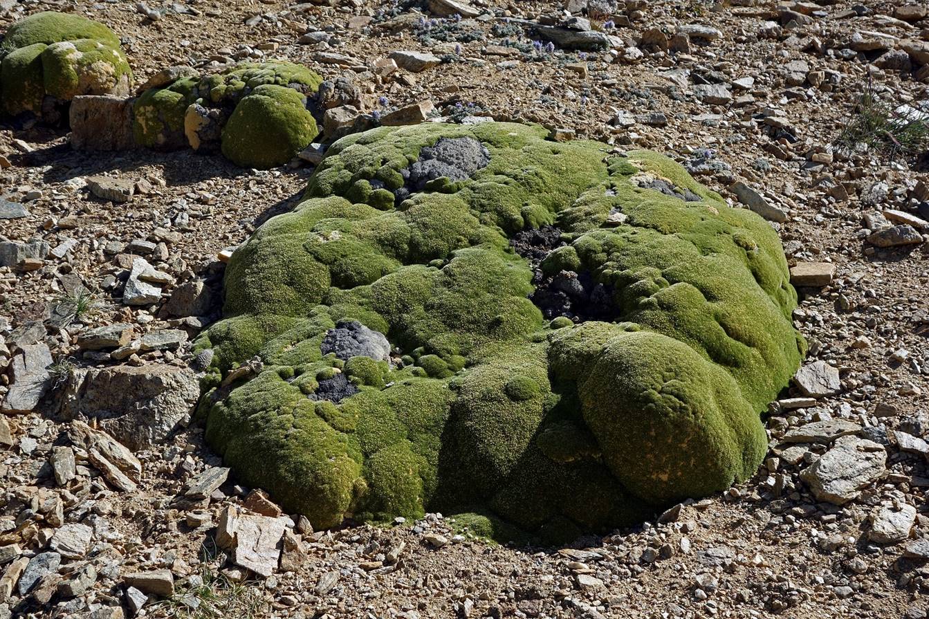
″Llaretas″
along the way. I thought llaretas grew only in the
Andes in South America (see here),
but I saw many of them during the ascent of Lanyar La
(as well as in some other places during the trek). Here, they probably have
another non-Spanish name.
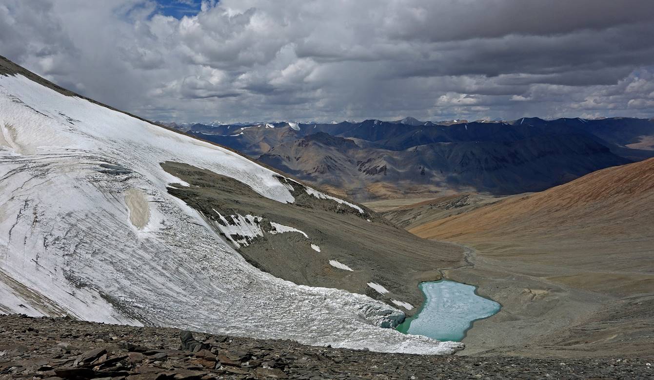
View toward the west during the ascent.
The small glacier on the western side of
the pass, with a small lake below.
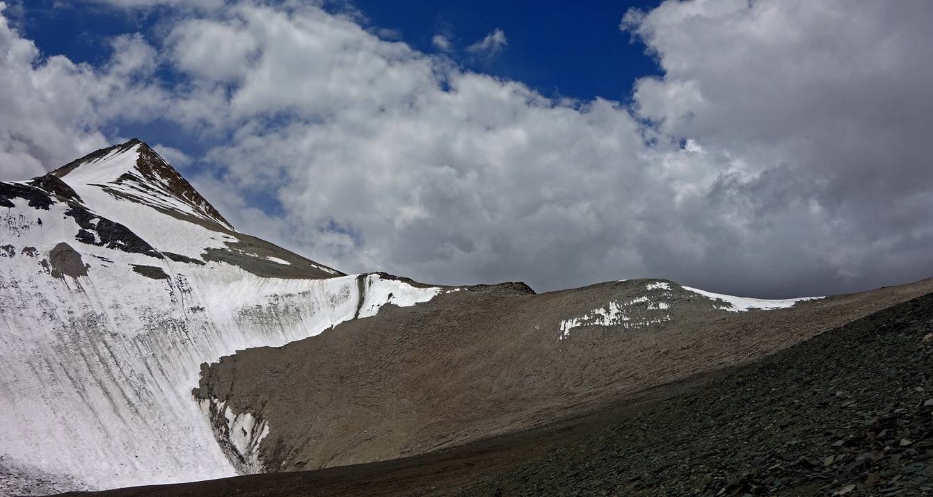
At the Lanyar
La (5850m). [Note: The Olizane 150K map places Lanyar La about 3.5km west of the pass we crossed, at the
same elevation. Tundup and Nurbo
confirmed that we crossed Lanyar La. It is possible
that the two passes bear the same name, since there is no significant summit
between them.]

Looking back at the pass at the
beginning of the descent.
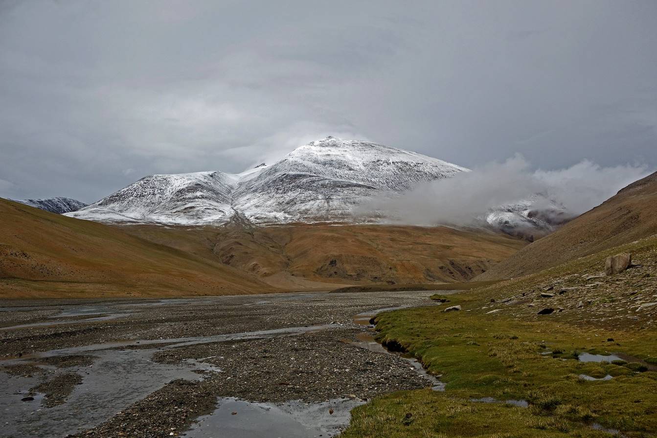
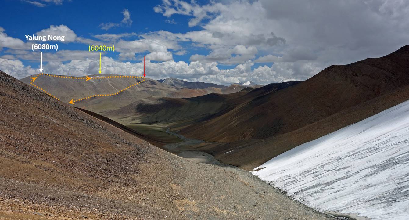
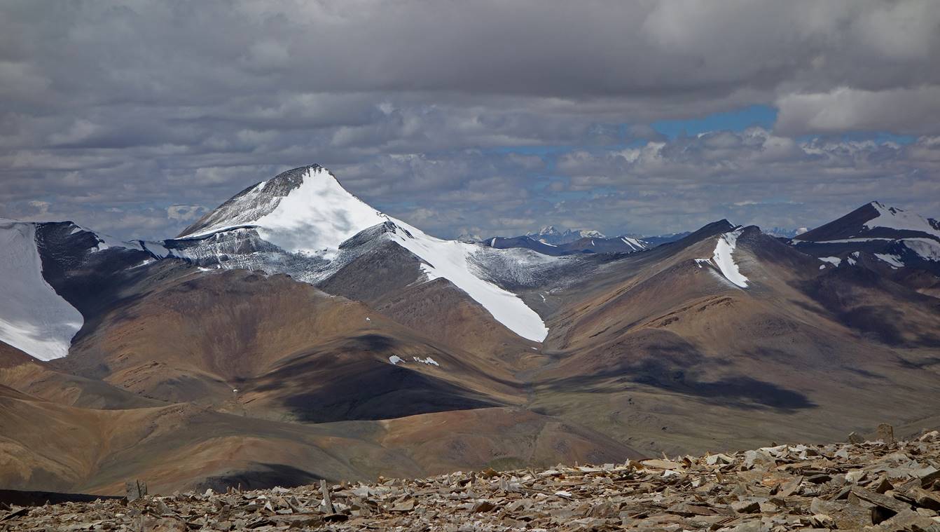
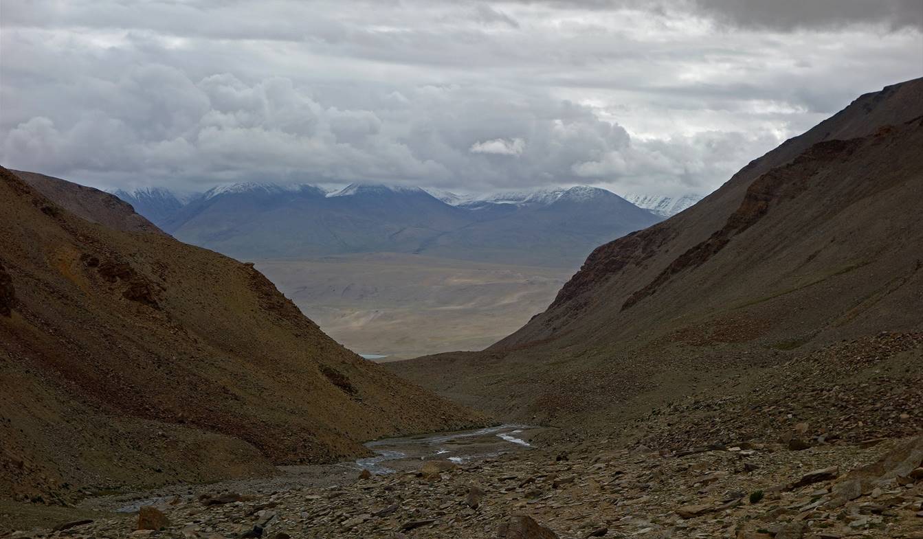
View over the valley below Lanyar La, with Yalung Nong (6080m) visible on the left of the photo.
Camp C10 below Lanyar
La.
Lanyar La seen from C10 (on the right-hand
side of the photo).
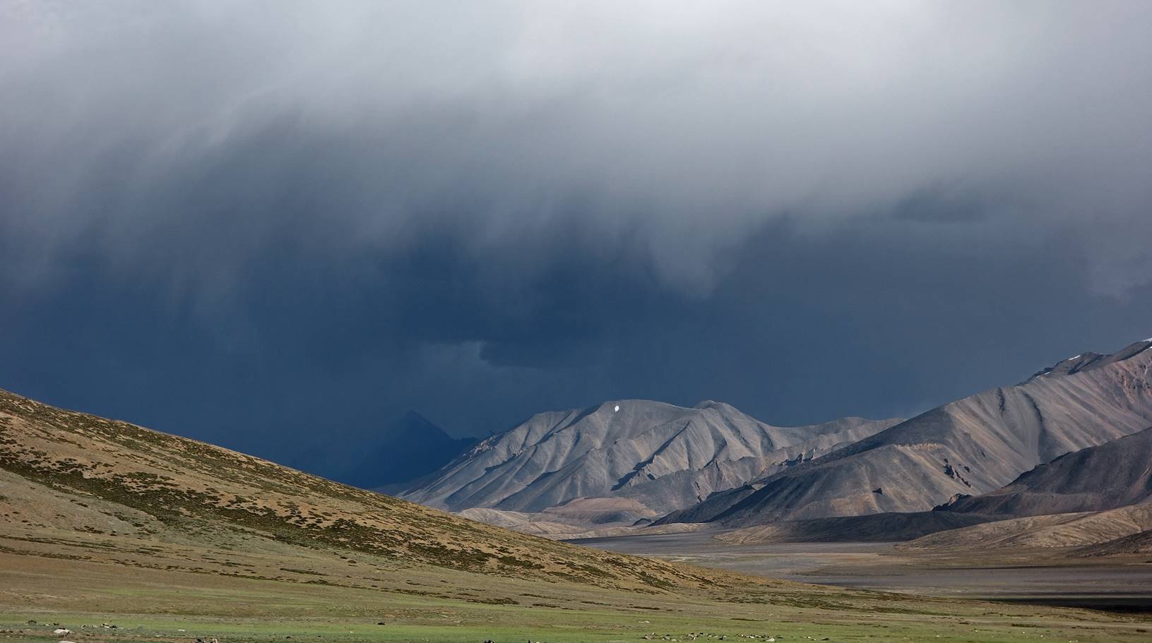
Evening colors on hills above C10.
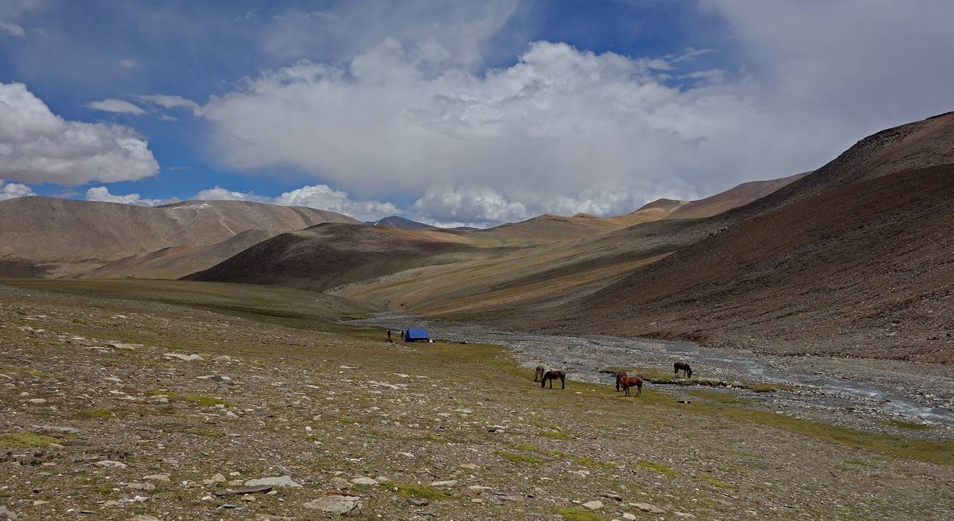
Day 11:
This was a very short hiking day, which
was not bad since the weather was not good. We set our camp C11 in the small Gyama valley just below Yalung Nong, which we had planned to climb on the next day. Gamya valley is on a rather popular trekking route between Rumtse and Tso Moriri. For the
first time since the beginning of the trek we saw some trekkers.
View of Gyama
valley under a thin layer of snow. The snow on the valley floor melted by
mid-day.
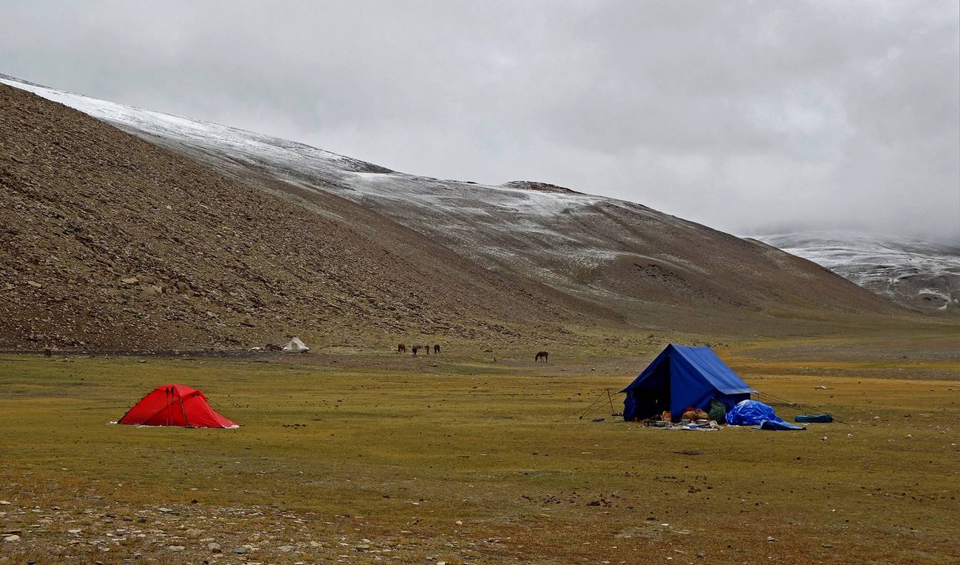
Our camp C11-12-13 (near a shepherd‛s
tent) at 5000m. We spent three nights there.
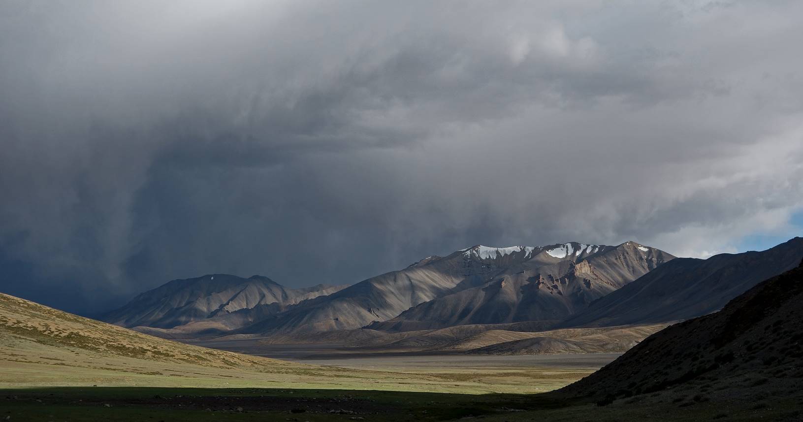
Views from our camp toward the north.
Evening views toward Lanyar
La (in the center of the photos, but not visible) from the camp.


View toward Lanyar
La at dusk.

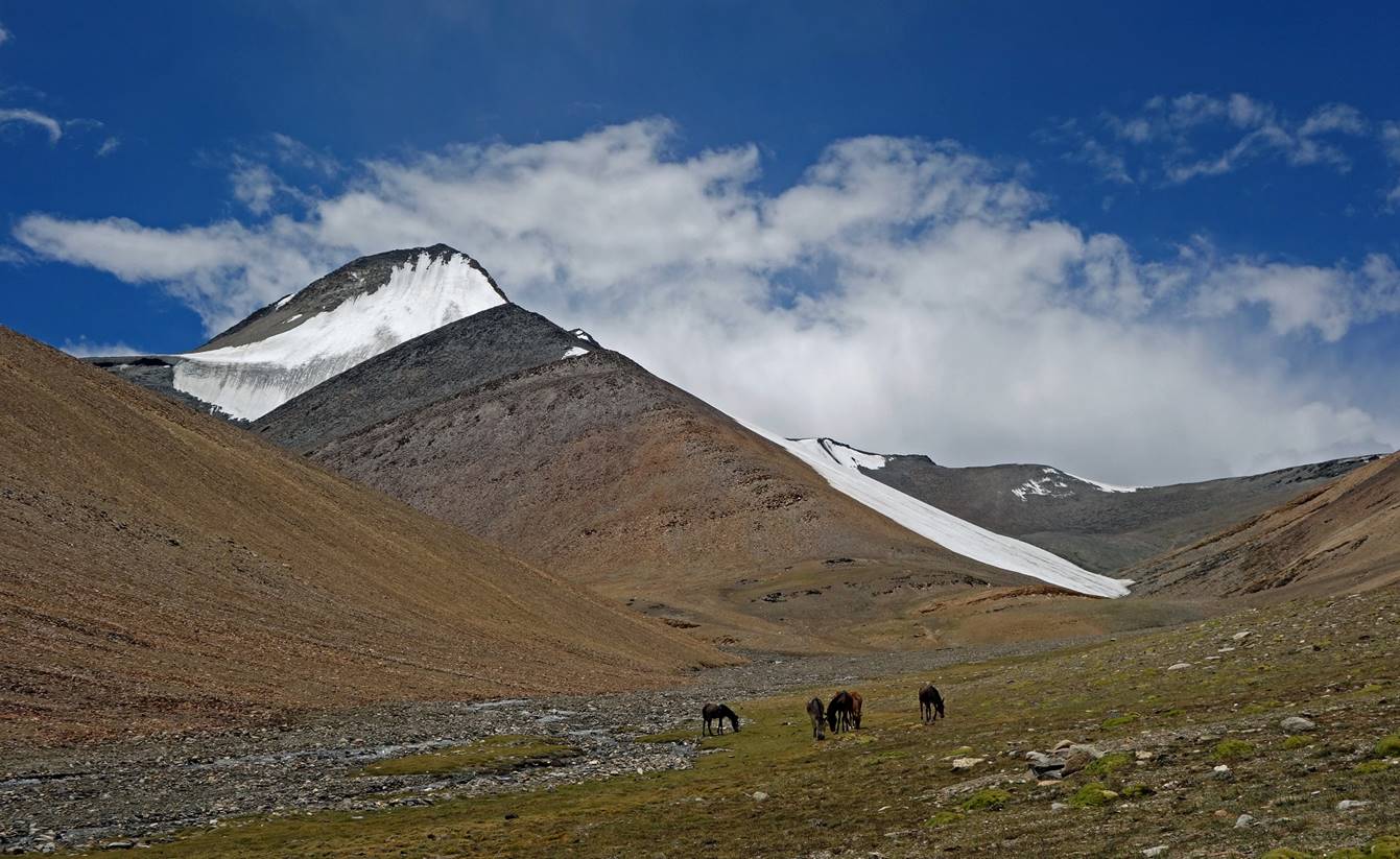
Day 12:
On that day Tundup
and I climbed Yalung Nong
(6080m), then hiked to the location marked with a red arrow in the picture
below where Tso Moriri (lake) and its surrounding
mountains are visible. We were lucky again with good weather most of the day.
View toward Lanyar
La from our camp on the cloudless morning.
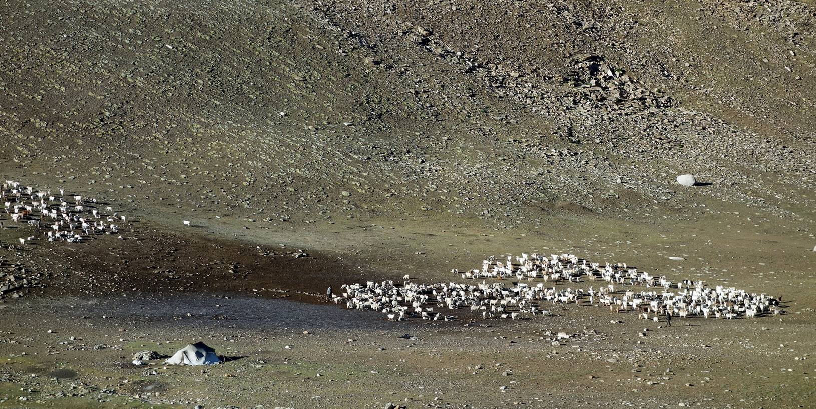
Sheep/goat herding near our camp.
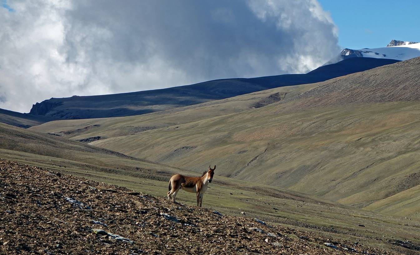
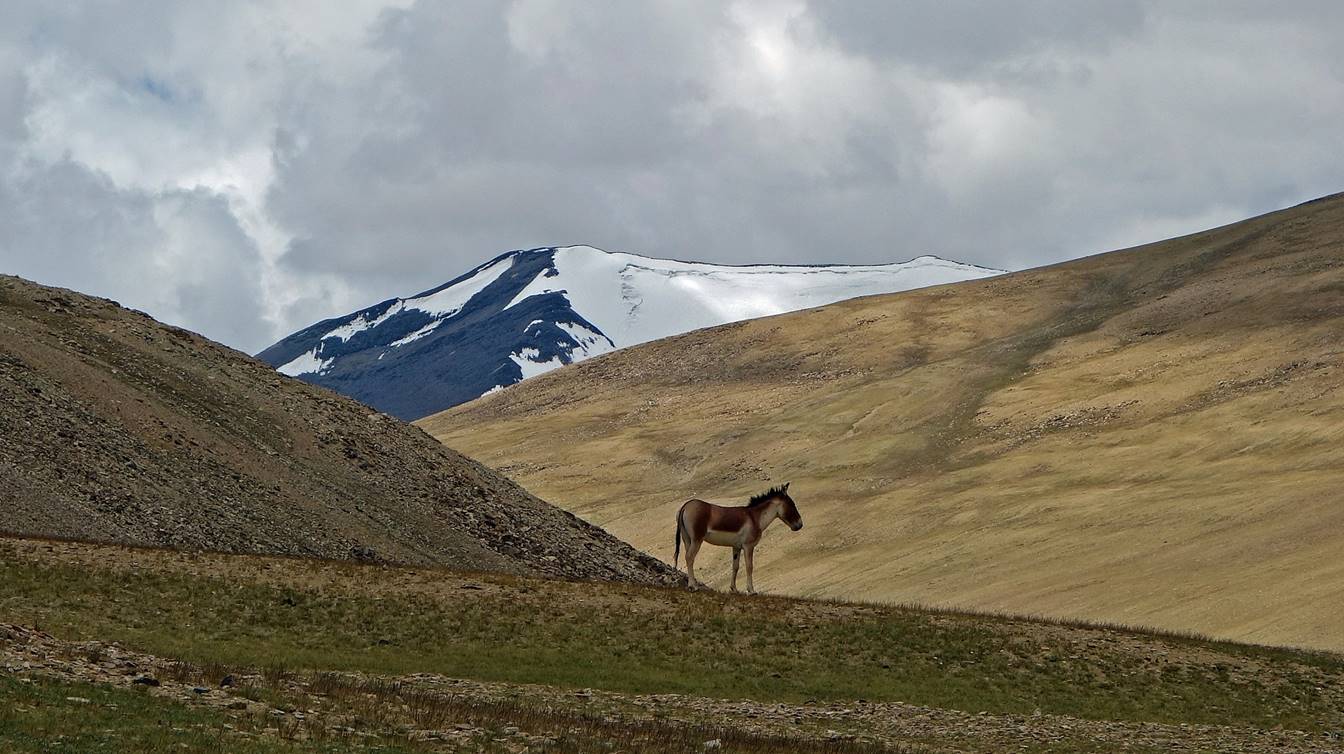
Kiang on the way up toward Yalung Nong.
View over the Korzog
range during the ascent, with Lanyar La visible on
the right of the picture.

View toward the south from the summit of
Yalung Nong. Tso Moriri is out of sight, hidden by a slightly smaller summit
further south.
View over the Korzog
range from Yalung Nong.
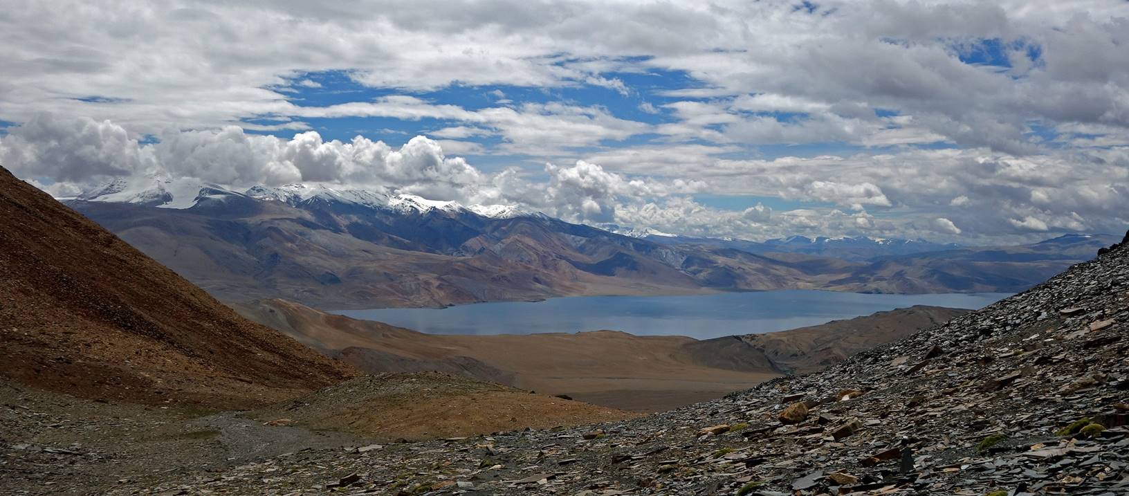
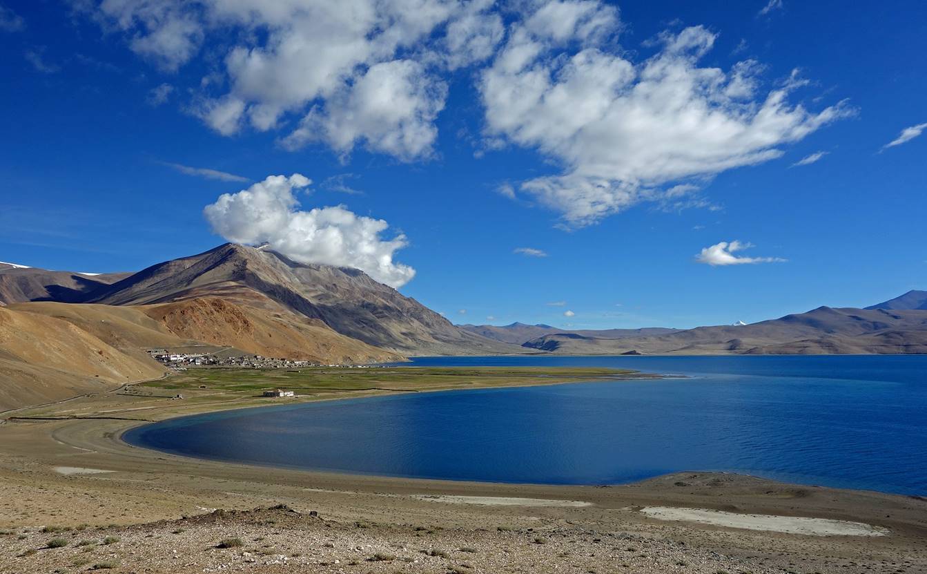
Tso Moriri
seen from the location marked with a red arrow in the first picture of Day 12.


Yet another view of Lanyar
La at the beginning of the descent back to our camp C11-12-13.
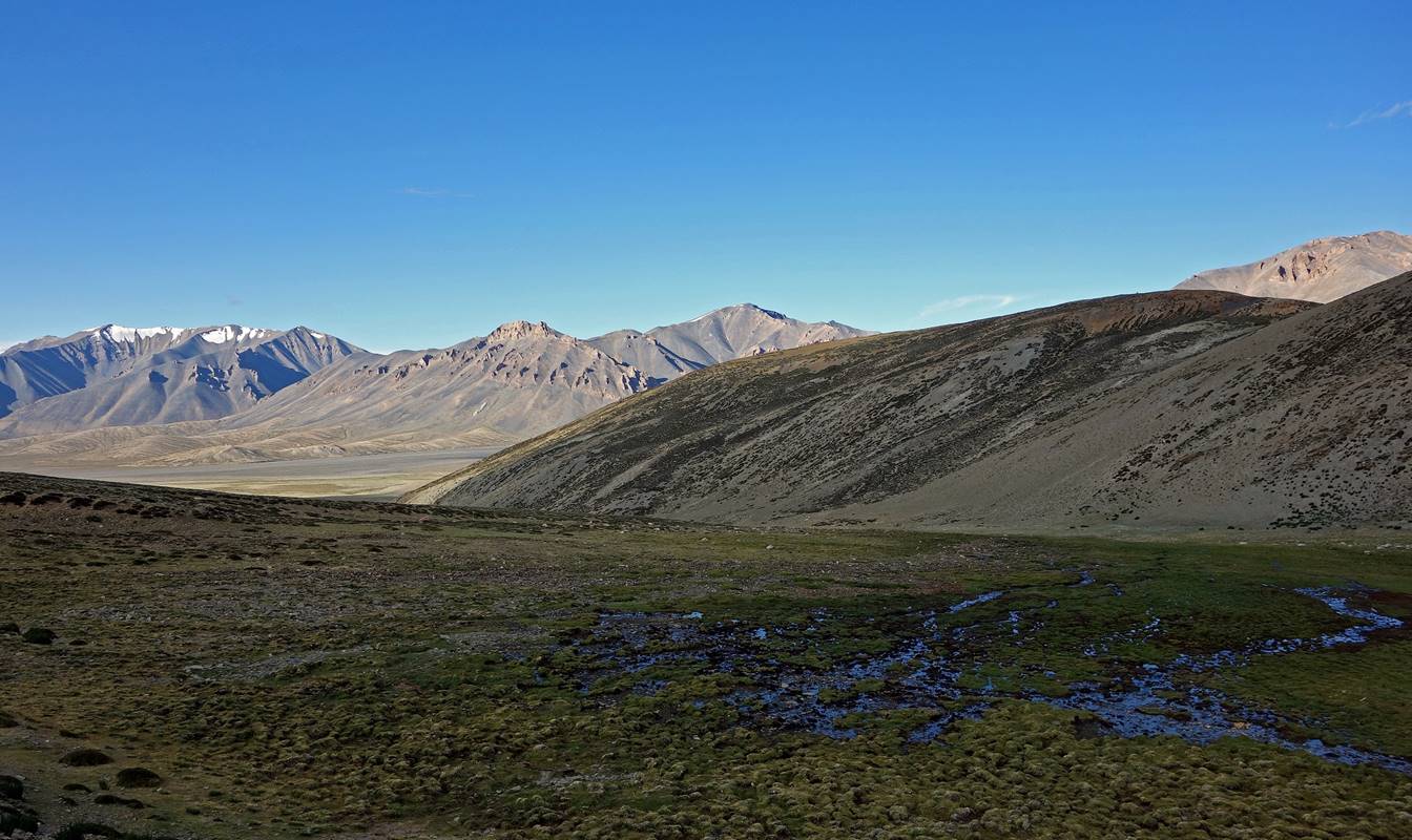
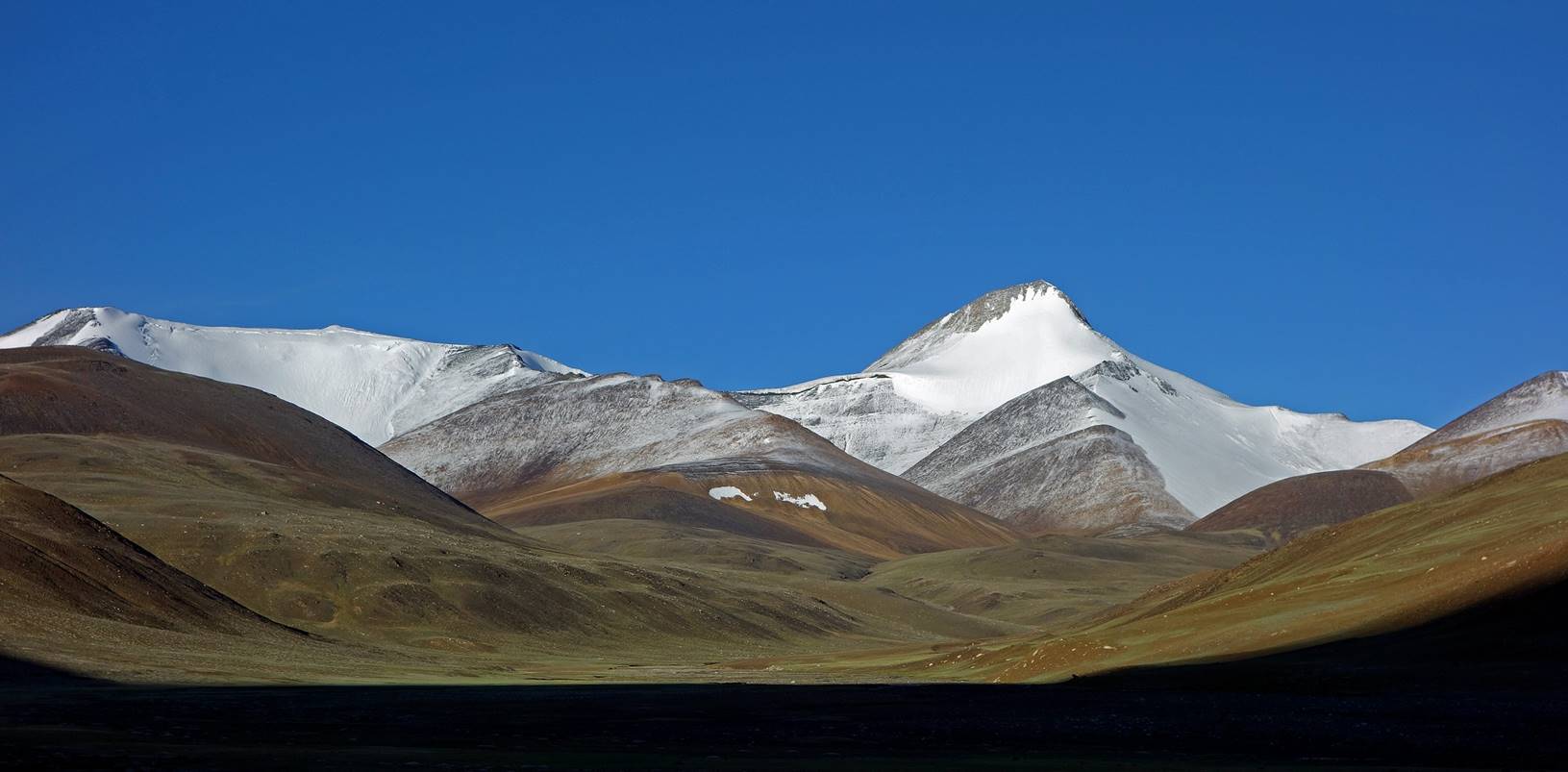
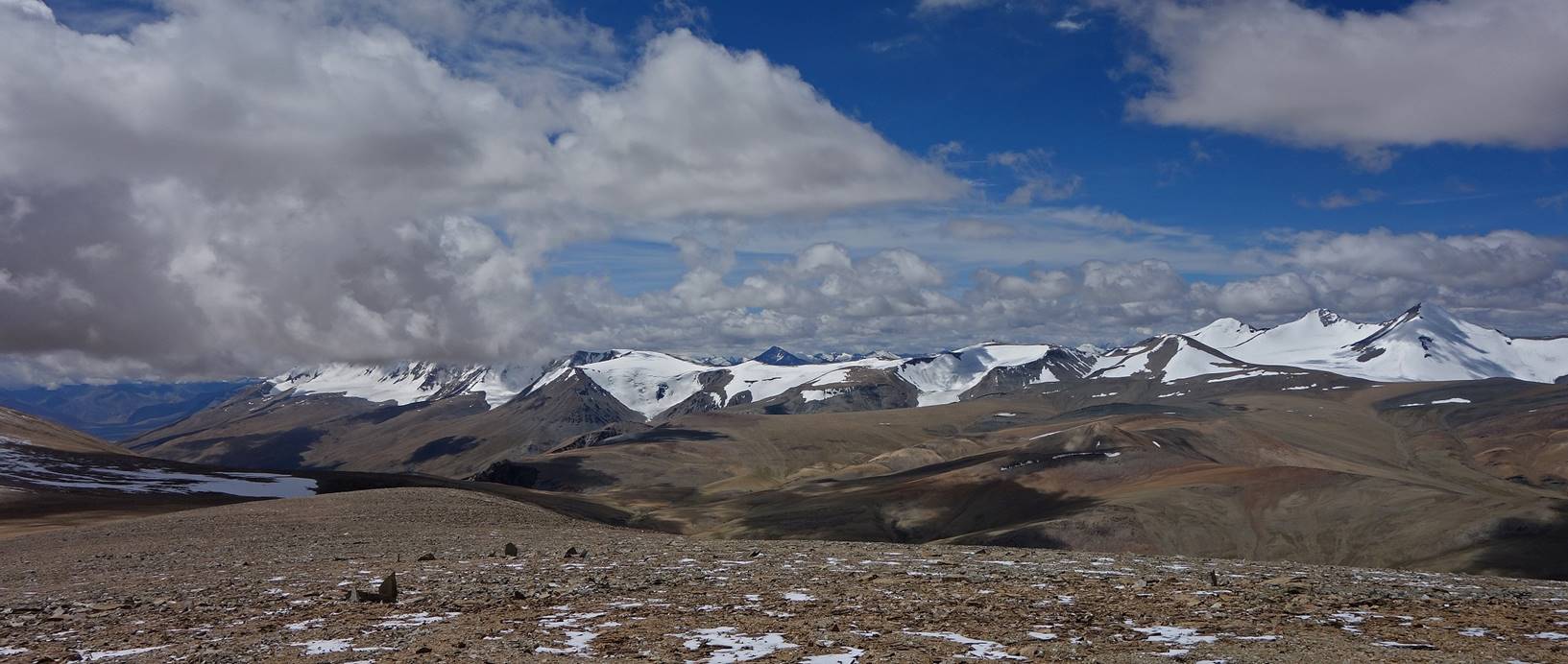
The Korzog
mountain range seen during the descent. Yalung Nyau La, which we will cross on Day 14, is at the left end
of the small canyon visible at the bottom of the photo.
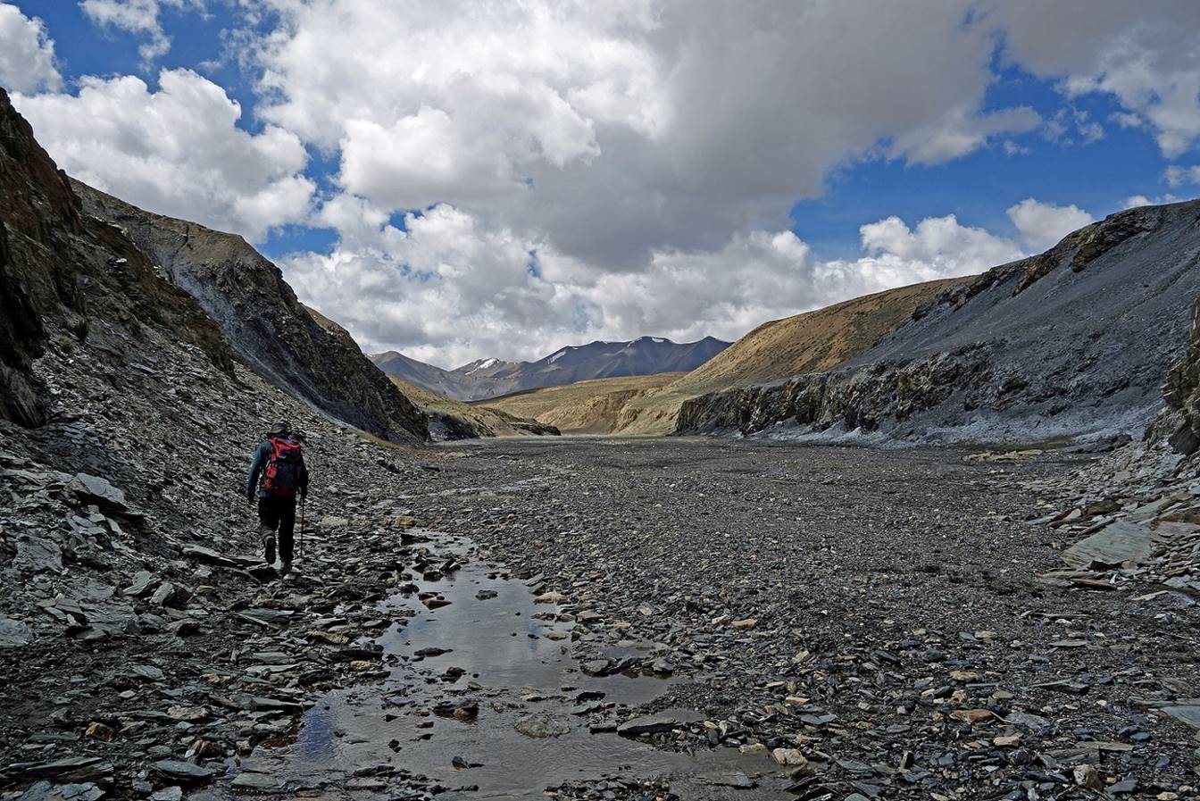
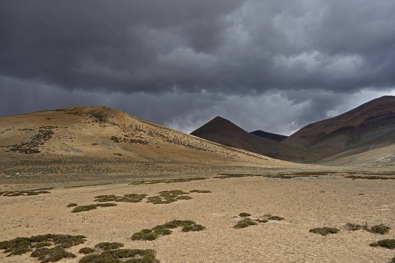
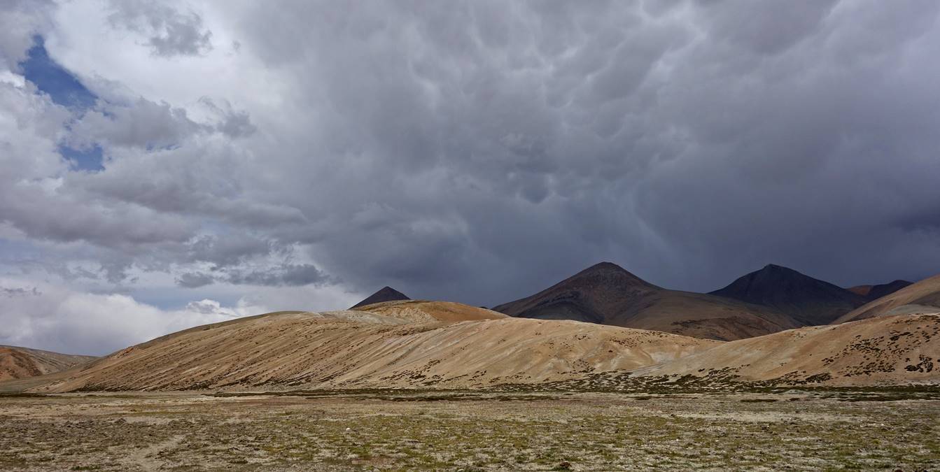
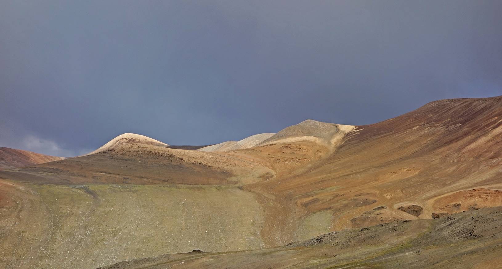
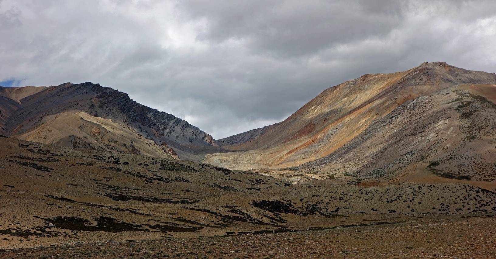
Day 13:
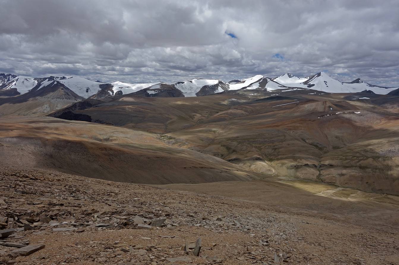
On that day I hiked with Tundup north and east of our camp to a place named Slangnak in the valley of Kyagar Nugma (see map at the top of the page).
Landscapes along the way were fine, but
not spectacular.

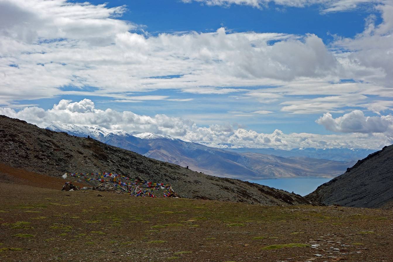
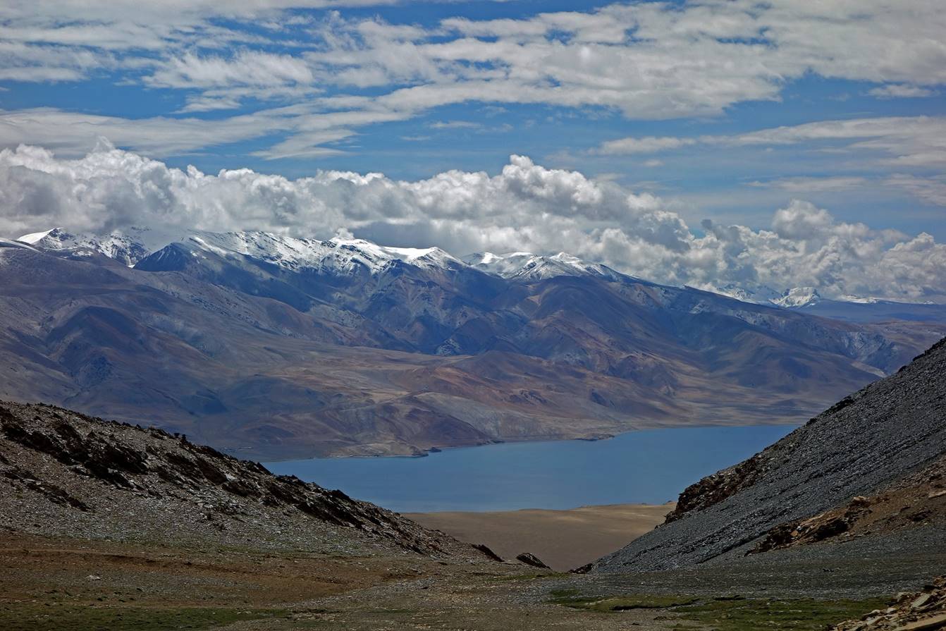
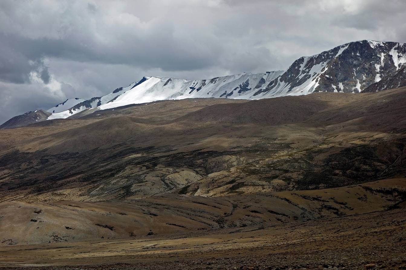
View over the mountain range located on
the northeastern side of Tso Moriri. The small lake
partially visible below the mountain range is Kyagar Tso.
The mountain range is less than 15km away from the Tibetan border.
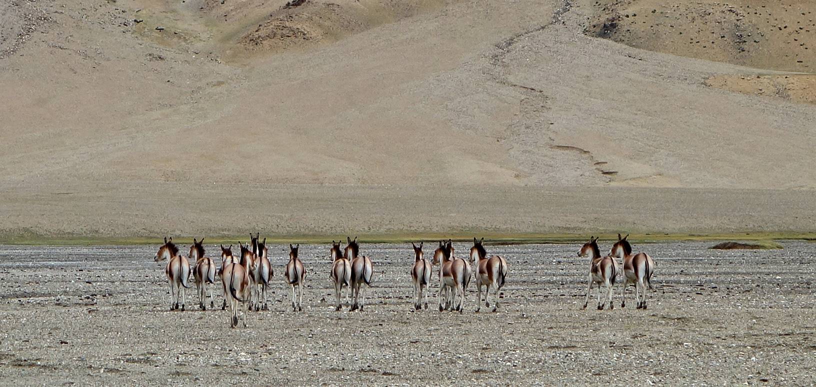
The numerous kiangs that we saw on that
day were the main attraction (for me). Kiangs
are elegant and beautifully colored wild Tibetan asses. There are not
especially large (with an average shoulder height of 140cm), but they are very
strong. They need it to fight wolves.
Like many animals they are quite curious
(especially when they are in groups and therefore less easily scared)...
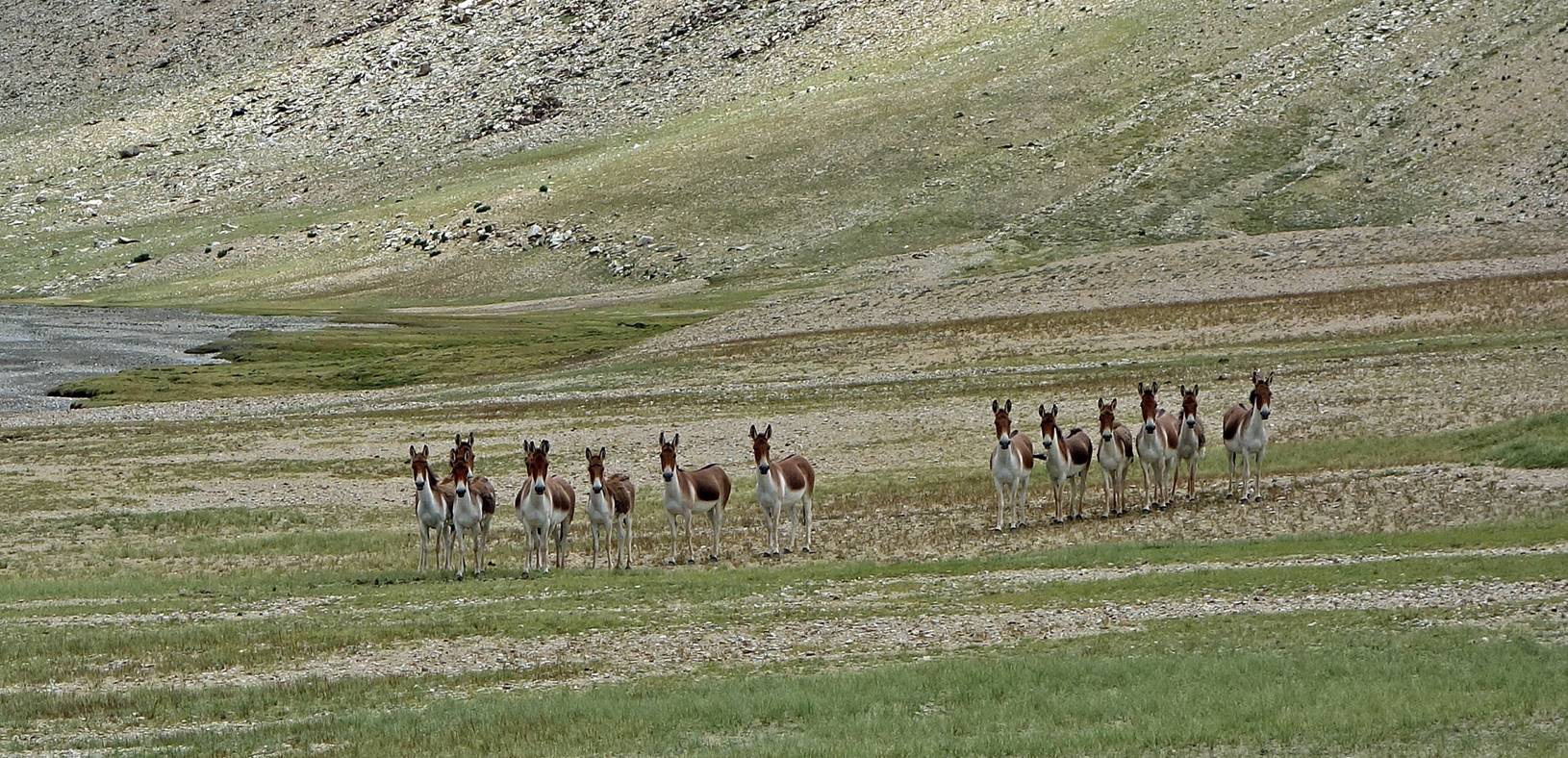
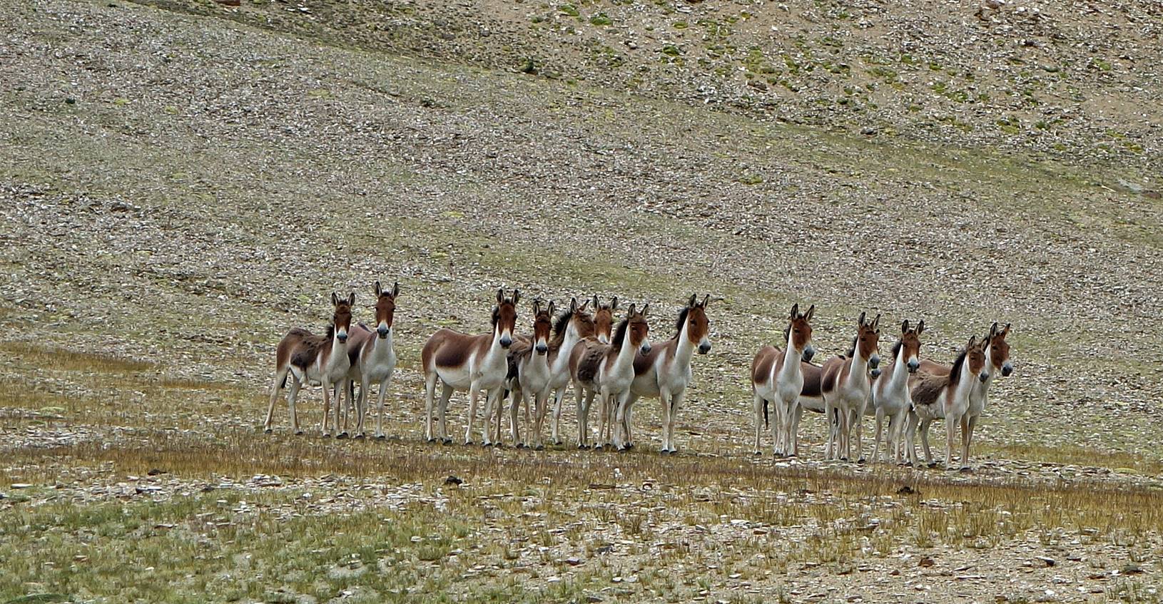

...but they very well know how to tell
you when they are no longer interested!
Day 14:
On that day we crossed Yalung Nyau La to reach the
village of Korzog on the western shore of Tso Moriri, the first and only inhabited village of the entire
trek (other than Kibber at the very end). We set Camp
C14 in a small canyon a short distance from the village. I found Korzog a bit depressing. It is dirty and dusty, but set in
gorgeous surroundings. The village seems under the control of Buddhist monks,
who should perhaps be called Buddhist racketeers. They made my guide Tundup, hence me, pay a fee (more exactly, a mandatory
contribution) for most of our camps during this trek (not just C14). We were
told that if we did not complied, ″bad things could happen to us″.
During the long winter season the village is very isolated and the life of its
inhabitants must be extremely difficult.
At Yalung Nyau La (5430m).
Views of Tso Moriri
at the beginning of the descent from the pass.
Looking back at Yalung
Nyau La from further down.
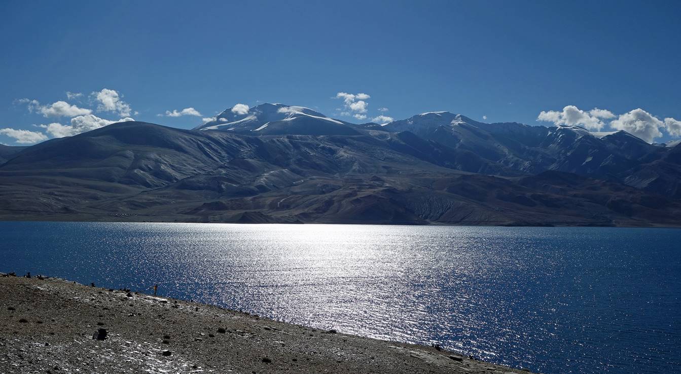
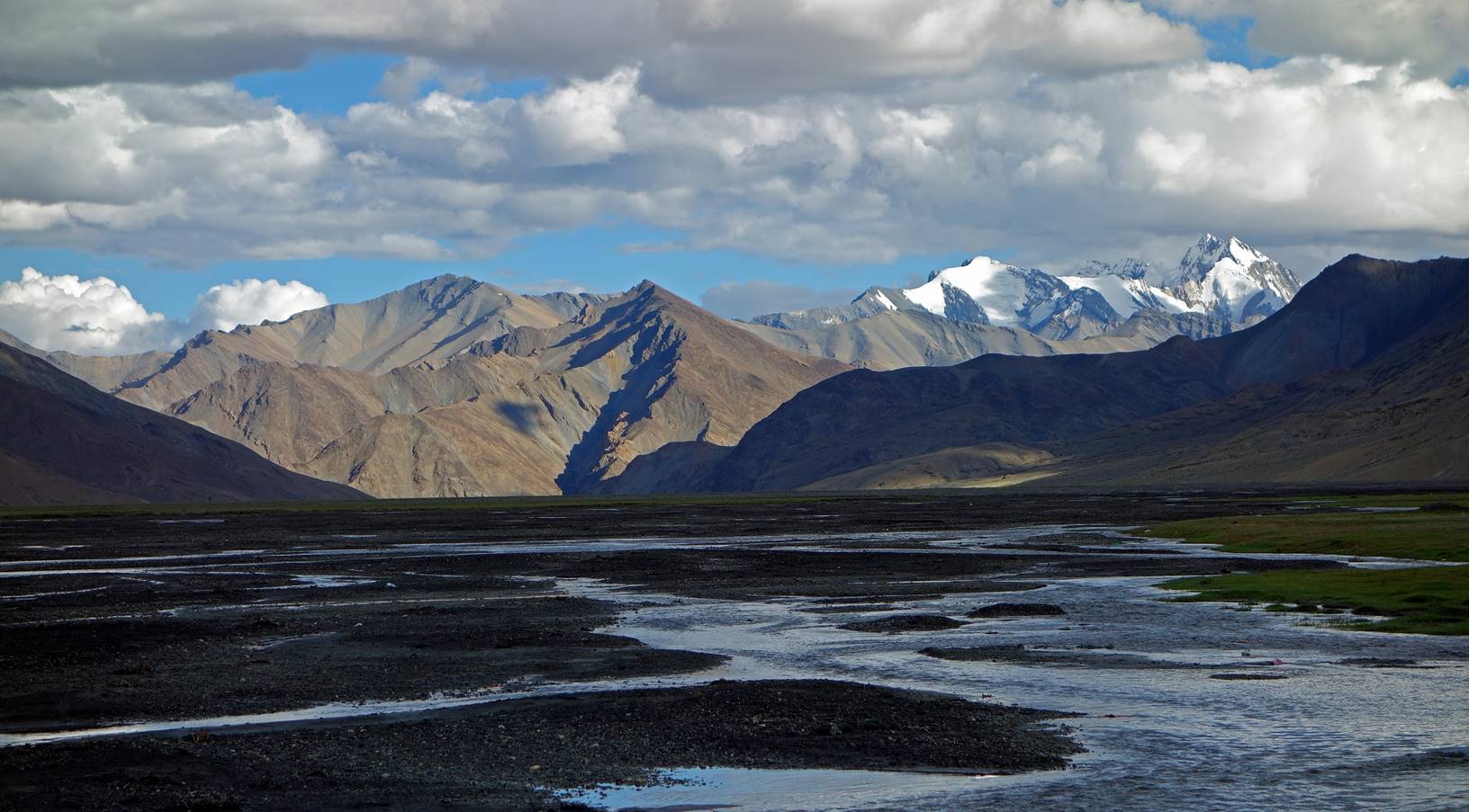
Korzog mountain range with the Mentok peaks.
Mountain range on the other (eastern)
side of Two Moriri.
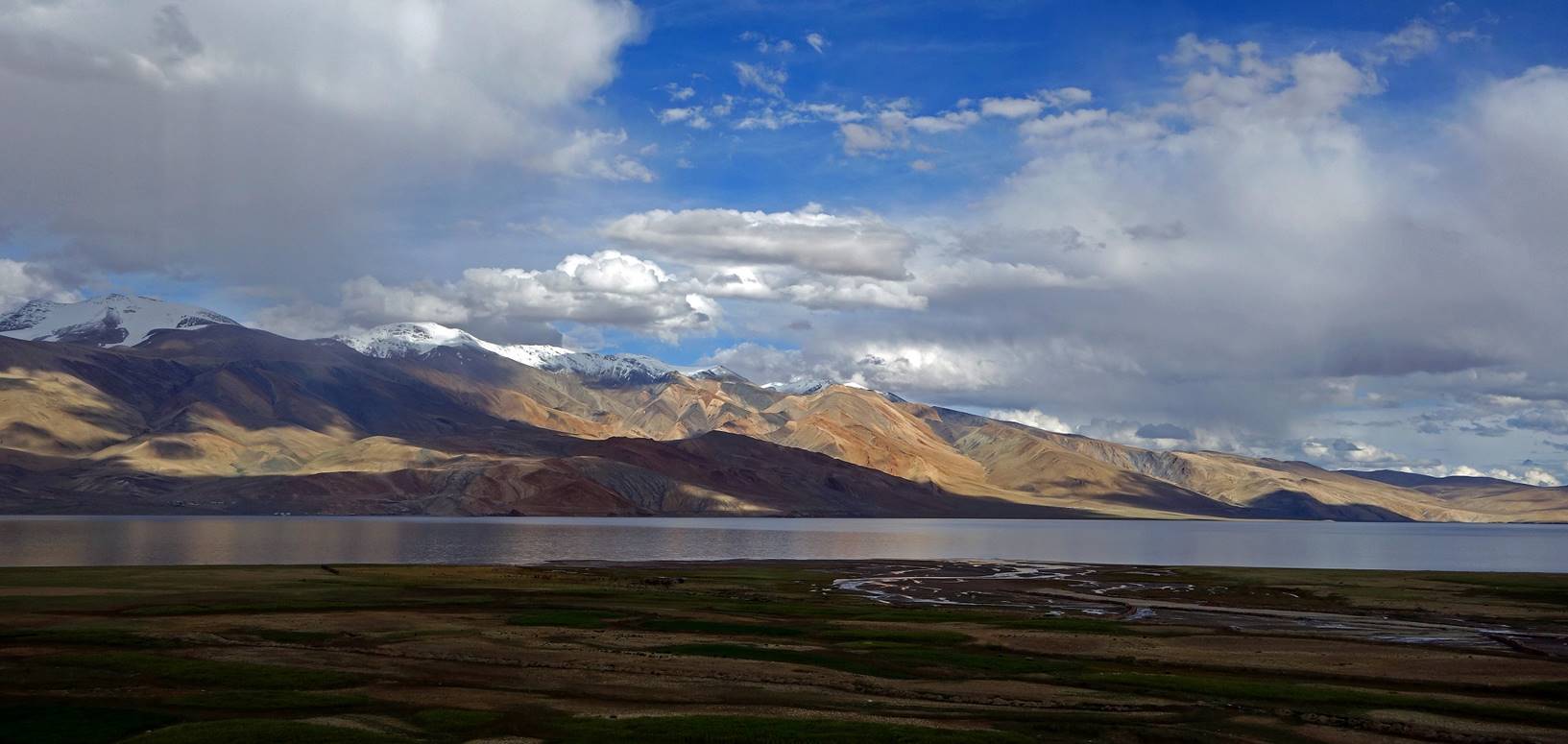
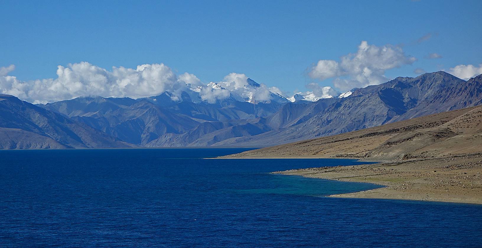
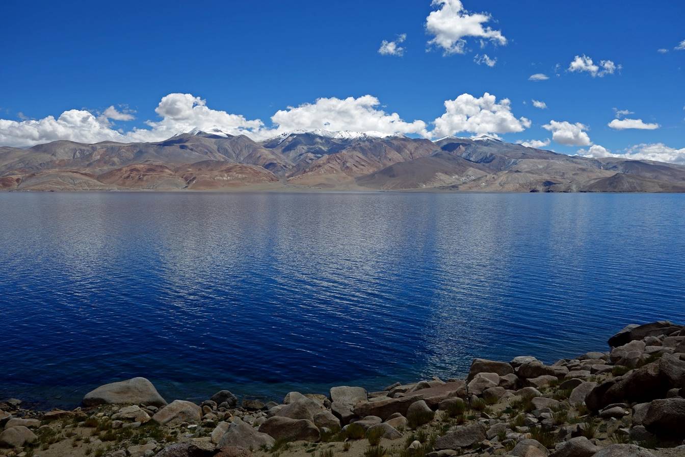
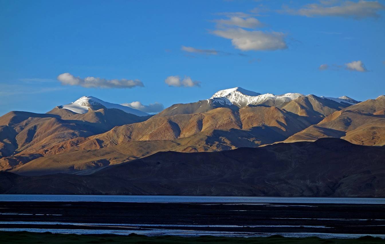
View of Tso Moriri
from Korzog.
In Korzog we
got a new horseman (the younger brother of the former) and new horses. A
Mahindra Jeep sent by Sonam Dawa
also brought us more food, including fresh vegetables.
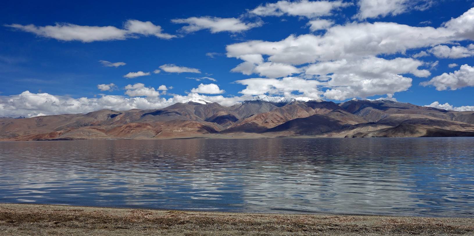
Day 15:
We walked along the western shore of Tso
Moriri to the southern tip of the lake. We set Camp
C15 at a place called Kiangdam (which literally means
″kiang‛s place″).
View of Korzog.
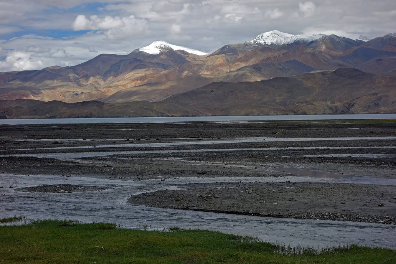
Morning sunlight reflection on the lake
and mountains on the eastern side of the lake.
Western shore of the lake.
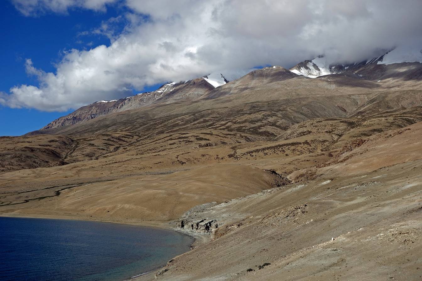
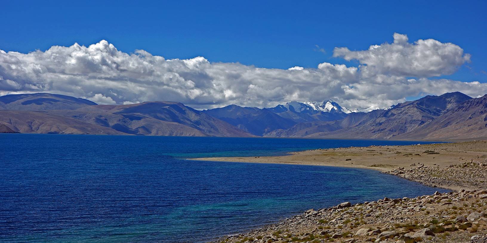
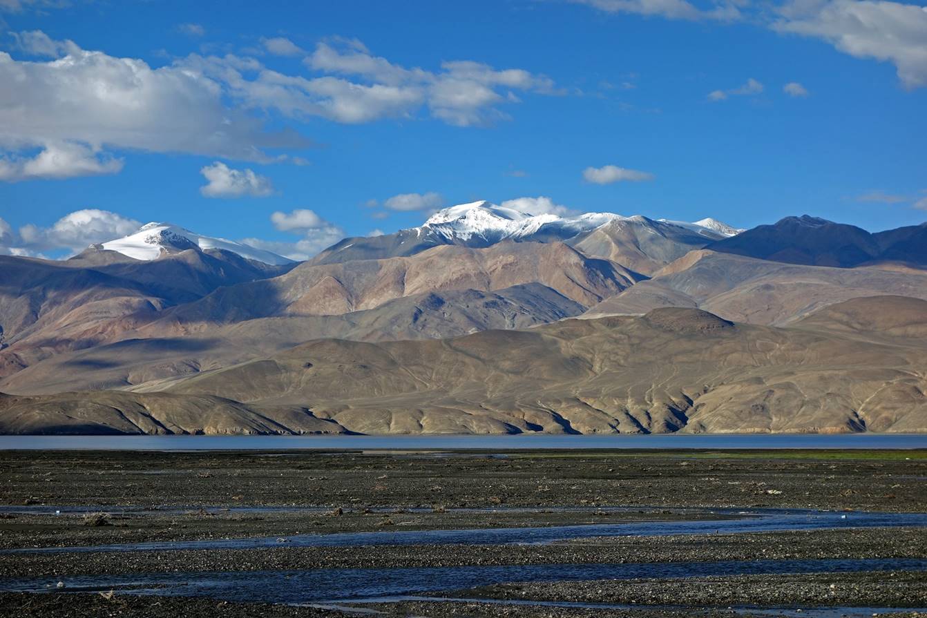
Views across the lake toward the eastern
side.
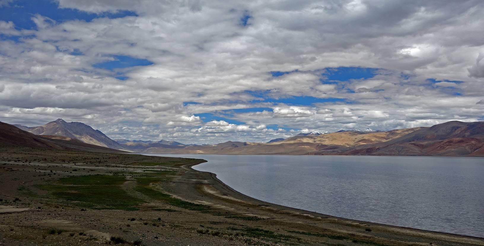
View toward the north from the southern
end of the lake.
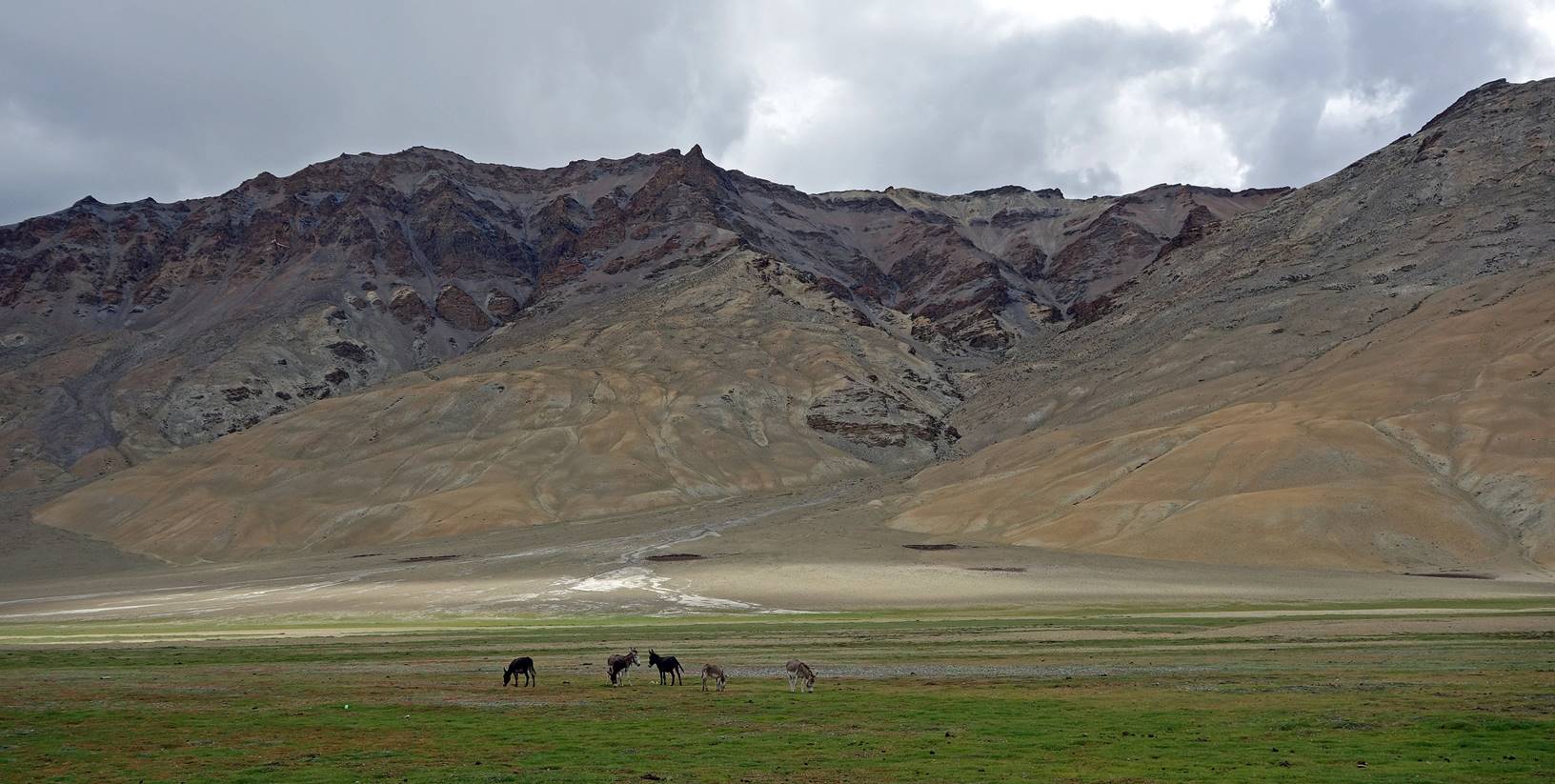
Domestic donkeys in Kiangdam,
where we established Camp C15.
Views toward the south from C15.
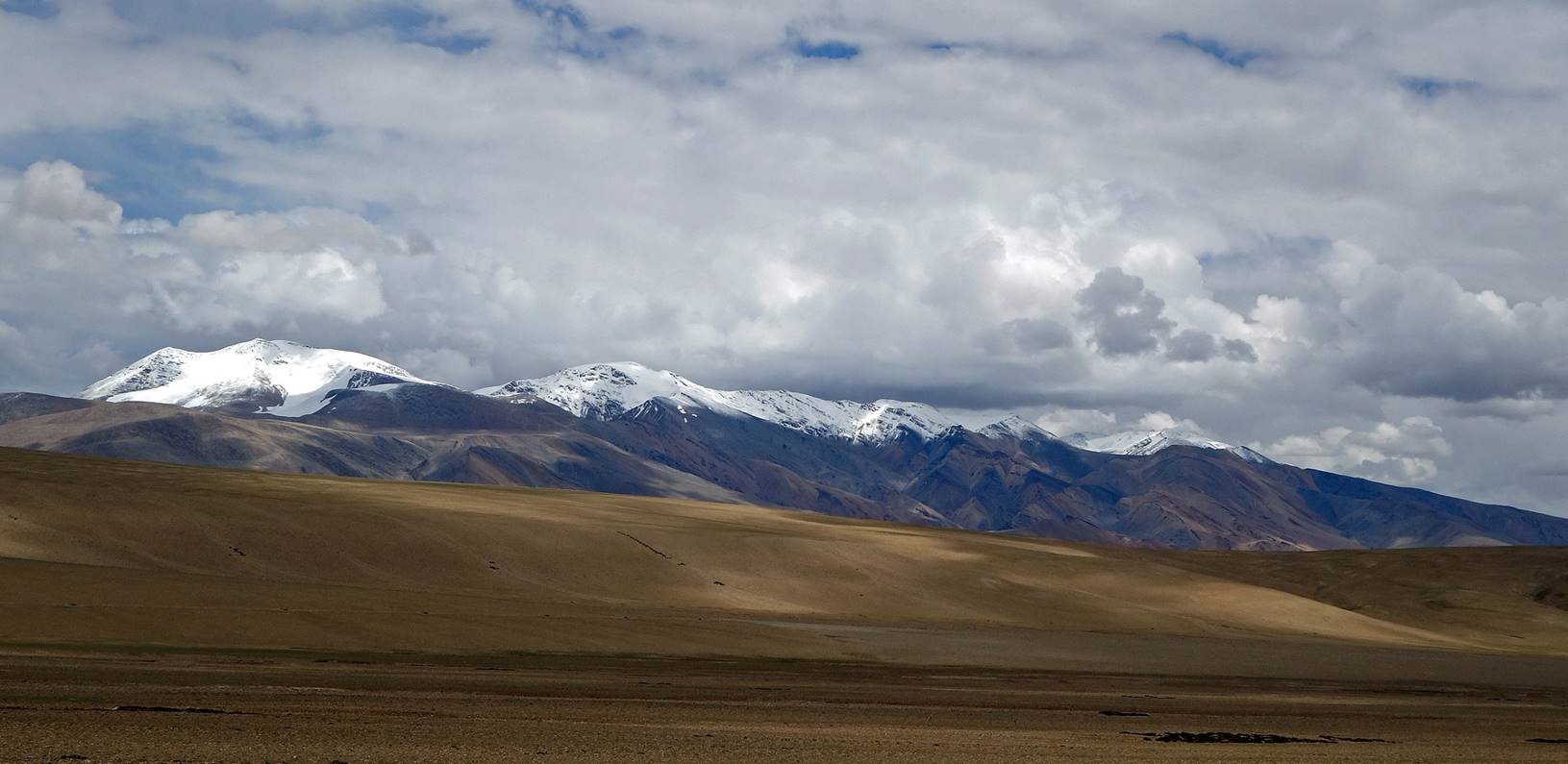
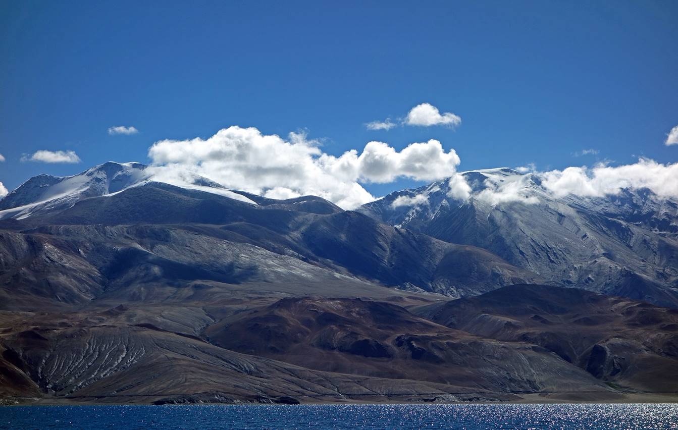
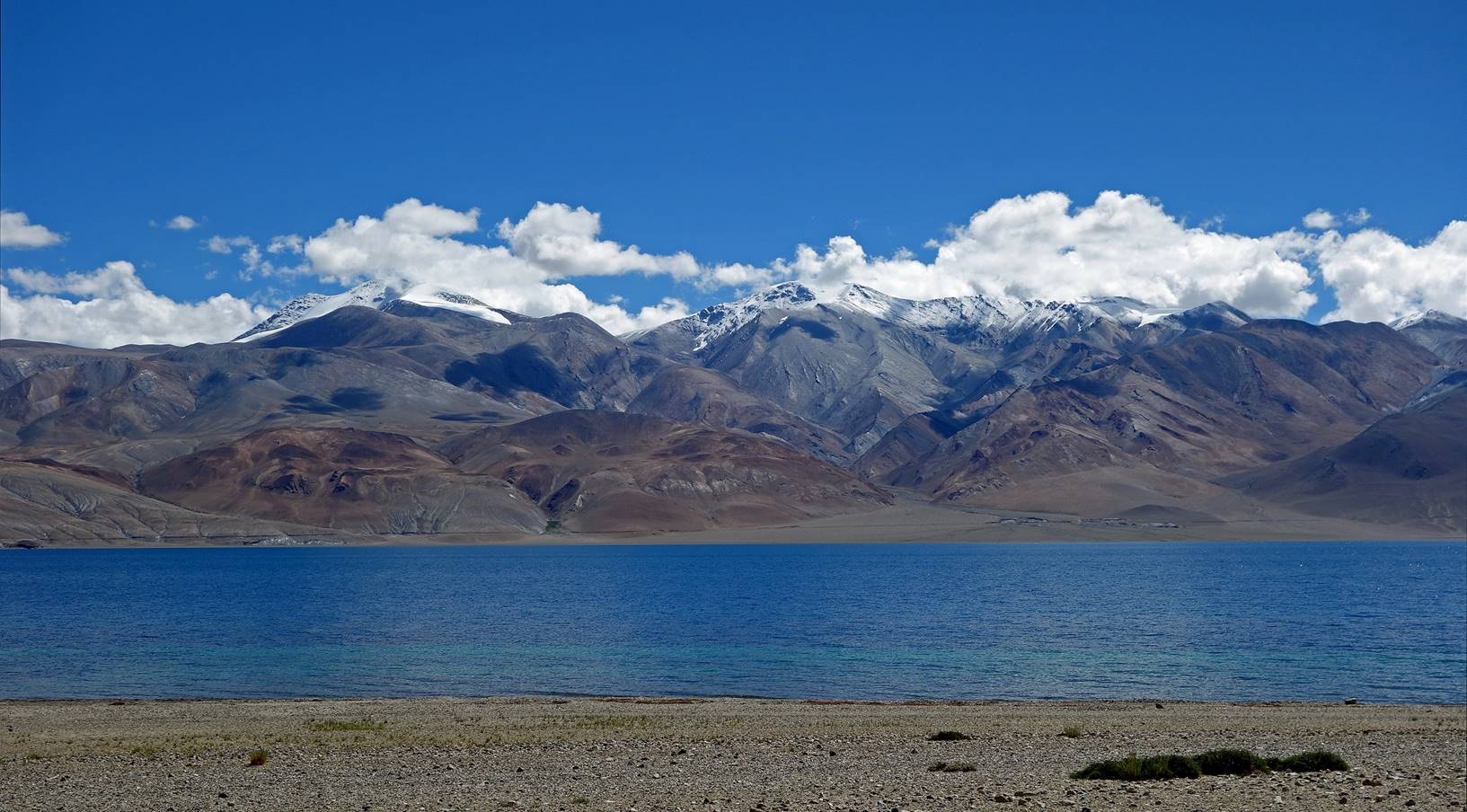
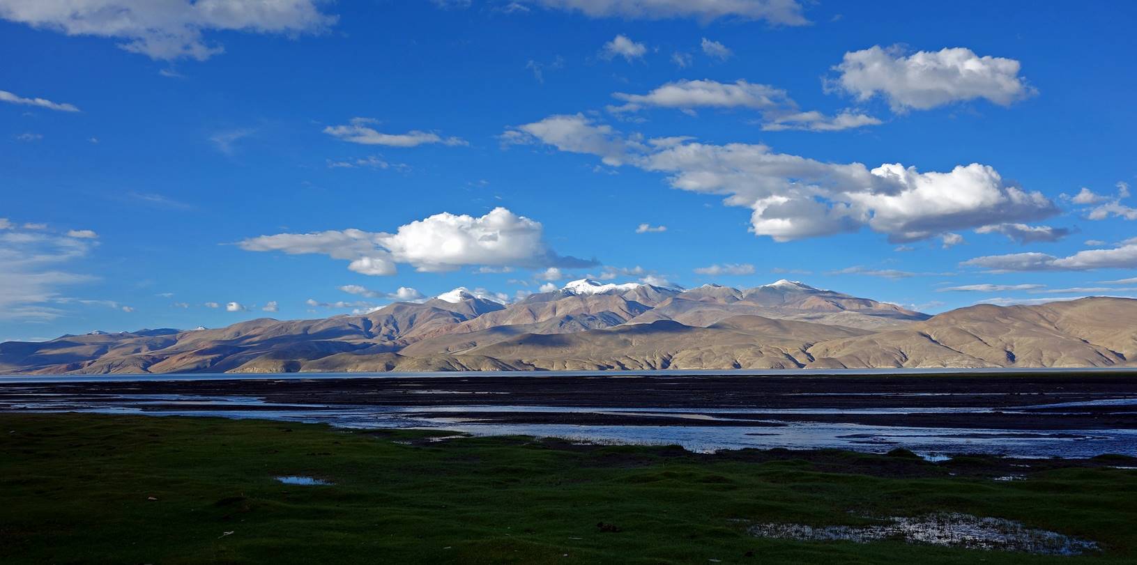
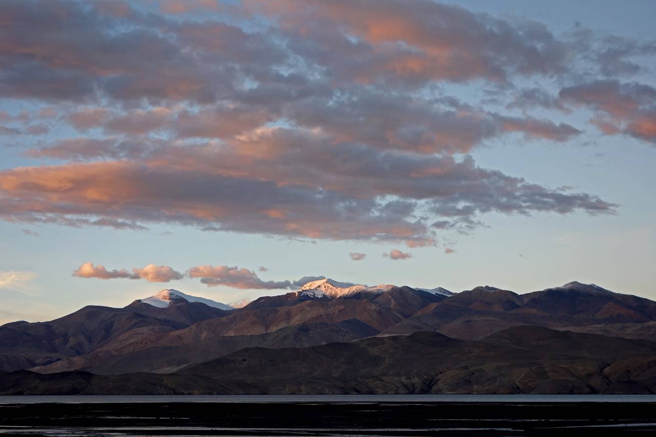
Successive views toward the north-east
from C15 in the afternoon and evening, as the sky was clearing up. The two
snowy peaks are Chamser Kangri
(6600m) on the left and Lungser Kangri
(6650m) on the right.
![]()