India (July-August 2016): Brandy Nala (Ladakh) to Kibber (Spiti)
Days 16 to 21: Kiangdam to Kibber
![]()
Return
to main India-2016 webpage
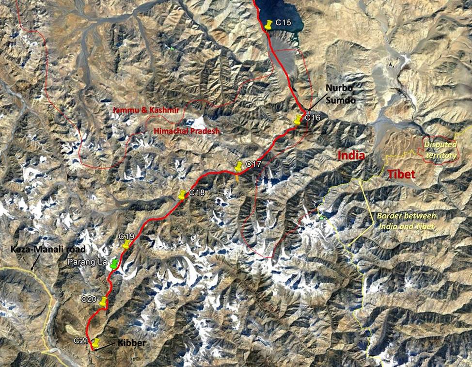
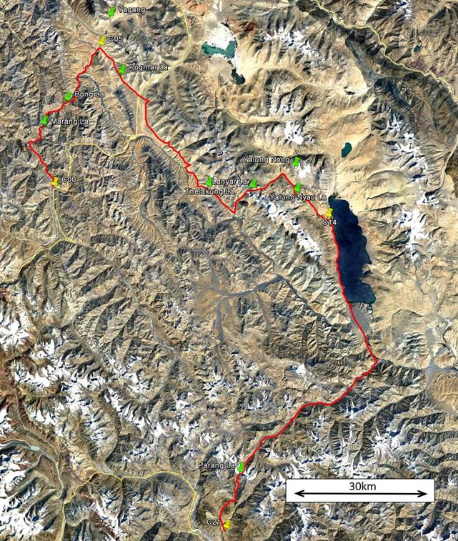
Left: map of this section. Right: map of
the entire trek. [Click here
(kmz file) to see the itinerary in Google Earth.]
|
|
|
Day 16:
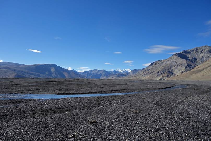
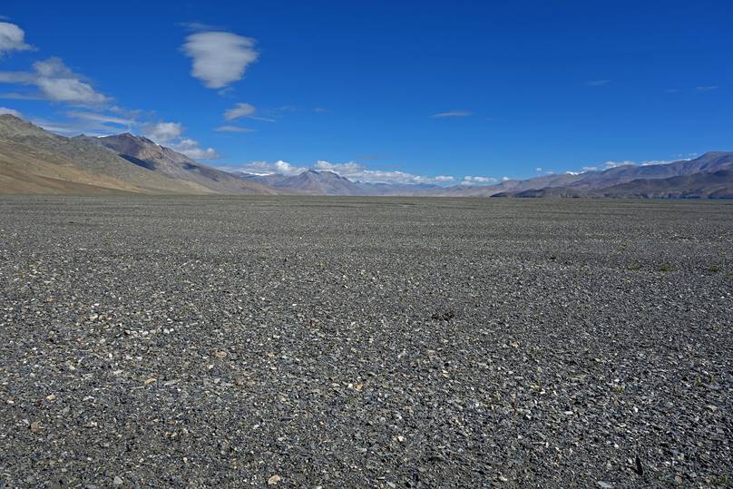
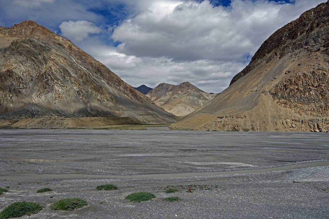
On that day we followed a wide valley
oriented north to south, between Kiangdam and a place
named Nurbo Sumbo. ″Sumdo” designates a place where two valleys merge into a
third one. At Nurbo Sumbo,
the valley that we had followed merges with the valley of Parang
Chu, a river that has its source on the northern slope of Parang
La and that we will follow during the following 3 days. At this junction Parang Chu‛s flowing direction bends from north-east
to east into the ″new″ valley. A few kilometers further it enters
Tibet. We set Camp C16 slightly beyond Nurbo Sumdo (in the direction of Parang
La) after fording Parang Chu.
Leaving Tso Moriri.

Left: View toward the south. Right:
Looking back later toward the north.
|
|
|
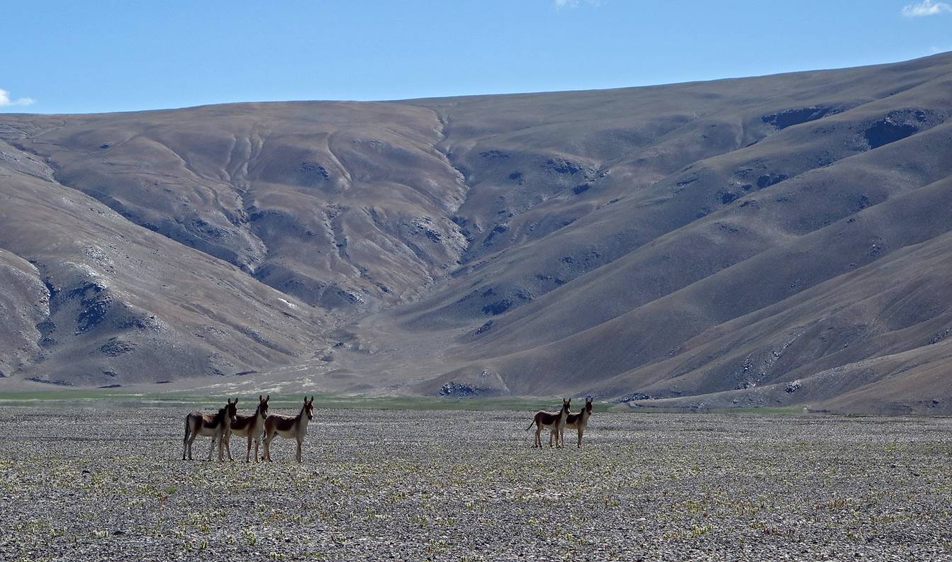
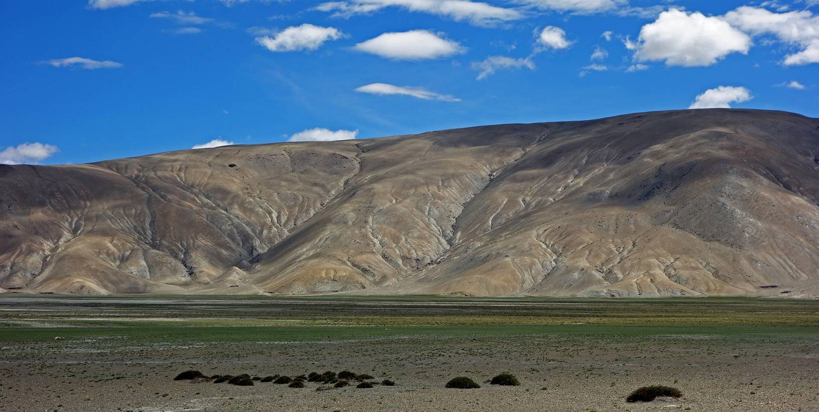
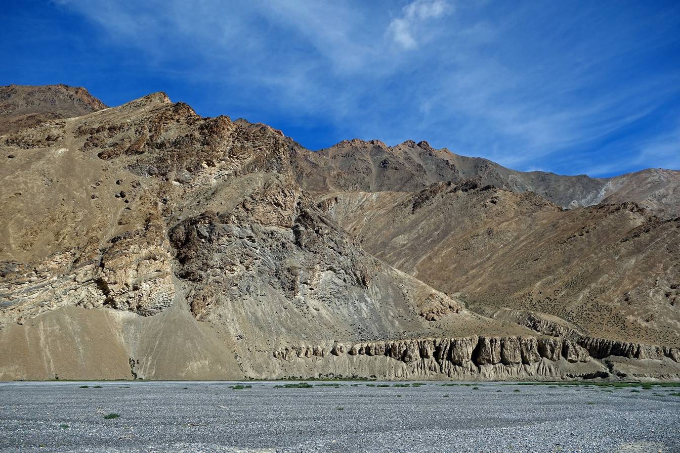
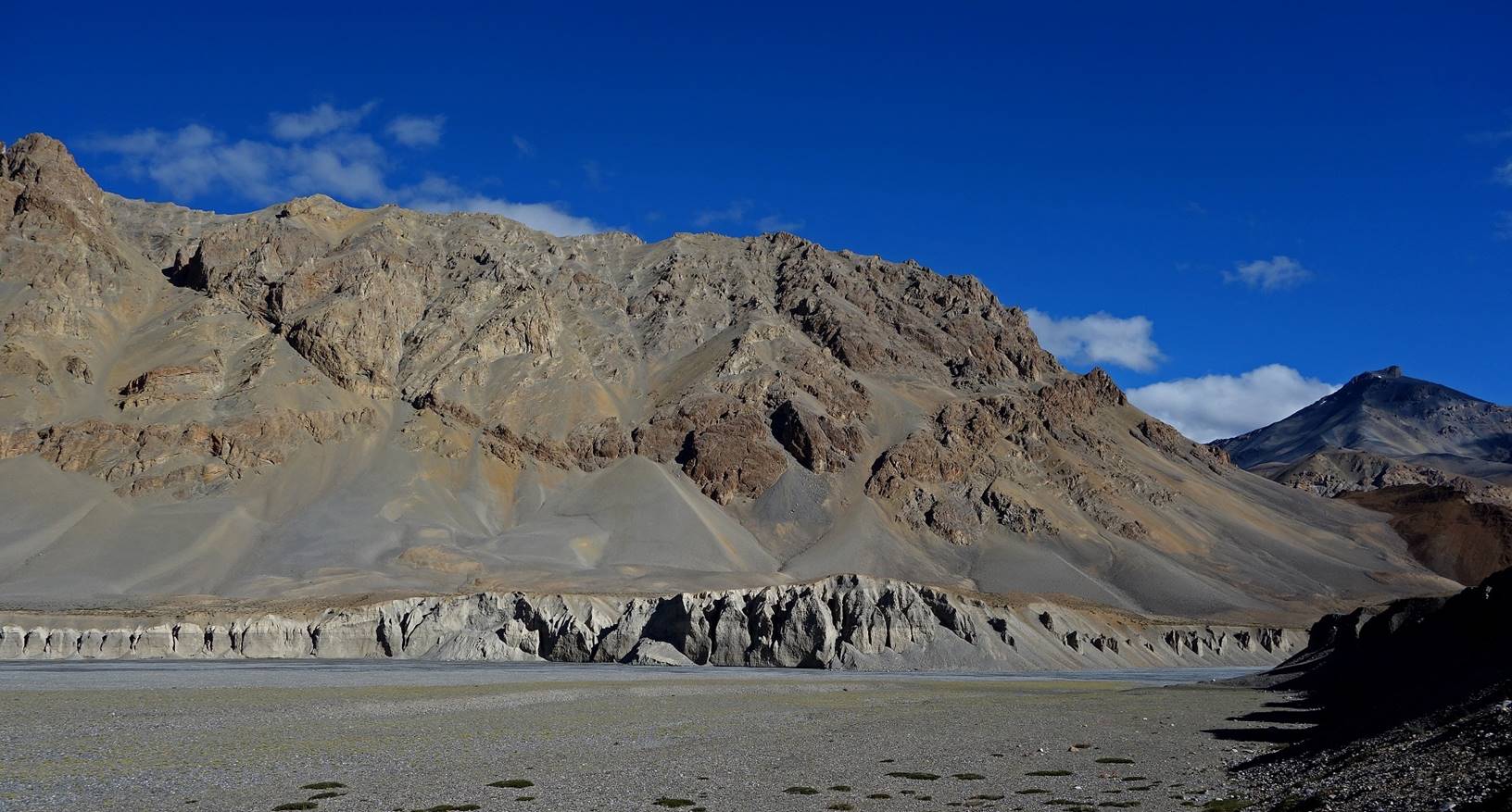
Fortunately, the landscape on the two
sides of the valley eventually became more interesting. Here, we met a small
group of kiangs.
Colorful ridges on the western side of
the valley.
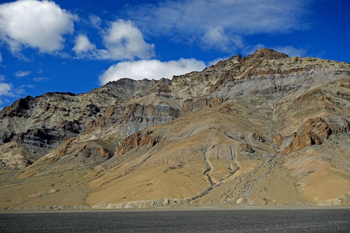
A different type of hill on the eastern
side.
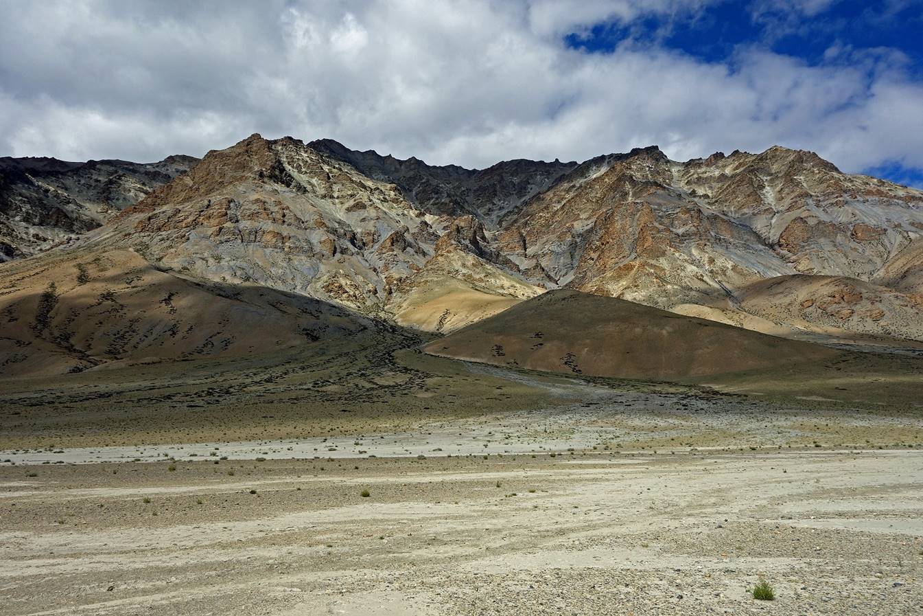
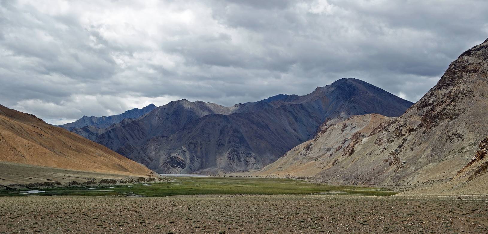
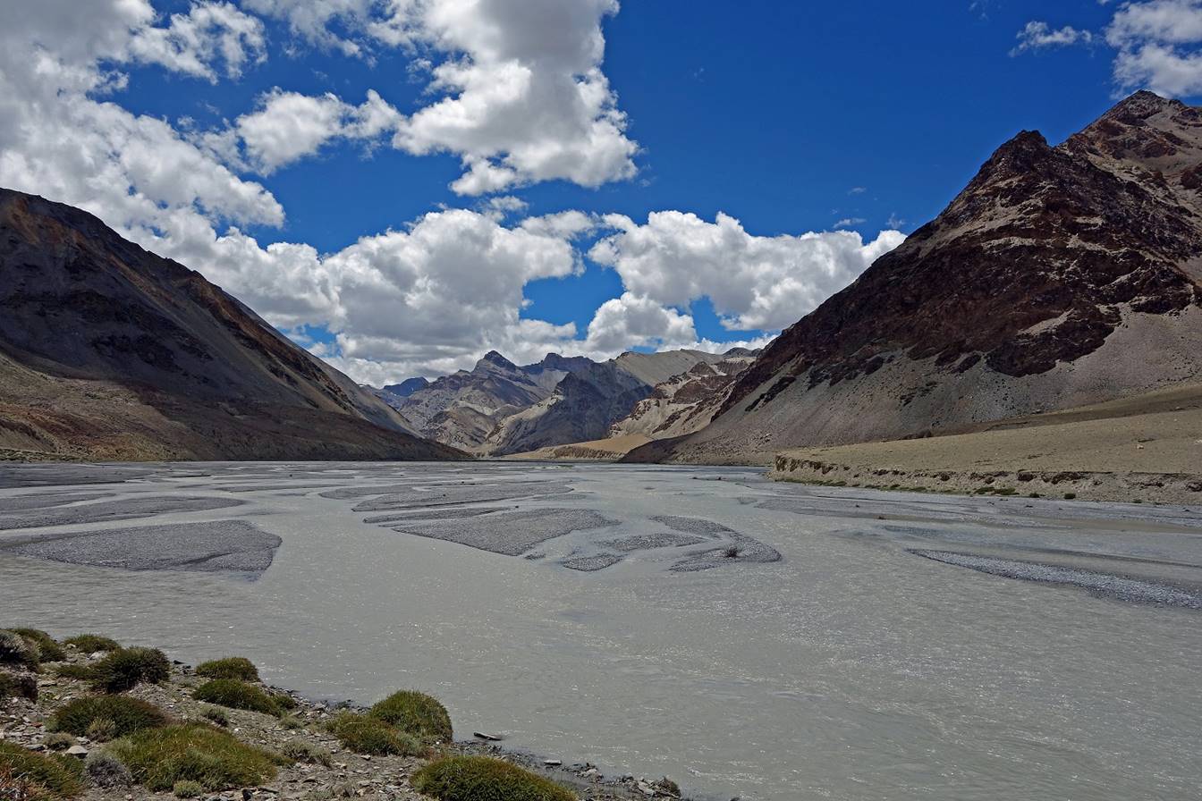
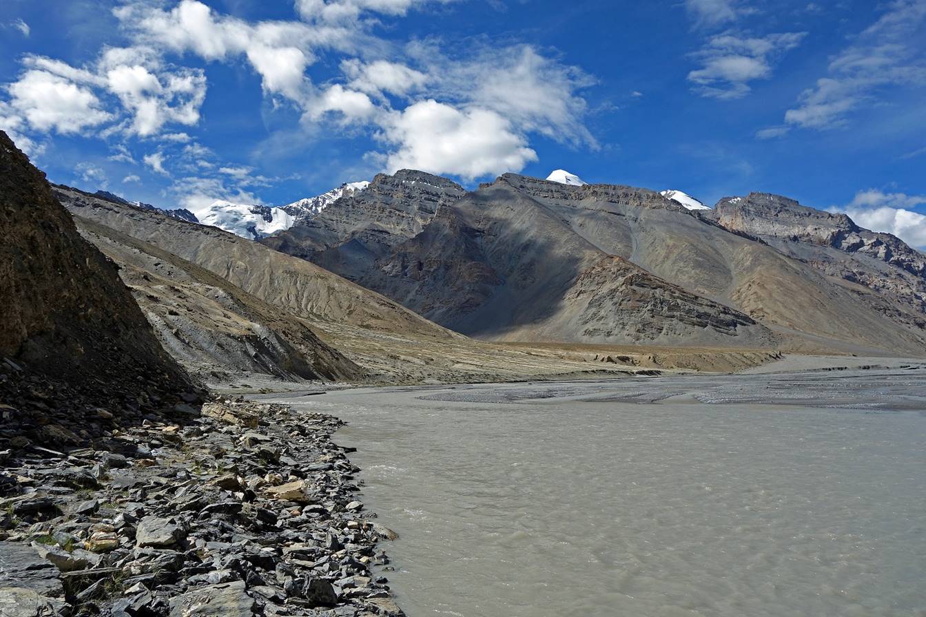
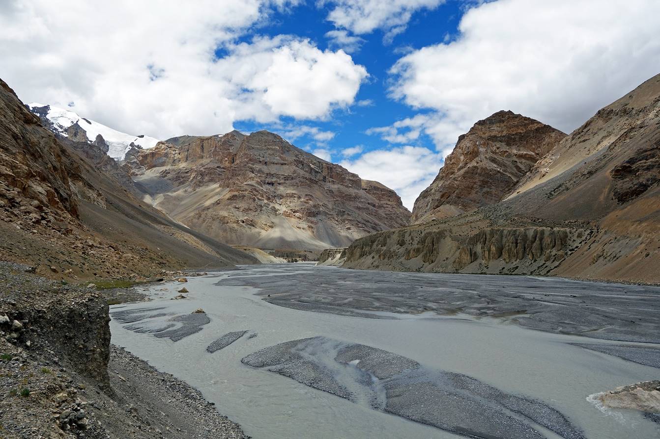
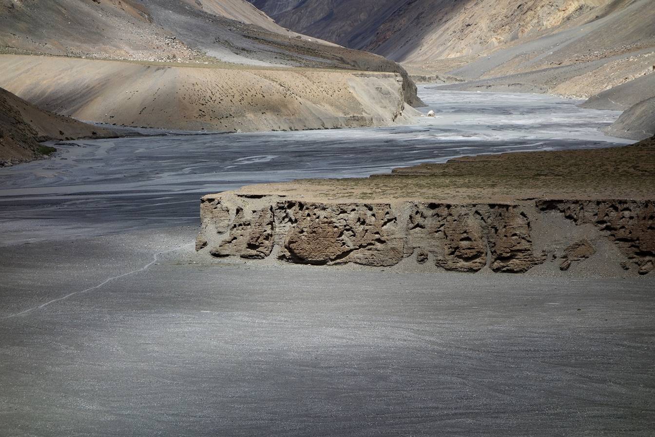
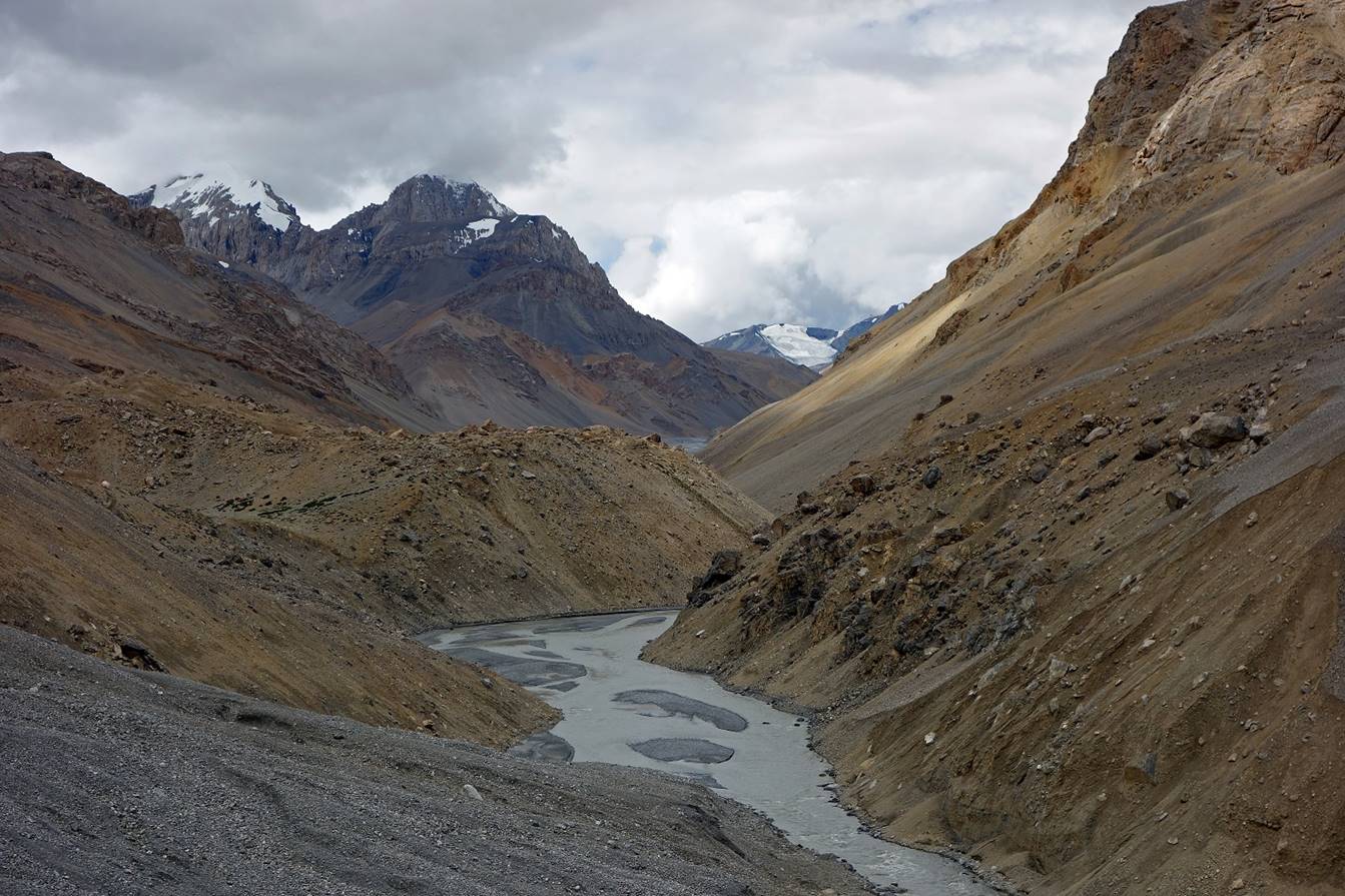
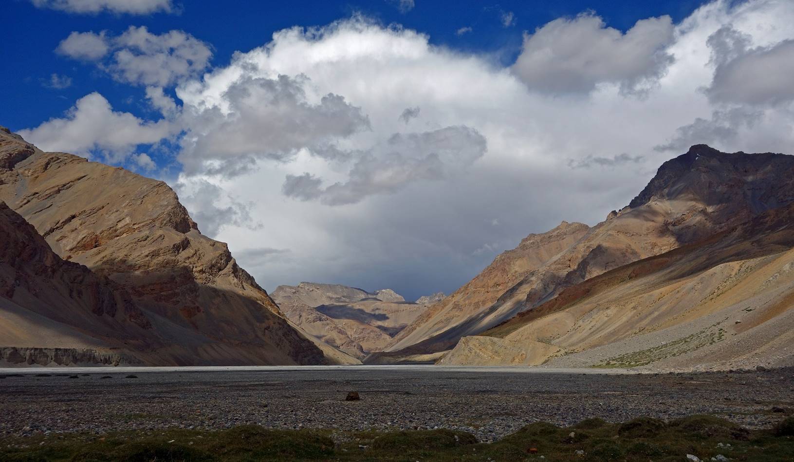
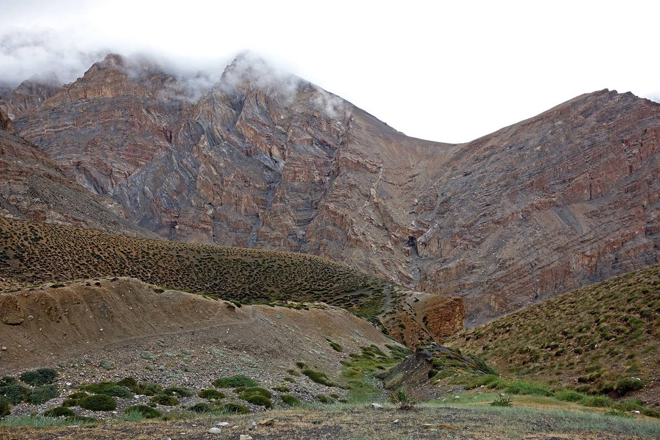
View of Nurbo Sumbo. Parang Chu flows from
right to left (east) at the foot of the dark mountain.
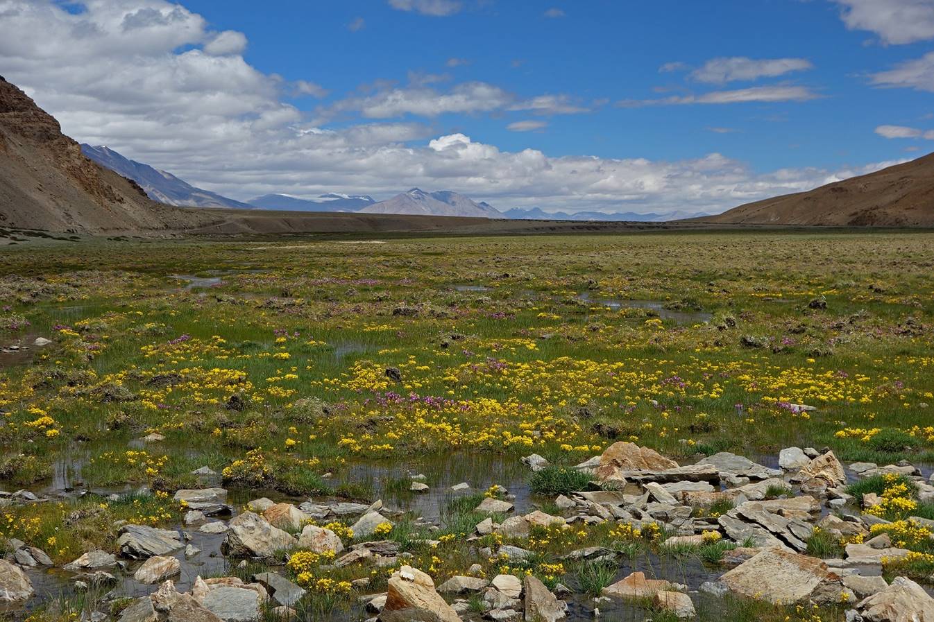
An unusual wildflower meadow in this
part of the world.
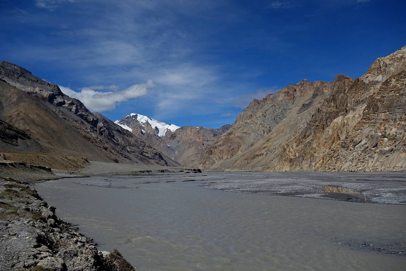
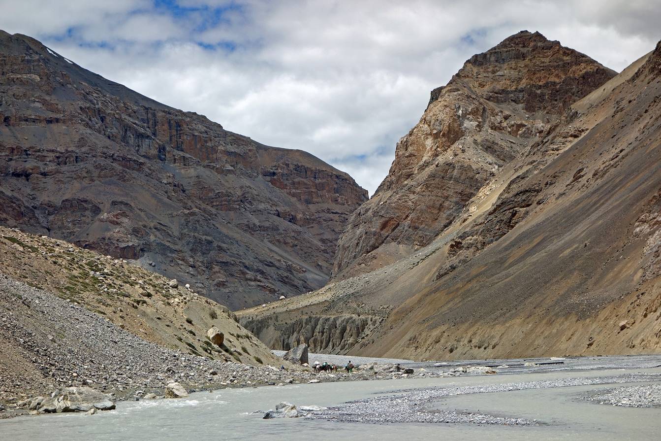
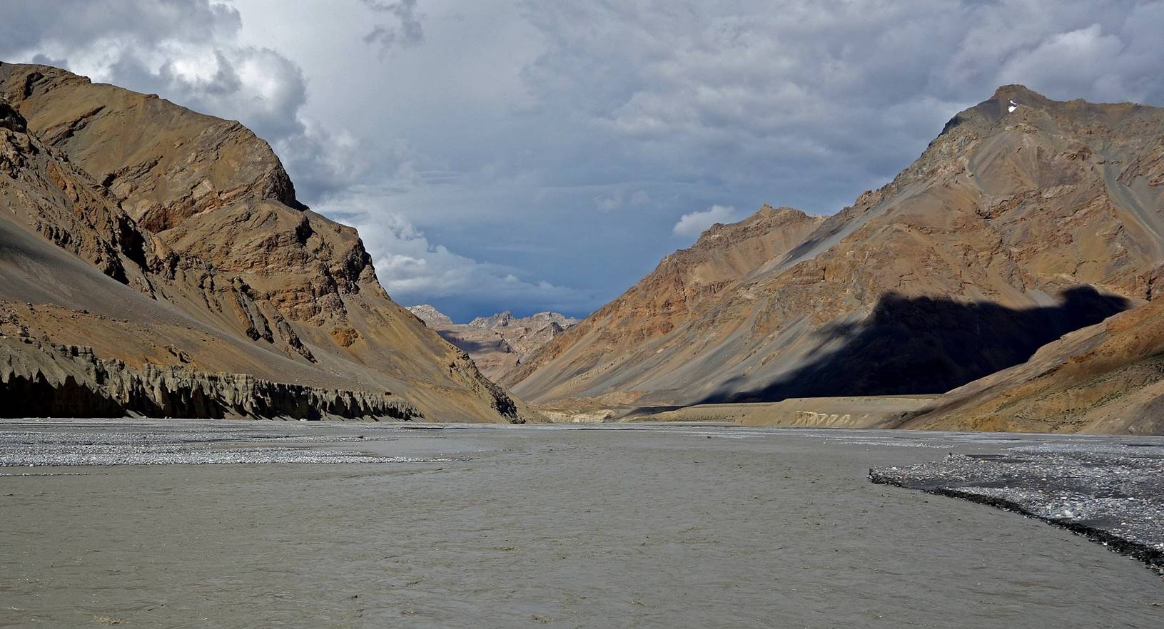
At Nurbo Sumdo, looking east (toward Tibet)...

...and right (toward Parang
La).

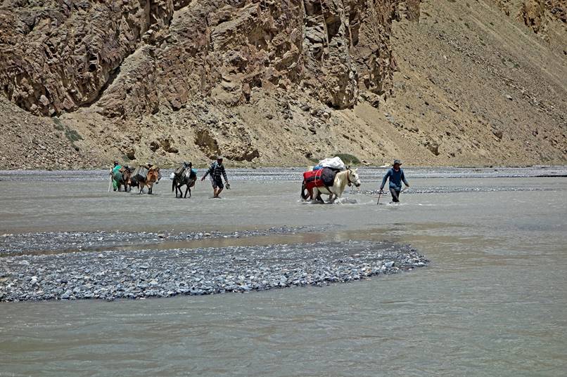
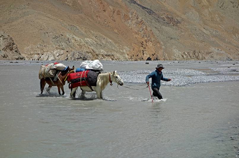
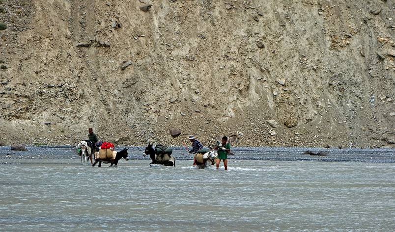
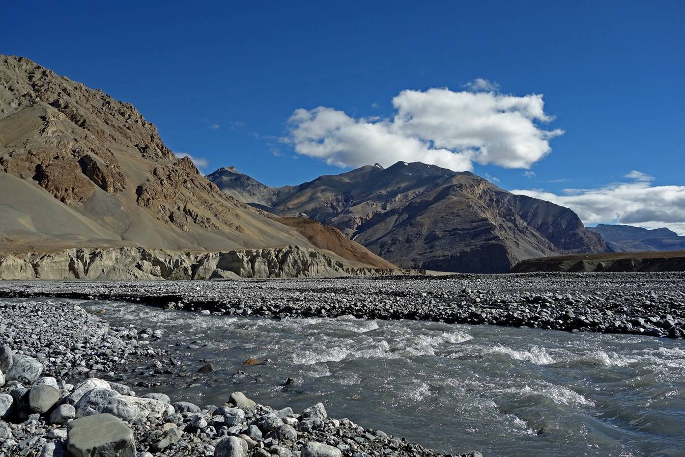
The left bank of Parang
Chu (on the right of these two pictures) soon became too steep to hike. So, we soon
had to ford the river. The river looks impressive, but in some places it
branches out between small islands and it is rarely more than knee-deep.
|
|
|
Fording Parang
Chu.
|
|
|
|
|
|

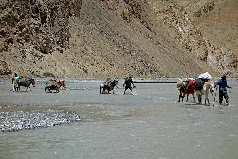
Another group of Ladakhi
people fording the river with donkeys. The man with a green shirt carries a
very young donkey (not strong enough to sustain the current) on his shoulders!
|
|
|

View of the river from the right bank
after fording. From there on until the final push toward Parang
La, we stayed on this side of the river.
We established Camp C16 on a small piece
of grassland on the southern side of the Parang La
valley. [There are several constraints to select camp locations. There must be
acceptable water to cook and minimal risks due to flooding and rock-falling.
With horses, as much as possible, grass must also be available.]
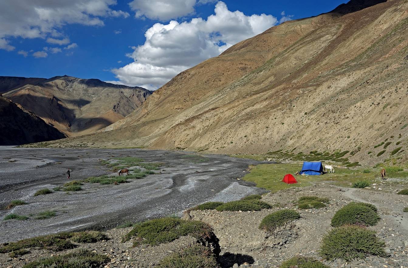
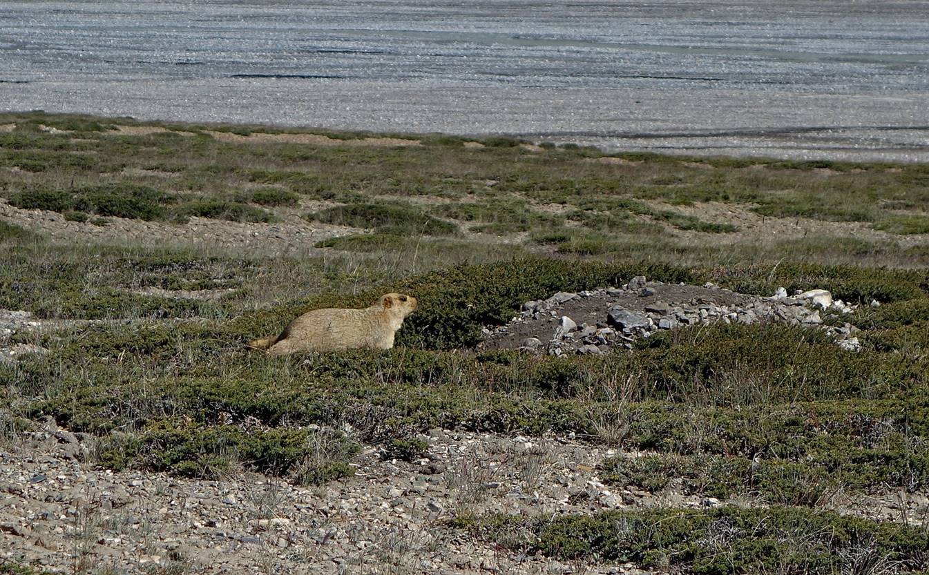
Mountain pika
near the camp.

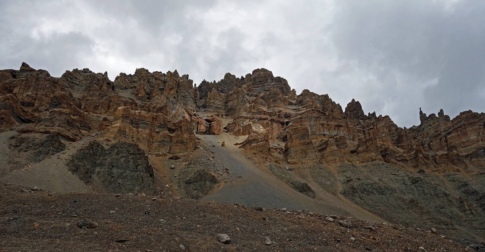
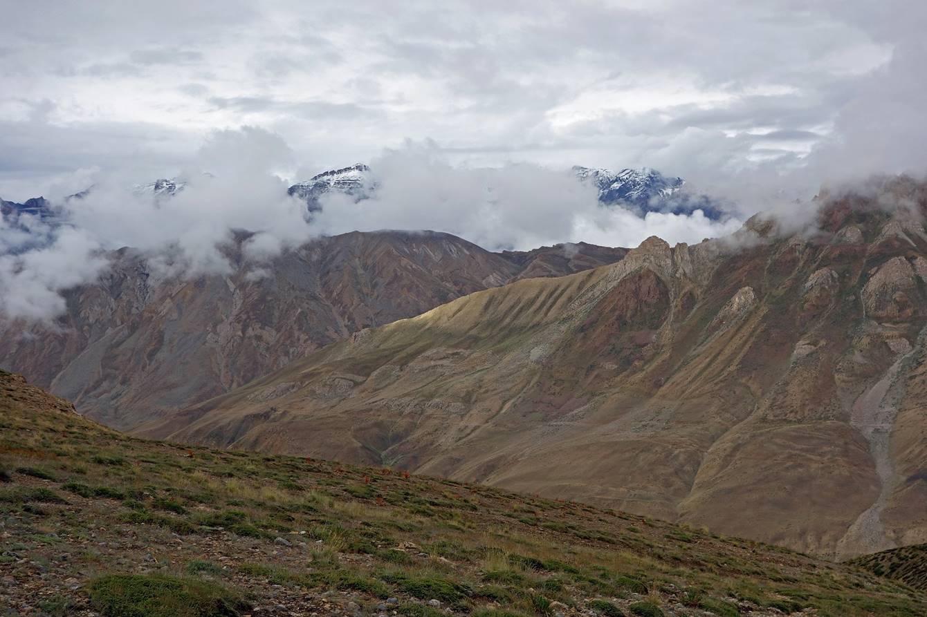
Day 17:
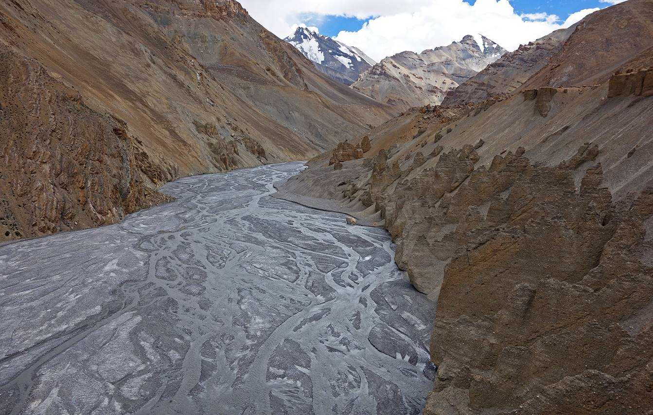
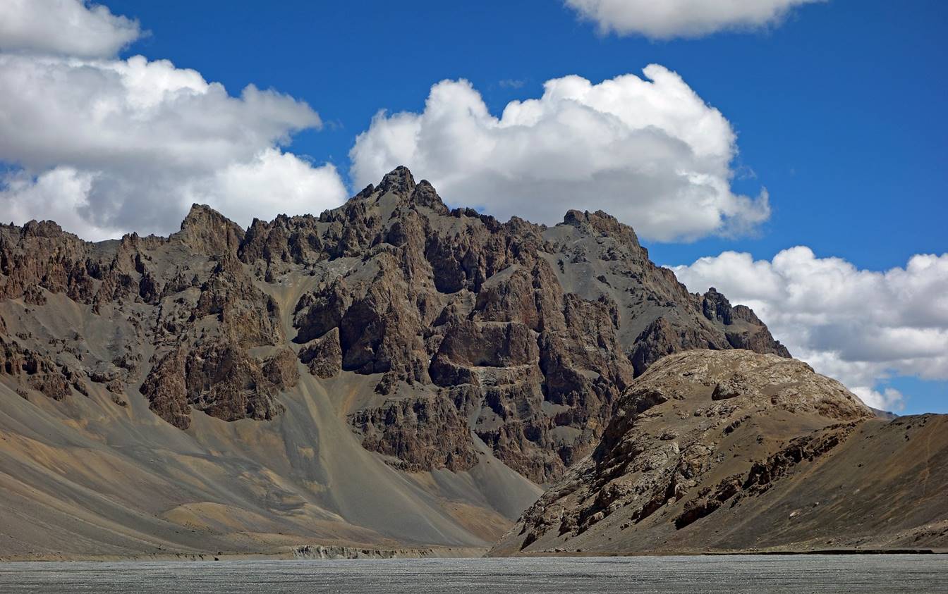
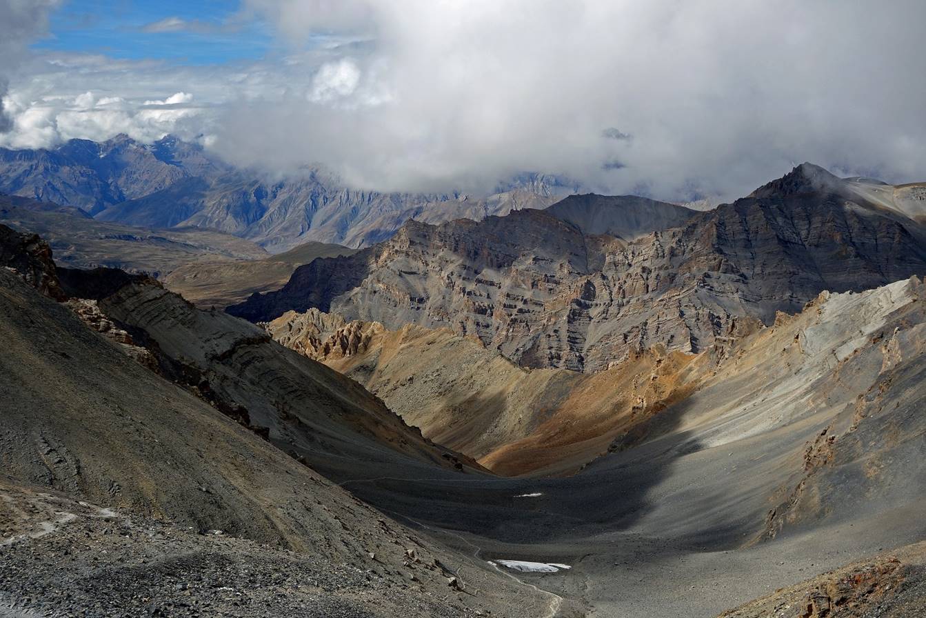
On that day we continued hiking up Parang Chu toward the south-west.
We enjoyed grandiose scenery throughout
the day.


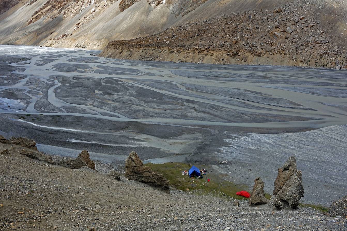
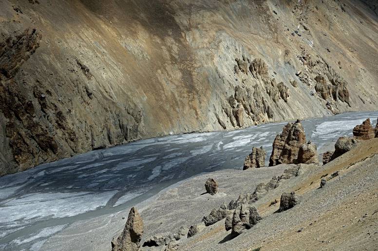
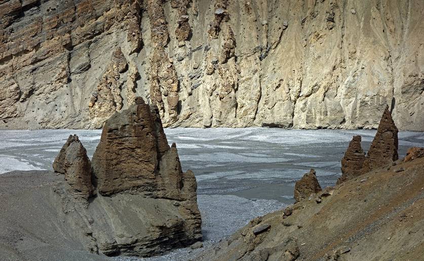
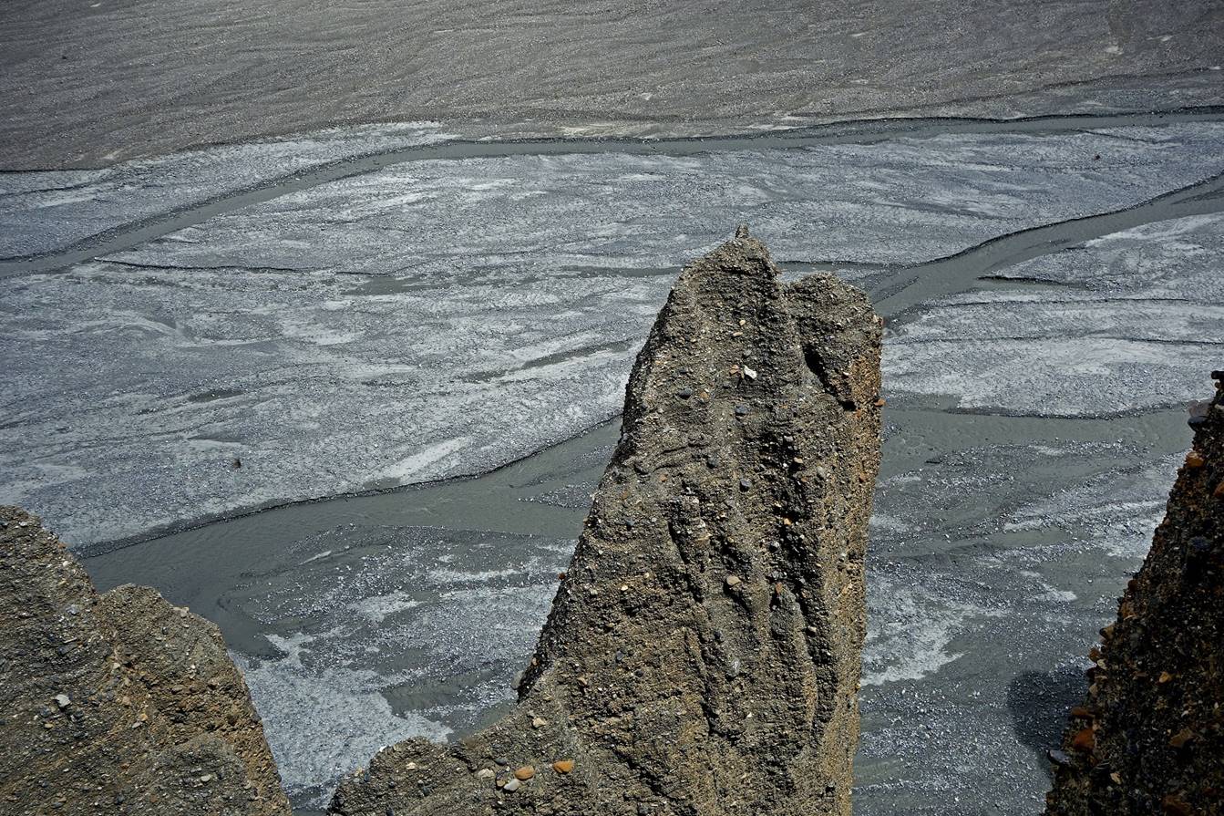
We set again our camp (C17) on a small
patch of grass near the river, below some pinnacles.
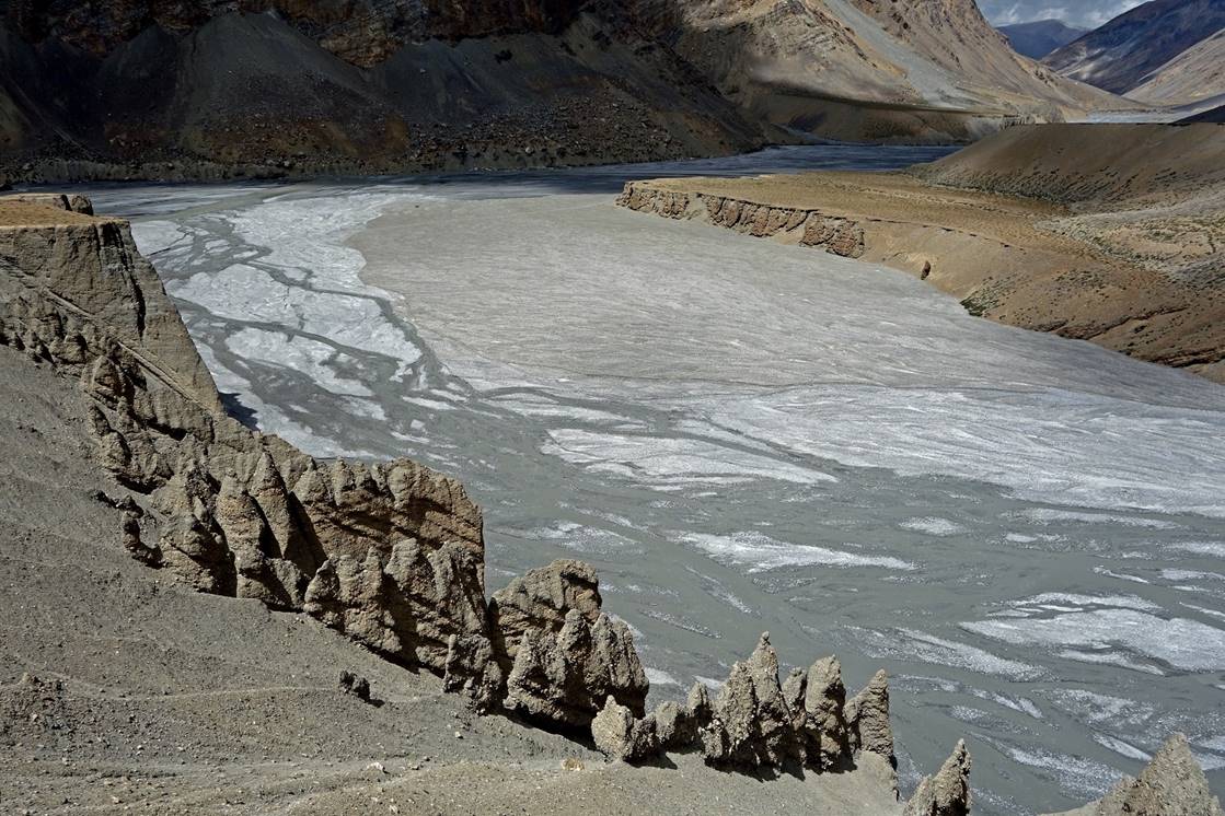
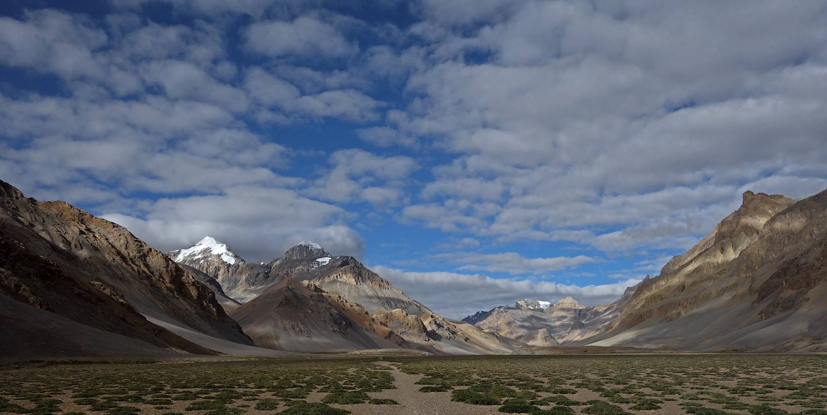
Views from a plateau above our camp over
the Parang Chu valley (toward the north-east)...

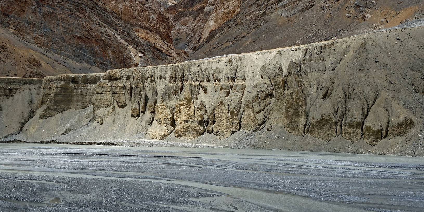
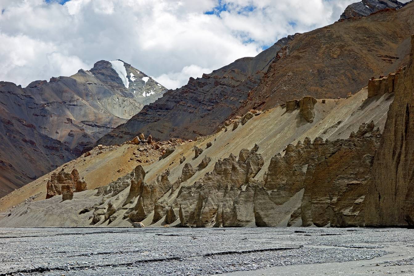
...and over pinnacles in a side-valley
perpendicular to Parang Chu.
|
|
|

|
|
|
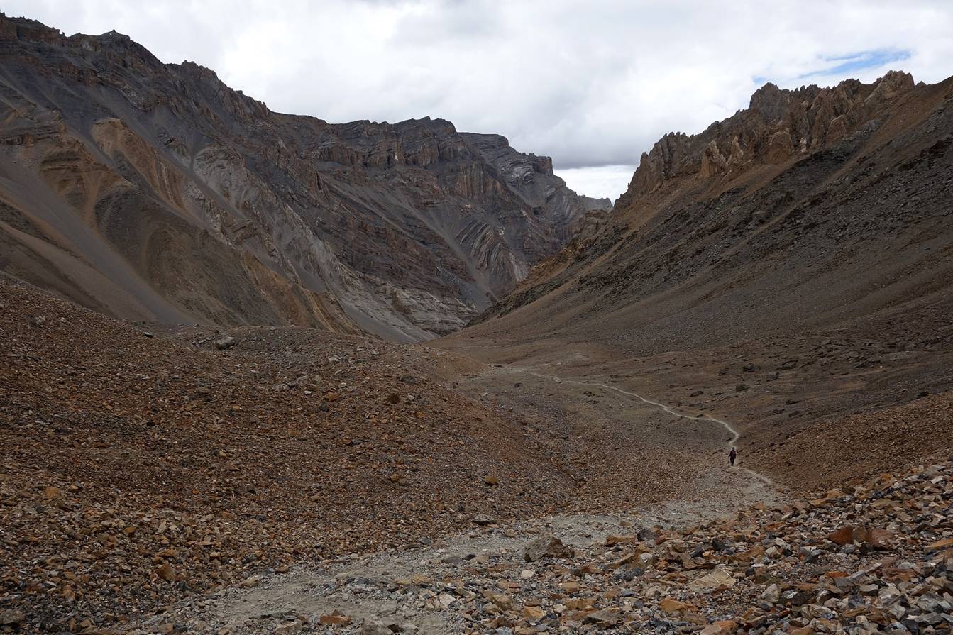
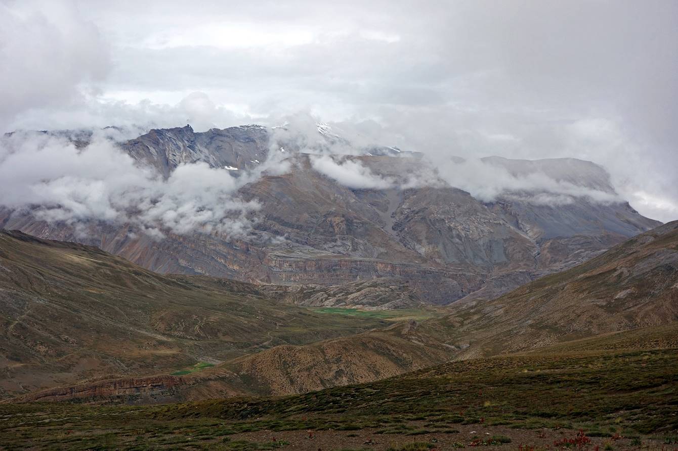
Day 18:
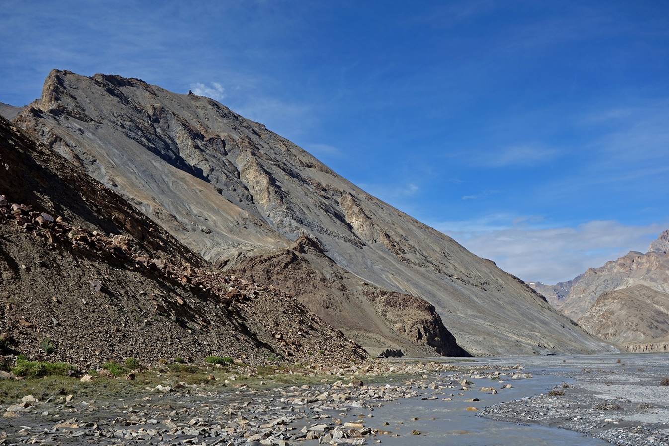
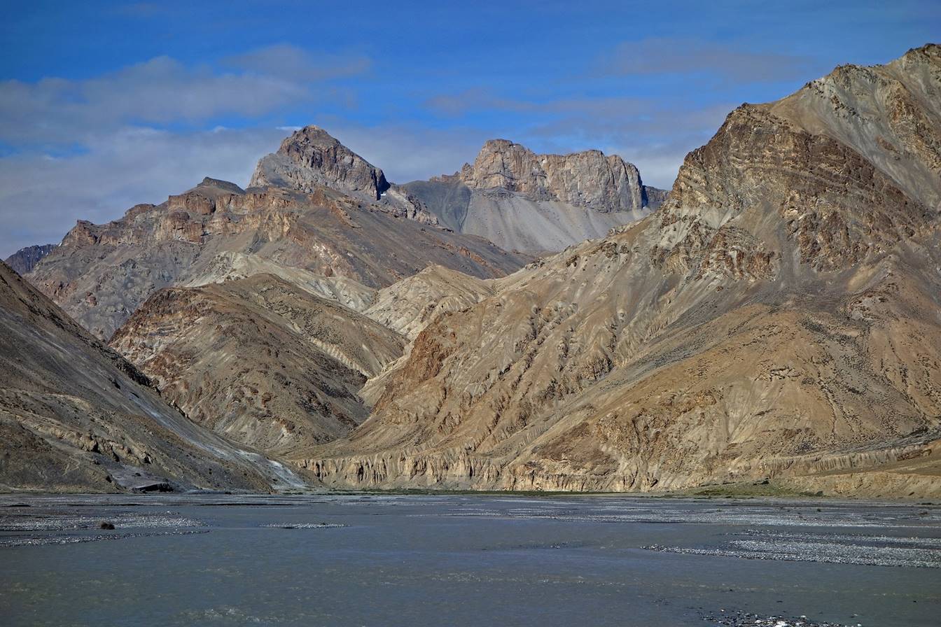
We continued hiking up the Parang Chu valley.
The views were perhaps a bit less
spectacular than on the previous day, but still quite impressive.
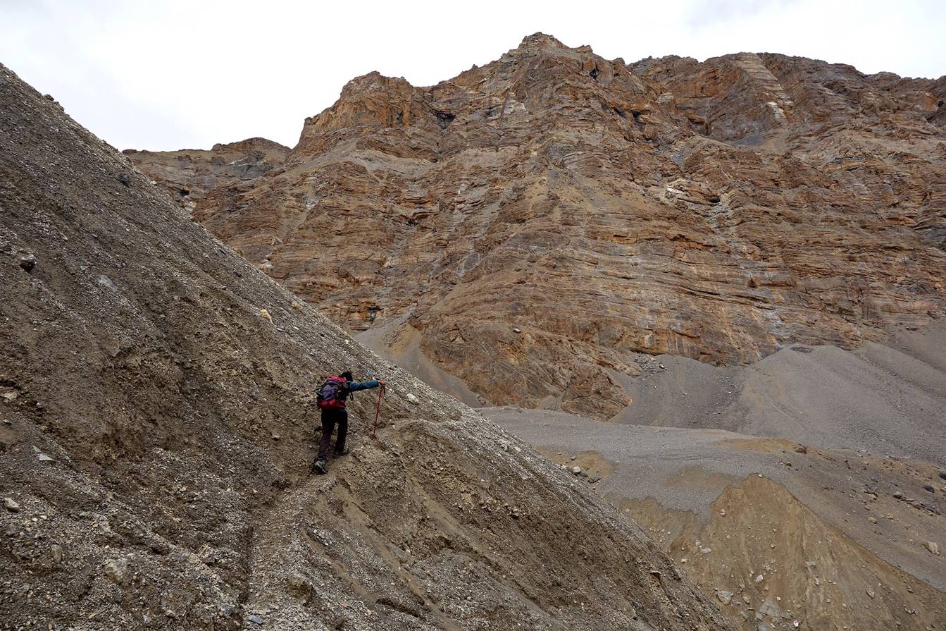
Tundup hiking on unstable terrain.

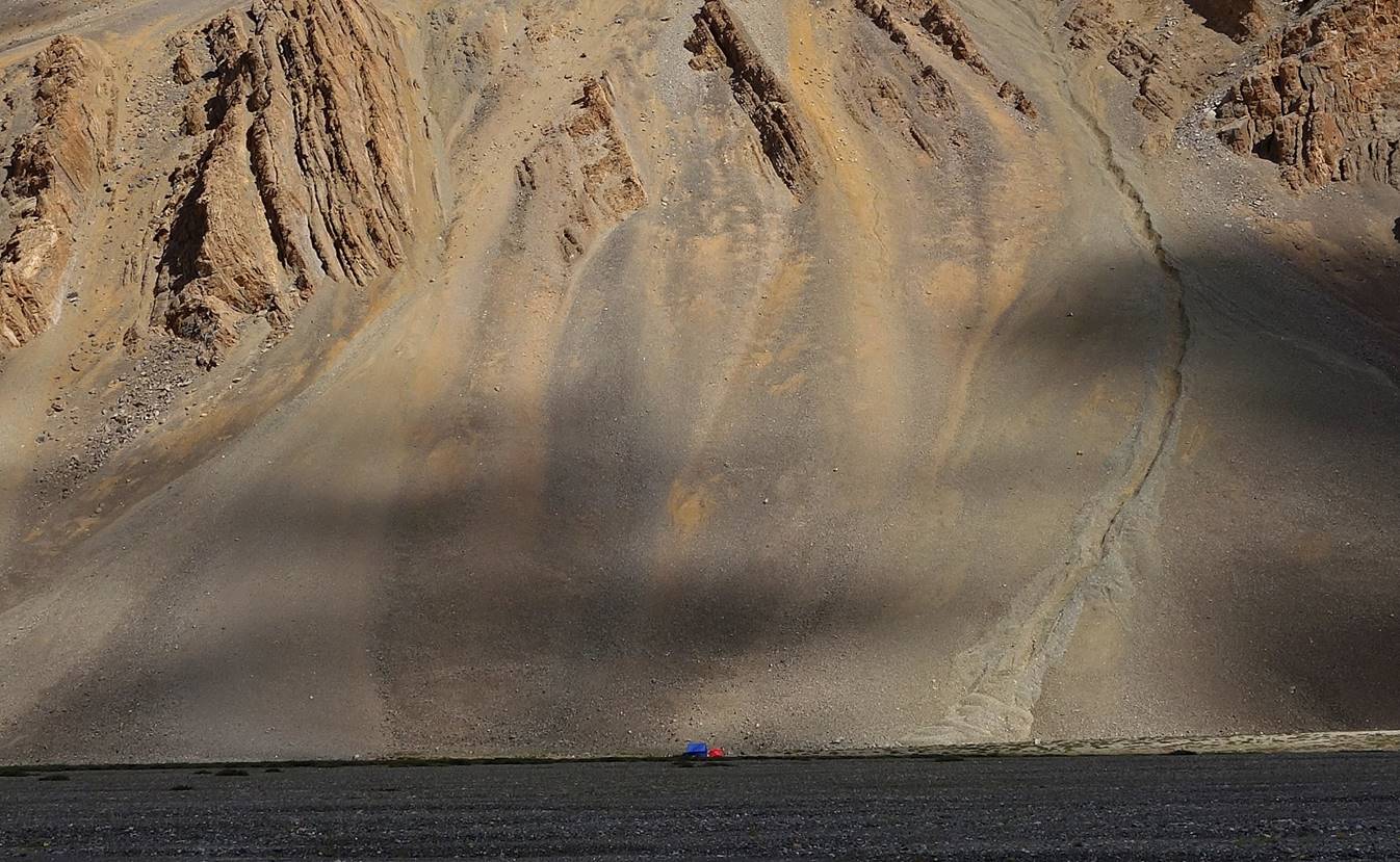
Camp C18. It looks so small!
View of a high peak south of Camp 18.

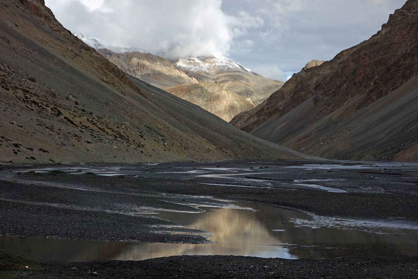
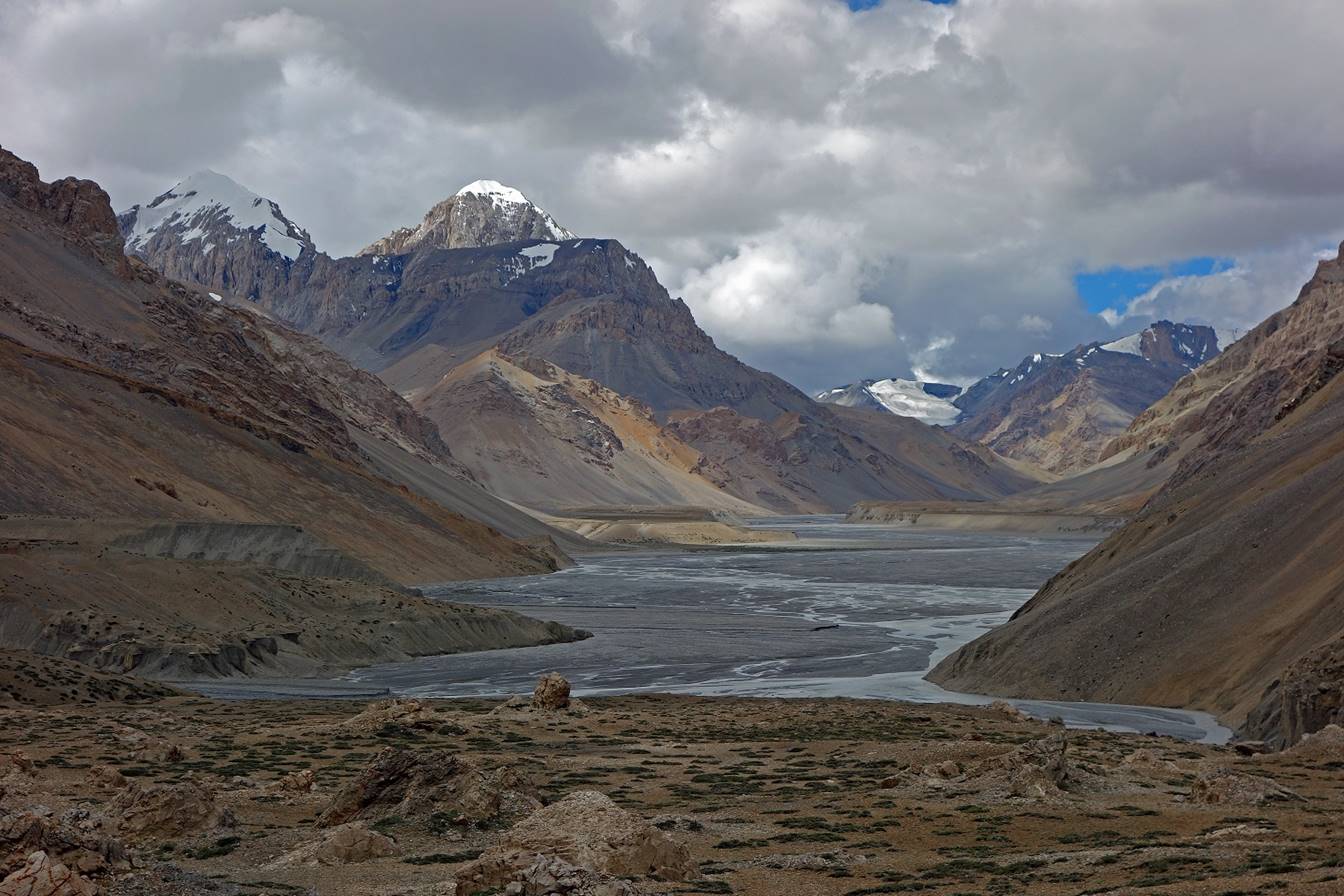
Successive afternoon views of the Parang Chu valley toward the north-east from our camp.


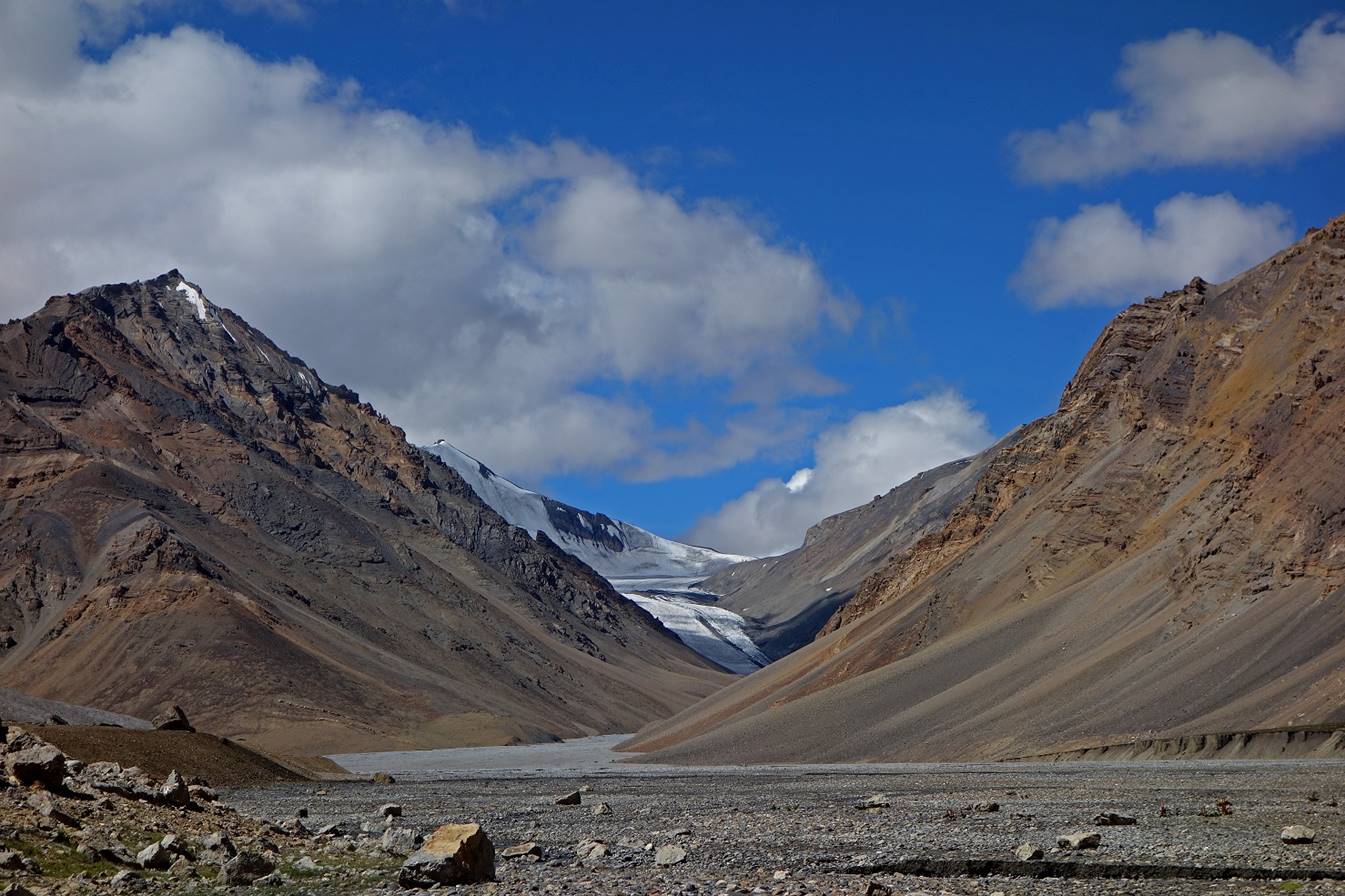
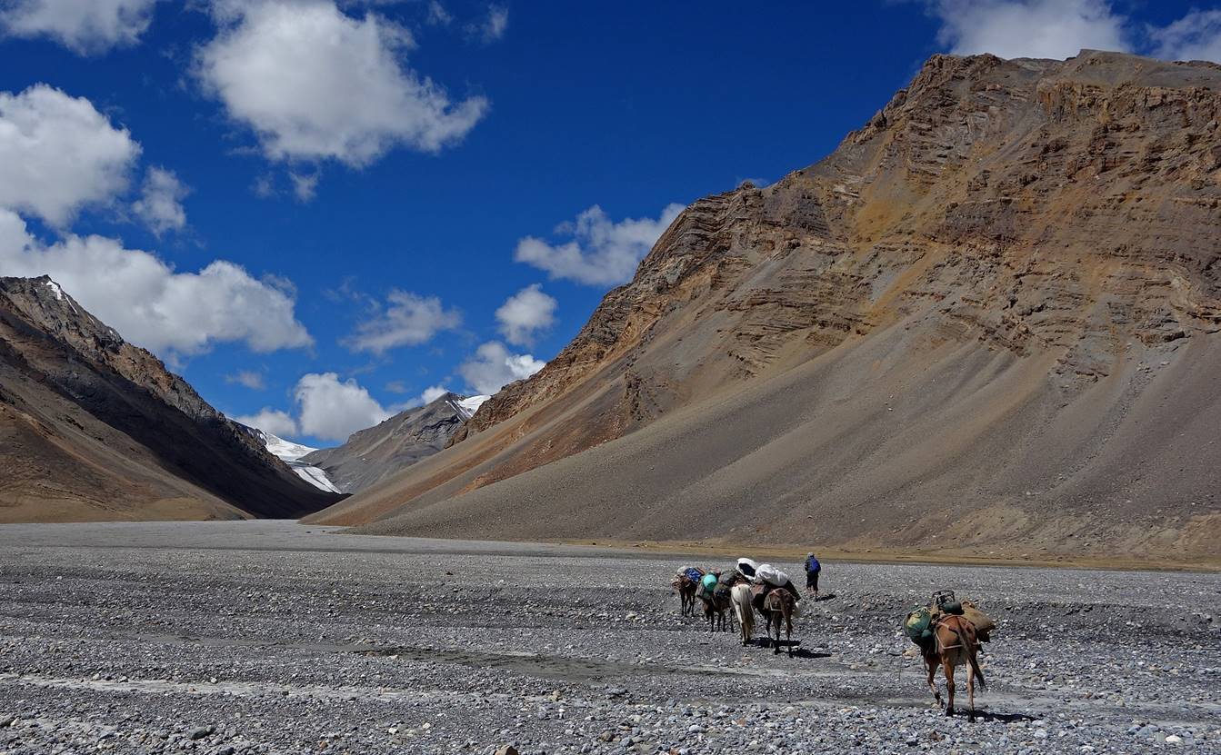
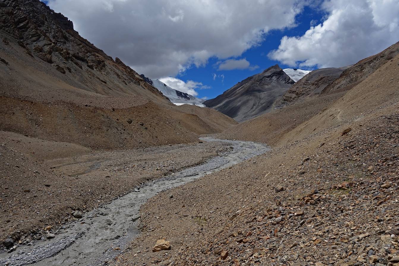
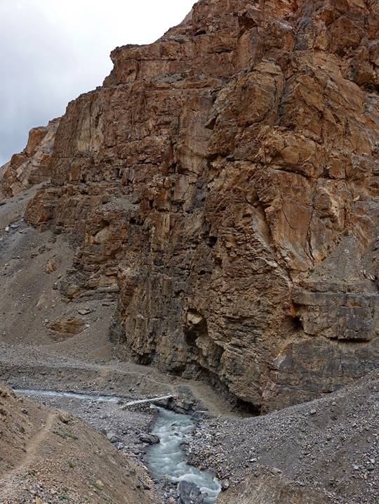
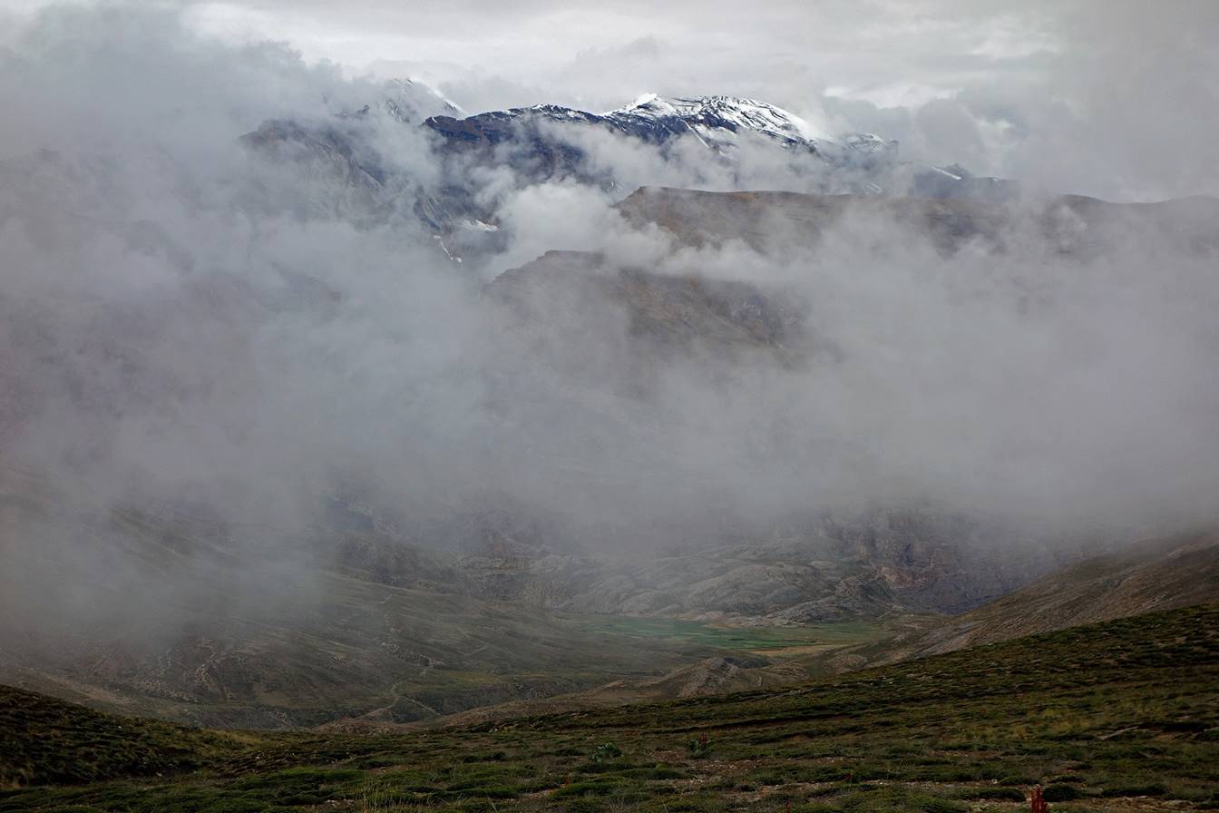
Day 19:
On that day we continued our walk along Parang Chu to reach our camp C19 just below the glacier of Parang La.
View toward the south-west as we left
Camp C18.
One of the many marmots along the way.
Further up along the Parang
Chu valley. We had to ford a couple of tributaries of Parang
Chu.
Parang La and its glacier.
Here we crossed Parang
Chu for the second time, but unlike on Day 16 it was now a small river.
Climbing toward our camp in the
afternoon. As the sun was hitting the glacier hard, Parang
Chu was getting a bit bigger.
Our camp C19 at 5040m. Parang La is hidden behind the moraine on the right of the
picture. The camp was not especially high, but it felt much higher than any of
our previous camp. It was the only camp during the entire trek where there was
no grass for the horses.
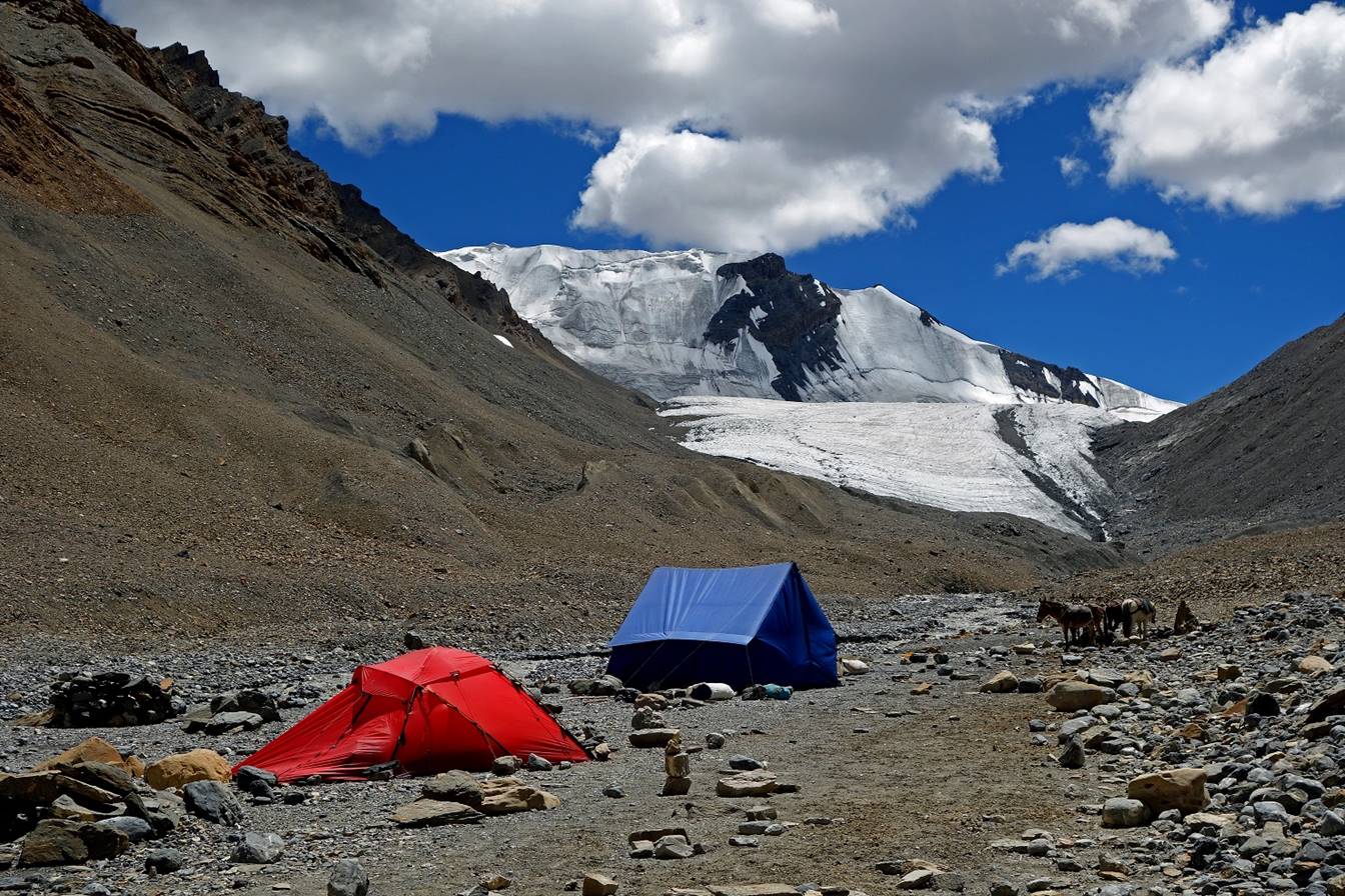
Evening view from my tent.
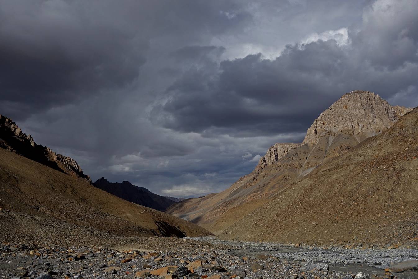
Day 20:
On that day we crossed Parang La. We had bad weather during most of the day. Since
the beginning of the trek we had been lucky, with rain falling mostly in the
late afternoons. But on Day 20 heavy rain started falling before we reached our
camp C20. This was the first and only time during the trek when we got really
wet.
Some morning sunshine on the Parang La glacier seen from C19.

Lower part of the glacier.
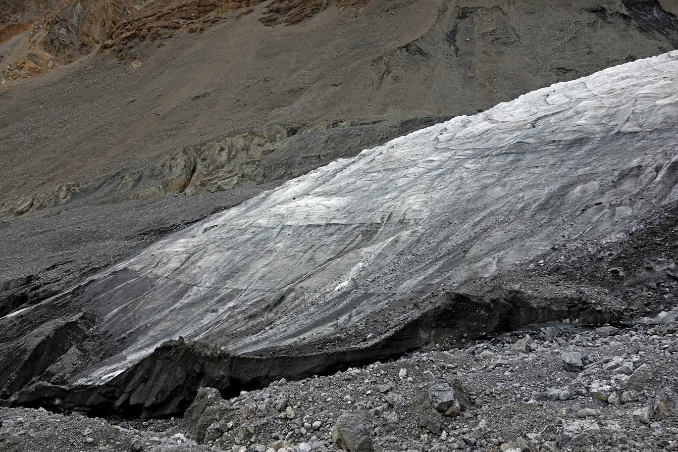
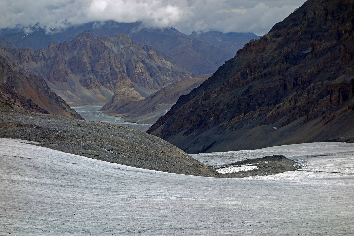
Hiking up the glacier.

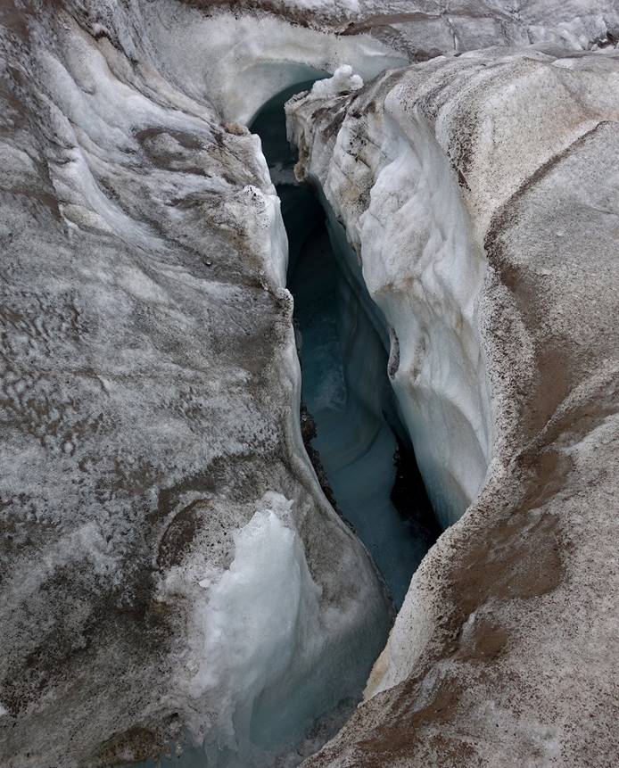
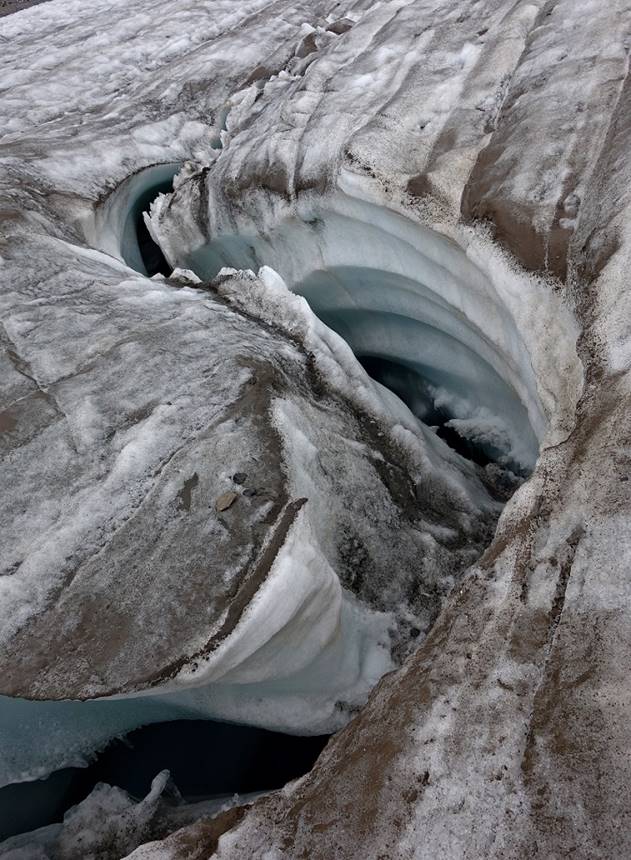
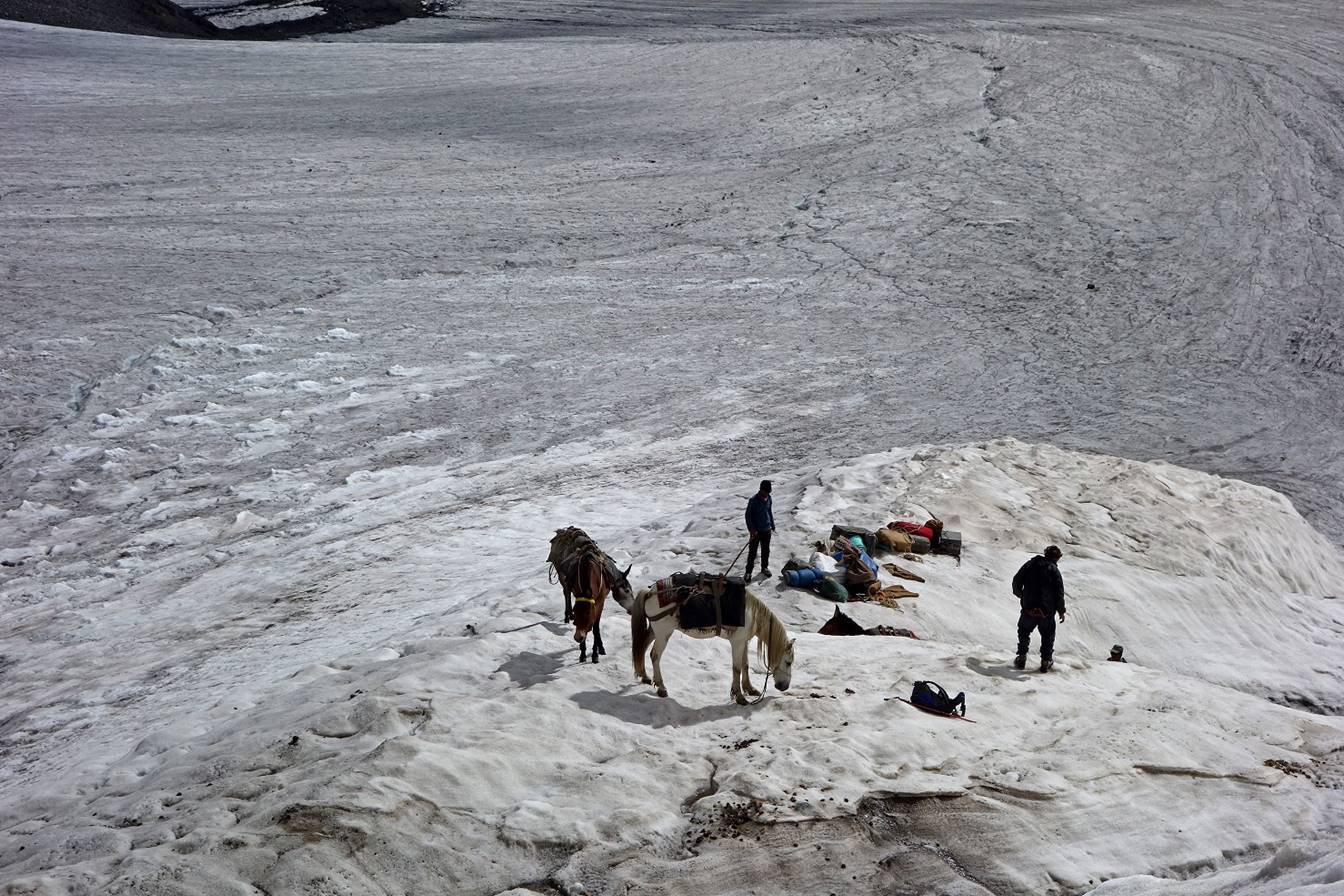
As is often the case with gently sloped
glaciers, the Parang La glacier is traversed by a
number of deep rivers.
|
|
|
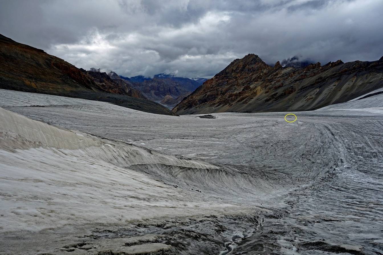
Looking back at the glacier during the
ascent. Our horses (circled in yellow) are visible in the second photo below.
Only the upper section of the glacier
was a bit steep. It was still easy for humans, but much less so for loaded
horses.
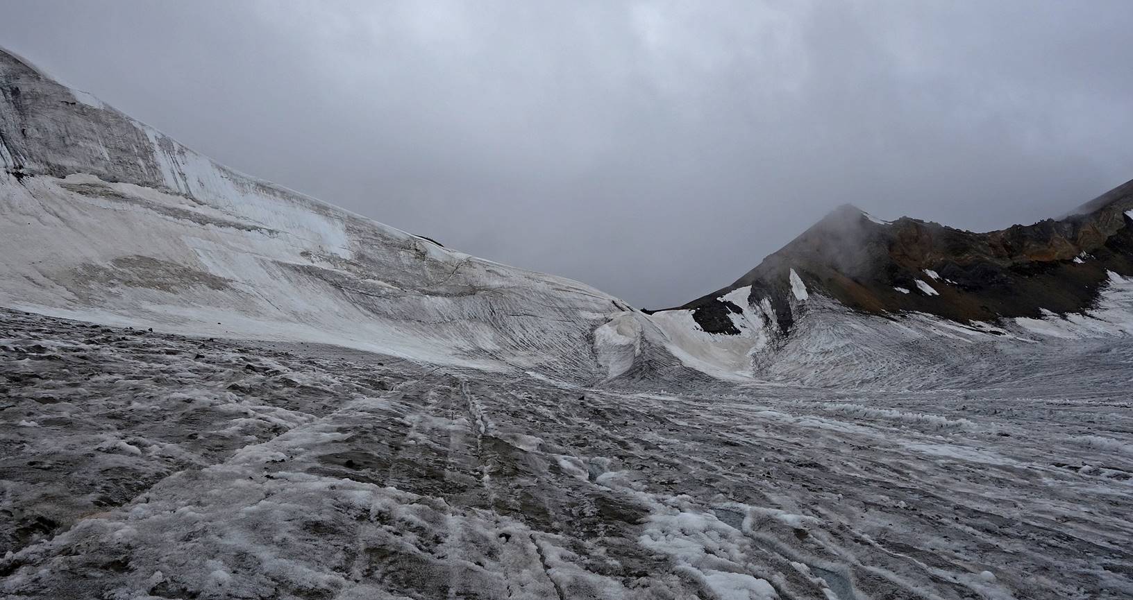
For that section the horses had to be
unloaded and vigorously pulled up one by one to the pass. It took 2 hours to
climb these last few meters!
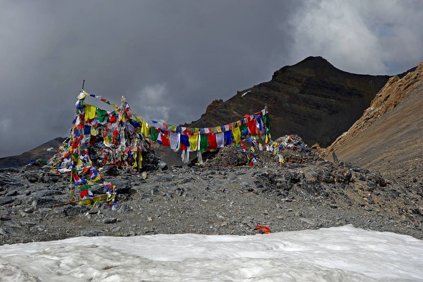
At Parang La
(5580m).

View toward the south from Parang La. The descent was free of ice and snow.
During the descent. Here the horses were
much faster than me and were further ahead.

|
|
|

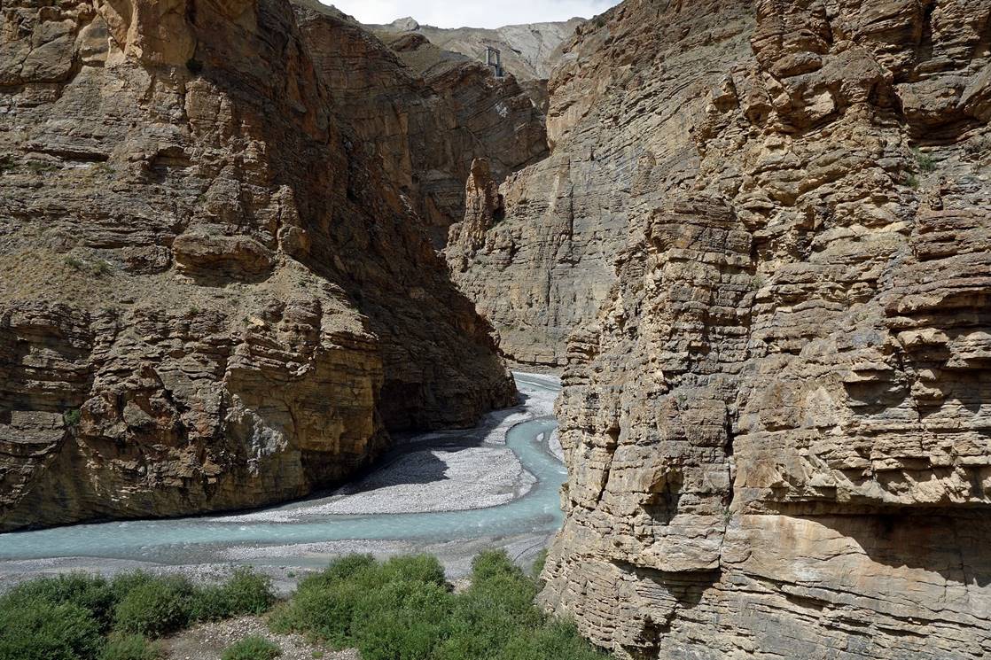
The gorge became increasingly deeper and
narrower. Soon after the bridge visible in the left photo above, we left the
gorge and climbed several hundred meters in elevation along a steep trail on
the right side, to reach a plateau where we establish Camp 20. Heavy rain
started falling at the beginning of the climb. It lasted until the next
morning.
Day 21:
This was the last trekking day of the
trip. We reached the village of Kibber in the Spiti valley, the end of the trek, early in the afternoon.
The route that we had followed between Tso Moriri and
Kibber used to be an active trading route between the
Spiti valley, Tso Moriri,
and Tibet. Nowadays it remains used mostly by trekkers.
View from C20 in the morning. The grassy
terrain and the rocky one behind it are separated by the gorge that we had left
on the previous afternoon.
We descended from the plateau in misty
weather. Bright green patches visible in some photos below are green-pea
fields. The peas cultivated in this area are reputed in Manali
for their large pods.
Now Kibber is
partially visible (white houses on the left of the photo), but the main part of
the village in hidden behind a ridge.
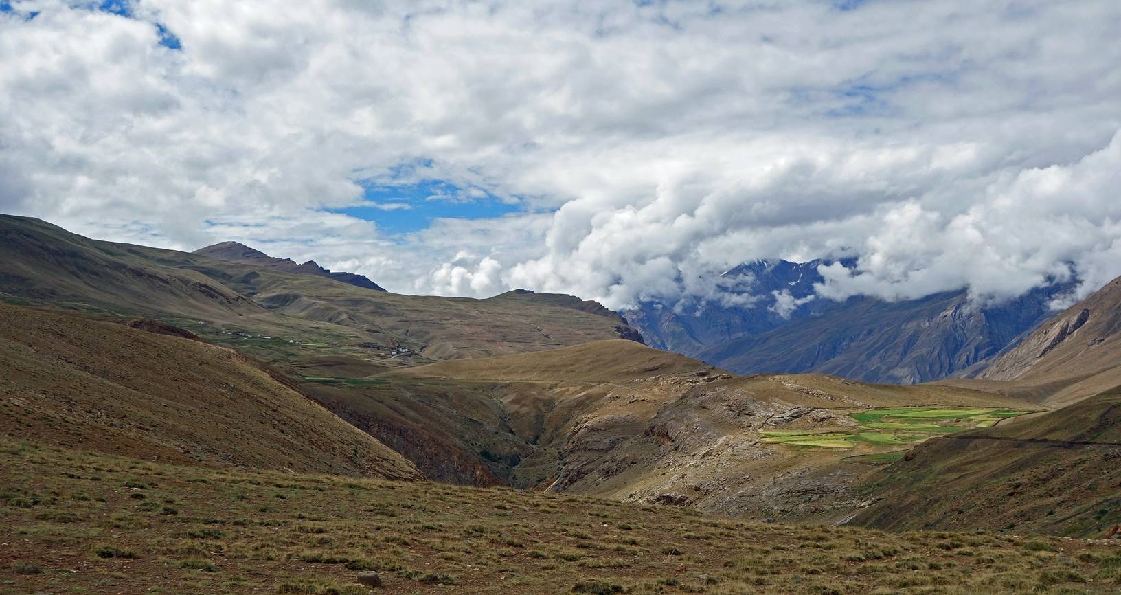
Kibber looks close in the previous photo, but
it is located on the other side of the gorge that we had left on the previous day.
So, we still had to descend again into the gorge and climb back on the other
side. (An impressive suspension bridge was under construction across the gorge
to connect Kibber and a smaller village. A tower of
that bridge is visible in the photo on the left.)
|
|
|

At Kibber
village.

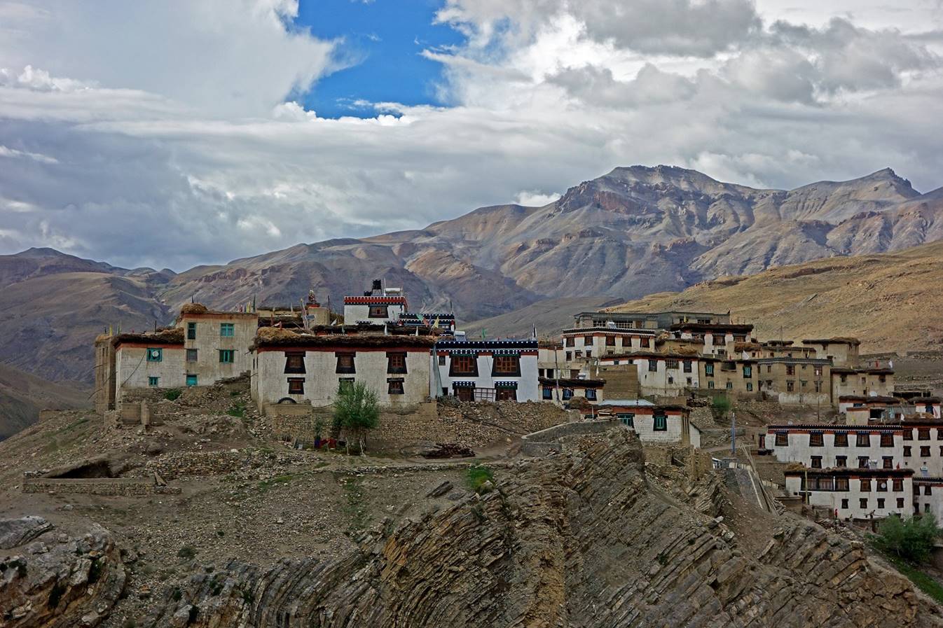
Chorten at the limit of the village on the road
to Kaza (the administrative center of the Spiti valley). We set our camp C21 near this chorten.

Evening view over a hill above Kibber.

On the next day we drove to Kaza. We visited the Kye, Dhankar, and Tabo
monasteries. Then we drove to Manali. See here.
![]()