India
(July-August
2018): Lahaul to Zanskar
across Kang La (5450m) - 3/3
|
|
Return
to main India 2018 webpage
Google Earth views:
|
|
|
|
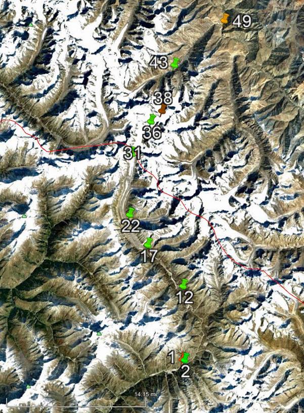
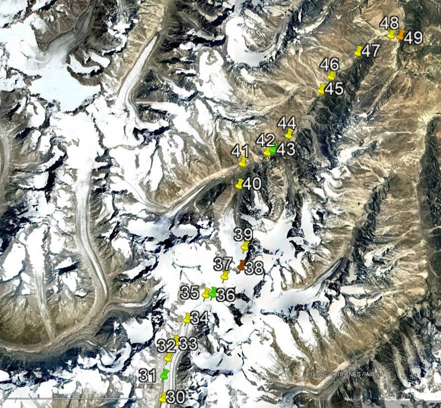
Entire leg. |
Part 3/3 of leg. |
[Reminder: Click here (kmz file) and open the
downloaded file in Google Earth to access the GPS waypoints (numbered 1 to 49 for
the first leg and 50 to 78 for the second leg) that I recorded during the trek:
red pins for starts, orange for finishes, green for camps, brown for passes,
and yellow for other waypoints.]
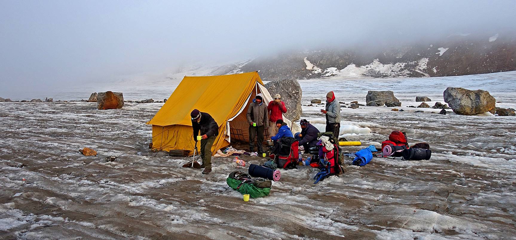
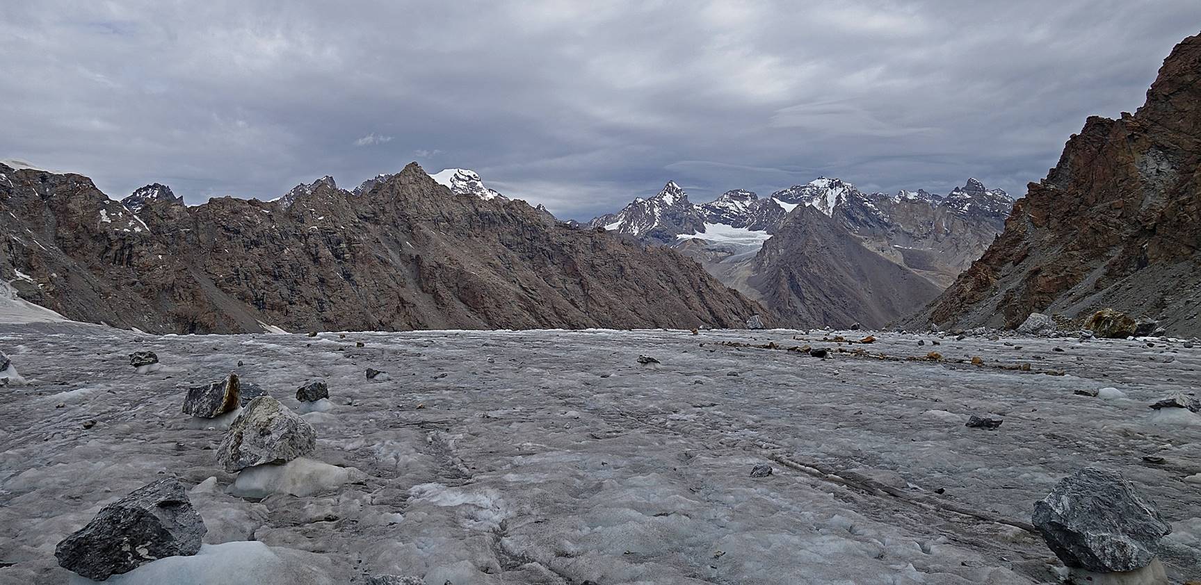
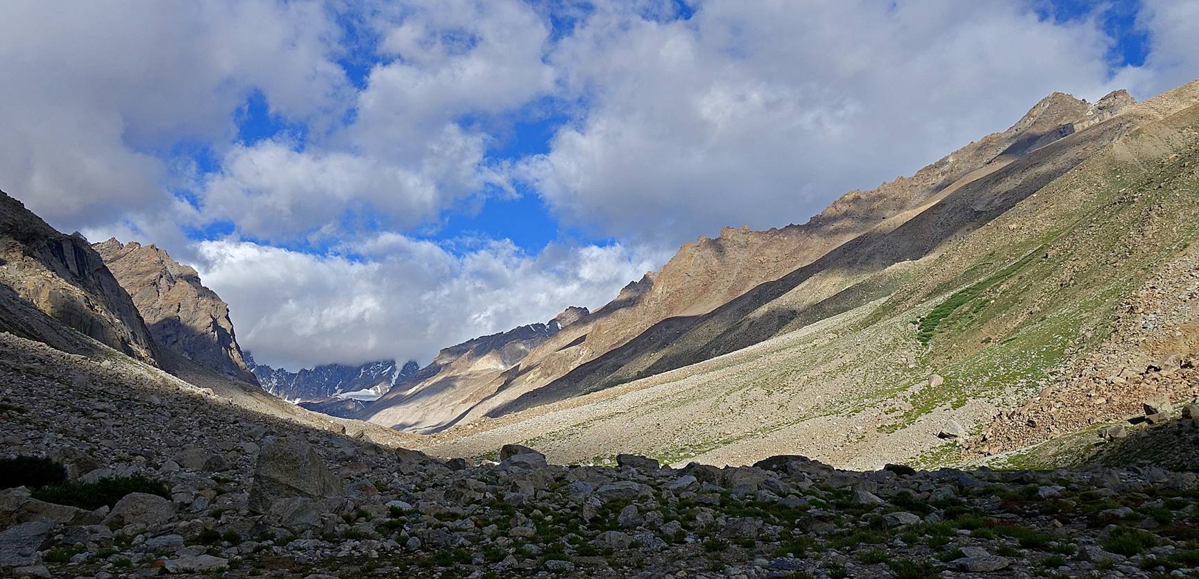
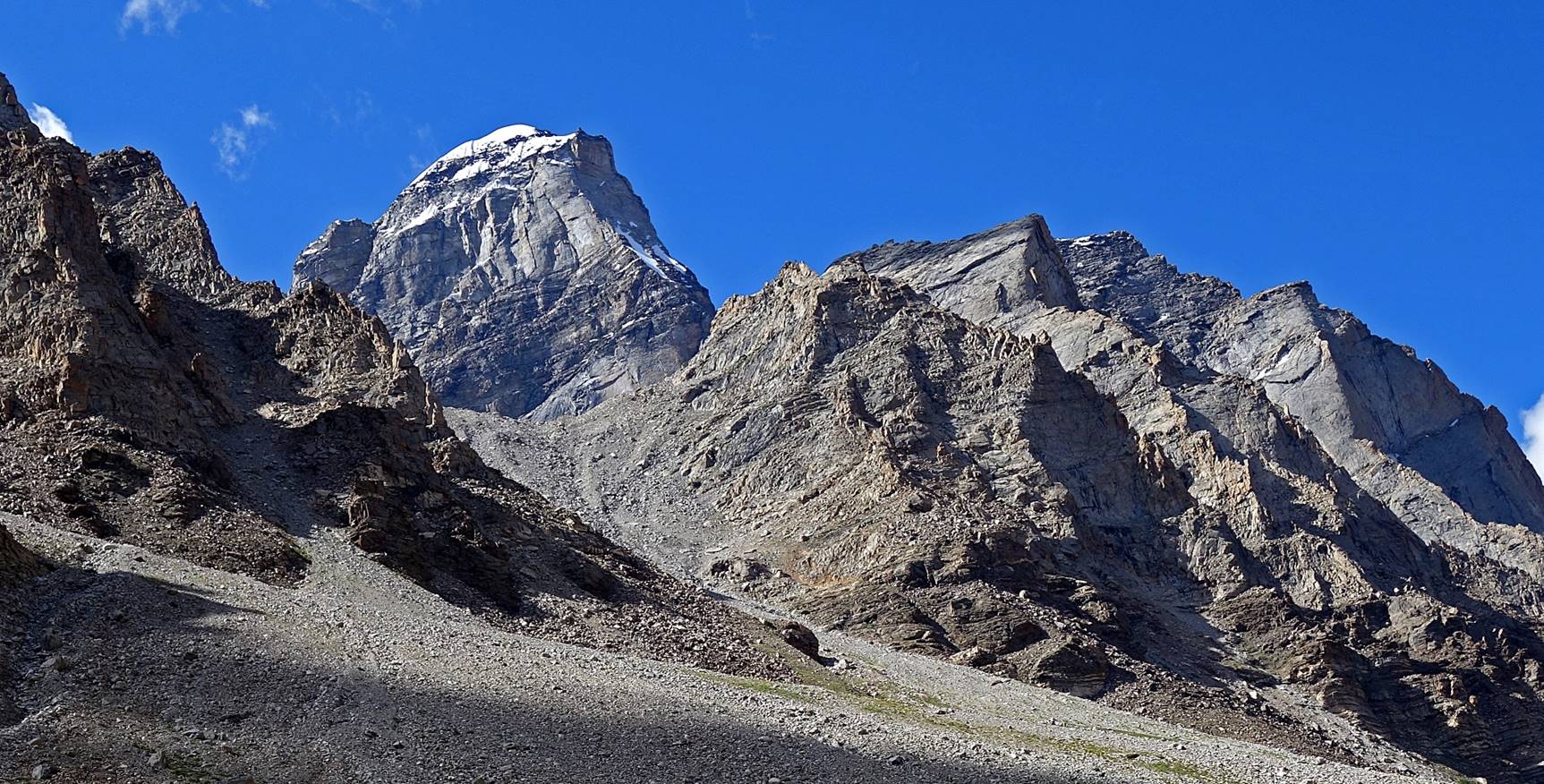
Day 5 of
trek:
Views of the glacier from our camp in the early morning. Clouds were low
and visibility was poor.
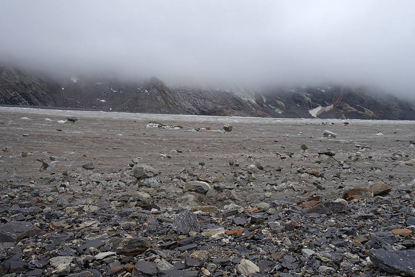
We nevertheless decided to leave and move up, hoping that the weather
would improve. Our goal was to cross Kang La on that day.
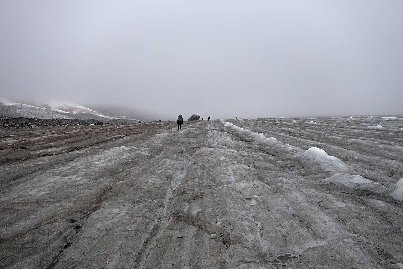
But, instead, visibility worsened.
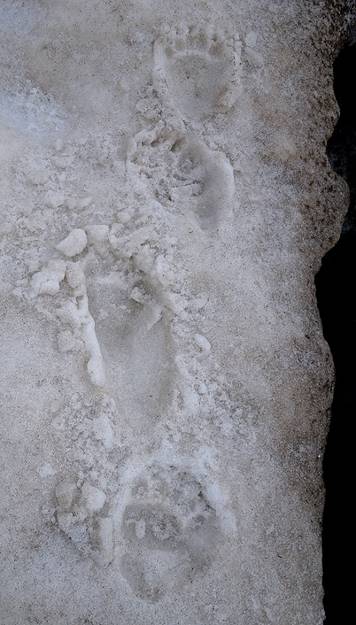
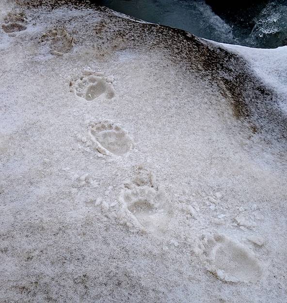
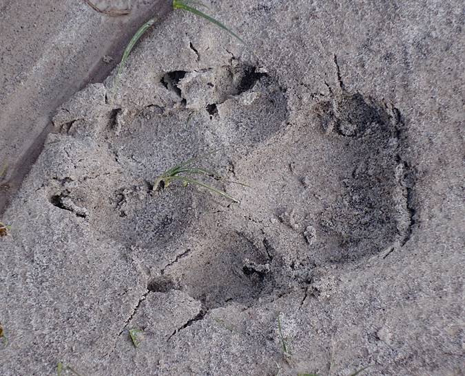
Fresh footprints of a bear.
|
|
|
|

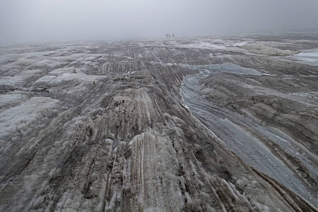
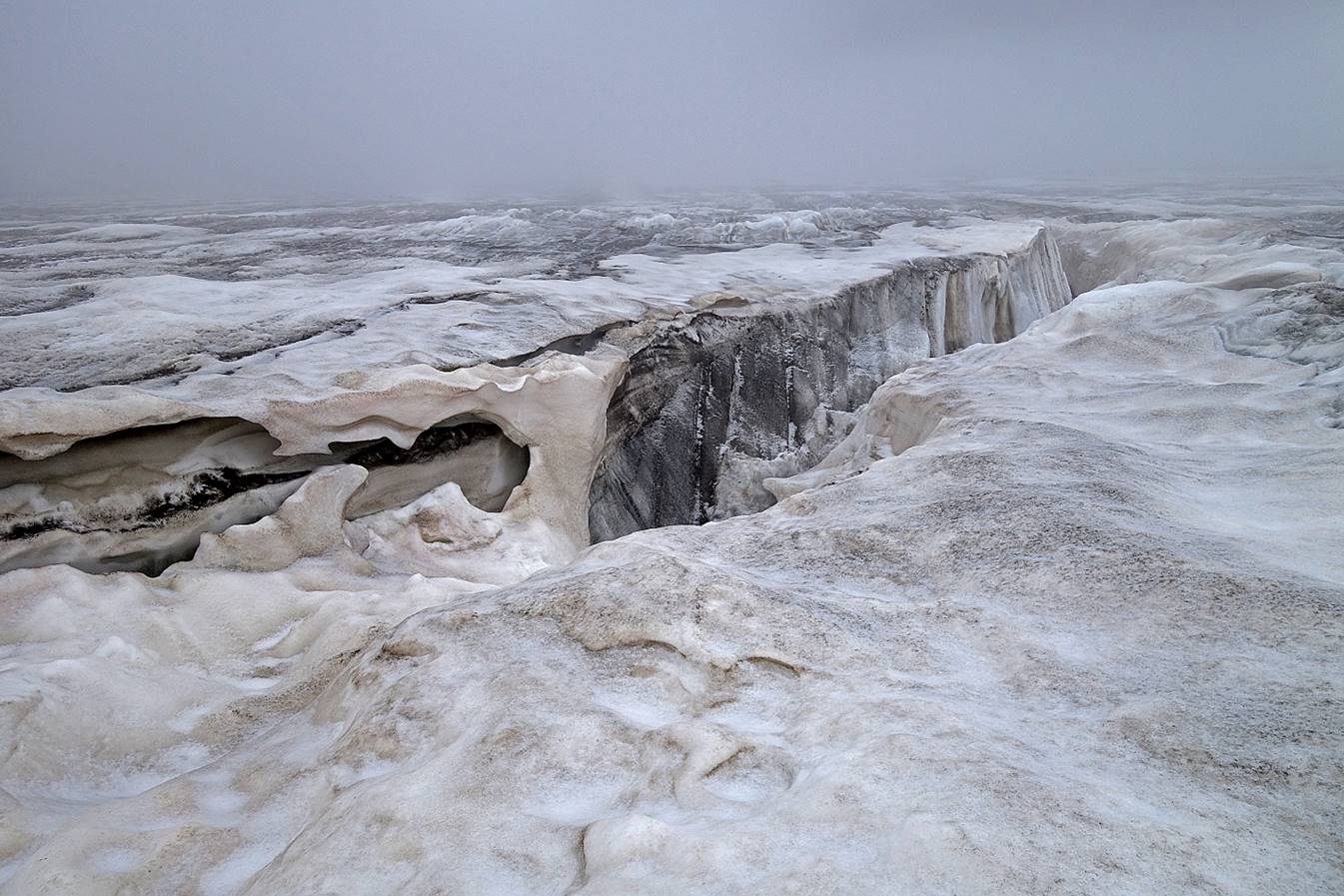
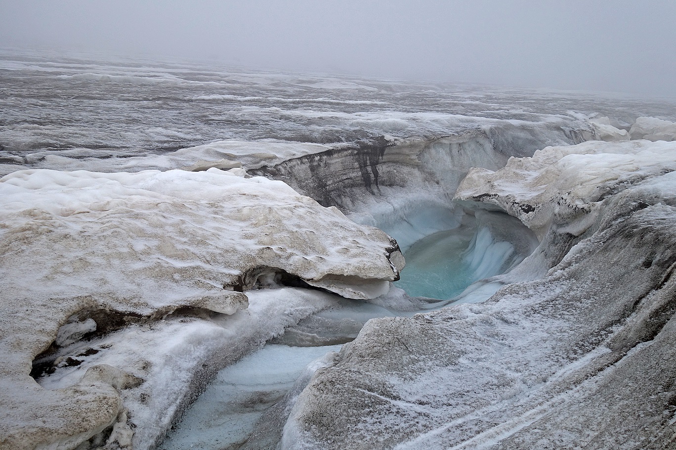
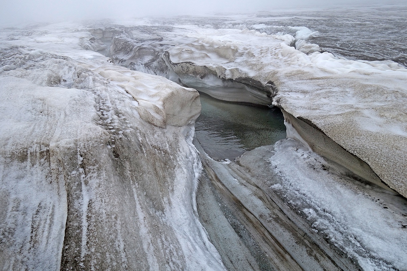
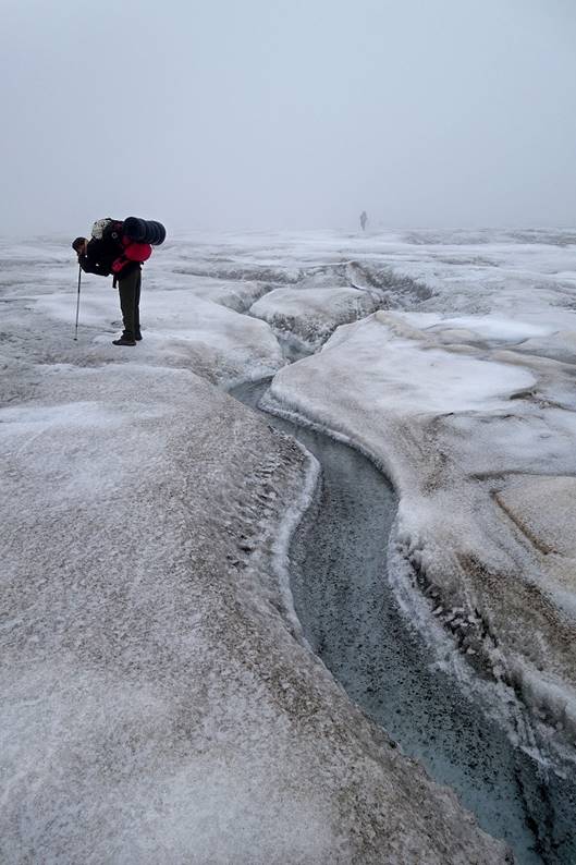
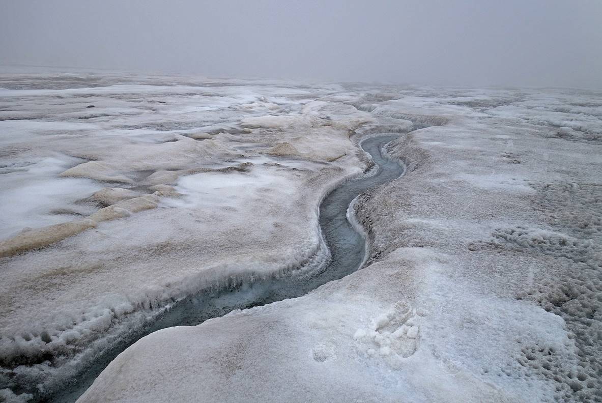
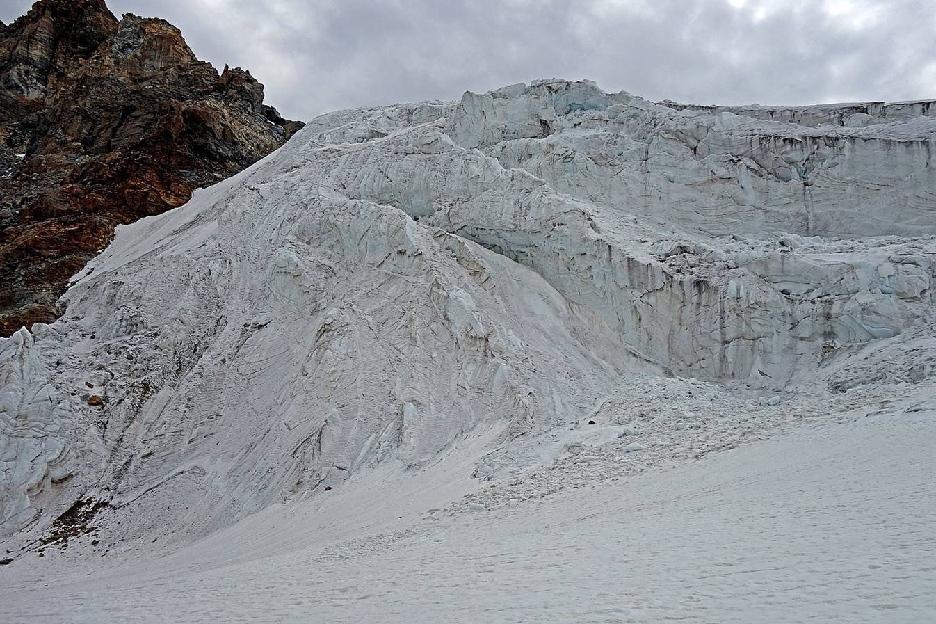
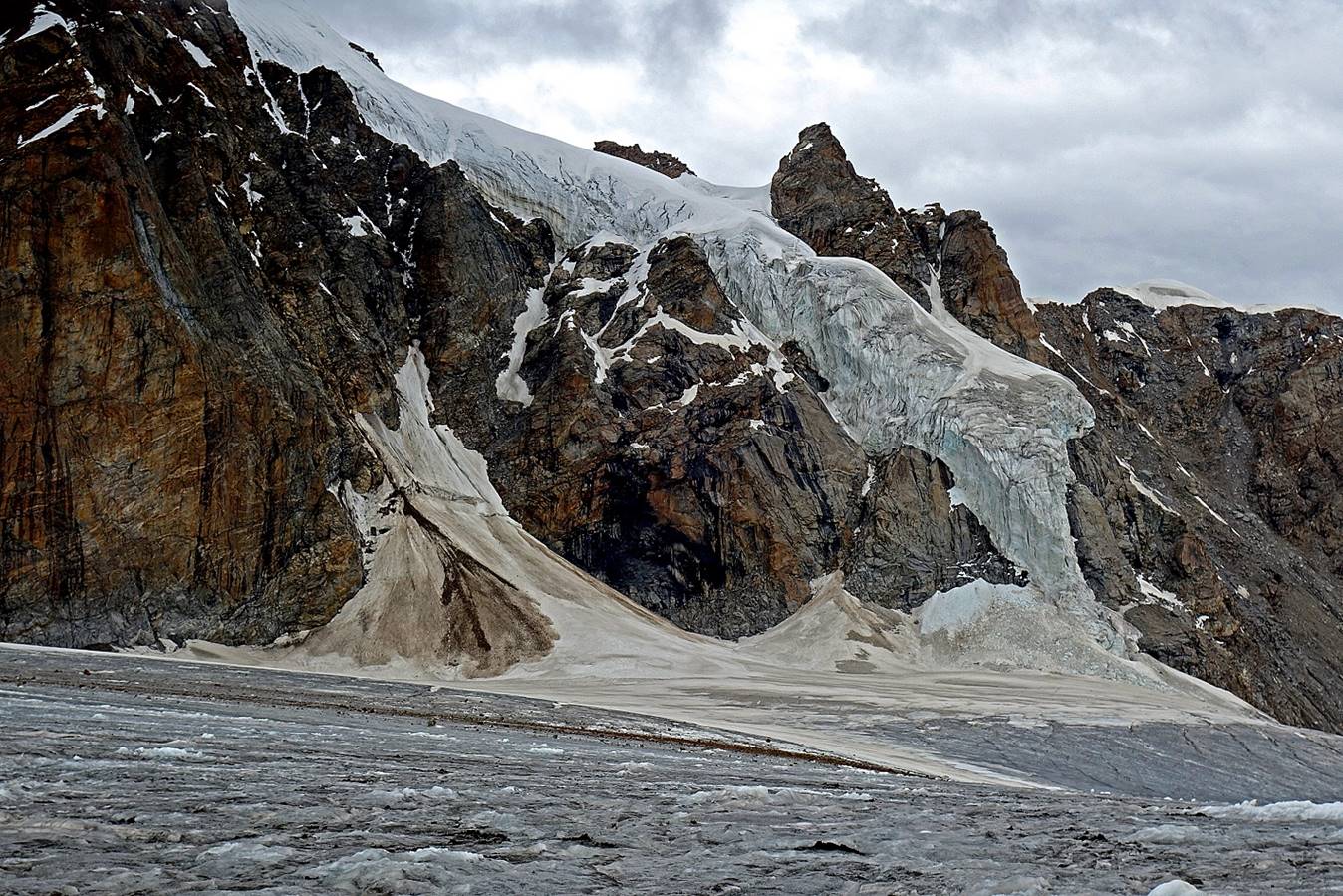
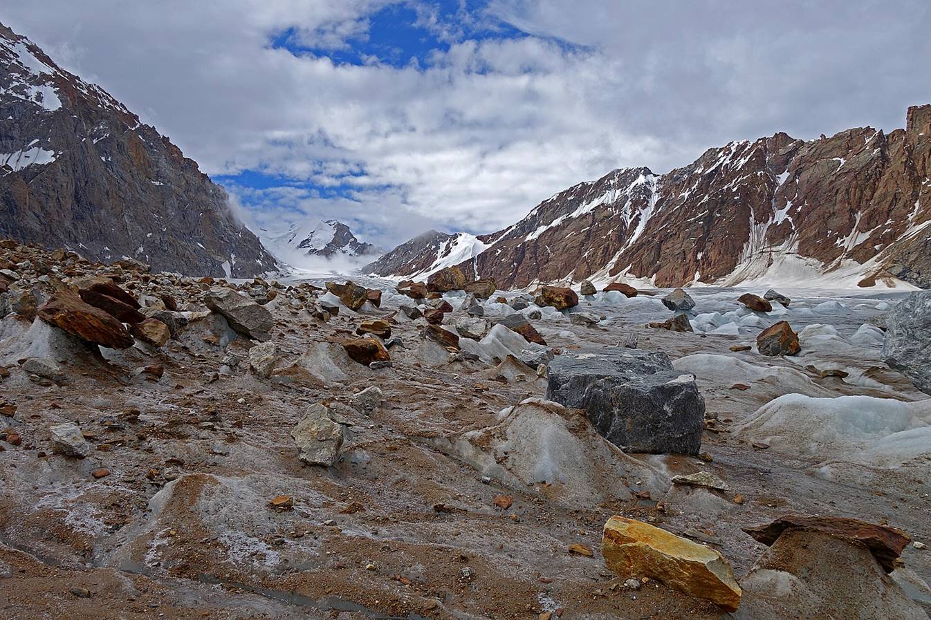
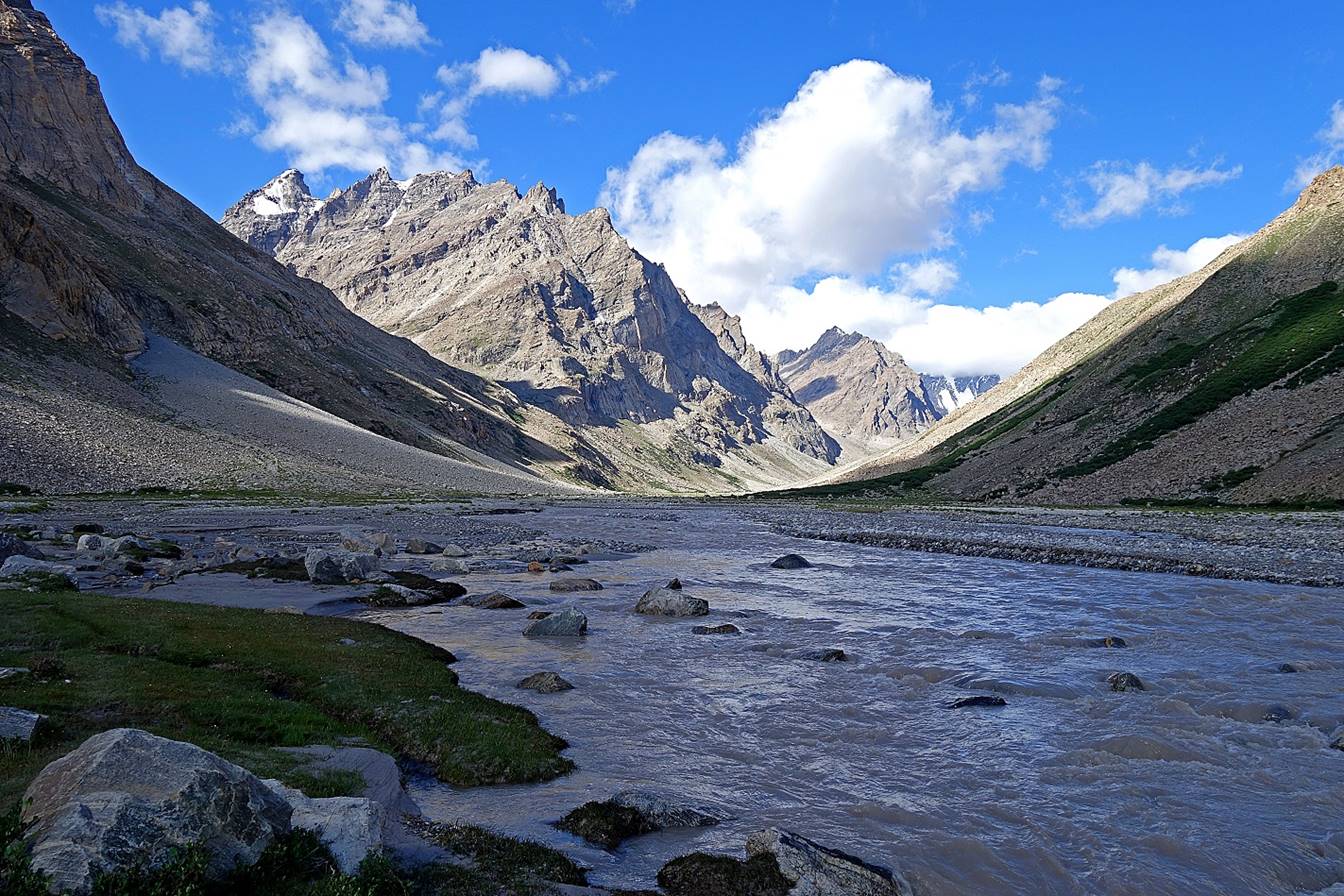
Crevasse and rivers.
|
|
|
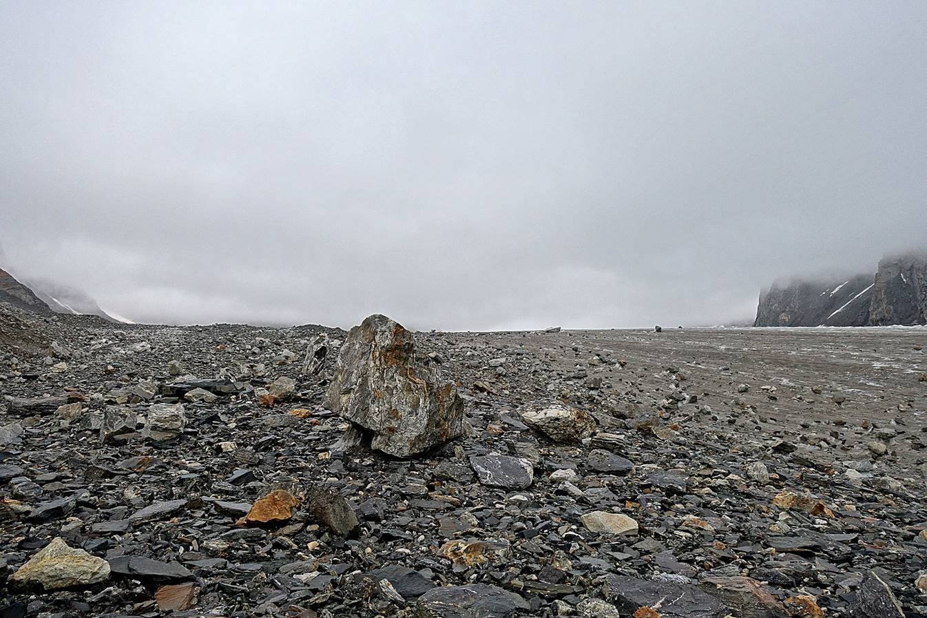
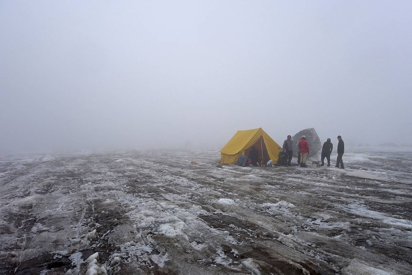
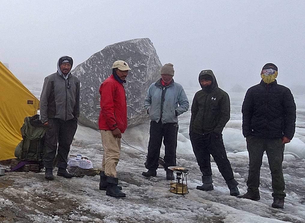
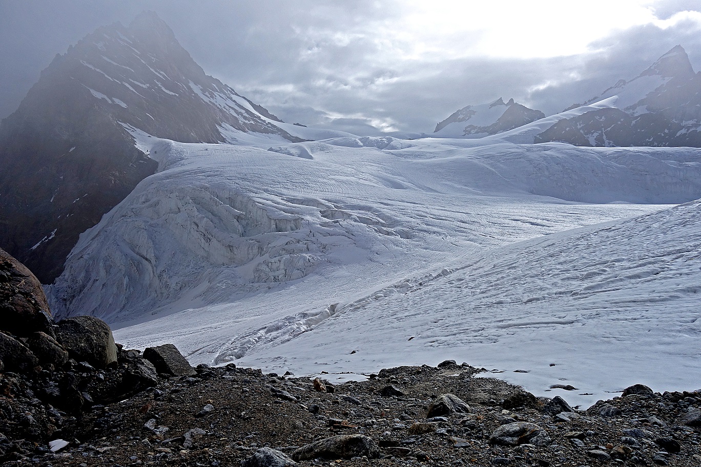
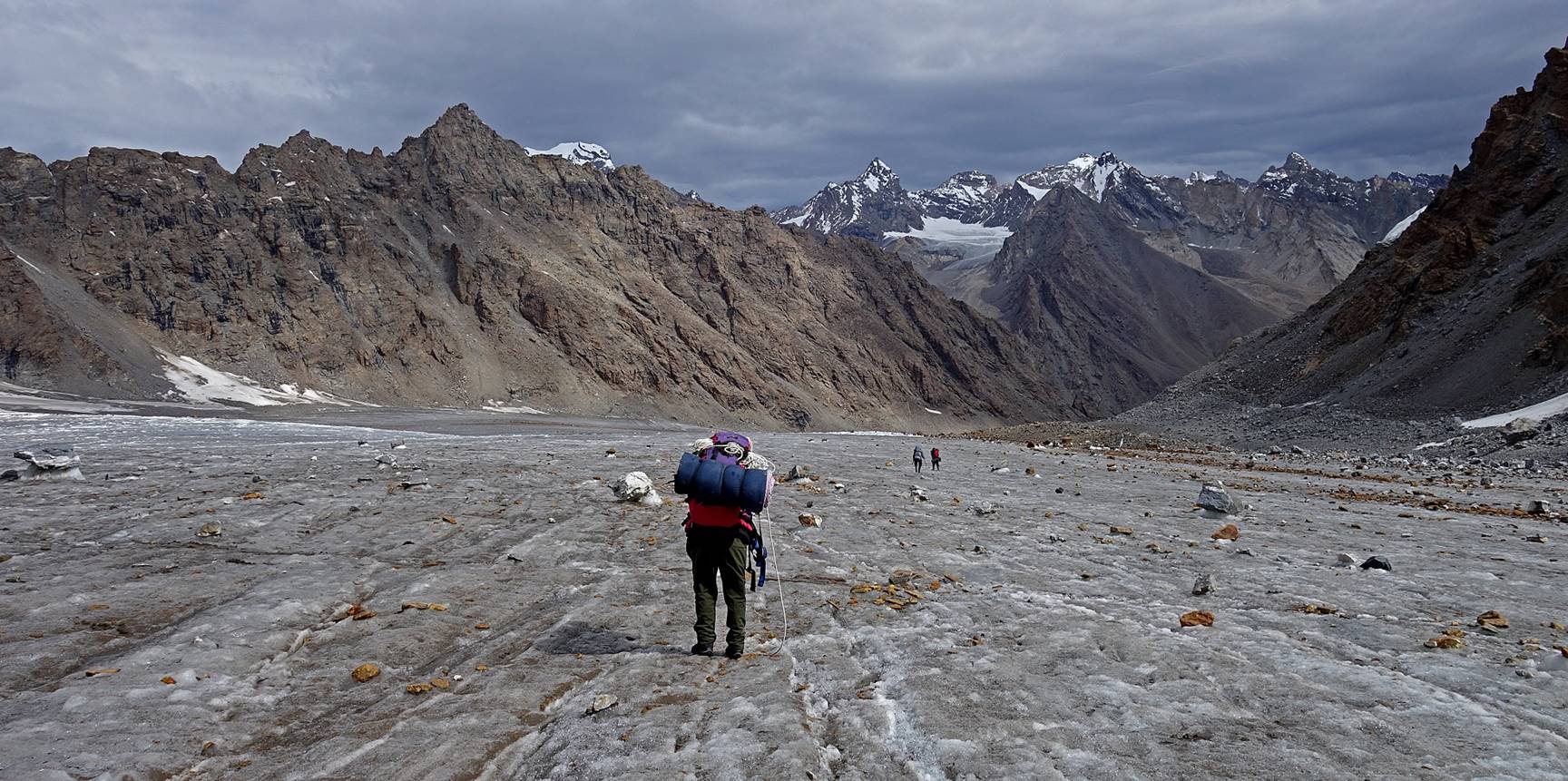
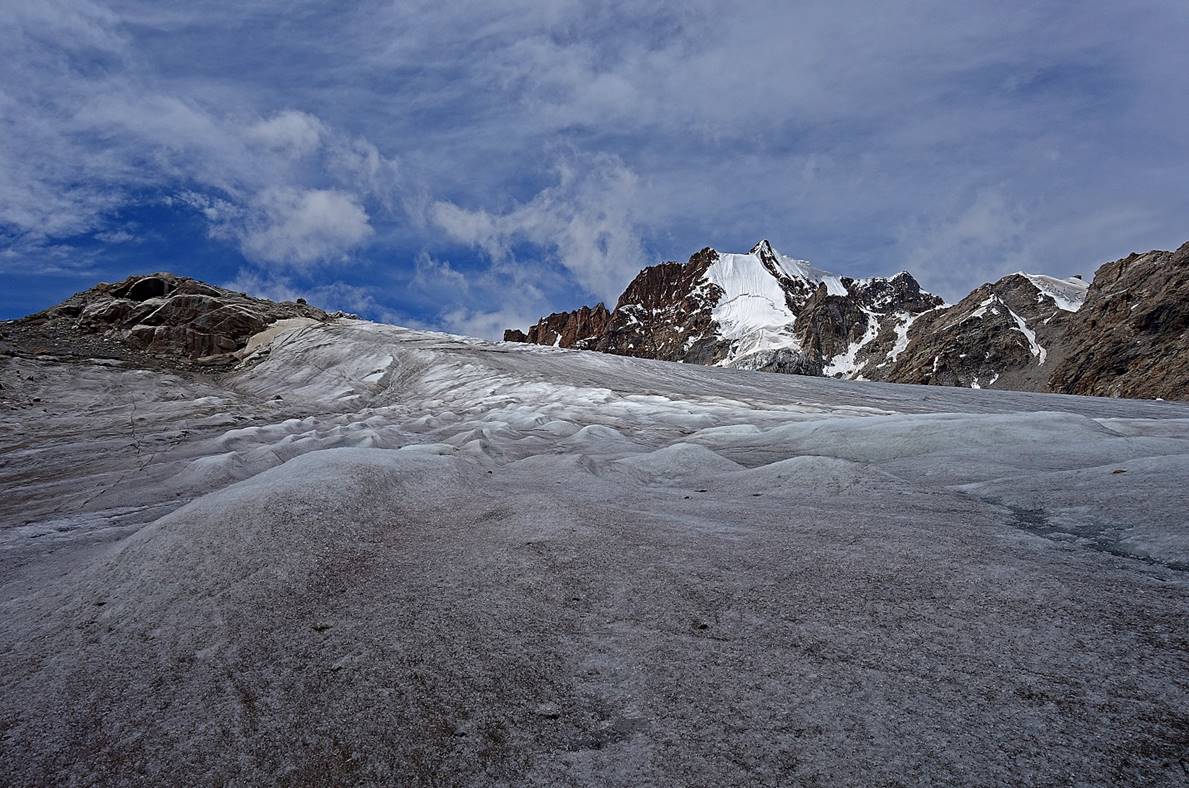
Lack of visibility eventually led us to
cancel our attempt to cross the pass on that day. The upper part of the glacier
widens and is ridden by more crevasses, making it trickier and more hazardous
to navigate toward the pass. We set our sixth camp directly on the glacier (WP
#36).
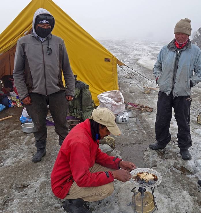
We burnt grains of rice that had been blessed by the Dalai Lama, hoping
that it will bring better weather.
|
|
|
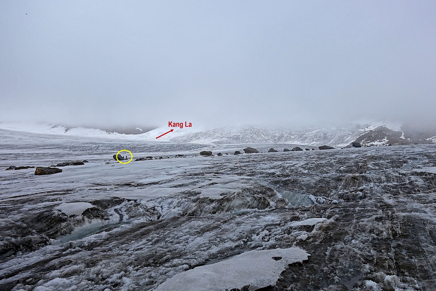
In the late afternoon visibility
improved slightly and the direction toward the pass became clearer. Two members
of the group went up to explore the upper part of the glacier.
We all slept in the same tent in good spirit, hoping for the best on the
next day.

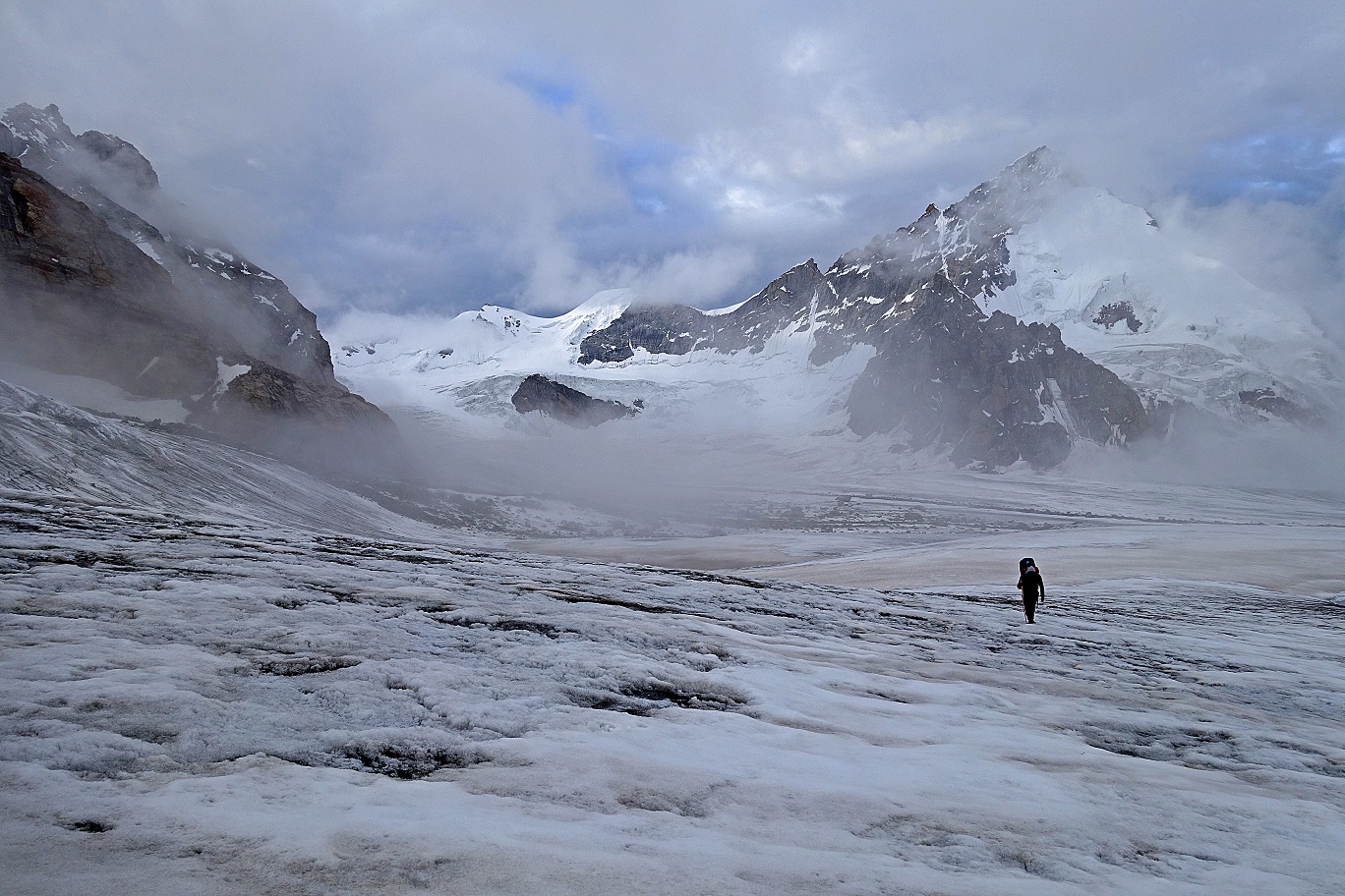
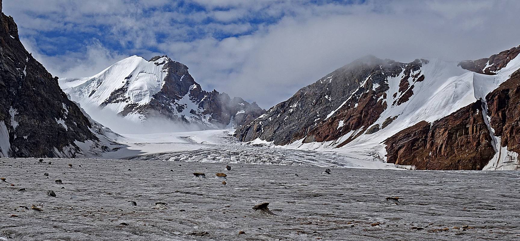
Day 6:
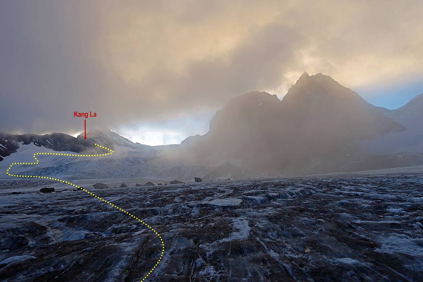
On the next morning we could see Kang La and surrounding peaks. Initially,
the weather looked somewhat unstable, but turned out to be good during the
entire day.
We took a light breakfast (coffee, tea, and biscuits), packed, and left.
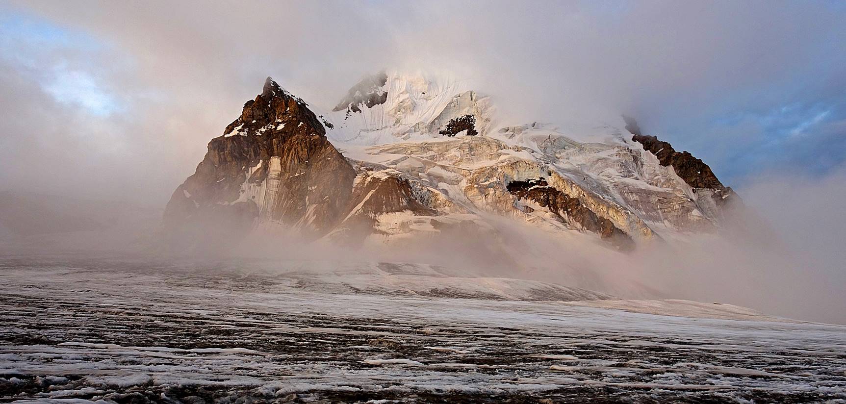
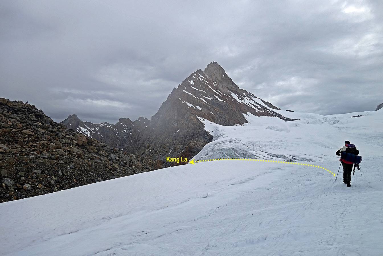
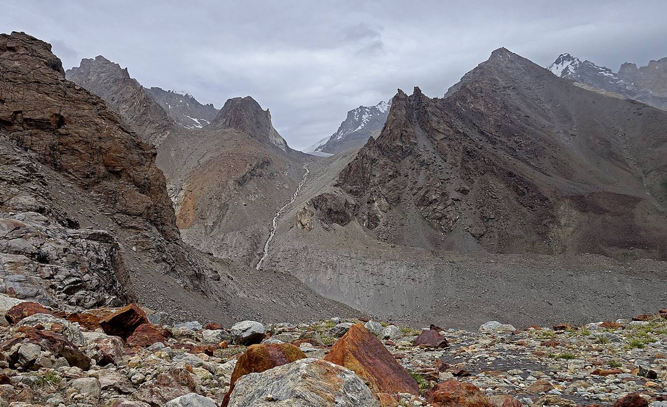
Views during the ascent of the pass.

Reaching the pass (WP #38).
Installing prayer flags in the rocky outcrop on the left of the pass.
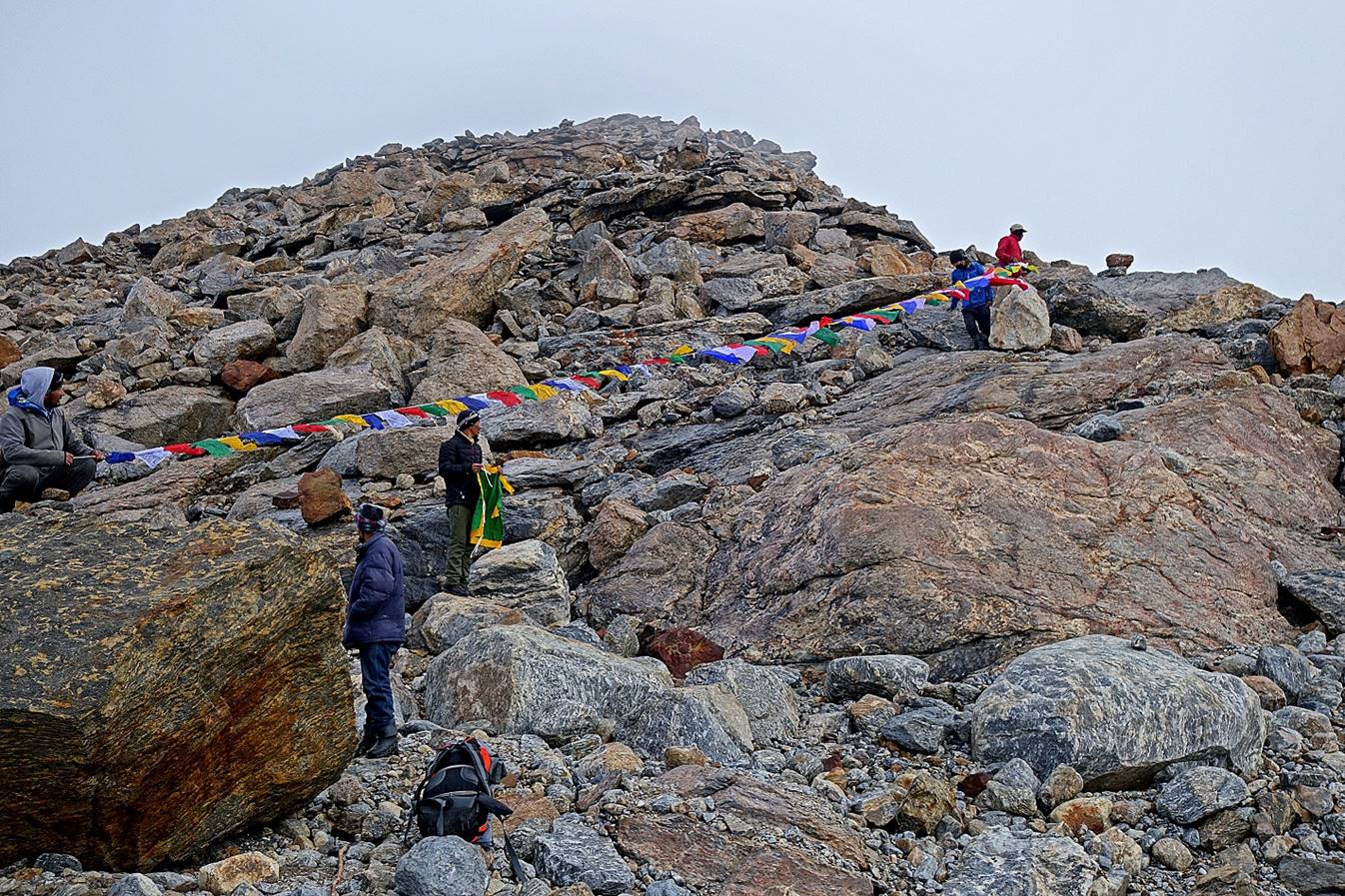
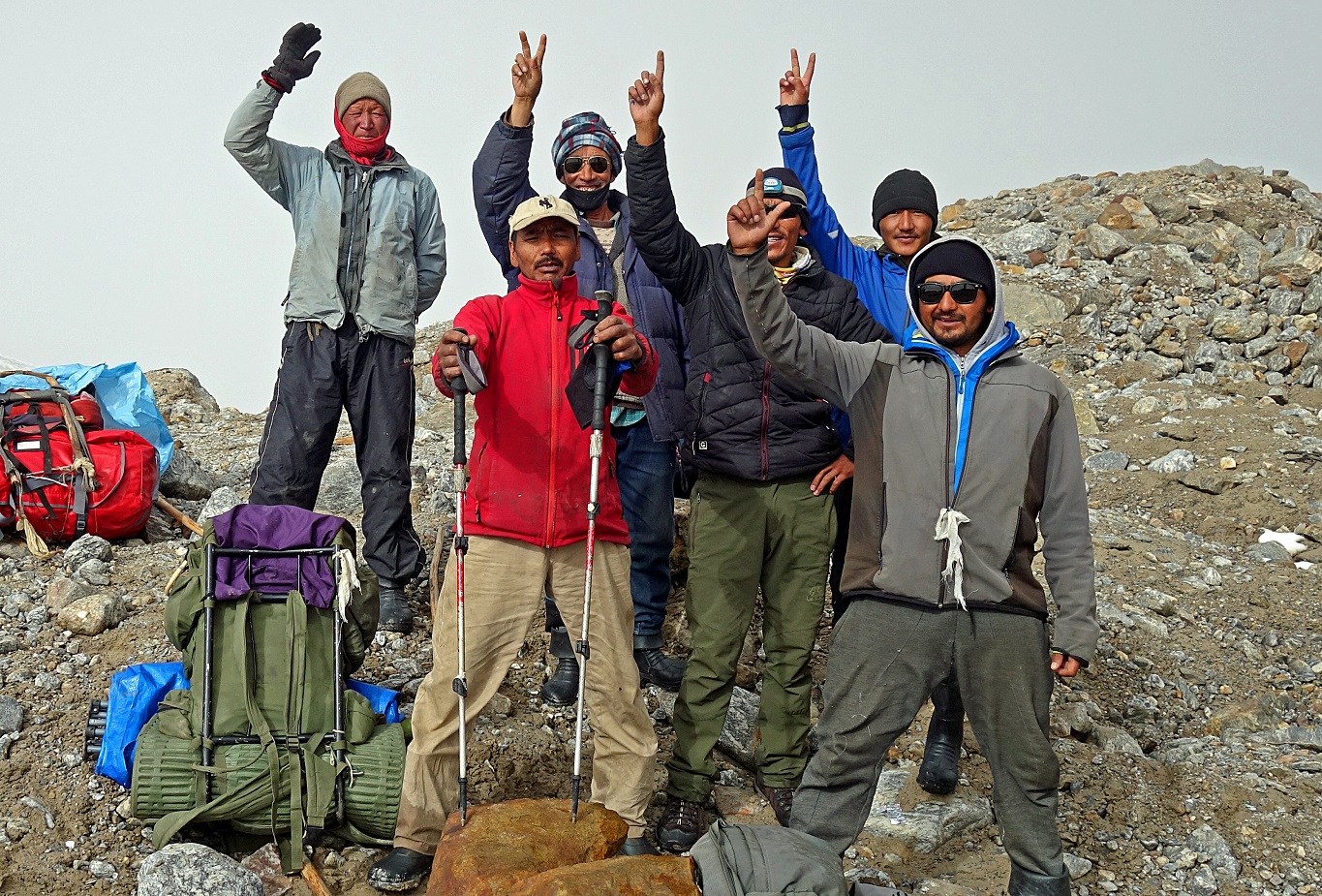
Then celebrating our achievement.
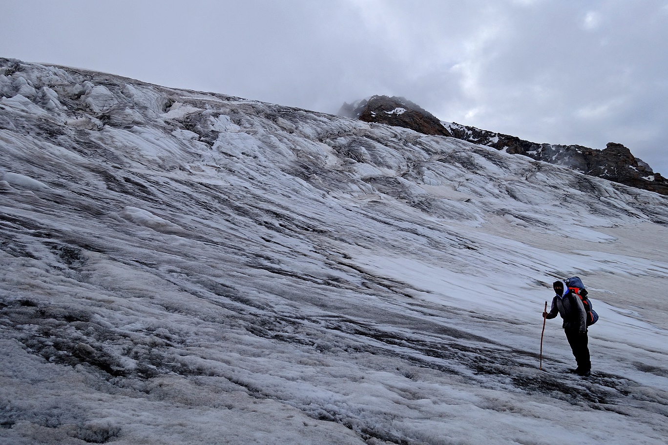
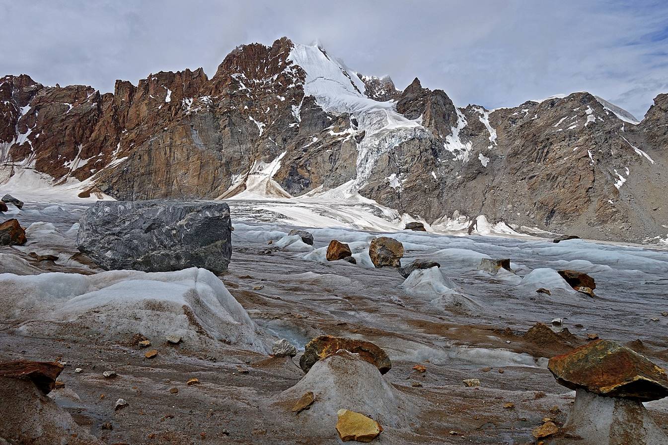
Beginning of the descent on the glacier on the northern slope of the
pass.
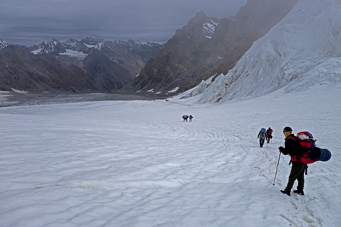
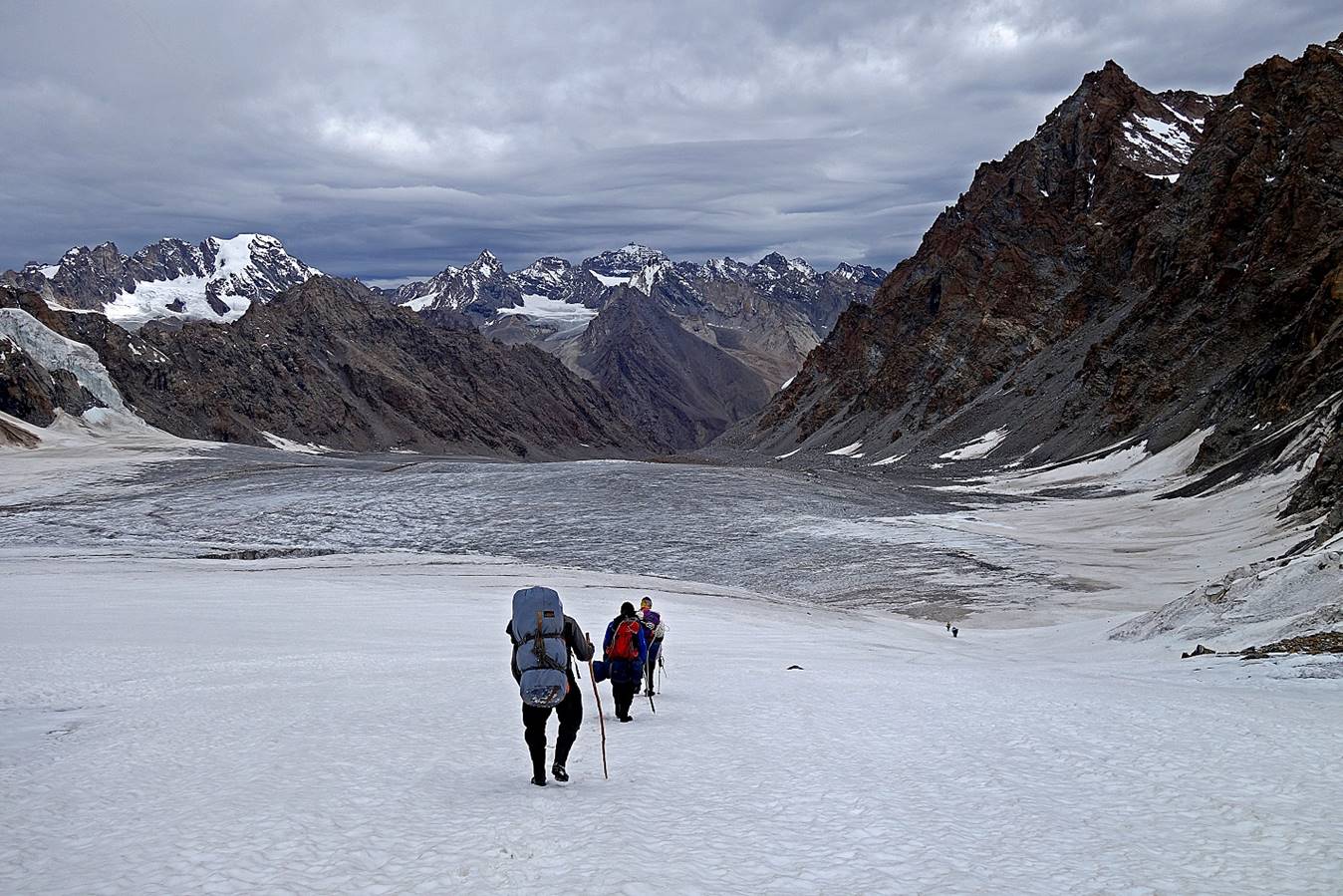
Views during the descent.
Looking back at the pass.
Further down.
|
|
|

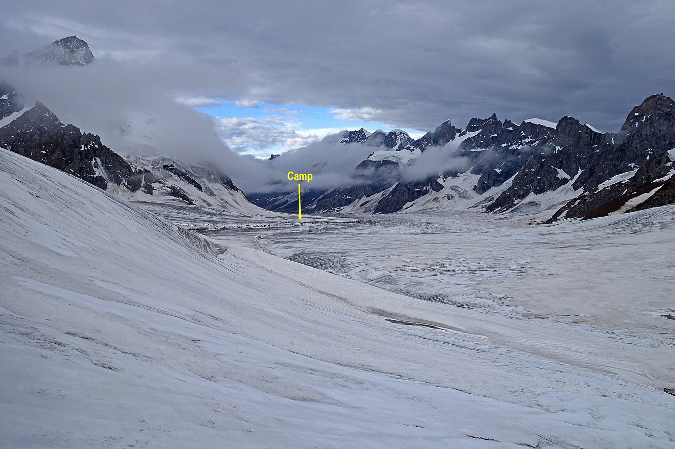
Reaching the lower end of the glacier.
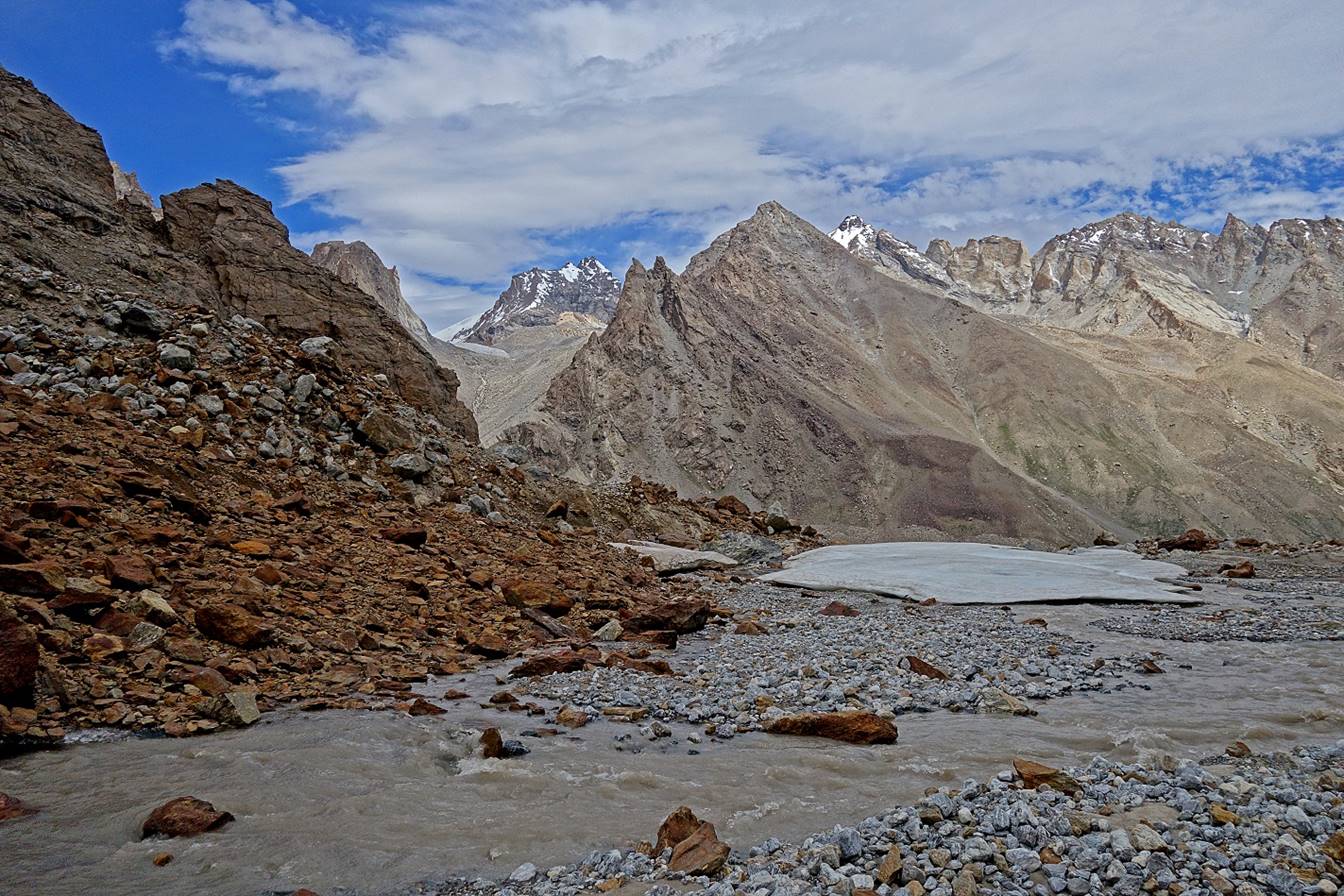
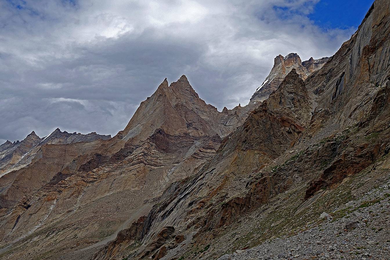
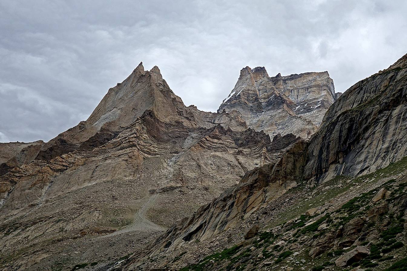
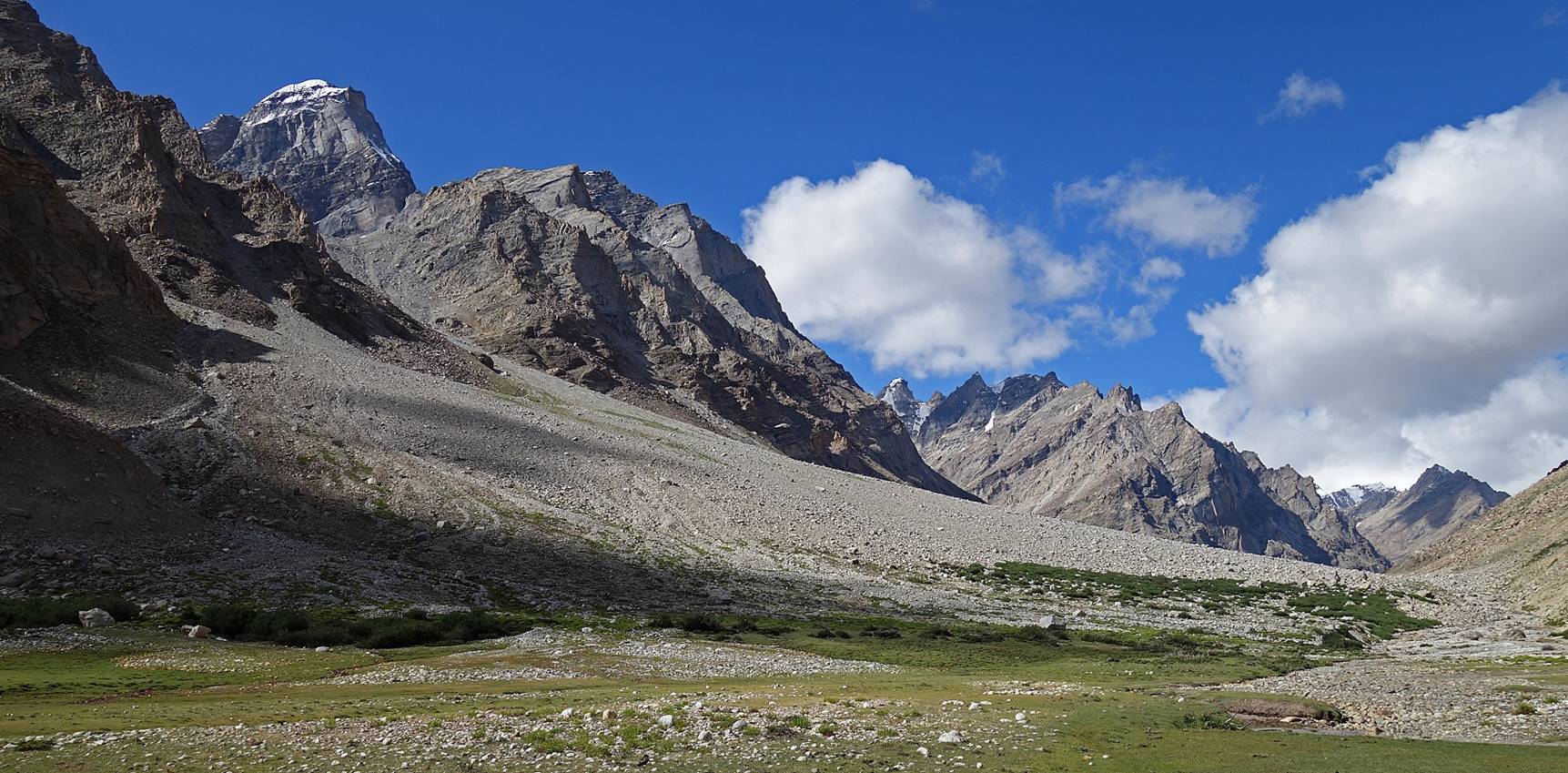
We put our seventh and last camp of the leg at WP #43 below a beautiful
range of spiky rock peaks, so typical of Zanskar
landscape.

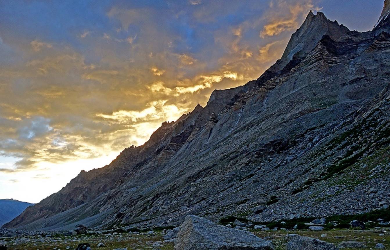
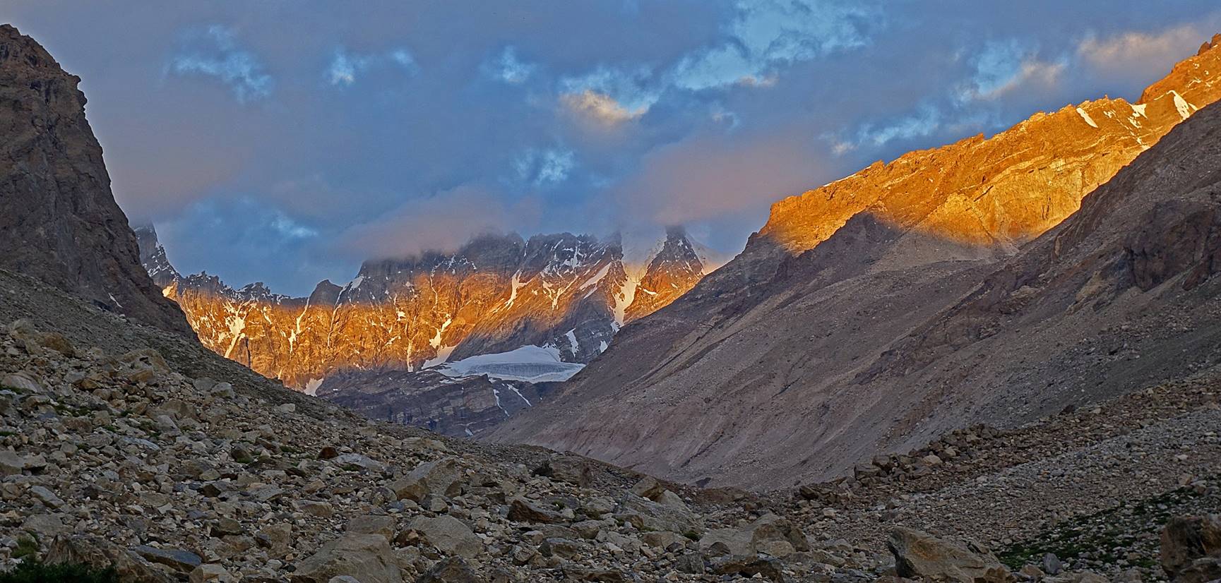
Day 7:
Spectacular sunrise behind the peak range.
Looking back toward the south from the camp.
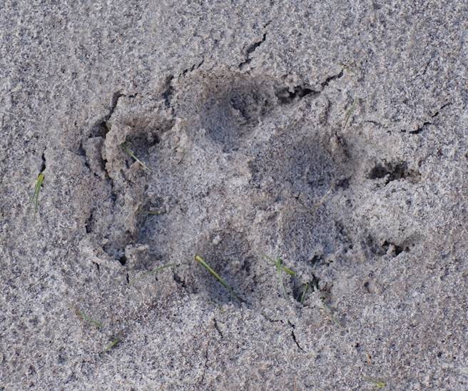
Fresh footprints of wolves near our camp. We had been observed while we
were still sleeping!
|
|
|
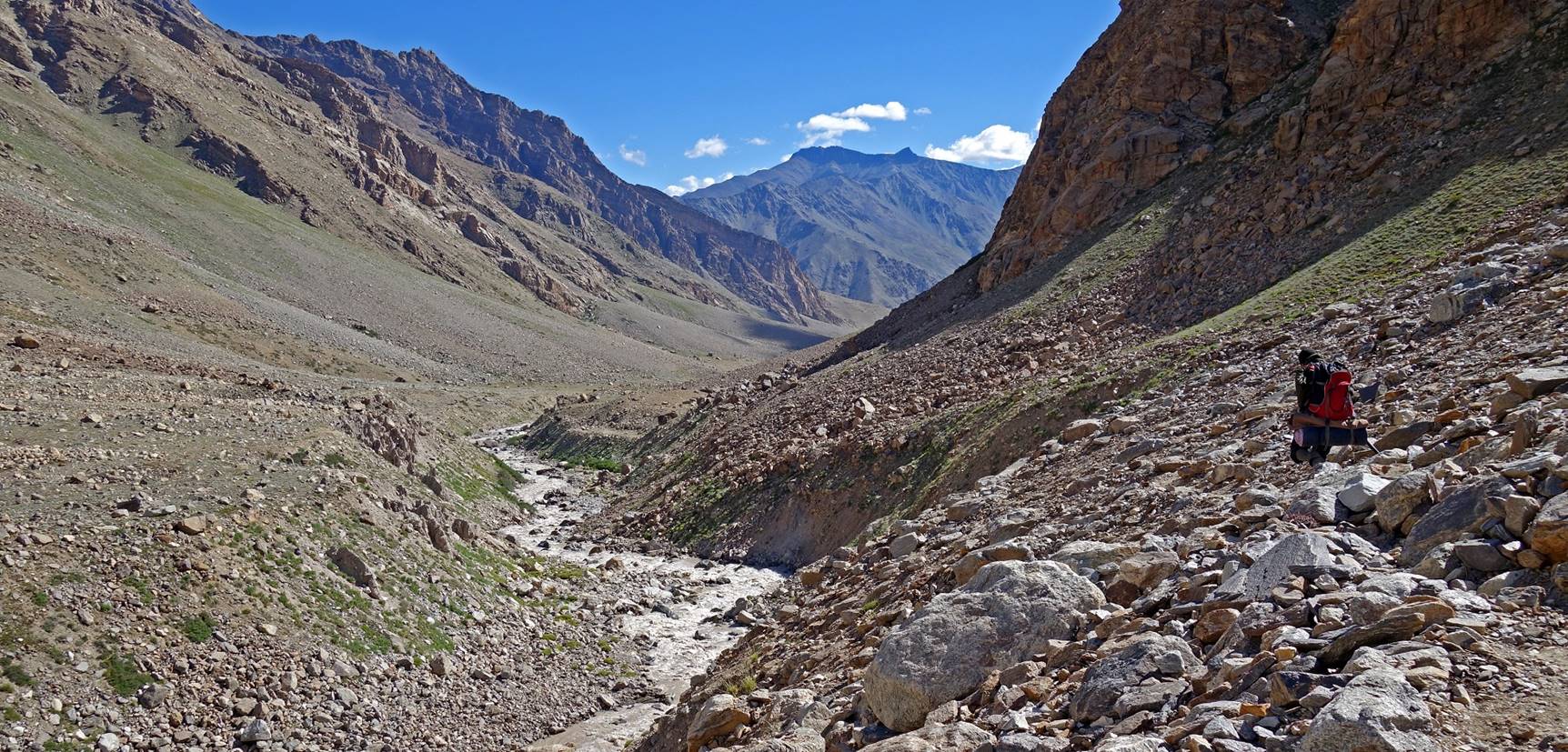
On the way down.

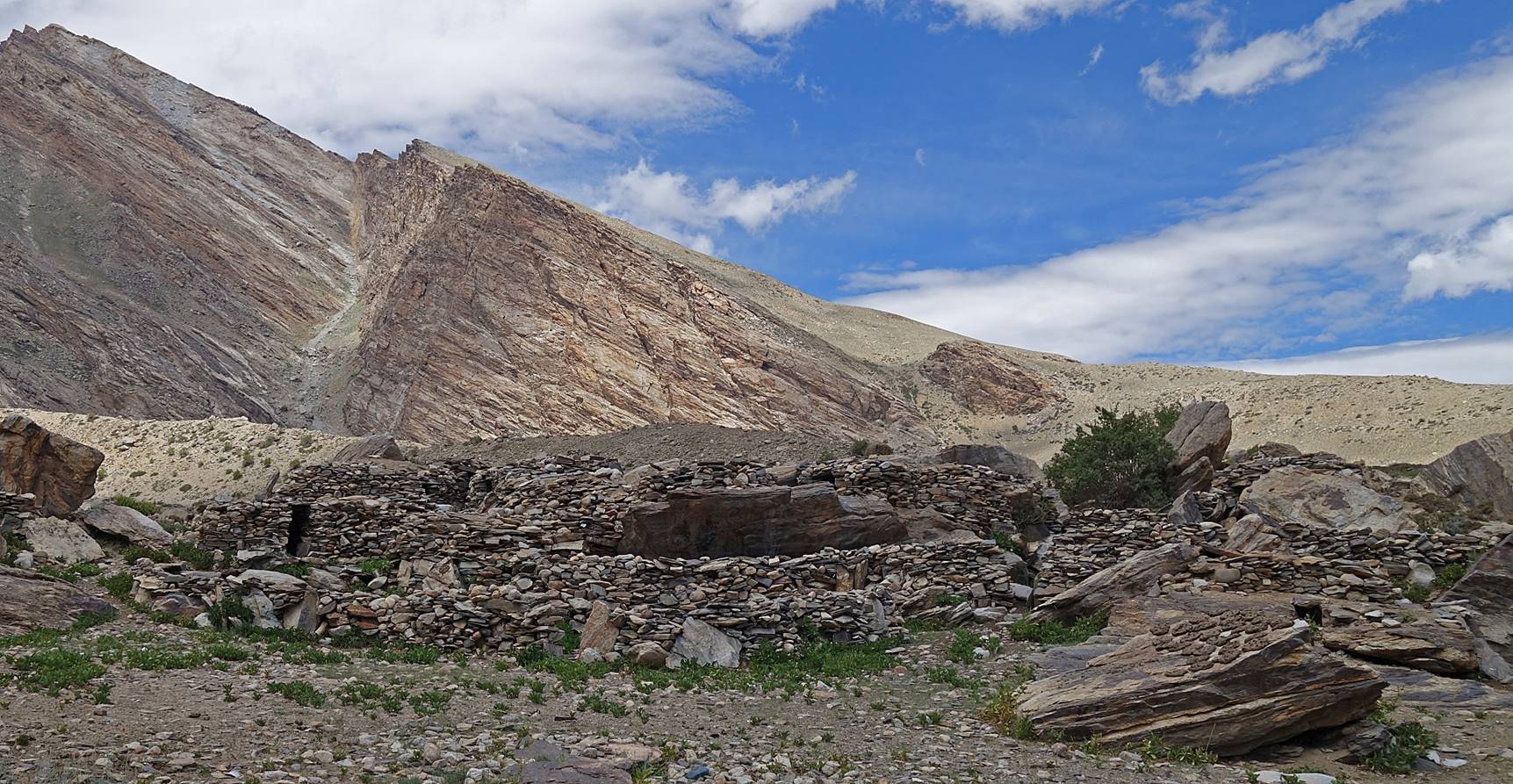
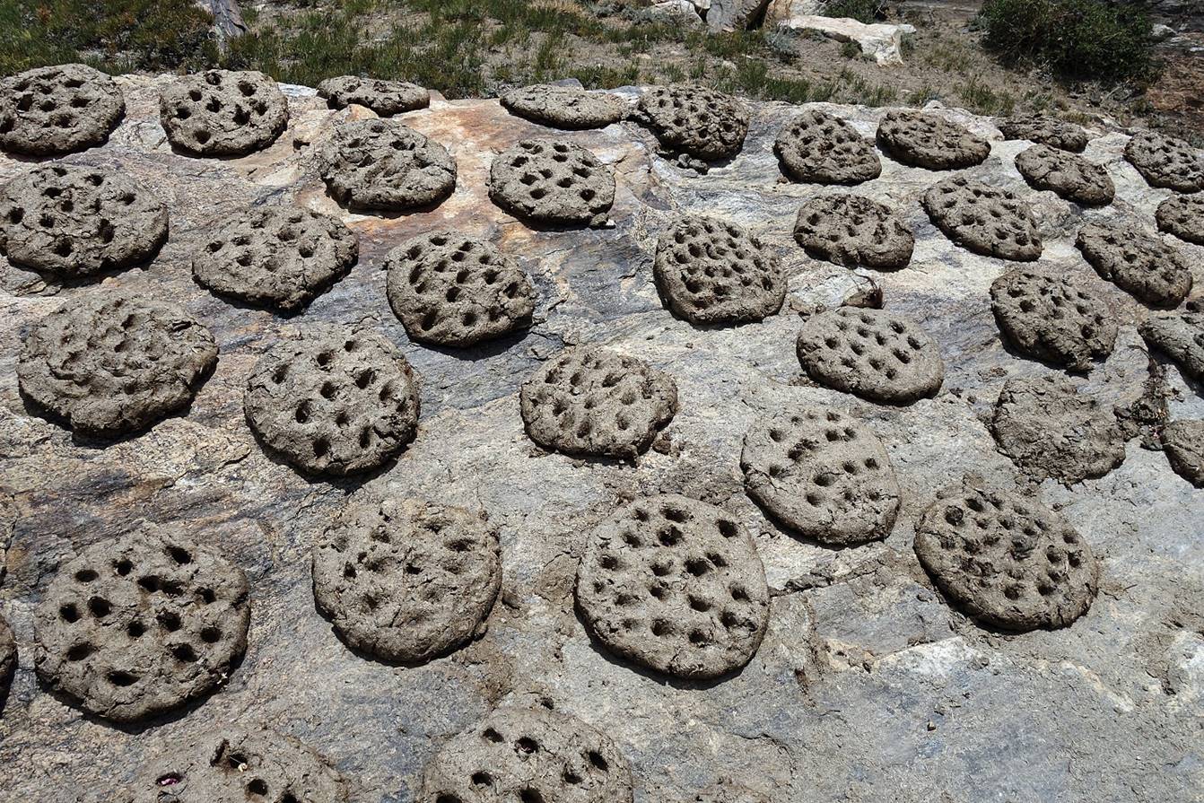
Shepherd houses with yak dung patties drying in the sun, which will be
used as an excellent combustible during the cold winter months.
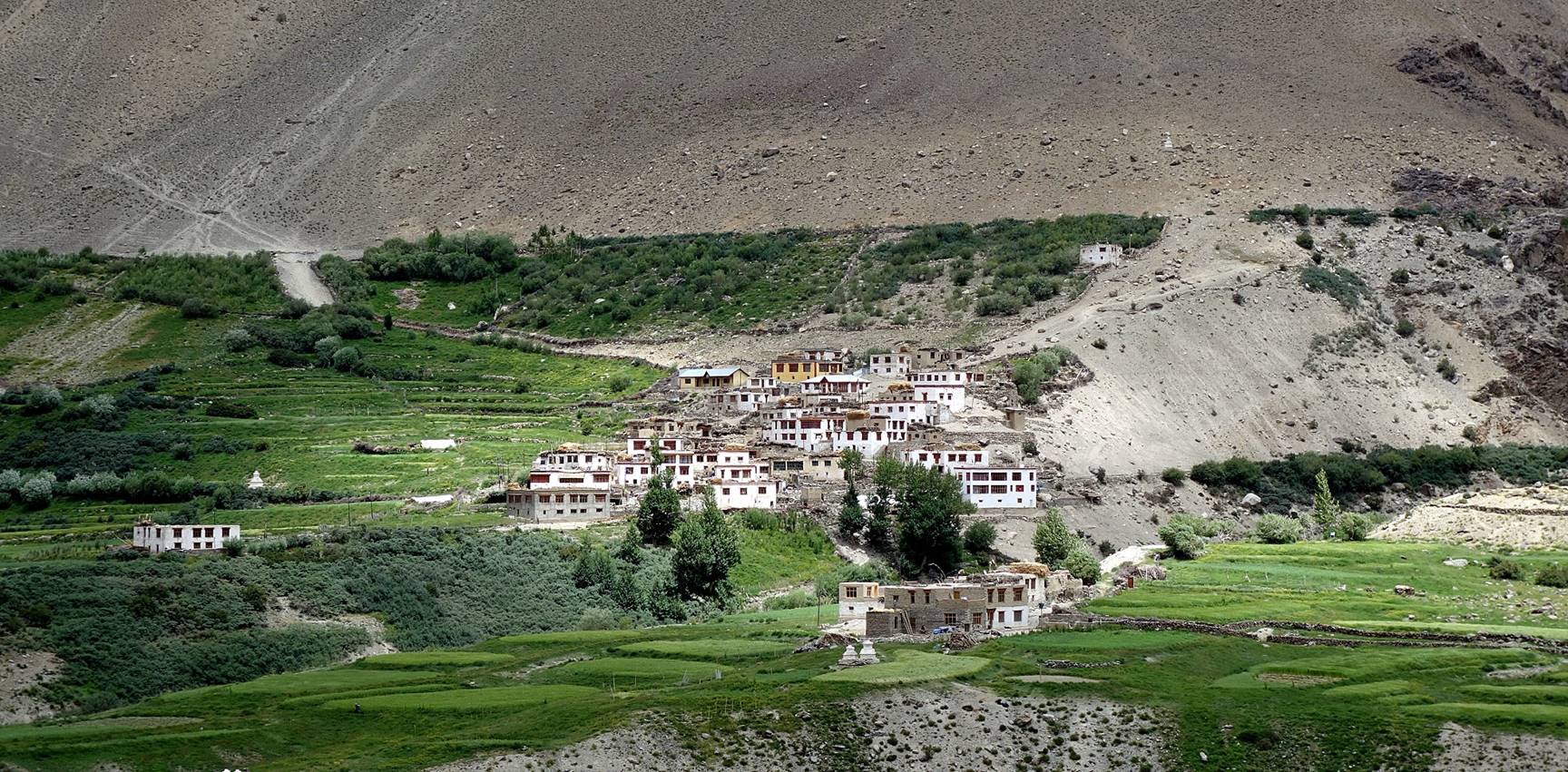
Typical Zanskari
village seen across the Tsarap river from WP #49, the
terminus of this first leg of the trek. From there we easily found a car that
drove us to Padum.
![]()