India
(July-August 2019): A meandrous 24-day trek in the Kargil
and Kishtwar districts of Ladakh
and Jammu & Kashmir
Leg
2: From Rangdum to Pishu
(Part 1/3)
|
|
Return
to main India 2019 webpage
Views of the itinerary in Google
Earth:
[Reminder: Click here
(kmz file) and open the downloaded file in Google
Earth to access the GPS waypoints that I recorded during the trek: red pins for
starts and finishes, green for camps, brown for passes, and yellow for other
waypoints. Orange markers have been added by hand; they are not GPS waypoints.]
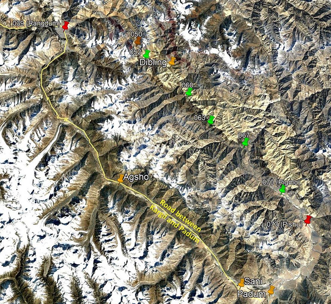
View of the entire second leg, with only
a subset of GPS waypoints.
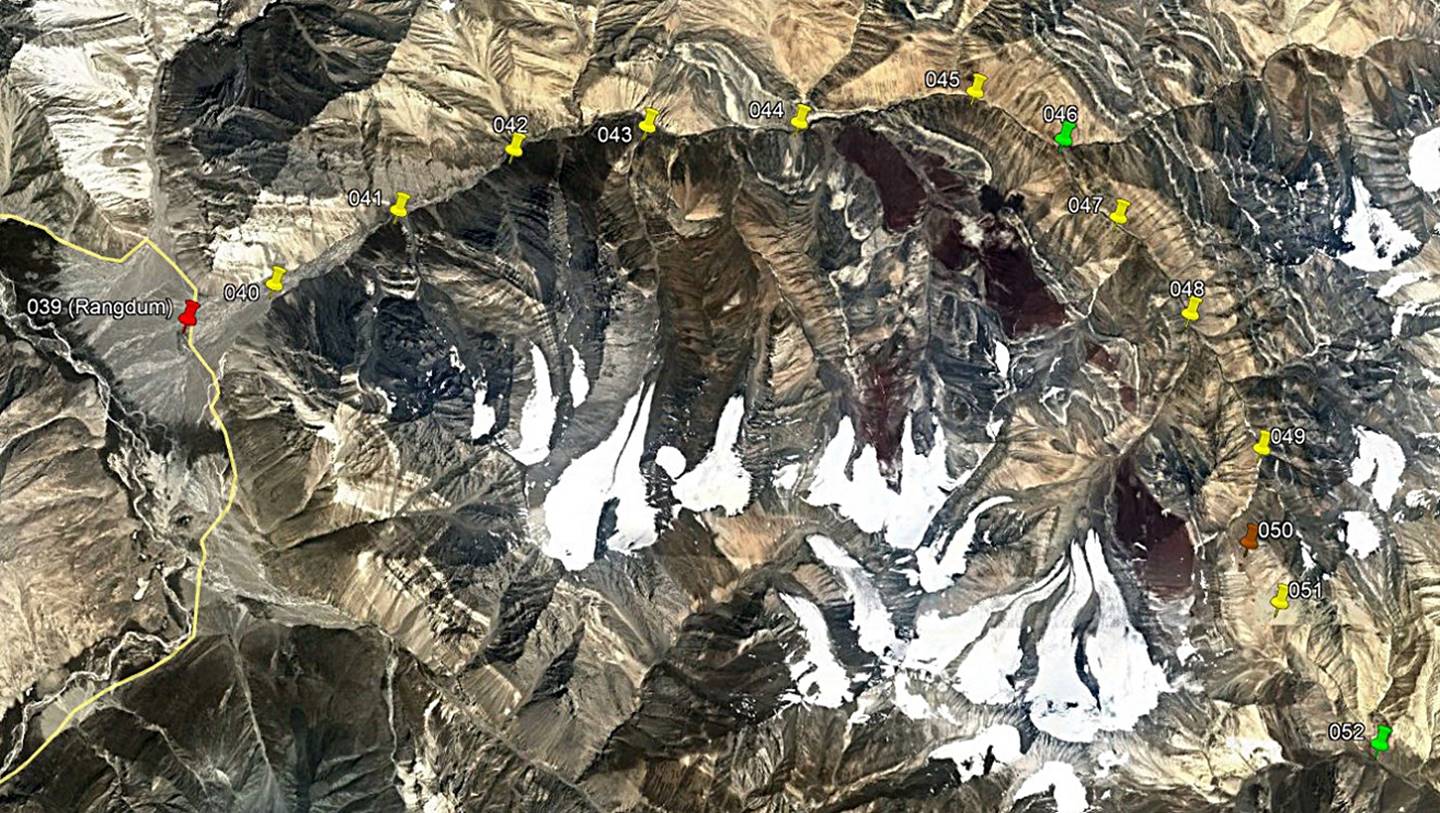
View of the first part of the second
leg, with all the waypoints.
Brief description:
This first part of the second leg of the
trek starts at the Rangdum gompa
(WP #039) reached by car on the previous day. Tundup Chospel, who arrived the day before from Leh, replaced Nima as the guide
for the rest of the trek. On the first day we hiked upward the valley of the
Kanji-La Togpo (river) toward the east. After passing
by steep gorges we set a camp (WP #046) above a large waterfall, at the
confluence of two rivers merging to form the Kanji-La Togpo.
On the next day we crossed a major, but easy pass, Pudzong
La (WP #050, 5020m), and set our camp (WP #052) south of the pass, a mere
couple of hours walk before the remote village of Dibling.
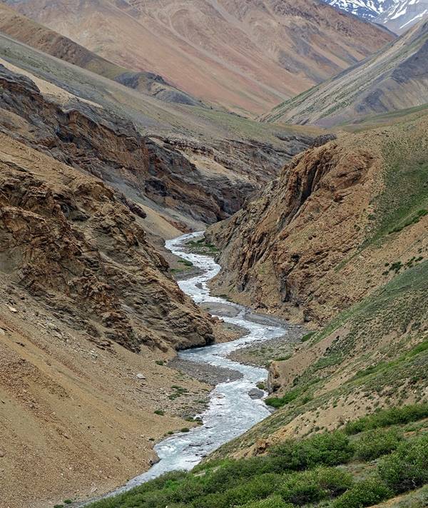
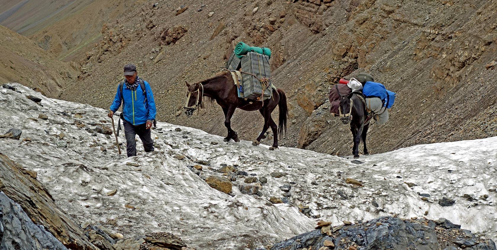
Day 9 (of
trek): From Rangdum to camp at WP #046 along the left
bank of the Kanji-La Togpo
Left:
Meanders of the Kanji-La Togpo. Right: Stream on the
right bank of the Kanji-La Togpo. (For the entire day, we stayed on the left bank of
the Kanji-La Togpo.)
|
|
|
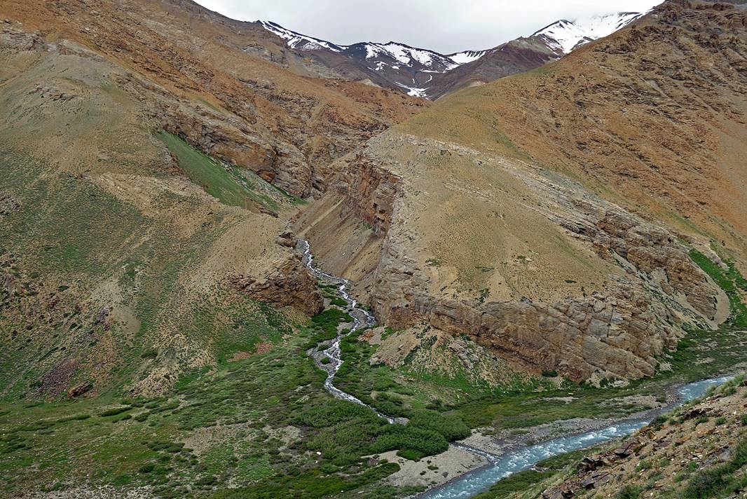
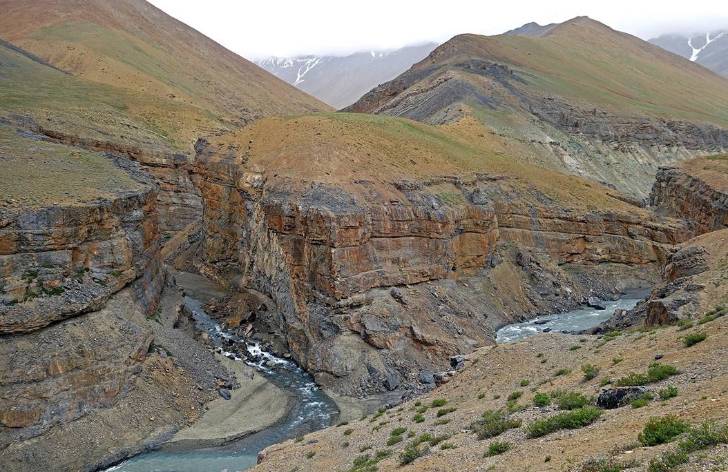
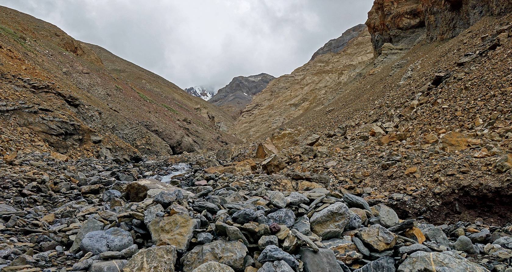
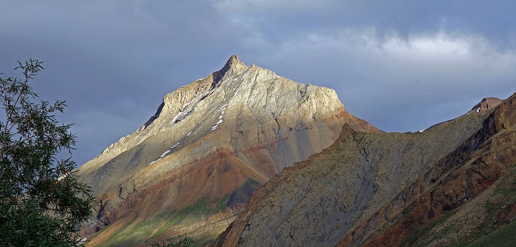
Deep canyon of the Kanji-La Togpo and one of its tributary.
|
|
|


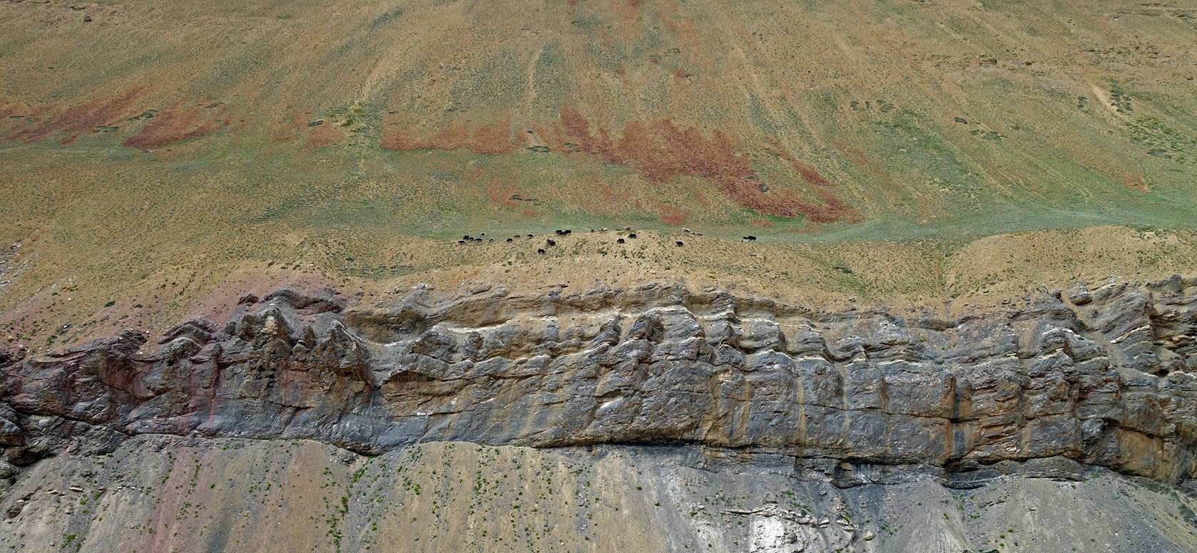
Herd of yaks above a cliff on the right
bank of the Kanji-La Togpo.

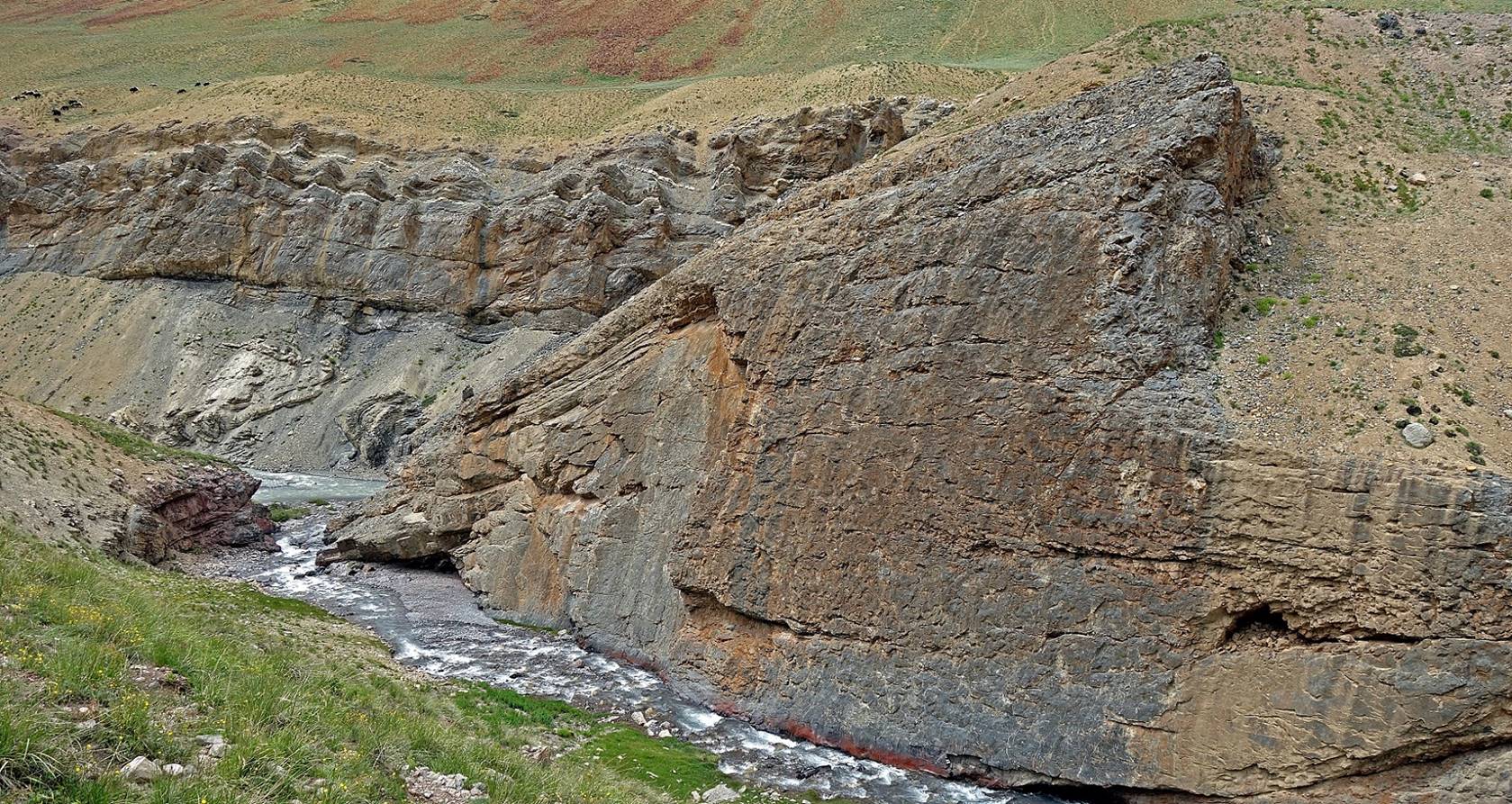
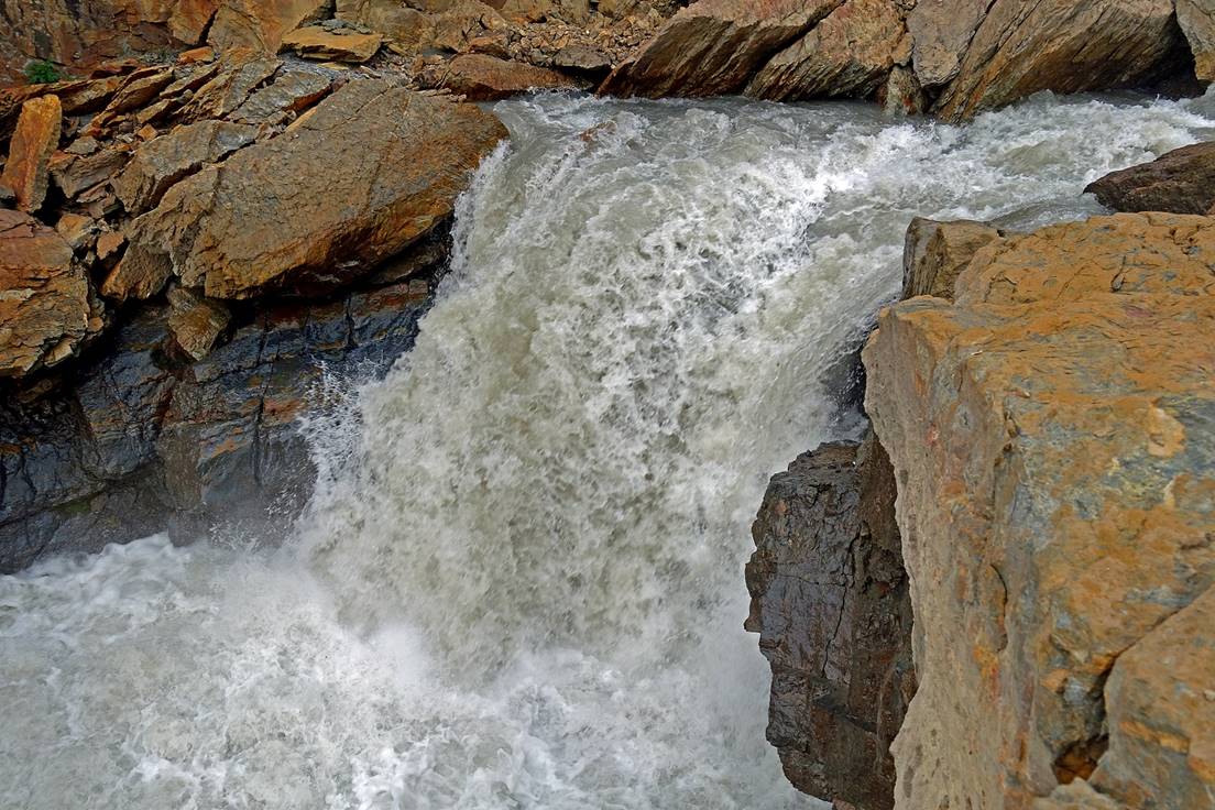
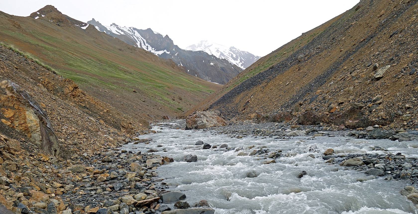
Reaching the
confluence where we set our camp (WP #046). The waterfall below the camp is
partially visible at the center-right of the picture.
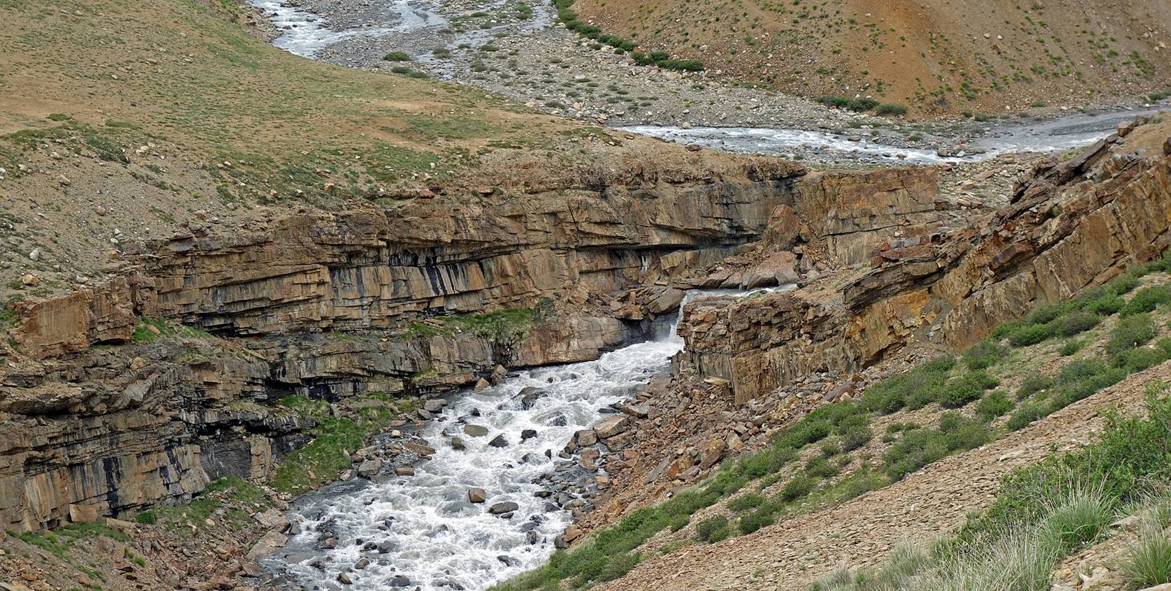
Left: A closer view of the waterfall.
Right: Meanders of one of the two merging rivers above the waterfall.
|
|
|

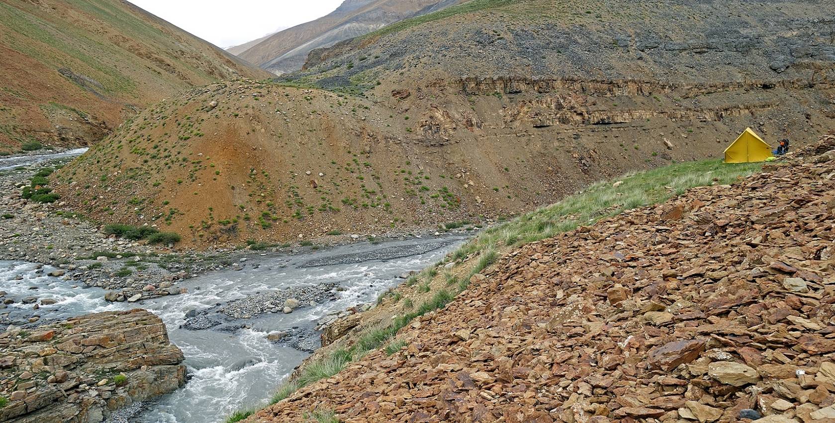
Our camp (WP #046). set on a small patch of grass.
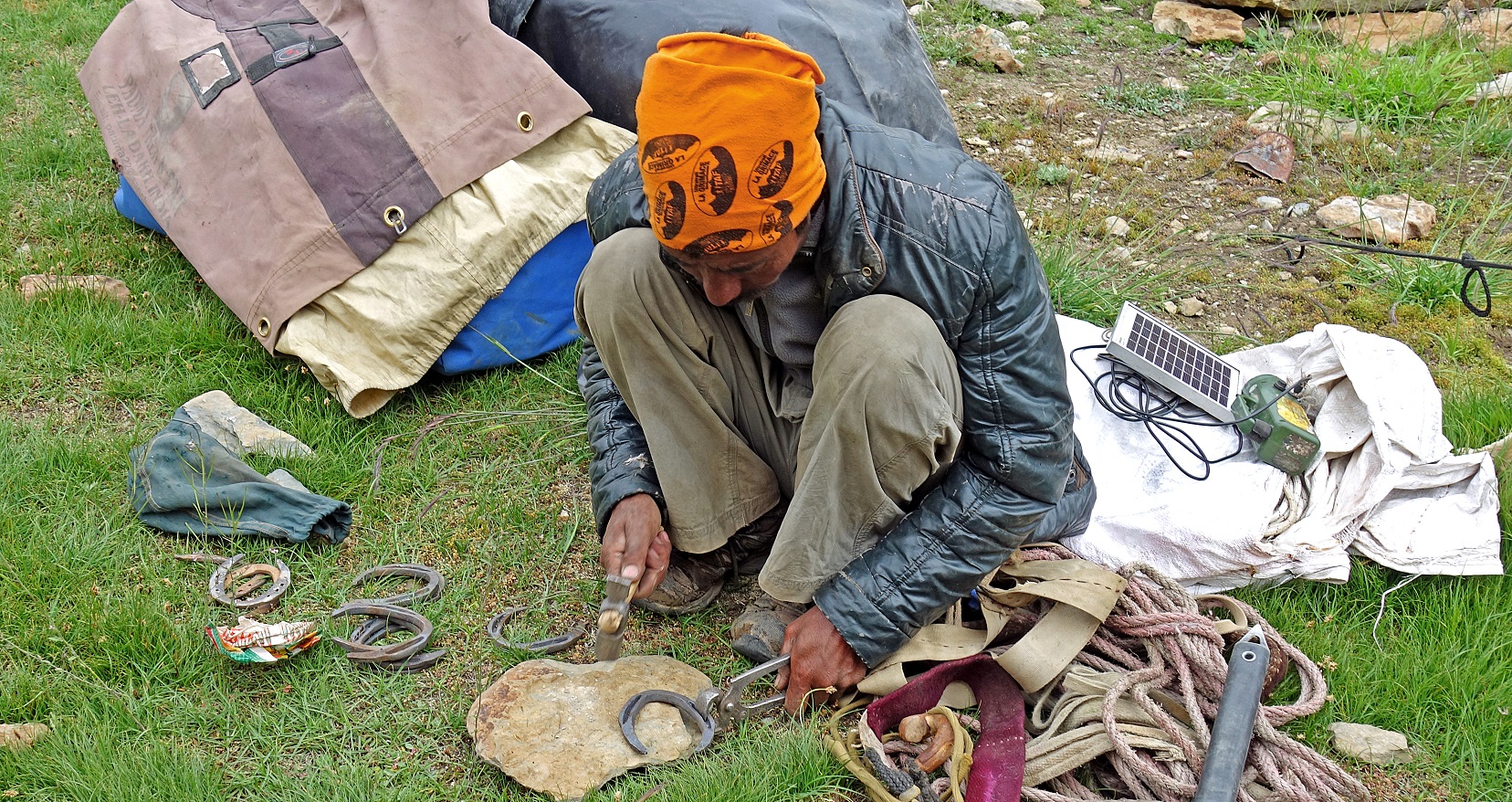
Dorje Tundup
fine-tuning horseshoes at the camp.
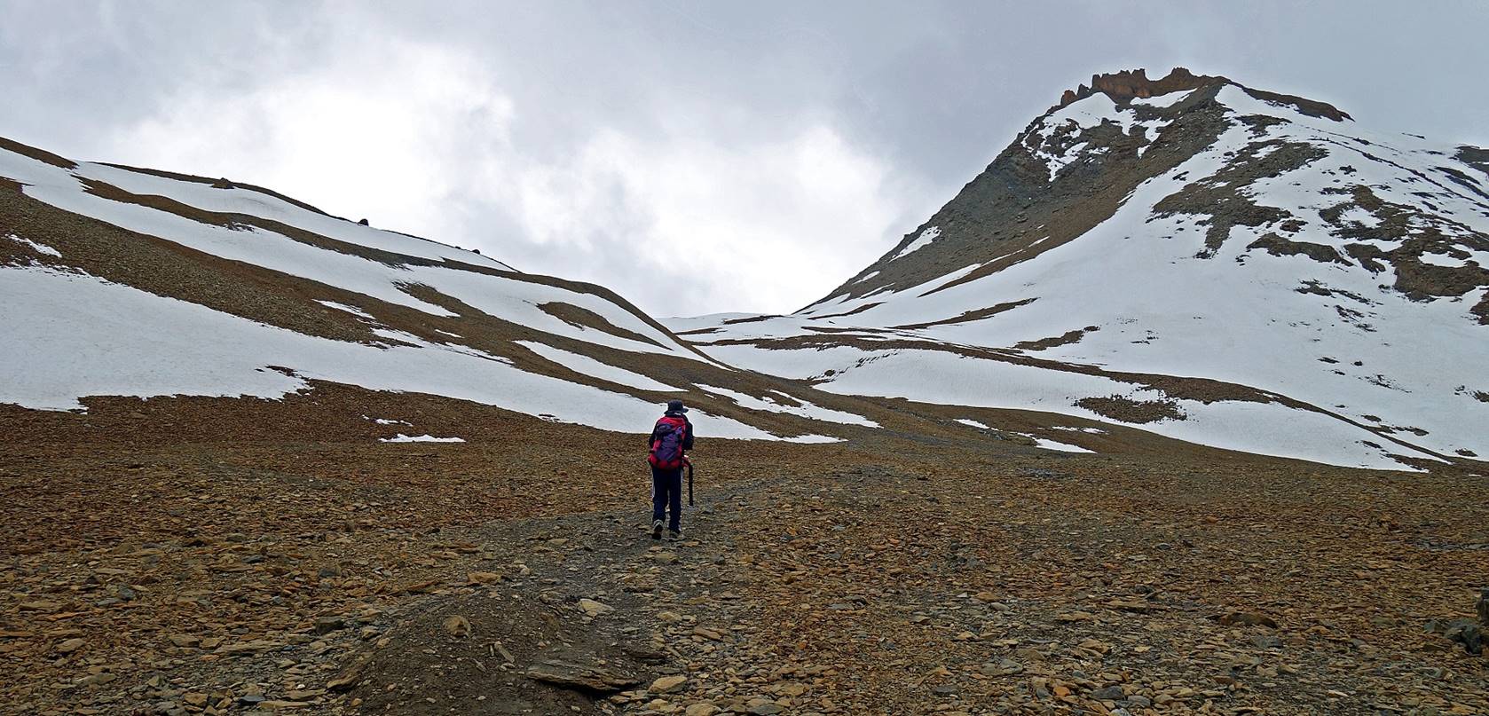
Day 10: From
camp at WP #046 to camp at WP #052 across Pudzong La
(WP #050, 5020m)
We followed the river to the right
(looking up toward Pudzong La) of the confluence
where we had set our camp.
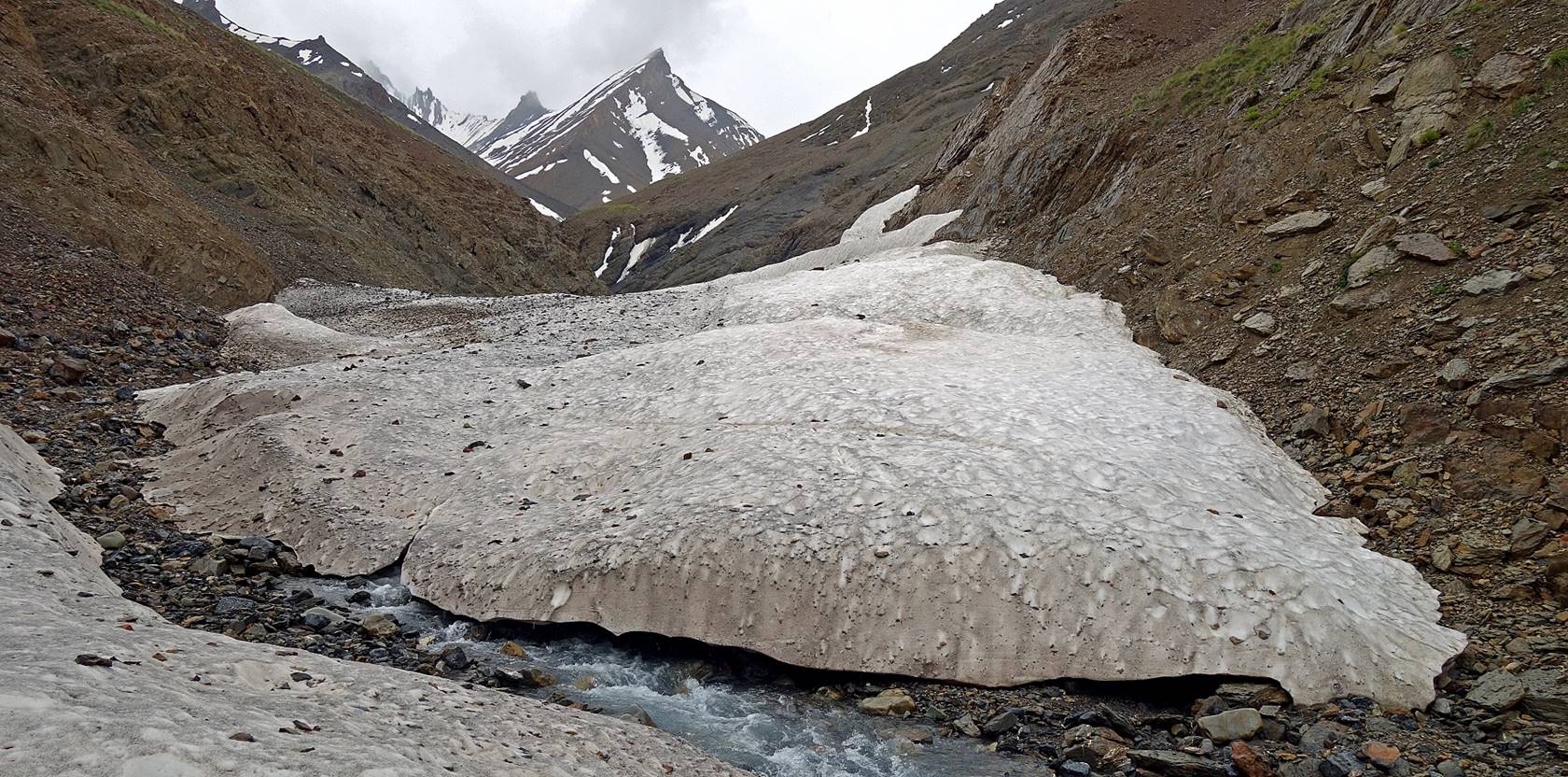
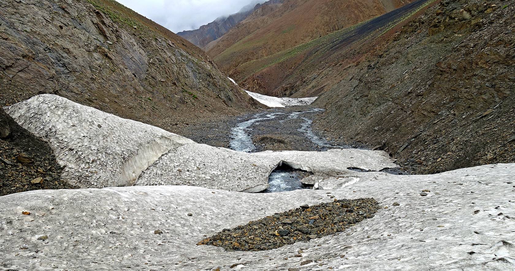
In multiple places remaining snow
bridges facilitated our ascent along the river.

Reaching Pudzong
La (WP #050, 5020m).
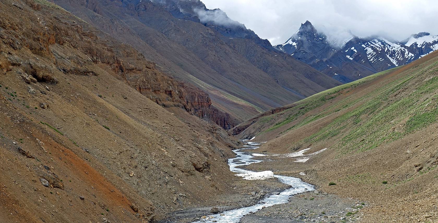
View toward the south from the pass.

The descent from the pass (center left
in the photo below) is long and steep, but easy on a good trail making numerous
switchbacks.
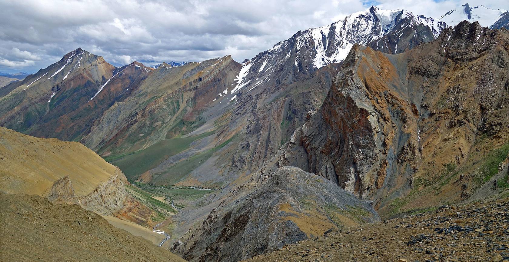
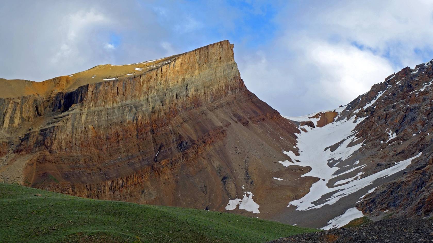
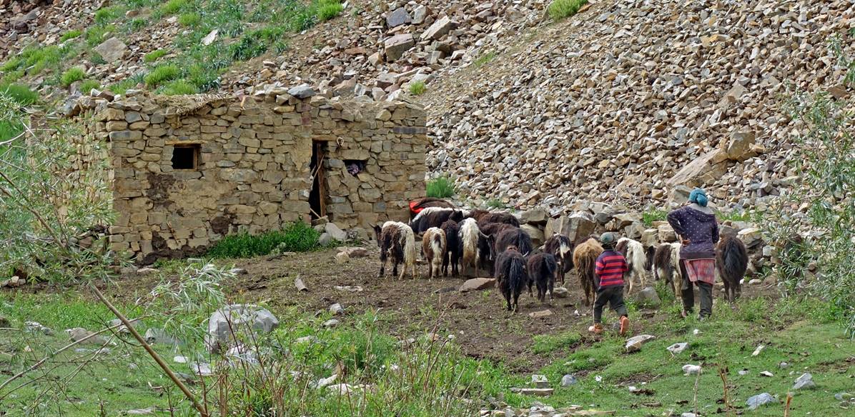
We set our camp (WP #052) at the base of
the pass, near a shepherd house surrounded by spectacular cliffs.

Left: Woman and son bringing back goats
and sheep to the house next to our camp. Right: Her smiling husband visiting
our camp.
|
|
|

![]()