Kyajo Ri (October-November 2006)
![]()
Return to my
mountaineering-trekking webpage
In
October 2006, I returned to Nepal for the 6th time, with the goal to climb
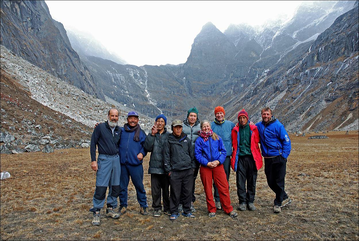
Kyajo Ri (6186m), a peak located a few kilometers west of Everest. This climb
was guided by Kathy Cosley and Mark Houston.
Ang Karma (Windhorse
Trekking) organized the logistics. In addition to Kathy, Mark and me, the
climbing team included Matt Scott (also from Stanford) and Emery Dameron (from
San Francisco). The photo below shows Matt (left), me, Kathy, Emery (center
right) and Mark (right), along with our support team from Windhorse
Trekking.
Some
pictures on this site have been taken by Mark and Matt. Mark′s
website contains many other photos.
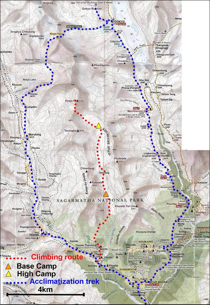
Our
trekking/climbing trip started and ended in Lukla. We
began with an acclimatization trek around Kyajo-Ri,
through Gokyo lakes (and an ascent of
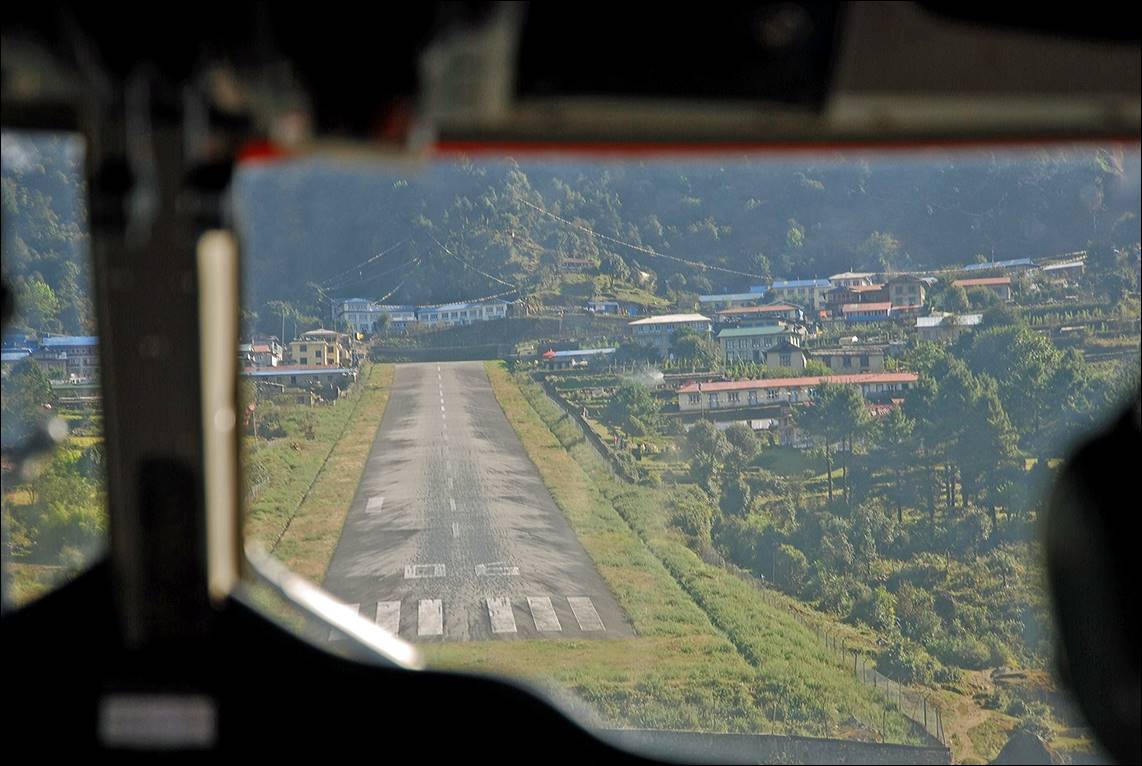
Left: Landing in Lukla. Right: A log of the number of trekkers per year and month entering Sagarmatha (Everest) National Park. We were not alone on the trail!
|
|
|

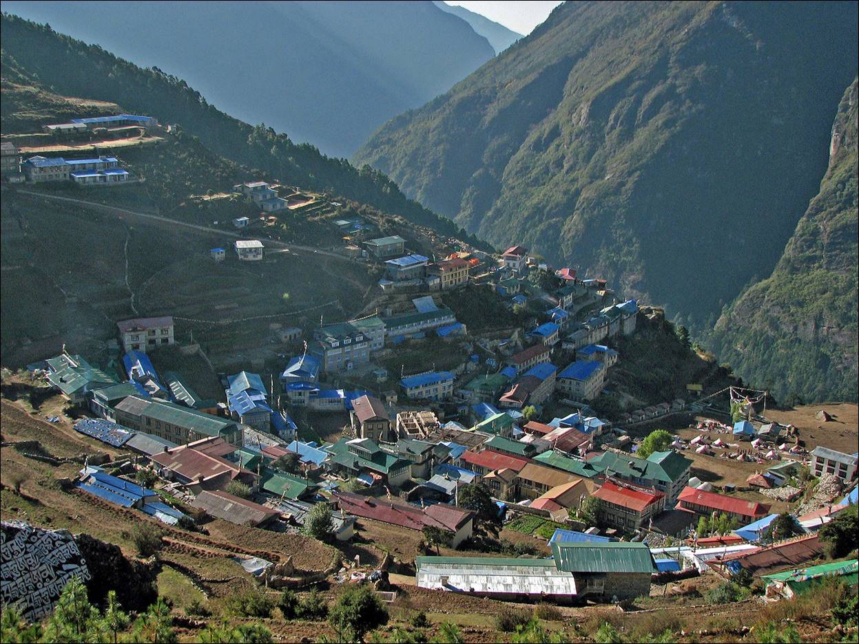
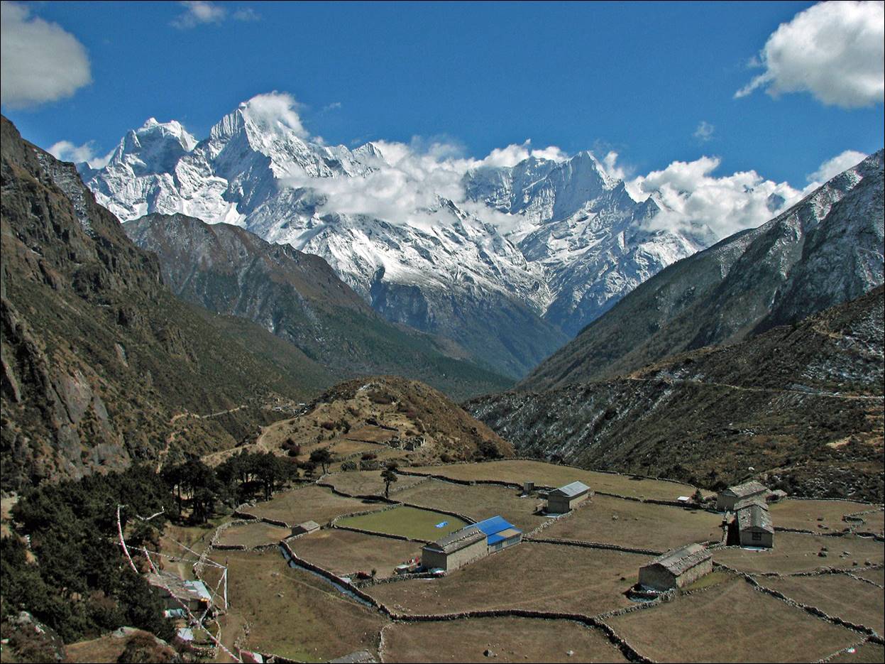
Namche Bazar, the ″capital″ of
the Sherpa people.
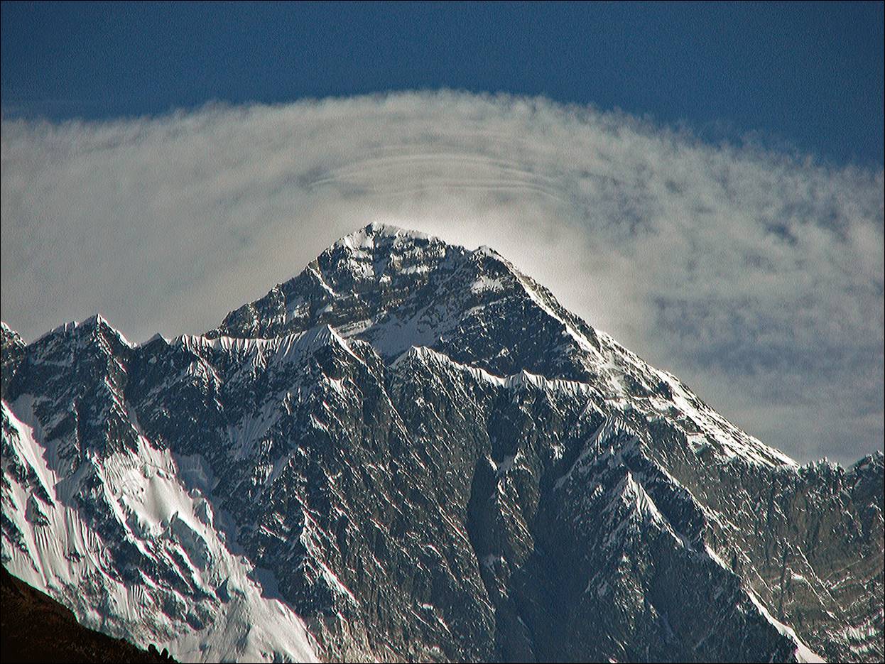
A view of Everest from the hill
between Namche Bazar and Khumjung.
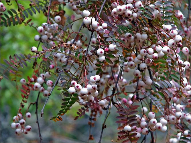
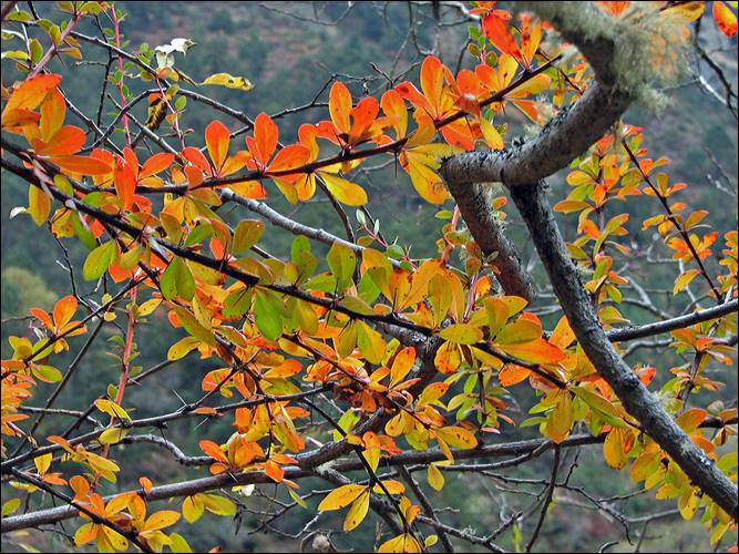
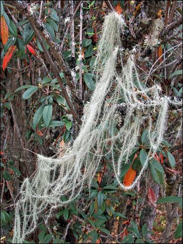
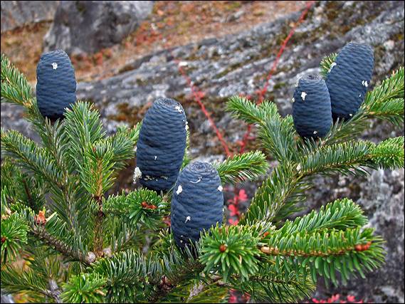
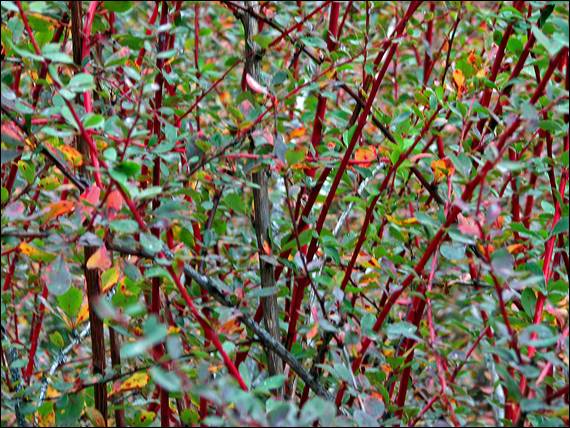
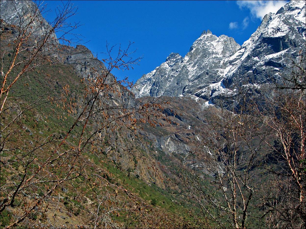
Autumn colors on the trail near Phortse Tenga .
|
|
|
|
|
|
|
|
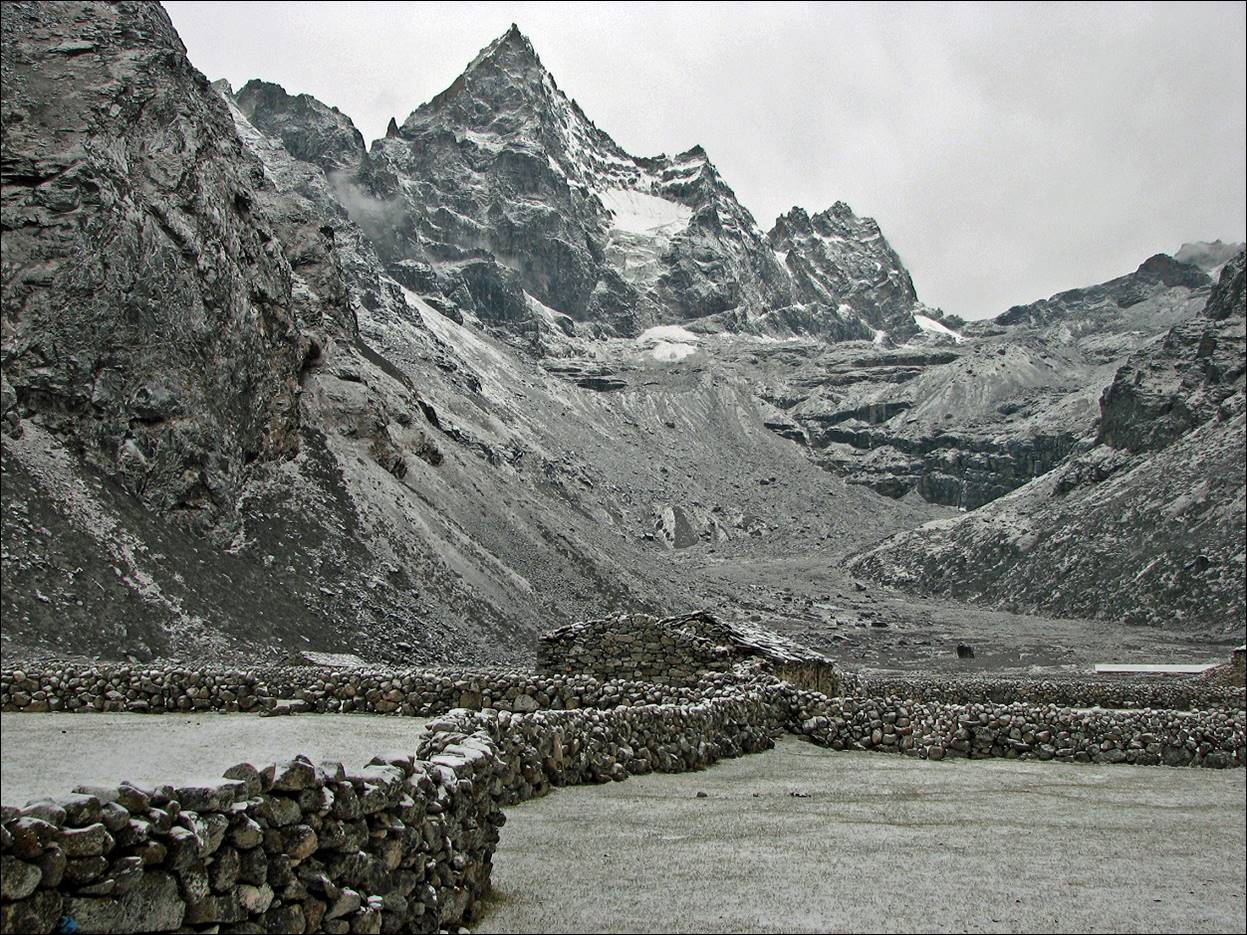
A first view of Kyajo
Ri from Machhermo. (It is not a black-and-white
photo. The lack of colors is due to the combination of fresh snow and dark
weather.)
Scenery between Machermo
and the village of Gokyo.
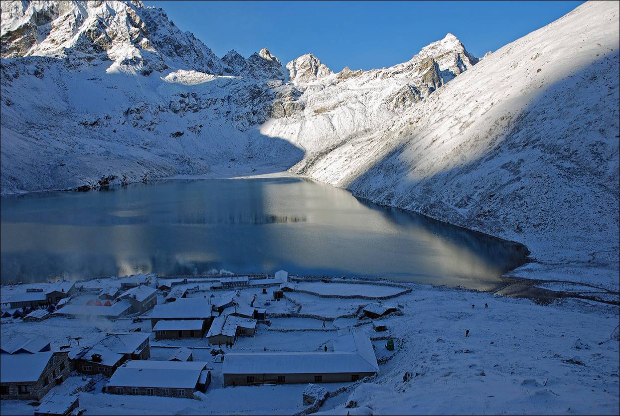
Village of Gokyo,
with Dudh Pokhari (one of
the Gokyo lakes) behind.
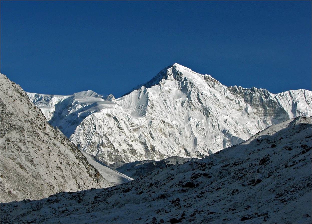
Village of Cho Oyu
from the village of Gokyo.
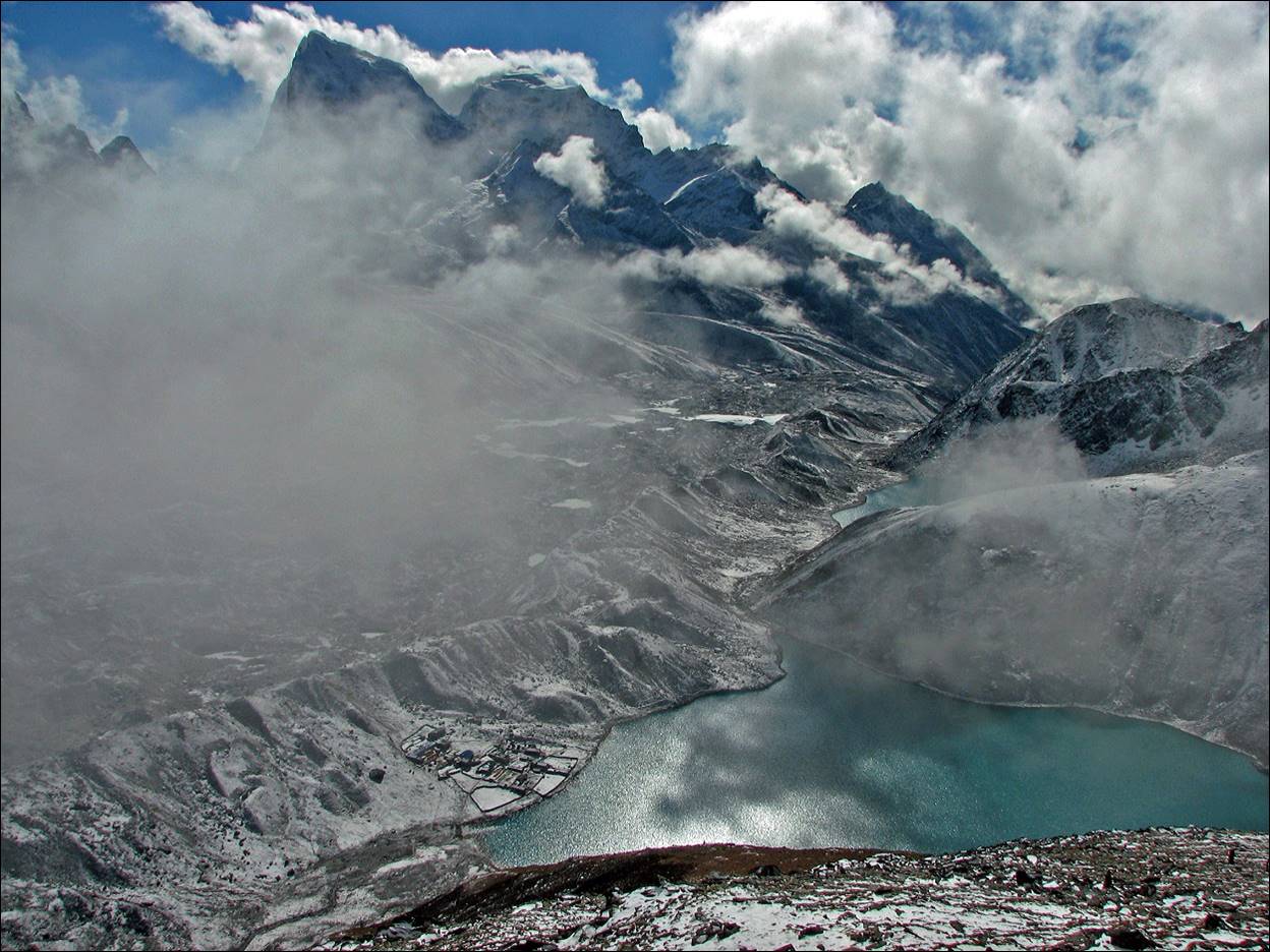
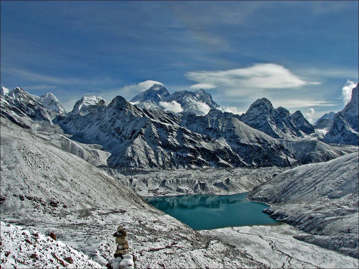
View of Dudh Pokhari while climbing Gokyo Ri,
with the village of Gokyo on its shore and Cholatse in the background.
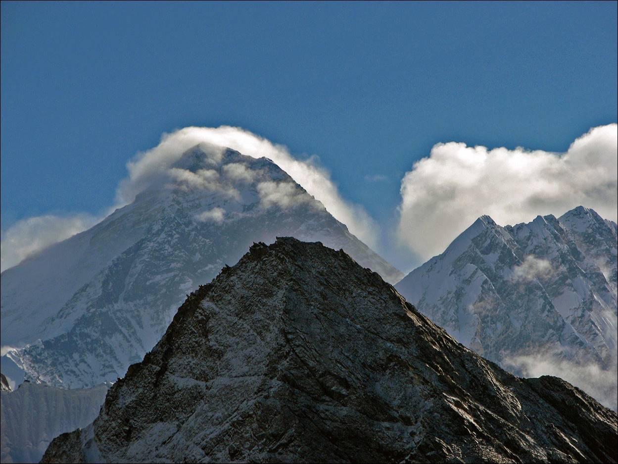
View of Everest while climbing Gokyo Ri.
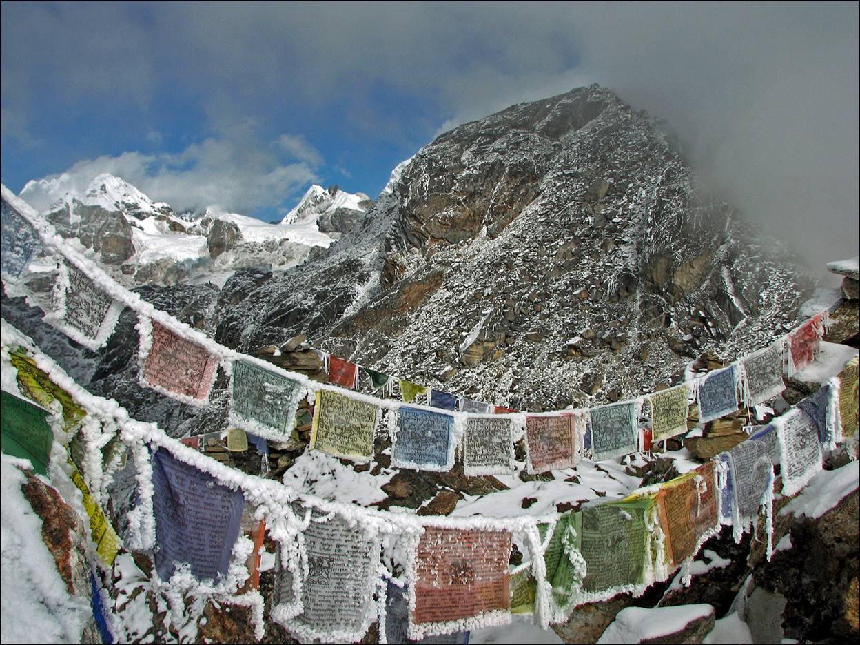
Frozen prayer flags at the summit of Gokyo Ri.
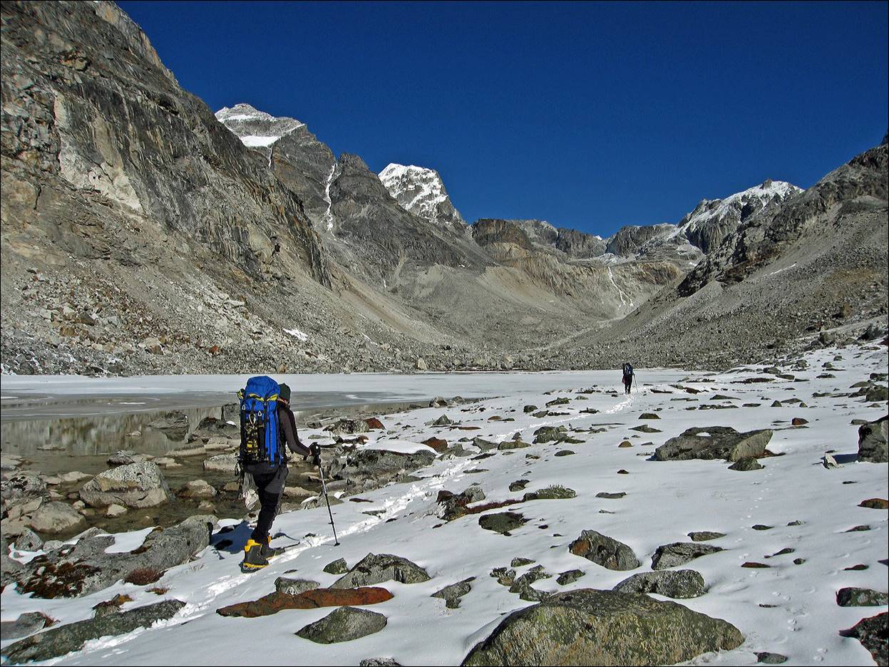
View of Dudh Pokhari while ascending Renjo
Pass, with Everest in the background (center).
Approaching Renjo
Pass.
Crossing Renjo
Pass.
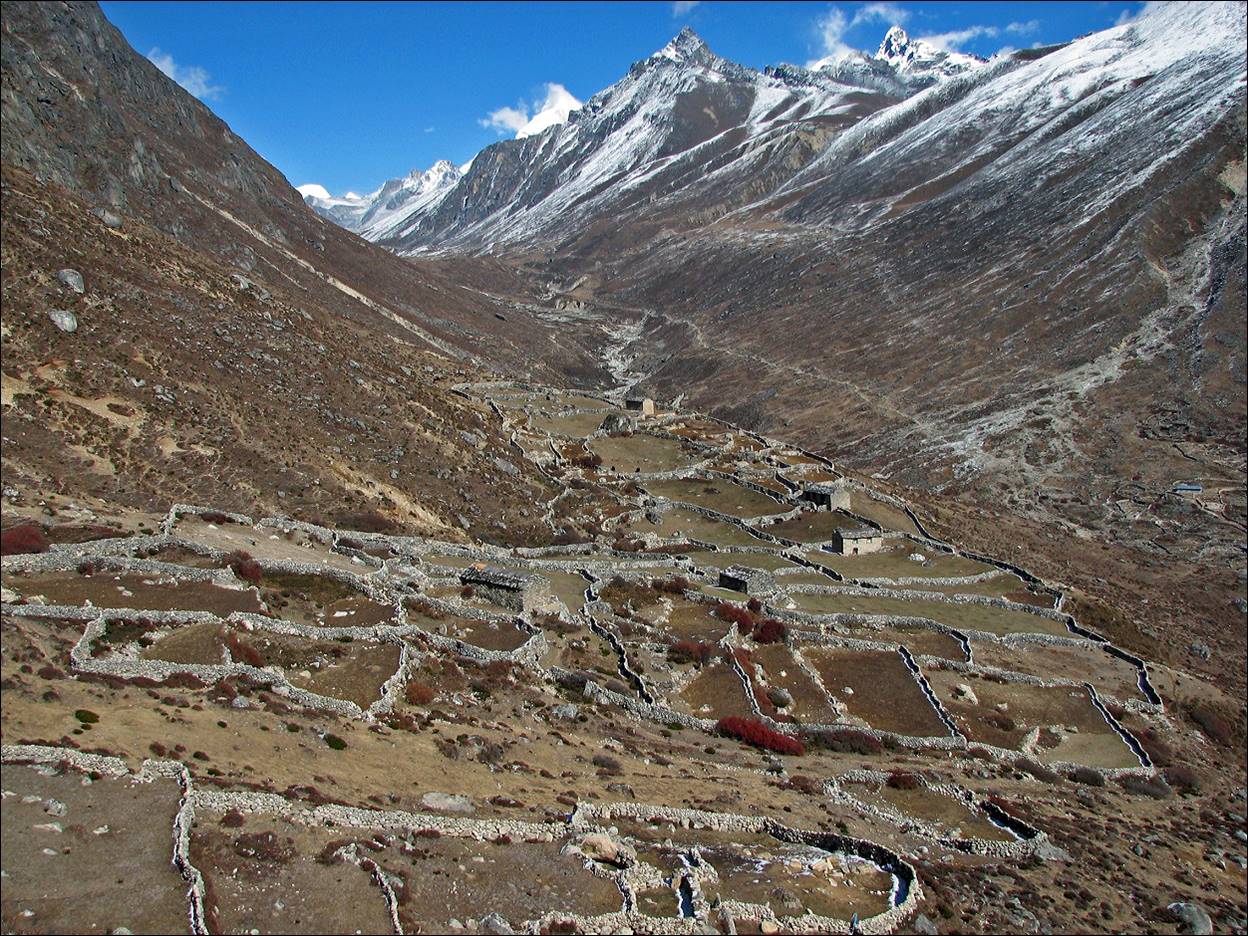
View from the village of Langden in the
early morning.
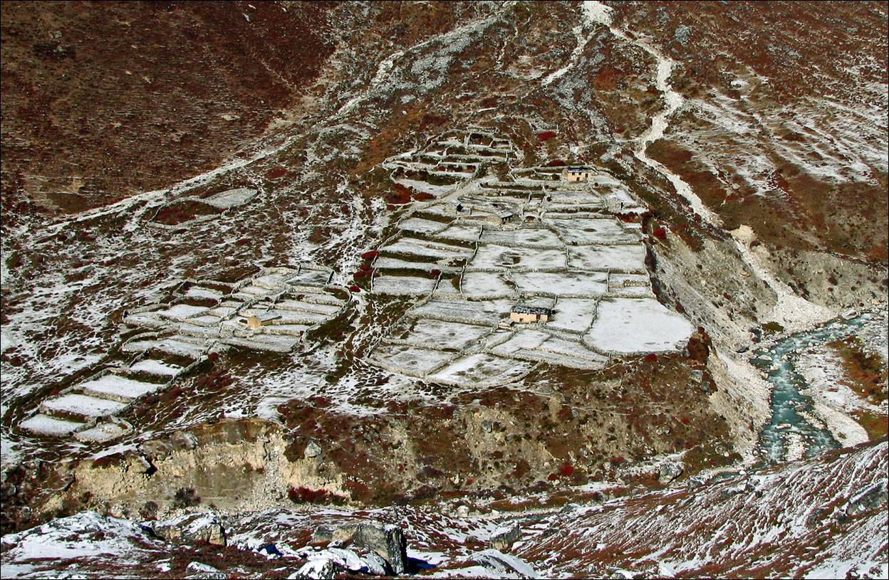
Terraces along Bhote Kushi river, near Marulung.
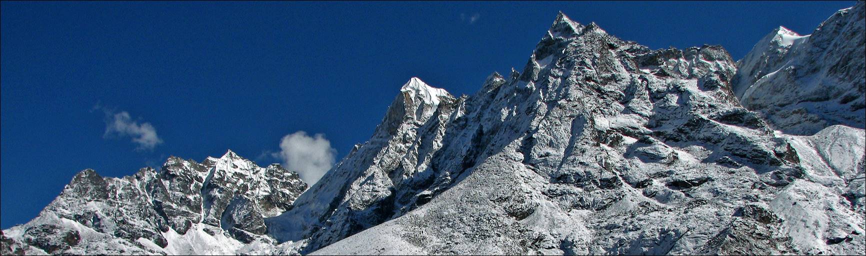
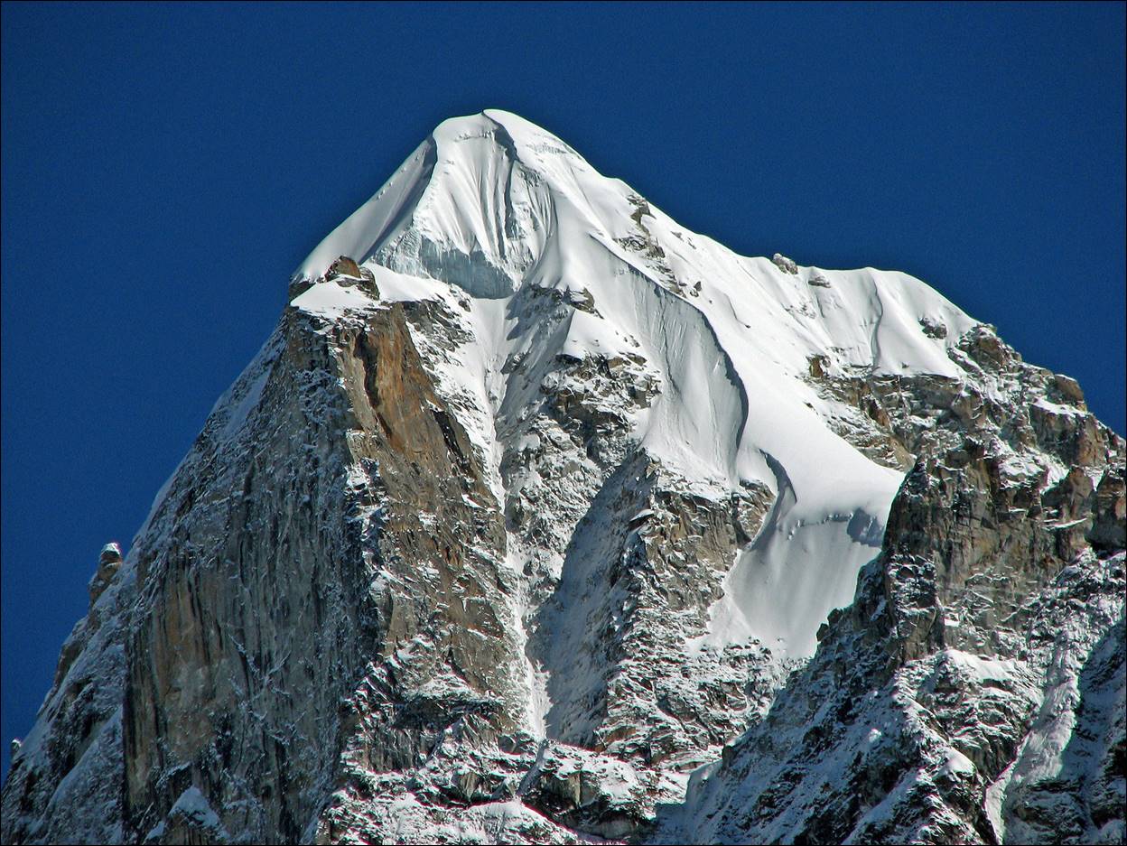
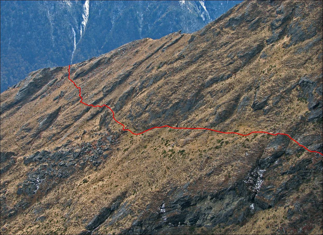
Another view of Kyajo
Ri (West face). Here, we can see the line of our ascent (just above the 45dg
line in the snow).
Rare Tibetan traders in the valley of the
Bhote Kushi river, who seemed to have crossed Nangpa La,
a pass between Tibet and Nepal. This pass is now fully sealed by the Chinese
authorities.
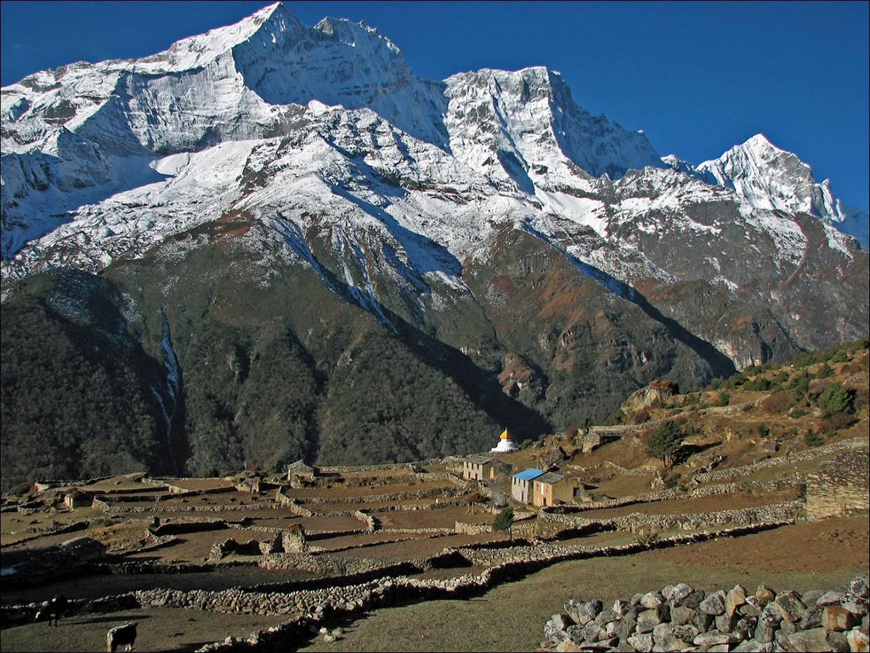
Houses in the village of Thame with Thamserku (6608m) in the background.
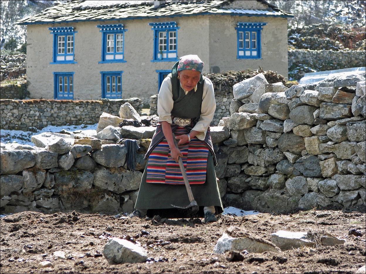
Woman in Thame.
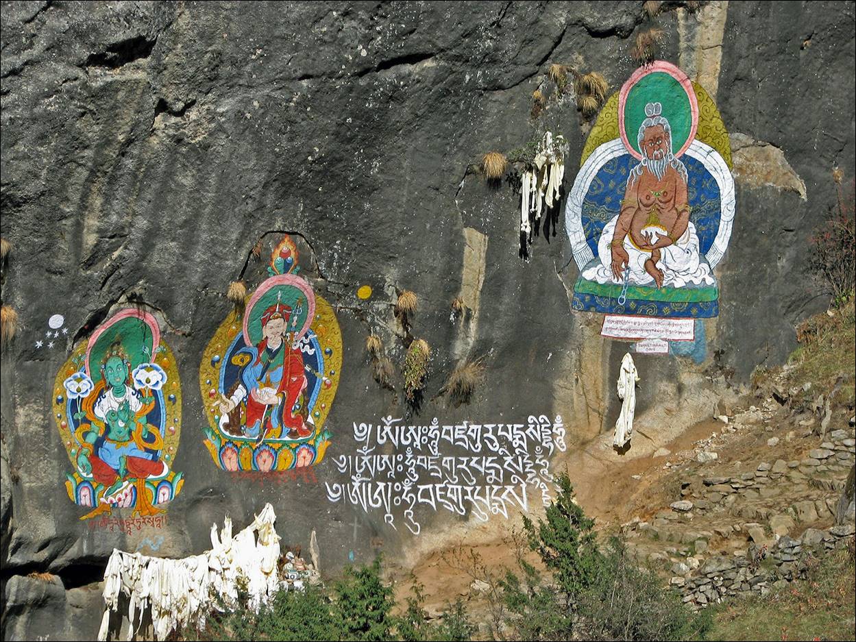
Buddhist paintings along the trail between
Thame and Samda.
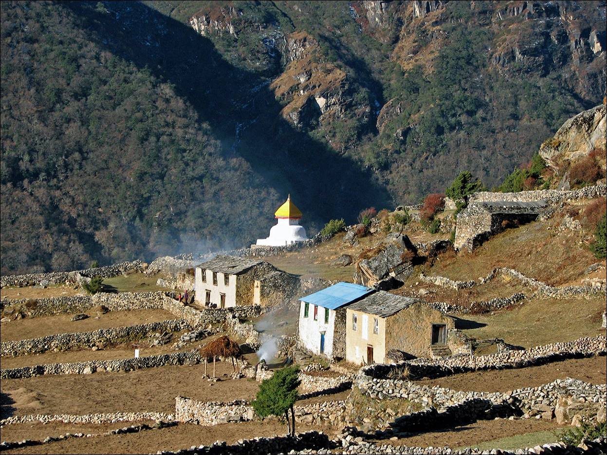
The canyon of the Thesebu Khola river seen from Thamo village. The trail to Kyajo Drangka, the hidden valley located south of Kyajo Ri, is on the left, much above the canyon.
Mende village with Kongde Ri in the
background (in the first photo below).
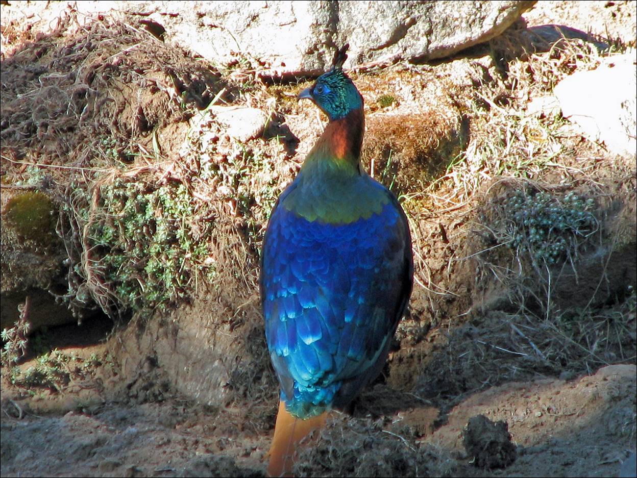
An Impeyen
pheasant (Nepal′s national bird).
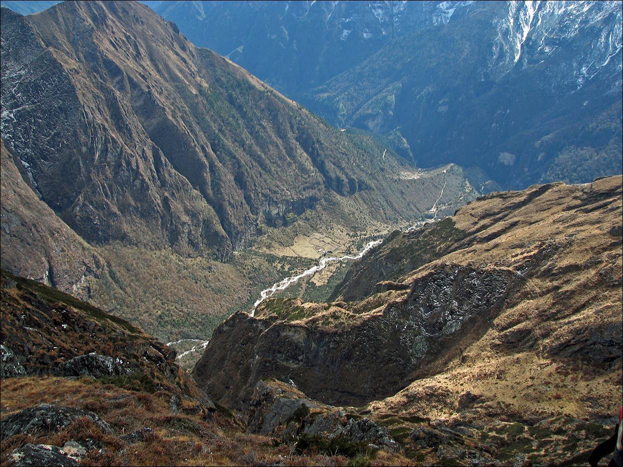
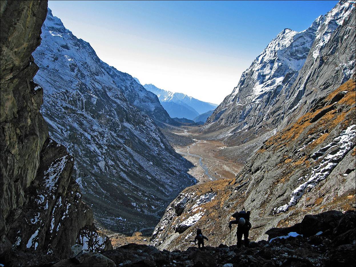
From Mende, the trail climbs steeply above
the canyon of the Thesebu Khola
river.
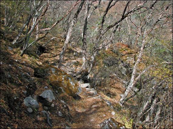
A view of the trail.
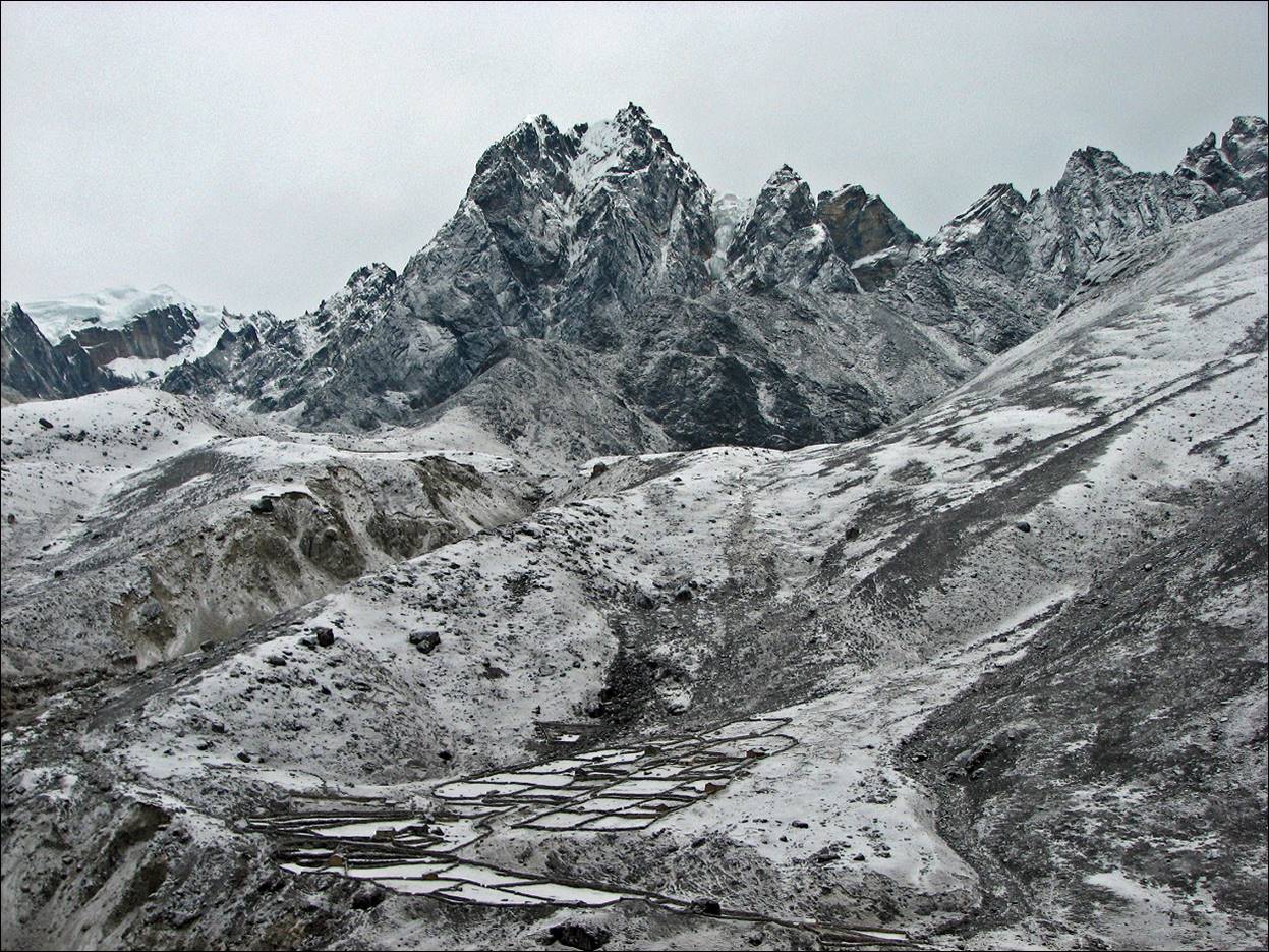
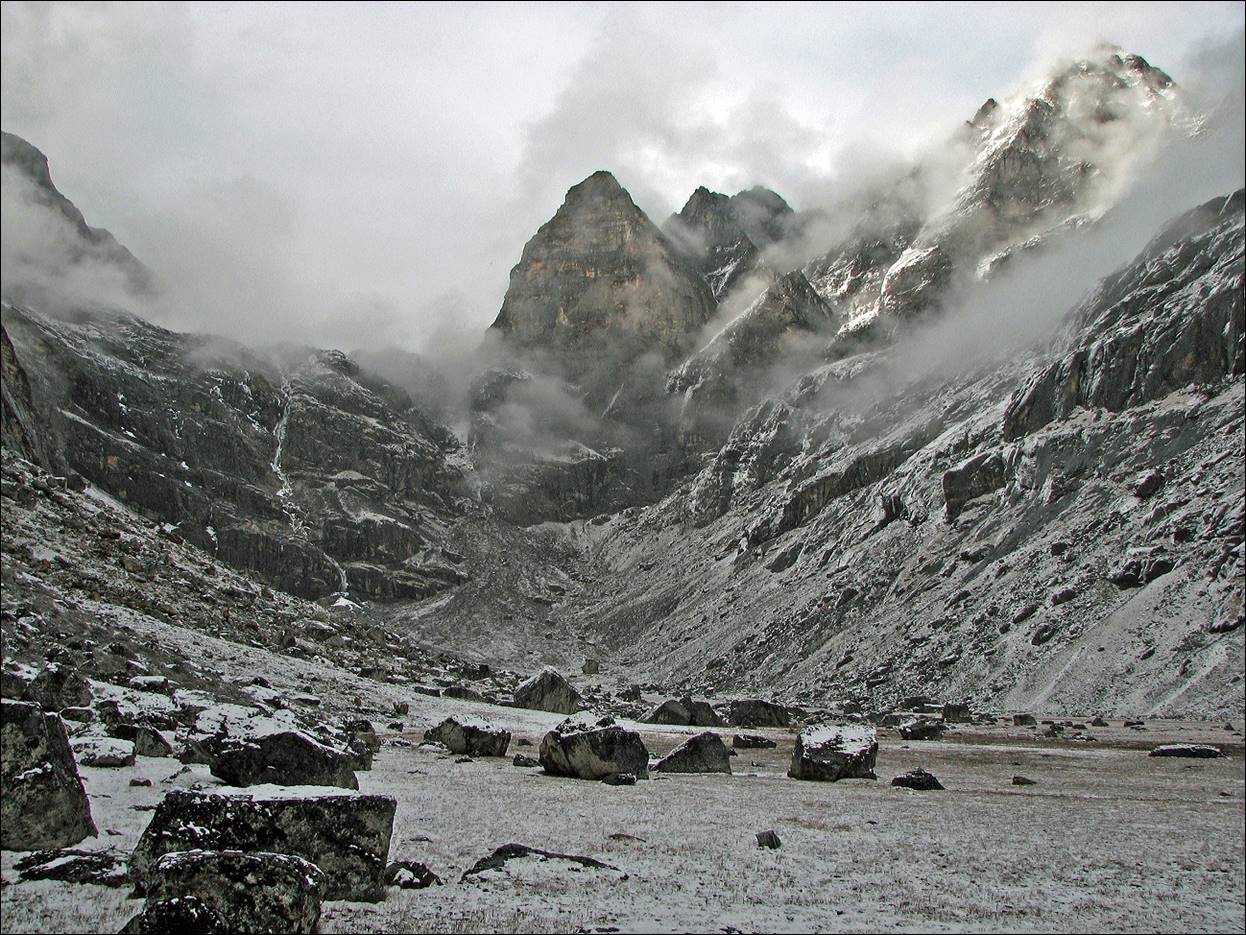
Kyajo Drangka, the
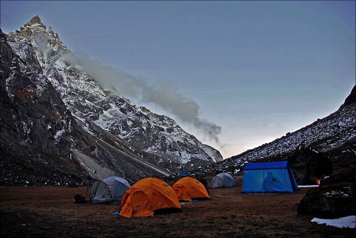
hidden valley to the south of Kyajo Ri, after a light snowfall. We set up our base camp
there.
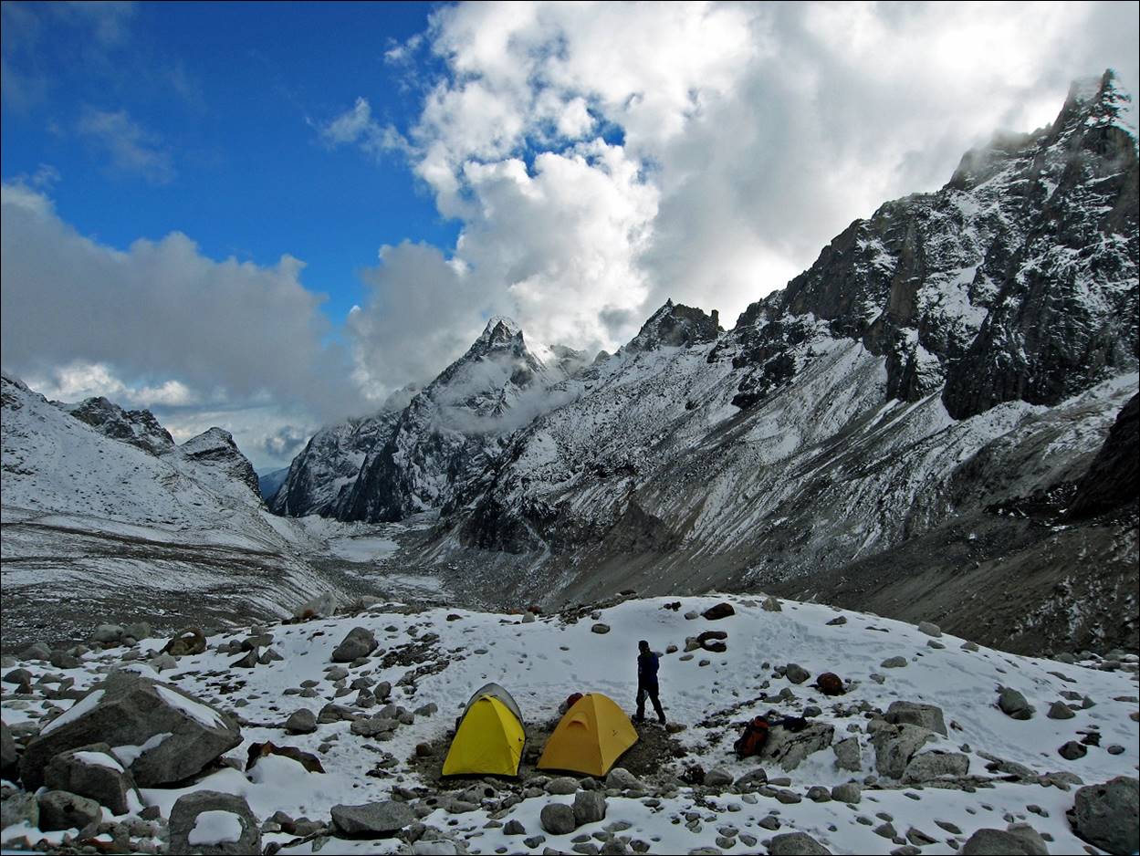
Our base camp in Kyajo Drangka.
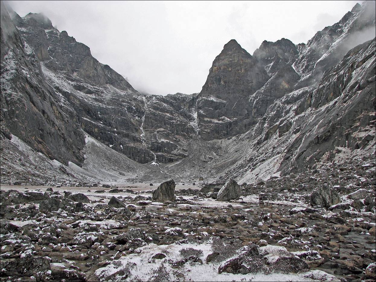
The first headwall at the end of Kyajo Drangka, on
the way to high camp.
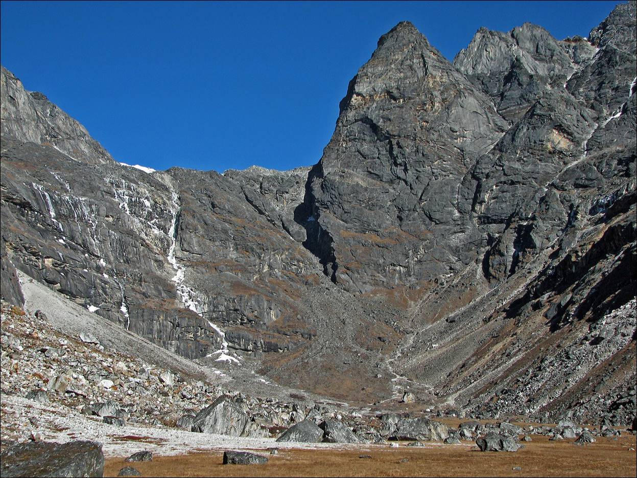
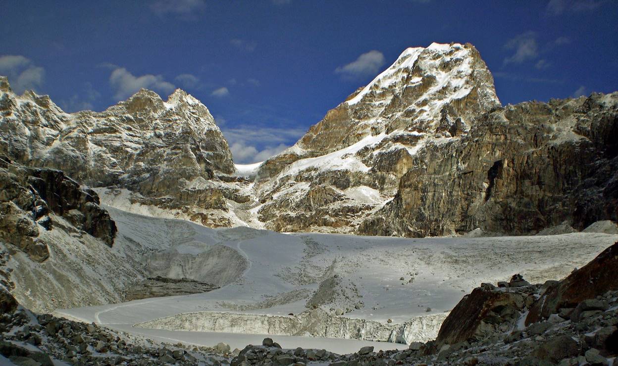
Kyajo Drangka seen from
the top of the first headwall.
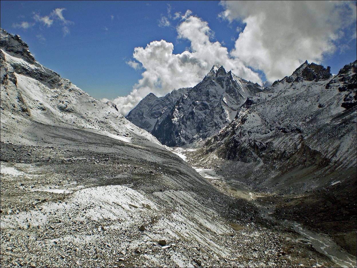
Valley above the first headwall. Kyajo Ri is the peak in the middle. The second headwall on
the route to high camp is at the end of the valley slightly to the right.
Same valley seen from the top of the second
headwall.
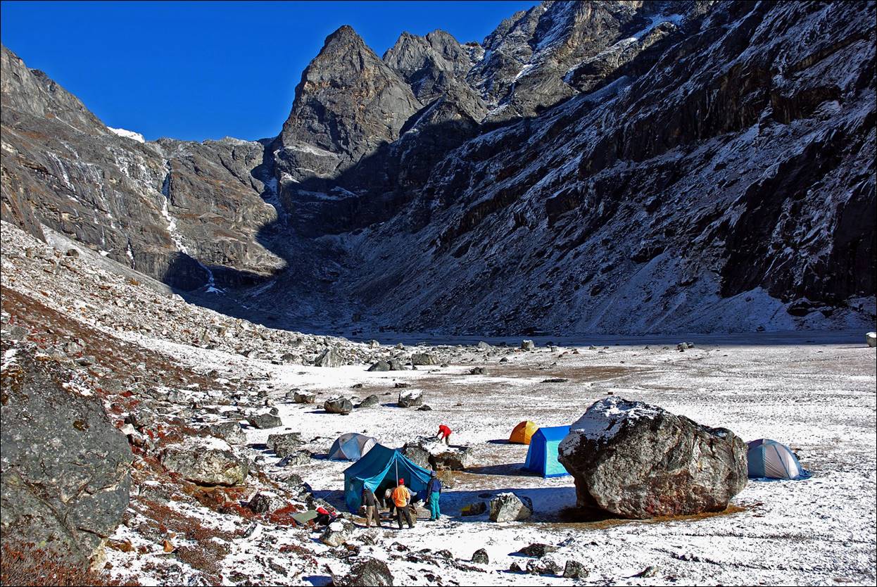
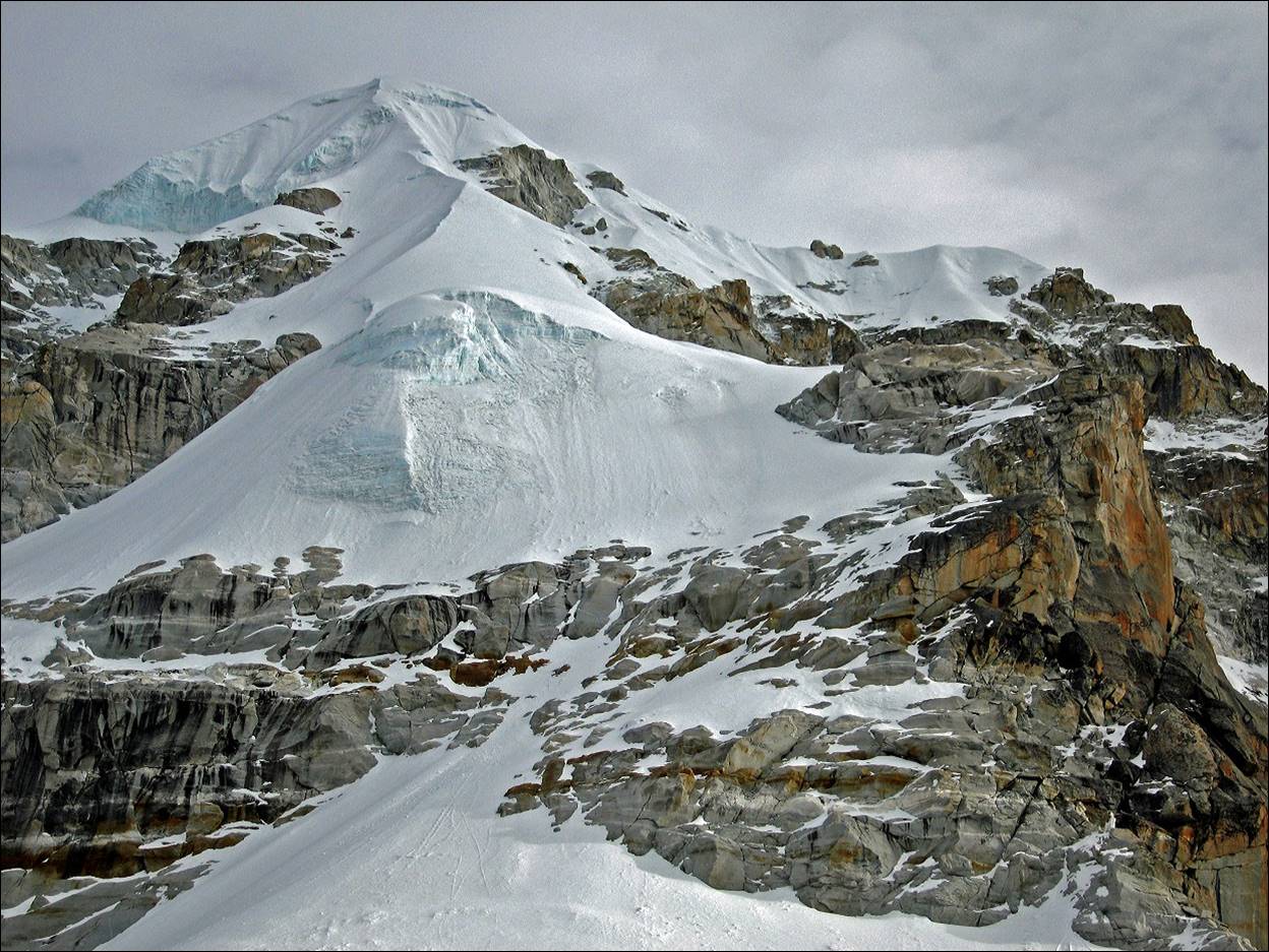
High camp with Kyajo Ri in the background. Our route will traverse the
glacier on the left, then ascend to the pass, and finally climb Kyajo Ri. The last section is mostly on snow. We did the
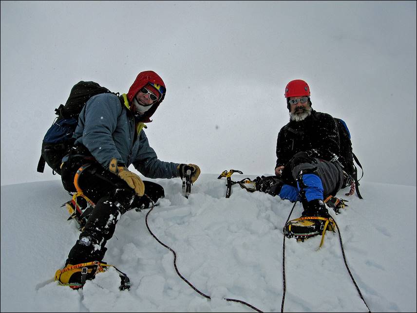
final push to the summit on November 1st. The round-trip between the
high camp and the summit took us 16 hours non-stop (10 to reach the summit and
6 to return to the camp).
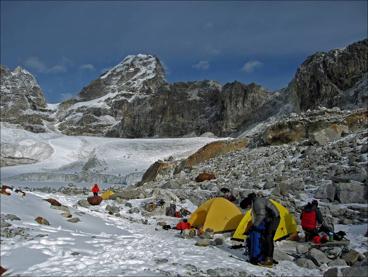
View of our high camp, looking toward the
south (hence, toward Kyajo Drangka).
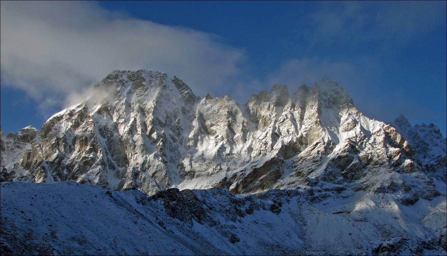
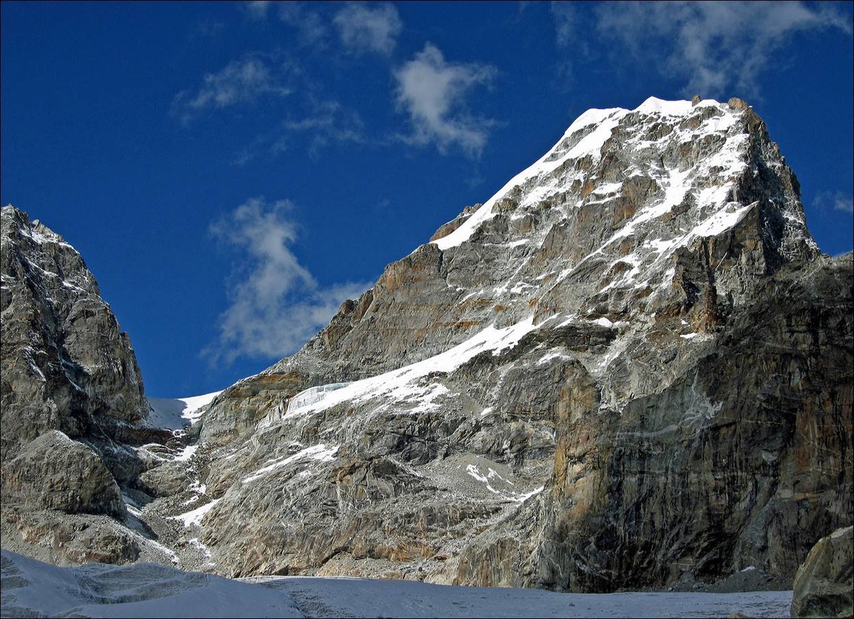
Two other views of
Kyajo Ri.
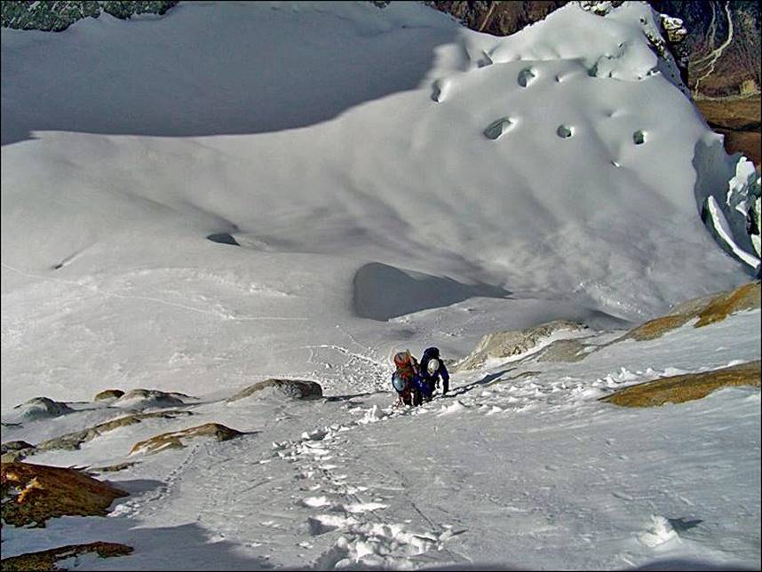
Crossing a rock section below the pass.
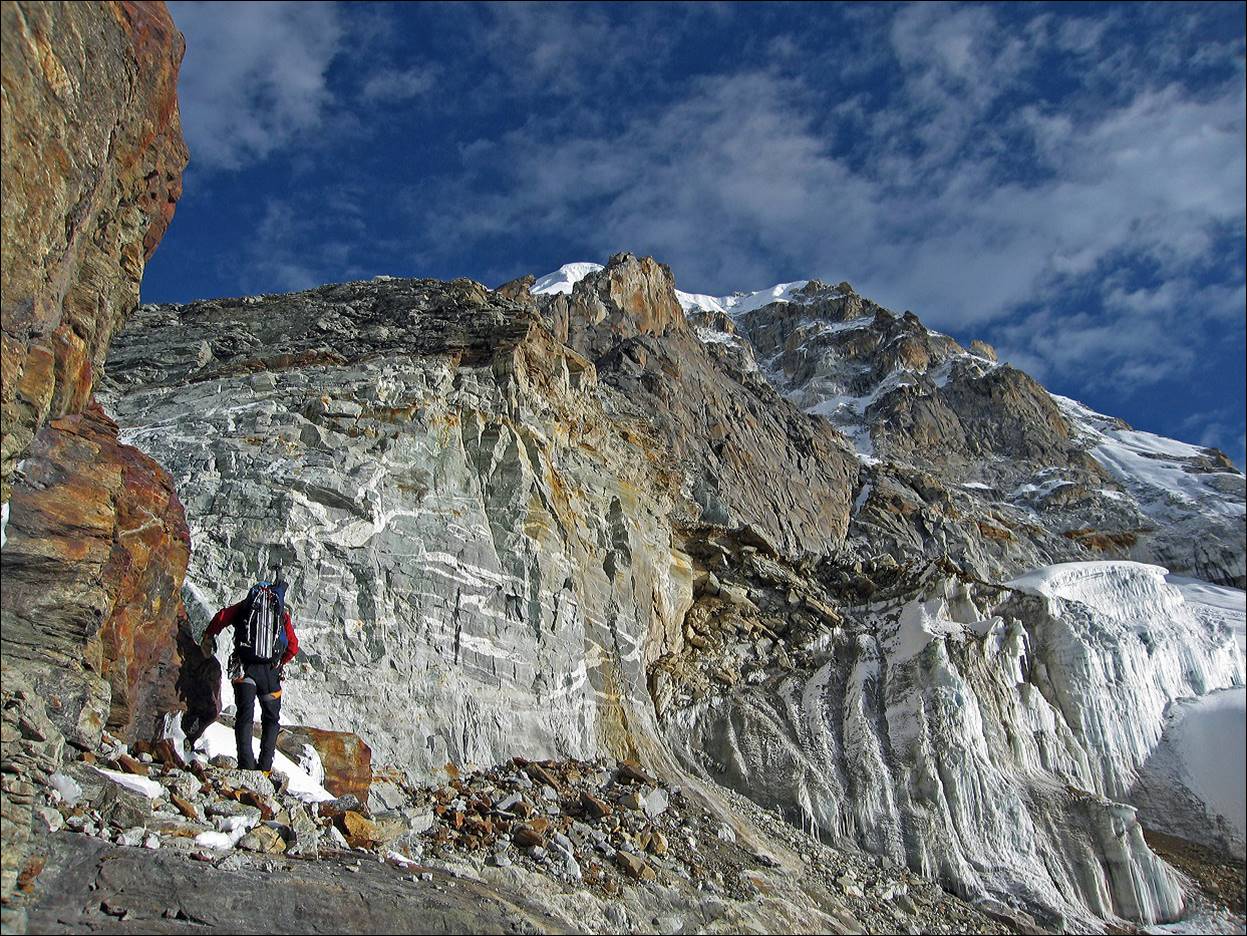
Left: Reaching the pass. Right: At the
pass.
|
|
|

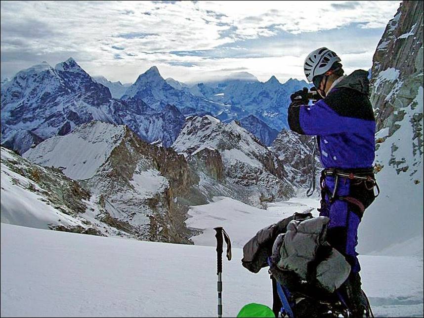
View toward the summit from the pass. The
view is somewhat misleading: it took us about 6 hours to reach the summit from
there!
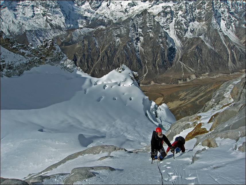
Matt and Emery (left) and Kathy and me
(right) just above the main rock section above the pass.
|
|
|
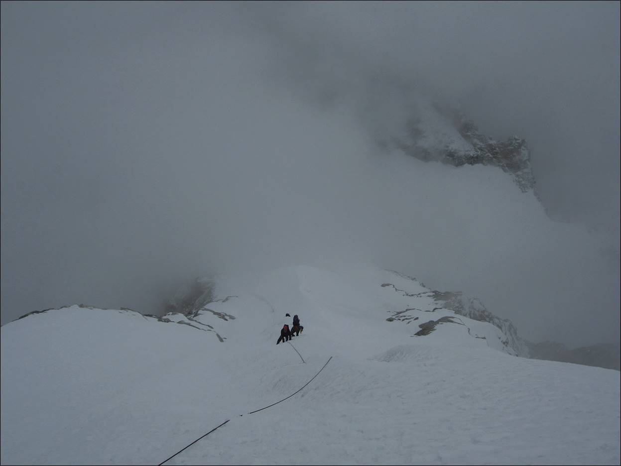
Still climbing... More and more clouds.
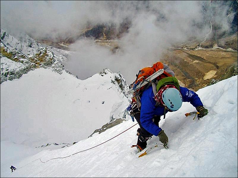
Left: Kathy and I on a steeper section.
Right: Getting close to the summit.
|
|
|
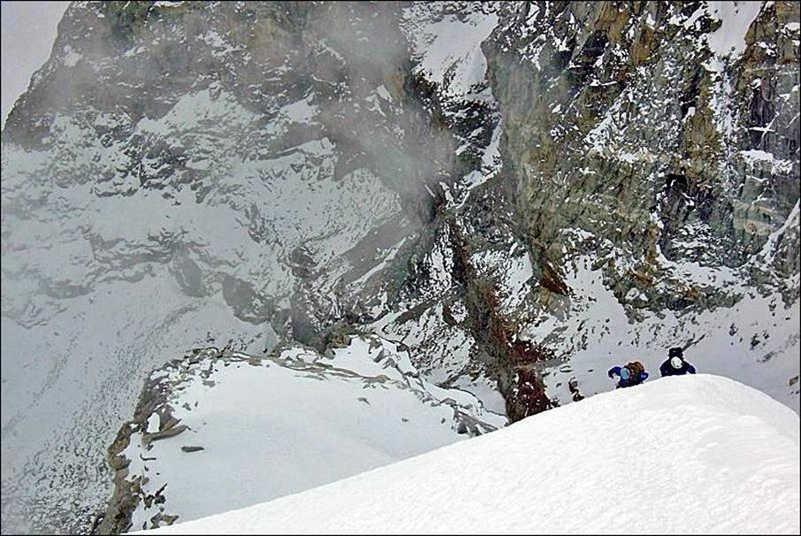
Left: Emery and Matt at the summit. Right:
Starting the descent with Kathy lowering me down, and Mark watching.
|
|
|

![]()
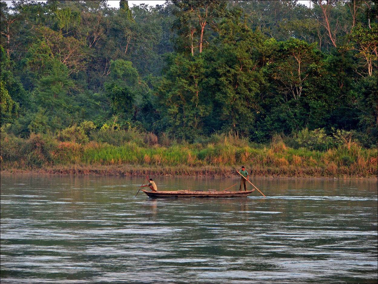
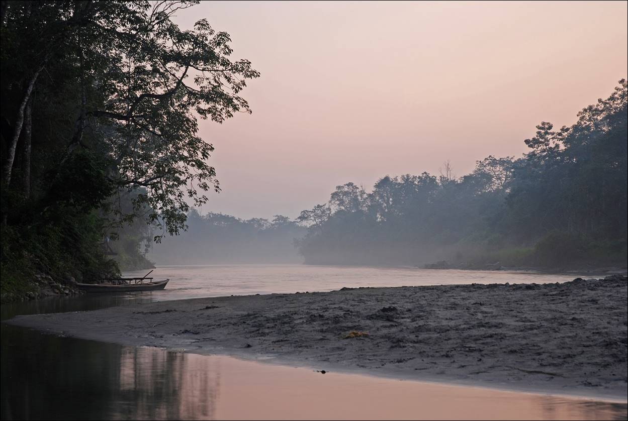
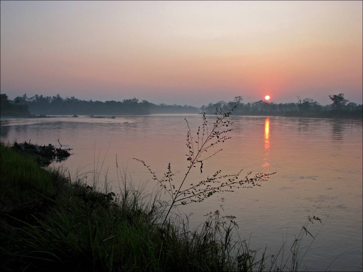
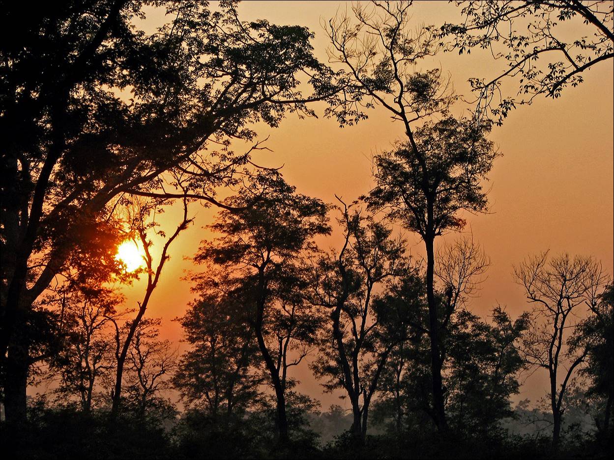
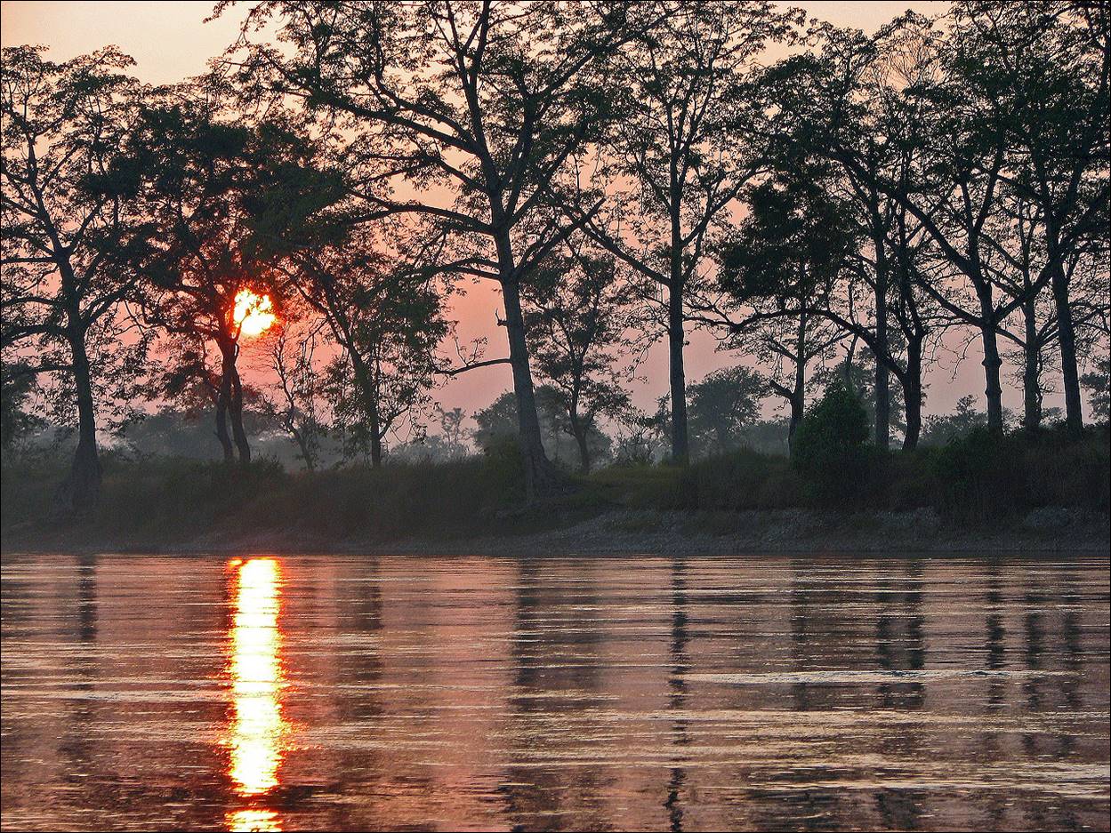
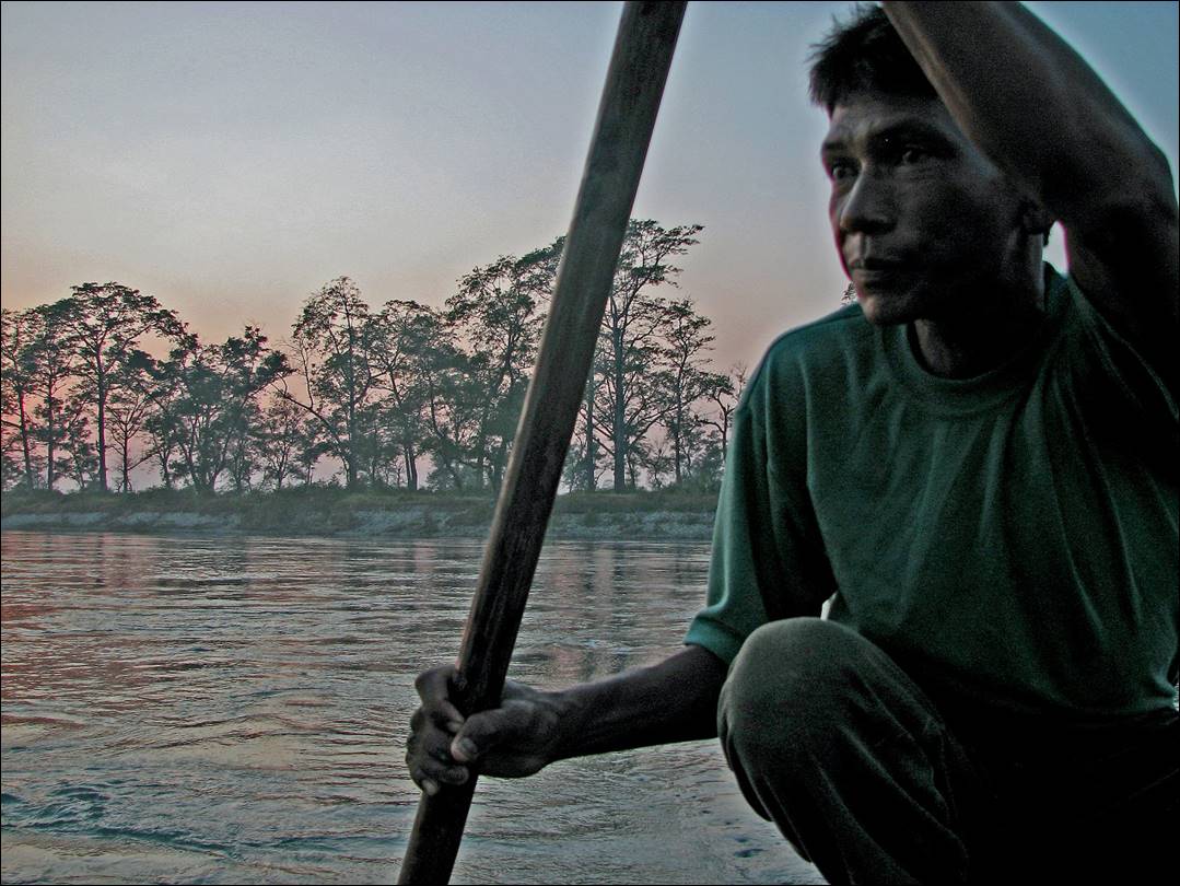
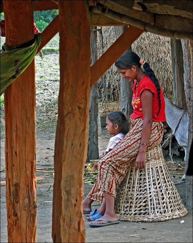
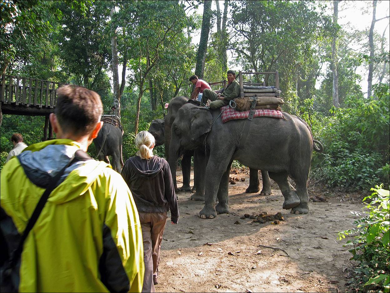
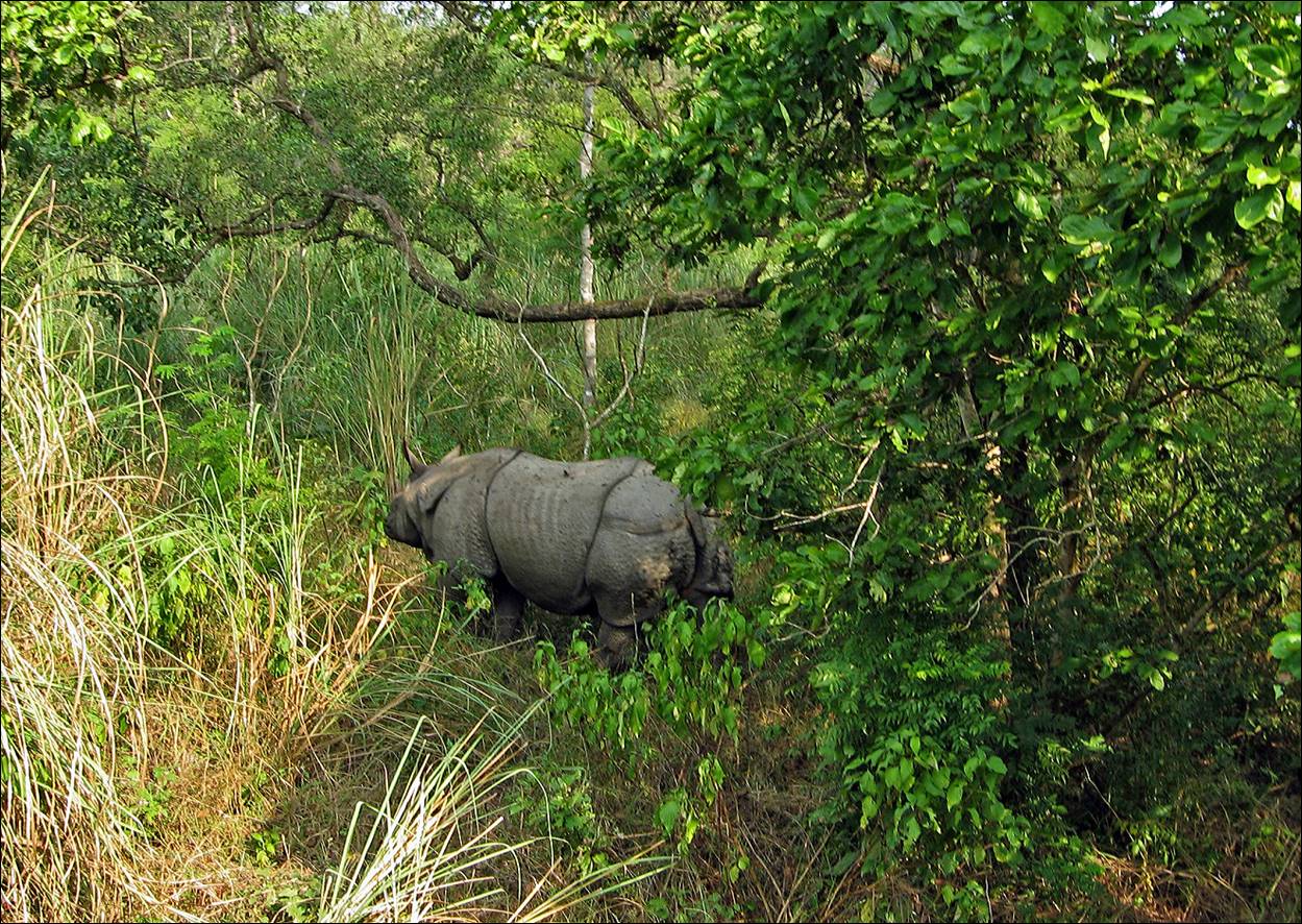
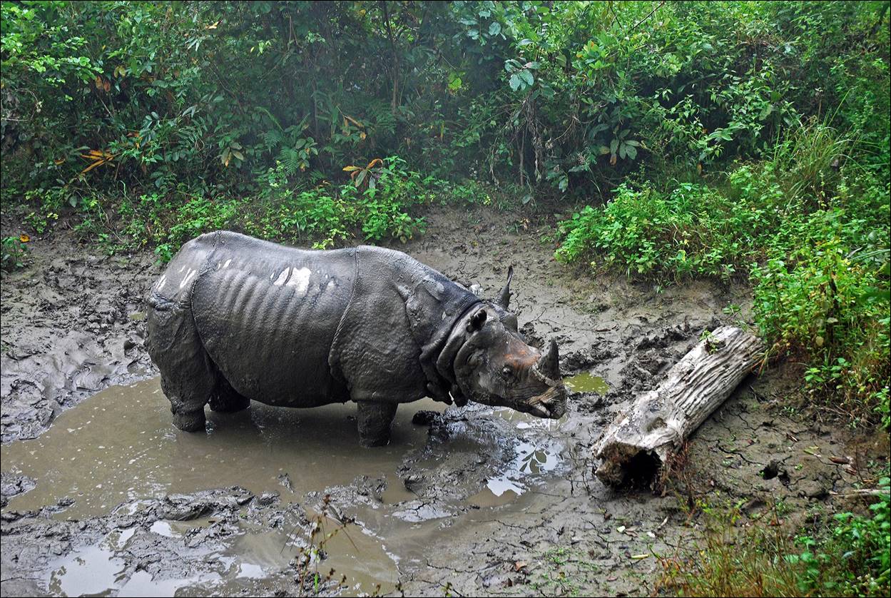
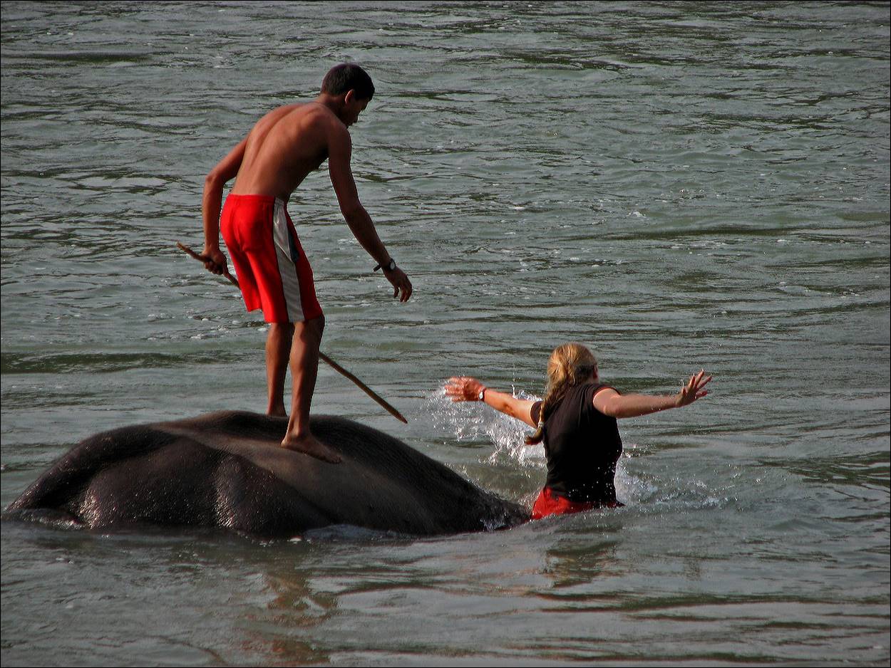
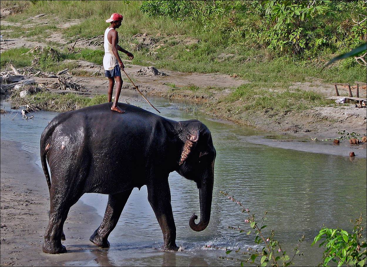
Chitwan National Park:
After the ascent of Kyajo Ri we returned to
Lukla and flew to Kathmandu. We had three more days to spend in Nepal, so we
went to Chitwan National Park (a first for me). These are some photos of this
short trip.
|
|
|
![]()