Visokiy Alay (Summer 2008)
![]()
Return to Kyrgyzstan
2008 main page
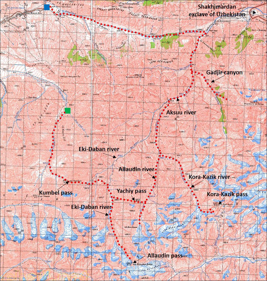
This trek starts about
20km south-east of the town of Khajdarkan
and ends about 10km east of Khajdarkan. The itinerary
is shown in red line in the map below. (For full-resolution topographic maps covering the
trek area click: 100K-Visokiy-Alay-1
and 100K-Visokiy-Alay-2.) Our initial plan was to
cross Allaudin pass and return through other passes. However, hard ice on
Allaudin pass and lack of proper equipment led us to modify our itinerary.
Instead, we crossed Yachiy pass and visited the
valleys of Allaudin, Kora-Kazik, and Aksuu rivers, as well as Gadjir canyon. The last east-west section of the trail was
along a less interesting dust road.
![]()
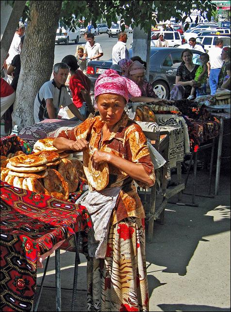
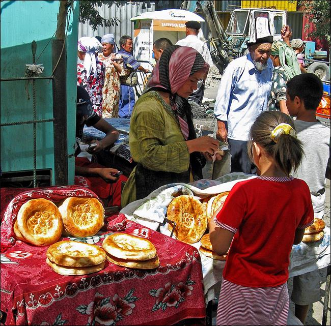
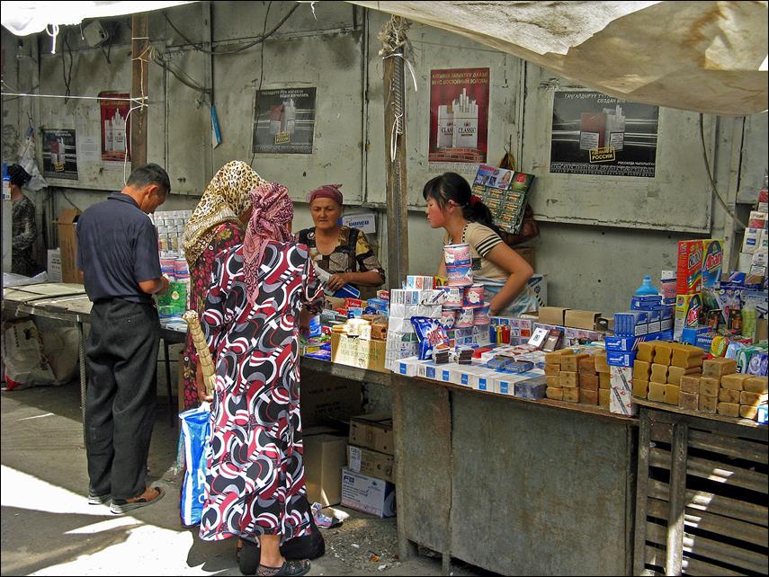
We
initially spent a couple of days in Osh to buy food and organize transportation
for the trek. These are some photos from Osh:
-
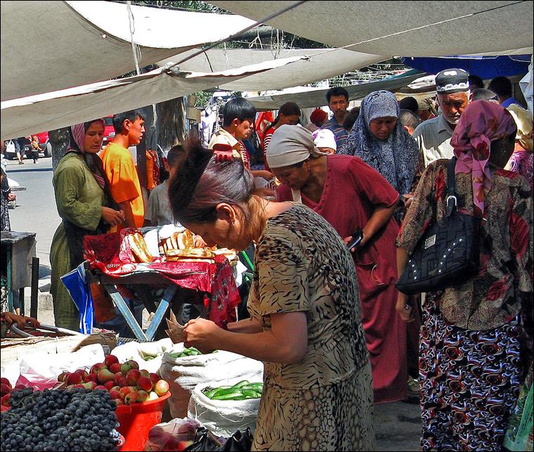
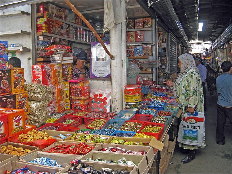
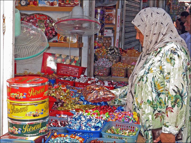
In the colorful market.
|
|
|
|

|
|
|
|
|
|
-
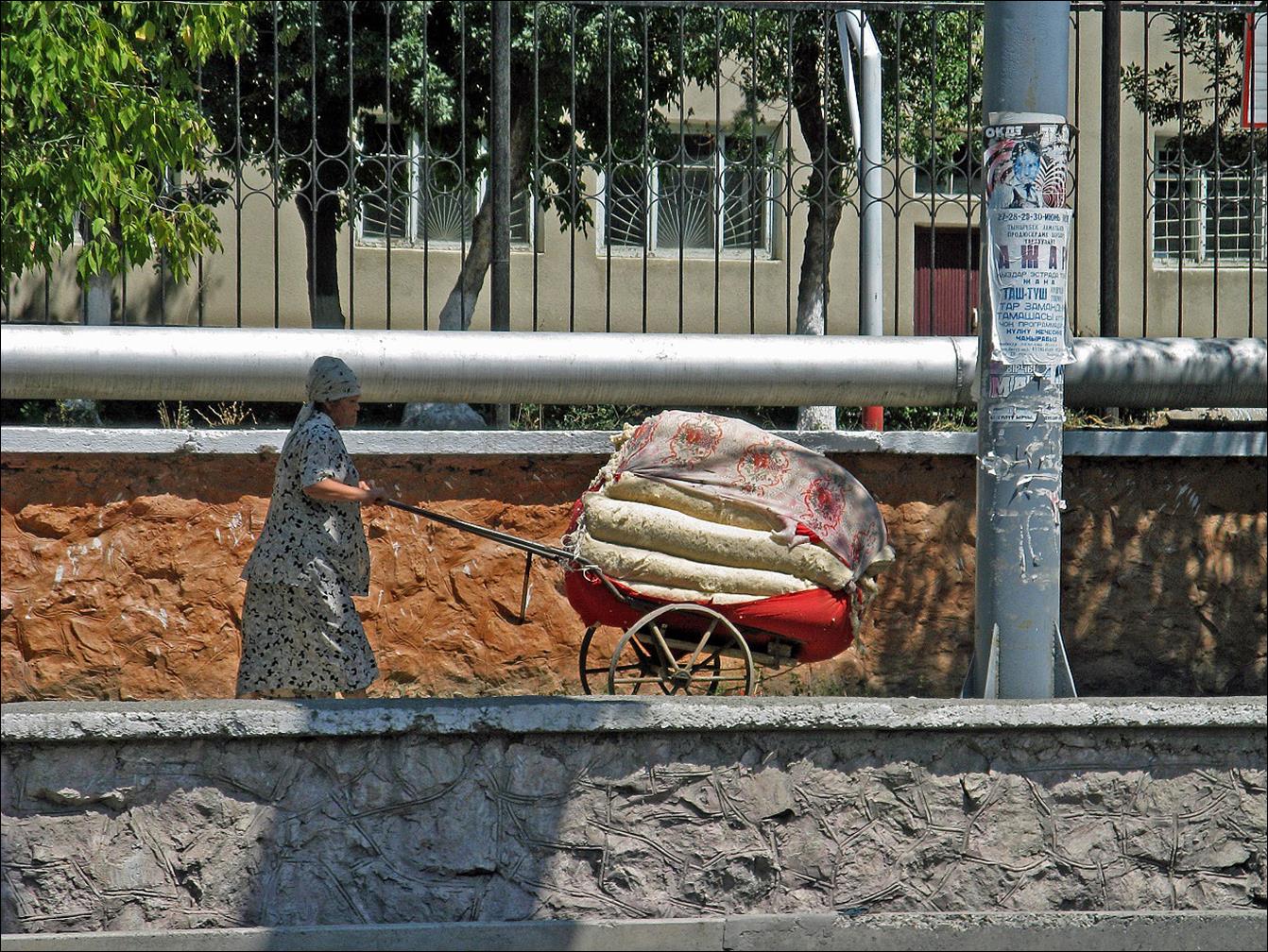
Woman pushing a heavy load.
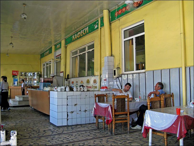
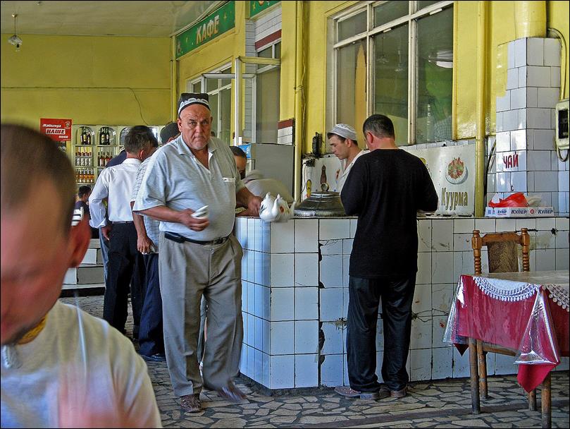
-
In a cafe-restaurant.
|
|
|
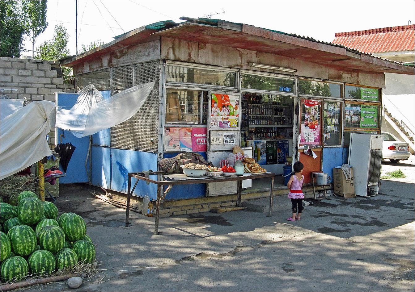
-
Small street shop.
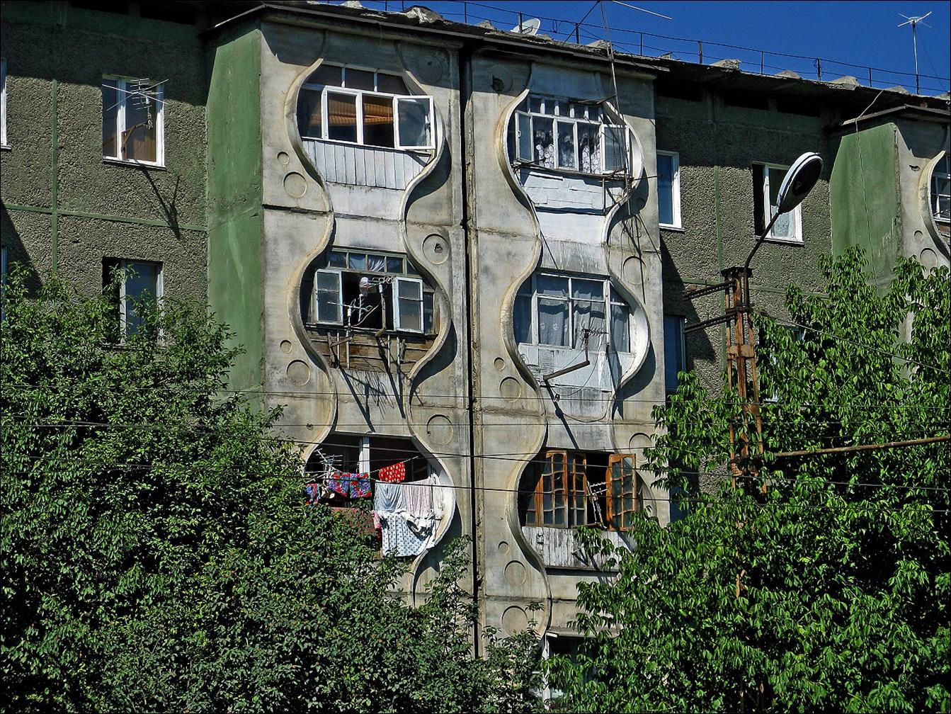
-
Typical apartment building dating back to Soviet time.
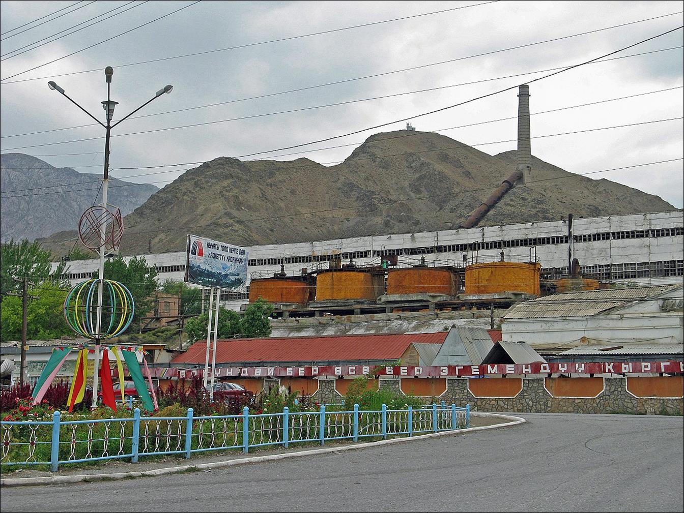
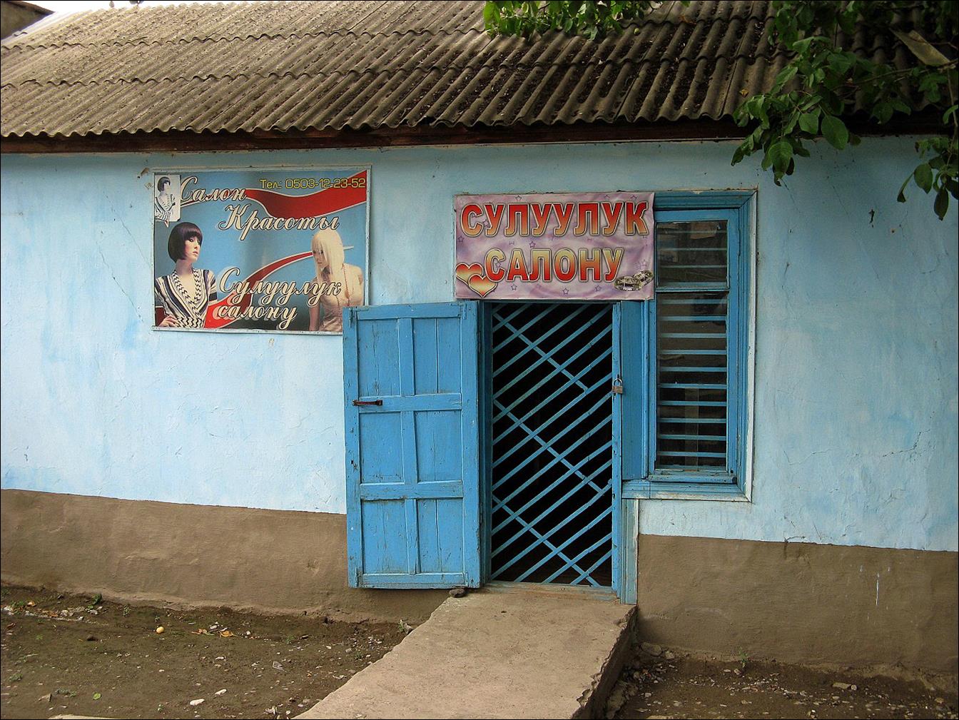
On
our way to Khajdarkan and the start of the trek, we
drove through the industrial town of Kyzyl-Kija:
-
Old plant.
-
Beauty salon.
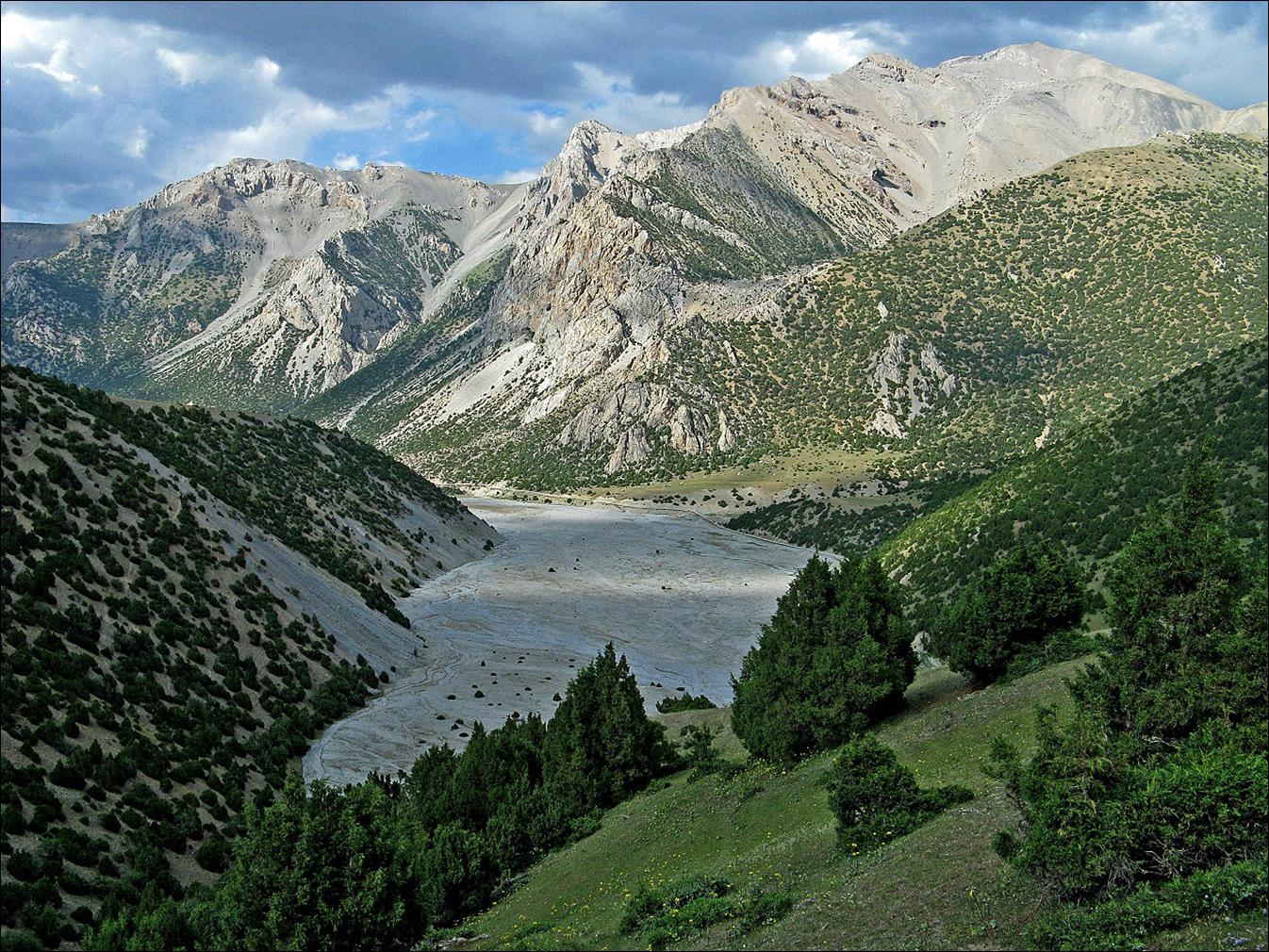
Start
the trek south of Khajdarkan, at the end of the road
visible on the right of the valley‛s flat bottom.
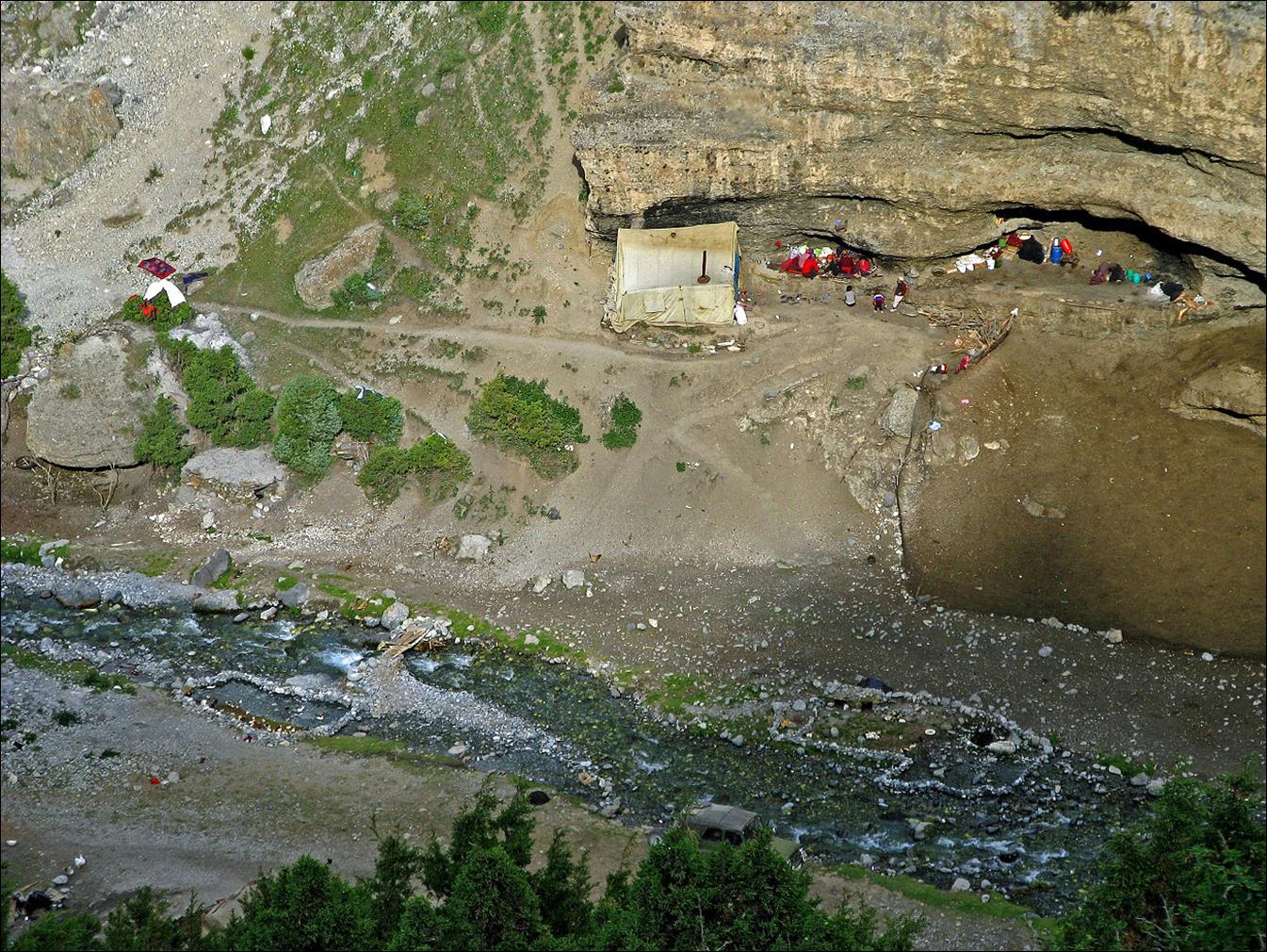
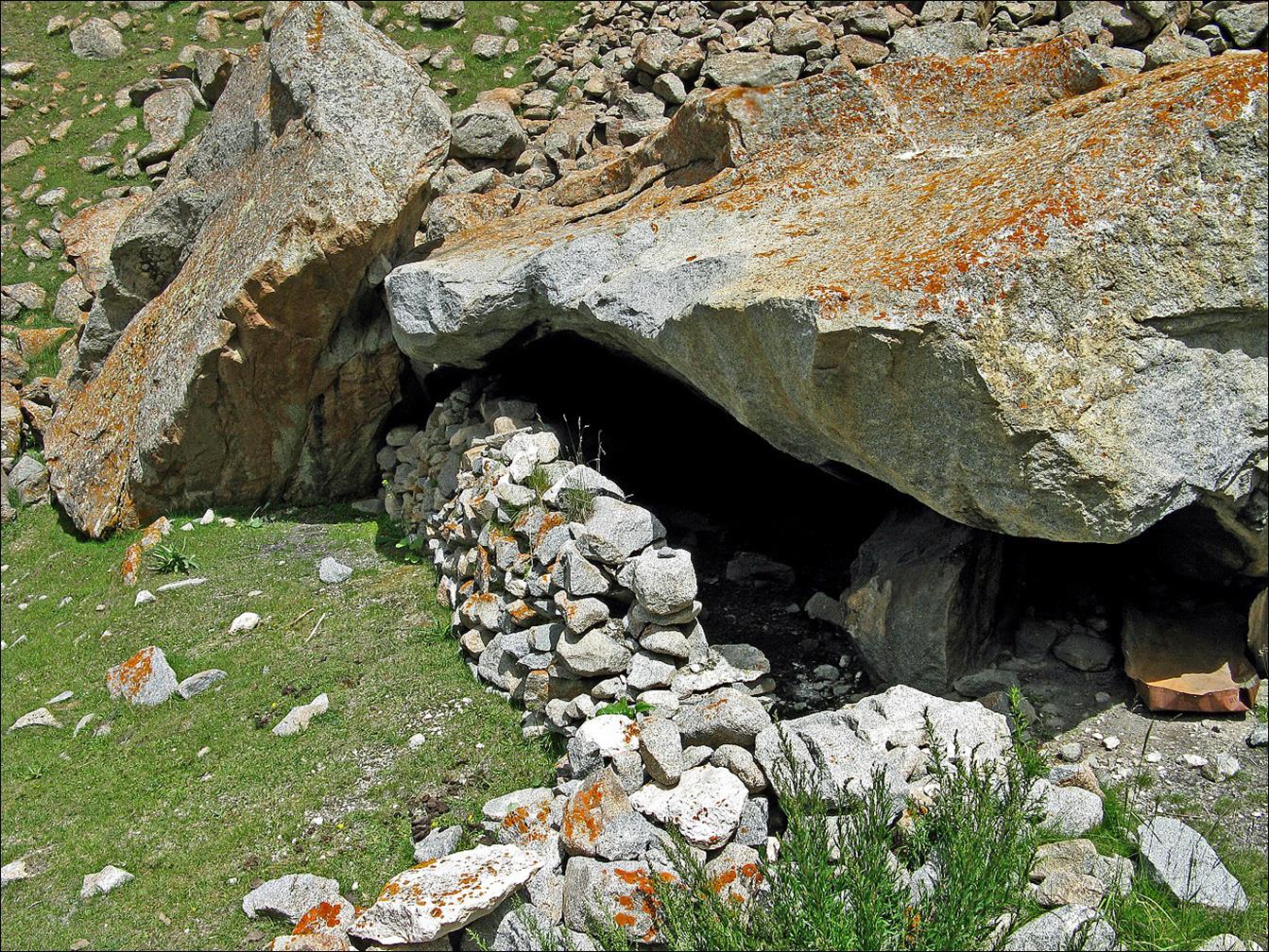
A
small kosh partially set in a cave, near the start of
the trek.
On
our way to Kumbel pass.
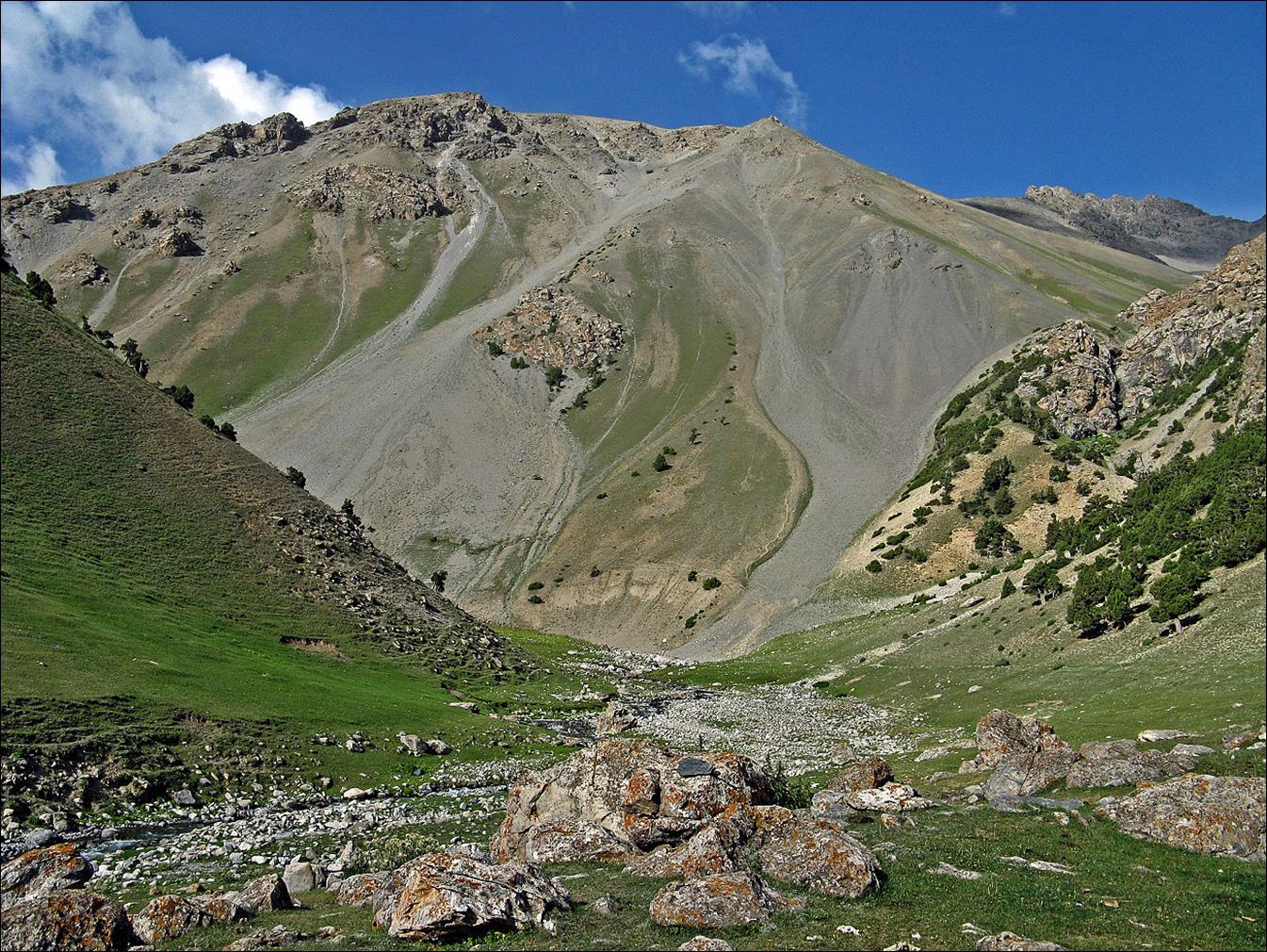
Views
from Kumbel pass (3958m). First photo: climbing side.
Second photo: descent side.
Looking back at Kumbel pass after the descent.
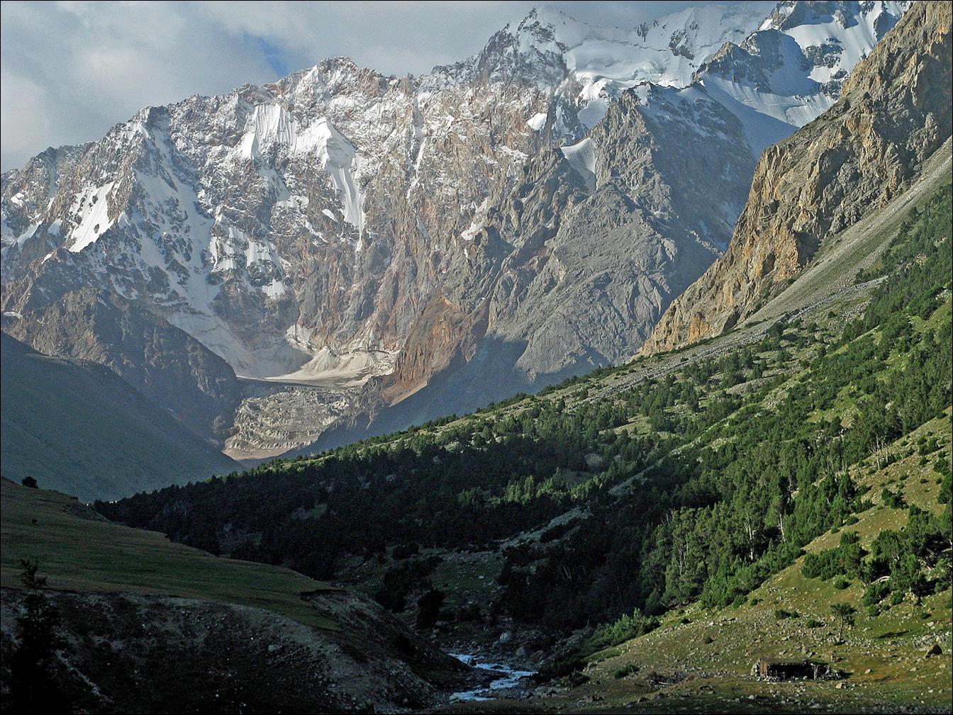
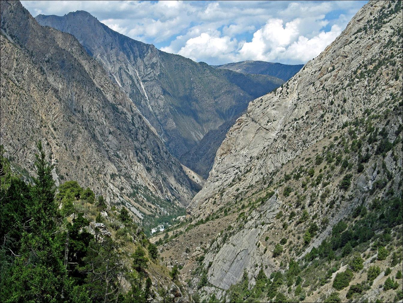
Valley of Eki-Daban river
below Kumbel pass.
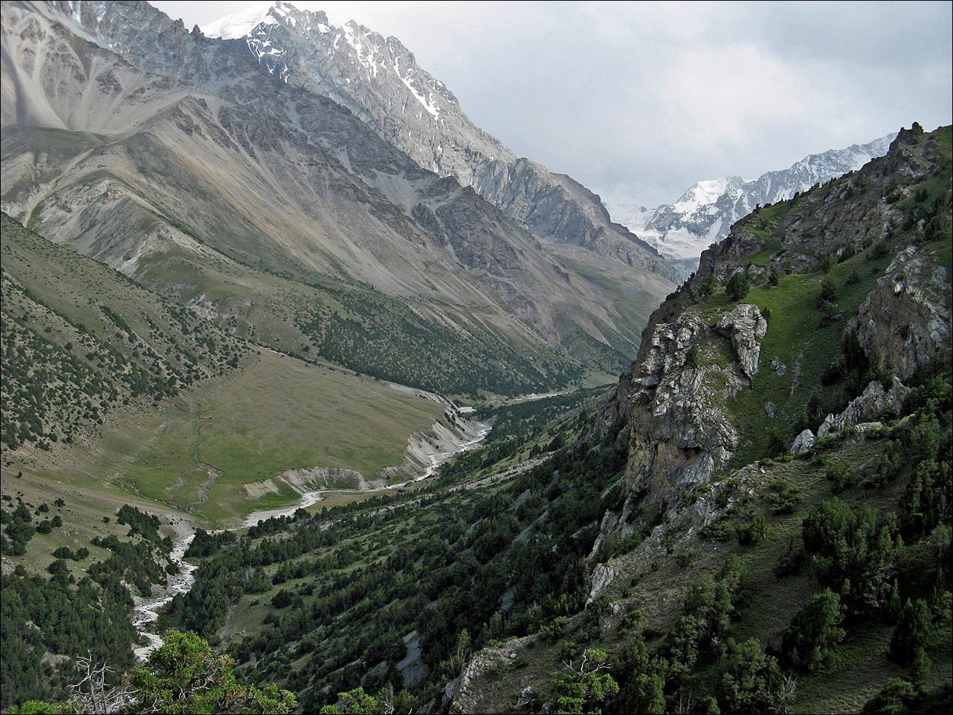
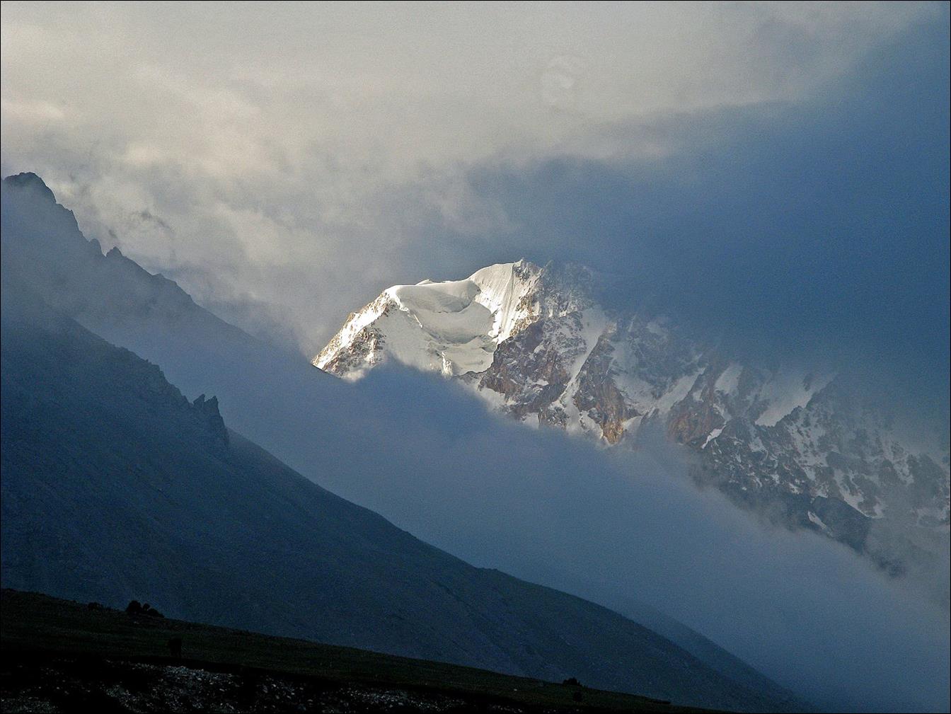
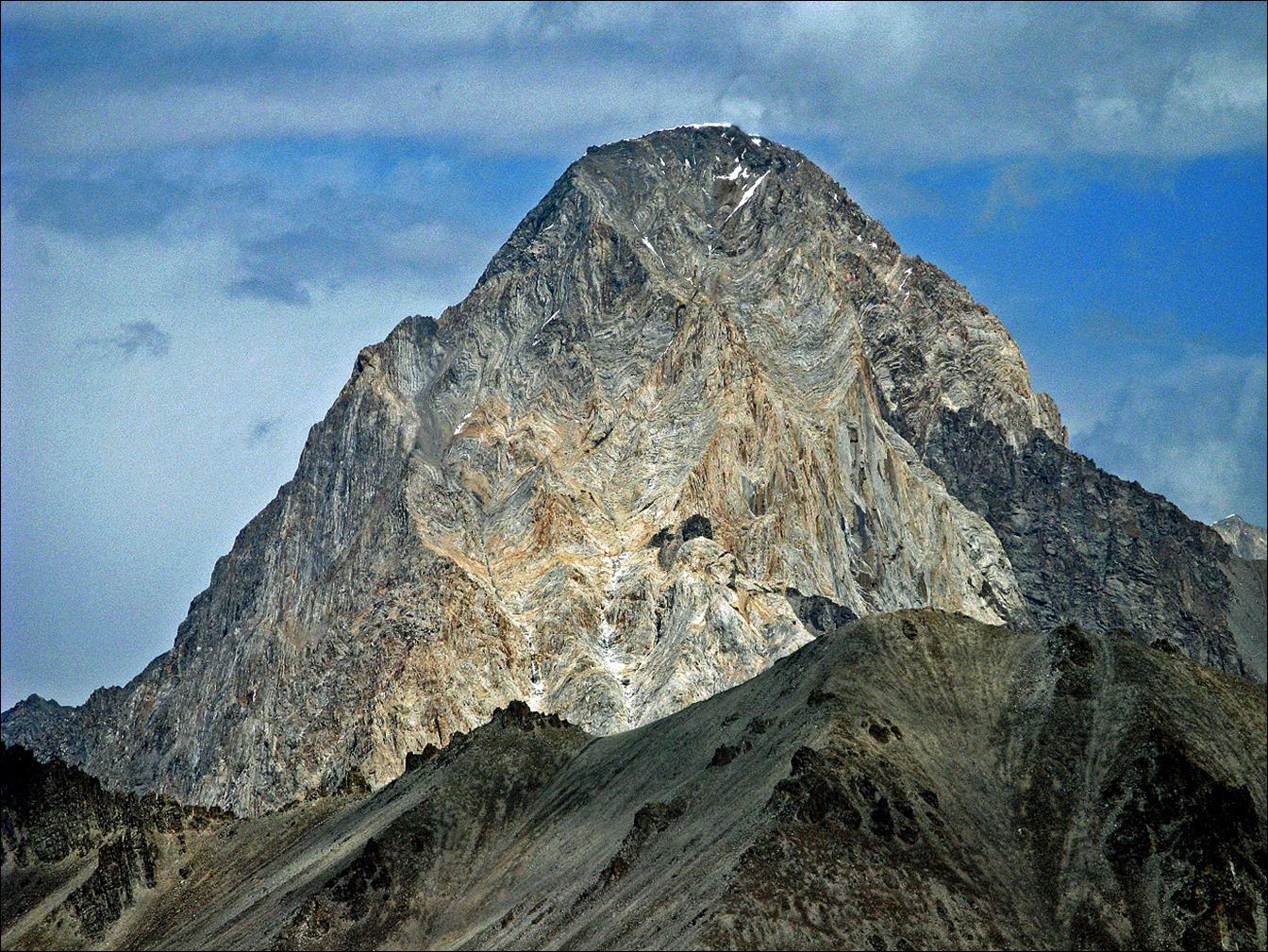
Glaciated
peak in the clouds seen from the Eki-Daban valley.
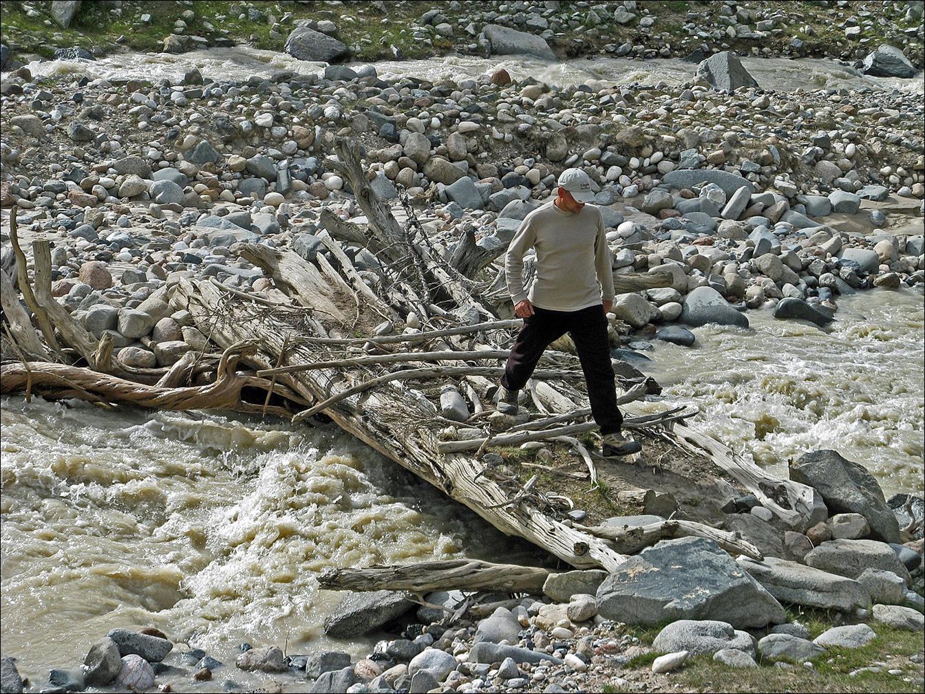
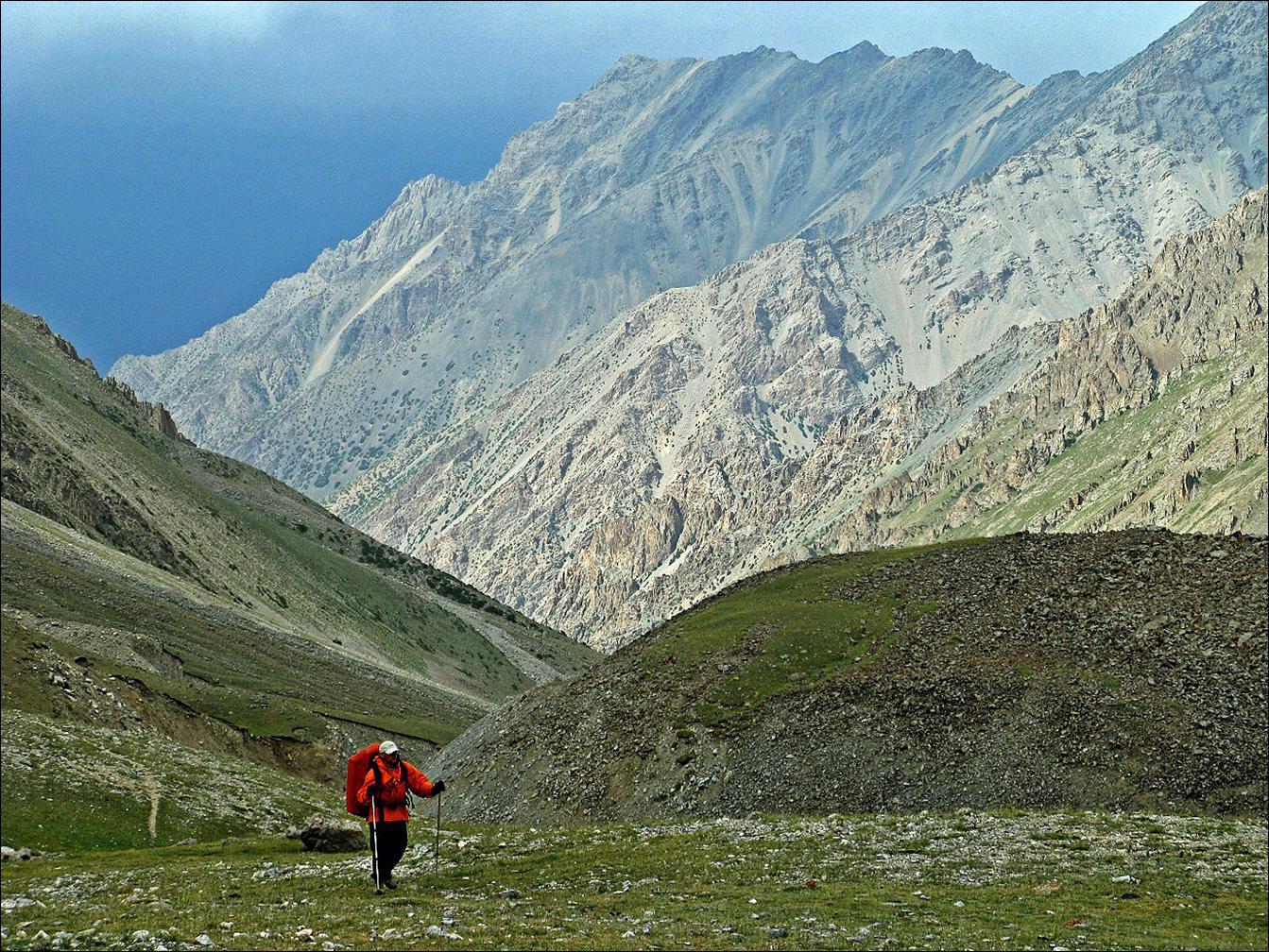
Vyacheslav crossing the Eki-Daban river on a late afternoon.
We
set up a camp in the Eki-Daban valley near a small shepherd house (visible at
the bottom-left corner of the photo below) on our way toward Alaudin pass.
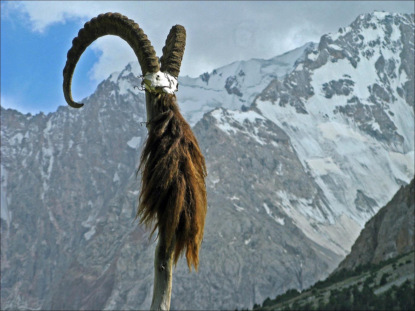
Horns
of a mountain goat mounted on a pole marking a graveyard near our camp. It is a
rather frequent sight in Central Asia, where Muslim rites remain influenced
with older beliefs. Horns on graves or cemeteries are intended to fight off bad
spirits.
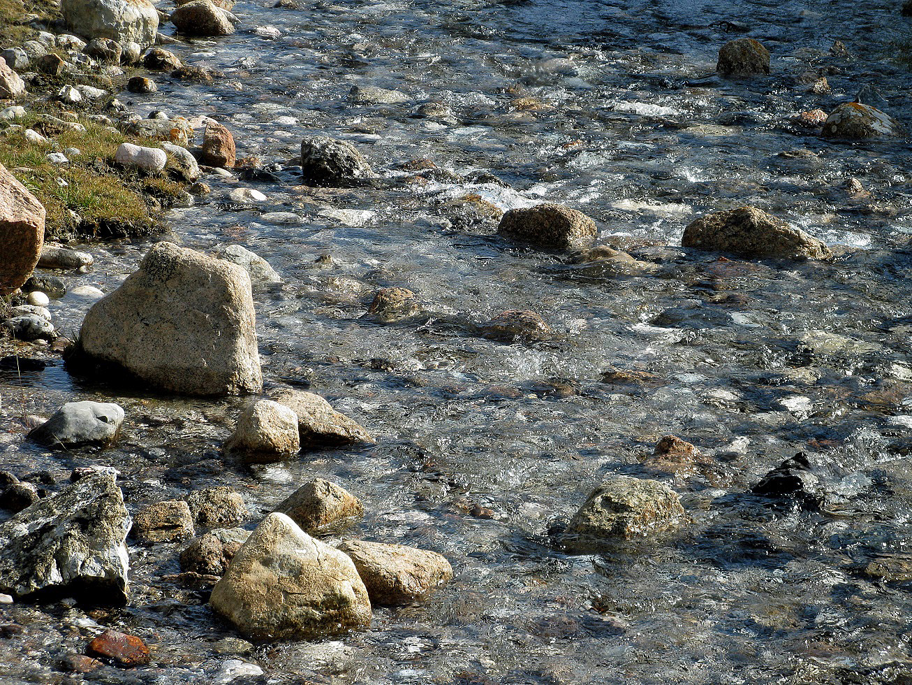
The pristine water of
Eki-Daban river in the morning.
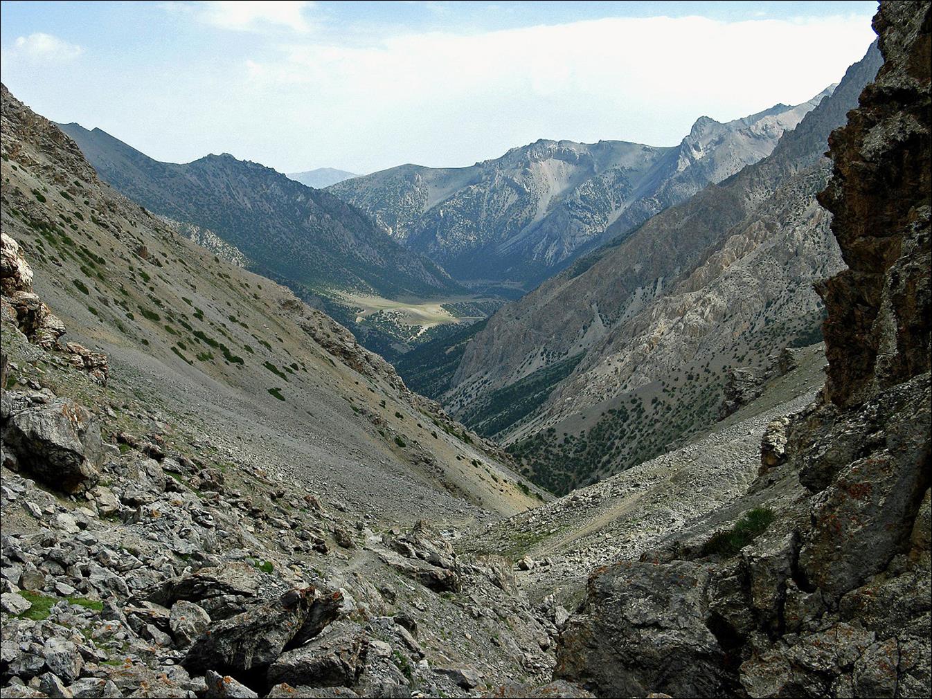
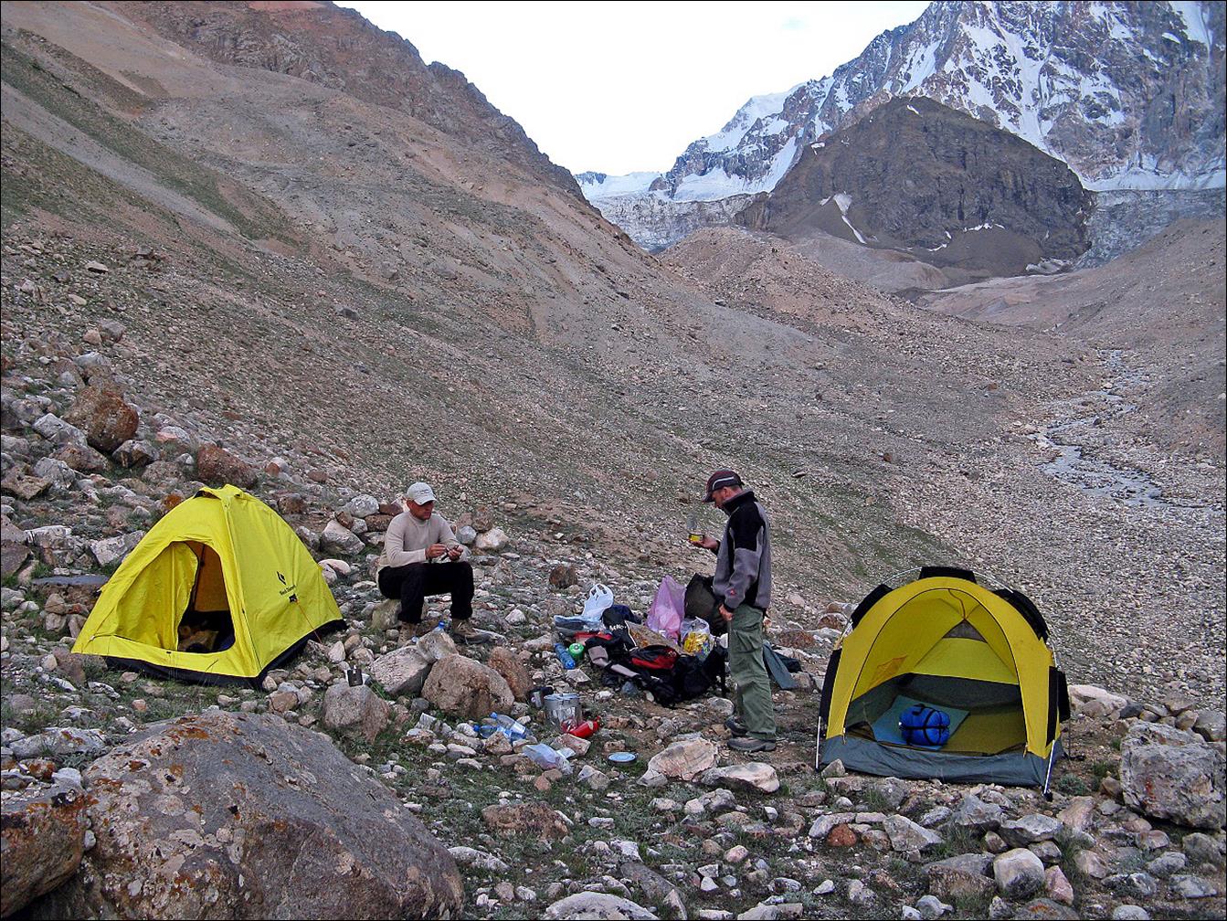
Our
next camp, much higher up in the valley below Allaudin pass.
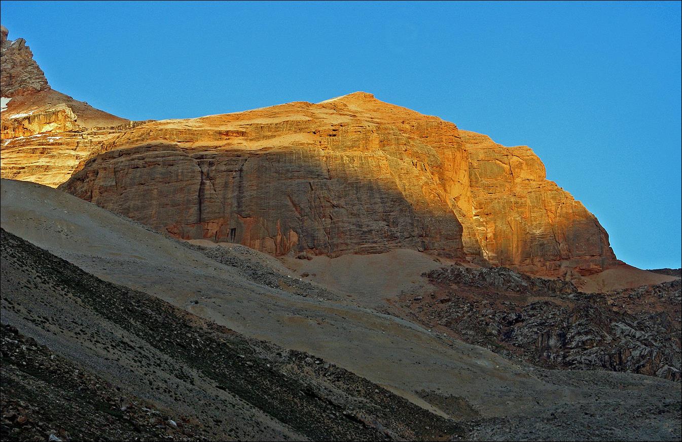
Rock formation above our
camp at sunset.
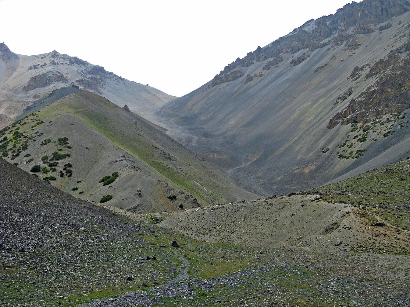
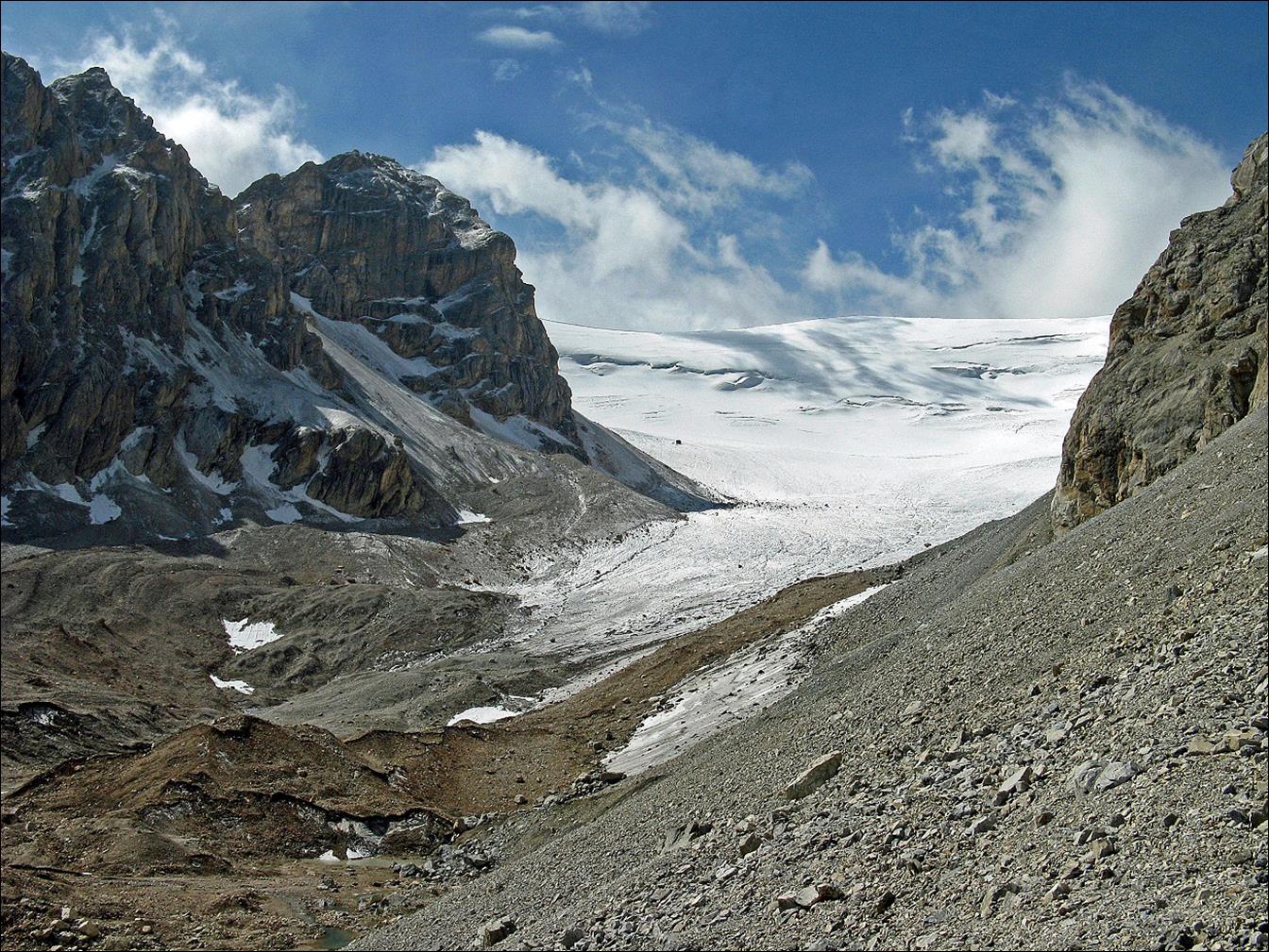
Successive
views during our ascent toward Allaudin pass.
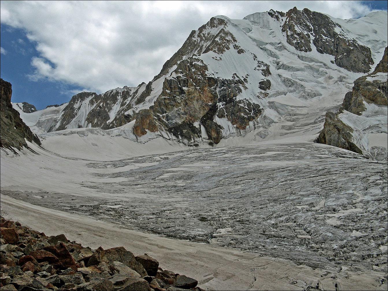
View
of Allaudin pass (4300m). The last slope below the pass is not very steep, but
it was still covered by blue ice late in the day. With no appropriate gear it
would have been unsafe to cross the pass. So, we decided to retrace our path
back along the Eki-Daban
river and, instead, switch to the next valley on the
east (the valley of the Allaudin river) by crossing Yachiy
pass.
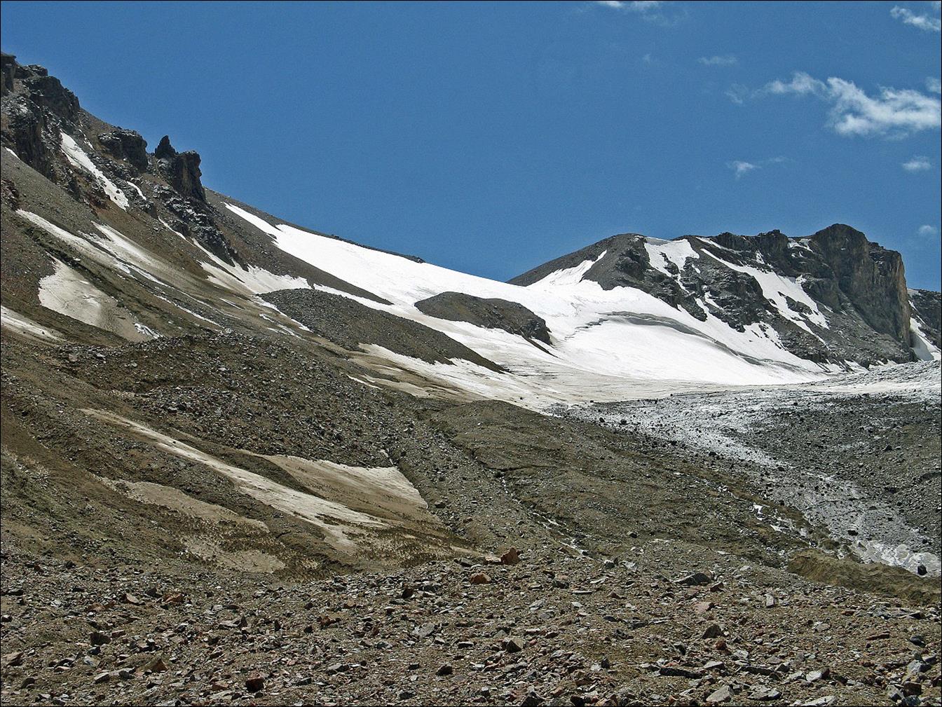
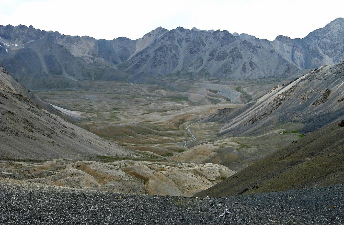
Snow/ice-free
Yachiy (which means ″Yack″) pass (4107m)
between the valleys of Eki-Daban
and Allaudin rivers.
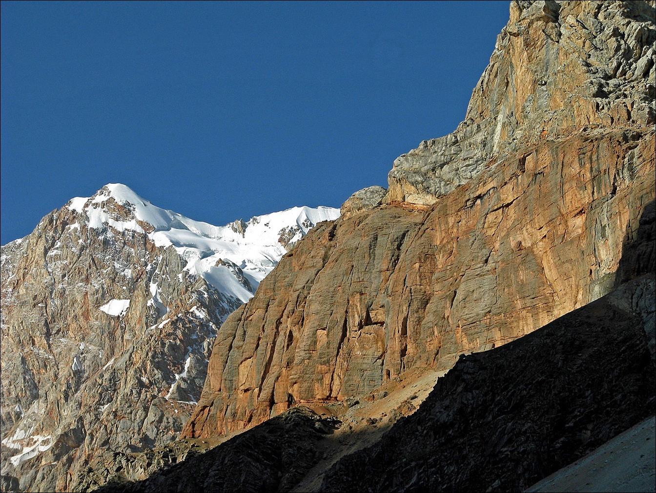
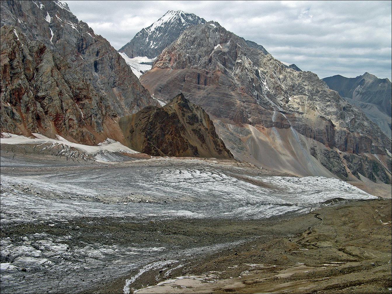
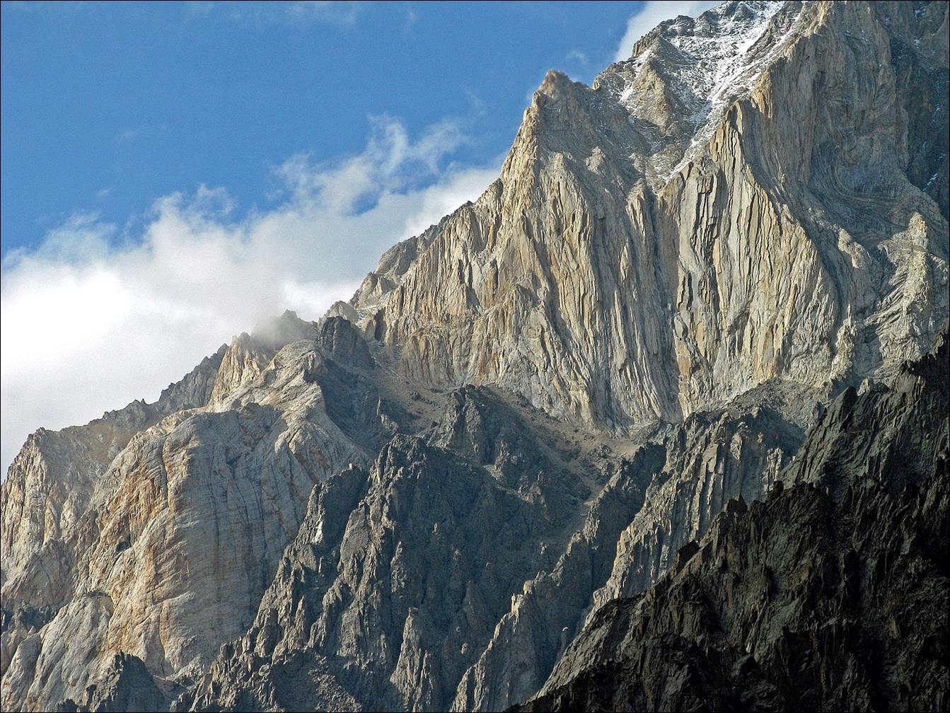
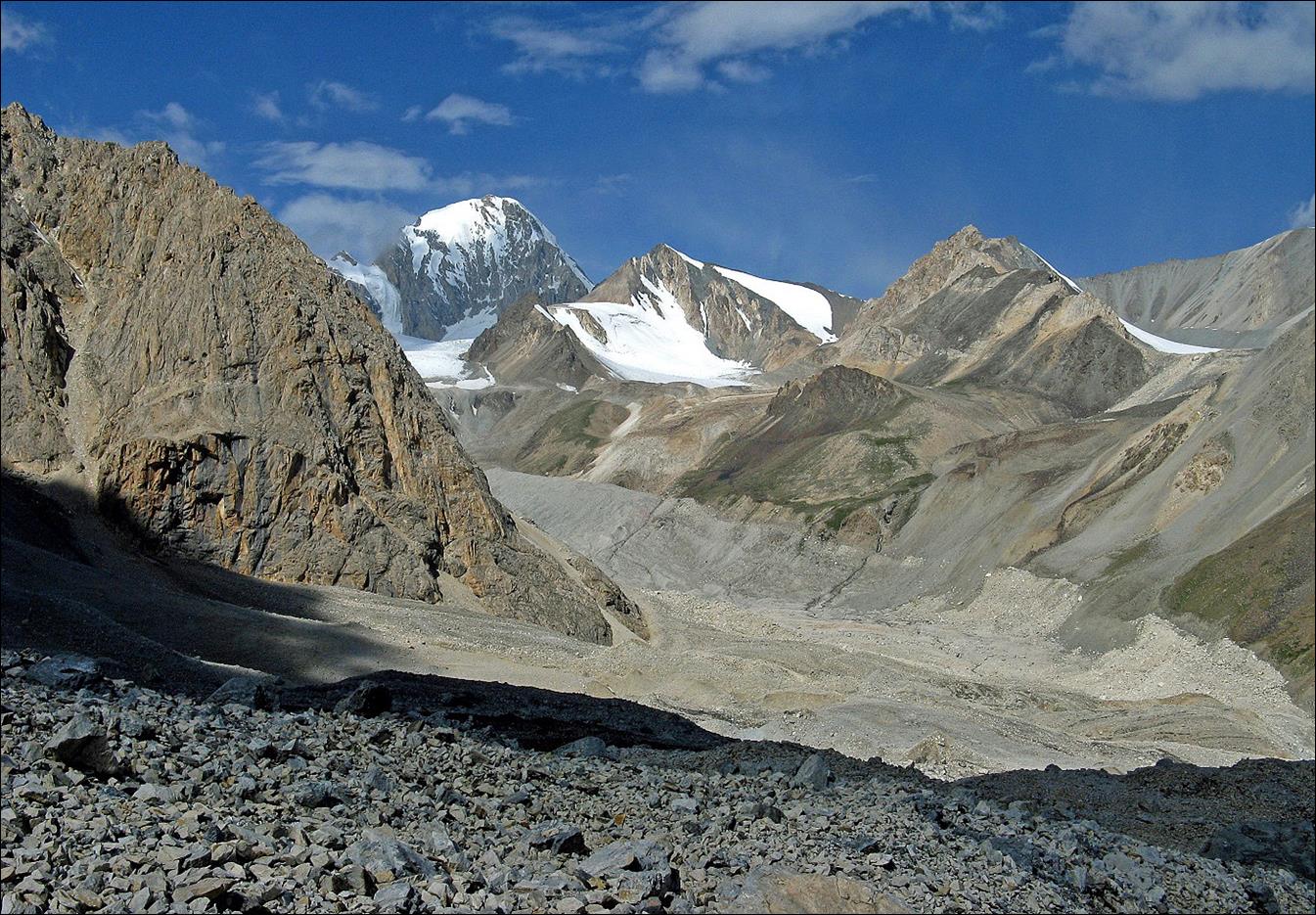
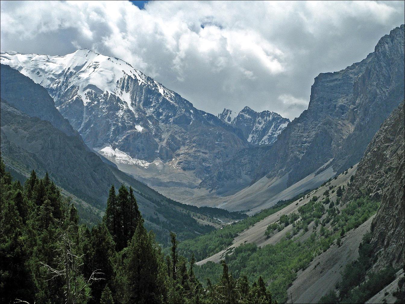
5077m
peak viewed from Yachiy pass.
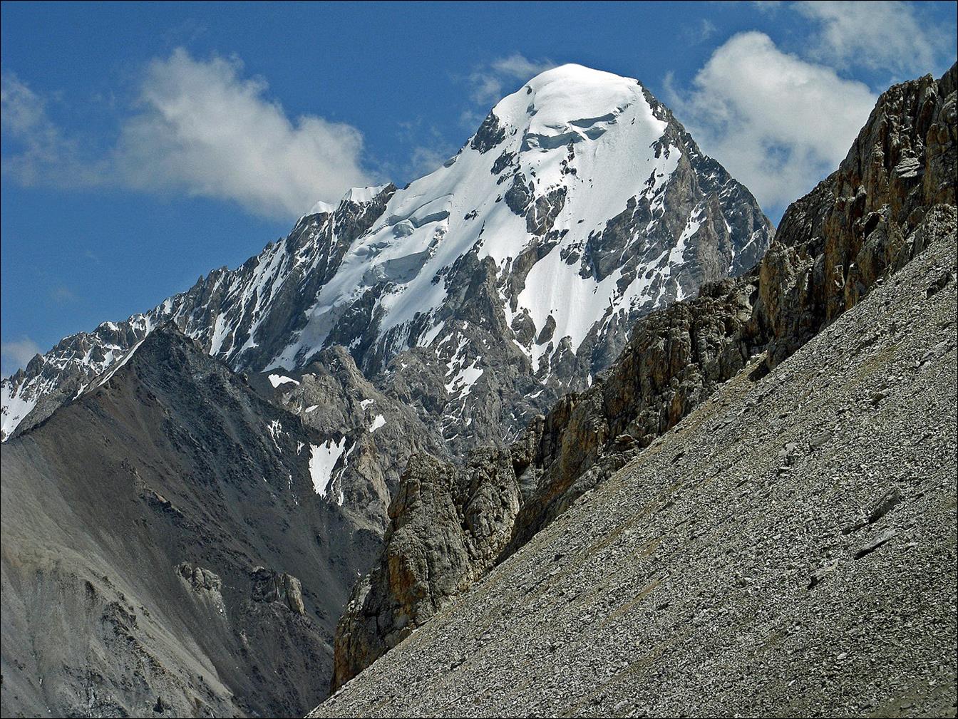
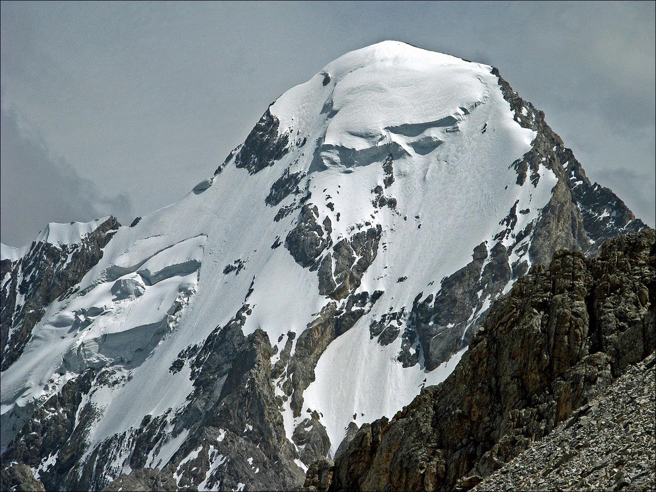
The
same 5077m peak viewed a few days later from the upper Kora-Kazik valley.
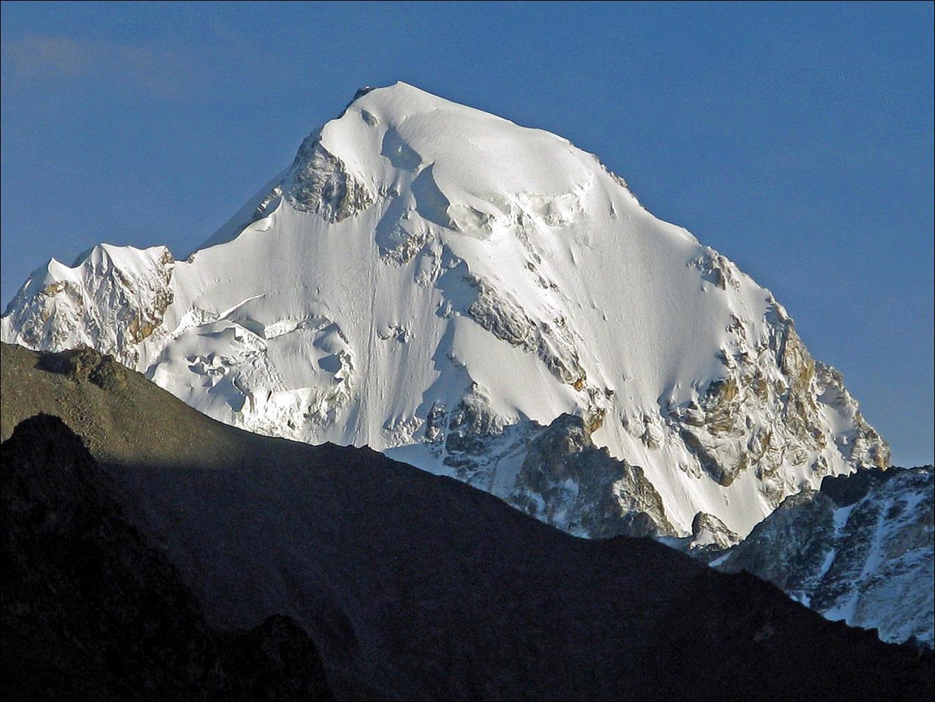
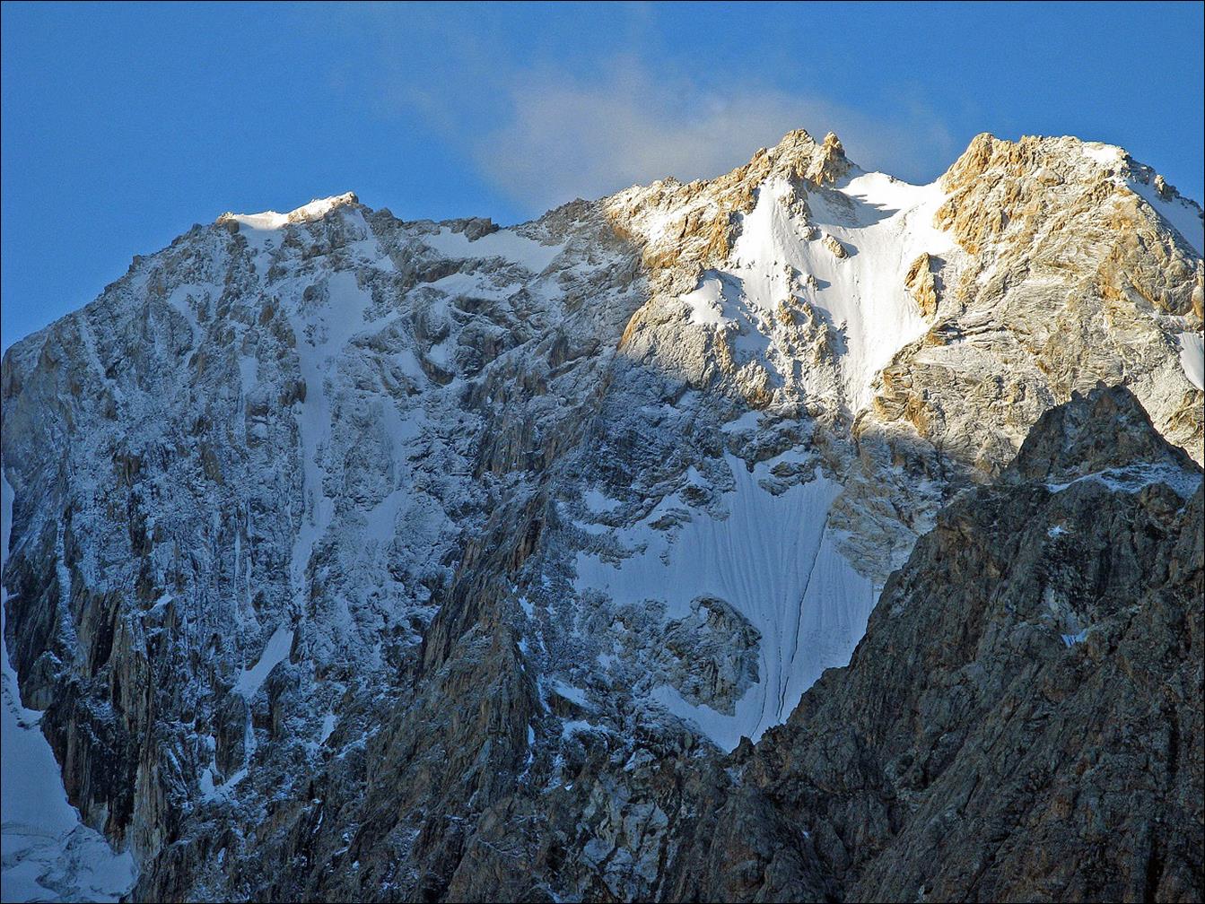
5005m
peak viewed from Yachiy pass over the Allaudin and Kora-Kazik valleys.
After descending from Yachiy pass we hiked up the upper portion of the Allaudin
valley (south of Yachiy
pass).
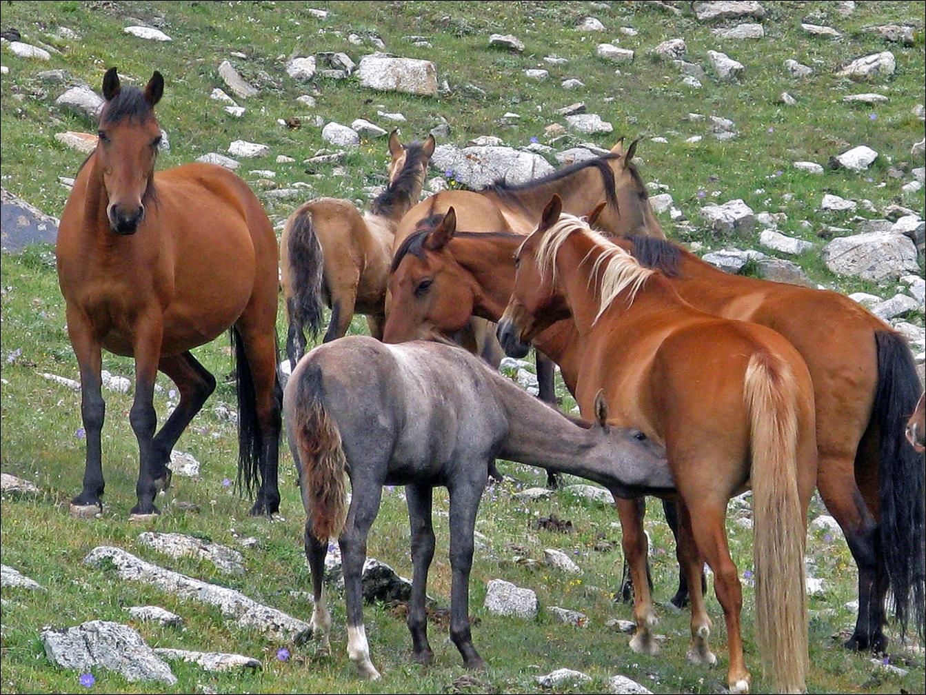
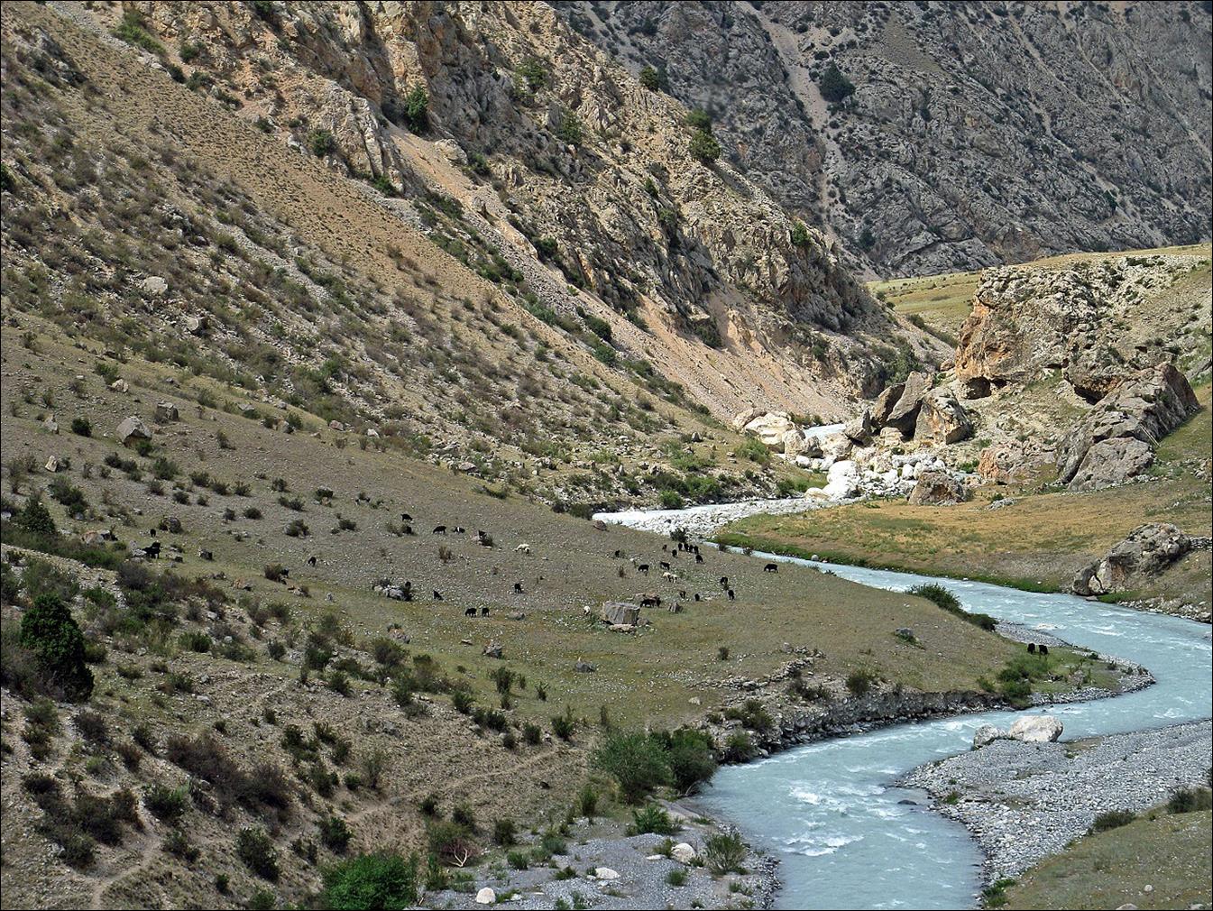
We then hiked back down the valley to reach the Kora-Kazik river. Horses in the lower Allaudin valley.
The Allaudin valley just before reaching the Kora-Kazik river.
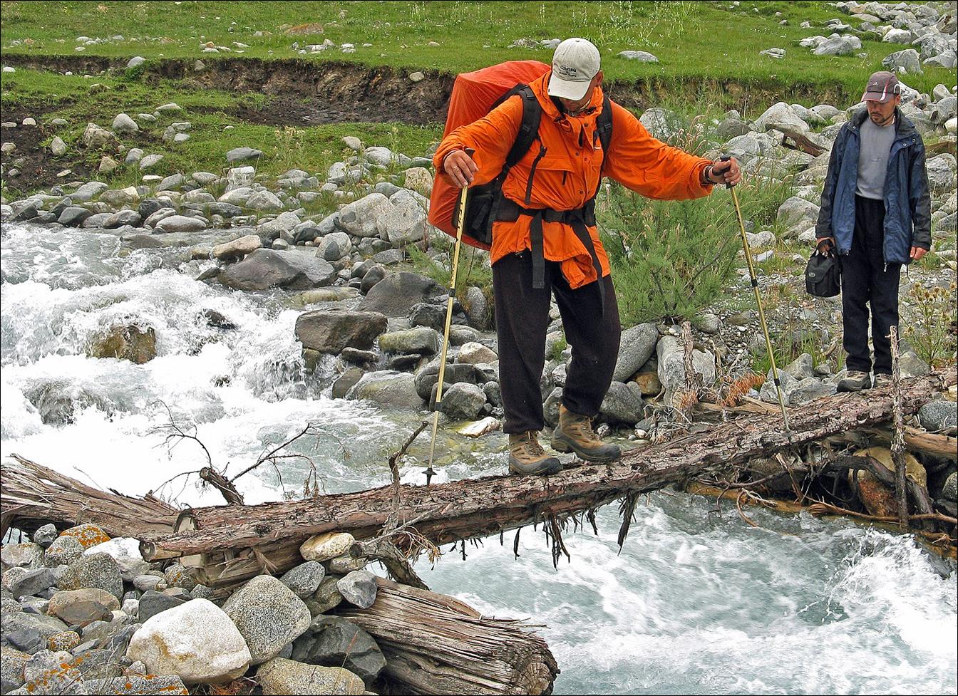
Vyacheslav crossing the
Kora-Kazik river on a narrow slippery bridge, with Maxim watching.
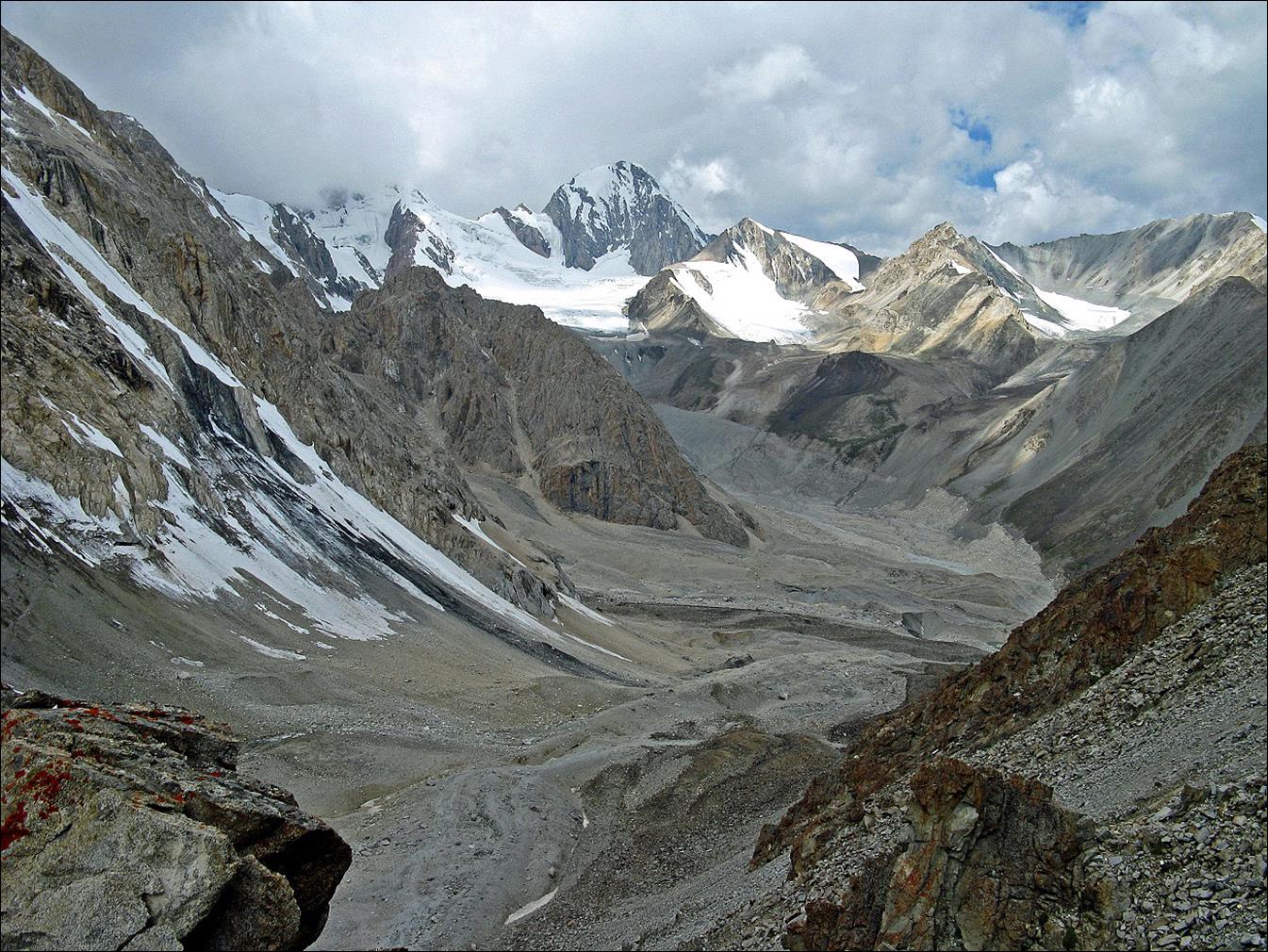
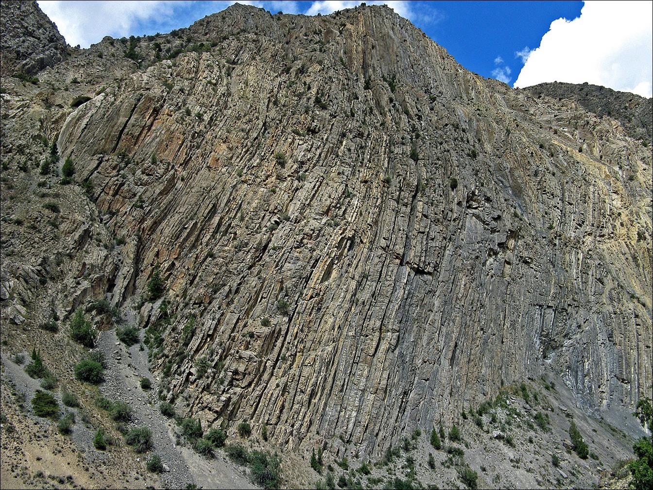
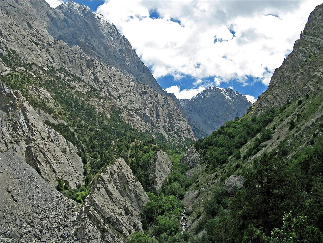
Successive views while
hiking up along the Kora-Kazik valley.
Our camp in the upper
Kora-Kazik valley.
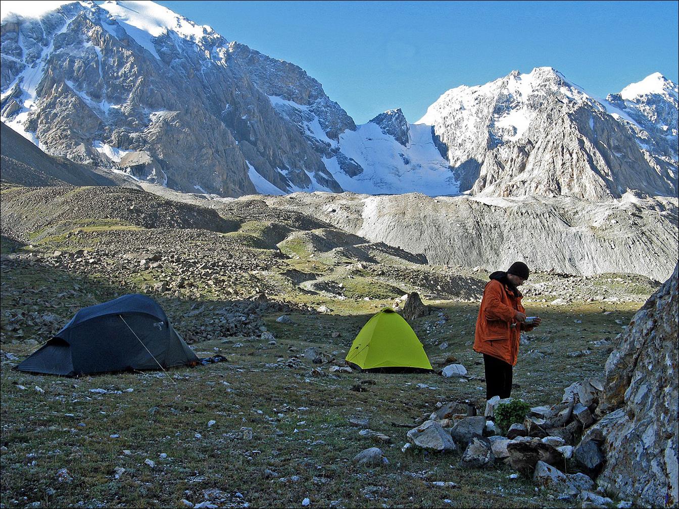
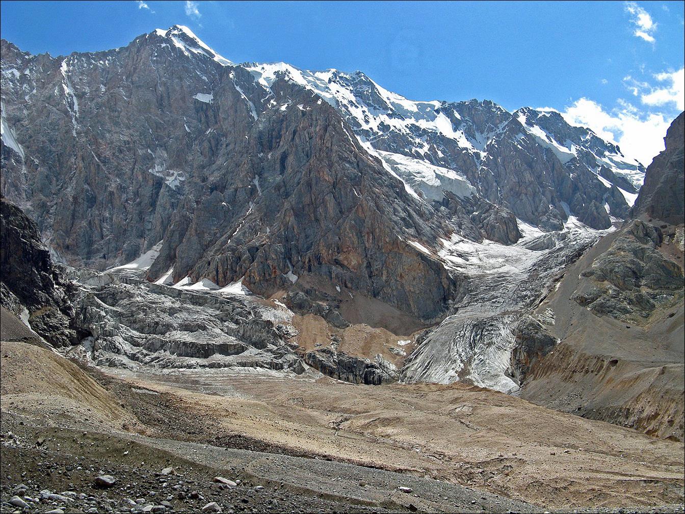
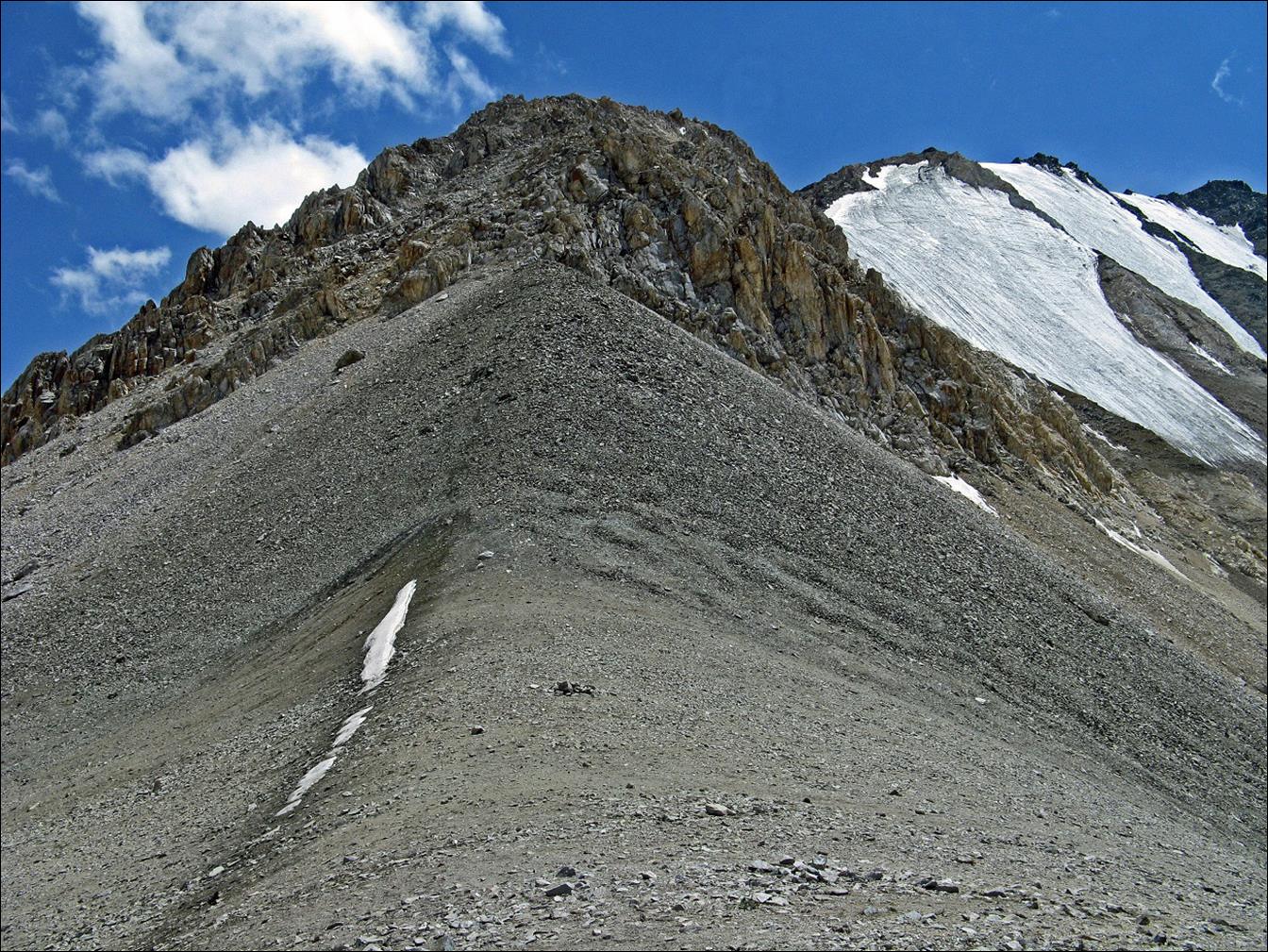
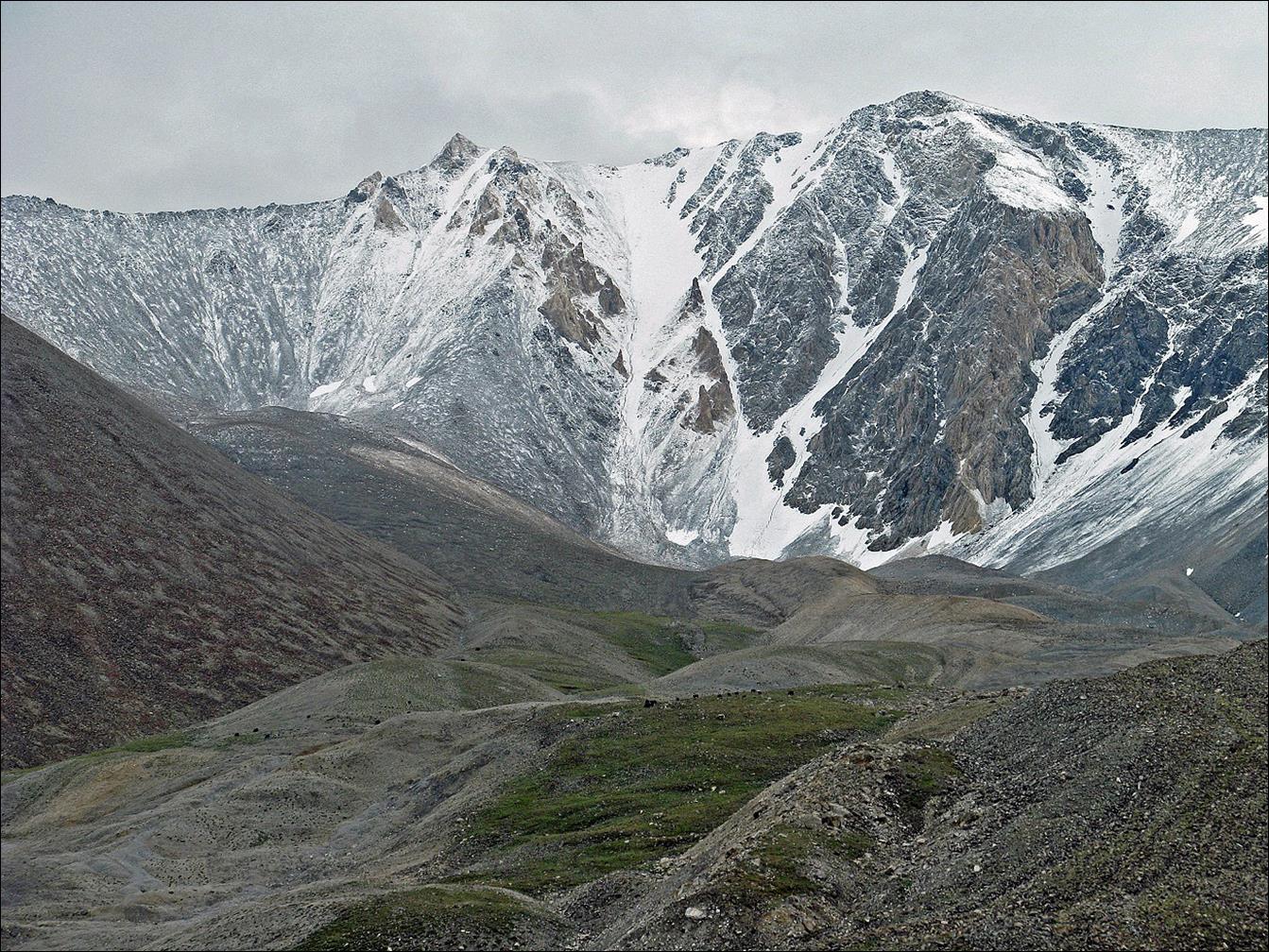
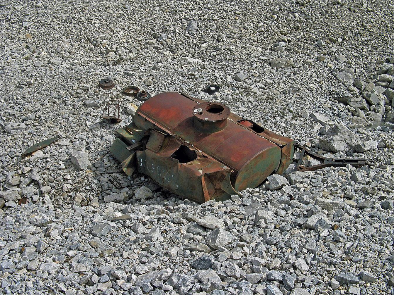
Further up on the next
morning toward Kora-Kazik pass. Remains of former (Soviet-time) mining
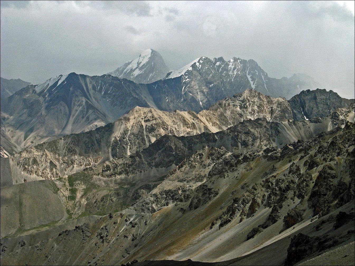
operations above 4000m.
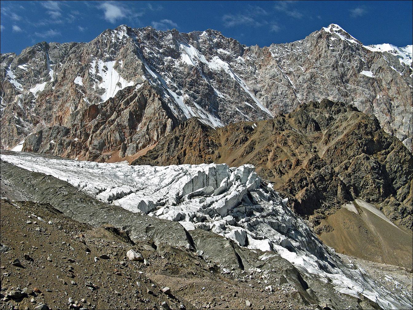
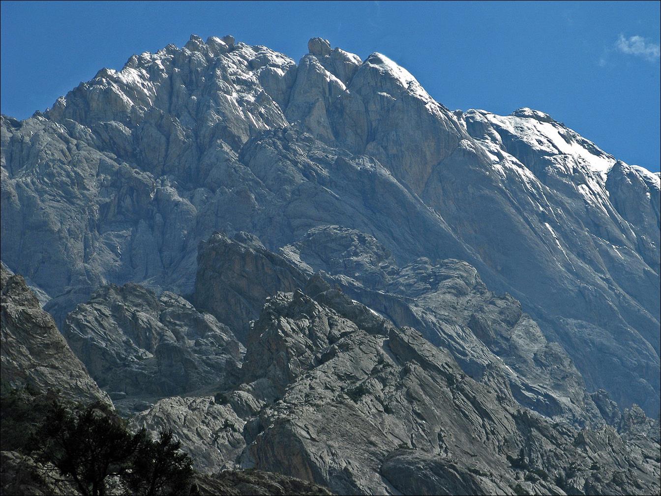
Views from locations near
Kora-Kazik pass.
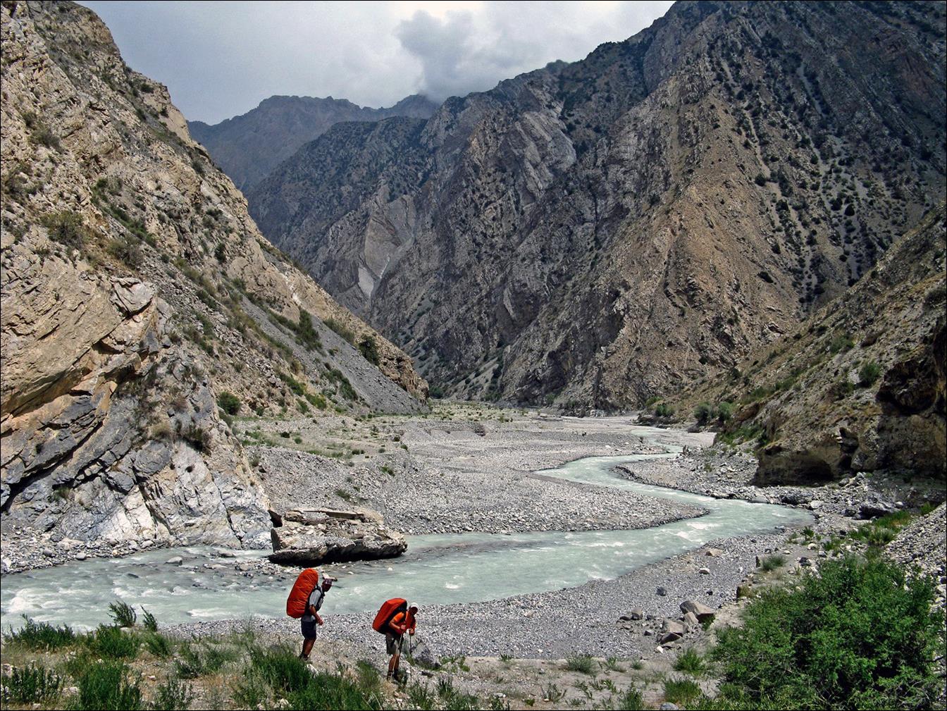
We retraced our path down
along the Kora-Kazik river, back to its intersection with the Allaudin river,
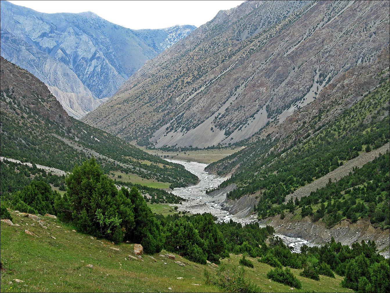
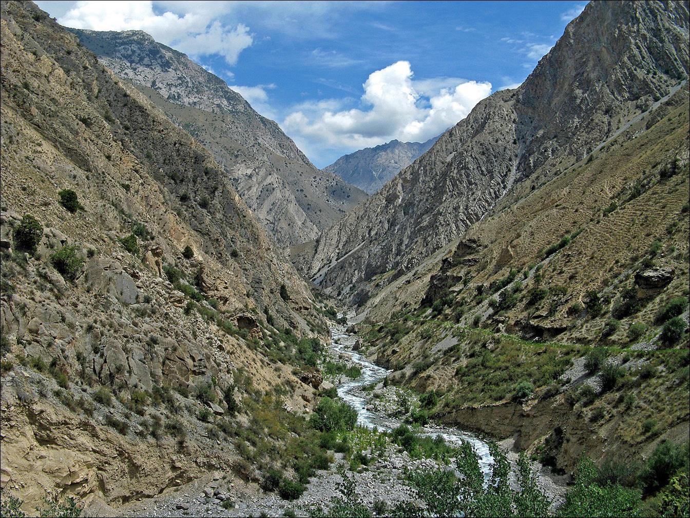
where the two rivers merge to form the Aksuu river. Successive views of the
valley of the Aksuu river.
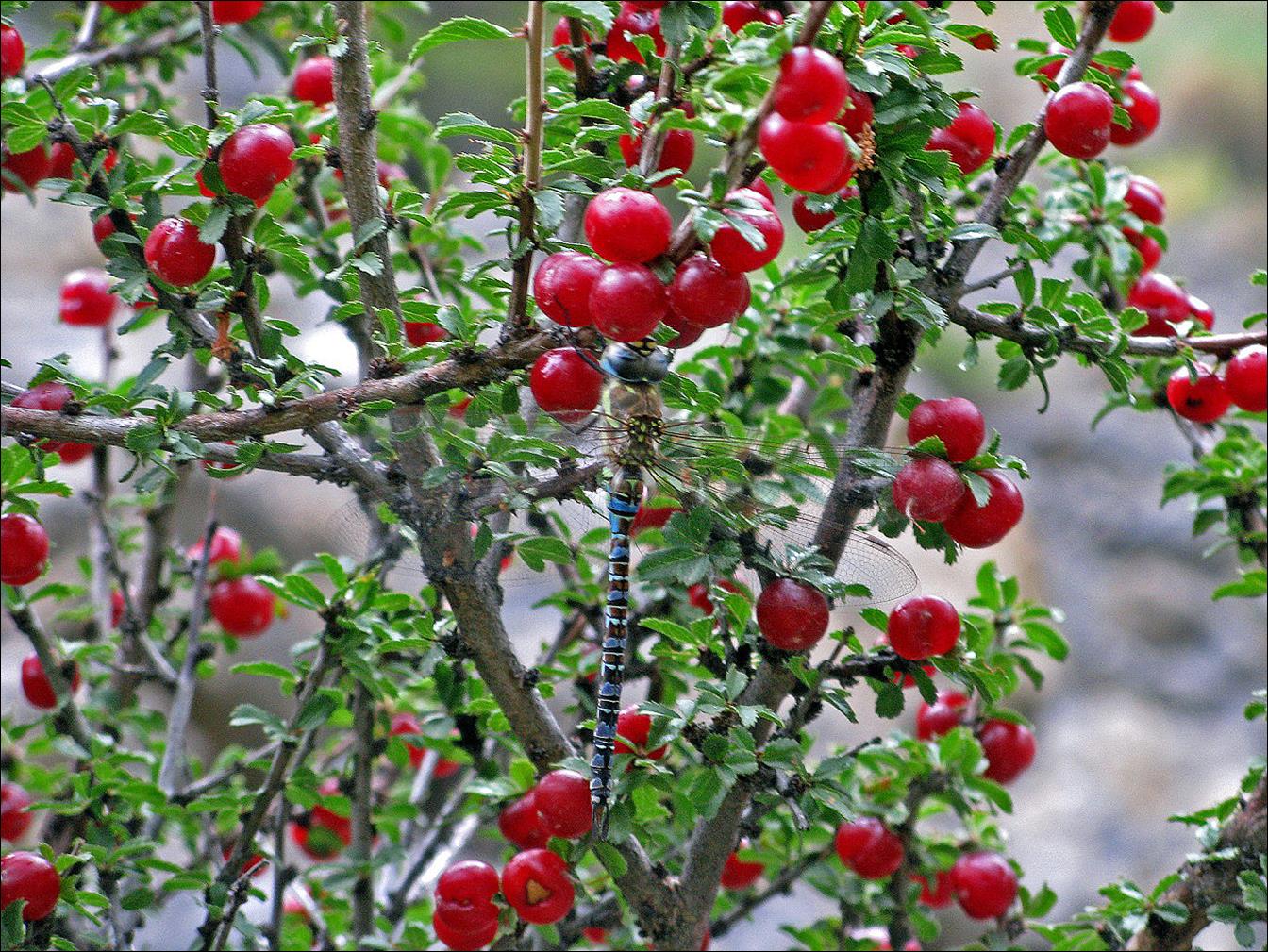
Mountain
cherries with dragonfly.
In the Gadjir
canyon, a side-canyon of the Aksuu valley.
In a smaller side-canyon
branching up from Gadjir canyon.
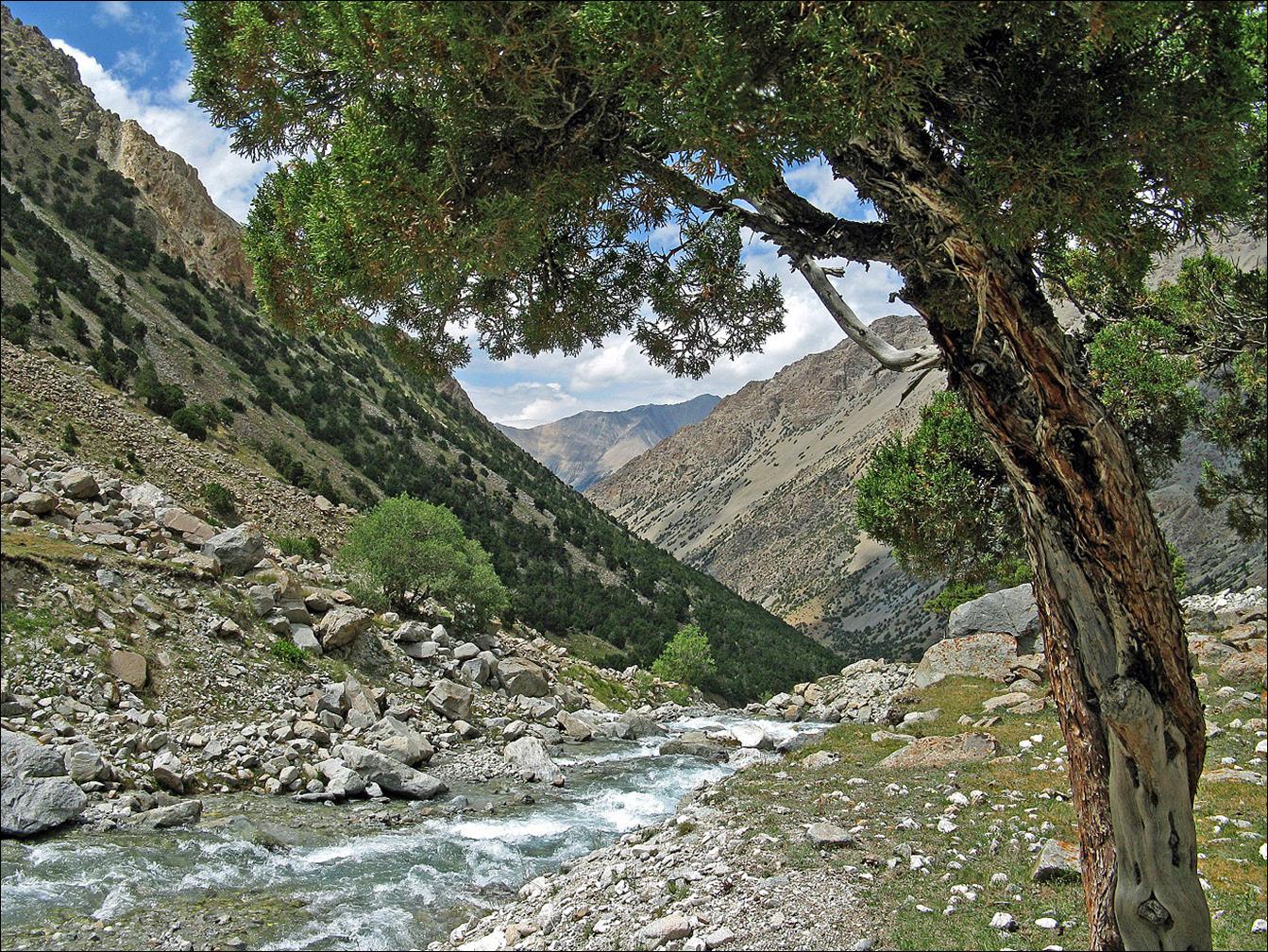
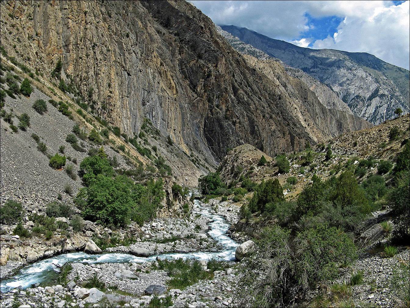
Along the lower portion of
the Aksuu valley.
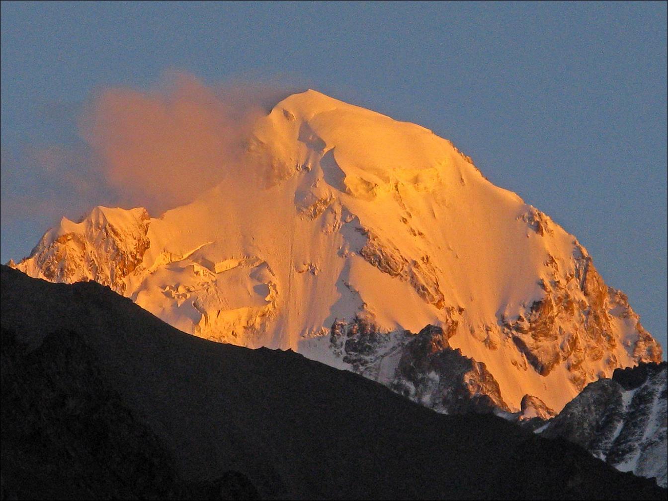
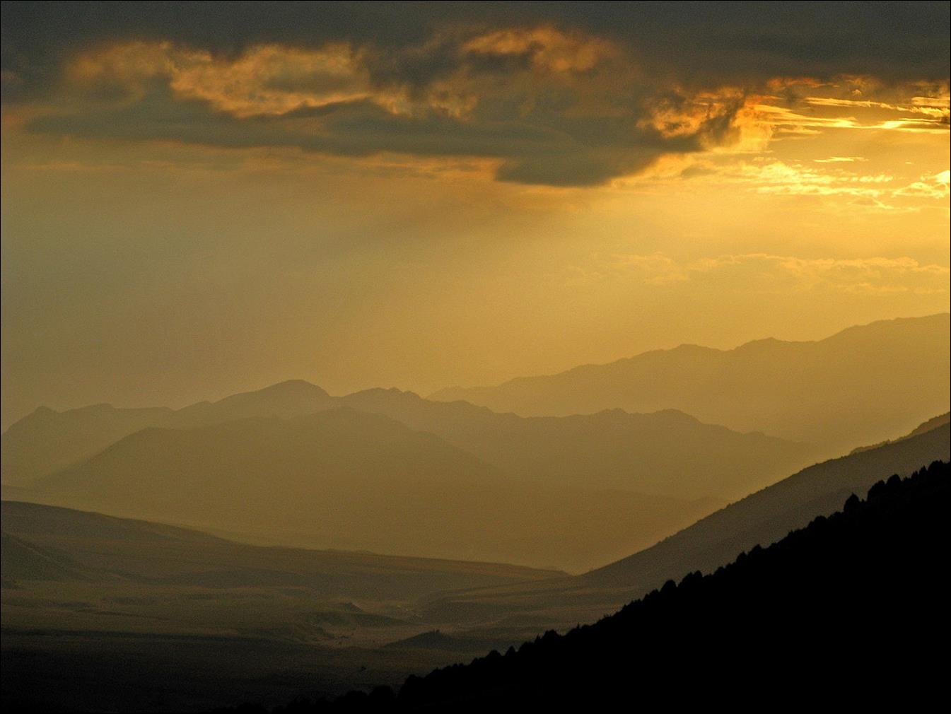
Last
sunset at the end of the trek.
![]()
Return to Kyrgyzstan
2008 main page