Terskey Ala-Too Range, North-East Kyrgyzstan
(August 4-11, 2011)
![]()
Return to my
mountaineering-trekking-travel webpage
After our traverse
of the Turkestan range, Maksim, Slava and I
decided to go to the opposite, north-east end of Kyrgyzstan, in the Terskey Ala-Too range, south of Issyk-Kul lake. This mountain range is very different from the
Turkestan range. It feels much less remote and wild, and not as mysterious. Due
to the proximity of the Issyk-Kul lake it receives much more rain and looks
like the Alps (but with higher peaks). It also attracts more climbers and
hikers (mostly from Russia) than the Turkestan range.
From the
village of Kyzyl-su, located 35km east of the city of
Karakol, we drove along the Chon-Kyzyl-Su river to the Dzhyluu-Su health ″resort″
(hot spring), where we started hiking. We hiked for 8 days, crossing 4 passes
(marked 1, 2, 3, and 4 in the topographic map below). We also crossed two main
rivers, Dzheti-Ogyuz and Karakol,
before reaching Arashan river.
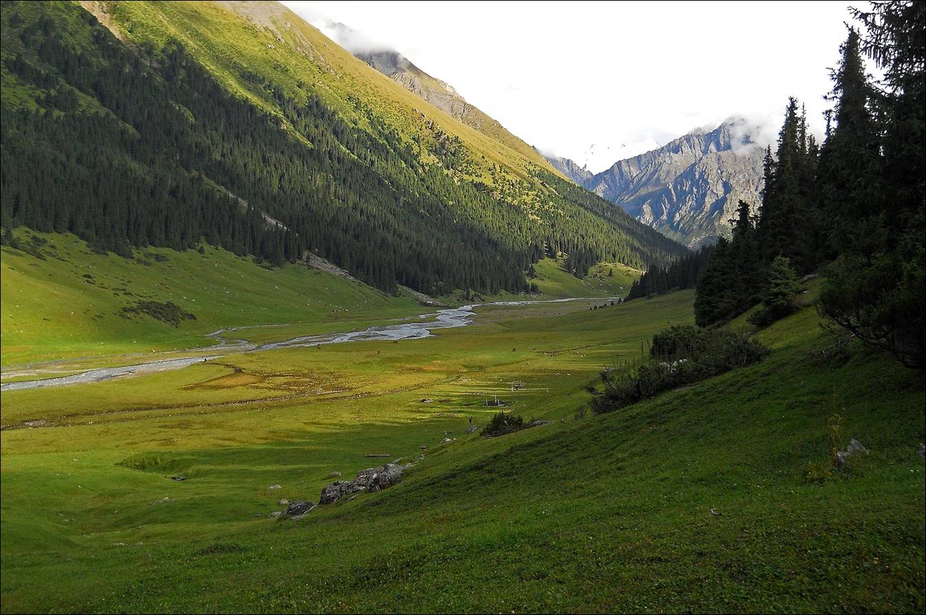
Then we hiked down along Arashan river
until we reached the Altyn-Arashan health ″resort″
(another hot spring). From there we returned to the city of Karakol
by car. In 1998 I had done a large fraction of this trek in reverse, as an
acclimatization trip before going to Khan Tengri (see
here).
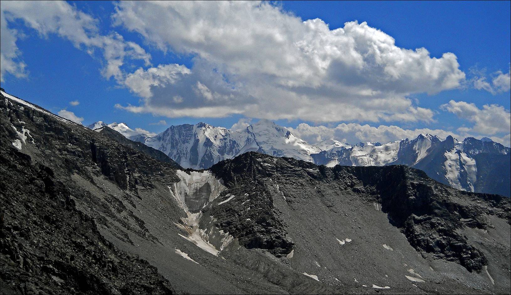
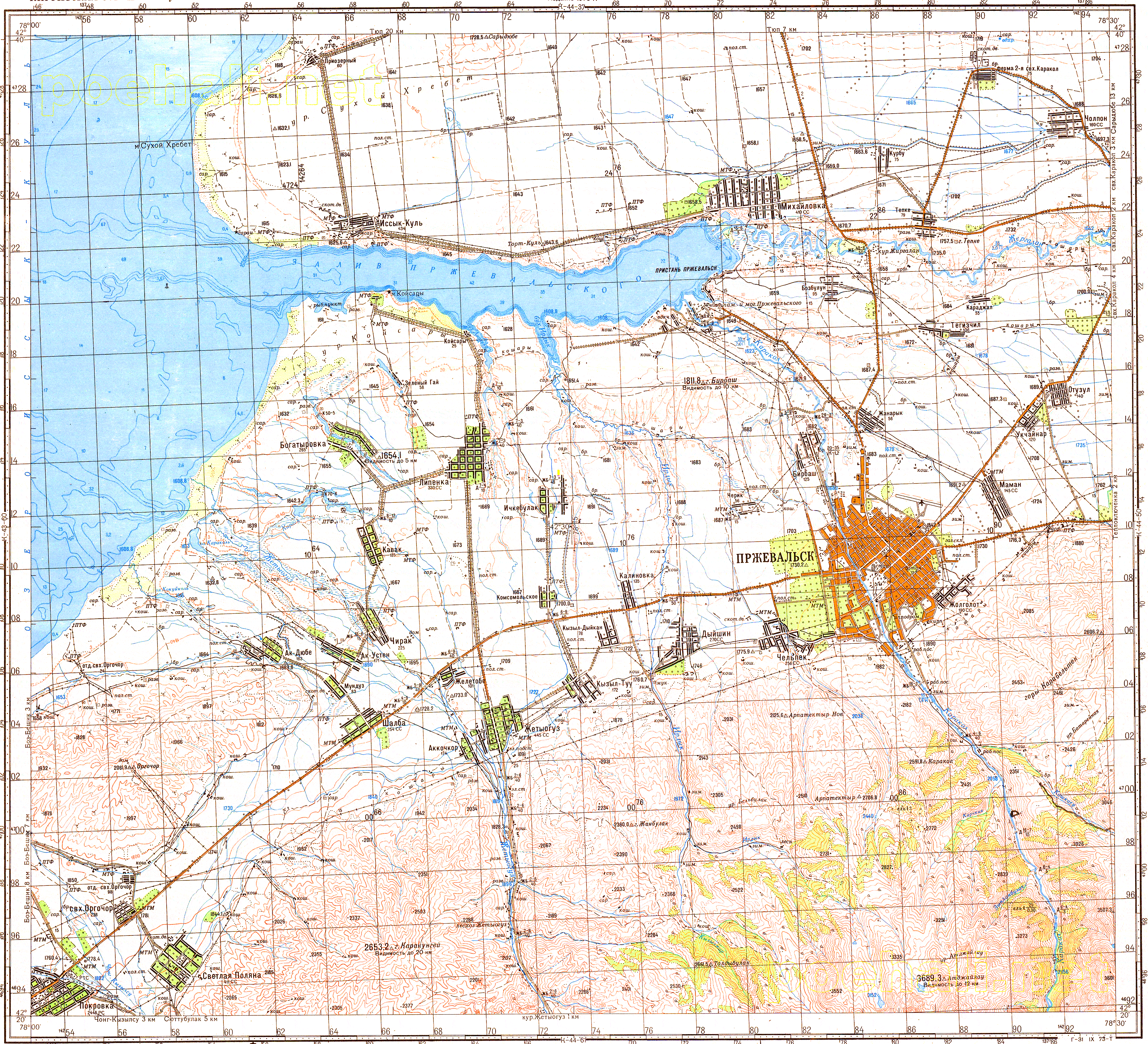
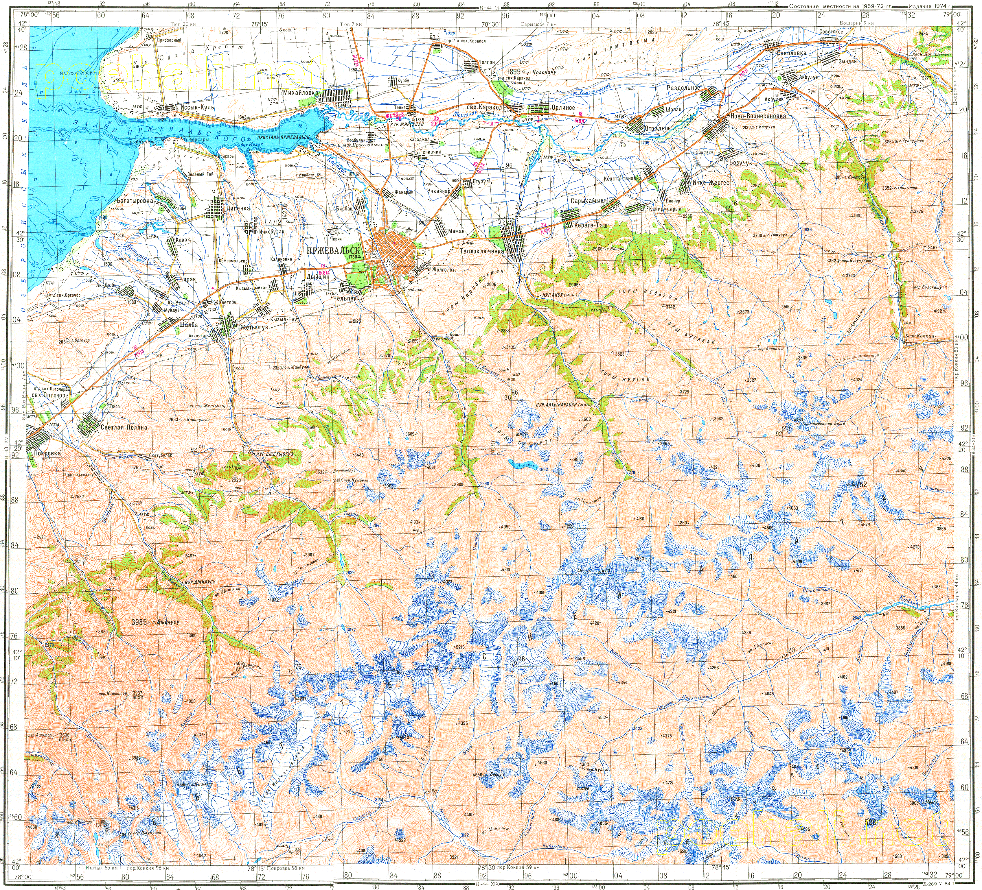
100K and 200K Topographic
maps of the area: 1,
2,
3,
4,
5.
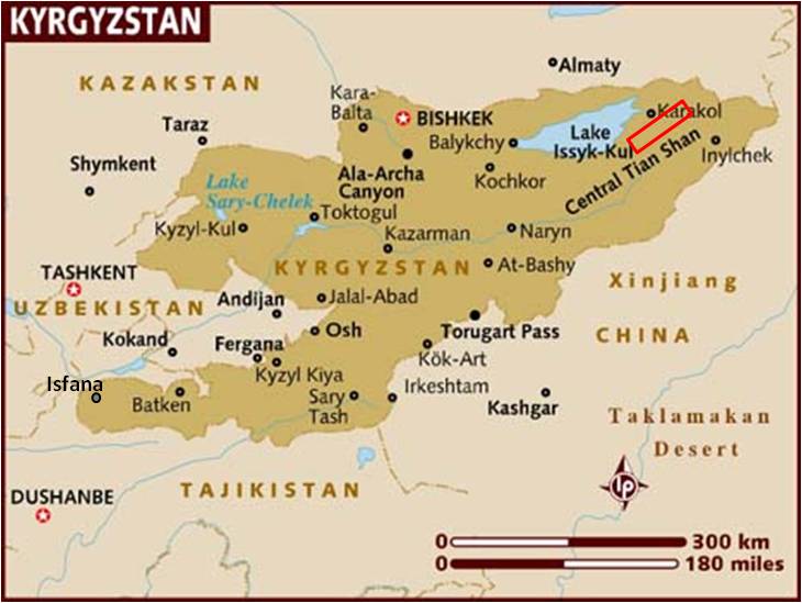
Location of
our Terskey Ala-Too trek, in red box.
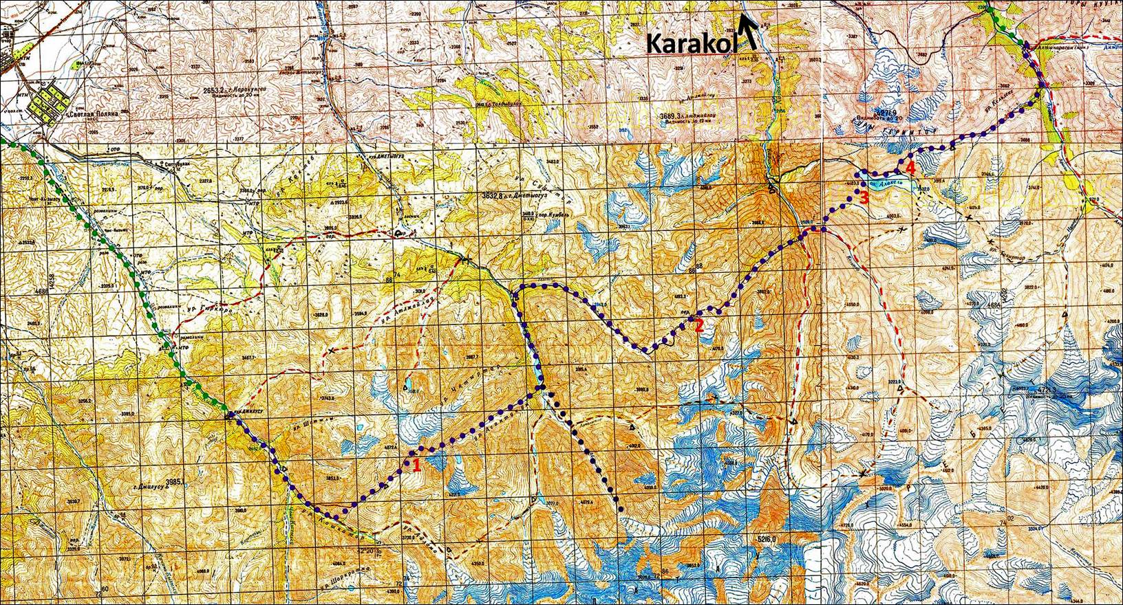
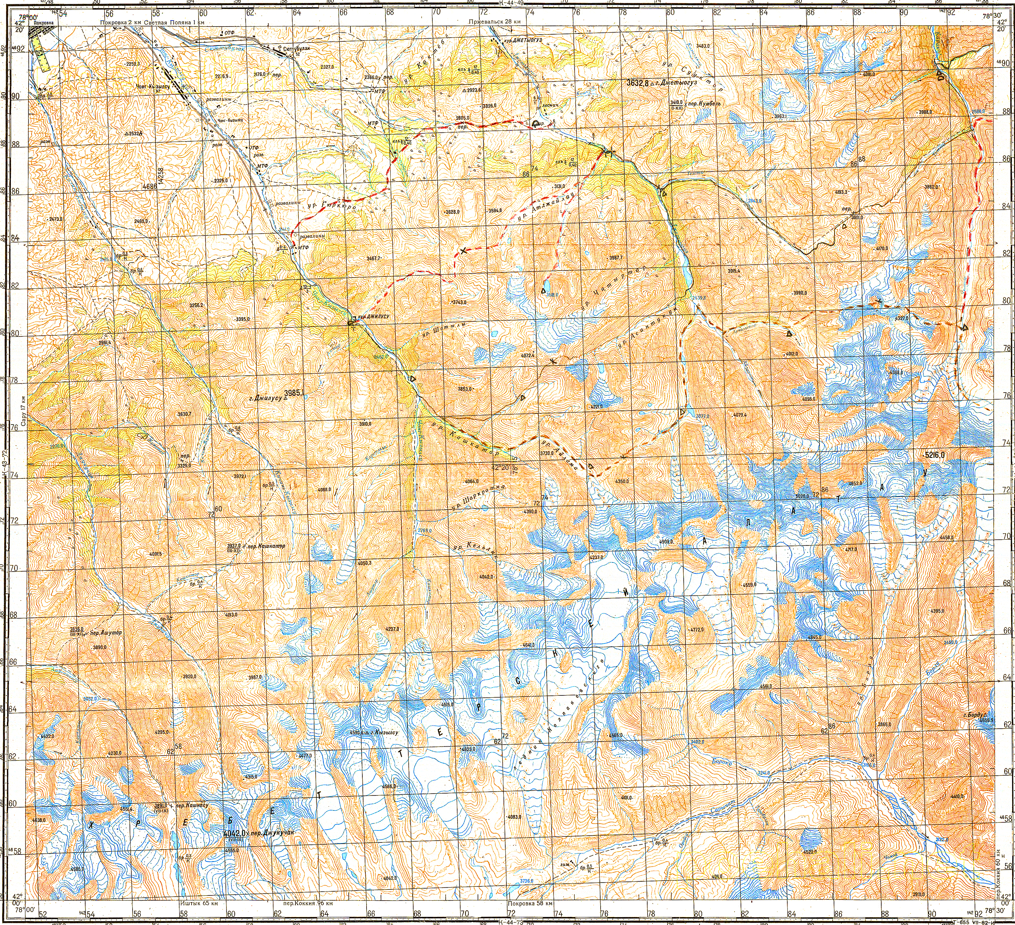
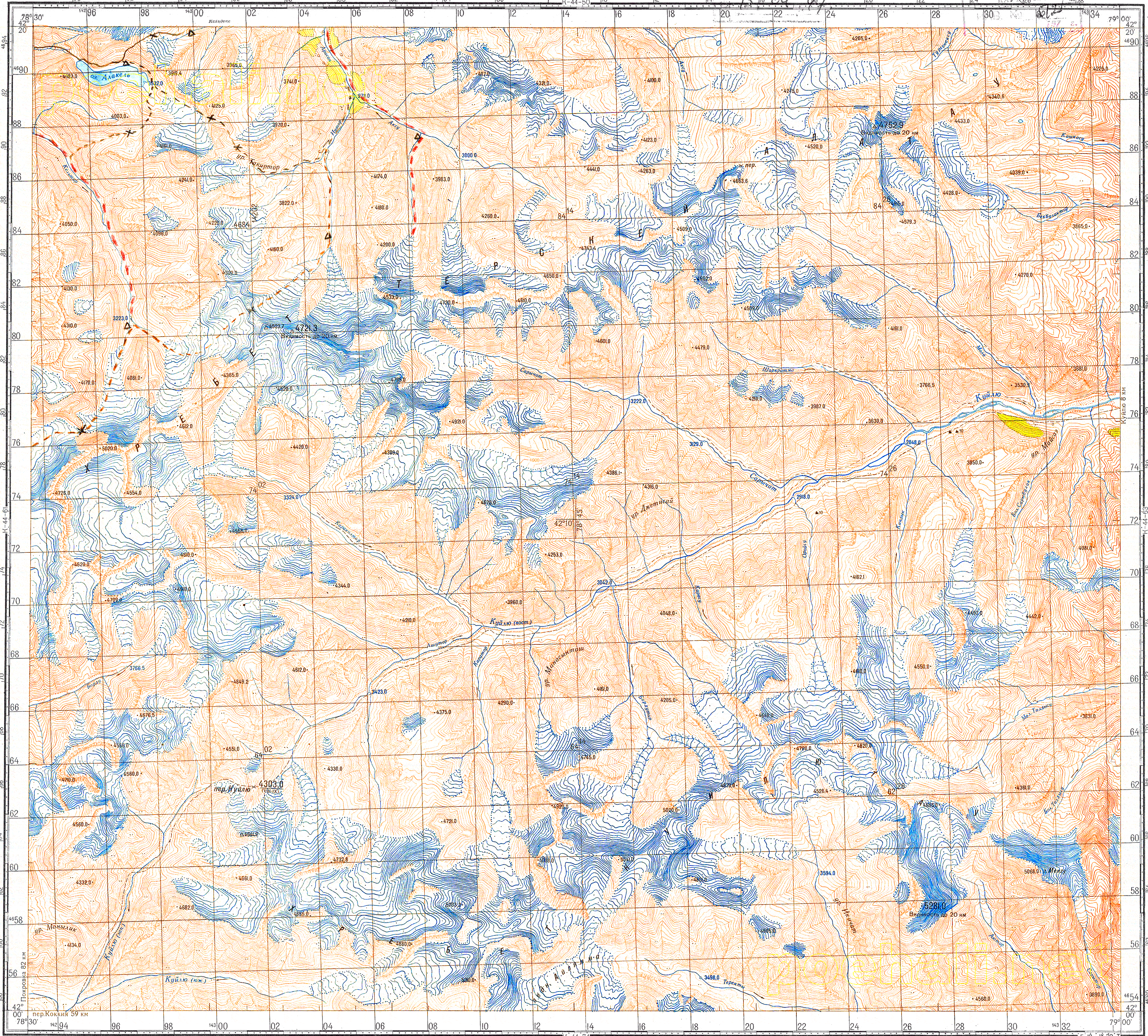
Topographic
map and itinerary: on foot in purple, by car in green. Each square in the map
represents an area of 2x2km. Click here to see the full resolution map.
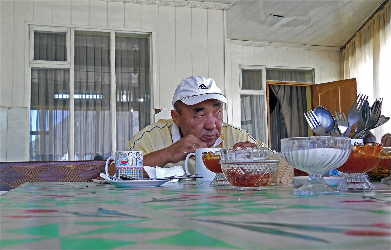
Our driver at
a breakfast stop along the road from Bishkek to Karakol.
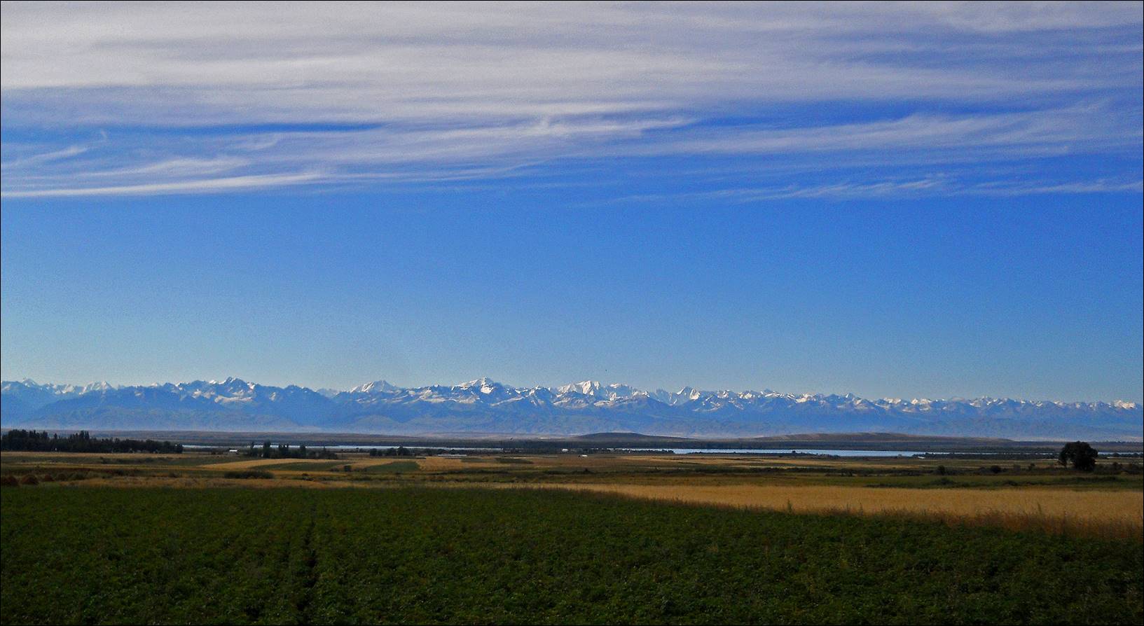
Section of the
Terskey Ala-Too range where we hiked, roughly from
right (west) to left (east). Karakol peak (5218m) is near the center of the picture. I took this photo from
the north shore of the Issyk-Kul lake on our way back
to Bishkek.
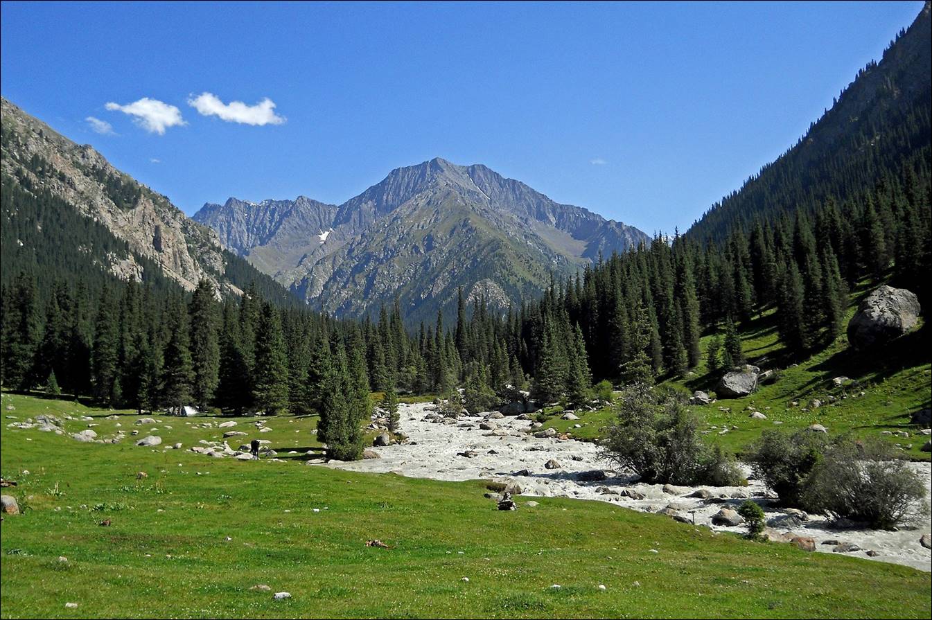
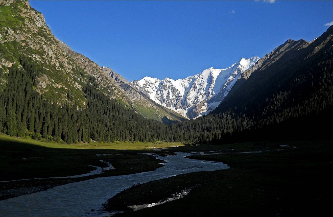
In the valley
of the Chon-Kyzyl-Su river above the Dzhyluu-Su
health ″resort″.
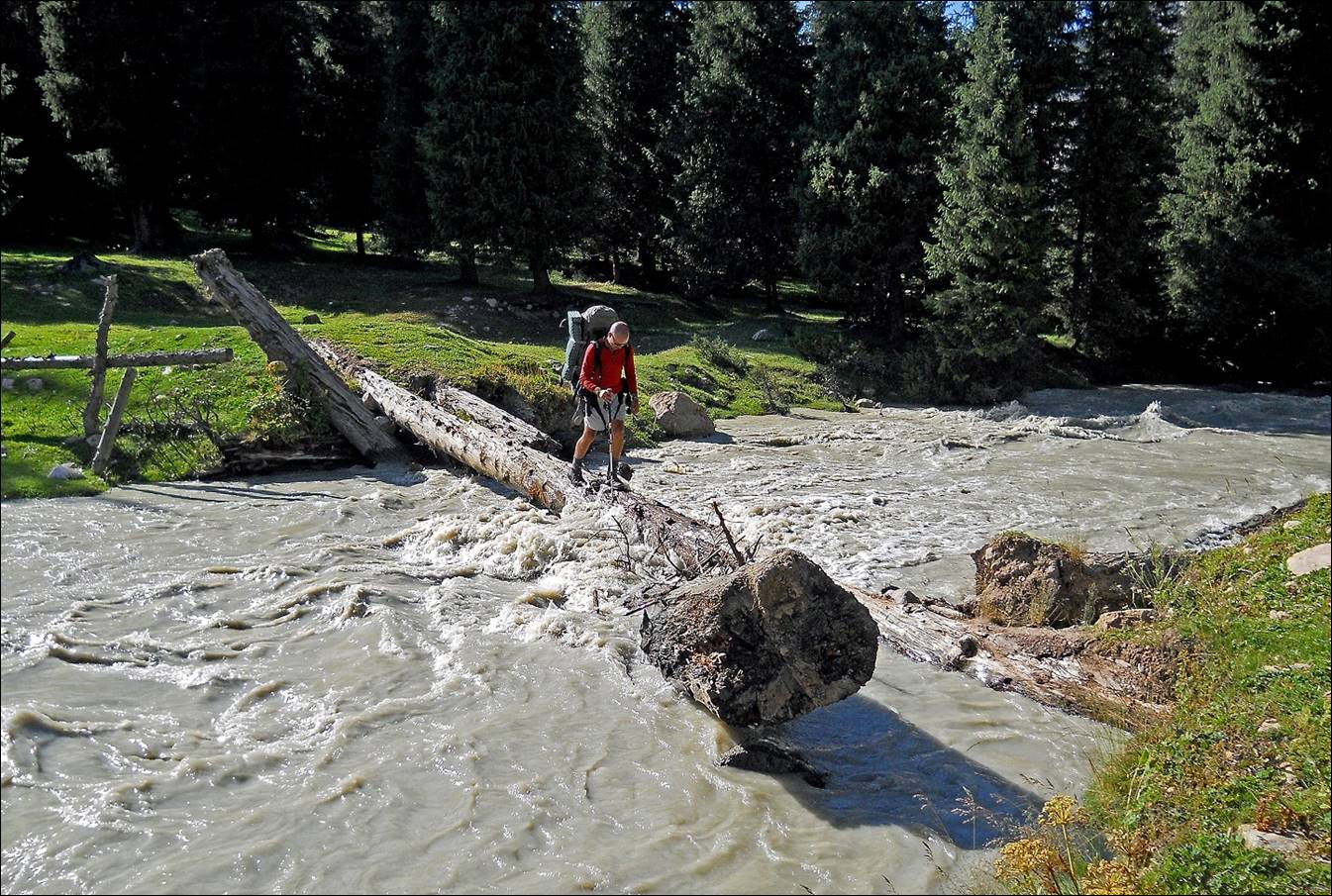
Maksim
crossing Chon-Kyzyl-Su river on a precarious bridge.
Maksim and Slava unpacking to set up our first camp, with a local
horseman watching.
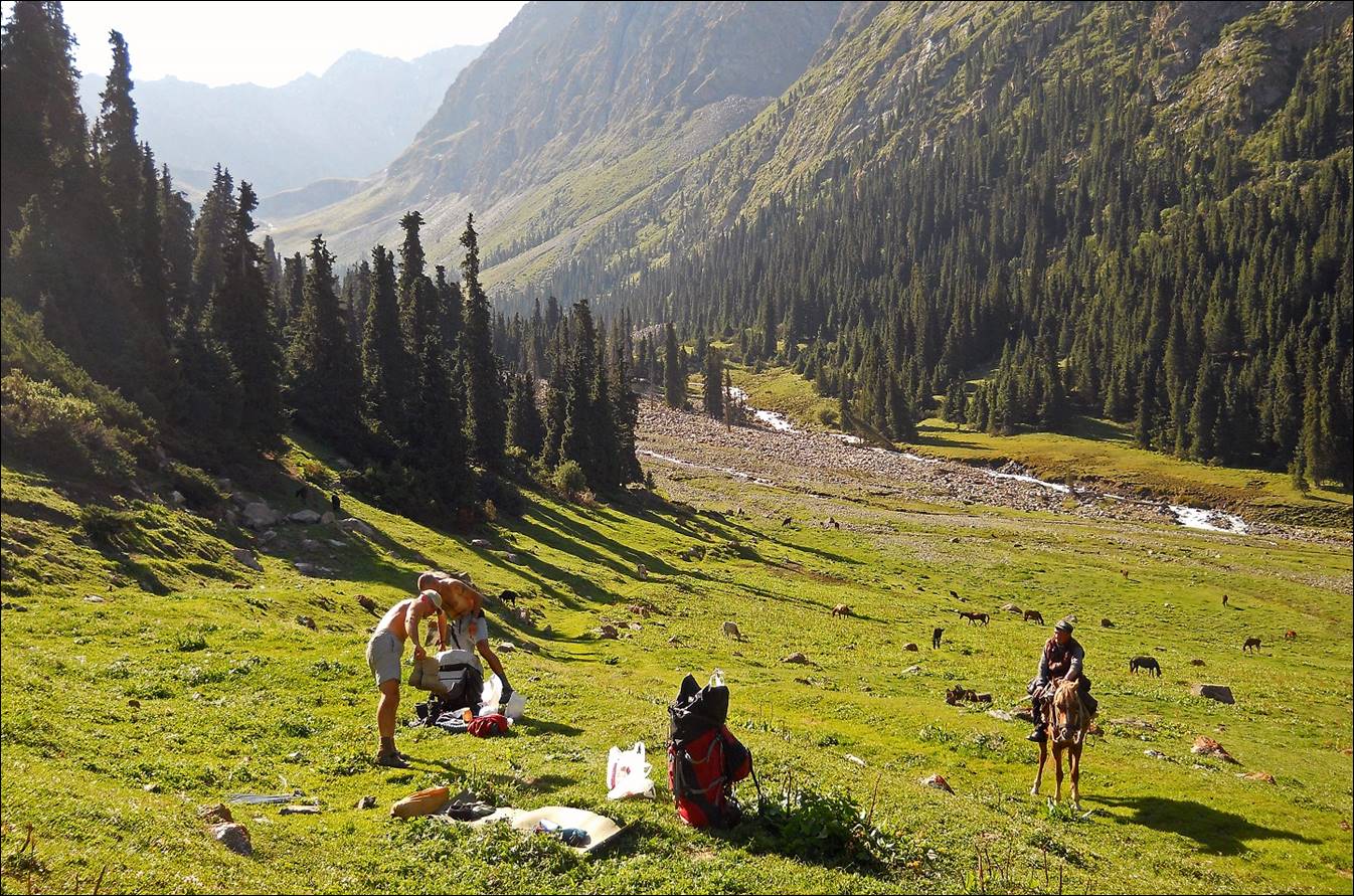
View from our
camp.

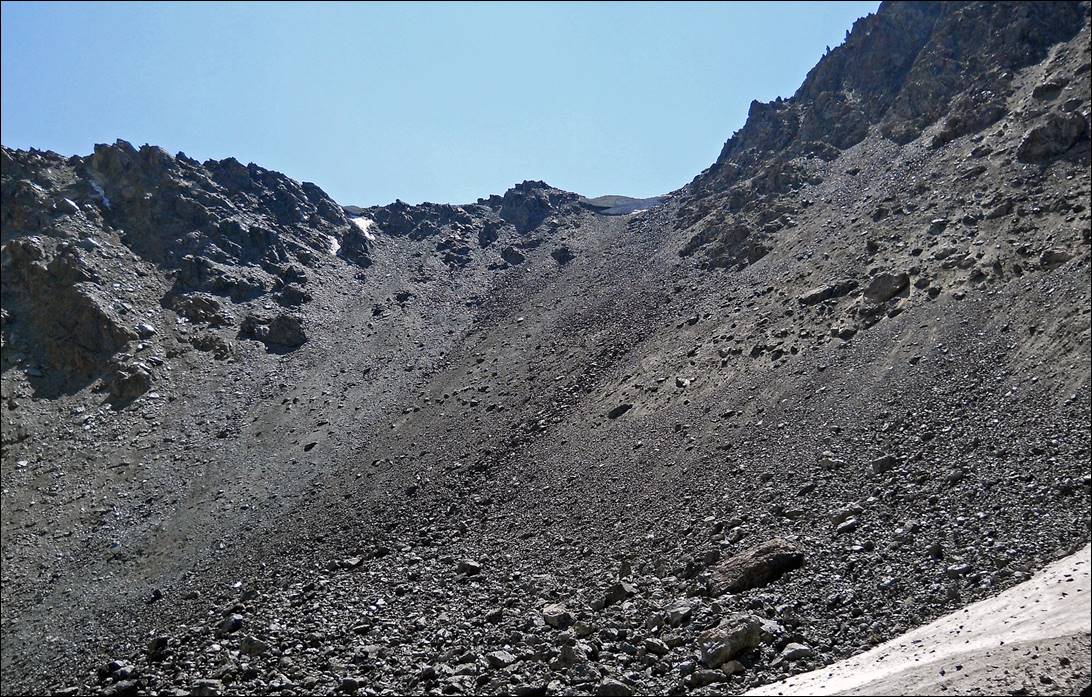
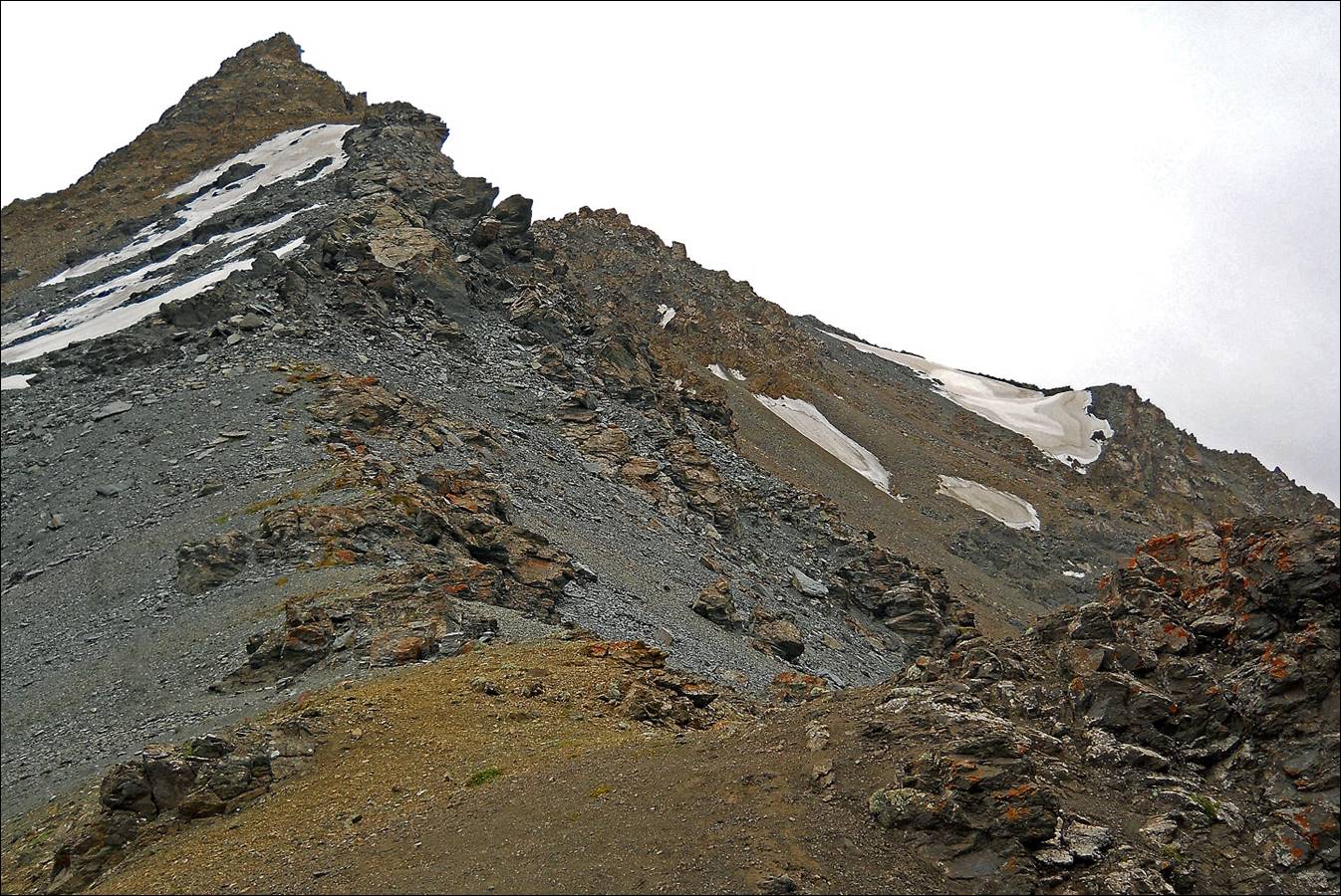
View while
climbing Archa-Ter pass (marked 1 in the map above).
Reaching Archa-Ter pass (~3800m).
|
|
|
Looking back
toward the west from Archa-Ter pass (our ascent path).
Asan-Tukum valley descending toward the east from Archa-Ter pass (our descent route). It is roughly
perpendicular to the valley of the Dzheti-Ogyuz river (at the bottom, not visible).
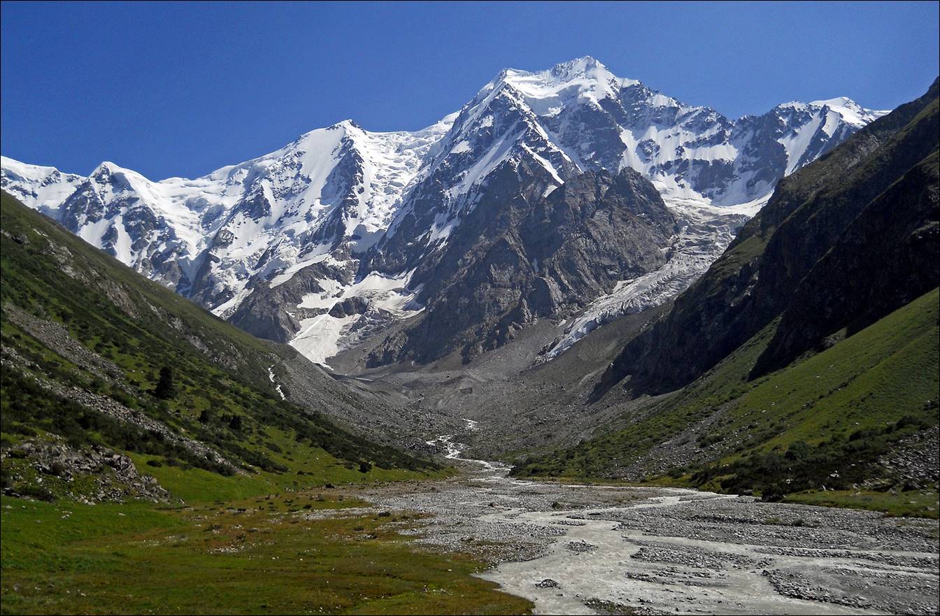
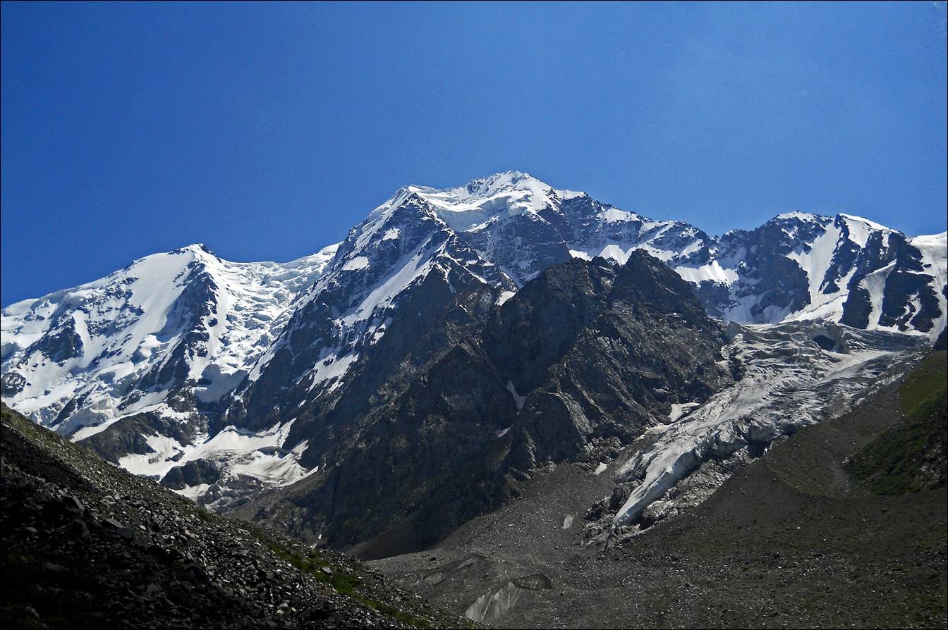
In the valley
of the Dzheti-Ogyuz river.
We did a
one-day side-trip up to the southern end of the Dzheti-Ogyuz
valley. The highest peak here is 5181m high.
View (toward
the north-west) of the valley of the Dzheti-Ogyuz river during our descent.

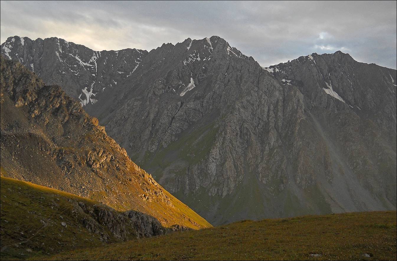
View over
pastures during the ascent of Teleti pass (marked
2 in the map above) from the Dzheti-Ogyuz valley.

Evening light seen
from our campsite below Teleti pass.
Teleti pass (3759m), between the Dzheti-Ogyuz
and Karakol valleys.
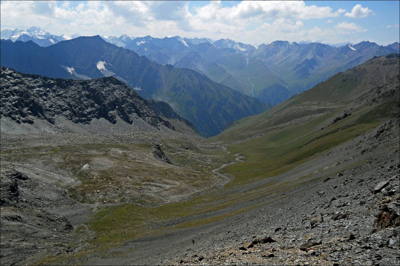
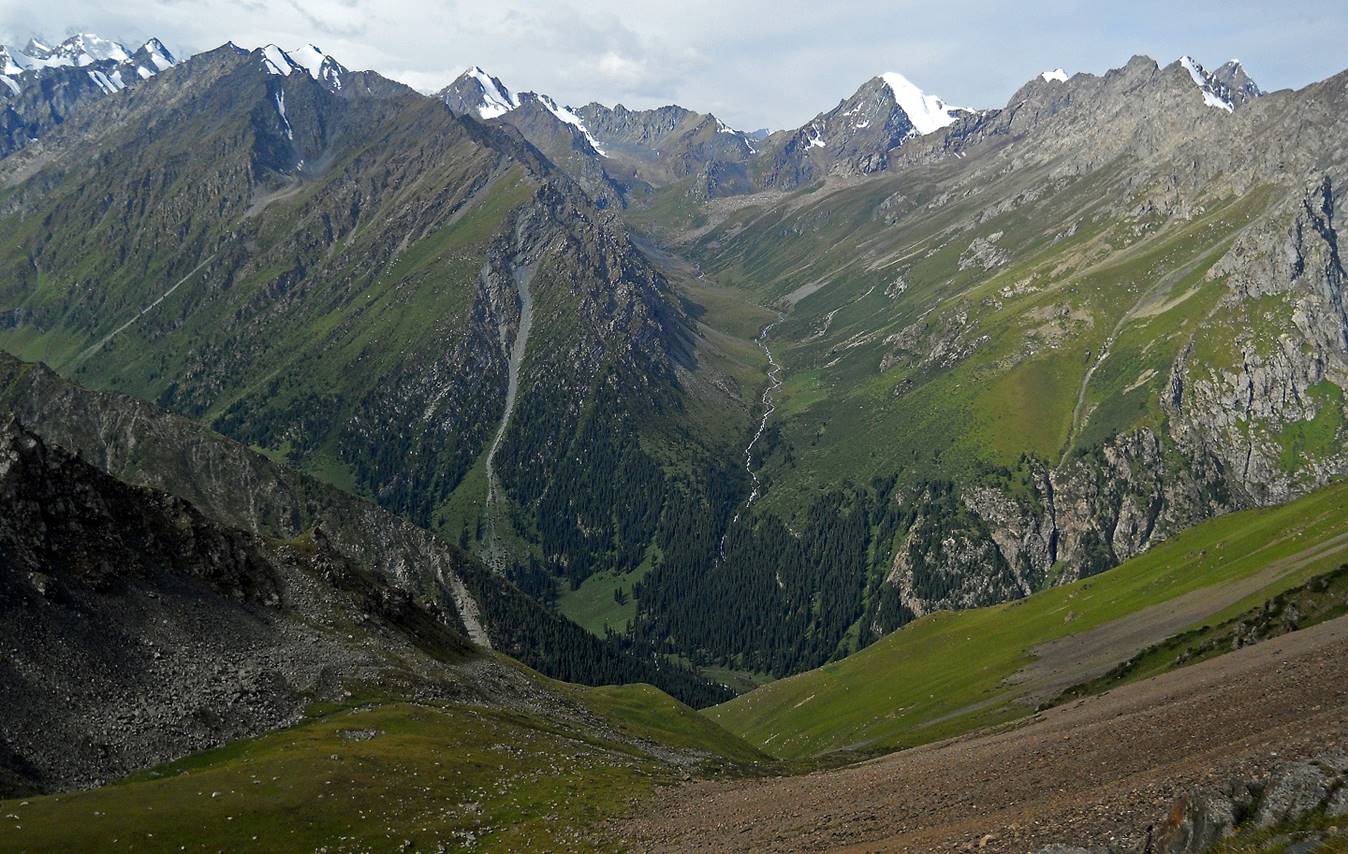
View of the Teleti valley (in the center of the photo), with Teleti pass in the very far background. The Karakol river, which flows from
left to right in the picture, is at the bottom. I took this photo after
crossing Karakol river,
while ascending Panoramic pass (marked 3 in the map above). Panoramic pass lies
between Karakol valley and Ala-Kel
lake.
Sheep and goat
herd seen during the ascent of Panoramic pass.

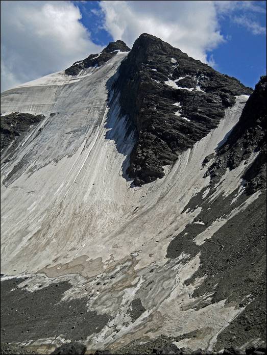
Karakol peak (5218m) seen on our way
to Panoramic pass.

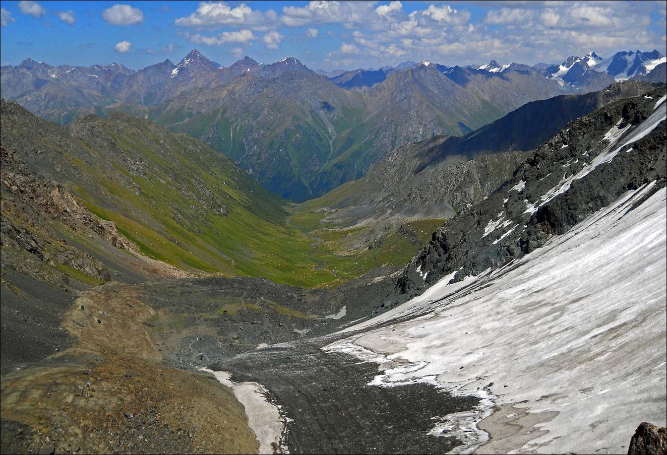
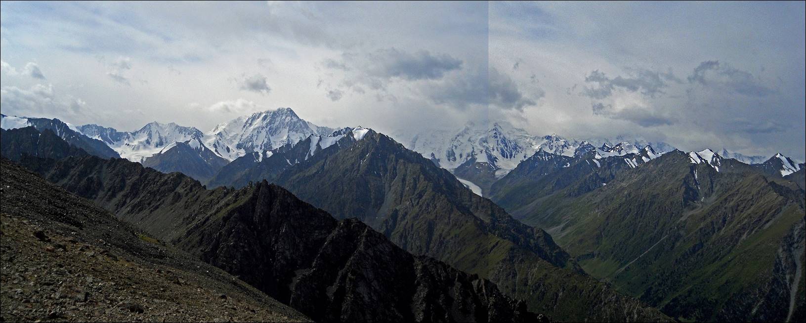
Panoramic view
from Panoramic pass (looking south). Karakol peak is
in the center-left of the photo.
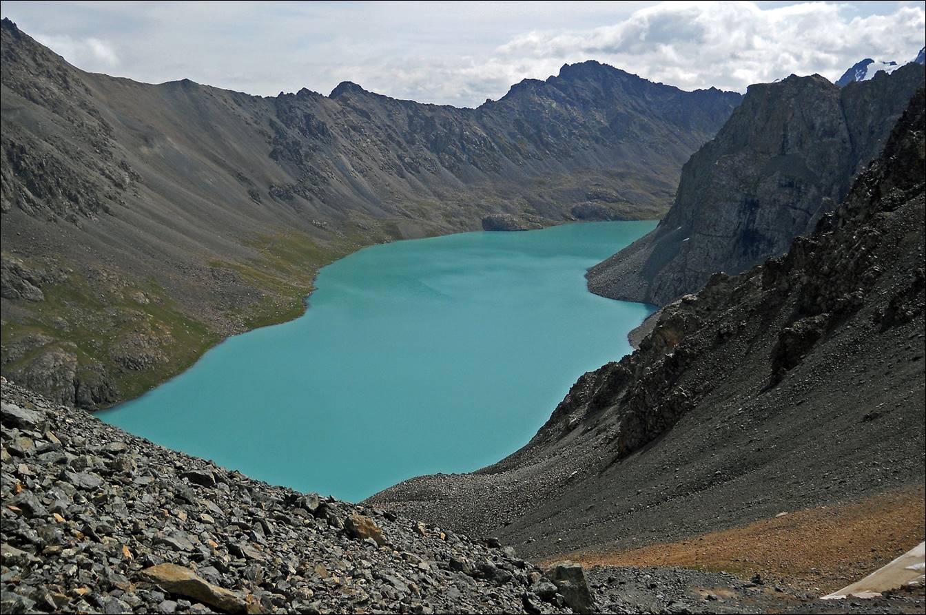
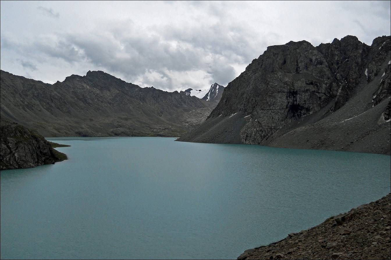
Ala-Kel lake seen from Panoramic pass
(~3700m).
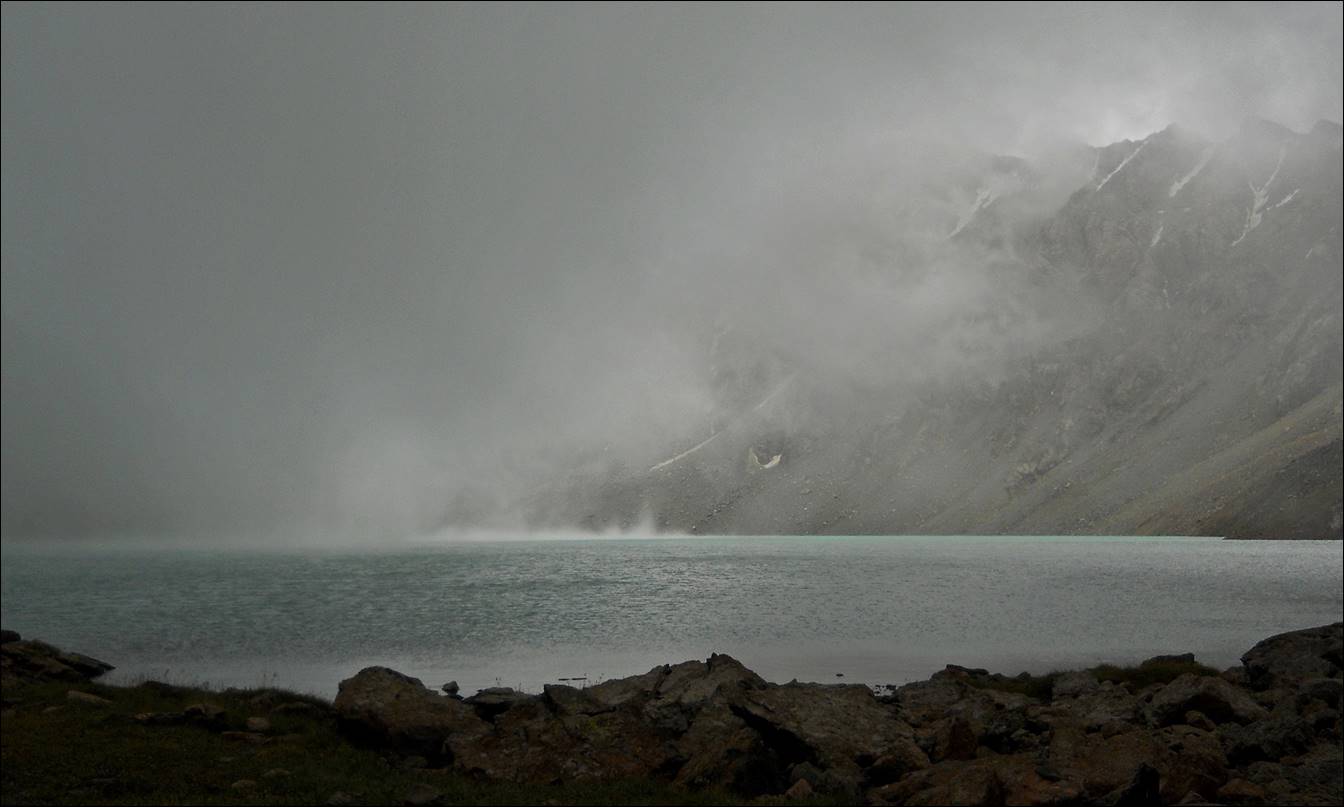
Two views of
Ala-Kel lake, a few minutes
apart, showing how quickly the weather may change in this region.
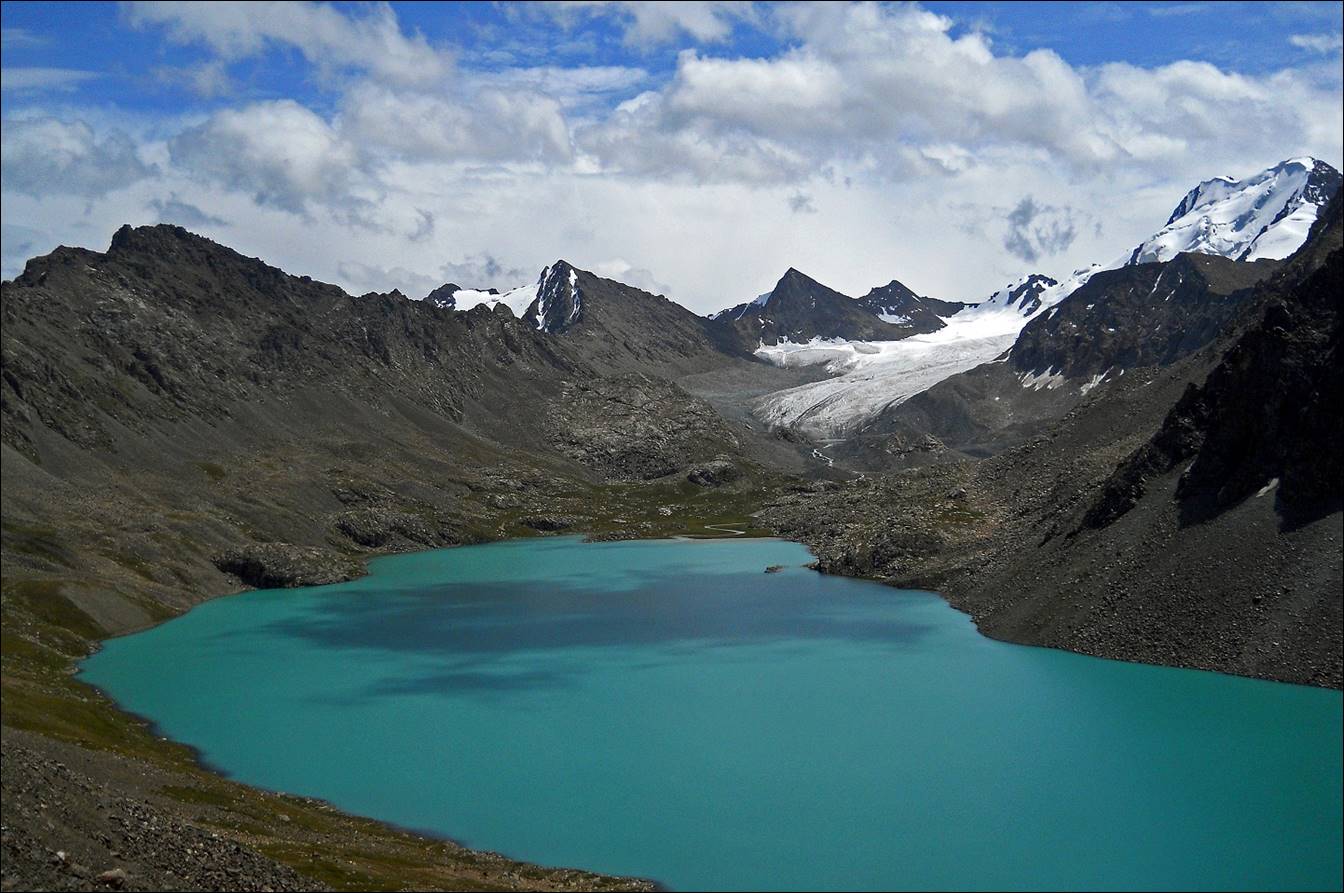
Again two
photos of the lake taken a few minutes apart while ascending Ala-Kel pass (marked 4 on the map above).
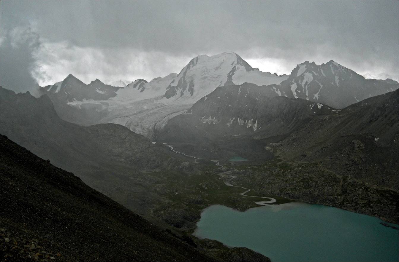
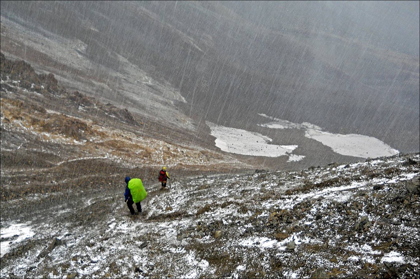
Starting our
descent from Ala-Kel pass (3860m) in sub-optimal
weather.
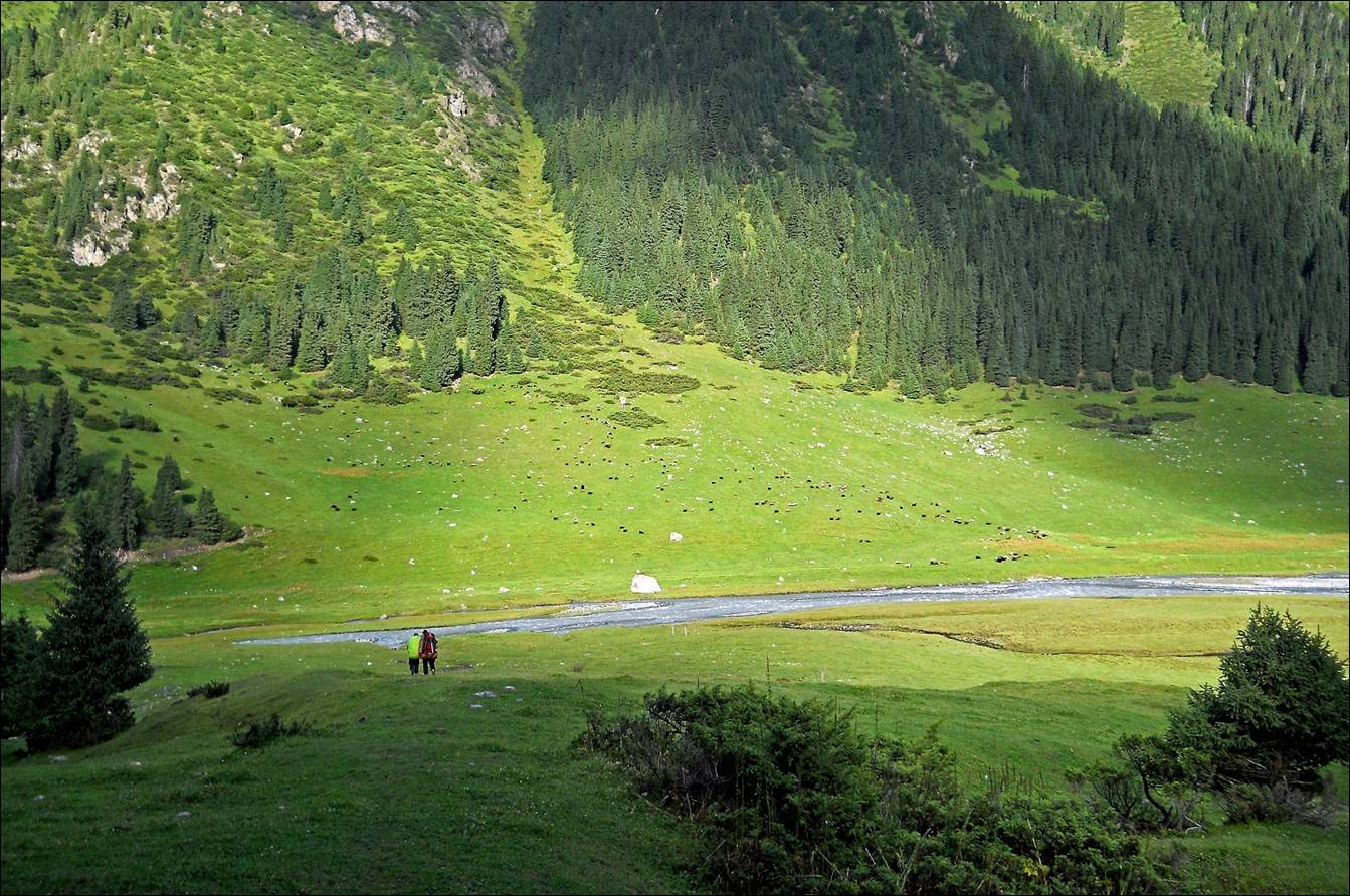
Reaching Arashan river below Ala-Kel pass, with a beautiful late afternoon light.
Trees growing
on rocks near the Altyn-Arashan health ″resort″,
the end of our 8-day trek.

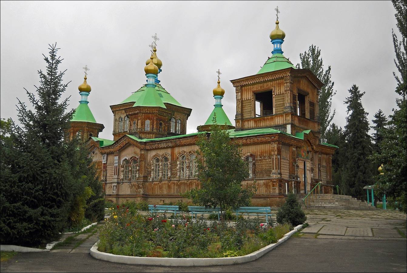
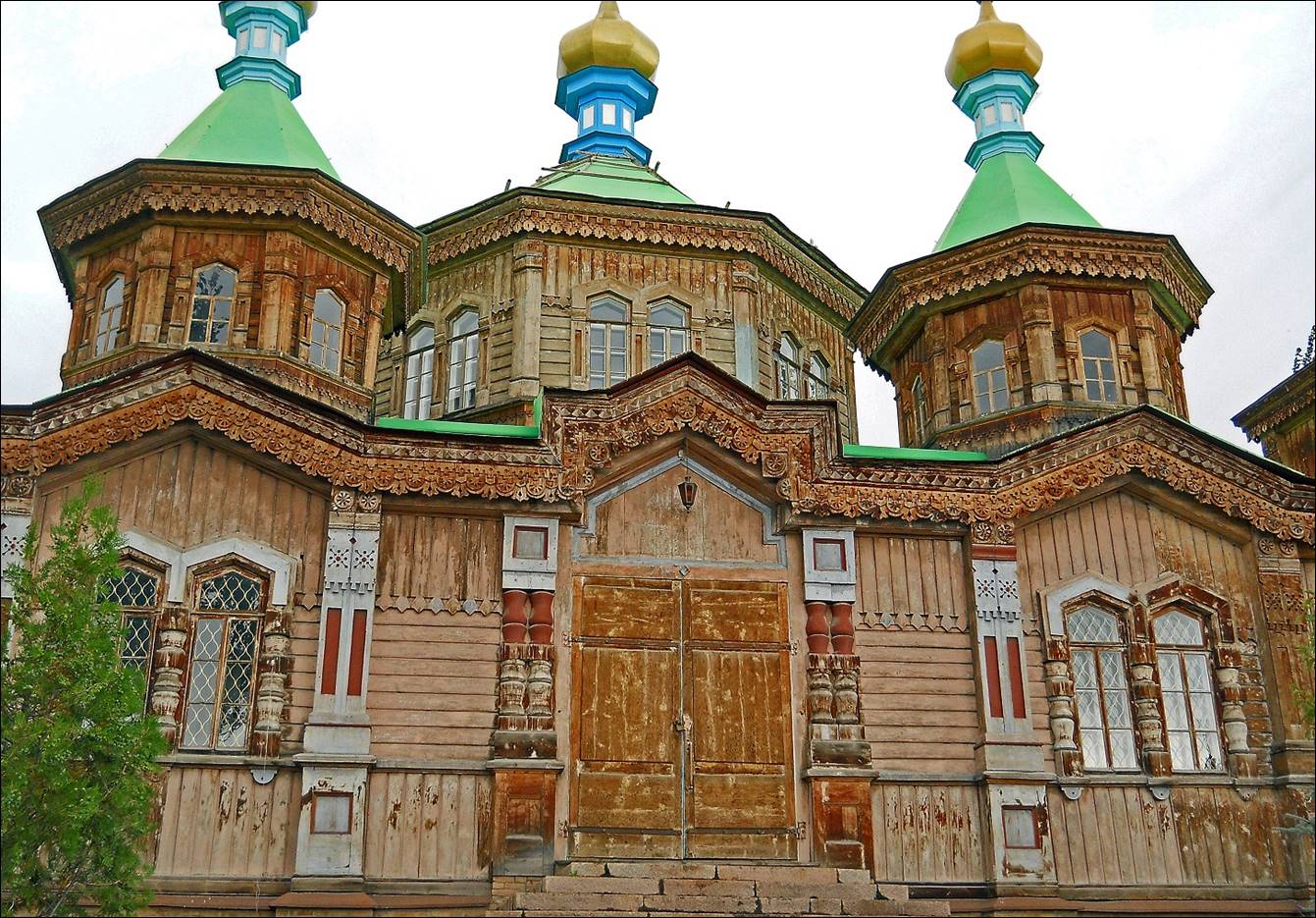
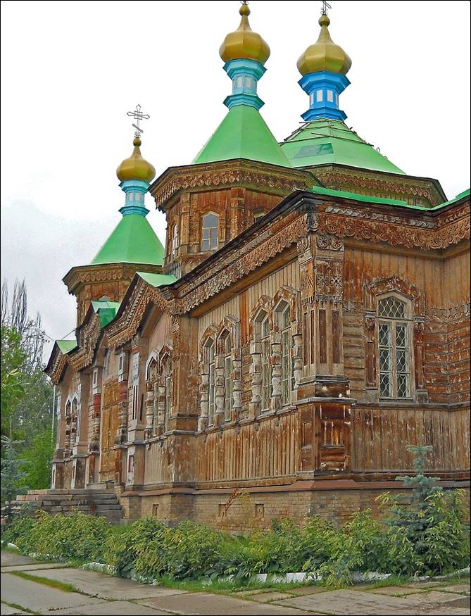
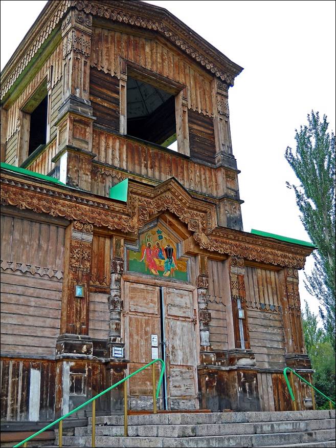
The beautiful
Russian Orthodox Holy Trinity cathedral in Karakol
(completed in 1895).
|
|
|
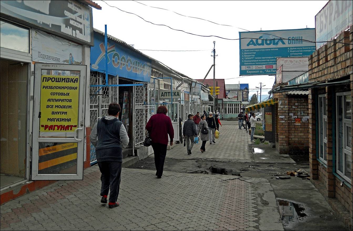
A street in Karakol. The city has an amazing number of pharmacies (аптека).
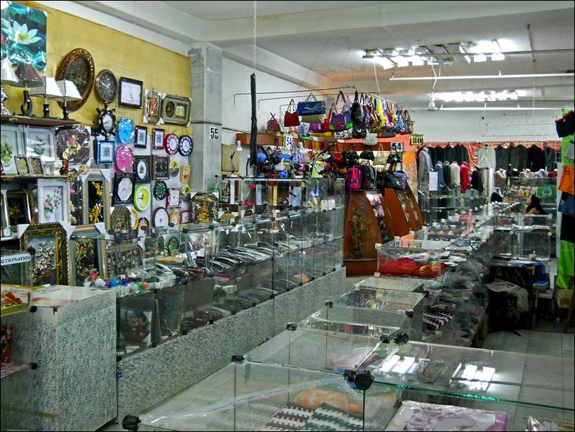
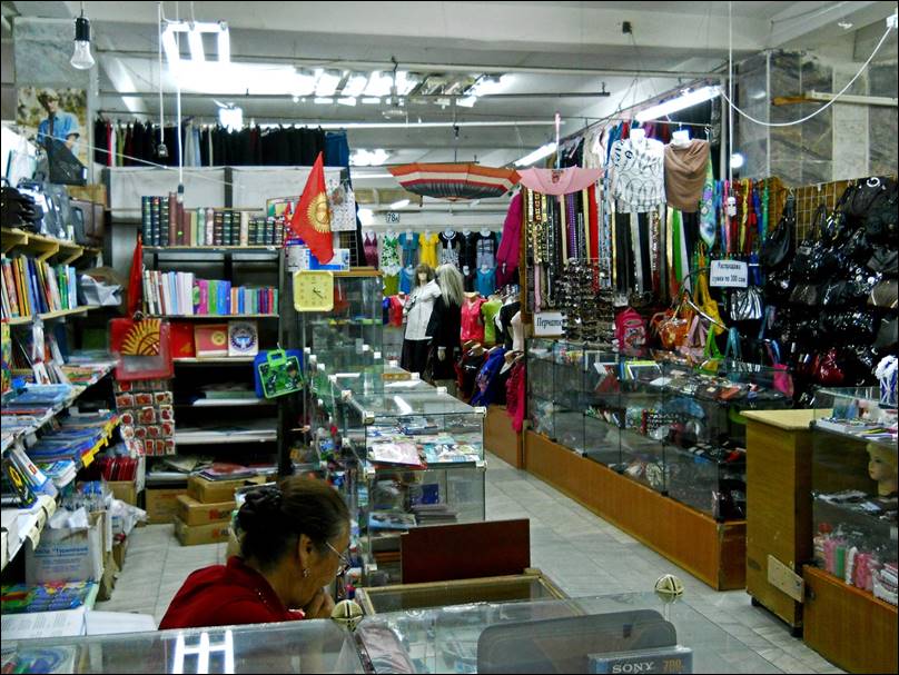
Inside a
shopping mall. Many products, but few customers.
|
|
|
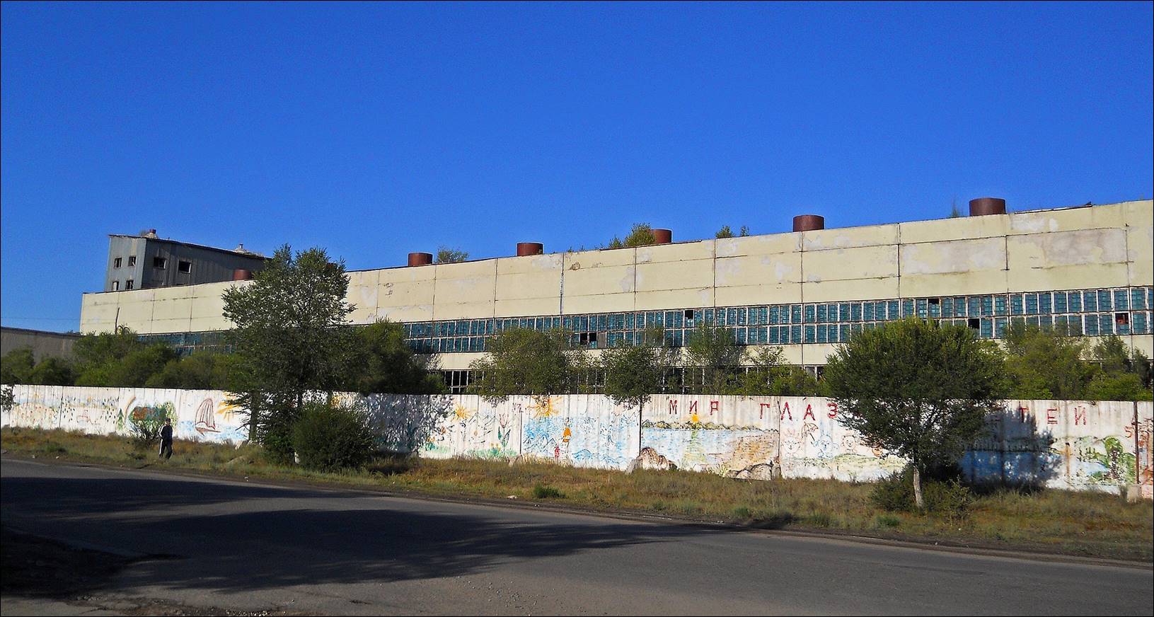
An old soviet
factory seen while leaving Karakol back to Bishkek.
![]()