Traverse of Turkestan range ― South-West Kyrgyzstan (2011)
Leg 1: From Andarak to Sarkat valley and back to Sary-Kyngoy valley (July 9-12)
![]()
We started our trek a few kilometers
south of Andarak, a village located south-west of Isfana at the foot of the
Turkestan range, near the south-western border of Kyrgyzstan with Tajikistan.
Our plan was to cross Maran pass (marked 1.10.18 on the map below), south of
Andarak, to reach the valley of the Sarkat river, then to follow the Sarkat
river eastward, before proceeding further toward Uram pass (1.1.59), also
called Prohodnoy pass (see leg
2). However, we found the upper gorge of the
Sarkat river impassable, at least without very serious rock climbing, for which
we were not equipped. So, we backtracked, crossed back the mountain ridge at
Sarkant pass (1.10.16). In the valley below this pass we found a car to drive
us to the valley of the Sary-Kyngoy river further east. From there our goal was
to reach Uram pass by another itinerary (see leg
2).
Topographic map for leg 1. Click here to see the map at better resolution. (Black vertical lines in
the map are distant by 9.5 km.)

On our way toward Maran
pass.

Ascending Maran pass (3260m), the
first pass of the trip.
View of the valley below the Turkestan
range from Maran pass. Andarak is the dark green area
in the upper middle of the photo.
Maran pass is a smooth, easy pass. Its
climb was a good way for us to both acclimatize and get used to our heavy
backpacks.
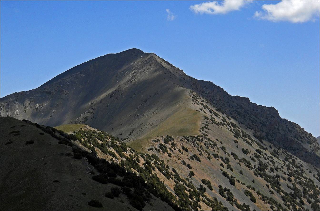
Some high peaks of the Turkestan range
on the Kyrgyz-Tajik border, as seen from Maran pass.
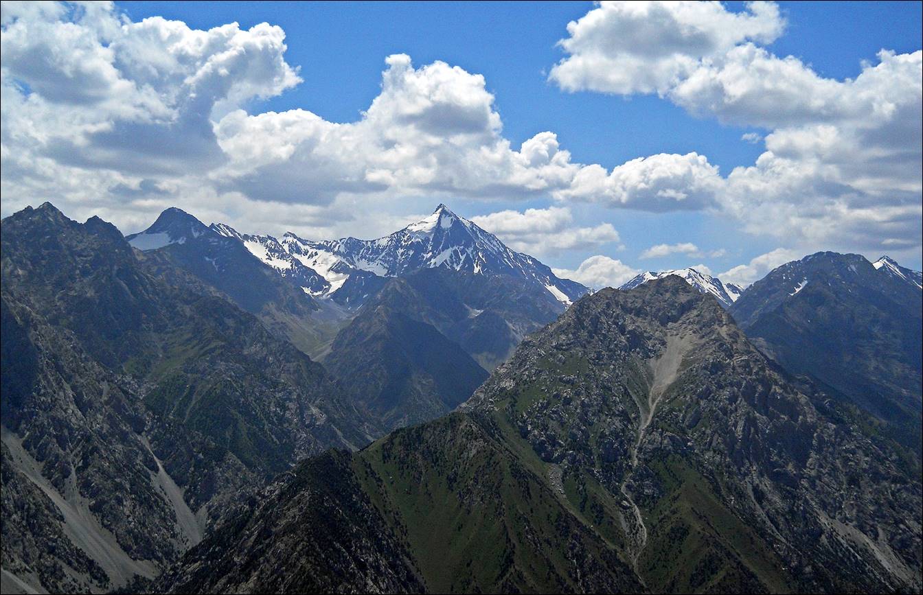
Other peaks.

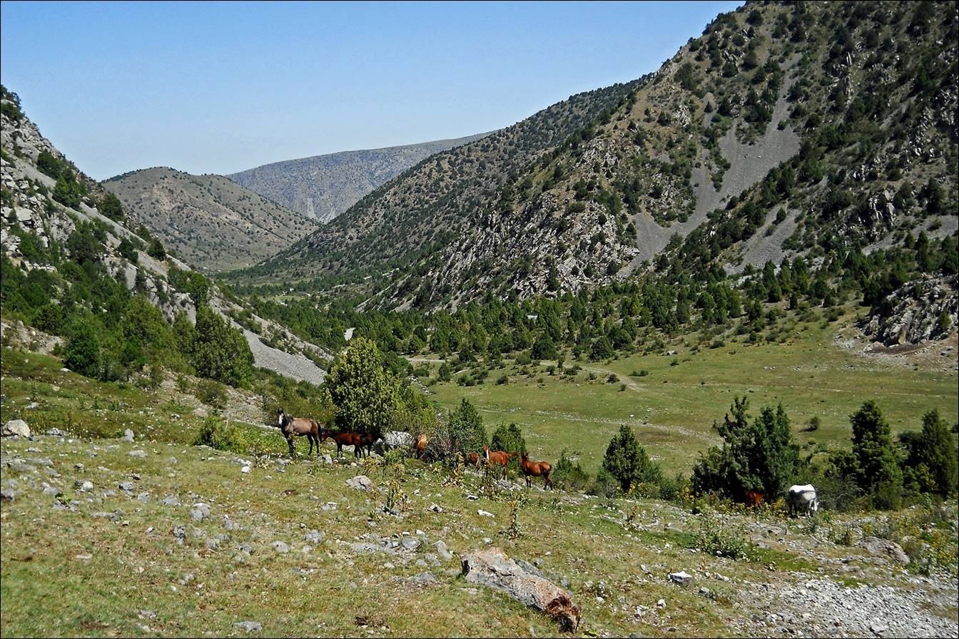
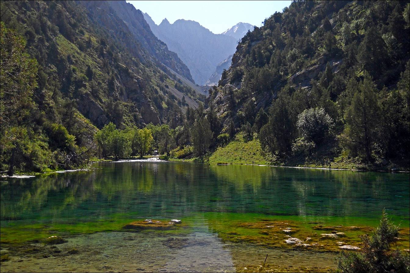
The valley of Sarkat
river (looking toward the east).

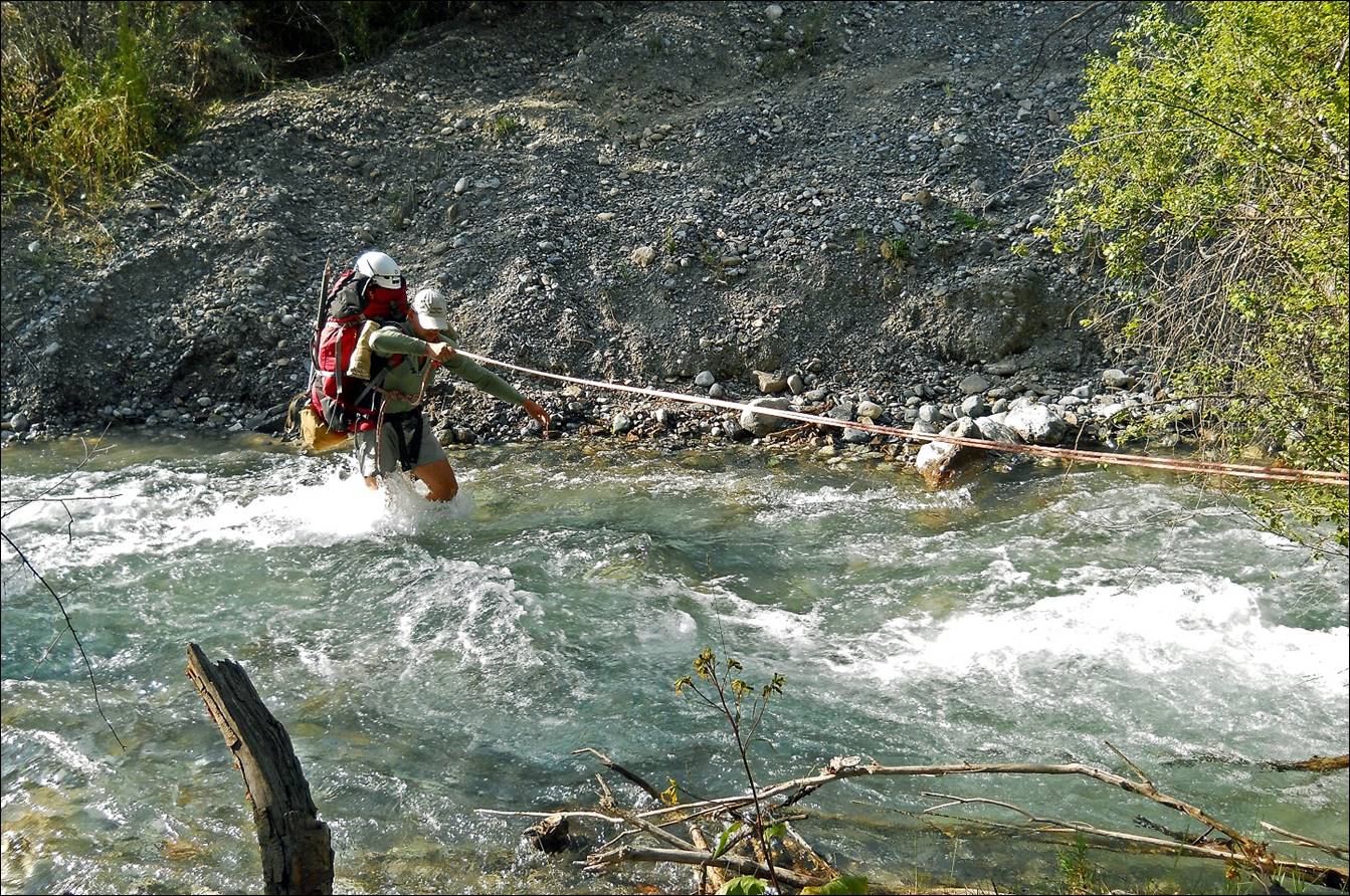
Slava crossing Sarkat river.
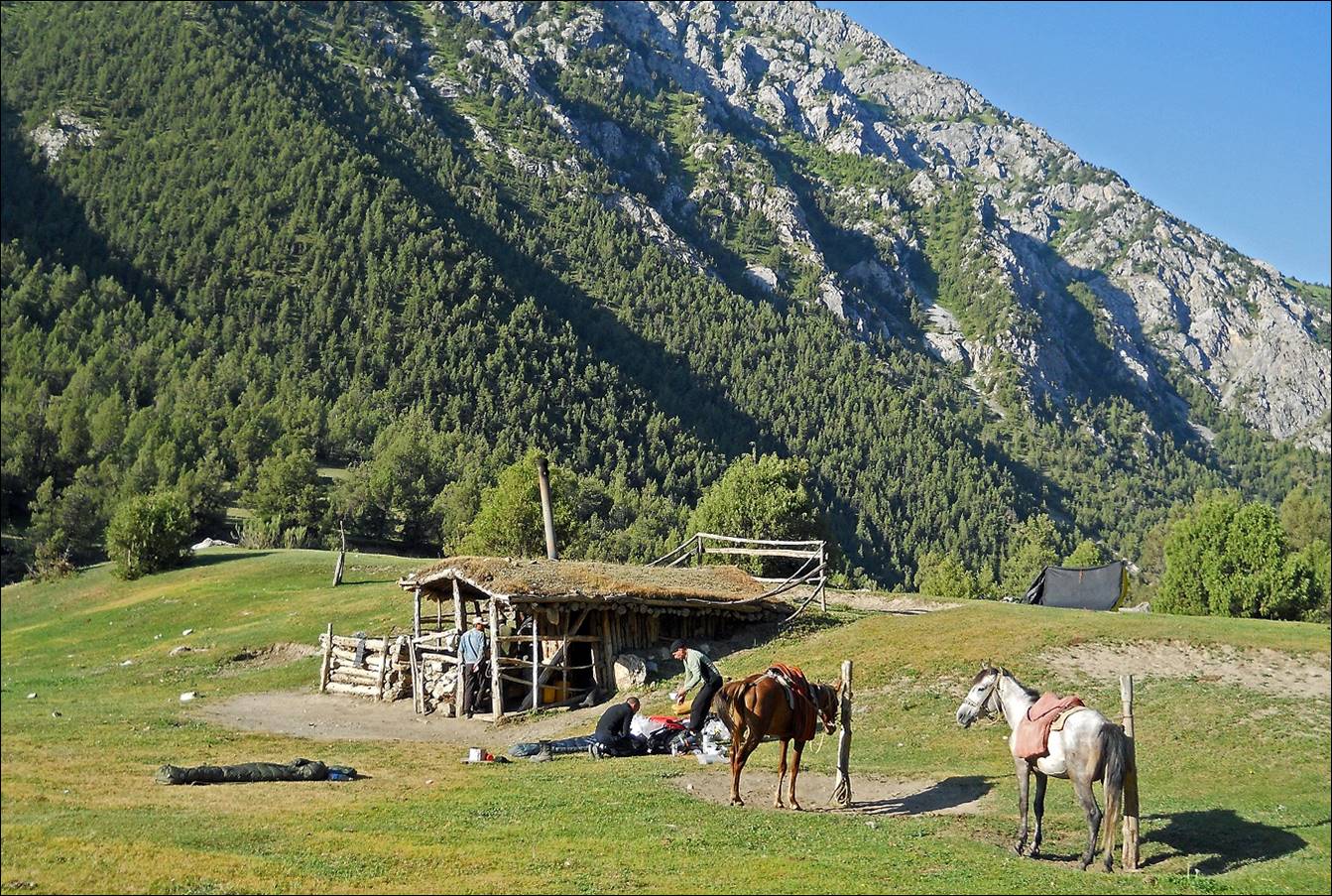
Shepherd′s hut in Sarkat valley. Next photo: me with its resident at that time, Nosirjon, a very nice fellow
who will help us a lot two days later by carrying our backpacks to Sarkant pass
on his horse.

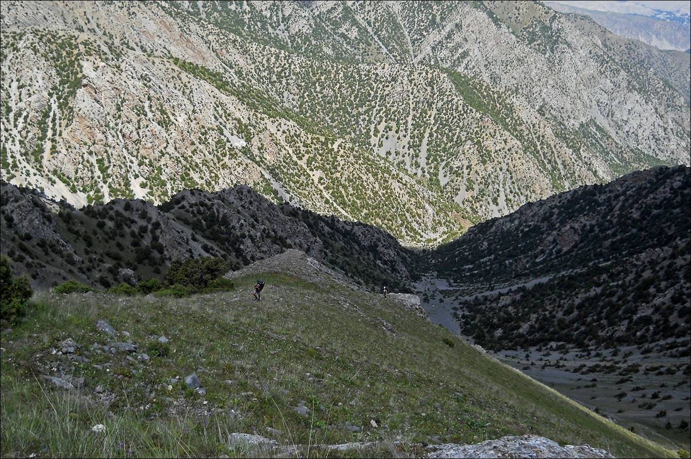
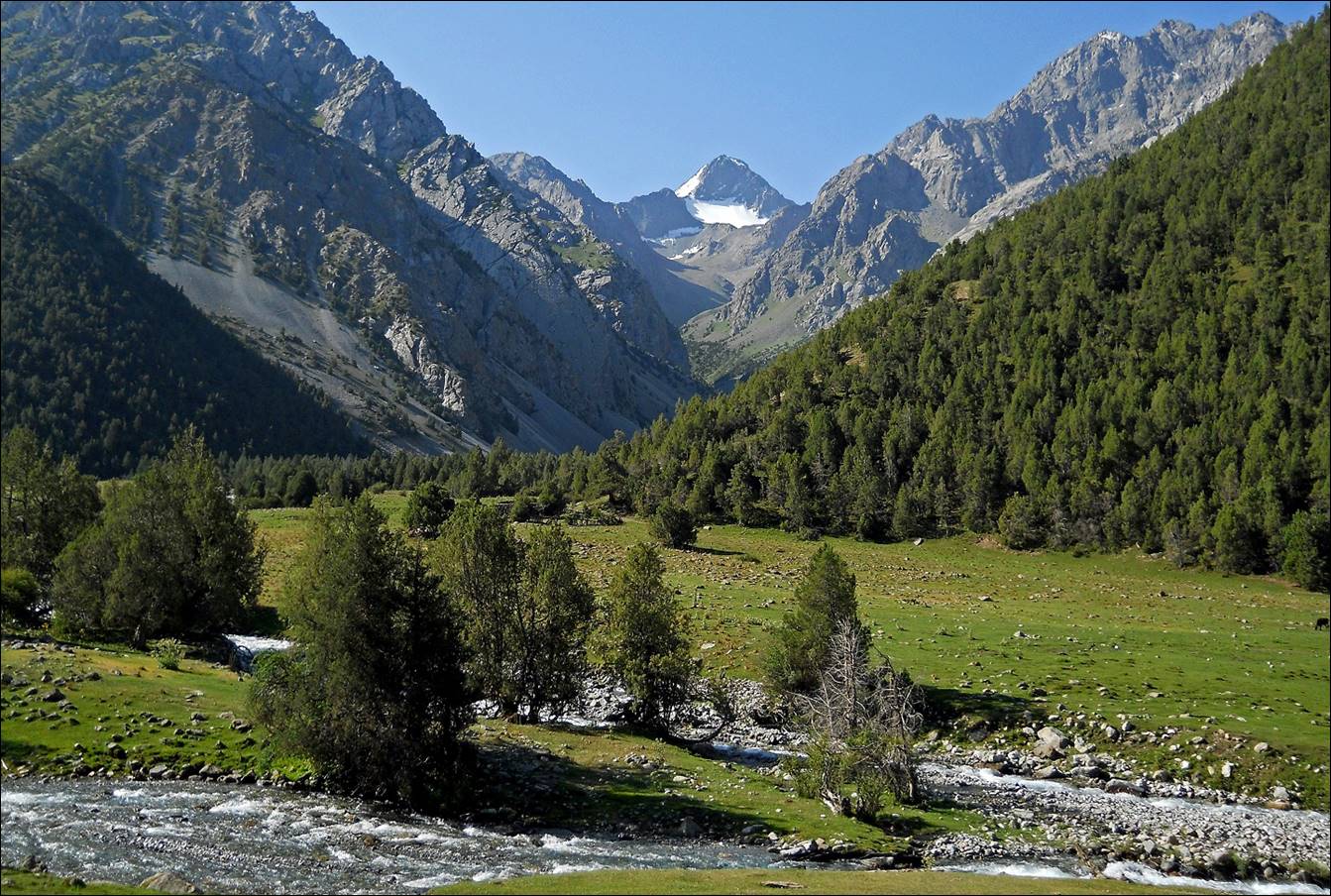
From this hut we moved up (toward the
east) along Sarkat river.
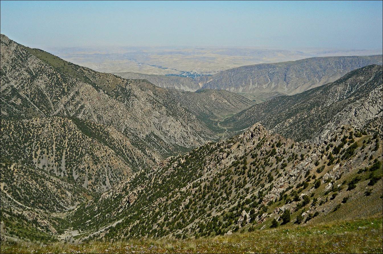
Side valley.
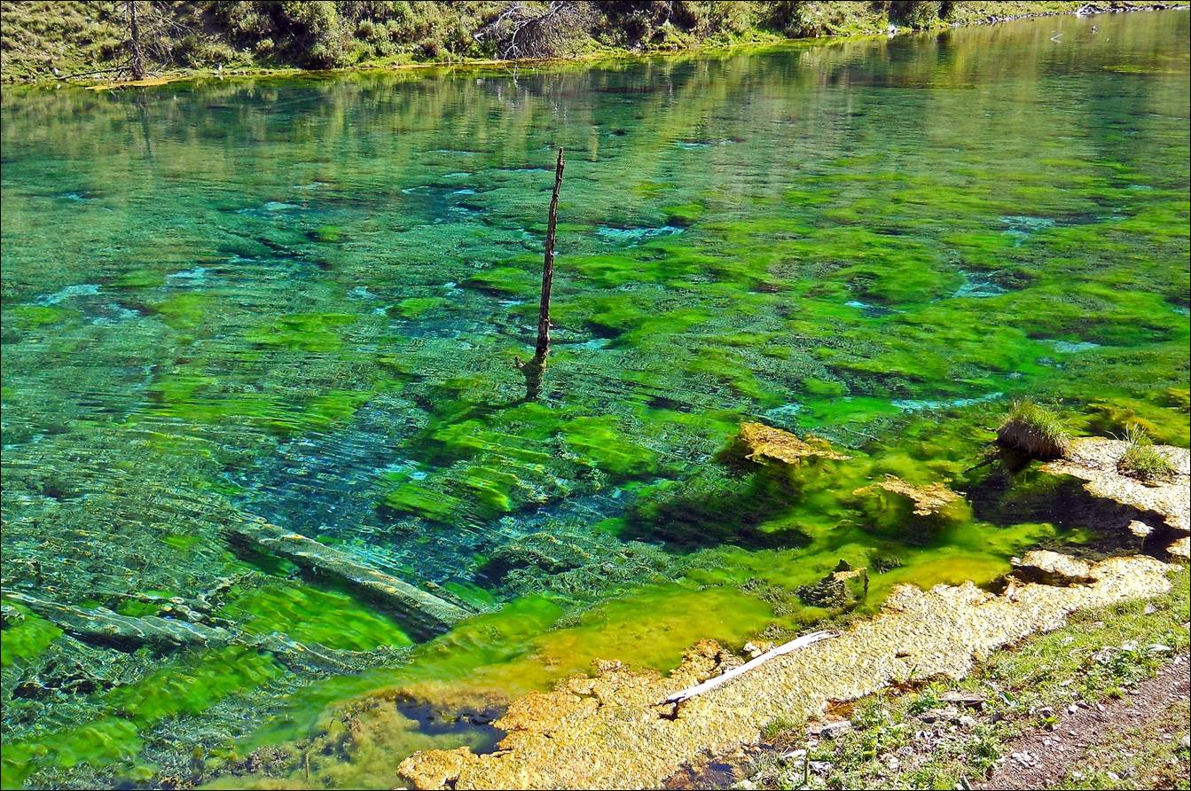
Later we passed by two small lakes, a
green and a blue one. Both have crystal clear water.
The green lake.
The blue lake.

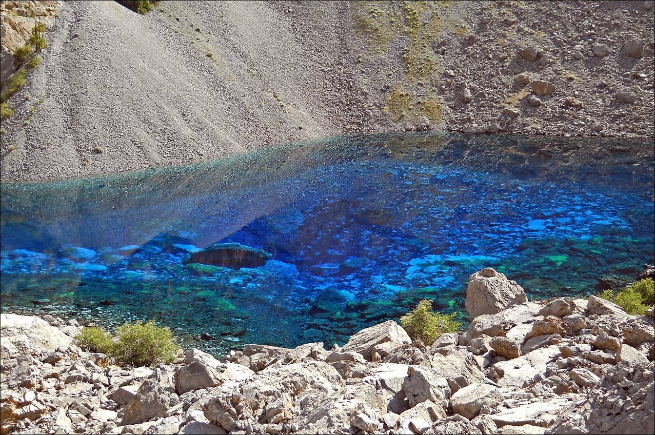
Maksim navigating among the boulders
above the blue lake.
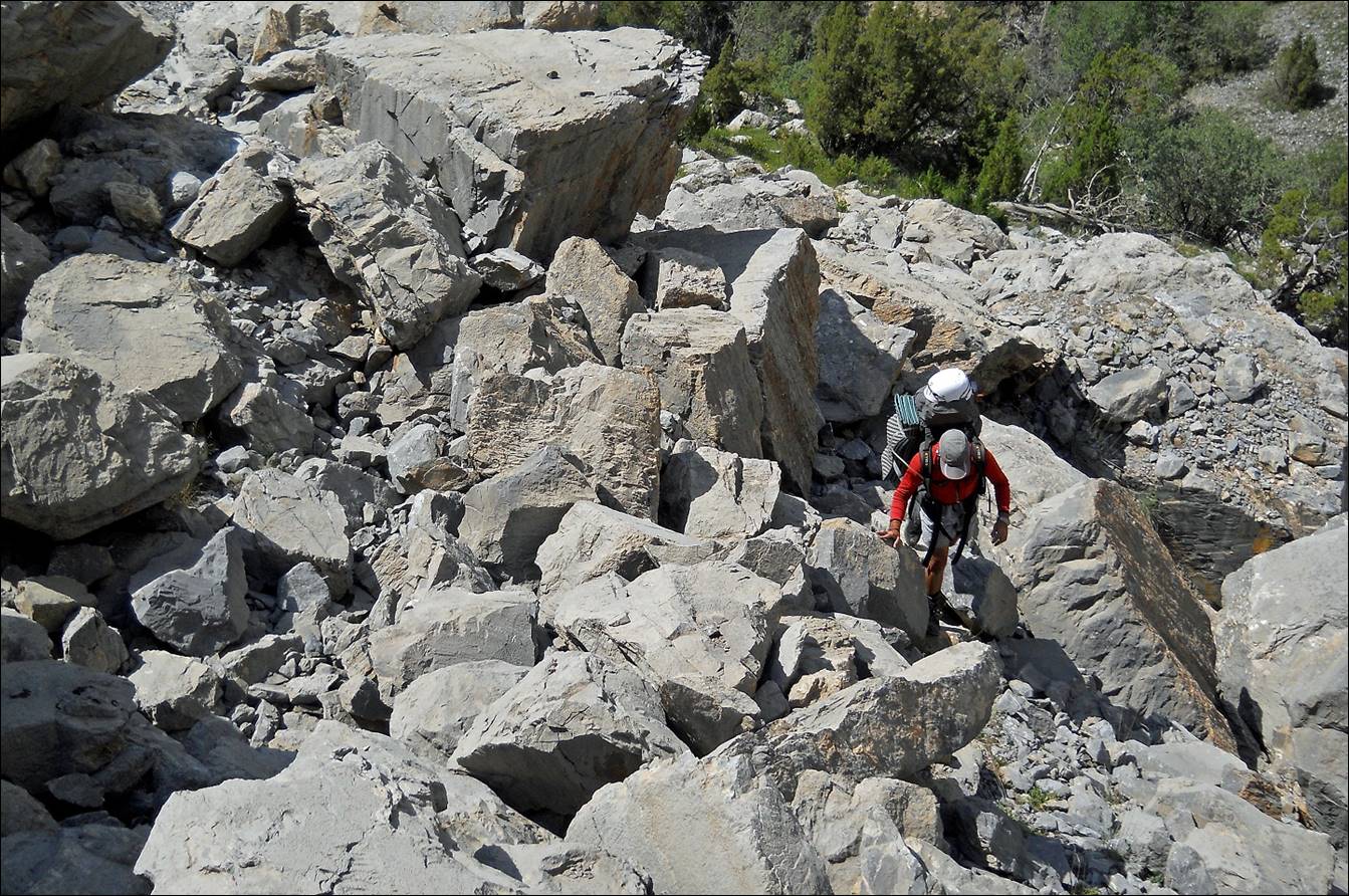
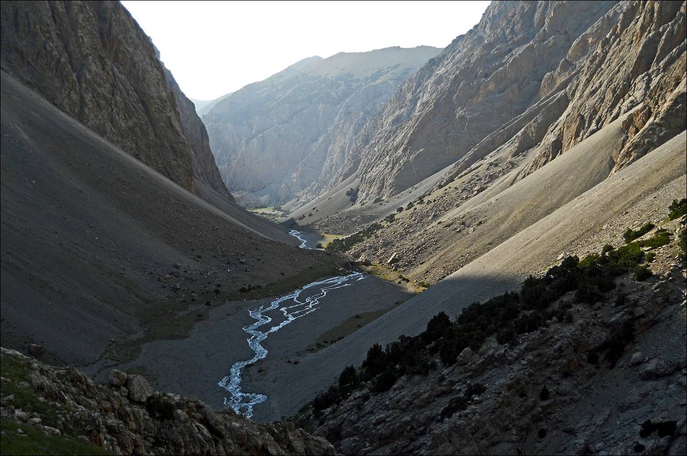
The upper valley of the Sarkat river, just before reaching the ″impassable″
gorge.
![]()