Traverse of Turkestan range ― South-West Kyrgyzstan (2011)
Leg 3: From Aksu valley
to Karasu pass (July 18-20)
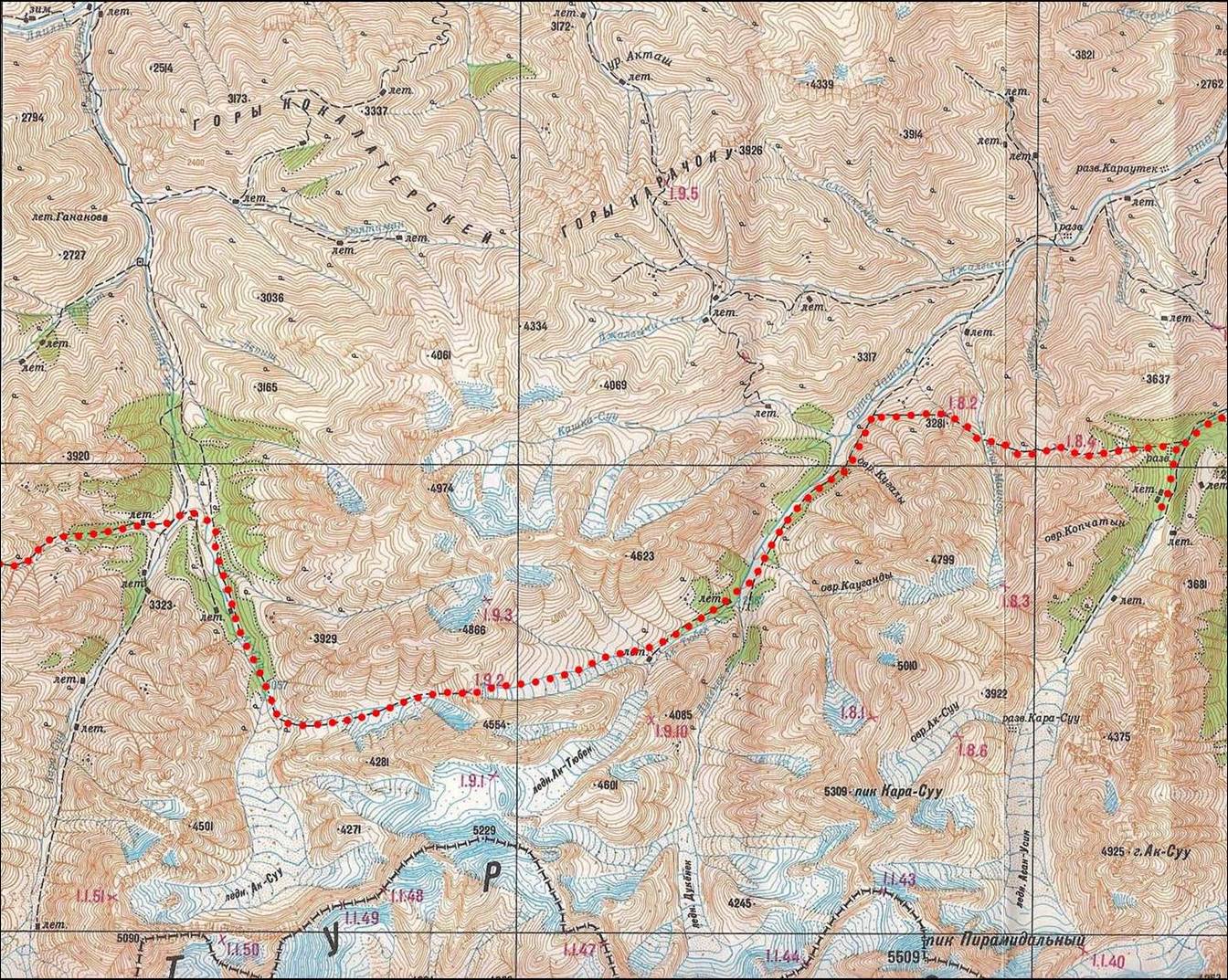
![]()
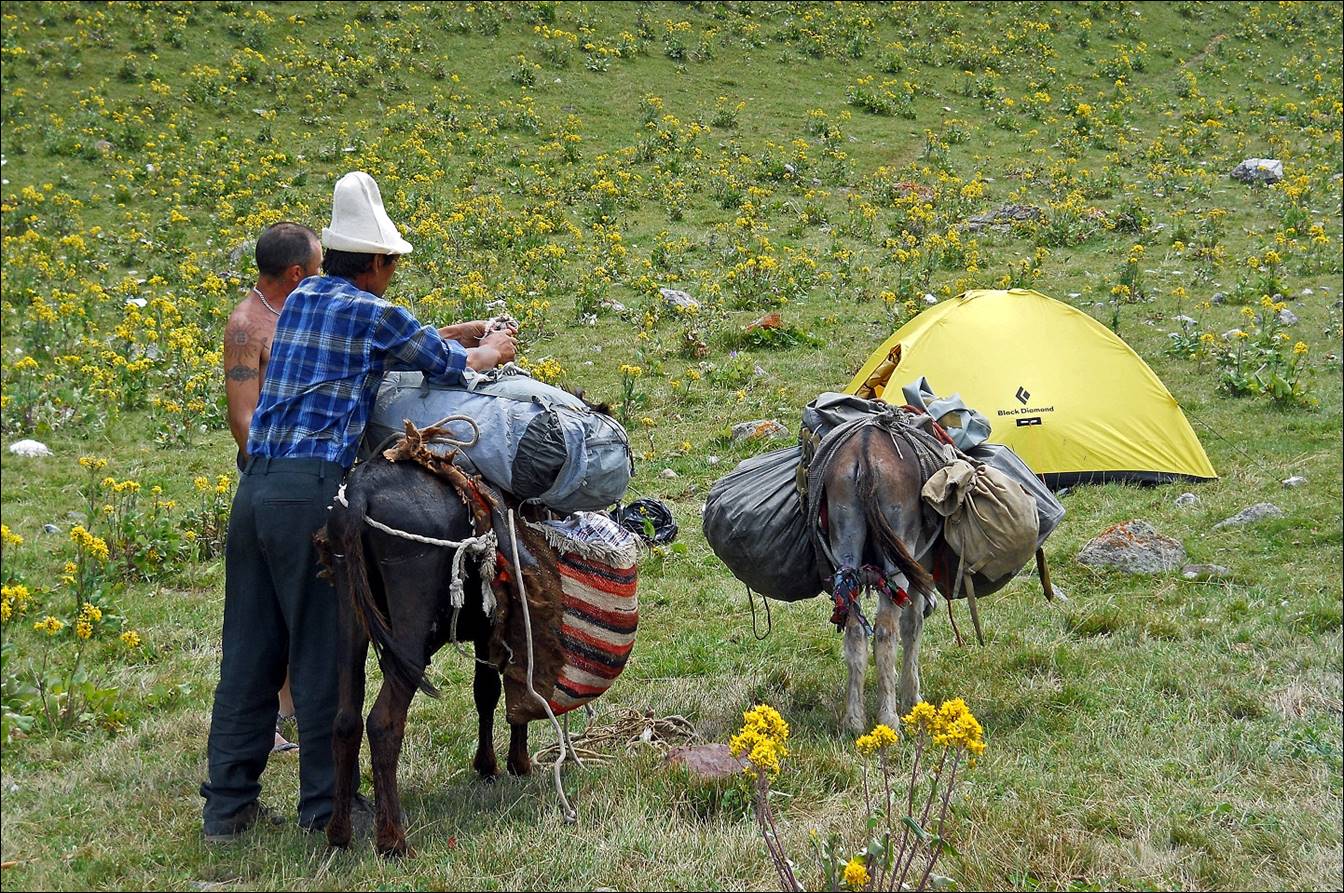
In Aksu valley we had our first delivery of food, including
some fresh apples and tomatoes. We ascended Aktubek
pass (marked 1.9.2 on the map below), descended into the valley of the Rtachashma river, before crossing Kosh-Maynok and Karasu passes
(1.8.2 and 1.8.4, respectively), which lead into the Karasu
valley (Karavshin area). I had already done this
beautiful portion of the trip in 2004.
Topographic
map for leg 3. Click here to see the map at better resolution. (Black vertical lines in
the map are distant by 9.5 km.)
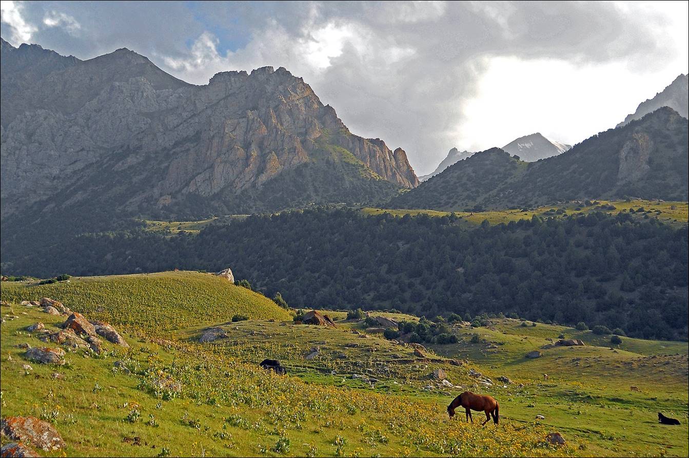
In Aksu valley.
First food
delivery. The delivery was made by Nuredin (in blue
shirt, with traditional Kyrgyz hat), from Uzgarish
village, the same horseman with whom I had travelled in 2004!
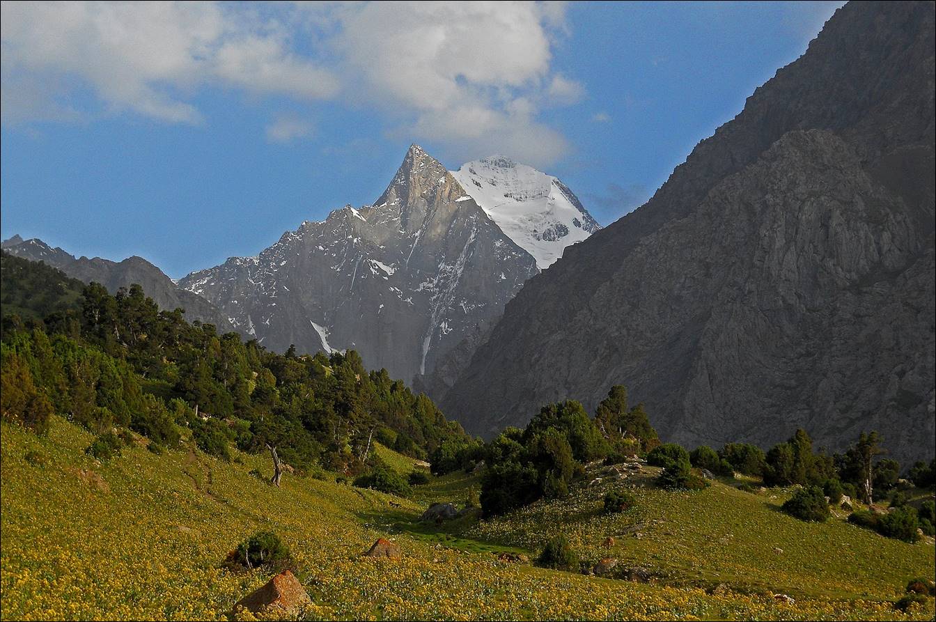
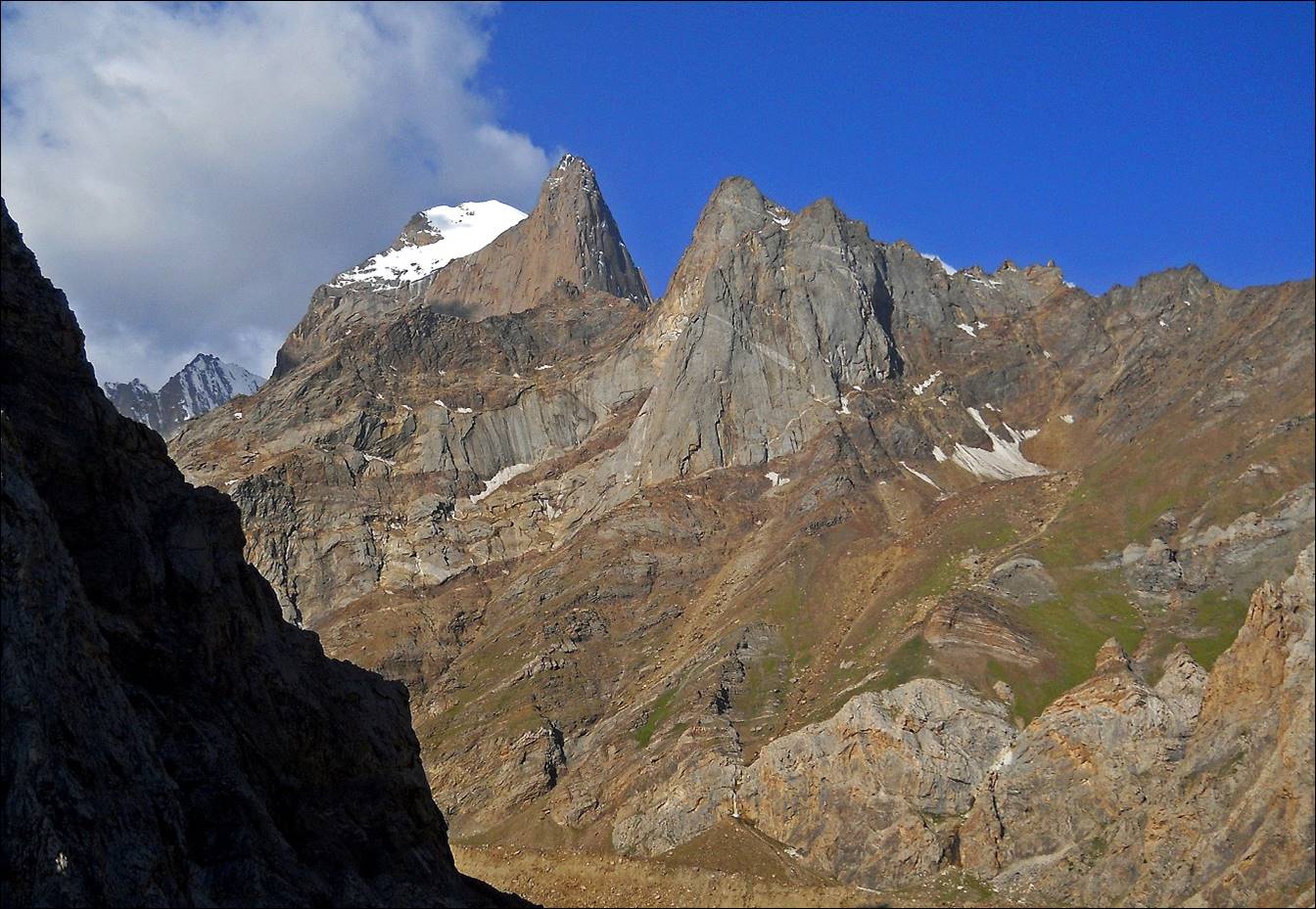
Peak Aksu (5355m).

Peak Iskander (5120m) seen while ascending Aktubek
pass.
Other views during
the ascent of Aktubek pass.
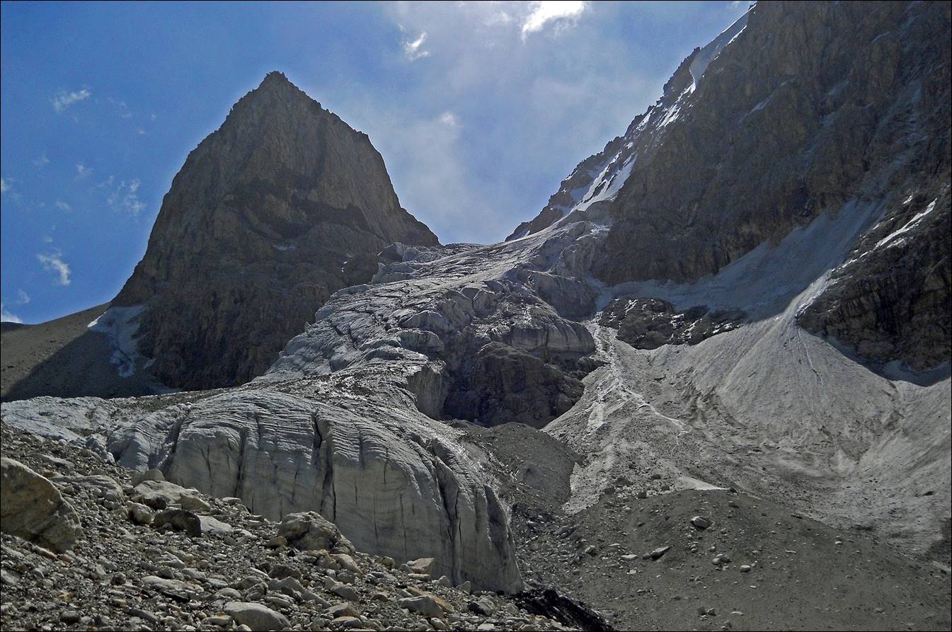
Glacier below Aktubek pass.
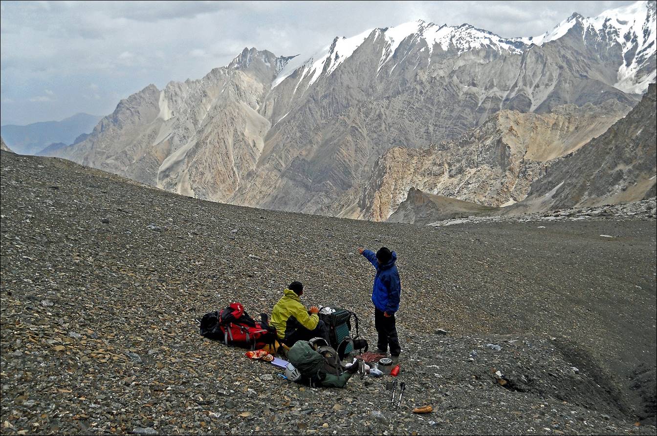
Slava (yellow jacket) and Maksim (blue jacket) at Aktubek
pass (4383 m).
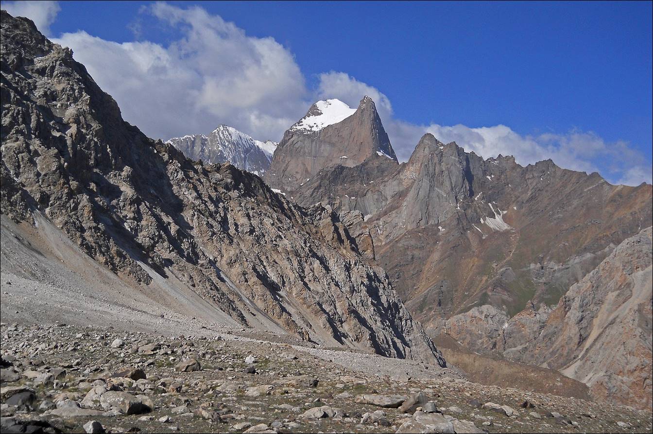
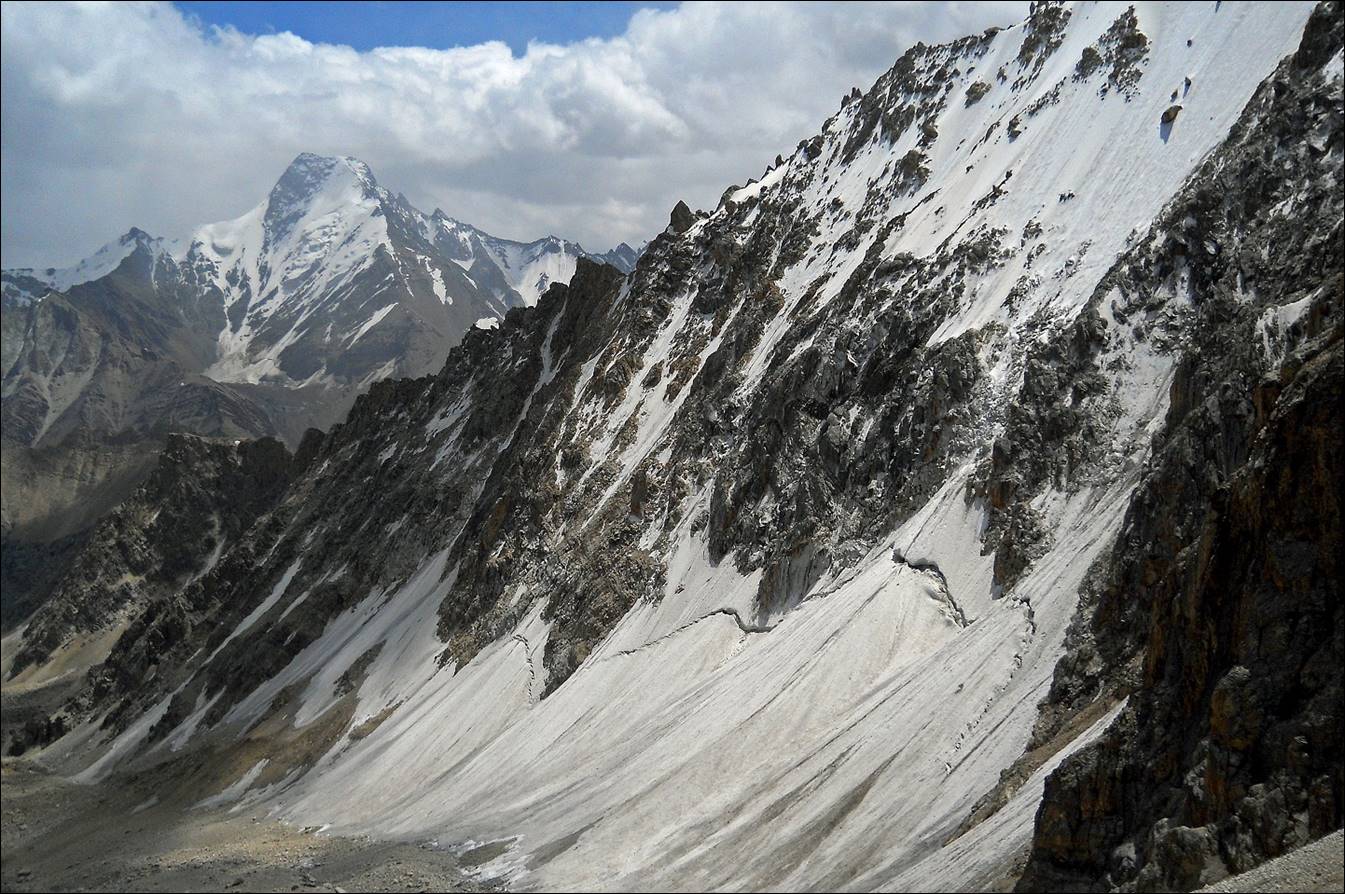
Two views toward
the east from Aktubek pass, with peak Pyramidal
(5509m) in the background.
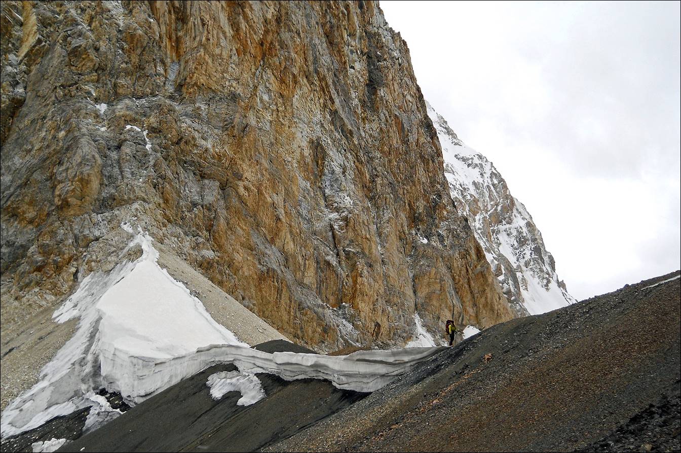
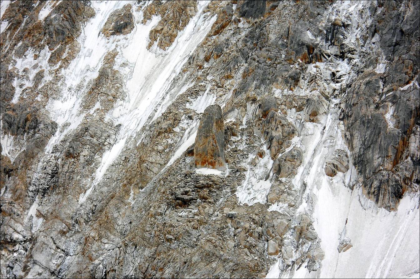
An interesting
rock in the cliff of the previous picture.
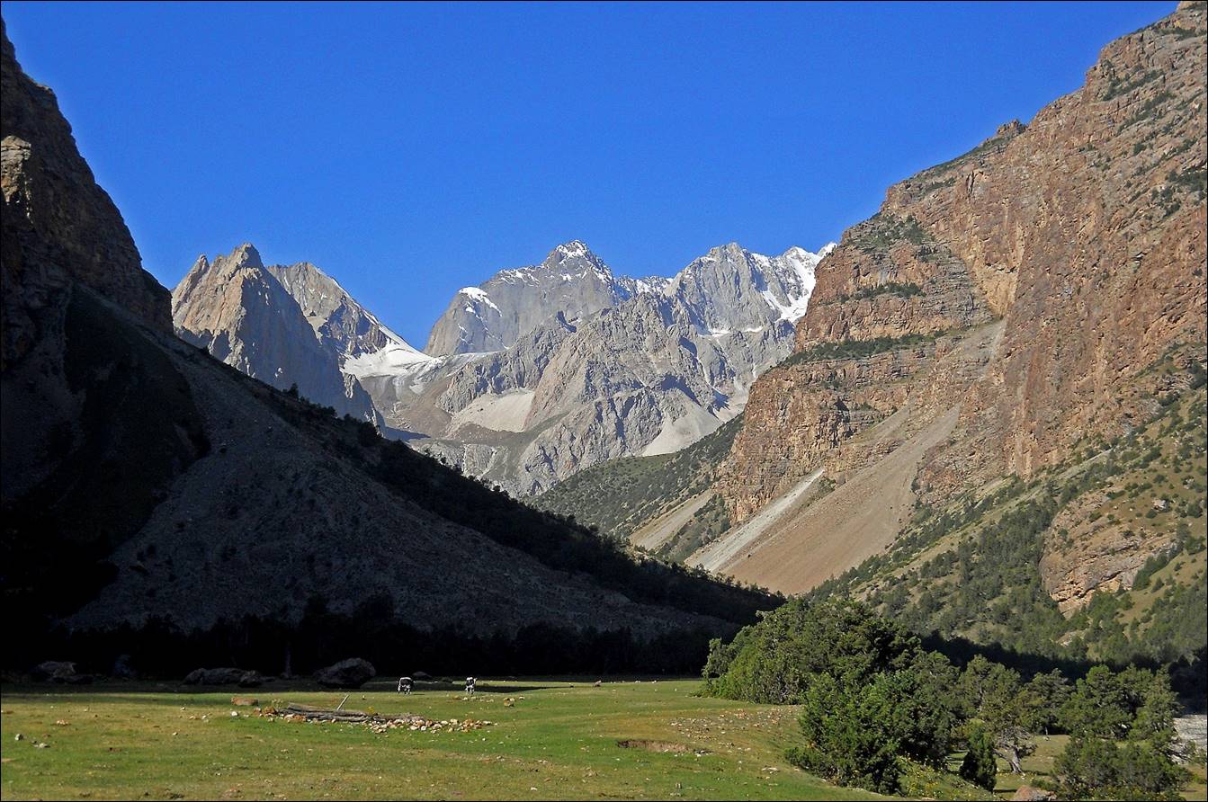
In the valley
of Rtachashma river.

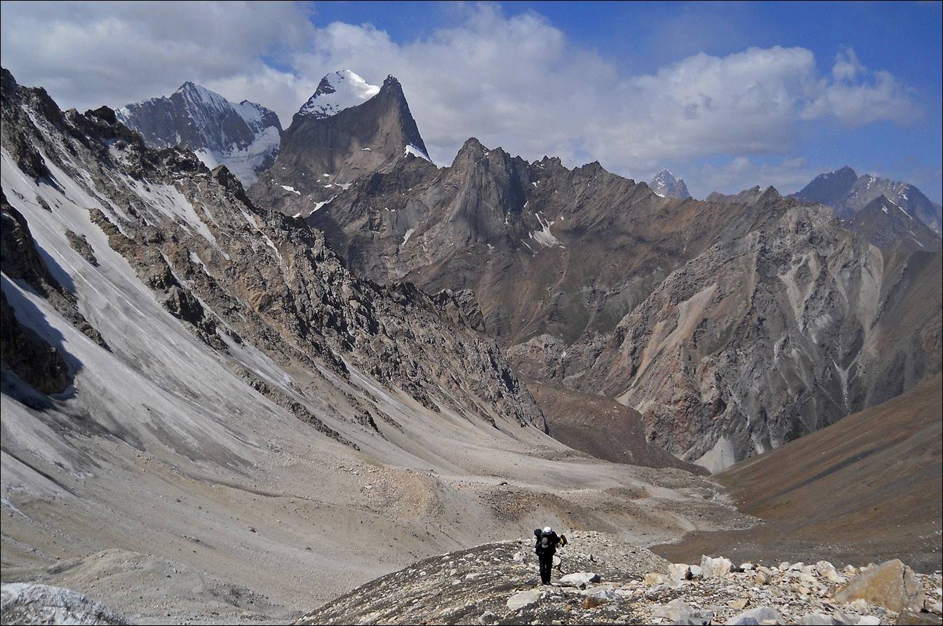
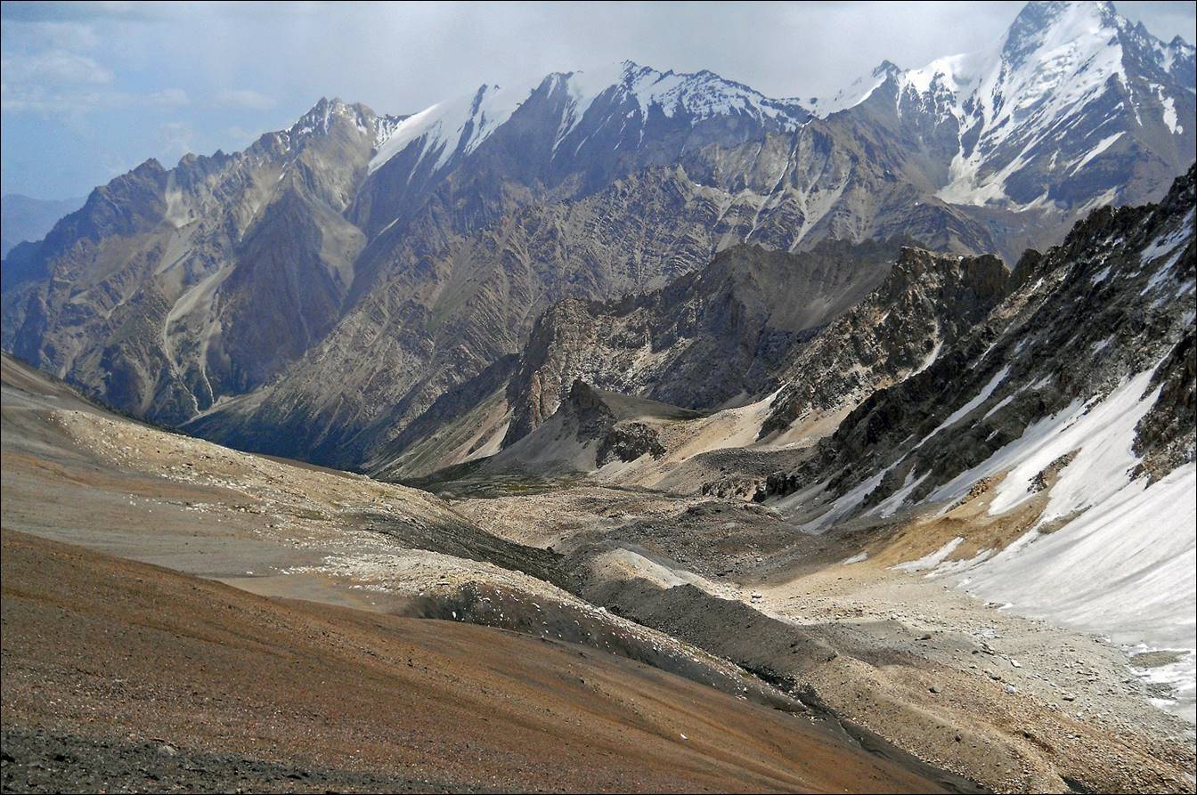
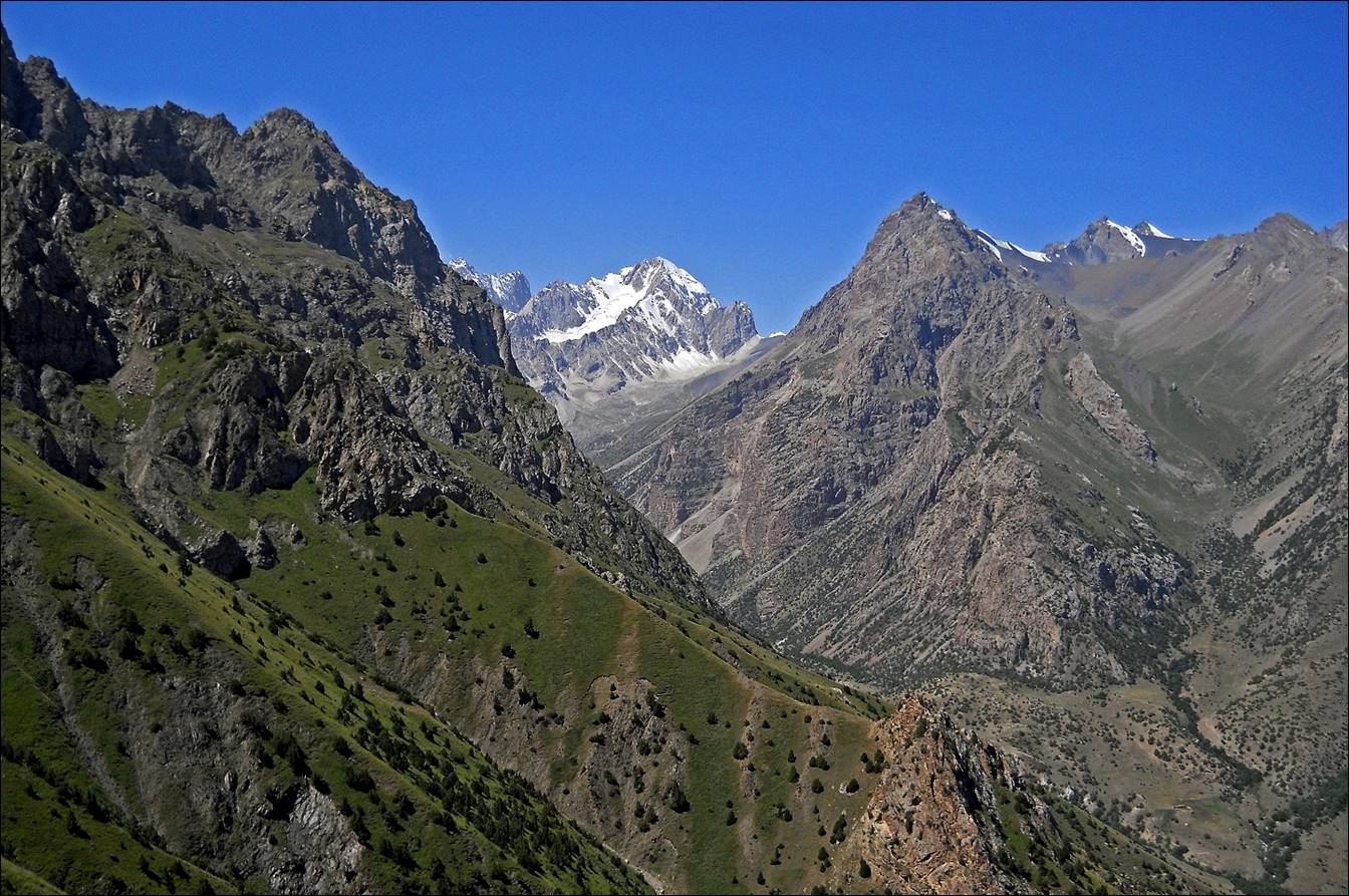
View while
ascending Kosh-Maynok pass (1.8.2), with Aktubek pass still visible
on the right of the snowy peak in the background.
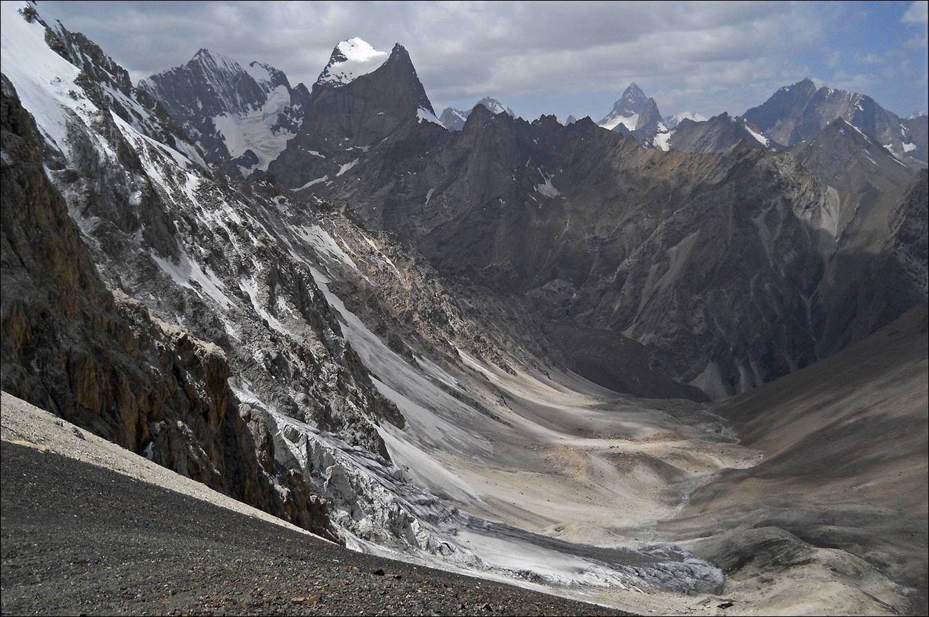
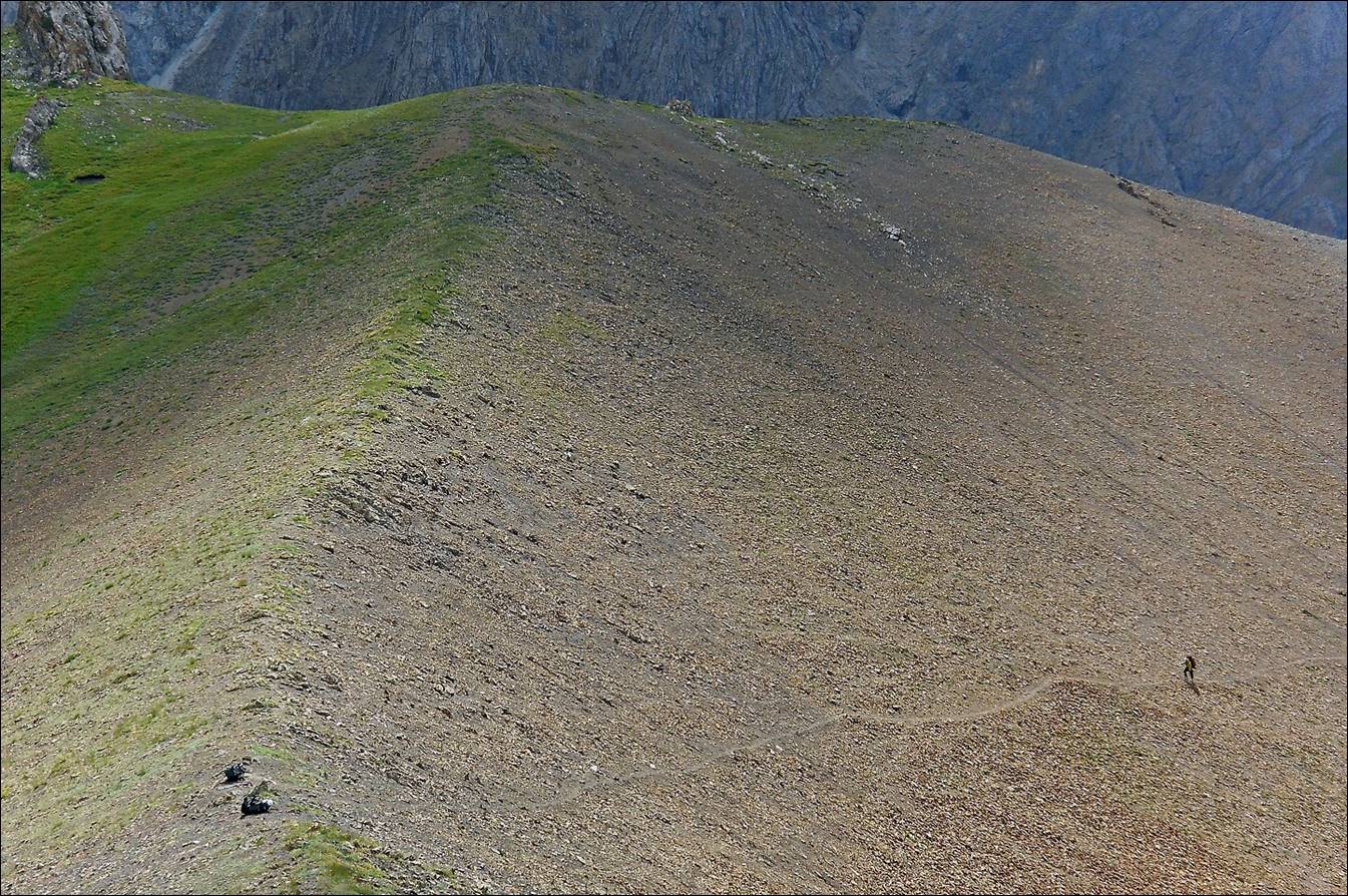
View between Kosh-Maynok pass and Karasu pass.

Slava reaching Karasu pass (1.8.4, 3700m).
![]()