Traverse of Turkestan range ― South-West Kyrgyzstan (2011)
Leg 4: From Karasu pass to Djaupaya valley (July 20-22)
![]()
From Karasu
pass (1.8.4 in the map below), we hiked down into the Karasu
valley, with beautiful views of two big walls, Asan (4230m) and Usen (4378m). We spent a night there and then moved to the
next valley (Aksu river)
which boasts more big walls, including peak Slesov
(also called Russian Tower). Note that since Aksu and
Karasu mean white and black water, respectively,
these are common names for rivers. From the valley of the Aksu
river, we hiked to the next valley (Djaupaya river). All three rivers, Karasu,
Aksu and Djaupaya, merge
together to form Karavshin river.
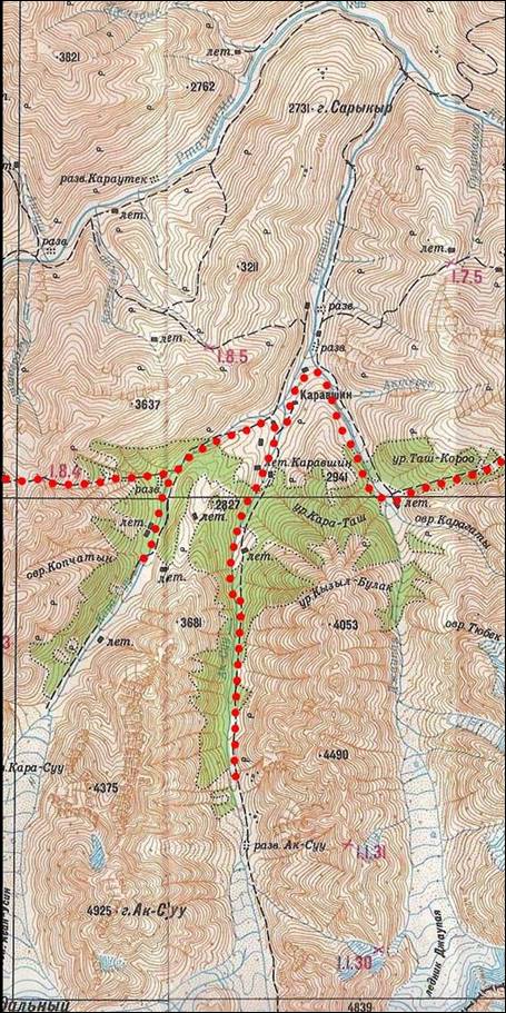
Topographic
map for leg 4. Click here to see the map at better resolution. (Black vertical lines in
the map are distant by 9.5 km.)
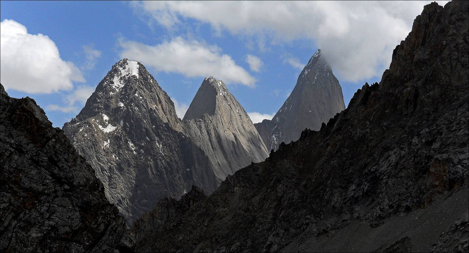
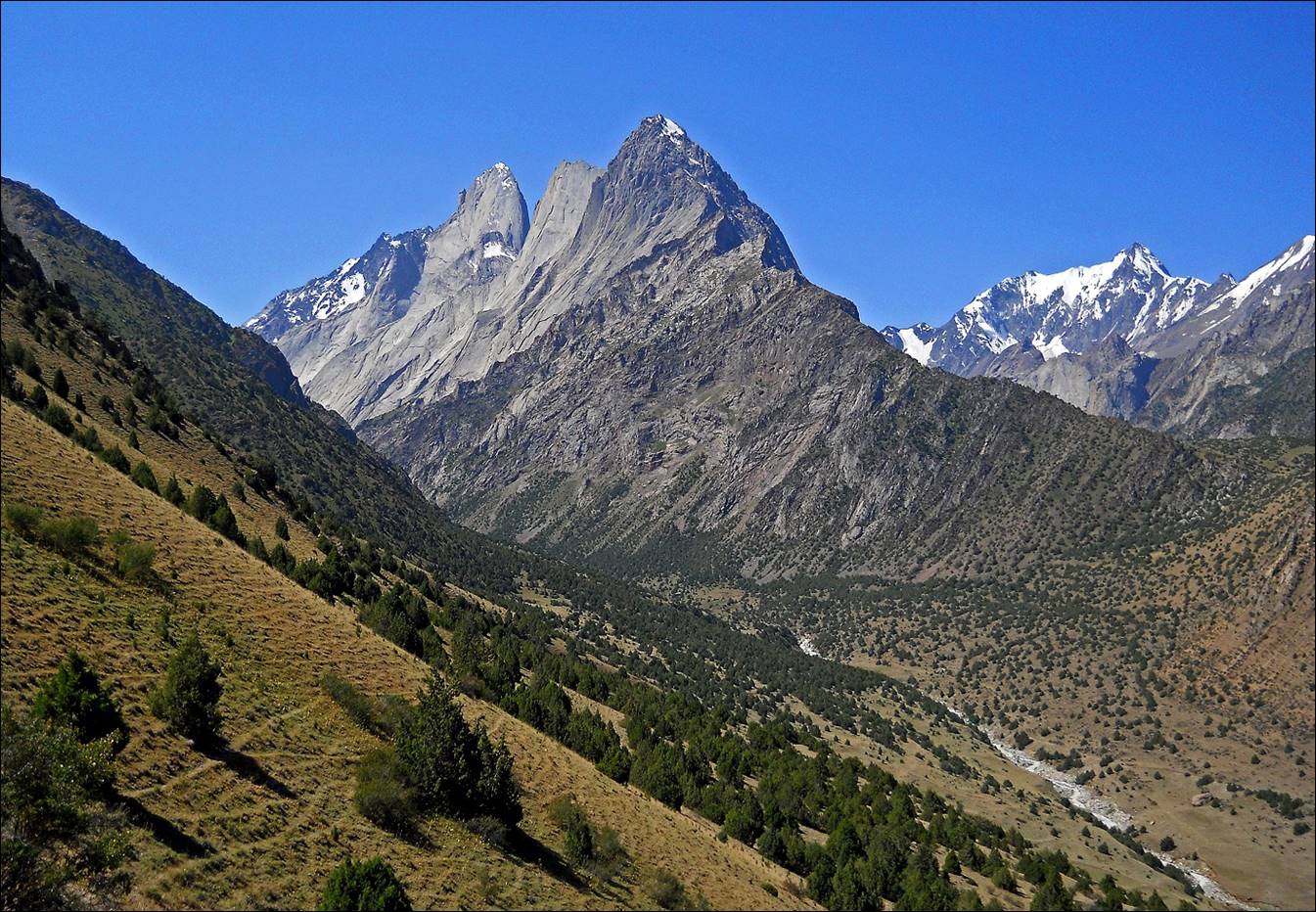
Spectacular alignment of peaks seen
from Karasu pass. From left to right: Kotina (4521m), Kyrkchilta
(4507m), and 4810 (4810m). Peaks Usen and Asan are further to the right and not visible on this
photo.
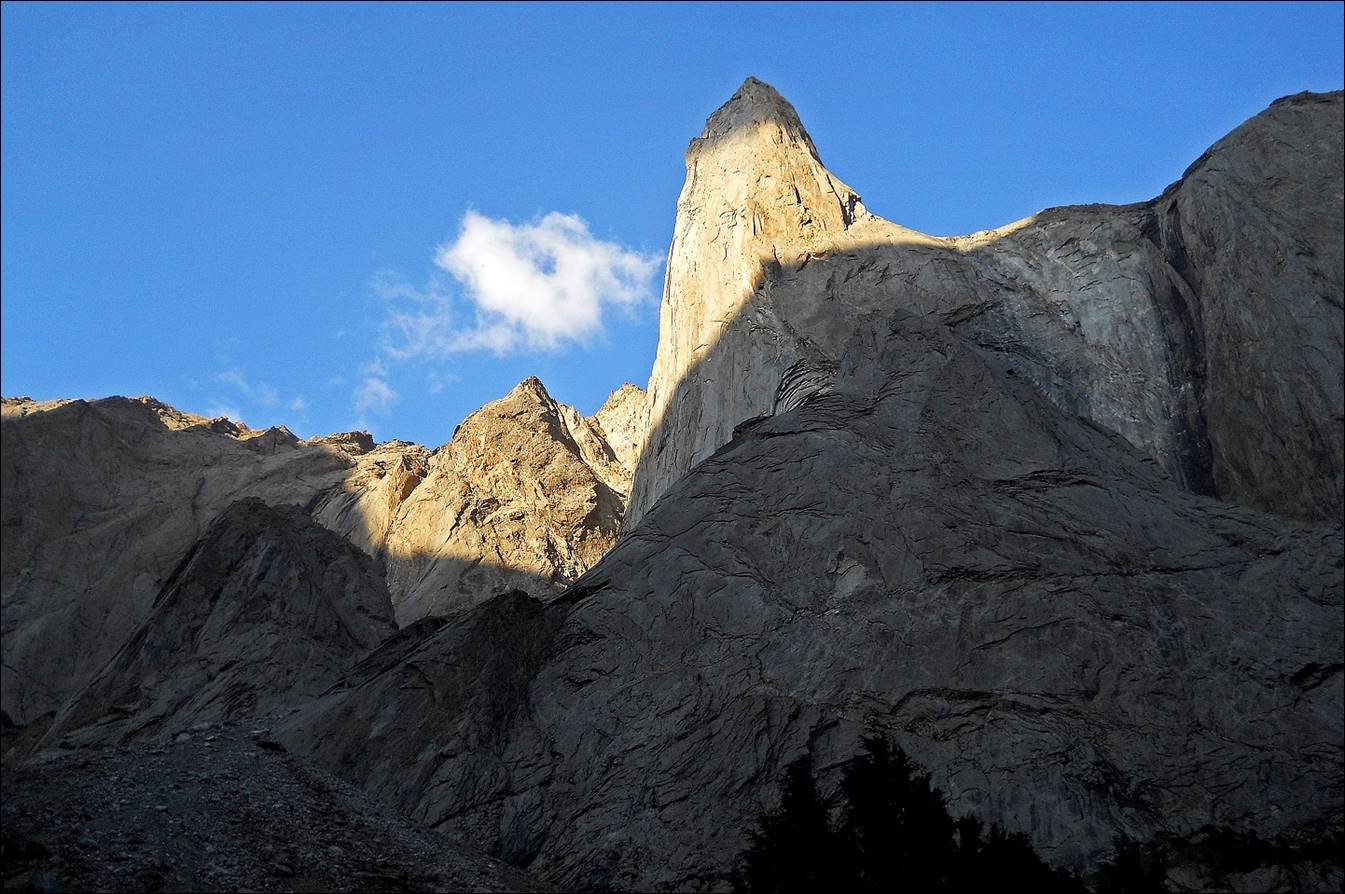
Another view from Karasu
pass, with peak
Slesov visible near the center slightly to the left.

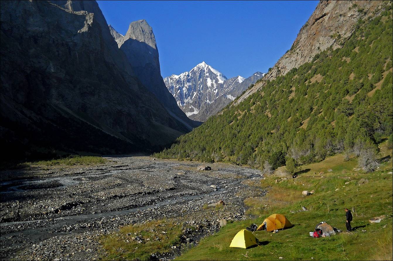
Two views (evening and morning,
respectively) of Karasu valley, with peak Asan (4230m) in the center and peak Pyramidal (5509m) in
the background.
Our camp in Karasu
valley.
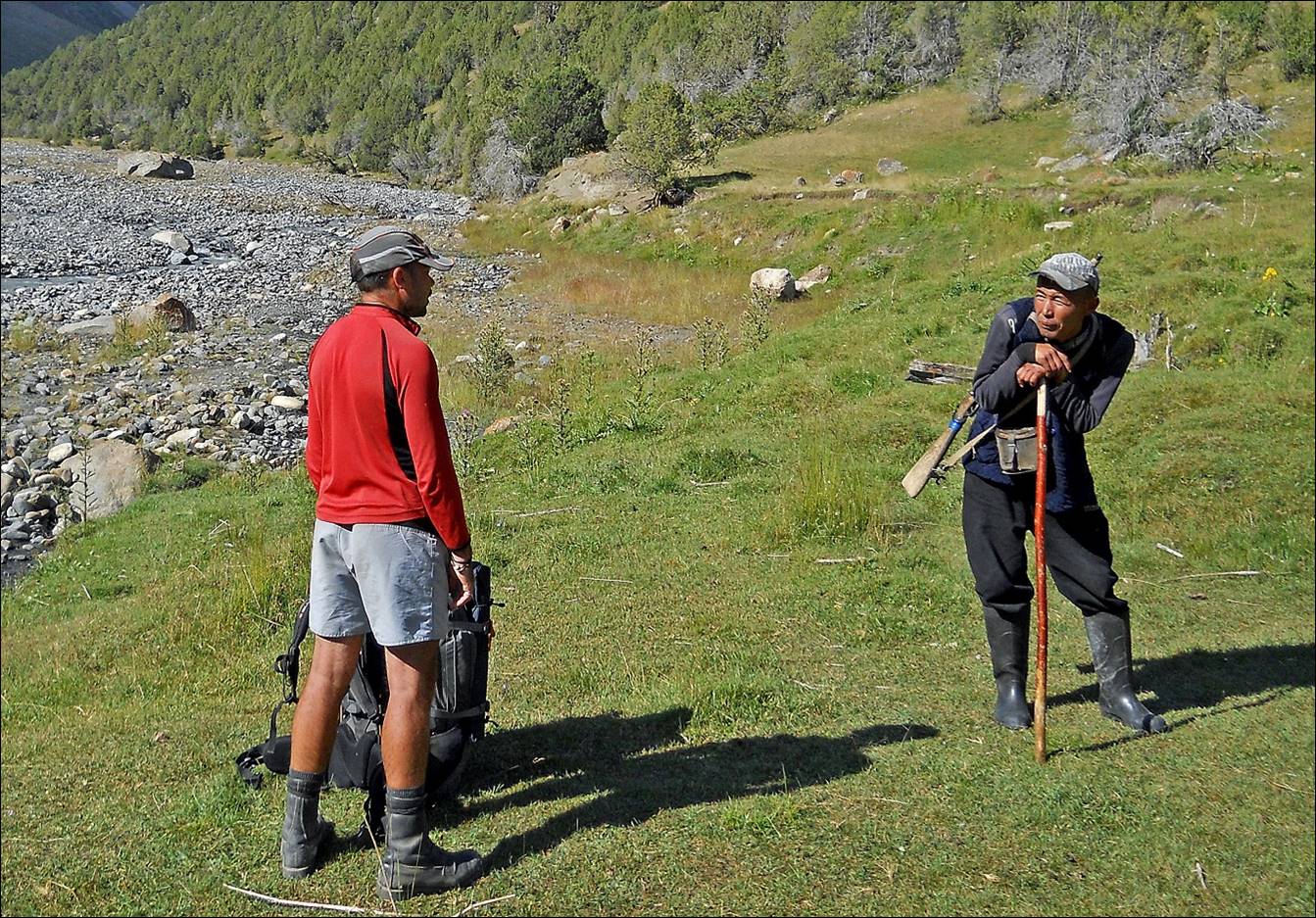
Maksim talking with a shepherd at our
camp.
Last view of Karasu
valley before we turned around into the Aksu valley
on its east.
Entering Aksu
valley.
In Aksu
valley.
Maksim crossing Aksu
river (not so white) on a slippery bridge on a late
afternoon, when the water level was the highest due to snow and ice melting
upward.

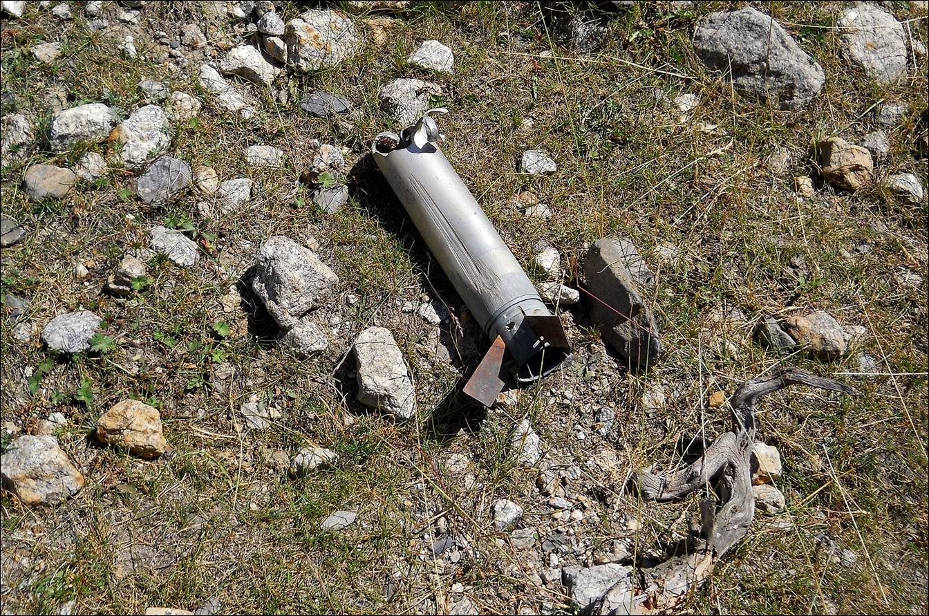
Remain of a rocket from previous
fights in the Aksu valley between the Kyrgyz army and
infiltrators coming from Afghanistan.
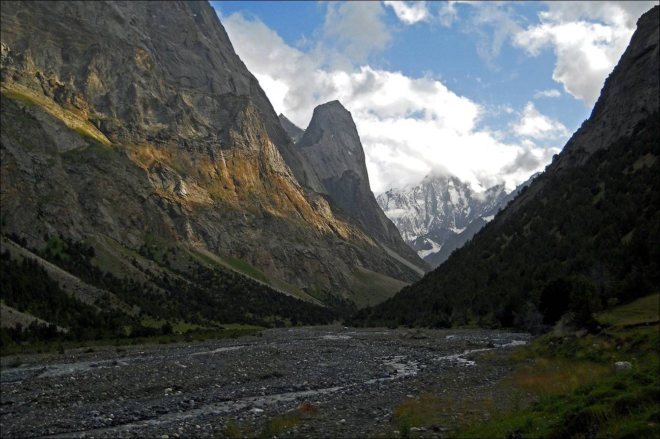
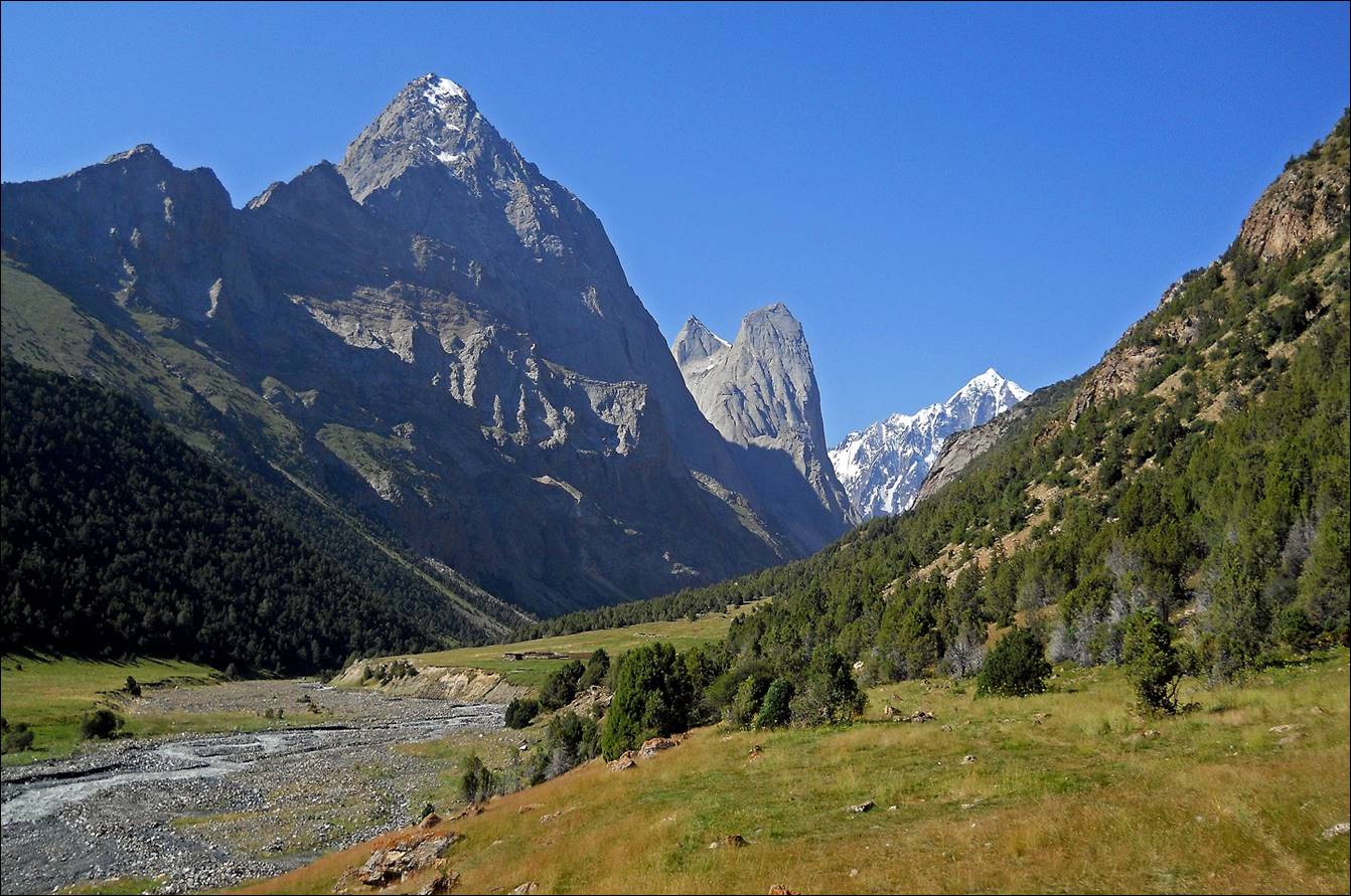
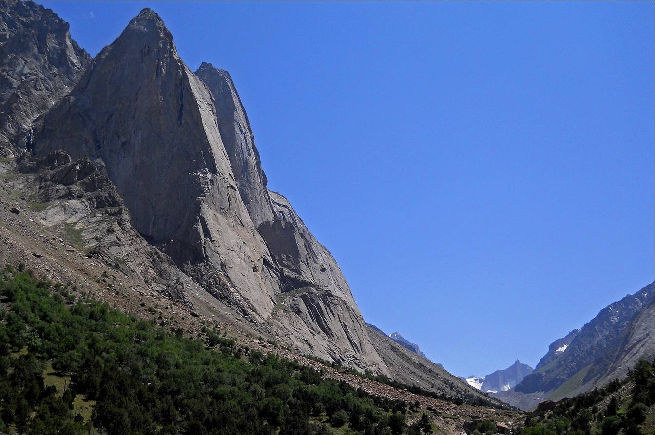
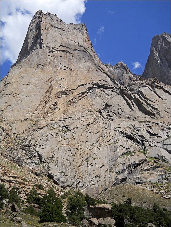
Peak Ortotyubek (Central
Pyramid, 3850m), in the middle of the picture, and peak Slesov
(Russian Tower, 4240m) on its right (north).
Other views of peaks Ortotyubek
and Slesov.
|
|
|
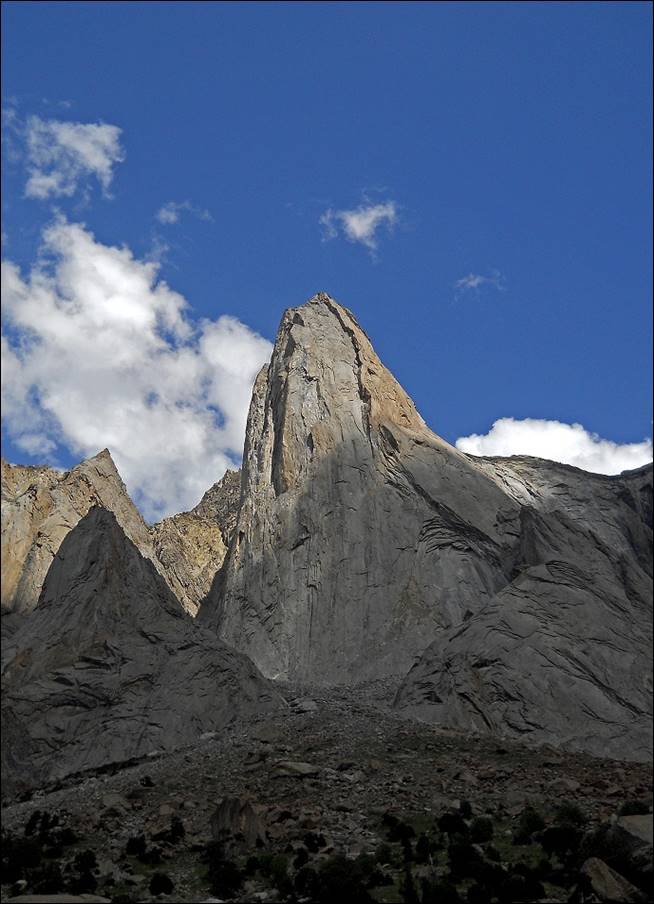
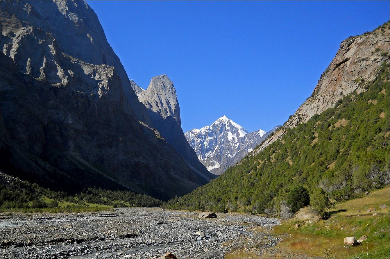
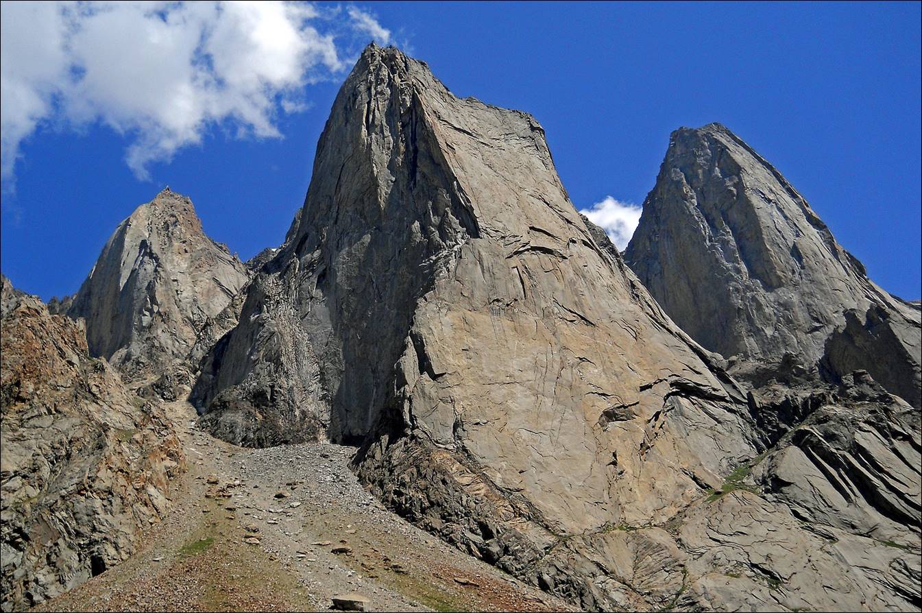
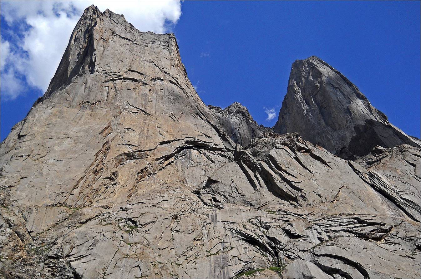
Other views of peak Slesov.

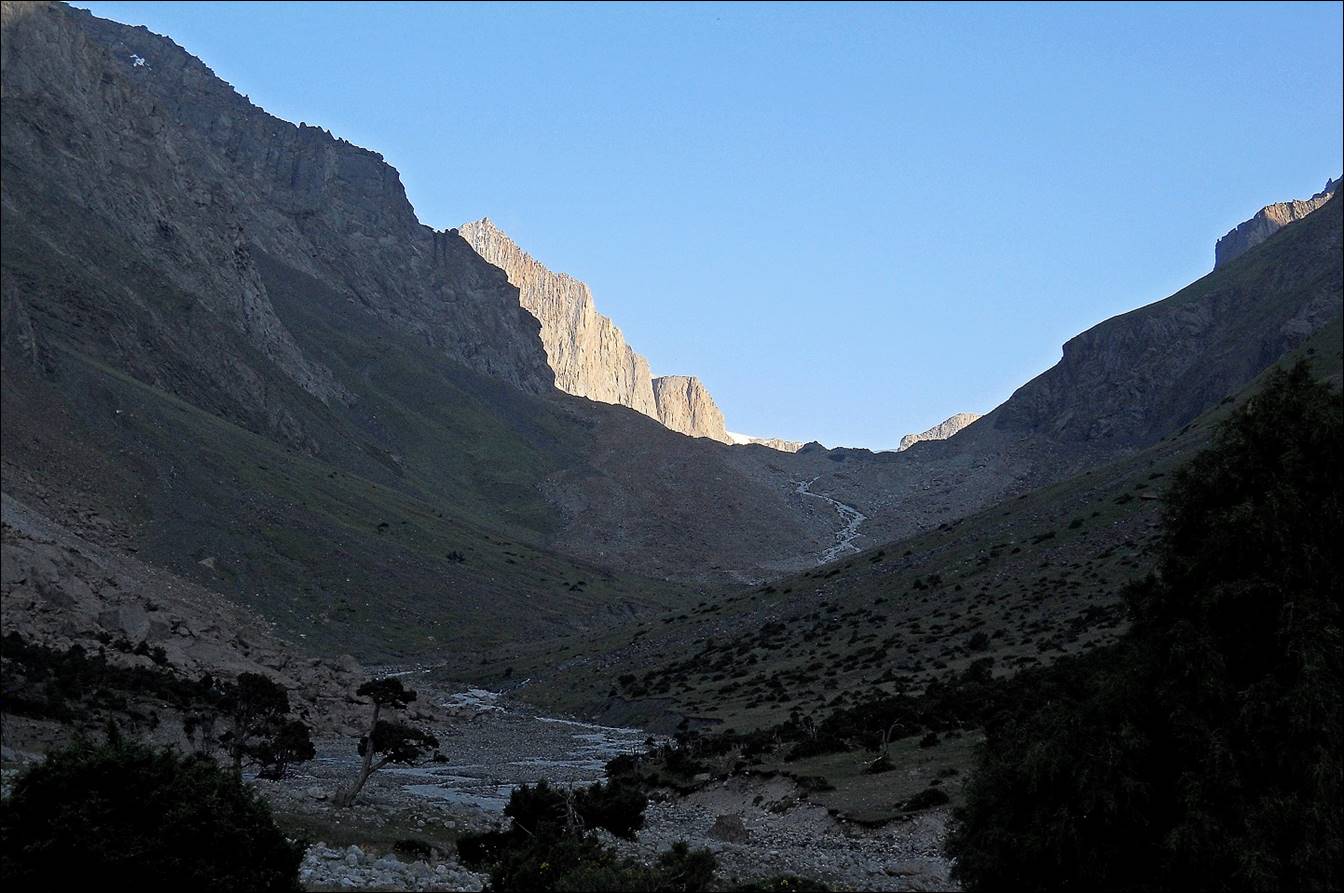
Upper part of the Aksu
valley.
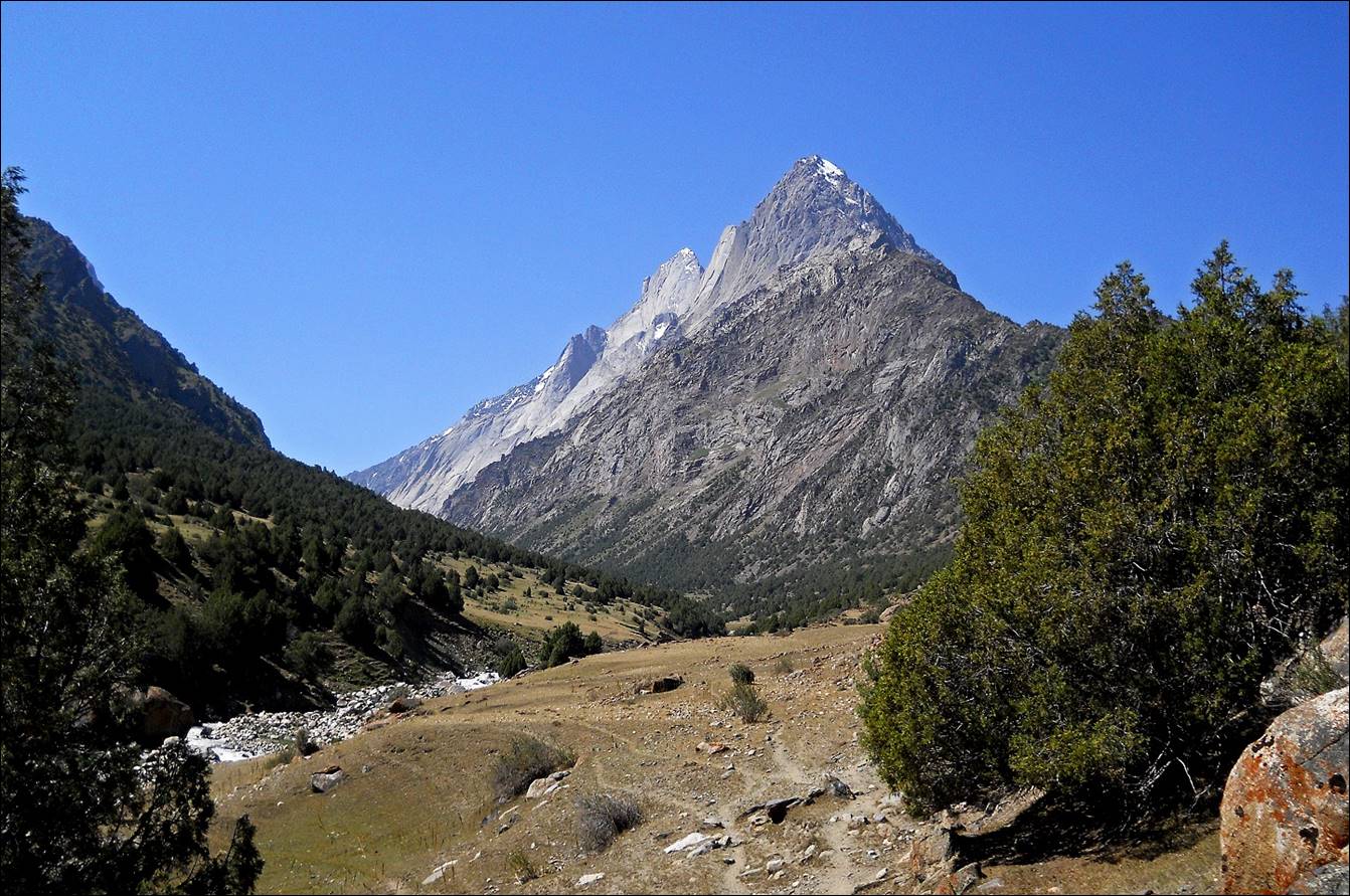
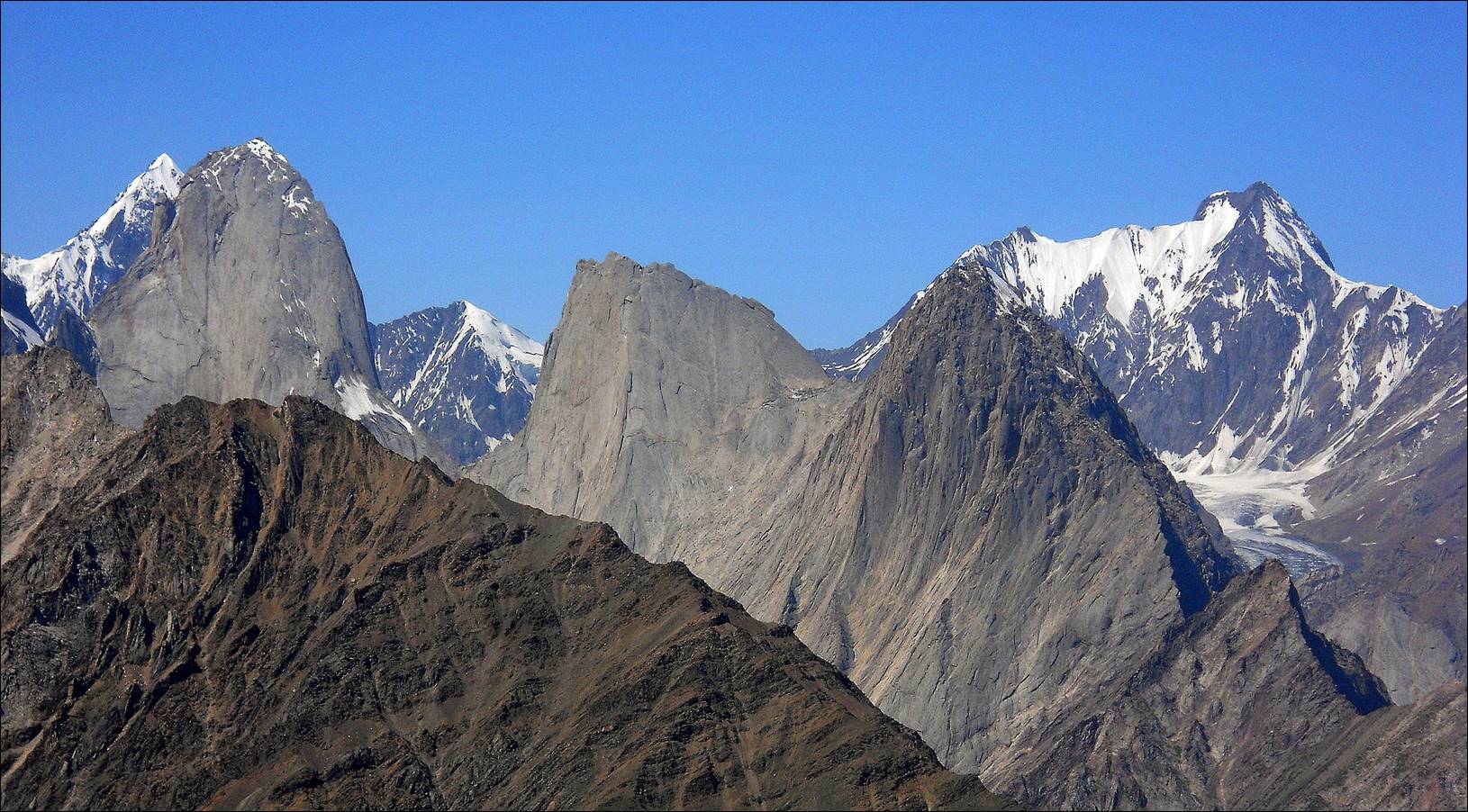
Kyrkchilta (4507
м), also called ′1000th Anniversary of Russia Christening′, left,
and Kotina (4521m), right.

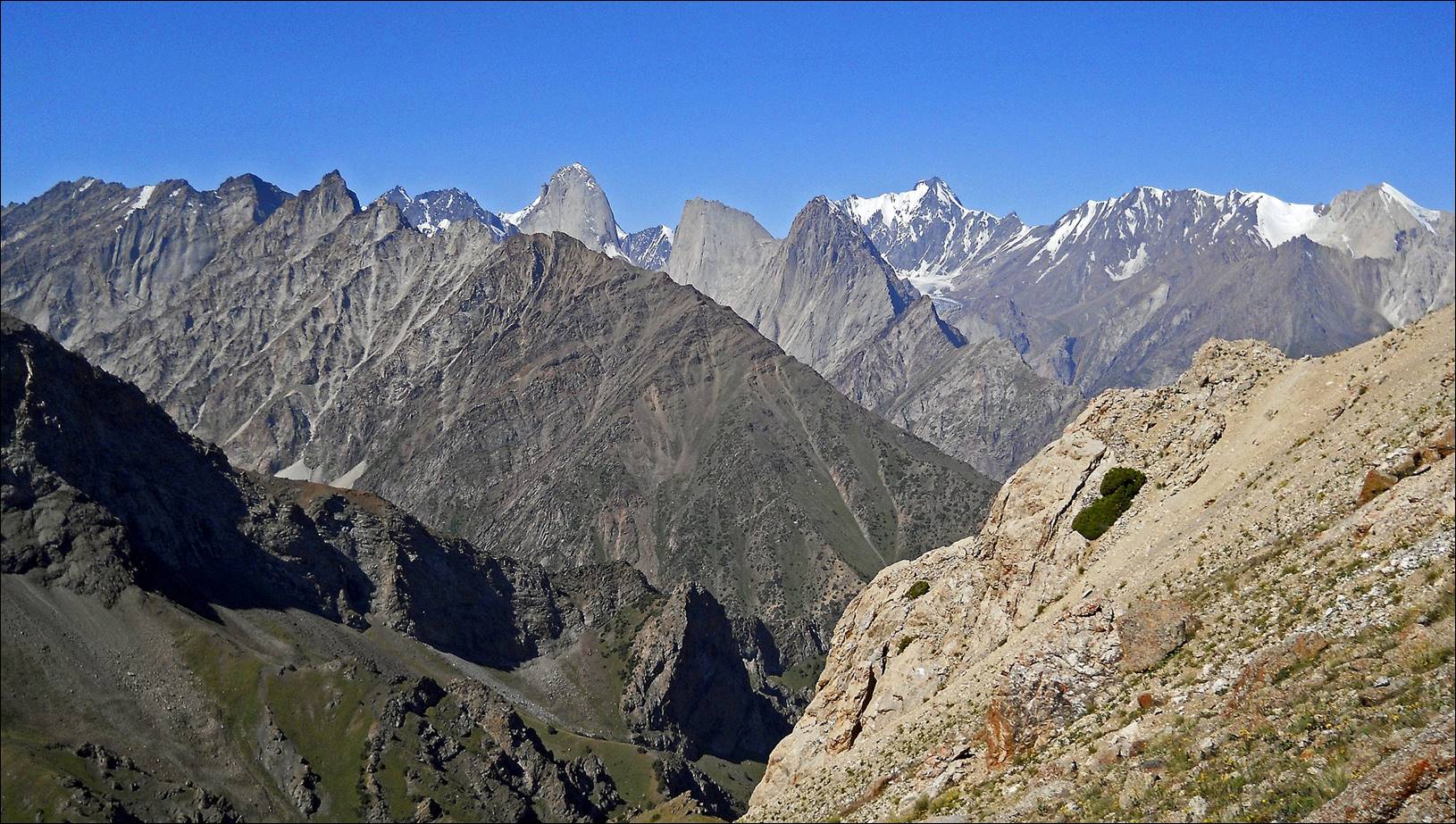
View of peaks 4810, Kyrkchilta, and Kotina, from left
to right at the center of the photo, seen from the ridge separating the Aksu and Djaupaya valleys. Peak Pyramidal
is hidden behind peak 4810.
Two more pictures of these peaks and other
peaks behind them, taken later while ascending Verhniy-Djaupayskiy
pass between the valleys of Djaupaya and Tamingen rivers.
![]()