Traverse of Turkestan range ― South-West Kyrgyzstan (2011)
Leg 5: From Djaupaya valley to Shirovsky
glacier (July 22-25)
![]()
We hiked up the Djaupaya valley until we reached a
group of koshes. Then we turned east to ascend Verhniy-Djaupayskiy pass (marked 1.7.3 on the map below).
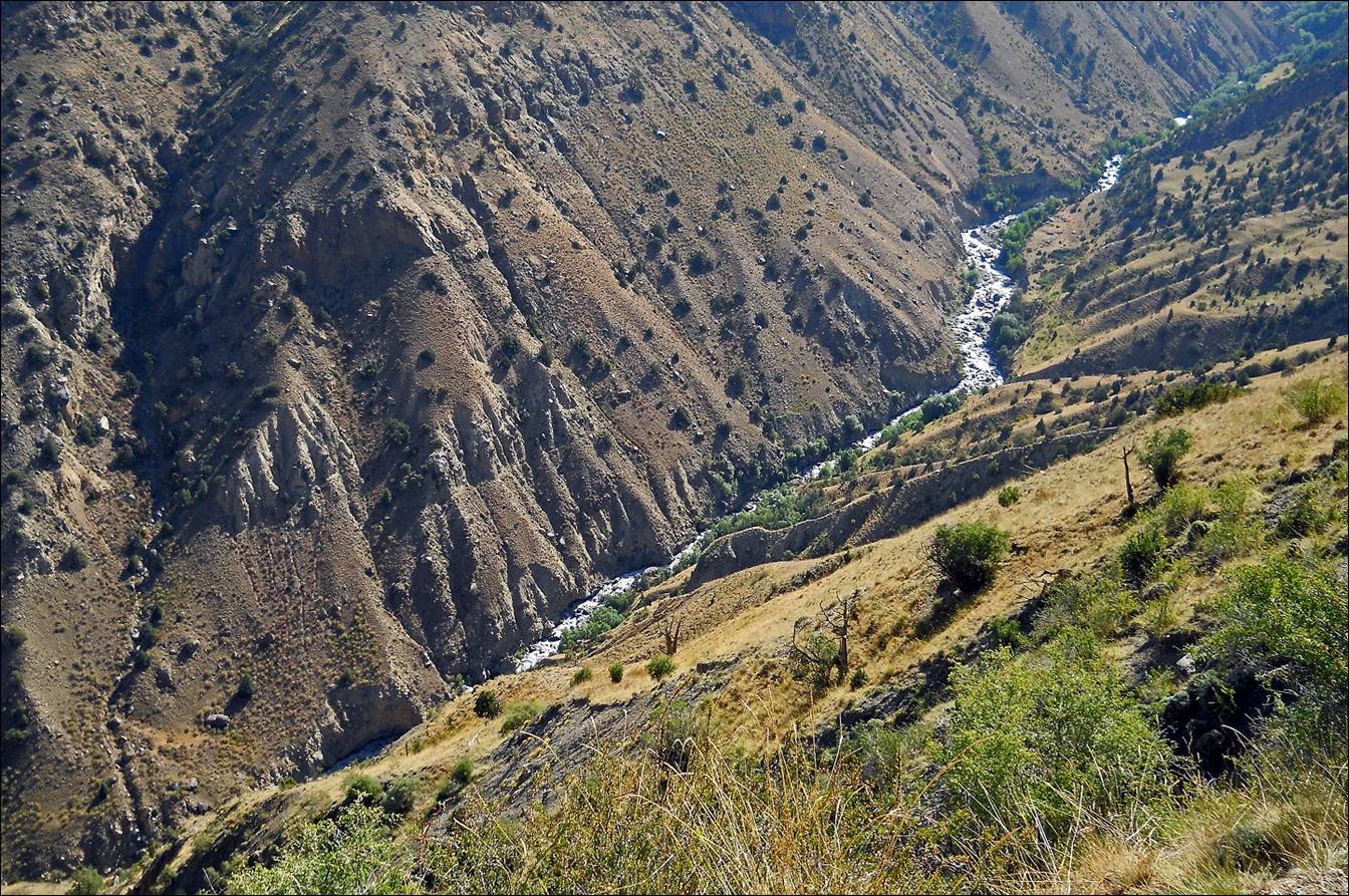
From the pass we descended into the valley of the Tamingen
river, followed down this river, and then switched to Minteke
river. We hiked up Minteke river and next Minteke glacier. We
crossed Minteke Yyniy
(South) pass (marked 1.5.5 on the map below, 4180m) before descending toward
the large Shirovsky glacier. We were then on a section of the
Turkestan range that I had visited in 2005.
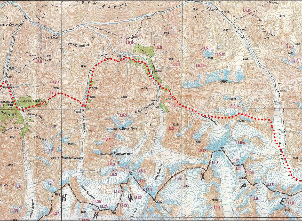
Topographic
map for leg 5. Click here to see the map at better resolution. (Black vertical lines in
the map are distant by 9.5 km.)
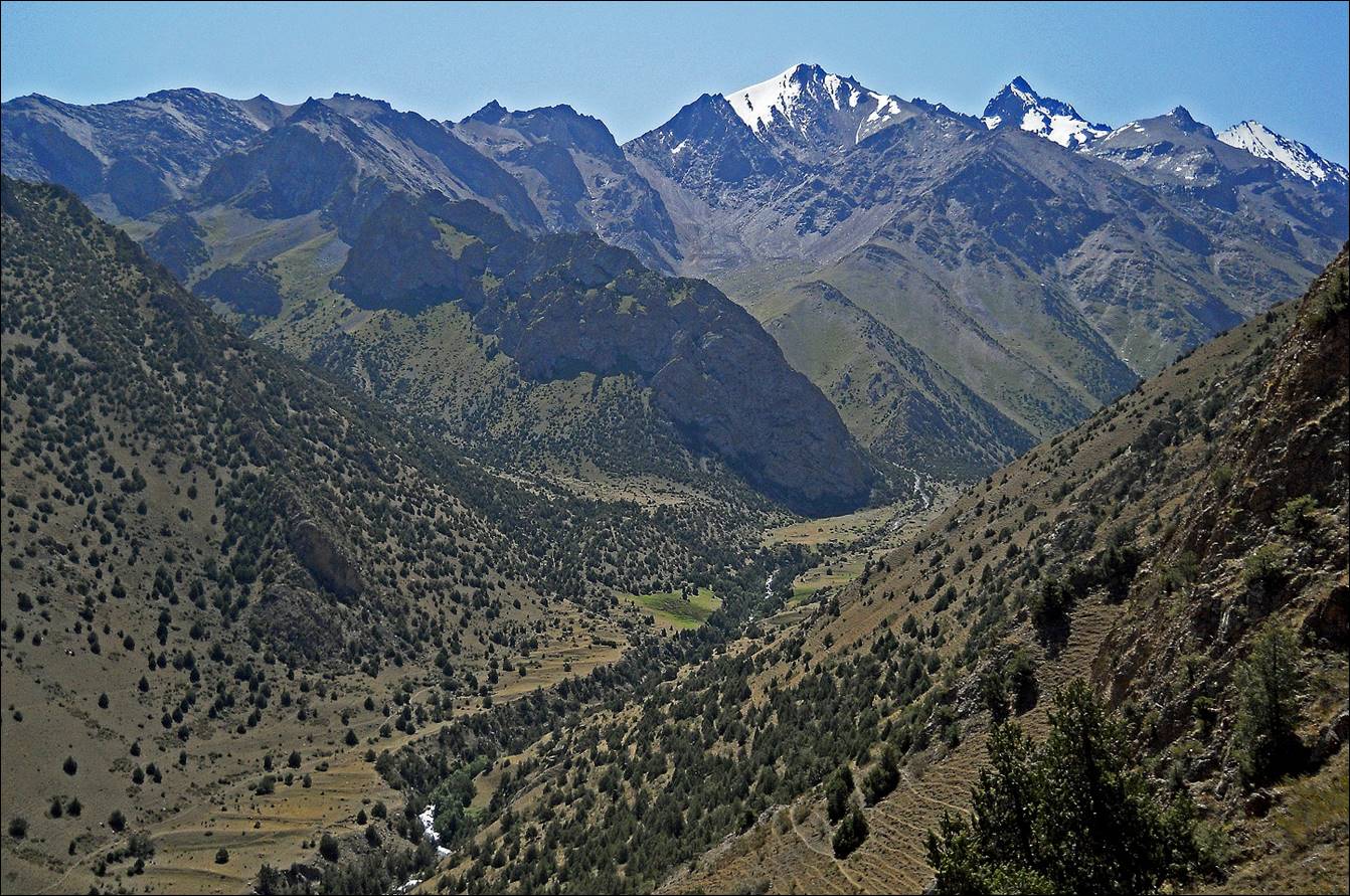
Djaupaya valley.
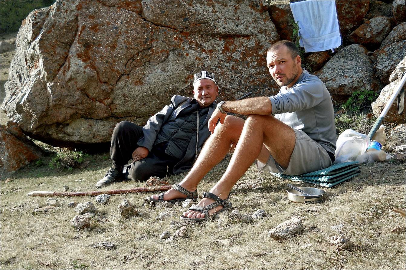
Maksim with a shepherd in Djaupaya
valley.
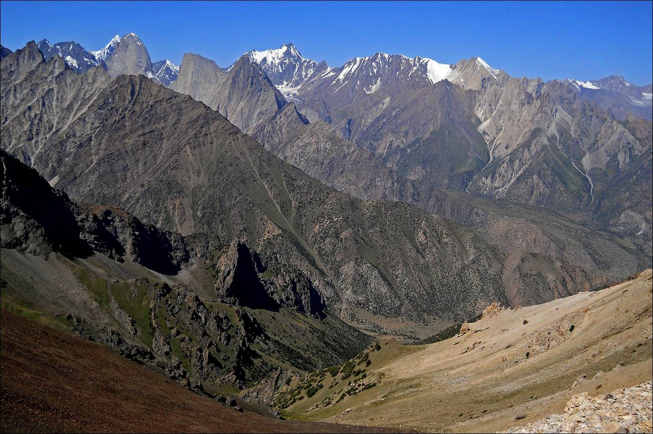
View while ascending Verhniy-Djaupayskiy pass. Peaks Pyramidal, 4810, Kyrkchilta,
and Kotina are still visible.
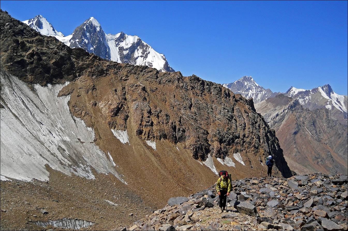
Slava approaching Verhniy-Djaupayskiy pass.
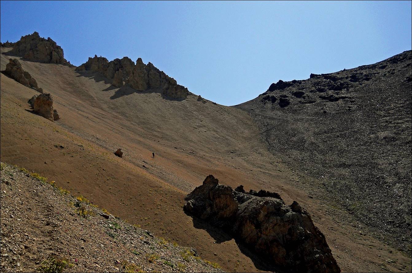
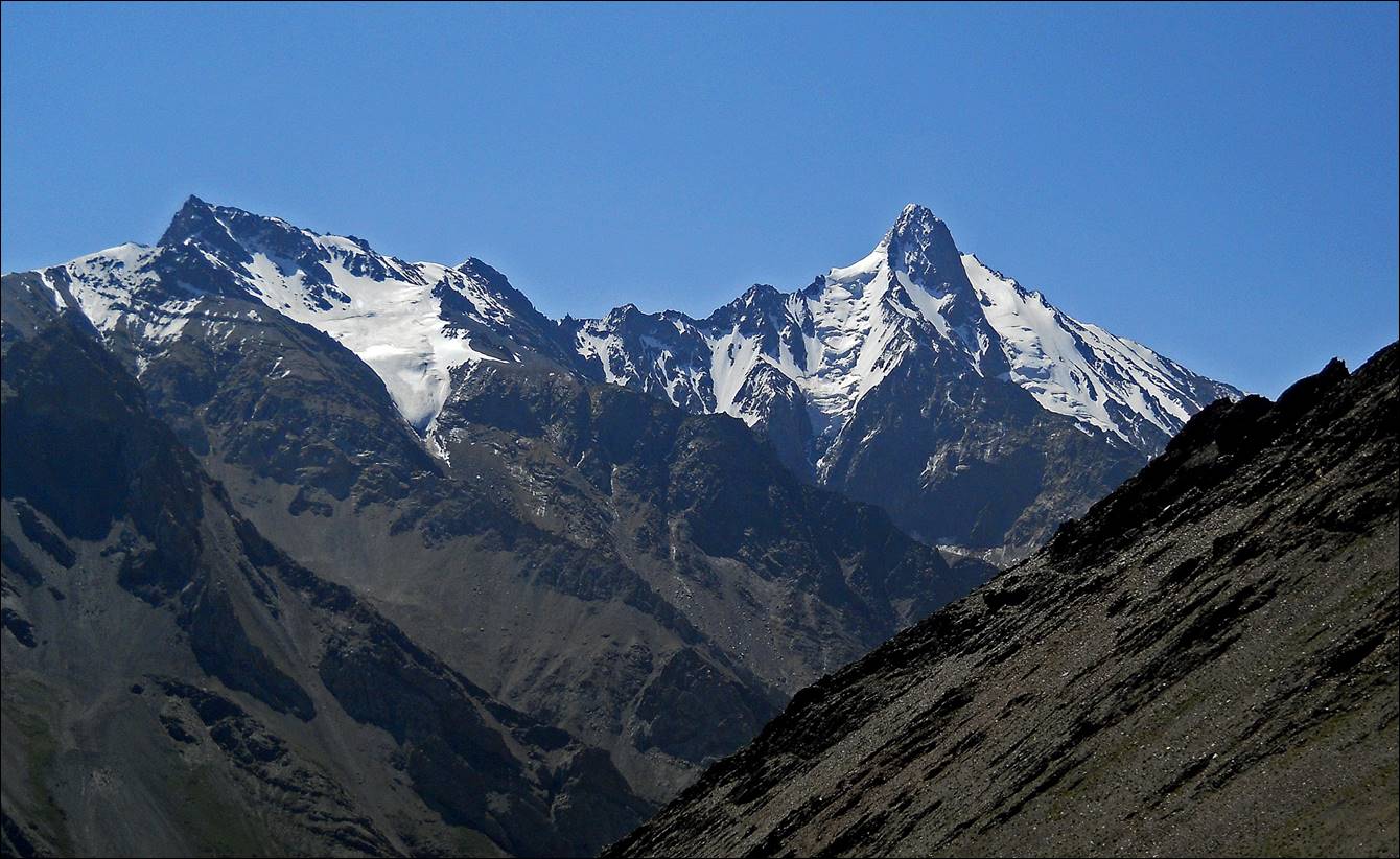
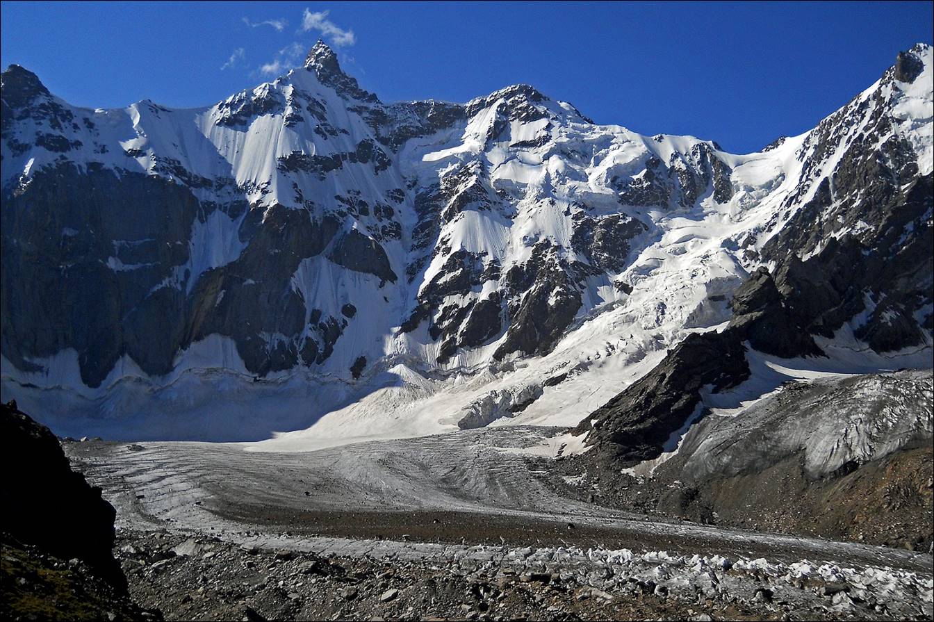
Peaks visible from Verhniy-Djaupayskiy pass.
Descent into the Tamingen valley from Verhniy-Djaupayskiy
pass.

In the Tamingen valley.
|
|
|
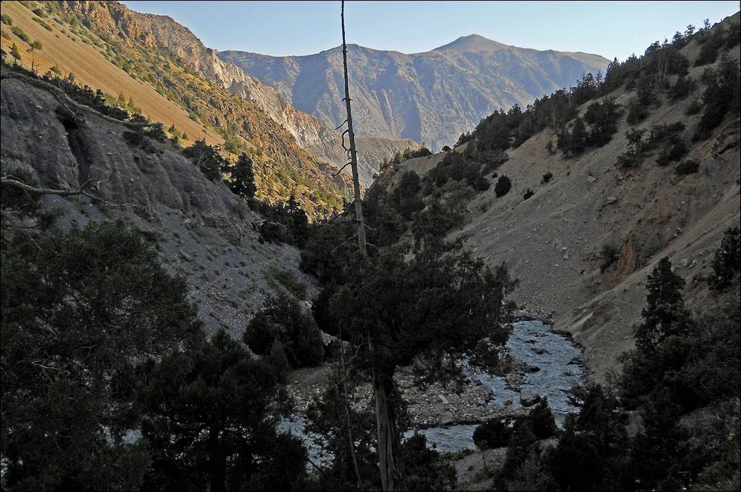
Near the junction of the Tamingen valley and Minteke valley. The third valley in the background is Djiptyk valley, which descends from Shirovsky
glacier.

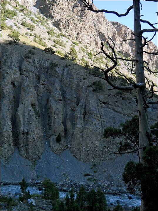
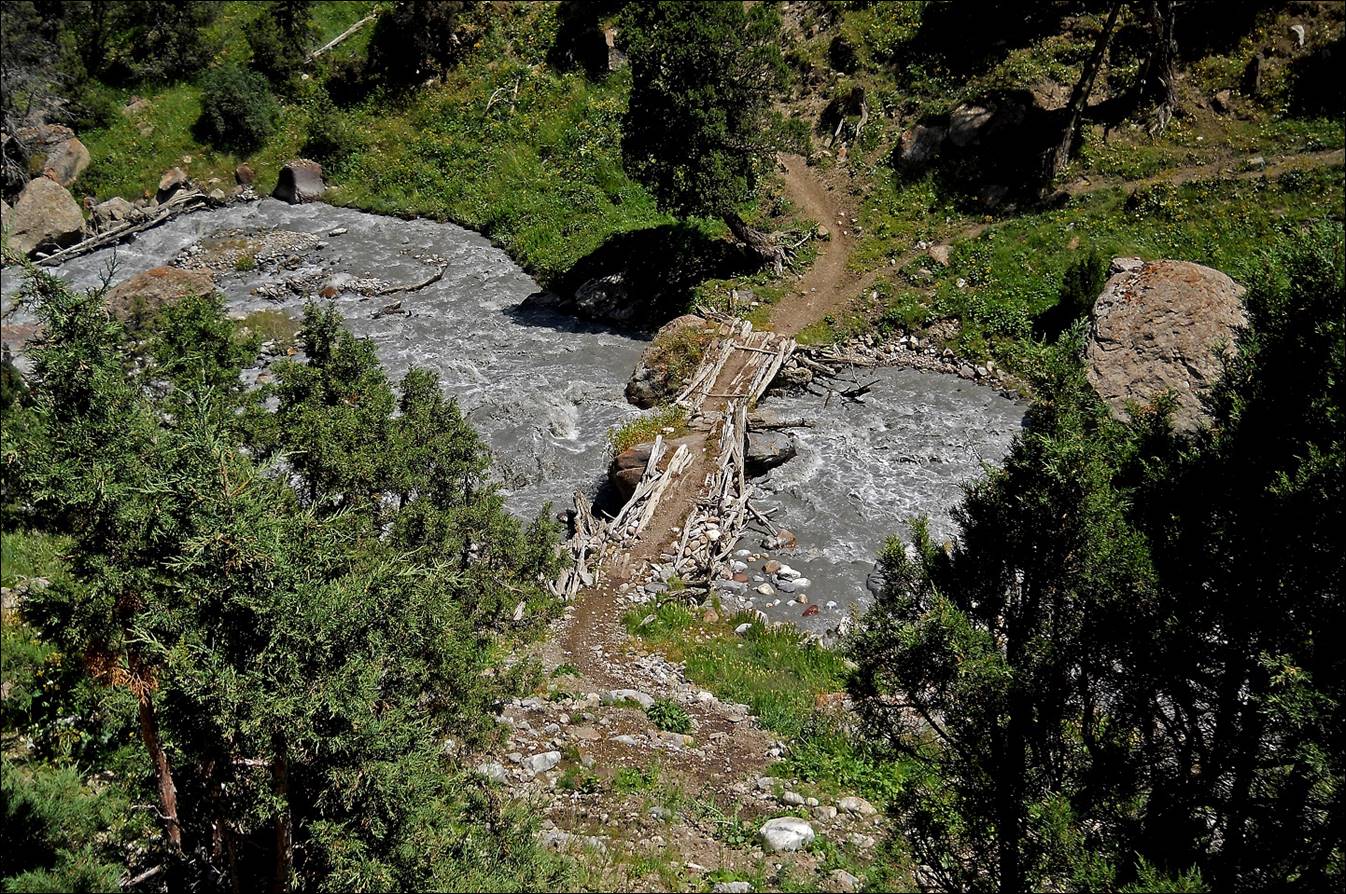
Lower part of Minteke valley.
In the lower part of Minteke valley.
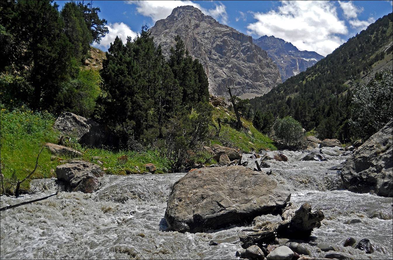
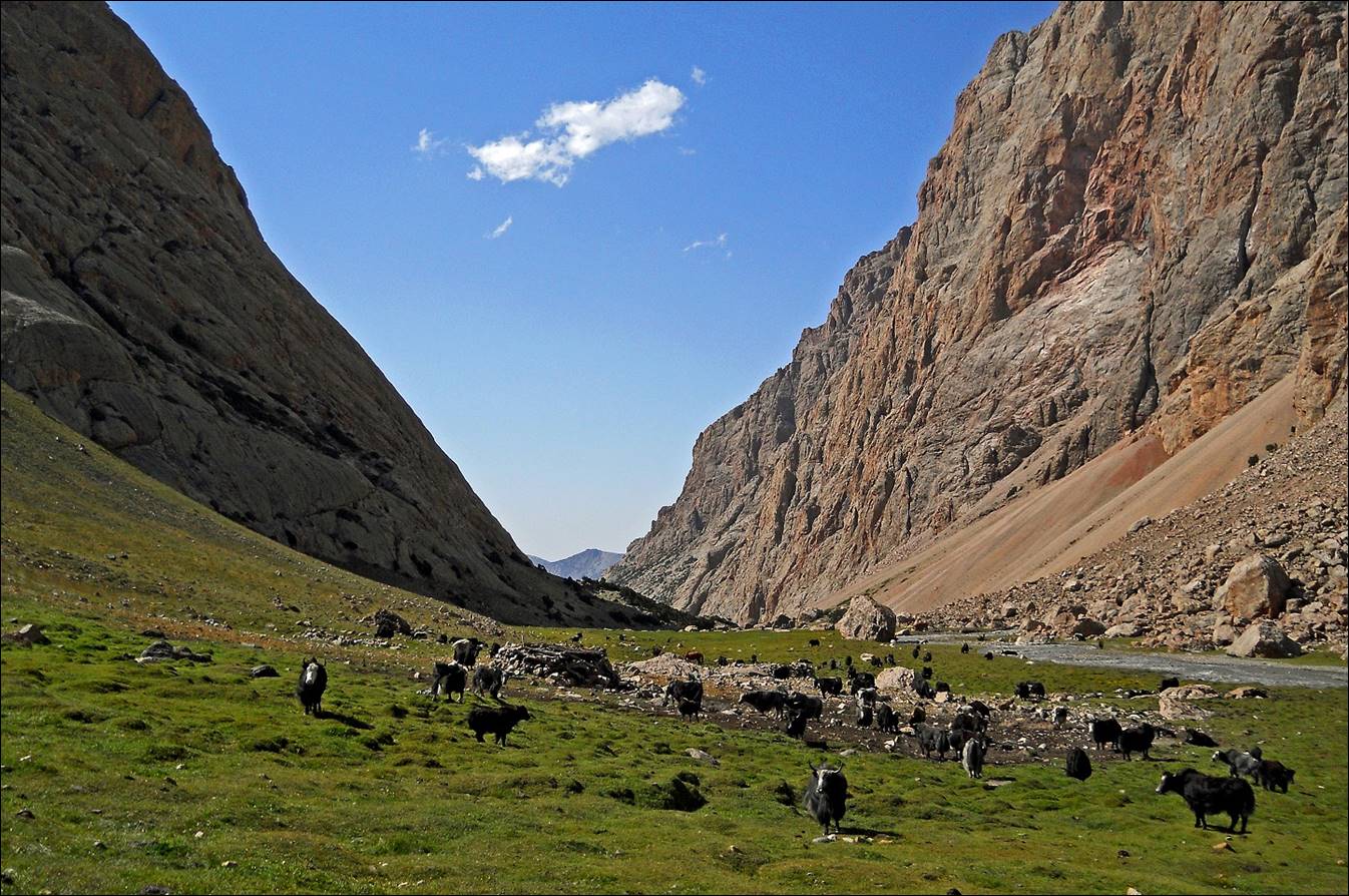
Herd of yaks in the upper part of Minteke valley.
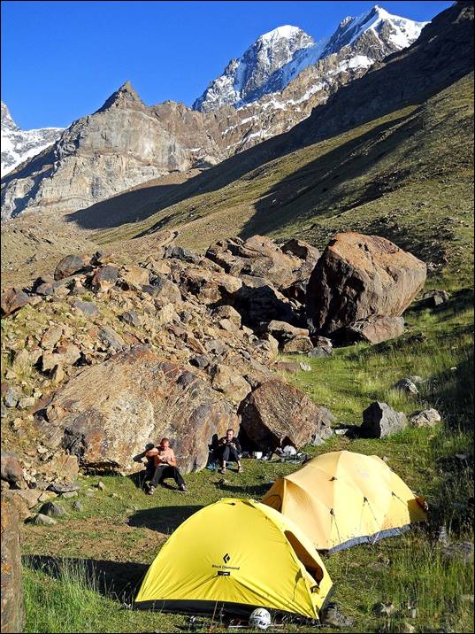
Left: upper part of Minteke valley before reaching Minteke glacier. Right: our camp below the moraine.
|
|
|

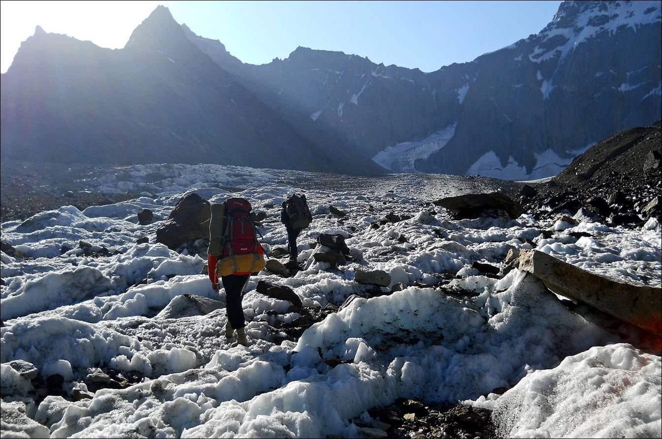
On Minteke
glacier.
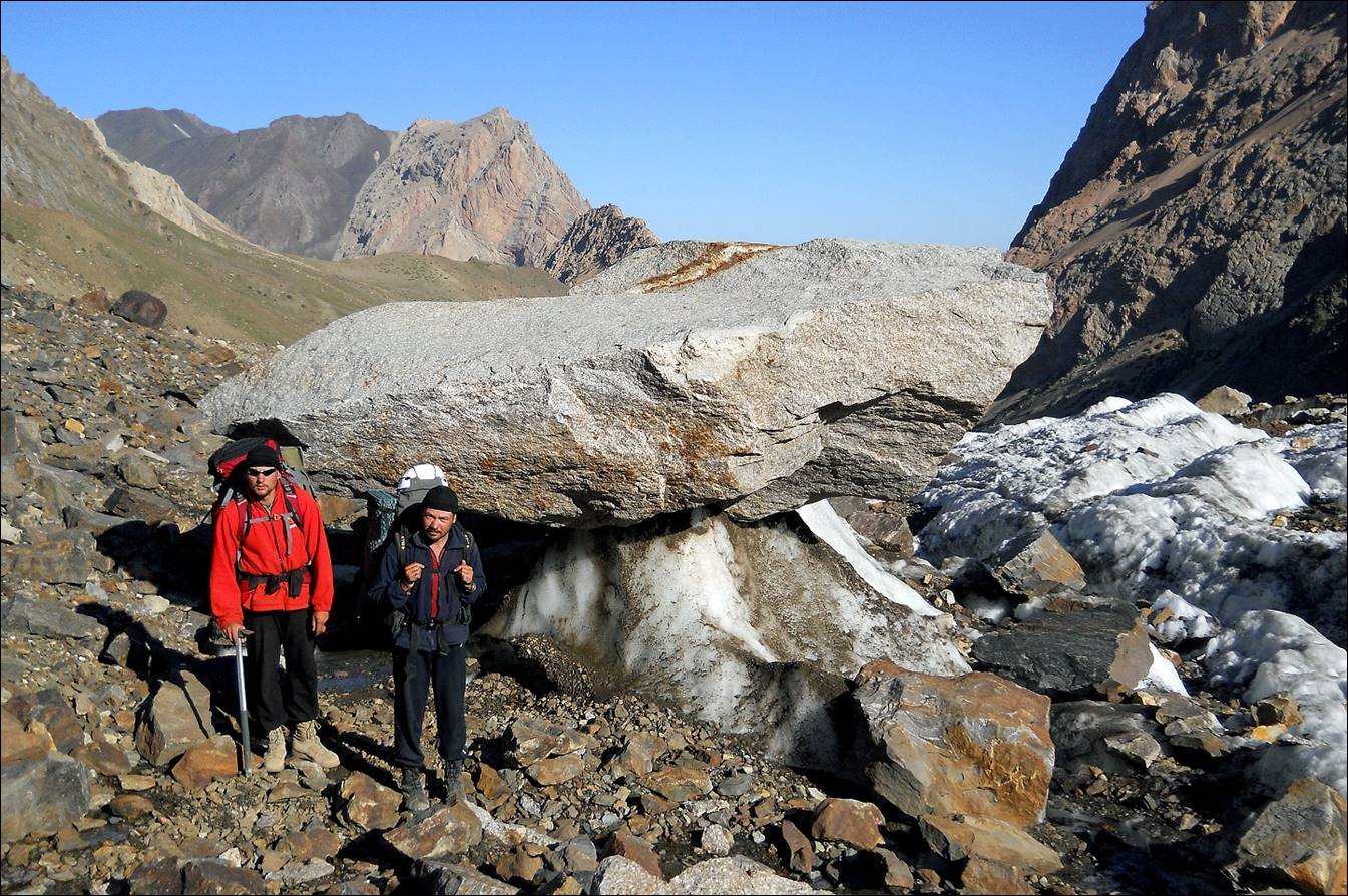
Further up near Minteke
Yyniy pass.
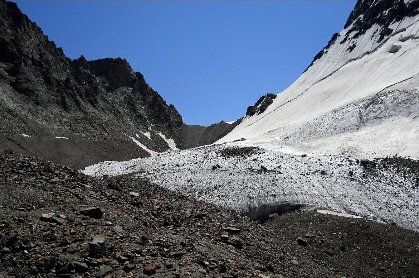
Reaching Minteke
Yyniy pass (4180m).
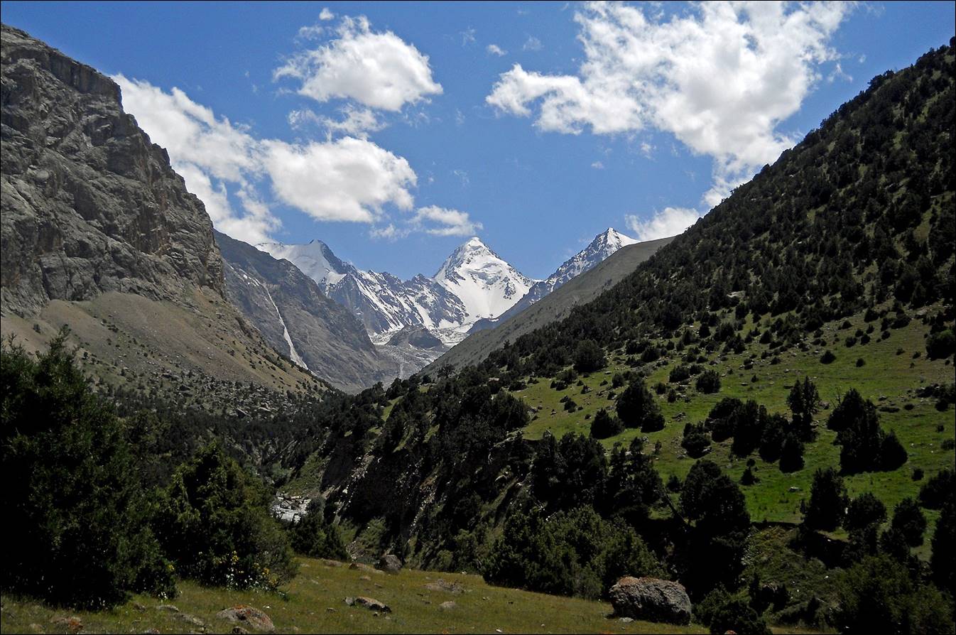
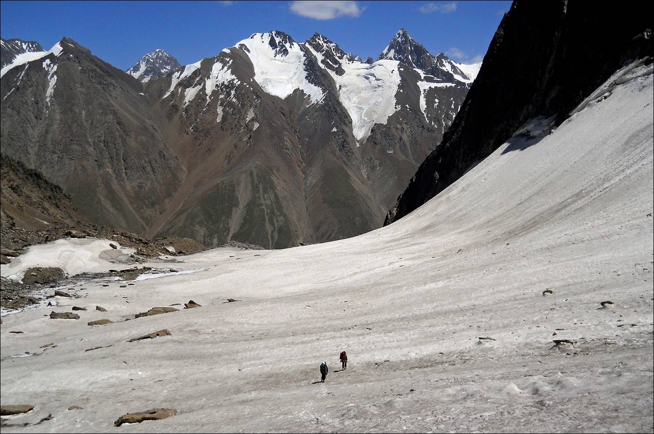
Descending into Djiptyk valley from Minteke Yyniy pass.
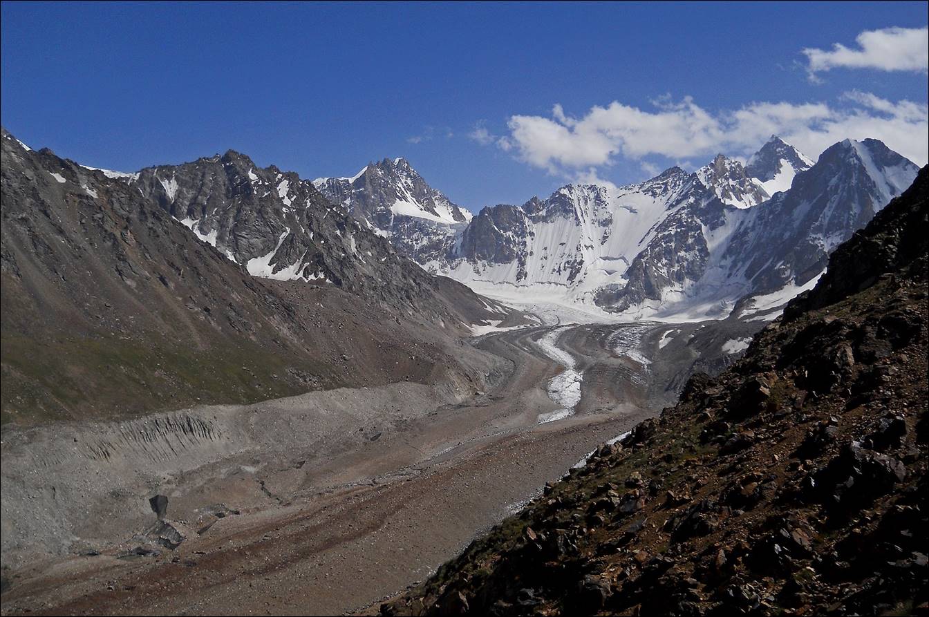
Above Djiptyk valley, with Shirovsky glacier in its upper part.
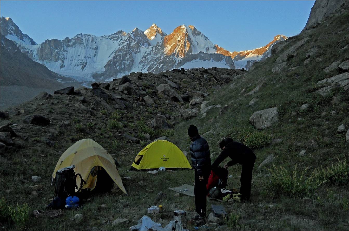
Our camp in a ″pocket″ on
the side of Shirovsky
glacier.
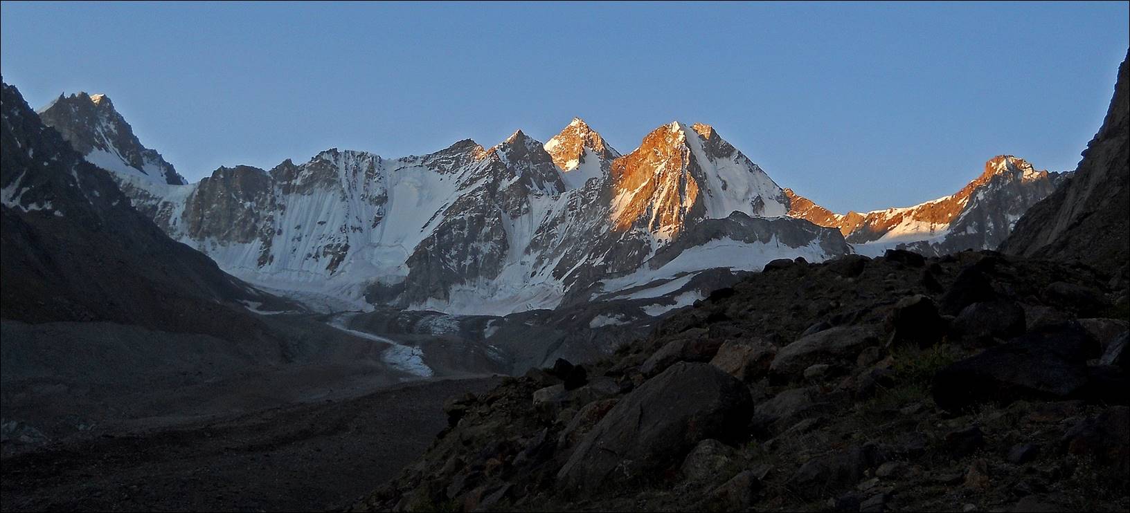
Sunrise over the peaks above Shirovsky glacier.
![]()