Across Ladakh and Zanskar
(July-September 2013):
7. Zara Chu to Padum
![]()
|
|
|

So, we
backtracked from Zara Chu and crossed Gotunda La and Nialo Kontse La in reverse to
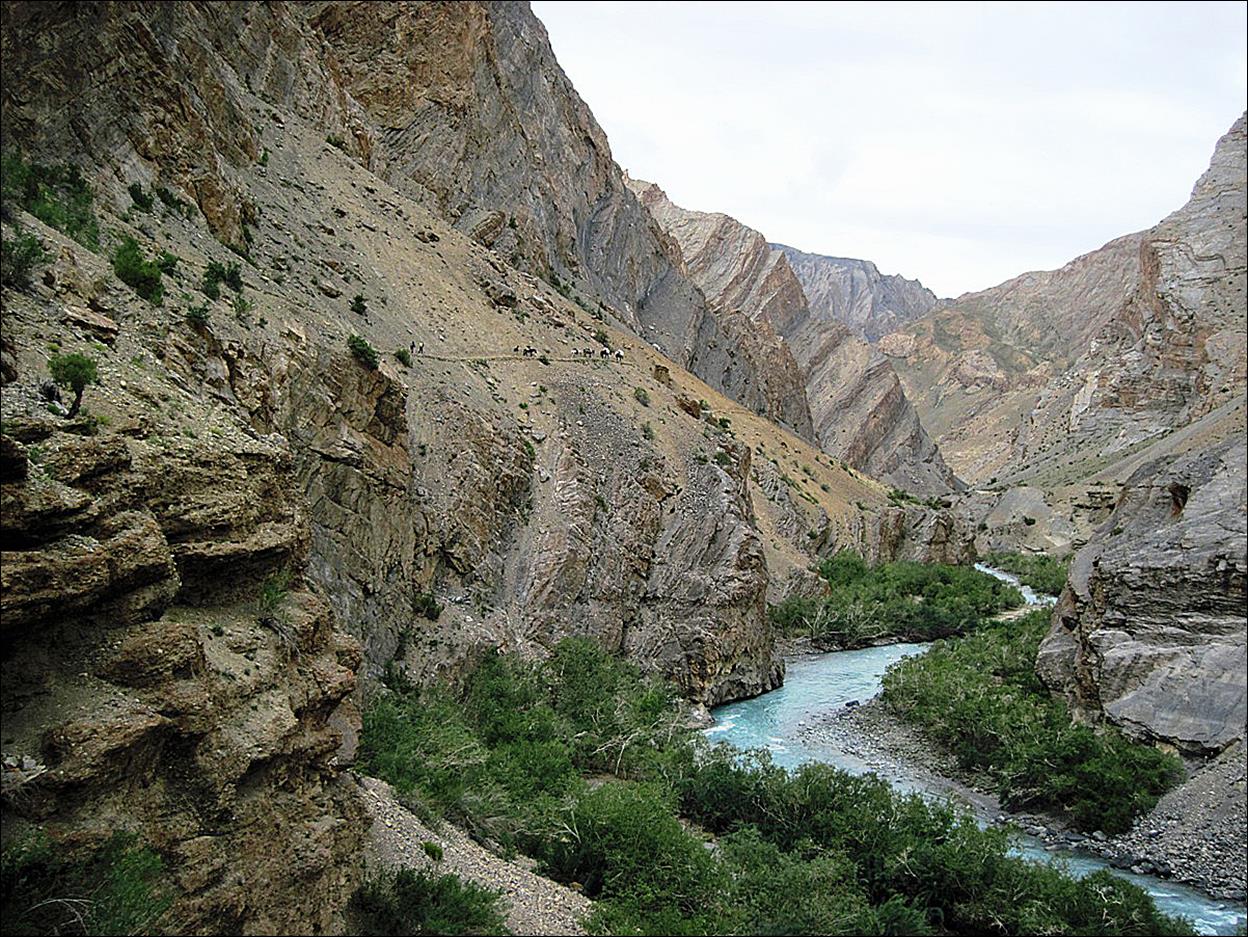
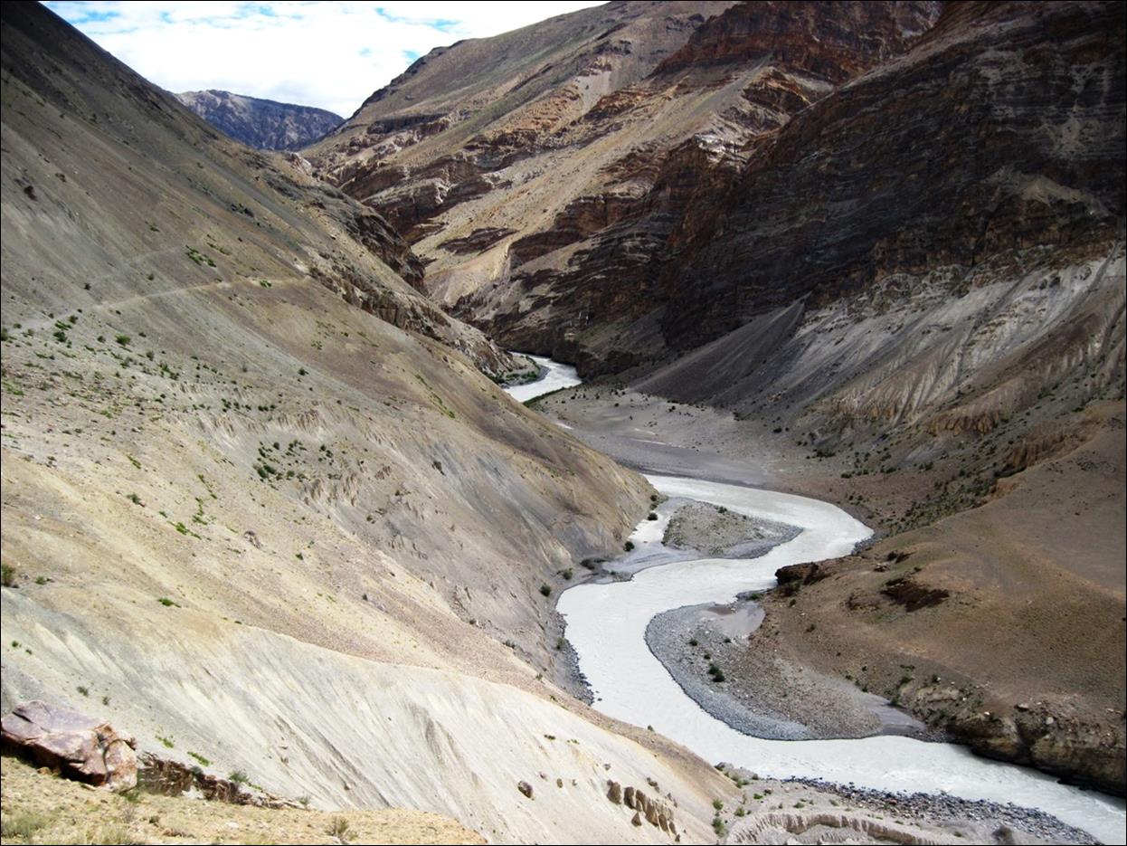
reach the Niri Chu river.
Niri Chu river. The trail is visible on the
left above the river.
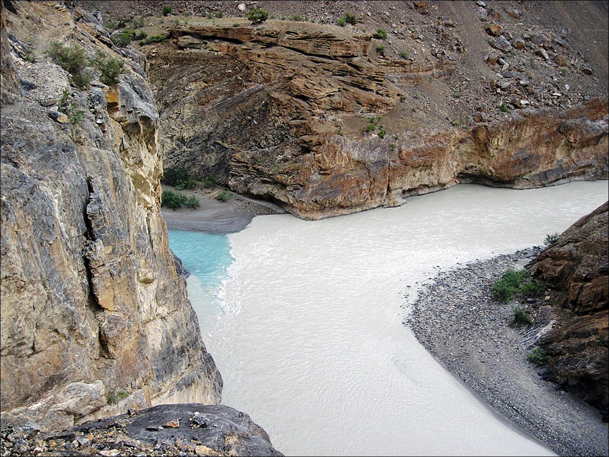
The confluence
of the Niri Chu (blue) and the Tsarap Chu (brown).
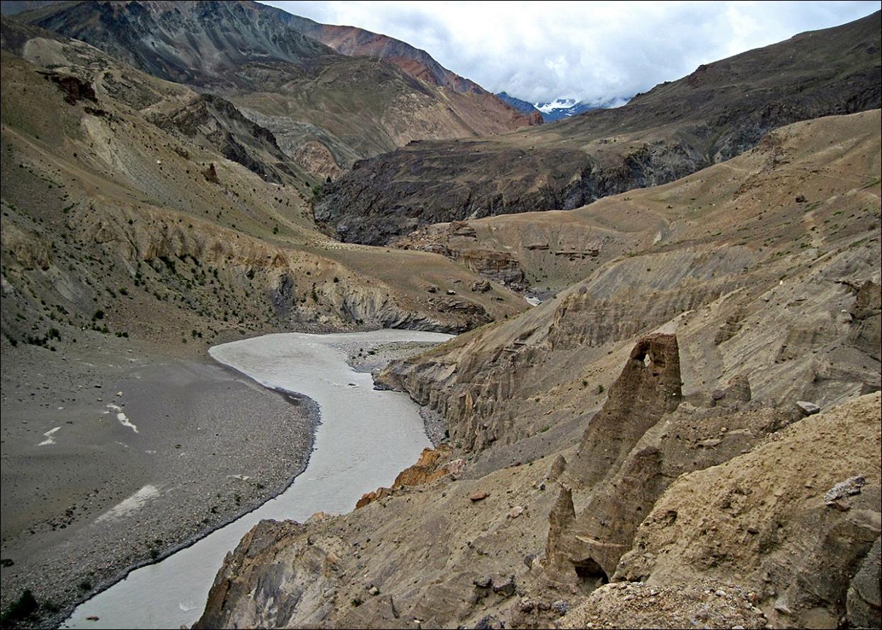
Along the
Tsarap Chu.
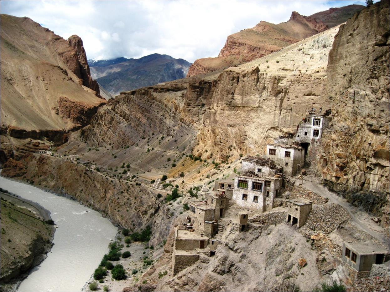
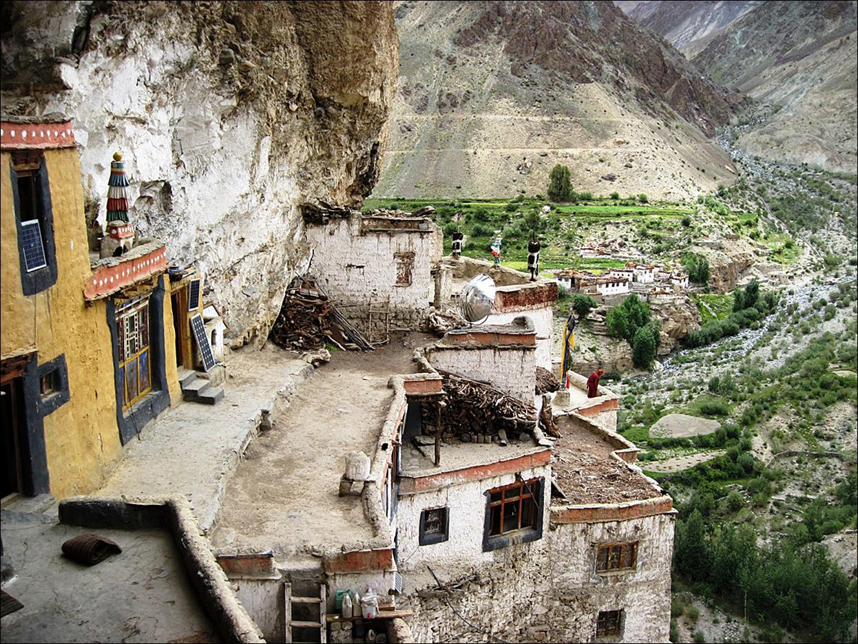
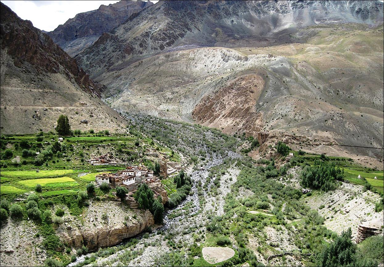
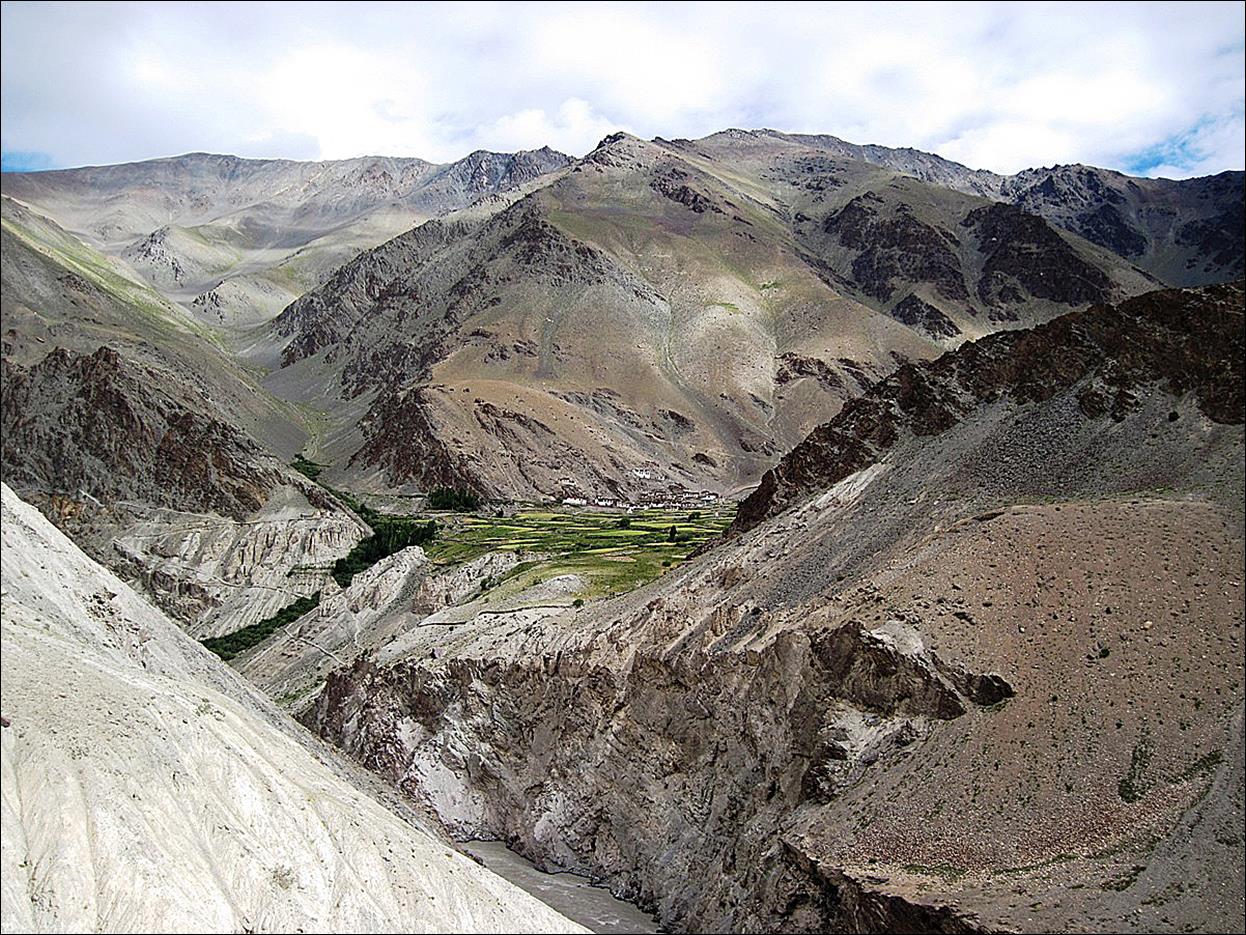
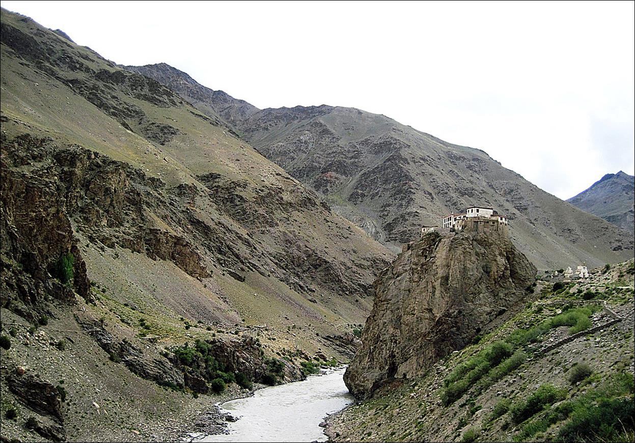
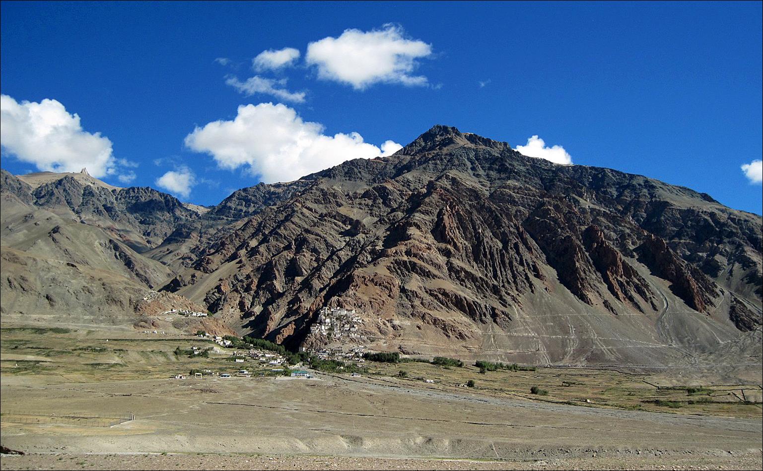
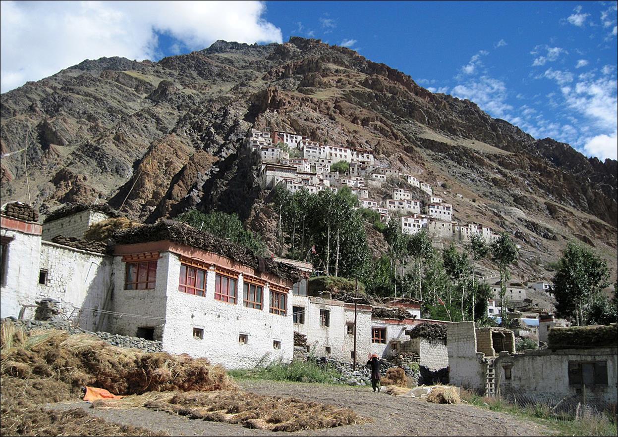
First sight of
Phukdal monastery above the Tsarap Chu.
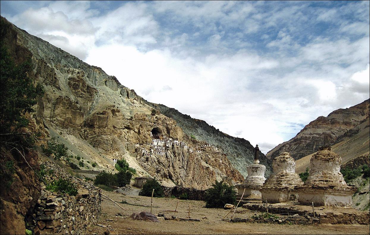
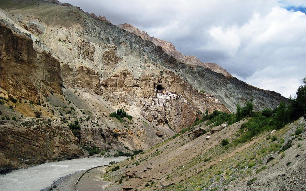
Panoramic
views of Phukdal monastery.

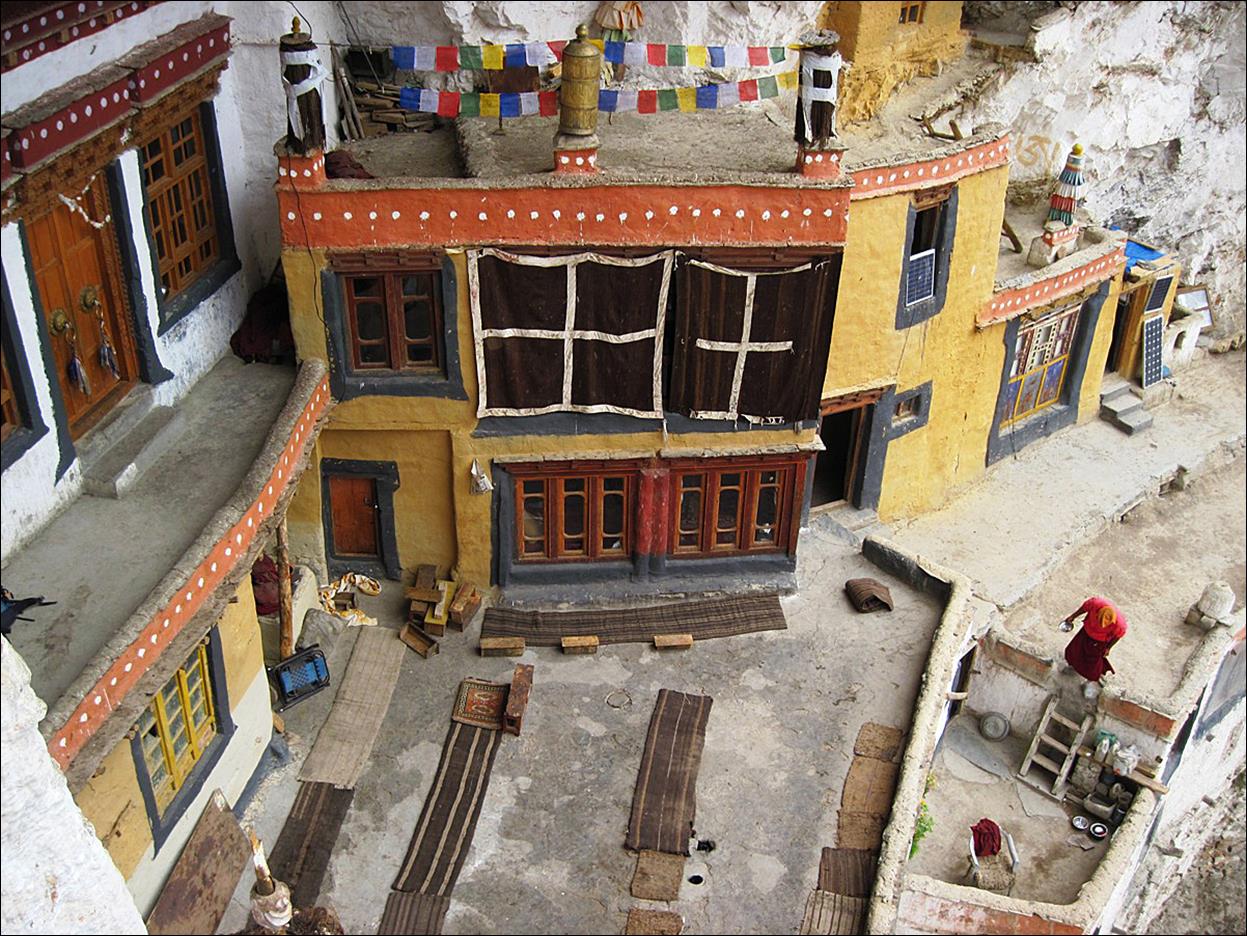
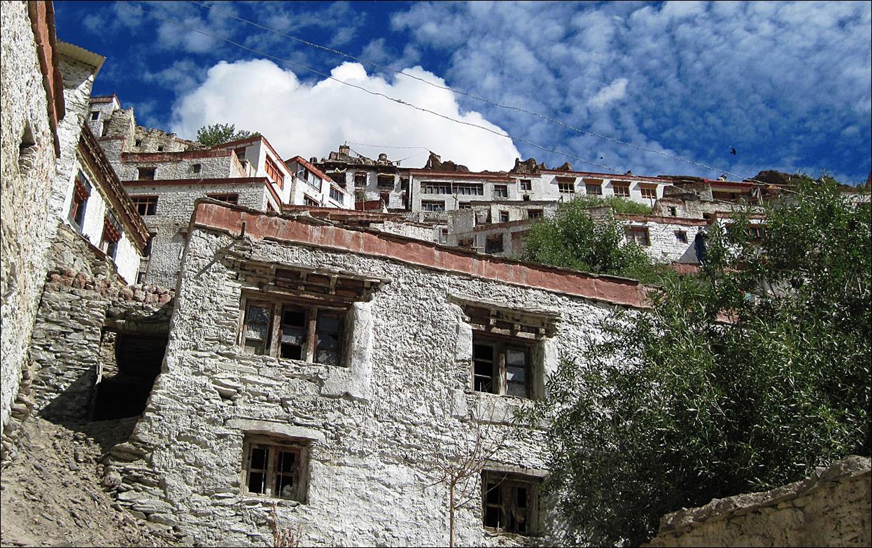
Inside Phukdal monastery.
|
|
|

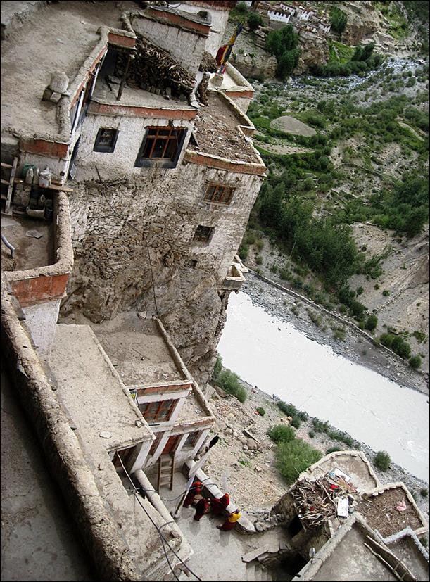
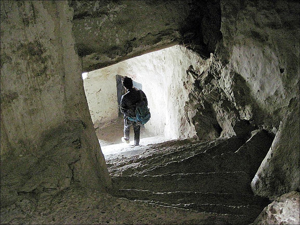
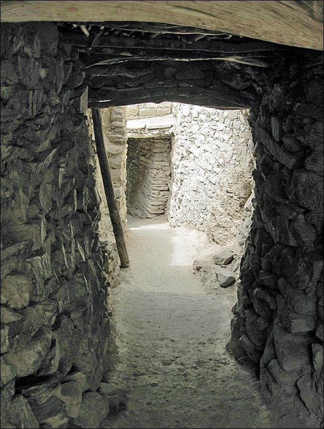
The various
parts of the monastery are connected by tunnels and narrow stairways.
|
|
|
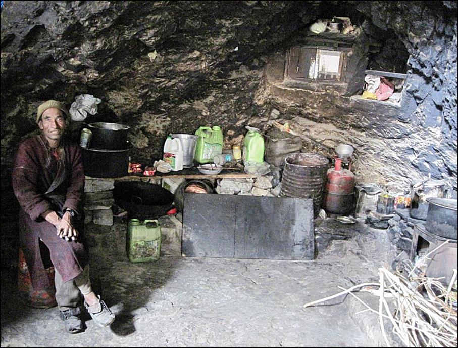
In the
kitchen.
|
|
|

Two monks who
went for an afternoon stroll outside the monastery.

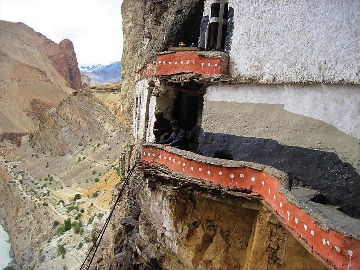
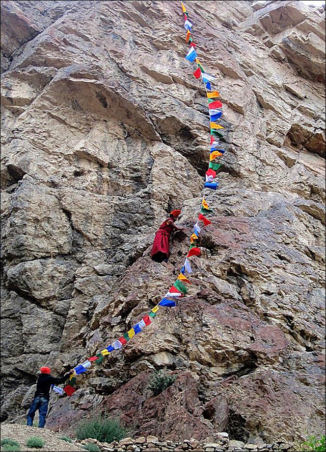
This monk is
more athletic and takes big risks to set up prayer flags on a vertical cliff.
|
|
|

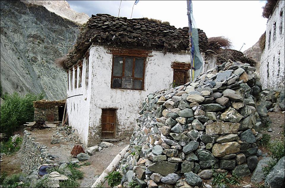
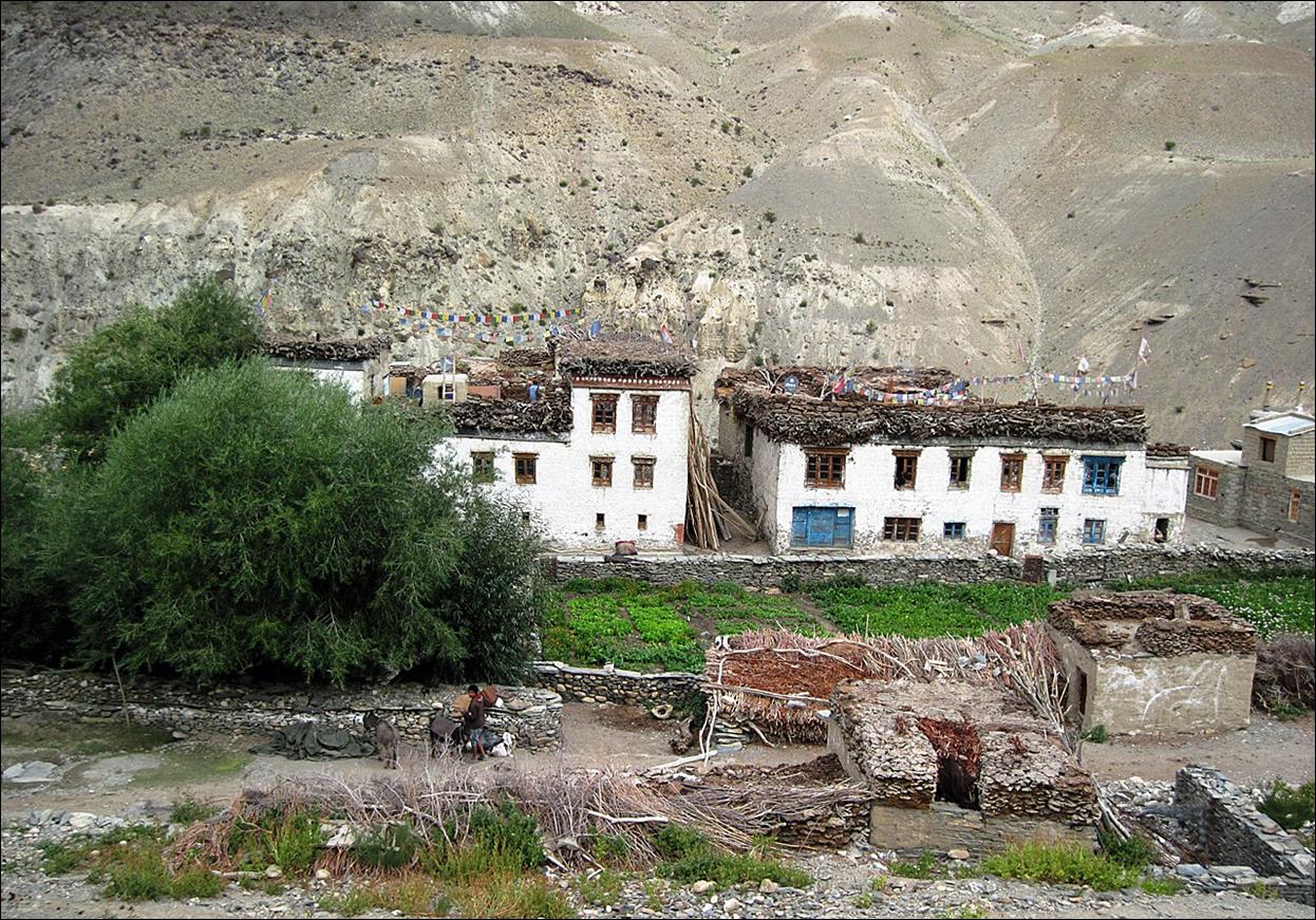
Small village
of Yugar, opposite to the monastery across the Tsarap
Chu.
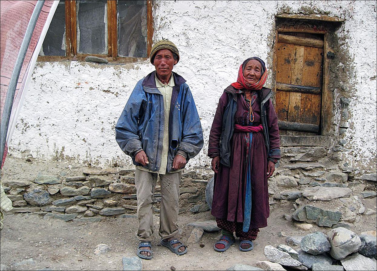
In the village
of Yugar.
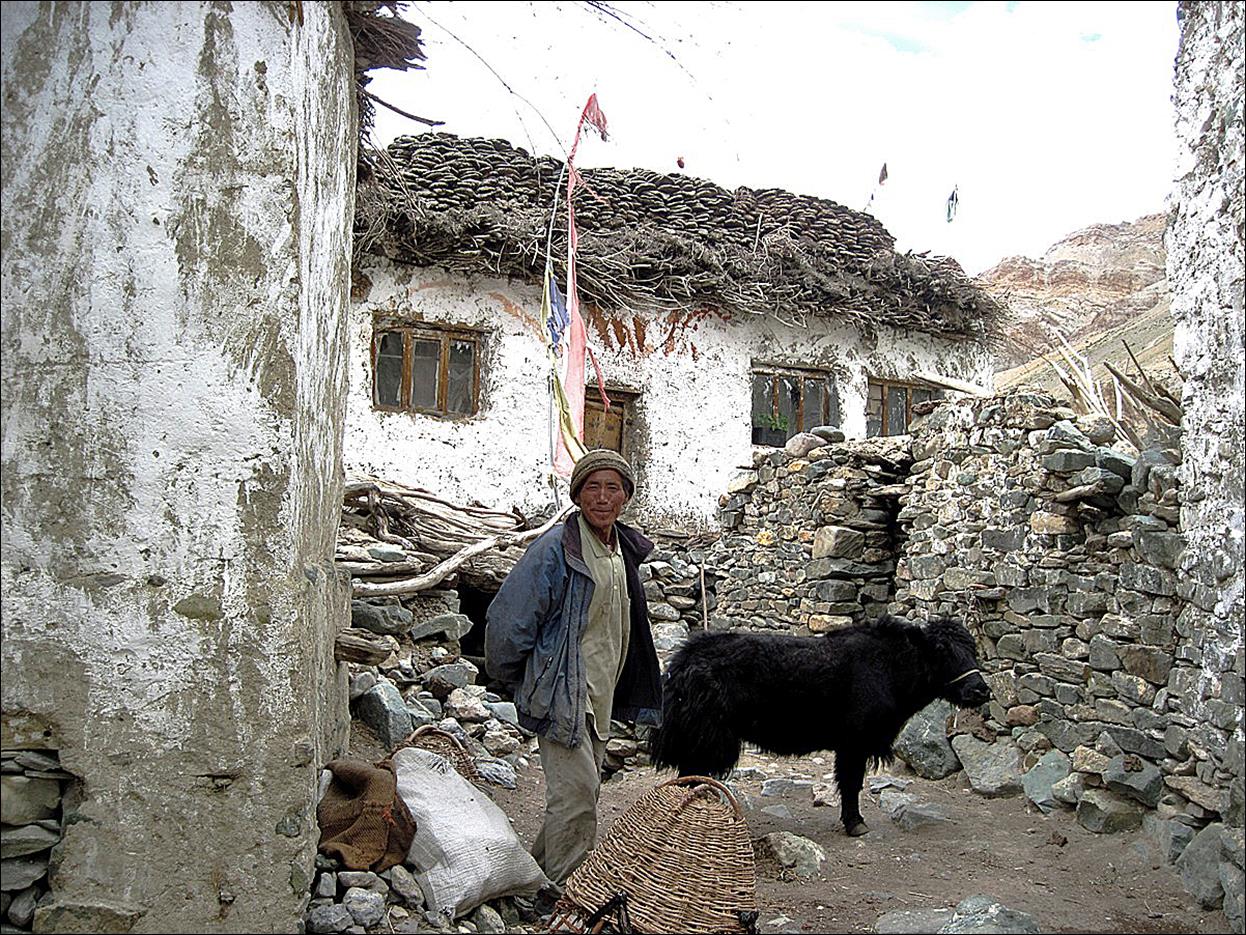
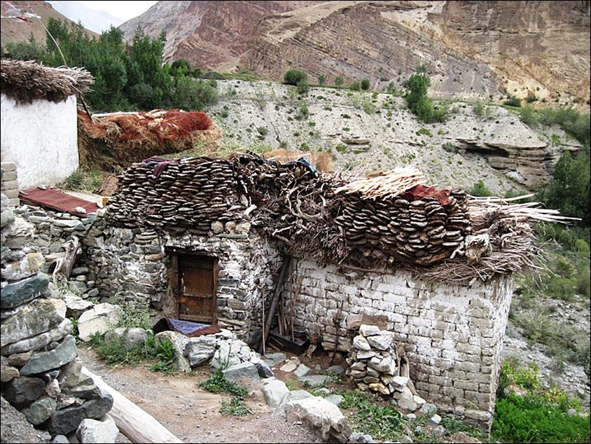
The roofs of
the houses in Yugar were already well equipped with
dung patties and wood for the winter.
|
|
|
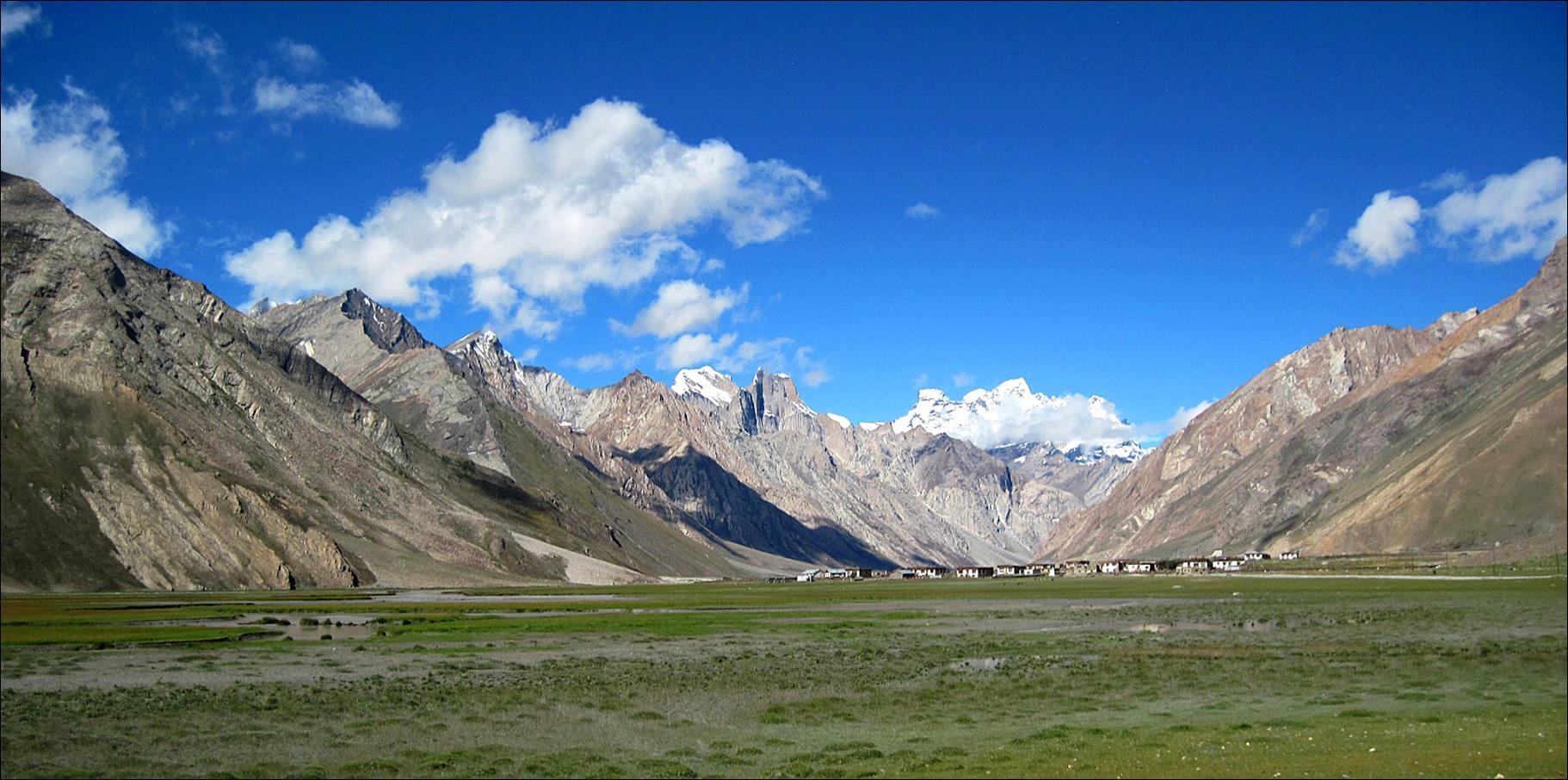
In the village
of Purna at the confluence of Tsarap Chu and Kargyag Chu.
Village of
Cha.
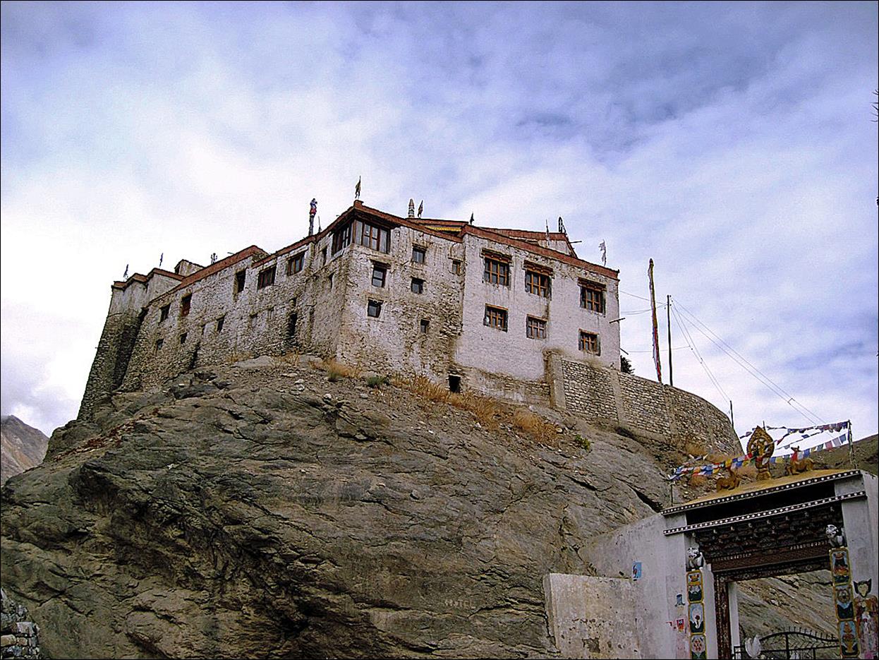
Bardan gompa.
In the main
street of Padum.
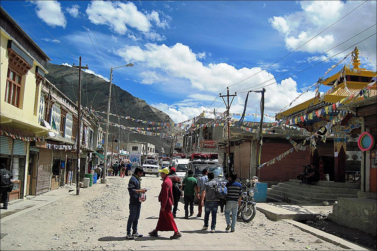
The large
prayer wheel in the main street.

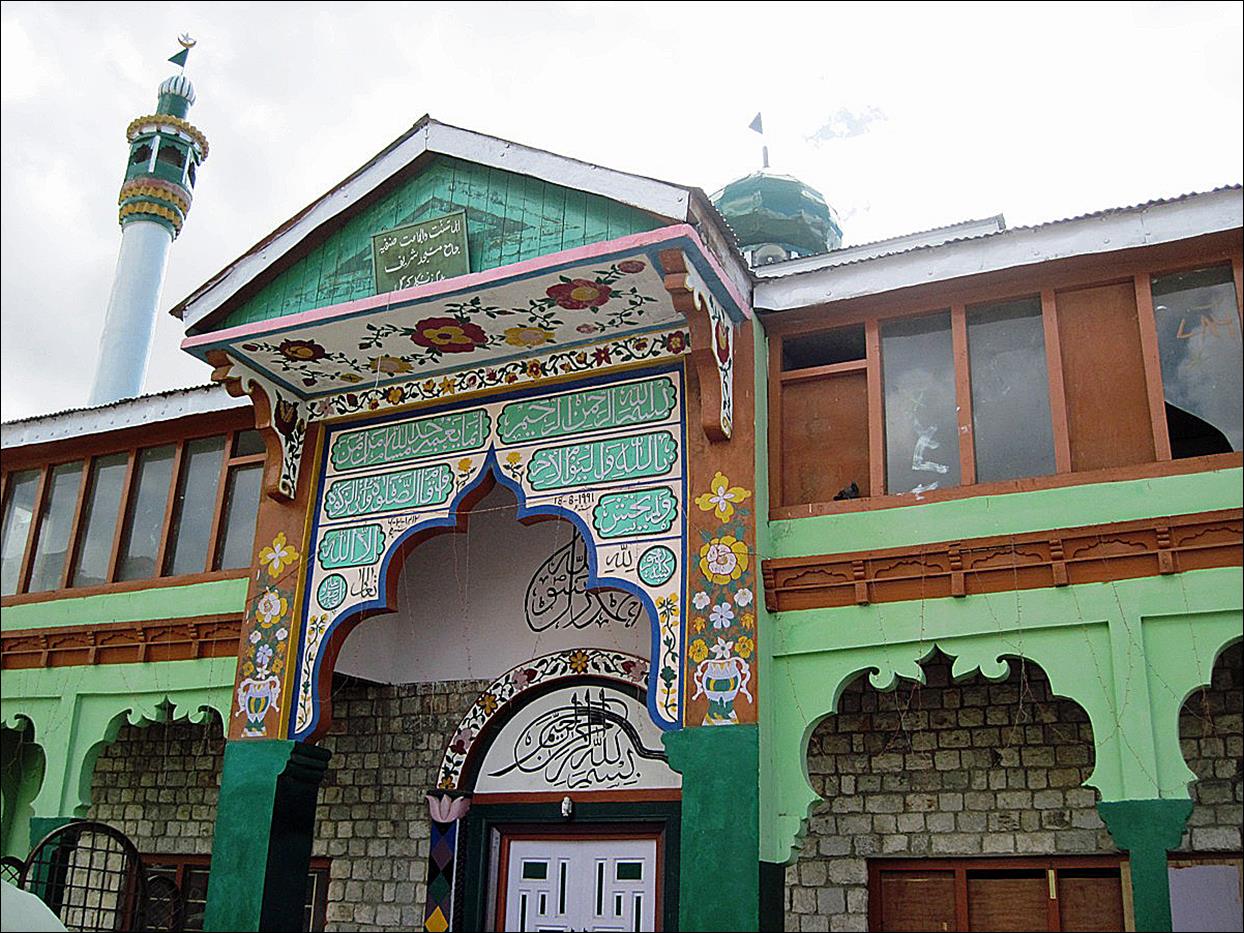
The mosque of Padum. Although predominantly Buddhist, Padum
(like Leh) has a relatively large Muslim community.
View from the
old part of Padum toward the north. The gompa of Pibiting is visible on top
of the small conic hill in the middle of the photo.
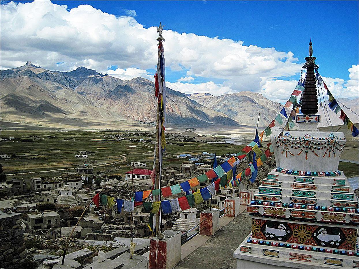
We stayed in Padum one full day, during which I hiked to the Karsha monastery (in the middle of the photo below)
In Padum our horseman left us and went back to his village
along the Zanskar river. The
rest of us returned to Leh by car. It was a strenuous
17-hour, 250-km drive (over 2 days) through Kargil (a
strategic town located a few kilometers away from the ′line of control′
separating Pakistan and India). But this drive offers some spectacular scenery.
The Darung Drung glacier and Z3 peak
(6300m) seen from the road at Pentse La (4400m, pass
#18).

Village of Rangdum, with the Nun Kun massif (7135m) visible just above
it (but partially in the clouds).
Other trek sections:
![]()