Morocco (May 2017):
Hiking in the Al Hoceima National Park and the Rif Mountains (Part 1/2)

Back
to main Morocco 2017 page | Back to my
mountaineering/trekking/travel webpage
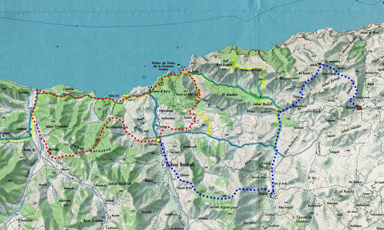
This page shows photos of the
counterclockwise circuit shown in red in the map below, with a start/finish at
the yellow dot in the Beni Boufrah
valley. Click here
(.kmz file) to access recorded GPS waypoints in
Google Earth and here
to download topographic maps of Morocco.
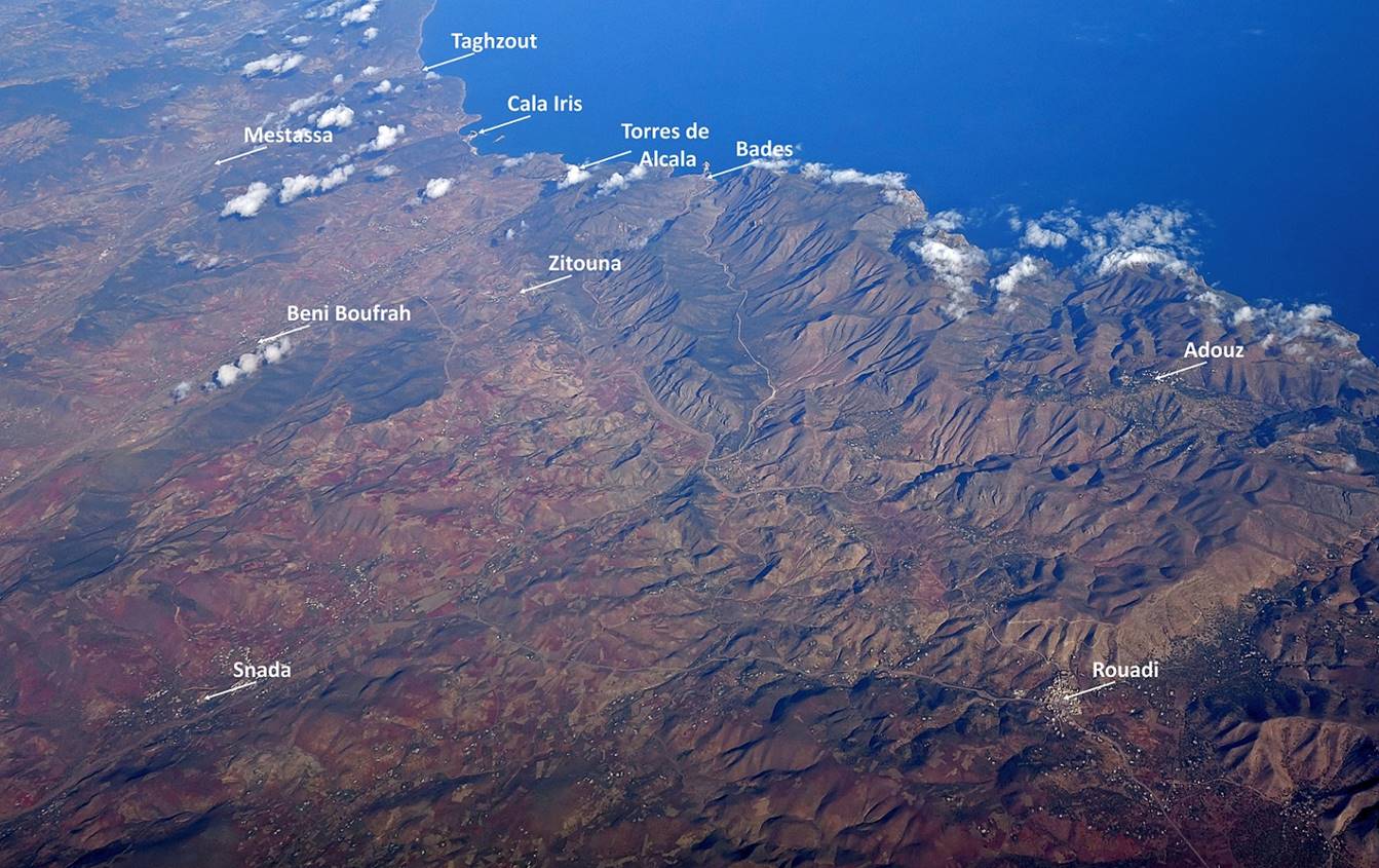
Annotated photo of the area taken during
the flight from Paris to Fez.
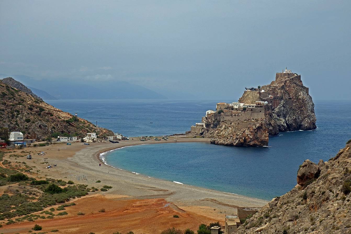
Gulf of Al Hoceima
(not in the map shown above). The three tiny islets are Spanish territory. Only
one, El Penon de Alhucemas,
is inhabited (by Spanish military personnel).
|
|
|
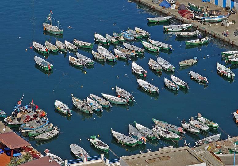
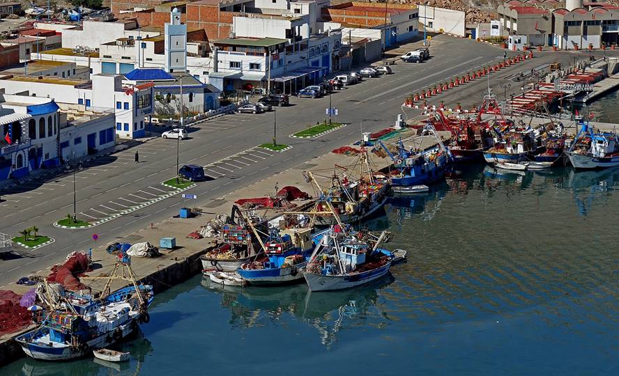
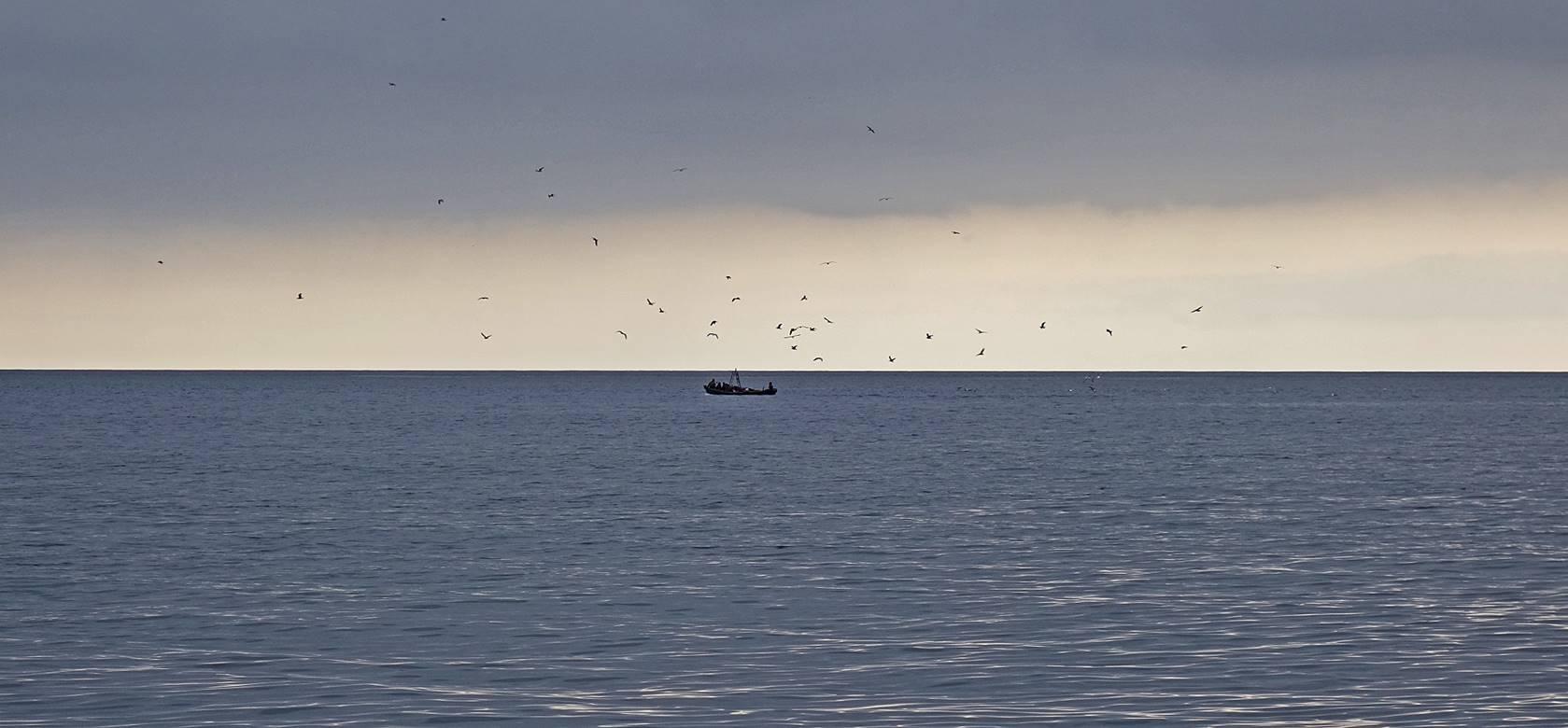
Fishing port of Al Hoceima.
Sardine is the main catch.
|
|
|
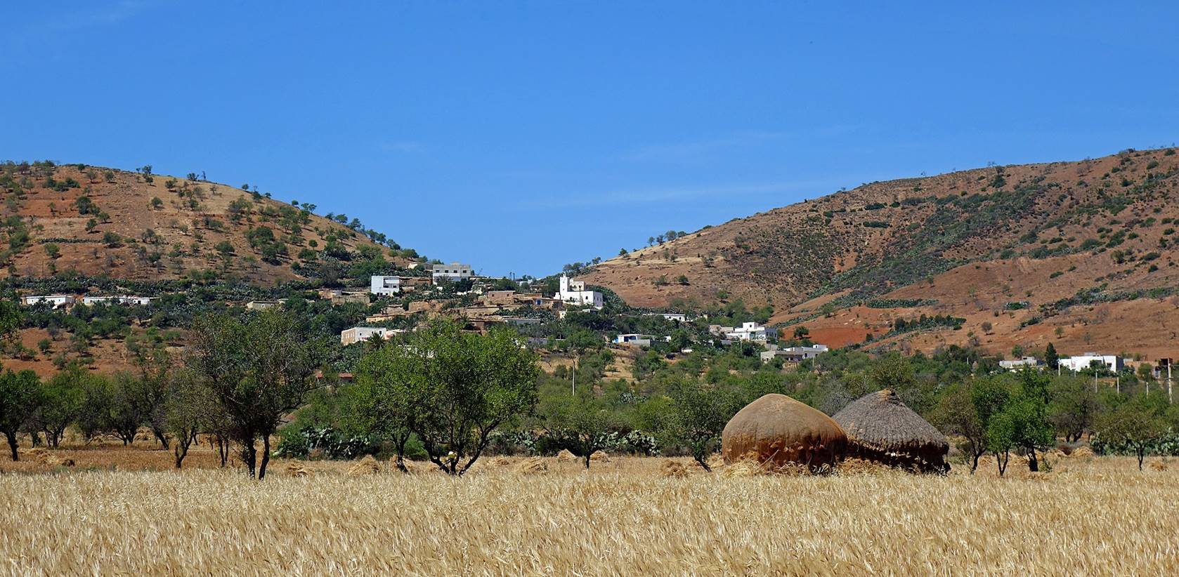
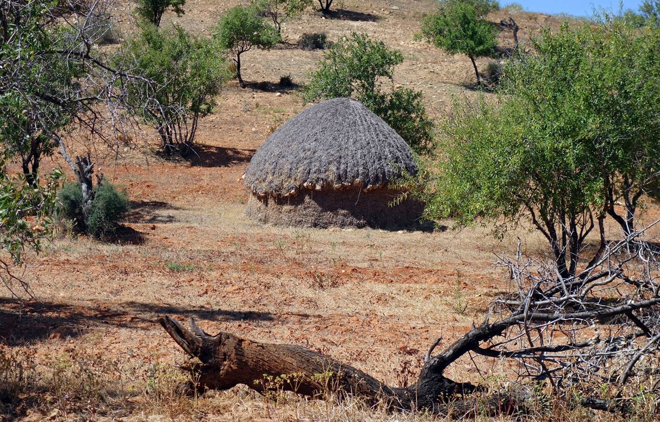
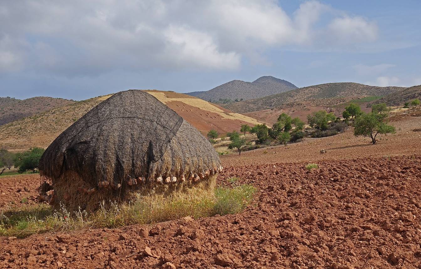
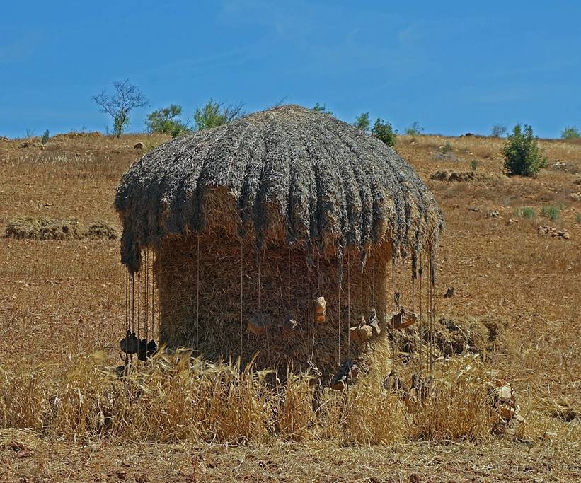
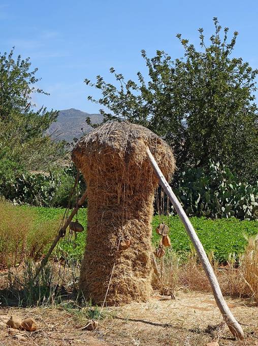
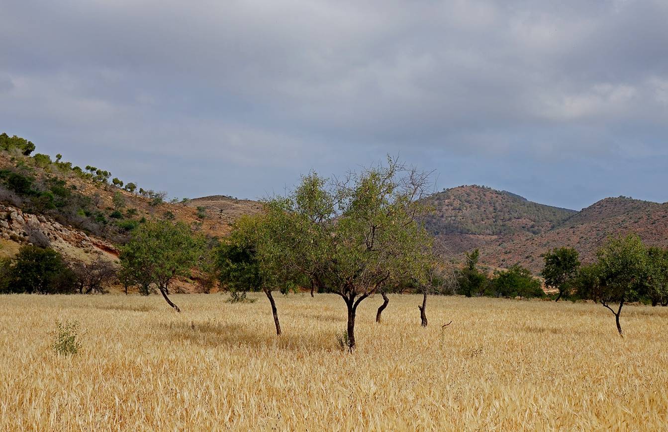
In the valley of Beni
Boufrah, near the start of the circuit, with its
typical haystacks.
|
|
|
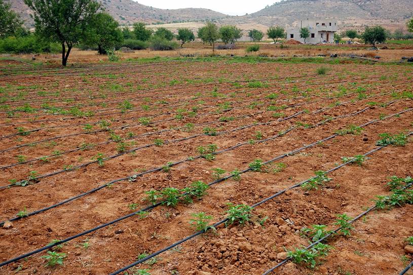
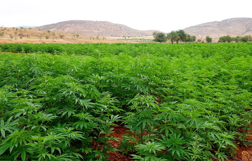
Plantations of cannabis. Cannabis is
cultivated over most of the Rif mountains; it is a
major source of revenue for local farmers.
|
|
|
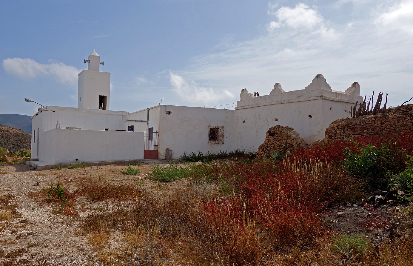
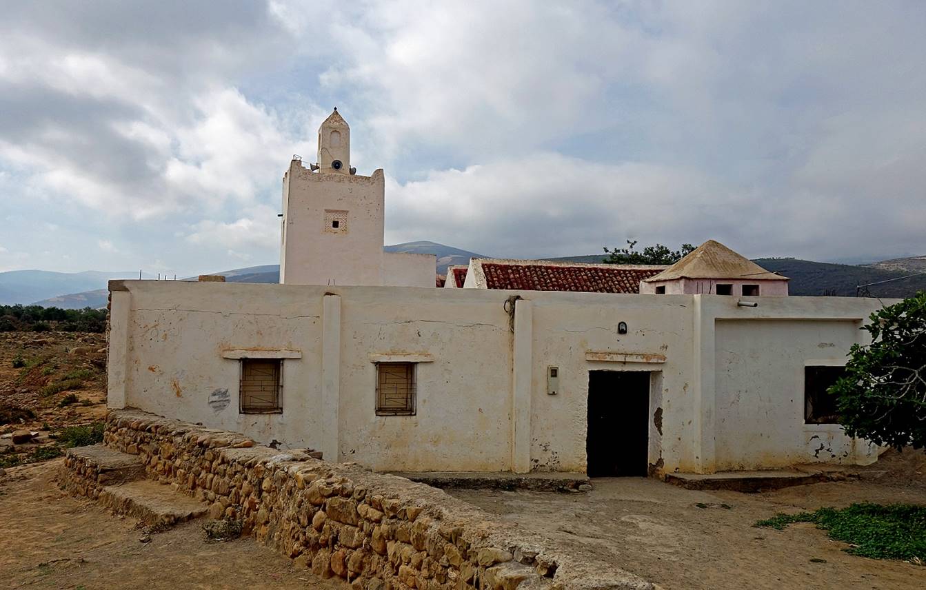
Mosque and marabout (tomb of a locally
revered person) of Zitouna. The mosque is new, but
the marabout is several centuries old.
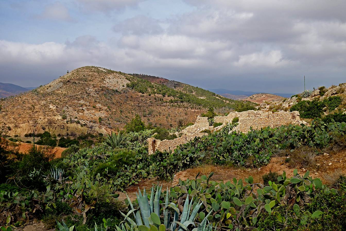
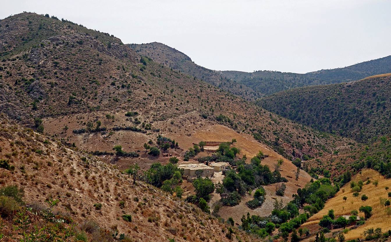
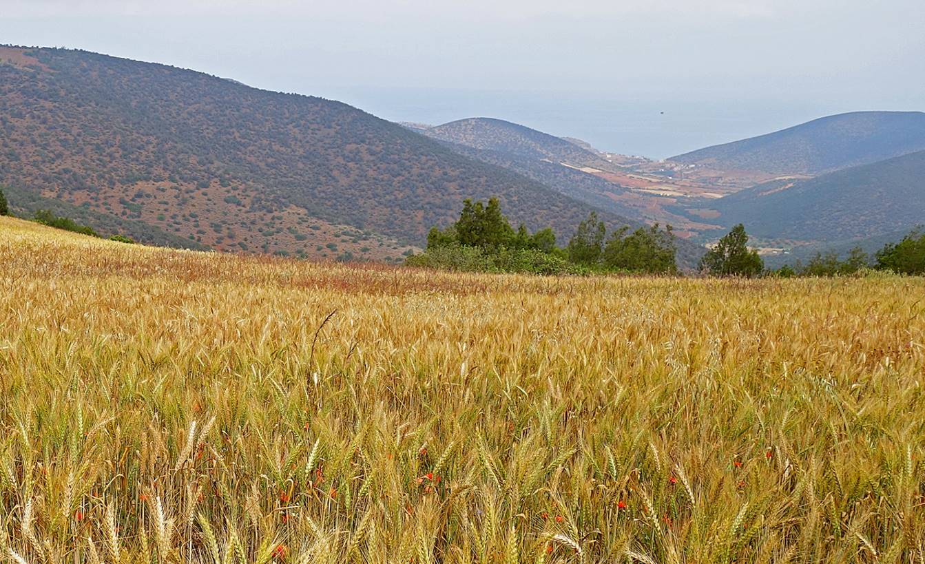
Farm in the coastal mountains.
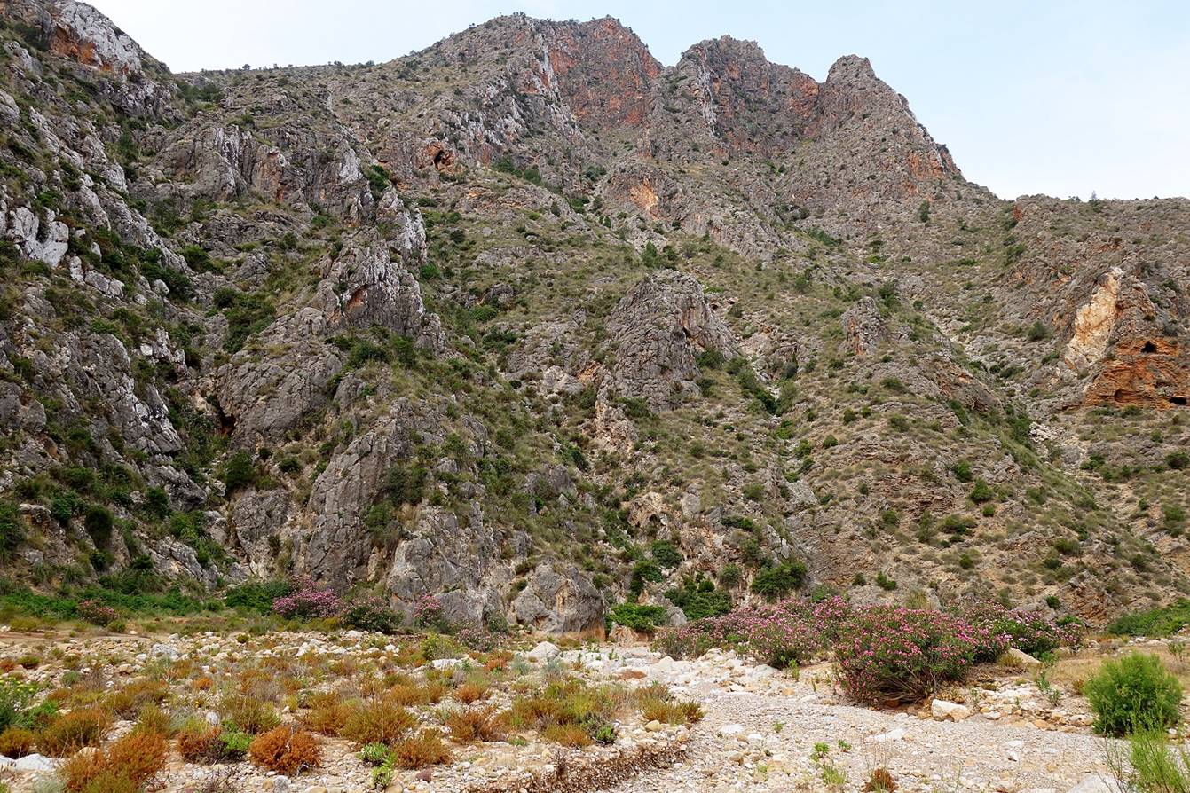
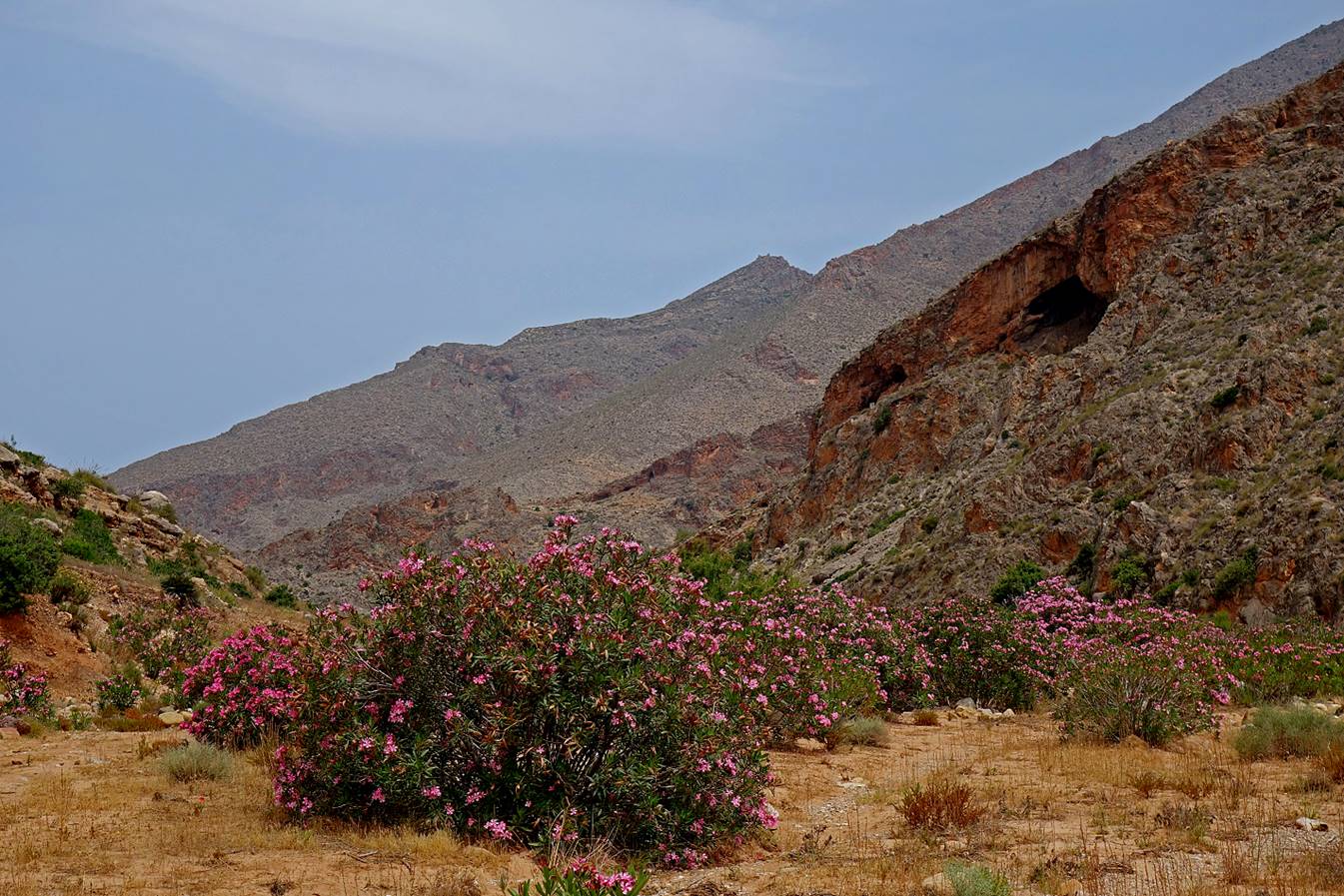
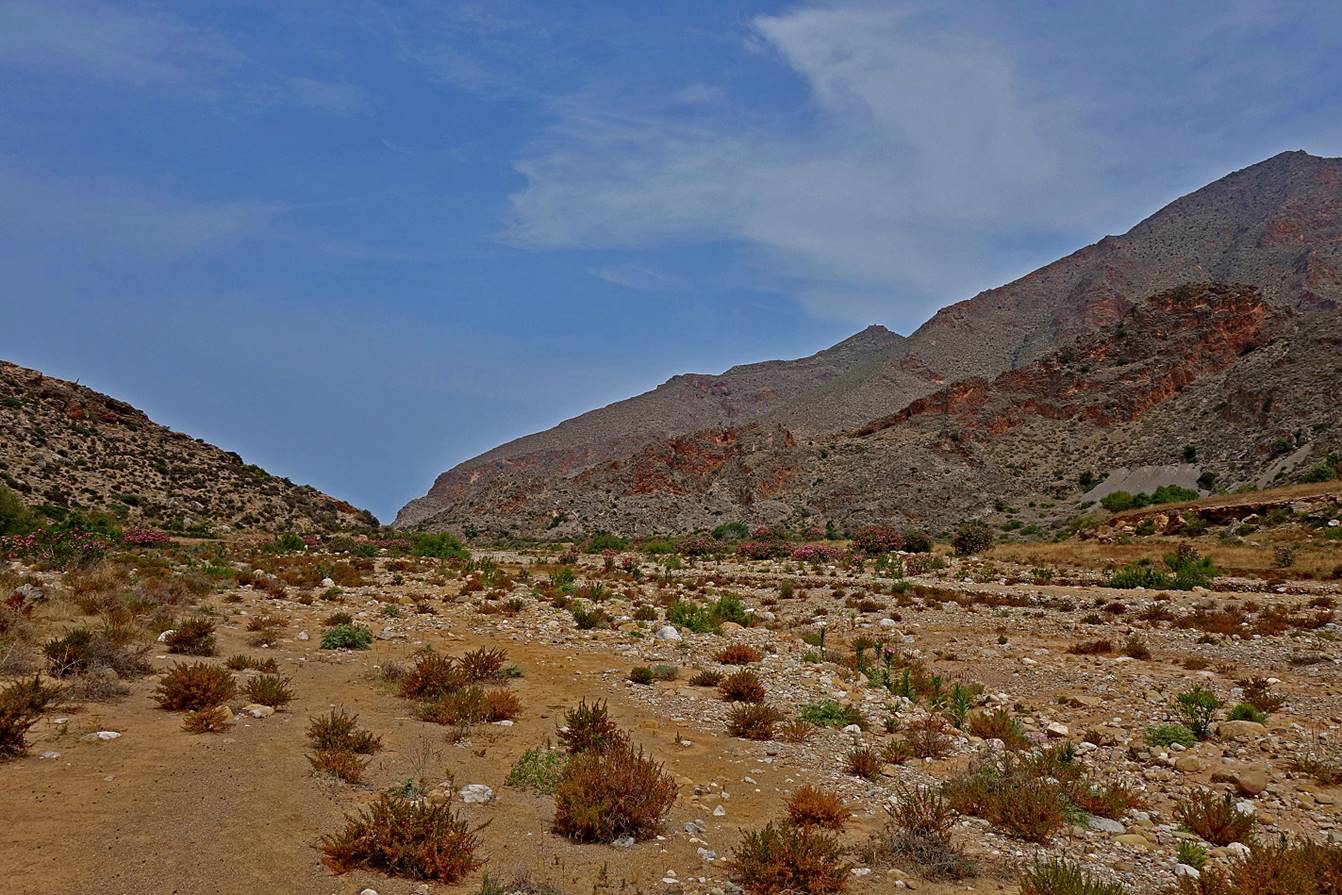
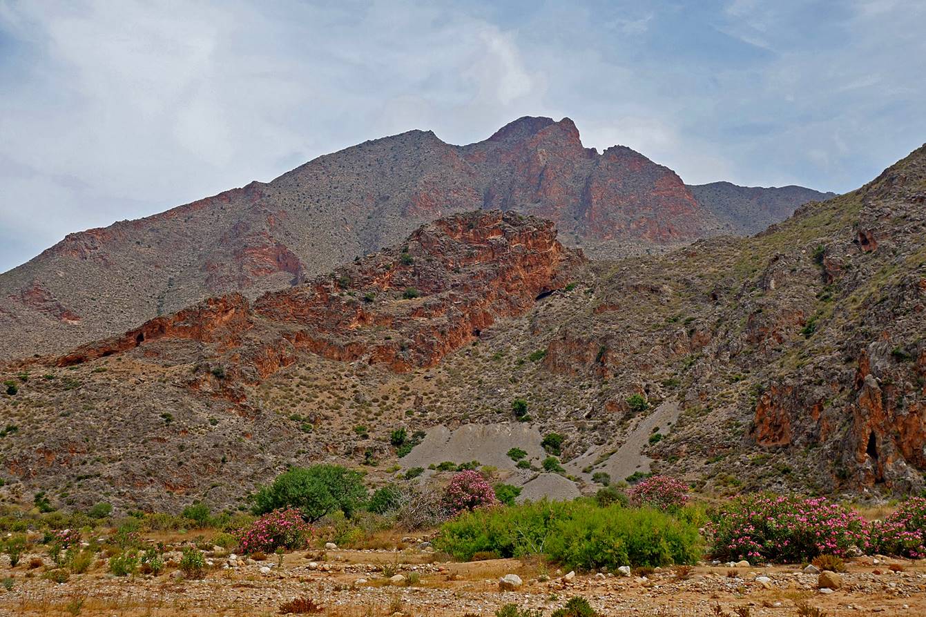
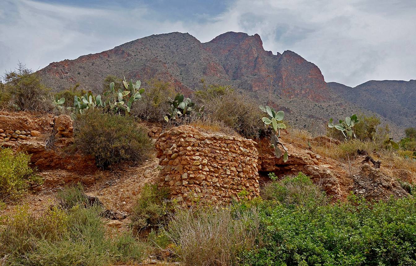
View from a pass over the canyon leading
to Bades.
In the canyon leading to Bades.
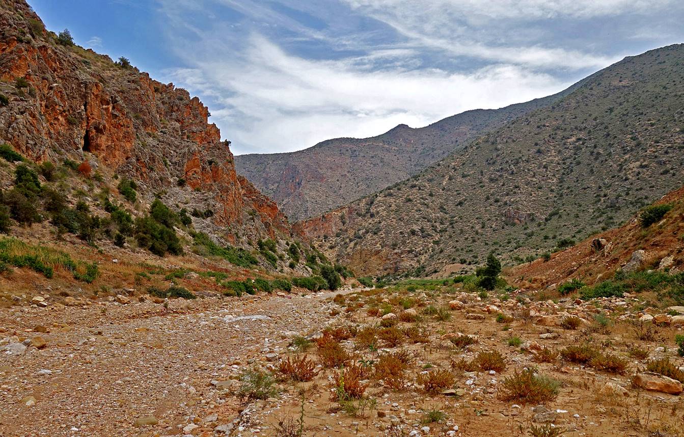
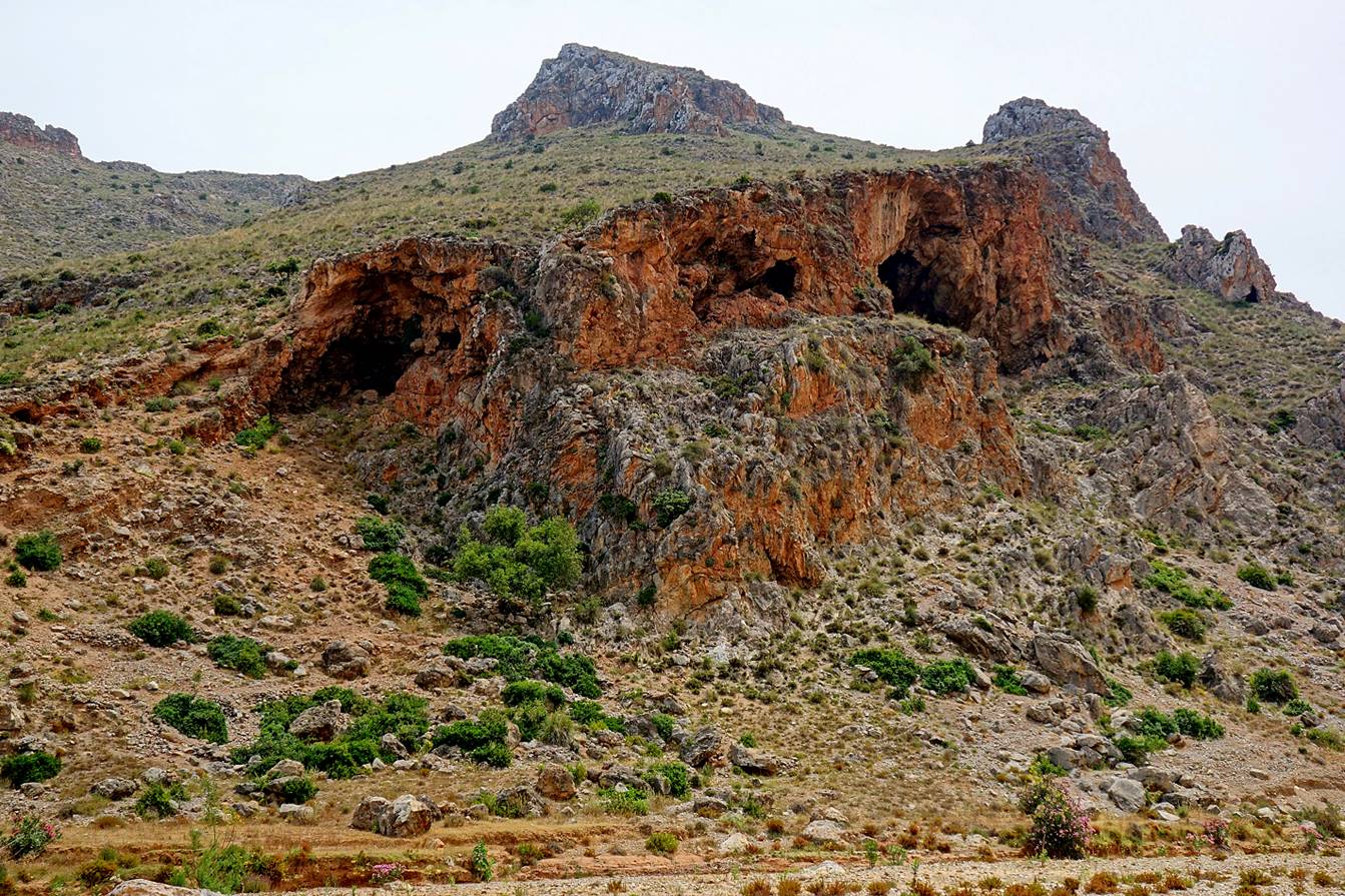
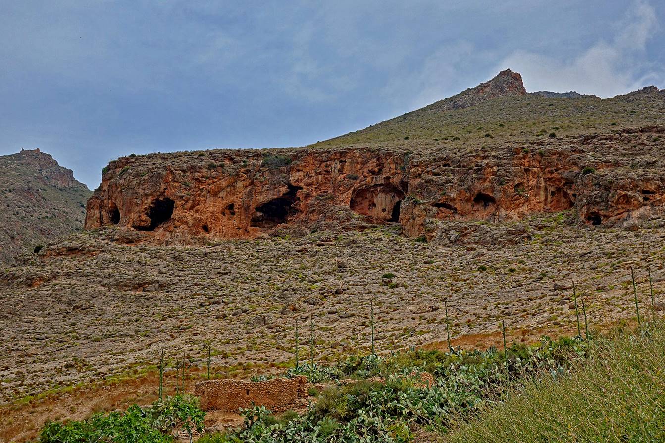
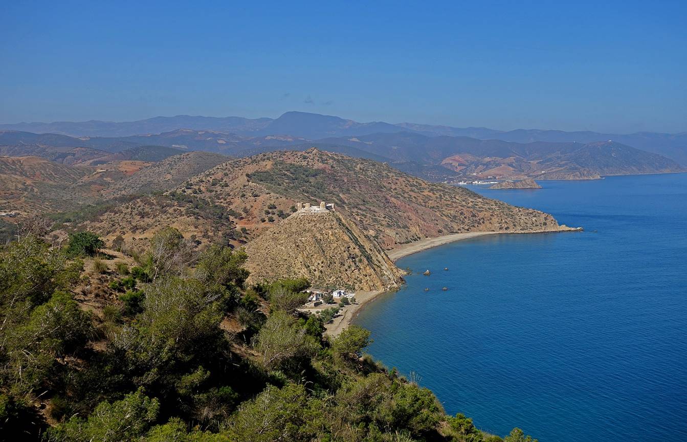
[A ruined
fort stands at the top of the hill on the left side of this photo. When Bades was an important port (see below), this fort was used
to guard the coast around Bades.]
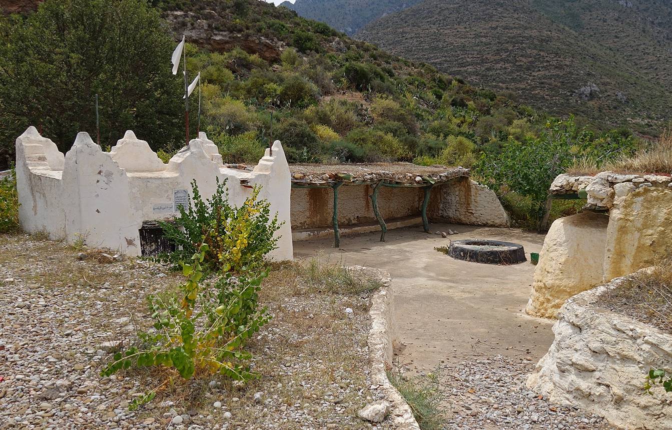
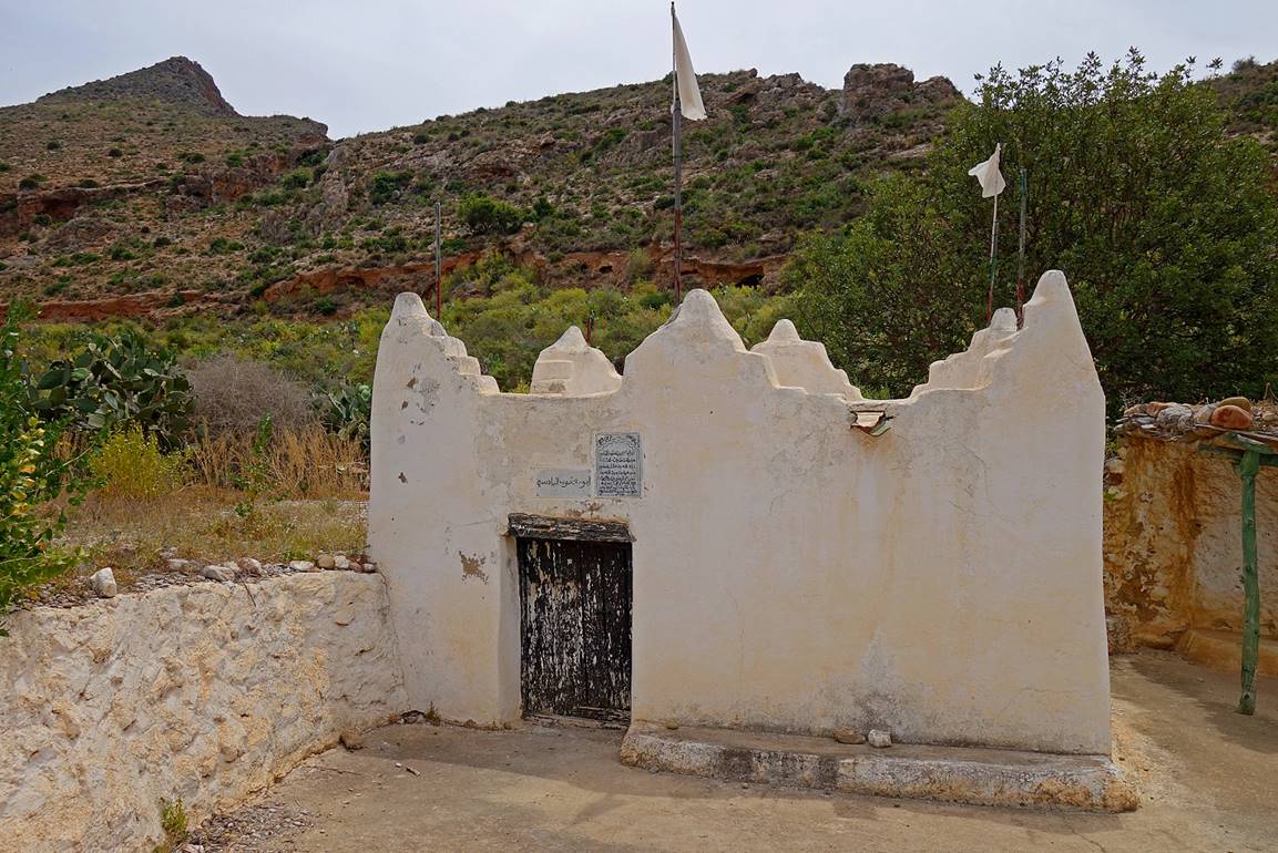
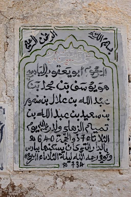
Marabout of Abou
Yakoub Al Badisi
(1219-1313), soon before reaching Bades. Abou Yakoub Al Badisi was the founder of Bades.
|
|
|
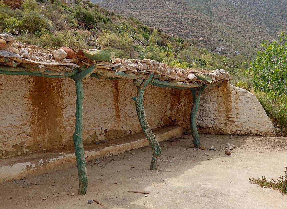
Covered area in the courtyard of the
marabout.
|
|
|

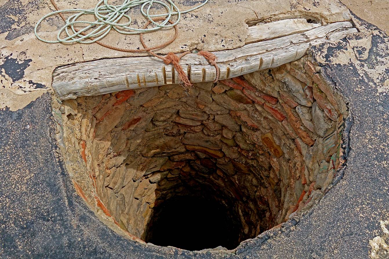
Well in the courtyard of the marabout.
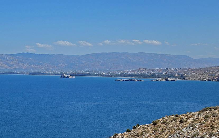
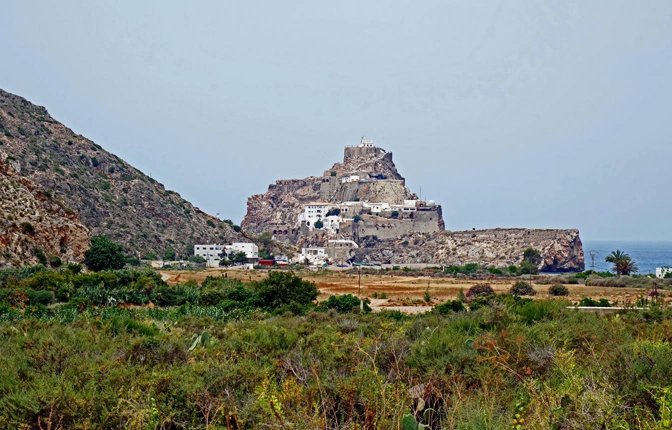
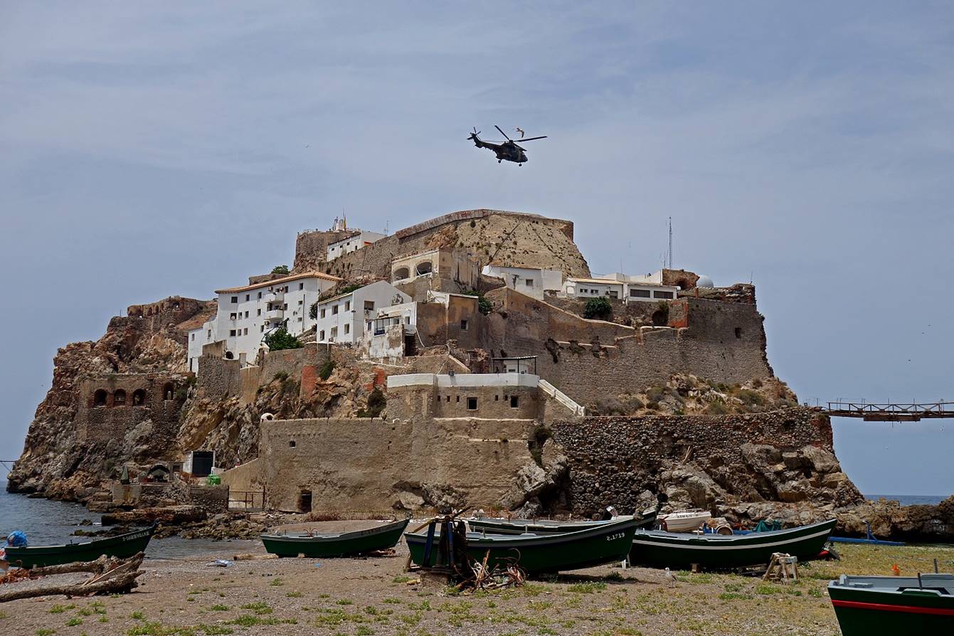
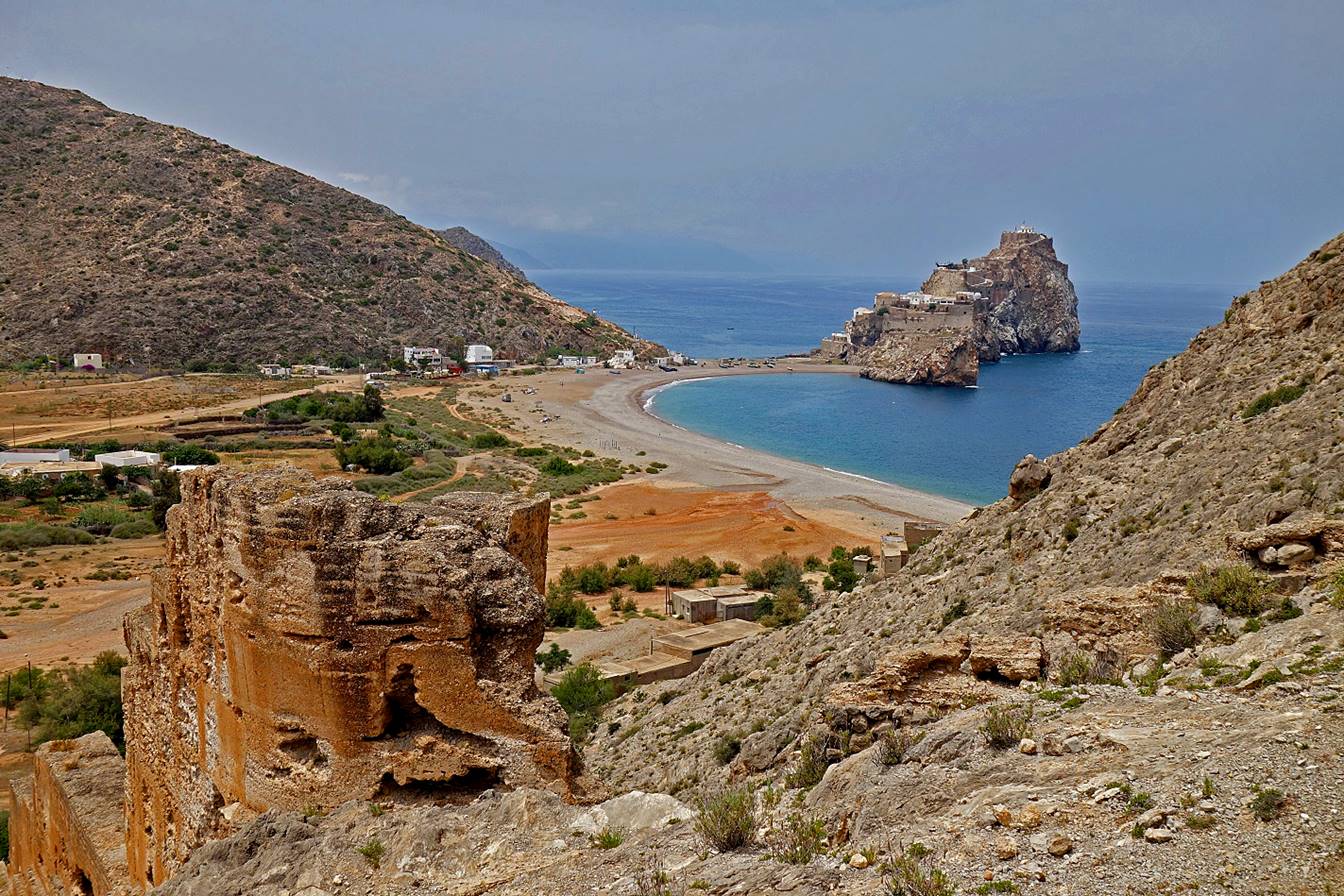
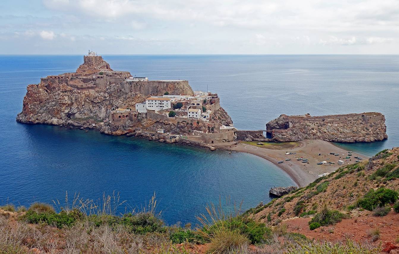
Reaching Bades,
with El Penon de Velez de la Gomera
in the background. Like El Penon de Alhucemas (in the Gulf of Al Hoceima),
El Penon de Velez de la Gomera
is Spanish territory. It was captured by the Spaniards in 1564 and has remained
under Spanish sovereignty since then. It is connected to the Moroccan shore by
an 85m narrow sandy isthmus and covers an area of 1.9ha. It is inhabited by
about 30 military personnel, who are periodically resupplied by helicopter and
boat.
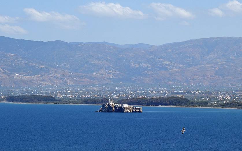
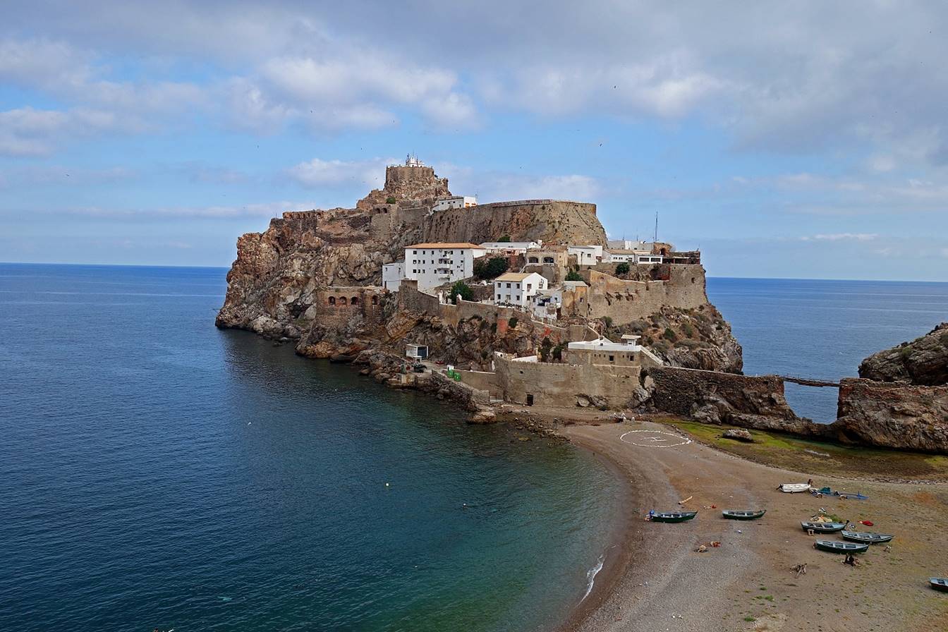
Views of El Penon de Velez de la Gomera. Note the helicopter on the helipad.
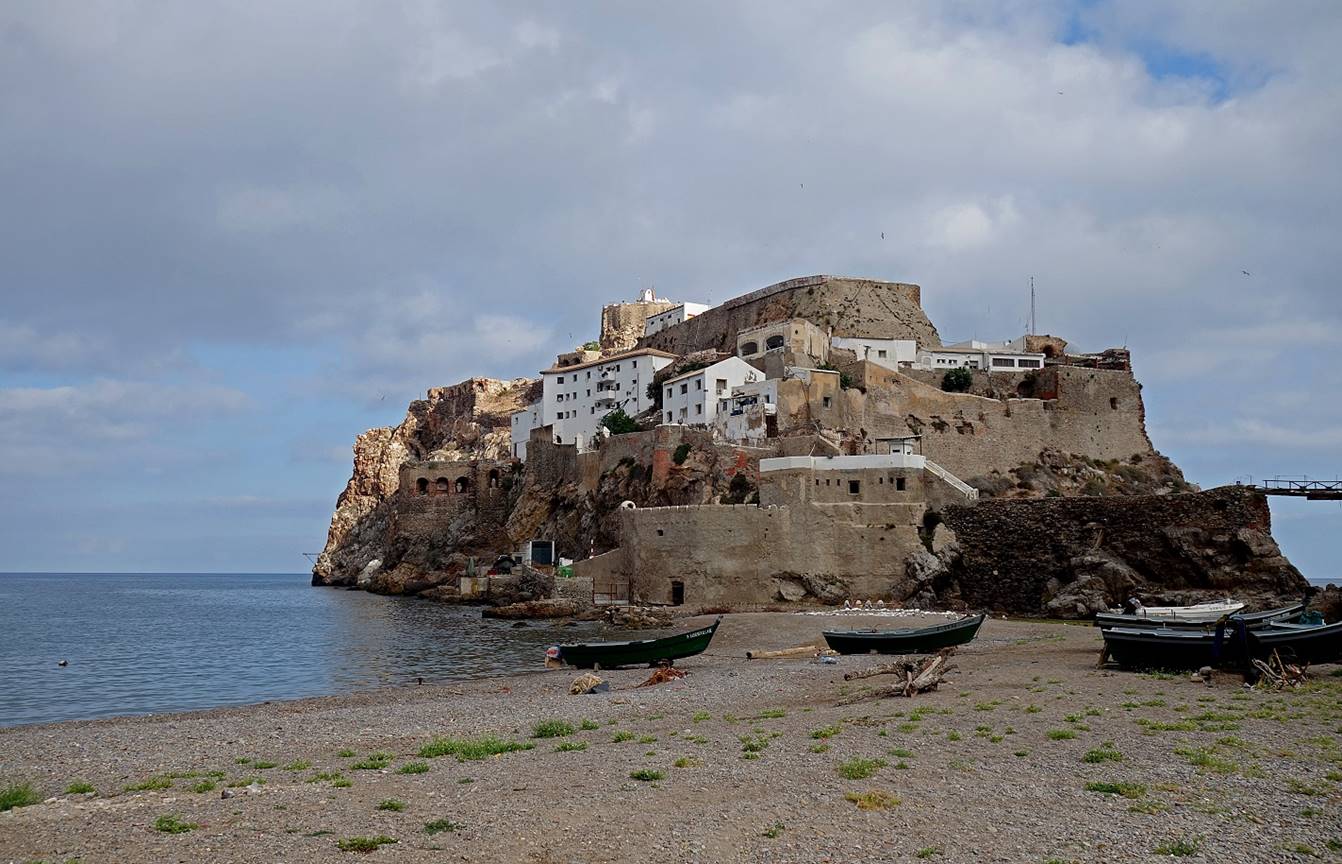
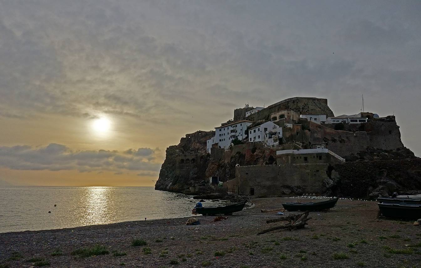
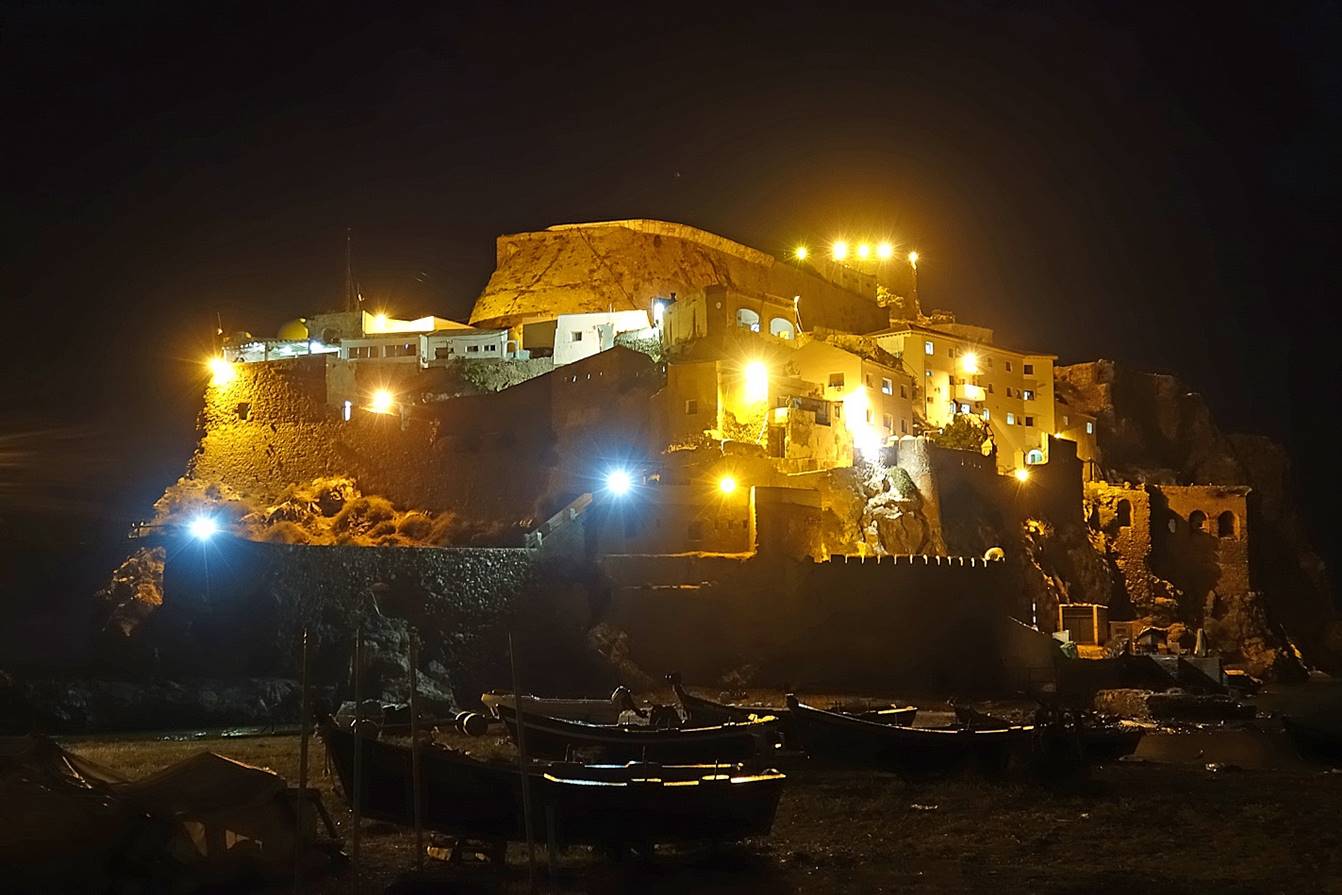
El
Penon de Velez de la Gomera
at sunset and at night.
Moroccan fishing boats in Bades.
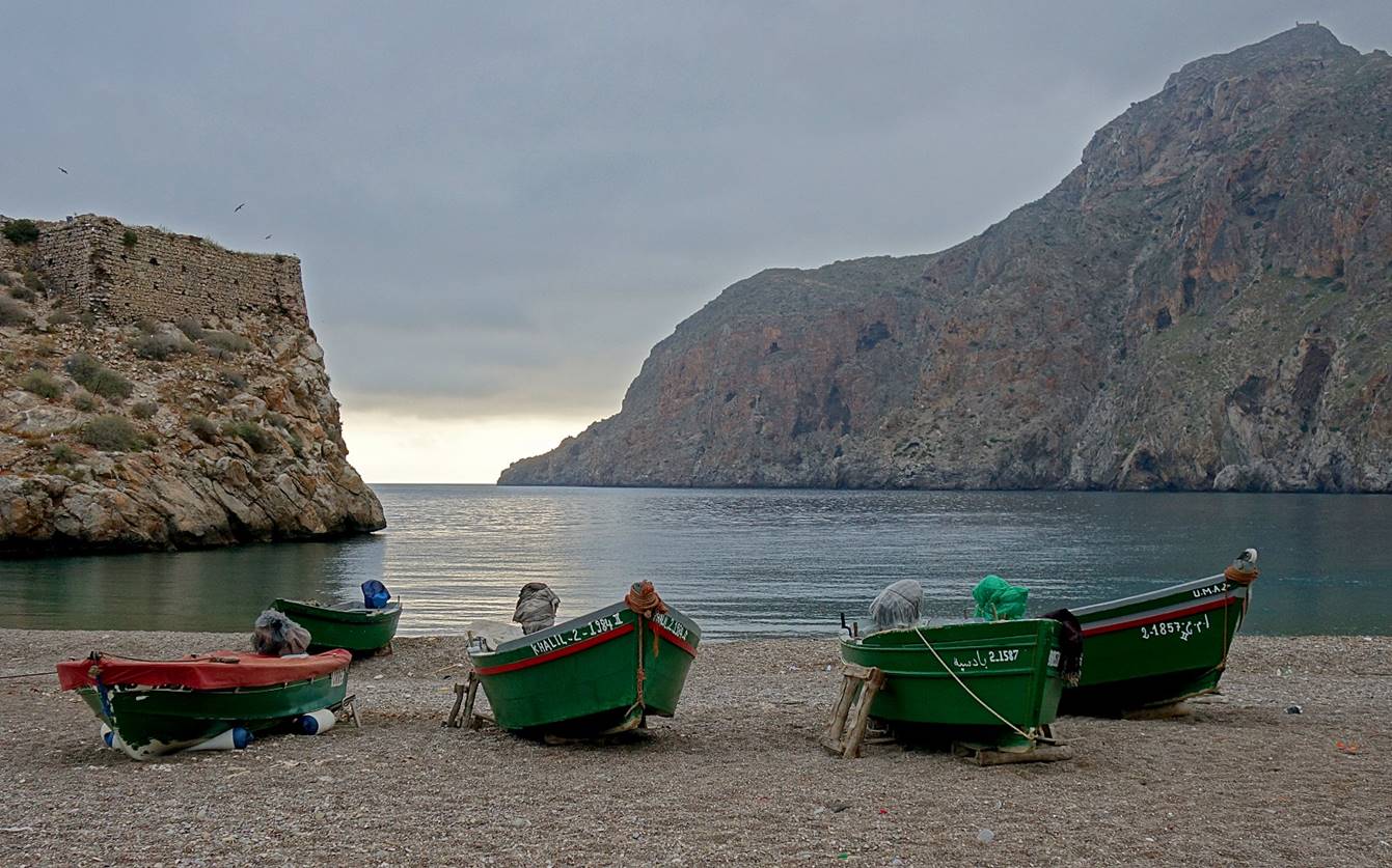
In the 12th century Bades
was the main port of the city of Fez. However, its importance declined during
the 16th century when European countries started attacking the northern coast
of Morocco to eliminate piracy. After 1564, the city progressively disappeared.
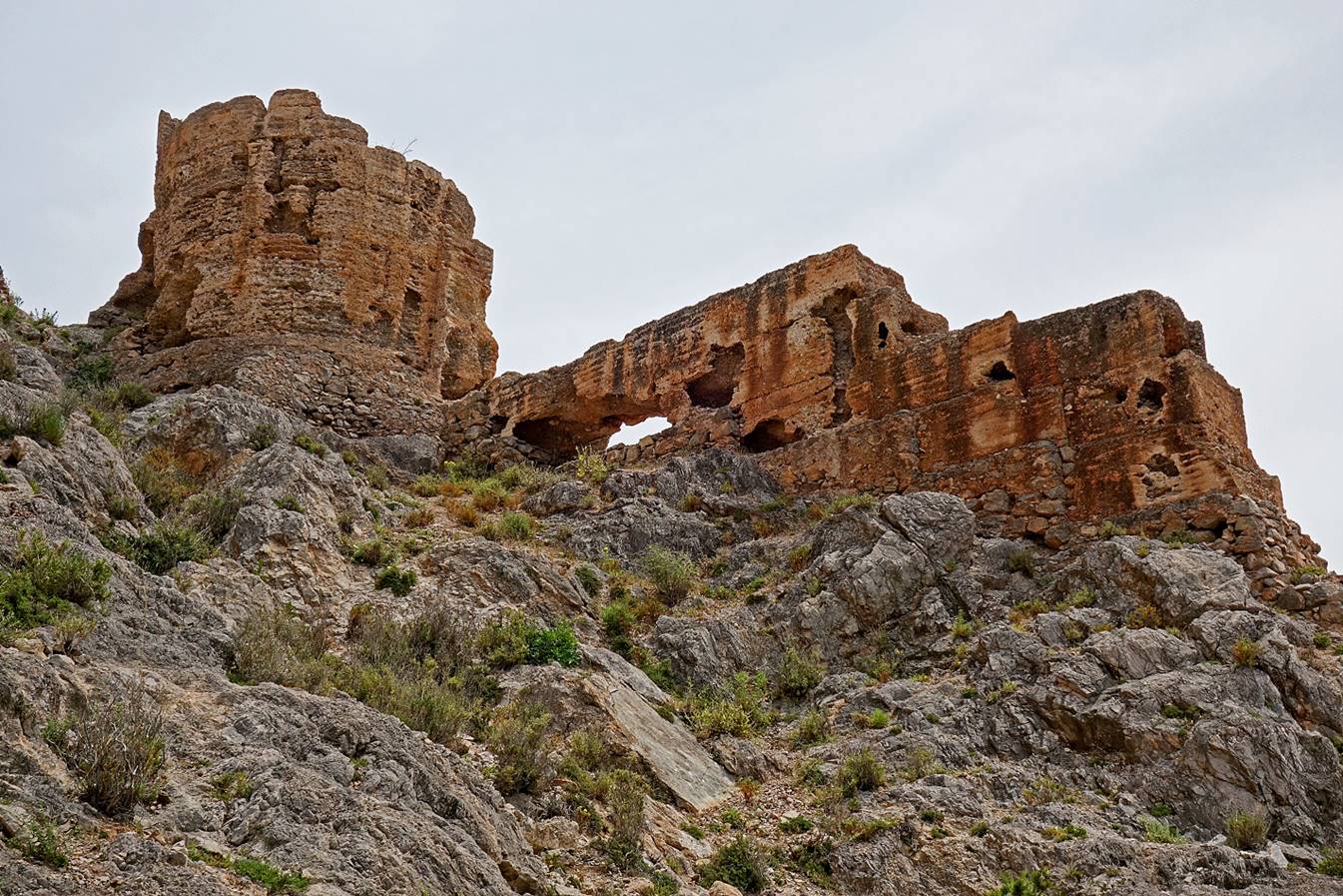
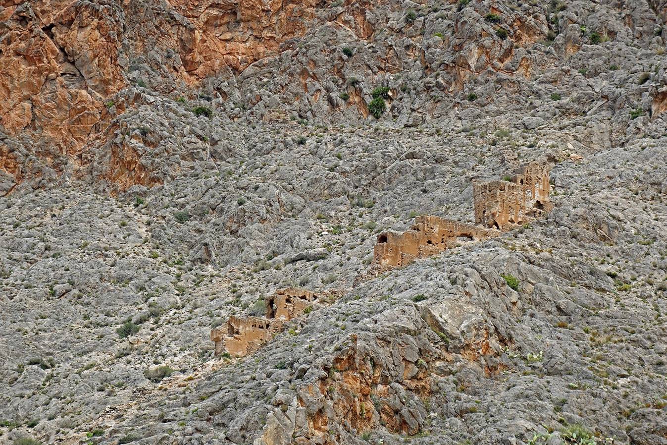
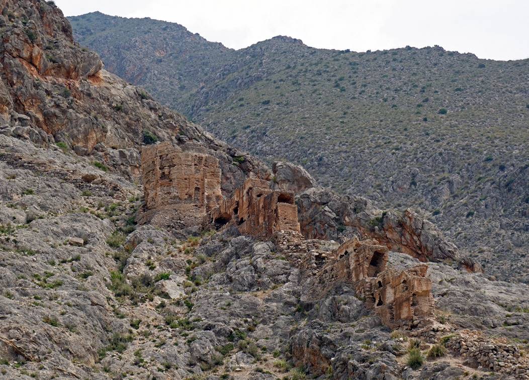
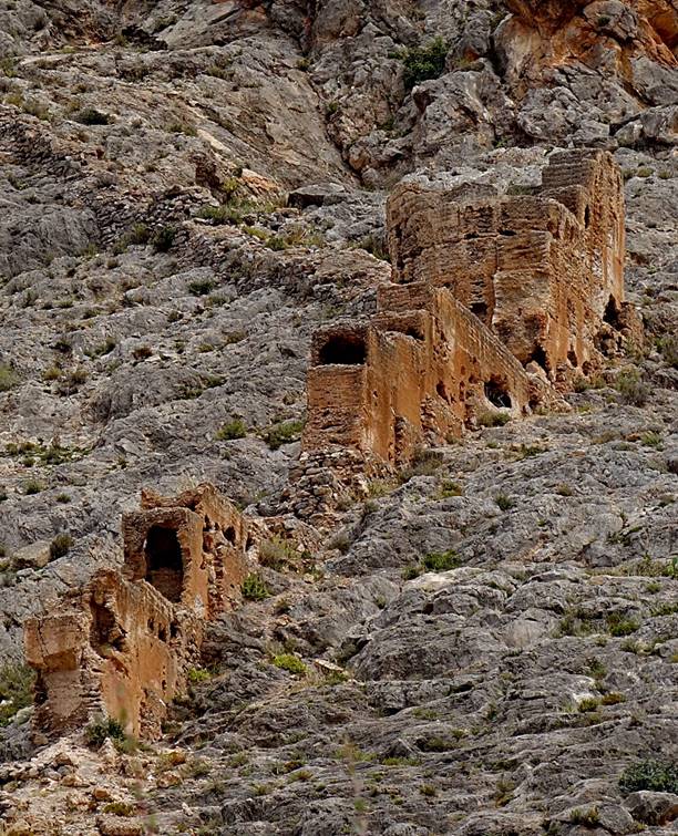
Today, Bades is a tiny fishing village. Nothing
remains of the old city, except some old walls.
The most interesting remain is a
fraction of a wall built on the eastern slope of the valley. This wall served to
guard the port and funnel imports/exports to better control tax collection and
prevent fraudulent imports. Unfortunately, it is crumbling.
|
|
|
Views of El Penon
de Velez de la Gomera while leaving Bades toward Torres de Alcala. The first and the second
photos show the narrow isthmus separating the Spanish territory and Morocco.
The border is marked by a blue rope barely visible in the first photo,
stretched between the two sides of the isthmus: the white boat is in Spain, but
the dark boats are in Morocco!
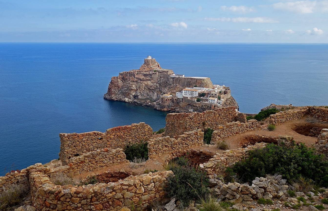
[The ruins in this photo are those of
lime kilns built during the Spanish protectorate.]
View over the Torres de Alcala, five
towers built by the Portuguese in 1499 on top of a 91m hill. Here, the towers
are being renovated, but unfortunately with materials different from the
original ones.
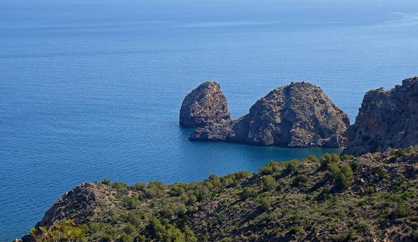
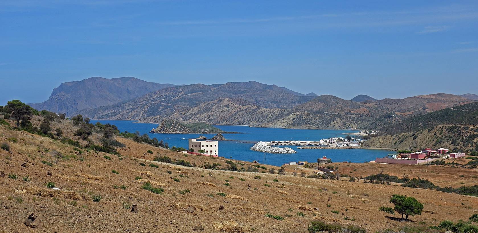
Beyond the Torres de Alcala, view over
the port of Cala Iris and the ″Sleeping Lion″
islet in the bay.
The coast between the Torres de Alcala
and Cala Iris.
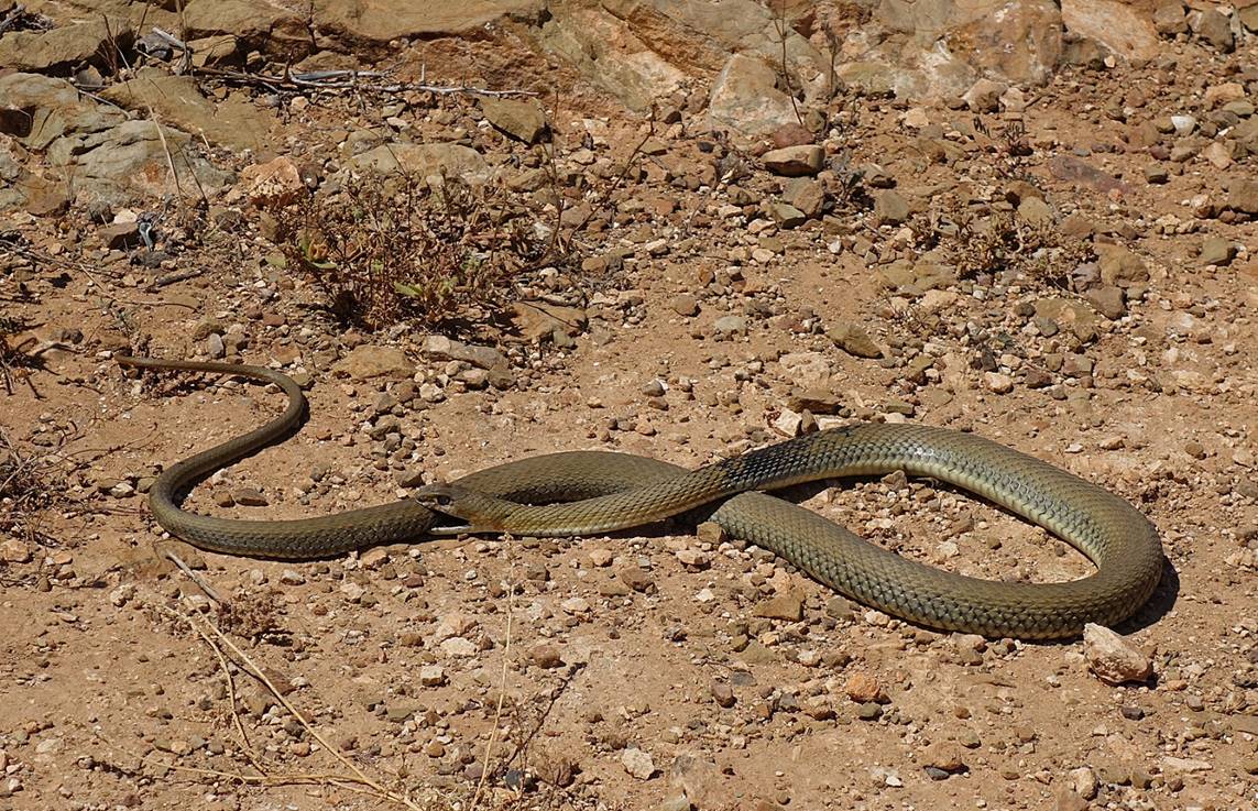
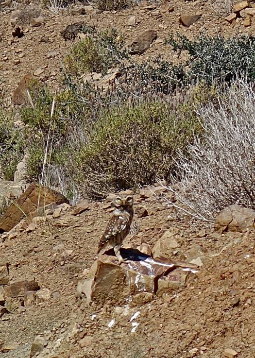
Snake and owl along the way.
|
|
|
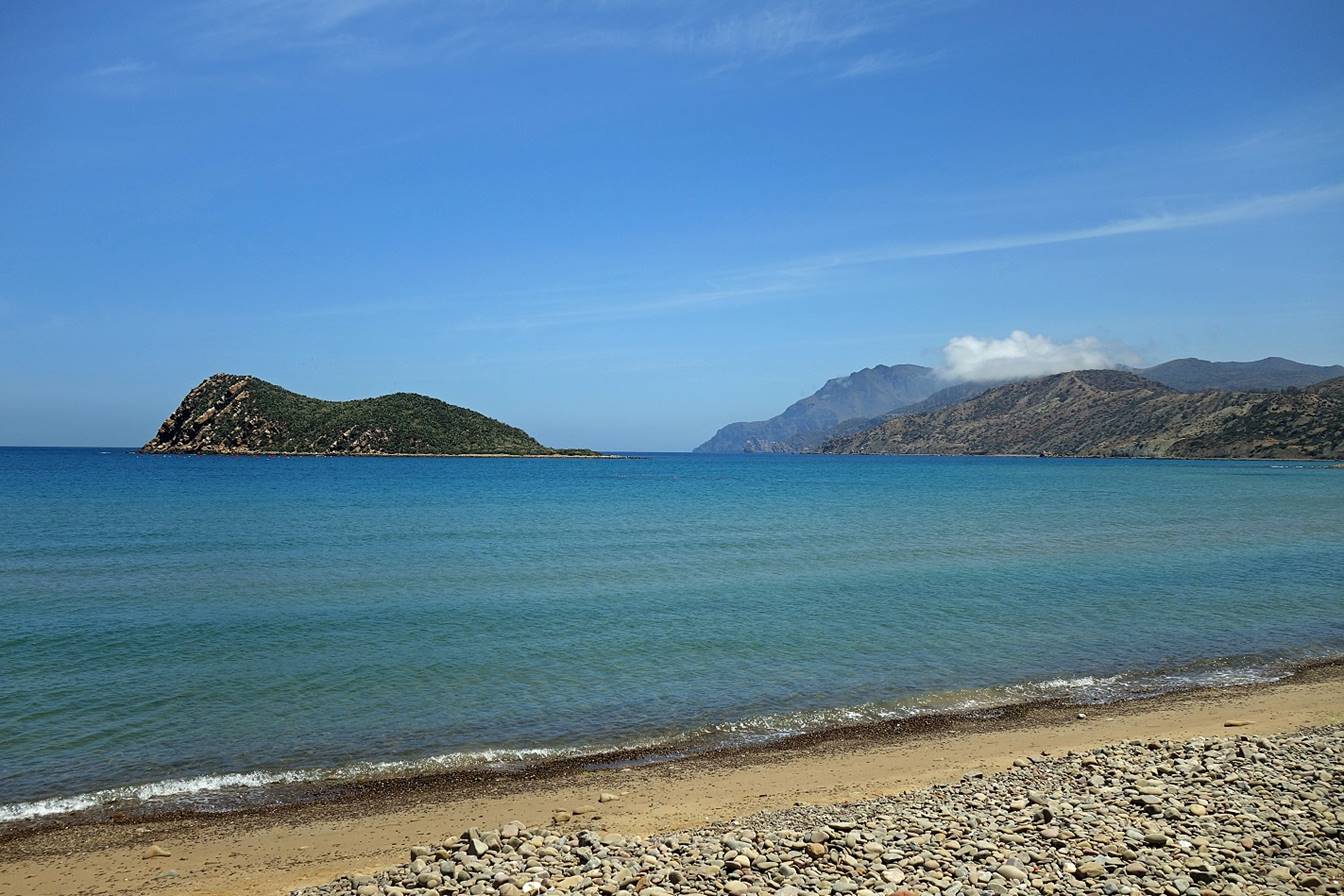
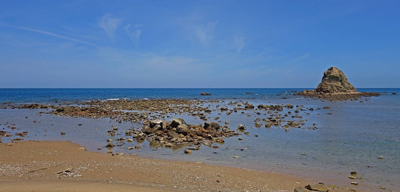
On the beach of Cara Iris facing the ″Sleeping
Lion″ islet. El Penon de Velez de la Gomera is still barely visible in the middle of the photo.
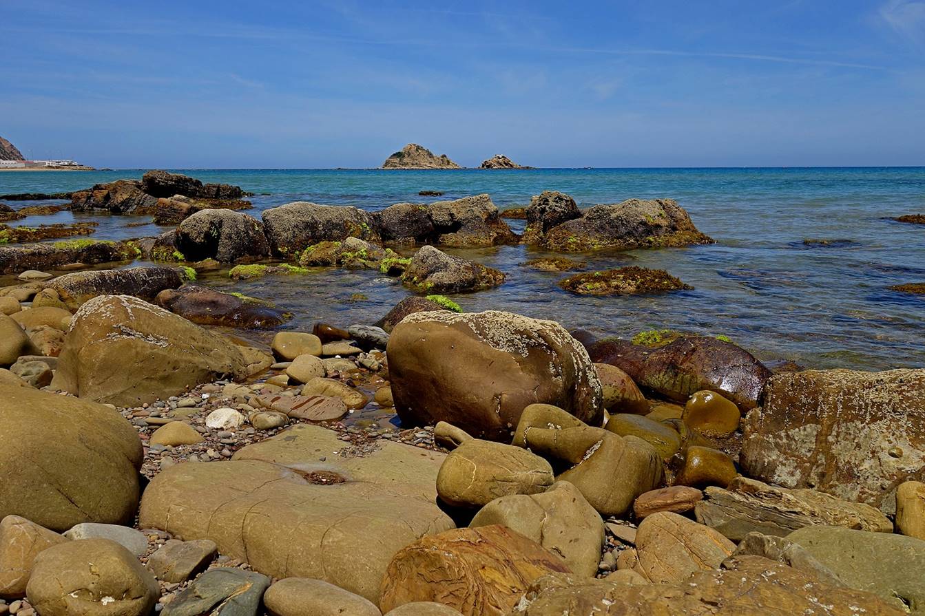
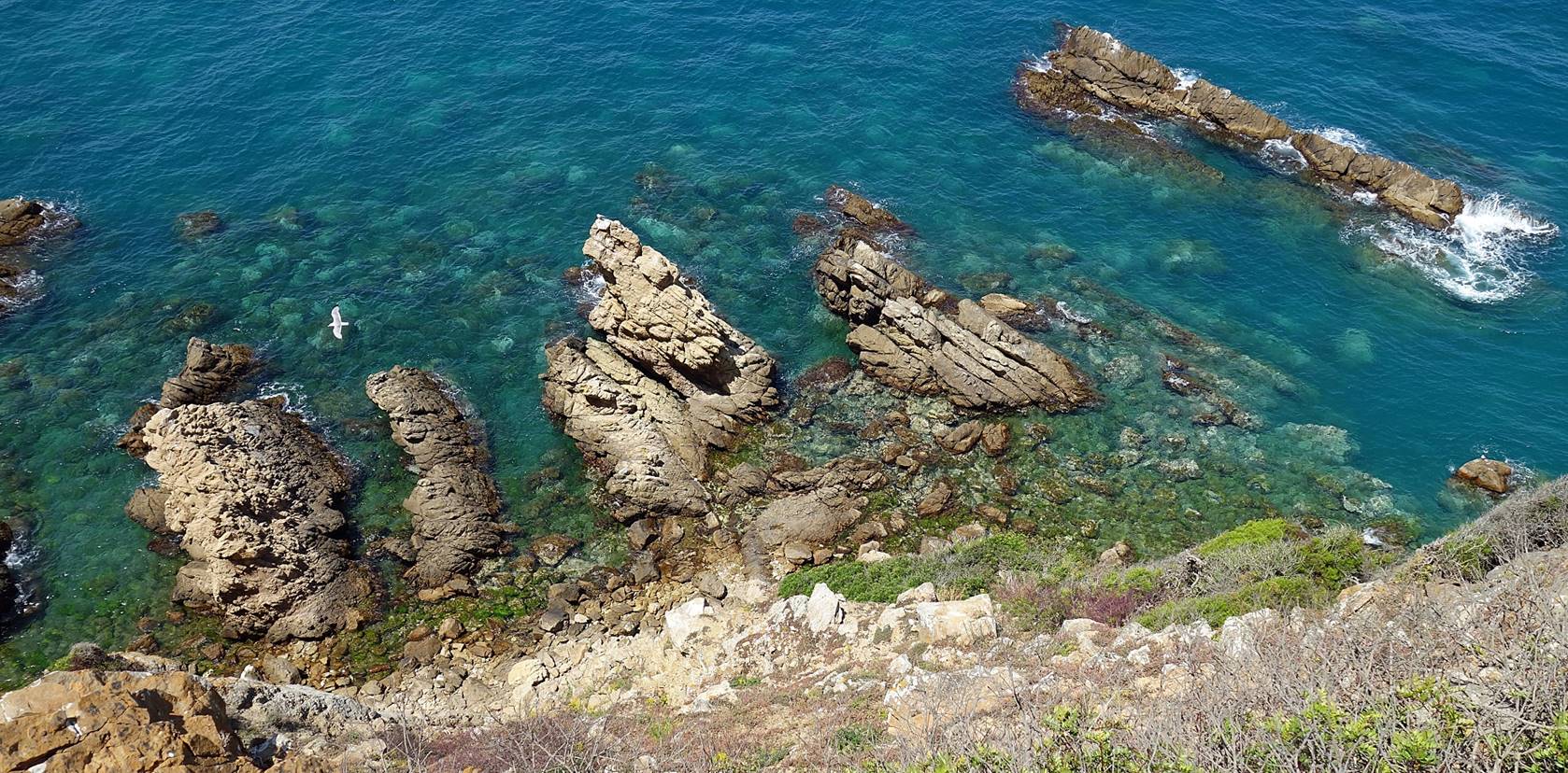
Rocks in Cala
Iris.
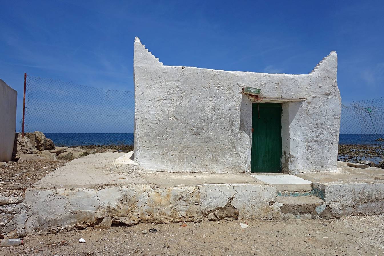
Marabout of Cala
Iris.
The small fishing port of Cala Iris, seen from the west.
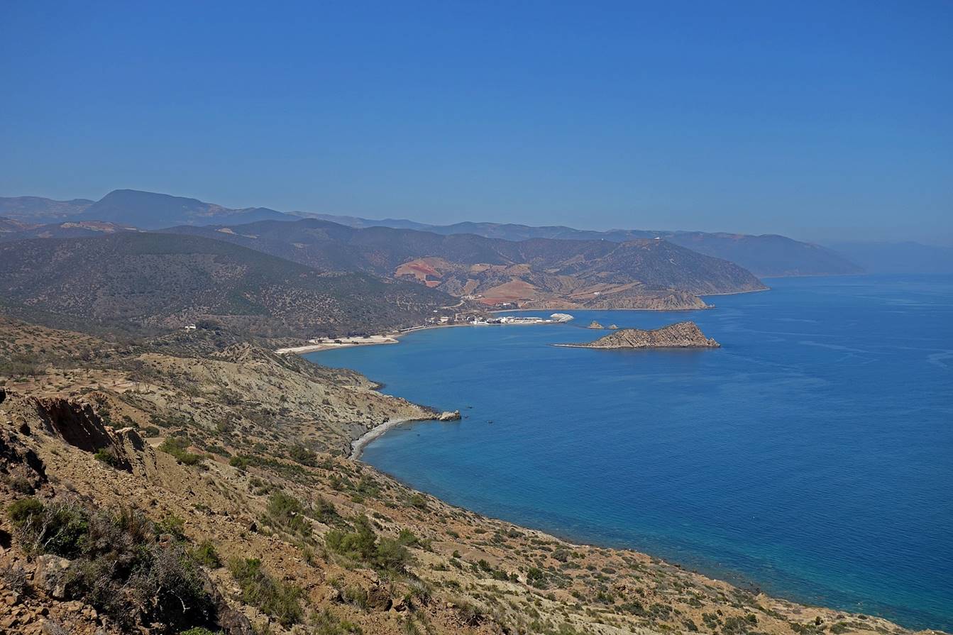
Coast between Cala
Iris and the valley of Mestassa.

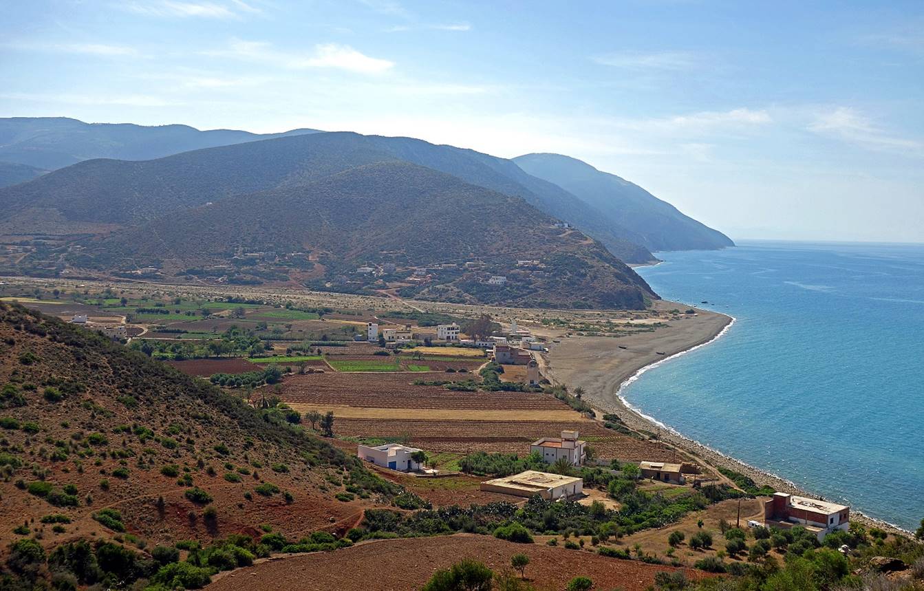
Reaching the valley of Mestassa at the douar of Taghzout. (The actual village of Mestassa,
not visible in the photo, is located further inland.)
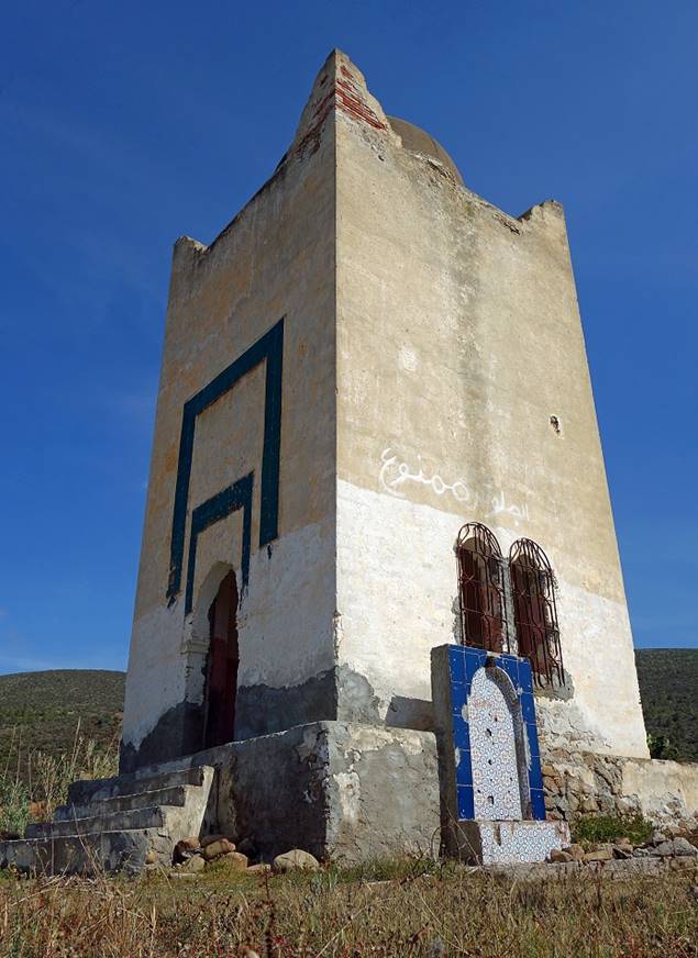
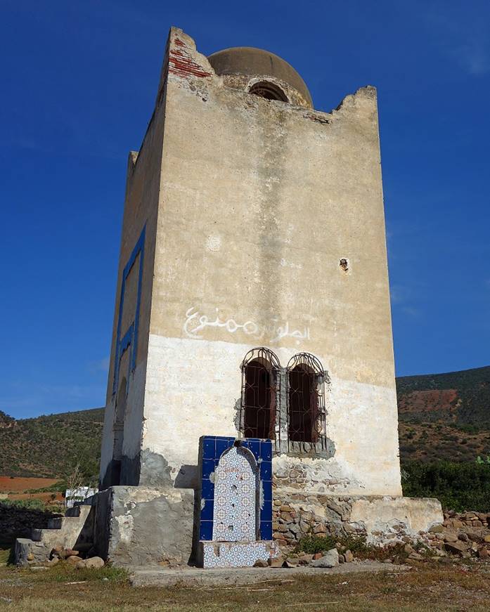
Observation tower built in Taghzout near the beach during the Spanish protectorate.
|
|
|
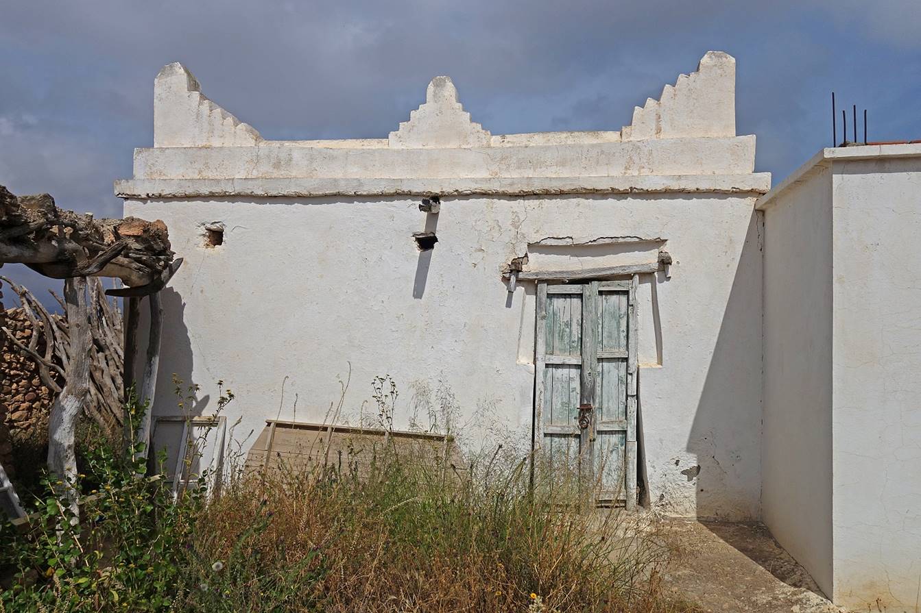
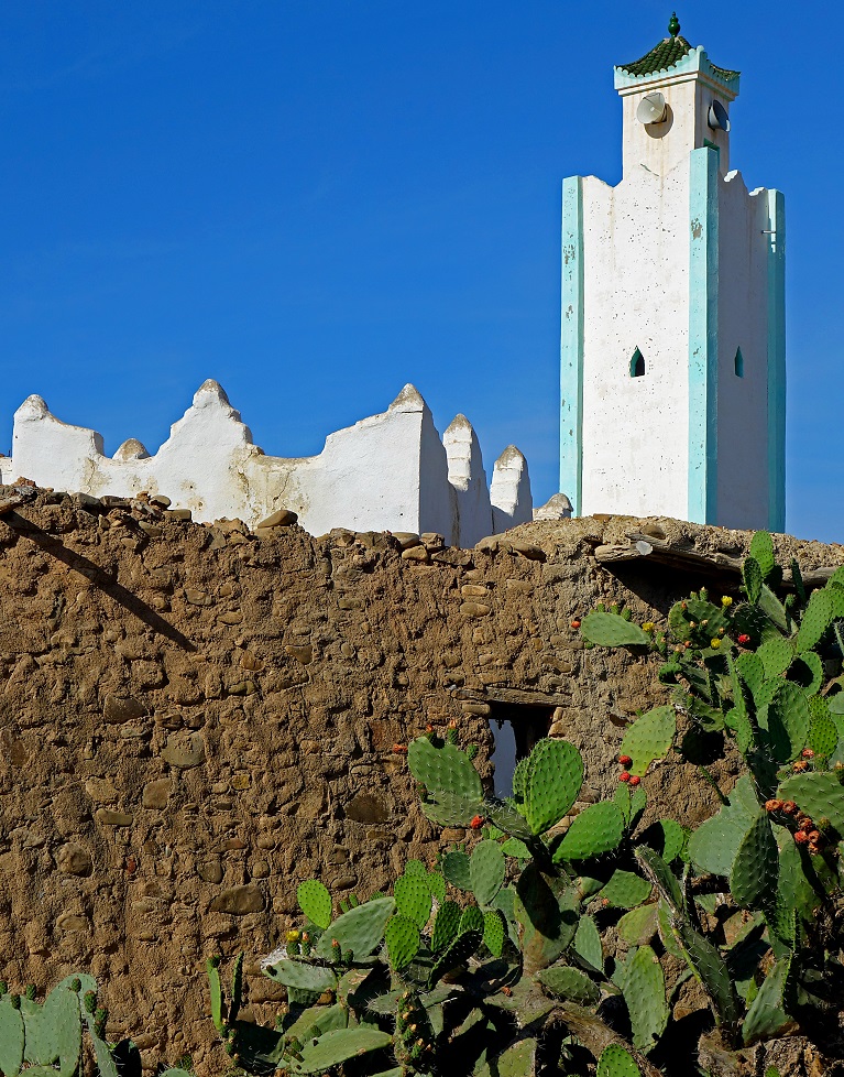
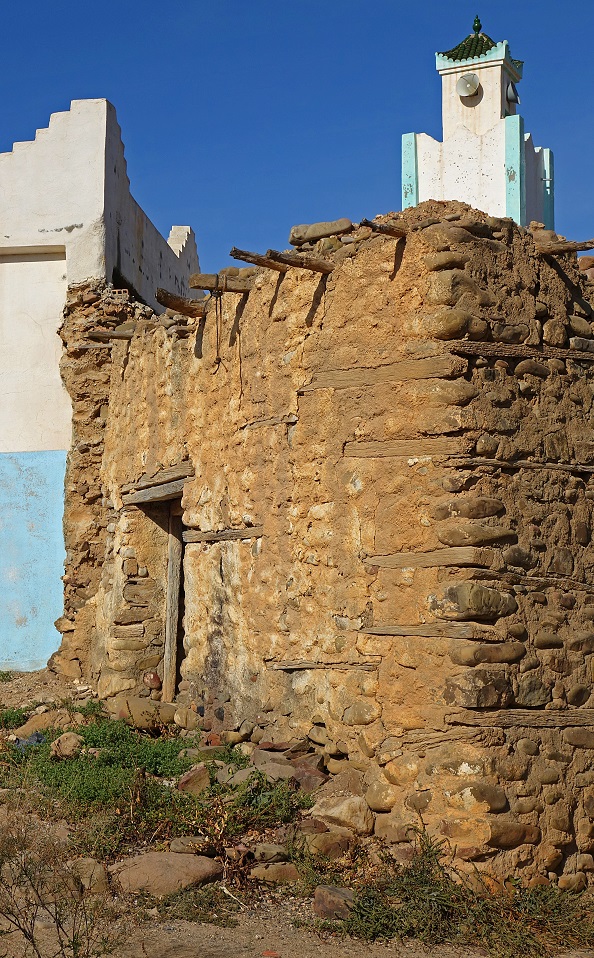
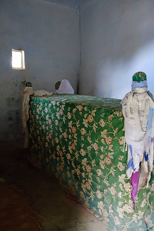
Modern mosque and old marabout of Taghzout.
|
|
|
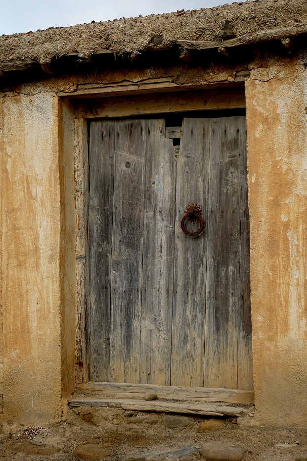
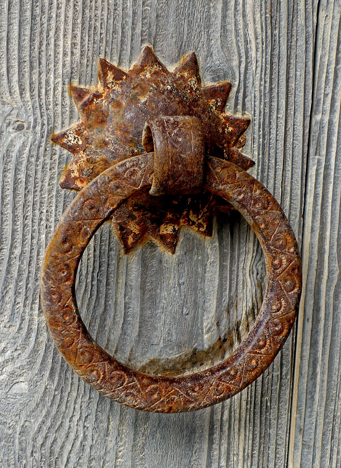
Entrance door of the marabout.
|
|
|
The not very well-maintained marabout.
|
|
|
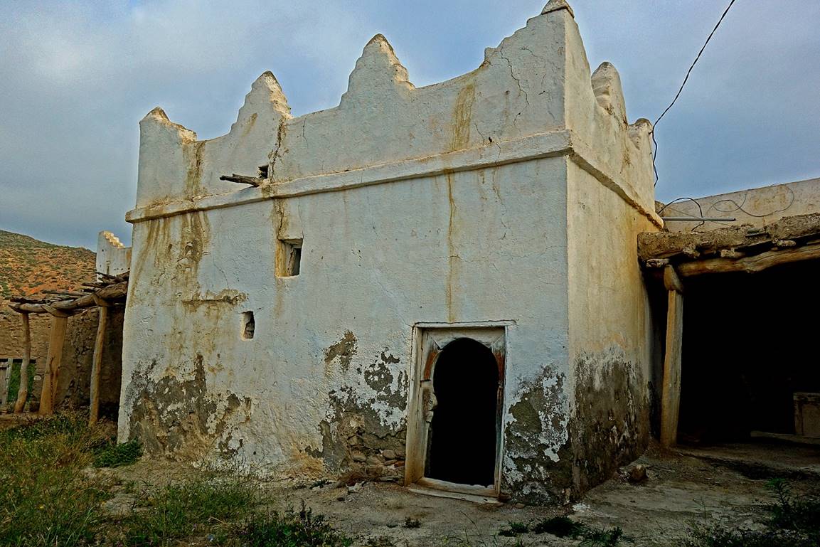
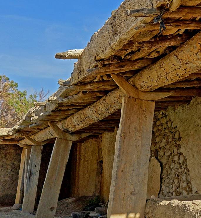
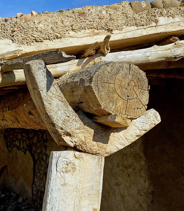
Support of roof around the marabout′s
courtyard.
|
|
|
Douar of Kerker, in
the Mestassa valley.
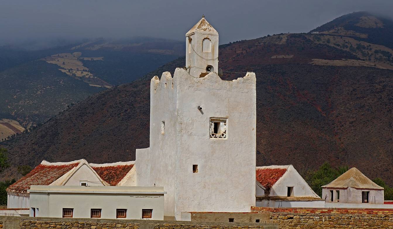
Mosque of Mestassa
built in the 14th century during the Merinid dynasty
by sultan Abou Hassan Al Marini, known as sultan Alakhal.
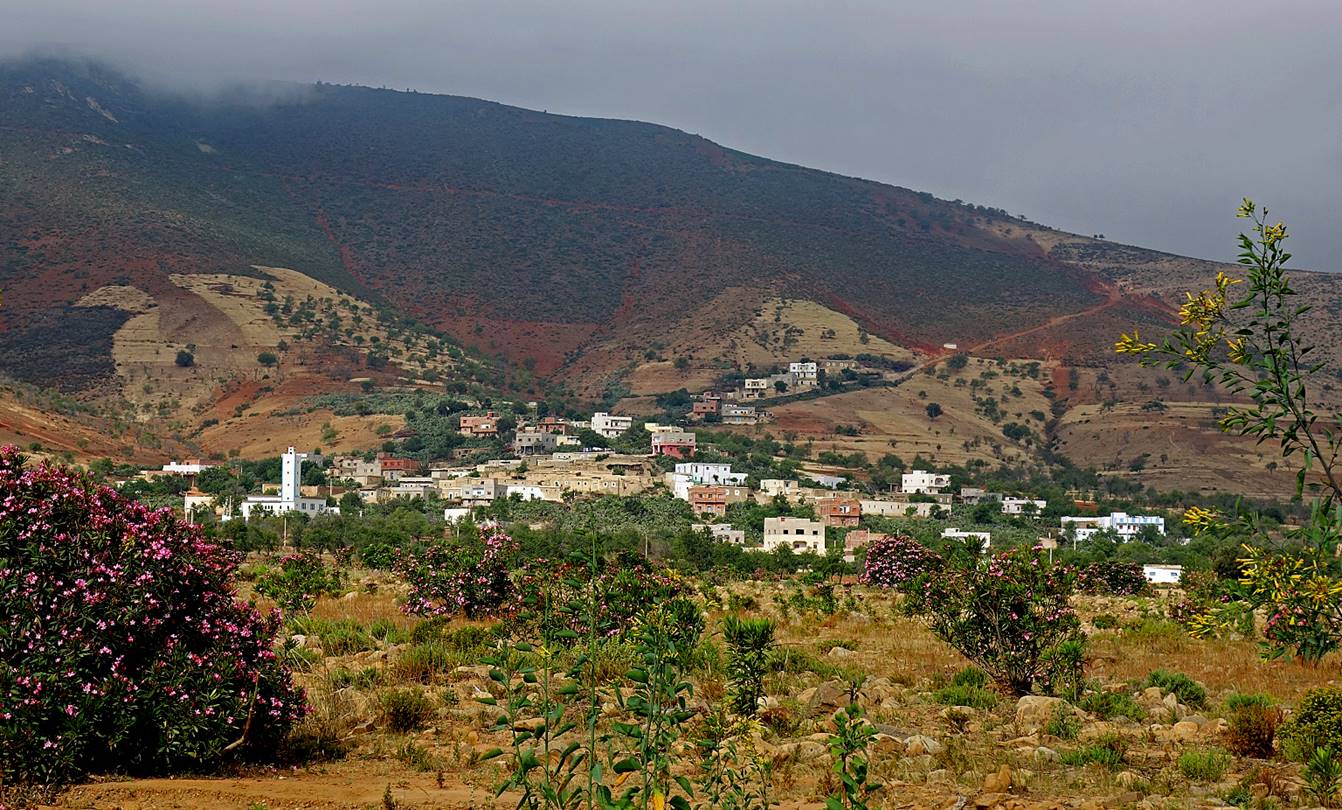
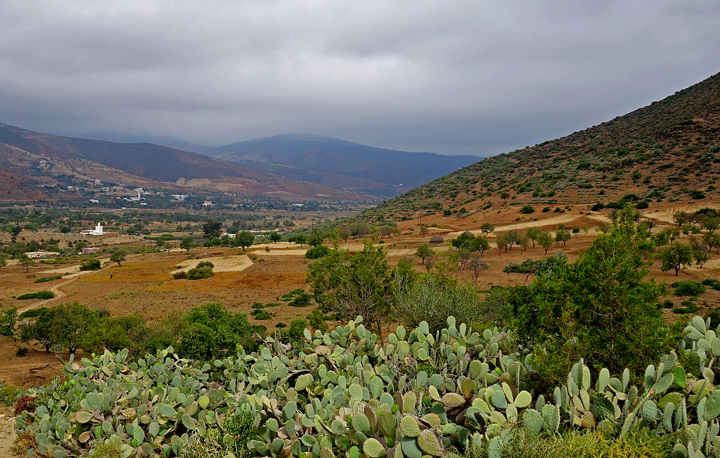
View of the valley of Mestassa just before leaving it to return to Beni Boufrah. The mosque is
visible on the left. The village of Mestassa is
barely visible on the right of the mosque, behind trees.
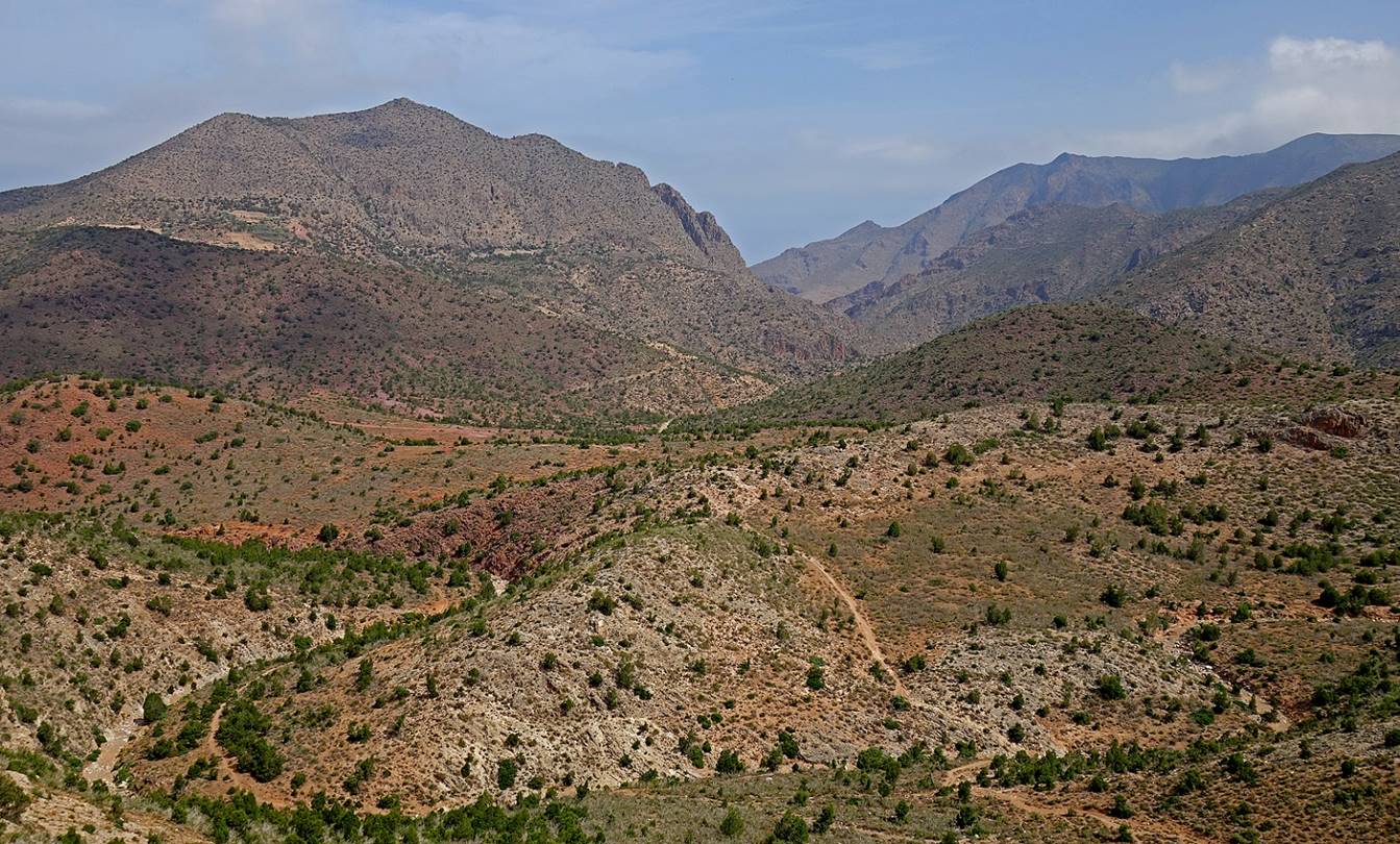
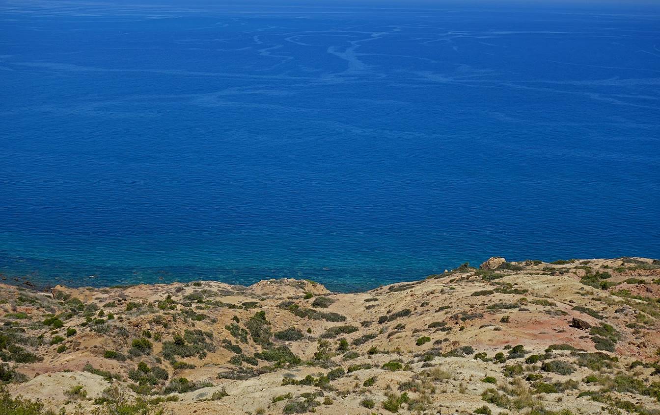
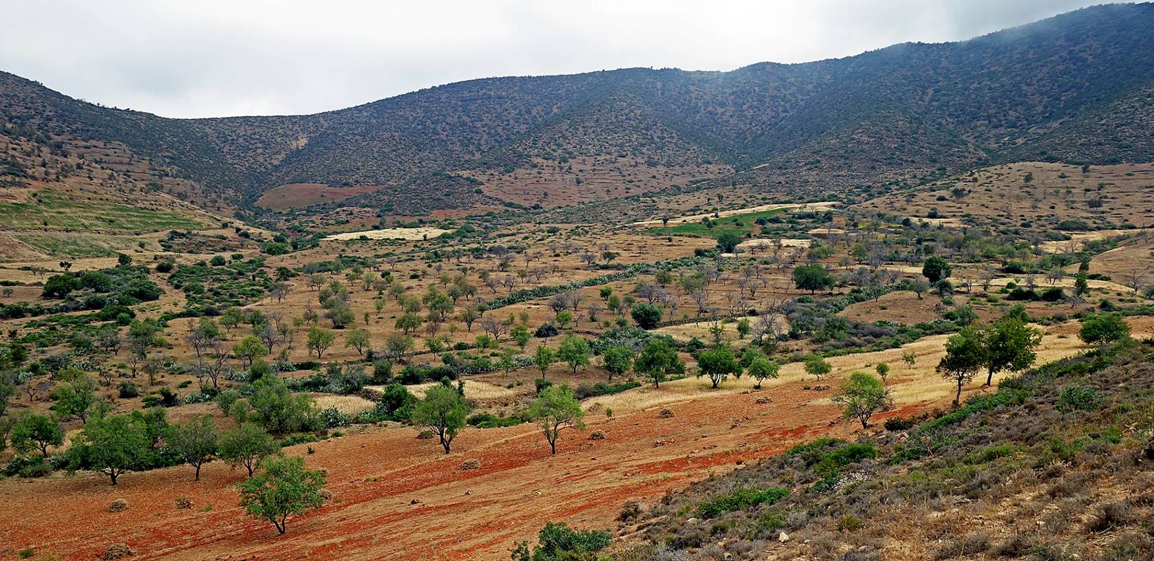
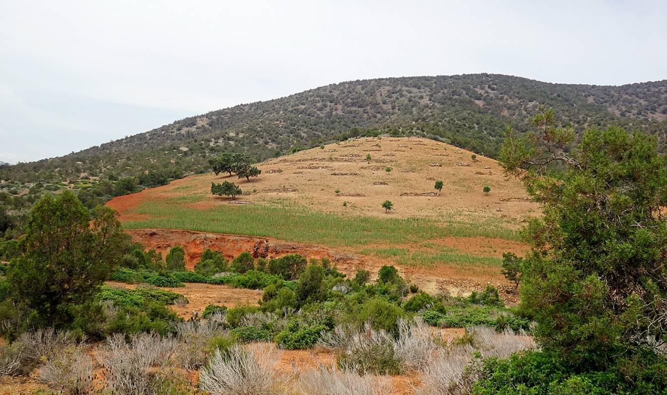
Lanscape above Mestassa.
View toward Cala
Iris from the Jebel Ikarouene.
Field of cannabis in the Jebel Ikarouene (center). Cannabis is more difficult to cultivate
in the mountains than in flat, well-irrigated plains. But I was told that it
gives a stronger, more expensive hashish/kif.
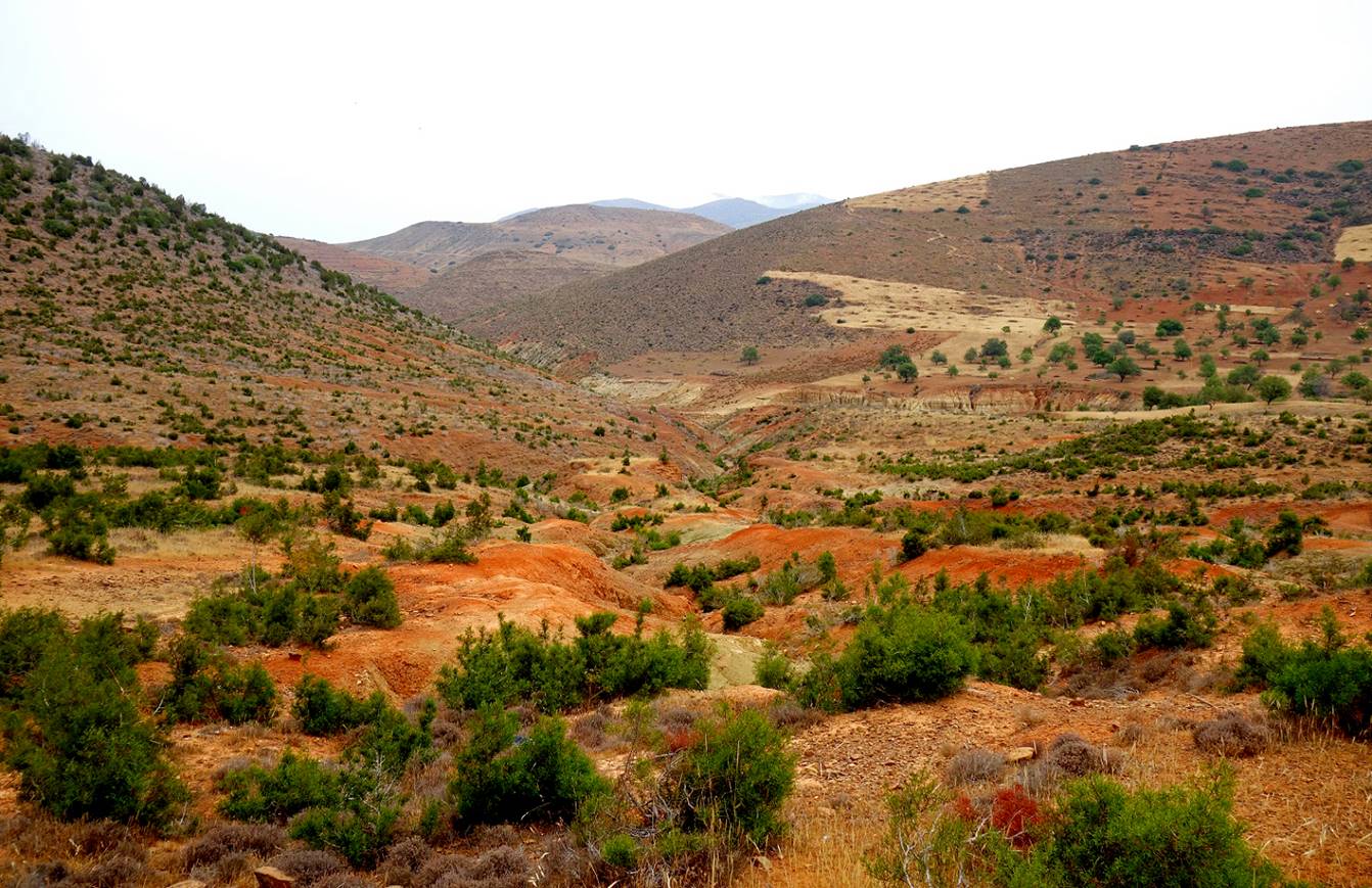
Colorful hills soon
before the end of the circuit in the Beni Boufrah valley.
![]()