Morocco (May 2017):
Hiking in the Al Hoceima National Park and the Rif Mountains (Part 2/2)

Back
to main Morocco 2017 page | Back to my
mountaineering/trekking/travel webpage
This page shows photos taken along the itinerary shown in blue in the map
below, between the yellow dot in the Beni Boufrah valley and the brown dot (town of Rouadi), and photos of the ascent of Jebel Tighighine, 2448m (the corresponding map is posted further
down in this page). Click here (.kmz file) to
access recorded GPS waypoints in Google Earth and here to download topographic maps of Morocco.
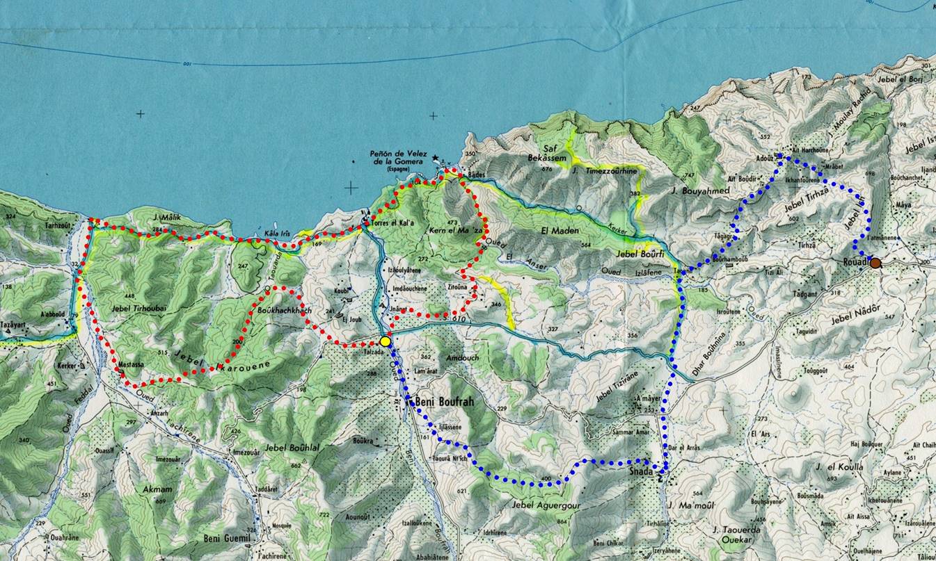
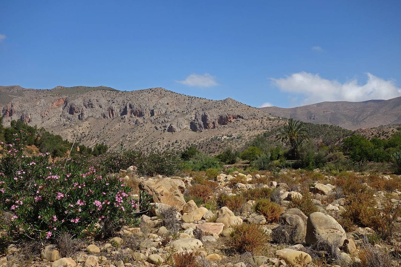
Itinerary between the Beni Boufrah valley and Rouadi via Snada and Adouz:
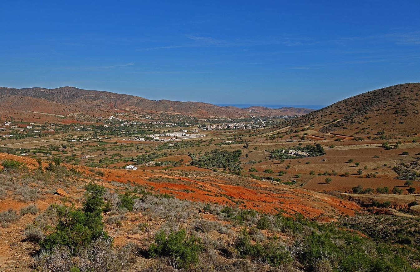
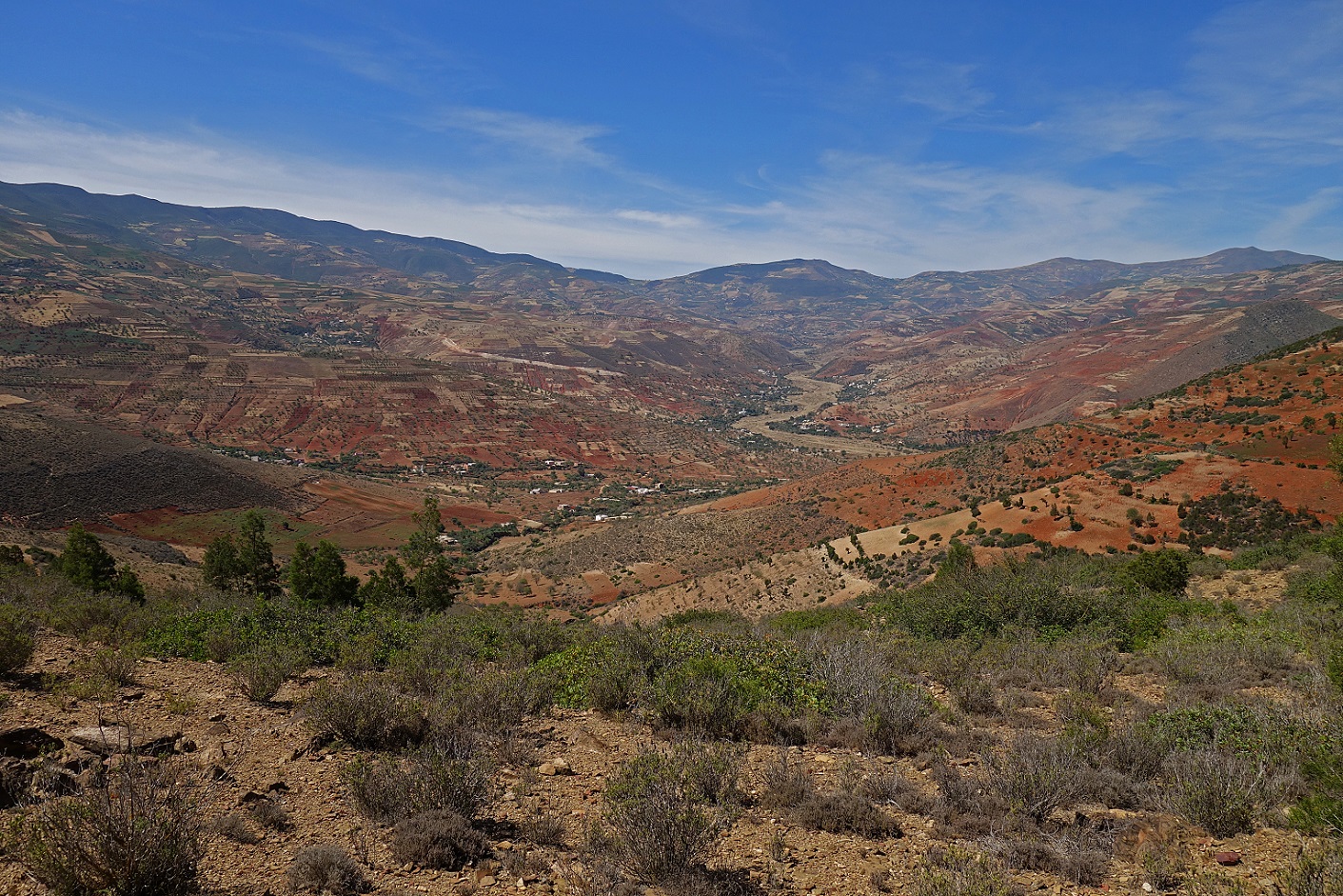
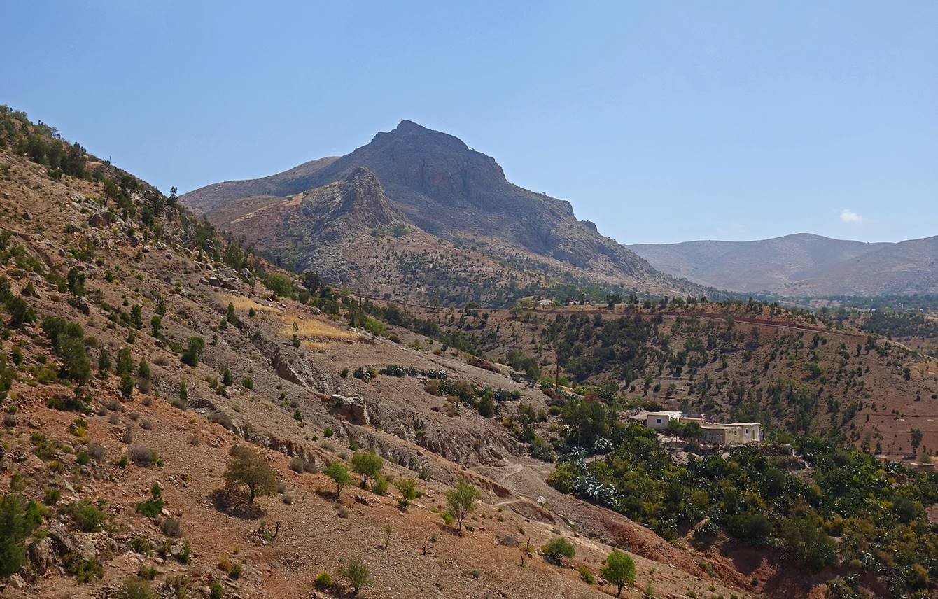
View over the Beni
Boufrah valley just after leaving the valley.
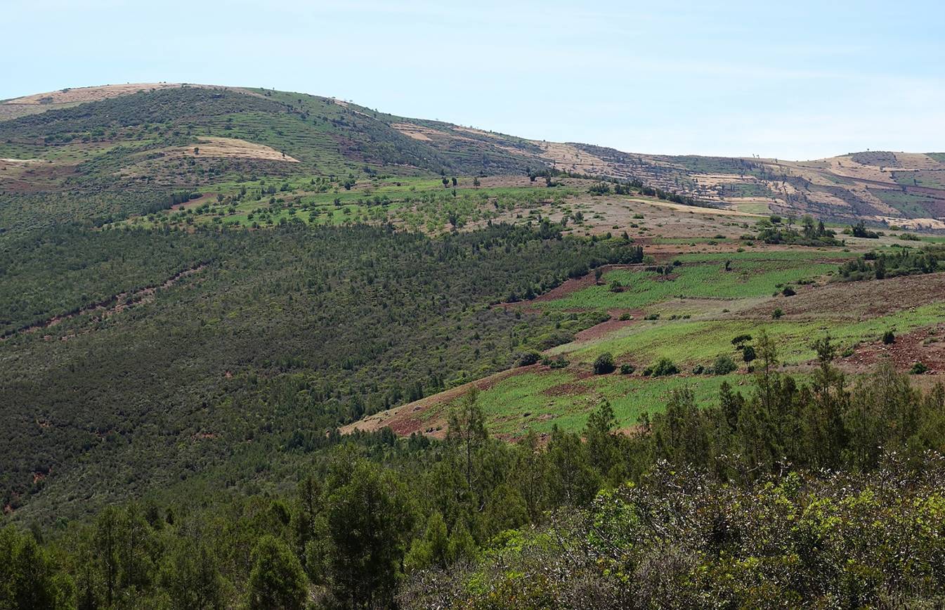
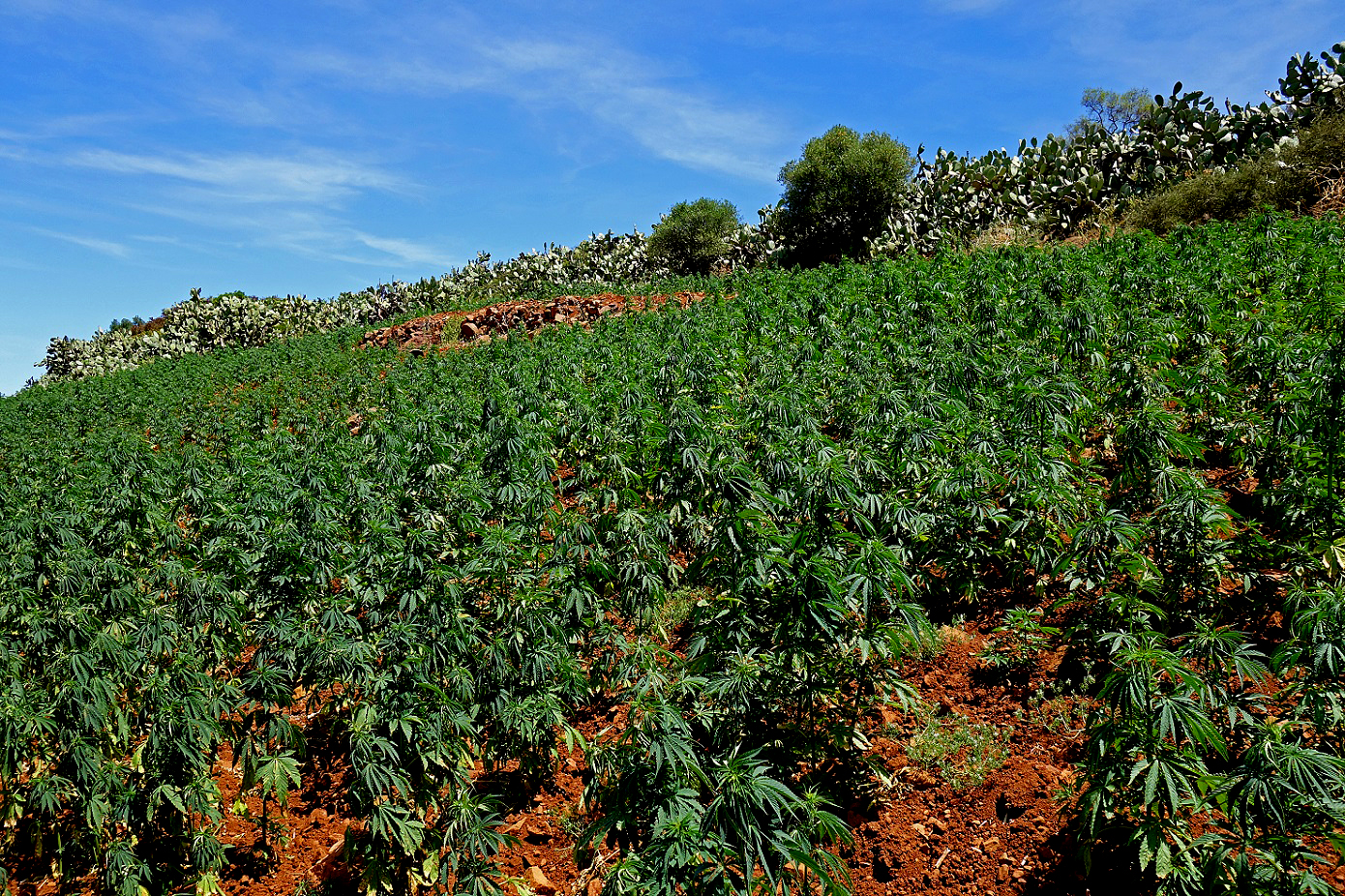
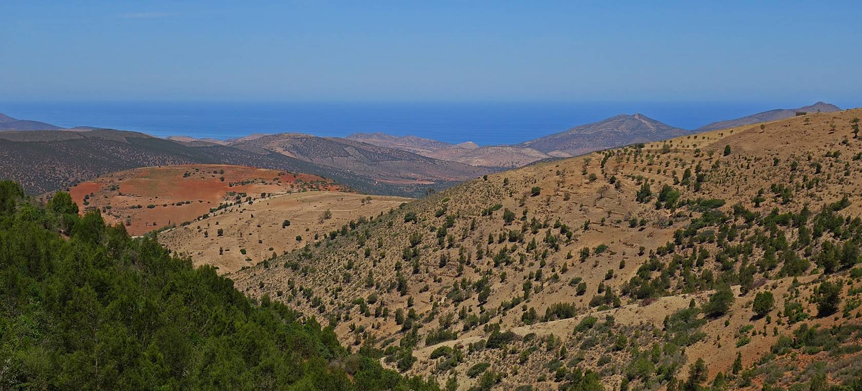
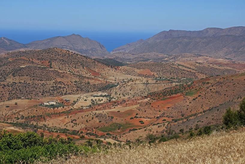
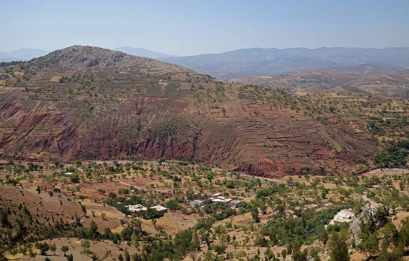
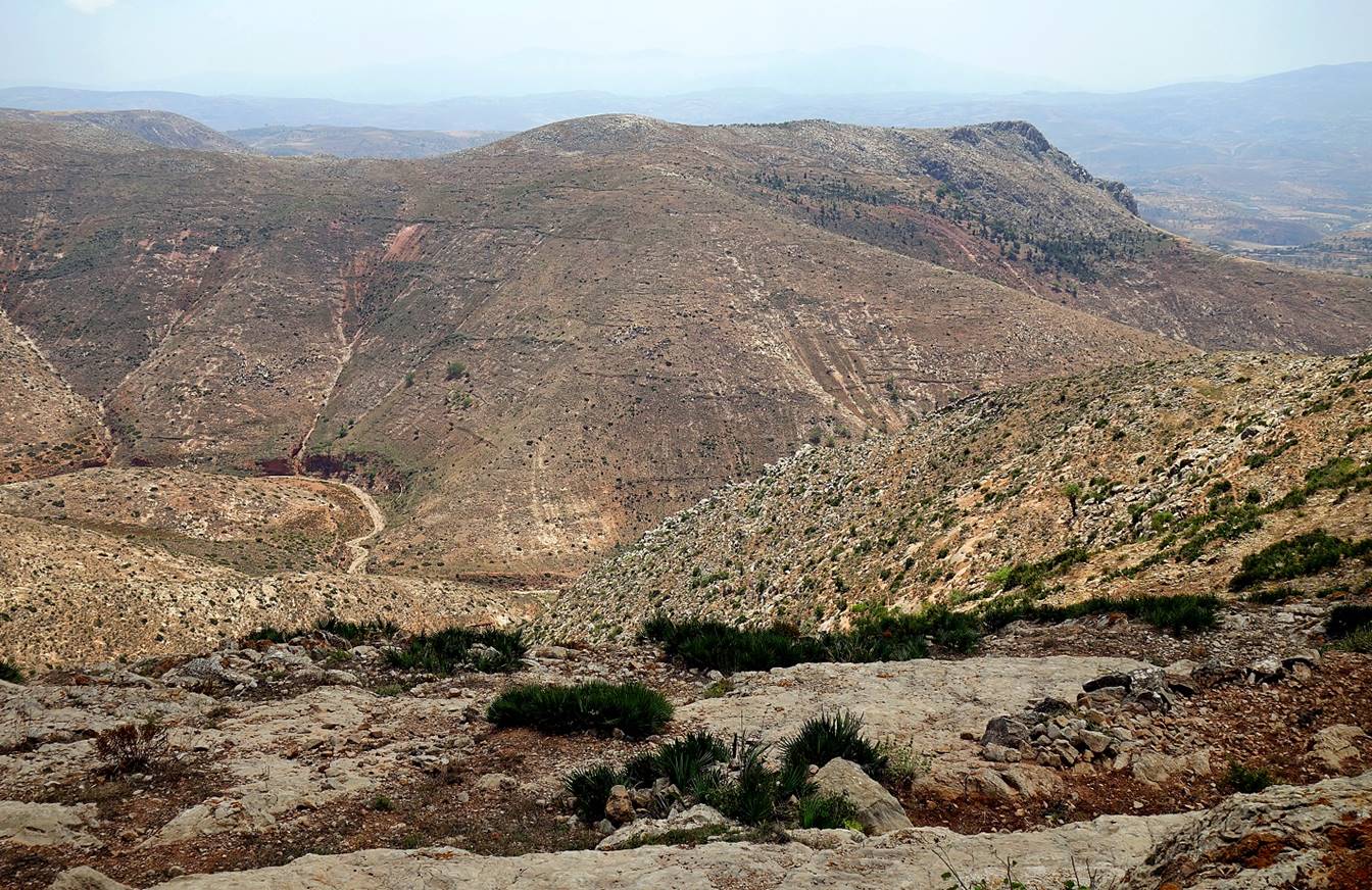
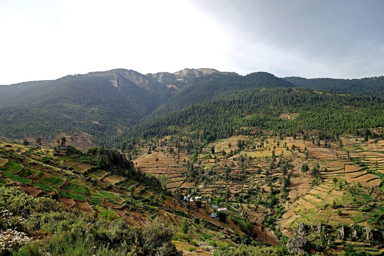
Views from the Jebel Aguergour.
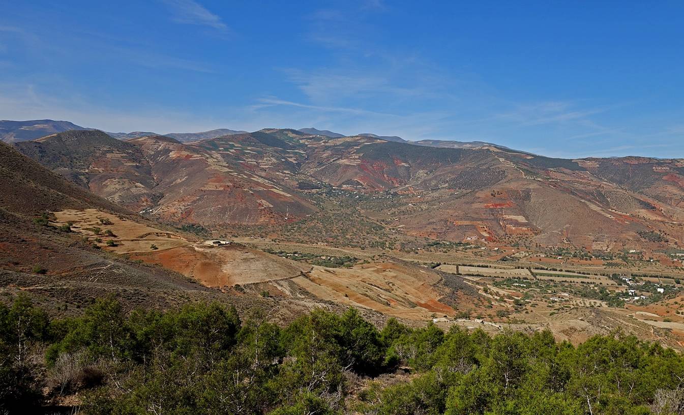
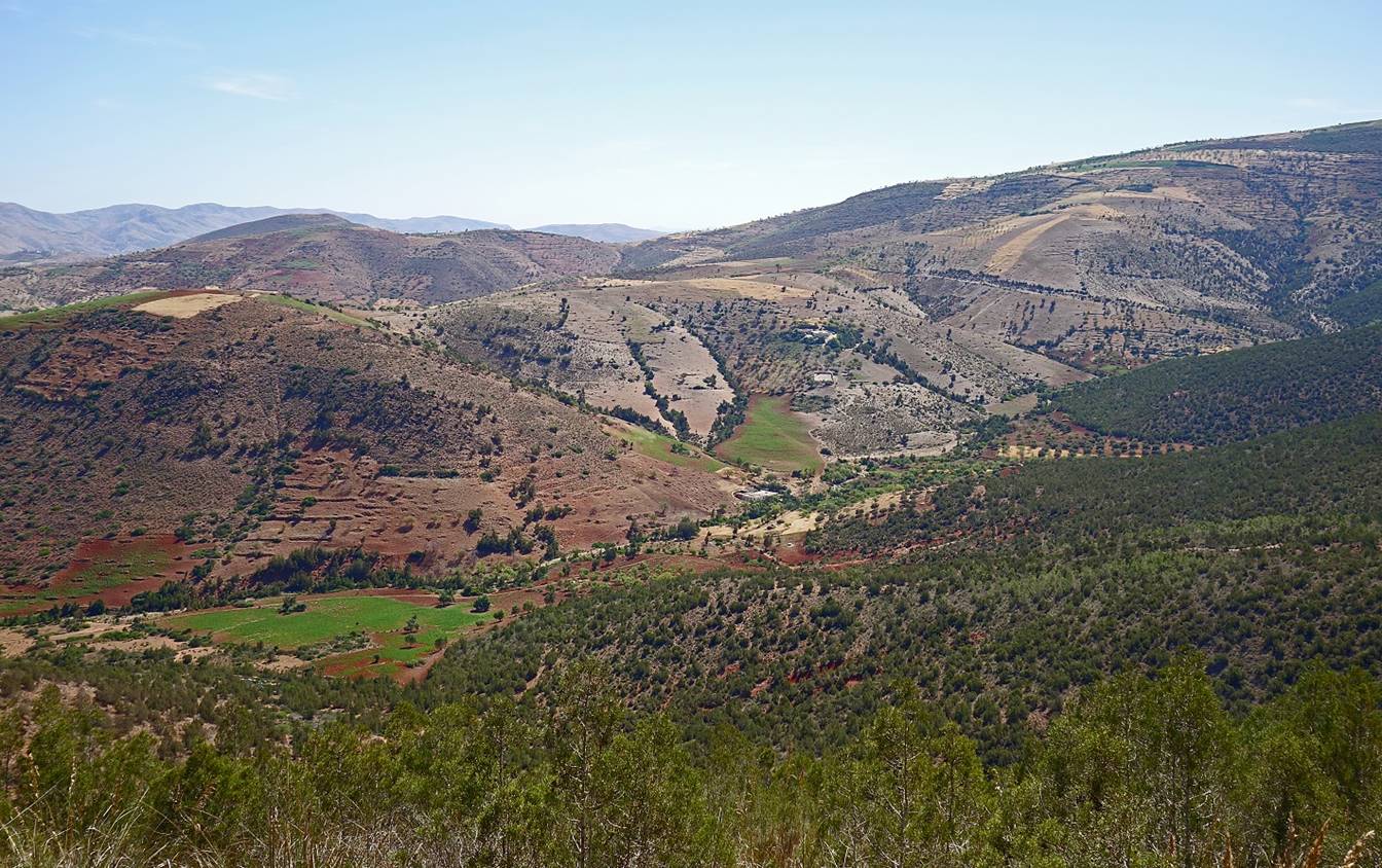
[The bright green fields are cannabis
fields.]
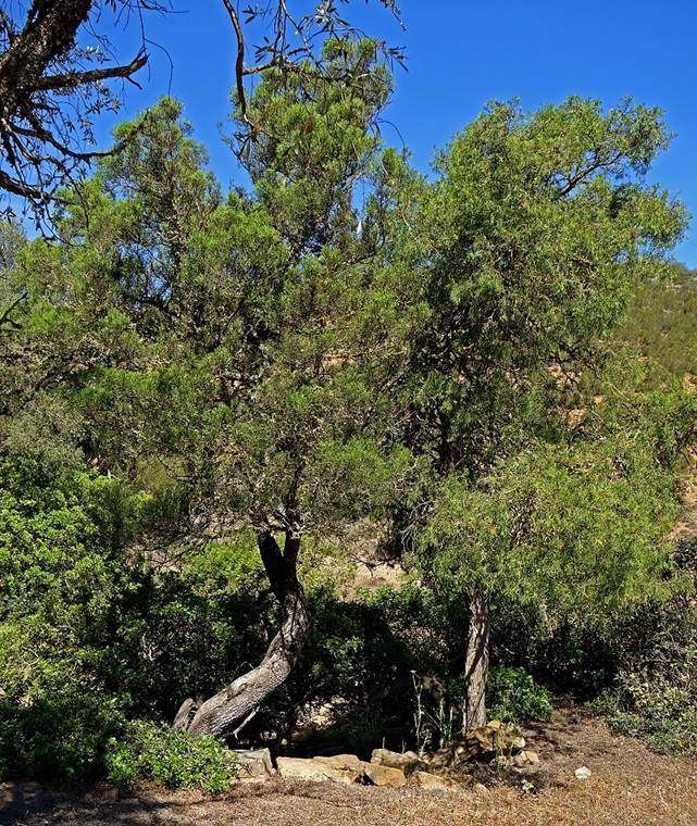
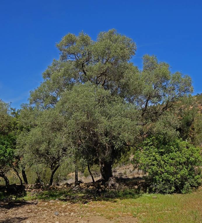
Typical trees of this area: thuyas on the left and oleaster (wild
ancestor of the olive tree) on the right.
|
|
|
Cannabis fields on the Jebel Aguergour.
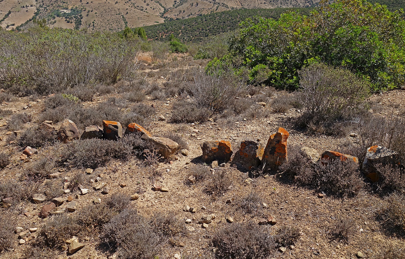
Trap to capture rabbits and hares. A
small rock wall funnels the animal in the middle hole, where an actual trap
(not present in the photo) is placed.
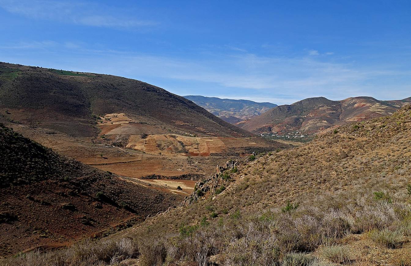
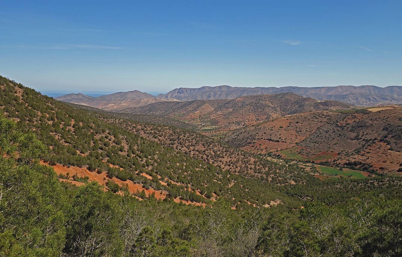
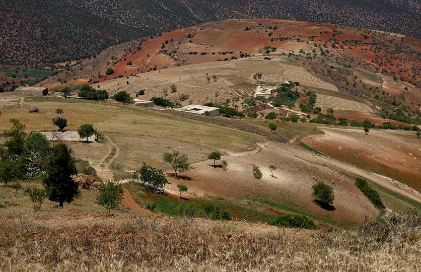
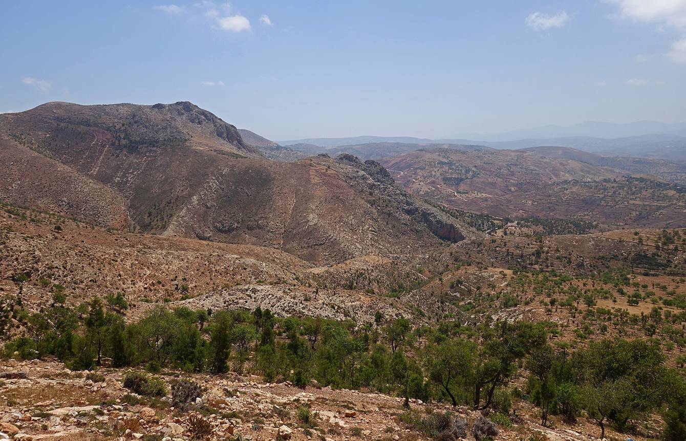
More views from Jebel Aguergour.
[Torres de Alcala is visible in the background,
in the middle of this photo.]
|
|
|
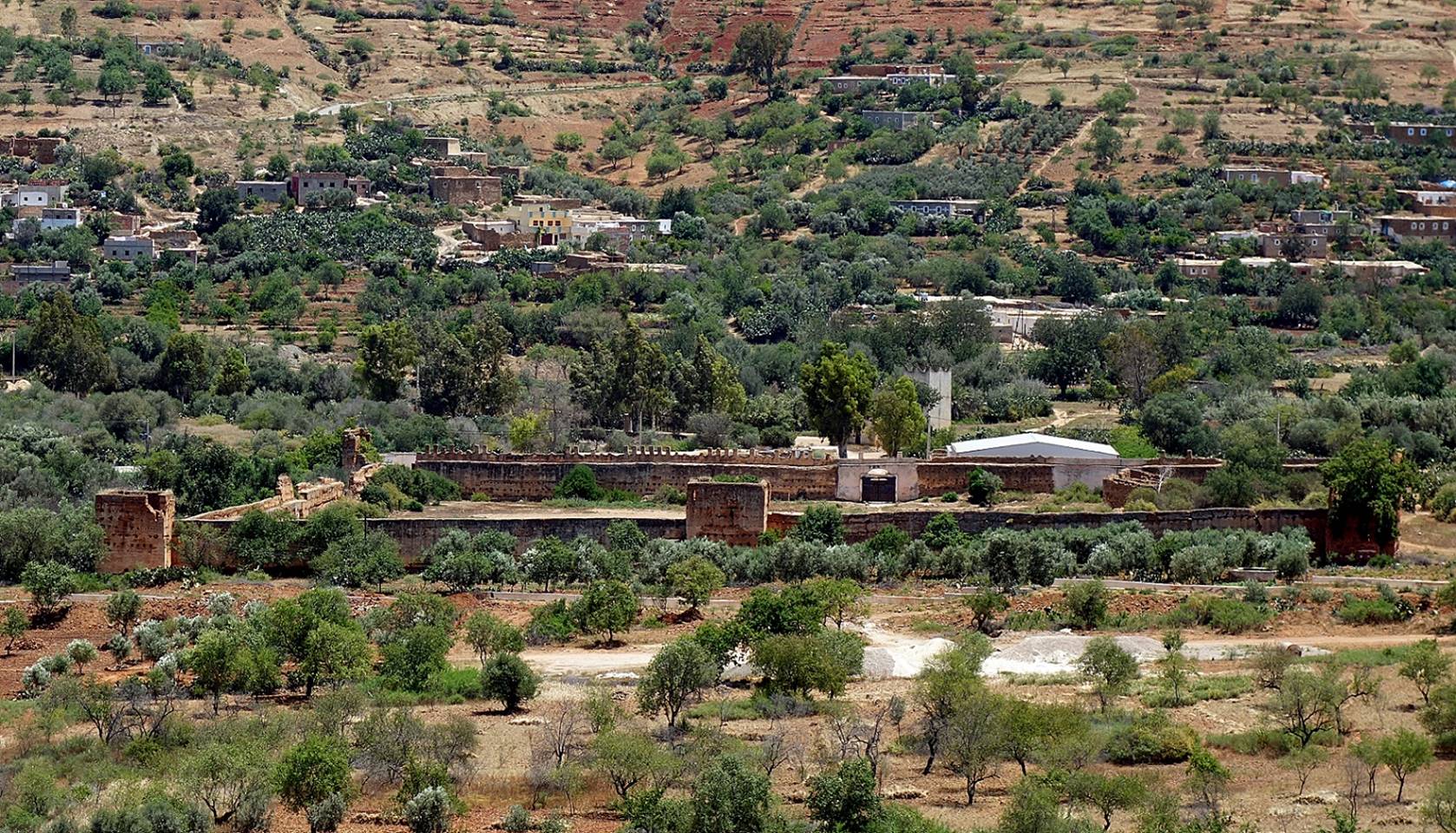
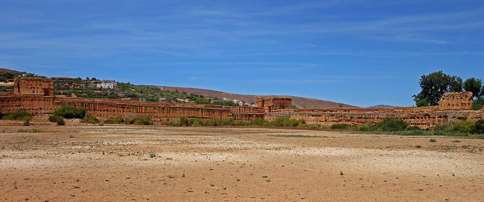
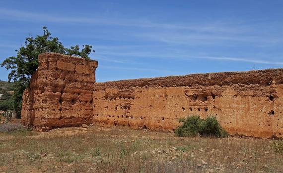
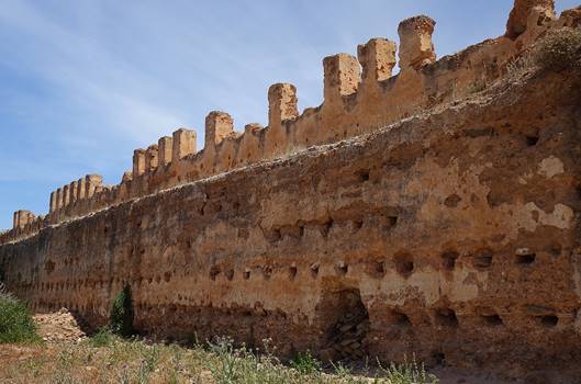
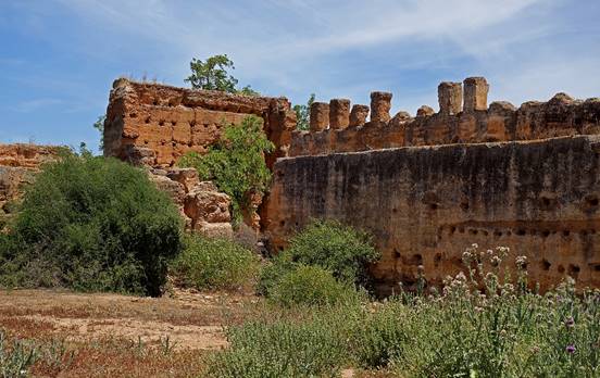
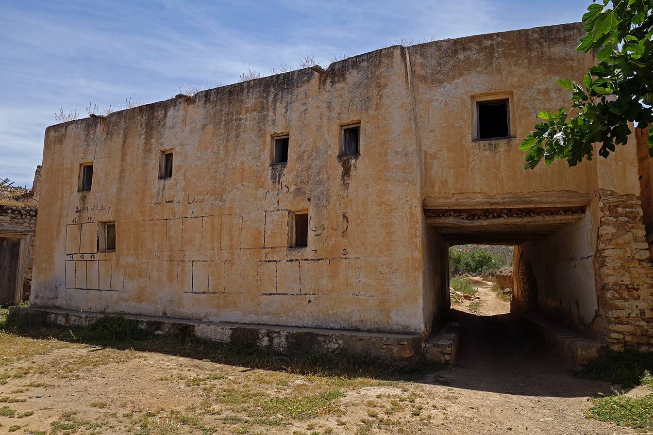
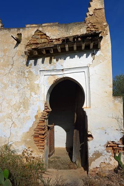
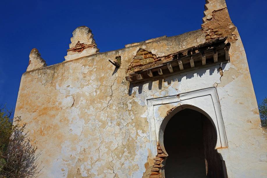
Kasbah of Snada.
Under its current form it was built during the reign of the Alawite Sultan Moulay Ismail (1672-1727) as a protection against attackers
coming from the sea. Some historians say that it was built earlier, under the
Saadian dynasty (1511-1659), and only restored by Moulay
Ismail. The remaining walls of the Kasbah form a 120mx120m square. Today, these
walls are crumbing and the interior courtyard is used as a soccer field.
|
|
|
|
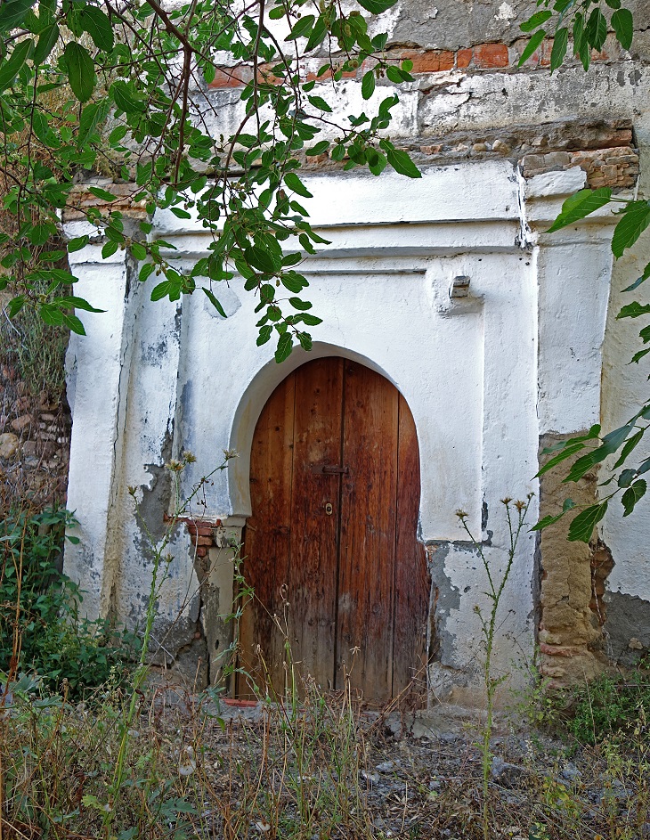
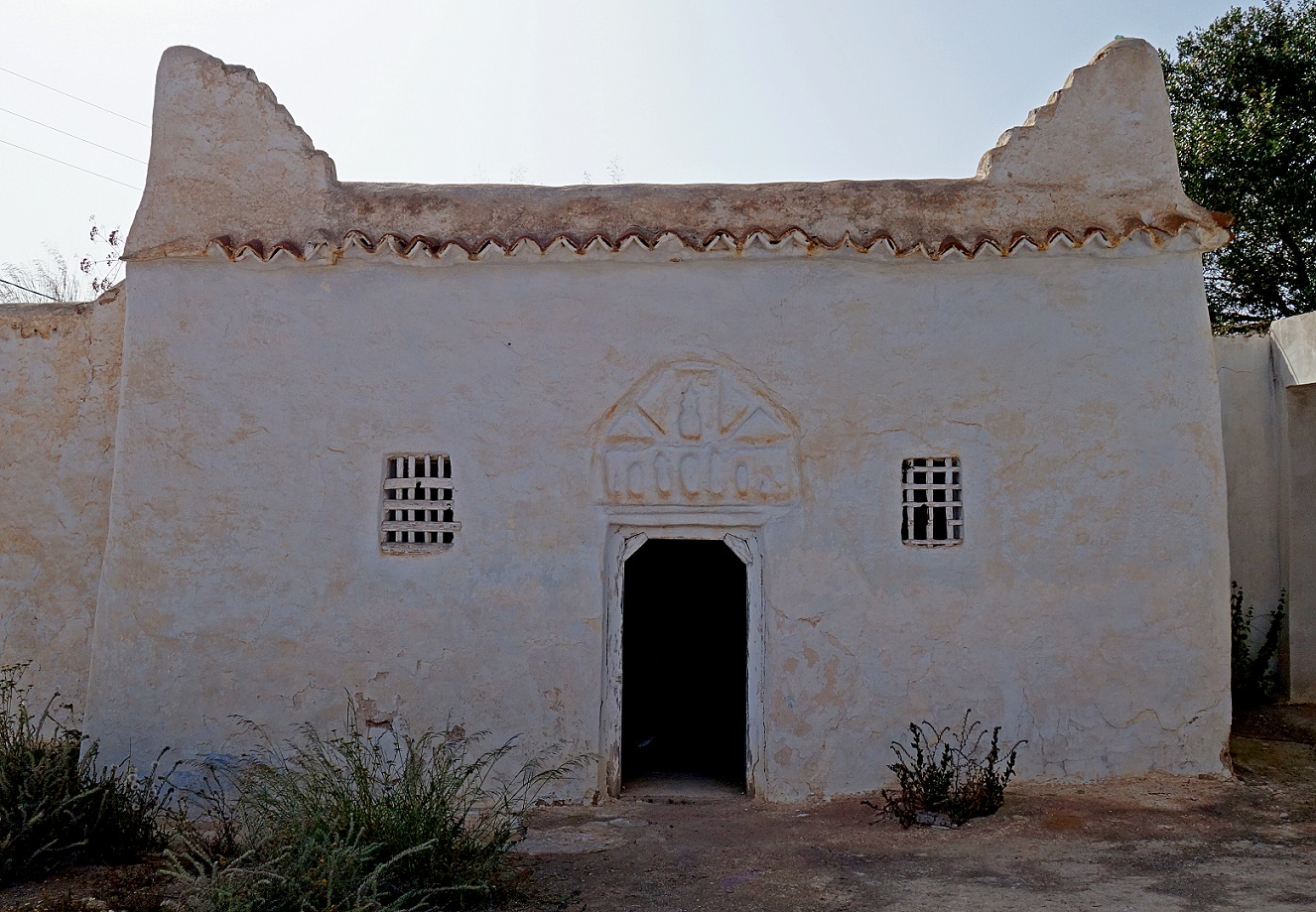
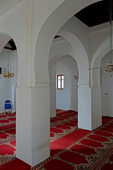
Old mosque in Snada,
which is also in desperate need of restoration.
|
|
|
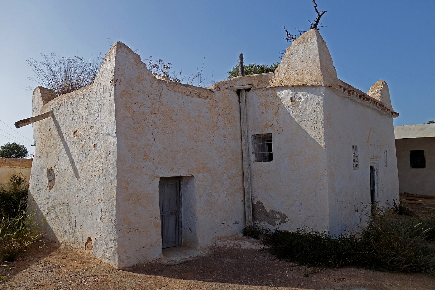
Two crumbling marabouts in Snada
|
|
|
|
|
|
Between Snada
and Adouz.
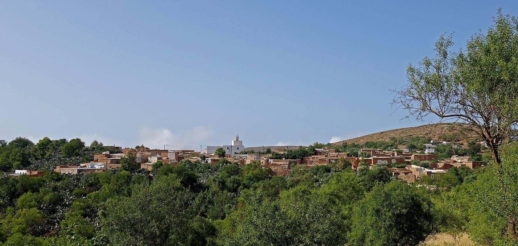
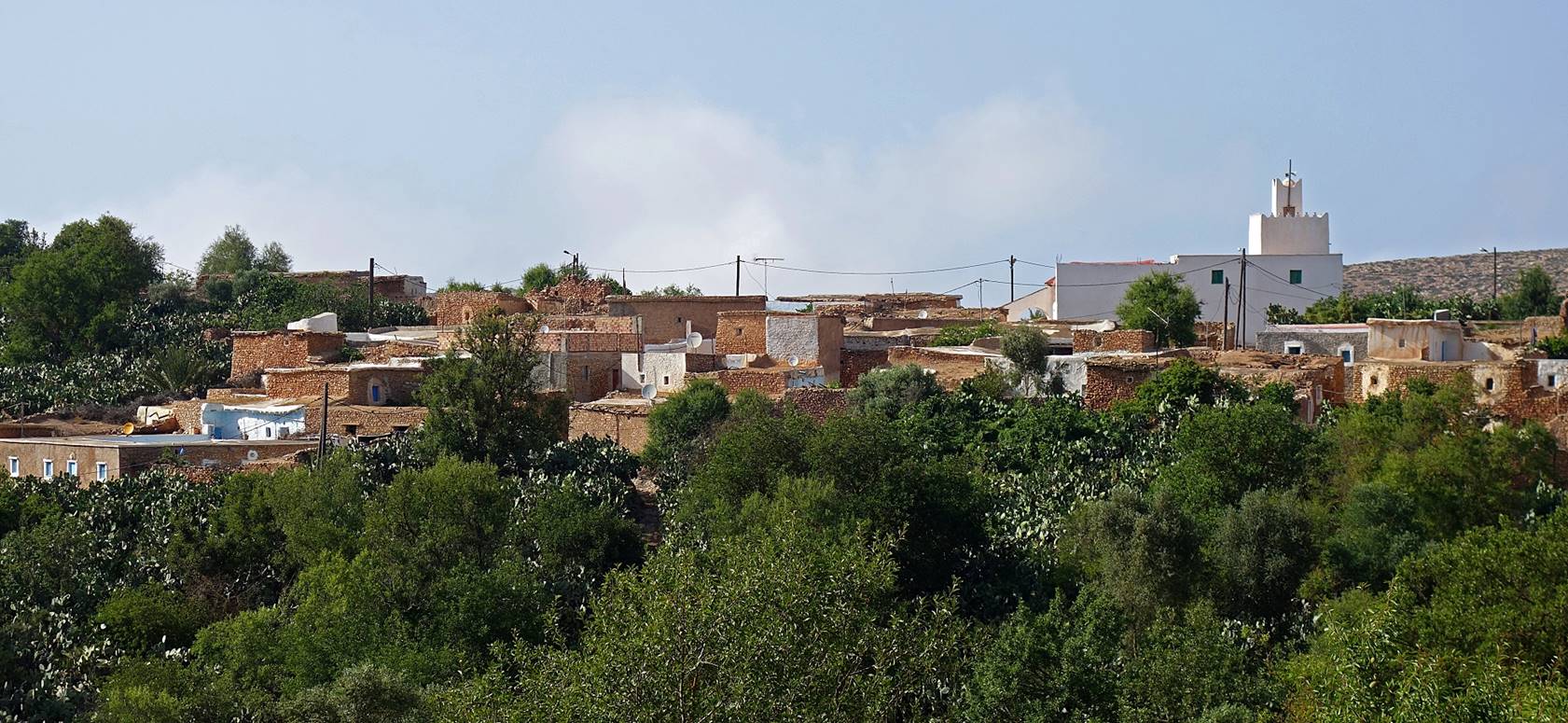
Village of Adouz,
the most traditional village in the region. During the 17th, 18th, and 19th
centuries, Adouz was a piracy center against European
ships in the western Mediterranean sea. In 1896, under
pressure from European countries, the village was looted and destroyed by
soldiers sent by Sultan Moulay Abdelaziz.
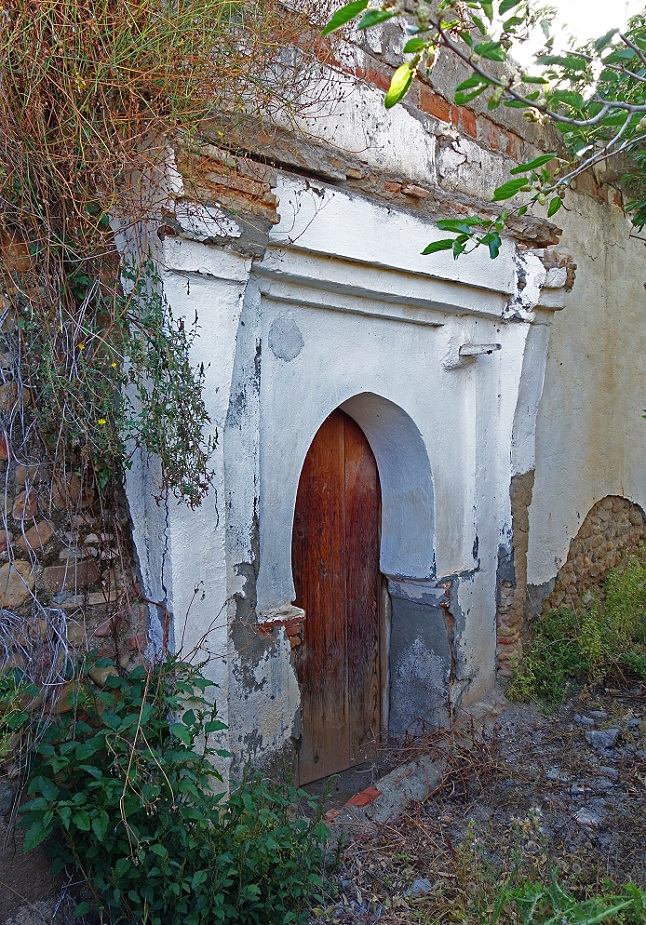
Marabout of Al Haj Hassoun. Al Haj
Hassoun, a descendant of prophet Mahomed′s companion Abou
Bakr, created a zaouia (a sort of religious center)
in Adouz after his return from Mecca in 1171.
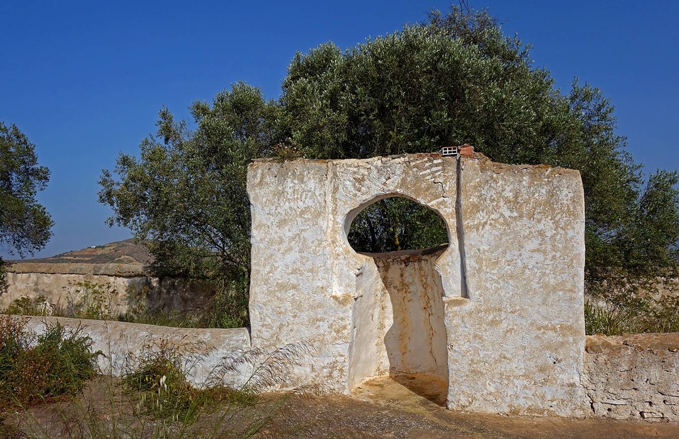
Open-air mirhab
in the marabout′s courtyard.
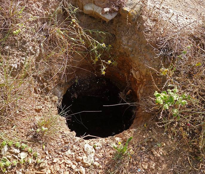
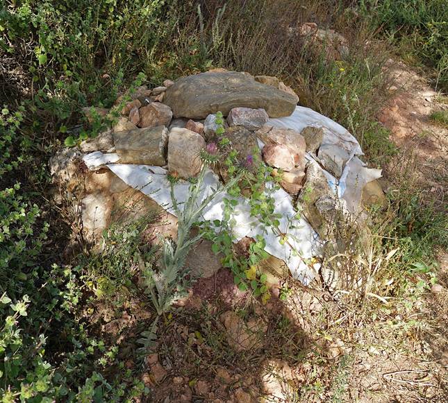
Two of the many holes dug into the
ground in the area around the marabout, in which the people of Adouz store their grains. Once of a hole is filled, it is
covered with rocks (and, nowadays, plastic). I was told that this tradition comes
from a time when protecting grains from thieves was necessary.
|
|
|
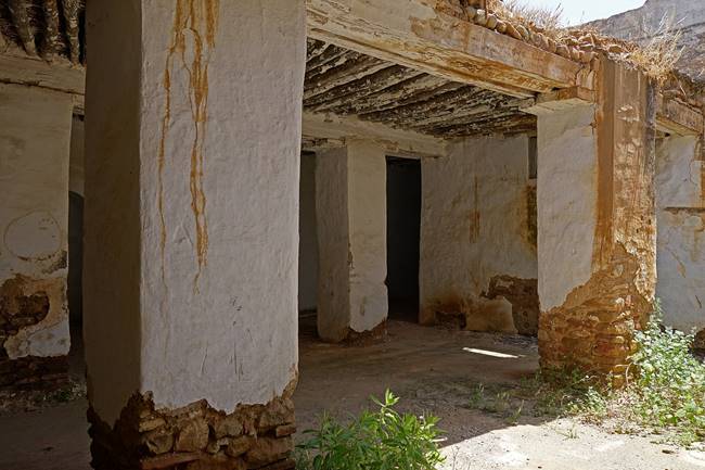
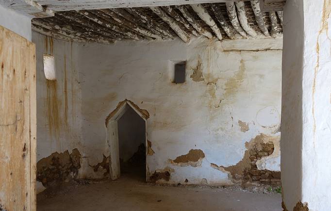
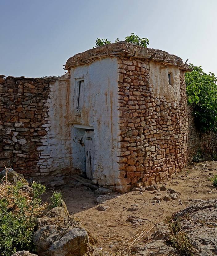
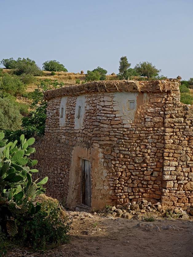
Traditional houses in Adouz.
|
|
|
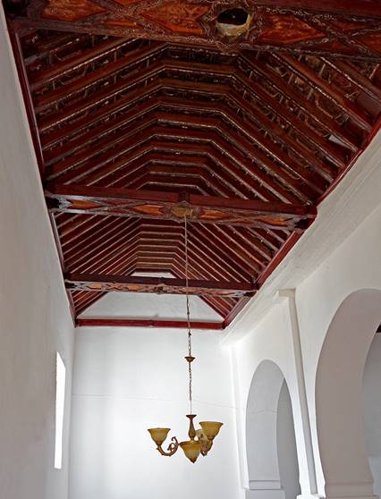
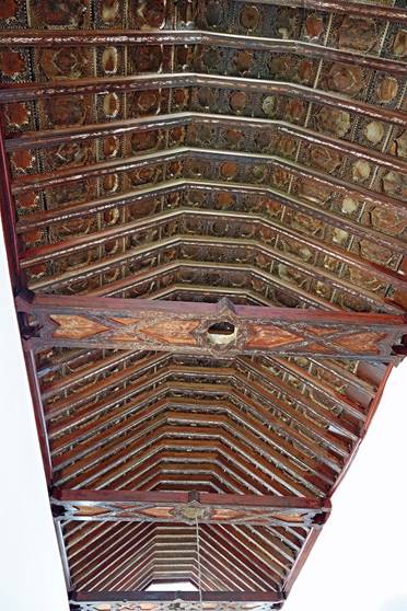
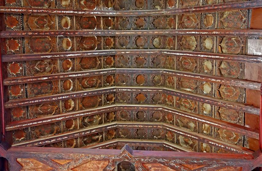
The mosque of Adouz built in the 14th century
during the Merinid dynasty (at about the same time as
the one in Mestassa) and its magnificent ceiling.
|
|
|
|
|
|
|
|
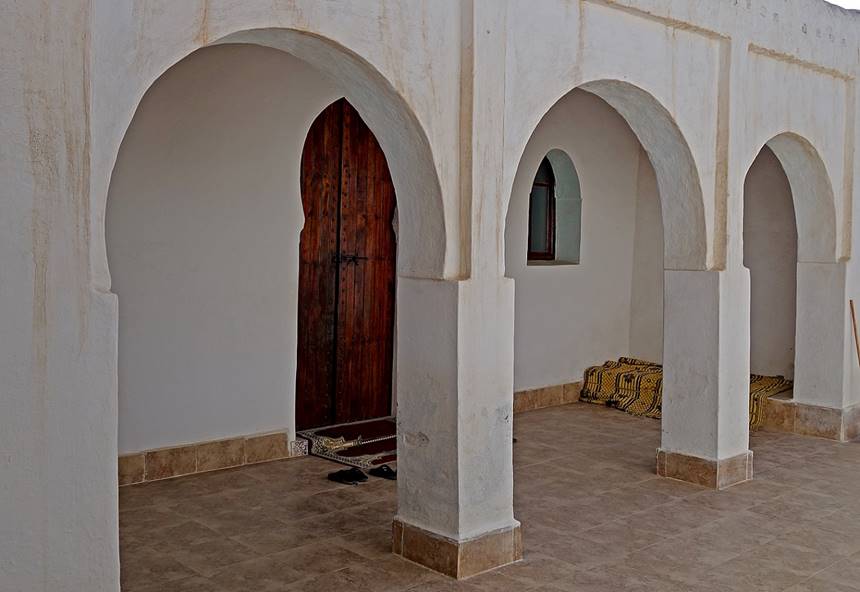
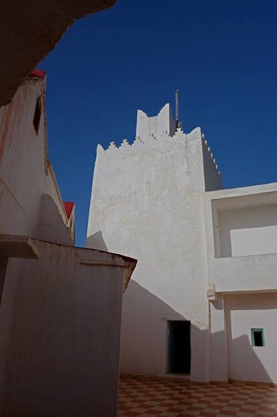
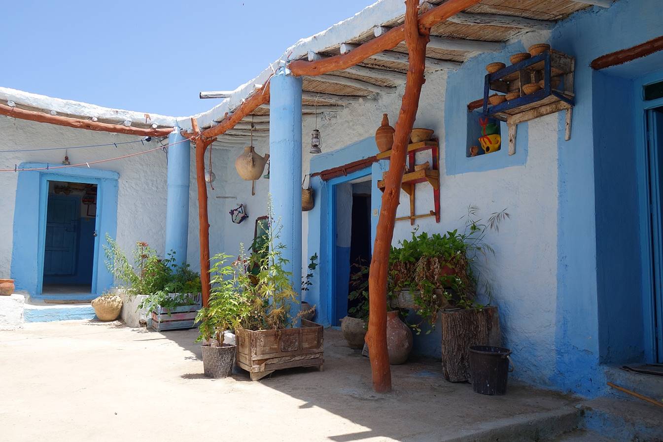
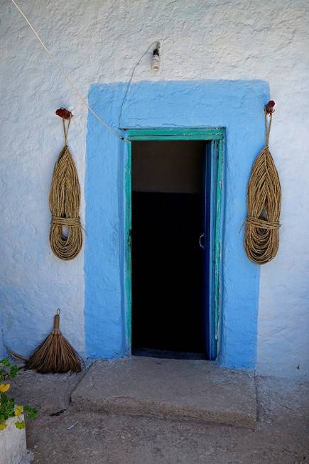
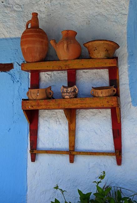
Adouz is also home to a very friendly and
beautifully decorated gite.
|
|
|
|
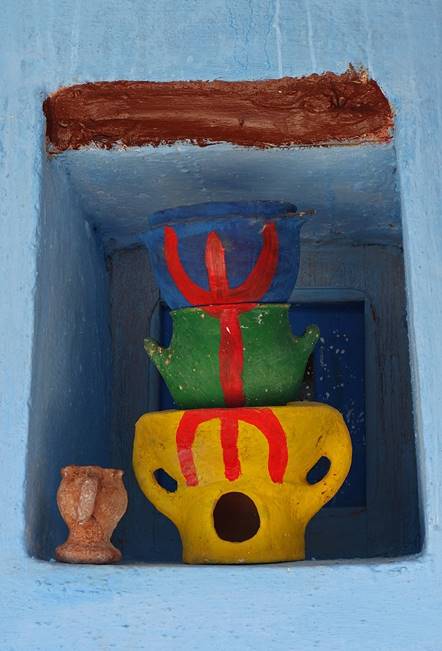
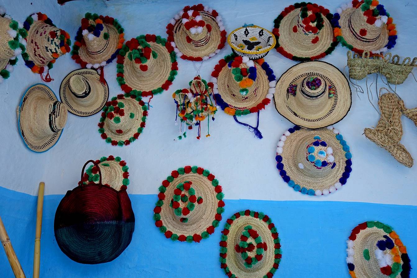
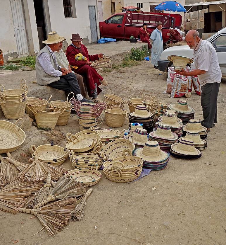
[Collection of typical hats from the Rif
region.]
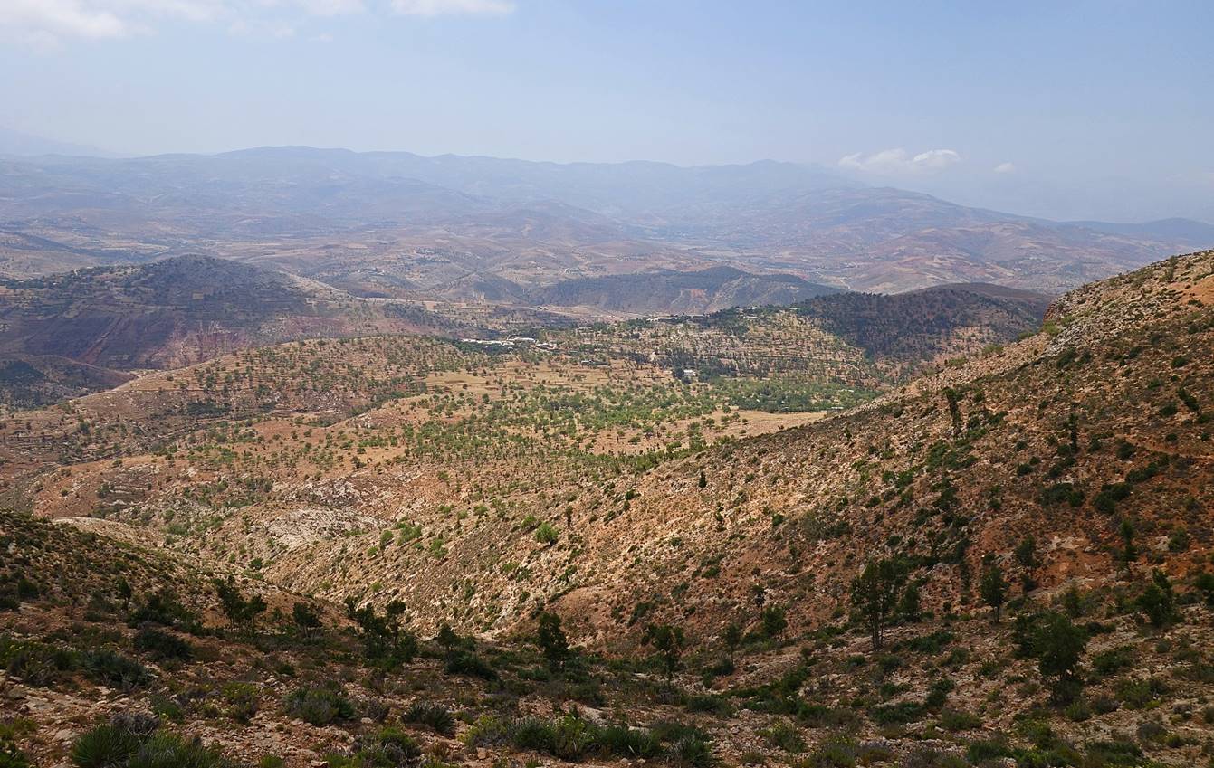
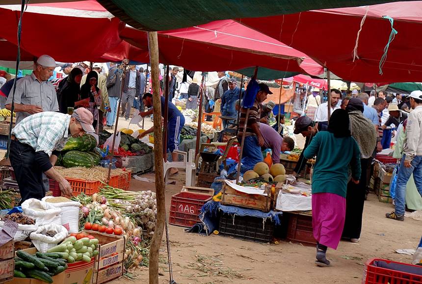
View over Rouadi,
the end of this itinerary.
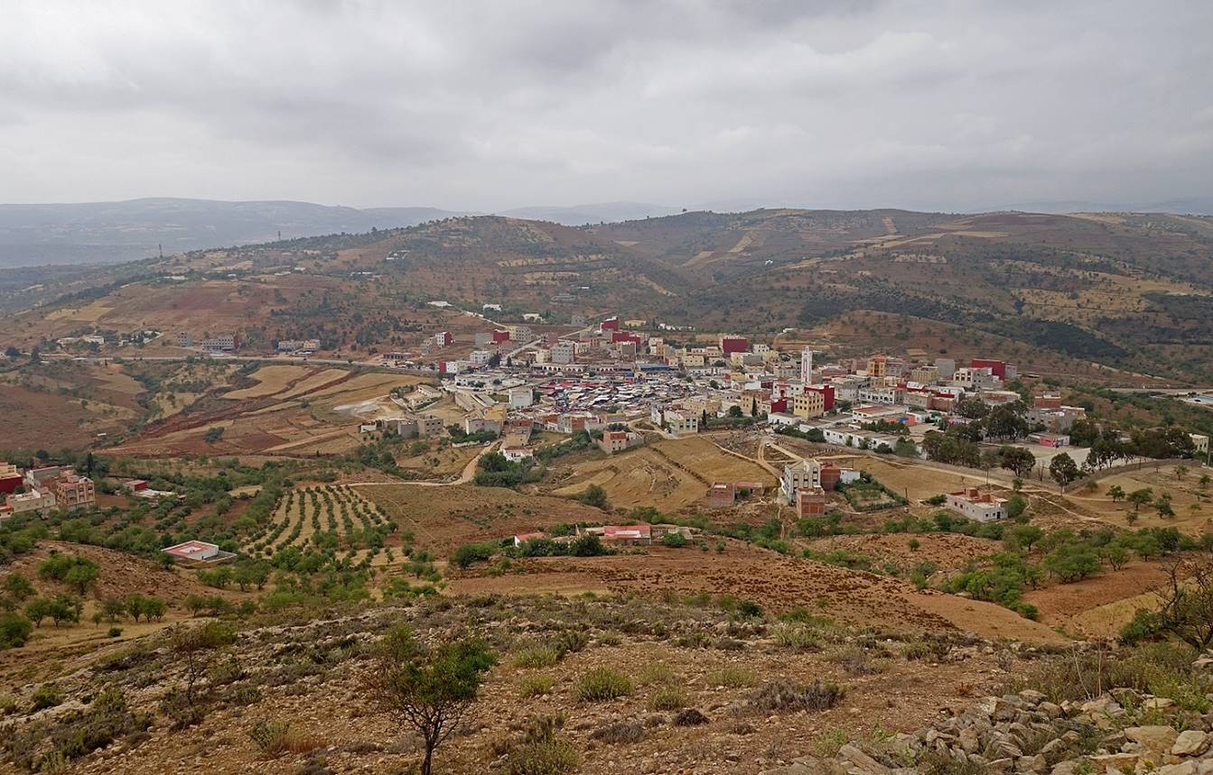
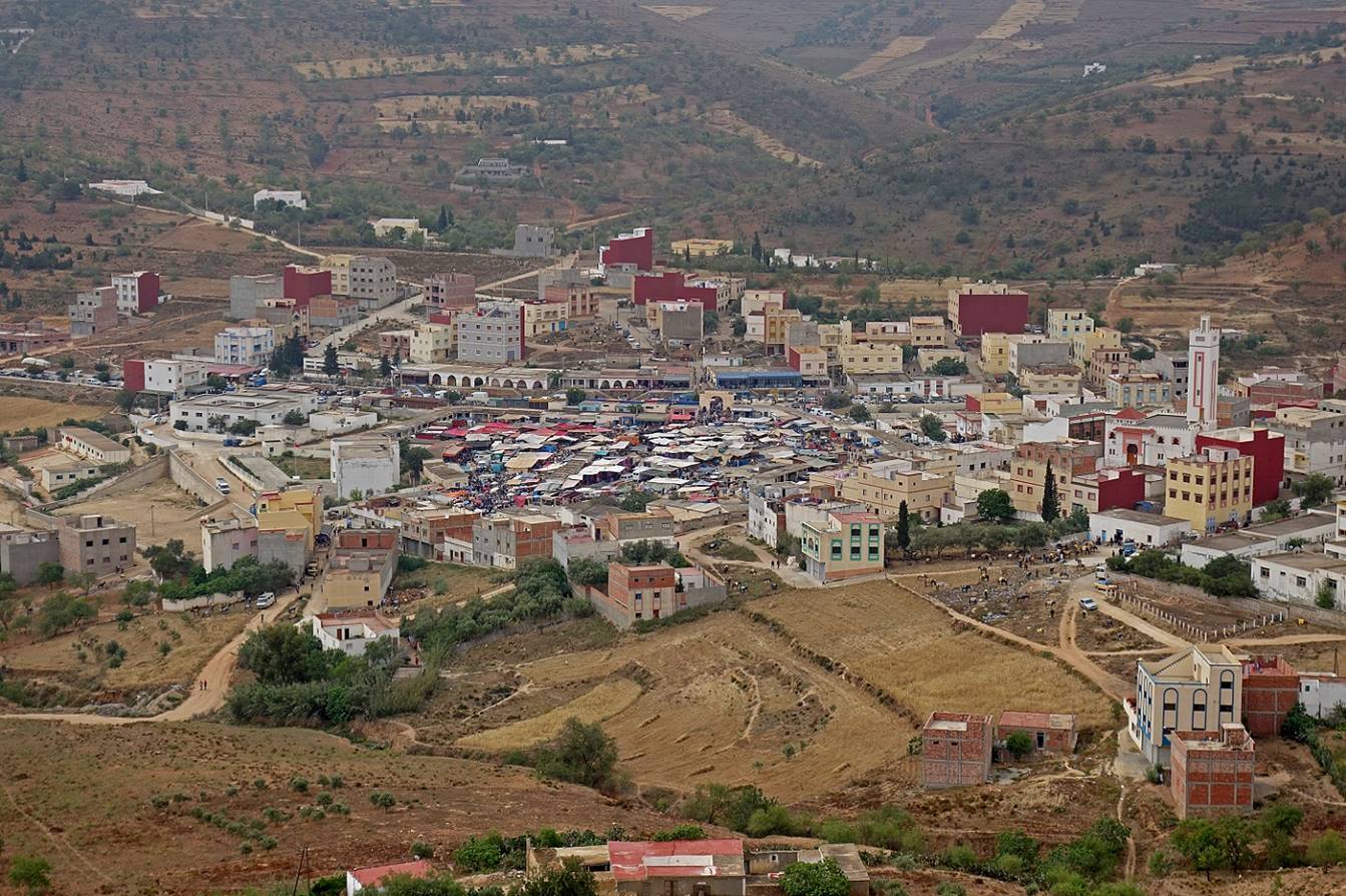
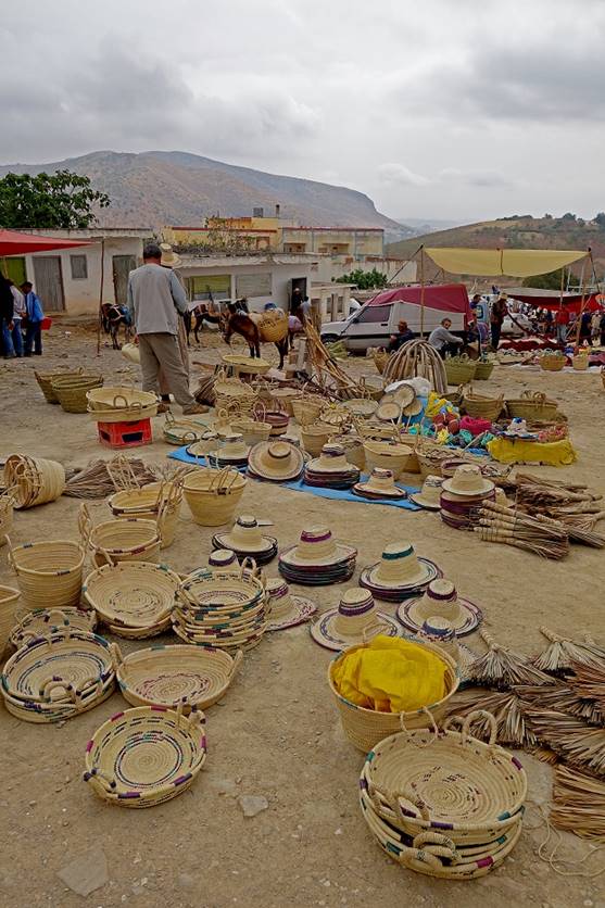
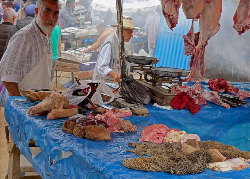
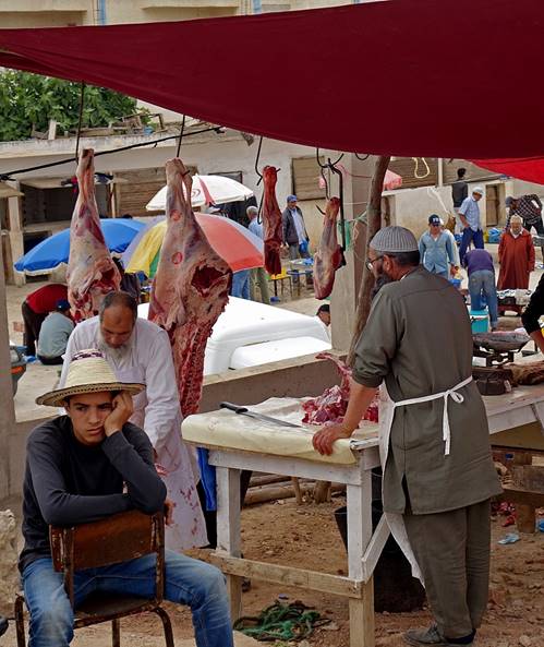
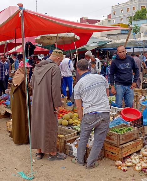
It was Sunday, the souk day in Rouadi.
|
|
|
|
|
|
|
|
|
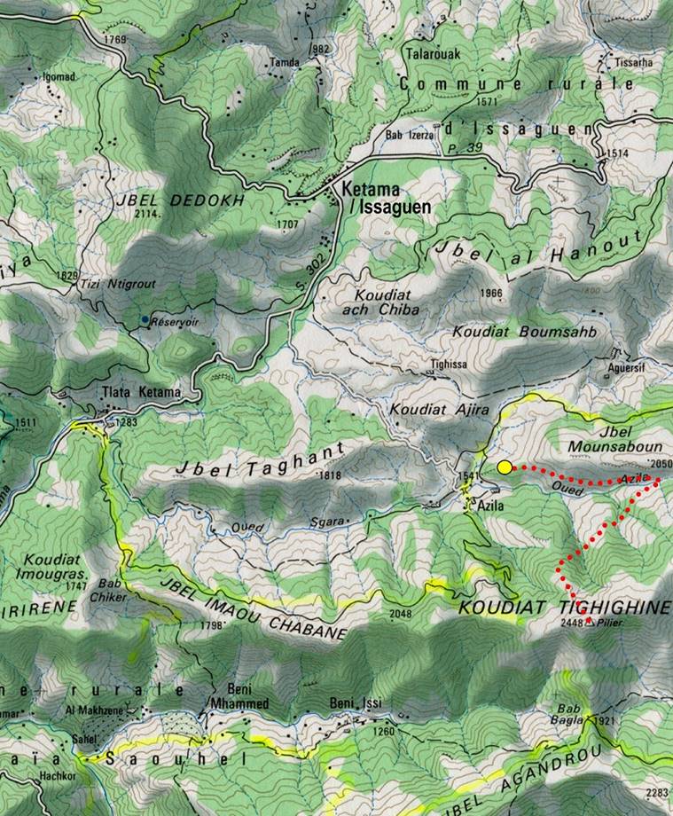
Ascent of Jebel Tighighine:
At 2448m Jebel Tighighine
is the highest summit in the Rif mountain range. It is
located 9.5km south of the town of Issaguen, the
world′s hashish capital (not a very pleasant place). The ascent route is
shown in red in the map below. The starting point is located near the village
of Azila at approximately 1600m in elevation.
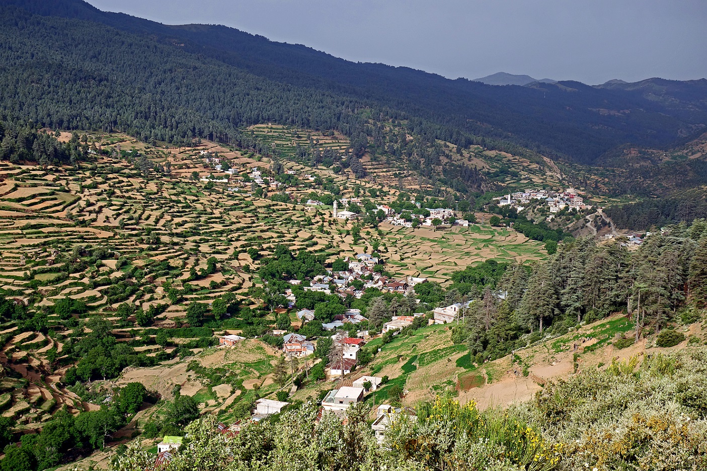
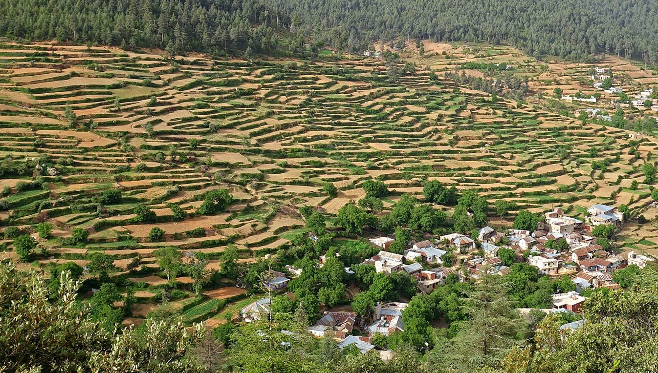
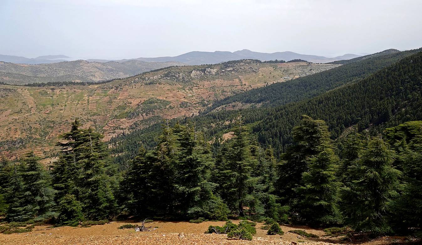
Terraces along the valley of the Oued Azila. All these extremely
well-maintained terraces are used to grow cannabis.
View of Jebel Tighighine
from the valley.
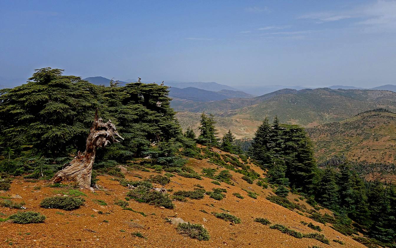
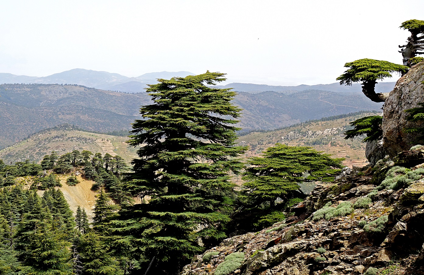
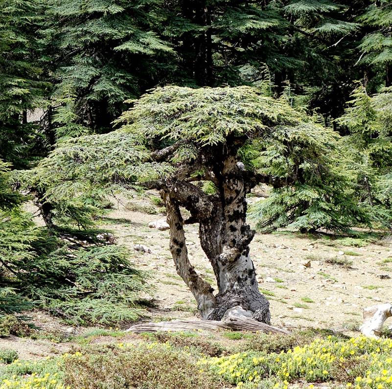
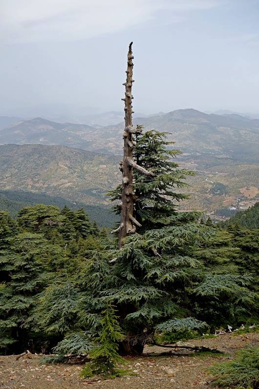
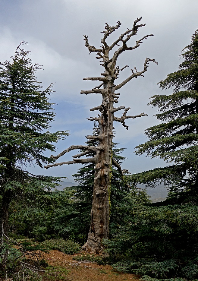
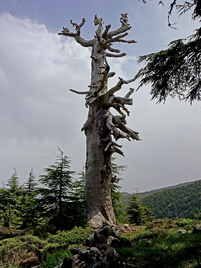
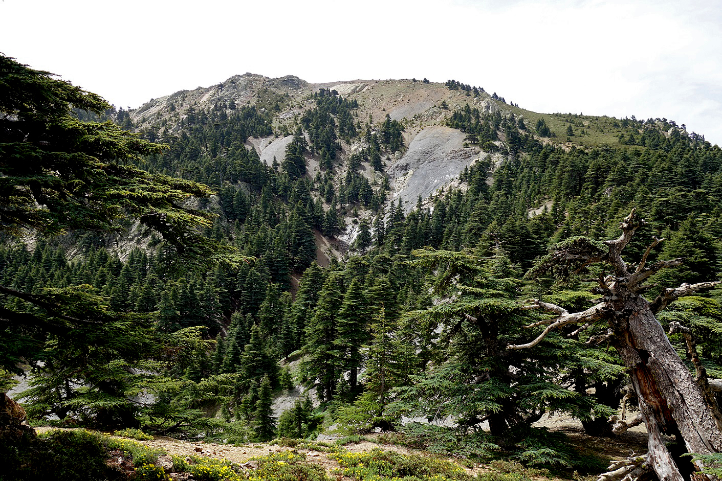
After leaving the valley, the path
crosses beautiful cedar forests.
|
|
|
|
|
|
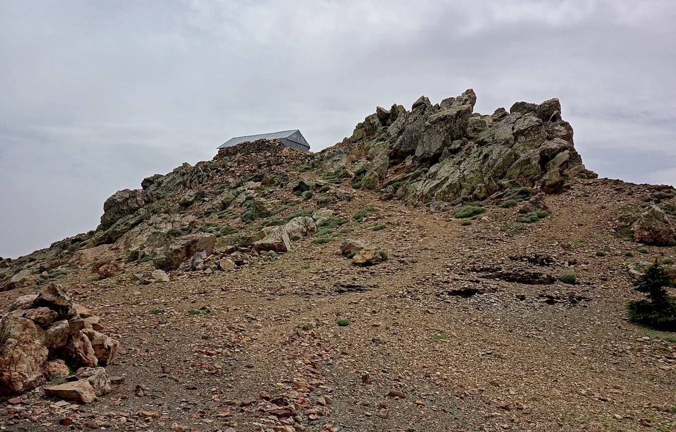
Getting closer to the summit.
Summit of Jebel Tighighine.
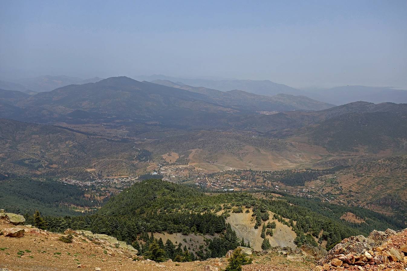
View from the summit toward the north,
with the village of Azila at the foot of the mountain
and Issaguen visible in the backround
(center-right of the picture).
![]()