Morocco (May 2023): Days 8-12 of traverse
![]()
Return
to main Morocco-2023 page | Return to my
mountaineering/trekking/travel webpage
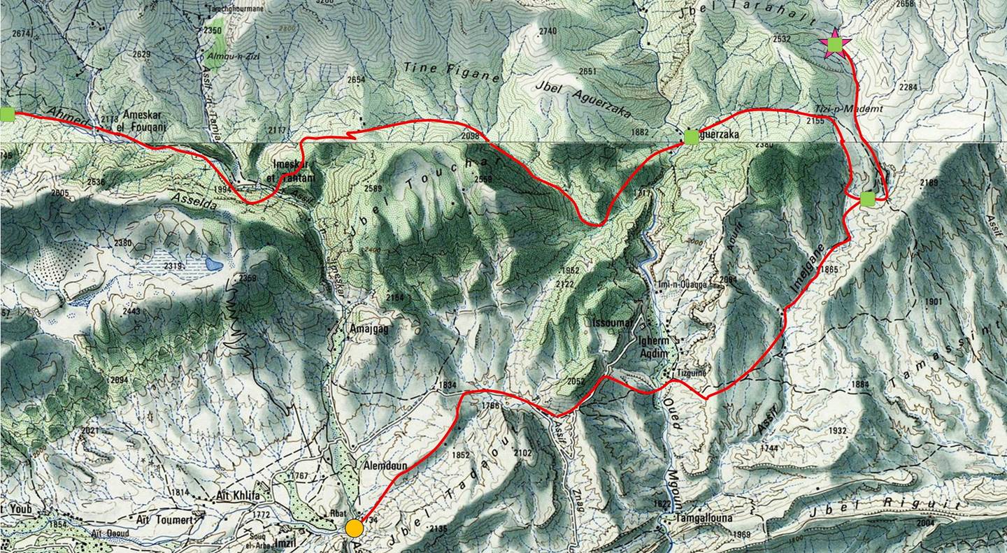
[The green squares in the map show the locations of
the successive camps.]
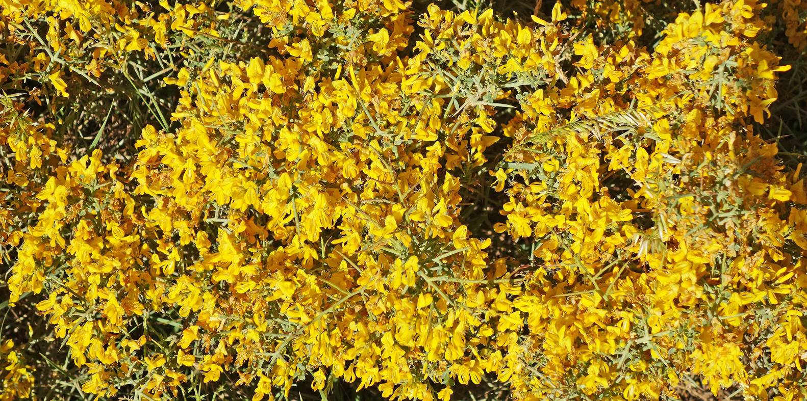
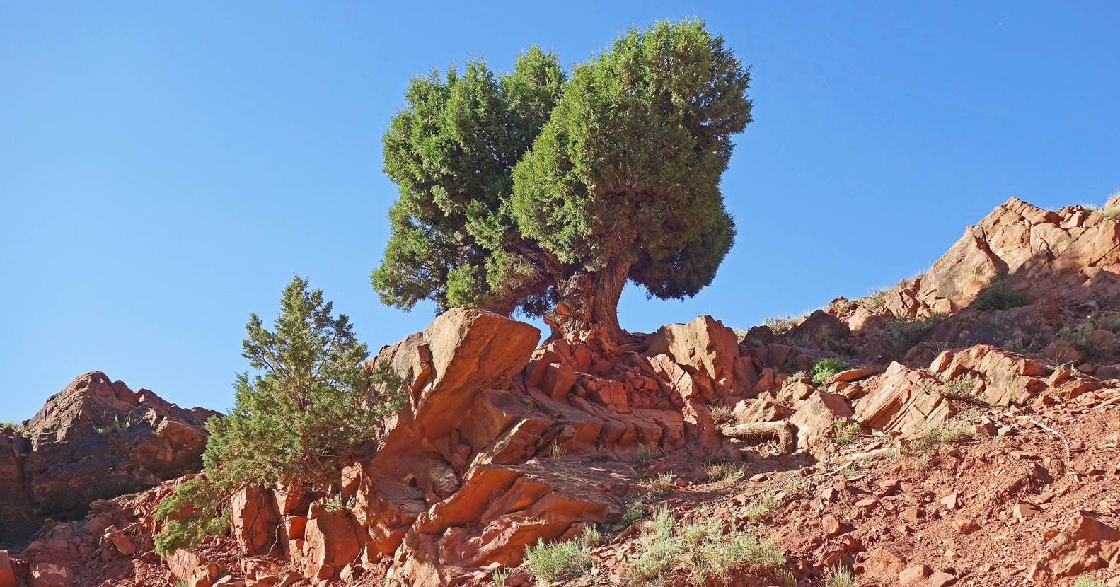
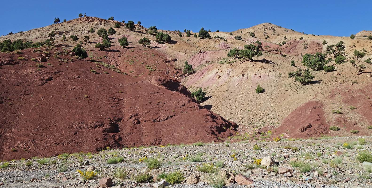
Day 8:
Bush of intense yellow flowers next to
our seventh camp.
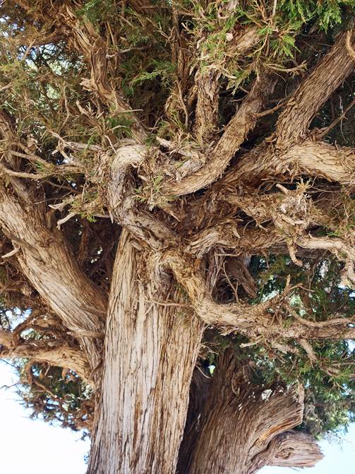
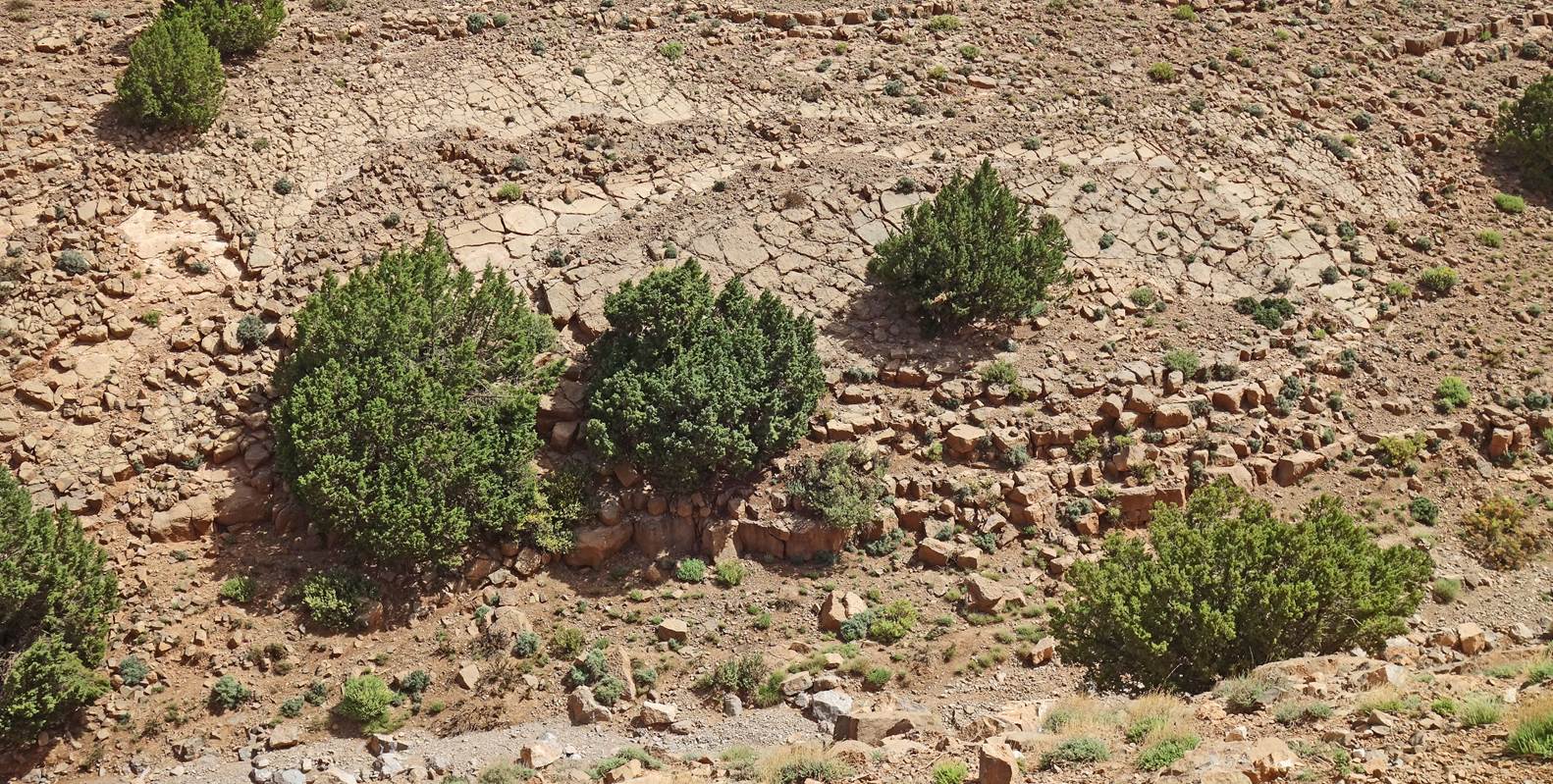
Juniper tree growing on rocks.
Colorful slope above the n-Ait Ahmed
river.
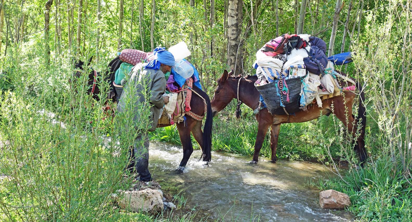
The two mules crossing the river among
cottonwood trees, guided by Zaid.
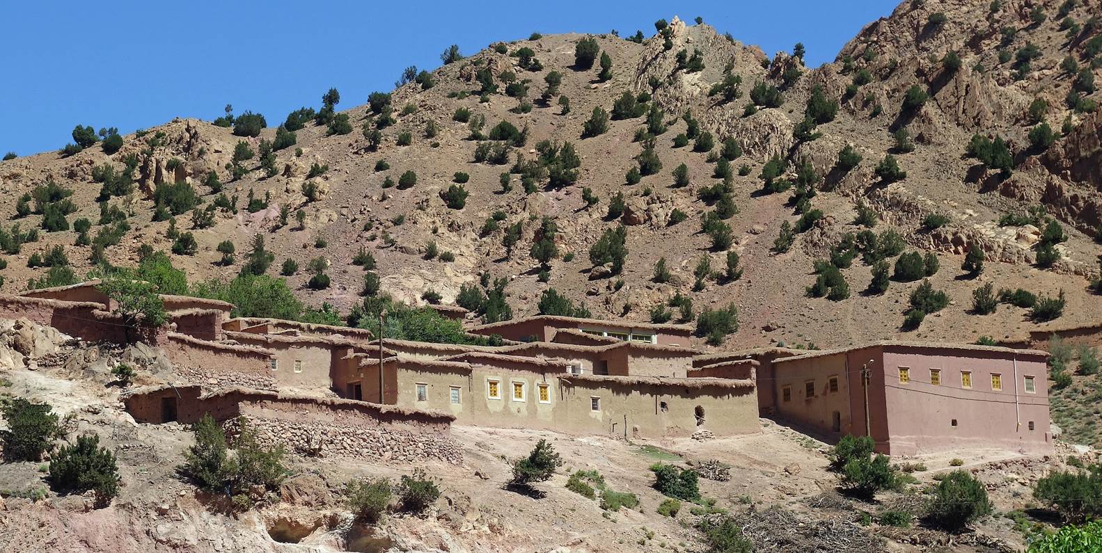
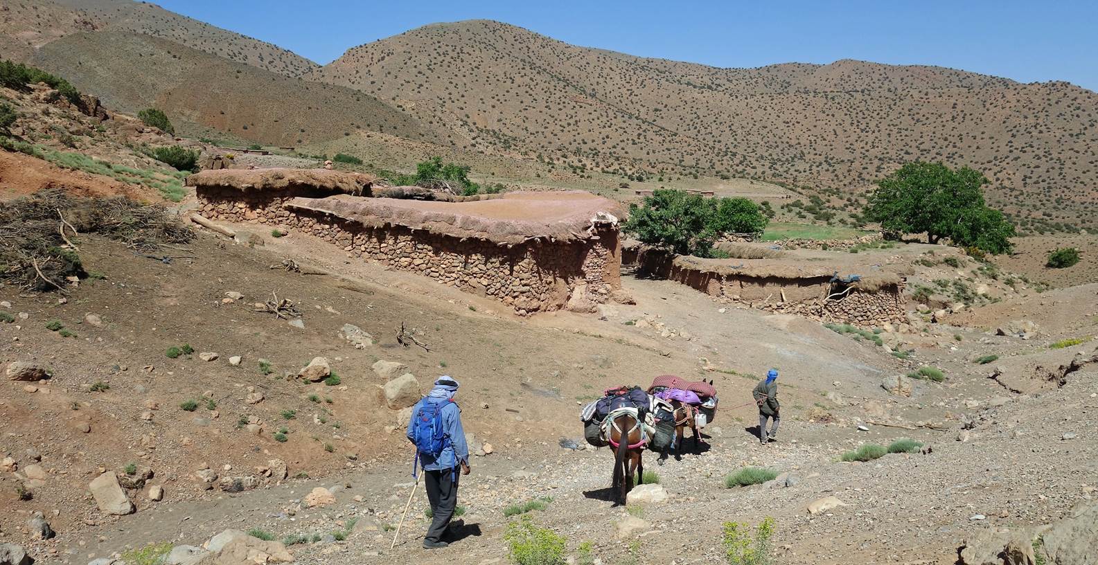
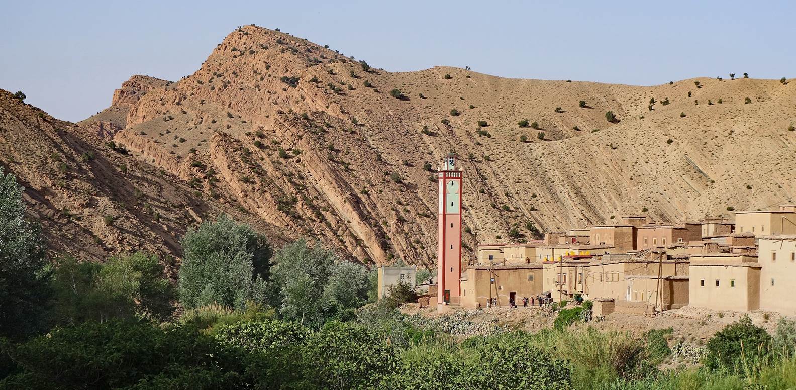
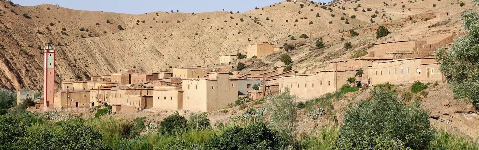
Houses in
Ameskar el Tahtani.
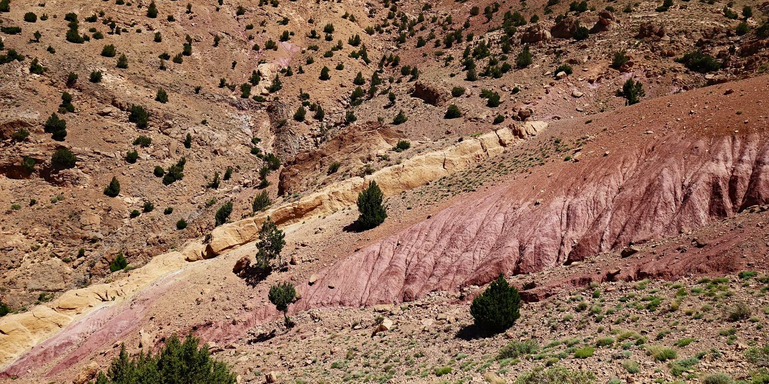
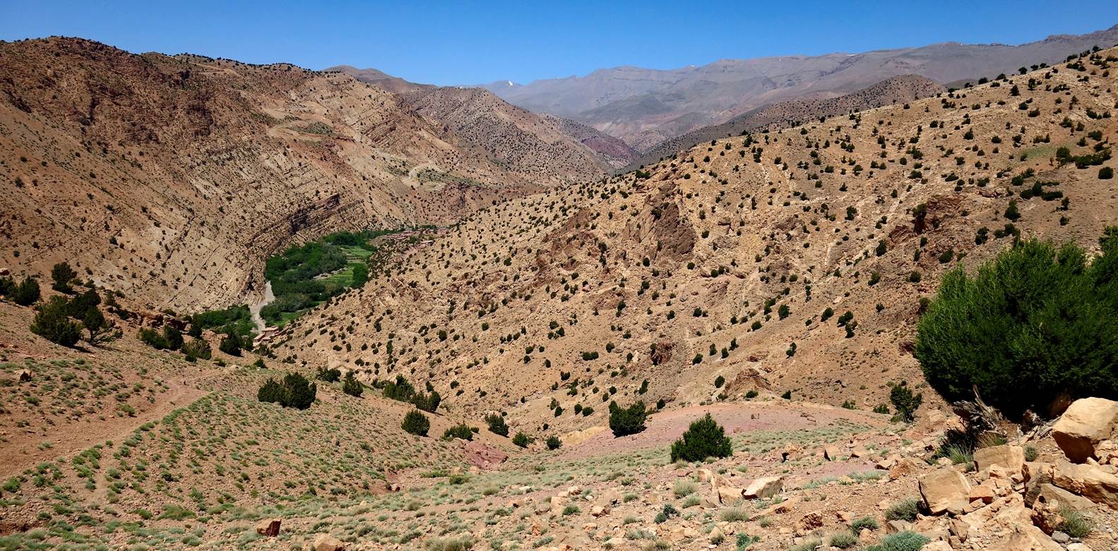
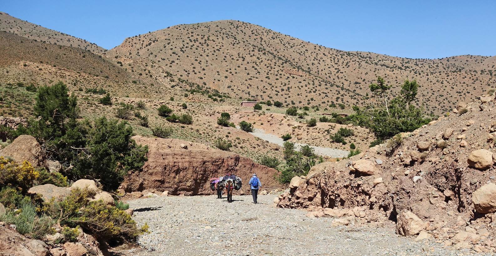
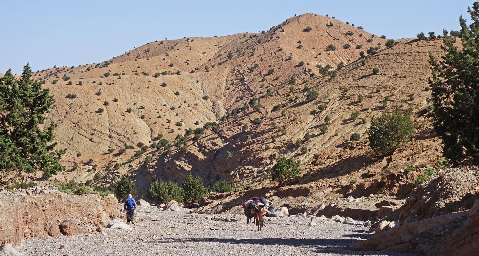
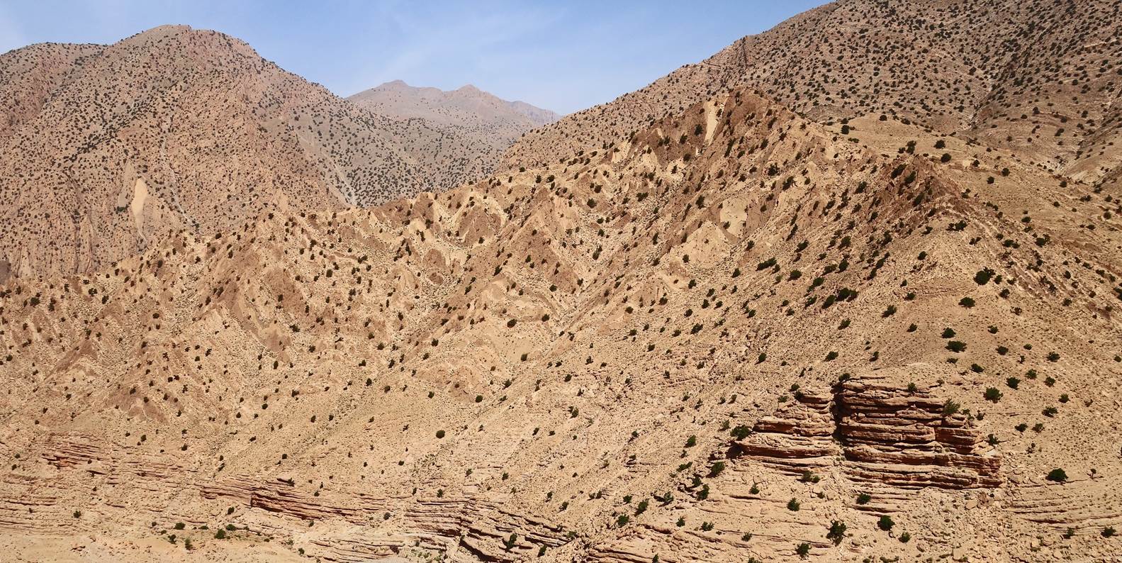
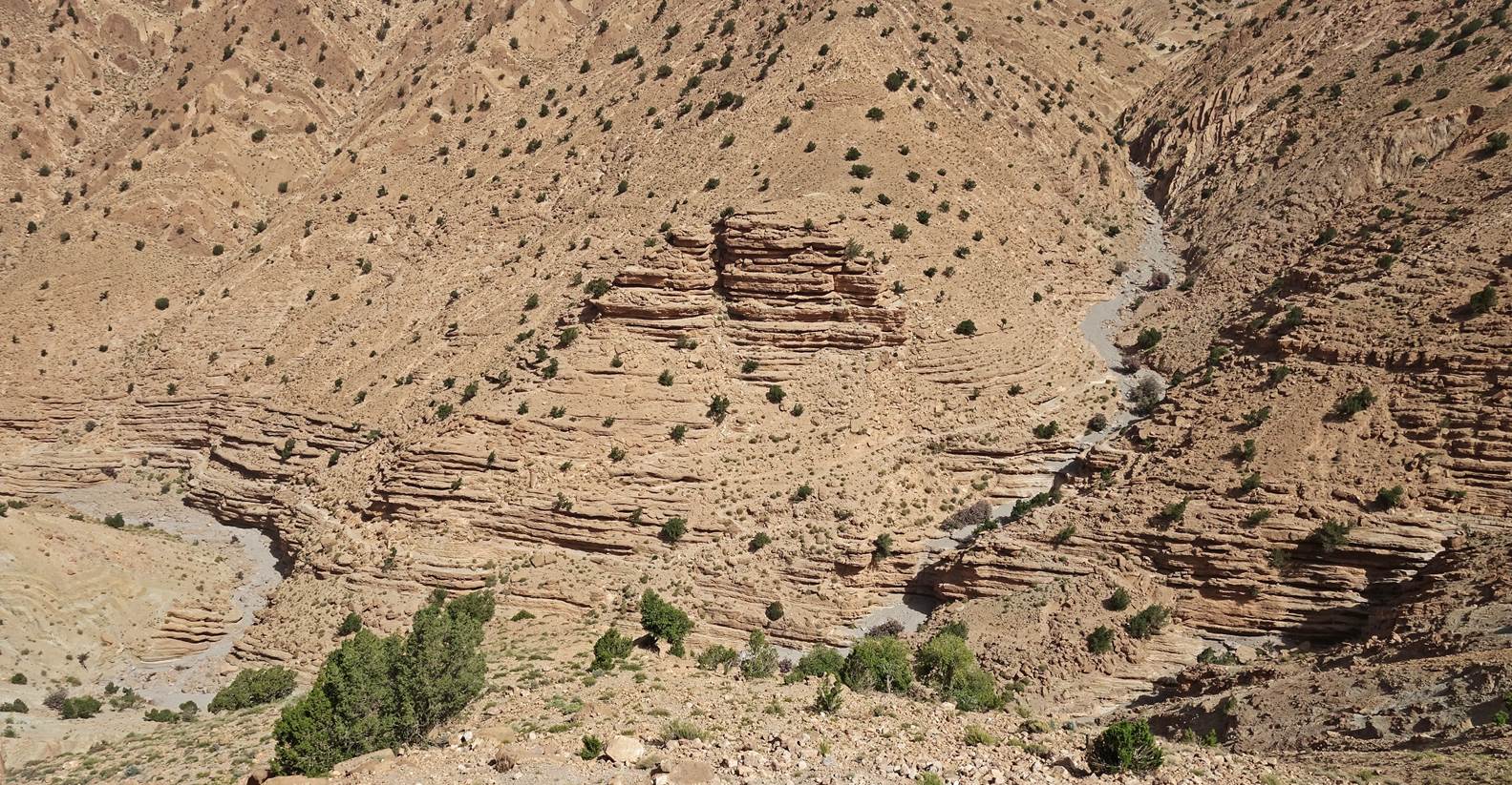
The path between the villages of
Ameskar el Tahtani and Aguerzaka first ascents a pass. Colorful terrain on the
way up to that pass.
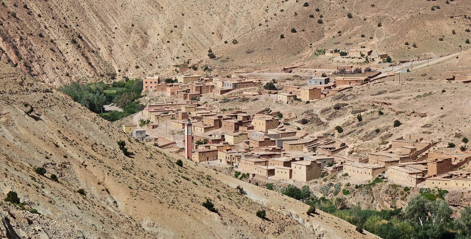
Looking
back toward the west during the ascent. The valley of the n-Ait Ahmed river is
partially visible in the middle of the photo. A few houses of Ameskar el
Tahtani are visible on the left of the photo.
Brahim, Zaid, and the mules leading the
way toward the pass.
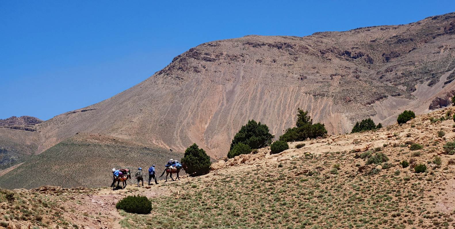
View toward the north before reaching
the pass.
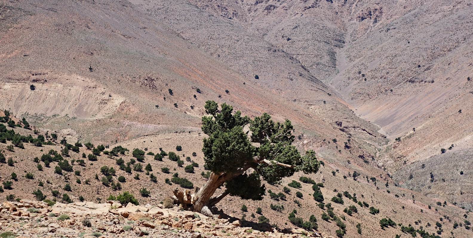
Azibs next to the pass.
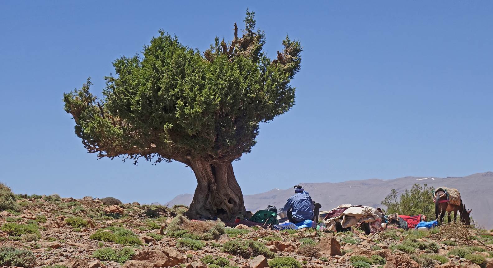
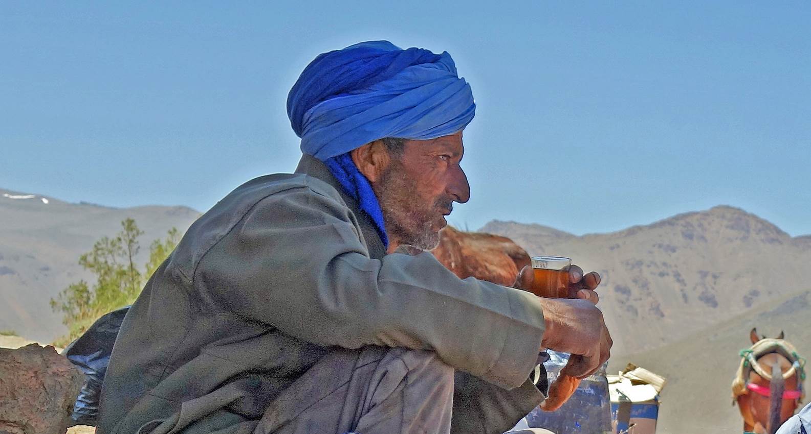
Lunch and tea under a Juniper tree near
the pass at waypoint 93.
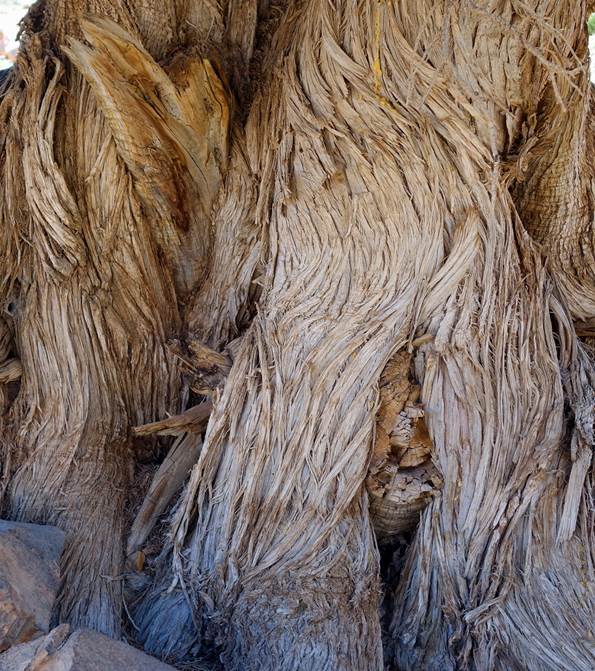
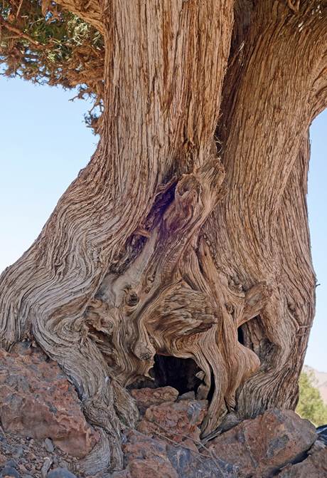
Winkled trunk and branches of a Juniper
tree.
|
|
|
|
Juniper tree overlooking the descent
from the pass.
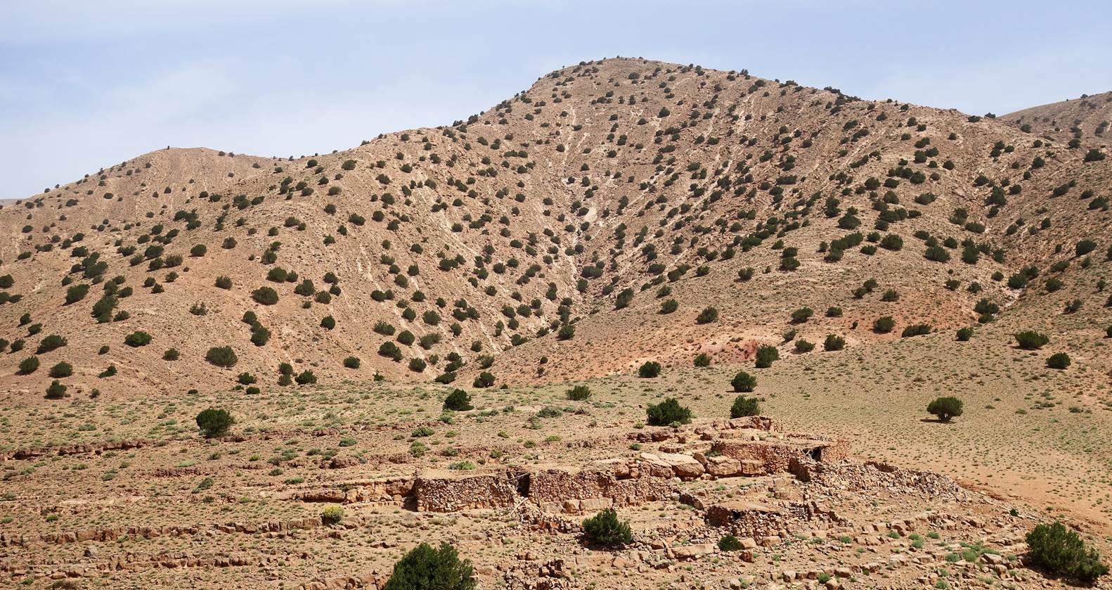
Azib and houses further down.
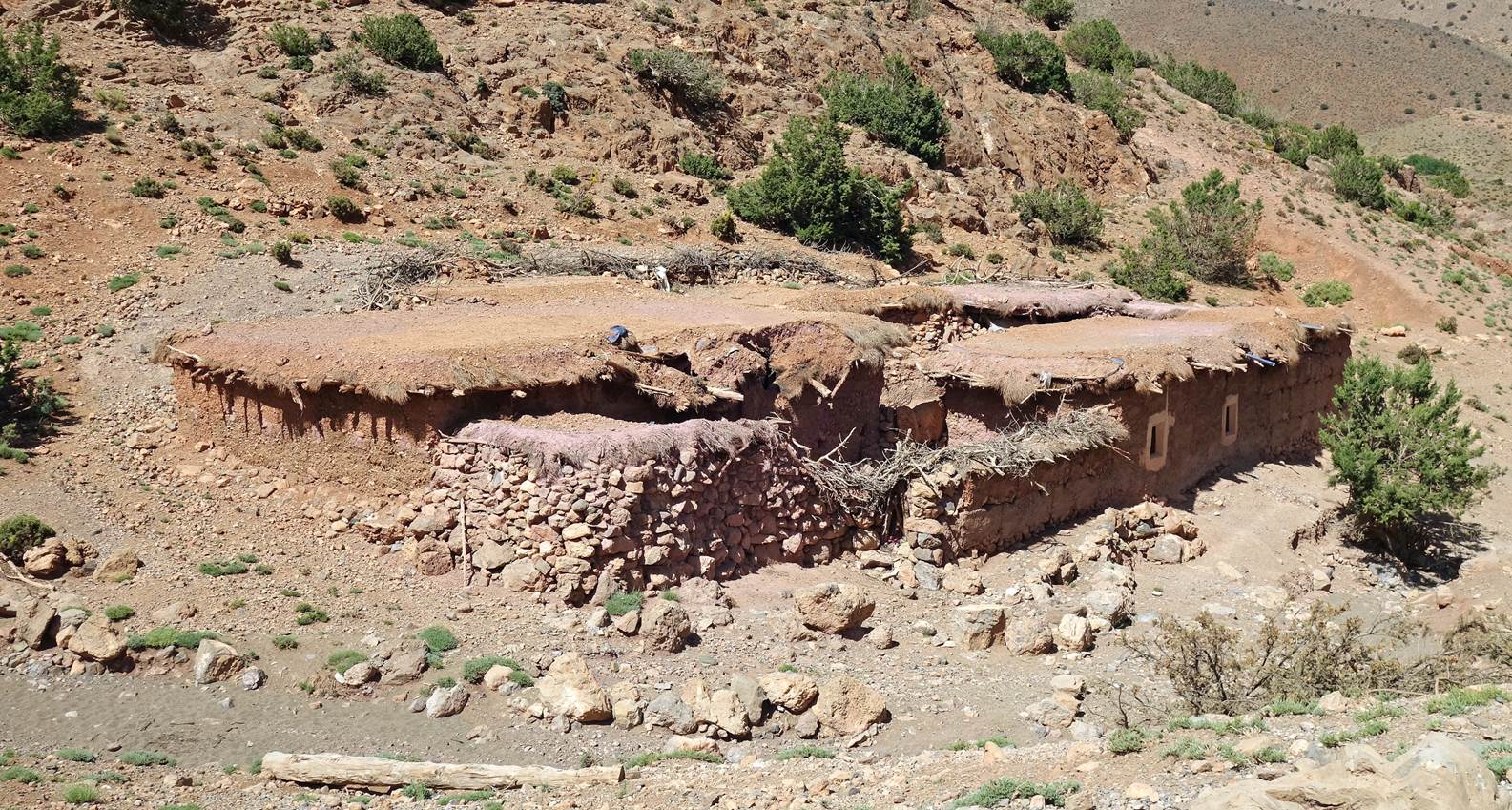
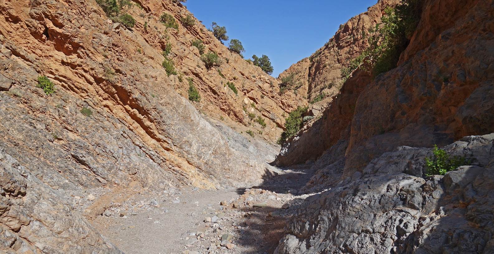
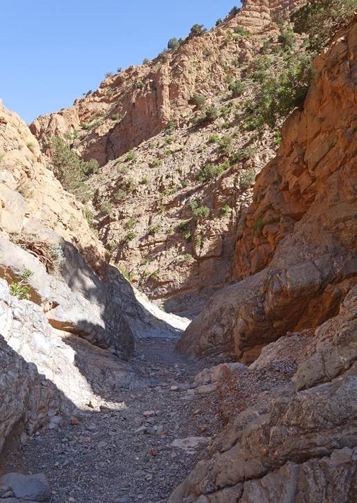
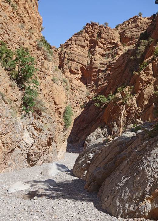
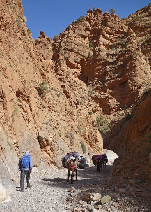
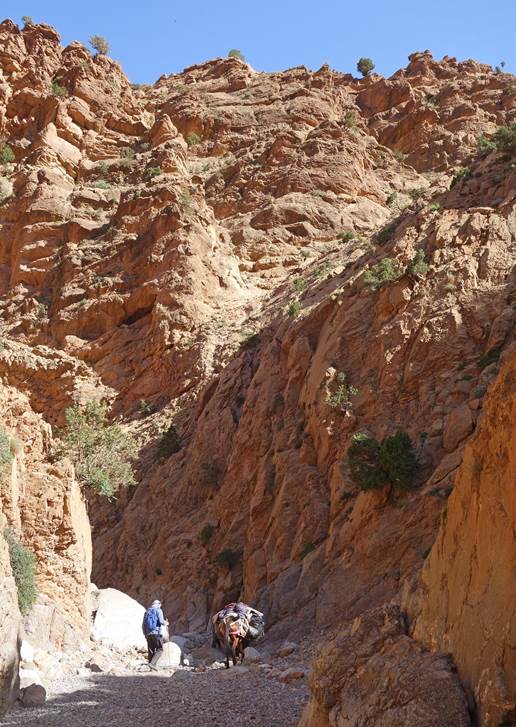
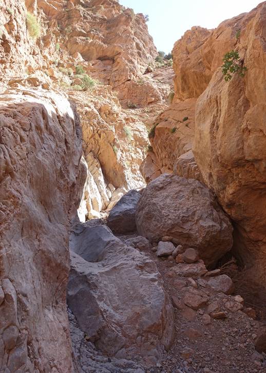
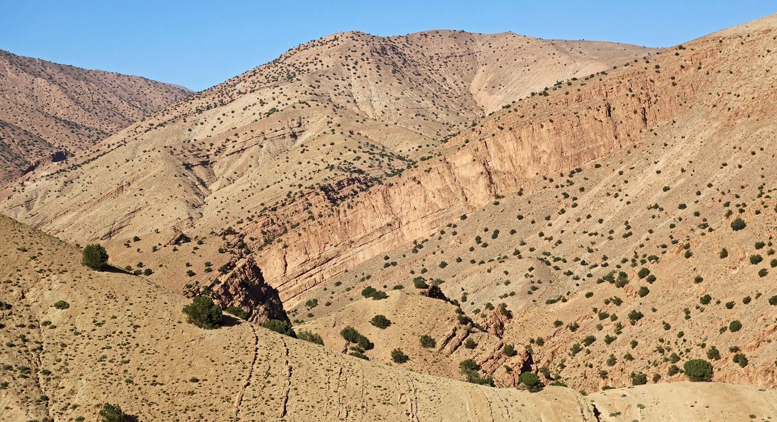
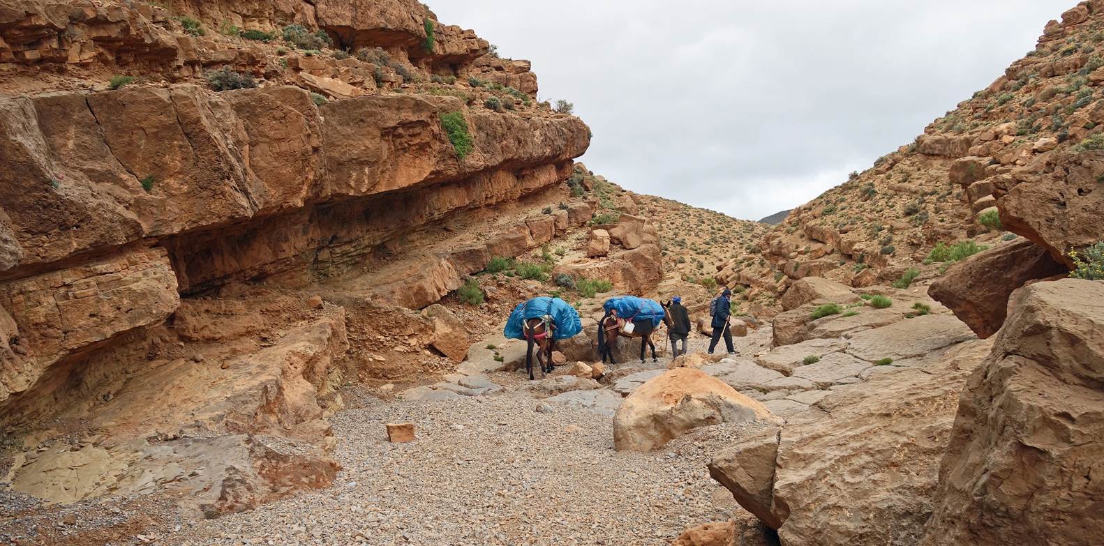
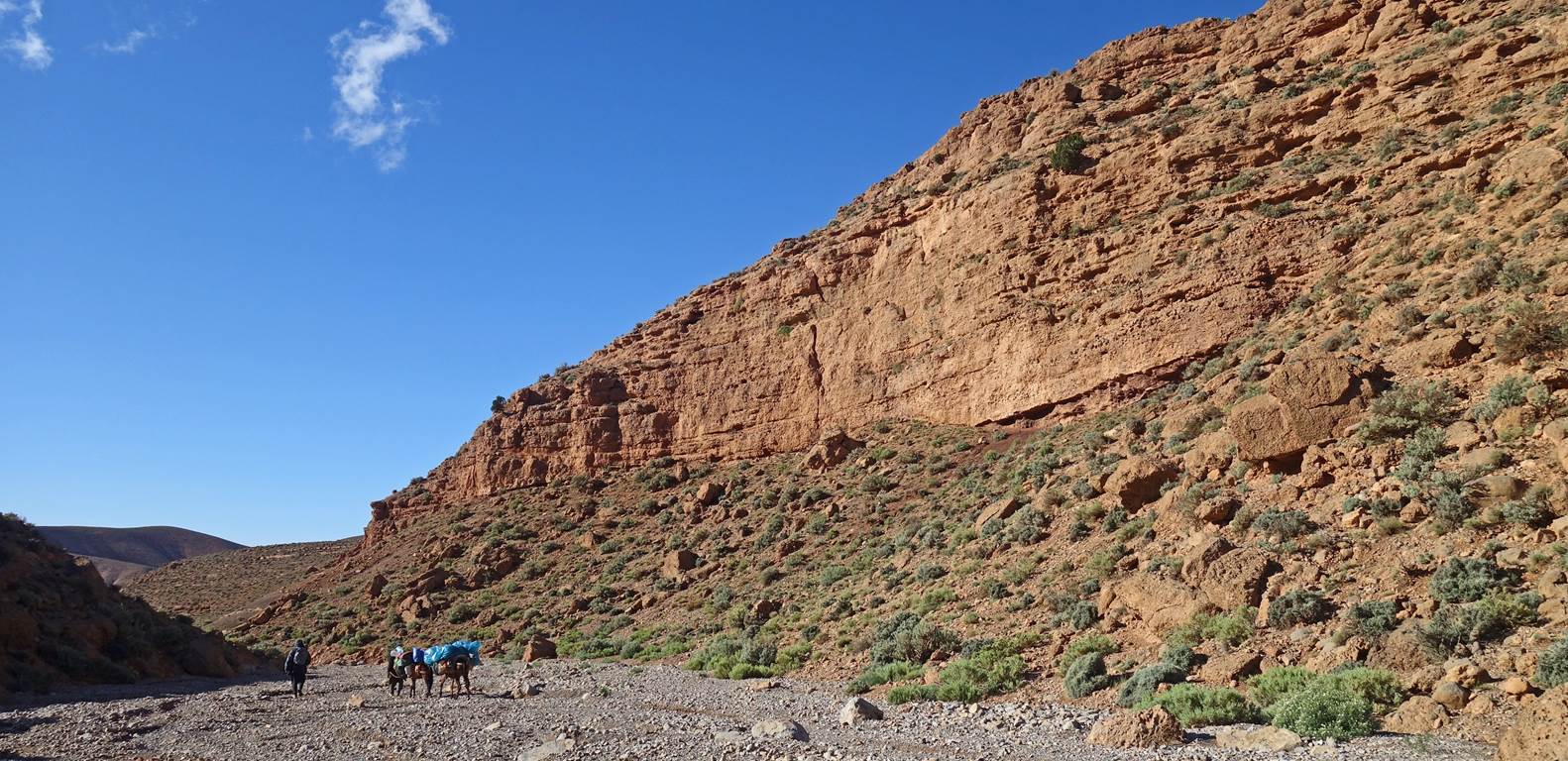
After passing this small group of
houses, we followed a dry riverbed that turned into a narrow canyon.
|
|
|
|
|
|
|
|
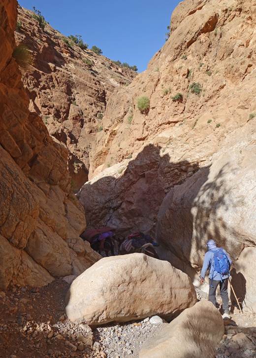
At the end of the canyon, the riverbed
widened and sooned opened into the upper valley of the Assif Znag. From there
we followed a road to the village of Aguerzaka.
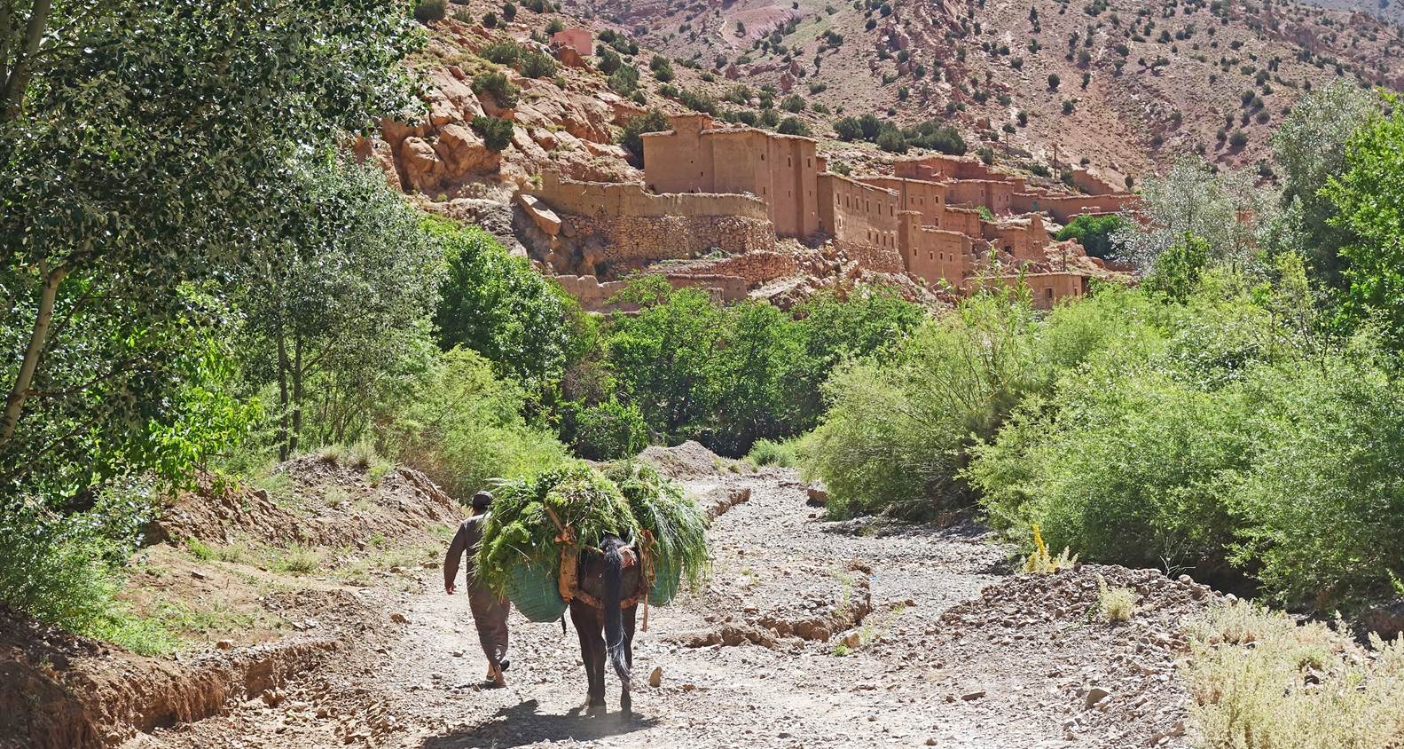
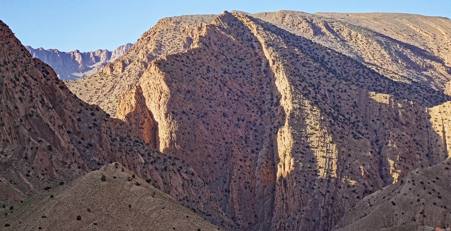
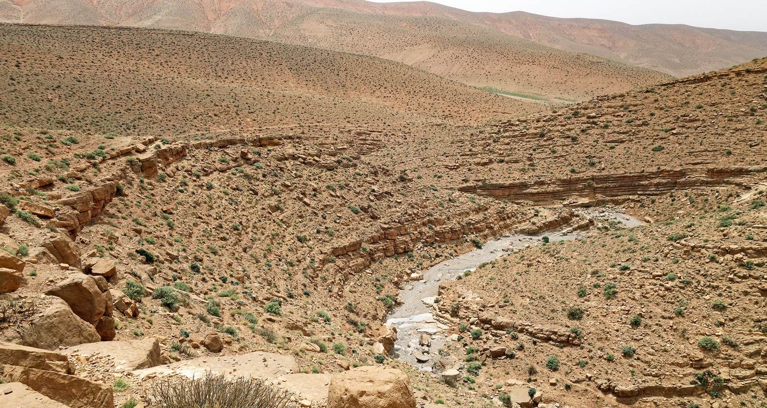
Southern
end of the spectacular Mgoun canyon next to the village of Aguerzaka. We established our eighth camp at waypoint
106 near this outlet, on the eastern side of the Mgoun river, opposite Aguerzaka.
Days 9-10:
The end of the Mgoun canyon seen from
our eighth camp.
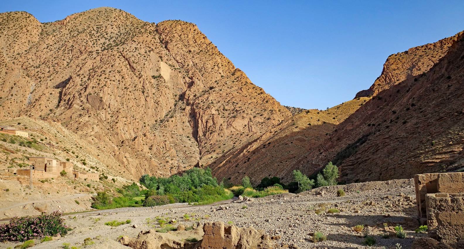
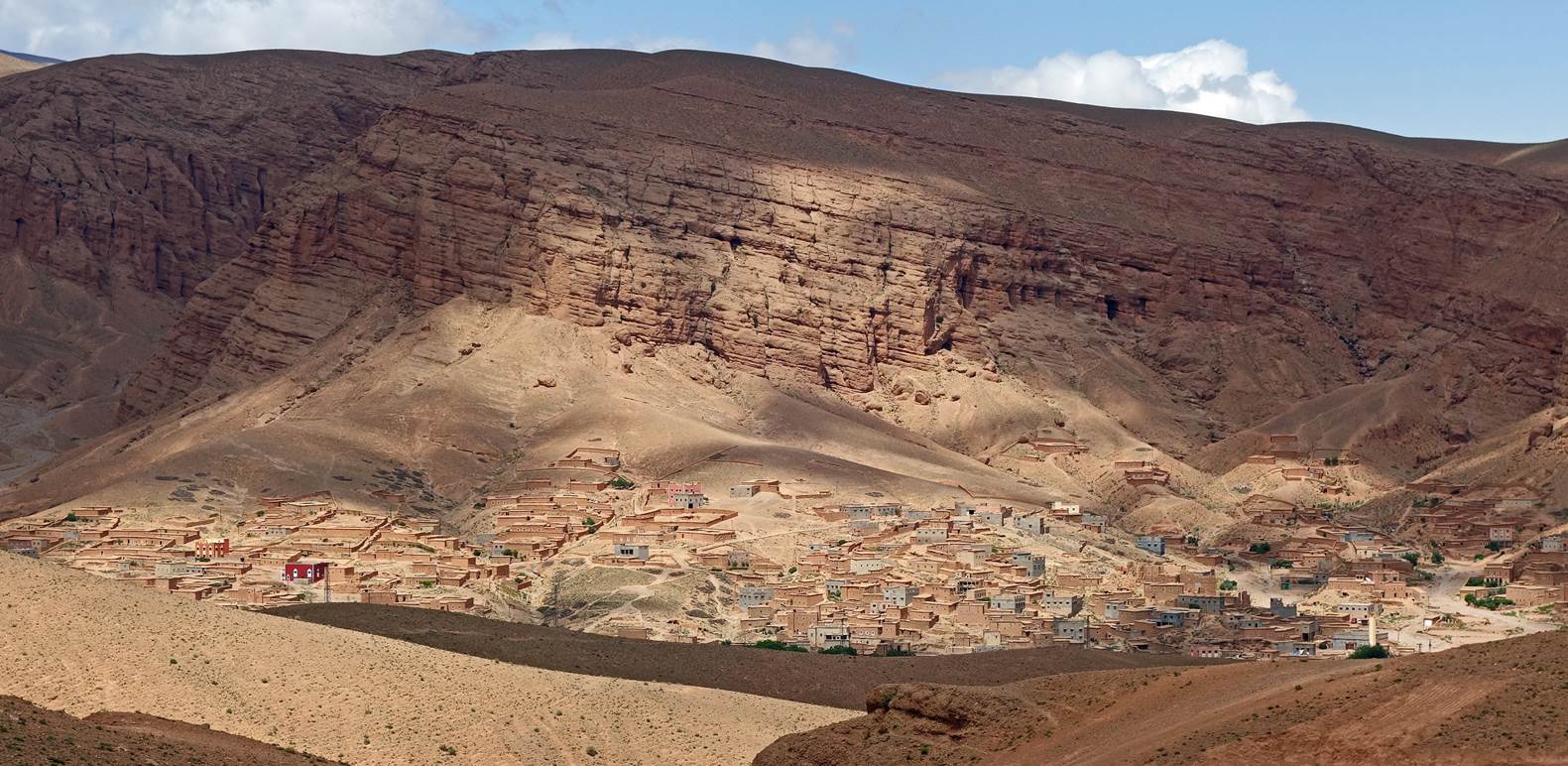
The village
of Aguerzaka, on the opposite side of the river, seen from our camp.
Aguerzaka seen from a higher location
soon after we started hiking.
Successive views during the day.
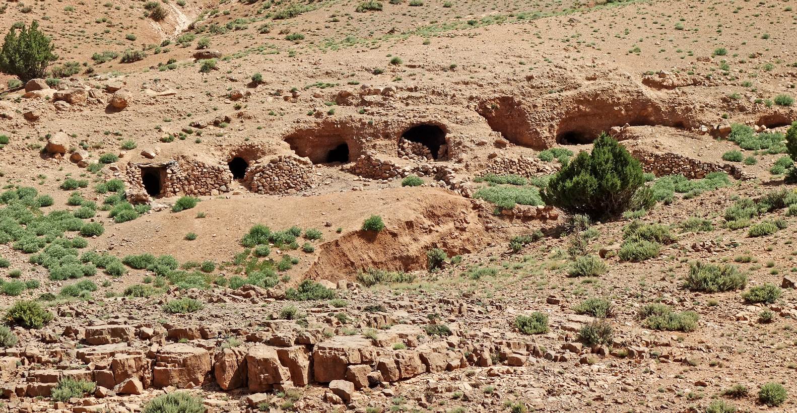
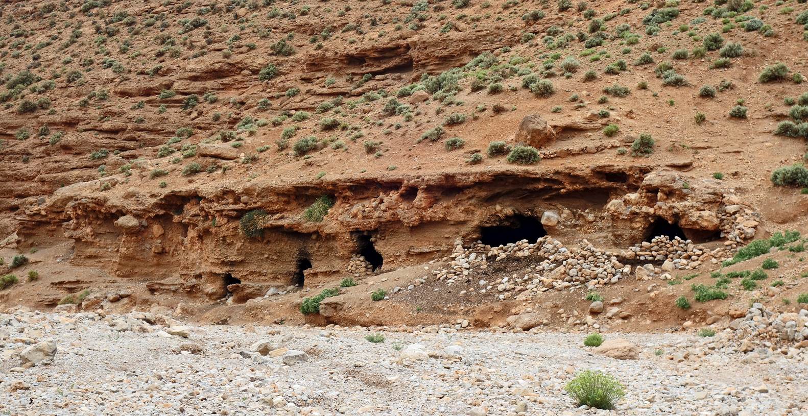
Ancient
caves used by the Ait Ata nomads of southern Morocco when they migrate with
their herds to the high Atlas pastures, usually in late May and early June, and
when they return in September.
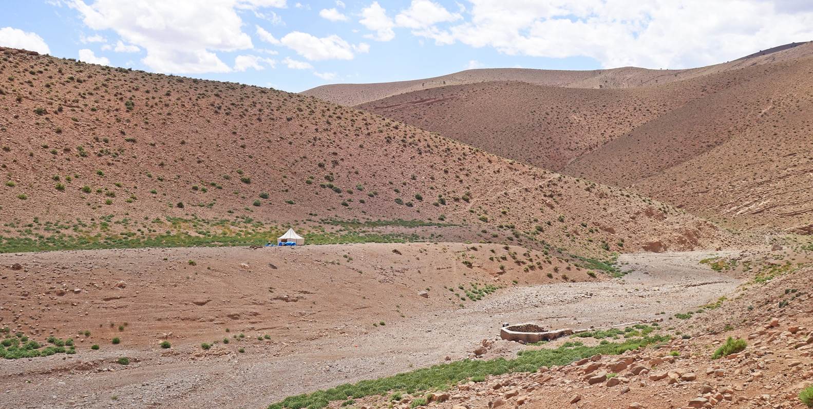
Dry riverbed soon before reaching the
location of our ninth campsite.
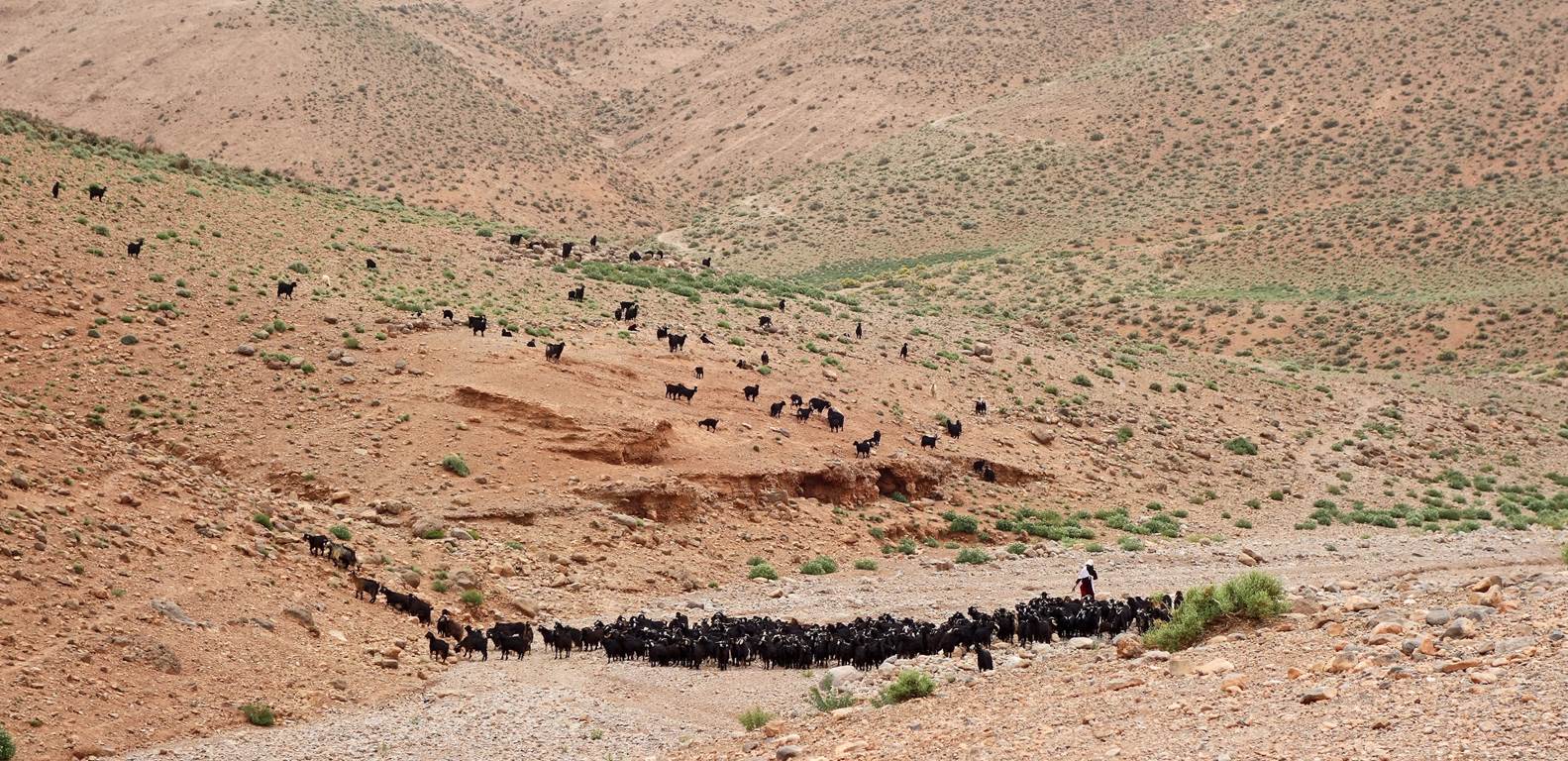
We set up our ninth camp on a platform slightly above a dry riverbed
equipped with a nomad well. The riverbed is on an important migration path for
the Ait Ata nomads (see second photo above). This well is one place where they
can get water for themselves and their herds.
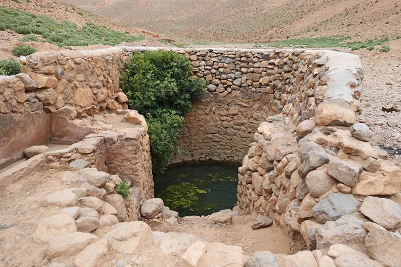
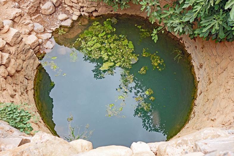
Views of the well. Its water is not
perfectly clear, but like the nomads we used it for making tea and cooking.
|
|
|
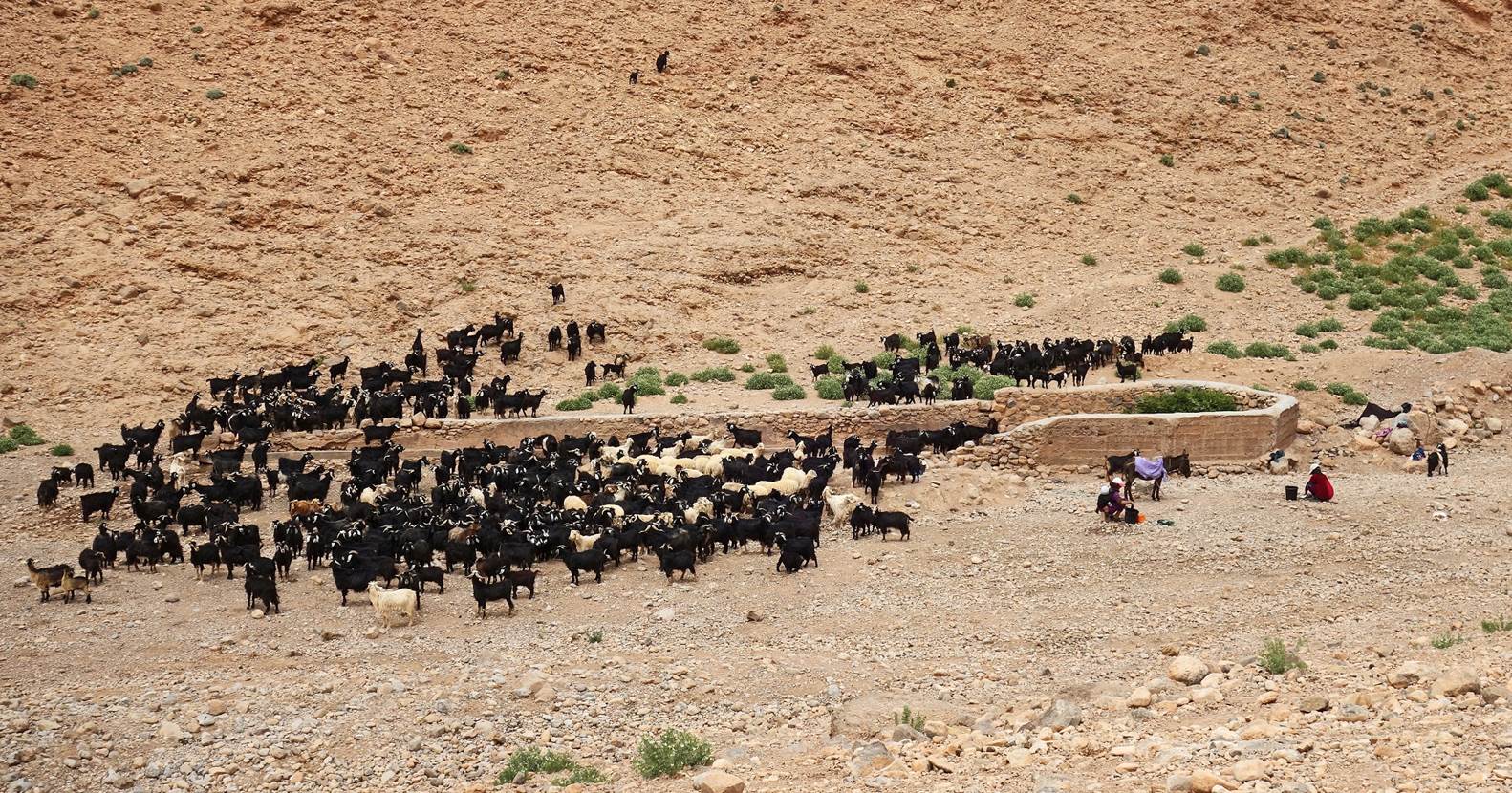
Later in the afternoon, nomads who were
staying in nearby caves brought their goats and sheep to the well.
Watering the herd requires drawing many buckets of water from the
well and pouring them into the trough where the animals drink. It is a lot of
work that lasts for hours.
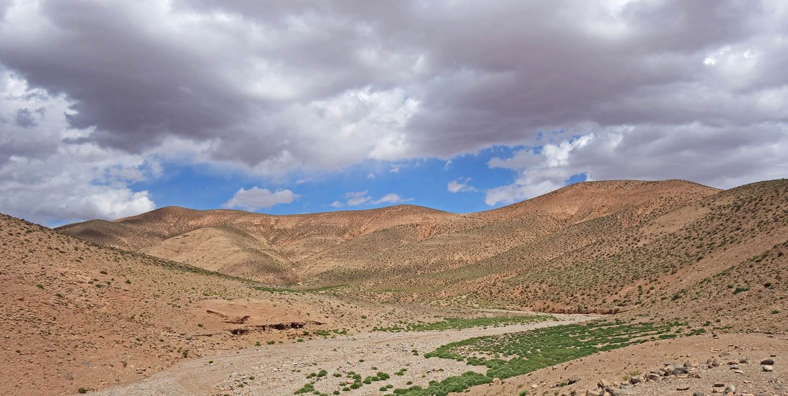
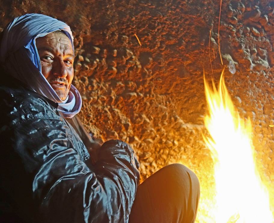
Throughout the day the weather had
changed from sunny in the early morning to mostly cloudy and much colder in the
afternoon.
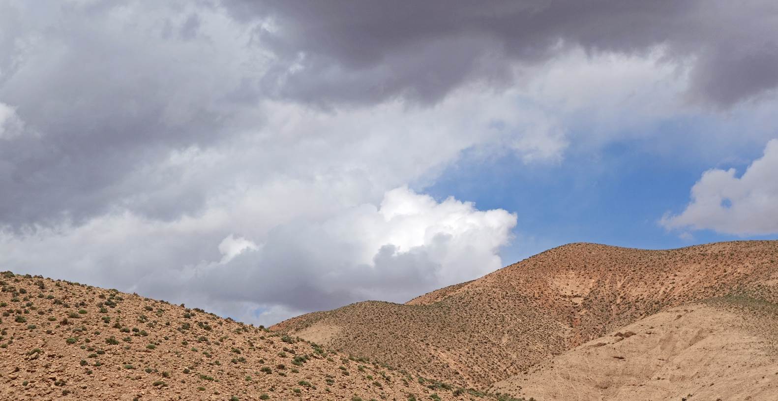
The next
morning was even cloudier and colder. The Tizi n-Toudat pass (2658m) being
significantly higher, we decided to spend the day here, hoping that the weather
would be better the next day.
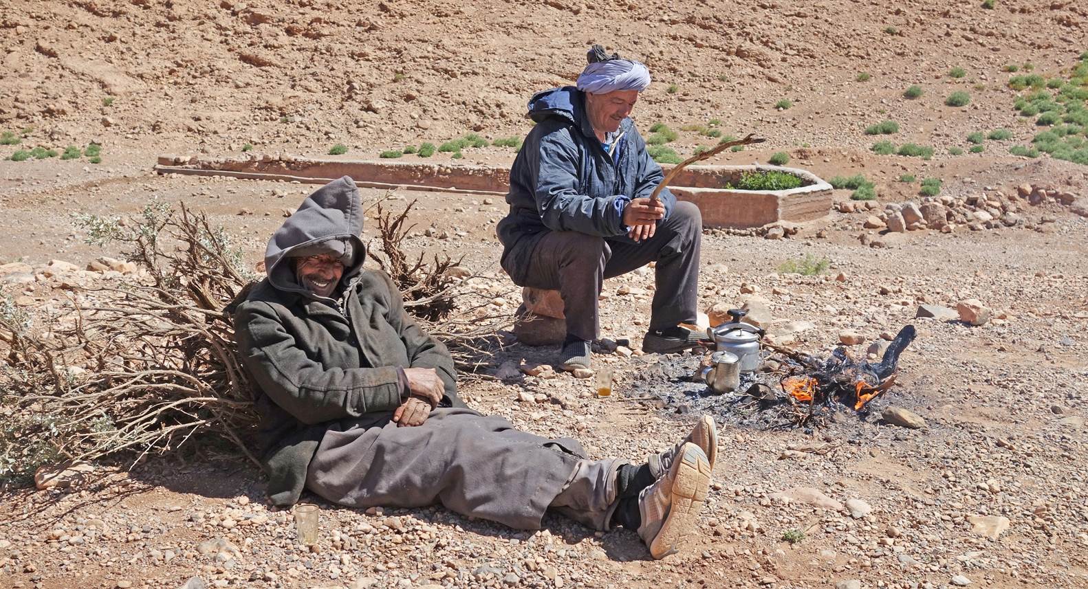
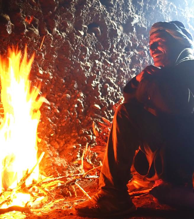
Brahim and
Zaid taking advantage of a sunny moment on the tenth day to warm themselves by
a fire.
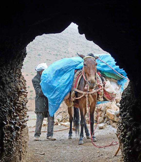
Day 11:
Unfortunately, on the morning of the 11th
day of the traverse, the weather was much worse. We nevertheless decided to
move up, hoping that it might clear up later.
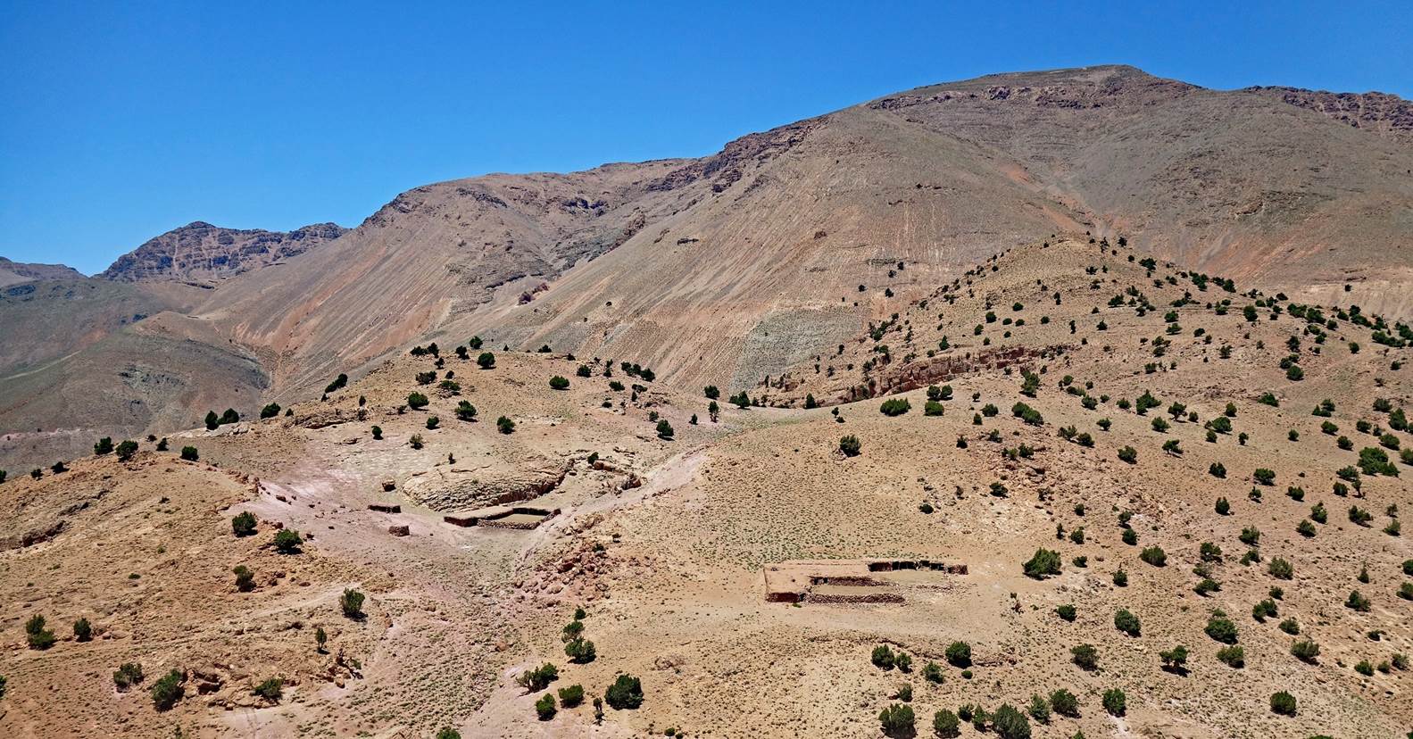
Nomad caves along the way. Most of them
were dug many decades ago.
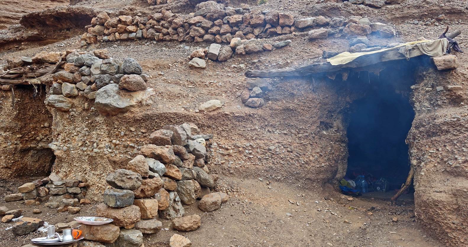
Around
mid-day it started to rain. Then the rain turned to snow and cold wind picked
up. We decided to take refuge in an empty nomad cave that we warmed up with a
fire.
|
|
|
|
|
|
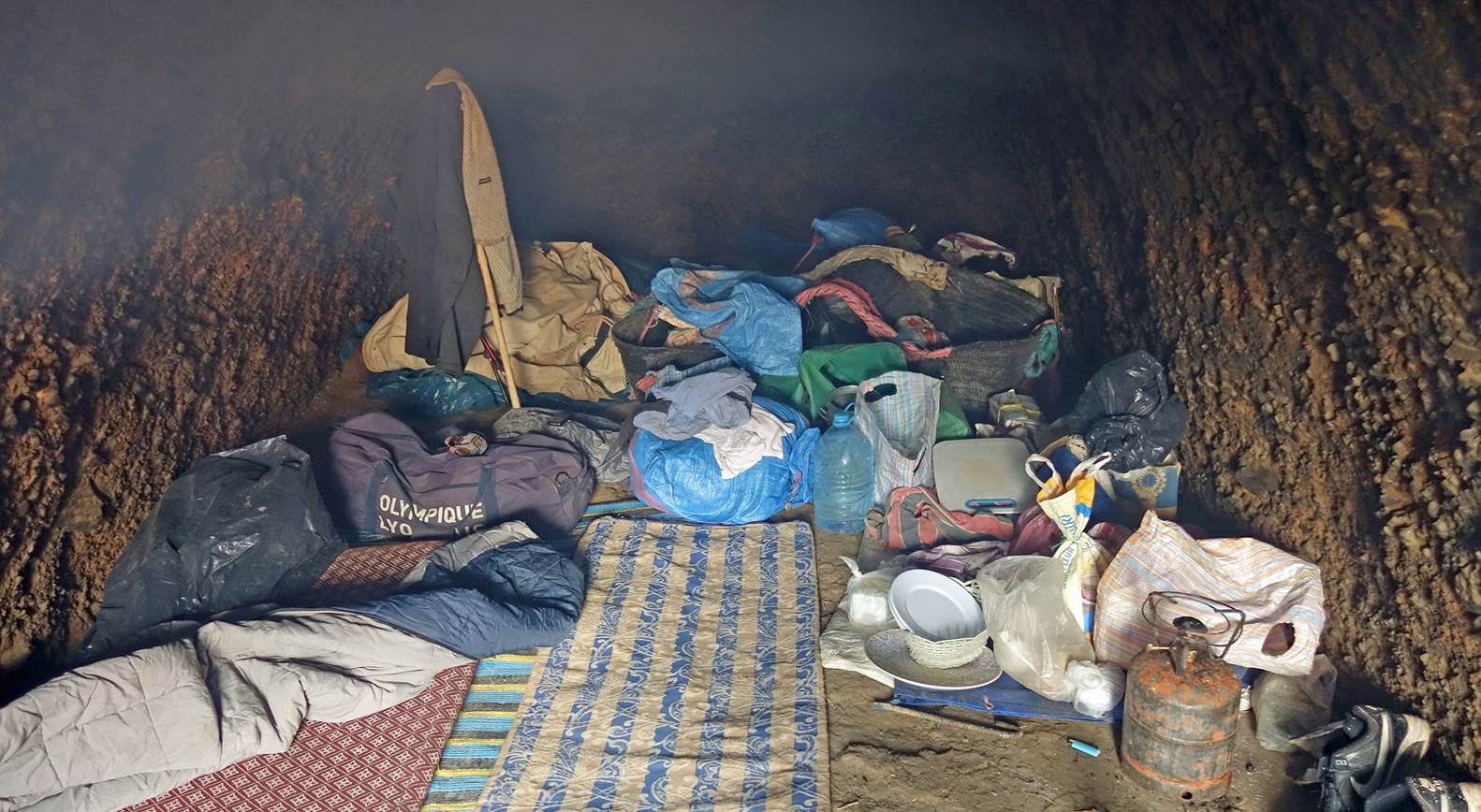
Entrance and interior of the cave. Not
luxurious, but good enough.
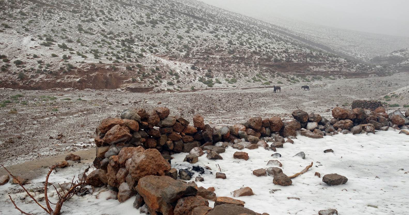
Meanwhile, outside the cave...
Day 12:
The weather
seemed much better in the morning, but the temperatures were still below 0C.
Tizi n-Toudat was about 500m higher, so colder and windier than at the cave. We
managed to contact Oumar who got the weather forecast and told us that this
better weather was not going to last. Lacking proper clothing to withstand the
freezing temperatures, we opted to head south to lower elevations. Our goal was
to reach the comfort of Oumar's lodge in Alemdoun in one long day's hike.
Views from
the cave.
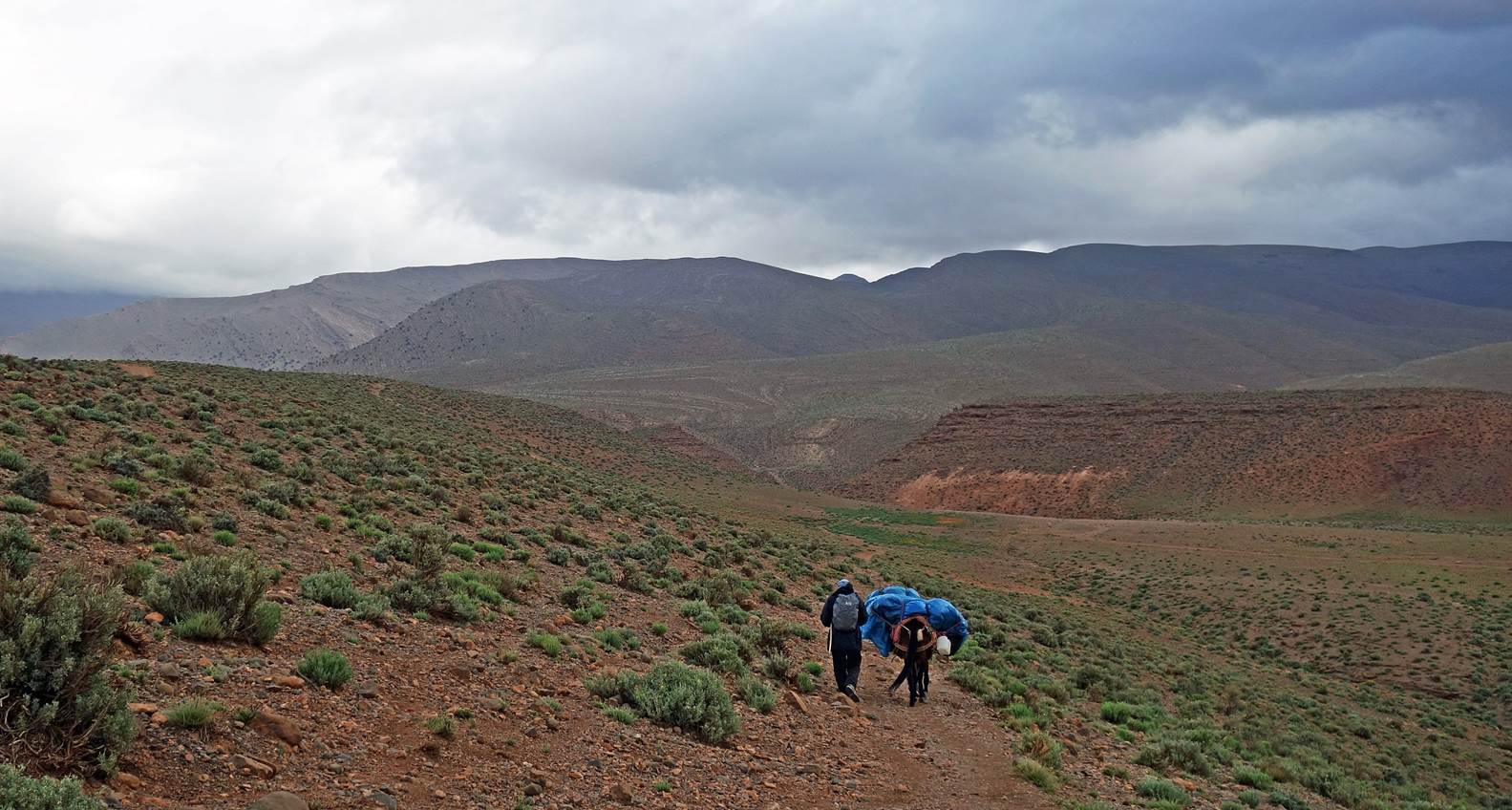
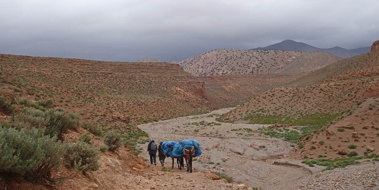
Zaid loading the mules.
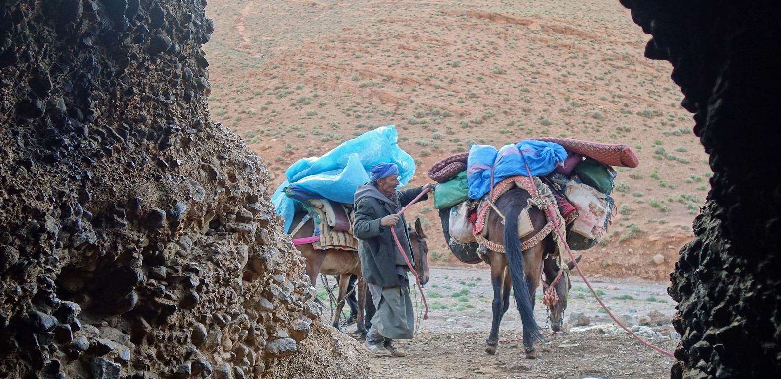
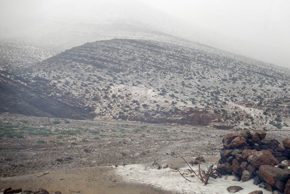
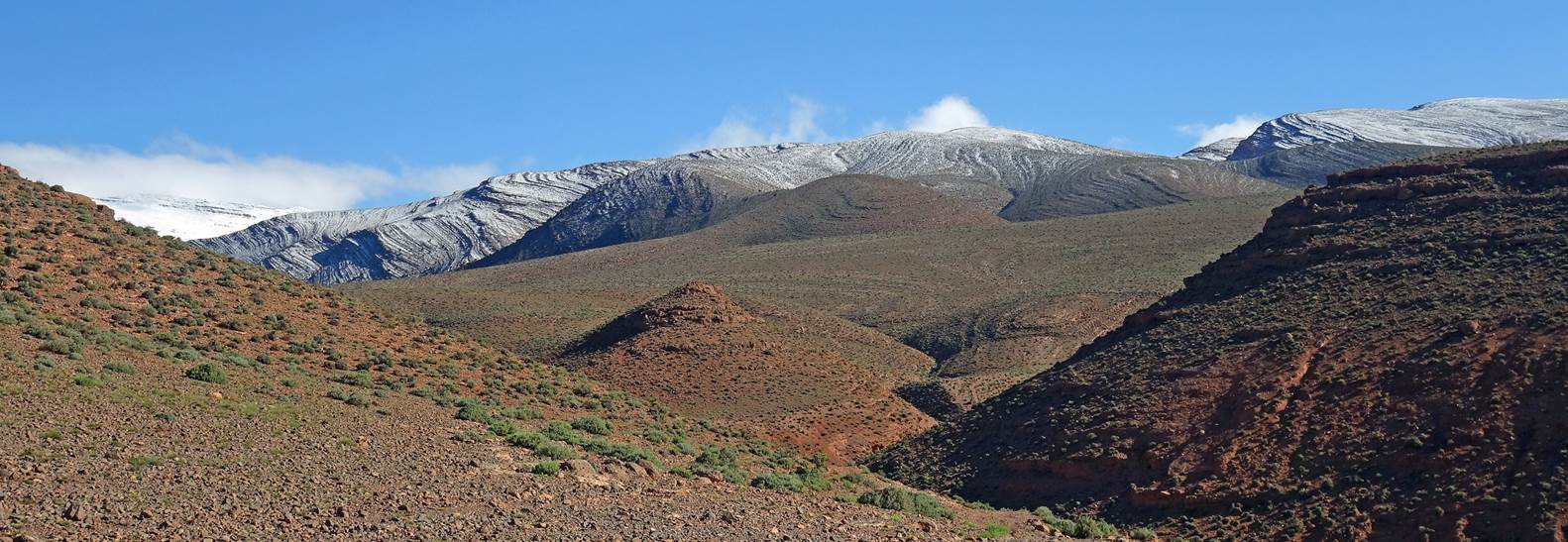
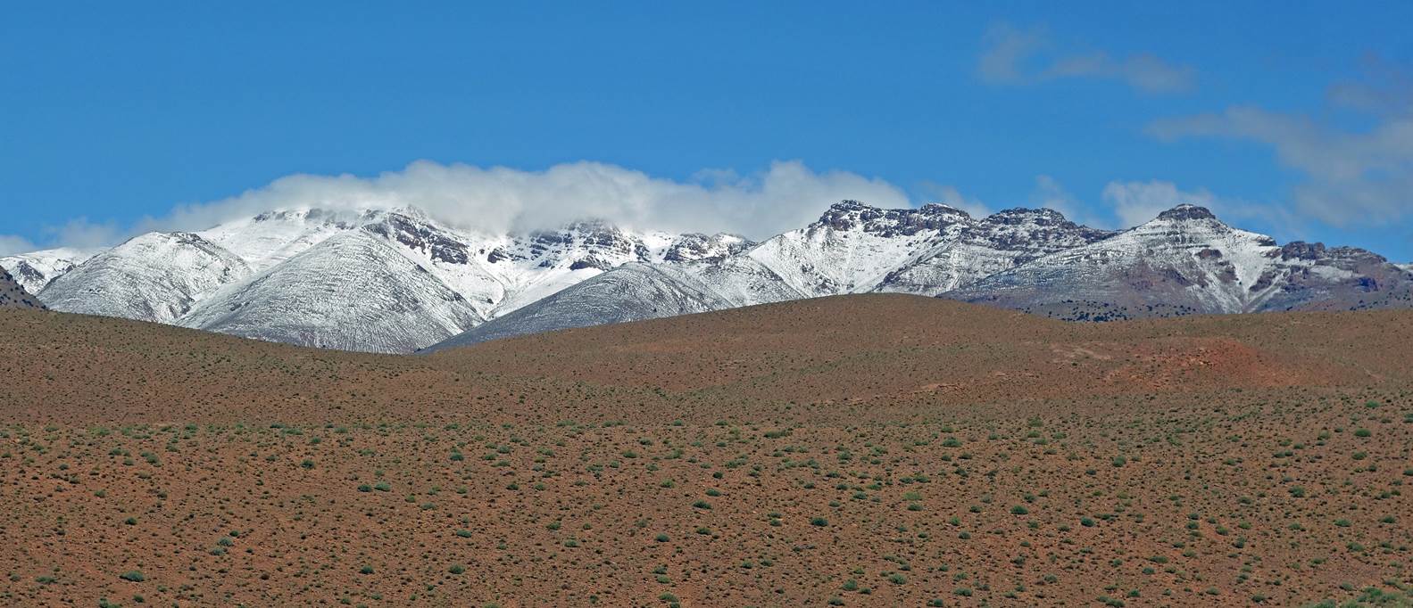
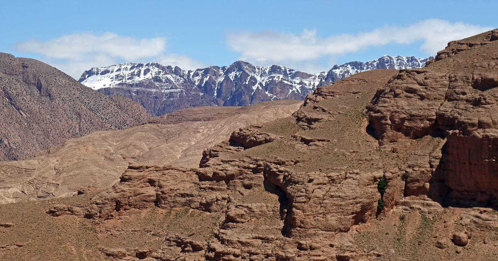
We first
returned to our previous camp next to the nomad well. Then we crossed desertic
hills to reach the Mgoun river at the village of Igherm Aqdim. The following
photos show successive views during that section. The beautiful snow-capped
summits of the Atlas were almost a new sight to me. Indeed, the only previous
time I had seen a snowfall in the Atlas was in March 1977 (46 years earlier!)
during a multi-day hike south of Beni Mellal (see here).
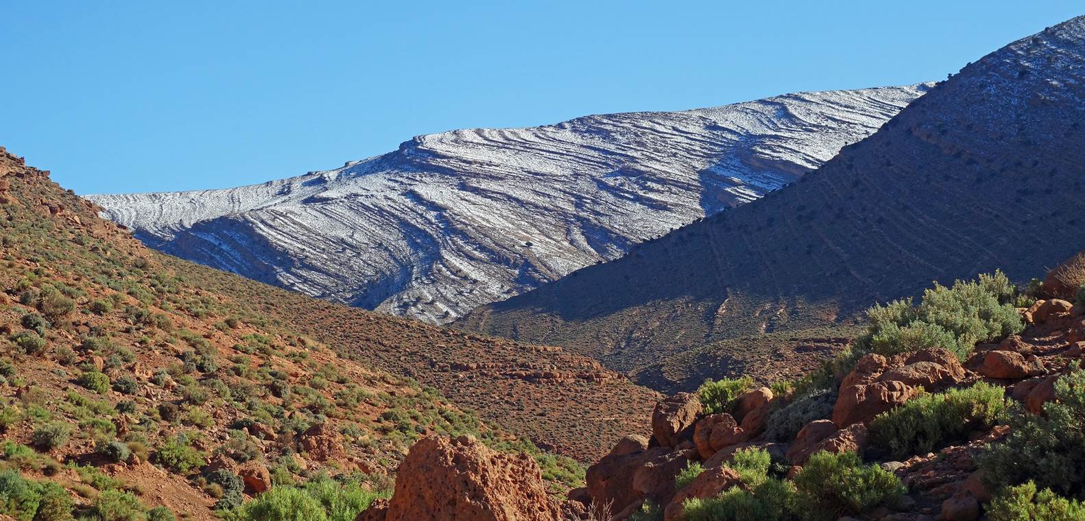
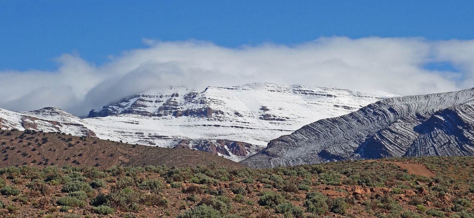
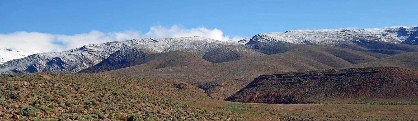
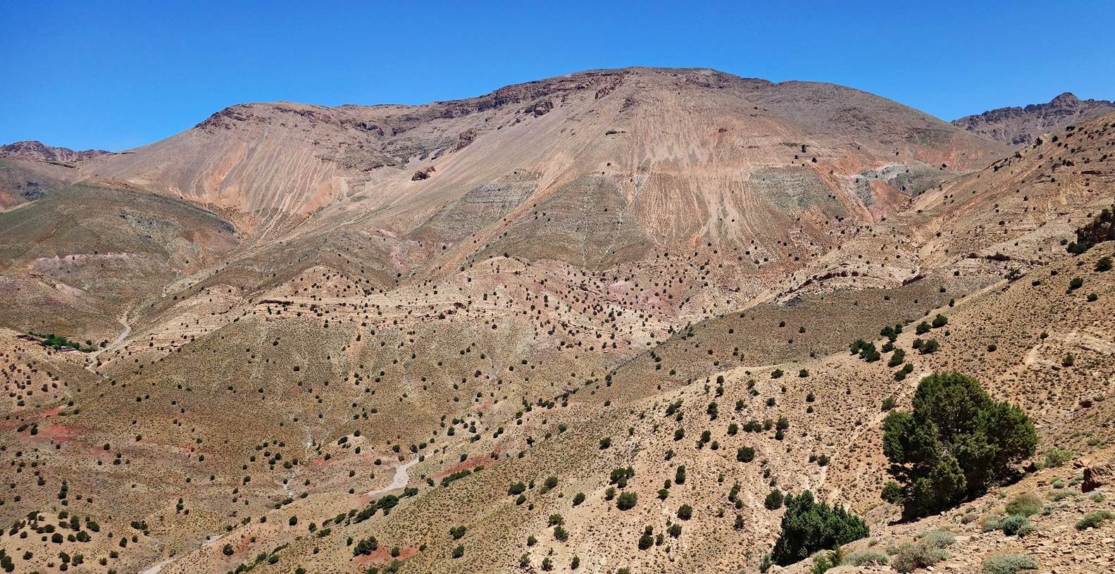
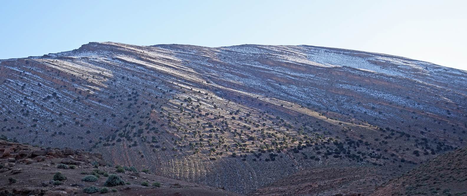
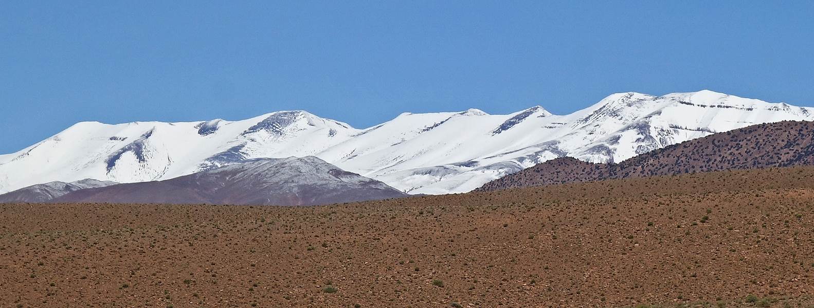
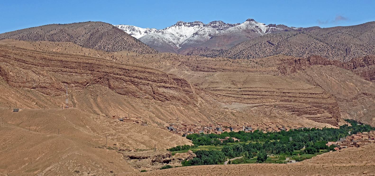
The snow-capped Jebel Waougoulzat and
Mgoun range (second photo below) seen from behind desertic hills.
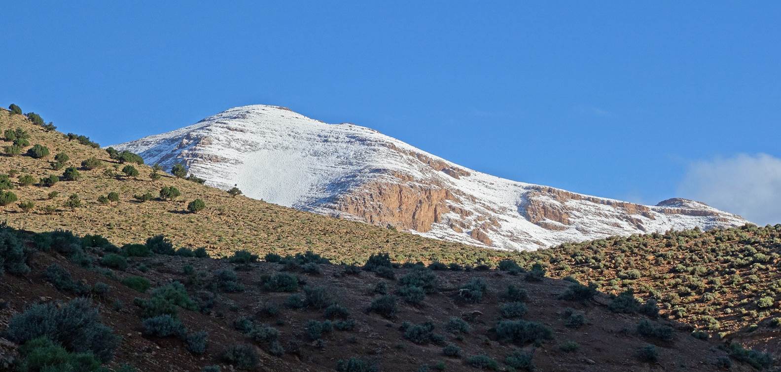
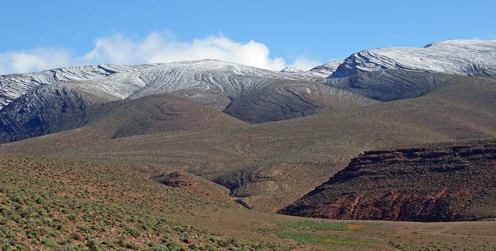
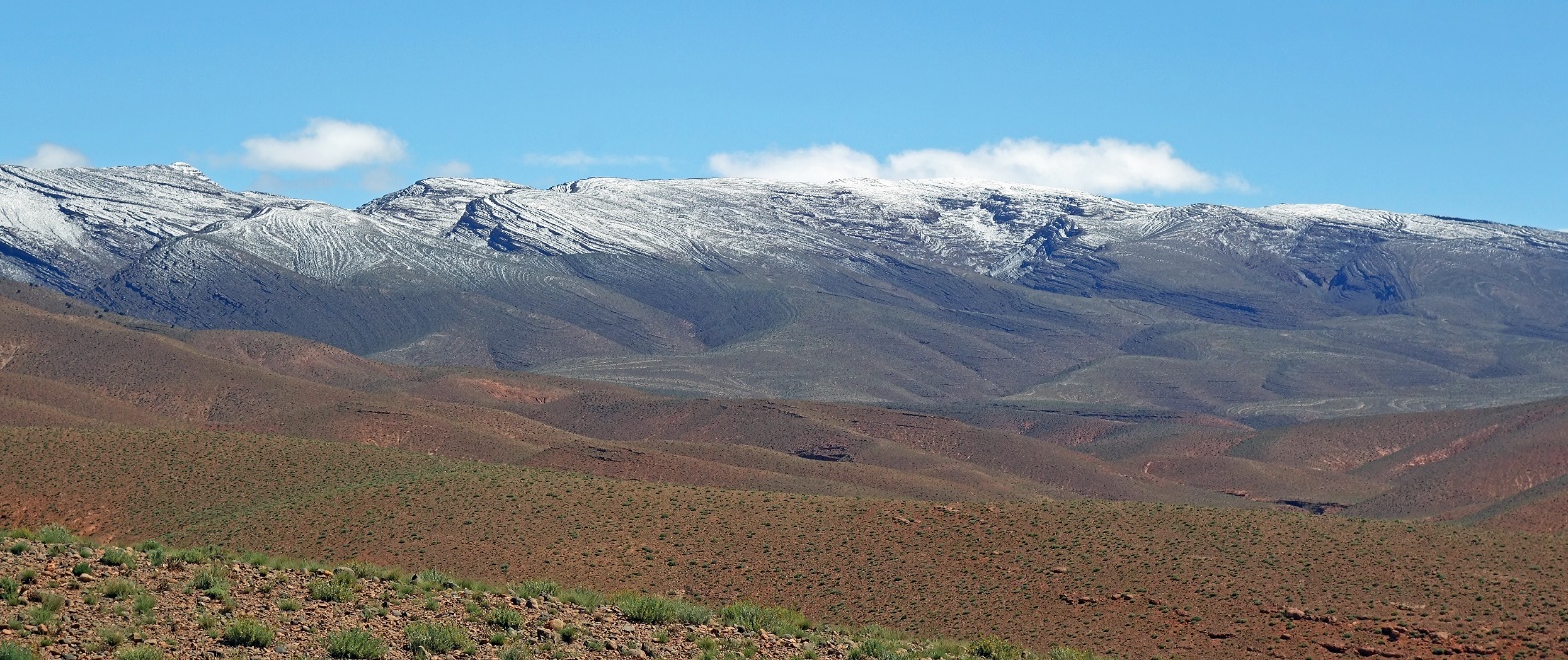
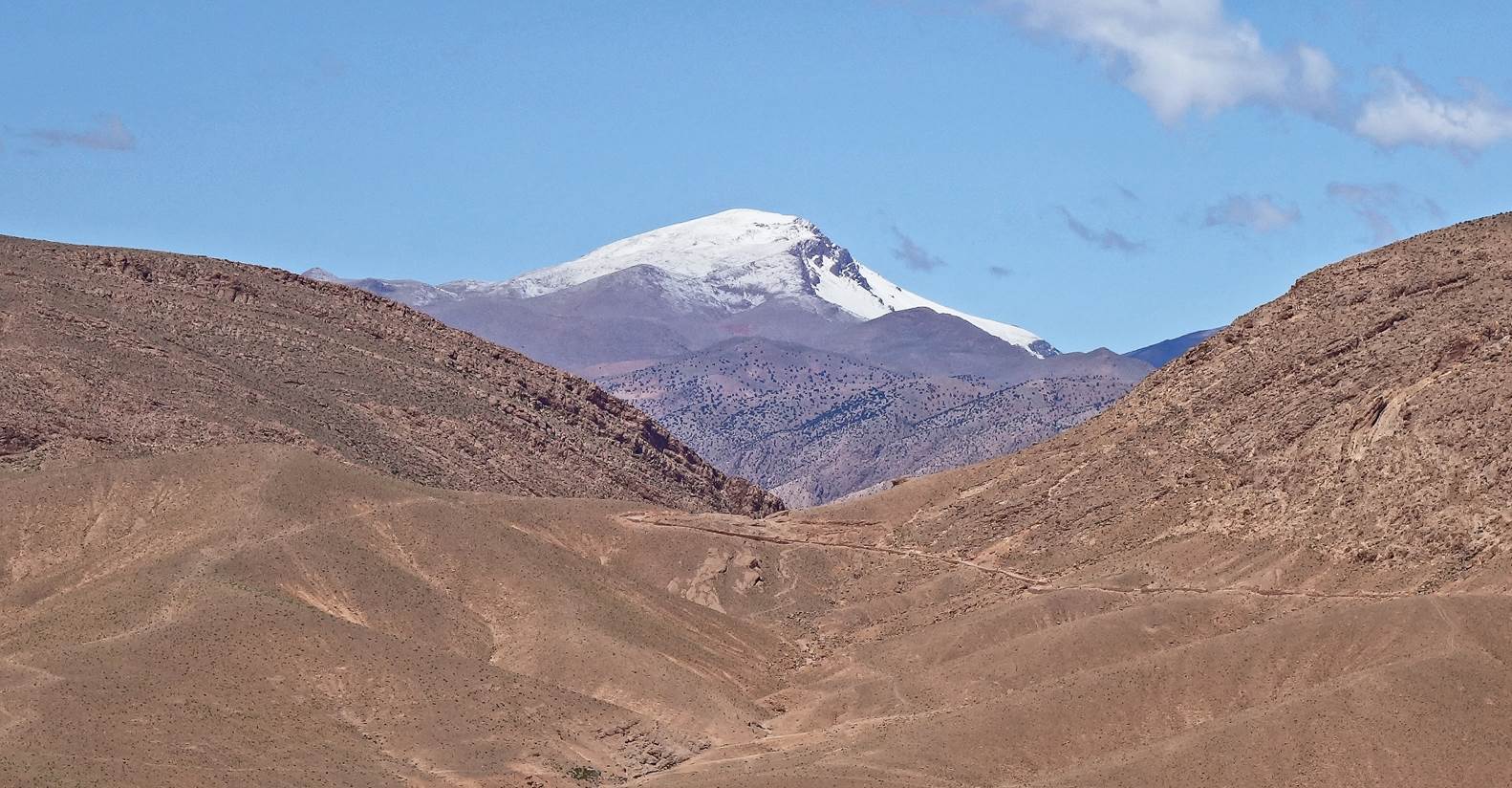
Jebel Akrim seen from a small pass
(waypoint 127) before descending to Igherm Aqdim.
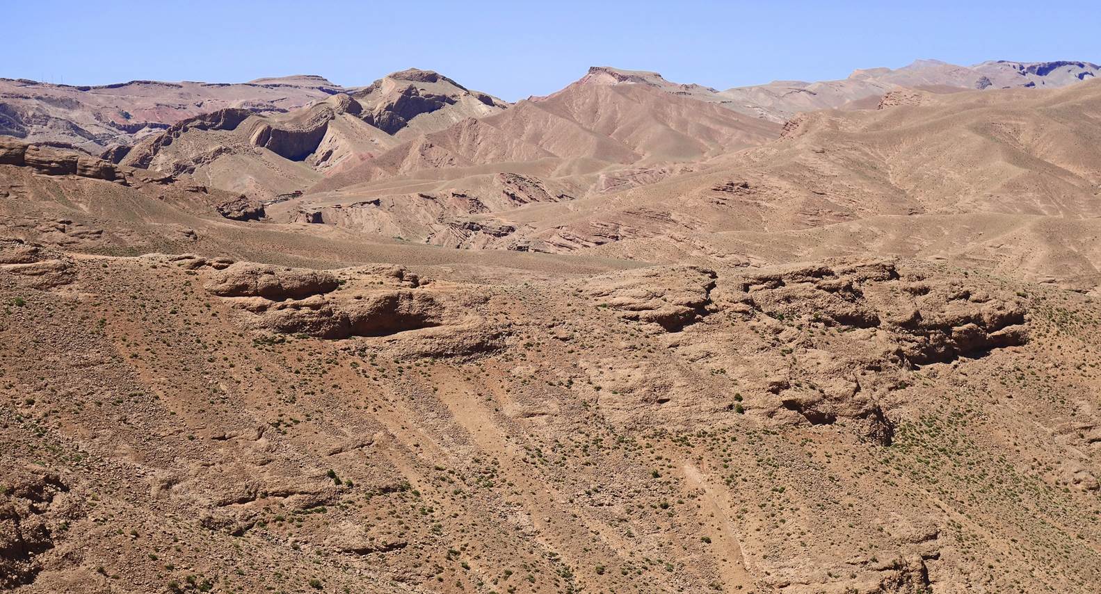
Rock formations seen during the descent
to Igherm Aqdim.
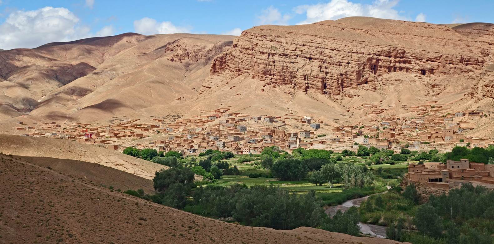
Views of beautiful Igherm Aqdim.
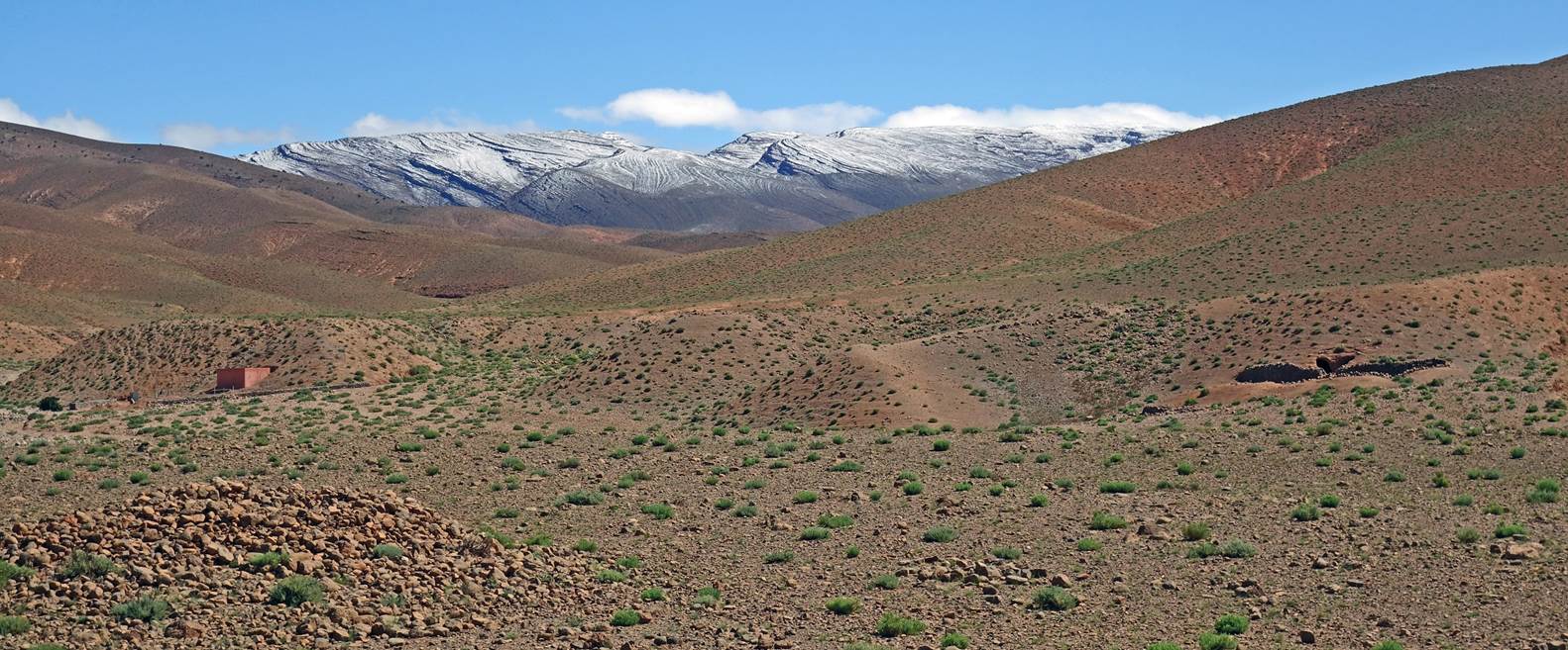
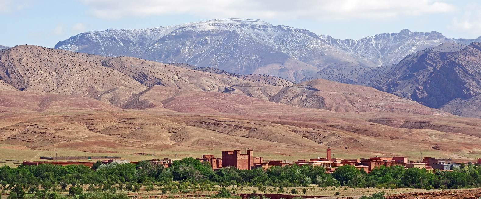
From Igherm
Aqdim we mostly followed a road to reach Oumar's lodge. Below is a photo of the
plain and the mountains north of the lodge, with the village of Ait Khlifa in
the foreground. It was the end of our 12-day hike.
![]()
Return
to main Morocco-2023 page| Return to my mountaineering/trekking/travel
webpage