Muztagh Ata (July-August
2000)
|
|
Return to my mountaineering/trekking/travel webpage
|
I
traveled to Pakistan and Xinjiang (western China) in July-August 2000. The
main goal of this trip was to climb Muztagh Ata (7546m), a relatively
isolated mountain located in southern Xinjiang north of the Karakoram
(Pakistan) and east of the Pamir (Tajikistan). It is the second highest peak
on the northern edge of the Tibetan plateau, behind the much more difficult Kongur Tagh (7,649m). The trip
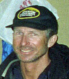
was organized by Adventure
Consultants and led by Mike Roberts
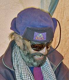
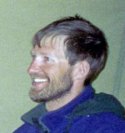
(from New Zealand). The other two members of the team were Ghulam Hassan
(Pakistan) and Andrew Stone (Australia). All of us summitted
on August 9th, on the morning of the 13th day spent on the
mountain.
|
|
|
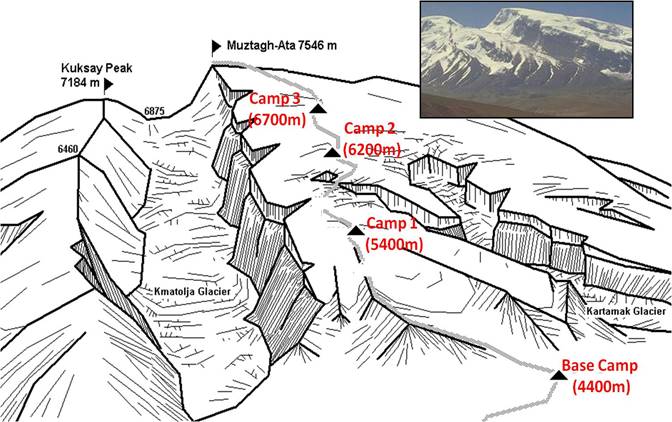
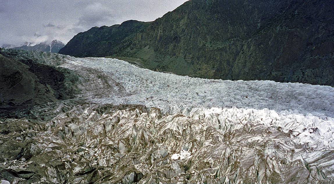
The ′classic′ ascent route of Muztagh
Ata is technically easy. The main difficulties are high elevation and bad weather.
The crevasses are also a significant hazard, as the shape of the mountain
causes them to be longitudinal (parallel to the ascent route) and difficult
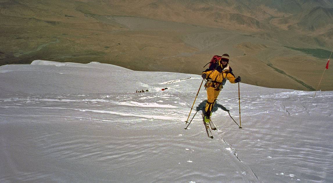
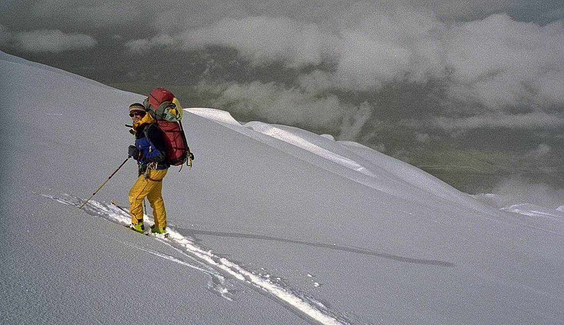
to spot, rather than transverse and faster to cross. Mike and I had brought
our randonnee skis and we skied up and down the
mountain (above Camp 1). Skiing up the mountain was relatively comfortable
and much more energy-efficient than using snowshoes. Ski flotation also
provided greater security over crevasses. Skiing down had some fine sections,
especially near the very top and above Camp 1. But we also had some bad
stretches, especially on the steepest section between Camps 2 and 1, where we
had crusty snow and low visibility among many crevasses. We had to be very
careful not to fall over snow bridges. Overall, Muztagh Ata is clearly far
more enjoyable on skis than on snowshoes. |
|
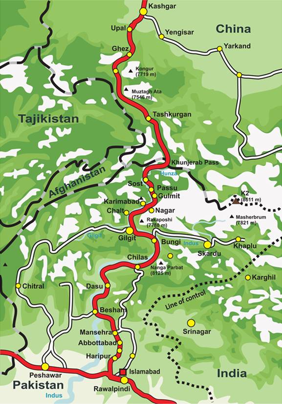
To reach the base
of Muztagh Ata, we drove from Rawalpindi/Islamabad in Pakistan along the so-called
Karakoram Highway. The road is often in terrible shape, but the landscapes
are stunning, especially in the Hunza region, with
views of Nanga Parbat (8125m) and many other summits above 7000m, including Rakaposi, Diram, Ultar I and II. In Hunza, we
did several short hikes to acclimatize before reaching Muztagh Ata (Base Camp
of Ultar I and II above Karimabad,
and glacier above Gulmit). After the ascent of
Muztagh Ata we drove further north to the old city of Kashgar
before returning to Rawalpindi. These are the elevations at which we slept before
reaching the summit of Muztagh Ata. (But during most days we hiked up to
greater elevations before retreating back to our successive camps).
- 1 night at 3200m (Ultar
BC) - 1 night at 2700m (Gulmit) - 1 night at 3600m (trek above Gulmit) - 2 nights at 4050m (trek above Gulmit) - 1 night at 3100m (Sost) - 1 night at 3200m (Tashkurgan) - 3 nights at 4400m (Muztagh Ata BC) - 5 nights at 5400m (Camp 1) - 3 nights at 6200m (Camp 2) - 1 night at 6700m (Camp 3) In Pakistan I especially liked the Hunza region around Karimabad.
The Hunza people are very friendly and hospitable,
and their apricots are delicious. In southern Xinjiang local people (Uyghurs,
Kyrgyz, and Tajiks) are also very hospitable. However, larger towns like Tashkurgan and Kashgar felt
much like occupied territories. In the streets of Tashkurgan
loudspeakers broadcasted strident Chinese propaganda, uninterrupted from dawn
to dusk. In Kashgar, the demolition of the
beautiful old Uyghur city had already started and the modern Chinese city was
quickly taking over. I heard several Uyghurs expressing hostility and deep
sadness for Chinese presence. |
|
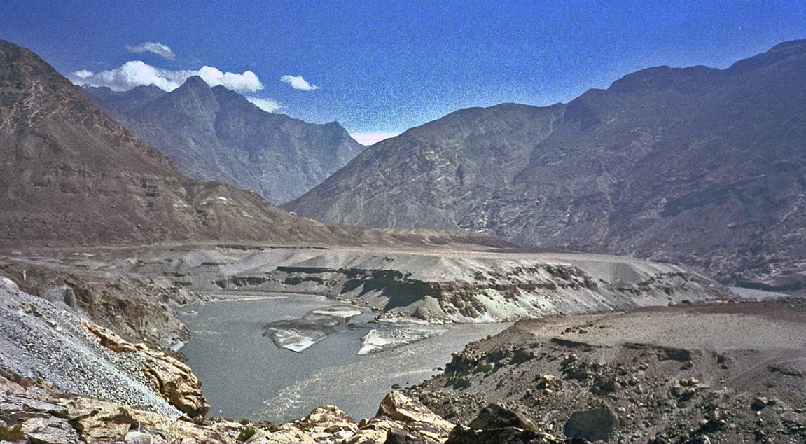
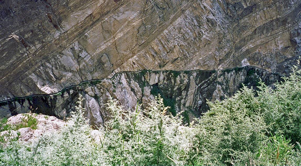
Along the Indus river on
the lower section of the Karakoram High way (between Besham
and Chilas).
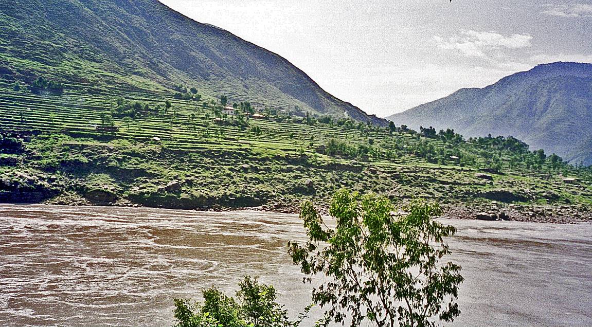
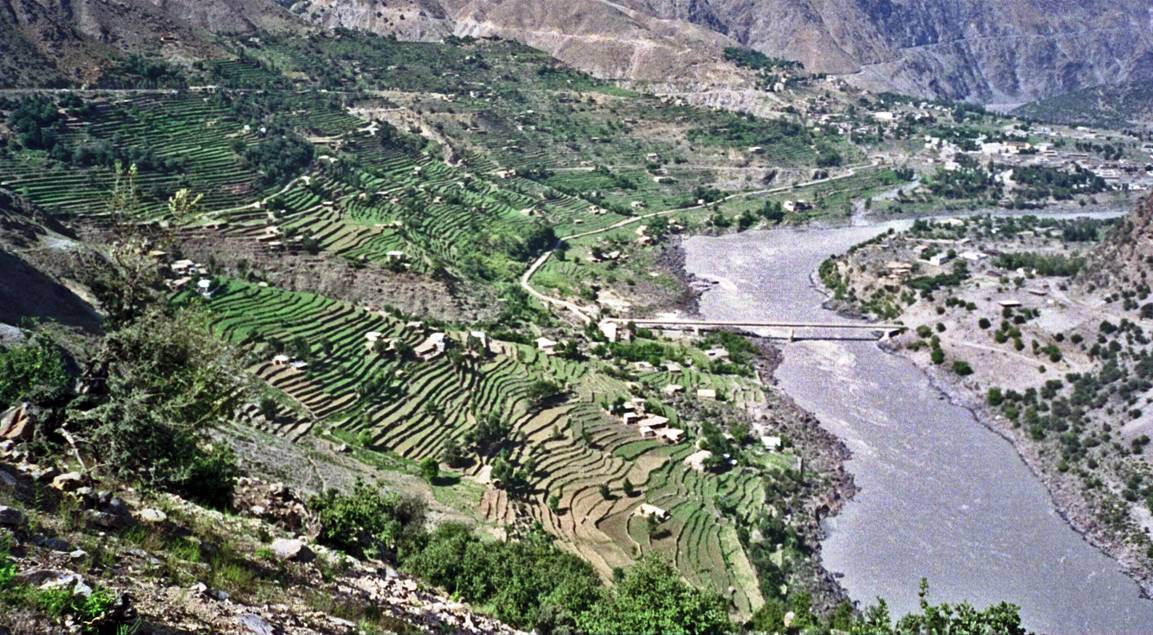
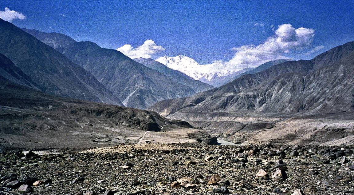
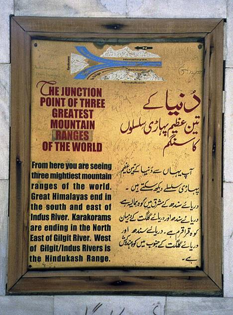
View of Nanga Parbat
(8125m) from the junction point of the
Himalayas, the Karakoram, and the Hindukush.
|
|
|
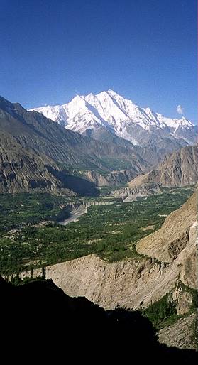
A closer view of Nanga Parbat.
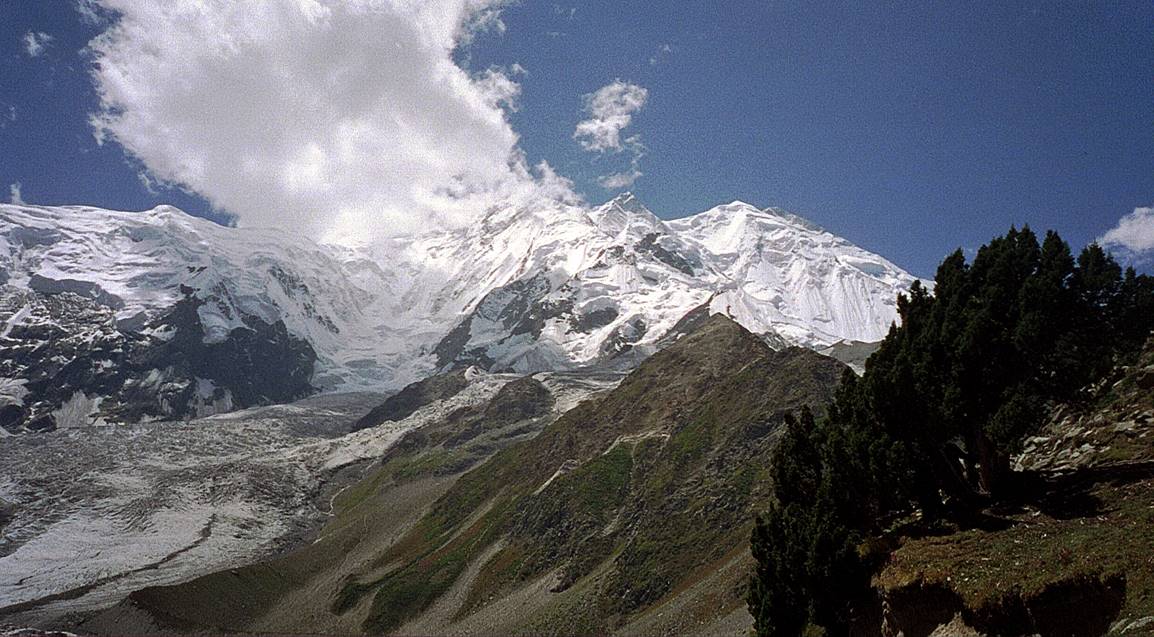
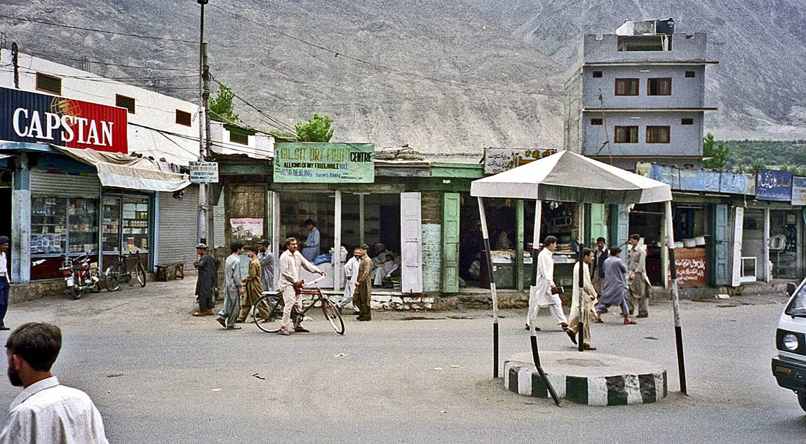
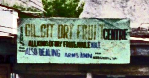
Landscape south of Gilgit.
In Gilgit. (Guns were ubiquitous in Northern Pakistan. Here, a
shop sells dry fruits, as well as arms and ammunitions.)
|
|
|
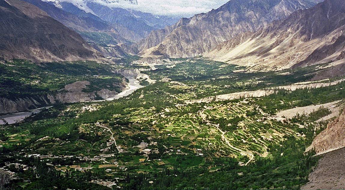
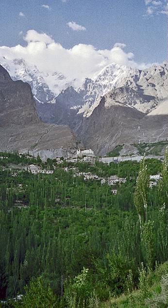
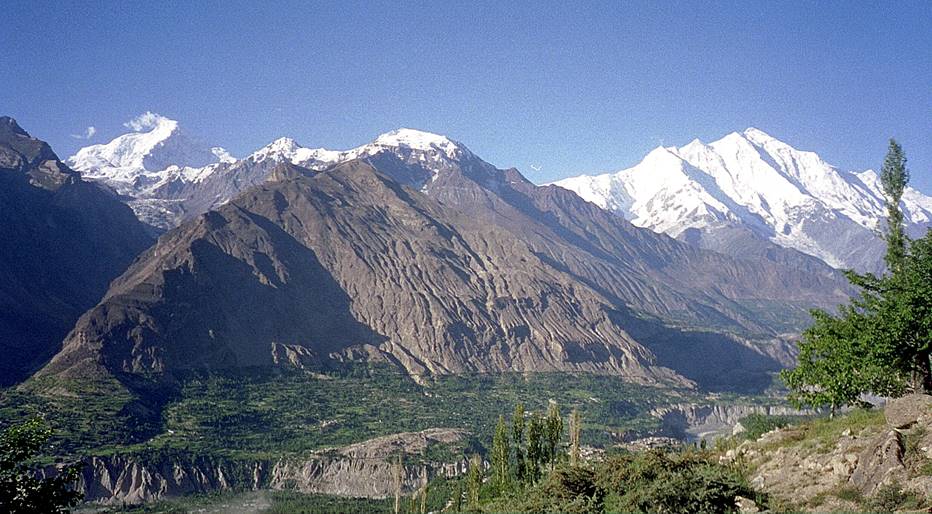
Left: View of Karimabad and the Hunza Valley.
Right: The Baltit fort overlooking Karimabad (photo on the left), with Ultar
I and II in the background. The architectural style of the fort indicates
Tibetan influence over Hunza when the fort was built.
The difference of elevation between Karimabad and the
summit of Ultar II (7388m) is approximately 5000m.
This summit was
first climbed in 1996.
|
|
|
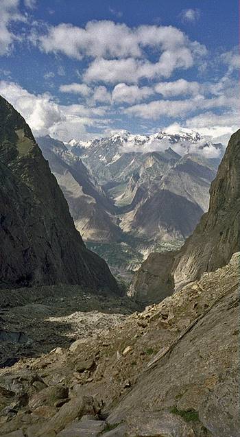
Impressive water canal above Karimabad.
Left: View during the climb to Ultar
B.C. Right: View from Ultar B.C.
|
|
|
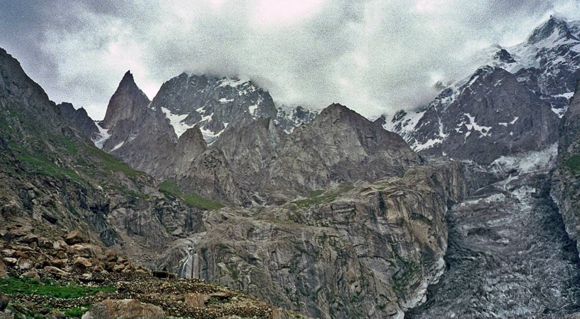
Ultar I and II seen from
their Base Camp, with Lady Finger (sharp needle in the center-left of the
photo).
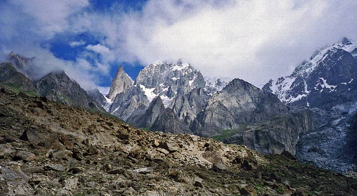
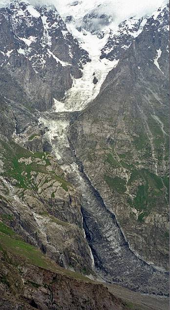
The "sheep
pen" glacier descending from Ultar II.
|
|
|
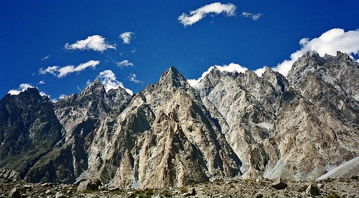
Other mountains
around Karimabad.
|
|
|
|
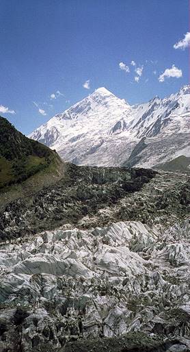
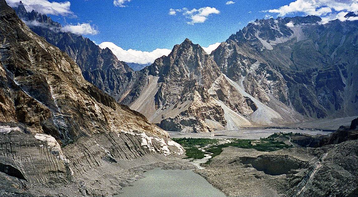
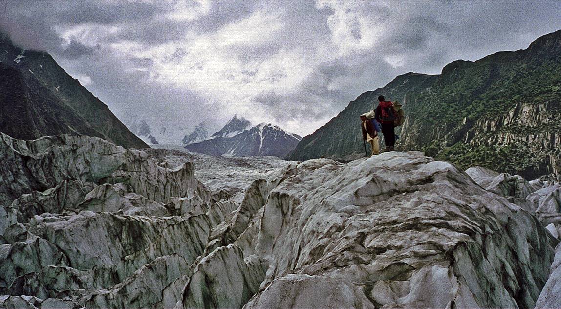
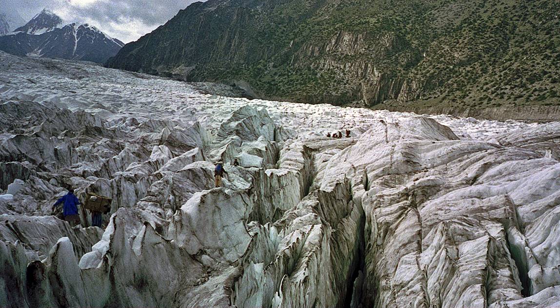
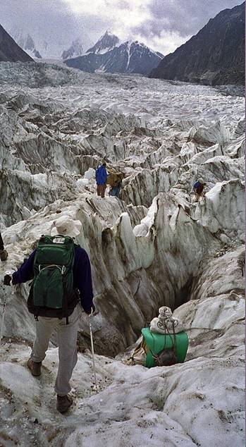
Landscapes near Gulmit.
Acclimatization trek
over a glacier above Gulmit.
|
|
|
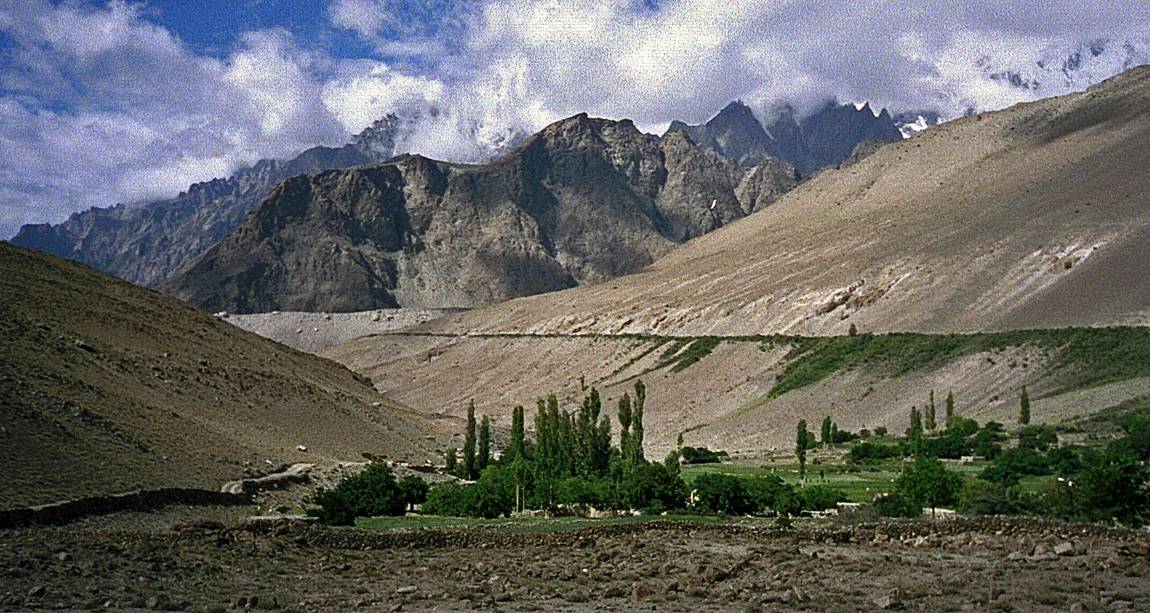
Between Gulmit and Khunjerab Pass.
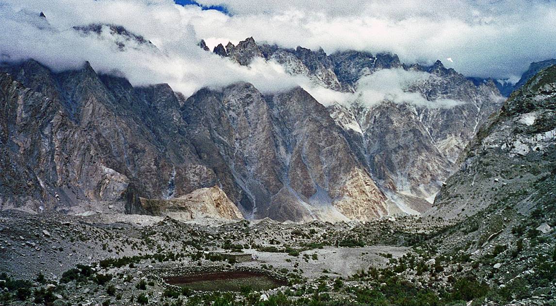
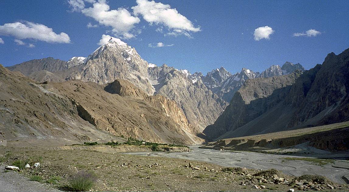
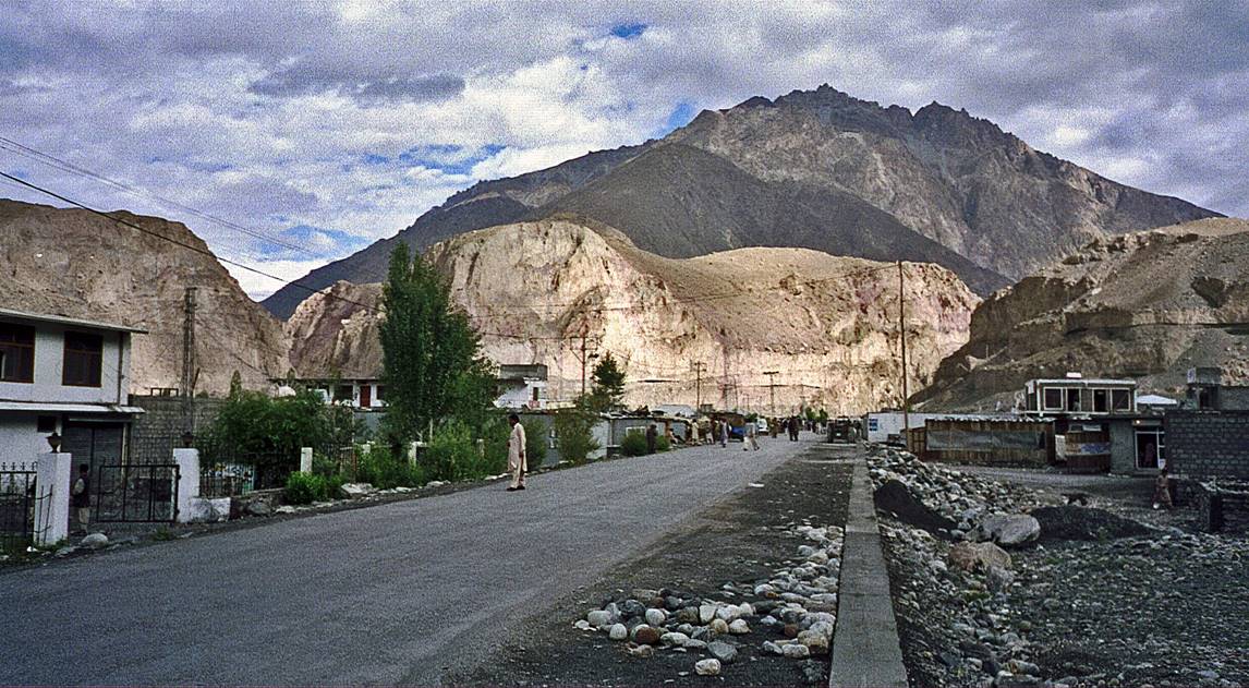
Sost, the last
Pakistani town before the Pakistan-China border.
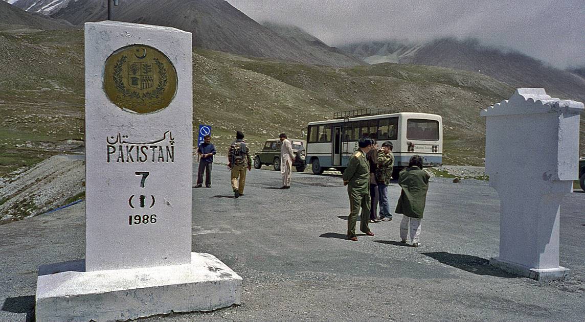
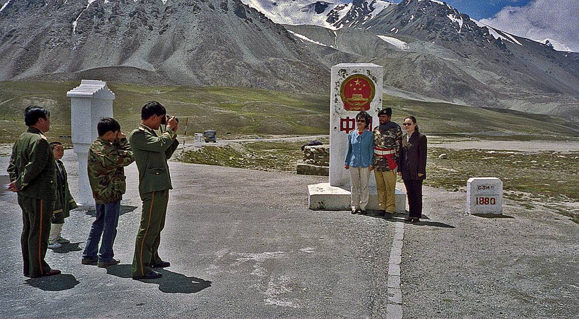
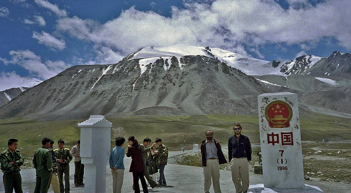
At Khunjerab Pass (4693m), the Pakistan-China border.
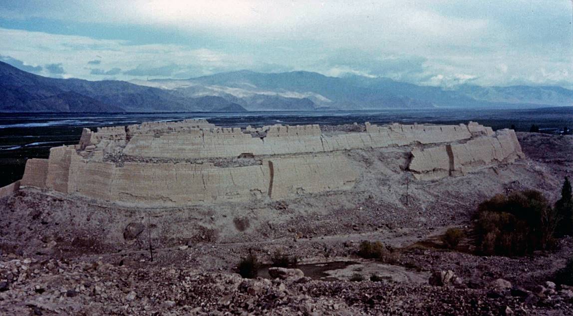
Fortress of Tashkurgan, known as the ″Princess
Castle″, dating from the Yuan dynasty (1279-1368 CE). The town was a
major stop on the Silk Road. Its name means ″Stone Fortress″.
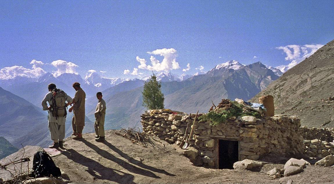
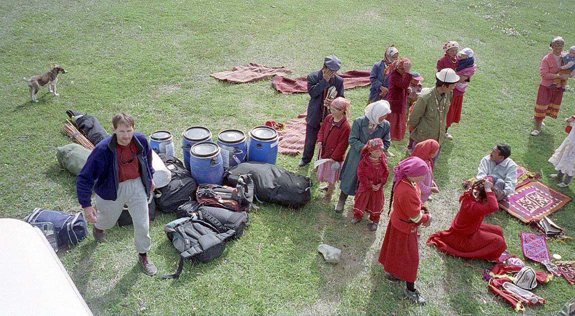
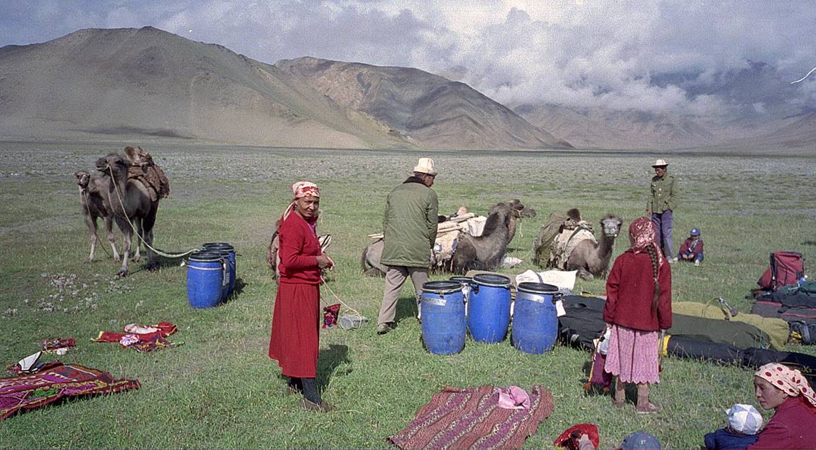
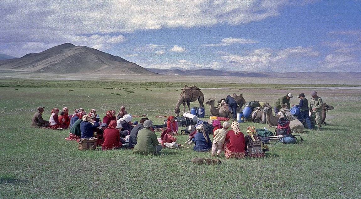
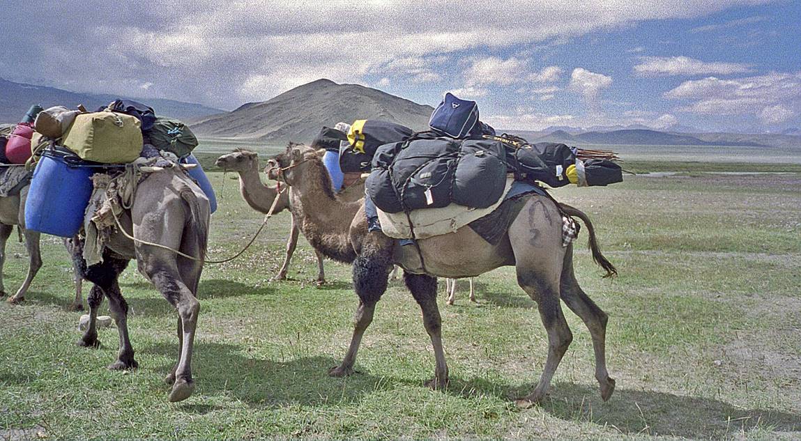
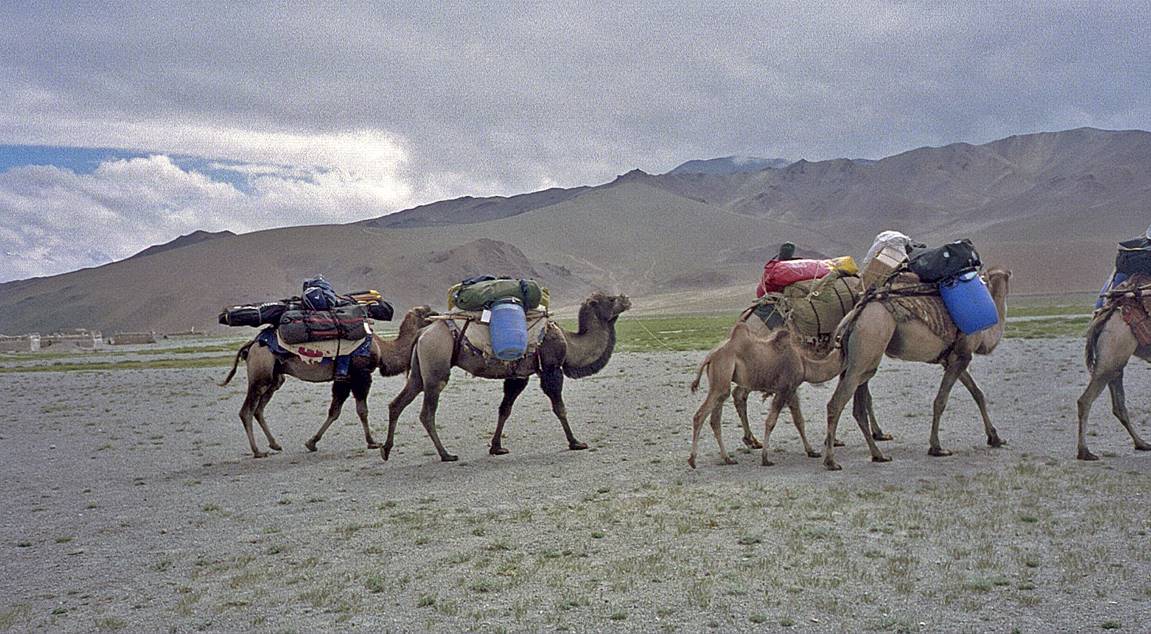
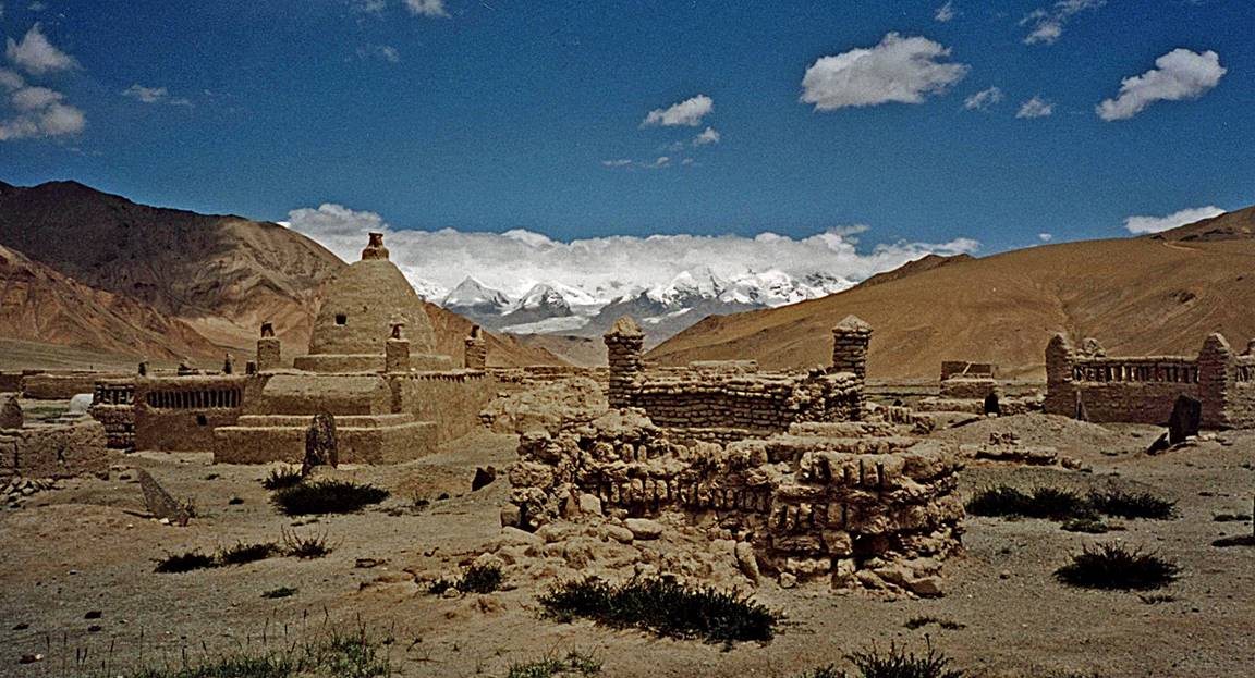
At the base of Muztagh Ata, near the main road, there is a small Kyrgyz
village. Friendly local people (and their camels) helped us carry our loads to
Base Camp. It was the first time that I had my skis carried by a camel!
Village cemetery.
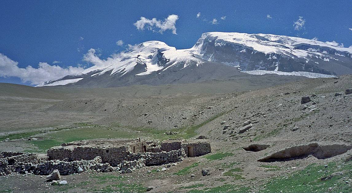
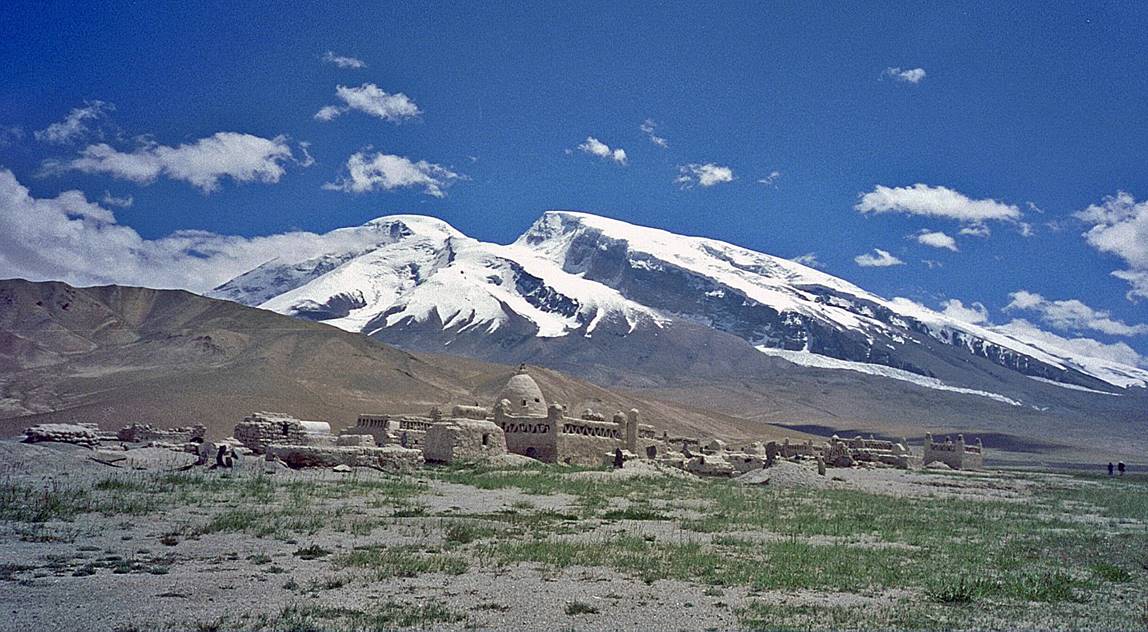
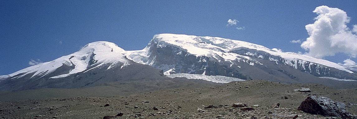
Views of Muztagh Ata from the Kyrgyz village and during the hike to B.C.
(The second picture gives another view of the village cemetery.)

At Base Camp (4400m) there were only a few other groups. Mike and Ghulam
are sorting gear.
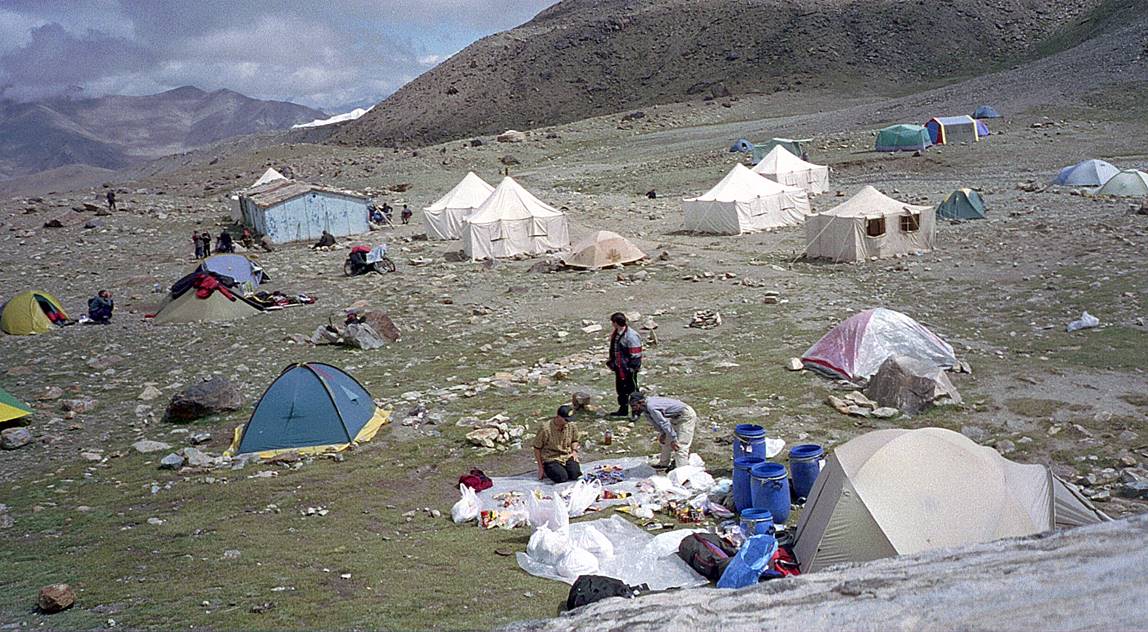
View from B.C. with mountains of Tajikistan in the background.
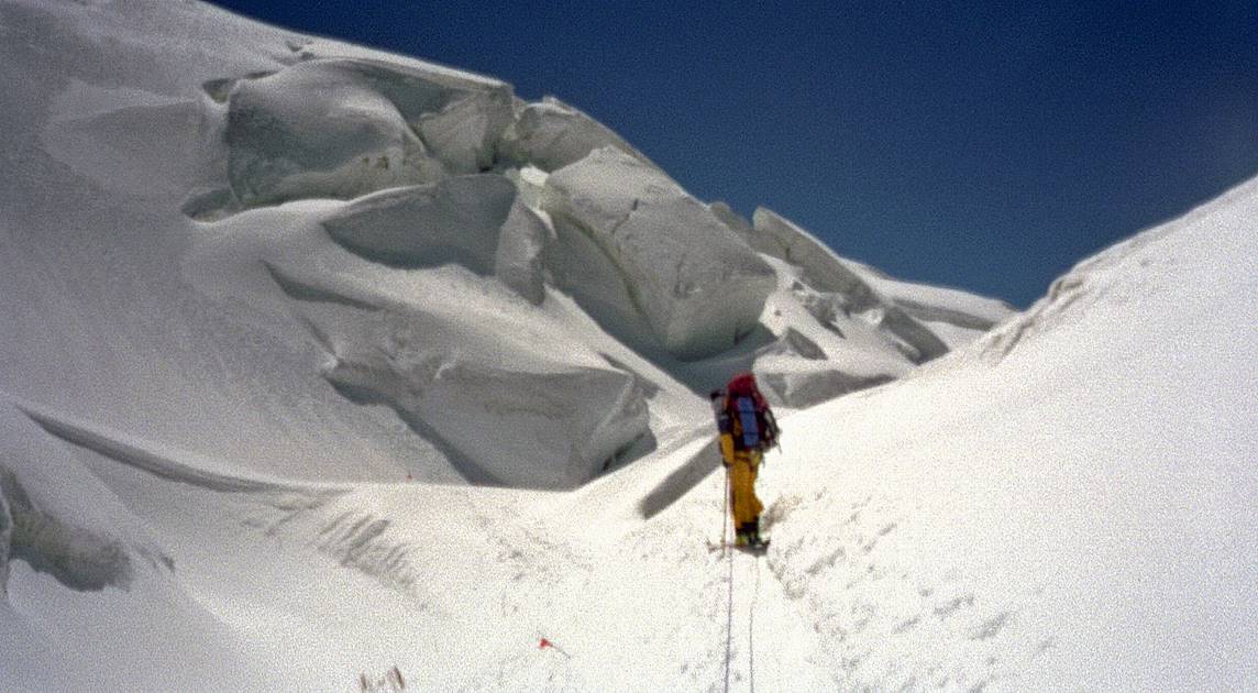
View during the climb to Camp 1. The ascent was on dry terrain almost
until Camp 1 .
At Camp 1 (5400m), just slightly above snow level.
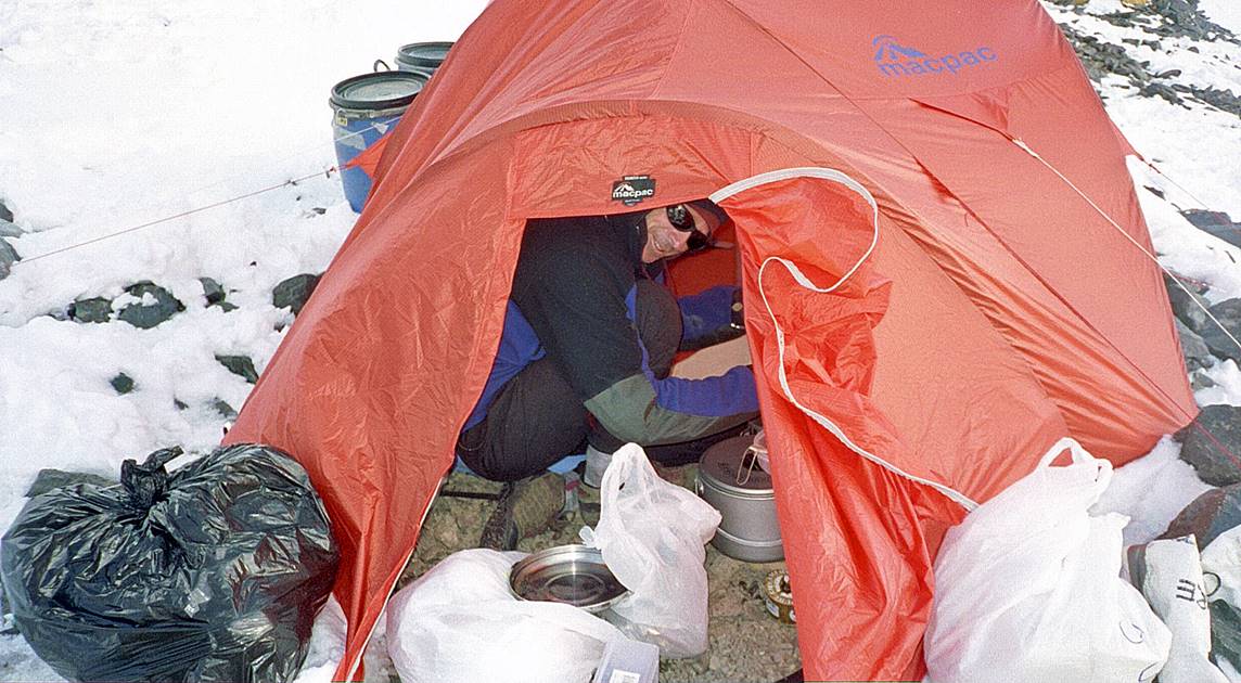
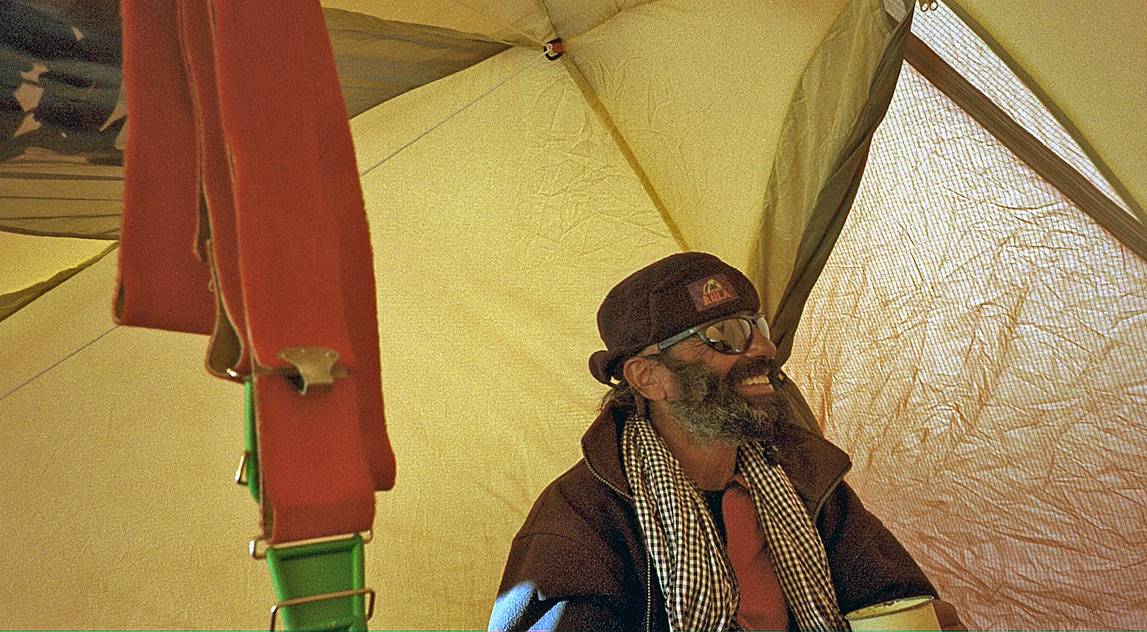
Mike in the kitchen tent.
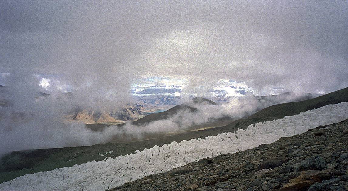
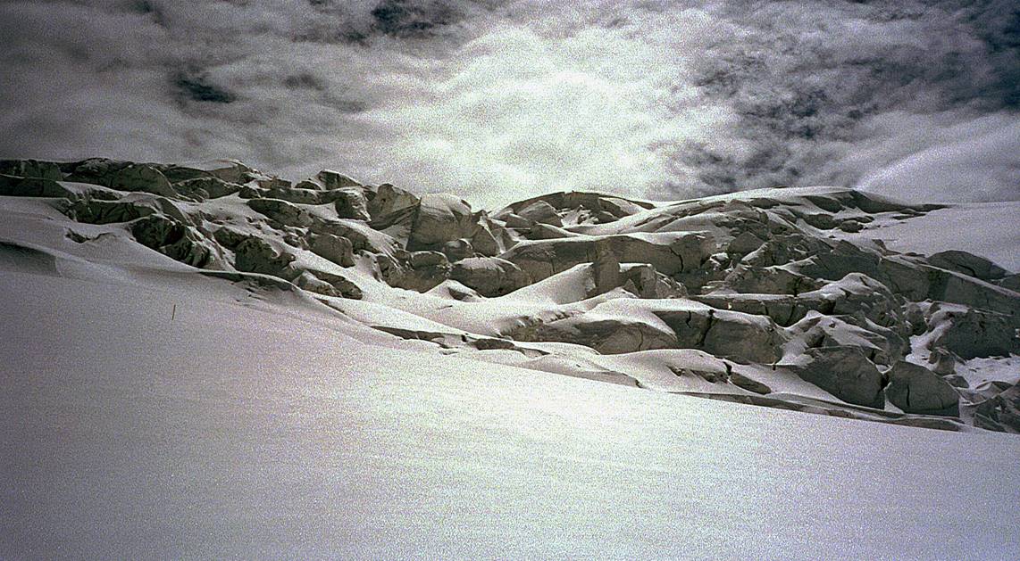
Crevassed terrain between Camps 1 and 2.
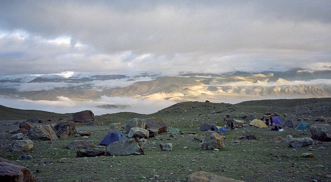
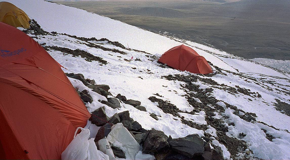
At Camp 2 (6200m). Above B.C., I was sharing tents with Ghulam.
|
|
|
Mike above Camp 2.
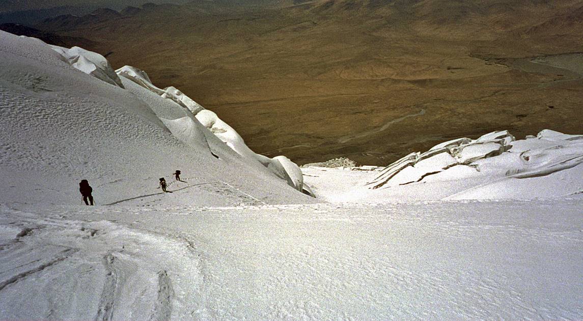
Andrew and Ghulam further up toward Camp 3 (6700m), with Tajikistan in
the background.
|
|
|
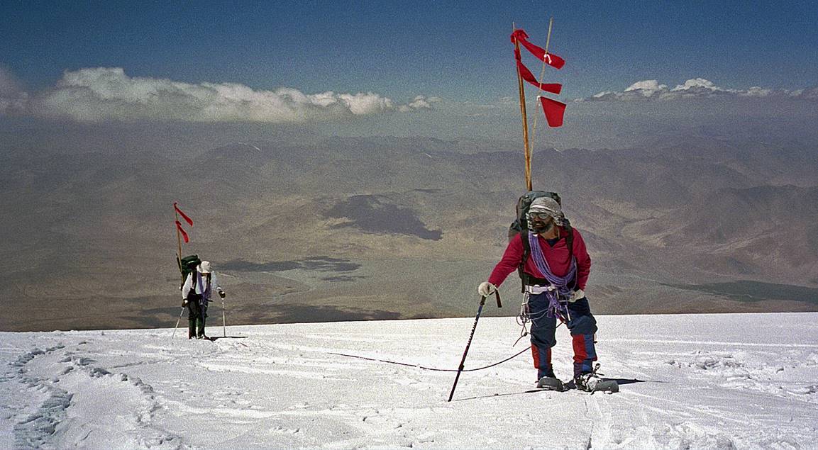
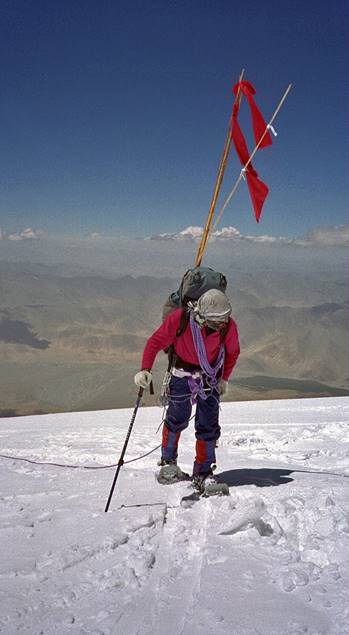
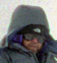
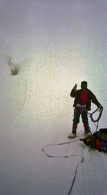
At the summit (7546m). Mike is at the center, Andrew on the right, and me
on the left. Hassan took the photo. The photo may not show it, but we were all
very happy.
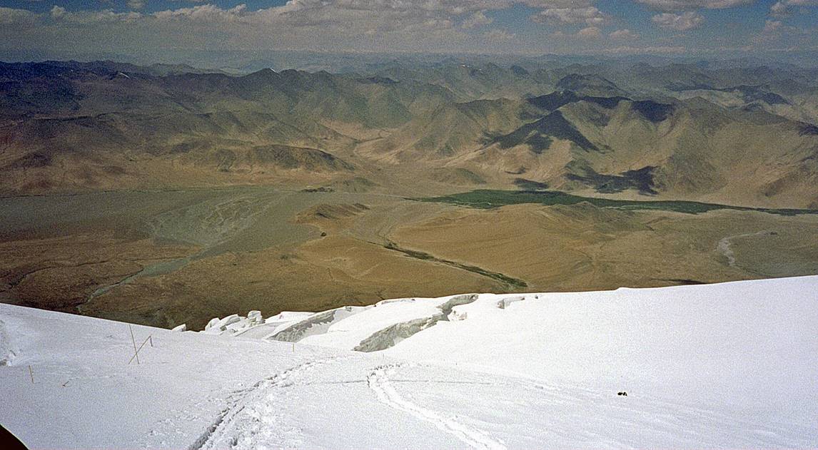
Mike during the descent between Camps 3 and 2. The snow at this high
elevation was quite good.
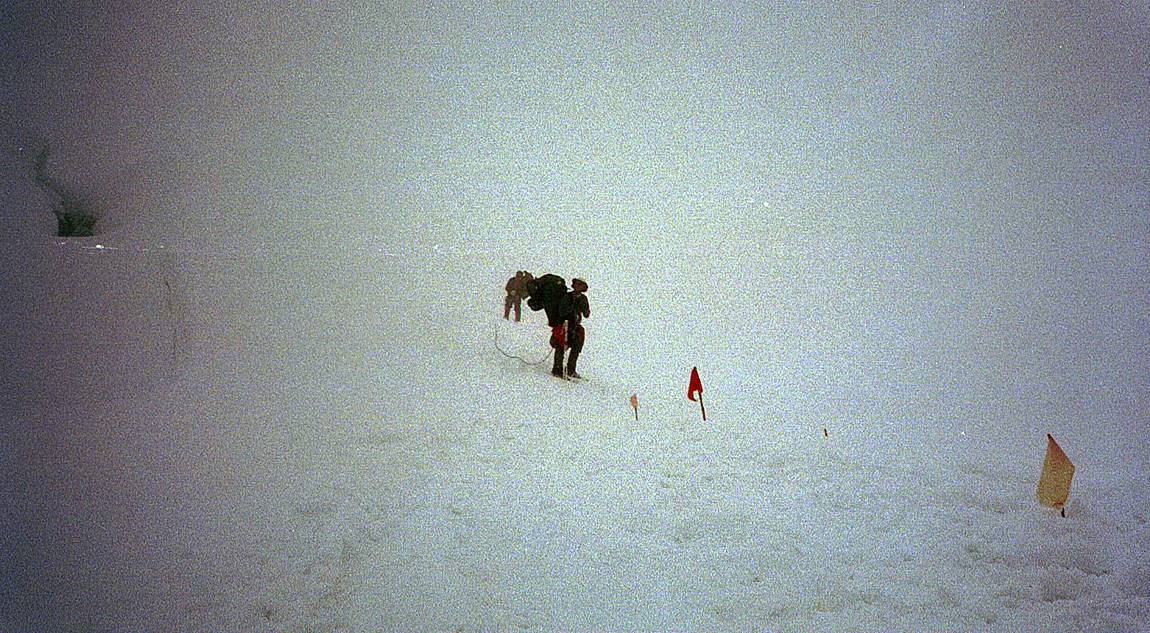
During the descent between Camps 2 and 1, with almost no visibility.
|
|
|
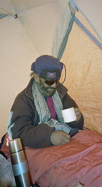
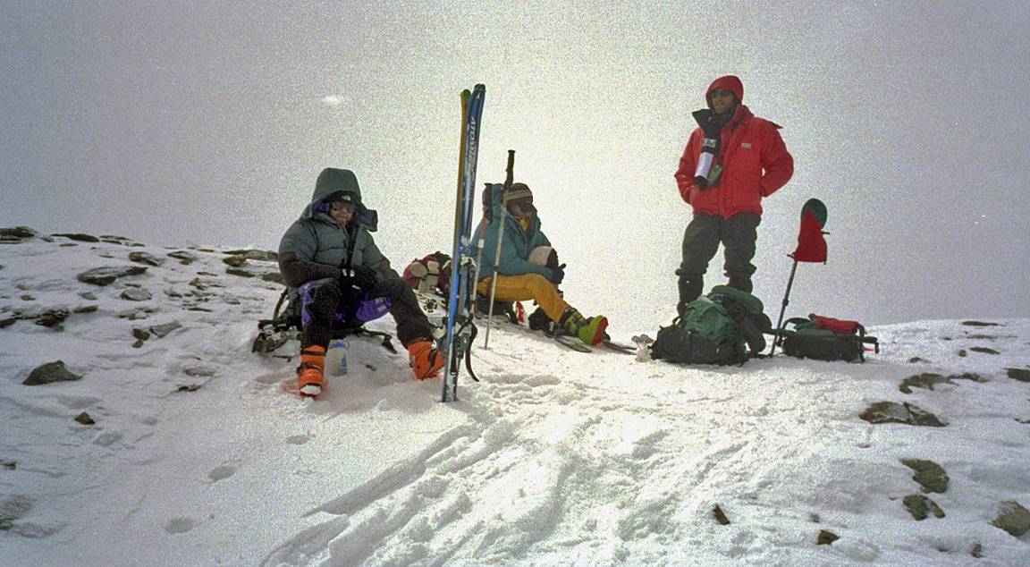
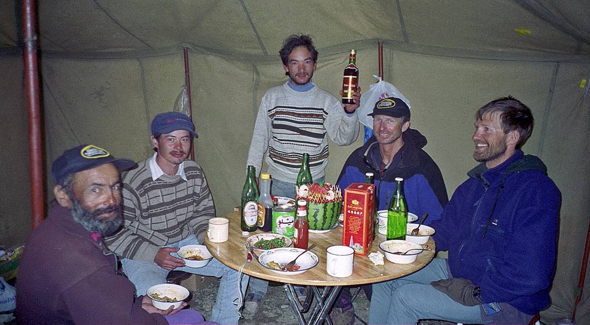
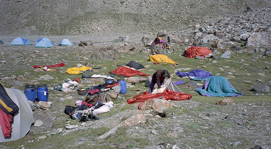
Celebrating our success and drying gear at B.C.
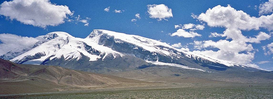
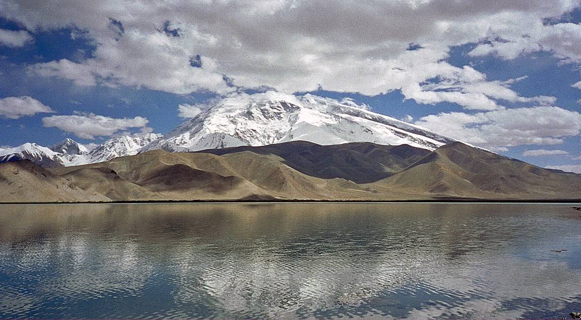
View of Muztagh Ata above Karakol Lake (photo
taken on our way to Kashgar).
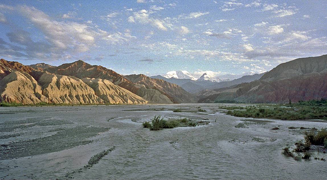
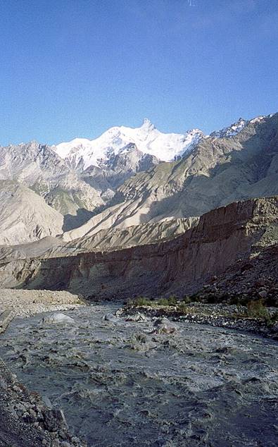
Landscapes north of Muztagh Ata on our way to Kashgar.
|
|
|
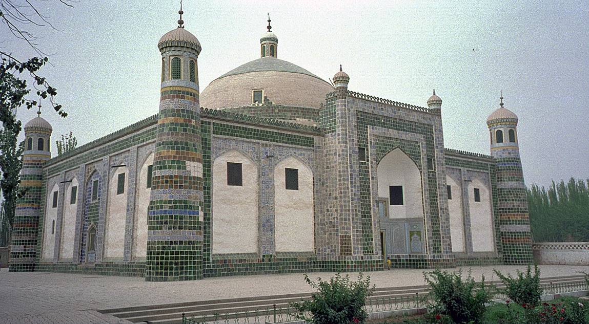
The tomb of Khoja Afaq (religious and
political leader of the 17th century) near Kashgar.
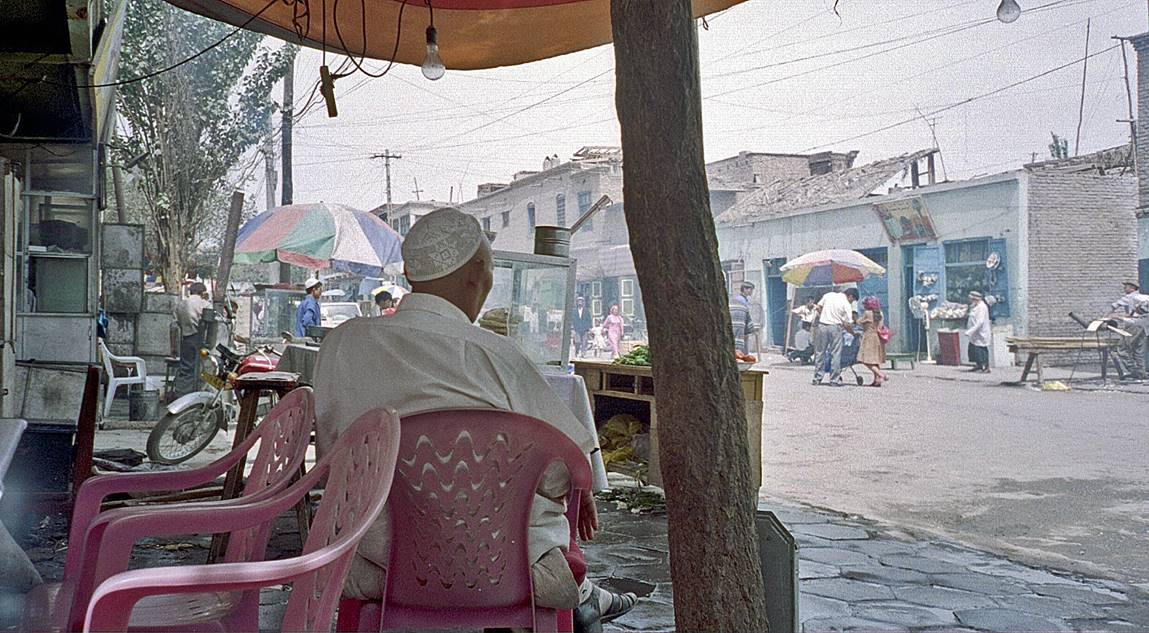
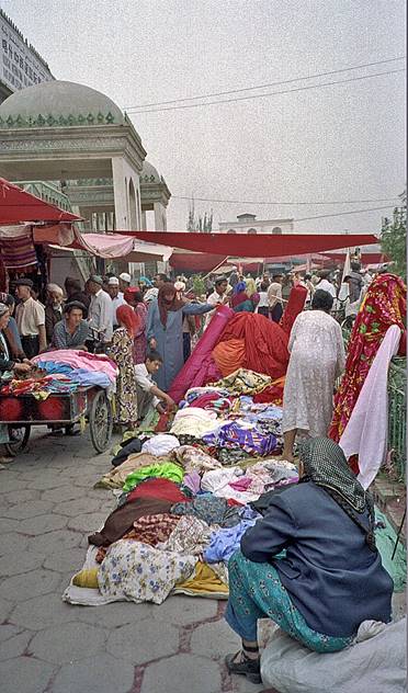
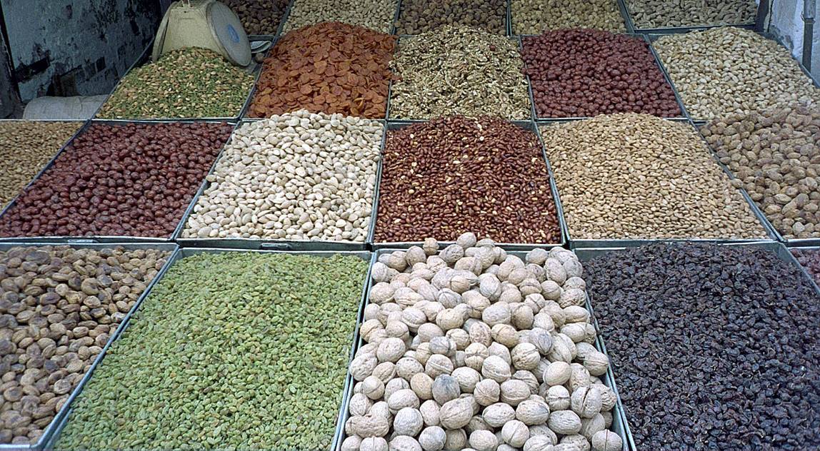
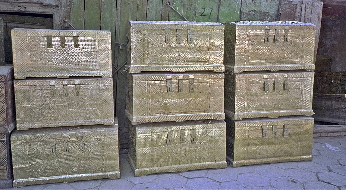
Street and market scenes in Kashgar.
|
|
|
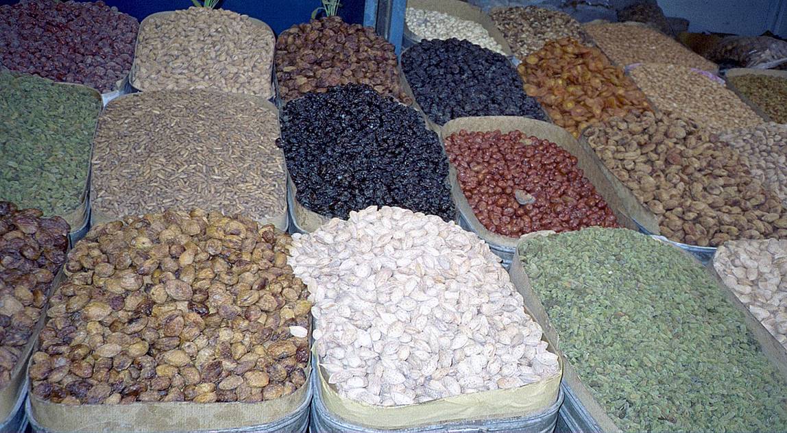
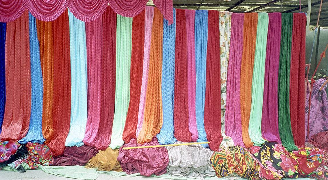
Patterns of Kashgar.
|
|