A Tour of Northern Humla, Nepal (September-October 2014)
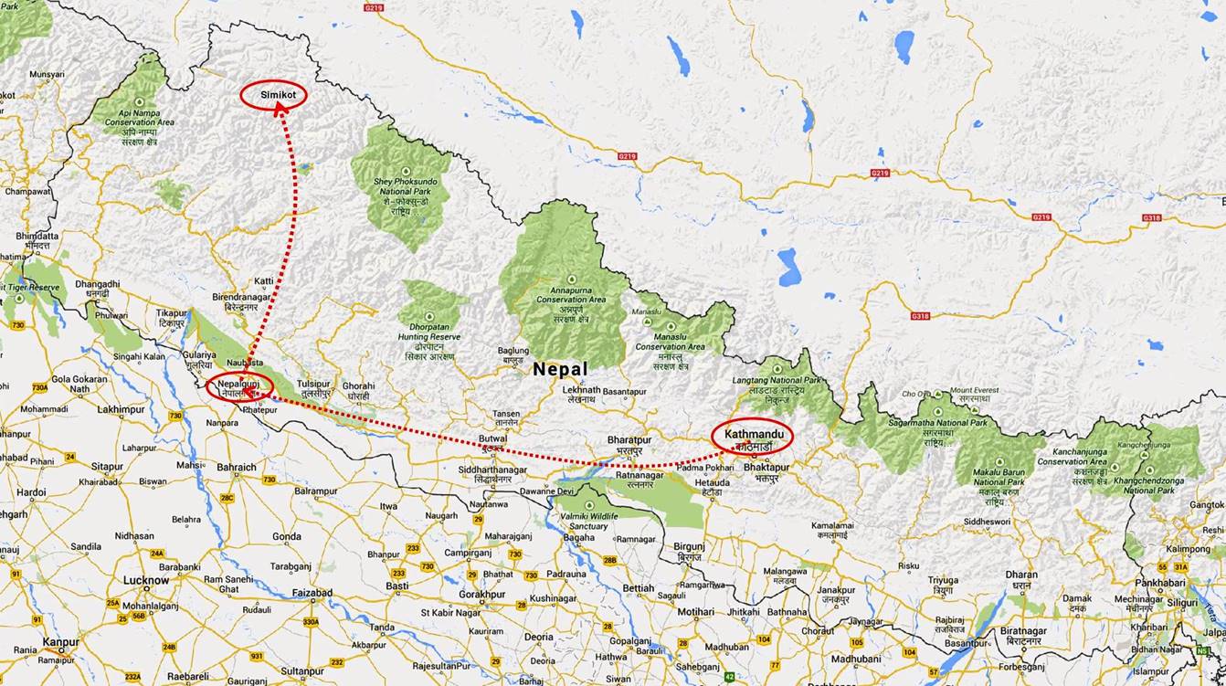
Stage 1: Nepalgunj to Simikot

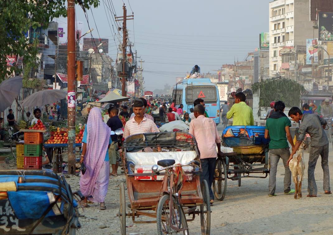
Nepalgunj, a town in southern Nepal (Terai), is the hub for flying to/from the highlands of Western Nepal. We flew to Kathmandu to Nepalgunj on September 27, spent the rest of the day there, and flew to Simikot on the 28th. The flight to Simikot, especially the landing, is quite spectacular. Like many other towns in Terai, Nepalgunj is ugly, hot, wet, and dusty, but colorful and bursting with life.
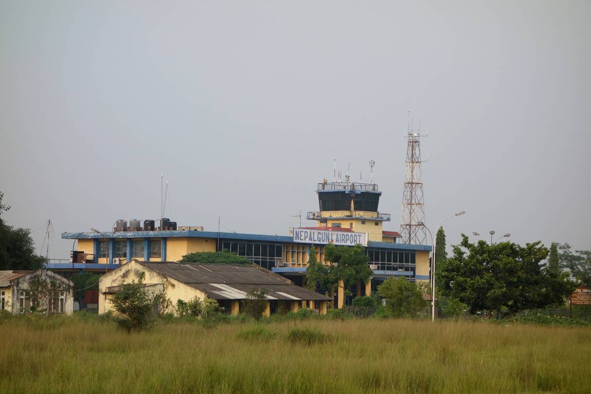
Airport of Nepalgunj.
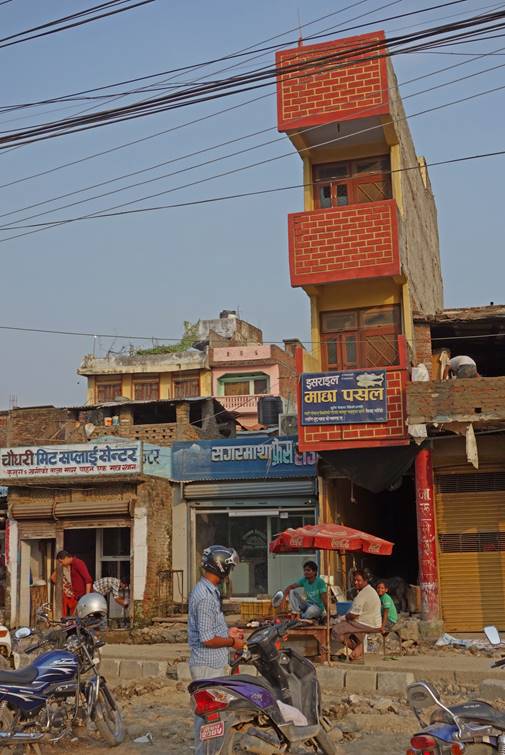
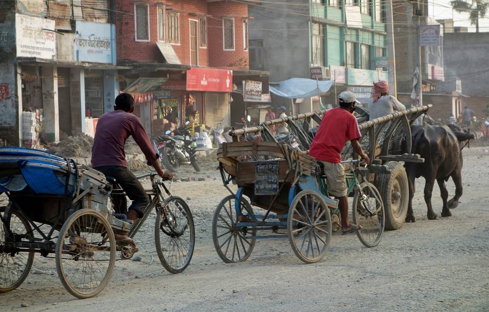
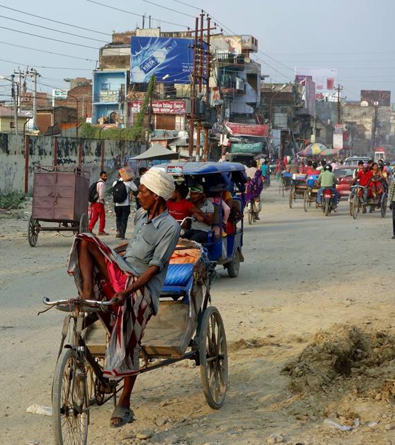
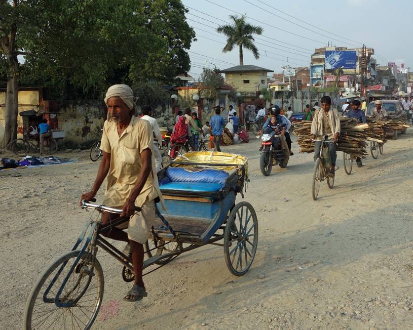
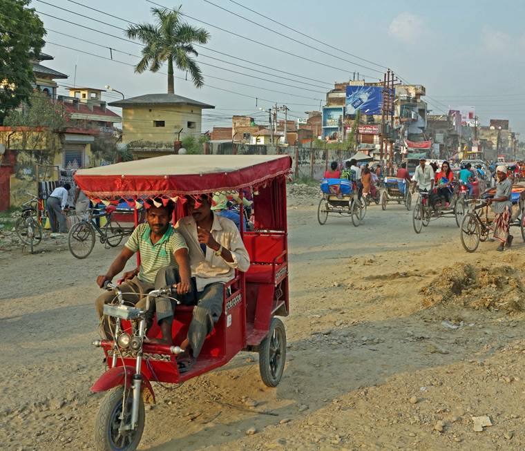
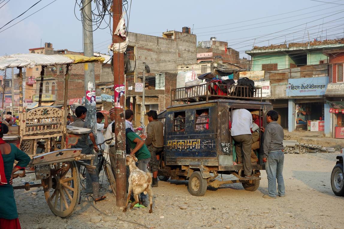
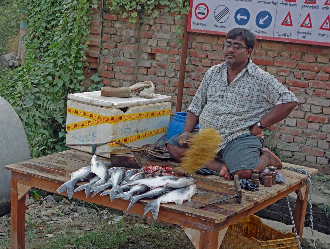
In the main street of Nepalgunj.
|
|
|
|
|
|
|
|
|
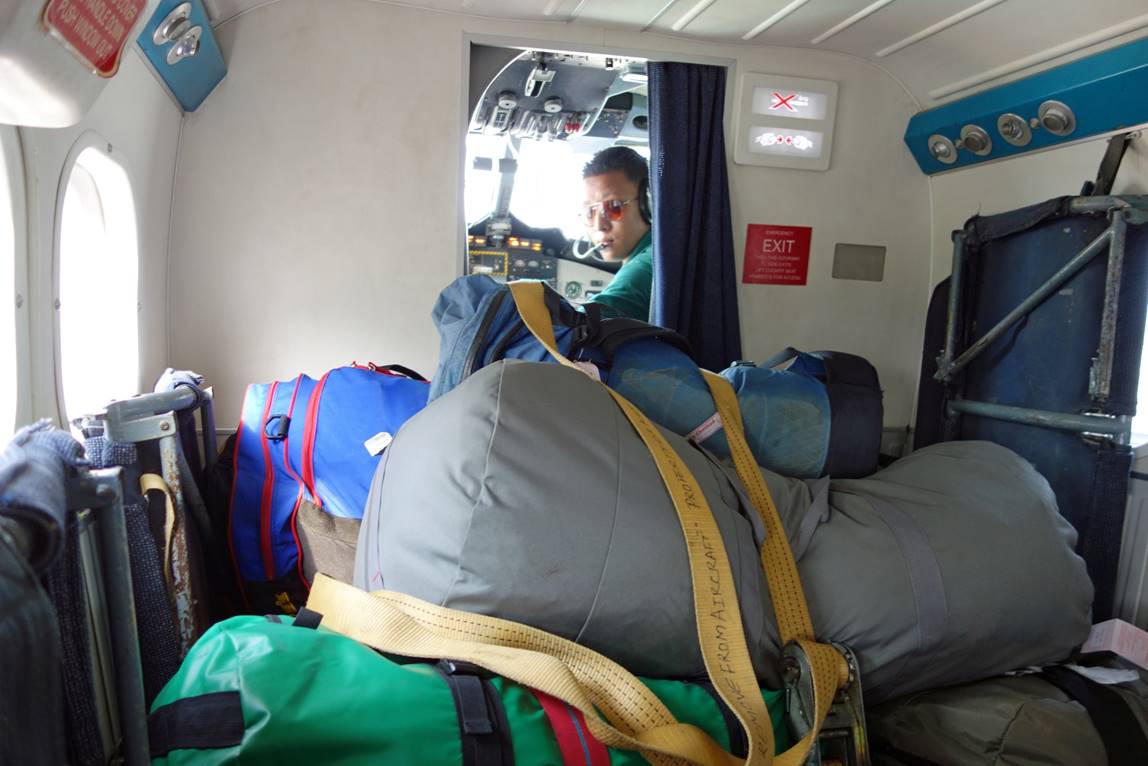
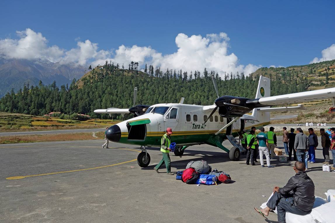
In the plane to Simikot. Passengers and checked luggage share space.
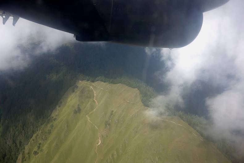
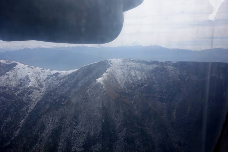
Views from the plane from Nepalgunj to Simikot. The plane grazes mountain ridges above 4000m, before descending toward Simikot (2818m).There is no air pressure control in the plane. So, in barely 30 minutes, the pressure felt by passengers drops from the one at 150m (Nepalgunj′s elevation) to the much lower pressure at 4100m, the elevation that the plane must reach to cross the mountain ranges. There is also a big drop in temperature. Passengers leave in T-shirts, but quickly dress up with thick fleeces.
|
|
|
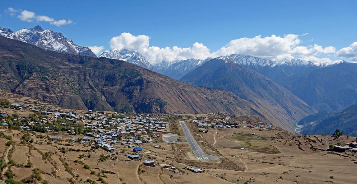
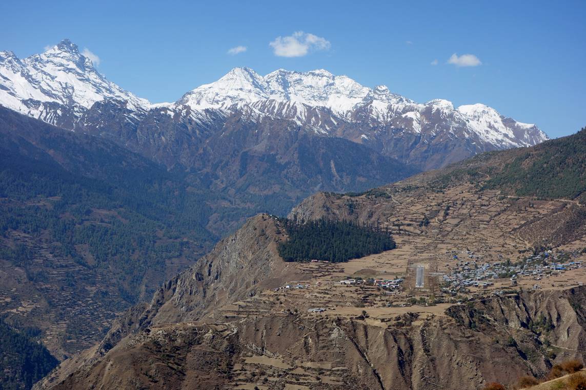
Arrival at Simikot airport.
Two views of Simikot and its airport (from the West and from the East, respectively). Planes land from the East. So, the second view below is approximately what a pilot sees just before landing. (The airstrip has been asphalted only recently.)
Plane landing in Simikot.