A Tour of Northern Humla, Nepal (September-October 2014)
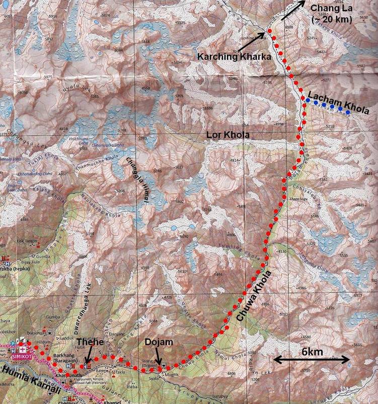
Stage 2: Simikot to Karching Kharka along Chuwa Khola

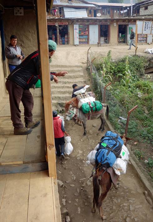
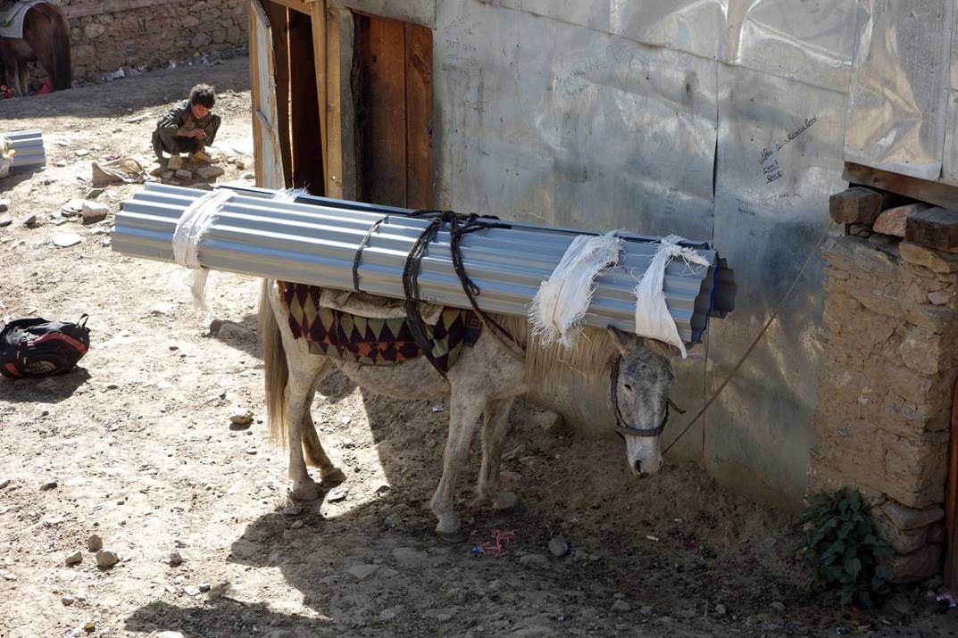
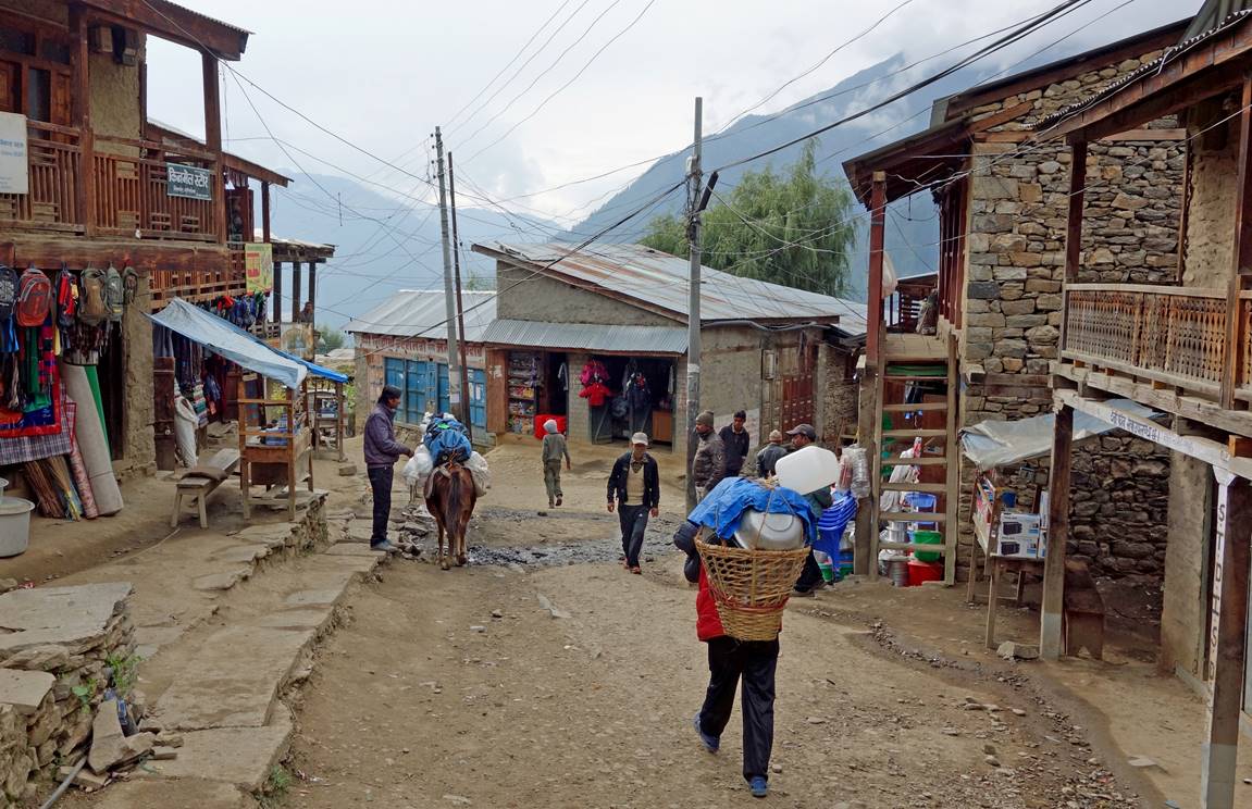
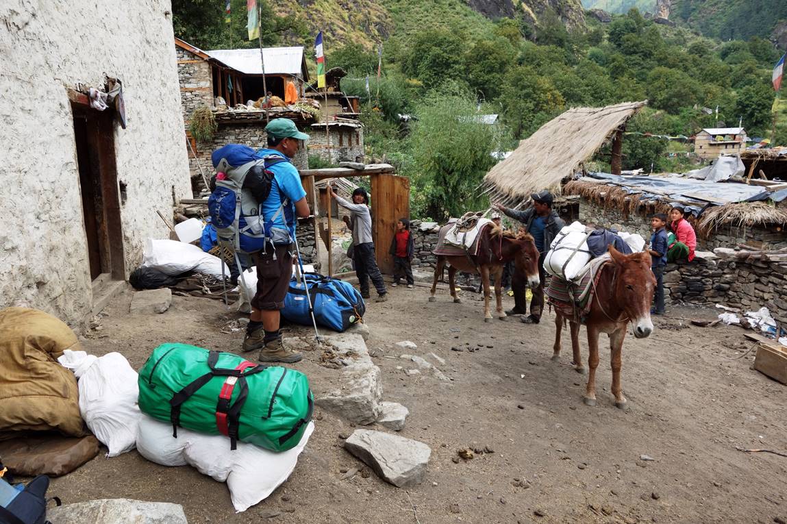
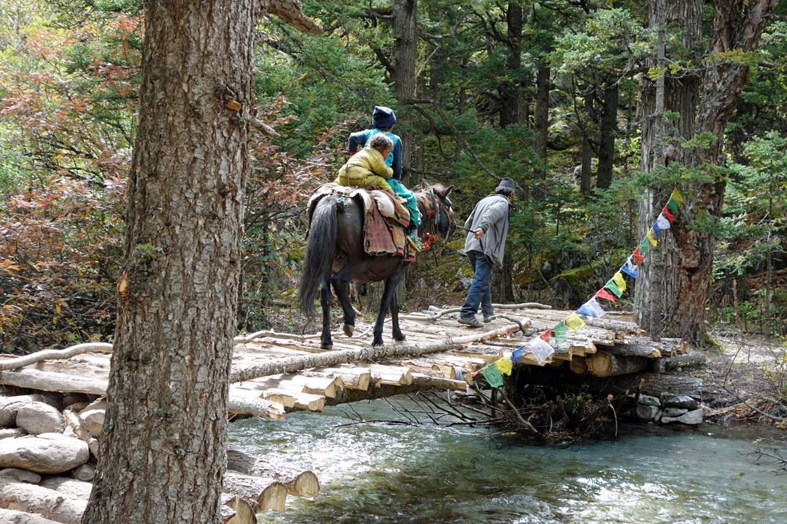
Kalu and Dawa #2 loading the mules, with Dawa #1 (green cap) watching (left). Unlike in some other regions of Nepal, such as Khumbu, human porters are quasi inexistent in Humla. Load carry is done by yaks, mules, and even goats. As Simikot is too low in elevation for yaks, mules are used for all kinds of heavy loads, as shown in the picture on the right.
|
|
|
Leaving Simikot. The ″porter″ in the photo is Dawa #2, who is carrying cooking and eating hardware.
View of the Humla Karnali river soon after leaving Simikot.
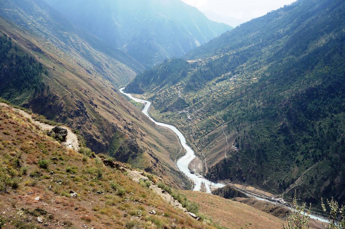
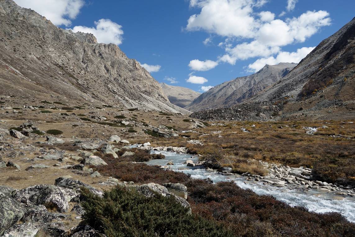
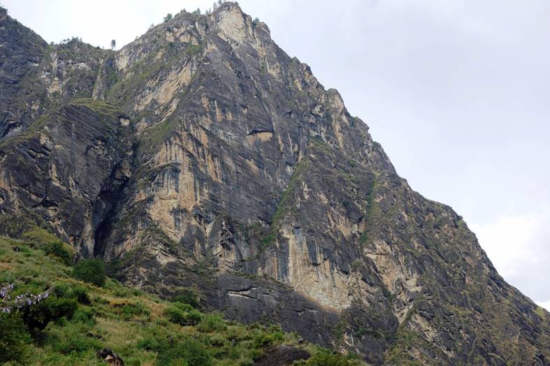
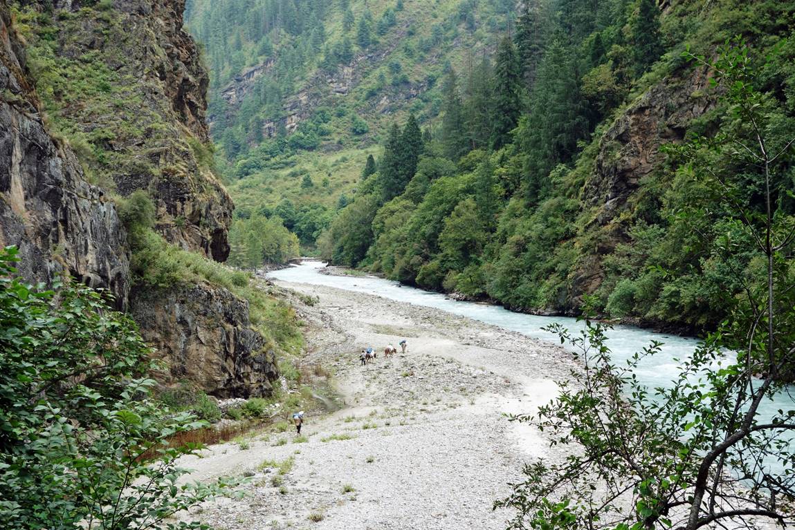
The lower part of the Chuwa Khola valley.

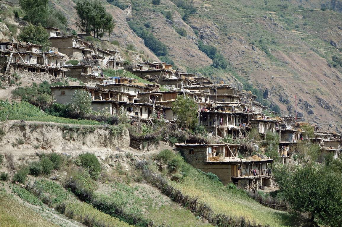
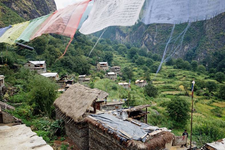
Thehe village.
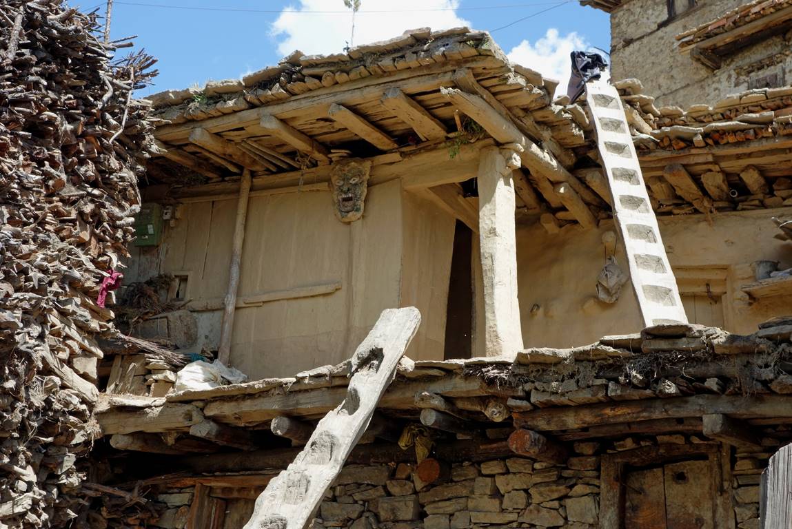
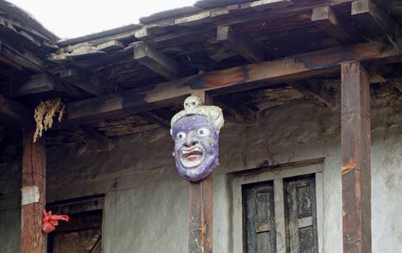
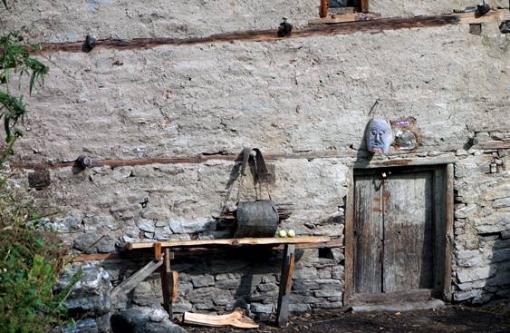
Typical houses. Note the mask on each one of them.
|
|
|
Unloading the mules in Dojam, where we spent our first night. Dojam was going to be the last village that we crossed until Dzang in the Limi valley, about two weeks later. The three mules were not too many to carry all the food and fuel that we needed, as well as other loads.
View over Dojam from the roof of the house where we spent the night (left) and cliff overlooking Dojam (right).
|
|
|
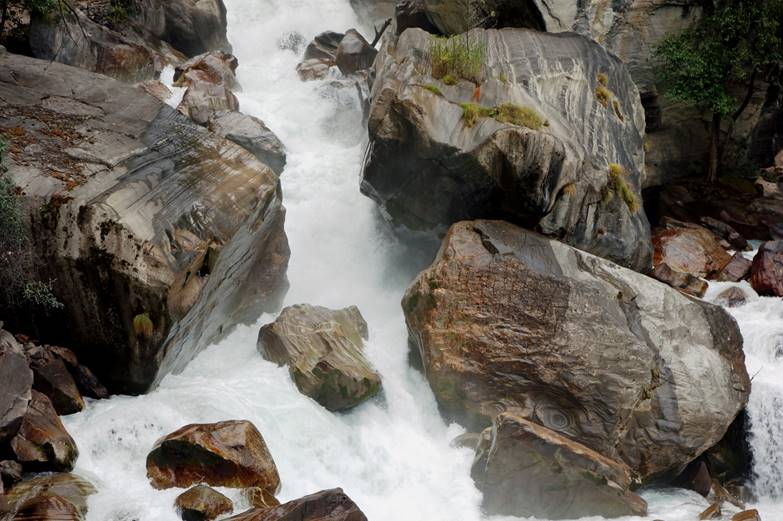
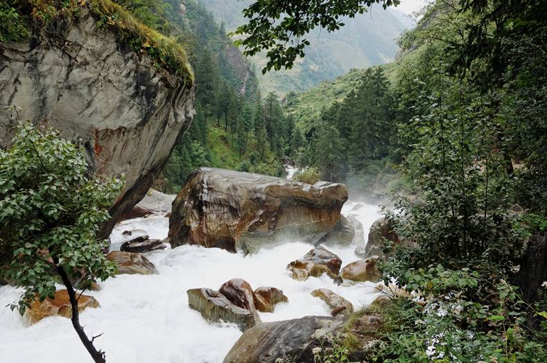
Raging water of Chuwa Khola above Dojam.
|
|
|
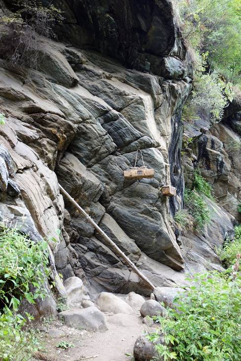
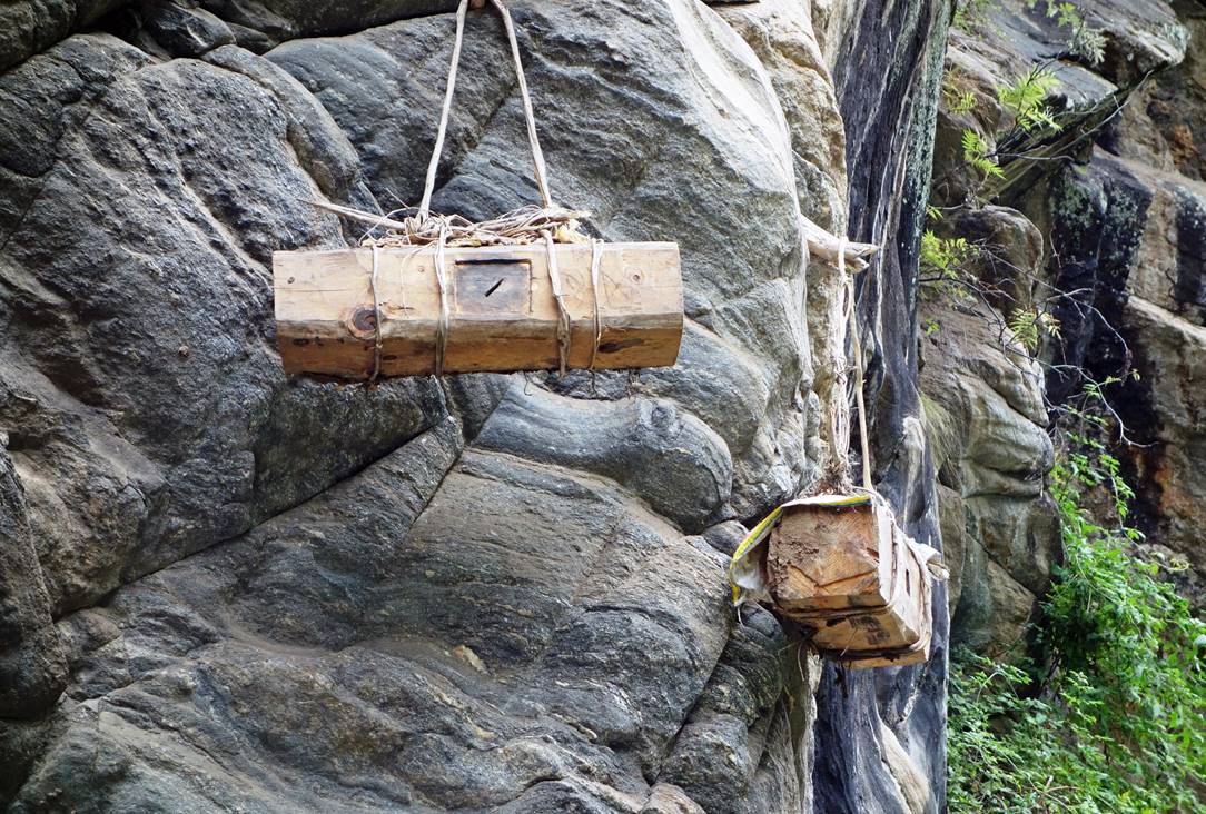
Hanging beehives along the way.
|
|
|
Further up.
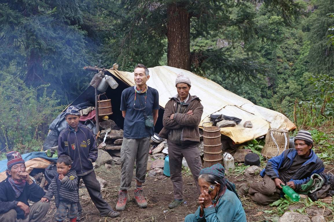
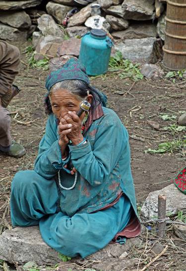
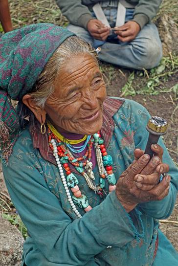
At a herder camp. Their yogurt was excellent!
|
|
|
|
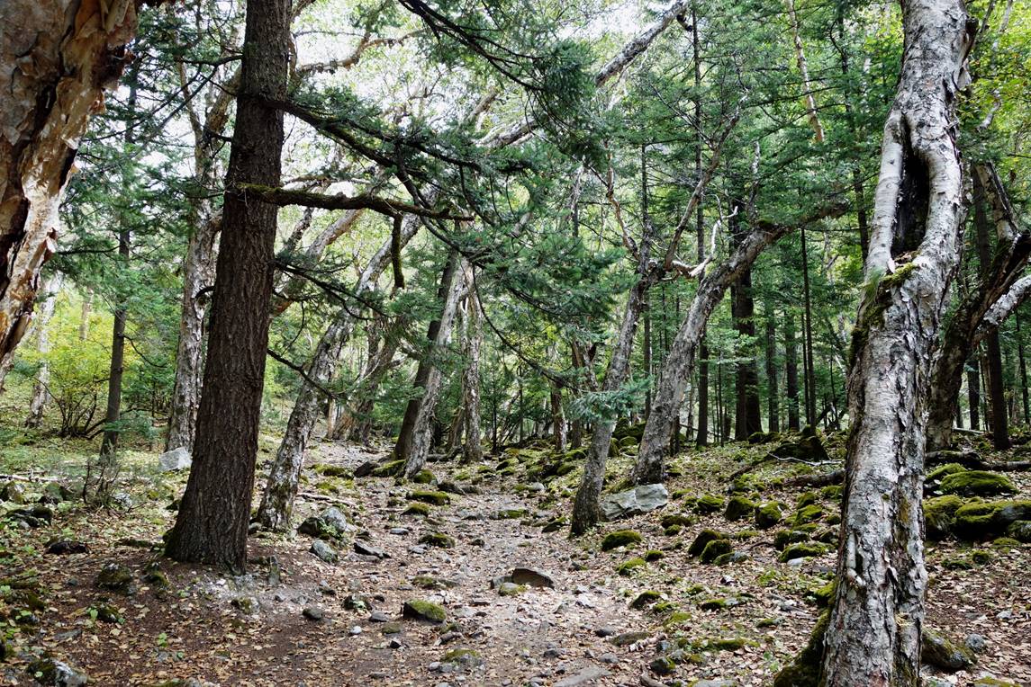
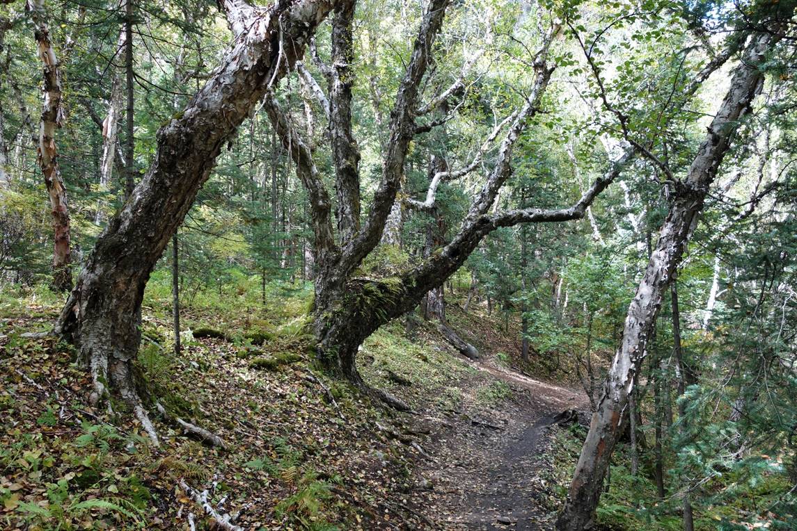
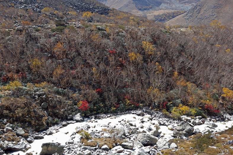
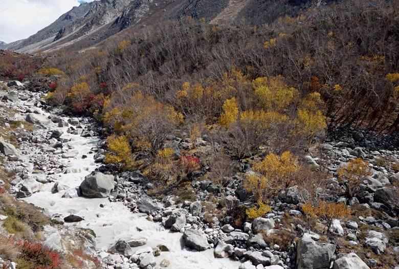
Further up we crossed some beautiful forests.
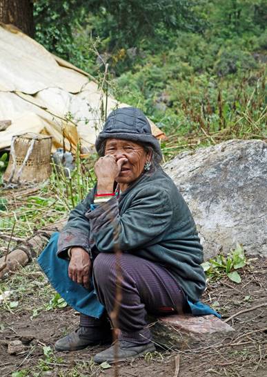
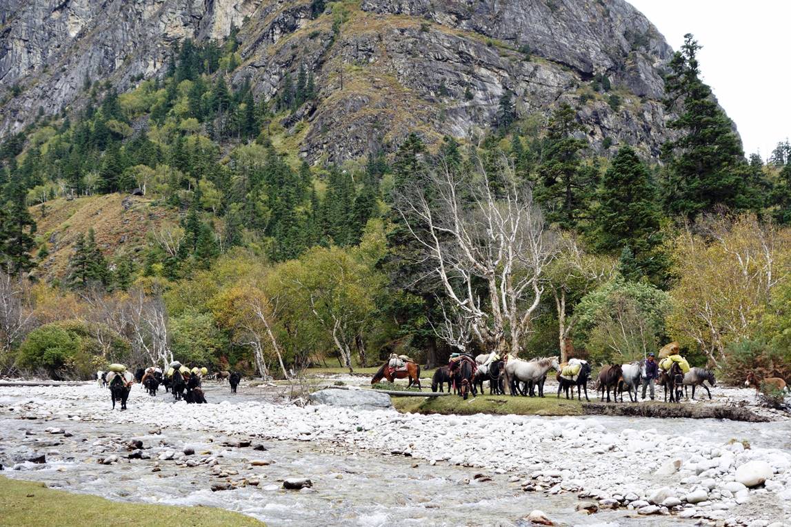
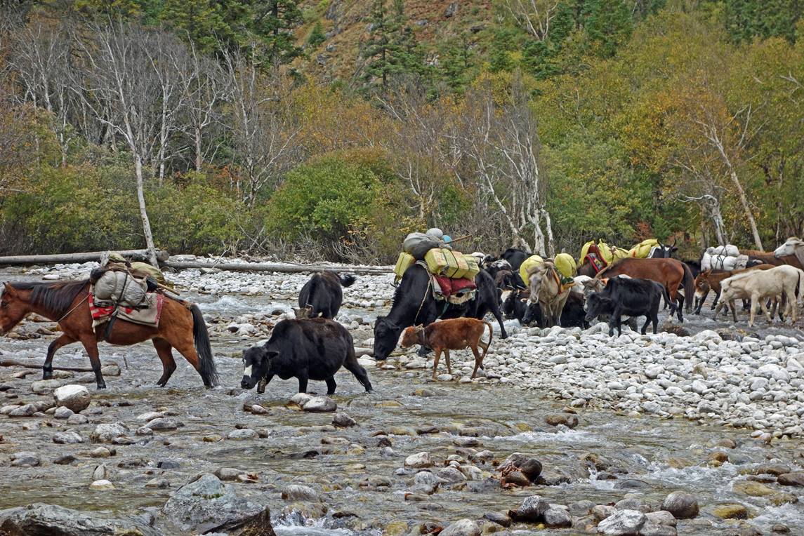
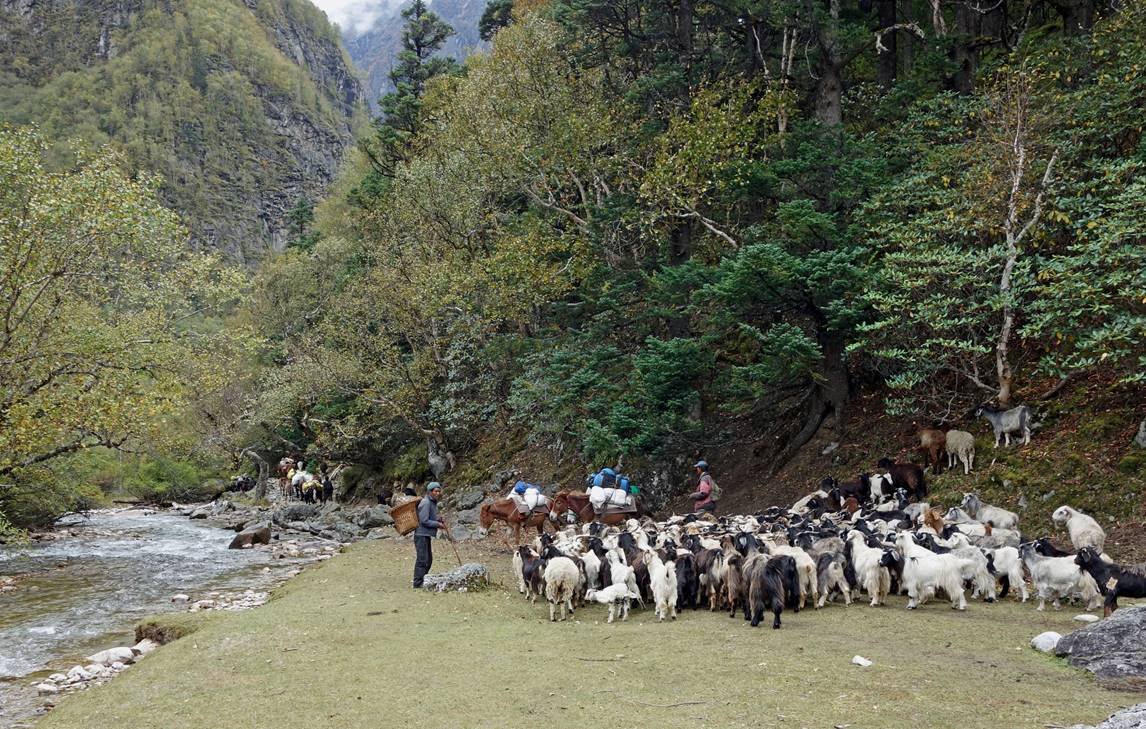
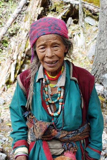
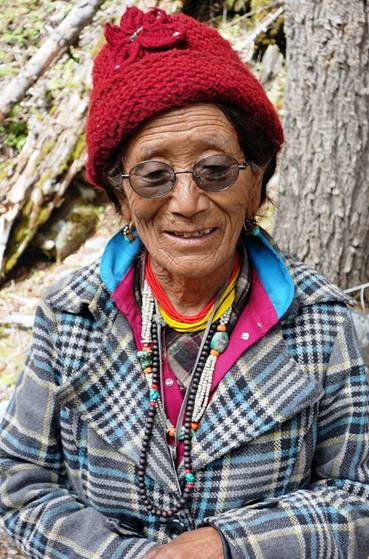
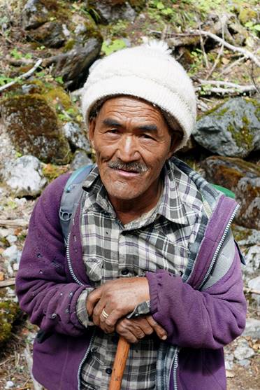
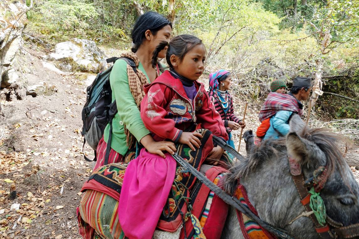
For a couple of days, we encountered numerous herders, who were returning from their high-elevation summer (monsoon) pastures.
|
|
|
|
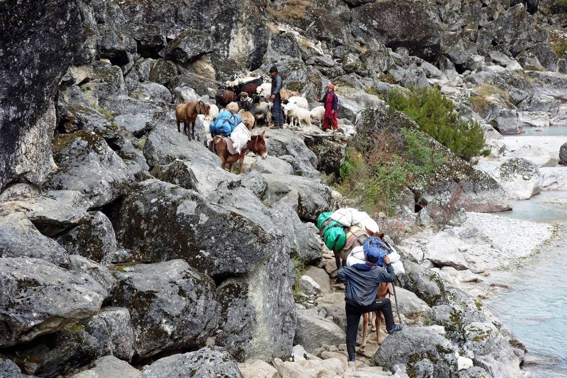
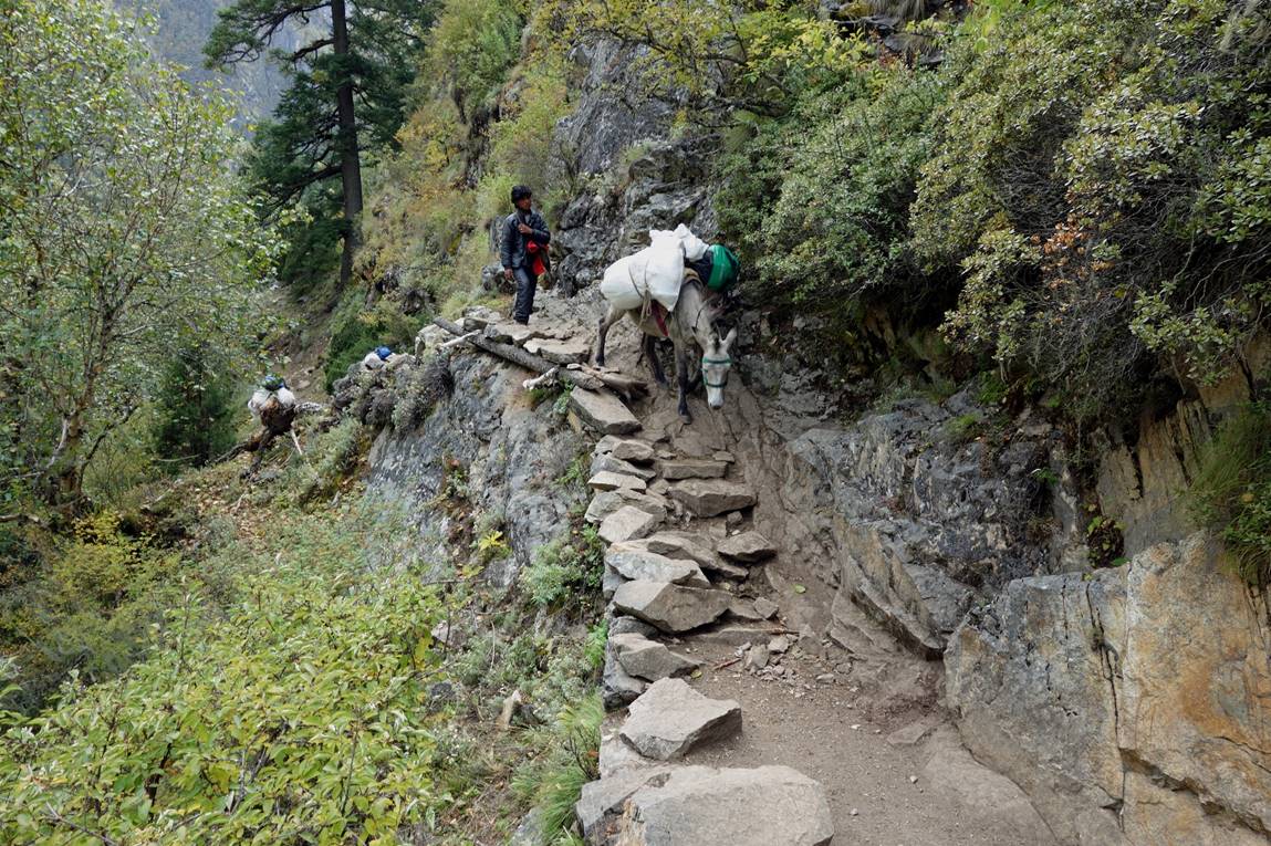
A difficult passage for the mules. In the past, this trail had more traffic due to local trade with Tibet through Chang La. Unfortunately, several years ago, the Chinese government stopped this trade that it did not control. Nevertheless, the trail remains reasonably well maintained to provide access to the monsoon pastures.
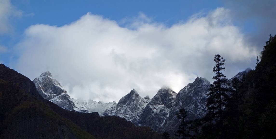
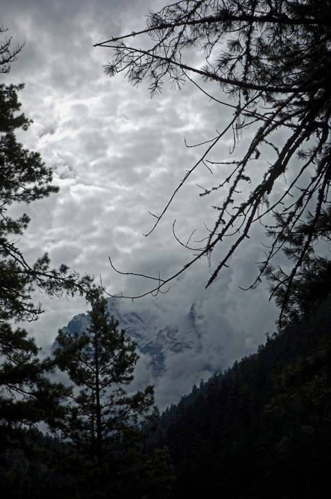
As we progressed further up snowed peaks became more often visible.
|
|
|
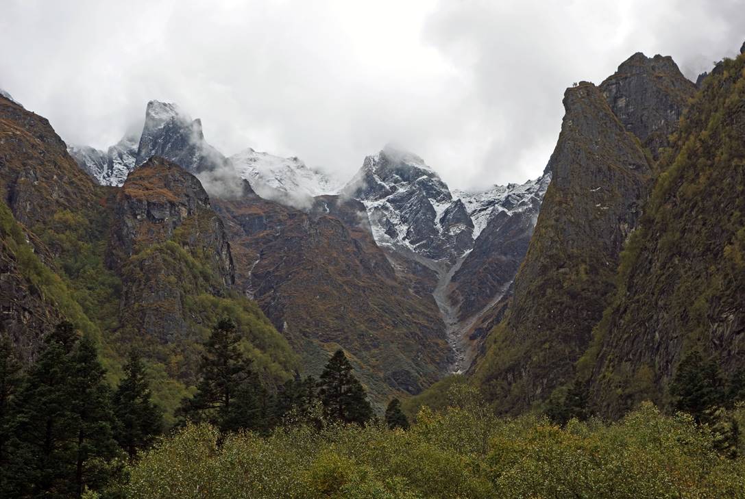
Soon after trees became much sparser and progressively disappeared.

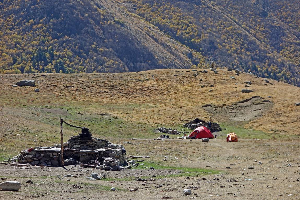
Our camp in a recently emptied summer pasture facing Lor Khola.
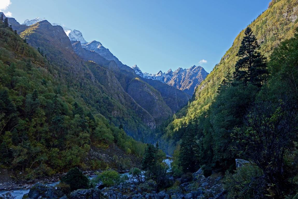
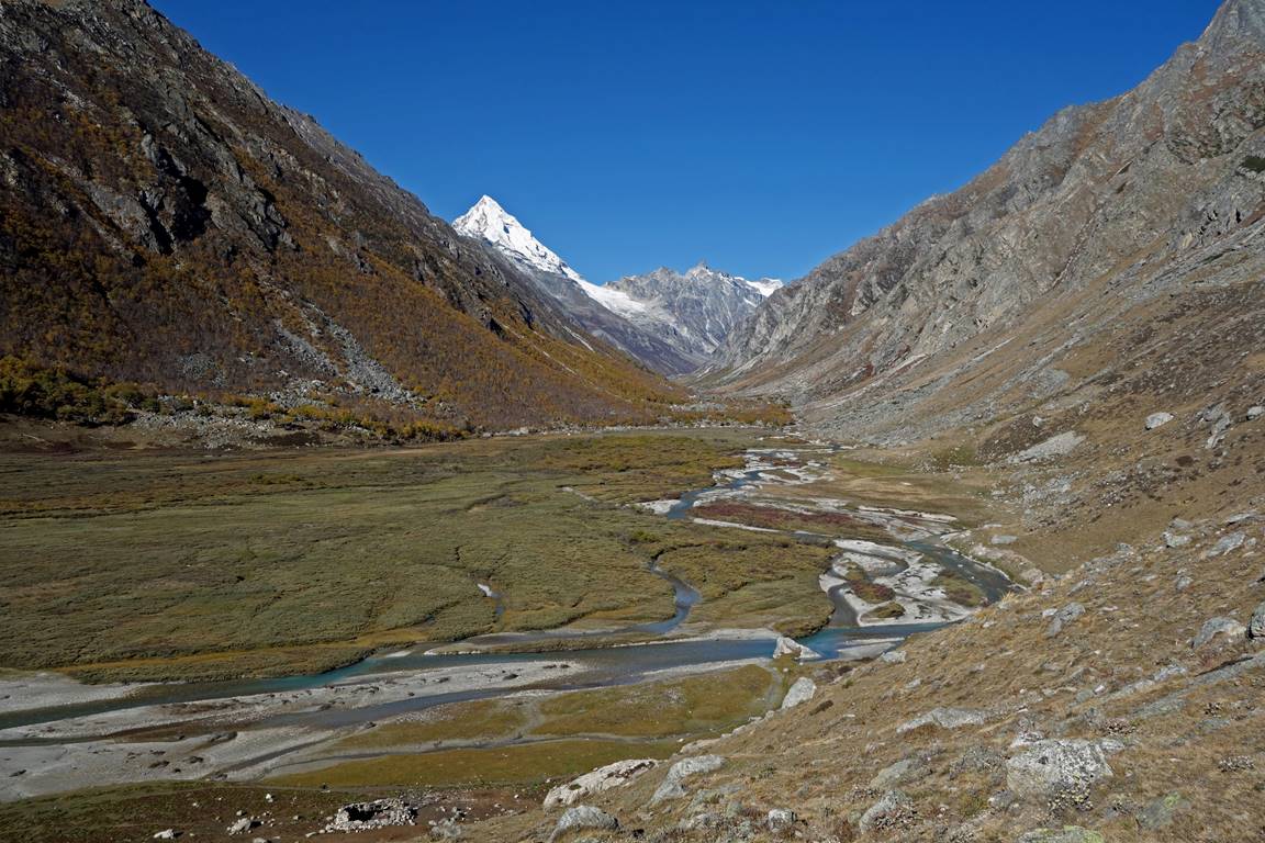
The valley of Lor Khola, with a 6246m peak in Changla Himal.
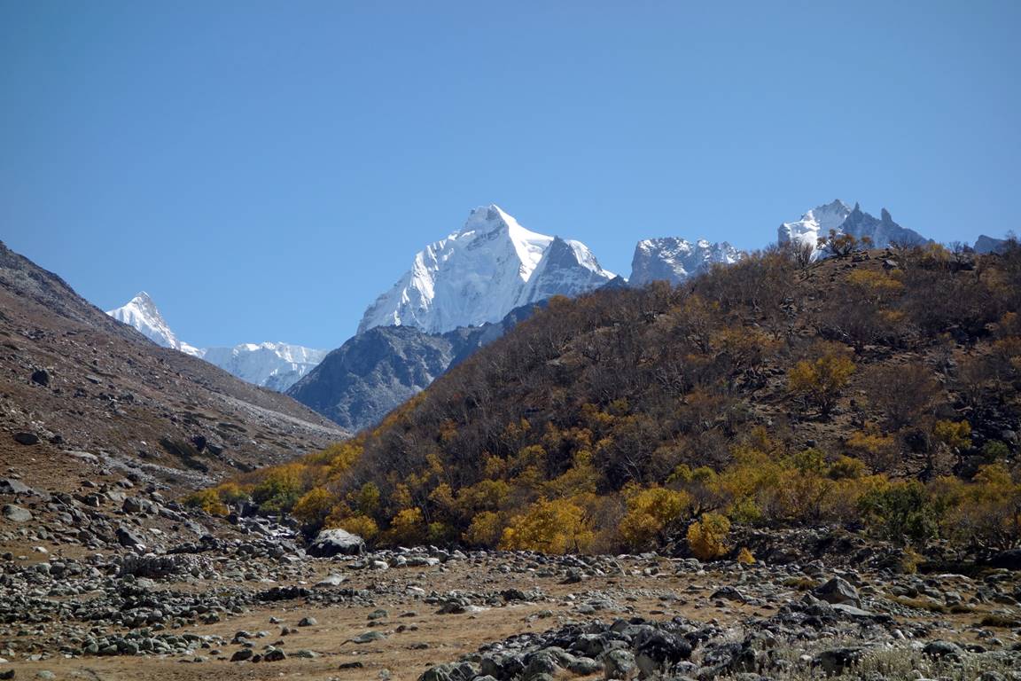
Autumn colors at the start of the Latham Khola valley, with several peaks in the background.
|
|
|
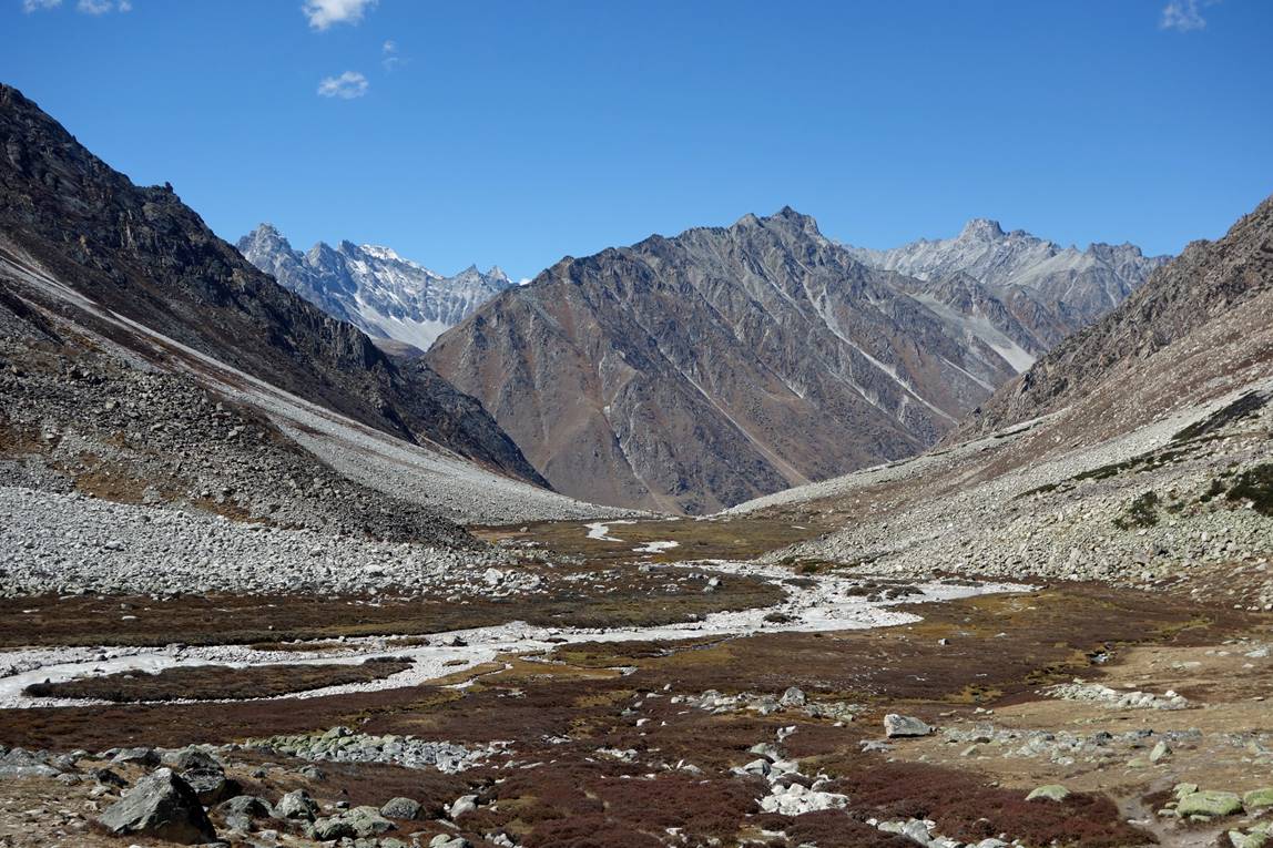
At the end of our sidetrip along Latham Khola (see map at the top of this page). Right: the valley going North-East. Left: the valley going South-East.
|
|
|

View on our way down along Latham Khola. The mountains in the background are on the opposite side of Chuwa Khola.
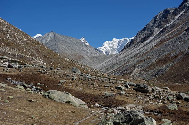
View of the upper Chuwa Khola valley toward Chang La at Karching Kharka. At this place we left the Chuwa Khola valley to enter the Ning Khola valley.