A Tour of Northern Humla, Nepal (September-October 2014)
Stage 7: Hilsa to Simikot with sidetrip to Yansi Gompa
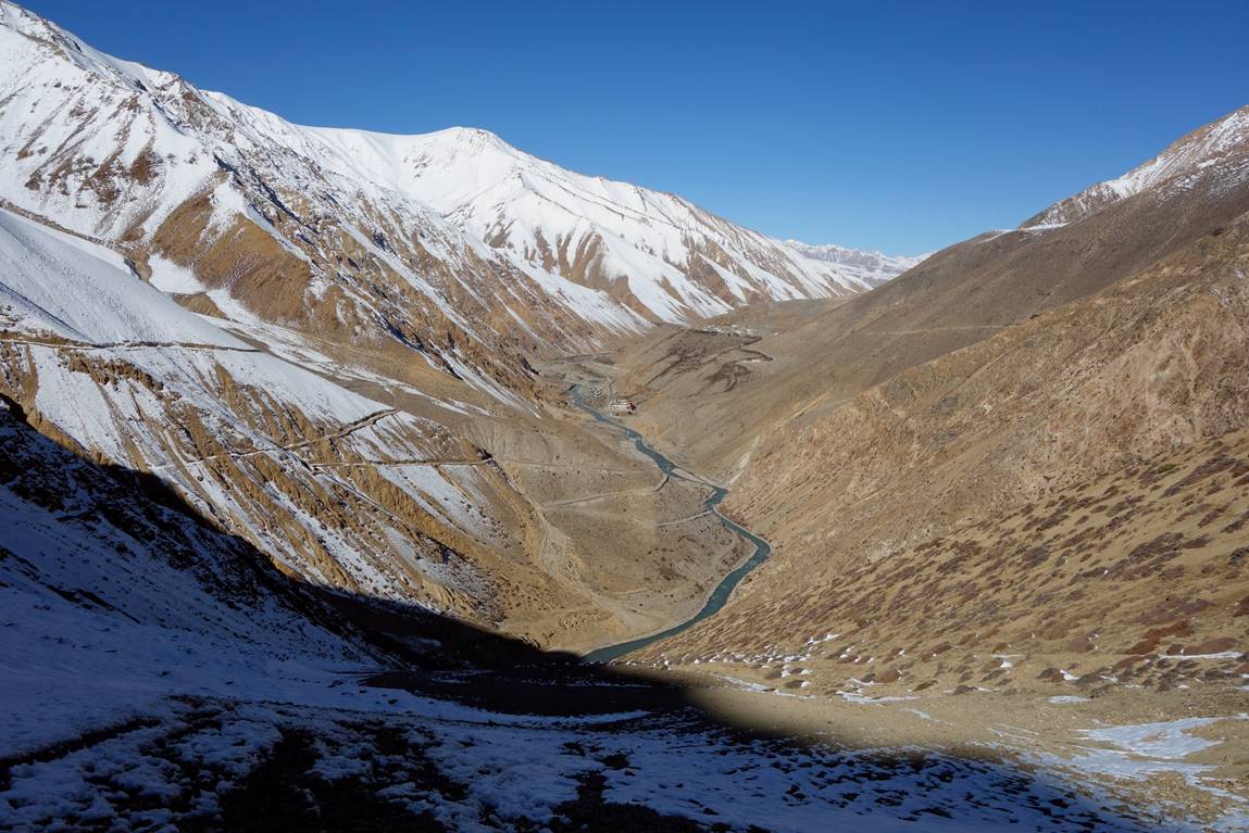
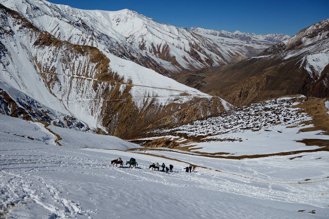
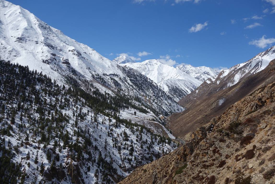
Nara La had received a relatively large amount of snow for its elevation (4560m). Two days before we crossed the pass locals had ″opened″ the pass by sending a ″train″ of several dozen yaks. The yaks had created a nice track to the pass, but avalanche risks were still real. So, we left early in the morning and crossed the pass around 11am.
I found the section between Yari village and Simikot somewhat less interesting than any of the other sections of the trek. One reason is that a road is being constructed to connect Simikot and Hilsa. By lack of construction equipment this road may still take many years before completion. But environmental damage through the narrow Humla Karnali valley (e.g., landslides) is already obvious. One may argue that such a road will improve the life of local people. By having seen the impact of new roads in other mountainous parts of Nepal, I strongly doubt this will be the case. The road will only be an invitation for more people to migrate to Kathmandu. Interestingly, the richest district of Nepal, Solukhumbu, has almost no roads, all located in the southern (lowest) part of the district.
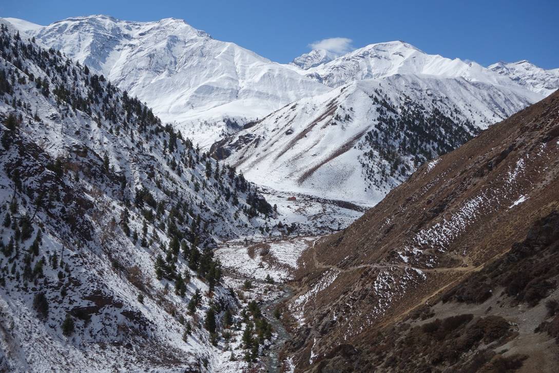
View of the Humla Karnali river during the early stage of the ascent of Nara La.
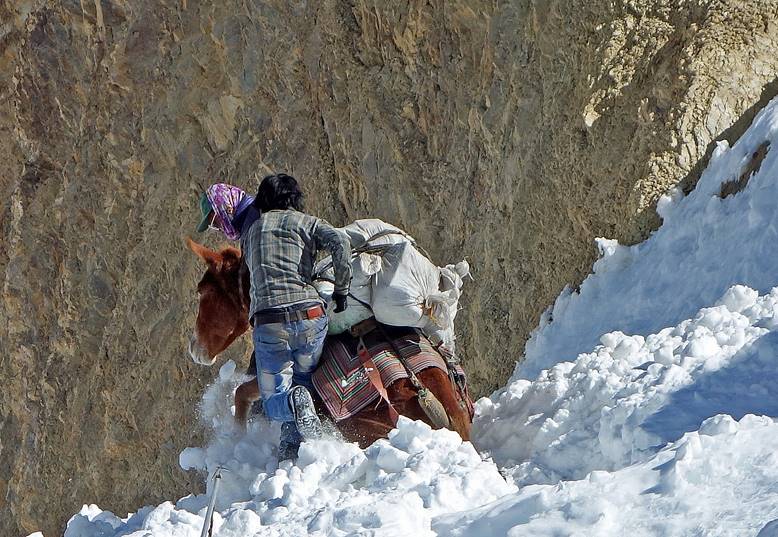
Avalanche-prone sections of the ascent.
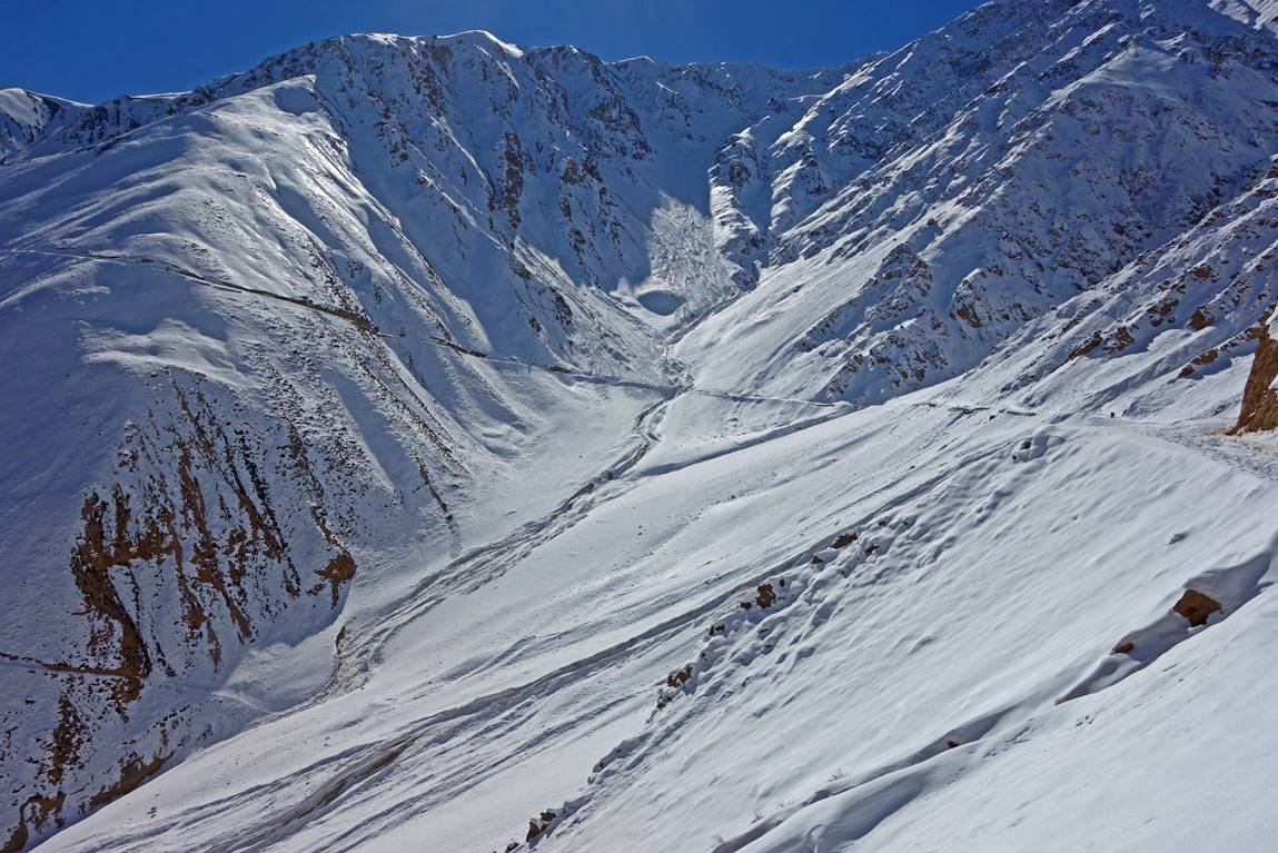
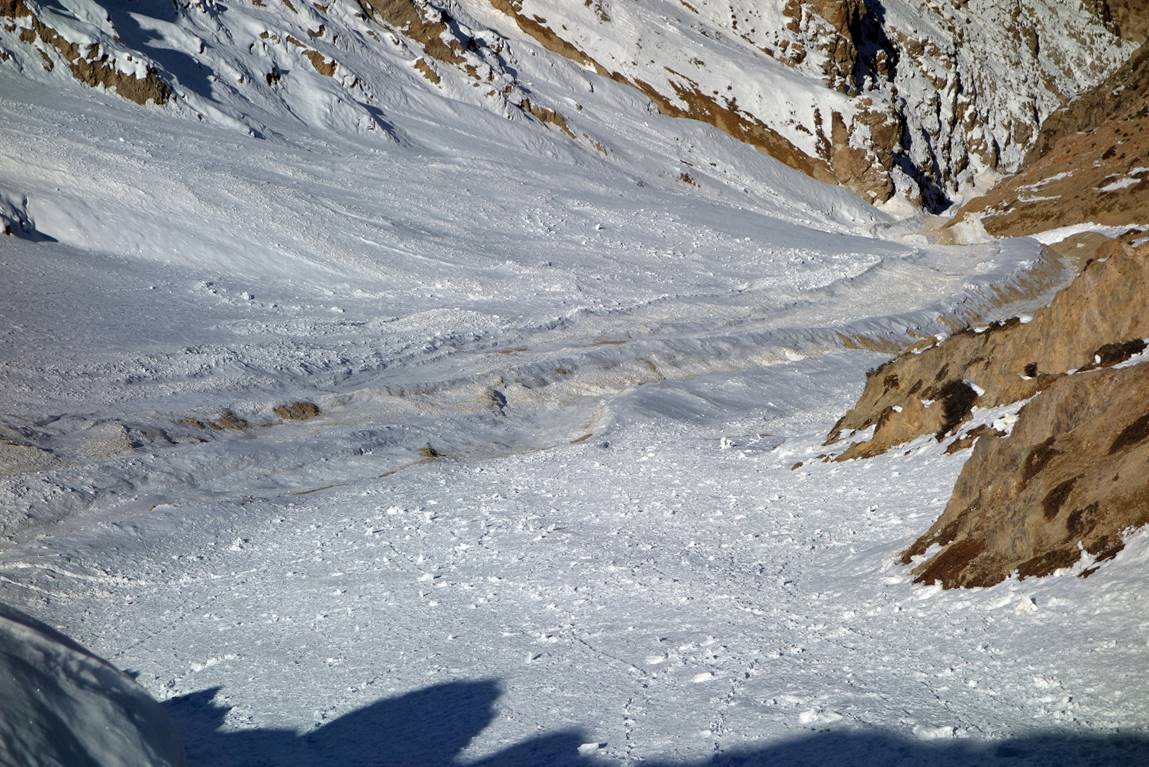
In fact, the yak tracks were interrupted in a few places by relatively minor snow slides from the previous afternoon. Our mules did not like them!
|
|
|
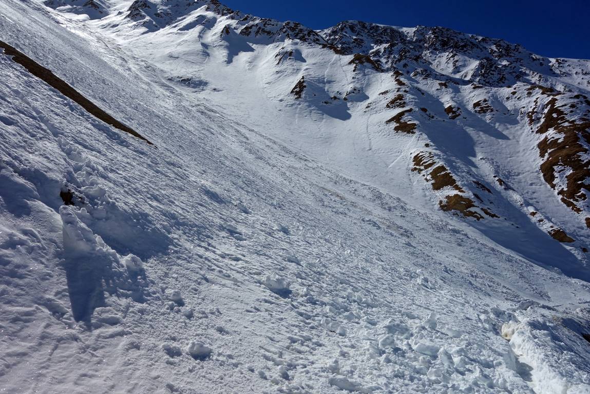
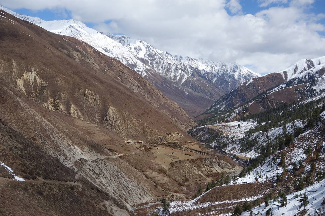
Getting close to the pass.
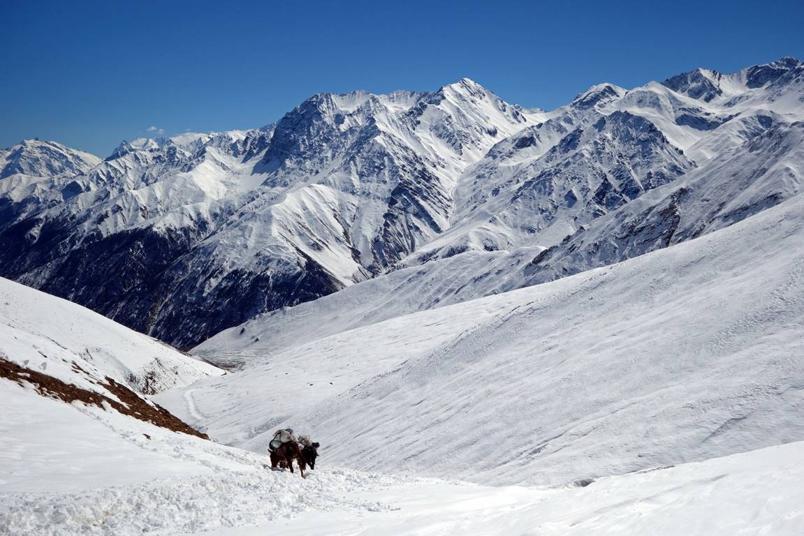
Beginning of the descent.
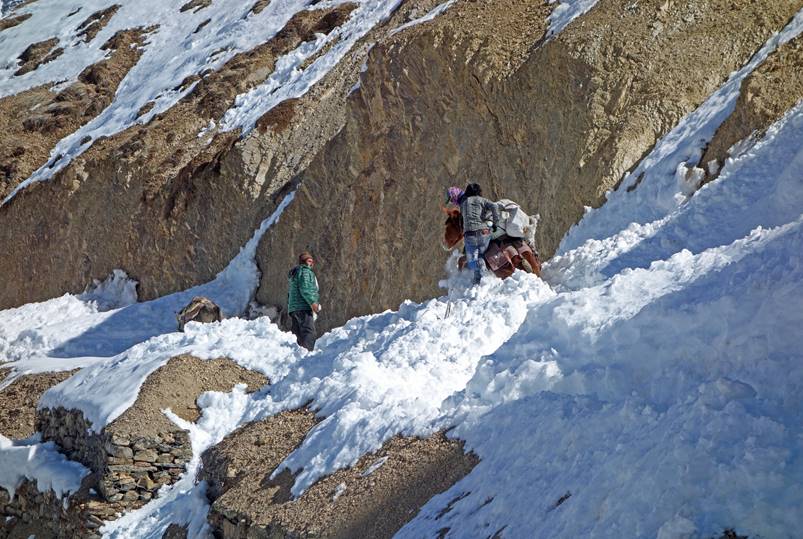
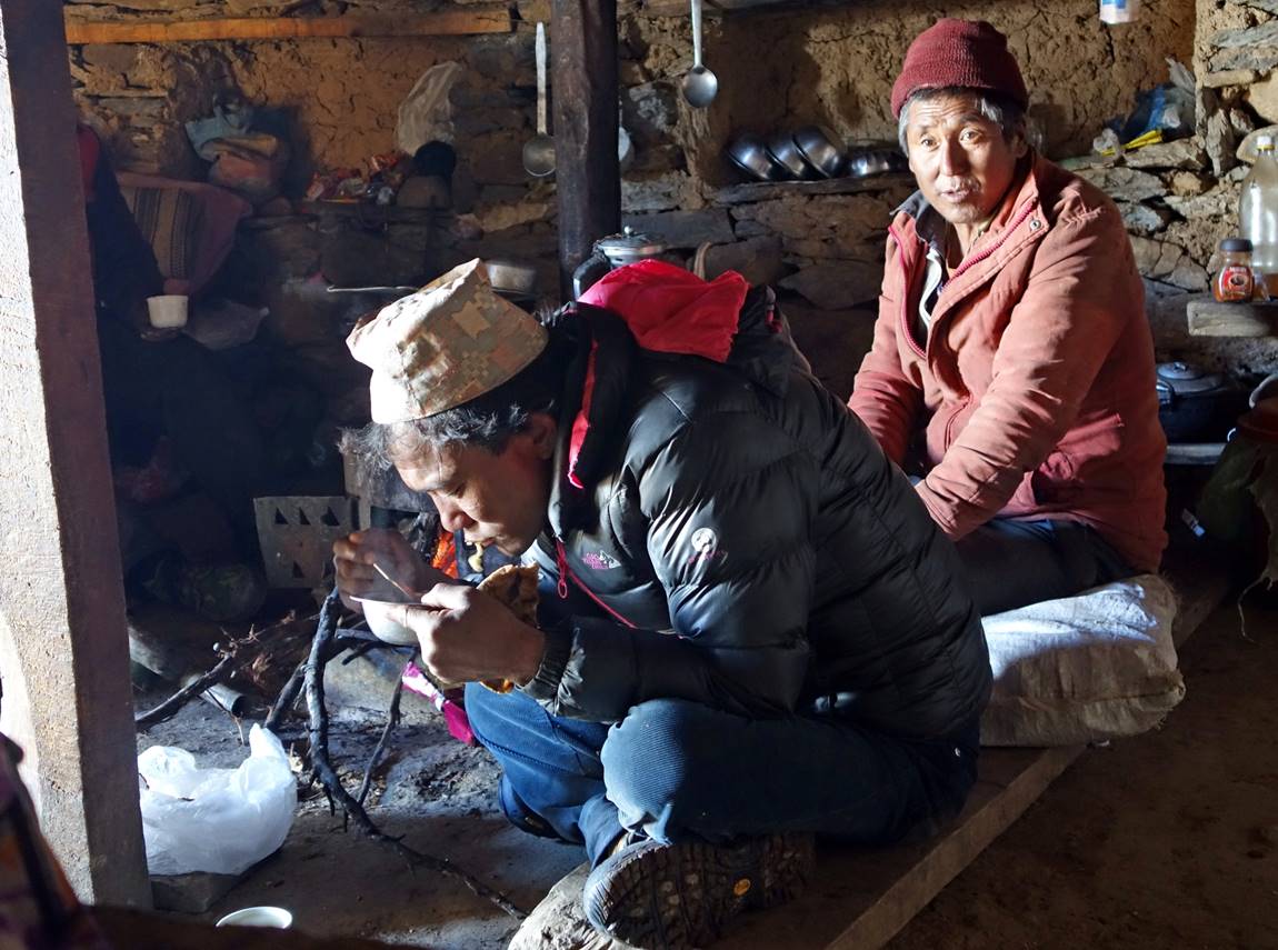
In a small tea house below the pass.
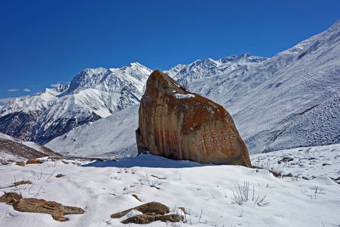
Interesting rock above Yari village.
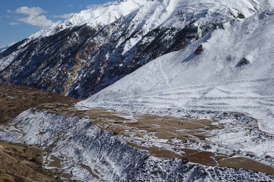
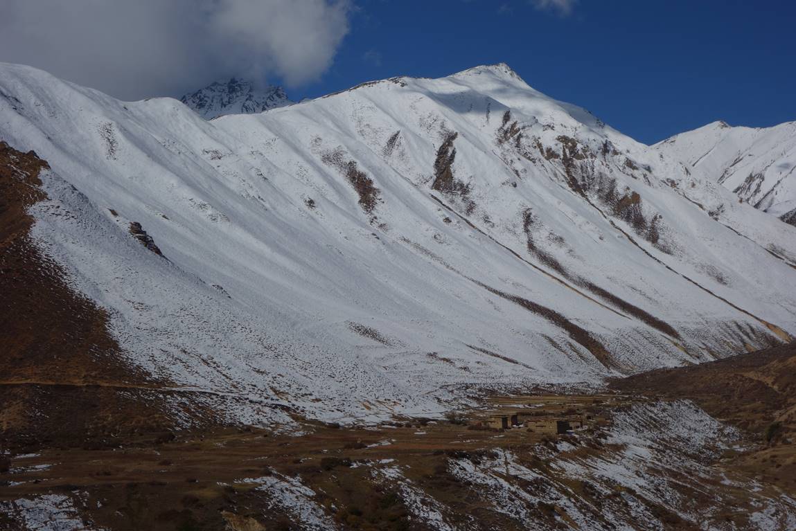
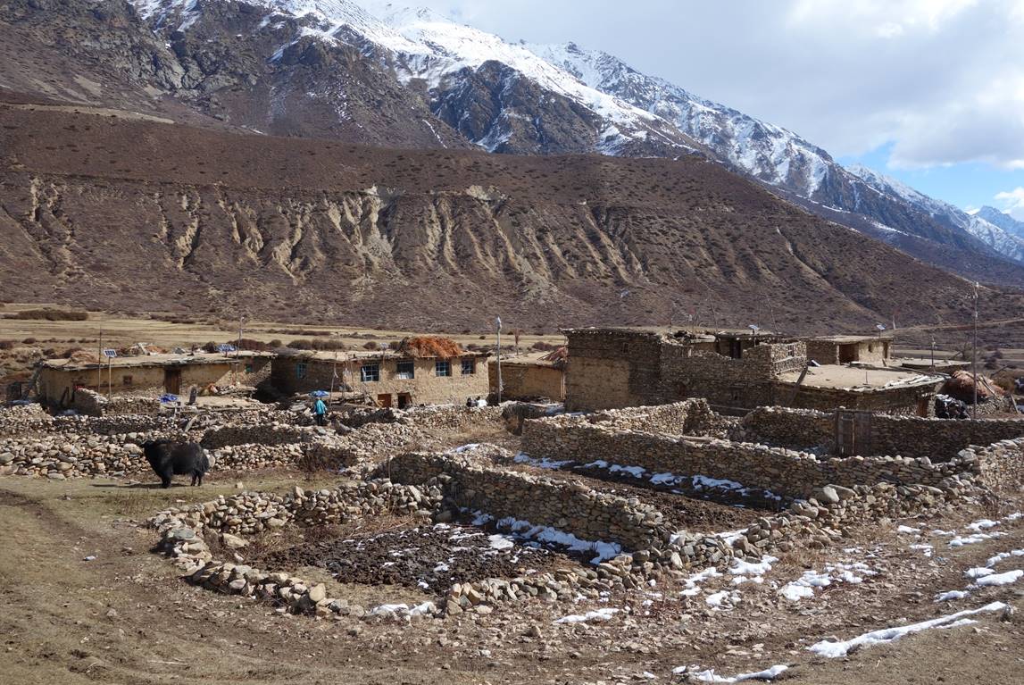
Three views of Yari village.
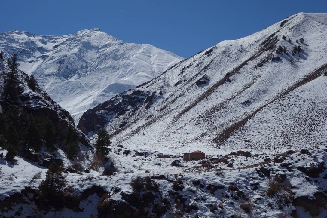
The side valley of Yari Khola leading to the Nim hamlet and Yansi Gompa. More trails beyond the gompa provide access to other parts of western Nepal.
Hamlet of Nim and one of its inhabitants.
|
|
|
Yansi Gompa is located in a cold place where two rivers merge. It lies in the shade a large fraction of the day. But maybe this is in purpose, since the god to which the gompa is dedicated is said to like very peaceful environments.
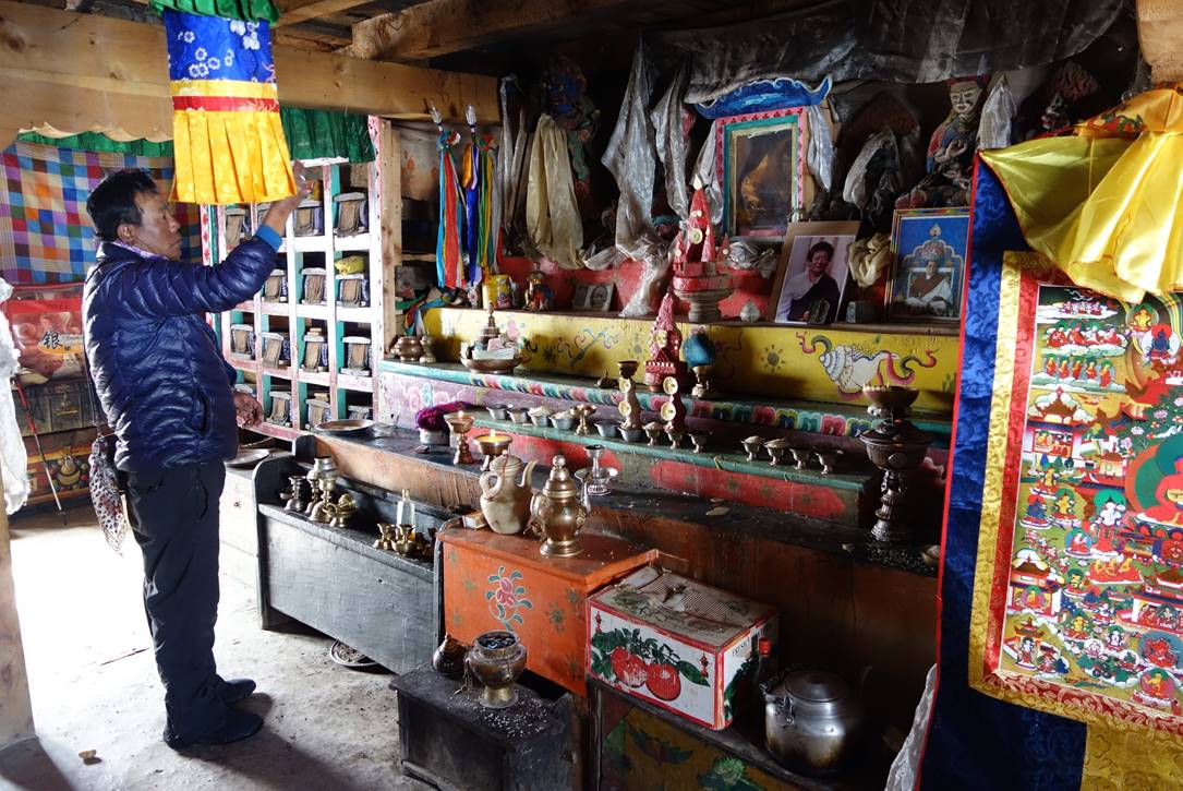
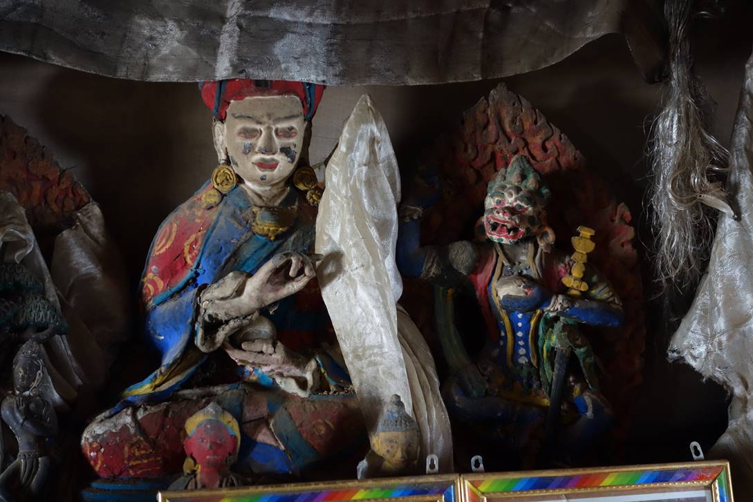
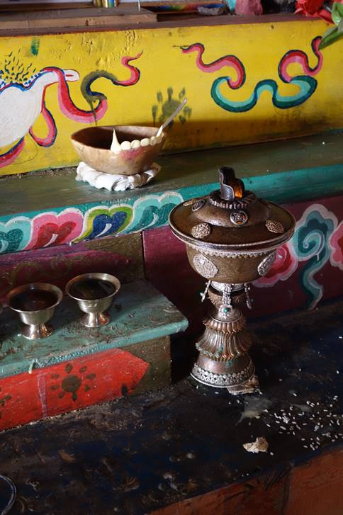
In the altar room of the gompa.
|
|
|
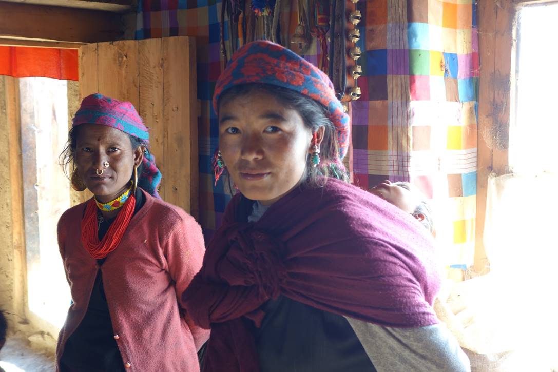
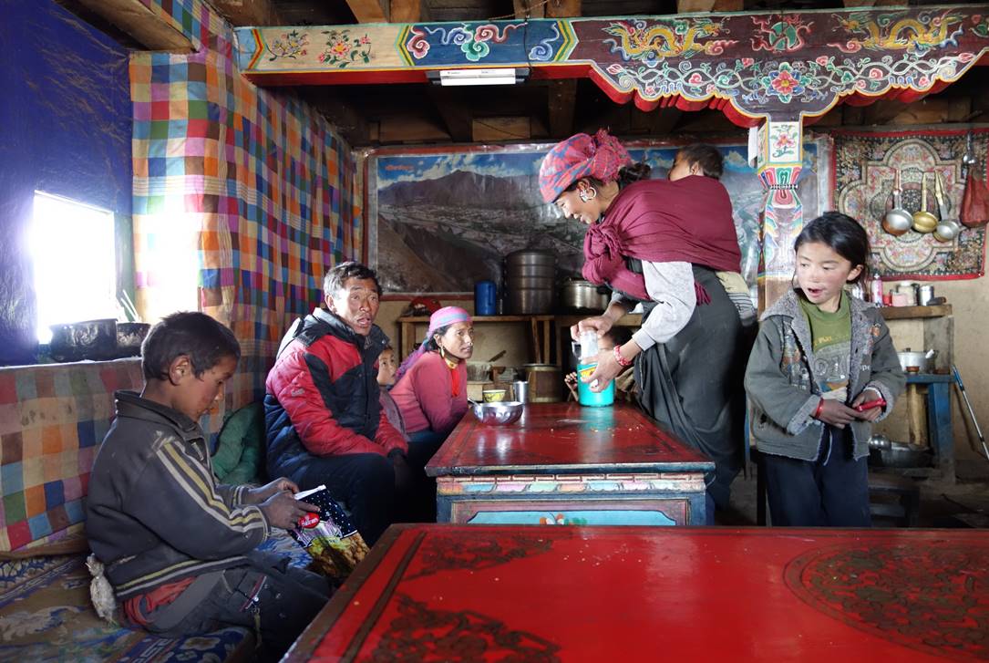
The monk in charge of the gompa was away attending a puja near Muchu. His wife (?) (center, photo below) opened the gompa for us and offered Tibetan tea and baked potatoes to us and a family living near the gompa (next photo).
After visiting the gompa we returned to our main itinerary at Yari village. Below Yari lower elevation and favorable orientation of the valley resulted in a very different kind of environment.
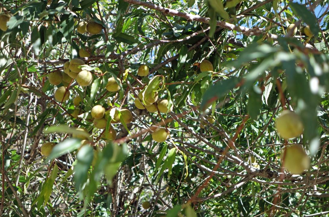
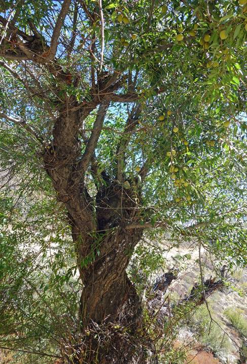
Wild peach trees.
|
|
|
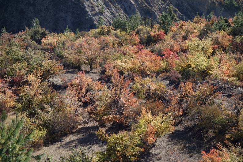
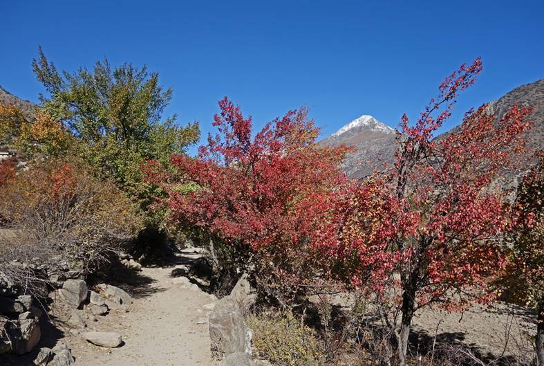
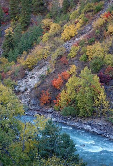
Beautiful autumn colors along the way.
|
|
|
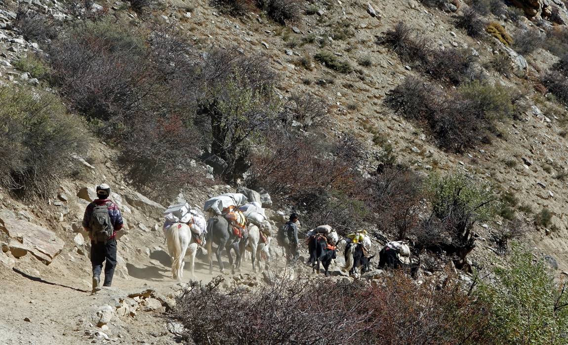
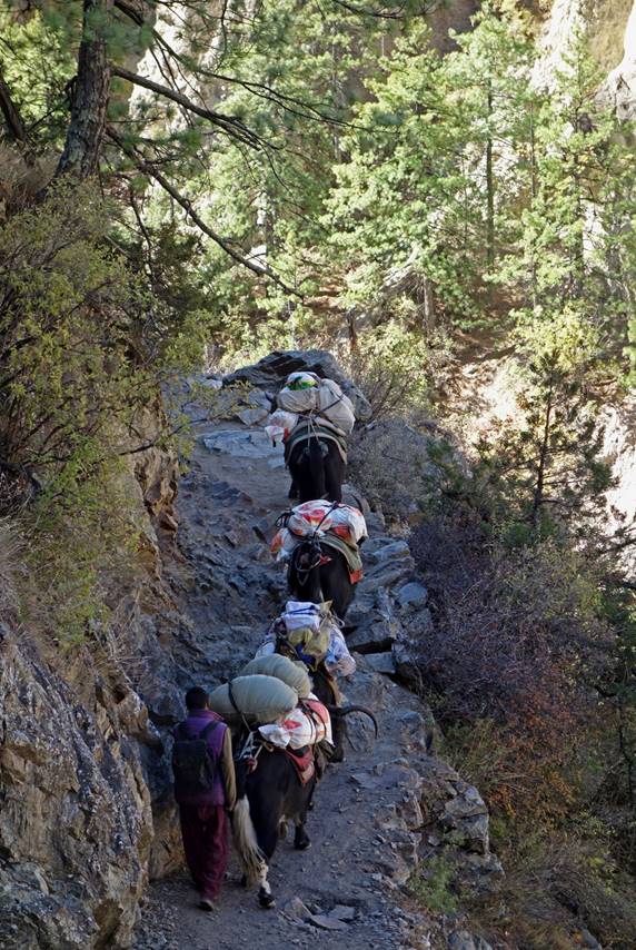
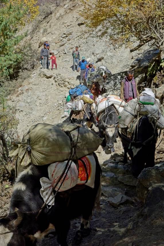
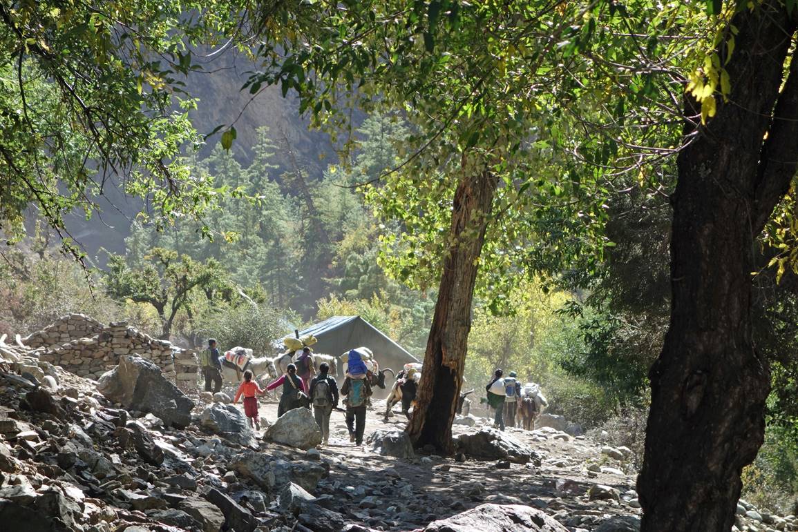
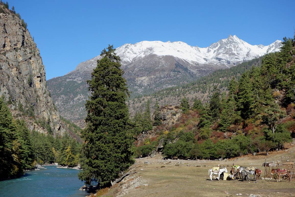
Heavy traffic on the trail.
|
|
|
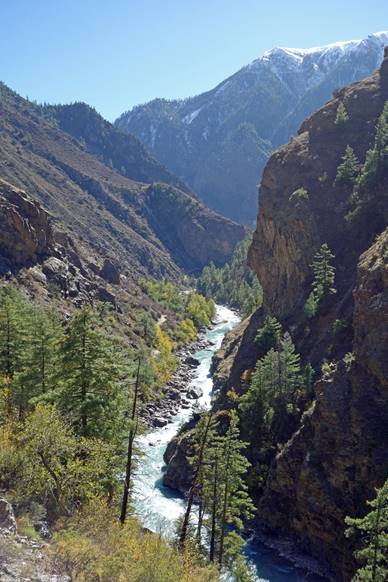
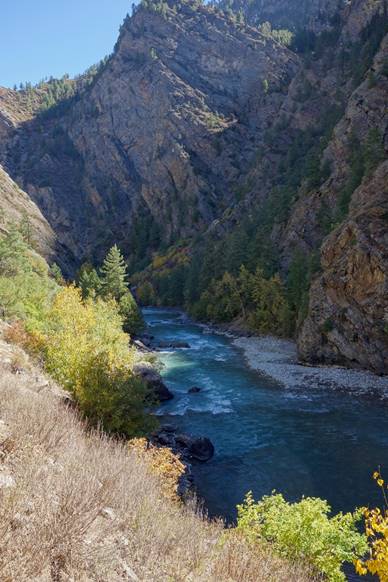
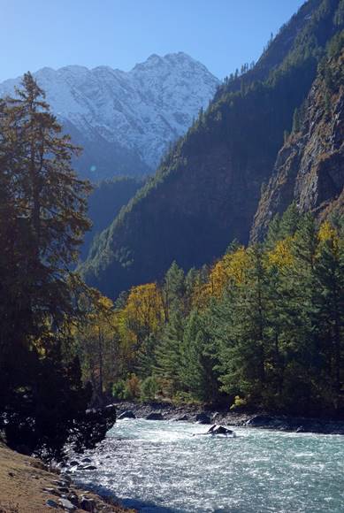
Views of the Humla Karnali river.
|
|
|
|
|
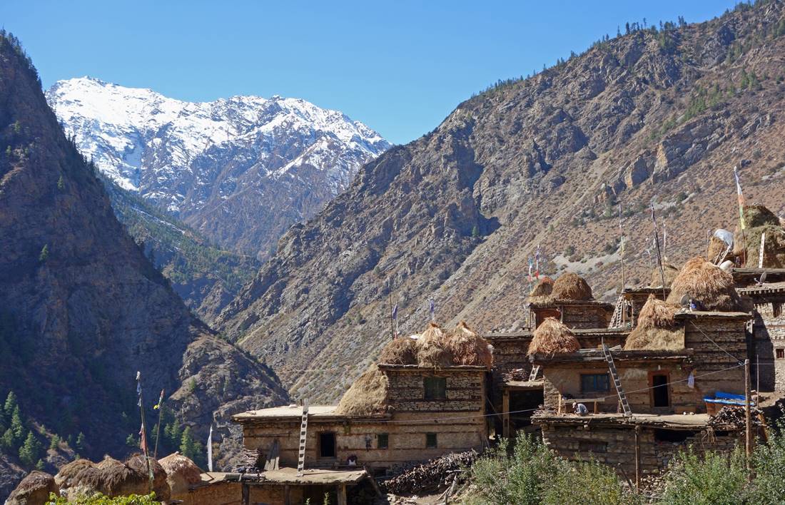
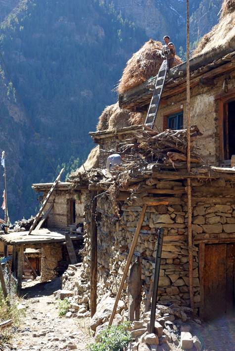
Village.
|
|
|
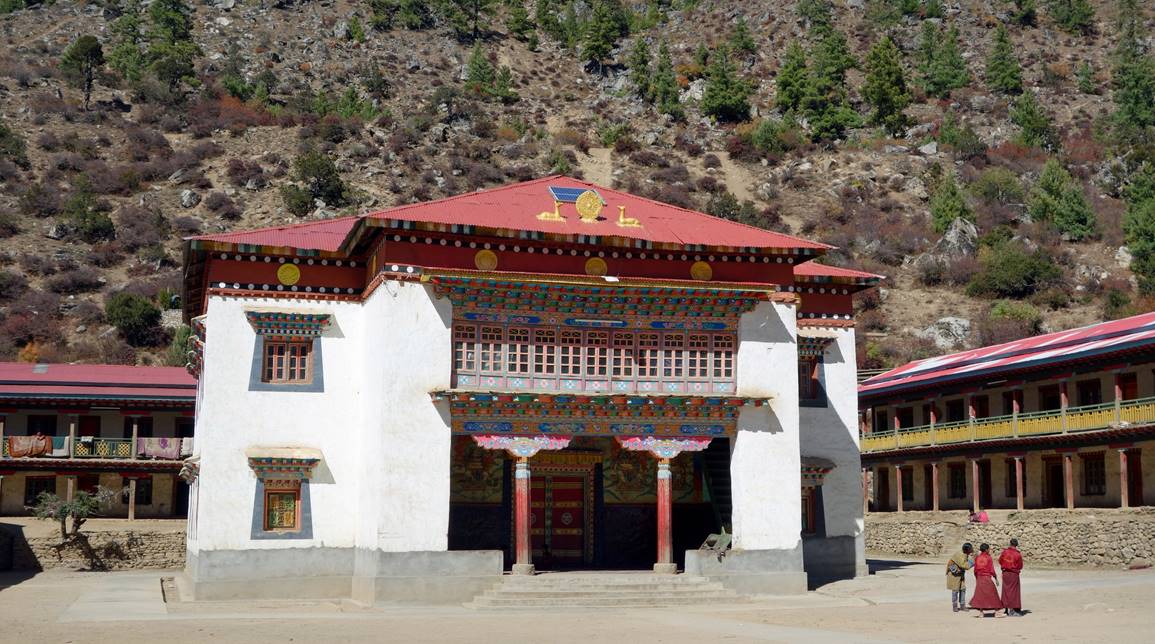
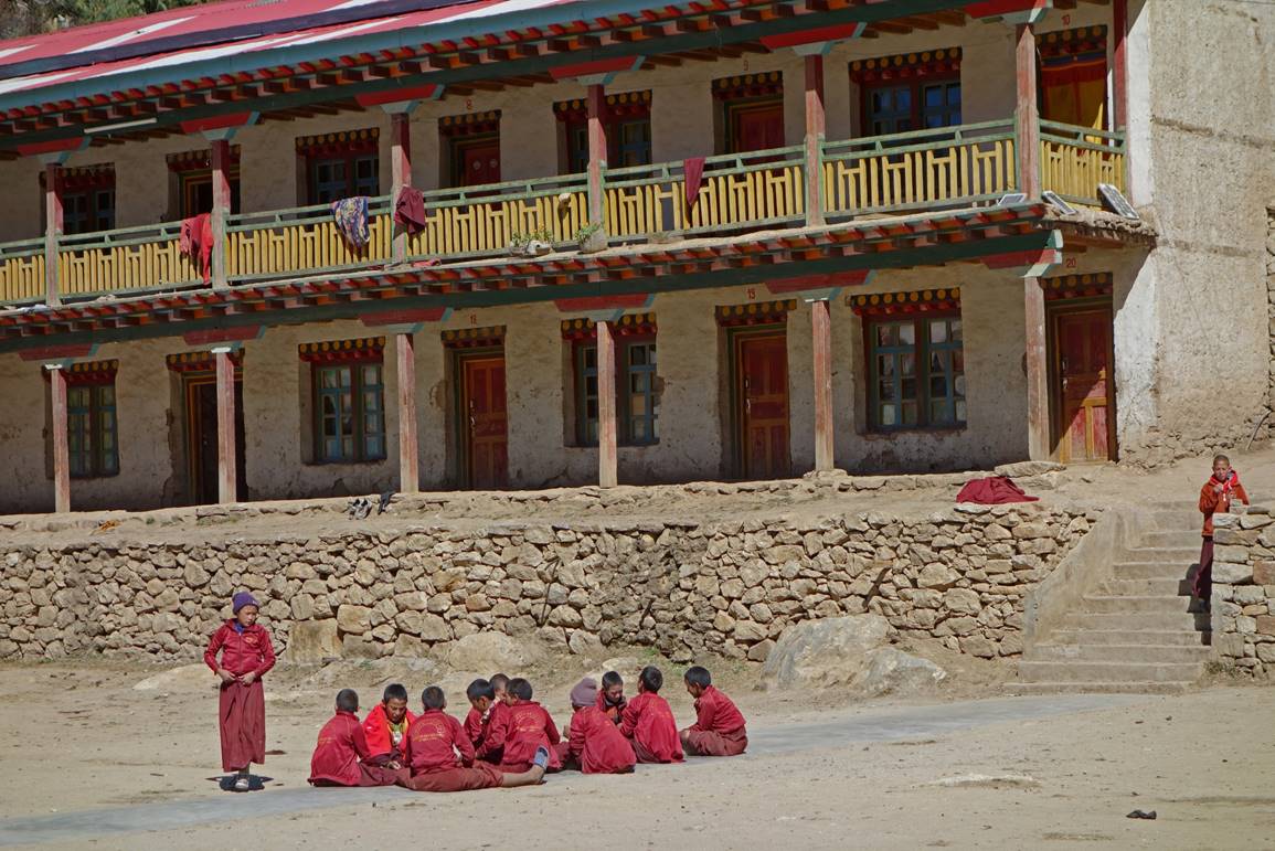
Gompa and Buddhist school in Yalbang.
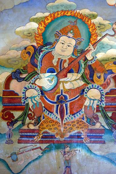
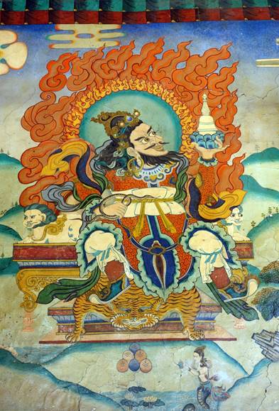
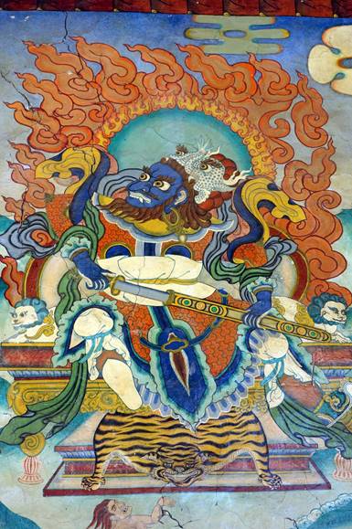
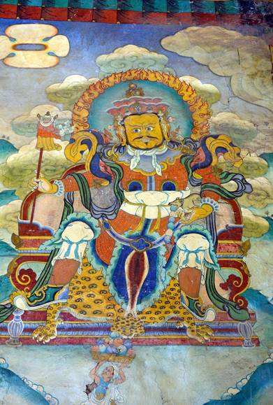
Paintings at the entrance of the gompa of Yalbang.
|
|
|
|
|
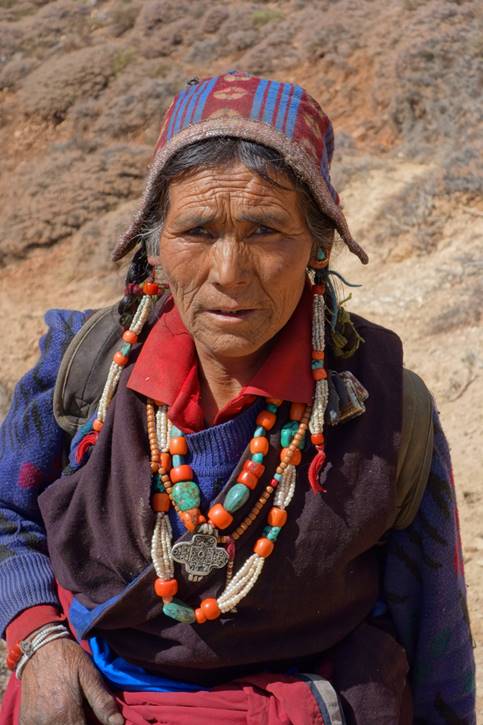
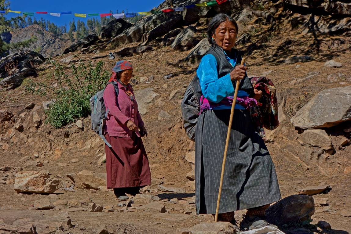
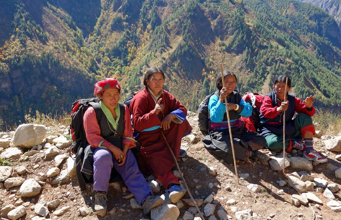
Tibetan women.
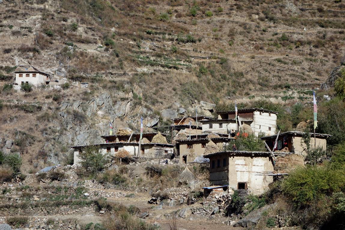
Kermi village.
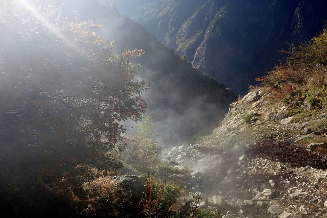
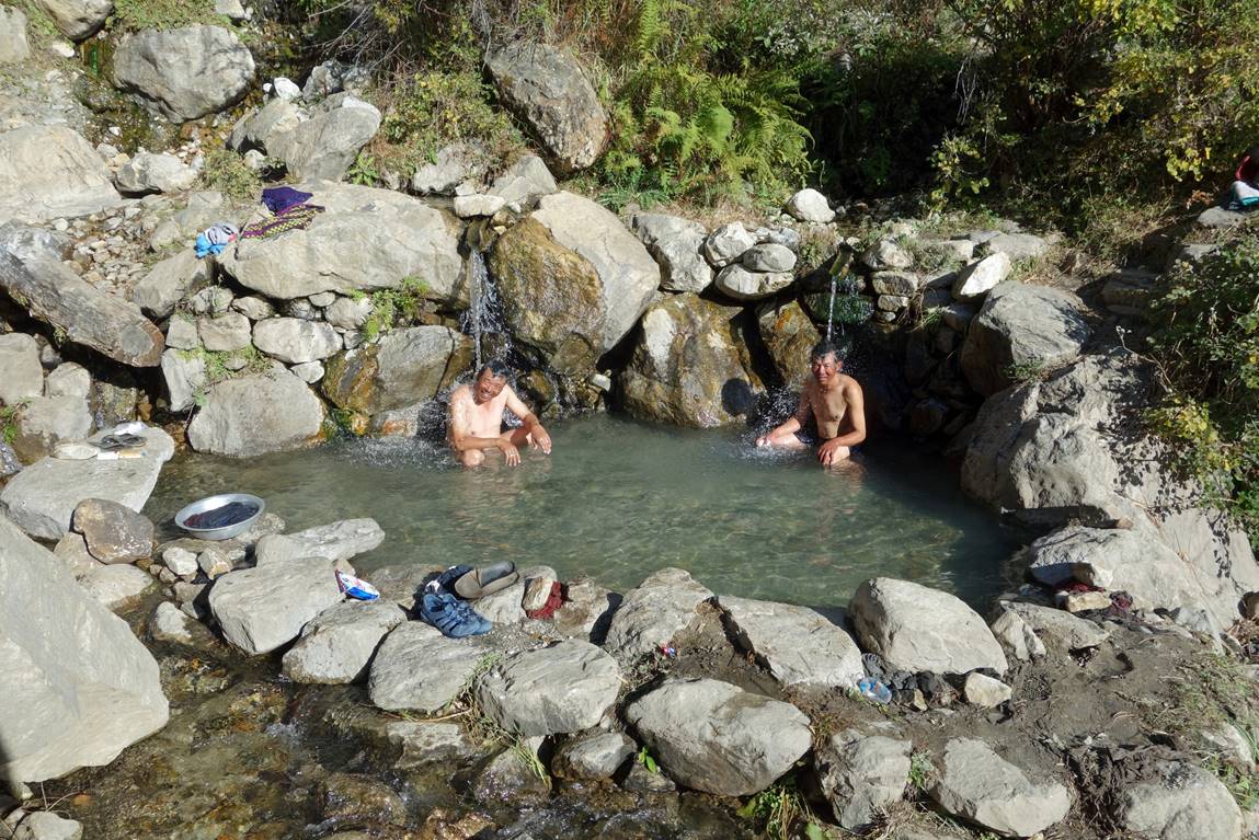
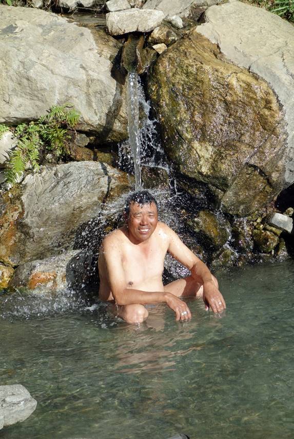
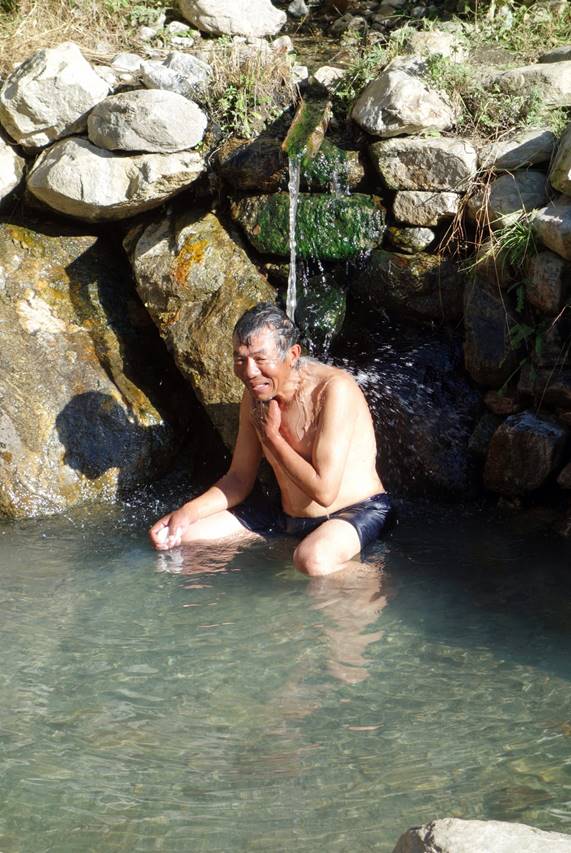
Hot spring above Kermi.
Dawa #1 and #2 enjoying a hot bath in a nicely arranged pool.
|
|
|
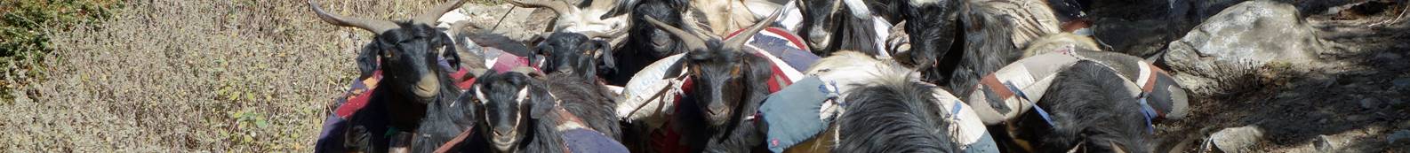
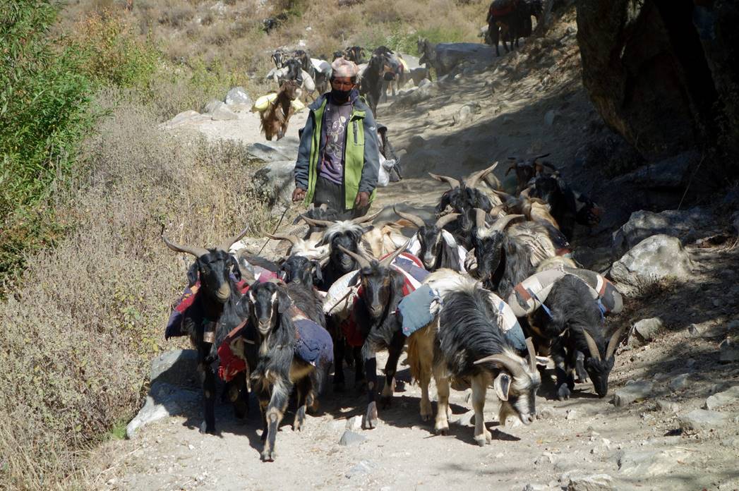
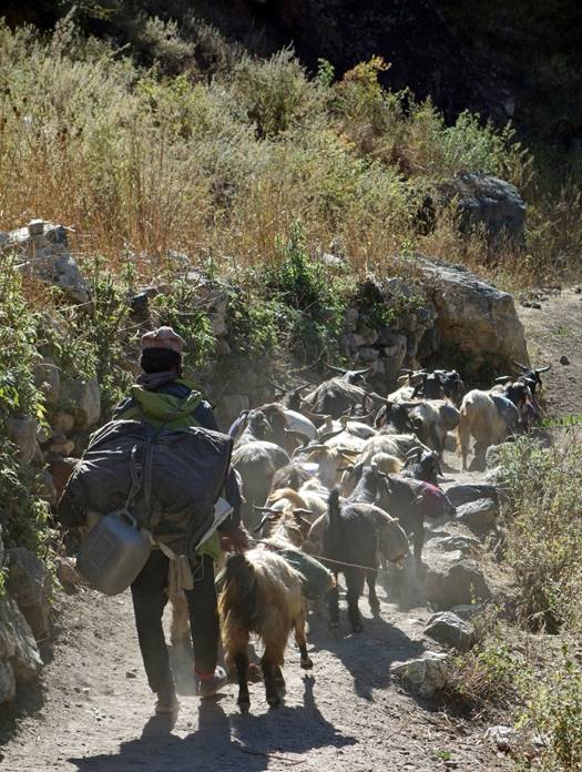
Goats carrying loads.
|
|
|
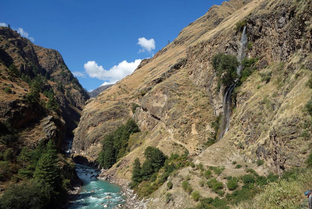
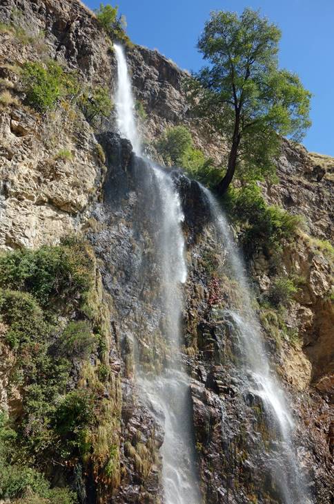
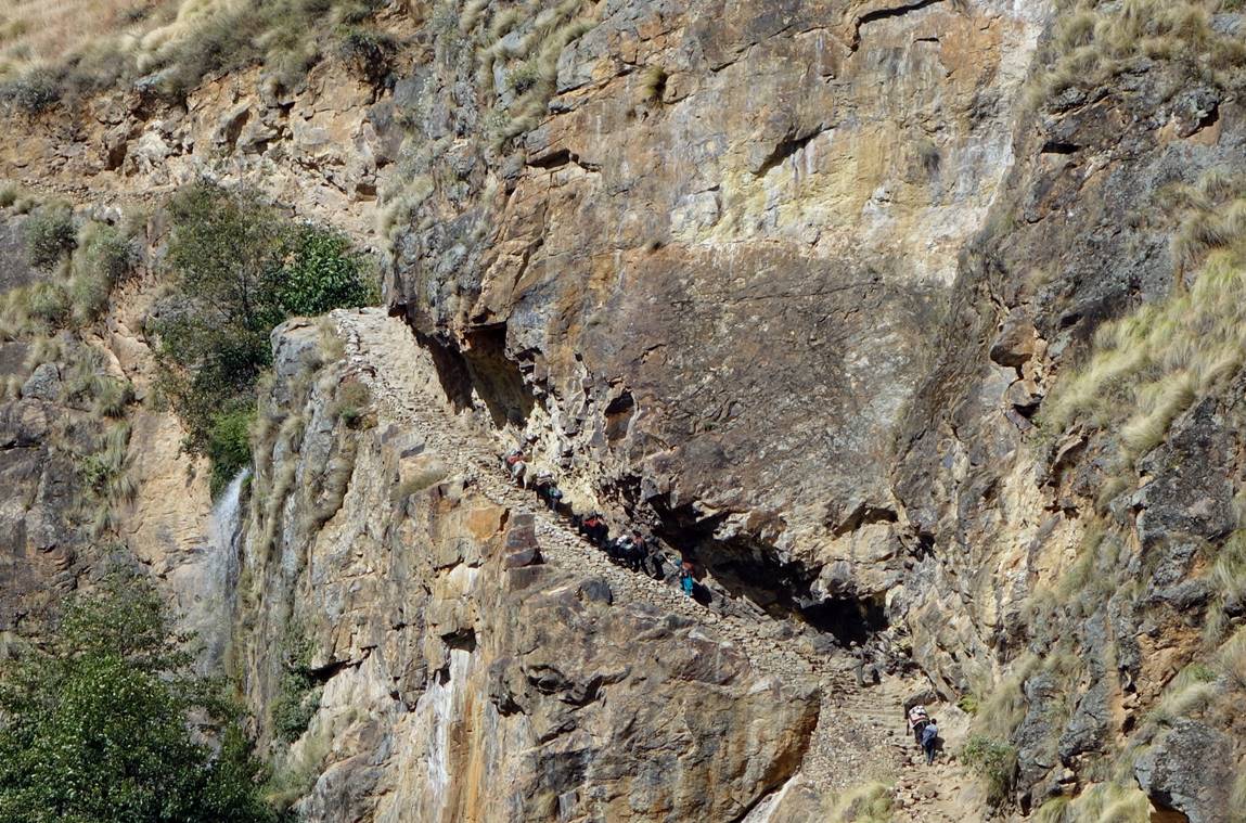
Spectacular trail and waterfall.
|
|
|
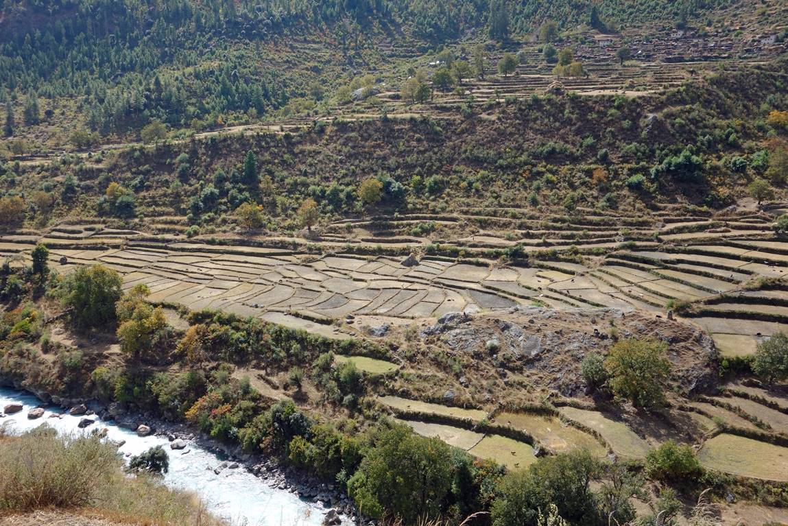
Rice fields facing the village of Dharapor. At 2360m this was the lowest point on the entire trek and the only place where we saw rice fields. At this elevation only one harvest is possible (at the end of the monsoon season), against three in the low-elevation Terai. Nevertheless, the special taste of mountain rice (also cultivated in the Dolpo region) is greatly appreciated.
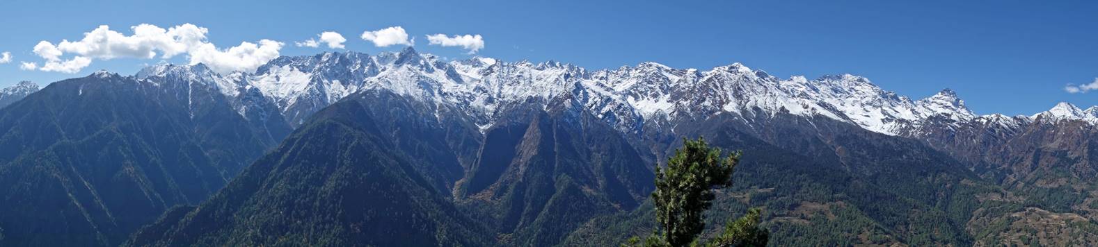
Mountain skyline on the southern side of the Humla Karnali river.
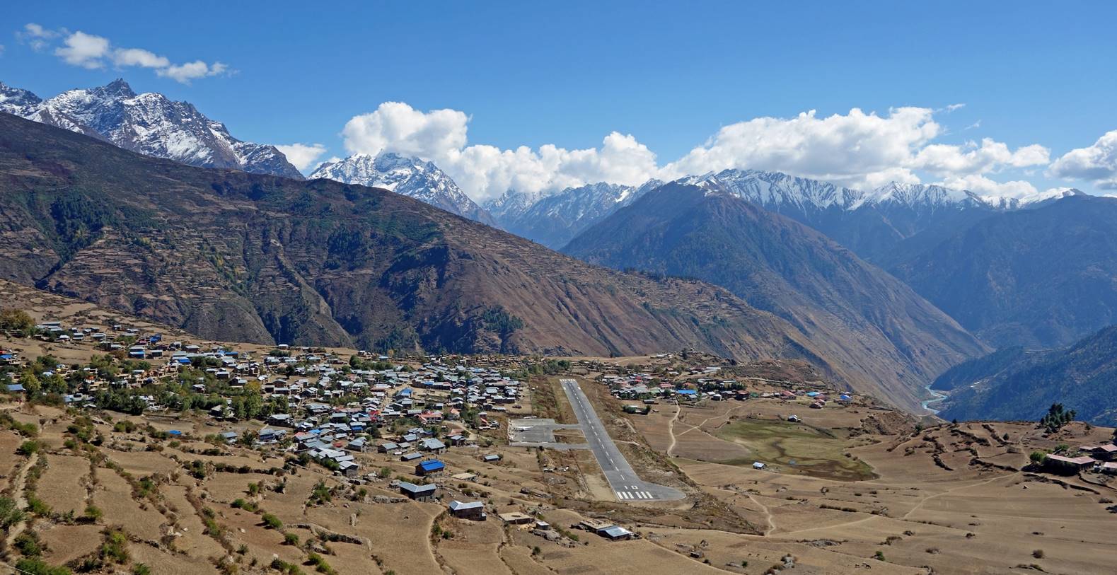
Arriving at Simikot.