Nepal (October 2017): Simikot to Kolti via Mount Saipal
4. Crossing Sakya Lagna to Ranikharka
![]()
Return to main Nepal 2017 webpage
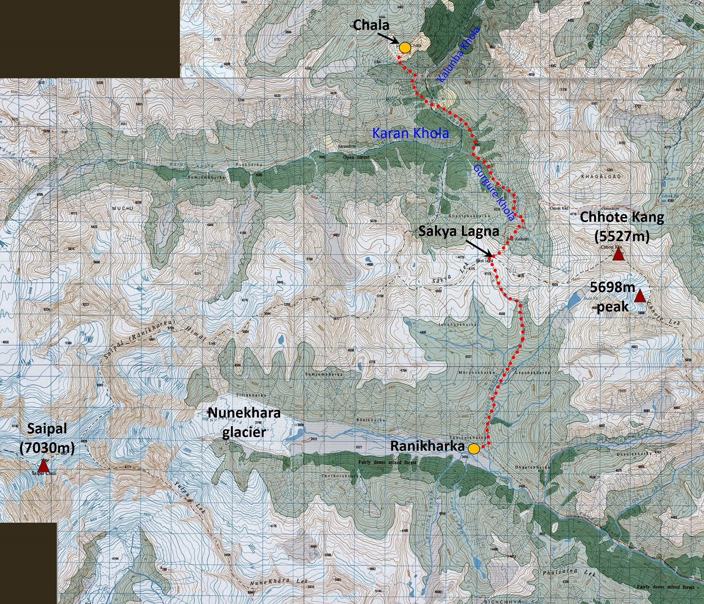
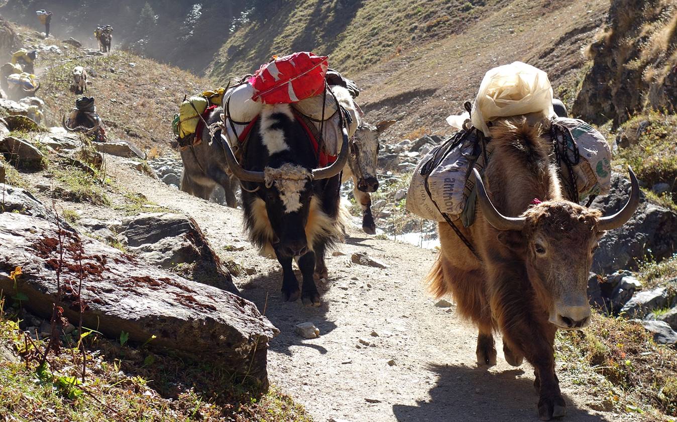
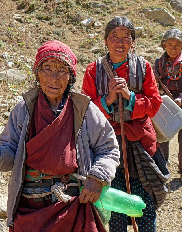
Our next goal was to visit the eastern side of Mount Saipal, a valley called Ranikharka by local people. To reach Ranikharka we crossed Sakya Lagna (4709m pass), the highest point of the entire trek. Along the way we met the people of Chala who were returning home with their animals after having spent the monsoon months in Ranikharka.
Map: The itinerary of this section of the trek is shown in red dotted line in the topographic map below. Consecutive blue vertical and horizontal lines are spaced by 1km.
(Reminder: These 50K topographic maps are available in their entirety at https://jemecasseausoleil.blogspot.fr/2017/07/cartes-du-nepal.html.)
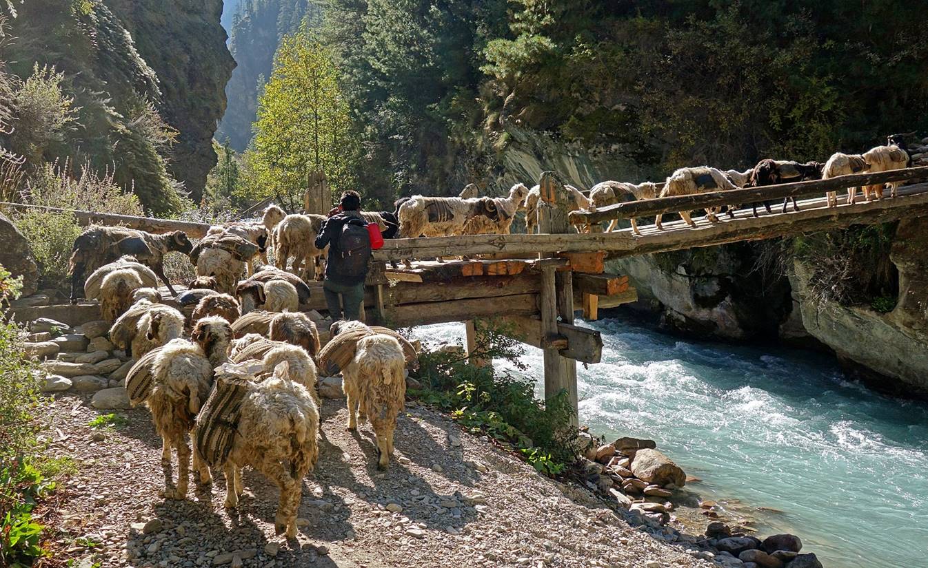
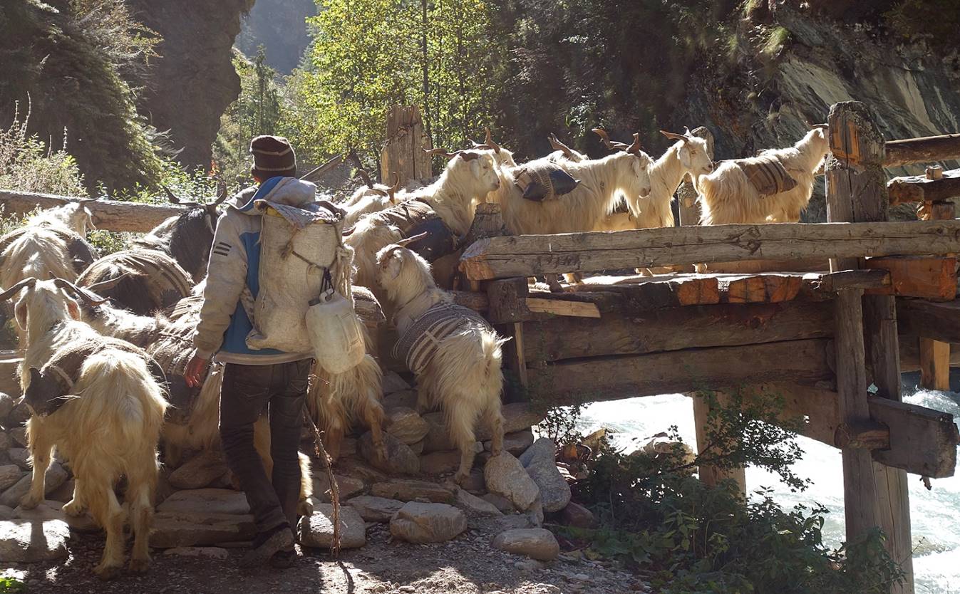
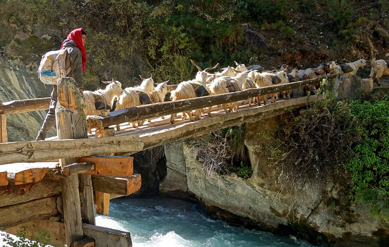
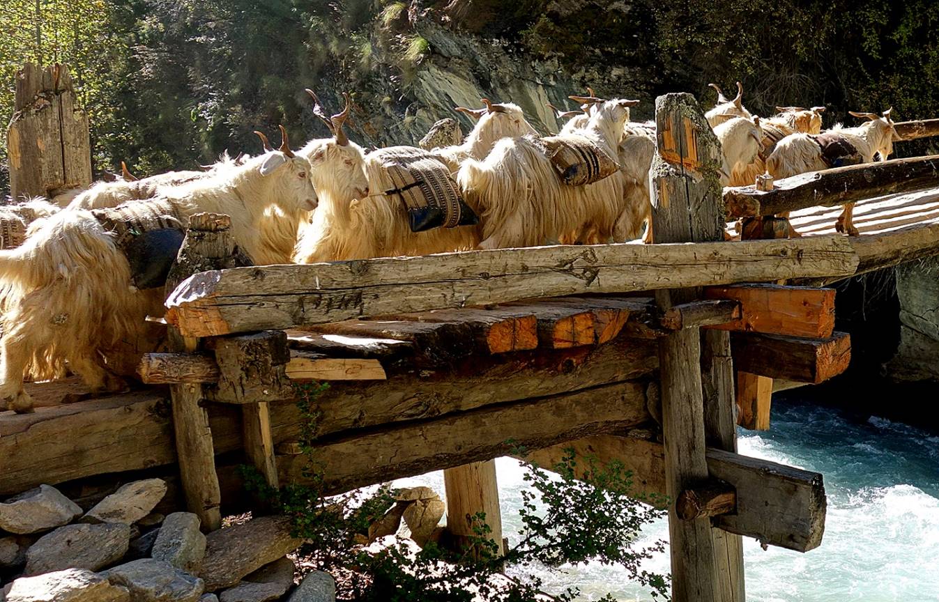
After returning to Chala from the Karan Khola valley, we followed a trail down to Kalunba Khola and crossed the river. At the bridge we encounter a caravan of approximately 300 goats and sheep carrying bags of salt and/or grain. The caravan was organized into smaller successive groups. As each animal can carry 15 to 20kg, about half a ton of merchandise was on the move!
|
|
|
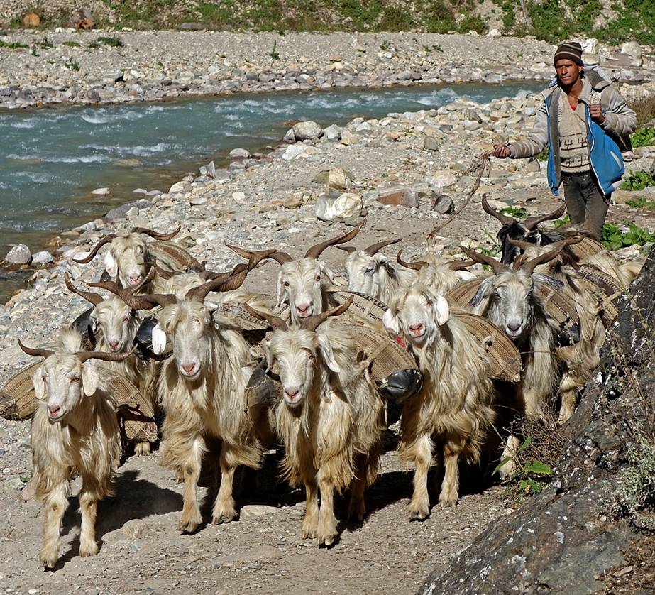
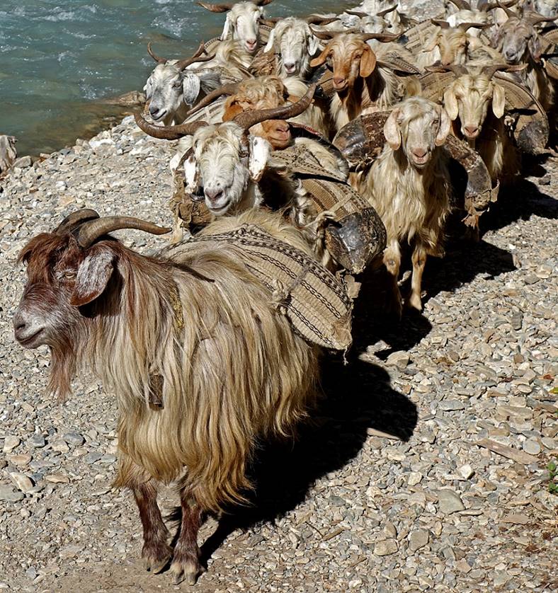
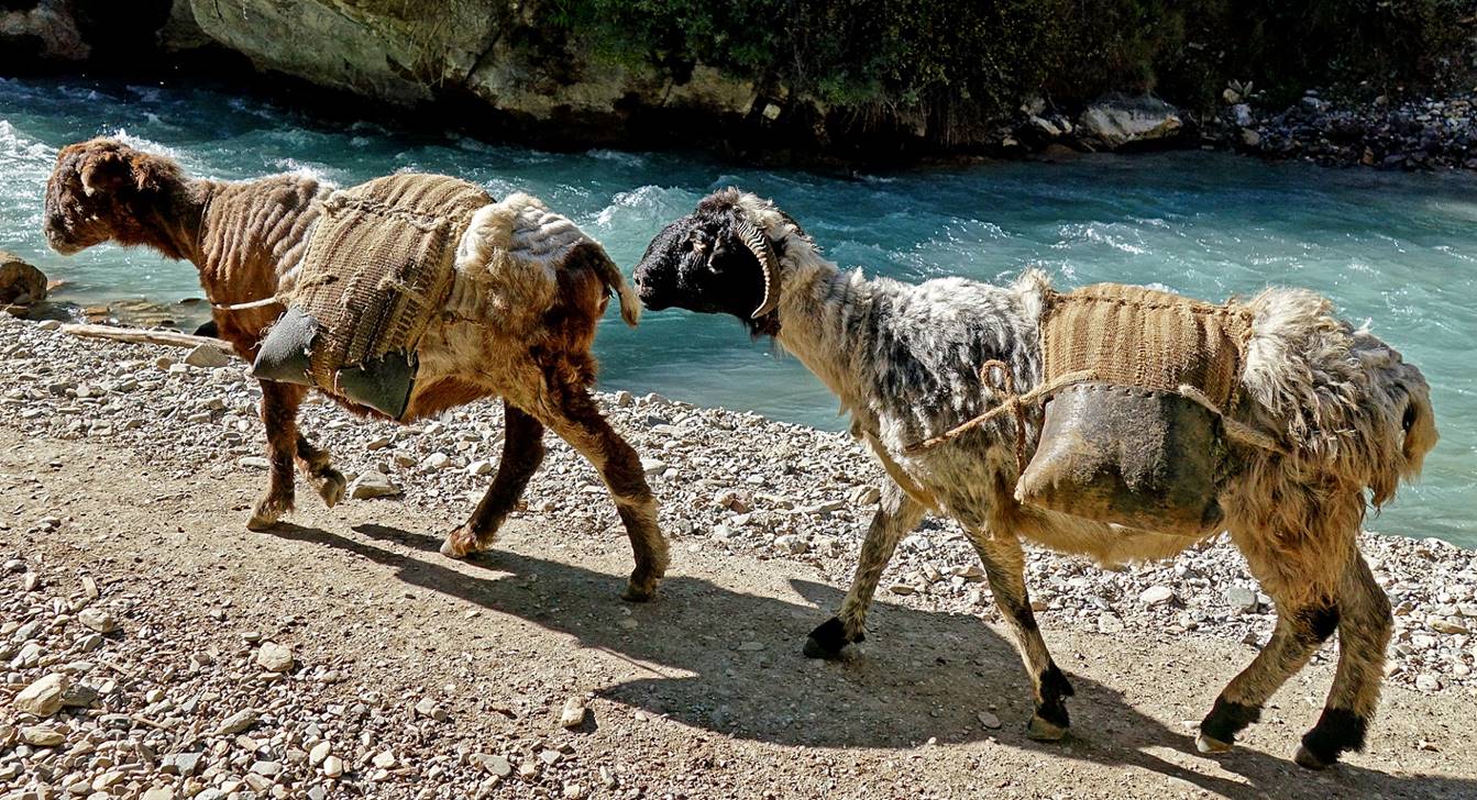
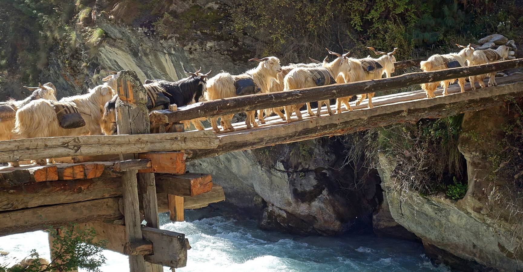
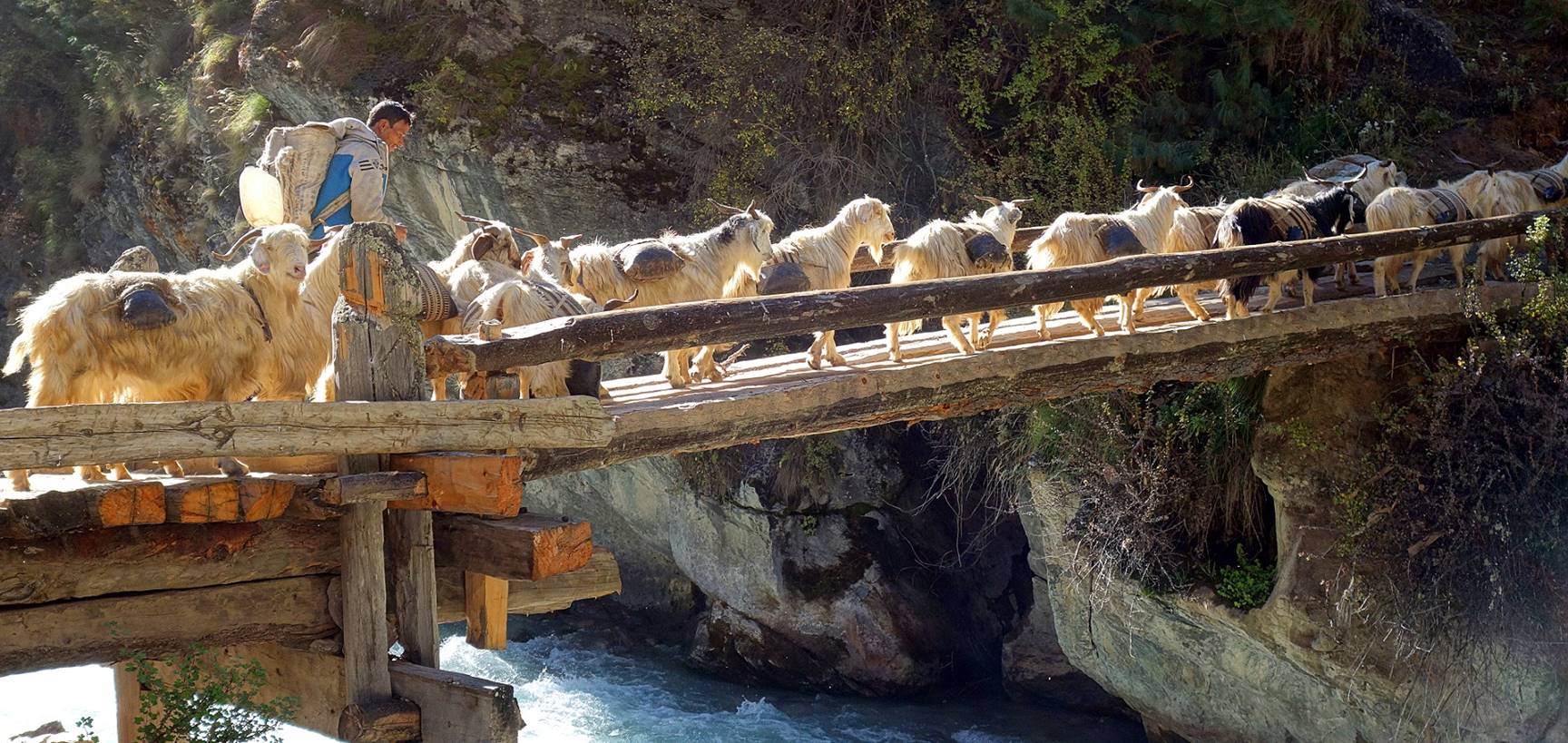
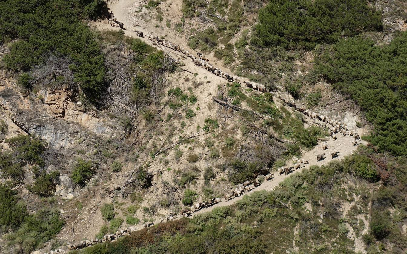
A portion of the caravan climbing toward Chala on the left side of the river. It almost looked like an ant colony.
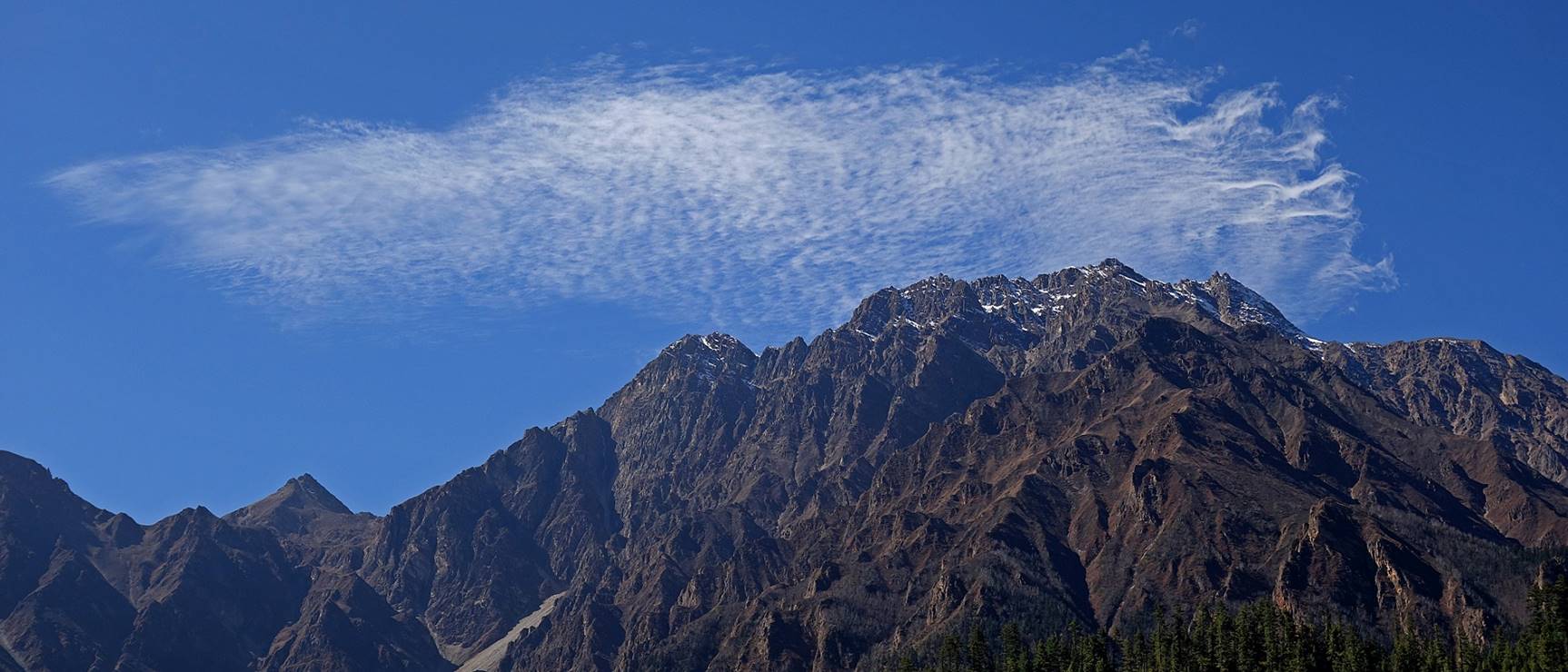
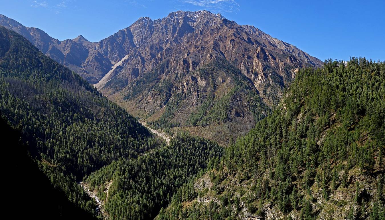
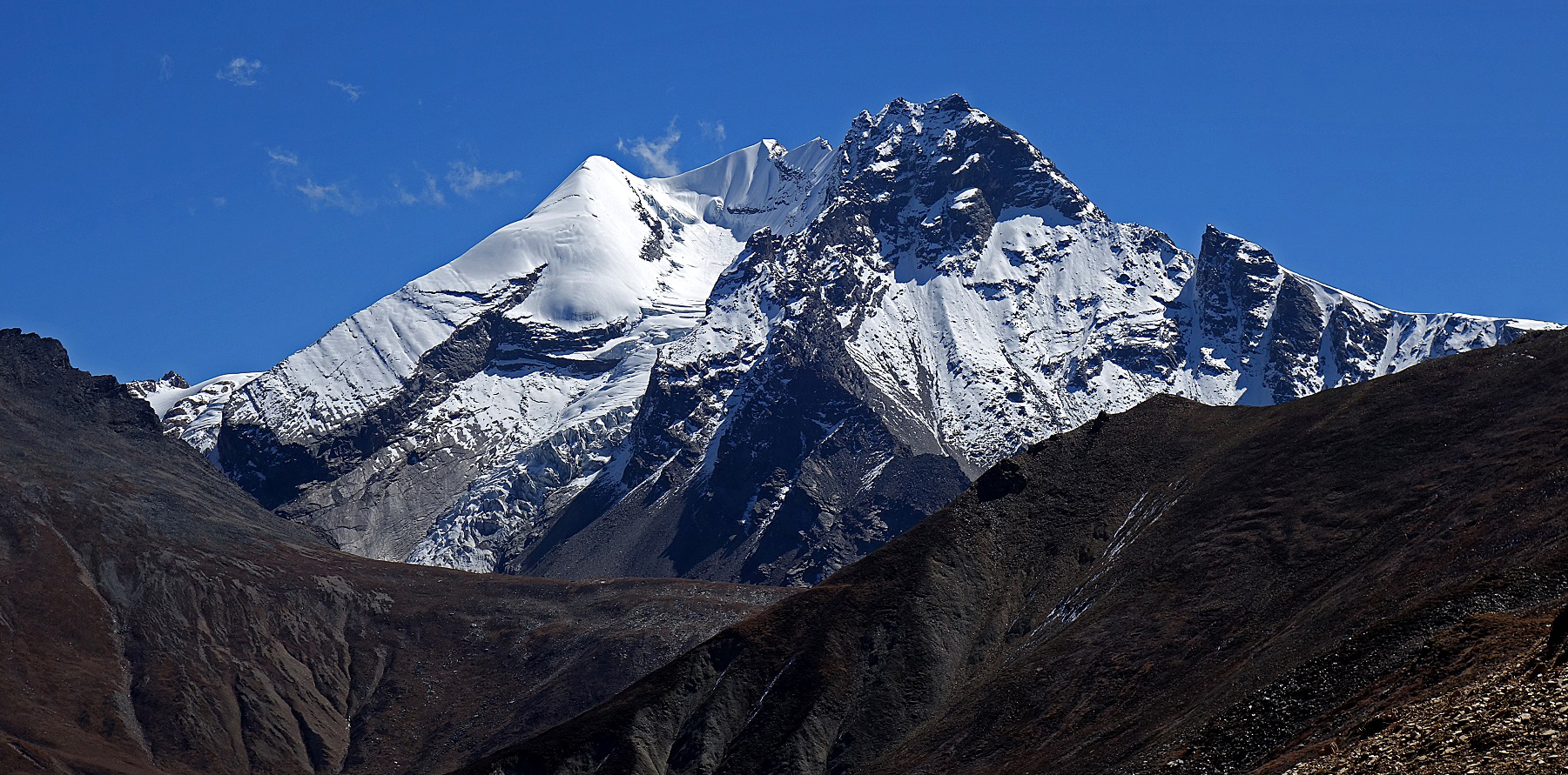
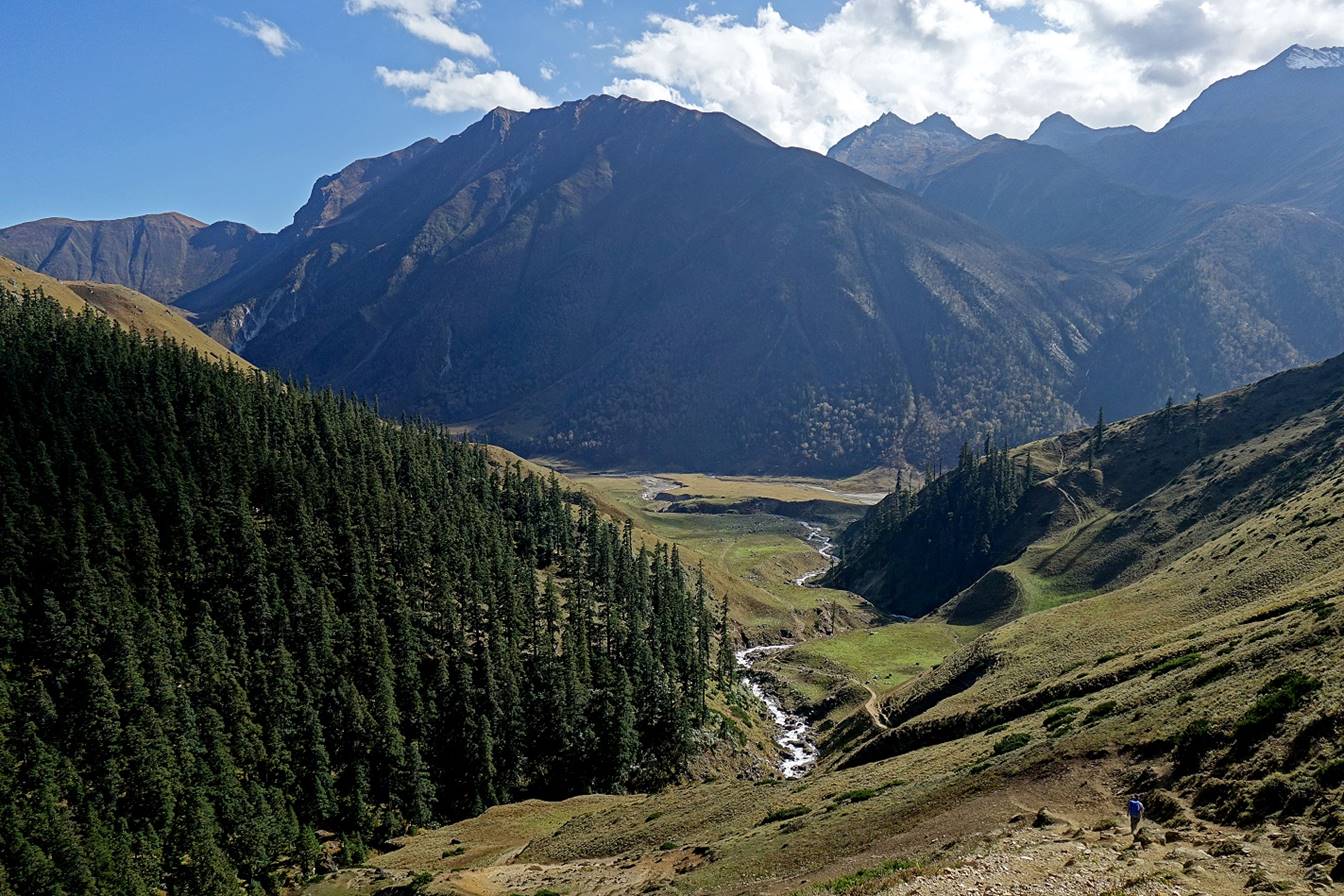
Mountain at the eastern end of the Saipal Himal range.
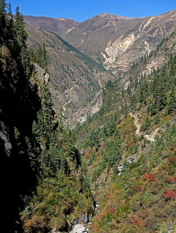
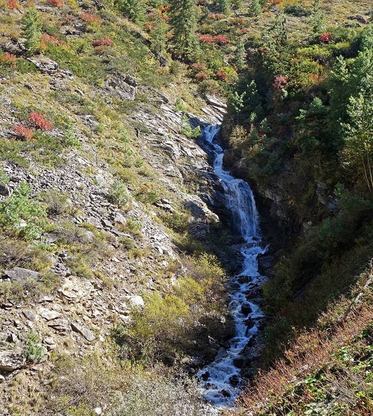
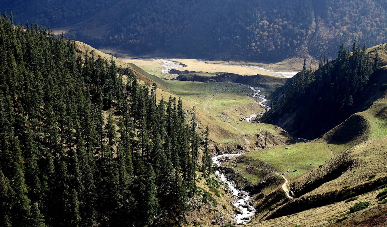
Left: Looking back toward Chala. Right: Waterfall and fall colors.
|
|
|
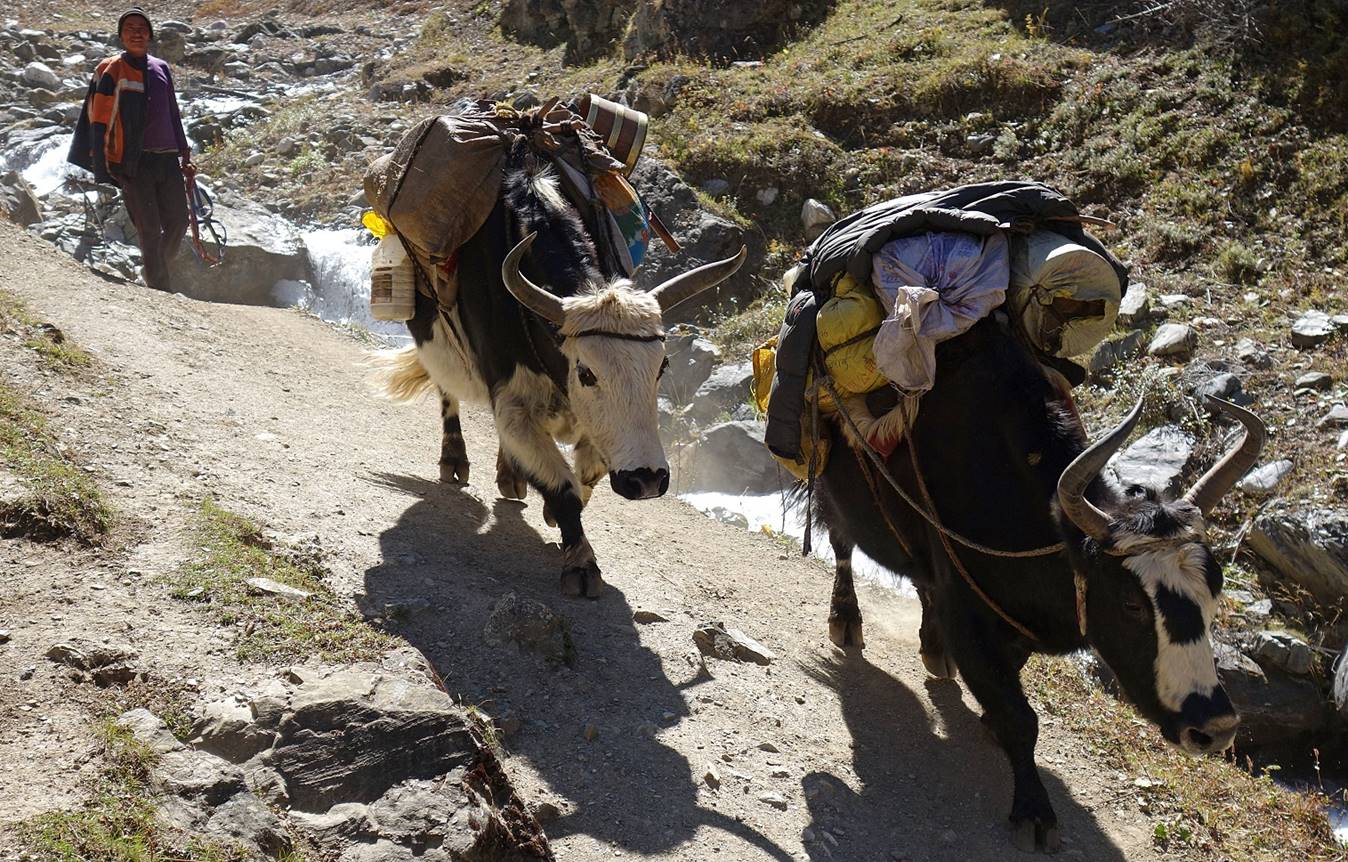
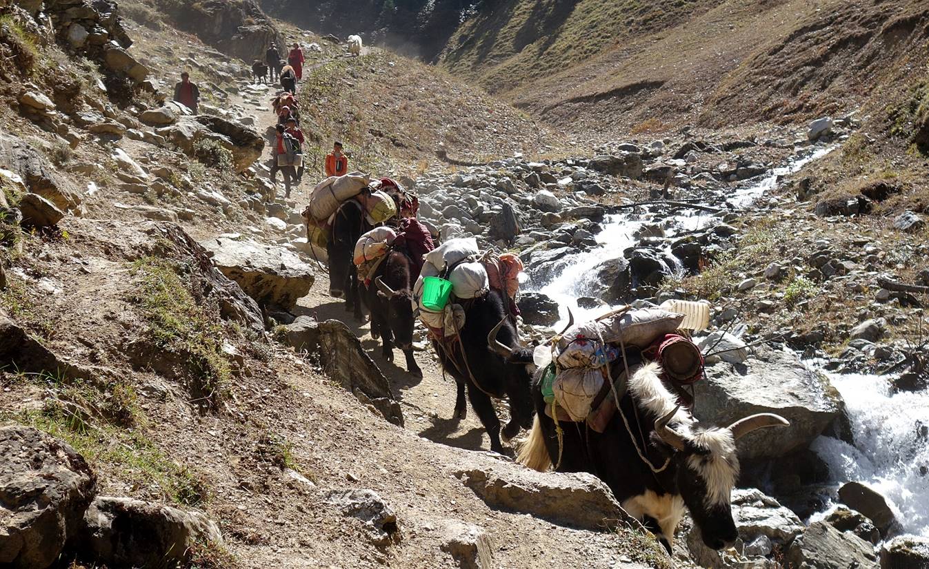
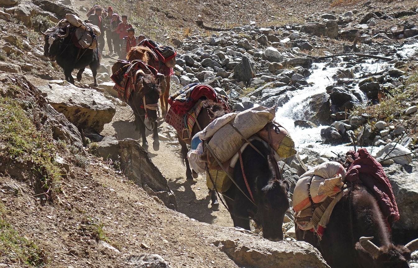
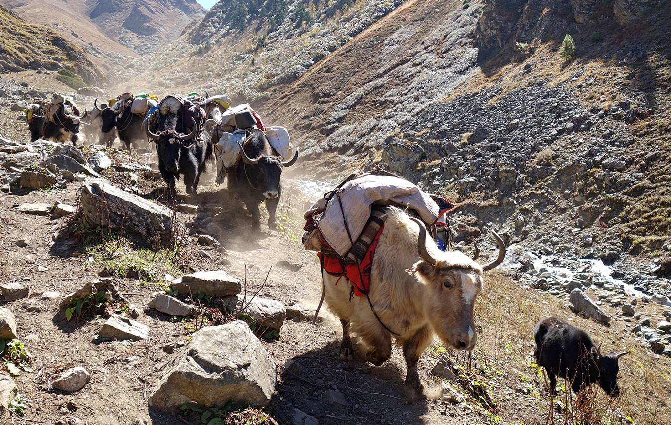
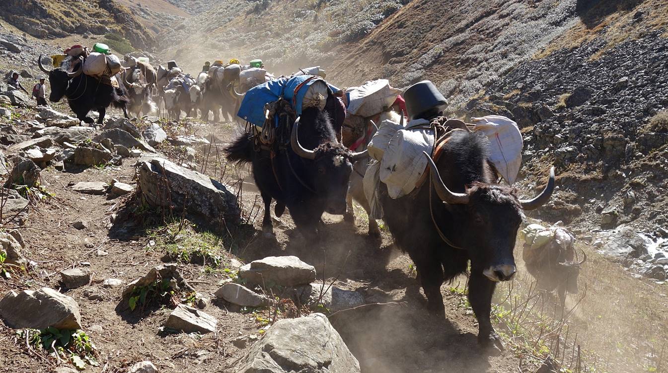
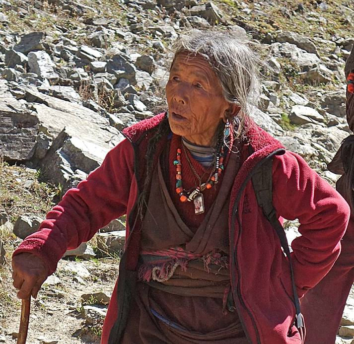
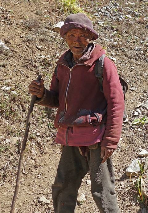
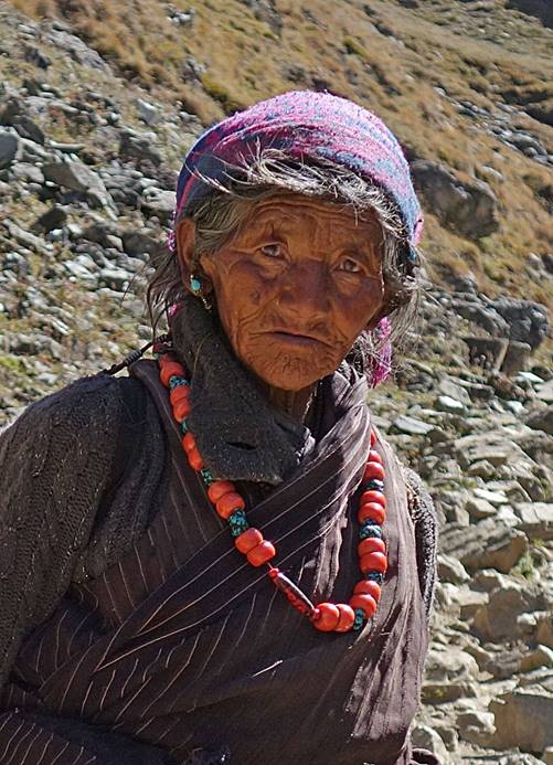
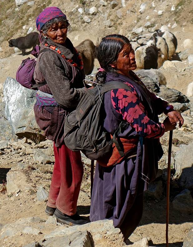
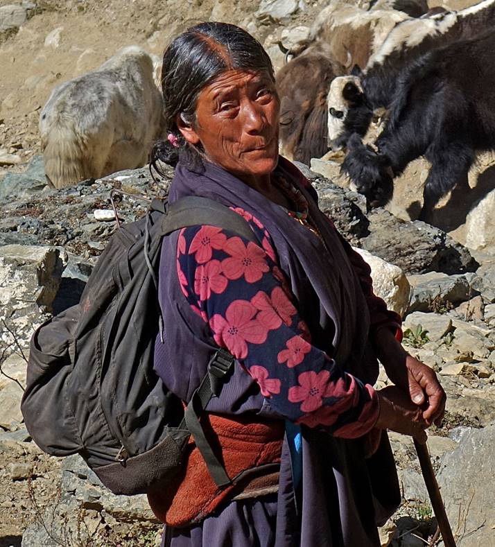
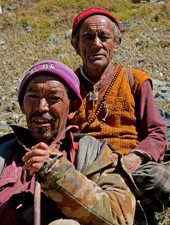
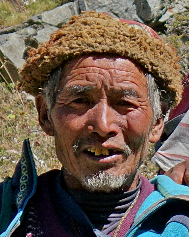
Further up, we met the people of Chala who were returning from their monsoon pasture in Ranikharka. The scene was reminiscent of the 1999 movie ″Himalaya″ with a lot of yaks, noise, and much dust. Overall, there was a deep sense of happiness and pride among the people (and the animals as well) after living together away from their village for several months.
|
|
|
|
|
|
|
|
|
|
|
|
|
|
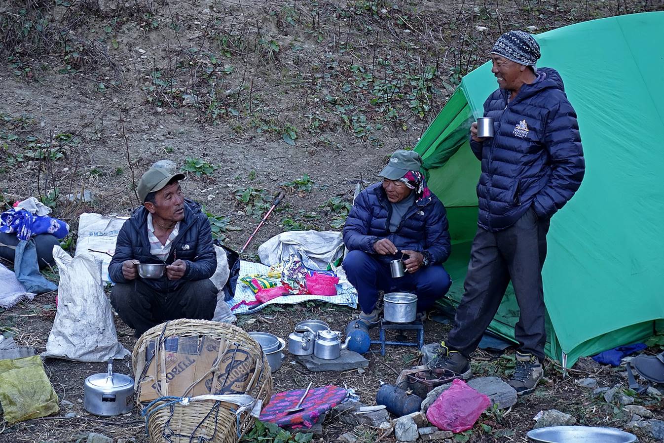
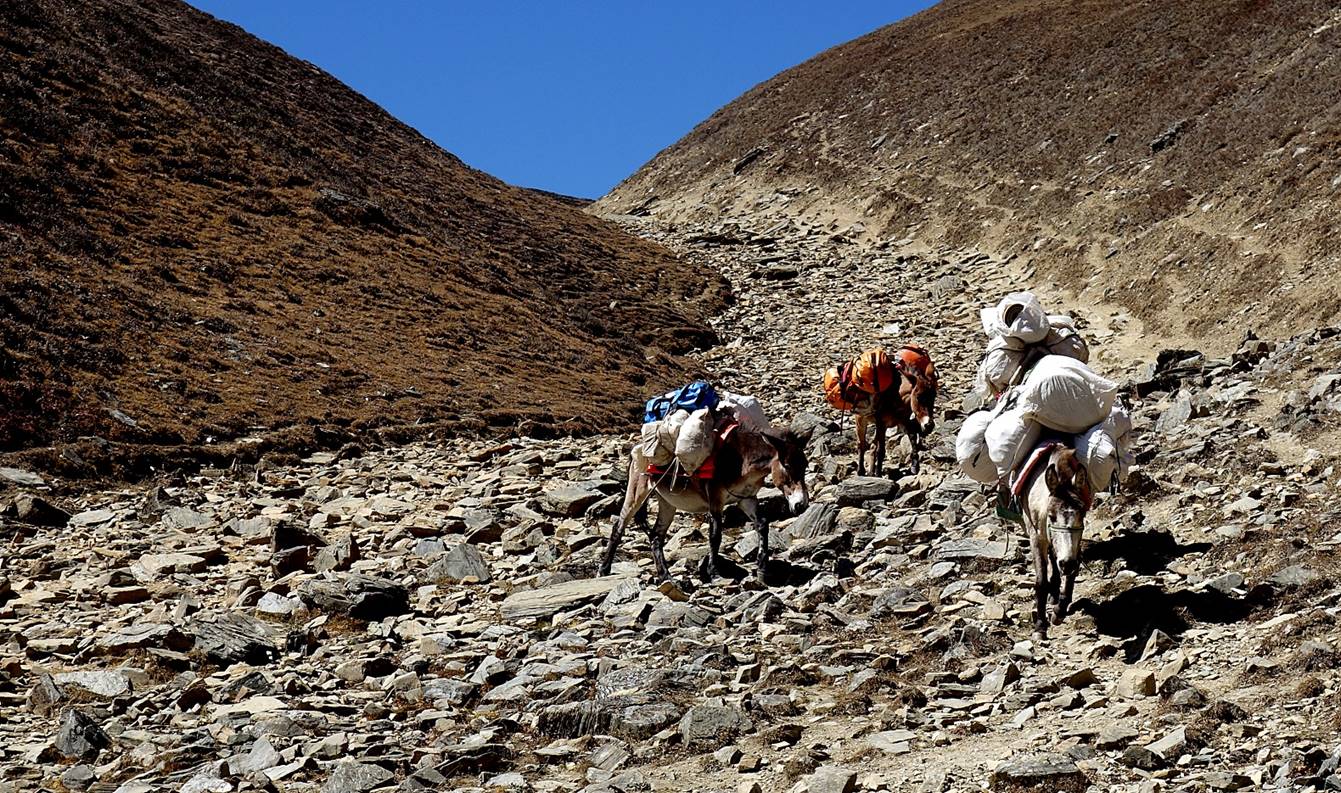
At our camp further up below the pass. From left to right: our muleteer, Dawa#2, and Dawa#1.
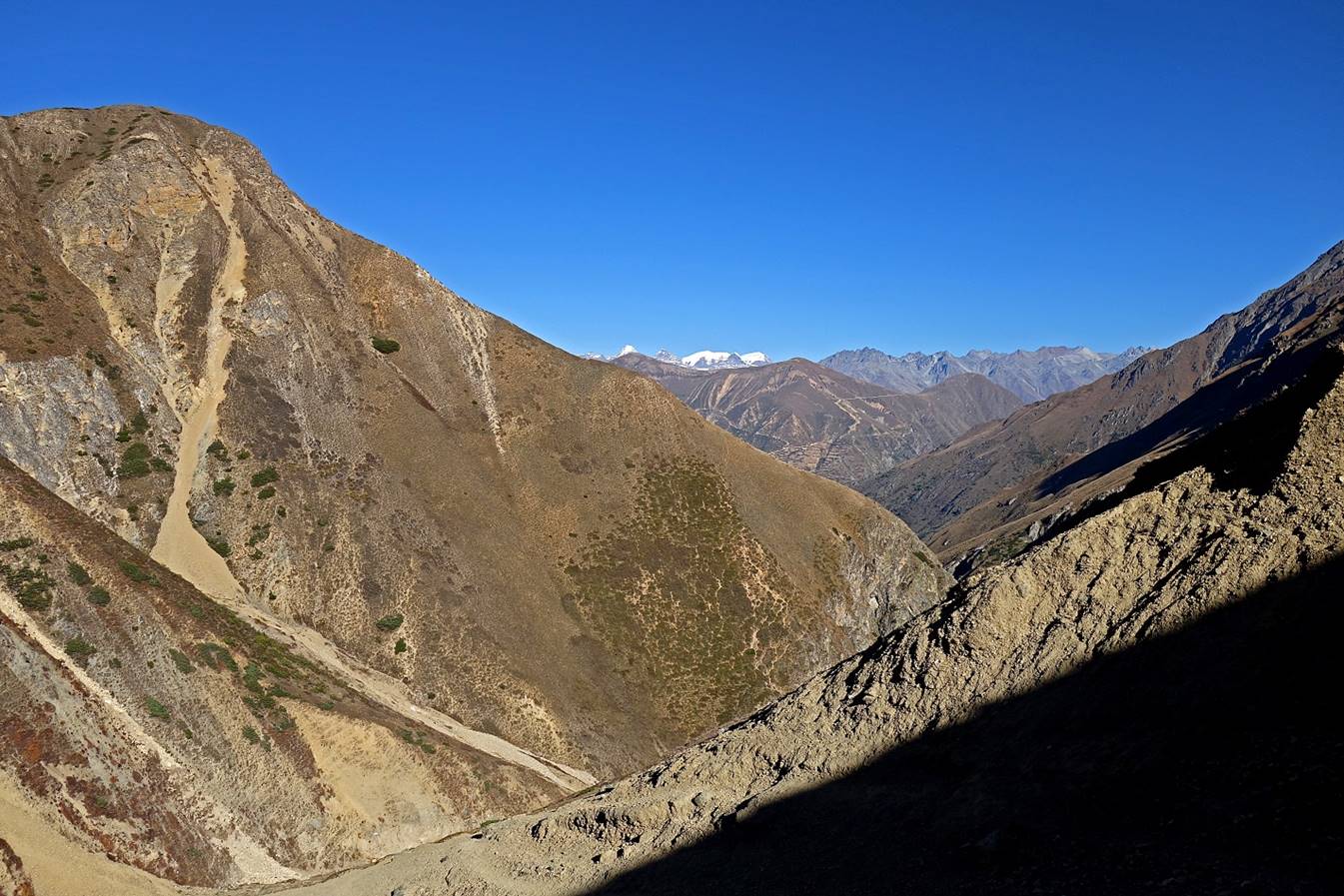
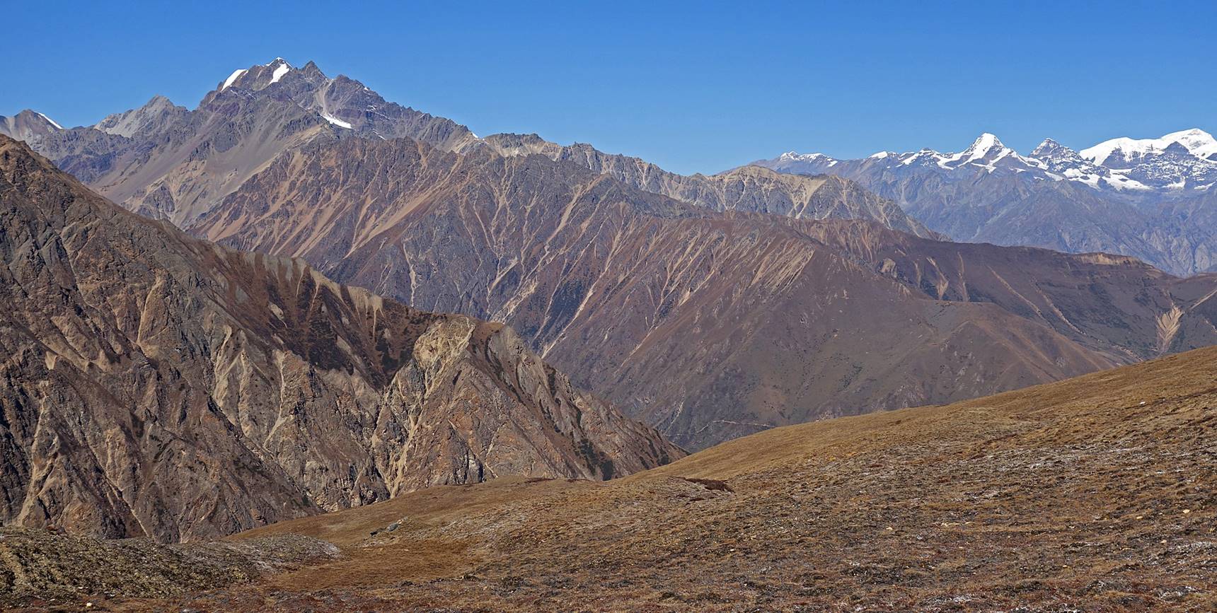
View toward the north during the climb to the pass on the next morning.
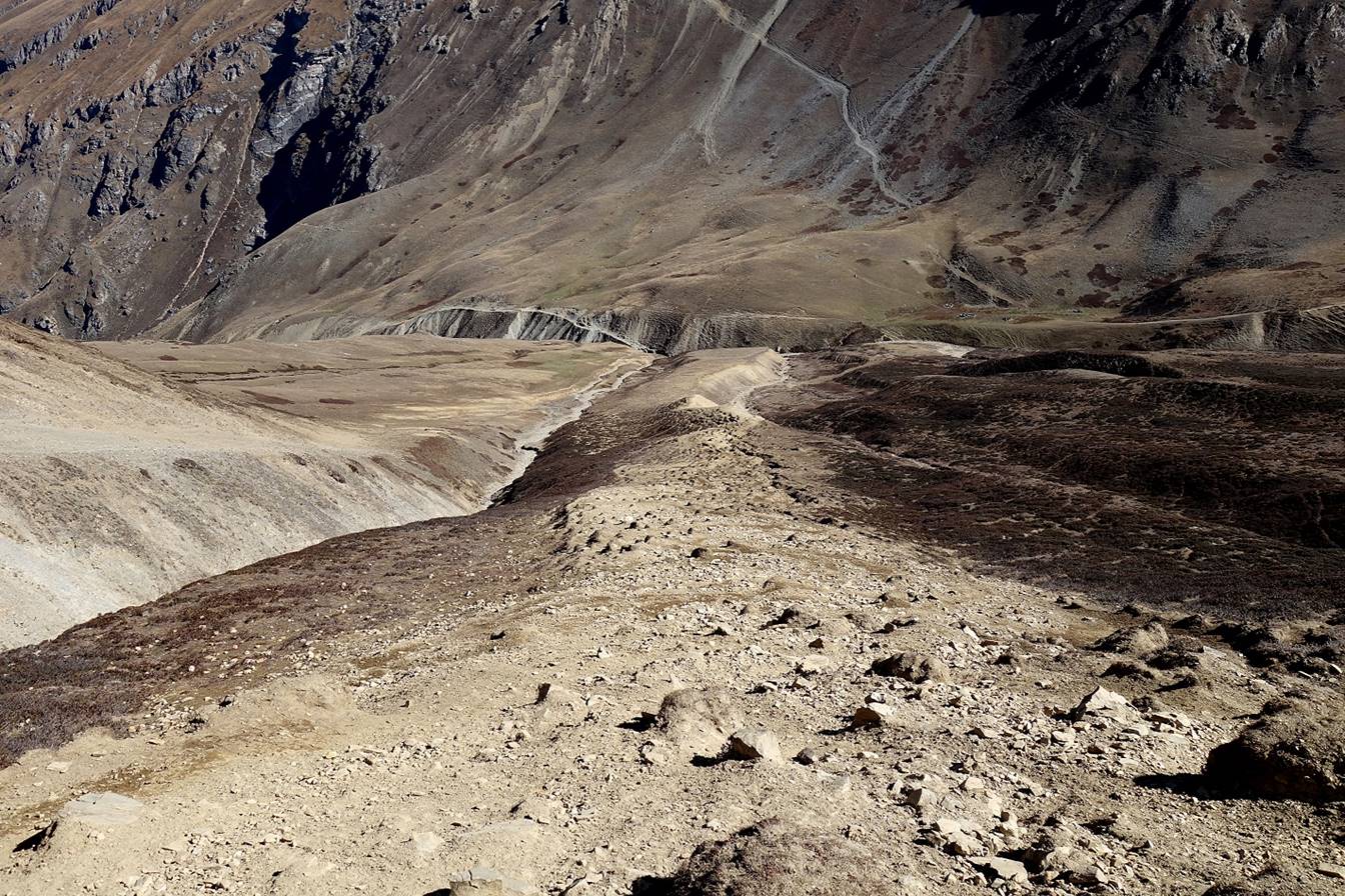
On the final stretch to the pass we took a straight and steep path toward the pass.
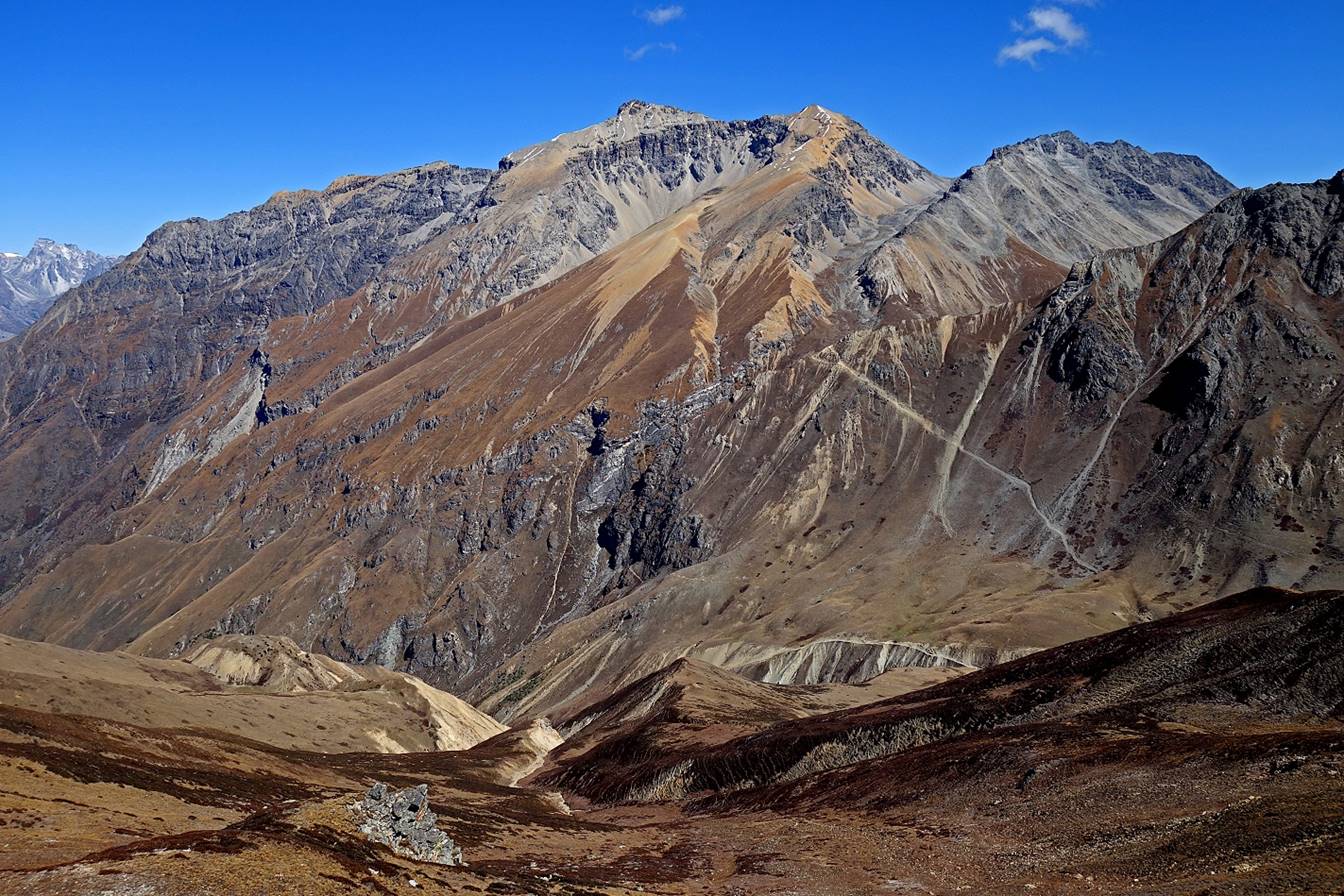
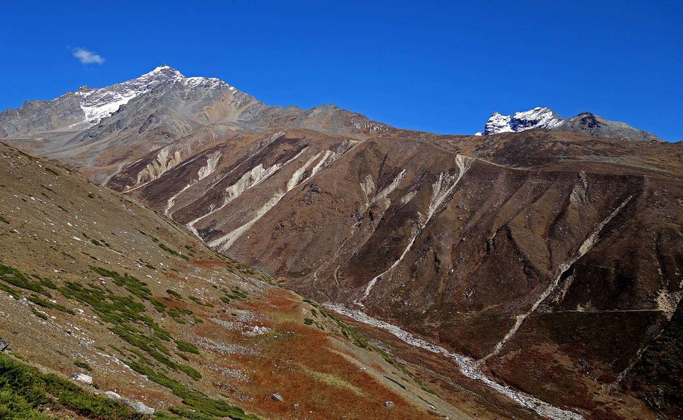
Sakya Lagna (4709m) with the 5698m peak behind and Chhote Kang (5527m) on its left.
Zoom on the 5698m peak.
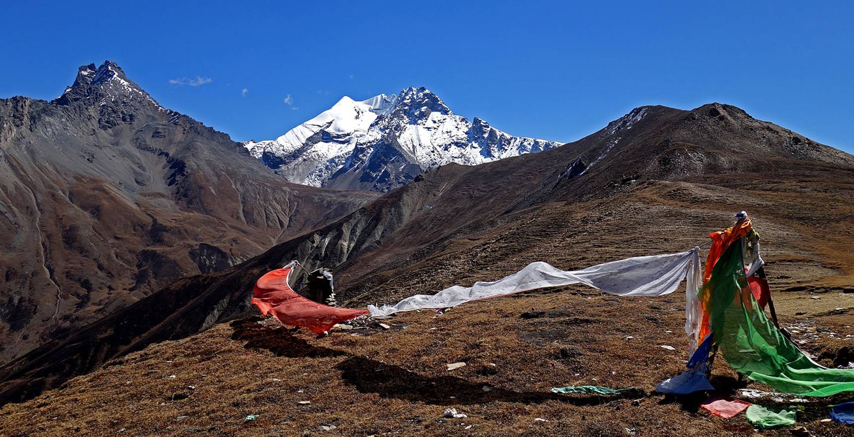
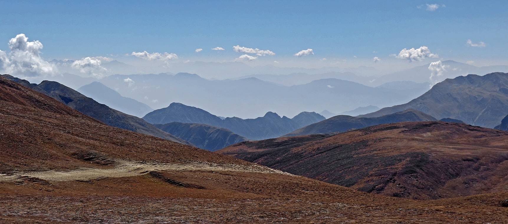
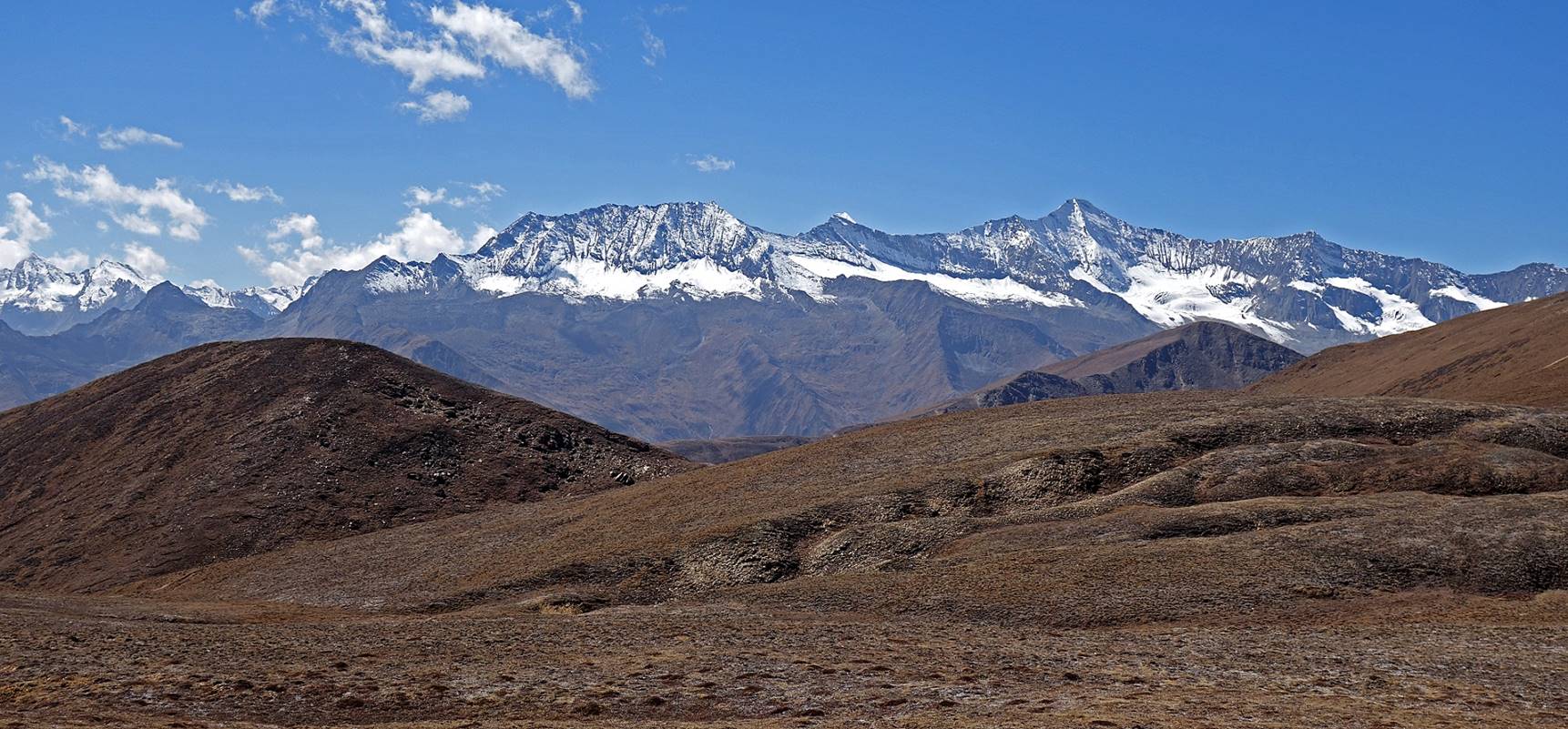
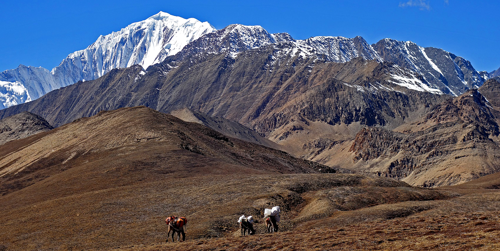
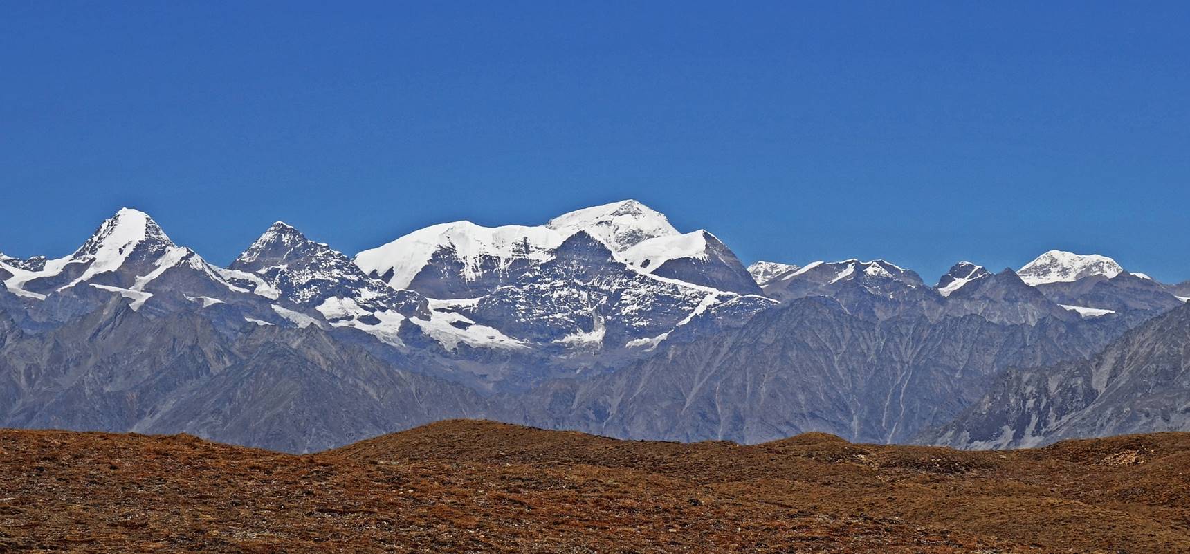
Views from Sakya Lagna:
- toward the south,
- toward the south-west, with the mountain range on the southern side of Ranikharka in the background,
- toward Mount Saipal,
- toward the north-west, with the Karan Khola canyon in the middle of the photo (second canyon from the front),
- toward the north with Tibetan peaks in the background.
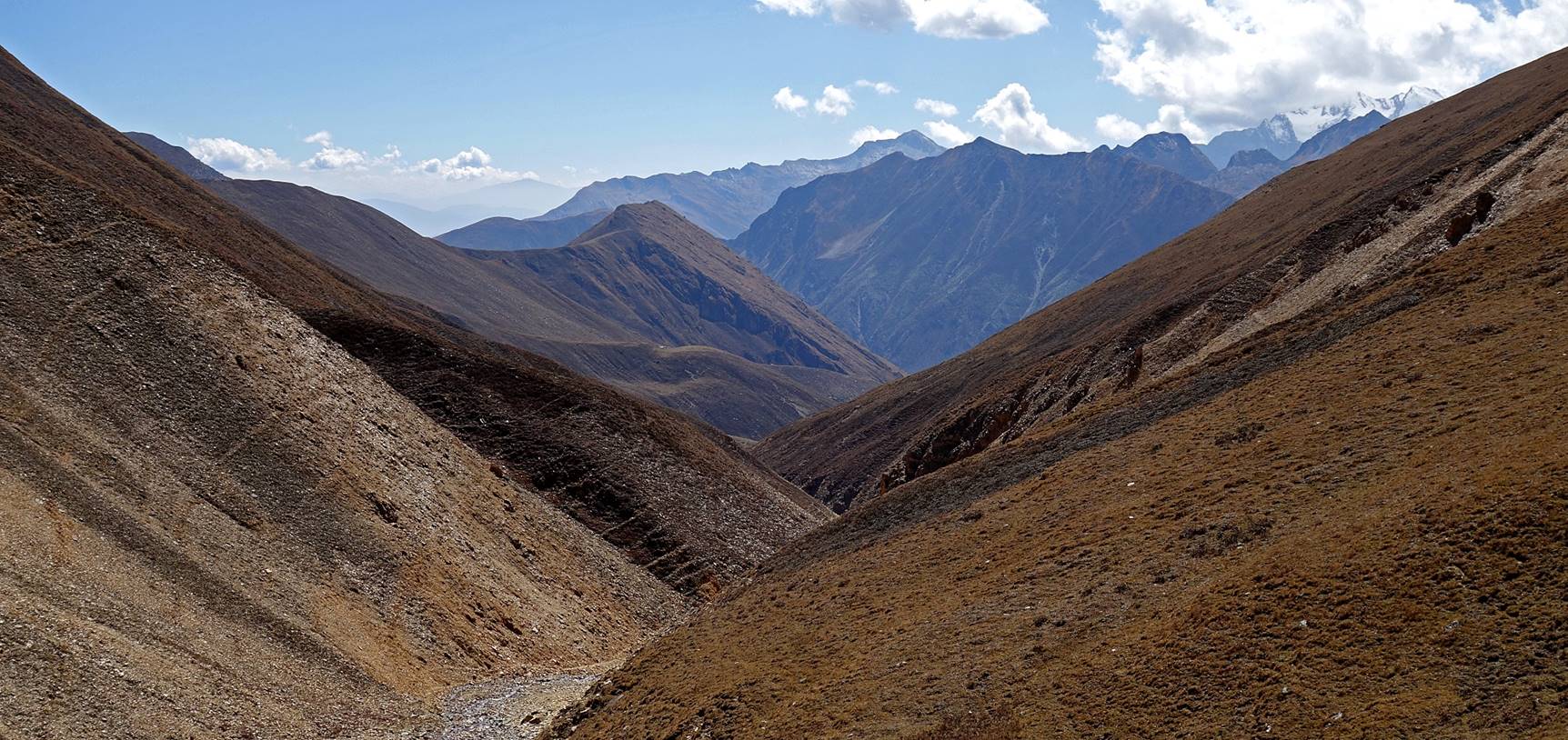
Starting our descent toward Ranikharka.
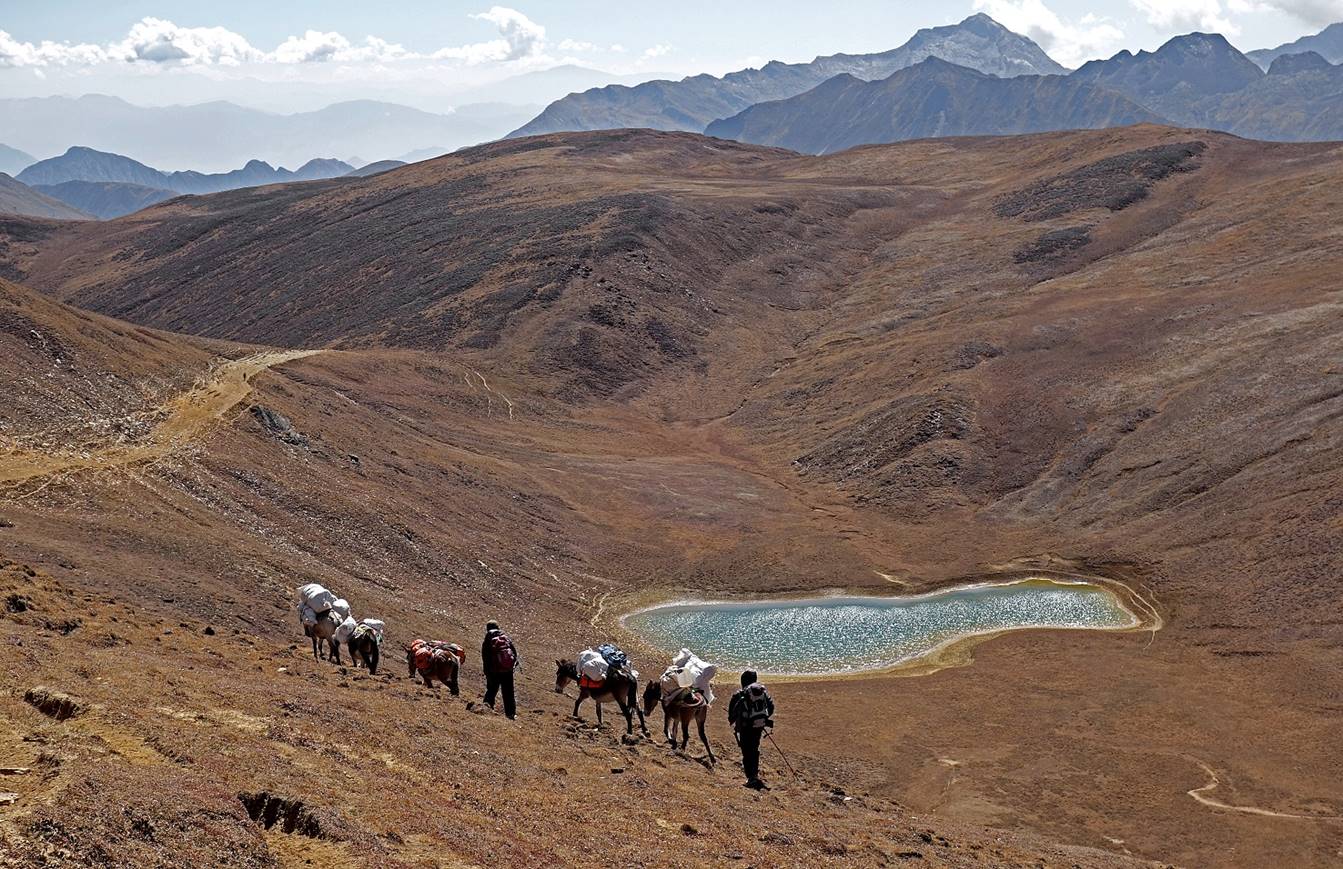
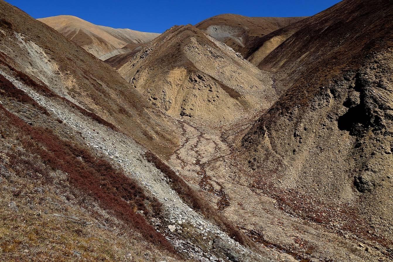
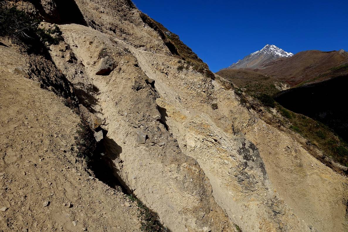
Further down into the descent the scenery became increasingly dry and austere.
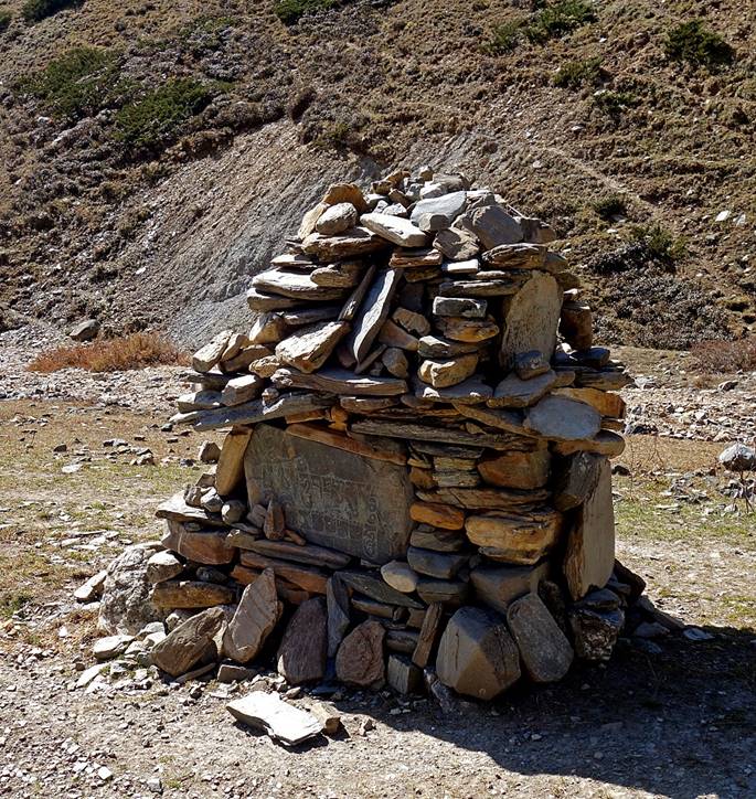
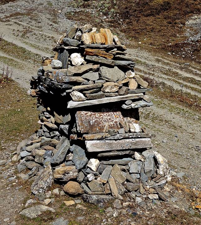
A rare (and small) Mani wall in this very sparsely populated Buddhist region of Nepal.
|
|
|
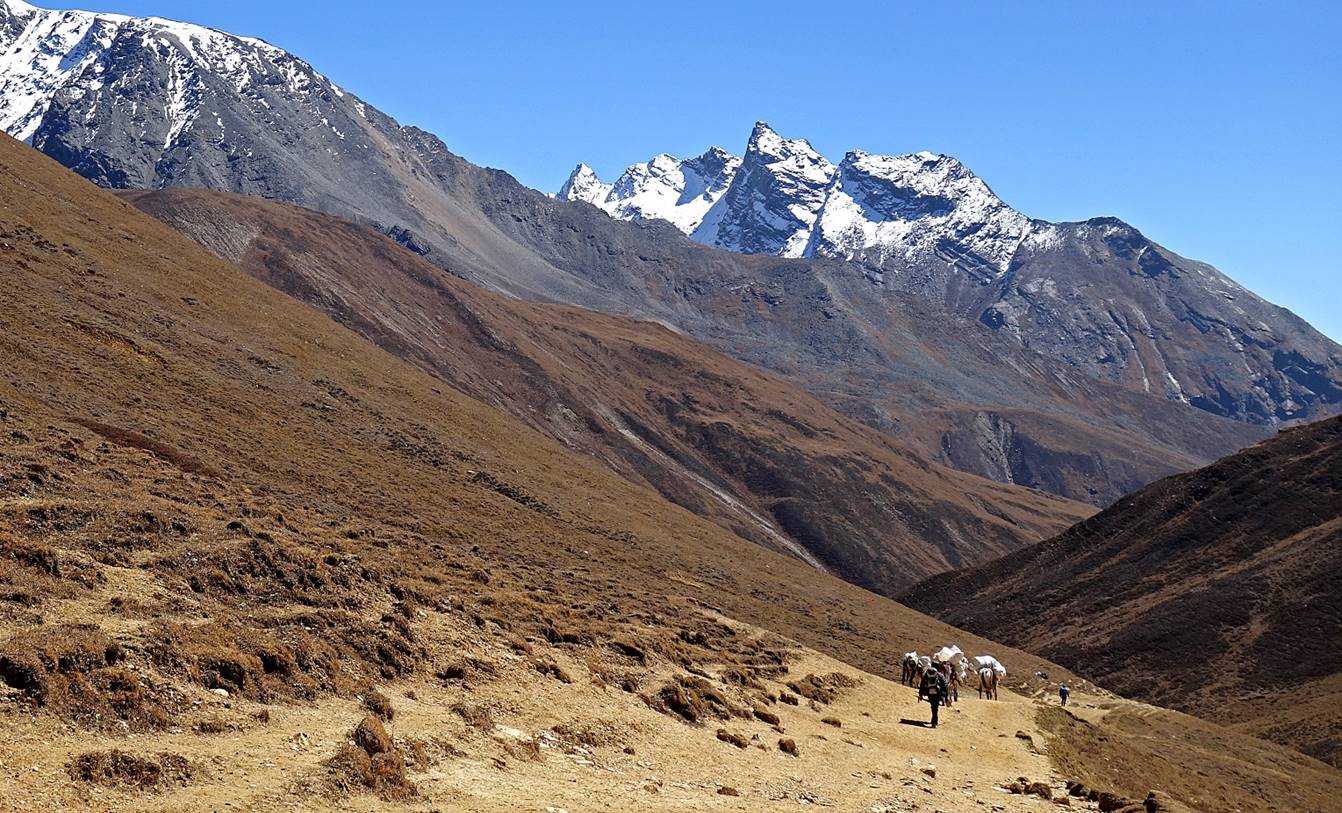
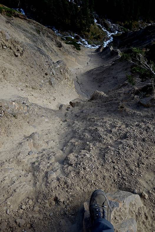
An exposed section of the trail before reaching Ranikharka.
|
|
|
The landscape suddenly turned to a dominant green color. We had arrived at Ranikharka (elevation: ~3500m).
![]()