Nepal (October 2017): Simikot to Kolti via Mount Saipal
9. Yuna to Kolti via Dulye
![]()
Return to main Nepal 2017 webpage
Beyond Yuna there were several itineraries leading to Kolti. Following the advice of our new porters we skipped Bichchhya and headed to Dulye at the confluence of Kawadi Khola and Karnali Nadi. We then followed Karnali Nadi downstream and turned into the Kunda Khola valley.
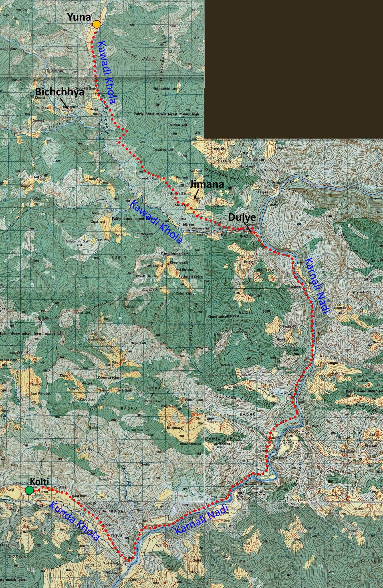
Map: The itinerary of this section of the trek is shown in red dotted line in the topographic map below. Consecutive blue vertical and horizontal lines are spaced by 1km.
(Reminder: These 50K topographic maps are available in their entirety at https://jemecasseausoleil.blogspot.fr/2017/07/cartes-du-nepal.html.)
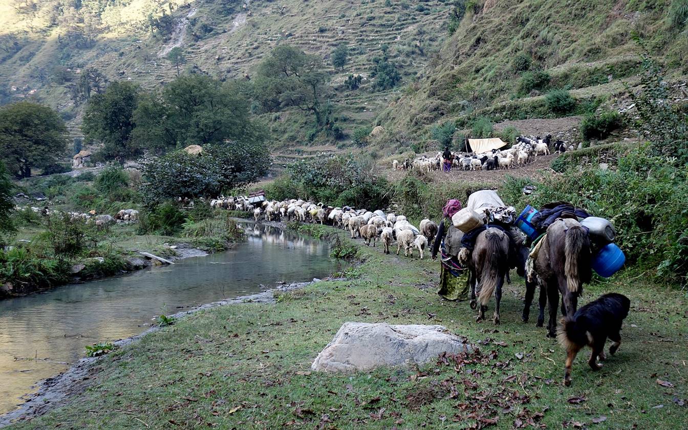
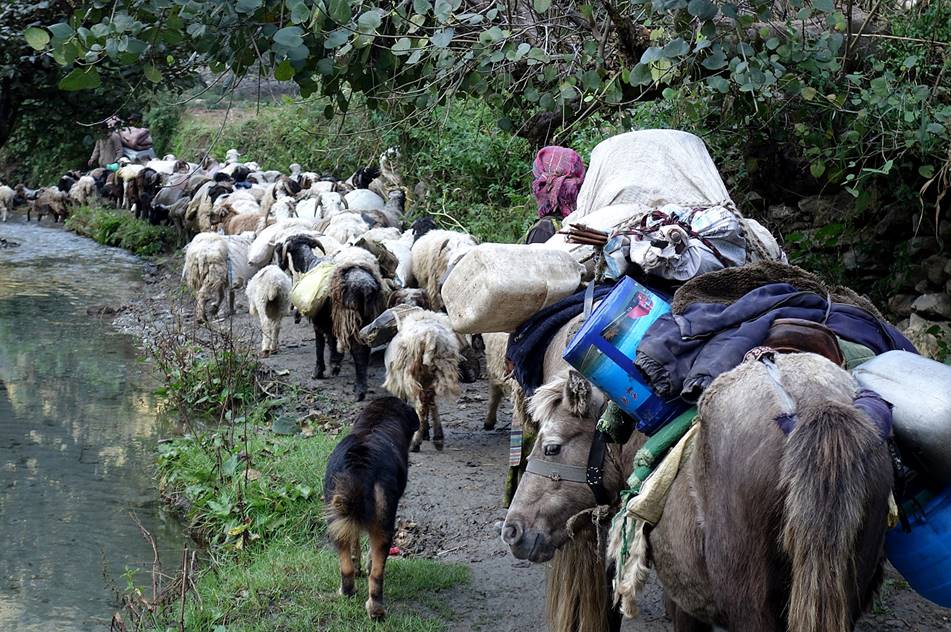
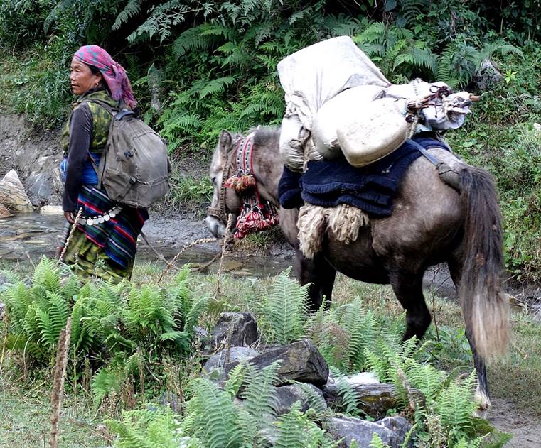
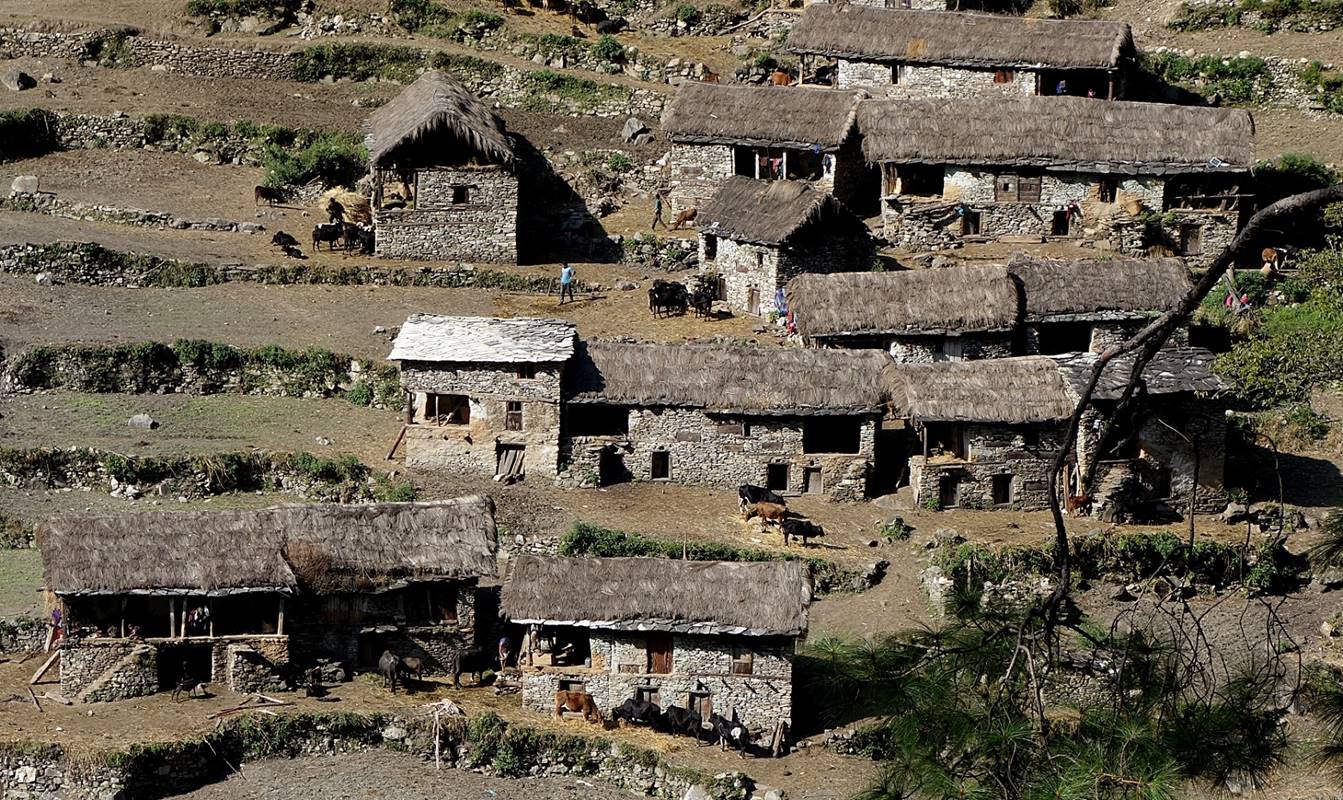
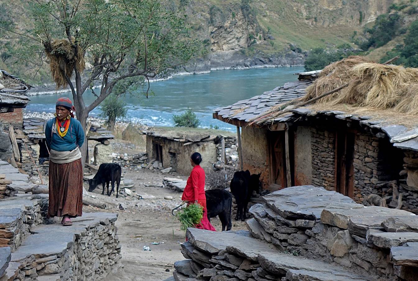
People and animals returning from their monsoon pastures, encountered below Yuna.
|
|
|
Village on the right bank of Kawadi Khola seen from the other side of the river, soon after we crossed it.
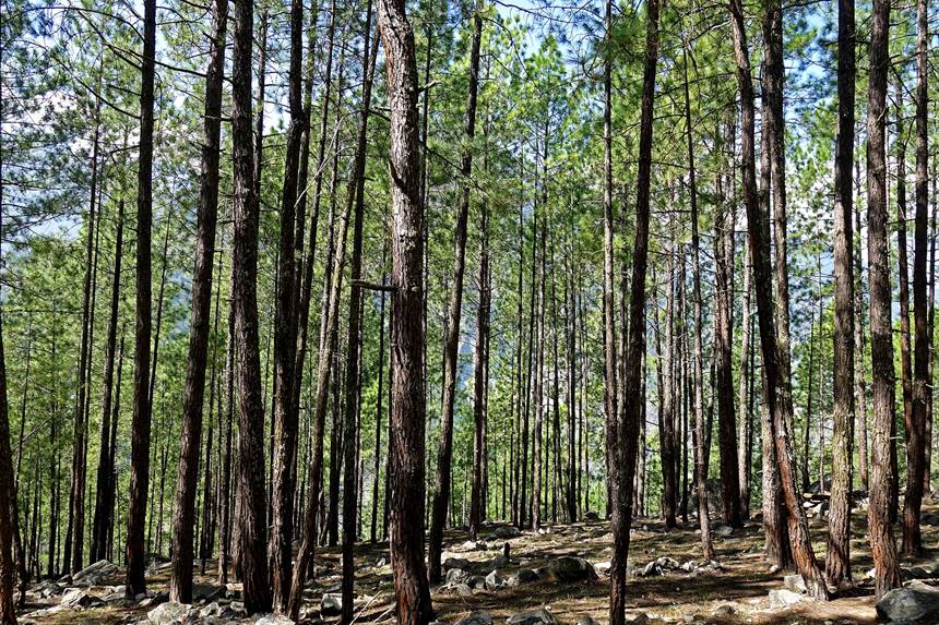
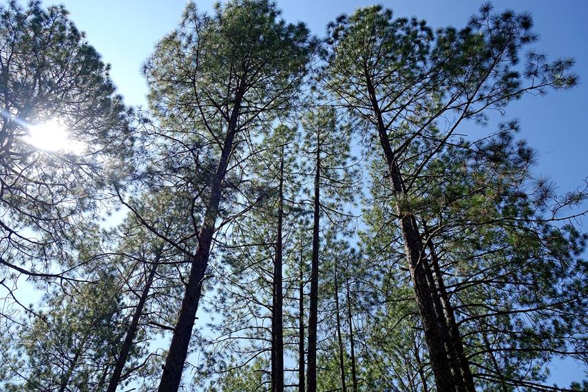
Immediately after crossing Kawadi Khola we climbed approximately 700m on a steep trail leading to a nice pine forest.
|
|
|
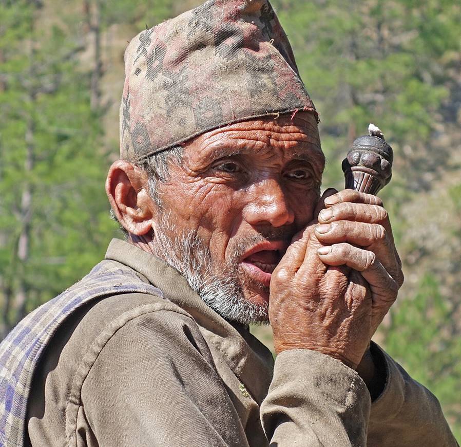
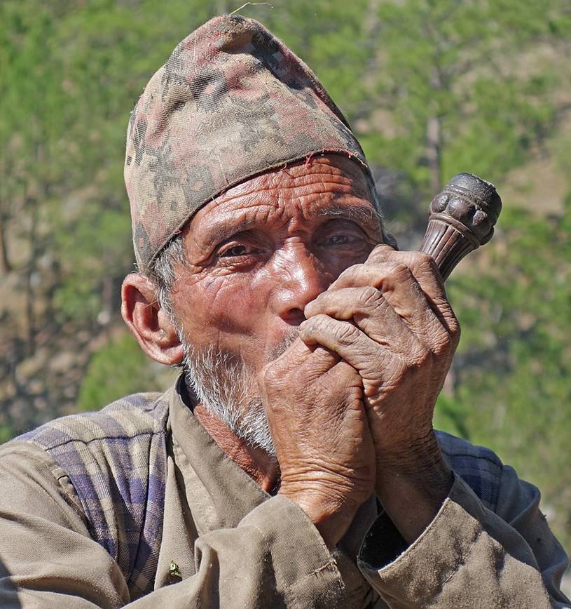
Man smoking a chillum (straight pipe) in a small settlement after the pine forest.
|
|
|
Village of Jimana seen from the trail.
View of the trail under Jimana, above Kawadi Khola, with the Karnali Nadi canyon partially visible on the left of the photo.
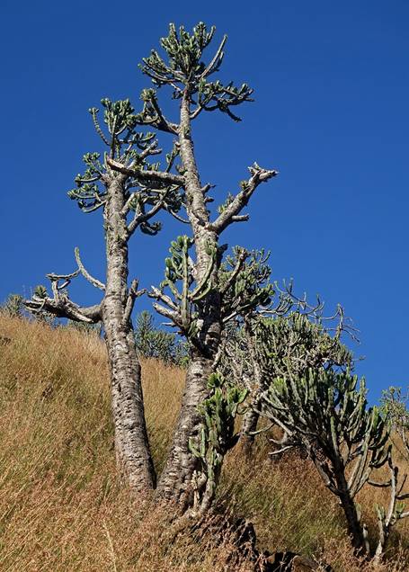
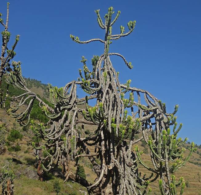
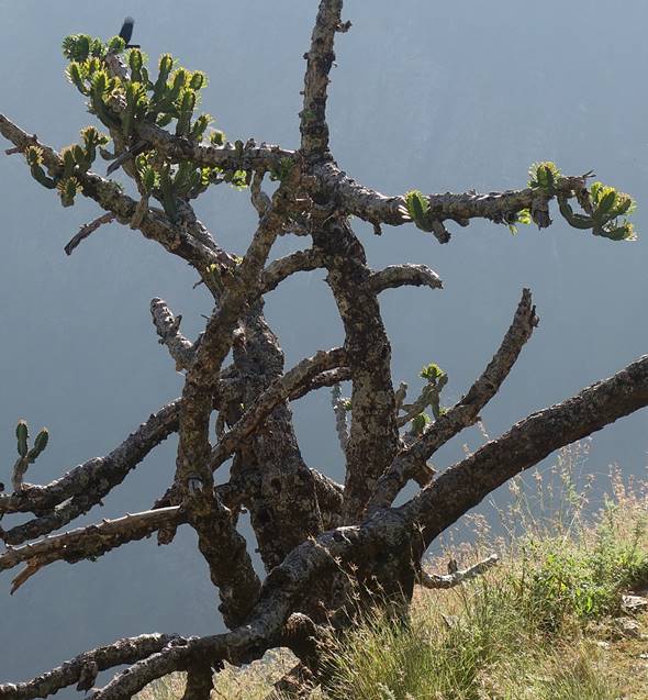
As we got closer to Karnali Khola, the landscape became increasingly dryer, with many differently shaped cactus.
|
|
|
|
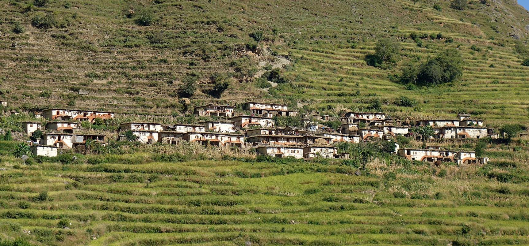
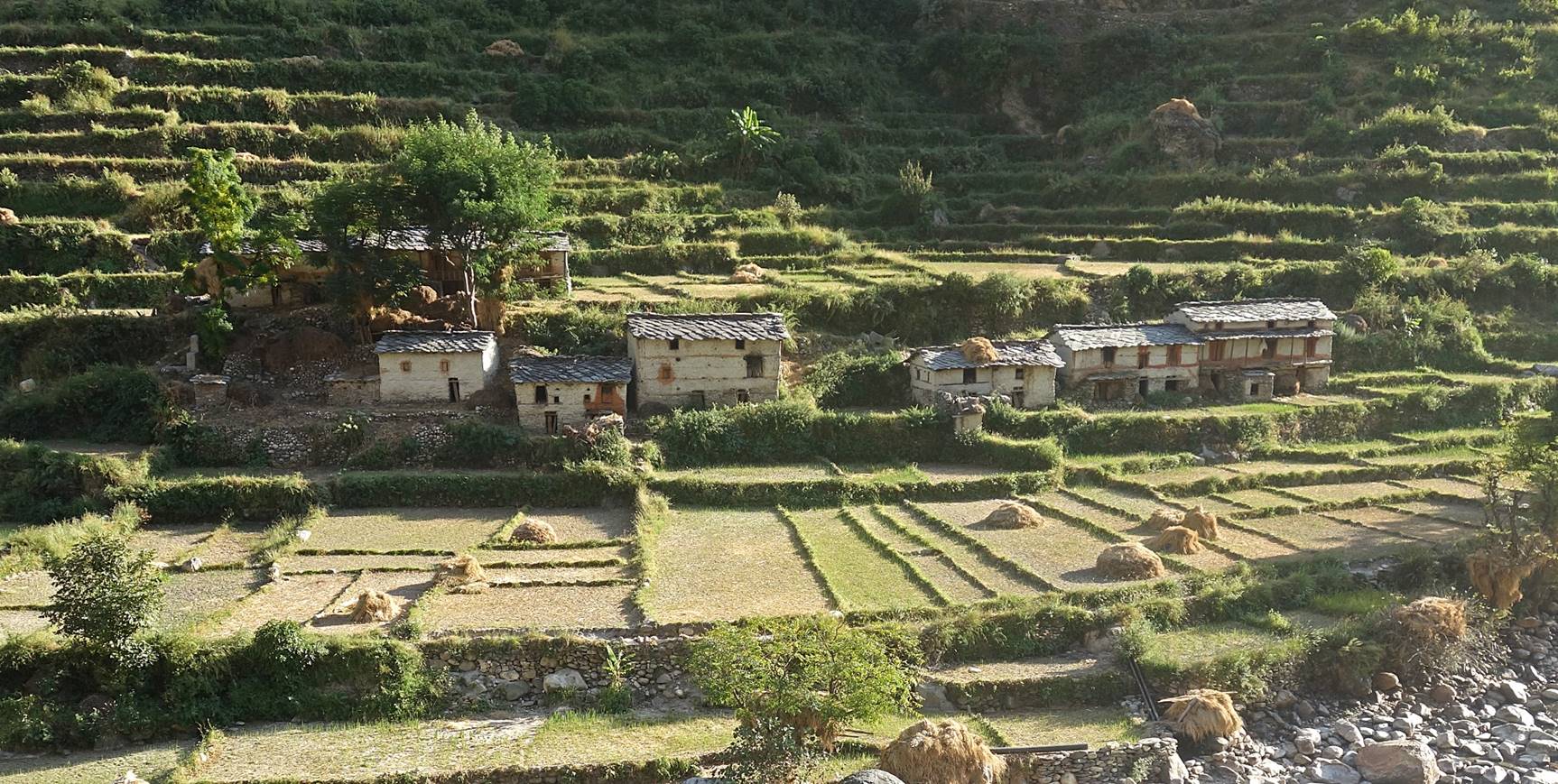
Villages on the opposite side (right bank) of Kawadi Khola.
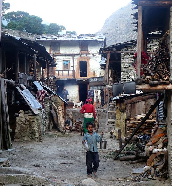
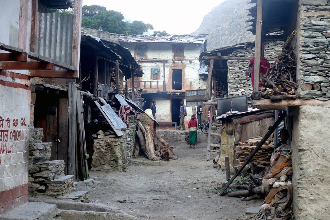
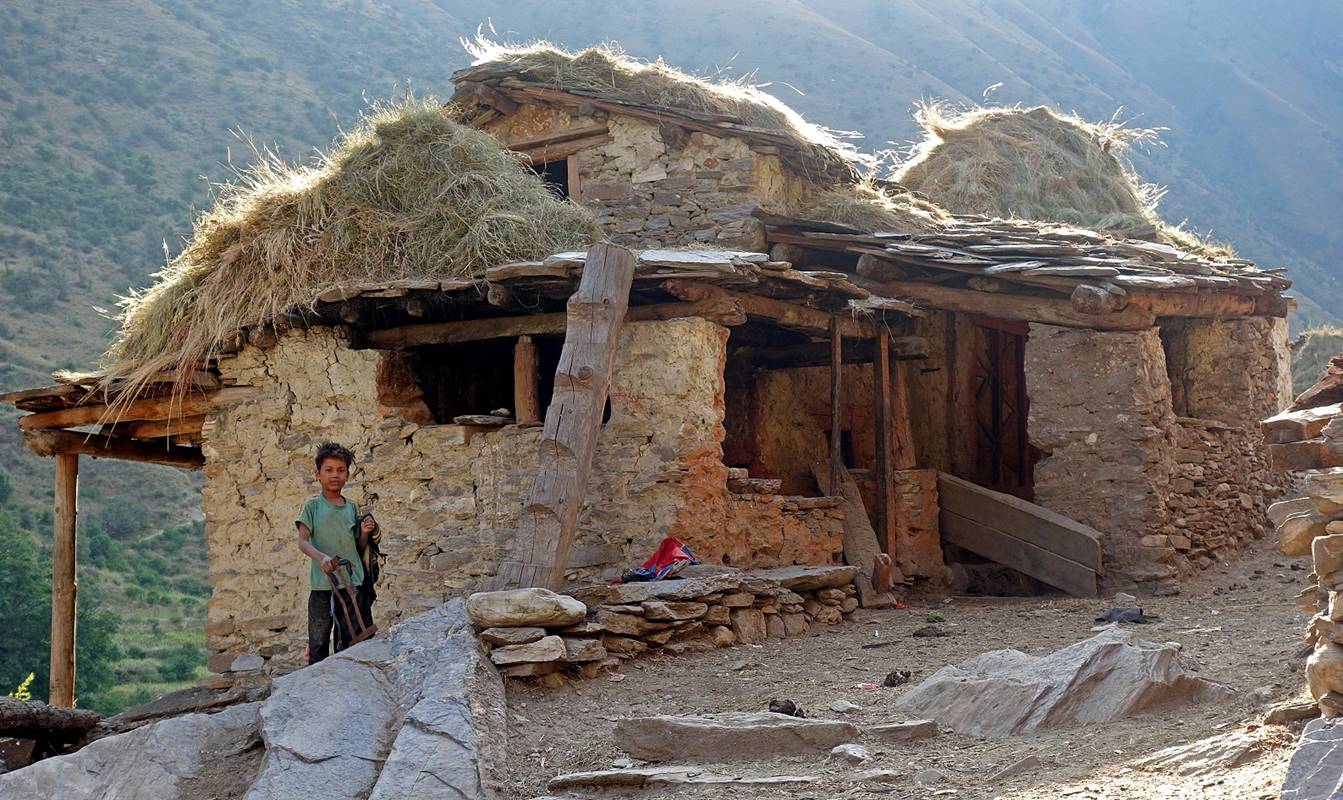
In the village of Dulye, after crossing the bridge above Kawadi Khola just before it flows into Karnali Nadi. (Maps call this village Dulye, but local people seem to use another name.) Although the village is not particularly pleasant, we put a camp in a harvested rice field adjacent to it.
|
|
|
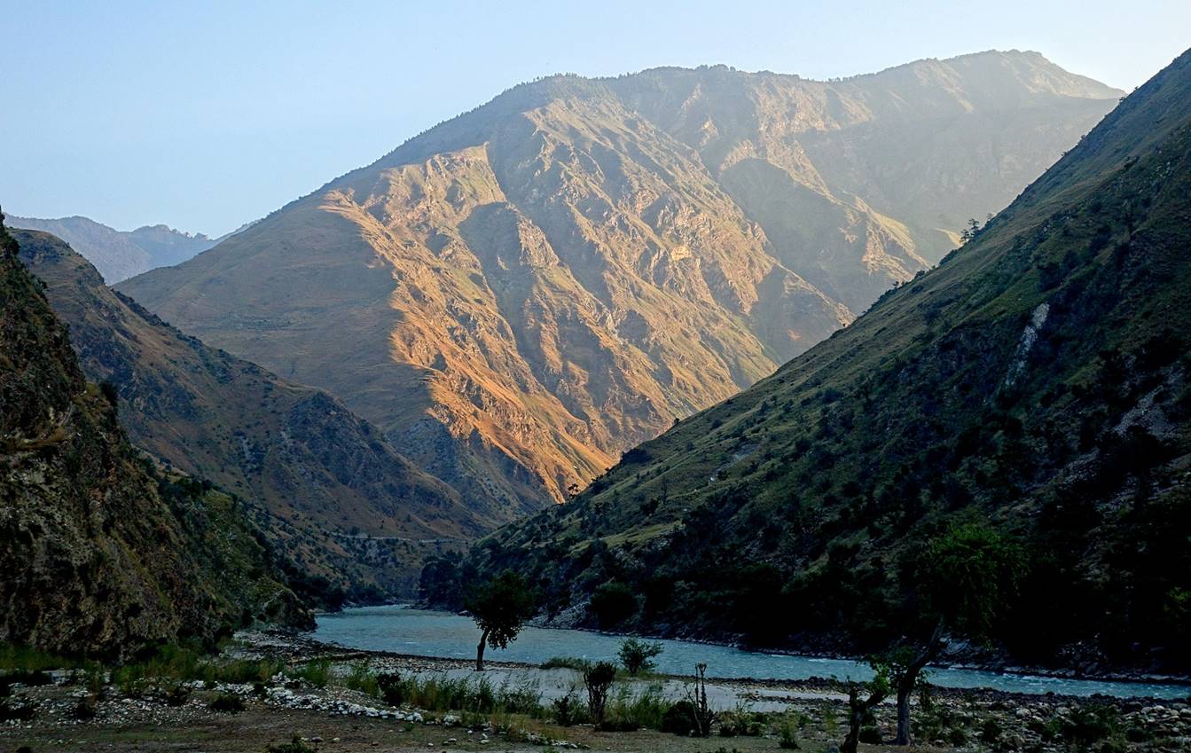
View of the Karnali Nadi canyon on the next morning, soon after leaving Dulye (photo facing north).
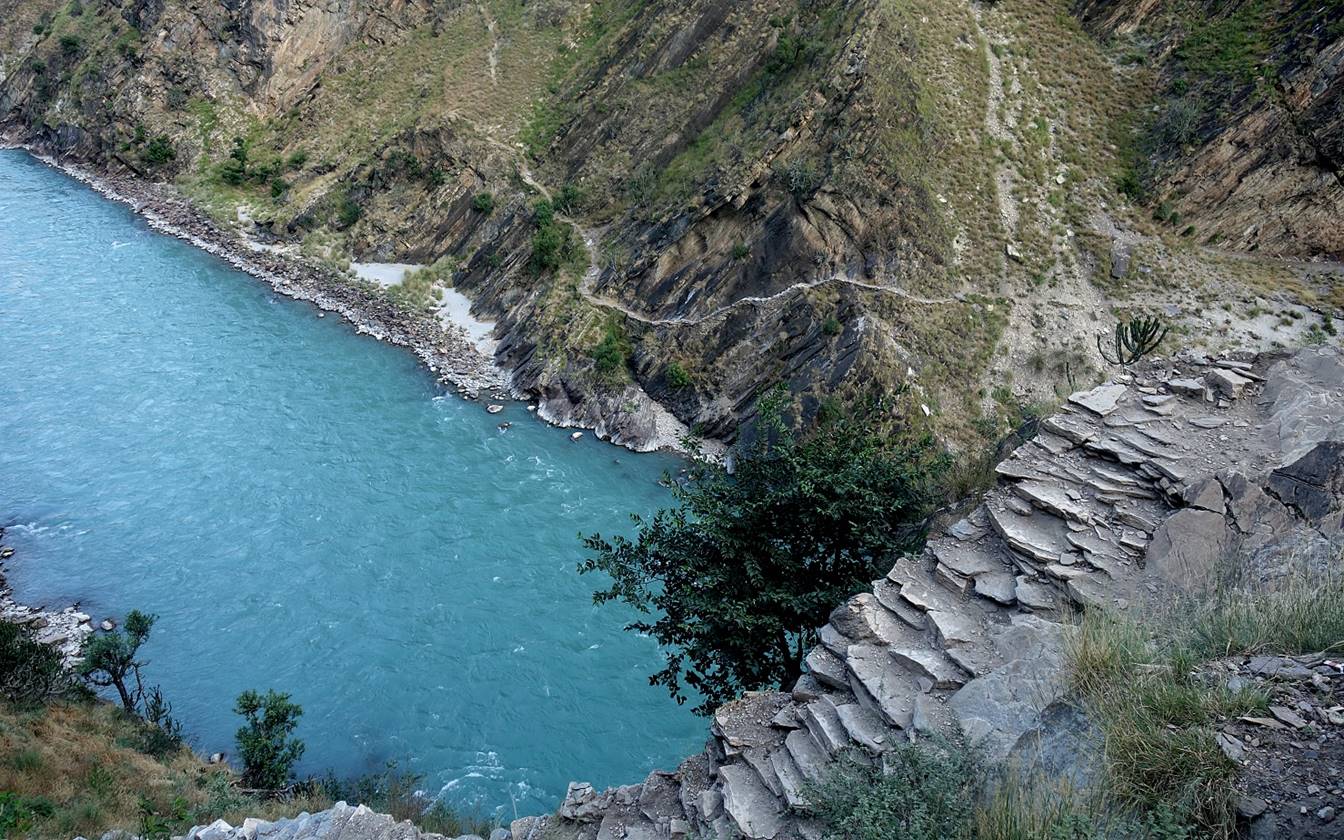
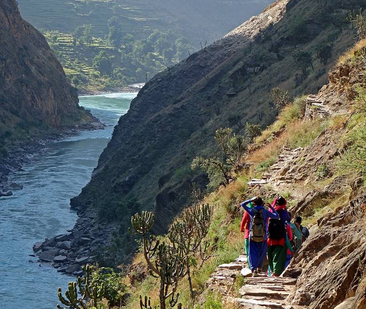
Beautifully built trails on both sides of Karnali Nadi.
In a village along Karnali Nadi.
|
|
|
[The boy on the right repairs his small fishing net.]
|
|
|
|
|
|
|
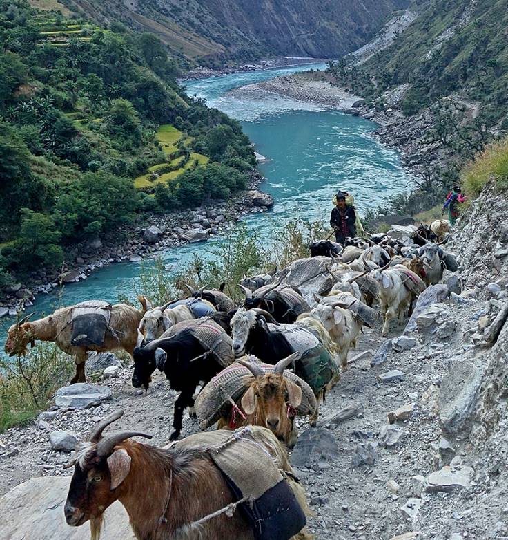
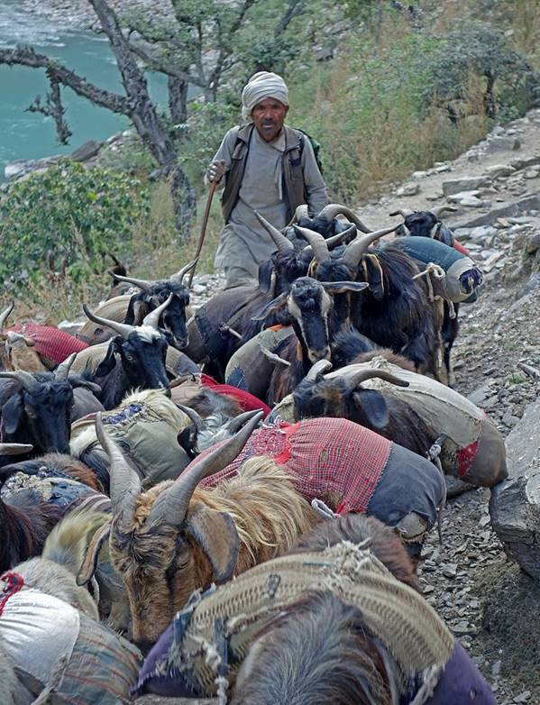
Goat caravan along Karnali Nadi.
|
|
|
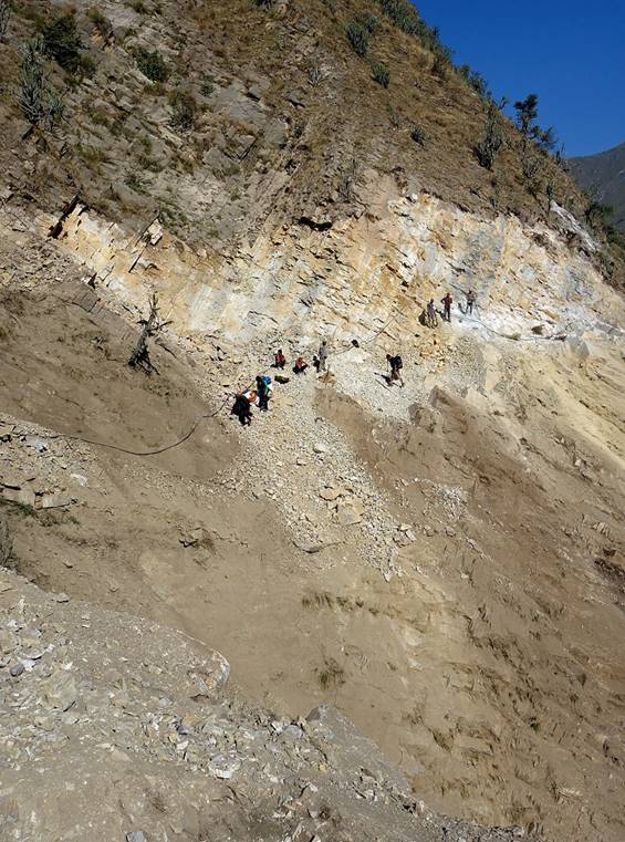
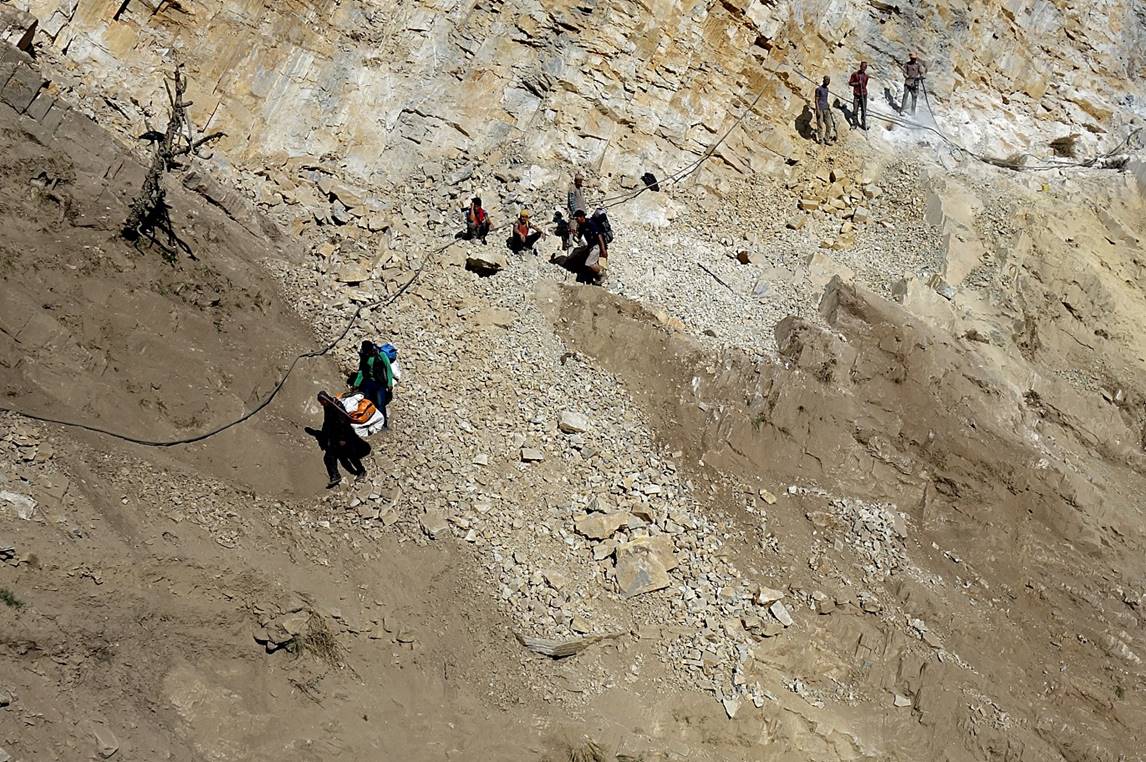
Dangerous section of the trail. It was not clear what the workers were doing: repairing the trail or building a new road?
|
|
|
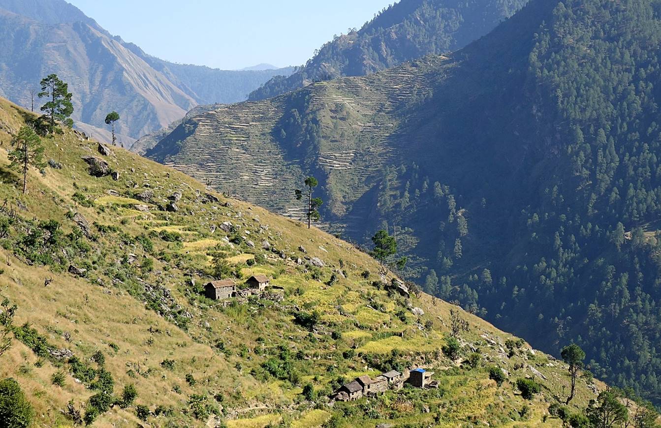
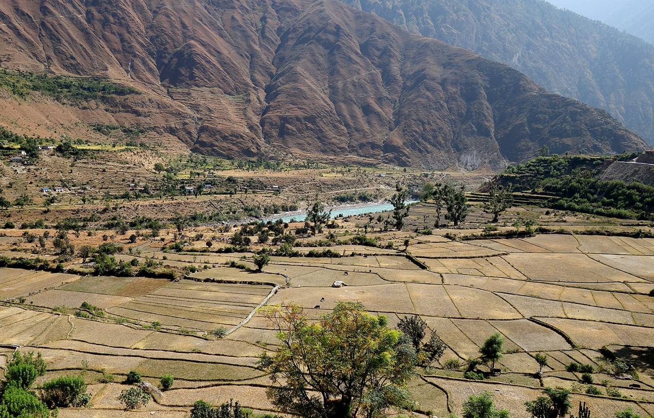
A rare flat stretch of land covered by rice fields along Karnali Nadi.
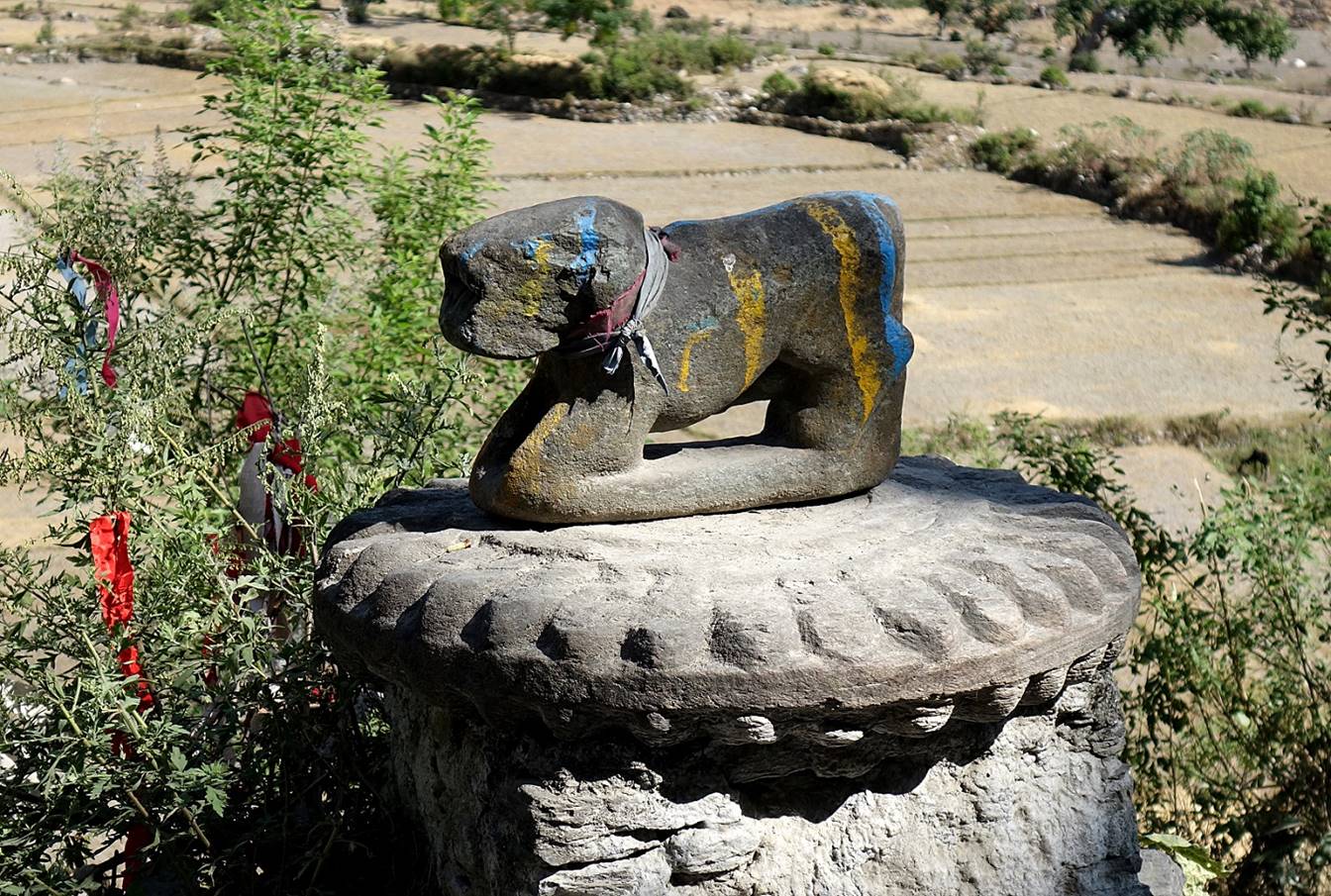
Unusual small altar and statue on the side of the trail.
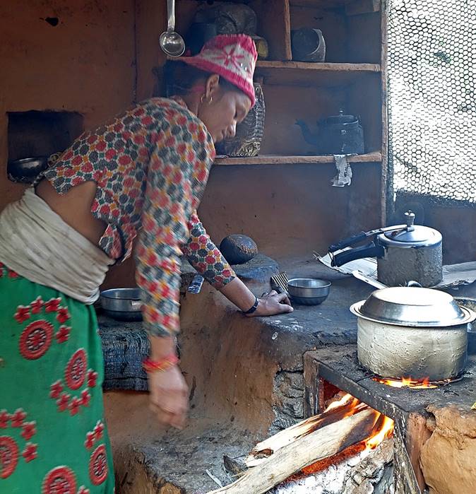
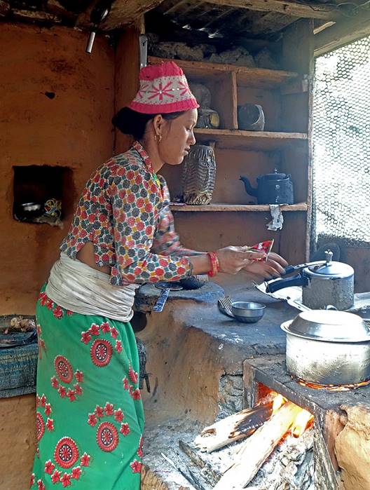
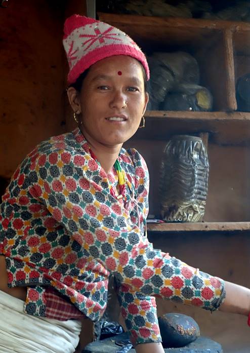
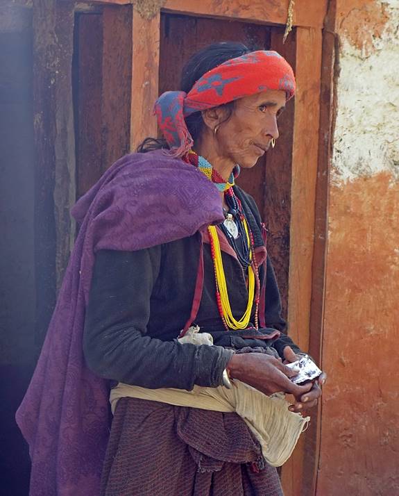
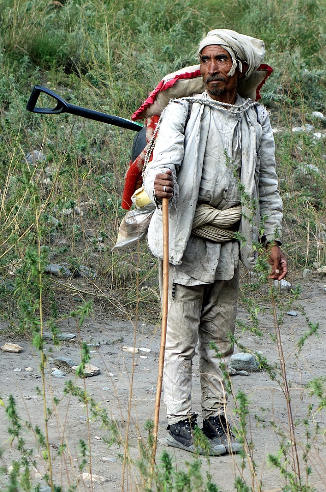
A man and a woman.
|
|
|
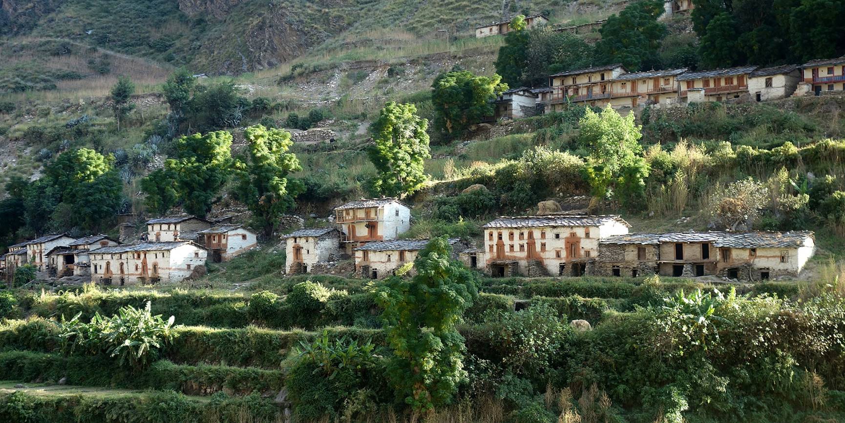
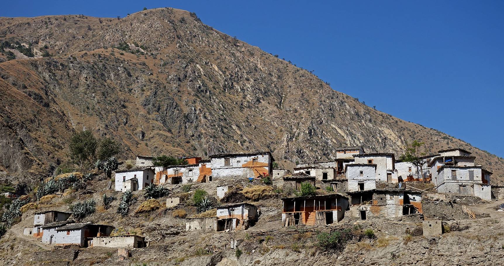
Village above Karnali Nadi.
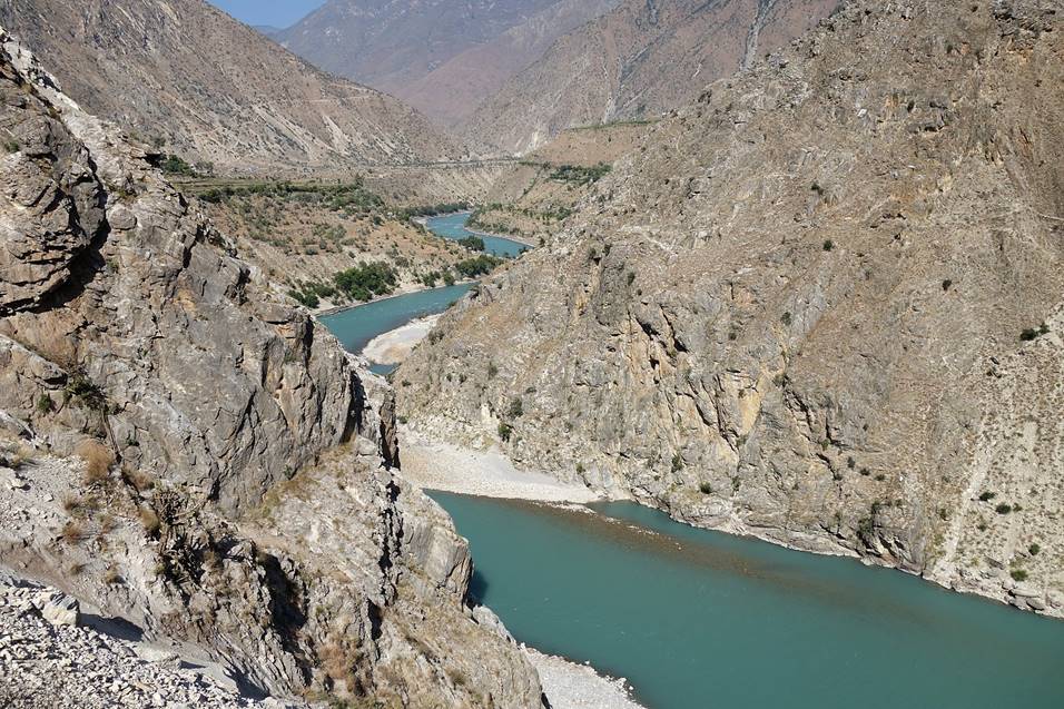
Narrow sections of Karnali Nadi.
|
|
|
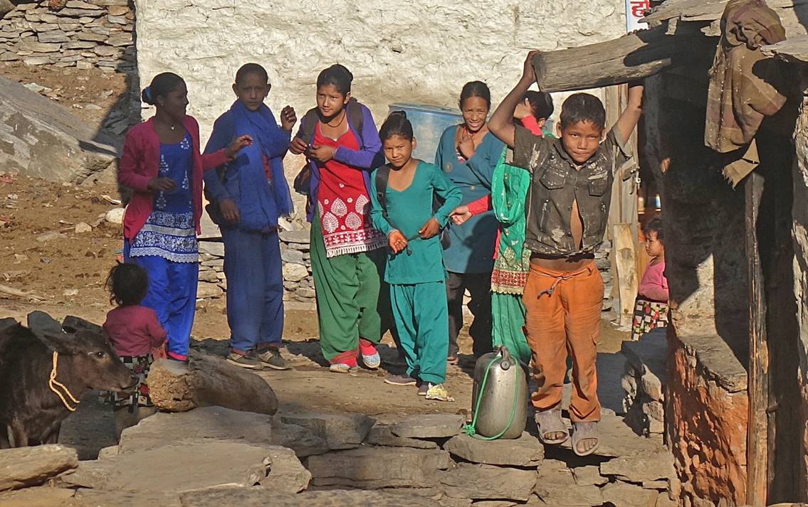
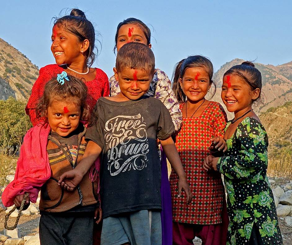
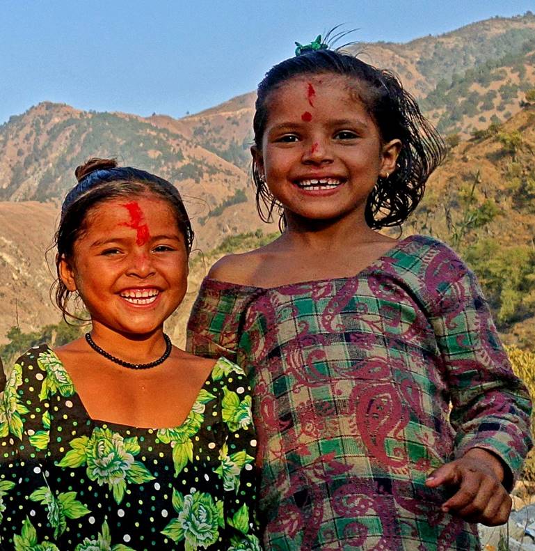
Joyous children looking into my tent at the camp that we set along Karnali Nadi.
|
|
|
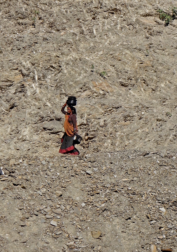
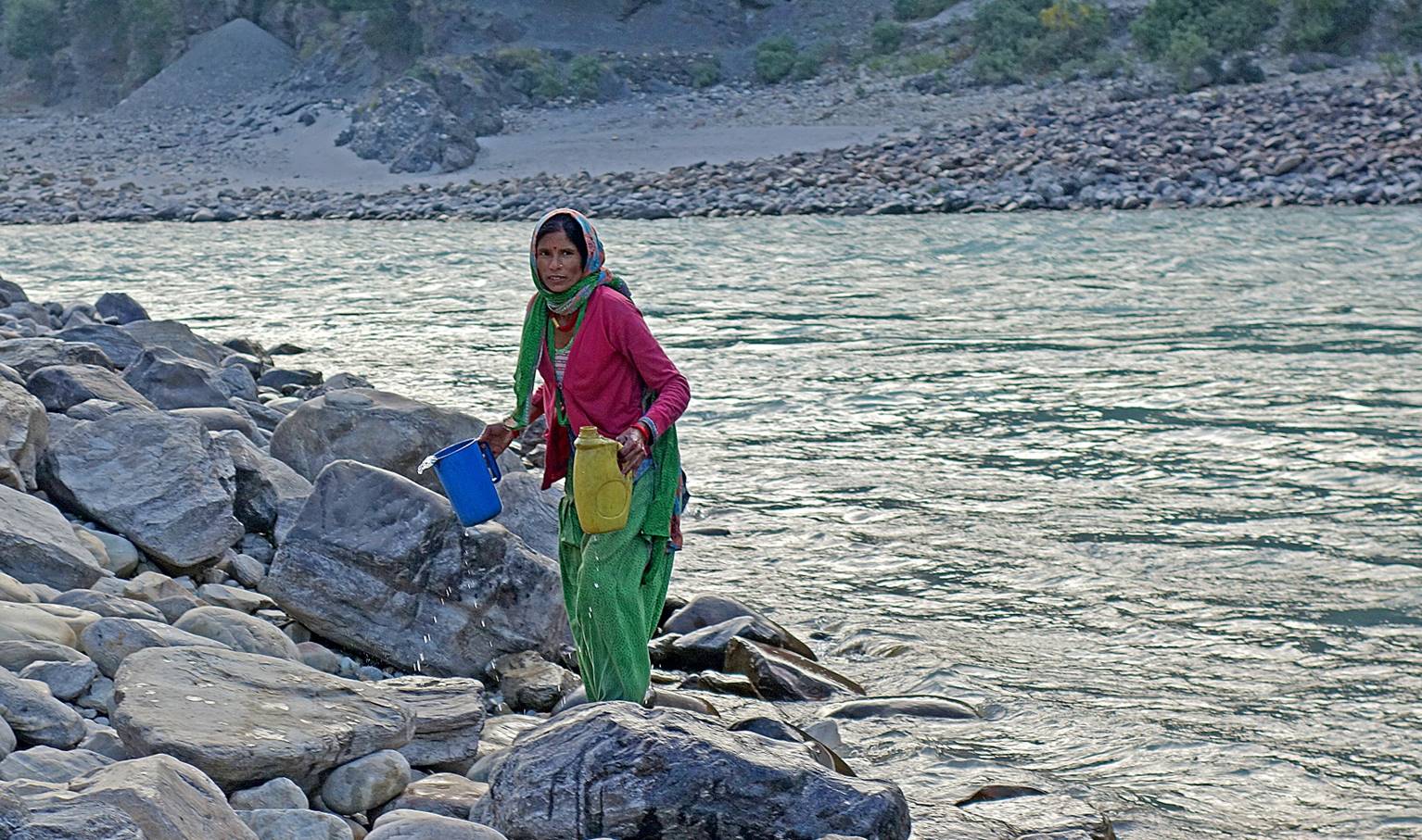
Woman fetching water from the river in the early morning.
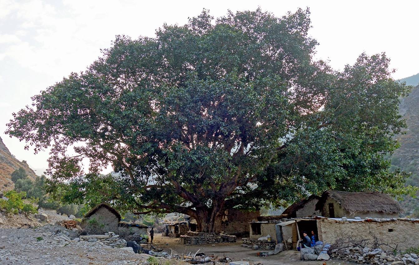
A small hamlet with a big tree.
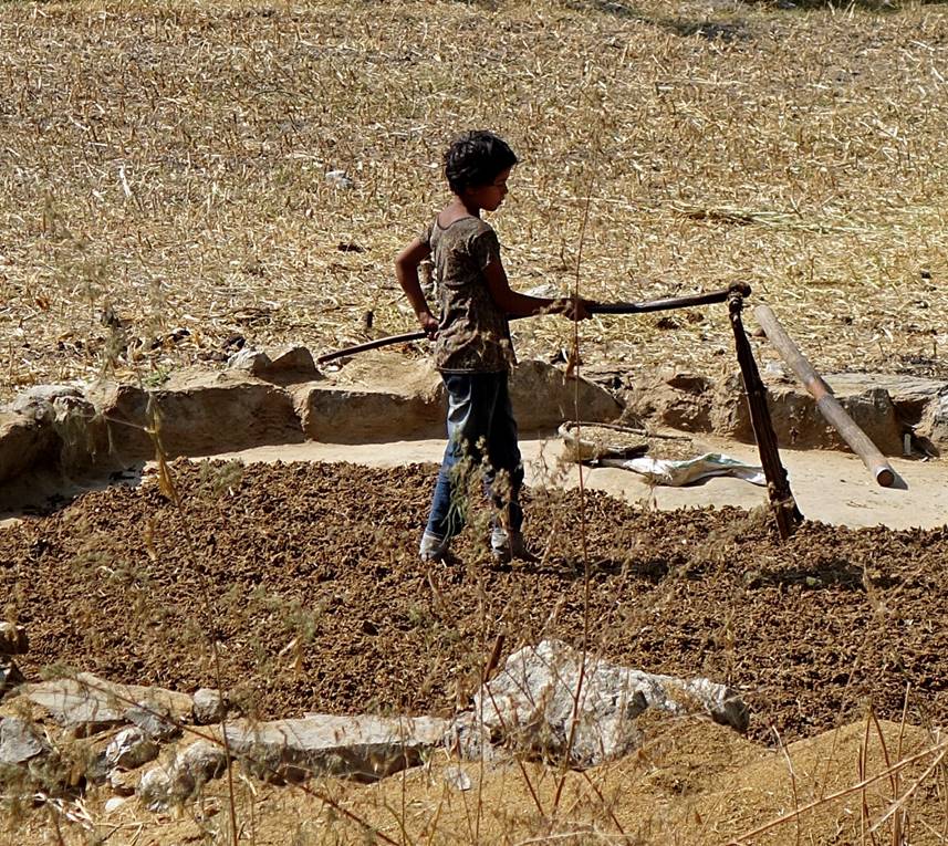
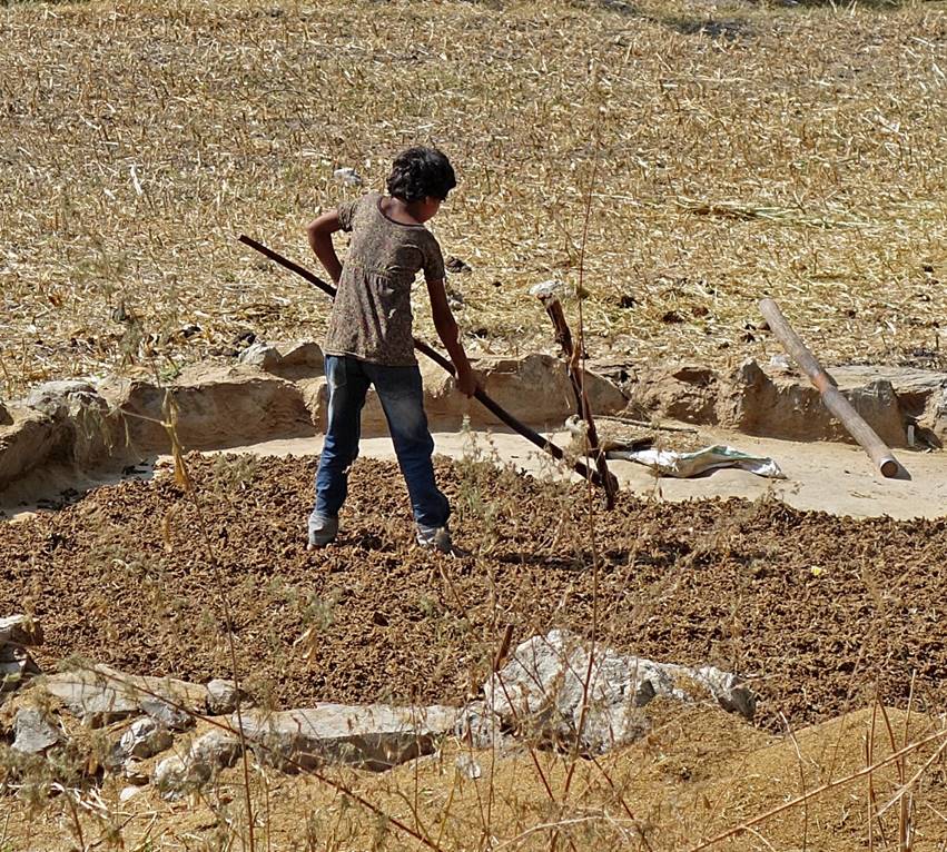
Young girl threshing grain with a frail in the Kunda Khola valley.
|
|
|
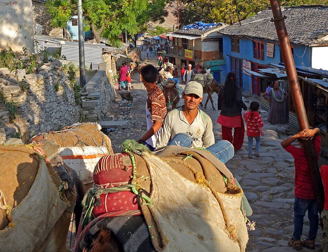
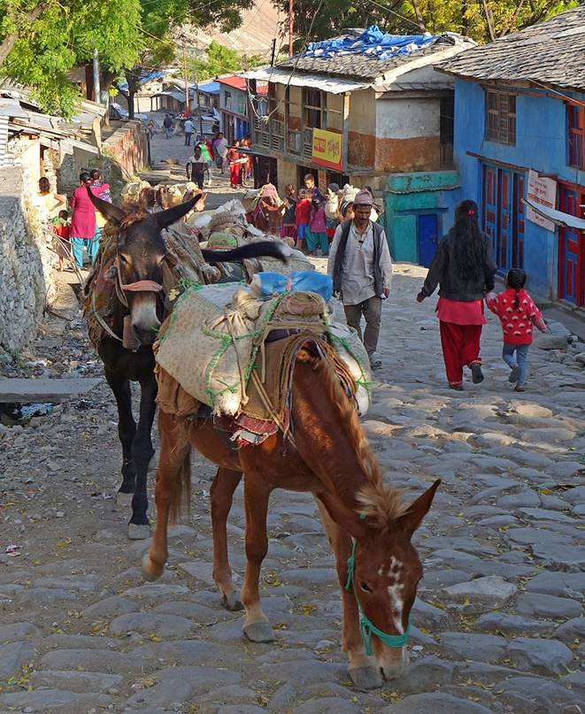
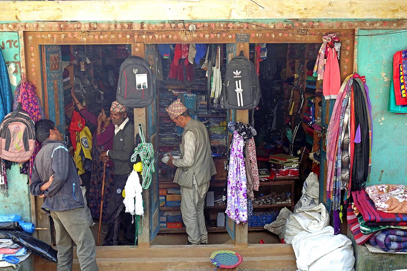
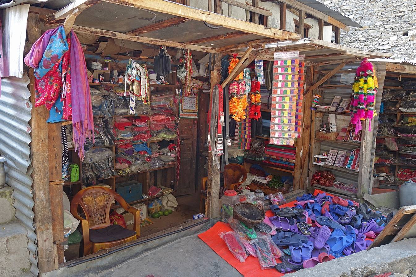
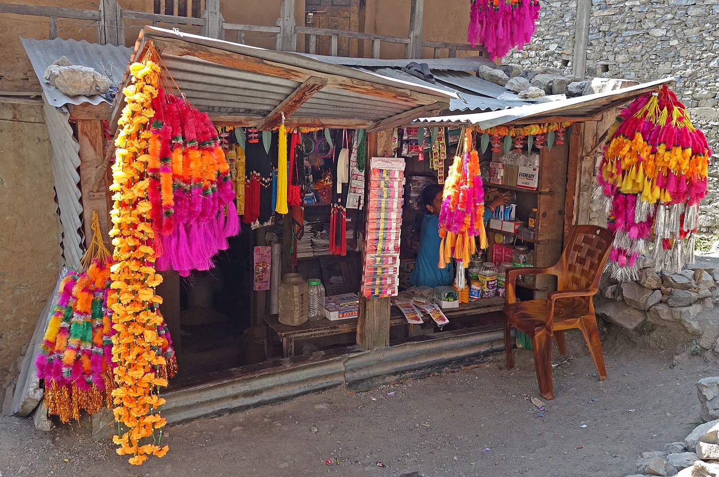
In the main street of Kolti.
|
|
|
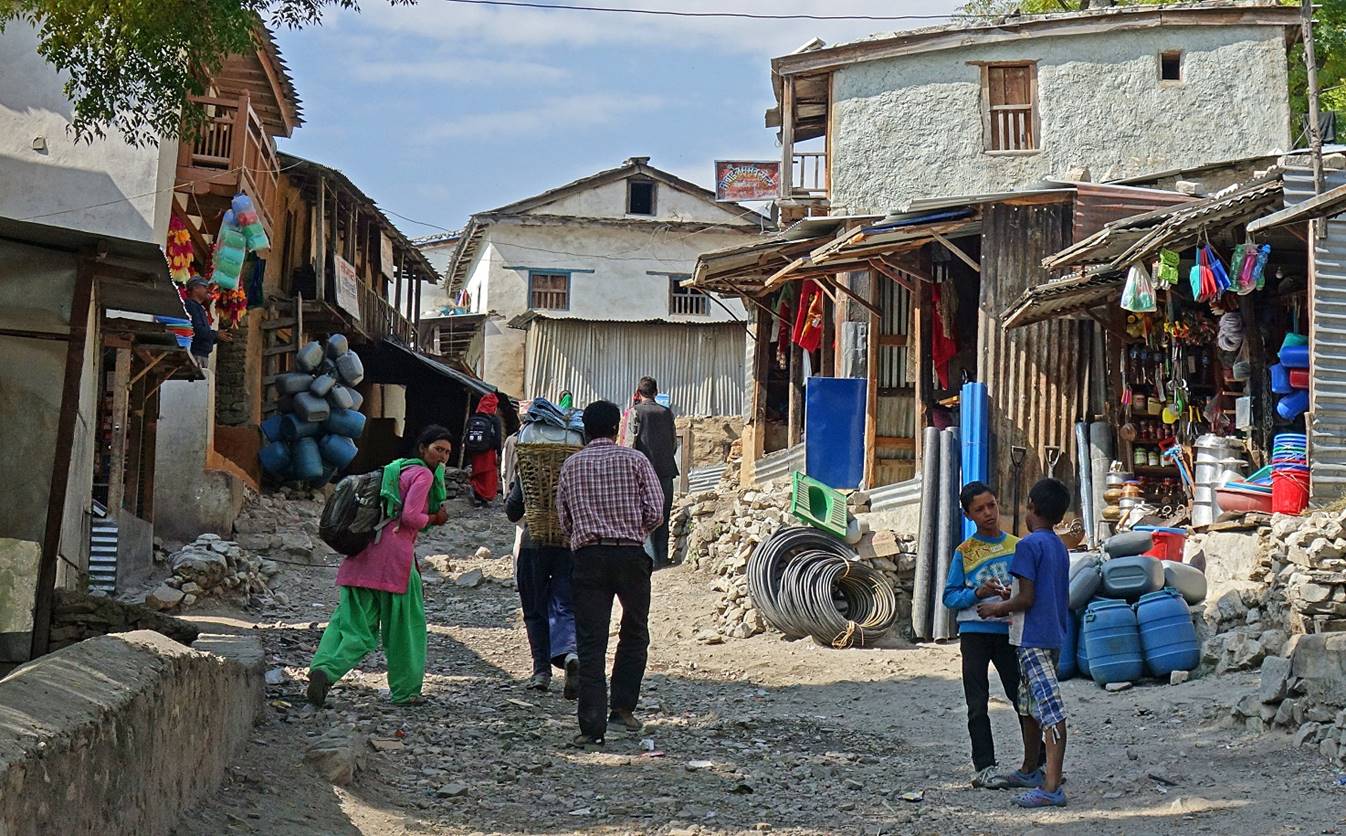
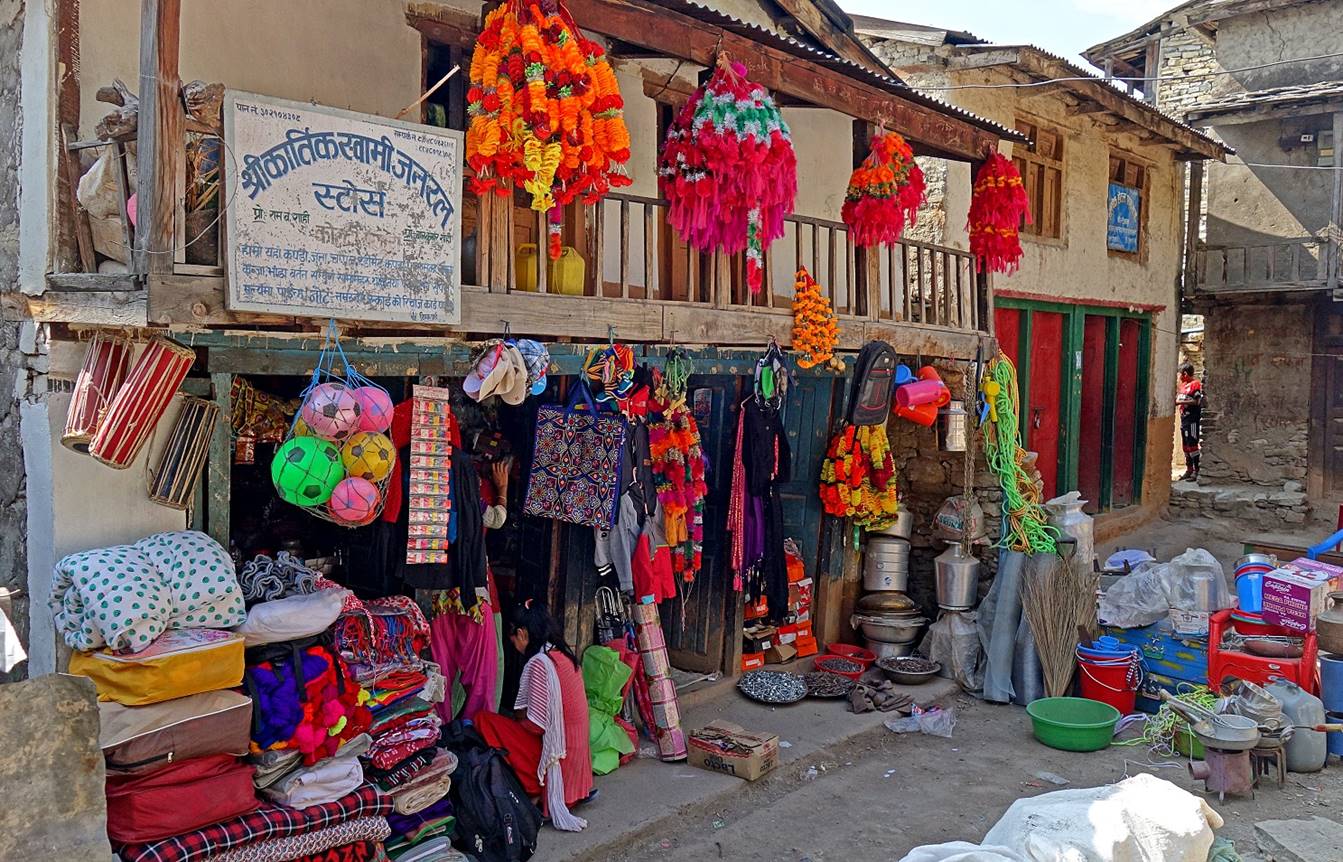
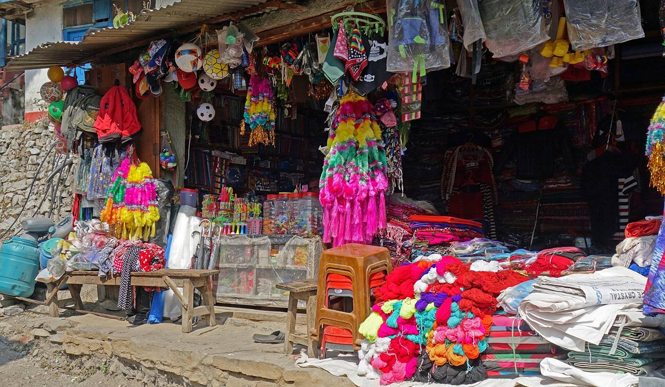
Shops in Kolti, some selling colorful decorations for the Diwali festival.
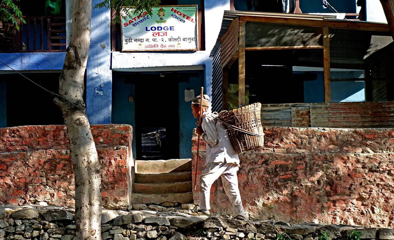
Man passing in front of our lodge in Kolti.
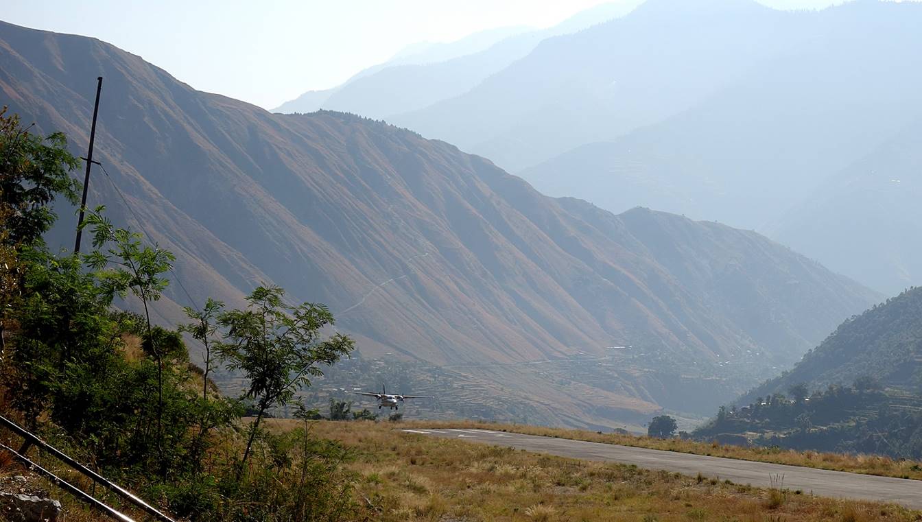
We spent one night in Kolti. On the next morning we flew first to Nepalgunj, then to Kathmandu.
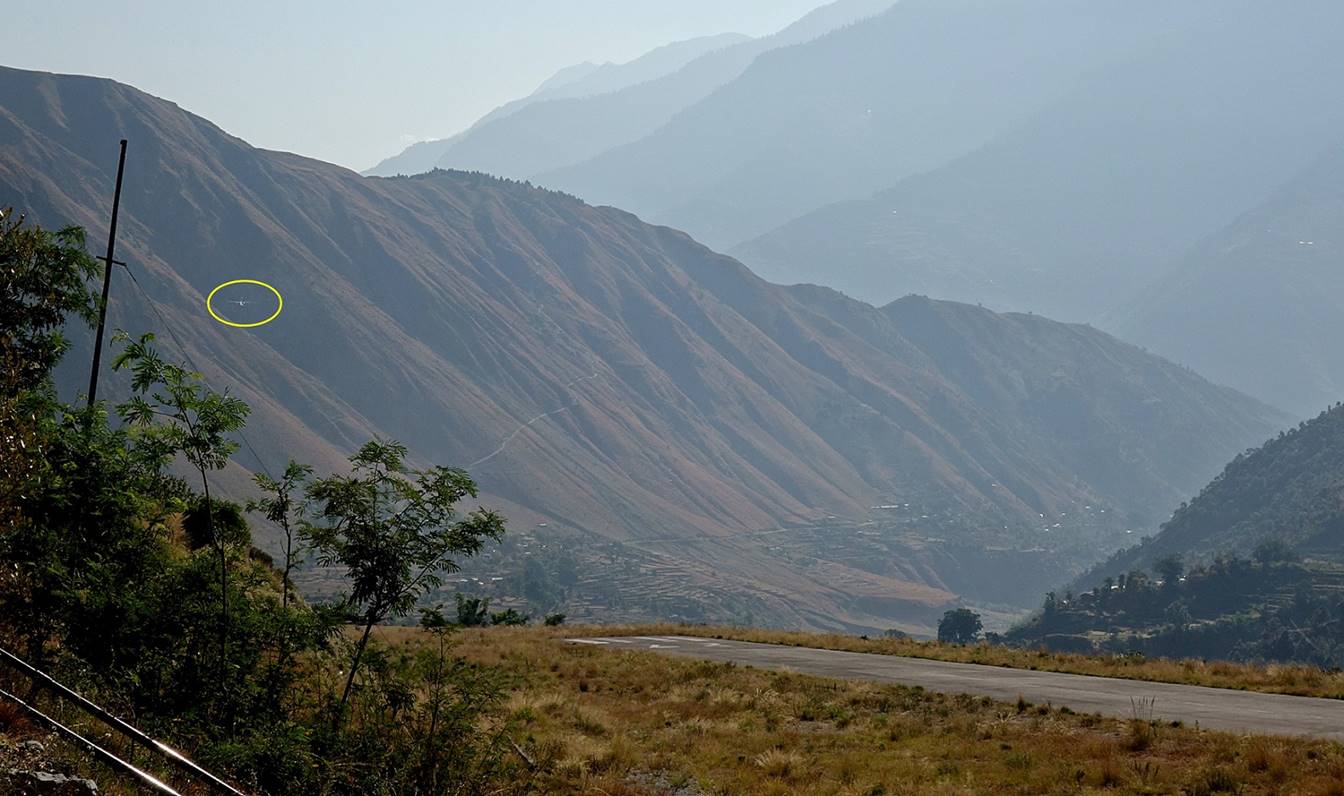
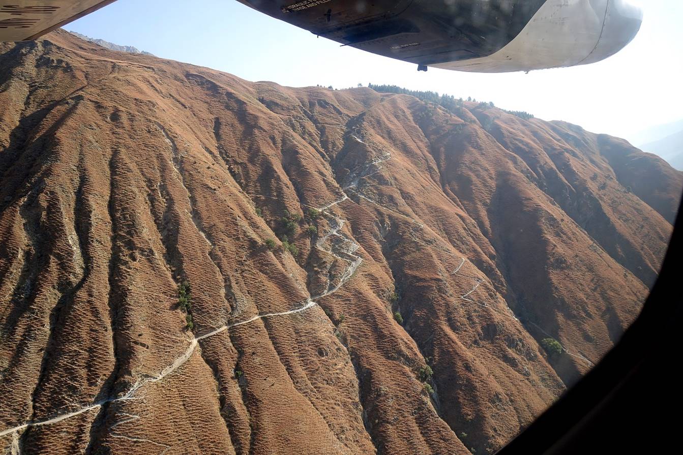
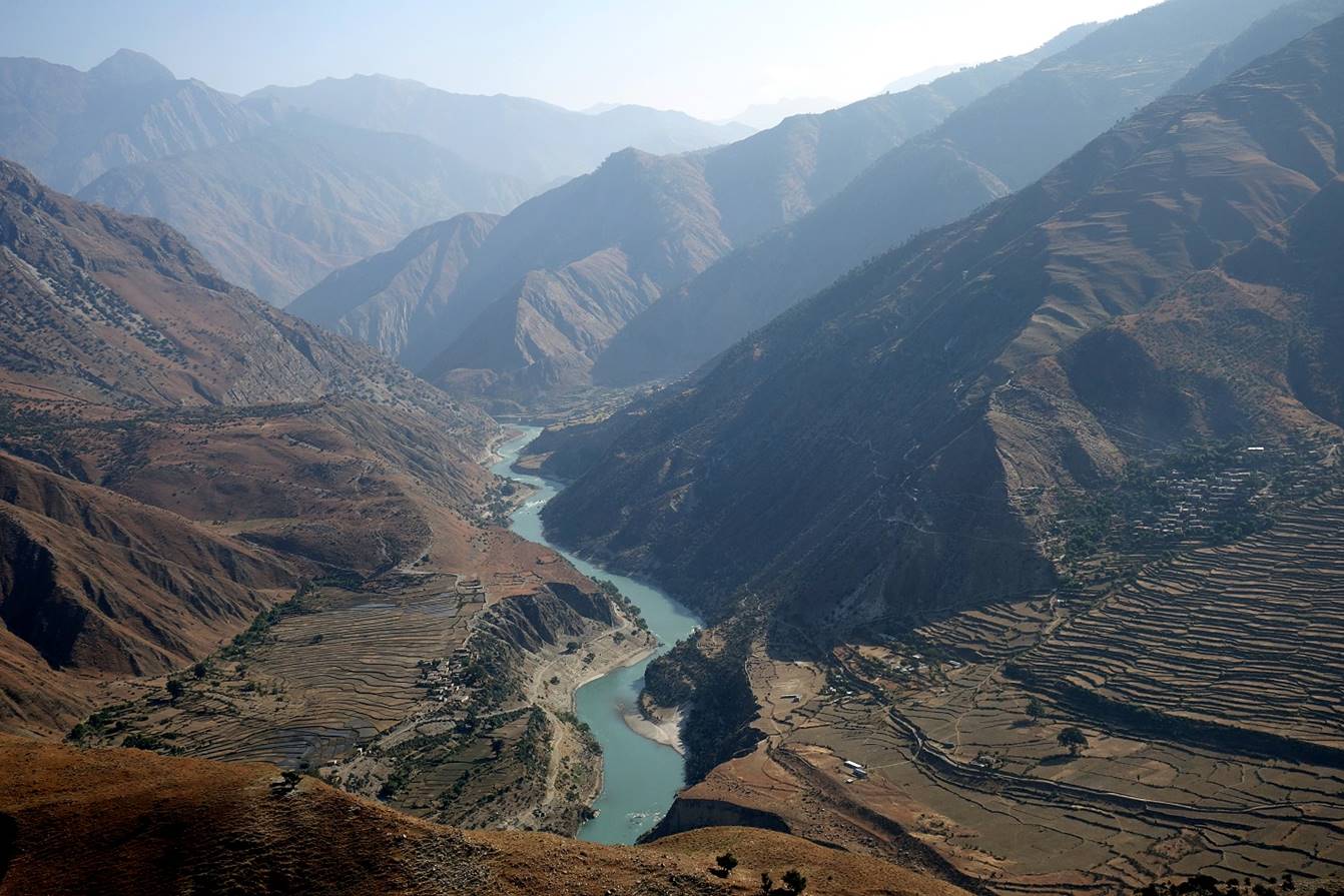
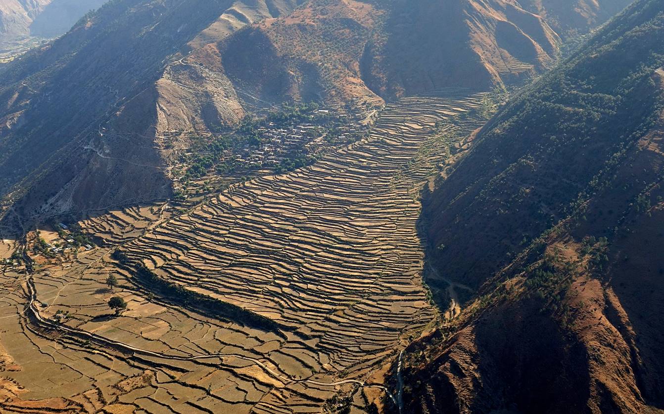
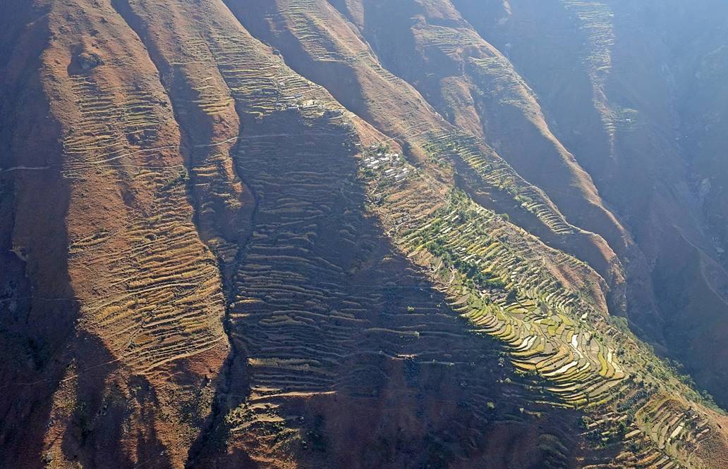
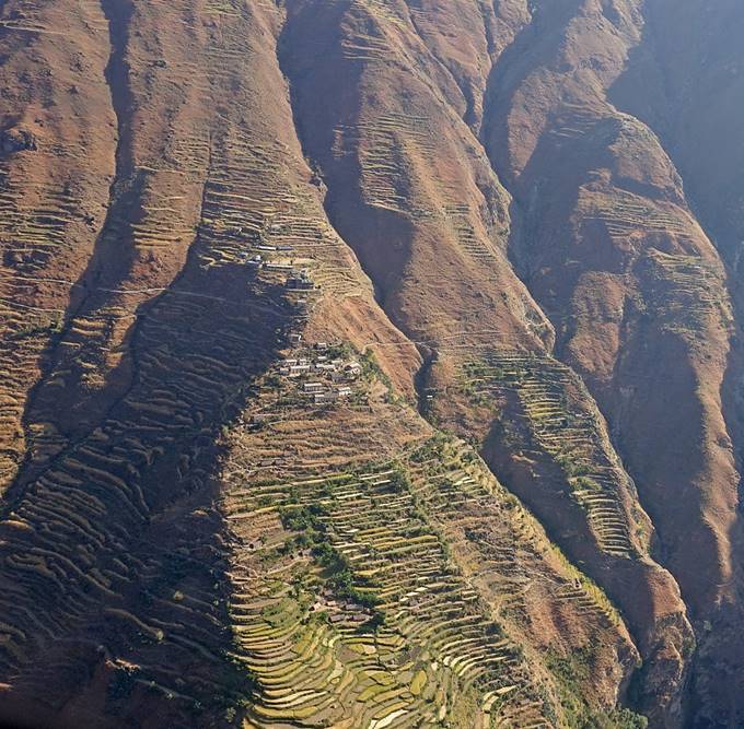
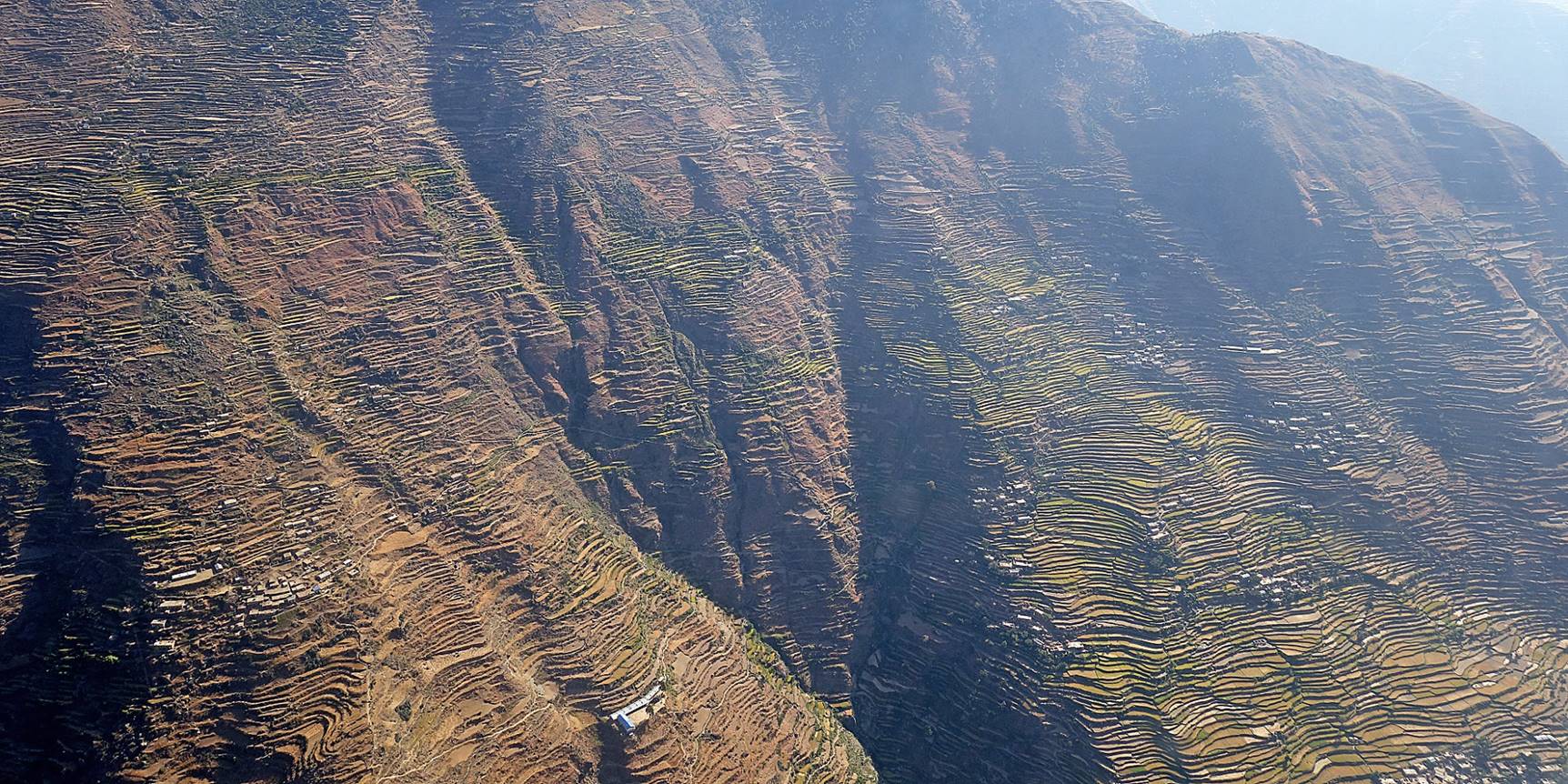
Our plane landing in Kolti. The two photos below face east, with the Kunda Khola valley in the forefront and the Karnali Nadi valley further back. Both landing and taking off require the pilot to make a sharp turn to switch between the two valleys.
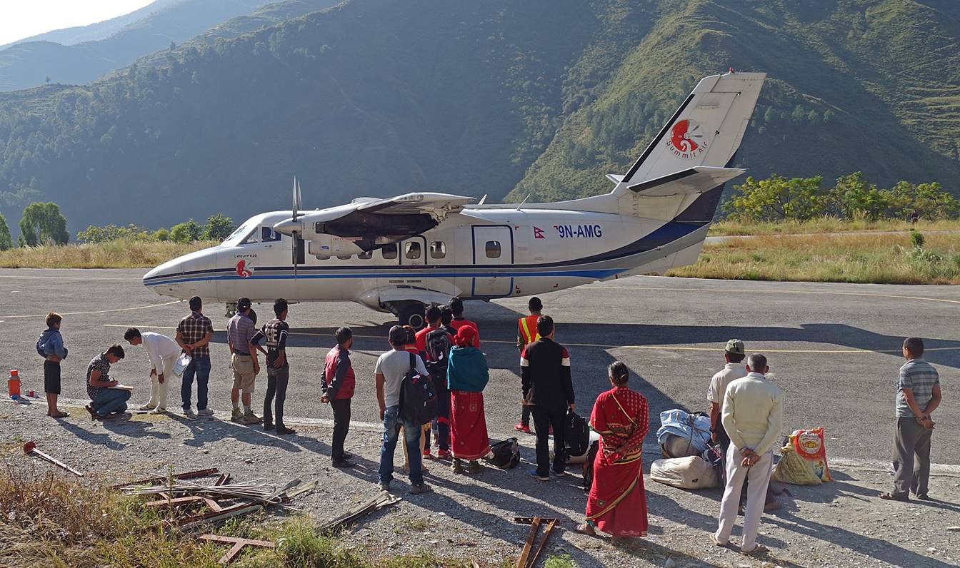
Waiting to go on board.
Views from the plane soon after taking off:
- of the Kunda Khola valley,
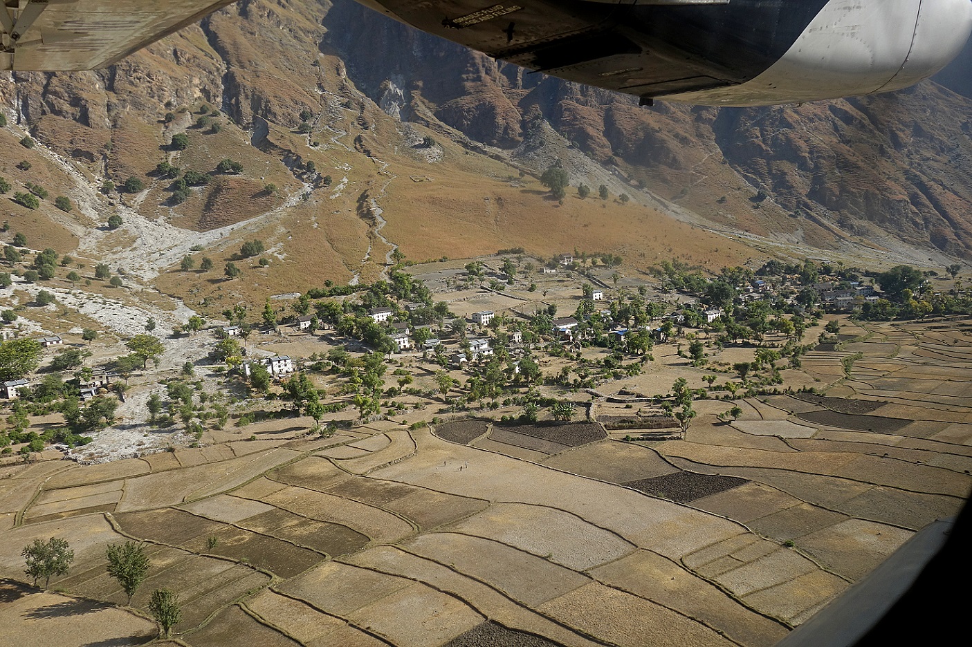
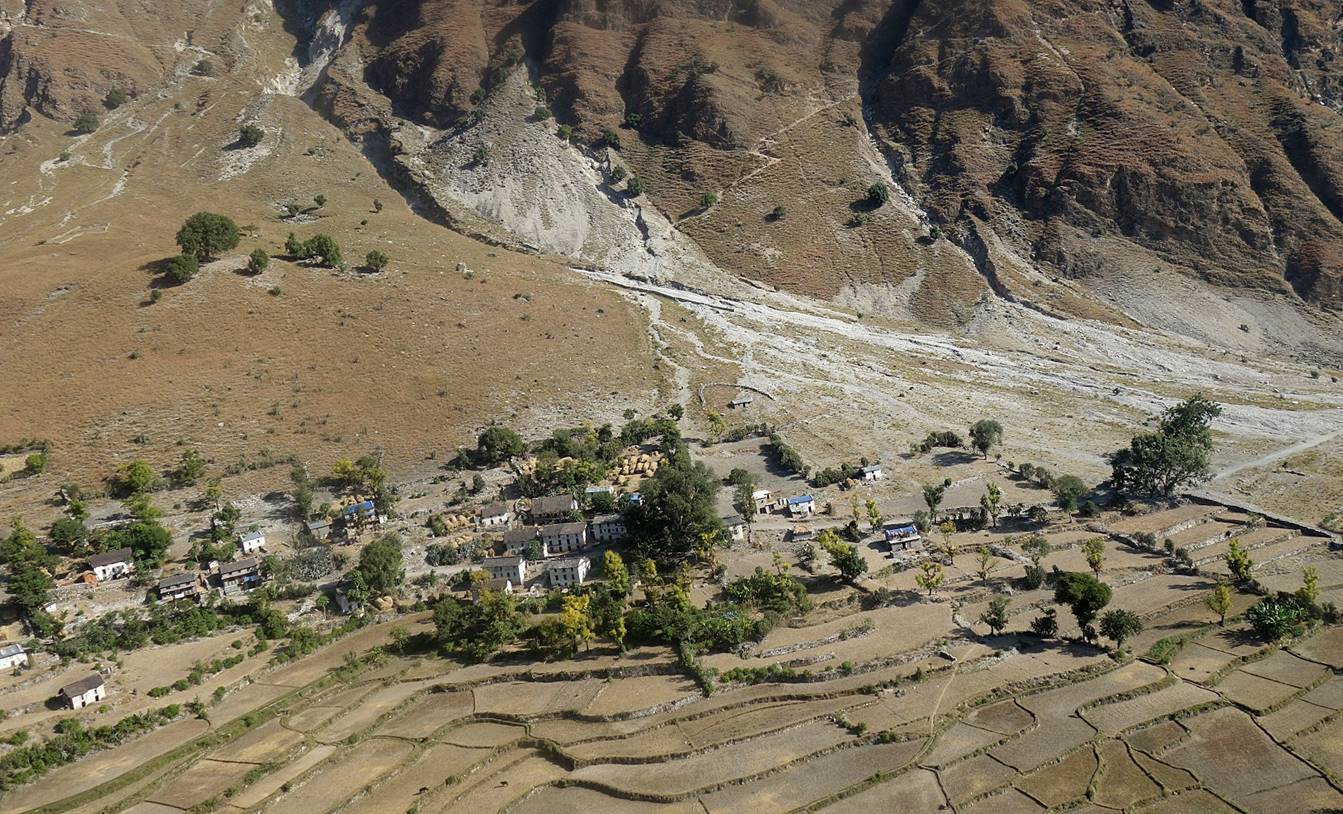
- the ridge on the northern side of the Kunda Khola valley,
- the Karnali Nadi valley (looking toward the north),
- and stunning terraces overlooking Karnali Nadi (photos facing east).
|
|
|
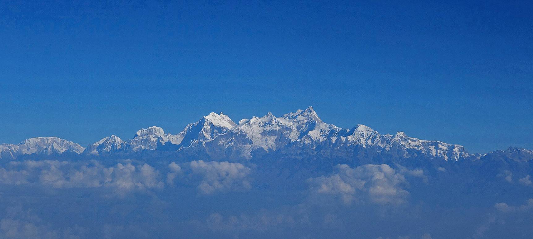
High peaks seen from the plane between Nepalgunj and Kathmandu.
Reaching in Kathmandu.
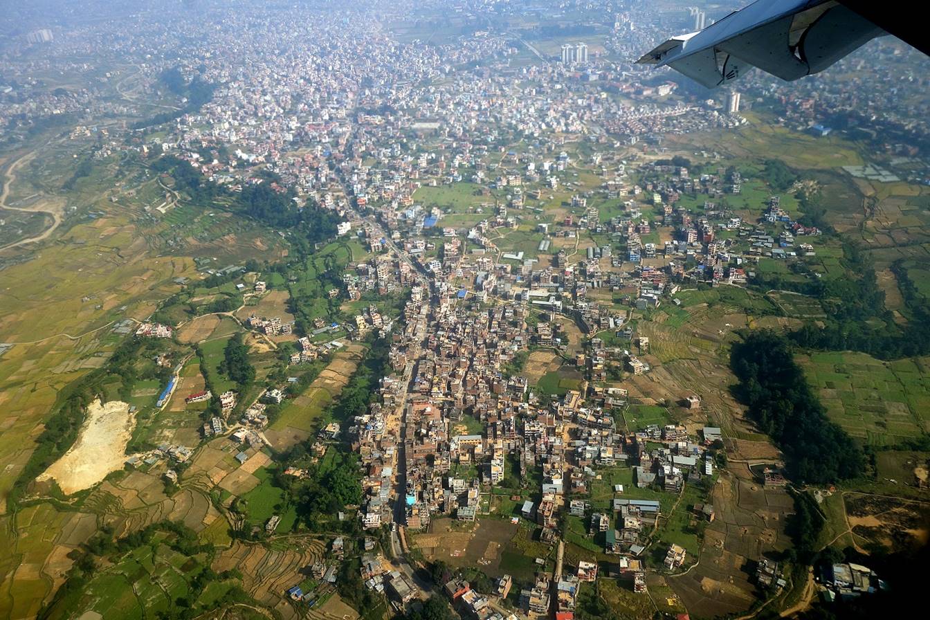
[The long road in the middle of this photo is Sadbato-Tikabhairab road.]
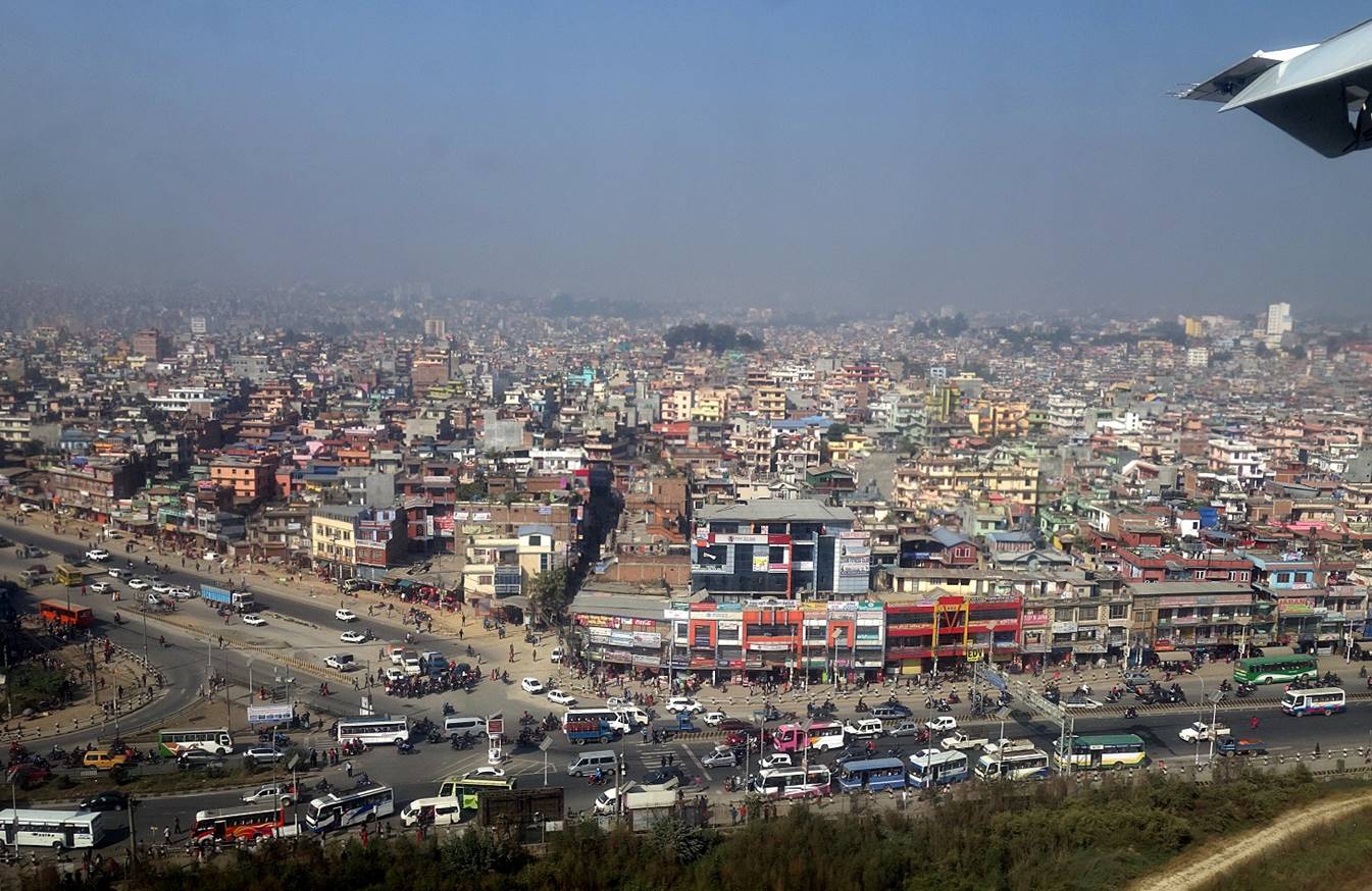
[Intersection of the Ring Road and the Aranko Highway near the southern end of the airport runway.]
![]()