Nepal (October 2023): An Unplanned Mini-Trek South of Simikot
1. Nepalgunj to Simikot and Simikot to Kermi
![]()
Return to main Nepal 2023 webpage | Return to my mountaineering/trekking/travel webpage
Click here to see the map of the
trekking route (yellow dotted line) in a separate window.
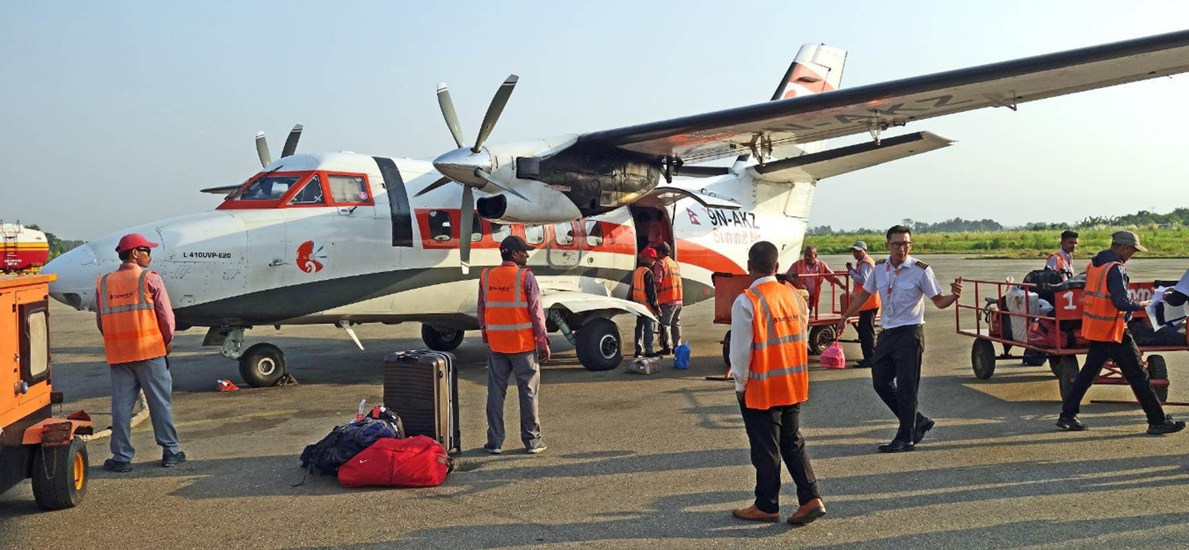
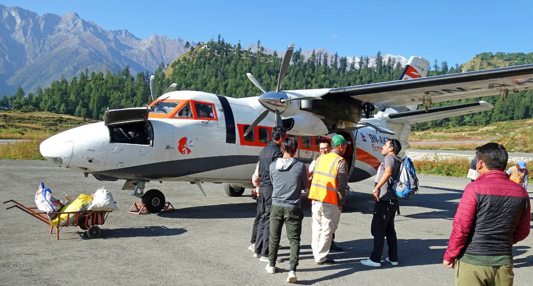
At Nepalgunj airport, loading of the
Summit Air plane bound to Simikot
shortly before takeoff.
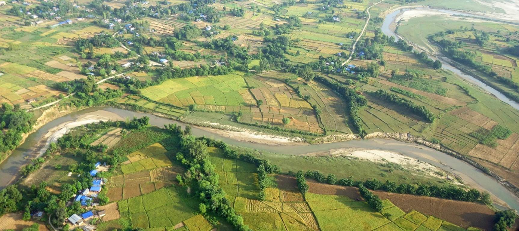
Views over
rice fields from the plane just after takeoff.
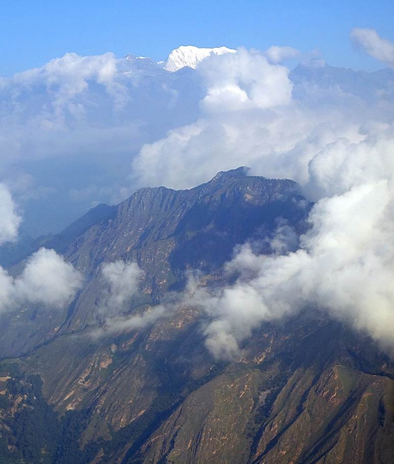
Glimpses of
Mount Saipal barely emerging from a thick cloud
layer.
|
|
|

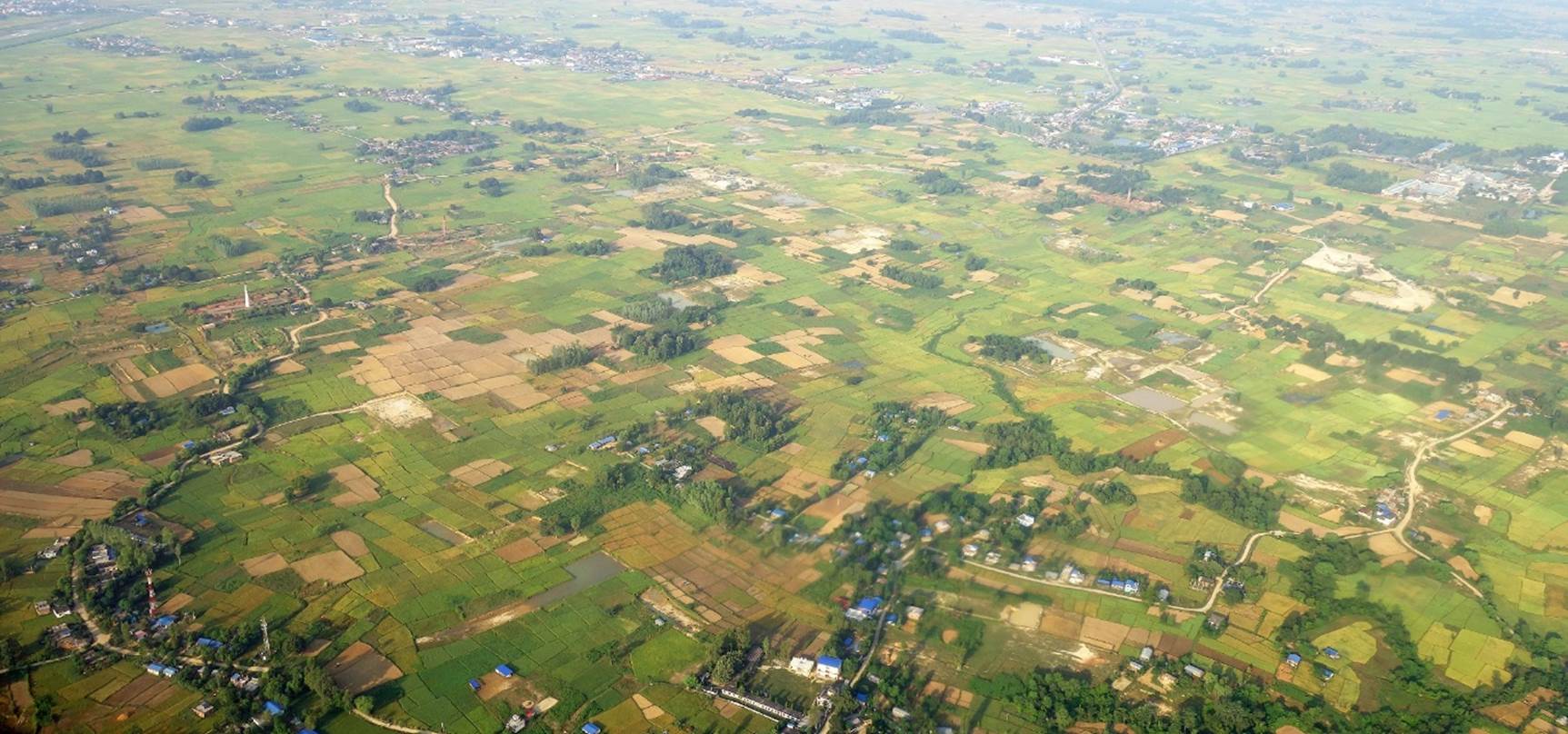
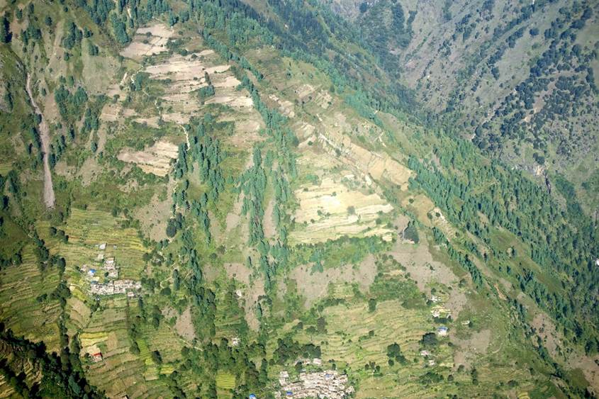
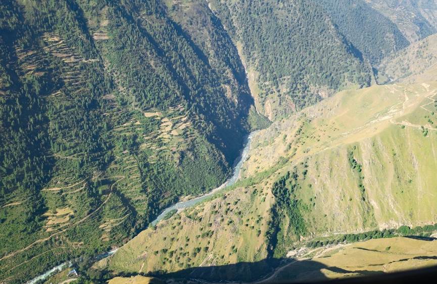
Left : Villages surrounded by terraced fields, shortly
before reaching Simikot. Right: View over the Humla Karnali Nadi (river) before
landing in Simikot.
|
|
|
The Summit Air plane at Simikot airport.
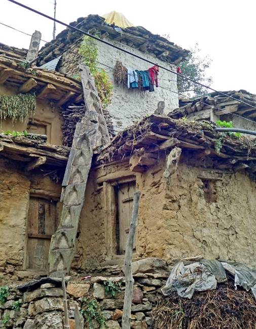
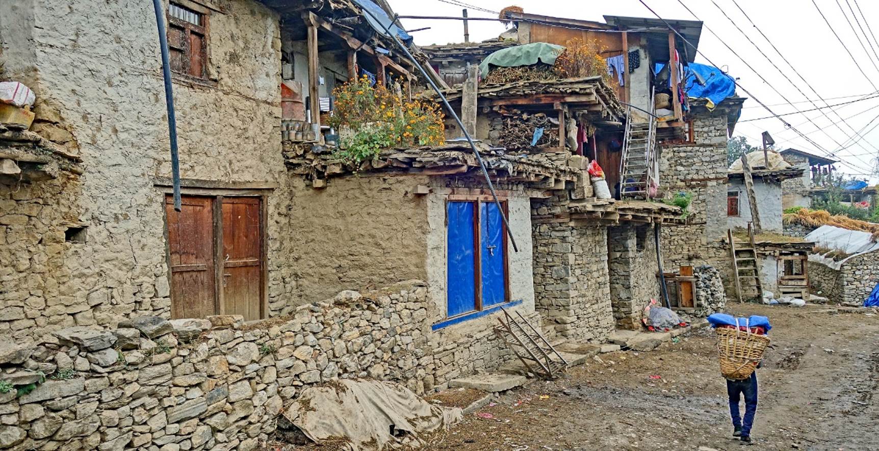
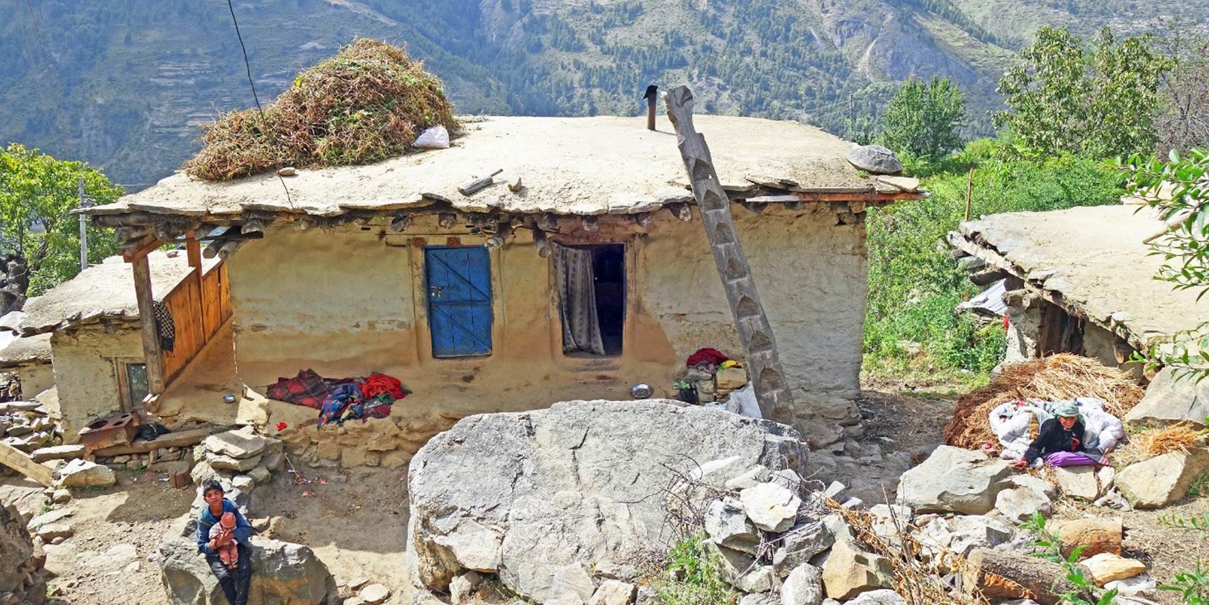
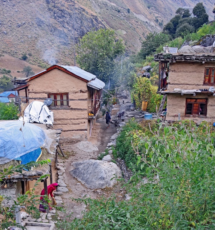
Traditional
houses in the old neighborhood of Simikot,
|
|
|

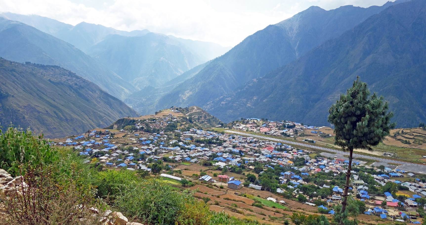
View over Simikot and its airport.
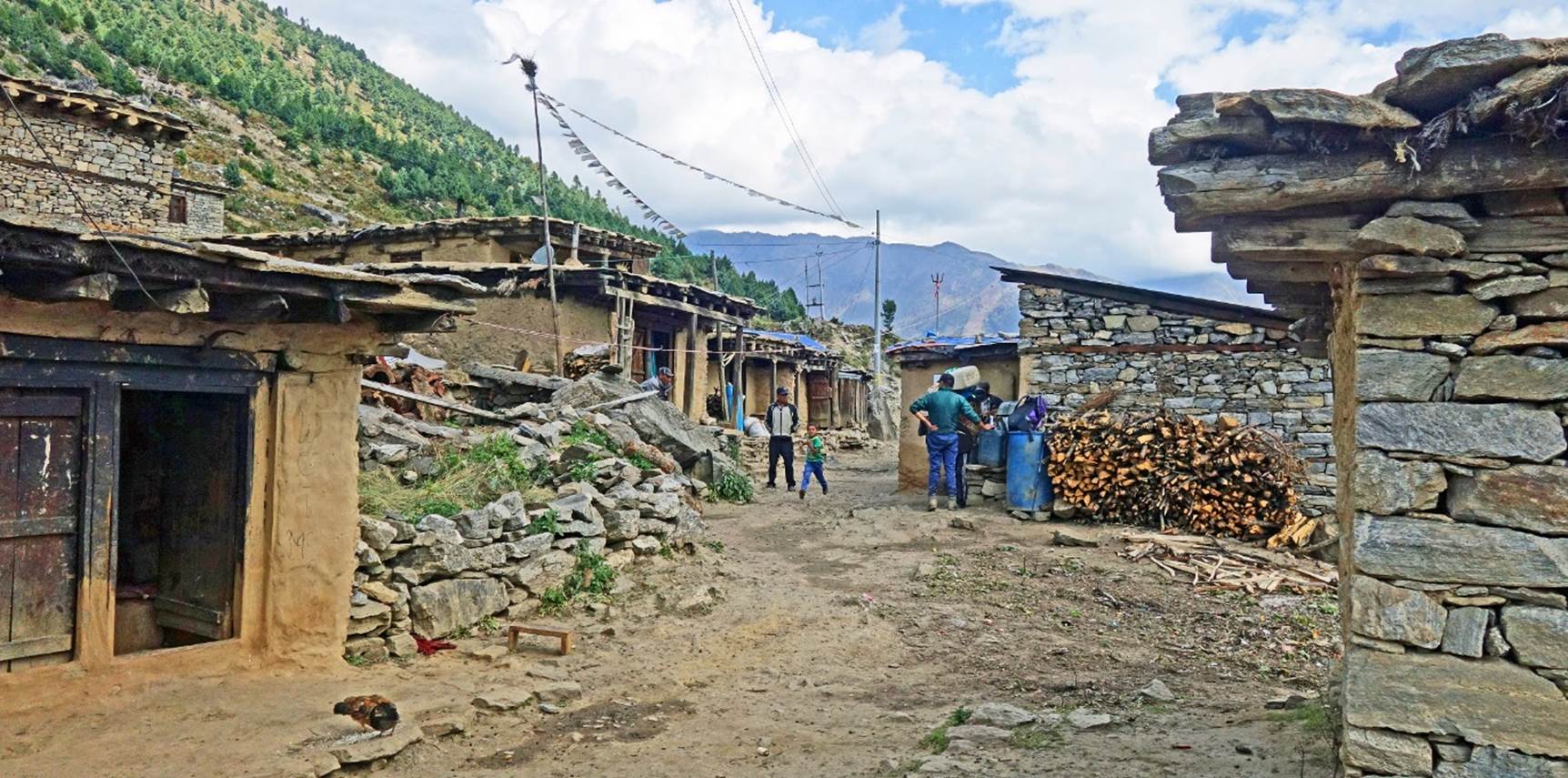
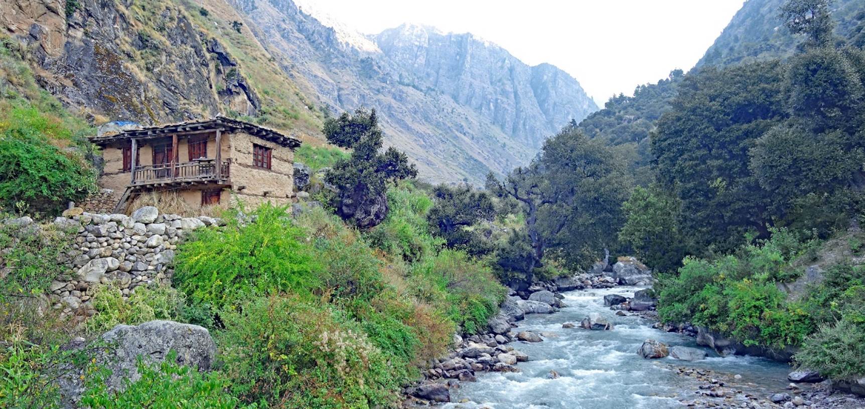
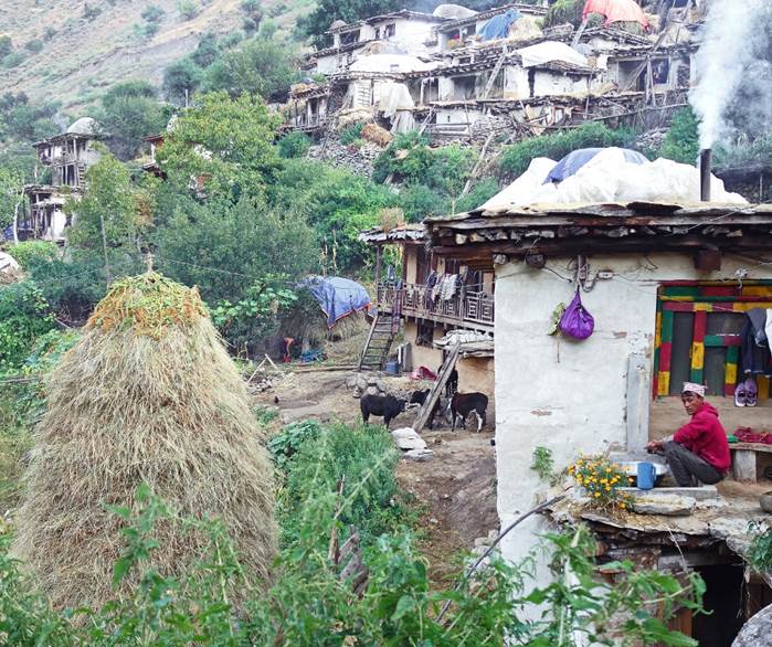
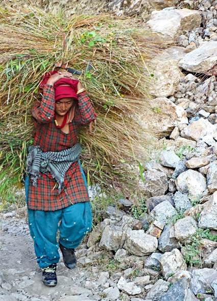
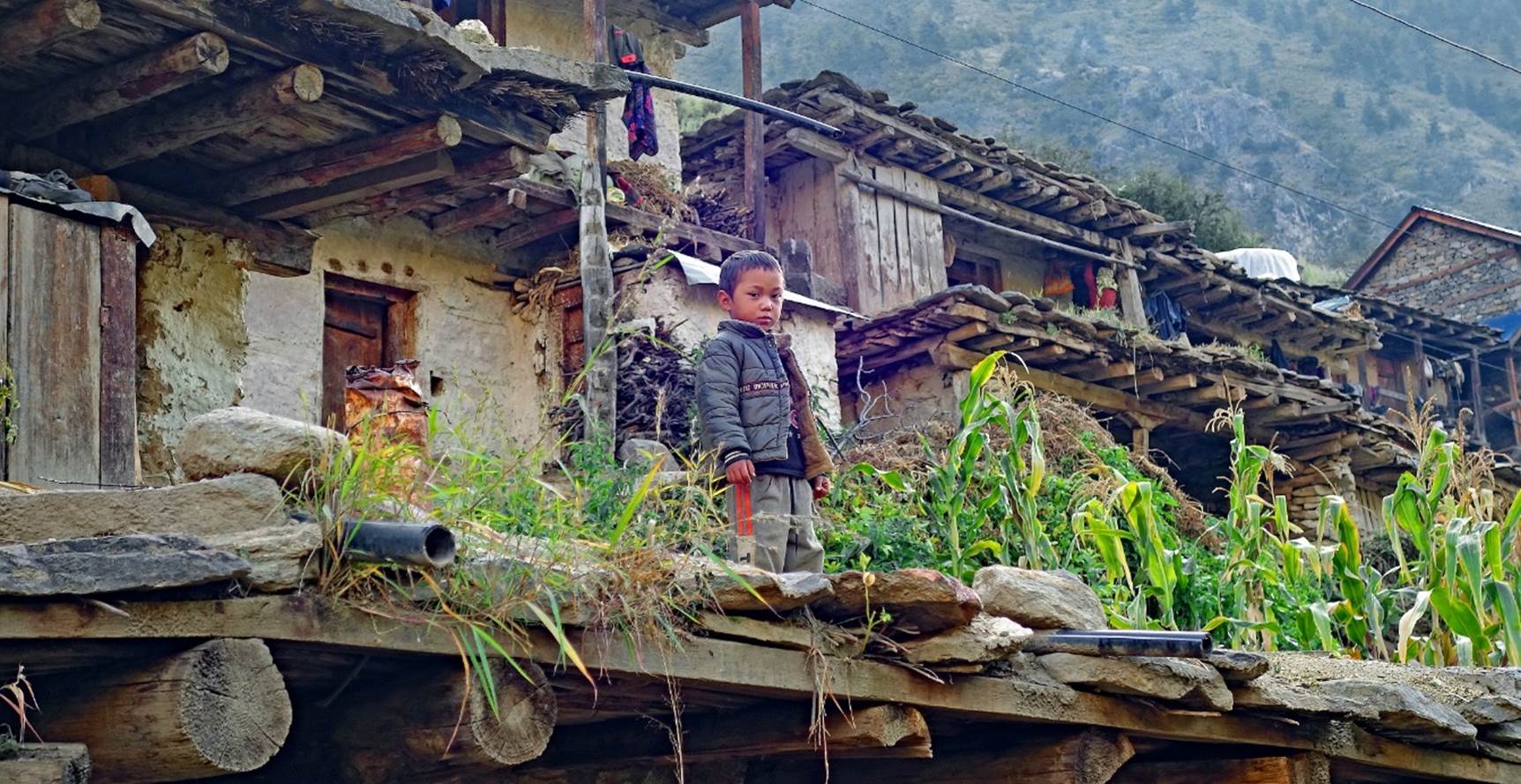
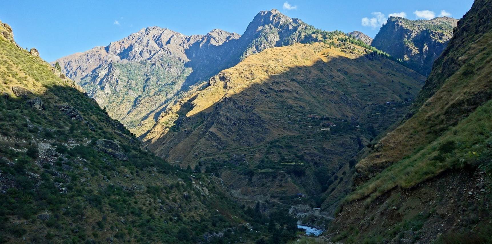
All the photos
below were taken between Simikot and Kermi. I did not keep track of their precise locations.
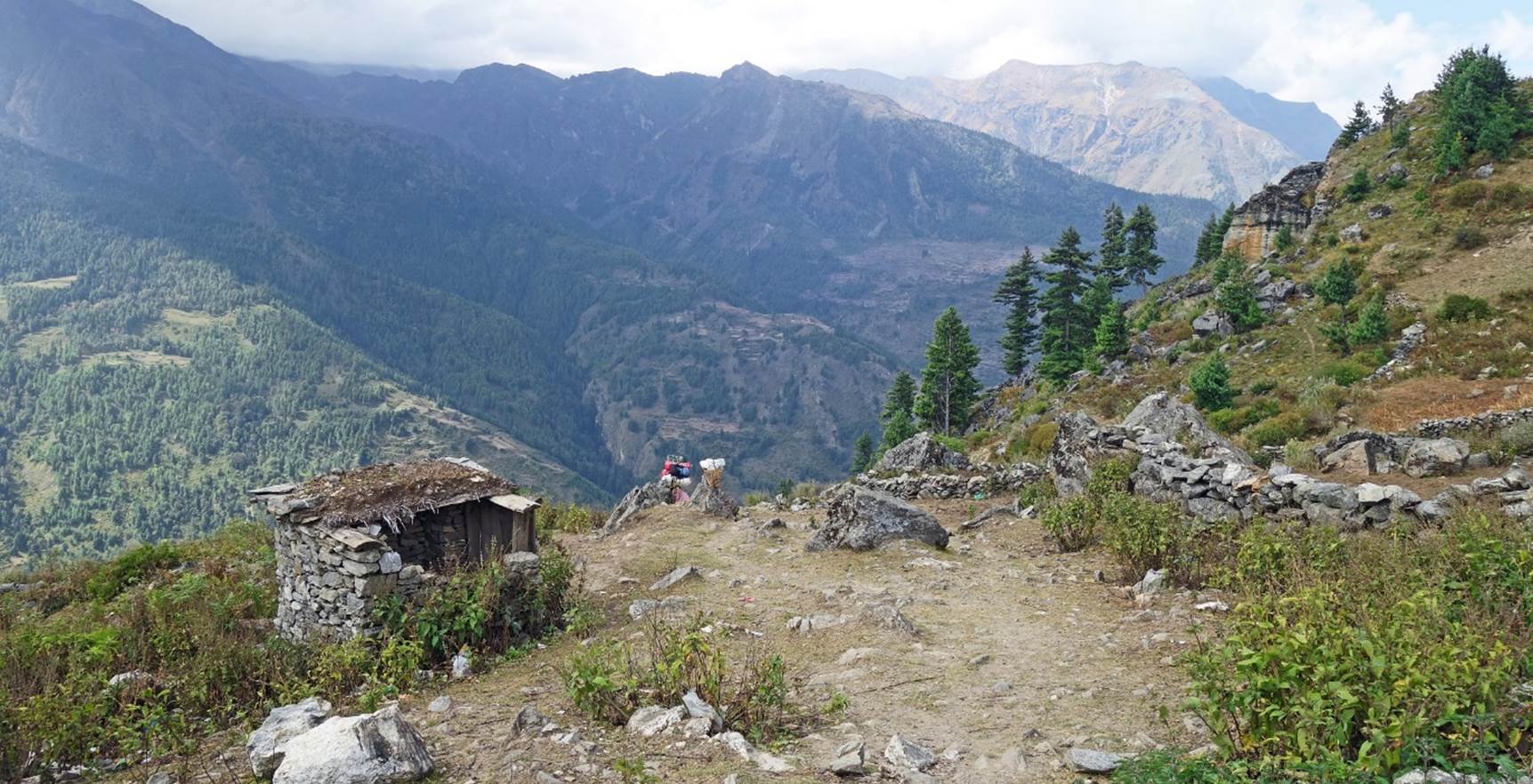
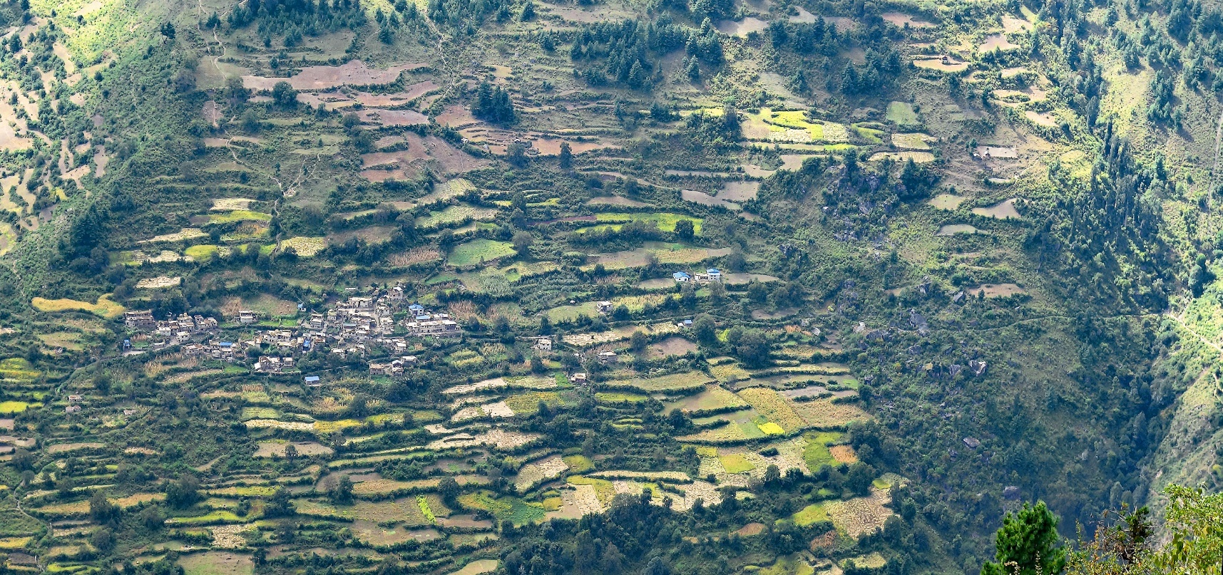
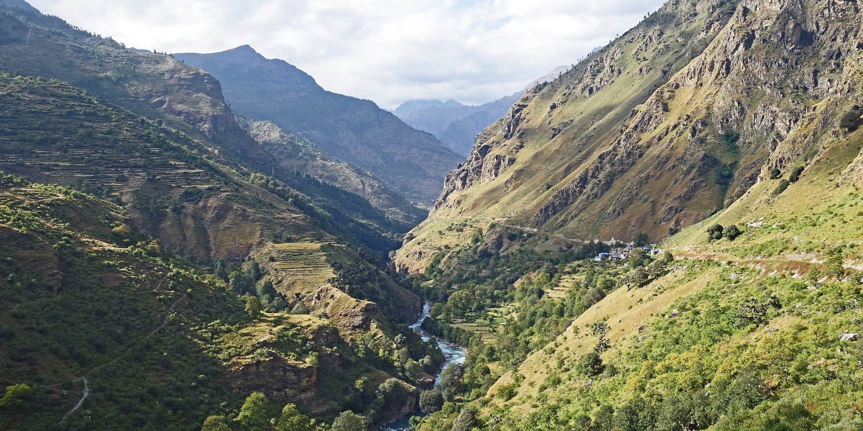
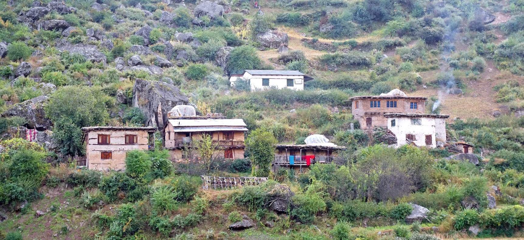
Village and
terraced fields on the south (right) side of the Humla
Karnali Nadi.
|
|
|

|
|
|

|
|
|
|

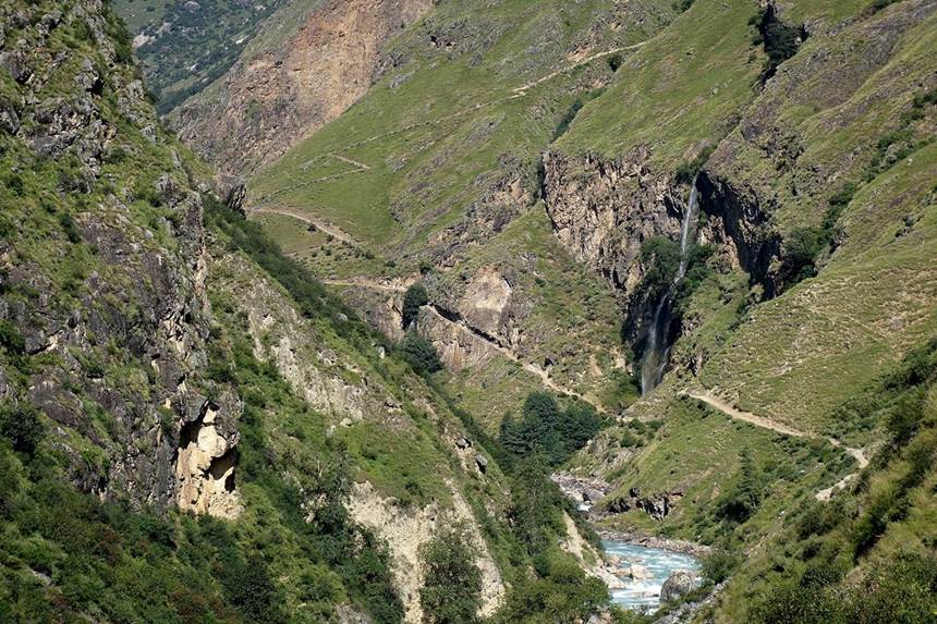
I took the two
photos below in October 2017 along the same trail (see here).
They show what was arguably the most iconic site along the trail between Simikot and the Tibetan border at Hilsa: a tall waterfall
and a trail section carved into a rock cliff.
|
|
|

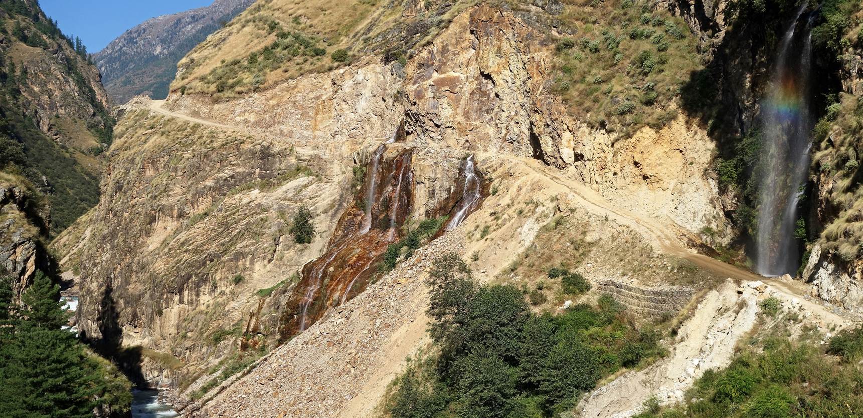
This is a 2023
photo from the same site. The cliff had been dynamited and irreversibly
destroyed to make way for a very dangerous and barely passable (but for how
long?) road.
![]()
Return to main Nepal 2023 webpage | Return to my mountaineering/trekking/travel webpage