Traverse of
Western Nepal (2008)
Leg 3: Seti Khola to Kolti
(September 30 - October 6)
![]()
Return to Traverse
of Nepal main page
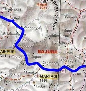
Our initial plan was to
cross the Jugar Danda
mountain range at the level of Dhuli. But the huge
amount of fresh snow in this range (that we saw while descending from Therdole pass) discouraged us. We were also several days
late relative to our initial schedule. So, we decided to cross Jugar Danda near its Southern
end, where it has lower elevation. So, we trekked down along Seti Khola river
until Talkot village. There, we turned East and we
crossed Jugar Danda by a
series of three passes to reach the small town of Kolti.
Click
here
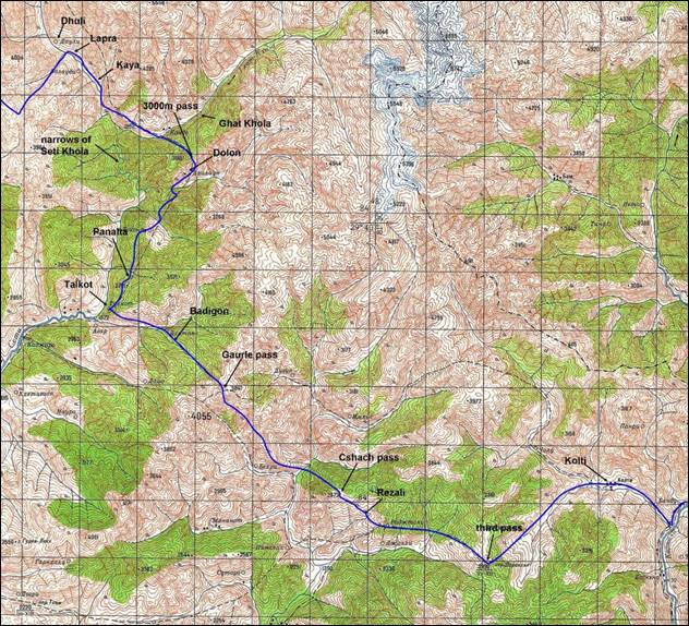
to get the full-resolution image of the topographic map shown below
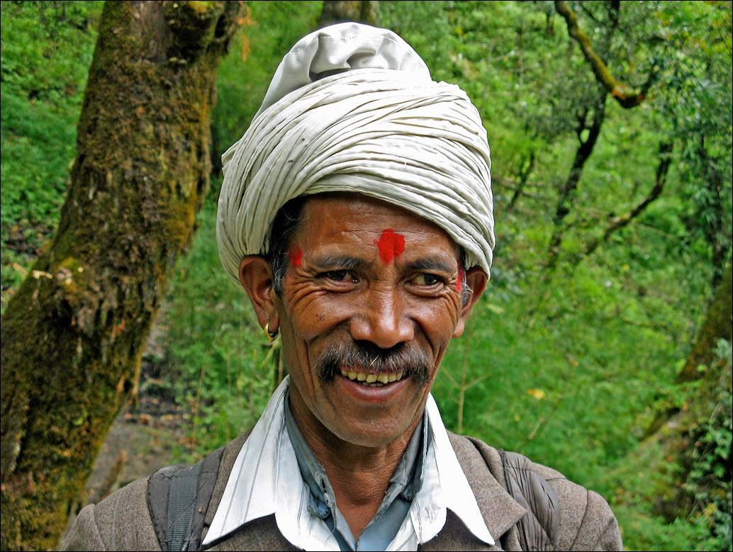
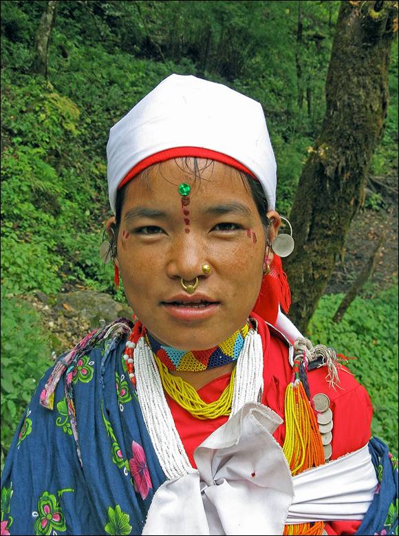
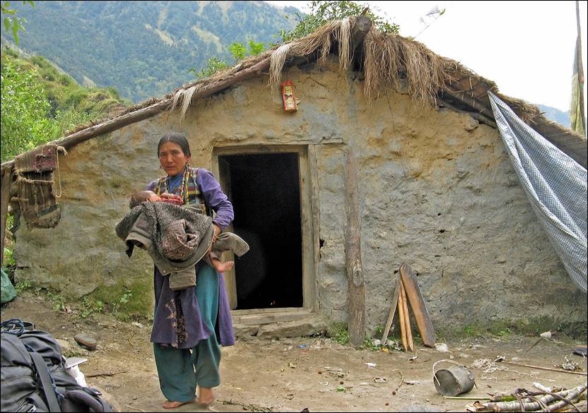
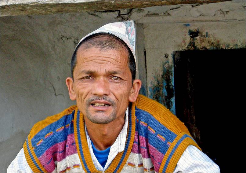
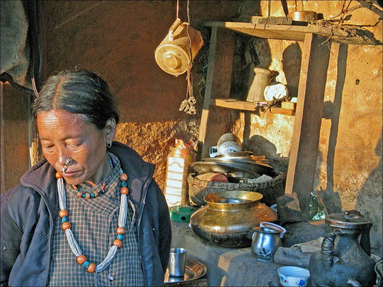
Man and woman from Dhuli.
|
|
|
In the small Tibetan village of Lapra south of Dhuli.
|
|
|
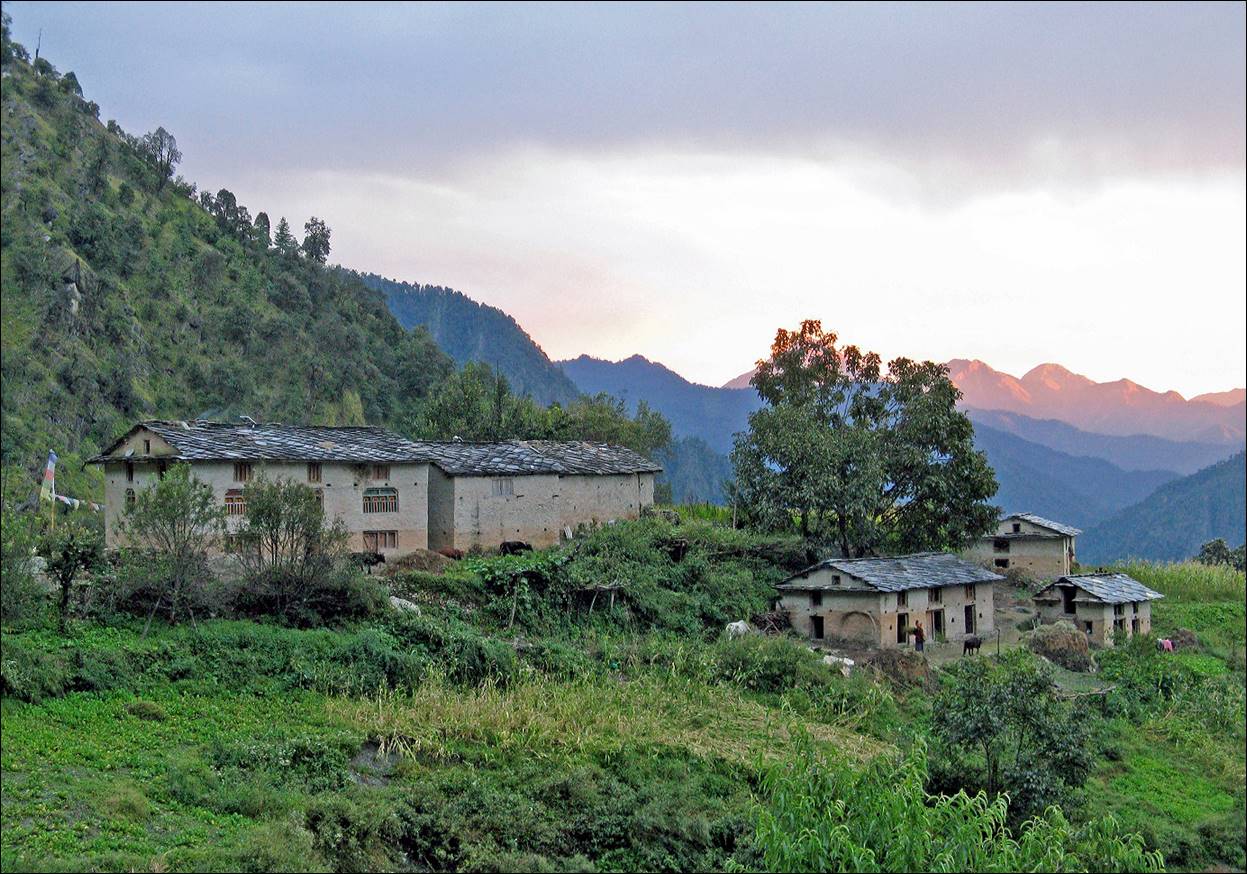
Kaya village, where we spent a night.
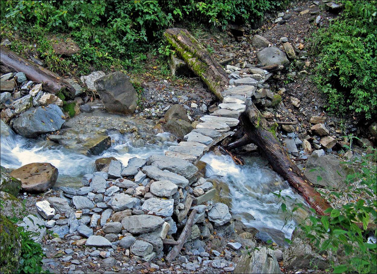
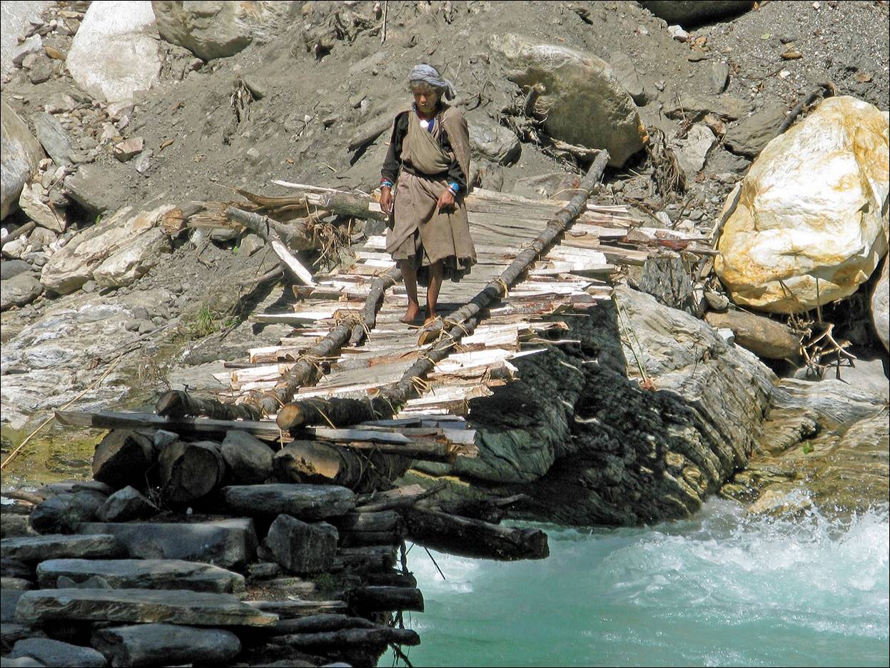
Nice small bridge along the way.
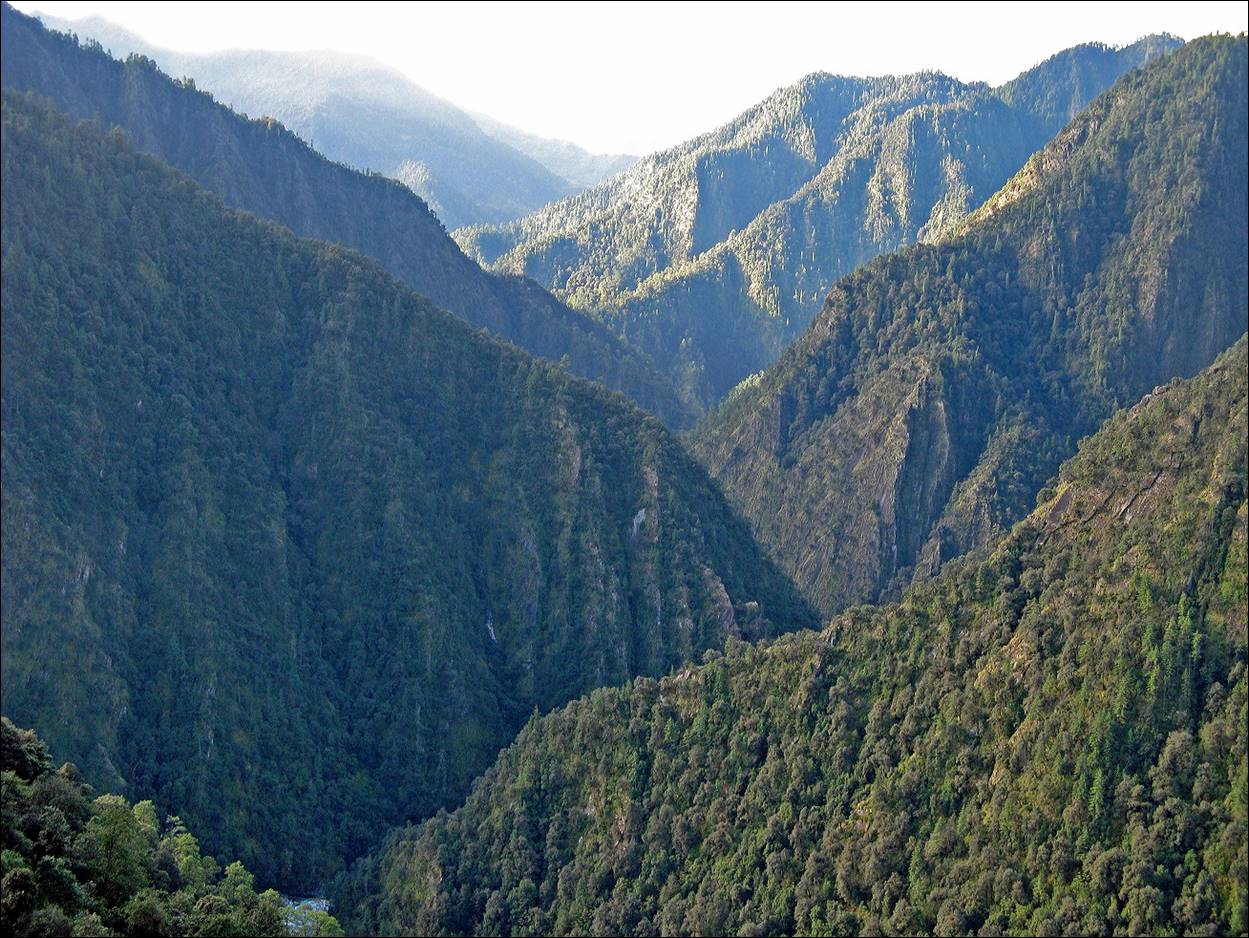
Narrows of Seti Khola.
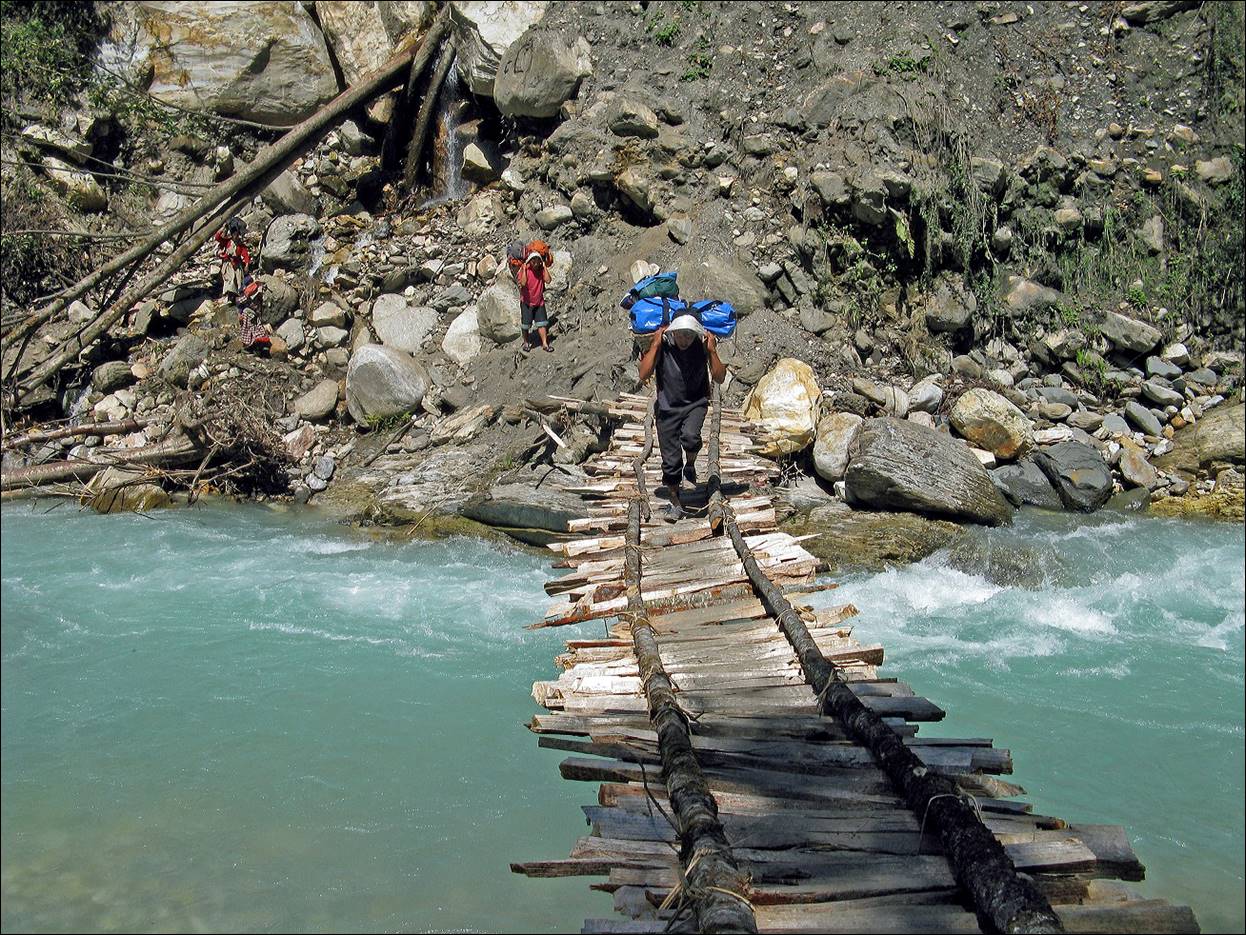
Porters and woman crossing the Ghat
Khola river (an affluent of the Seti
Khola river).
.
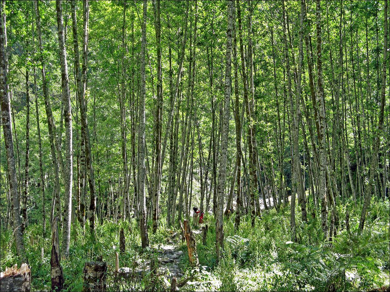
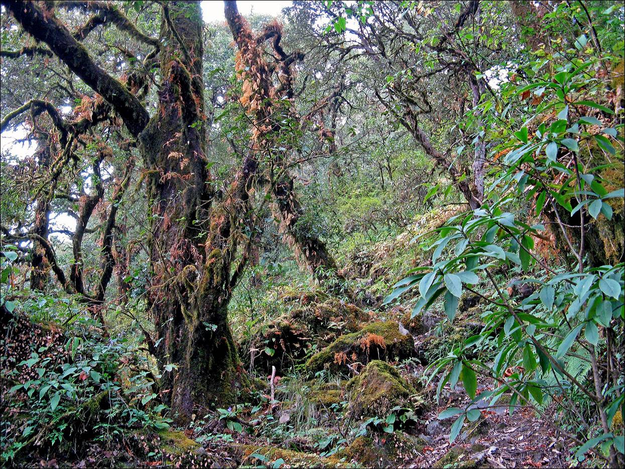
Unusual type of forest (for this region) along the
way.
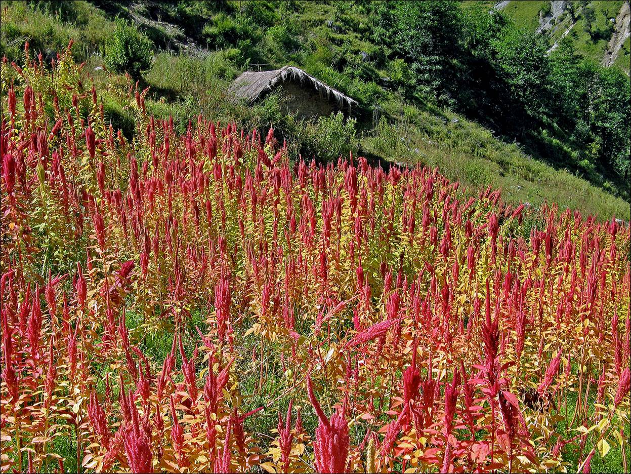
Field of amaranth.
Dolon village.
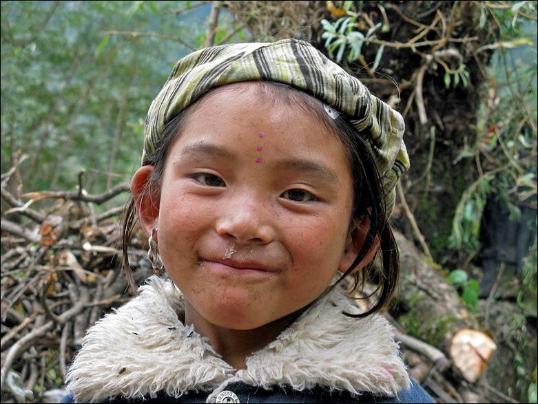
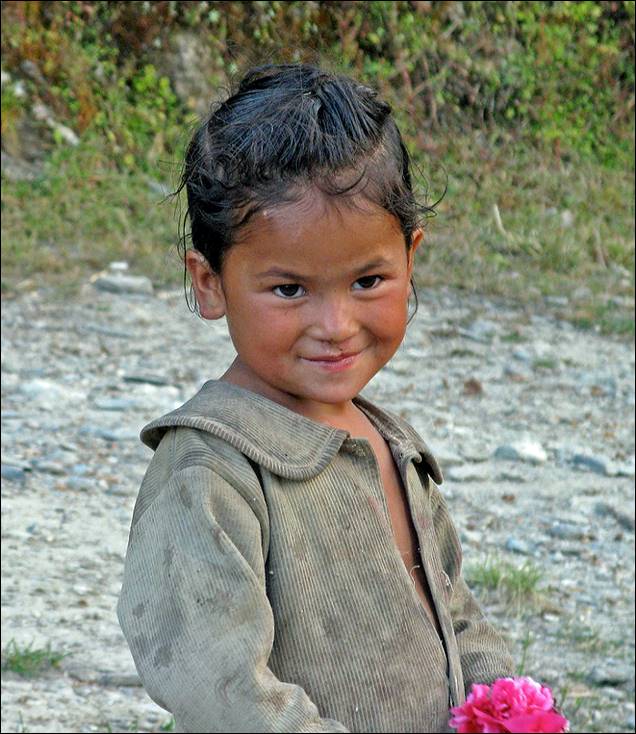
Man and girl from Dolon.
|
|
|
Women in a field below Dolon.
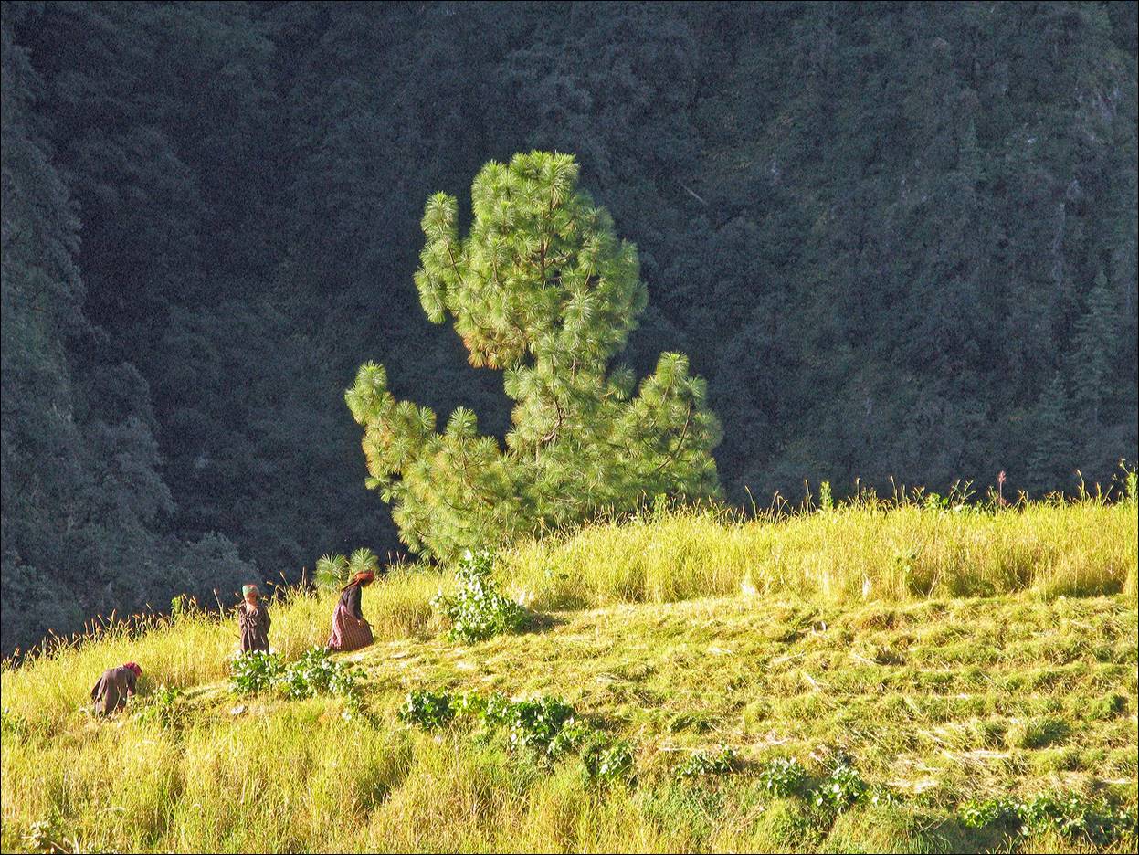
Pine forest below Dolon.
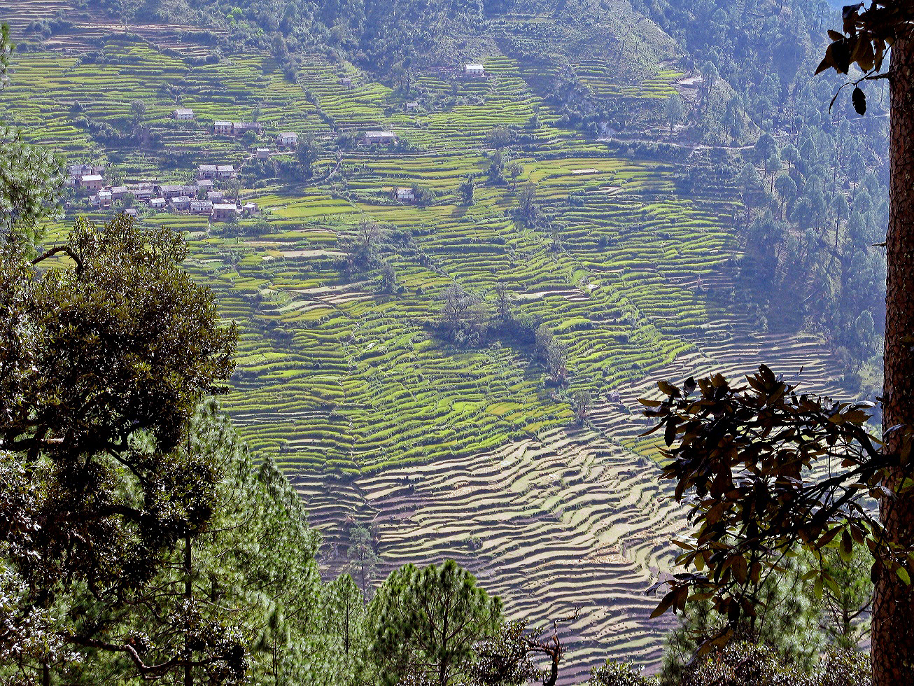
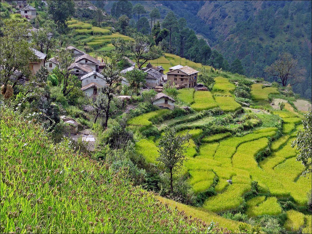
Impressive terraced fields in Panalta
village.
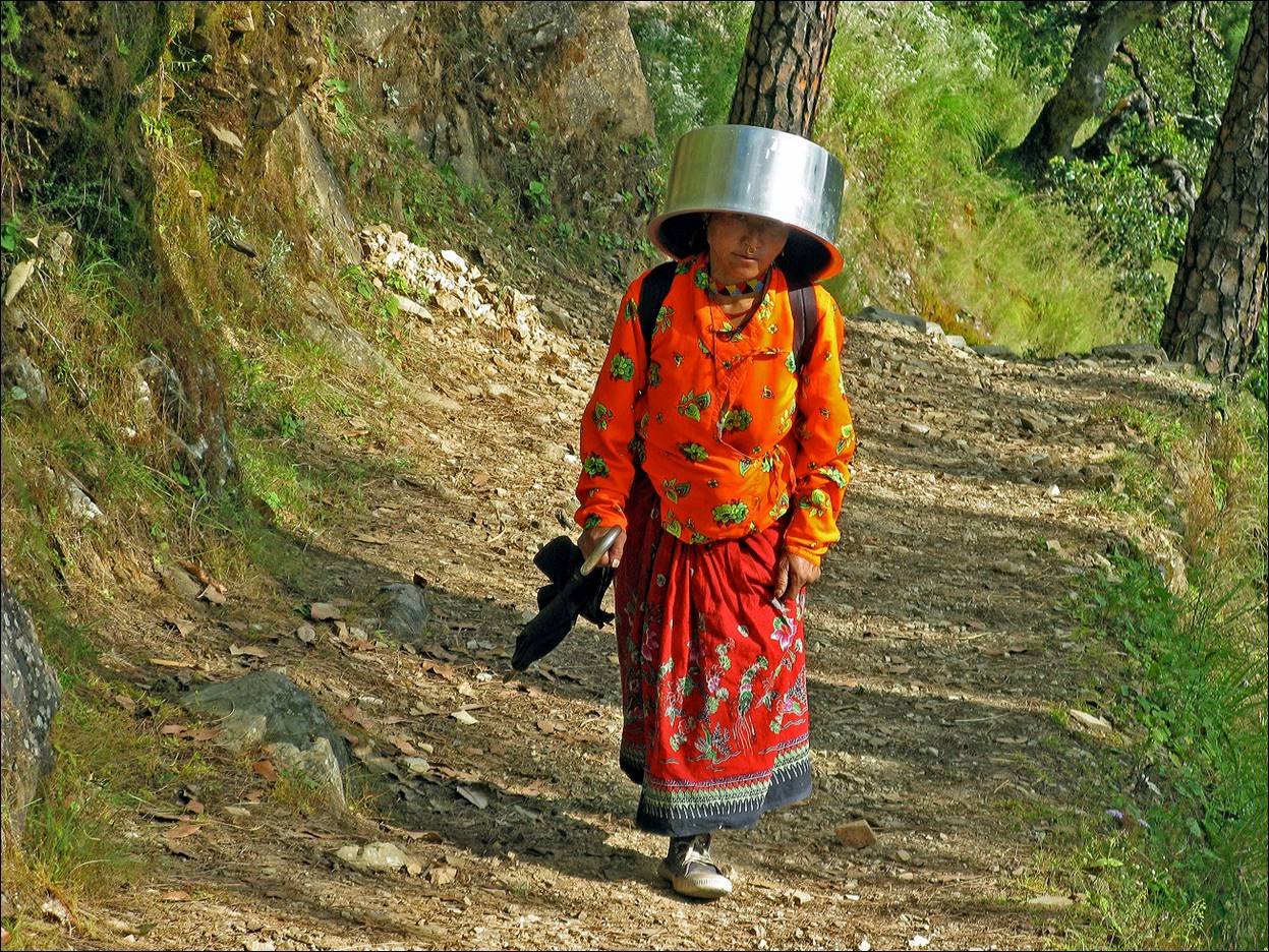
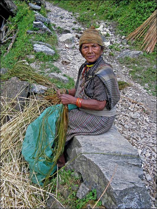
Woman encountered on the trail near Talkot.
In Talkot, we left the Seti Khola valley toward the east
along a smaller river. These 5 photos were taken along this river.
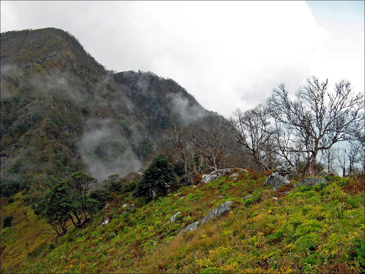
We crossed the southern end of the Jugar Danda mountain range by a
series of three successive passes separated by steep valleys. Gaurle pass (3470m) was the first.
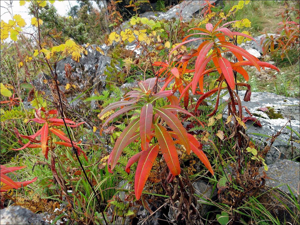
Autumn colors below Gaurle
pass.
On our way to Cshach
pass (2940m).
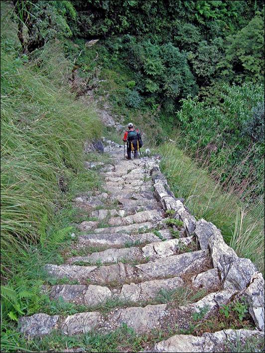
Well-built stone stairs along the trail and woman
below Cshach pass.
|
|
|
|
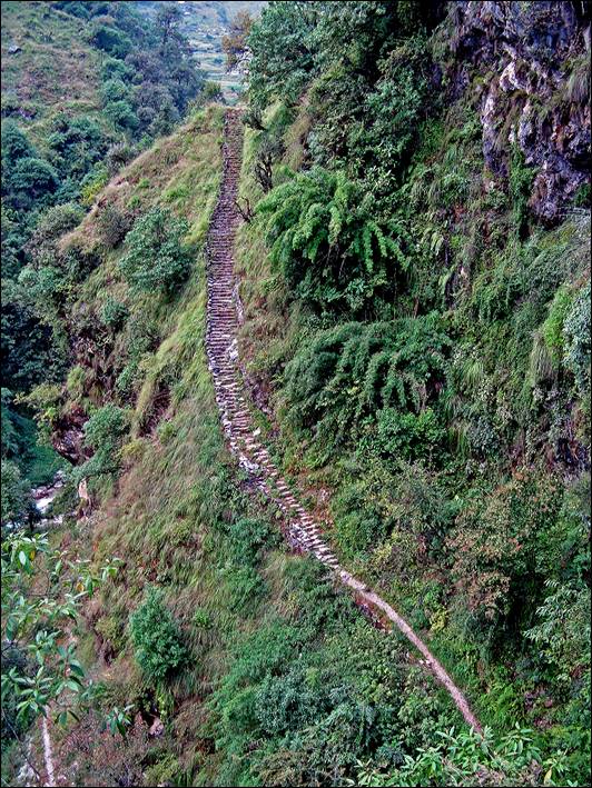
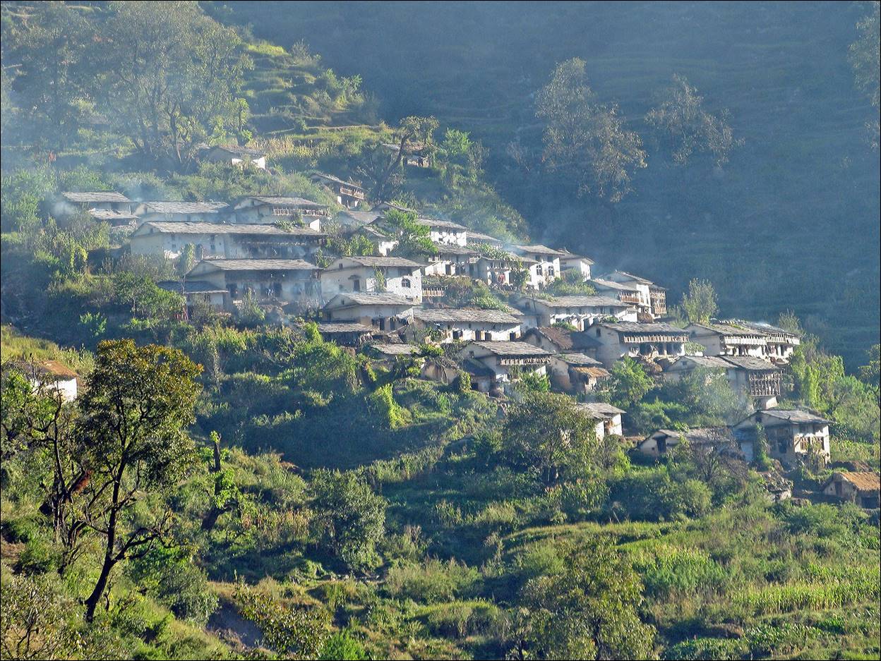
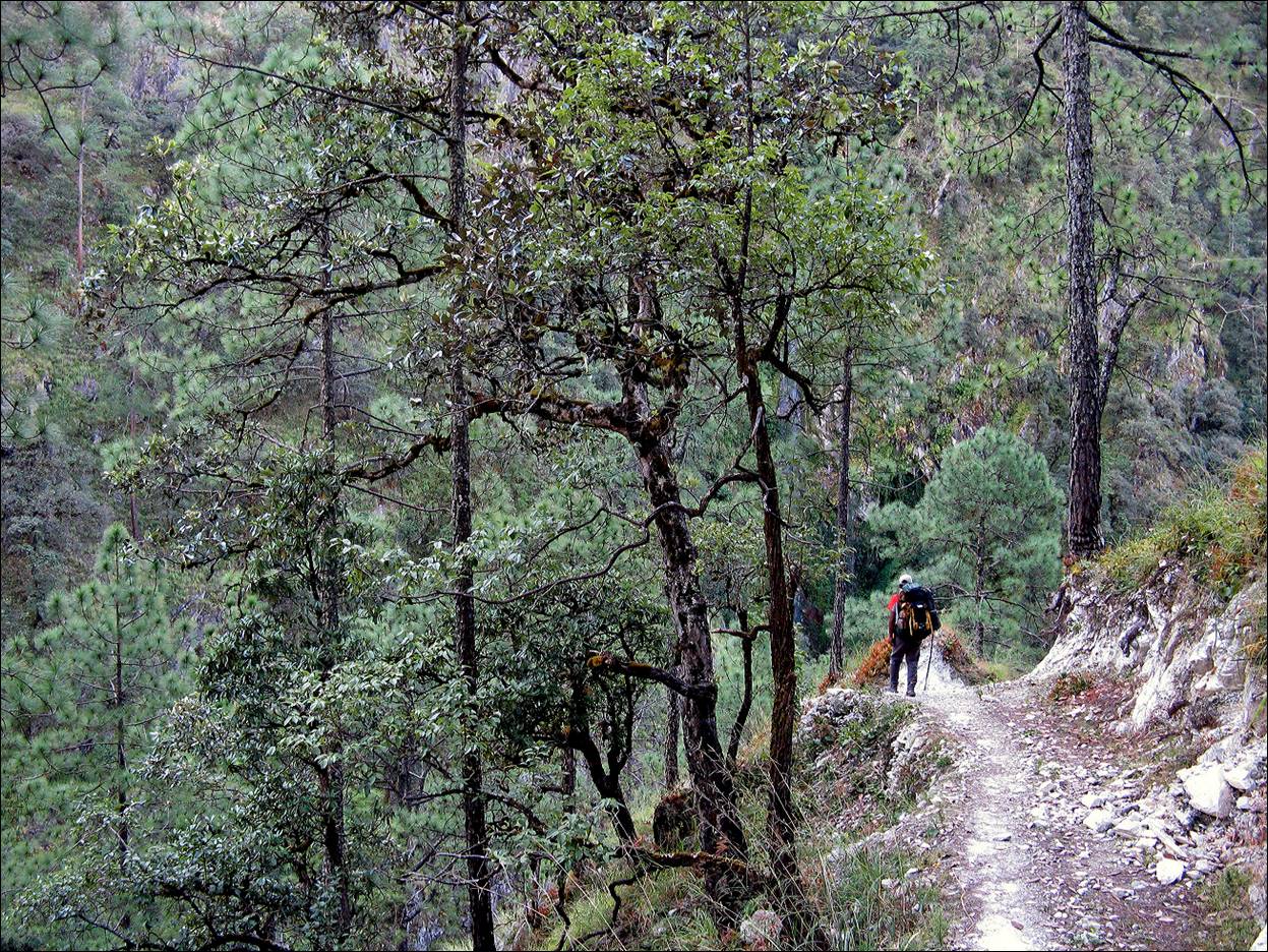
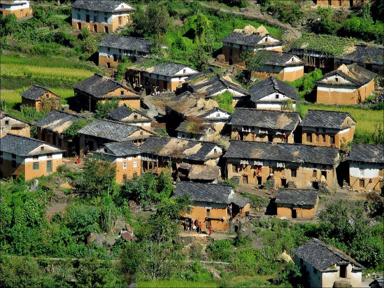
This region is a complex network of narrow valleys
and thin ridges. Most villages are built on steep terrain.
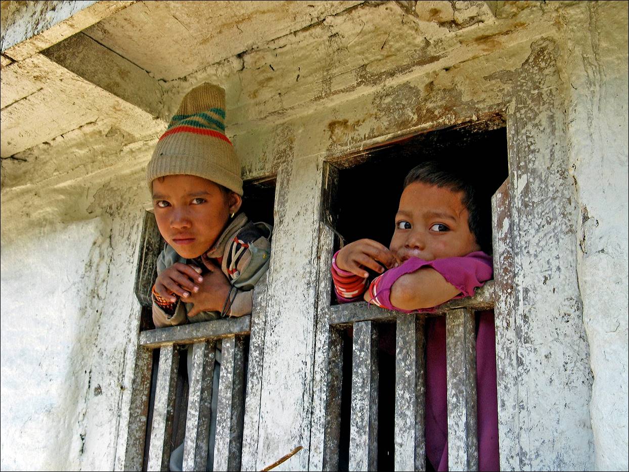
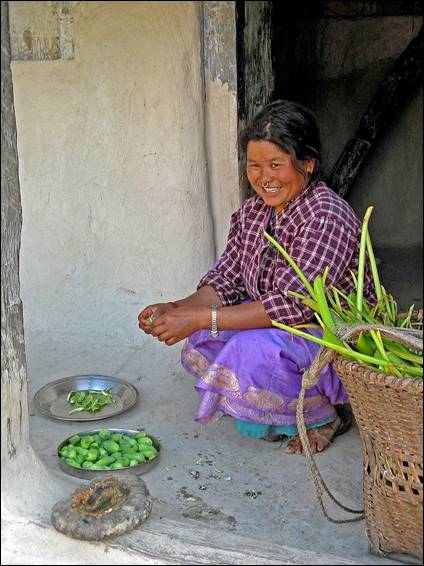
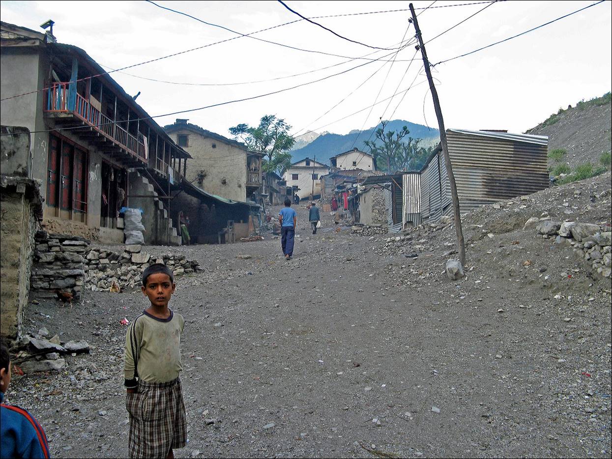
People and windows in a village along the way.
|
|
|
|
|
|
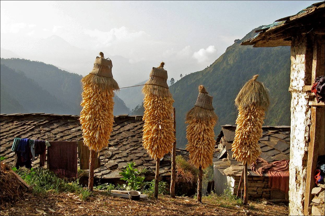
Corn drying in the sun.
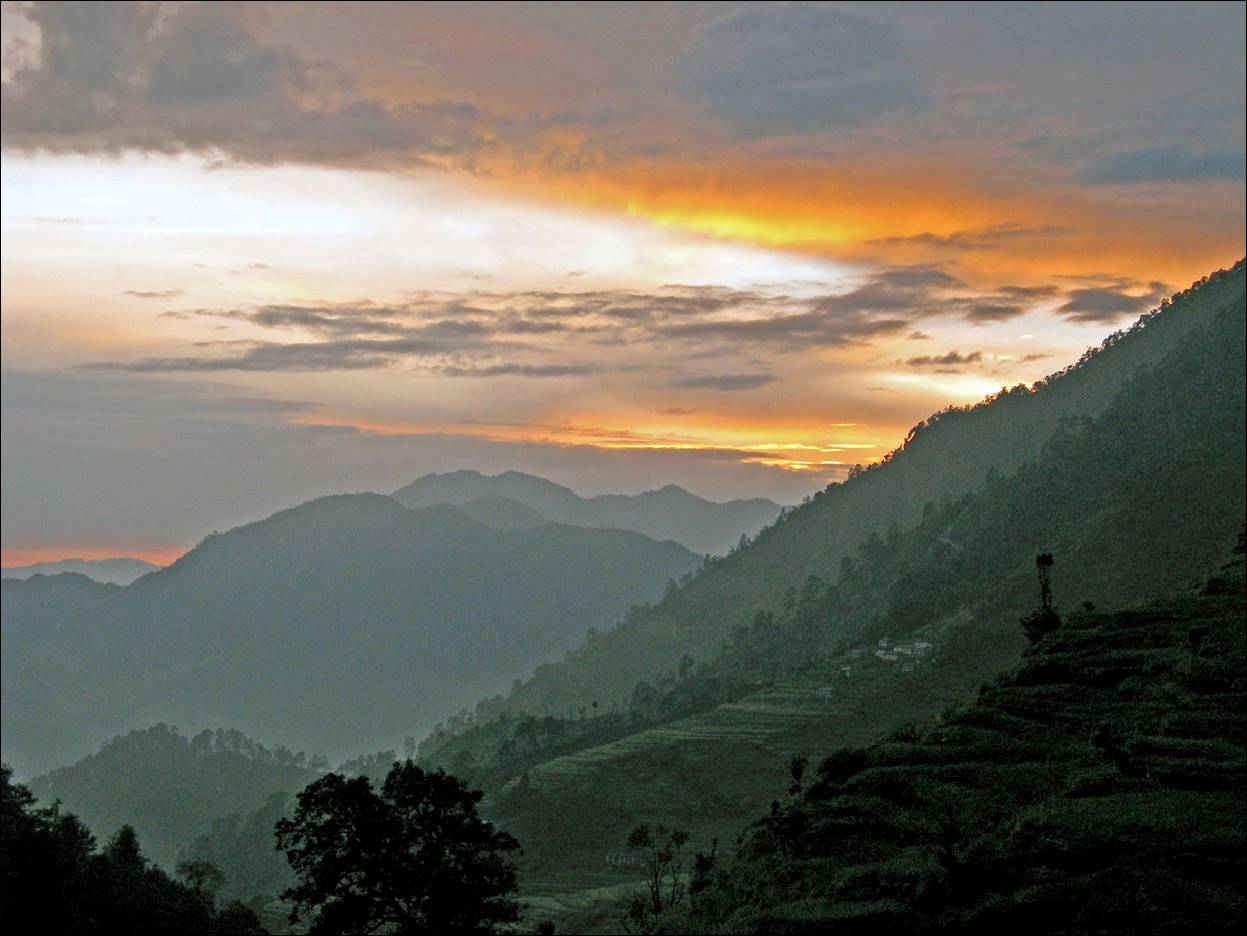
View toward the south at sunset from one of our
camps.
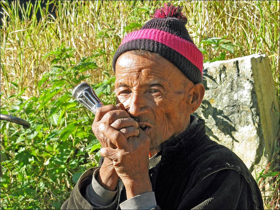
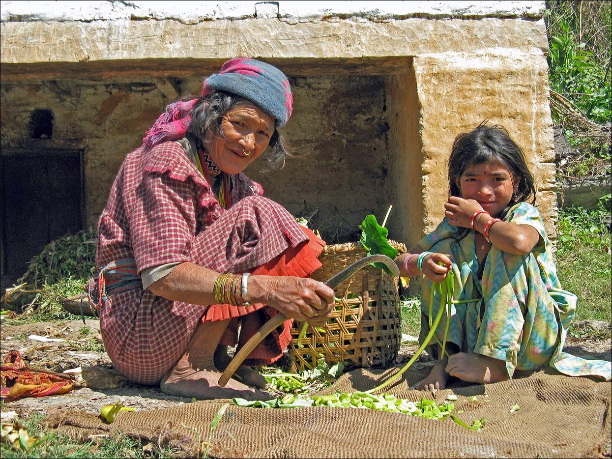
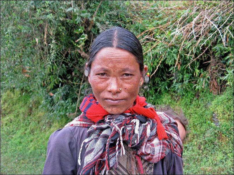
Woman and man near Rezali
village.
|
|
|
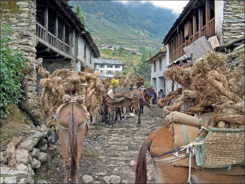
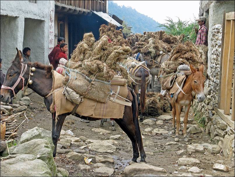
Caravan of mules between Martadi
(the local administrative center) and Kolti.
|
|
|
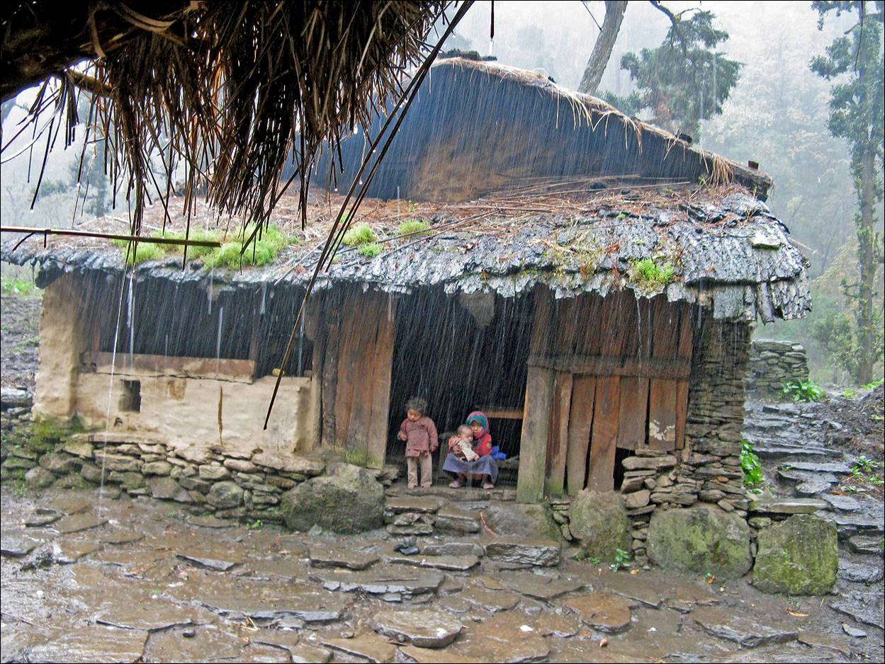
Heavy rain below the pass (2990m) crossed before
reaching Kolti.
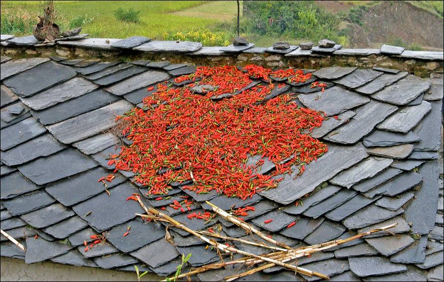
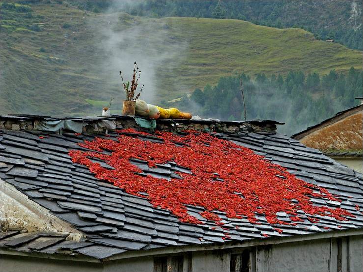
Red chili drying on slate roof tops.
|
|
|
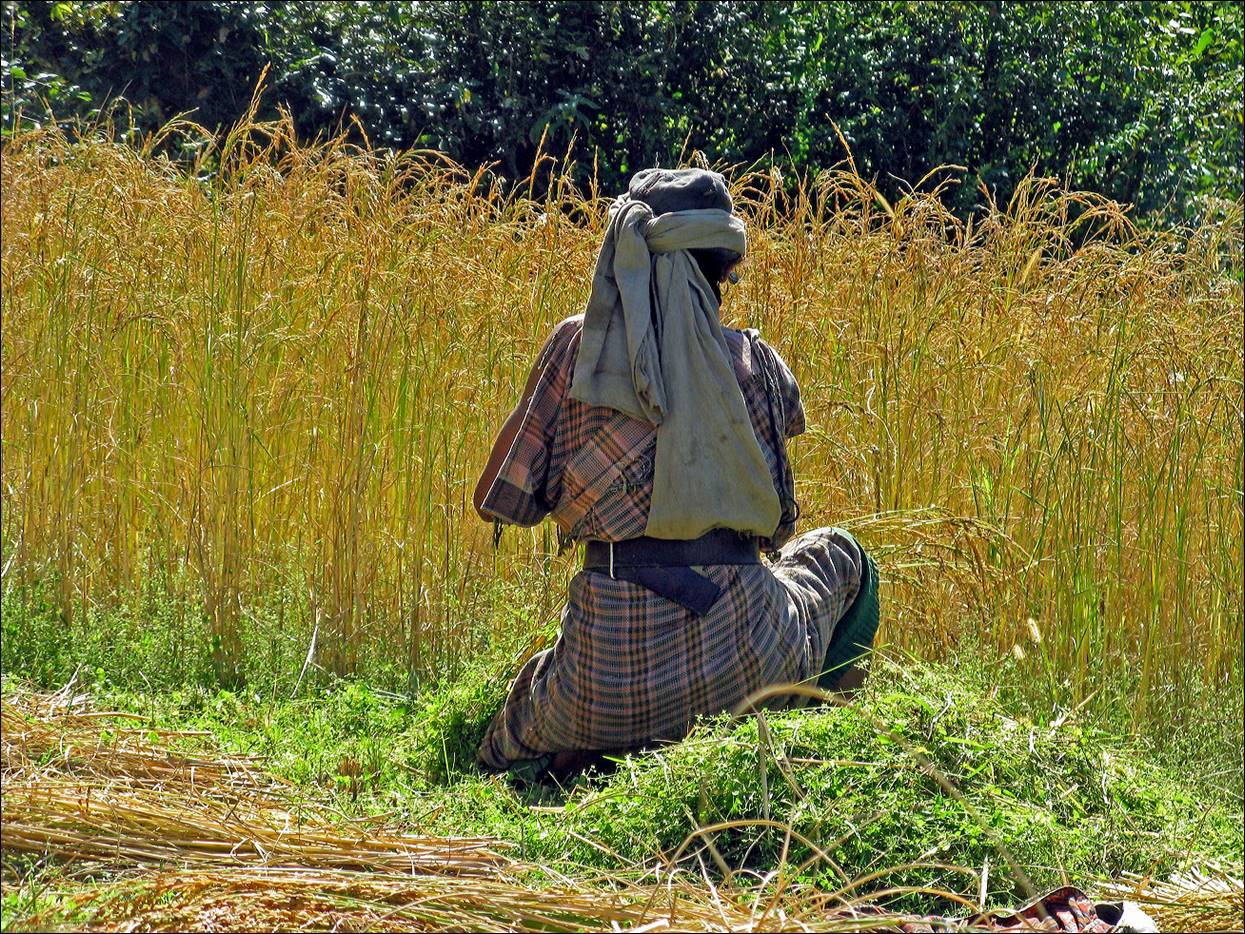
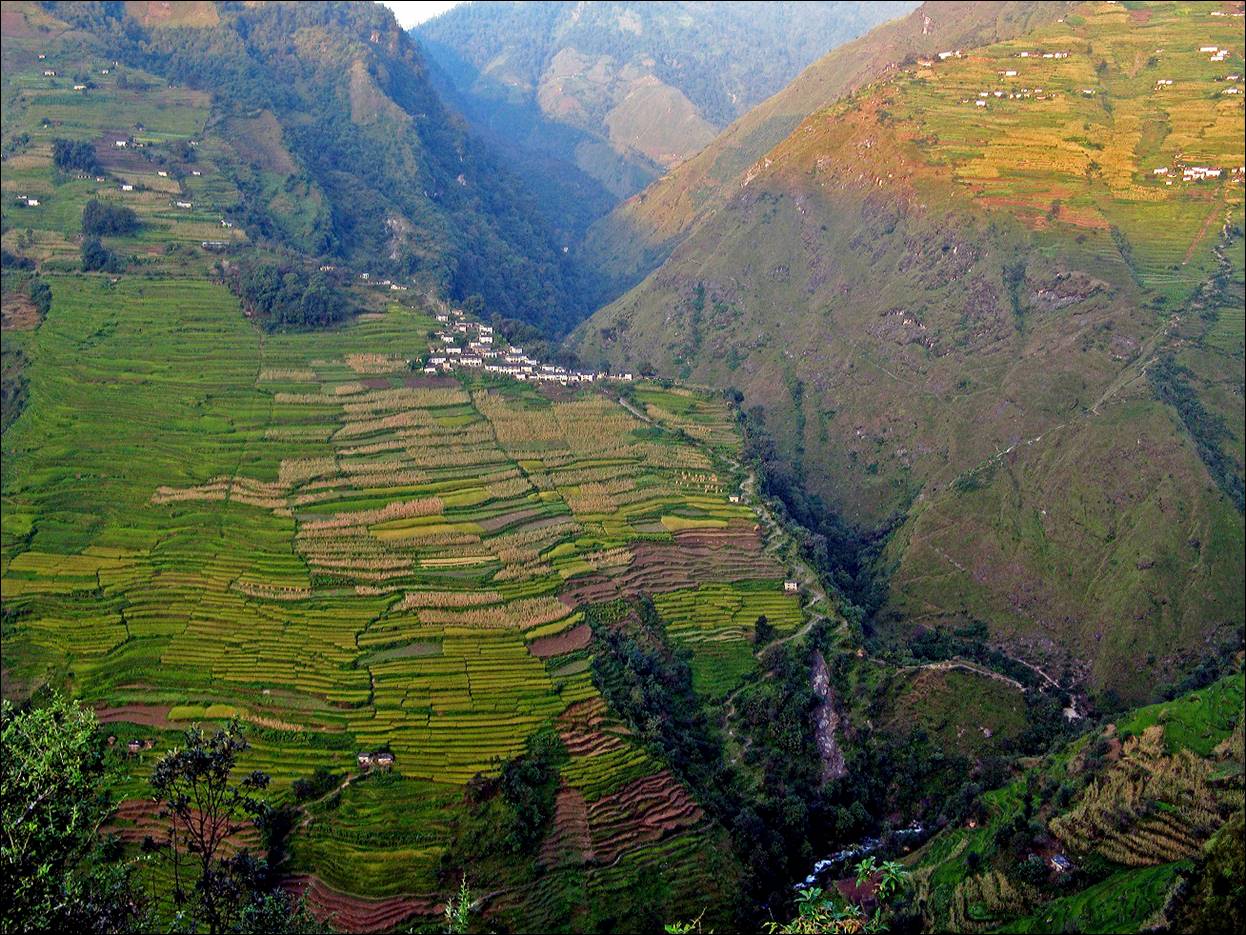
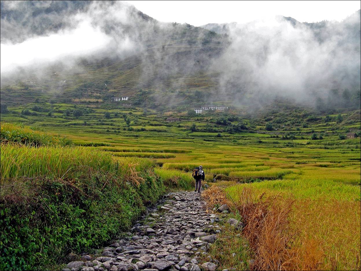
Rice fields near Kolti.
Warm colors near Kolti
at sunset.
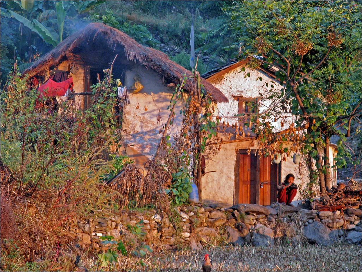
Teahouse near Kolti.
In the small town of Kolti
(1520m). Not a beautiful town, but for the first time since the beginning of
this trek we were able to buy kerosene.
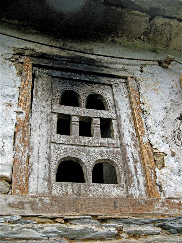
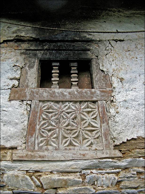
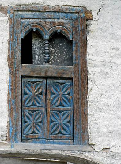
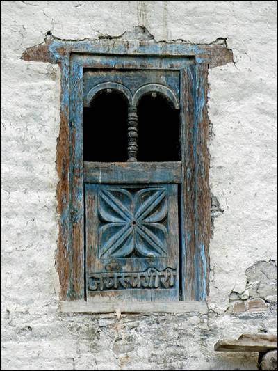
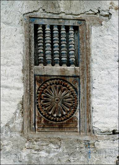
Windows in Kolti.
|
|
|
|
|

![]()
Return to Traverse
of Nepal main page