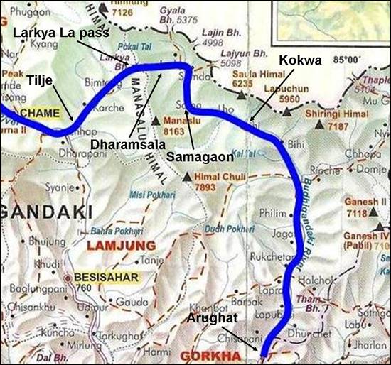
Traverse of
Western Nepal (2008)
Leg 8: Dharapani to Arughat (November
3-12)
![]()
Return
to Traverse
of Nepal main page
We
followed the Marsyangdi river
down to Dharapani. There, we abandoned the
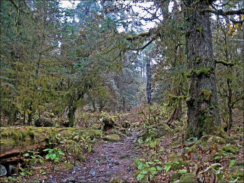
Trail along the Dugh Khola between Tilje and Bimtang.
|
|
|
Sunrise at Bimtang.
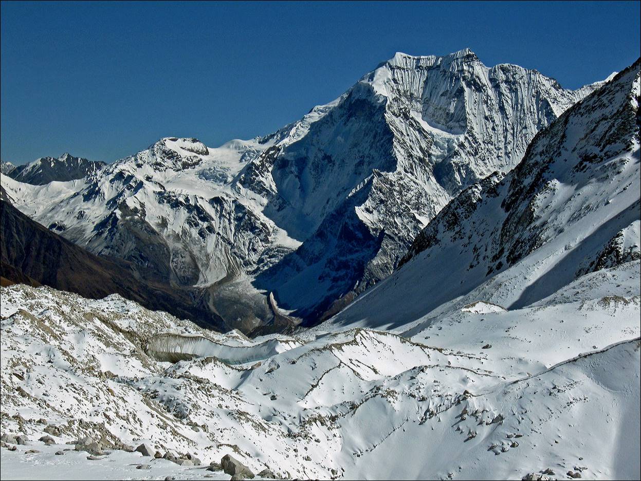
Ascending Larkya La pass
(5135m).
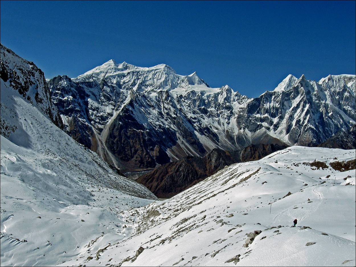
View from Larkya La, with Samdo (6335m) on the
right. I reached Larkya La around noon on November 5.
At that time it was about 11pm on November 4 at home in
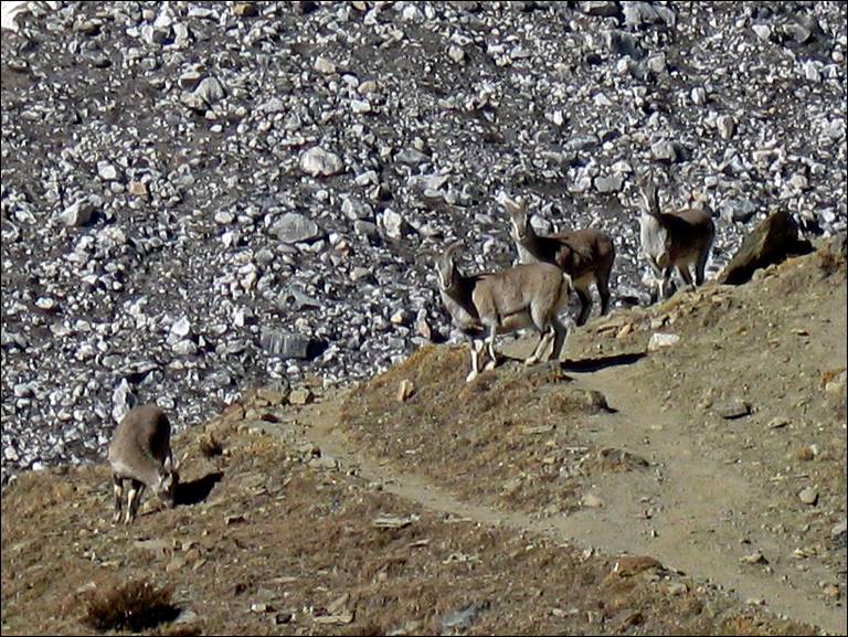
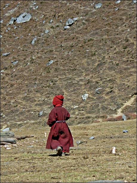
Mountain goats near Dharamsala.
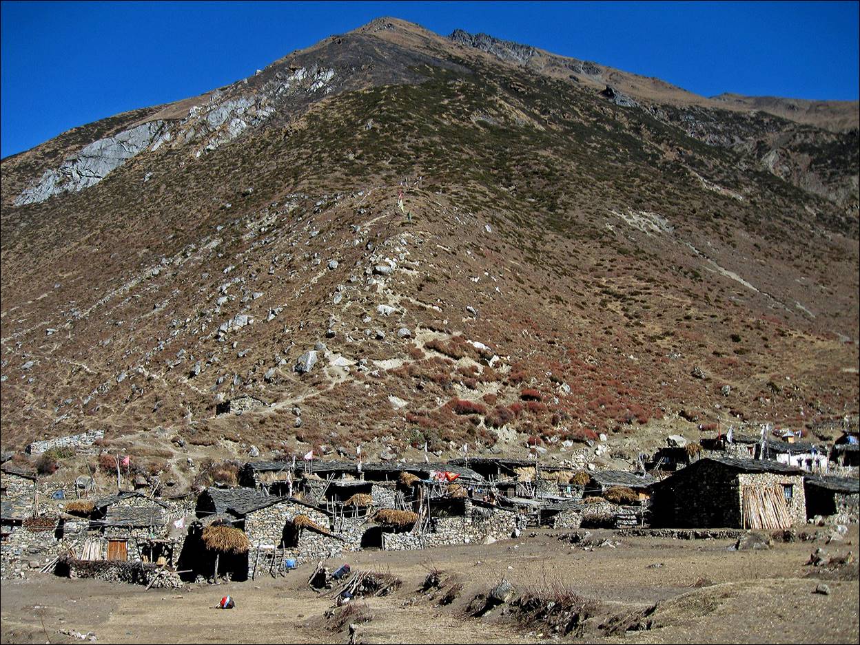
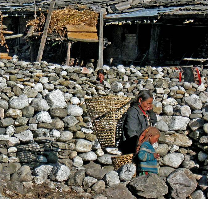
Samdo, a Tibetan
refugee village.
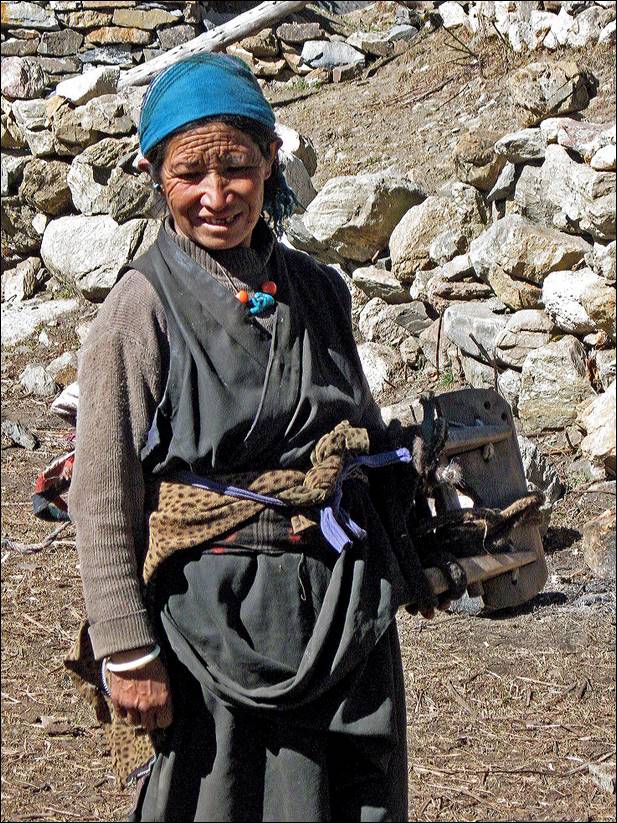
People in Samdo.
|
|
|
|
|
|
|
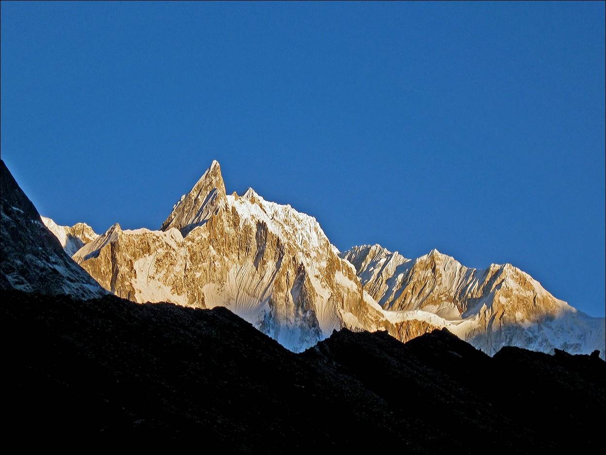
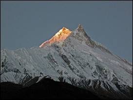
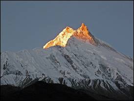
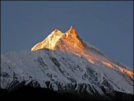
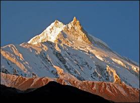
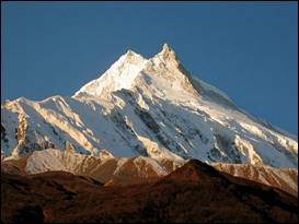
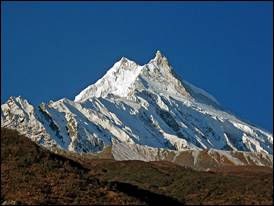
Manaslu
(8163m) at sunrise seen from the village of Samagaon.
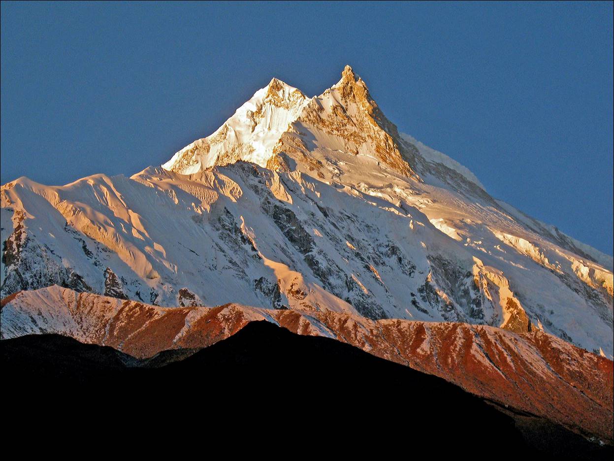
Successive views of Manaslu
during sunrise.
|
|
|
|
|
|
|
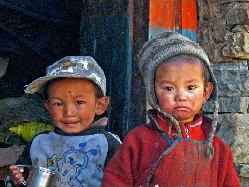
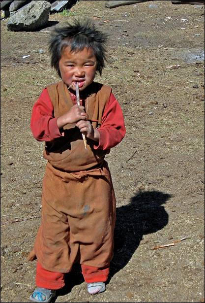
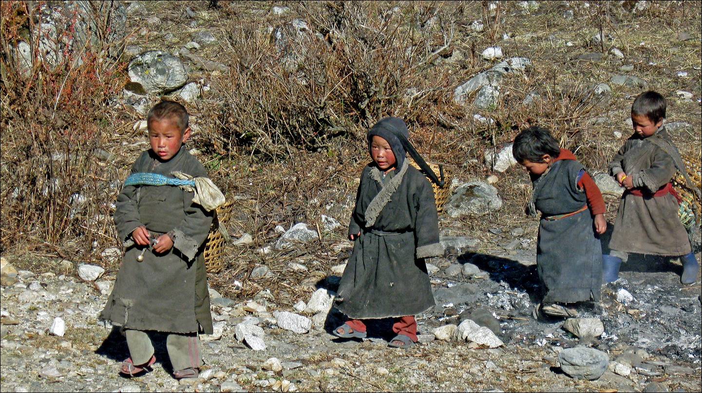
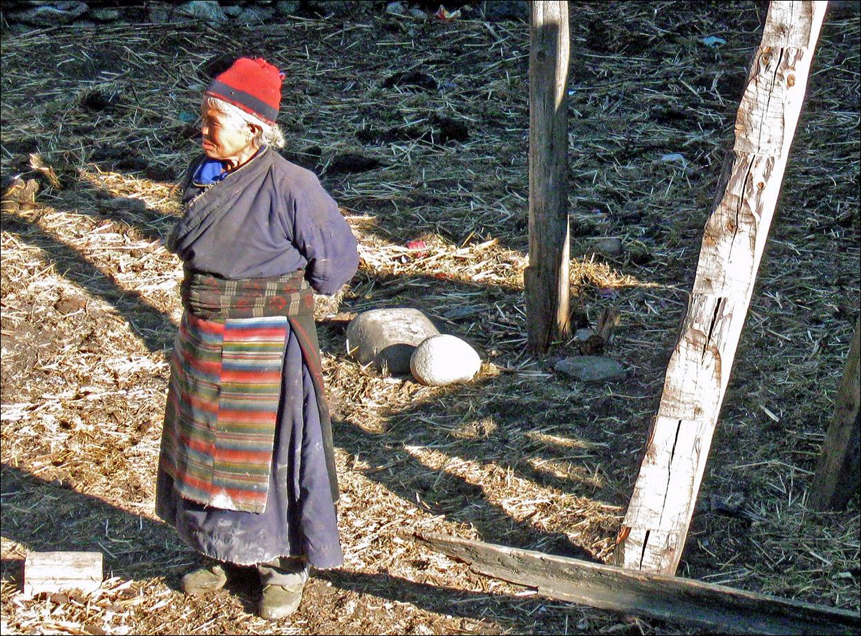
Children in the village of Samagao.
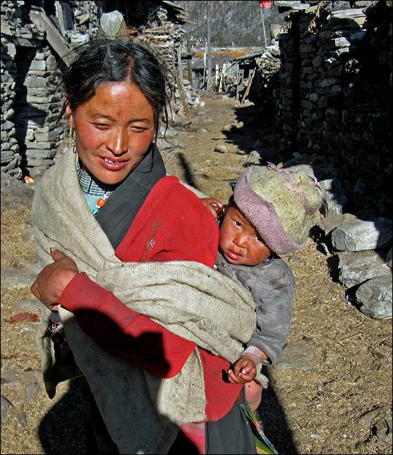
Women in Samagaon.
|
|
|
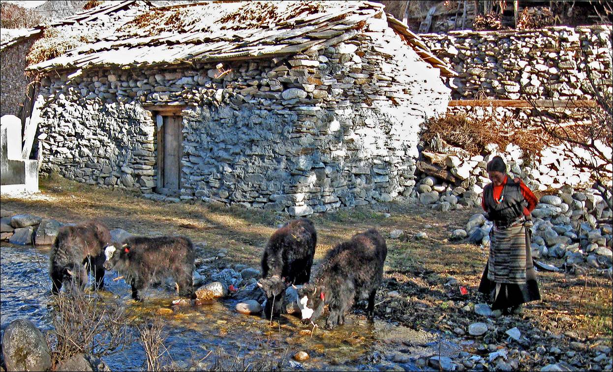
Yaks leaving Samagaon.
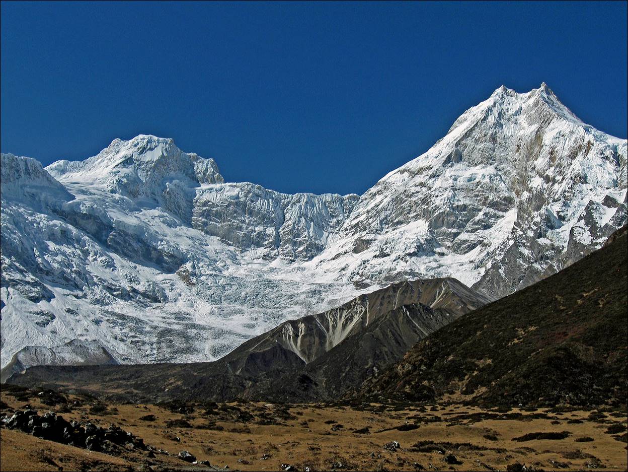
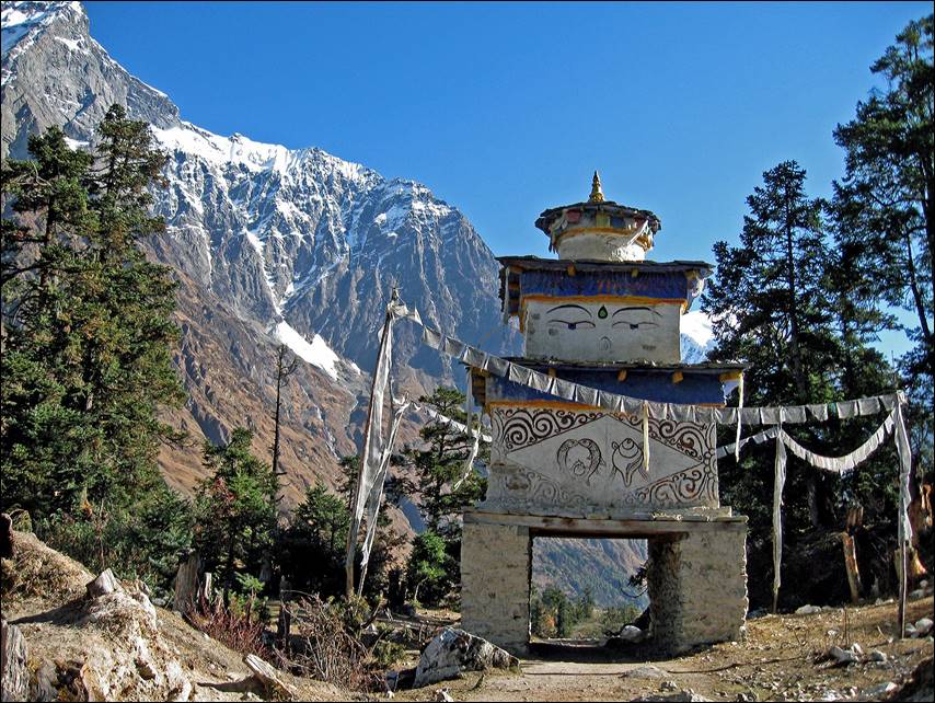
Peak 29 (7871m) and Manaslu
seen from Pungyen gompa.
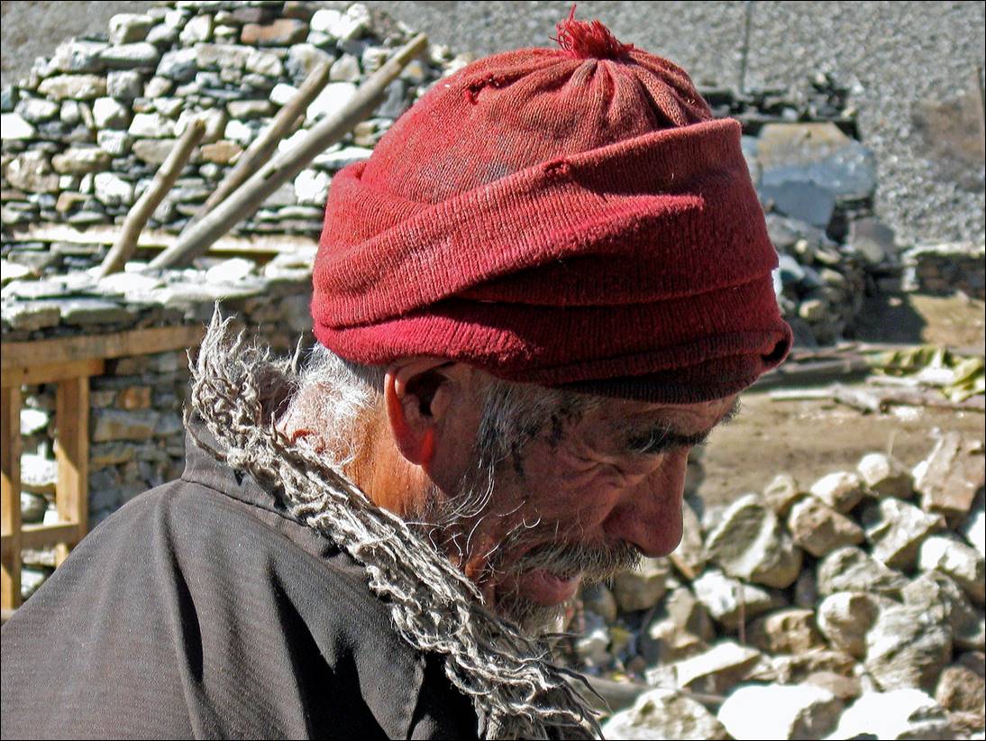
At Pungyen gompa.
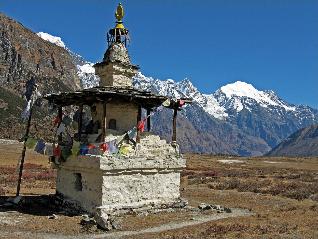
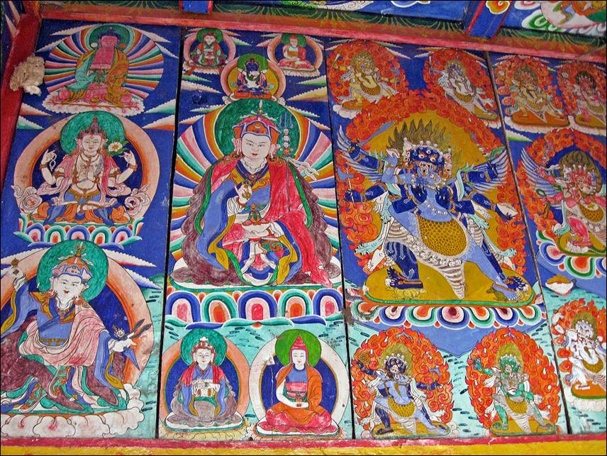
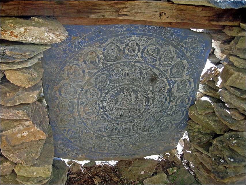
A beautiful chorten near
Sho and some of its inside paintings.
|
|
|
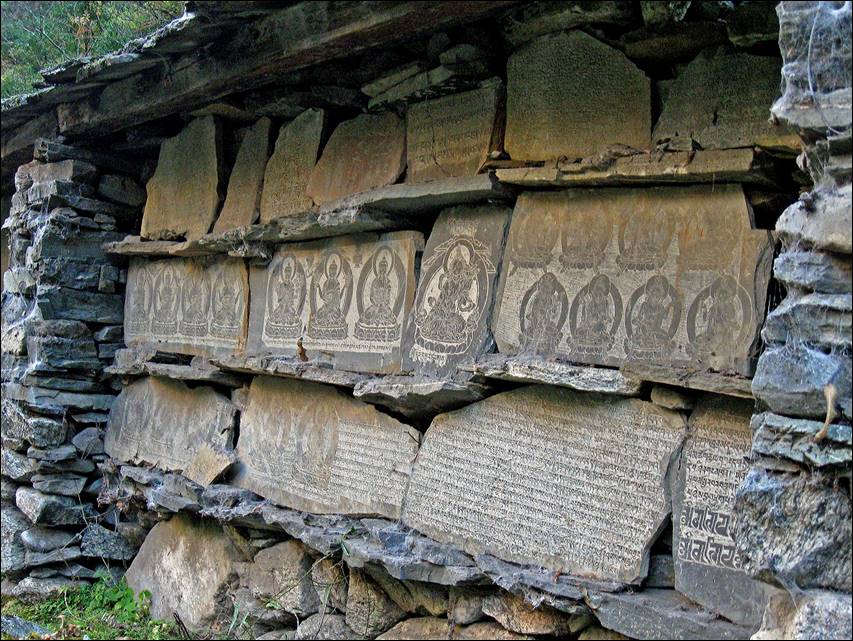
An impressive mani wall near Kokwa
village, a village famous for its mani stone carvers.
|
|
|
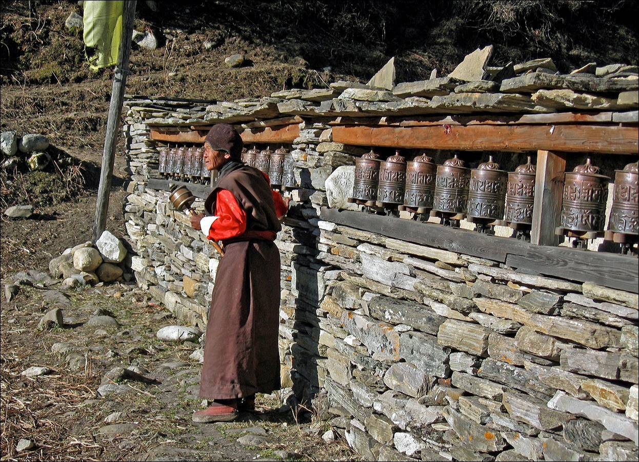
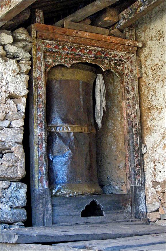
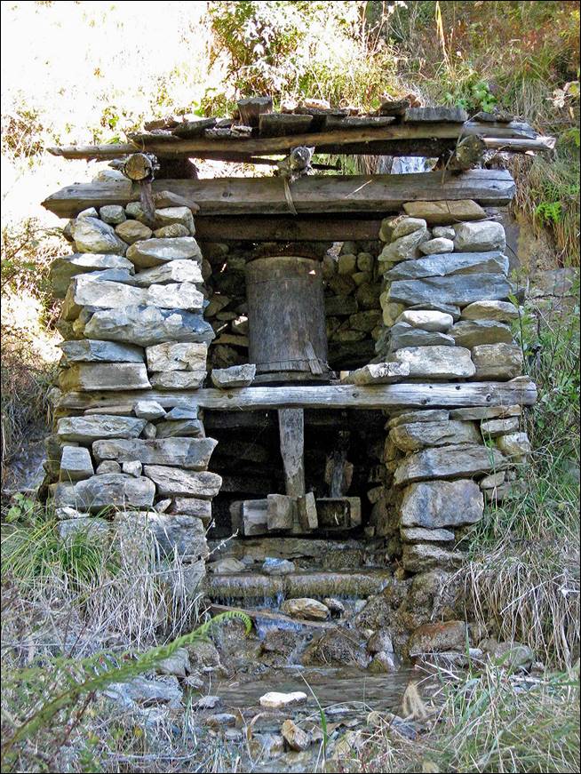
Old prayer wheels near Kokwa
village.
|
|
|
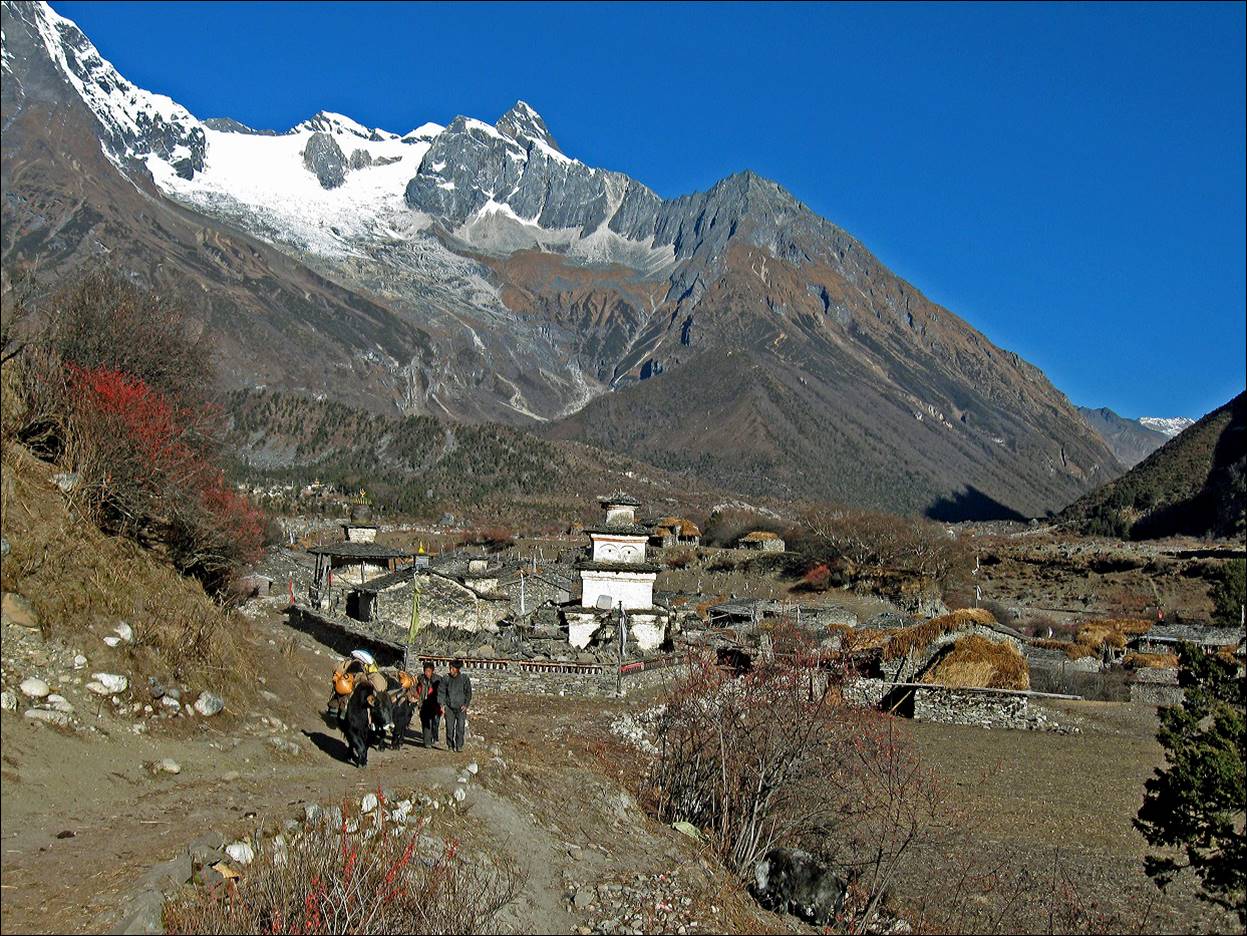
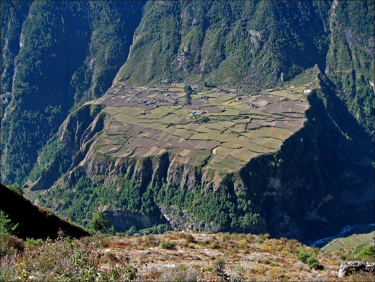
Plateau of Prok seen
from Kokwa village.
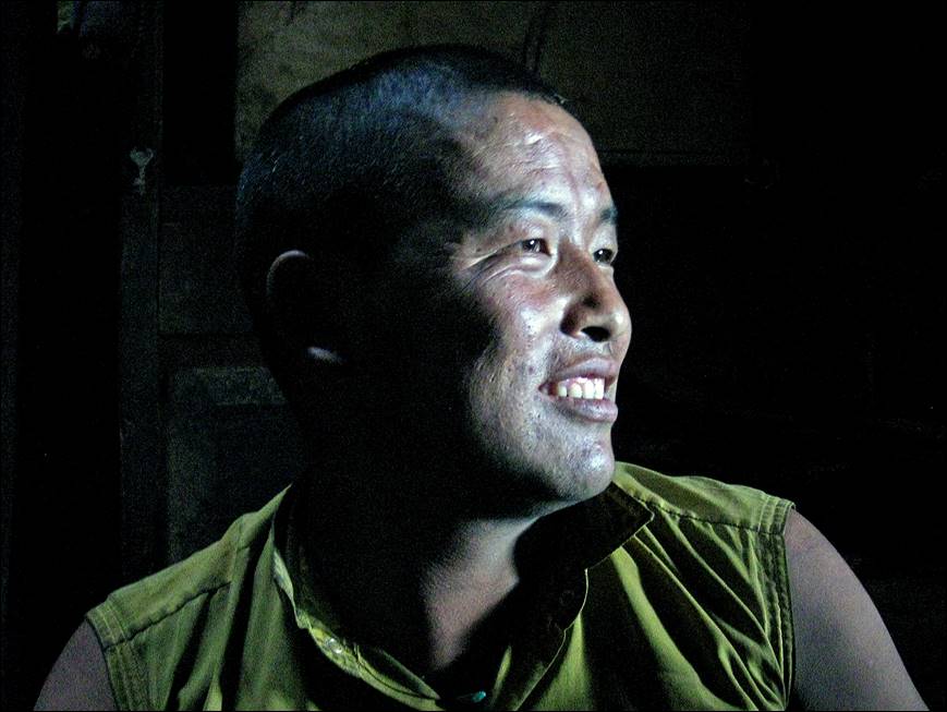
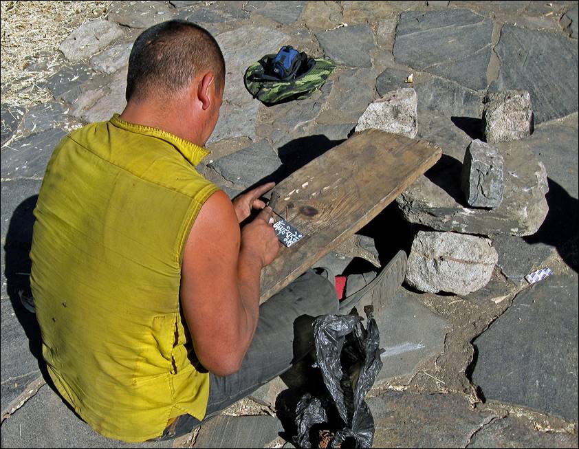
Ringin Dorje Lama, a famous mani
stone carver.
|
|
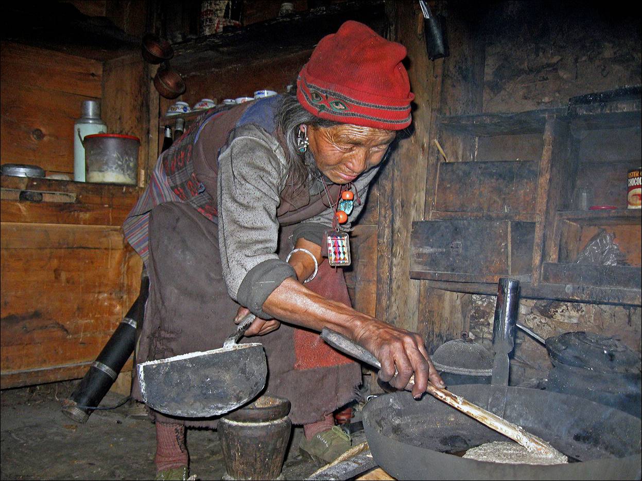
|
His mother preparing buckwheat pancakes.
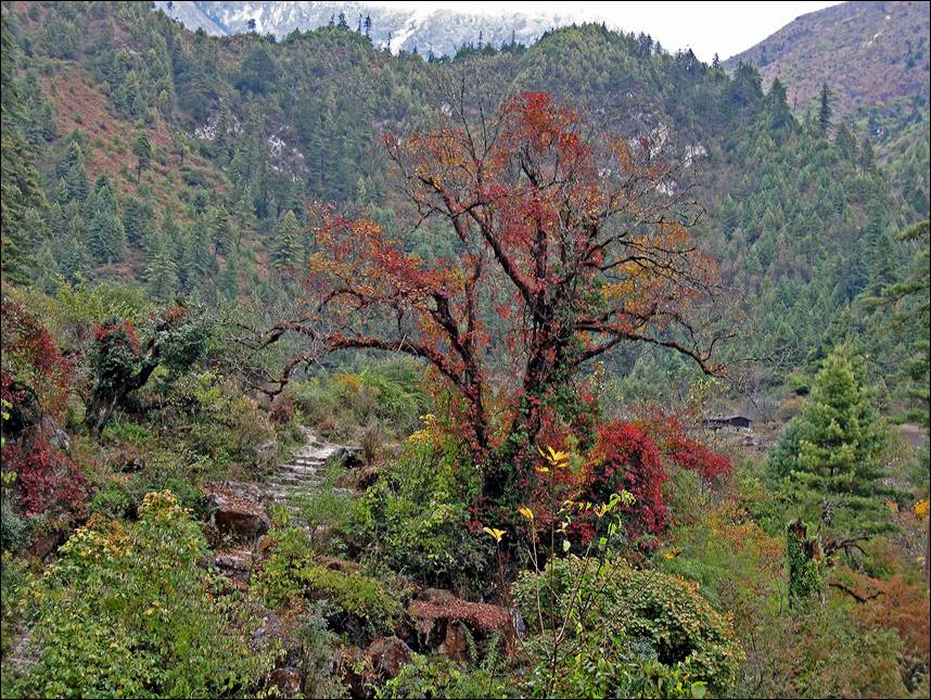
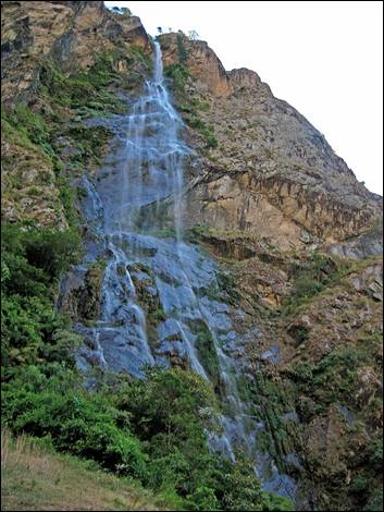
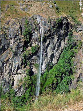
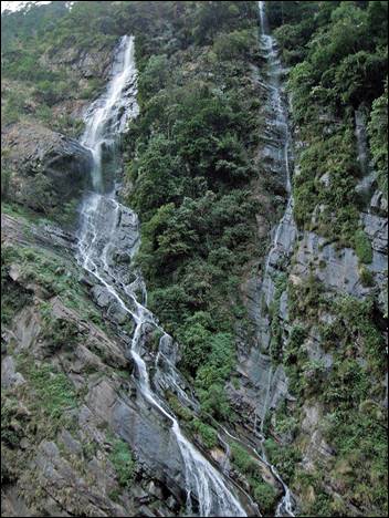
Budhi Gandaki river.
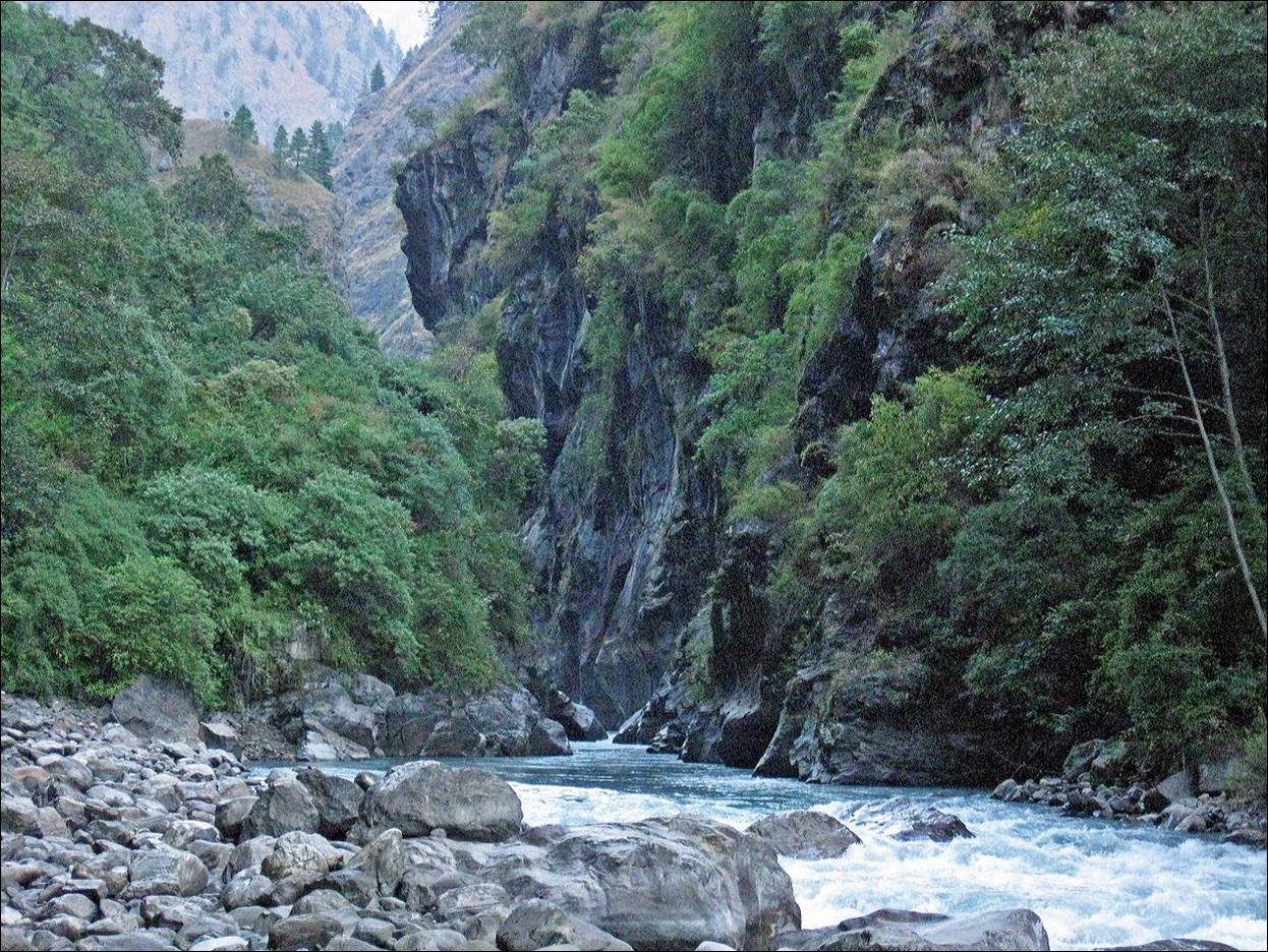
Unusual rock formation.
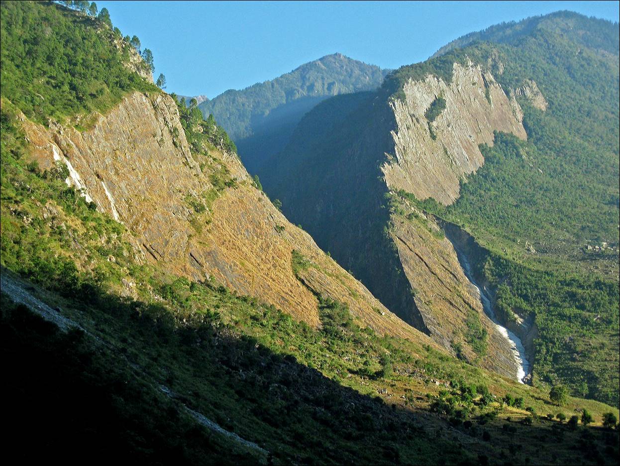
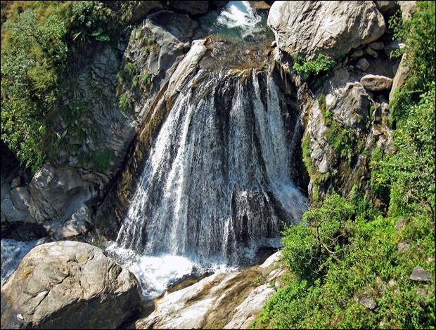
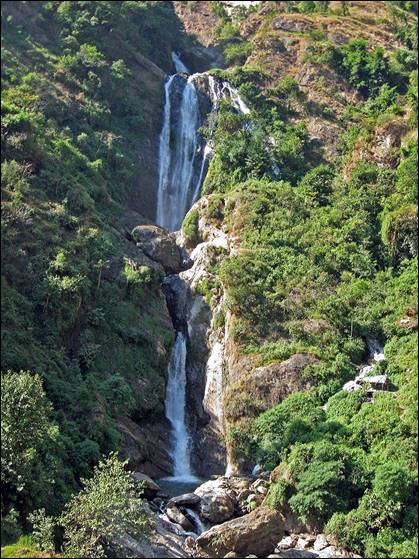
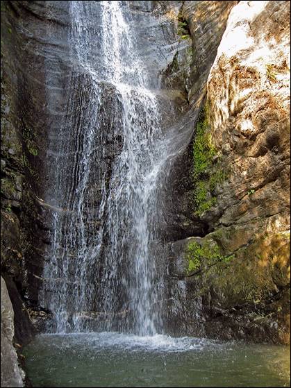
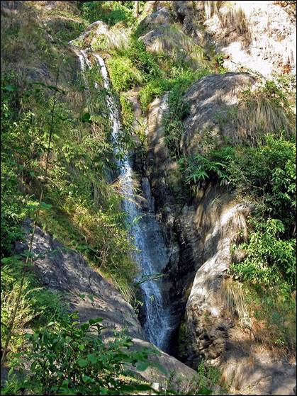
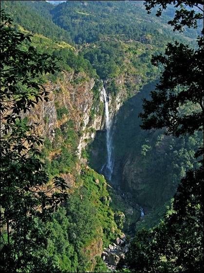
Some of the many waterfalls along the lower
section of Budhi Gandaki river.
|
|
|
|
|
|
|
|
|
|
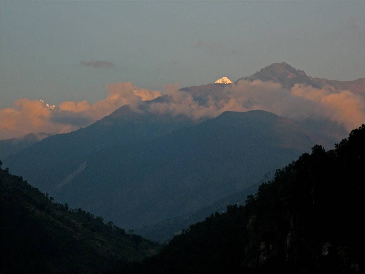
A last look towards high peaks (Ganesh Himal).
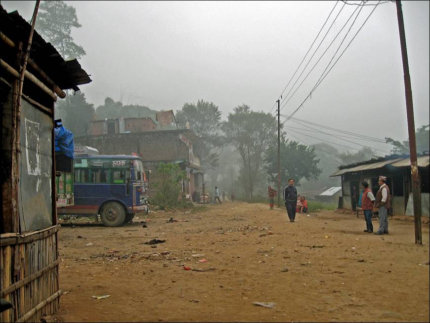
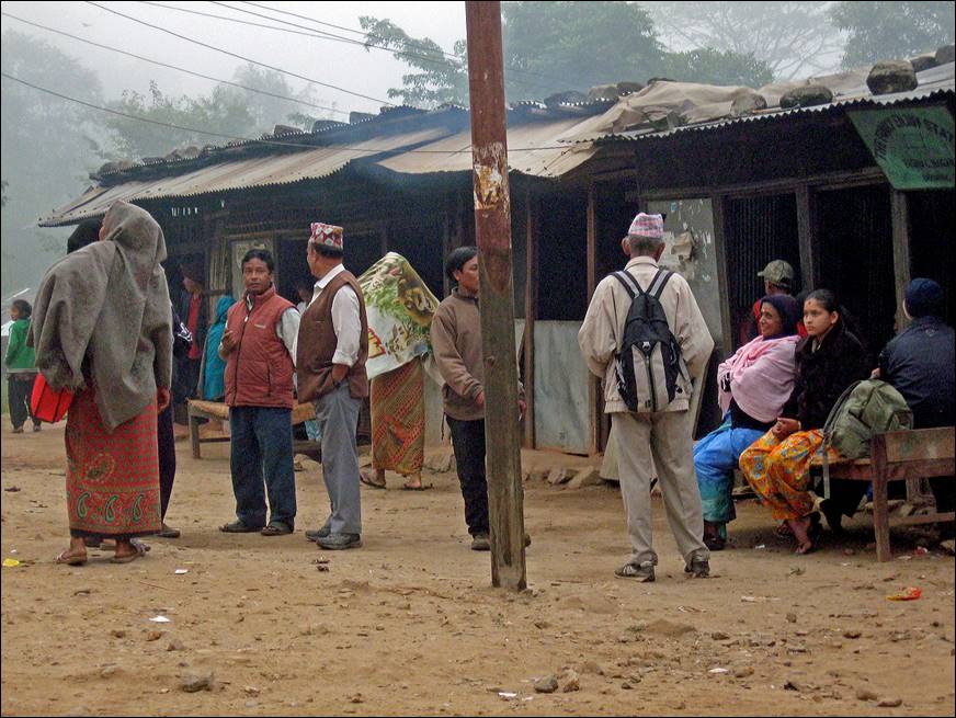
The grim bus station of Arughat,
the terminus of 56 days and 1100 km of trek.
|
|
|
|
|
|
![]()
Return to Traverse
of Nepal main page