Along Tanymas
River
![]()
Return to Pamir
2010 main page
After a
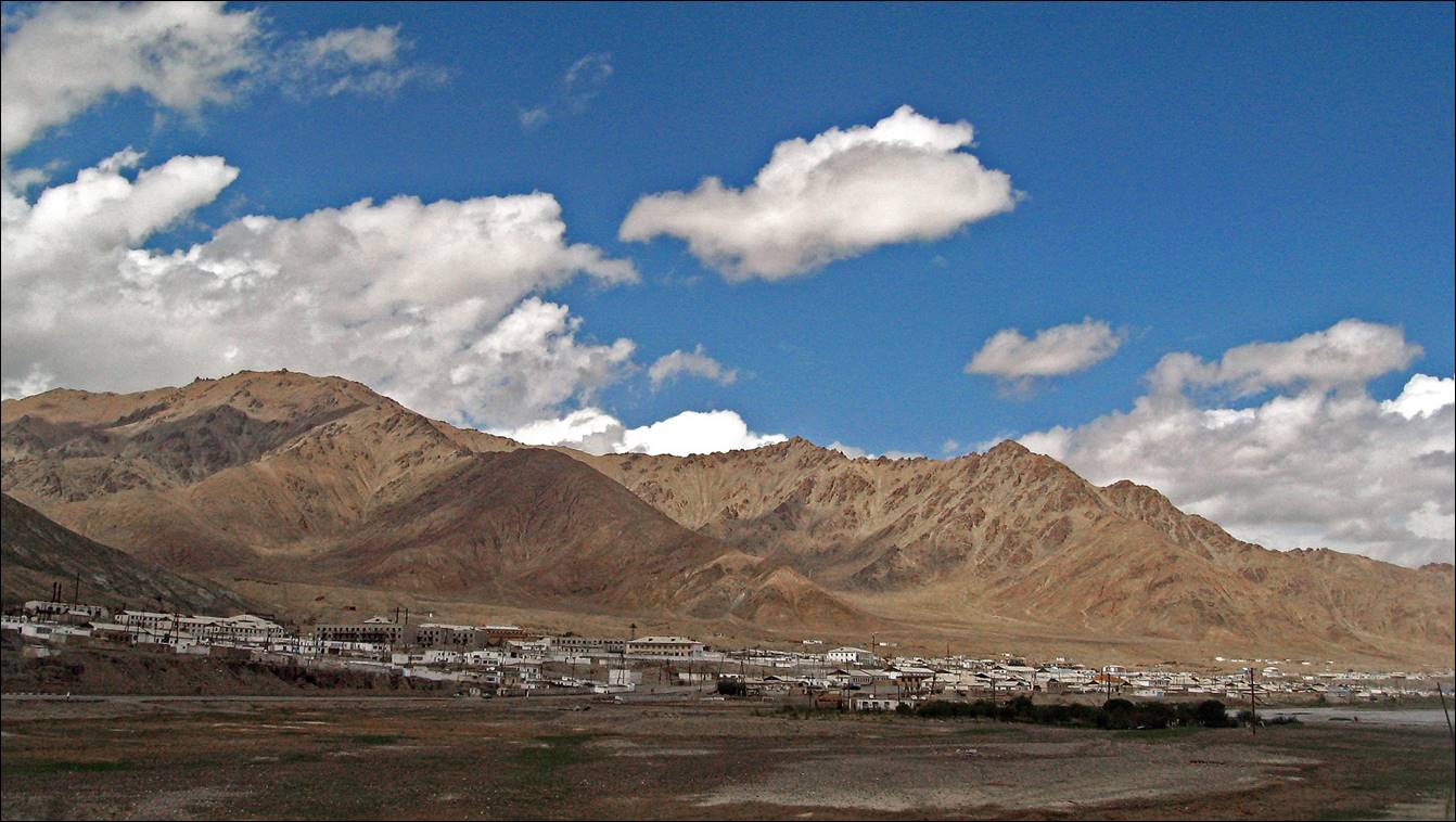
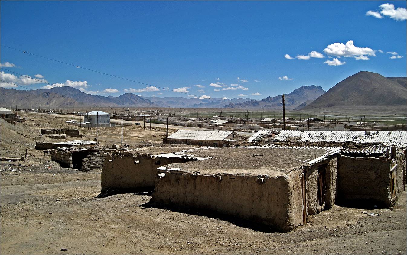
very hot 4-day drive from Tashkent, through Dushanbe and Khorog,
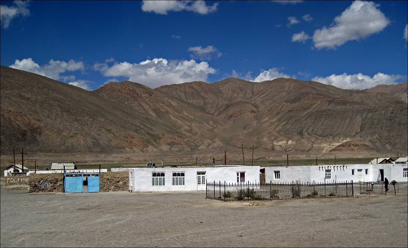
we reached Murghab in eastern Tajikistan. Murghab is a rather ugly small town settled in a barren
environment. But its people (many Kyrgyz) are very friendly and we stayed in a
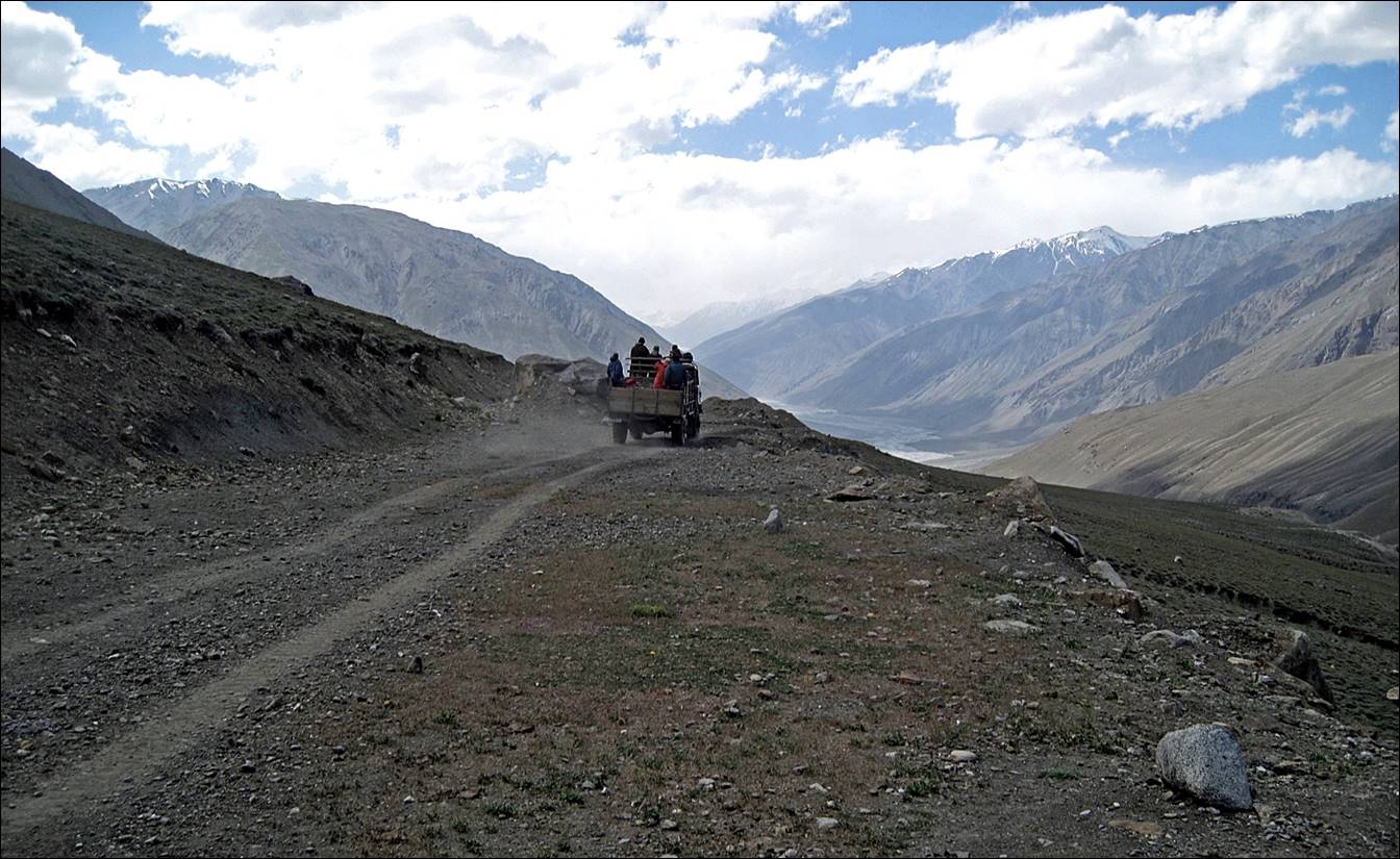
welcoming guesthouse. From Murghab, a truck drove us
to the start of the trek, at a place called Kokjar
where Kokjar river flows
into Tanymas river. Driving north of Murghab we first followed the so-called Pamir Highway,
which eventually leads to the Tajik-Kyrgyz border at pass Kyzylart.
After driving 180km we turned to the west on a small dust road that initially
follows the Kokujbel river,
to eventually reach Kokjar place.
For photos
along the road to Khorog along the Panj river (taken during my 2009 trip to Tajikistan), click
here.
Road
itinerary from Murghab to Kokjar
and back.
Topographic map: road access in green dots,
trekking route in red dots.

High plateau between Khorog
and Murghab.

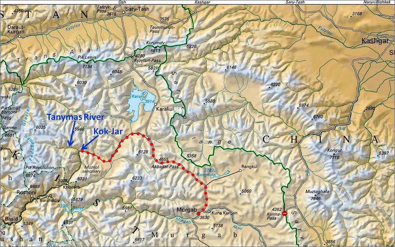
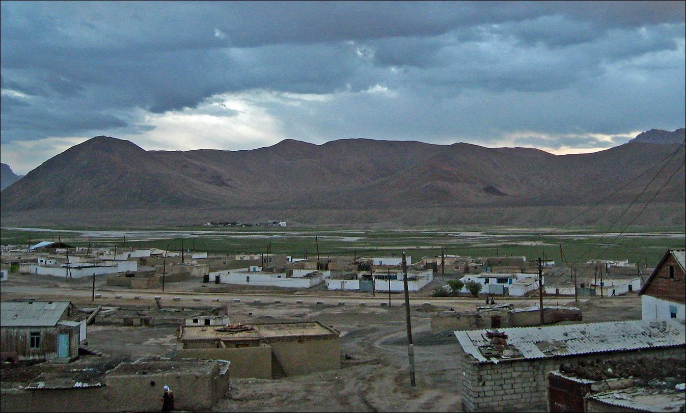
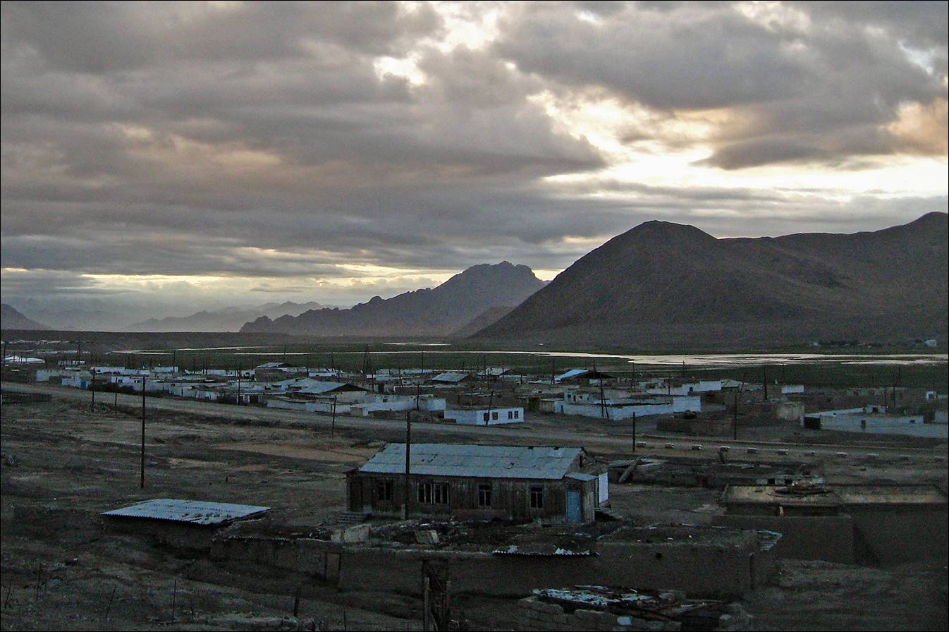
Arriving in Murghab.

Views of Murghab. At the center of the first picture, the white peak
in the far background is Muztagh Ata (7546 m), which I
had climbed in 2000.

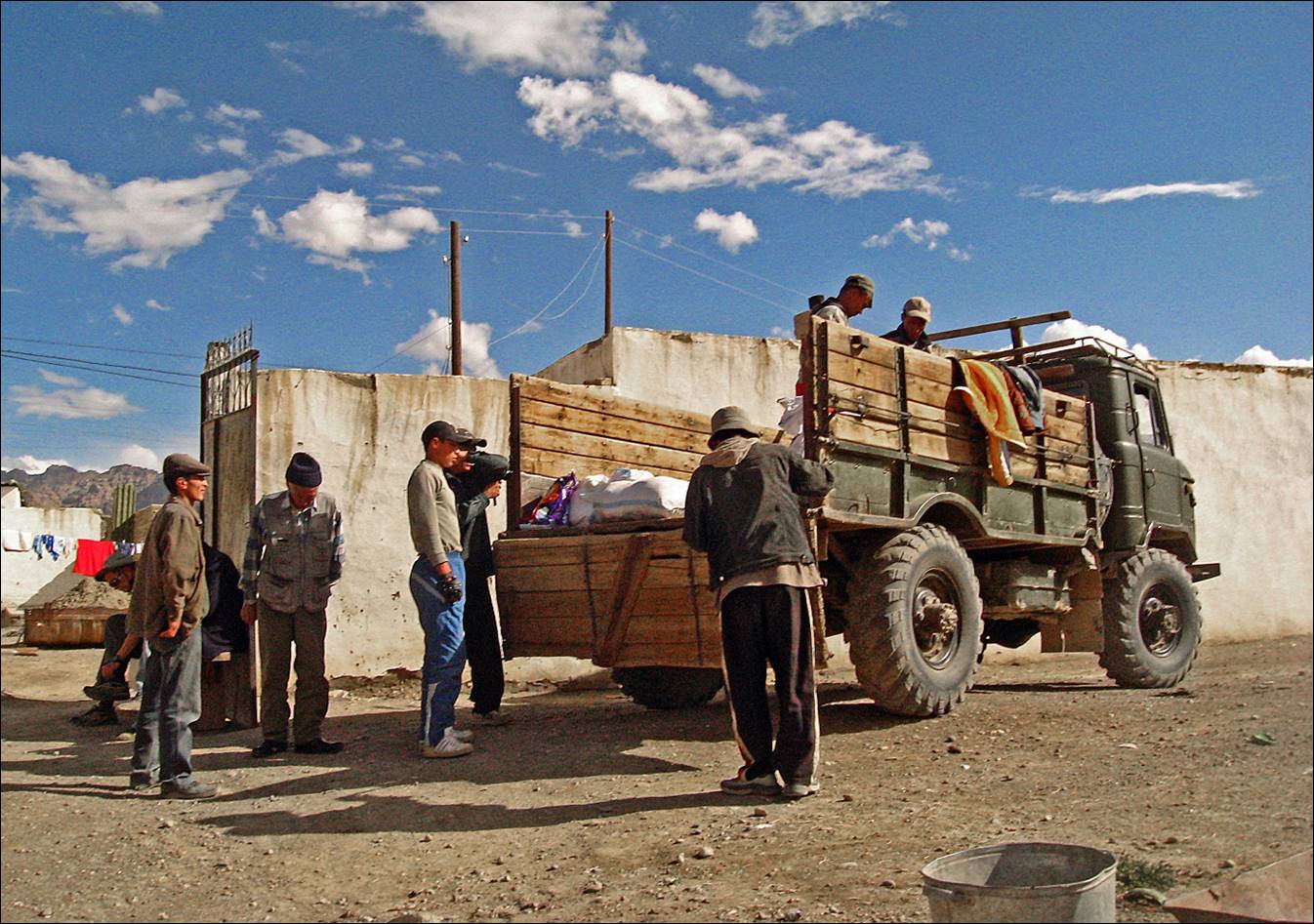
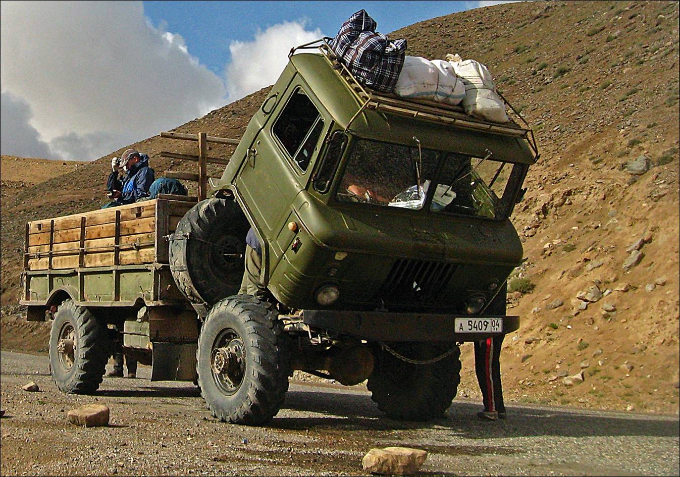
Loading the truck that
drove us to Kokjar.
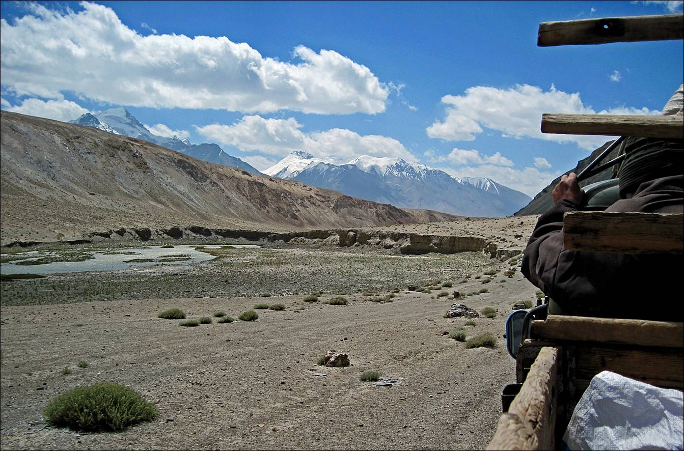
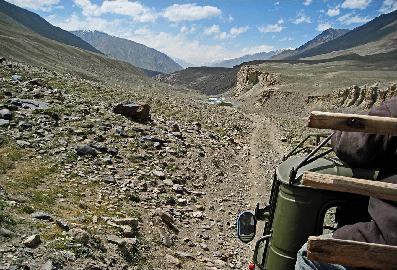
Leaving Murghab on our way to Kokjar.
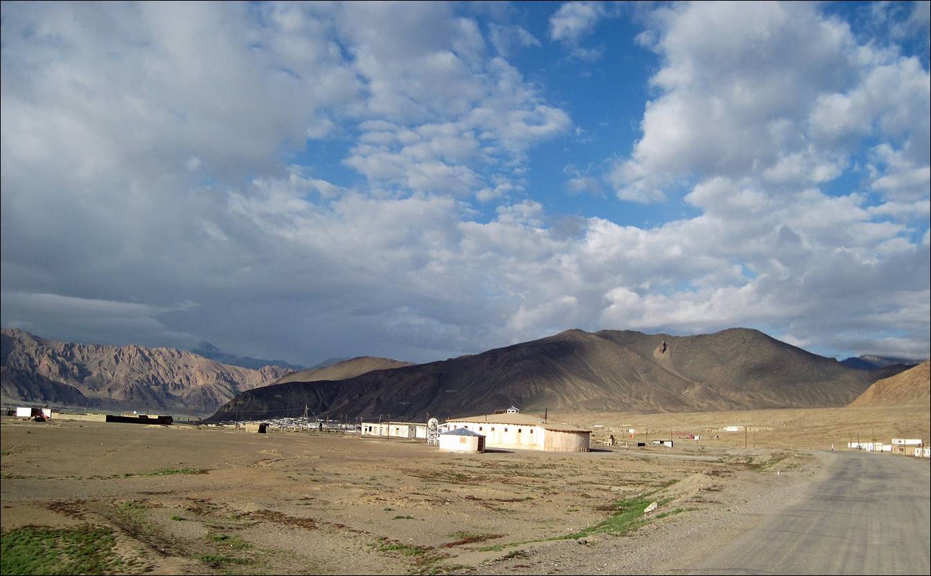
Small settlement north of Murghab along the Pamir Highway.
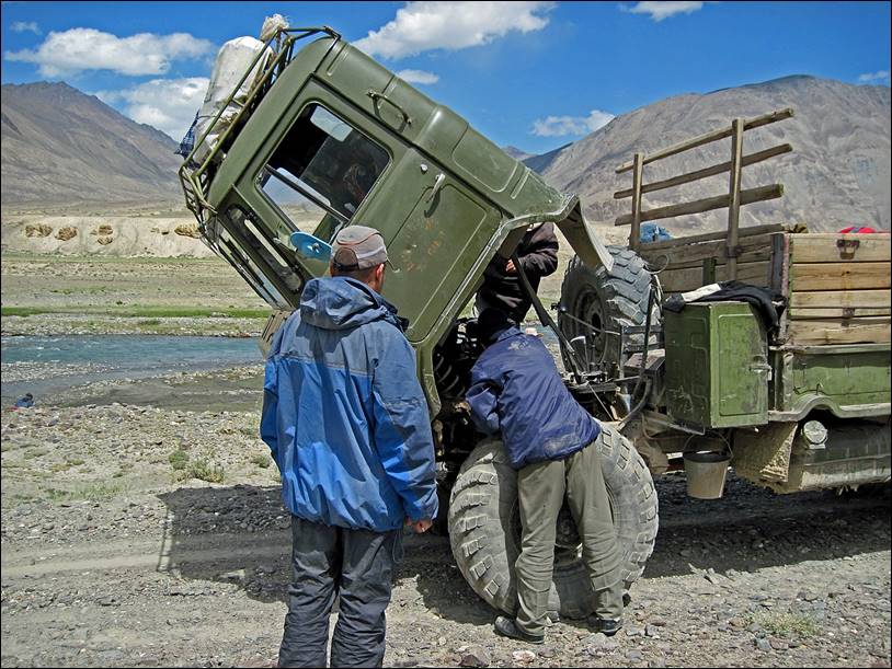
Along the way we had to
stop several times to add oil in the truck engine, or to do some other repairs.
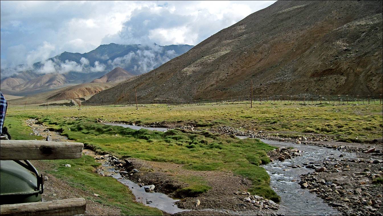
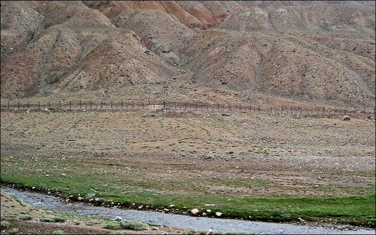
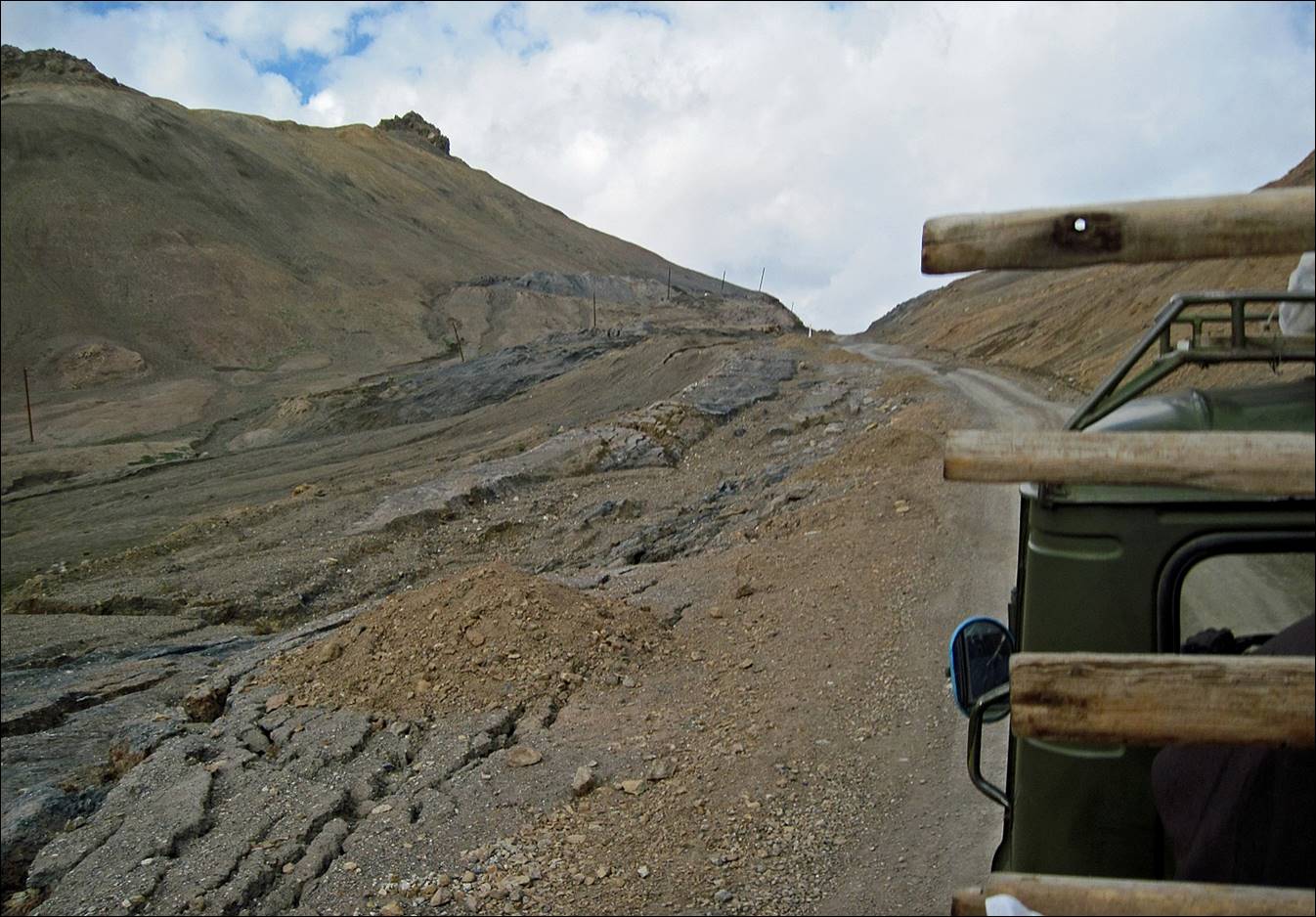
At some point the Pamir
Highway gets very close to the Chinese border (Xinjiang province). This picture
shows the fence built (in Tajik territory!) by the Chinese all along the
border. The patrol road on the other side of the fence is in better condition
than the so-called Tajik Pamir Highway. Is this fence intended to prevent Uyghurs from escaping Xinjiang or to prevent
Tajiks from invading China?

|
|
|

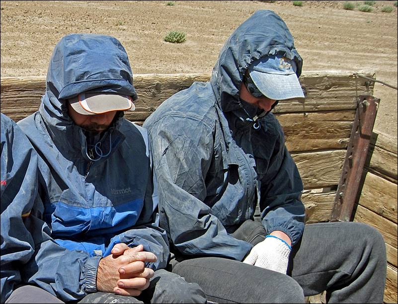
Approaching
Akbajtal pass.
Despite the sun, it was
quite cold in the back of the truck.
|
|
|
Crossing Akbajtal pass (4655m).
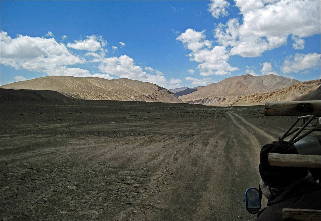
About 180km from Murghab we left the Pamir Highway and turned west into a
dust road toward Central Pamir.

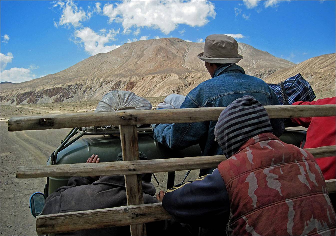
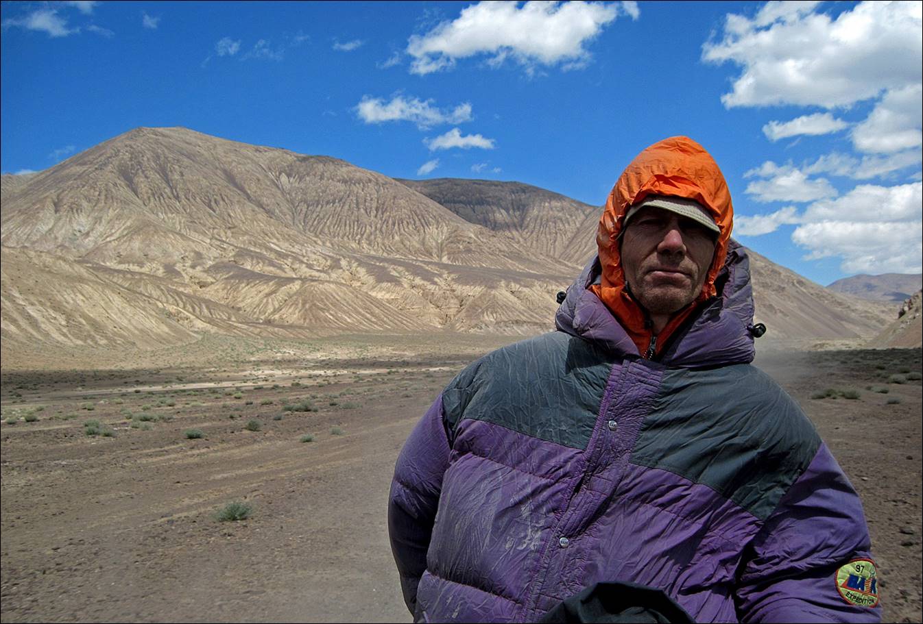
Victor at the back of the
truck.
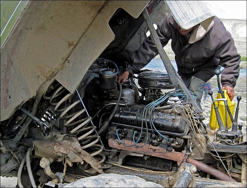
Another stop to add oil to
the engine.
|
|
|
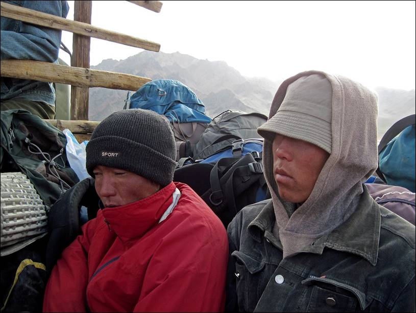
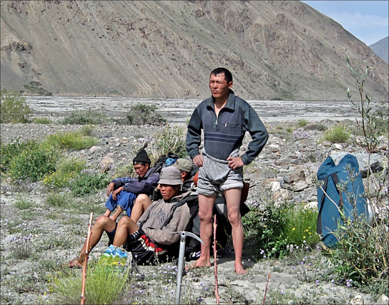
Talking with herders along
the way.

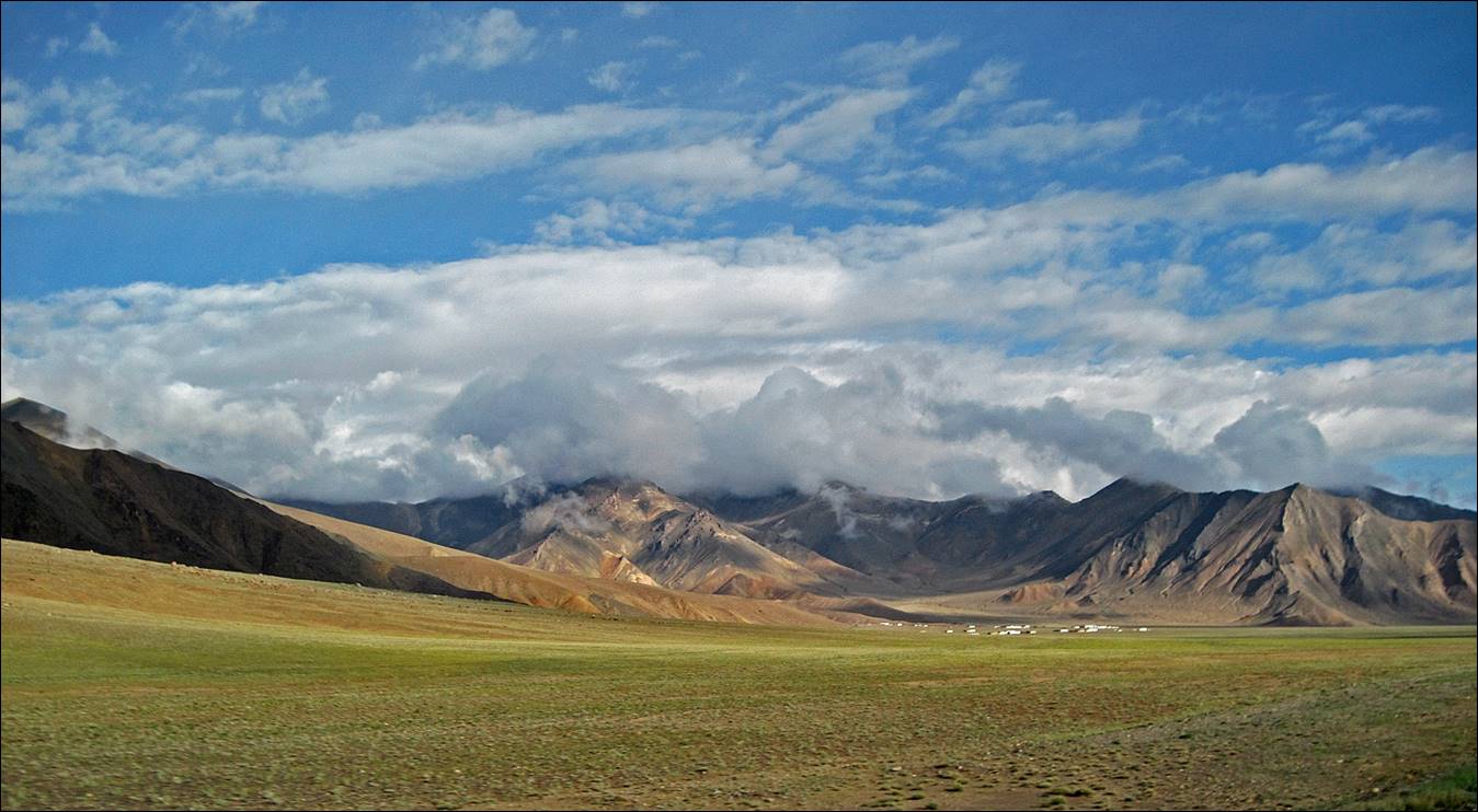
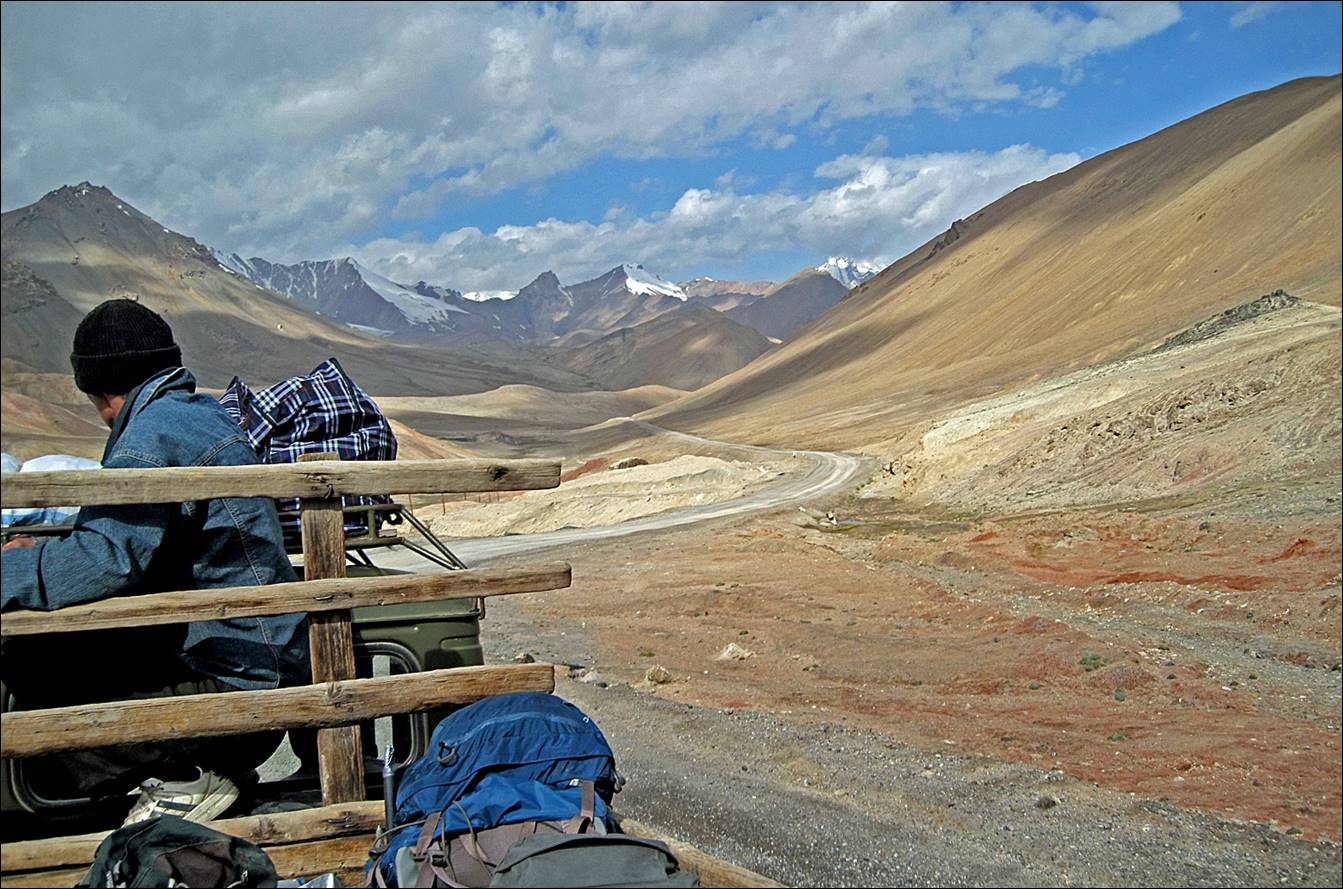
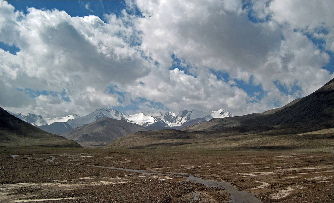
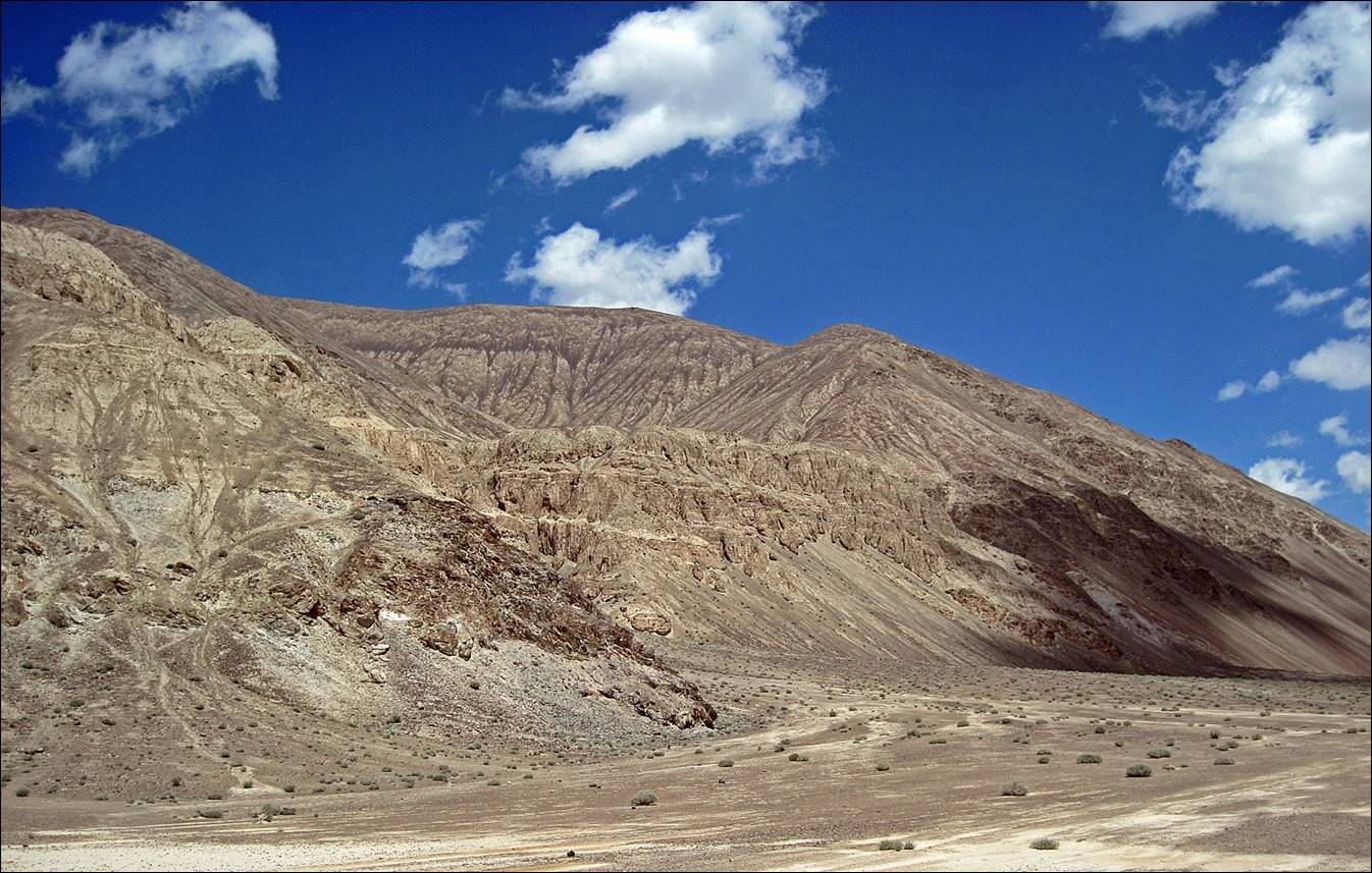
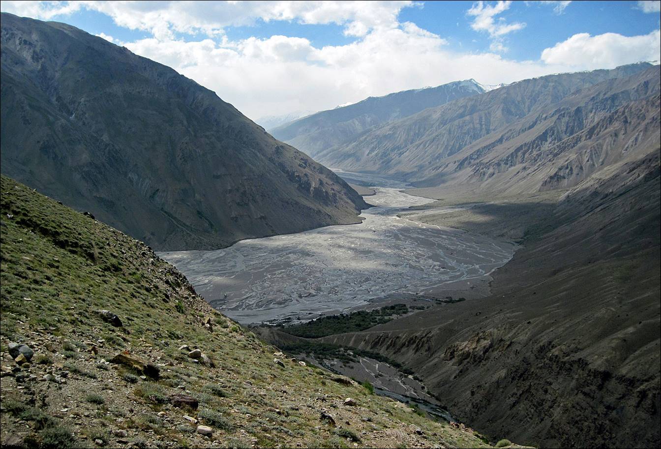
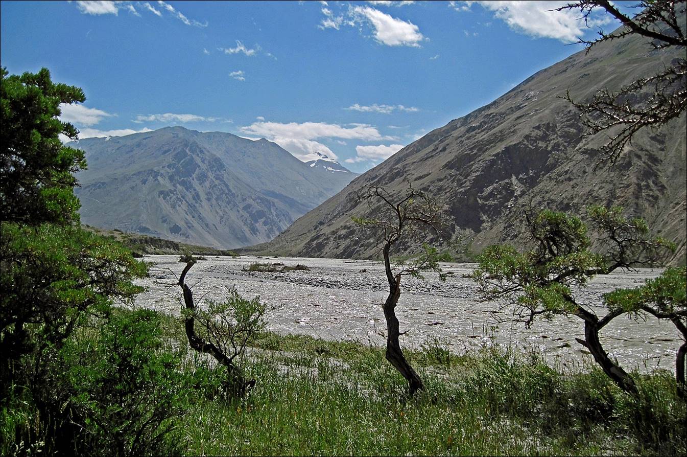
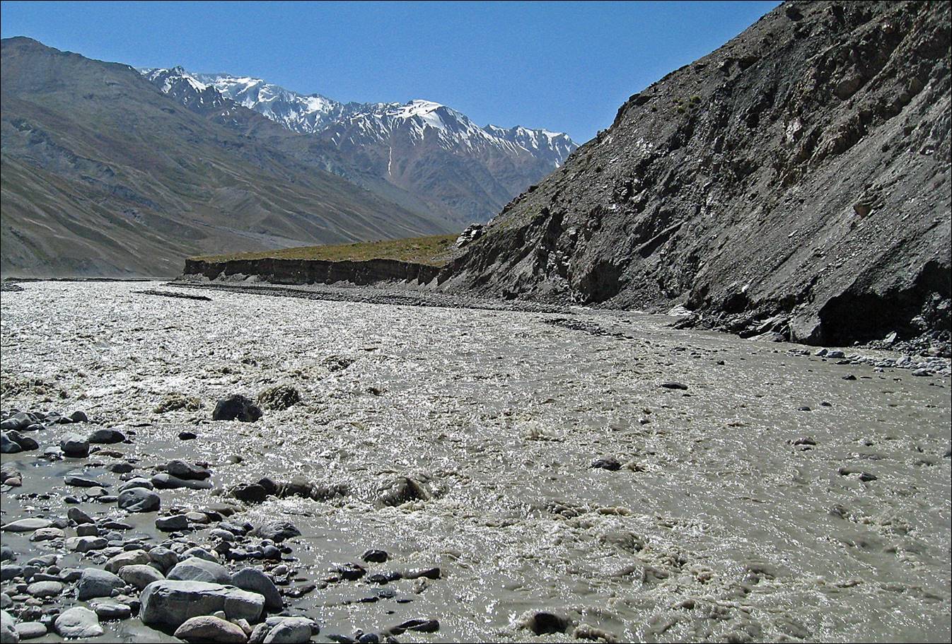
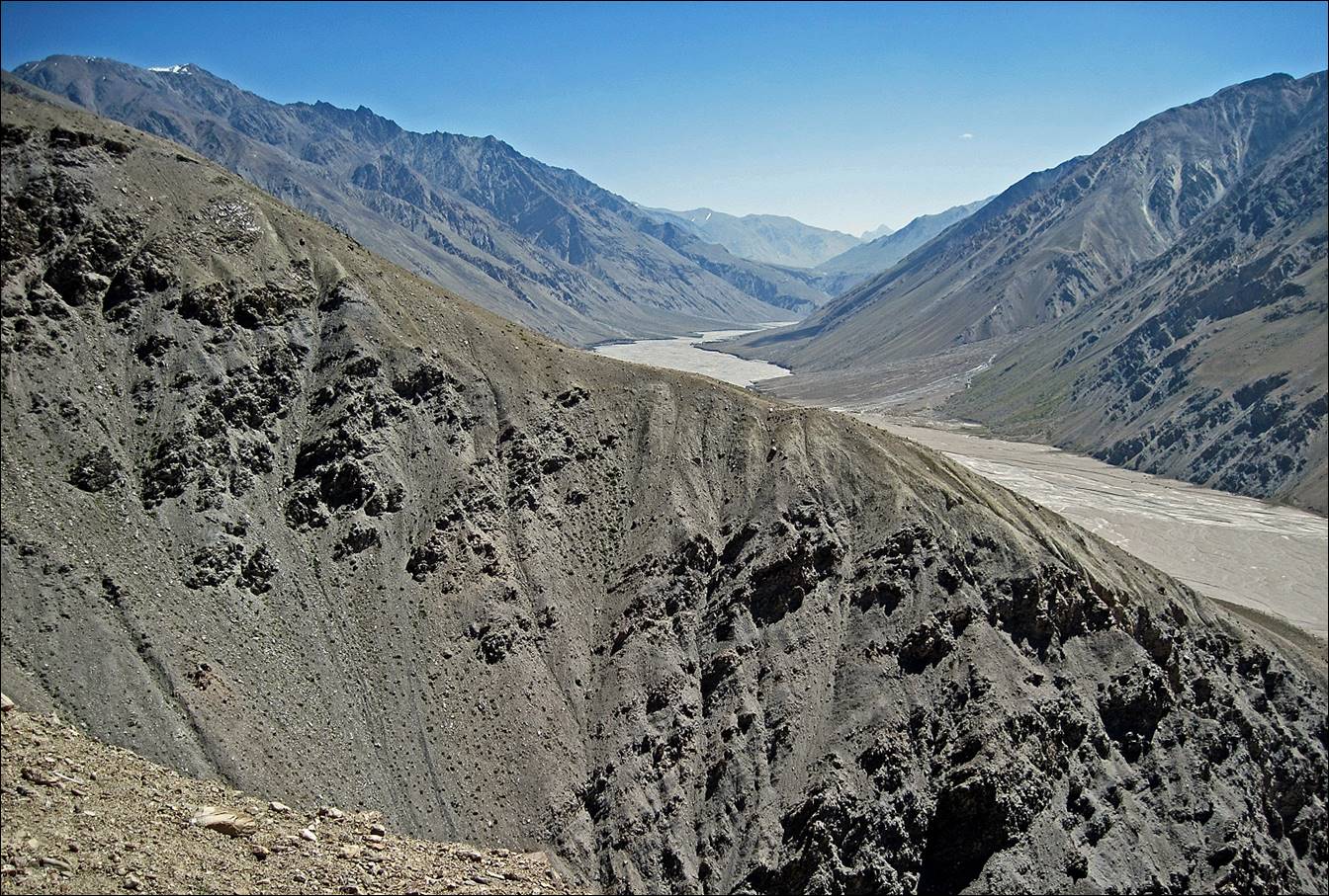
Approaching Tanymas river.
View over Tanymas river and the smaller Kokjar river. The so-called ″Kokjar
place″ is at the confluence of the two rivers
We put our first camp at ″Kokjar place″ on the bank of Kokjar
river. In the evening we made the first cut into a big
(and heavy) wheel of cheese that we had brought from Dushanbe.

Sunset over Tanymas river seen from the camp.

The first obstacle next
morning was to ford Kokjar river,
in order to follow the left (north) side of the Tanymas
valley. There was a spot closer to Tanymas river
where crossing was much easier, but we only found it several days later on our
way back to Murghab. For this first traverse we had
to use a rope. Here, one of our porters crossing.

Our porters after fording Kokjar river. They did not look
very happy because one of them had lost a good amount of bread into the river.
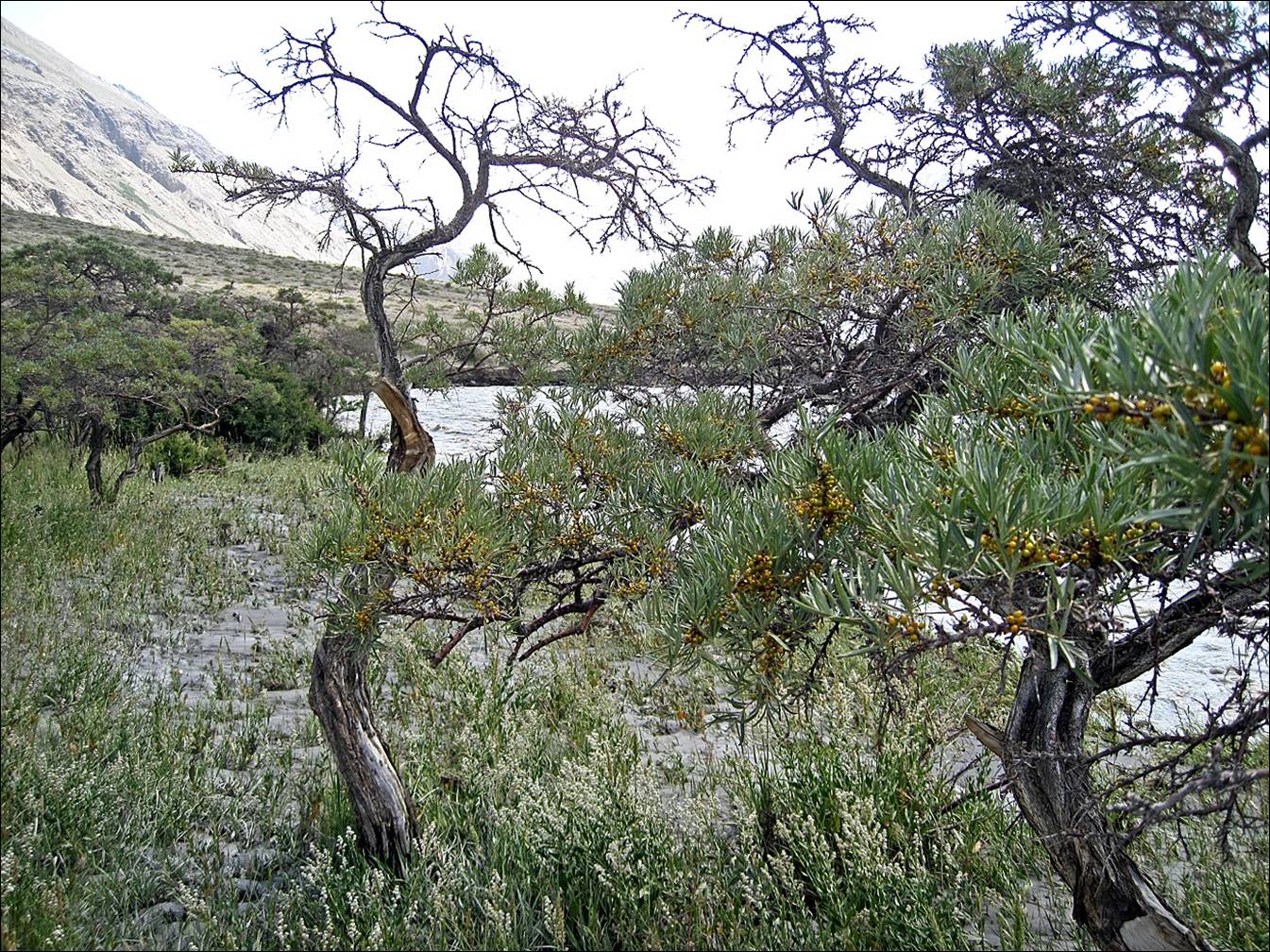
Initially, there were some
trees and grass along the river, but not for very long.
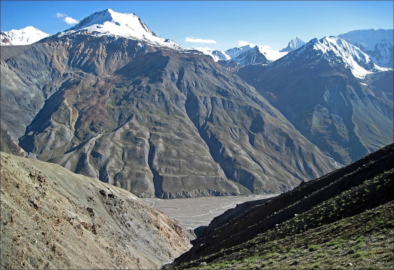
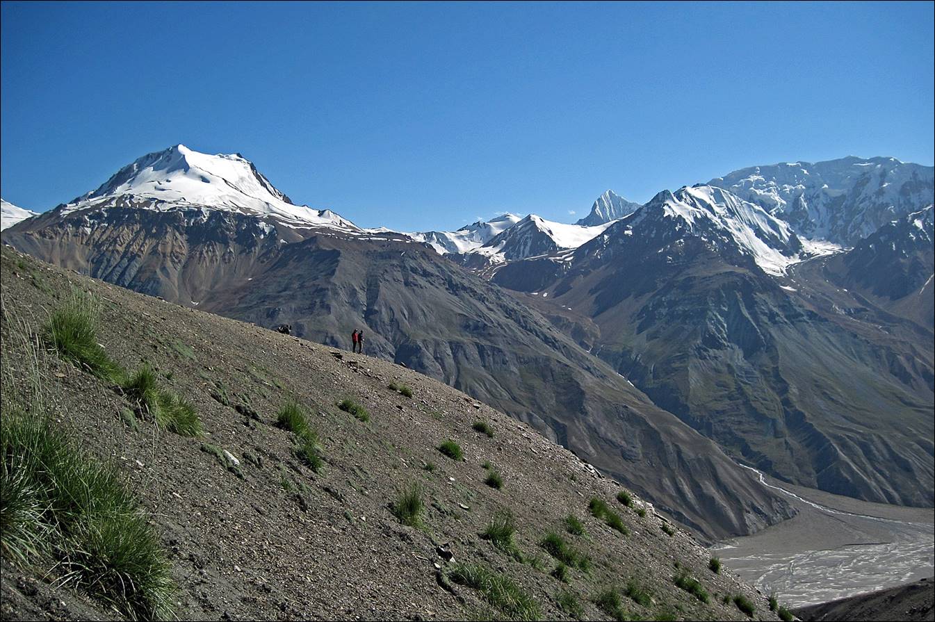
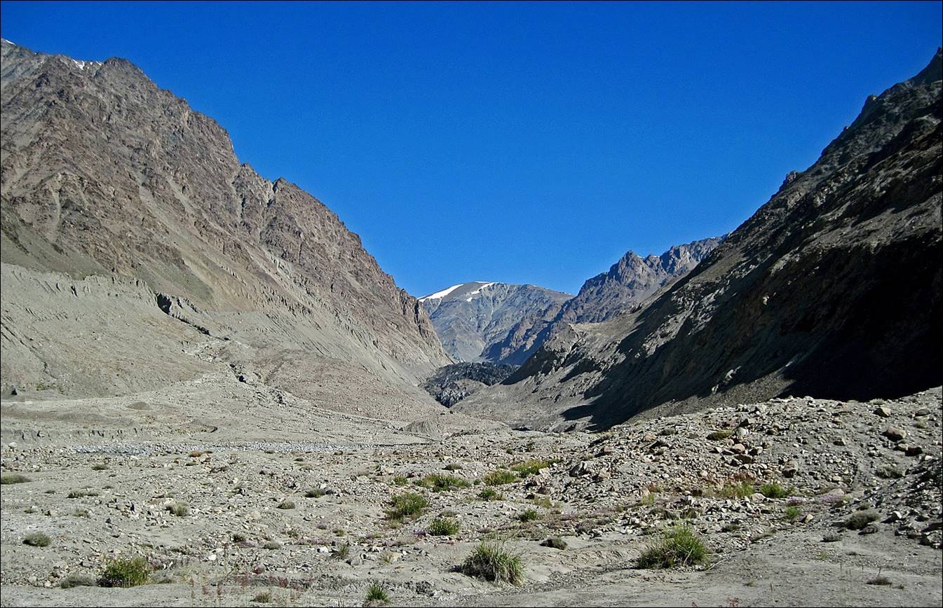
Views of Tanymas valley further up.


Side valleys.
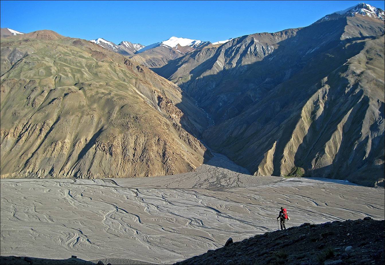
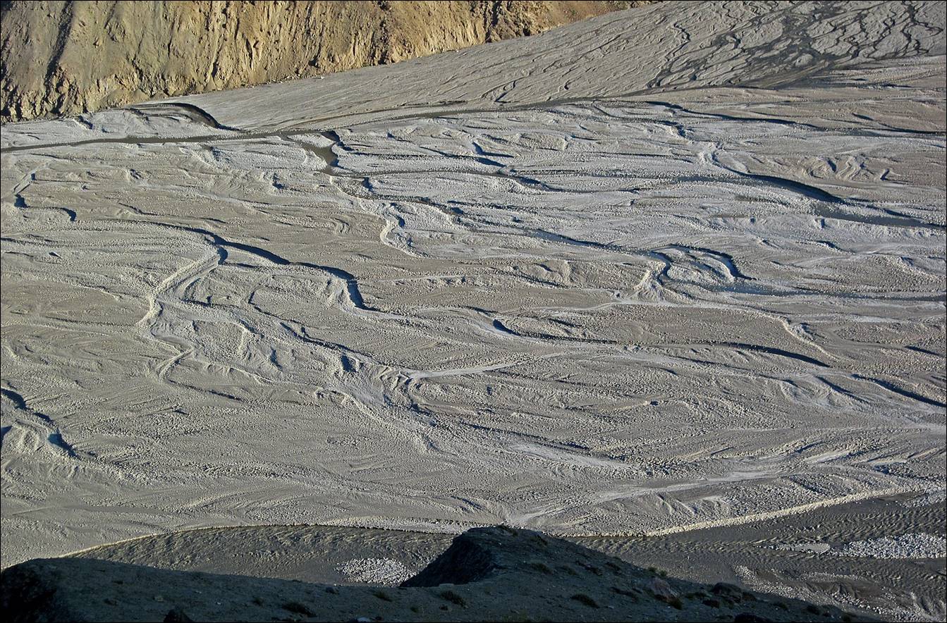
The level of river Tanymas was changing dramatically during the day. Passages
along the north bank that were dry and passable in early morning were flooded
and impassable later in the day.
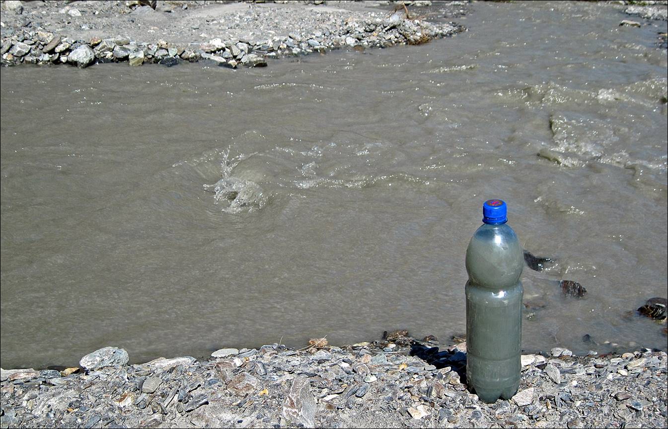
Often we could not find
clear water. This is the kind of water we could get from Tanymas
and side-rivers.
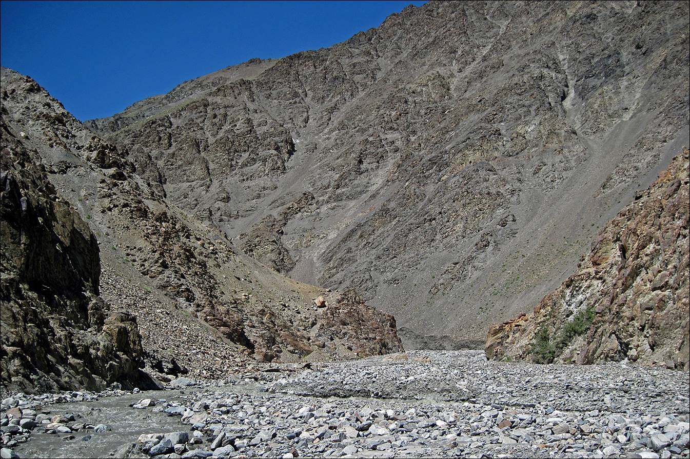
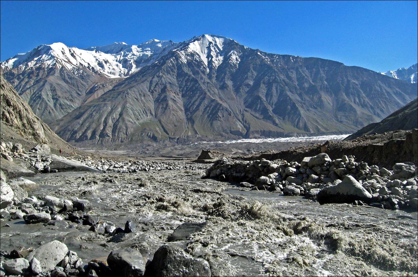
Tanymas river
is too deep and wide to ford. On several long sections the river grazed the
north slope of the valley, forcing us to climb above the river bed. As the slope
above the river was often cut by deep ravines we had to contour these ravines
by climbing steep and strenuous talus (in one case, more than 600m).

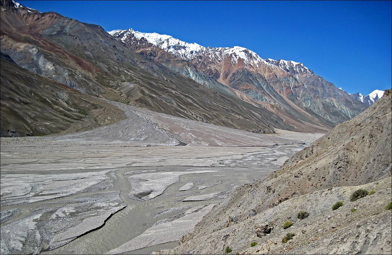
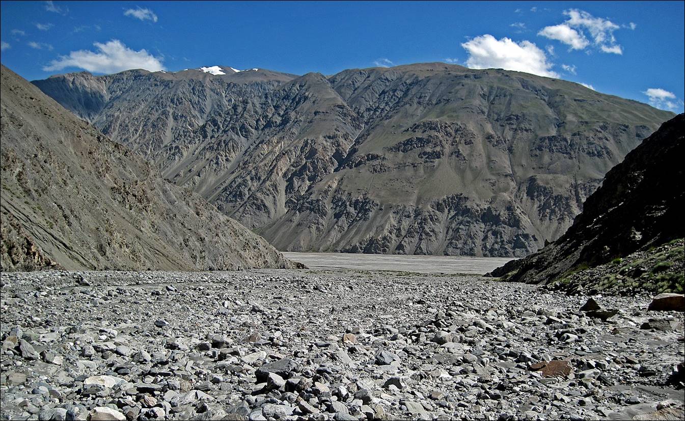
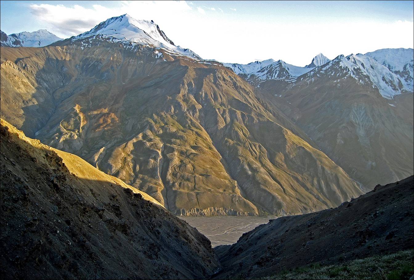
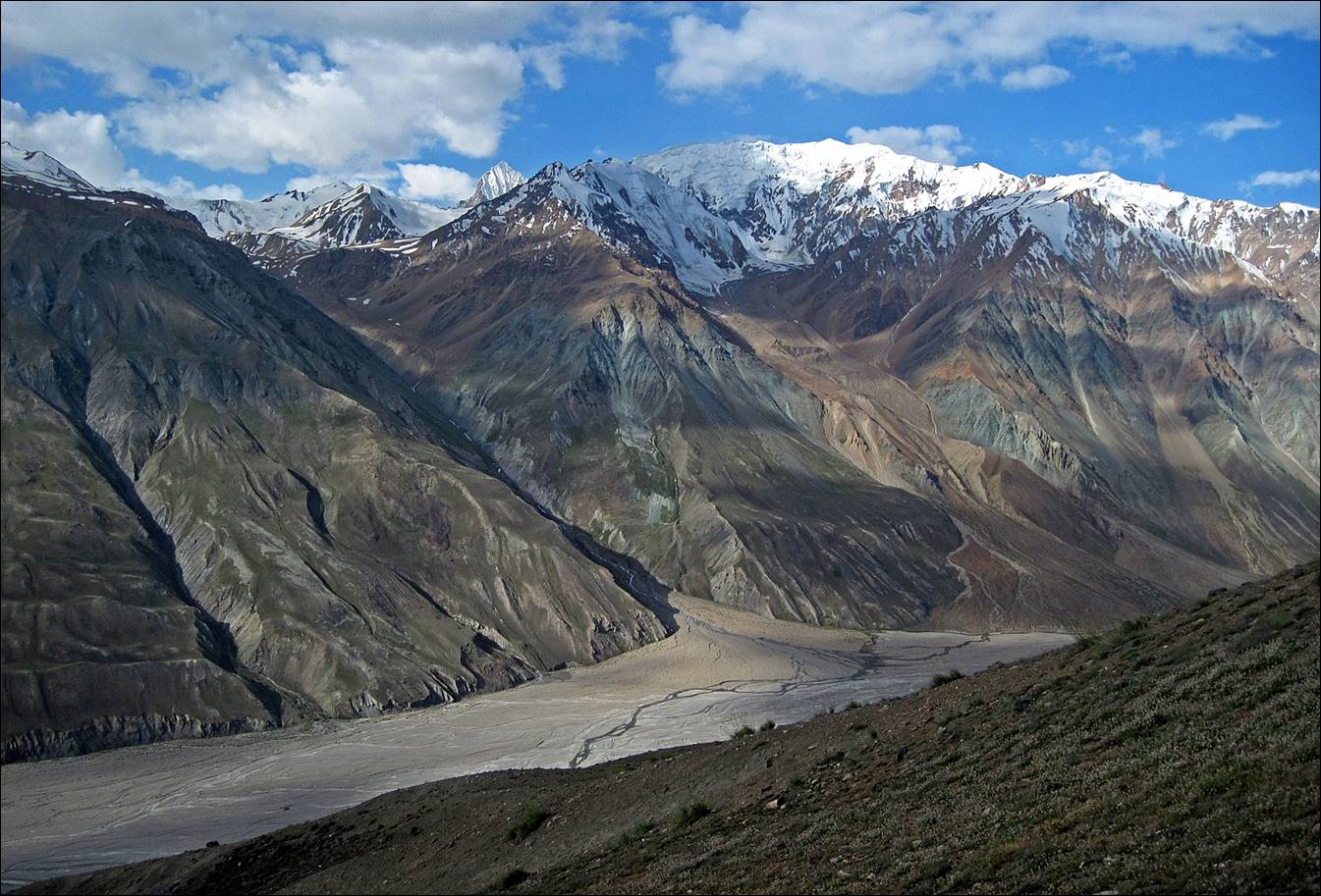
Downstream views (toward
the east) of the Tanymas valley.

Views of the southern side
of the Tanymas valley.

The riverbed seen from
above.
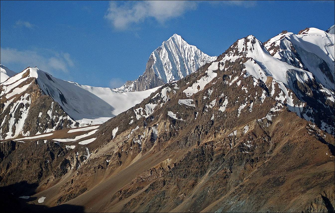
Peaks on the south side of
the upper Tanymas valley.

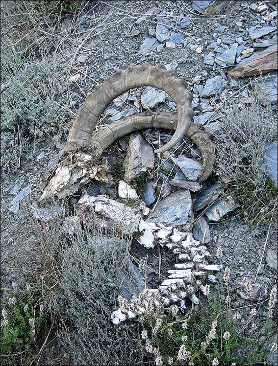
Although we did not see
much wildlife, we observed many traces of it, including these fresh footprints
of snow leopards and horns of dead mountain goats.
|
|
|


|
|
|

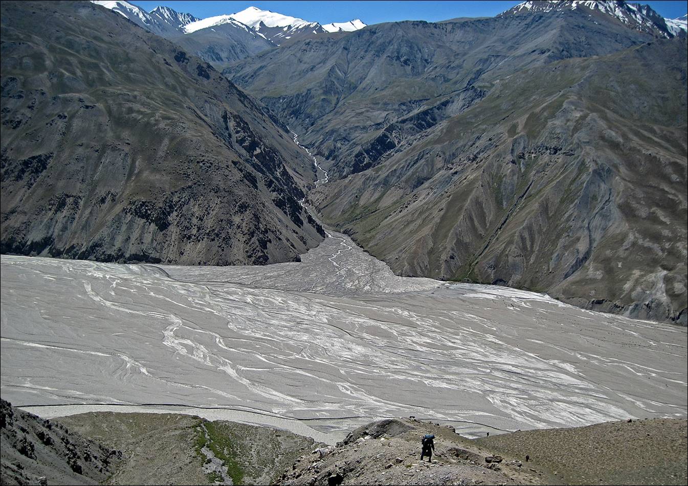
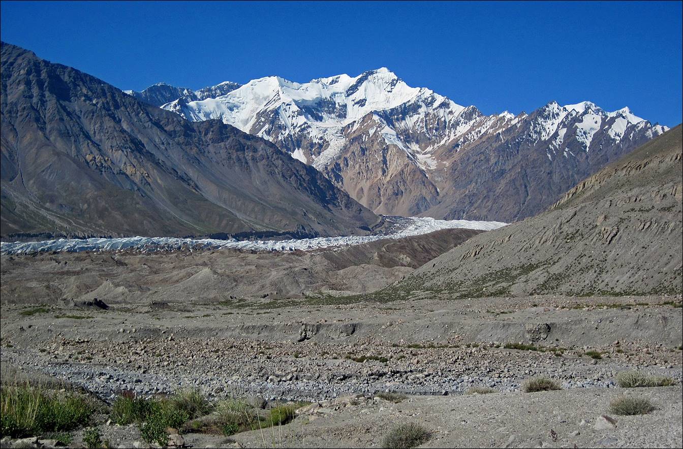
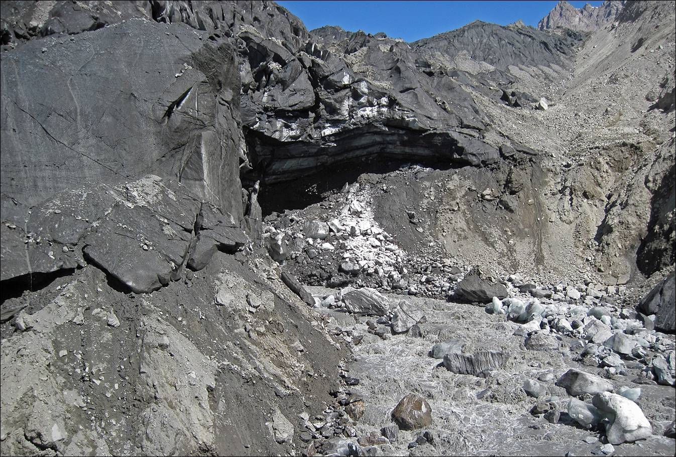
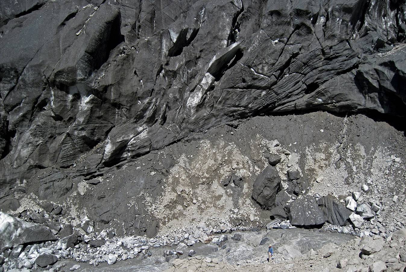
The lower part of the Grum-Grzhimailo glacier.
The valley leading to the Severnyy Tanymas glacier (black
ice visible in the center of the photo).
The river that flows out
of this glacier.
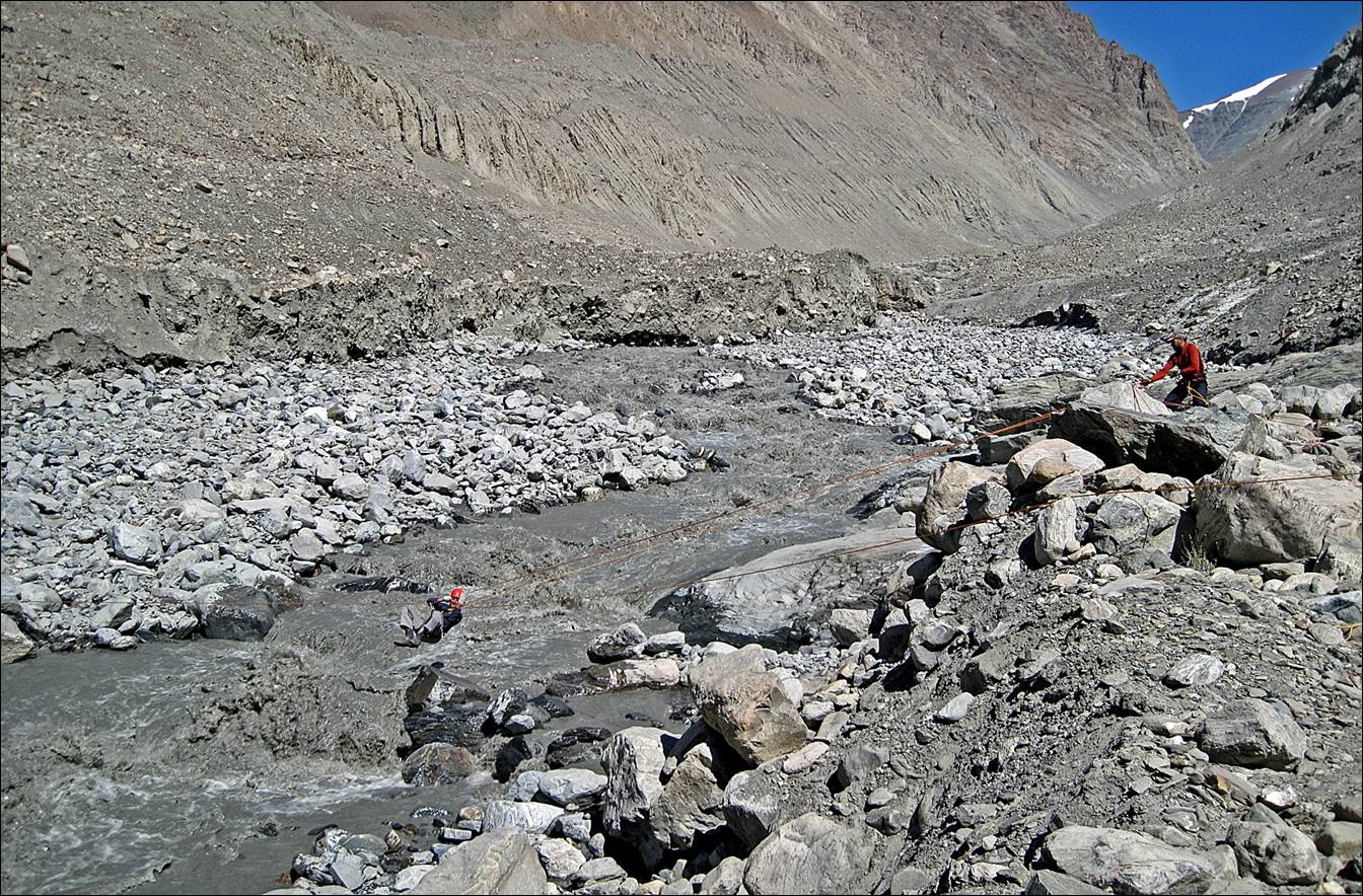
Victor (in blue, at the
bottom of the picture) trying to find a place where to cross the river, just
under the Severnyy Tanymas
glacier.
Eventually, Victor created
a Tyrolean traverse across the river. However, we were several days late,
relative to our planned schedule. I was concerned that we would meet other
difficulties later and would not be able to complete the crossing of the Fedchenko glacier on time to reach the Vanch
valley on the other side of the glacier. So, I made the (probably misguided, in
retrospect) decision to return to Murghab and,
instead, try to reach the Fedchenko glacier from the Vanch valley.
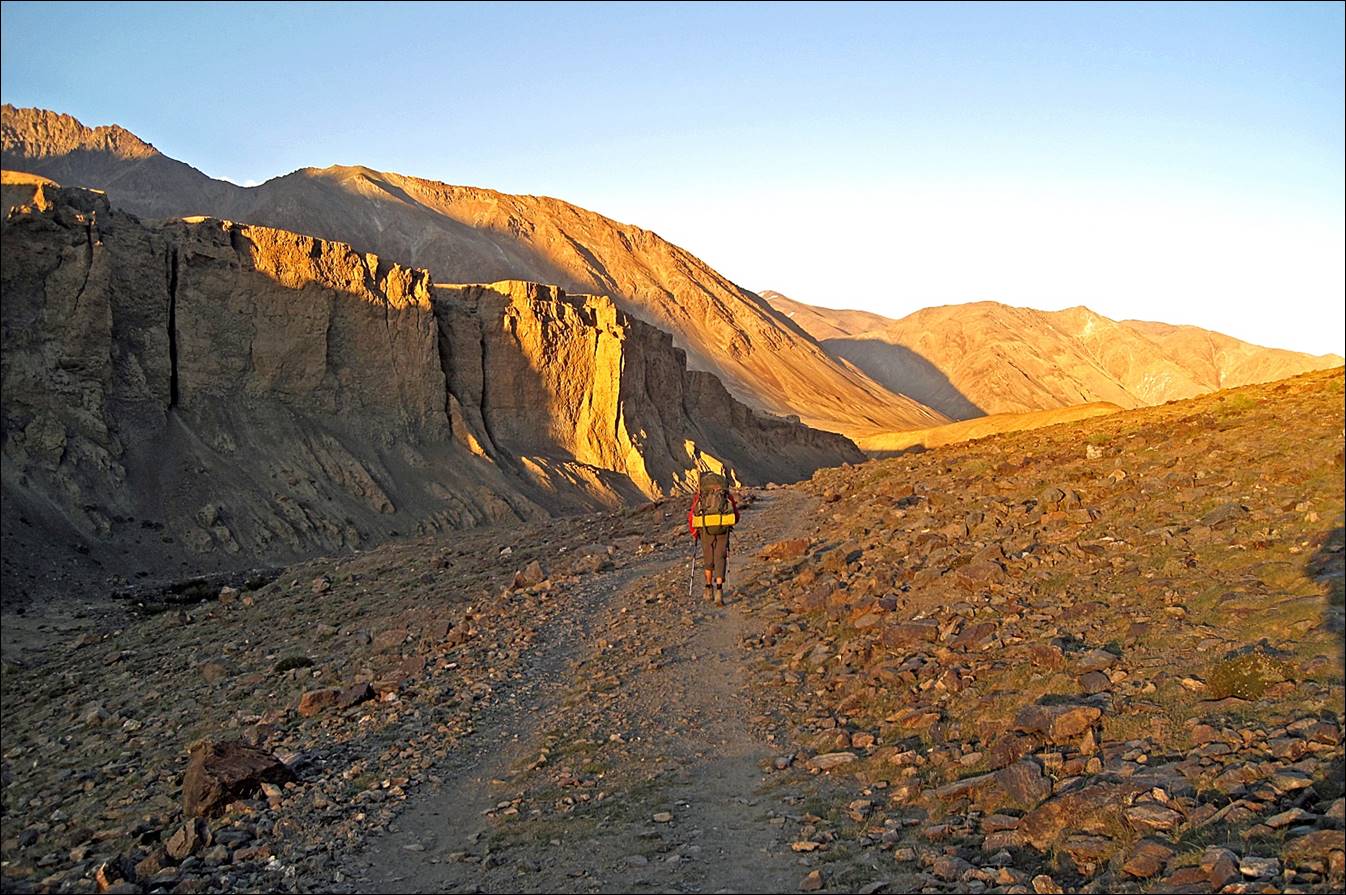
A last picture on the way
back along Kokjar river,
soon before retrieving the truck (ordered by satellite phone) that drove us
back to Murghab.
![]()
Return to Pamir
2010 main page